0.2 Miles, 50 Gain
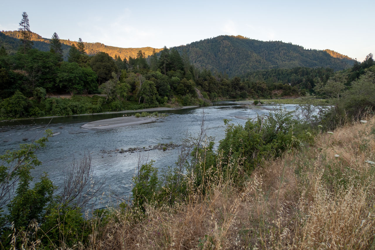
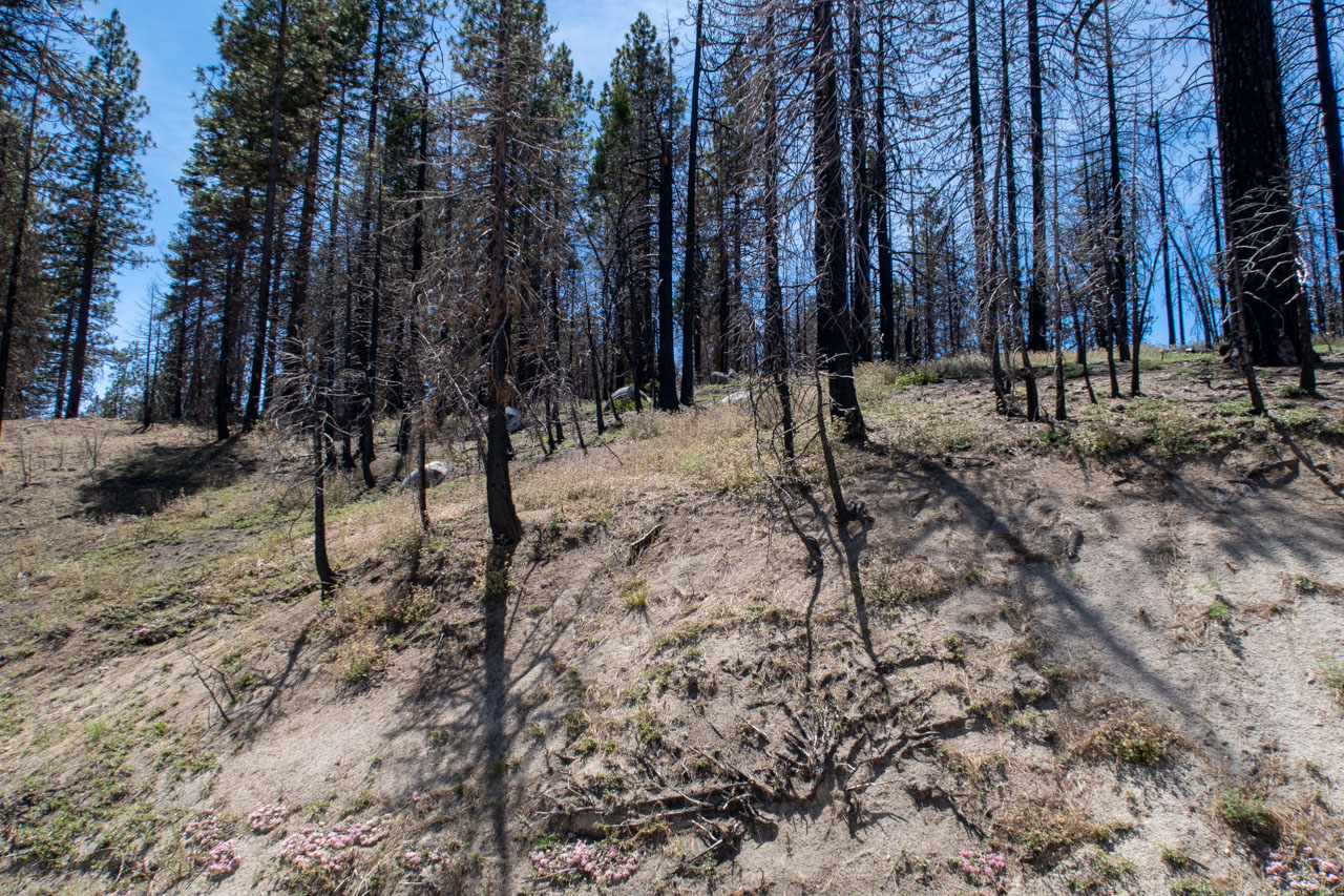
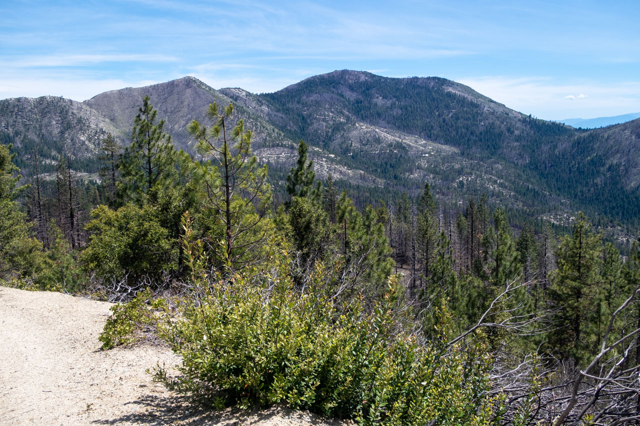
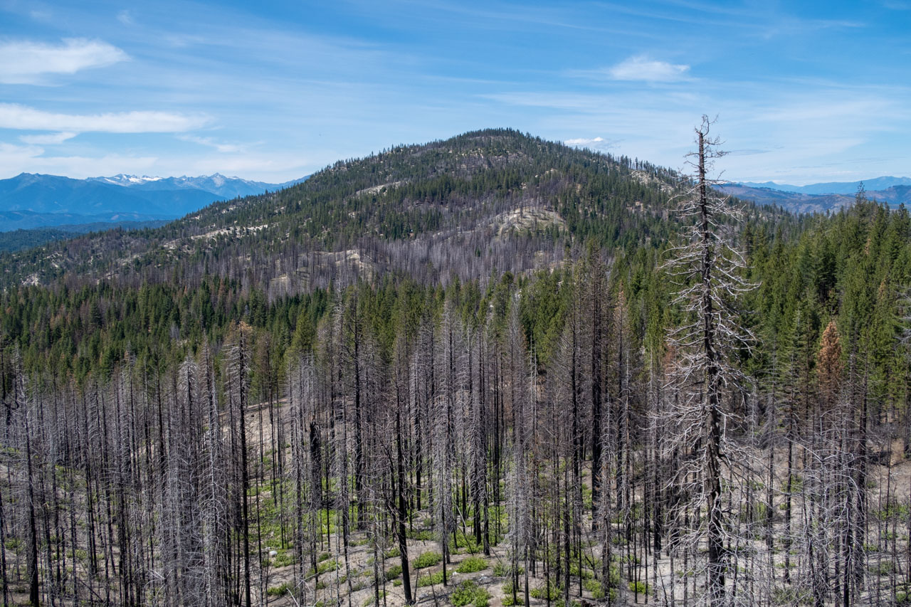
After finishing an enjoyable float on the Trinity River in the morning, the plan for the afternoon was to take the road leading to Bully Choop Mountain. We stopped along the way to visit a few other peaks that were near the road. The first of these was Buckhorn Bally. The road goes nearly over the summit, requiring only a short hike to reach the highpoint. The 2018 Carr Fire had burned much of the surrounding forest, although thankfully it hadn’t reached Bully Choop Mountain.
0.2 Miles, 50 Gain
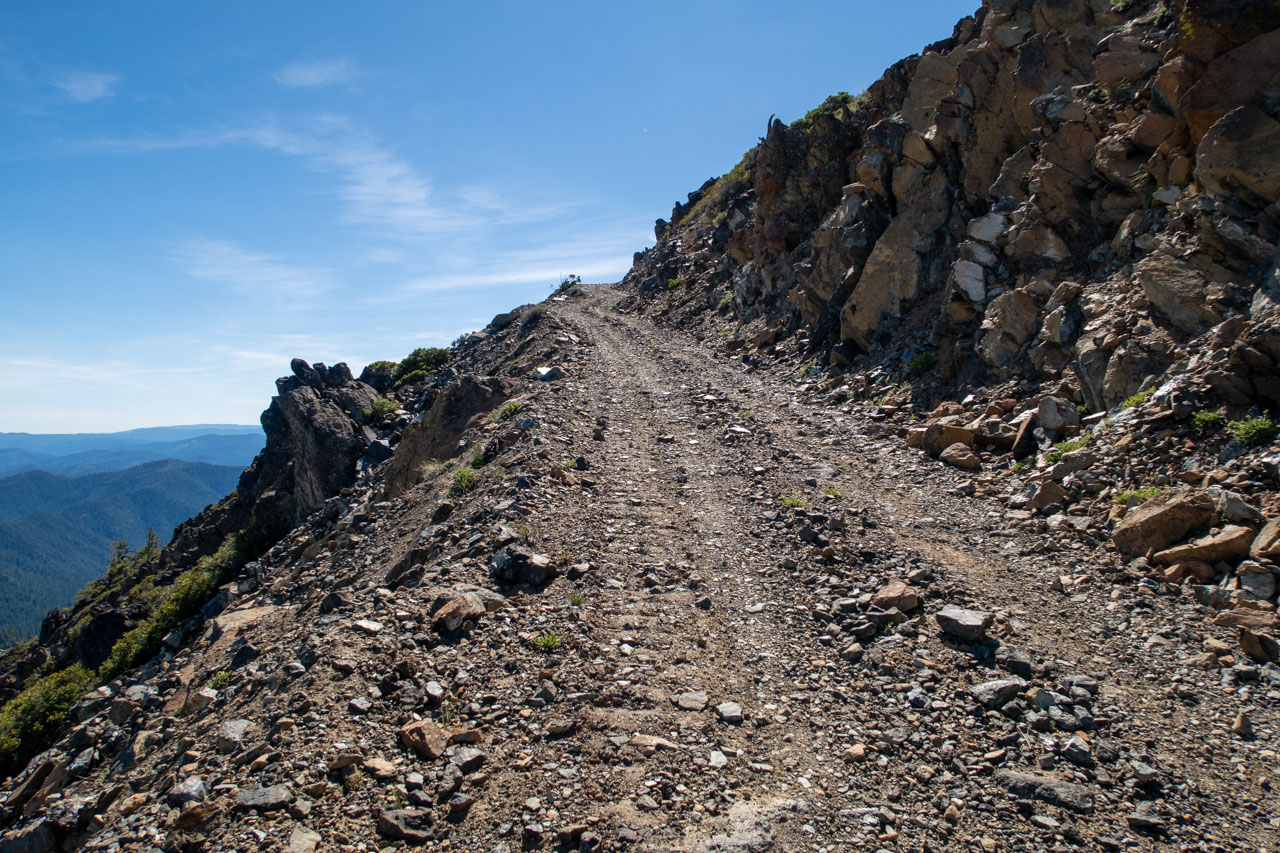
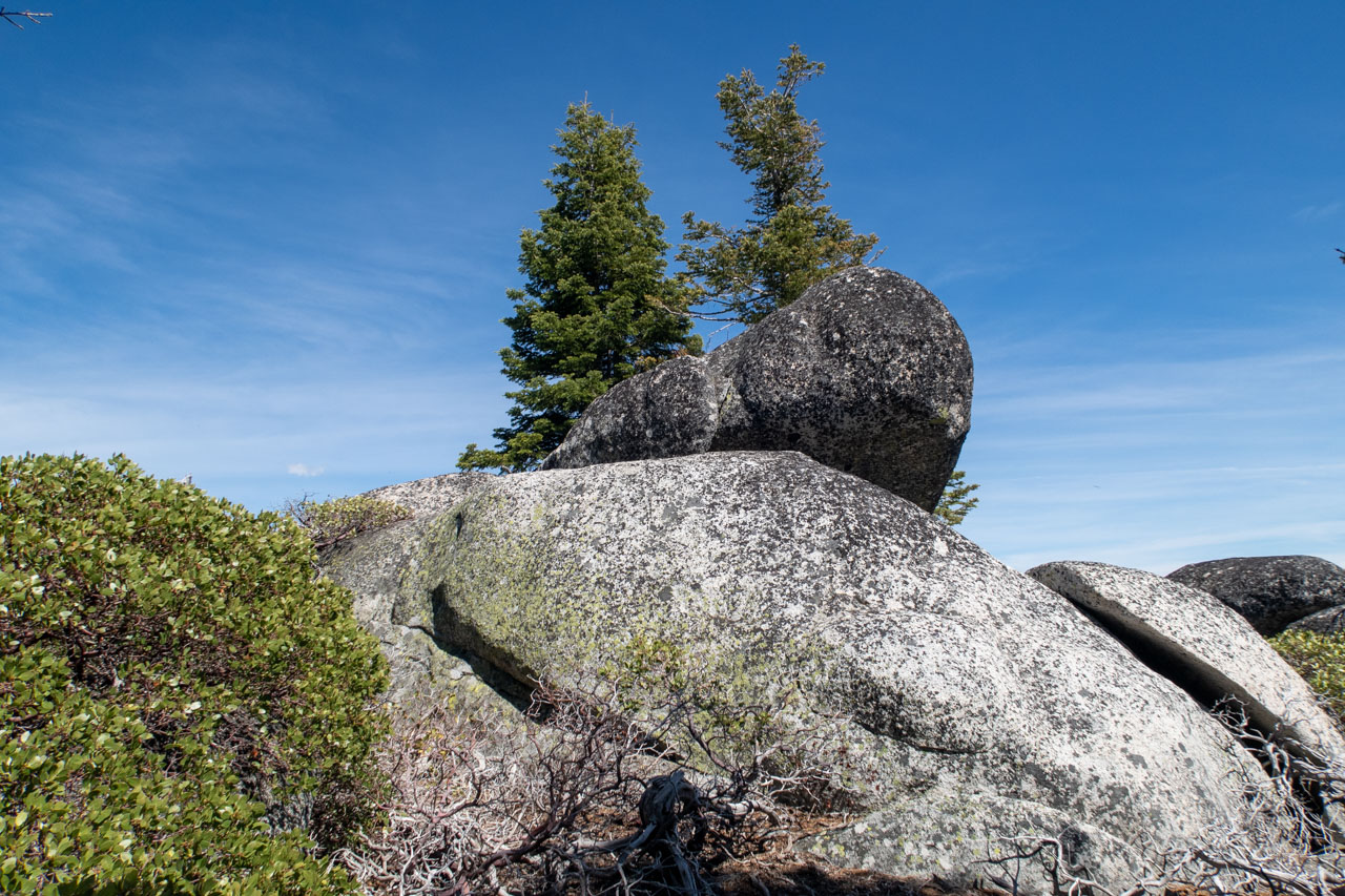
The road became steeper and rougher as we continued toward Bully Choop Mountain. A mid-clearance vehicle could probably drive this section, but 4WD would definitely help. We crossed Blue Ridge just south of the highpoint. There was a short scramble required to reach the highpoint.
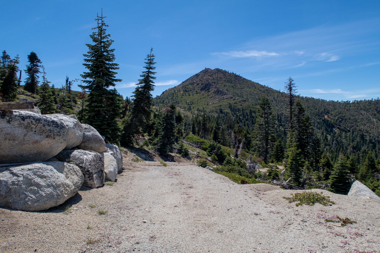
1.2 Miles, 450 Gain
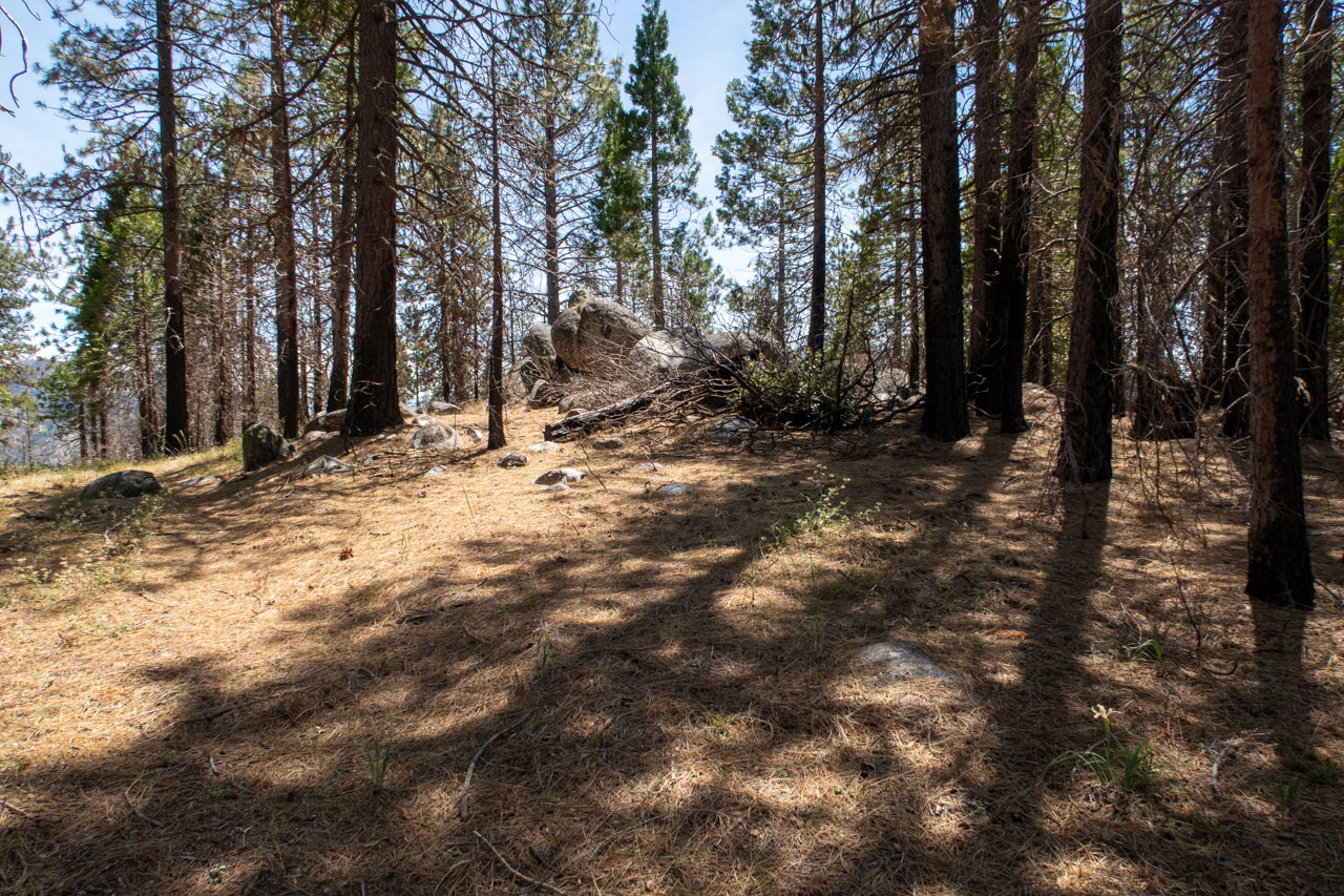
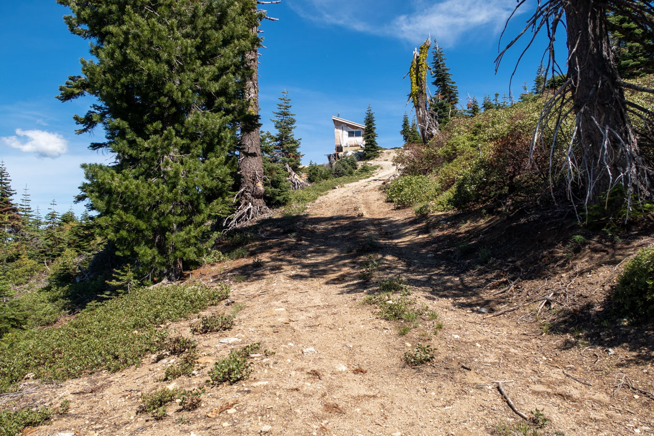
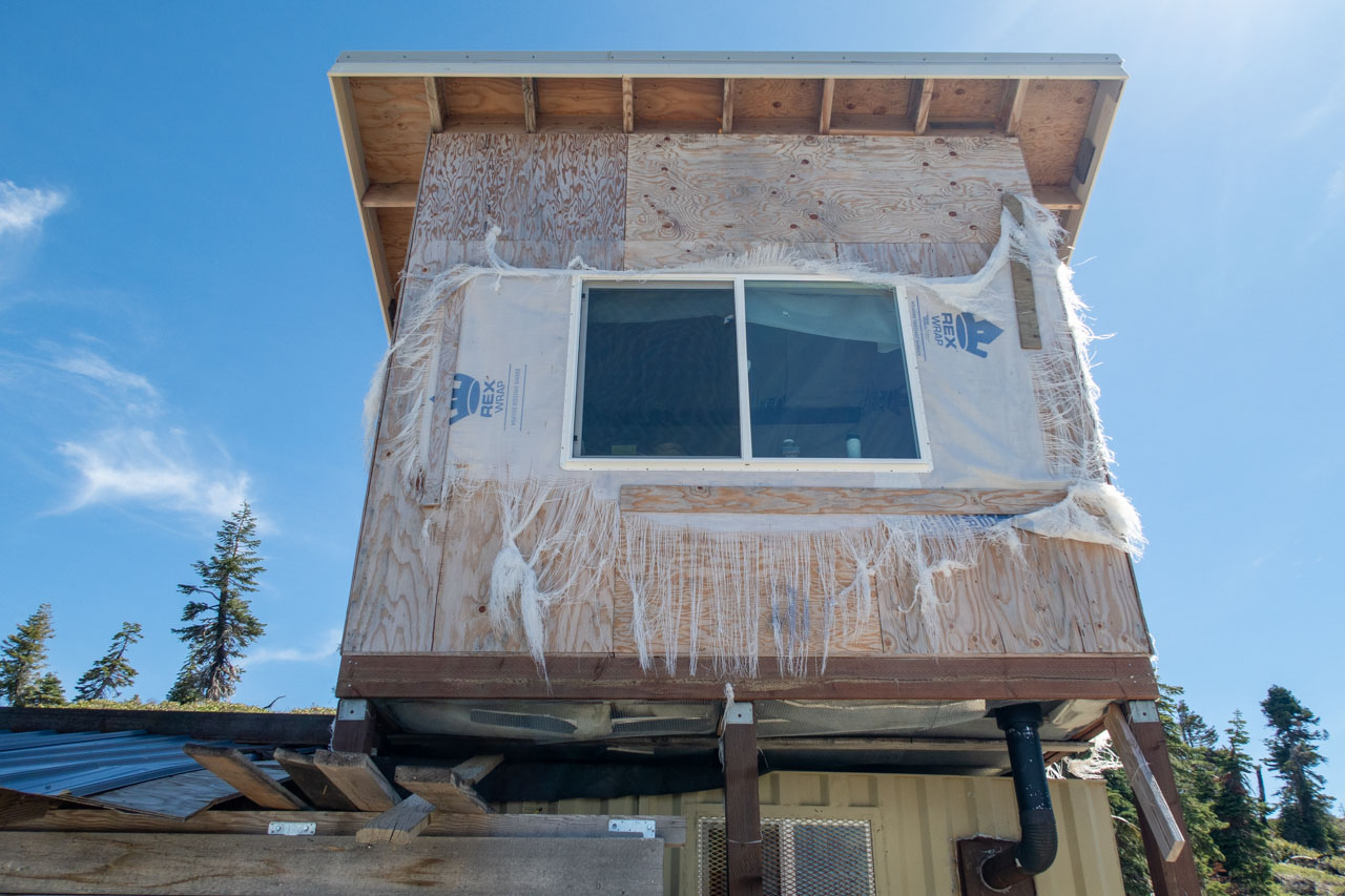
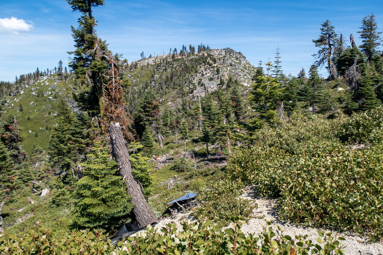
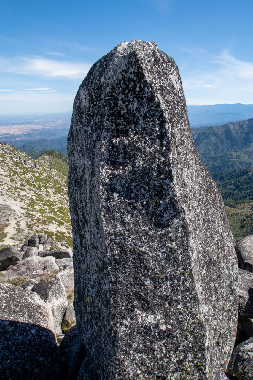
This was the longest hike of the afternoon, although it was only a little over a mile round trip. We parked near a side road that led up to a shelter on the ridge. It was difficult to tell whether the structure had been abandoned or was still in the process of being constructed. Weather proofing material hung in shreds with exposed plywood underneath – a testament to how fierce the winds must get on the ridge. The road mostly ended at the shelter, but it was easy enough to continue on the ridge over to Paradise Peak. At the top, we found a challenging summit block, roughly 10ft tall and nearly vertical on all sides. I was able to make the first move up the summit block but couldn’t reach all the way to the top. There was a nearby rock outcrop that was roughly the same height, so we climbed that before heading back.
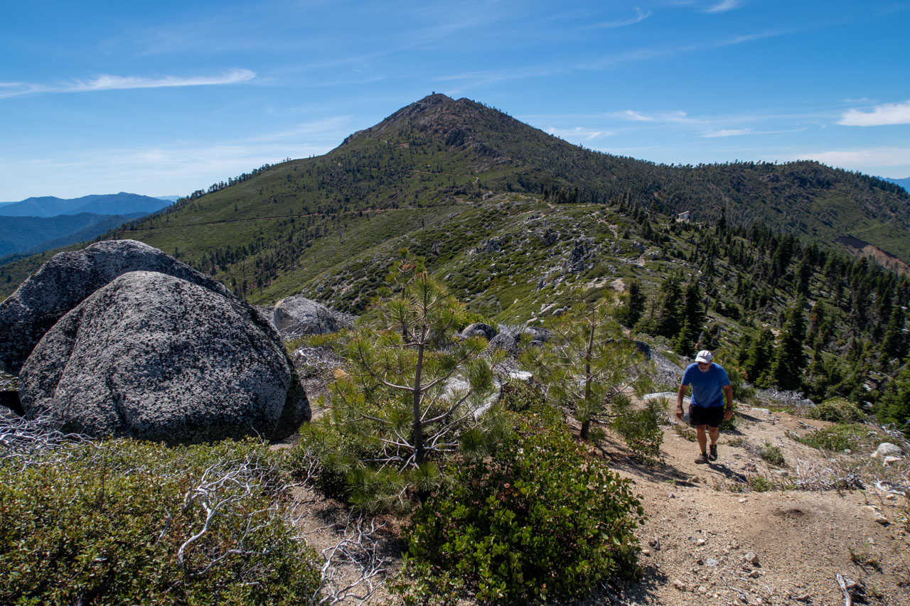
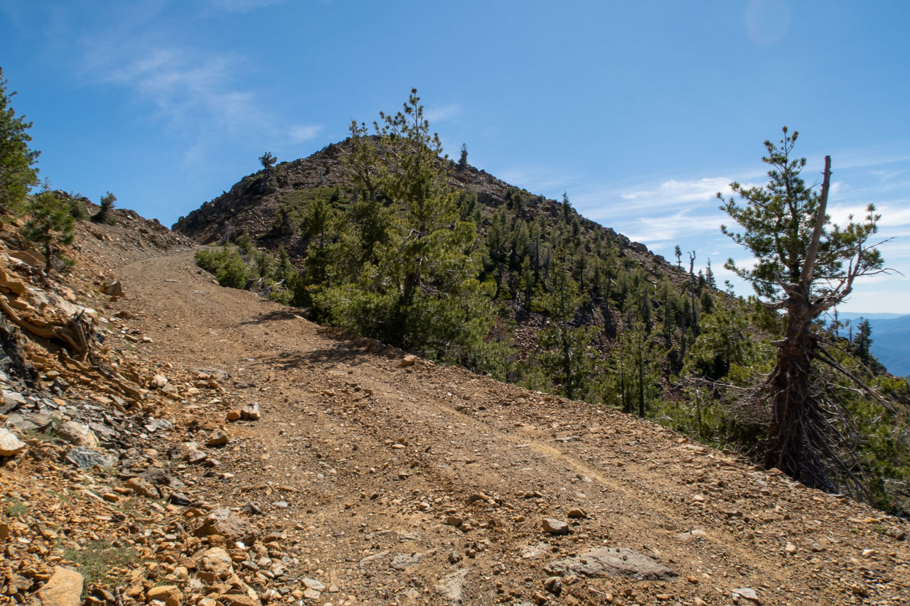
0.4 Miles, 200 Gain
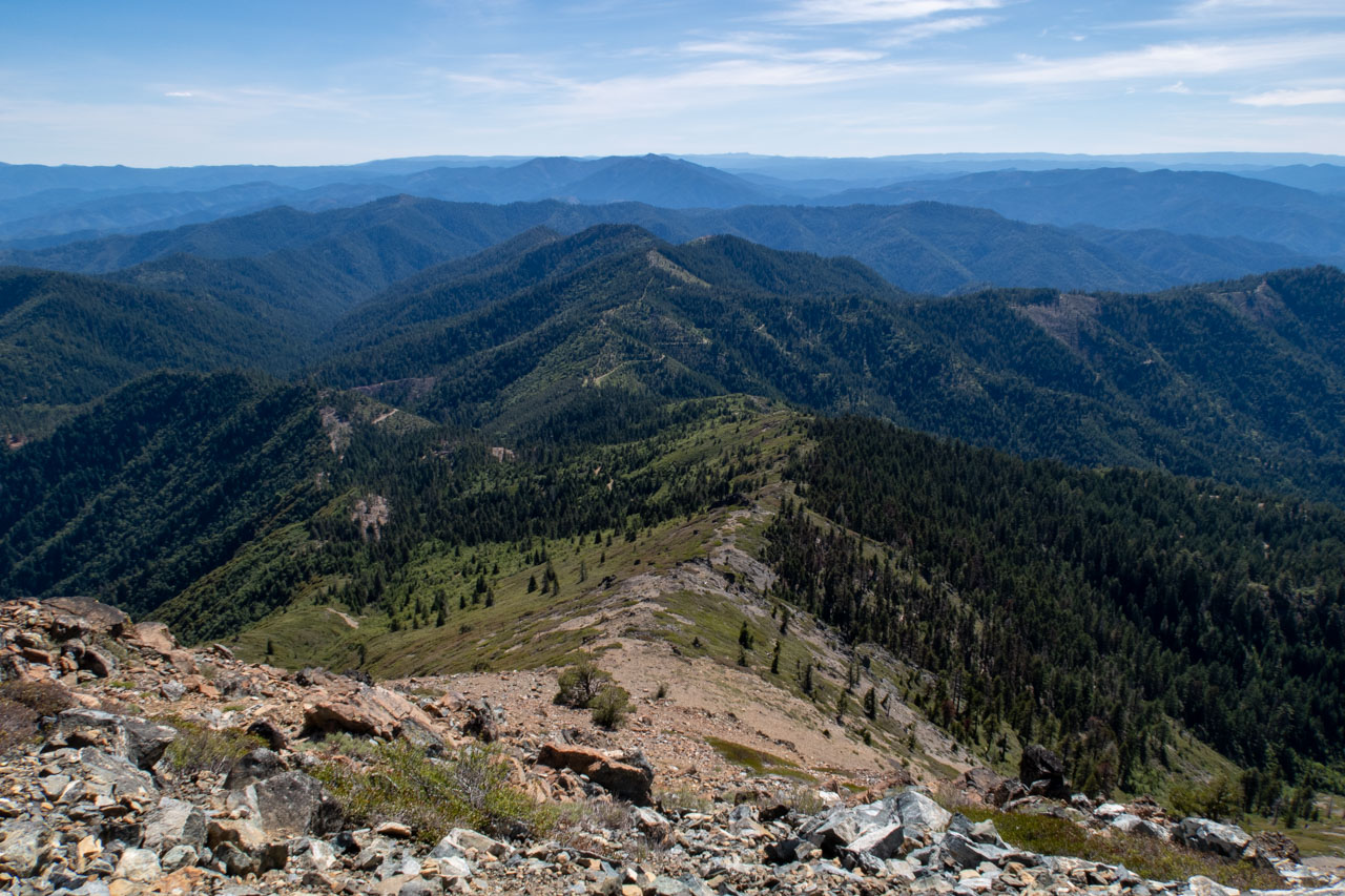
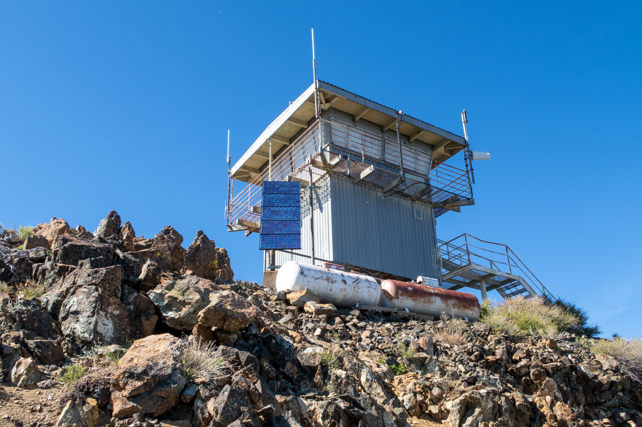
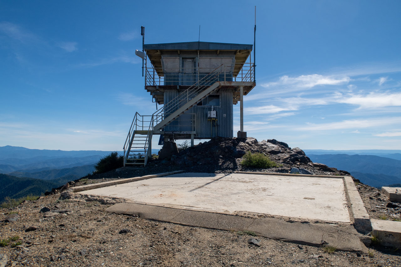
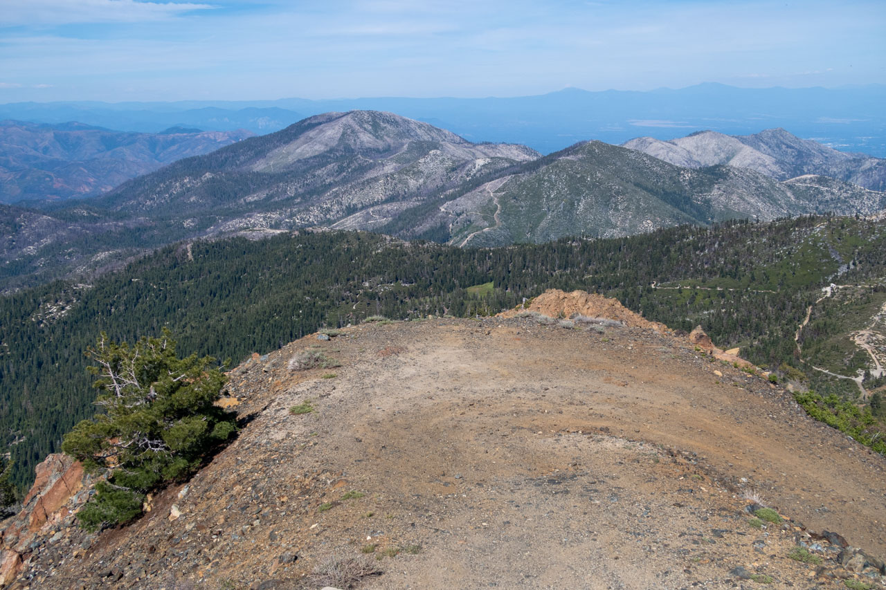
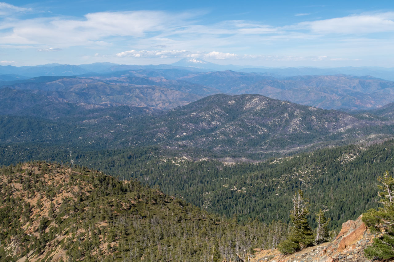
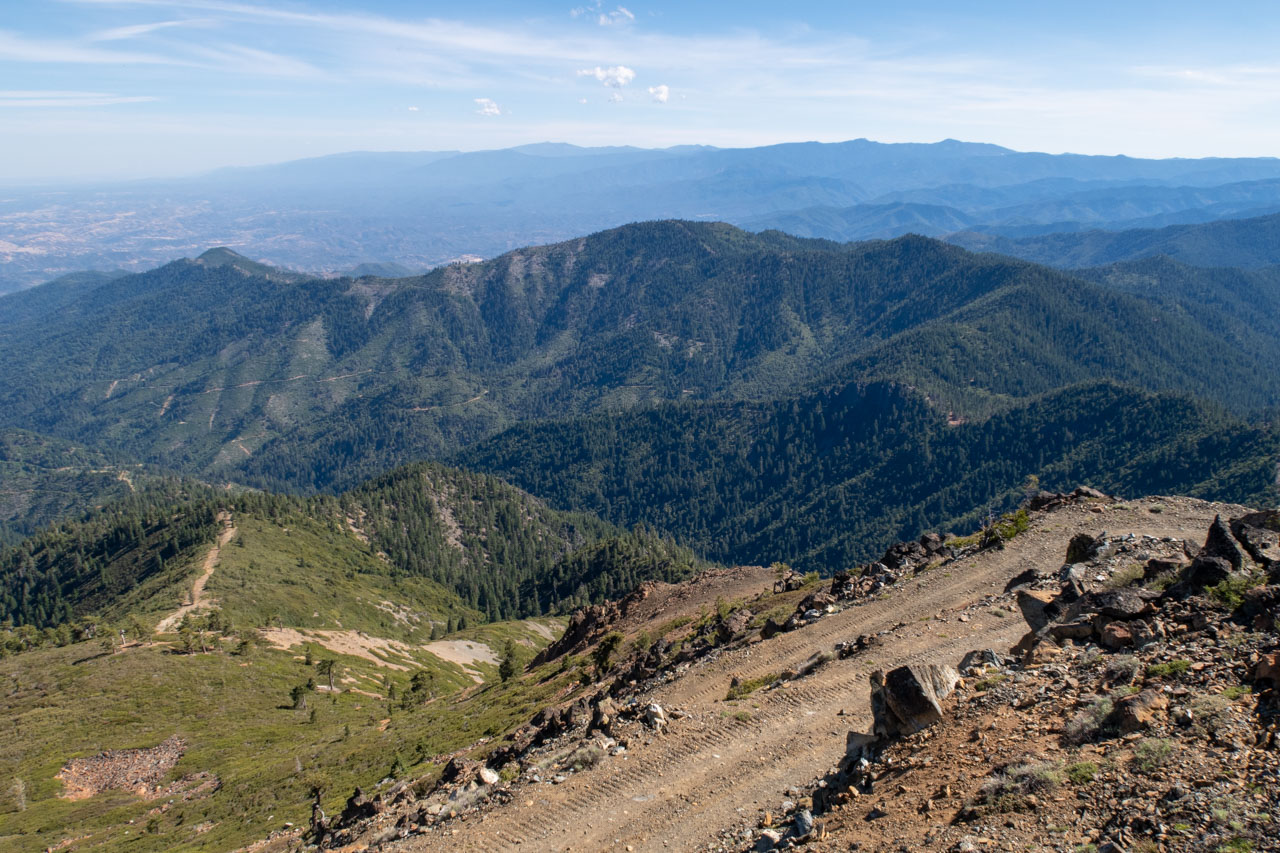
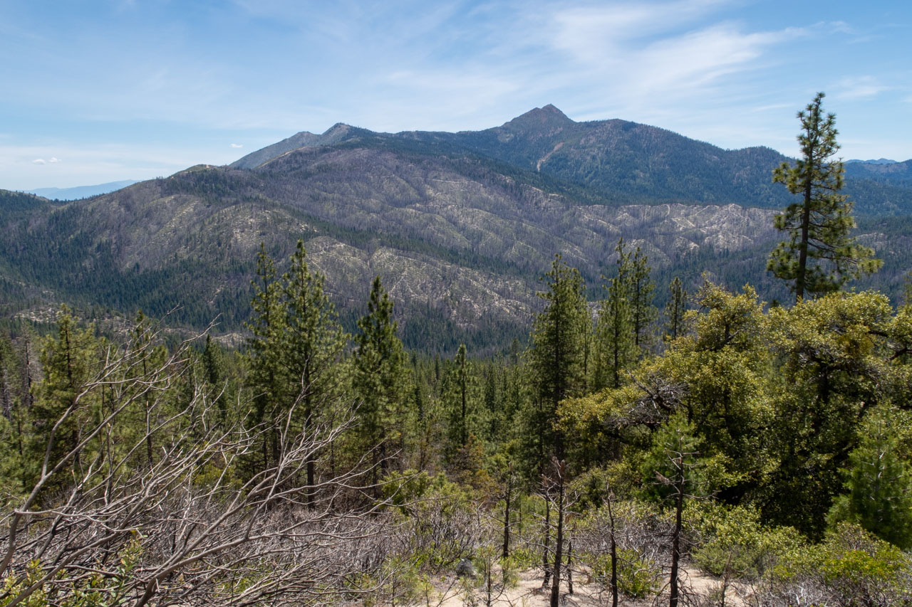
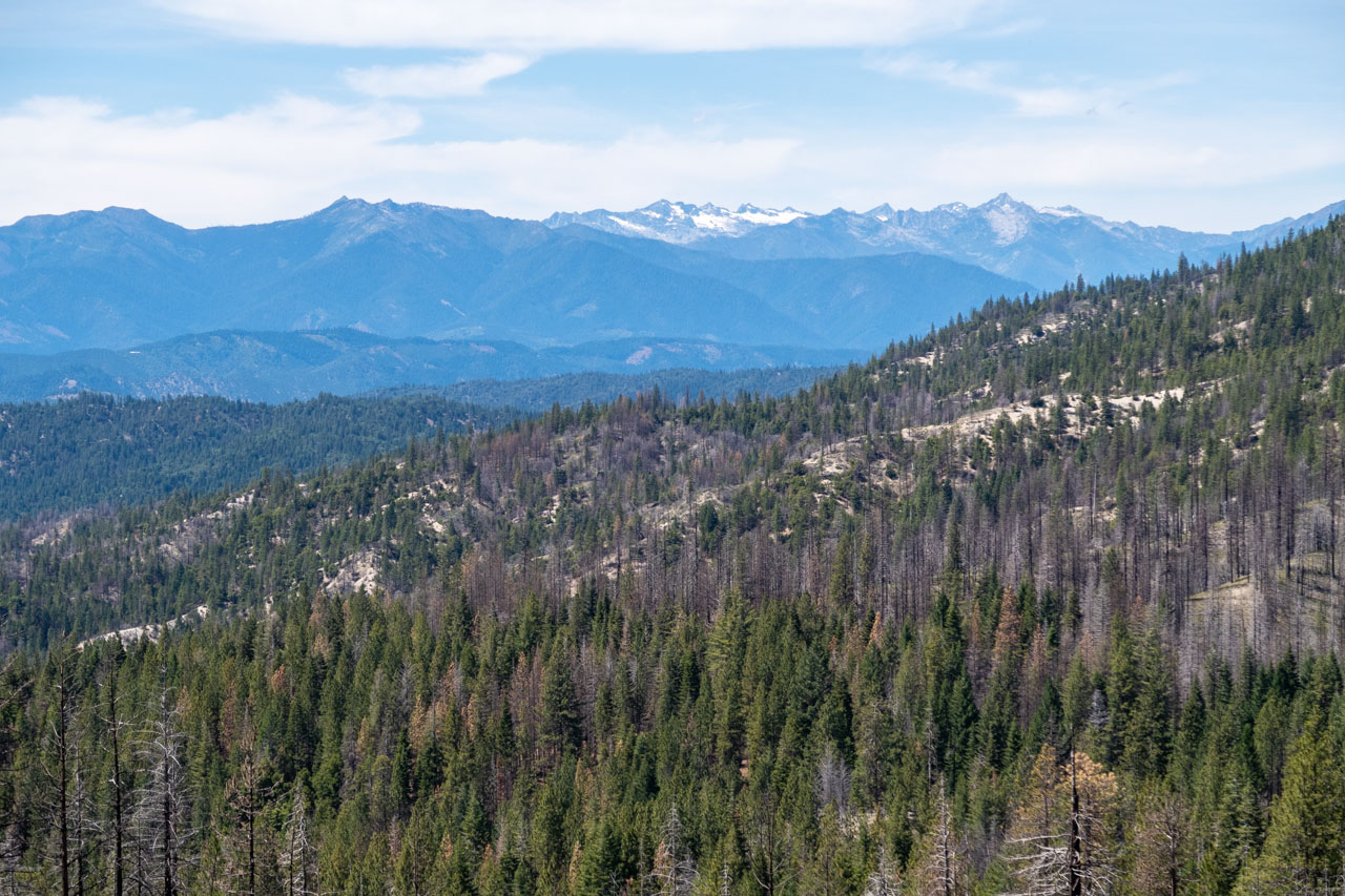
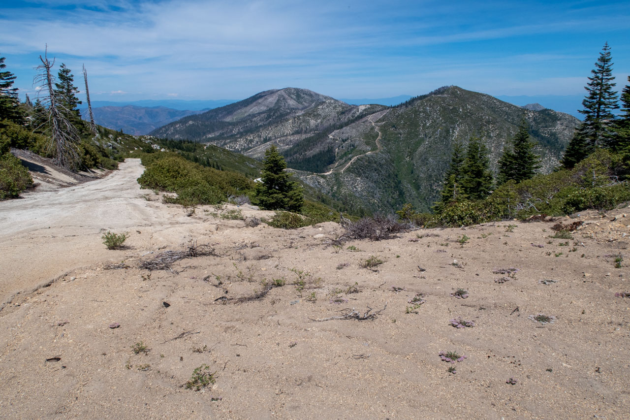
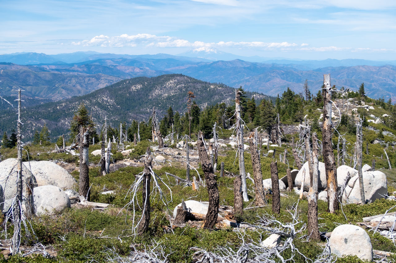
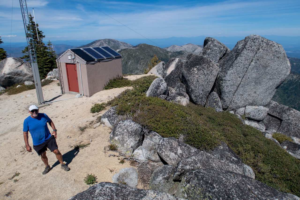
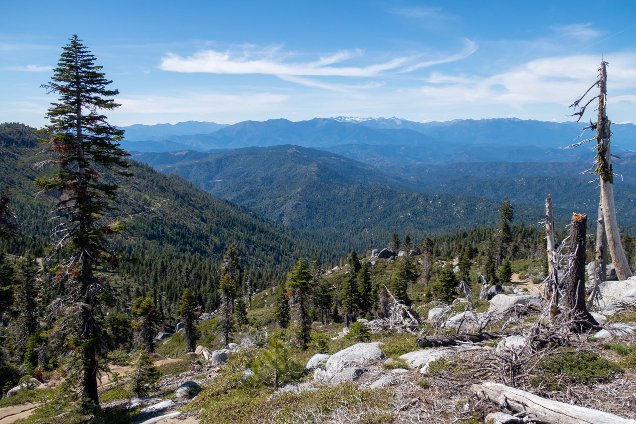
The road grew steeper and rockier as we approached the final switchbacks leading to Bully Choop Mountain. The Jeep could have driven all the way to the summit, but it seemed like we should at least do a short hike to reach the summit, so we parked just before the final switchback and walked the rest of the way. As would be expected from a P3K with a lookout tower, the views were excellent in all directions. To the north rose the Trinity Alps, still with a small amount of snow clinging to the slopes. Further to the northeast, Mount Shasta was visible with clouds forming over the summit. To the west was the vast northern coast range, an area that I have spent relatively little time exploring. After enjoying the views, we drove back out to Highway 299 and found a place to camp along the Trinity River.