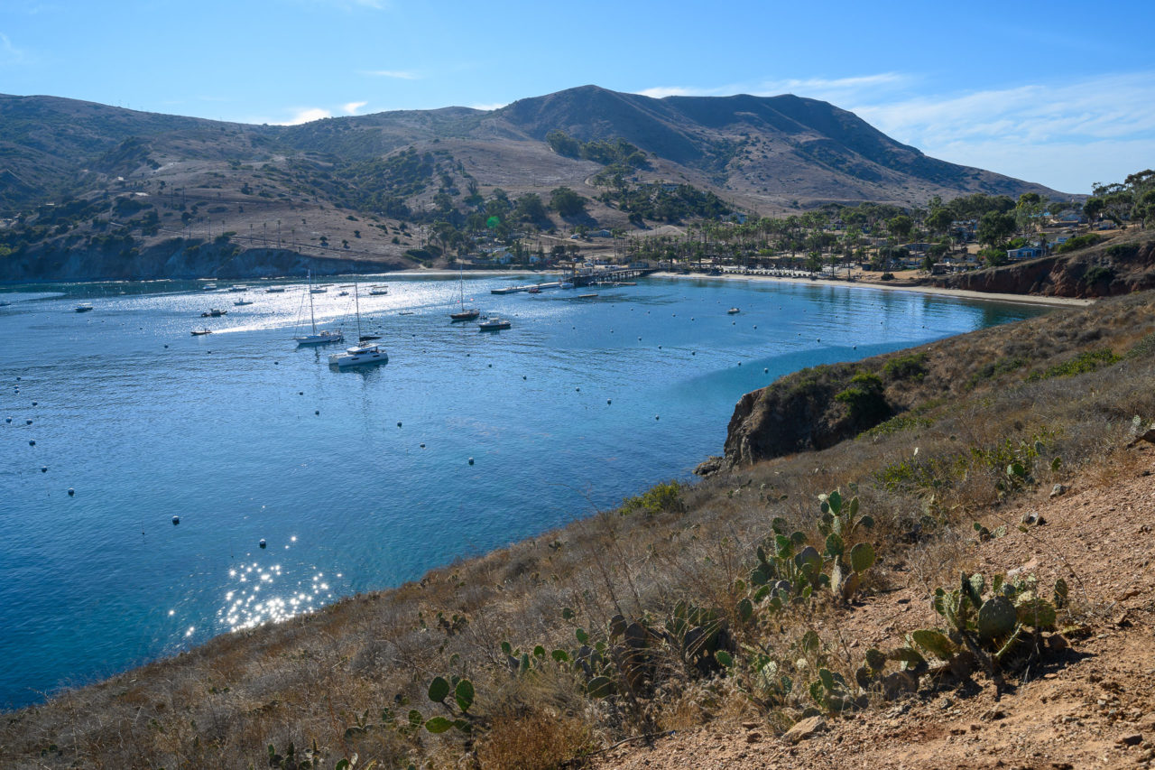
14.7 Miles, 4650 Gain
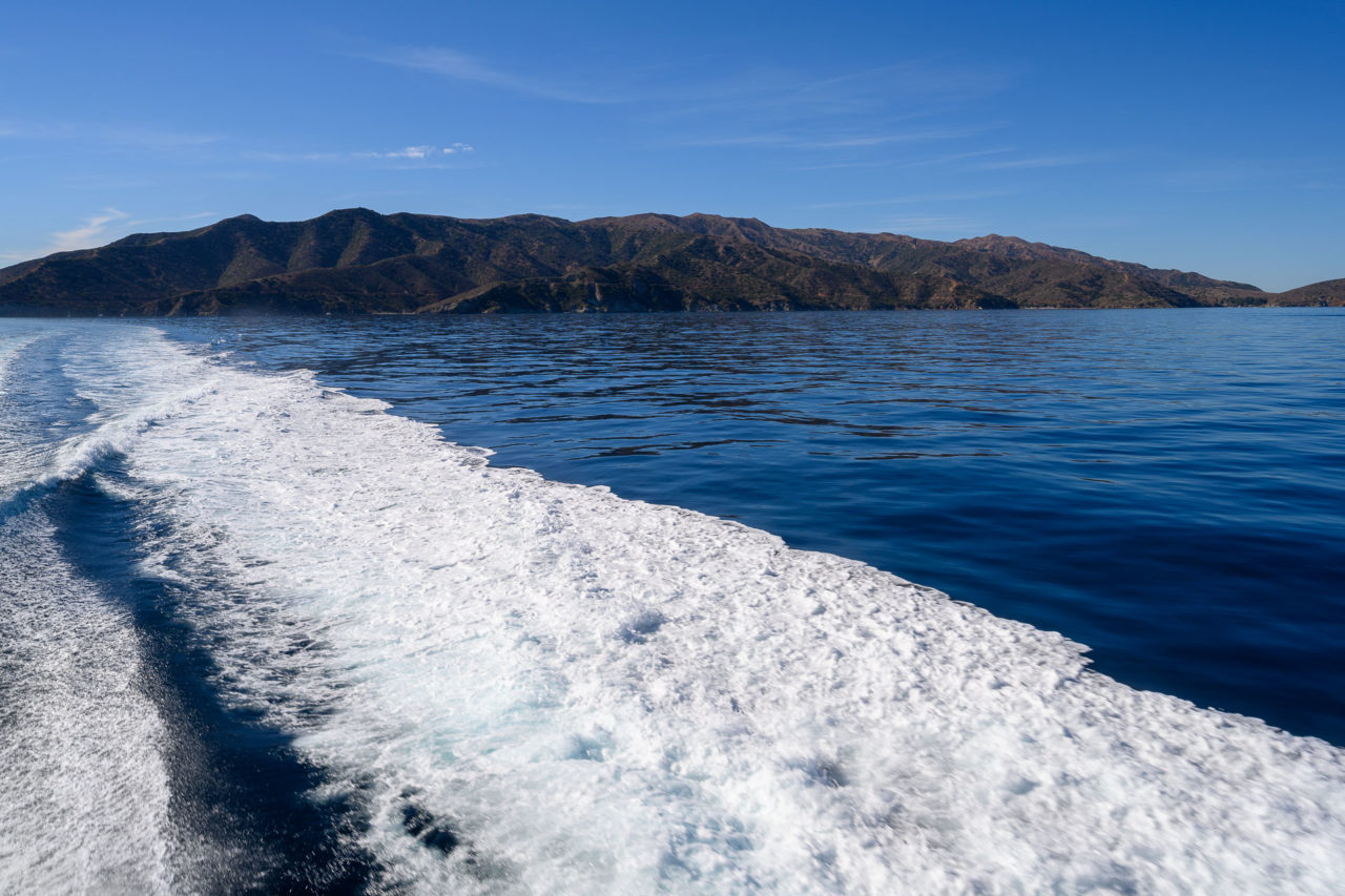
I had been to Catalina Island a few times over the years, but had never explored the area north of Two Harbors. My family was planning a weekend in Avalon, so with a little bit of additional coordination, I made plans to extend the trip by taking a two day backpacking trip around the north end of the island. My dad was interested in going also, so on Sunday morning as the rest of the family was getting ready to return to San Pedro, we boarded the Cyclone, which took us from Avalon to Two Harbors. We didn’t arrive at Two Harbors until 11AM, and with the short days this time of year, we were planning on some headlamp time to make it to our eventual destination at Parsons Landing Campground.
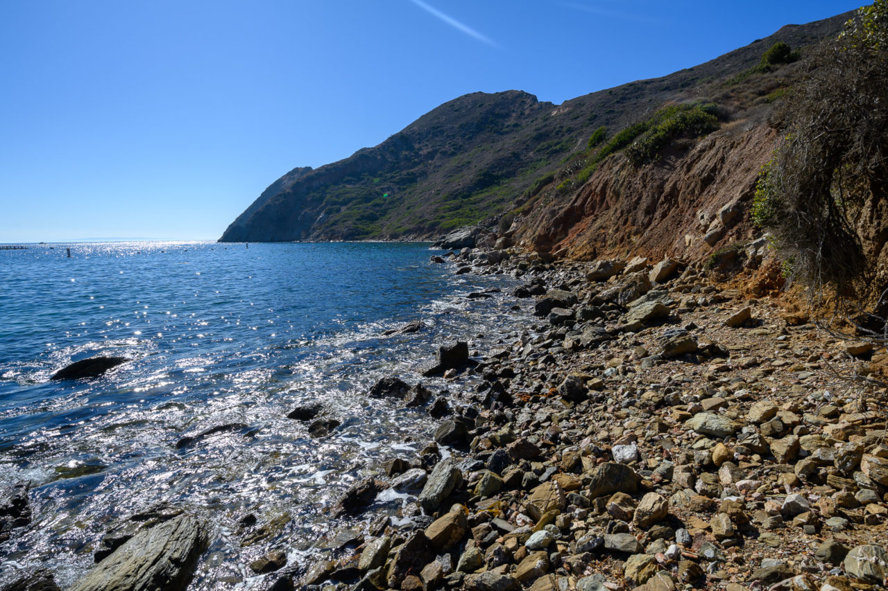
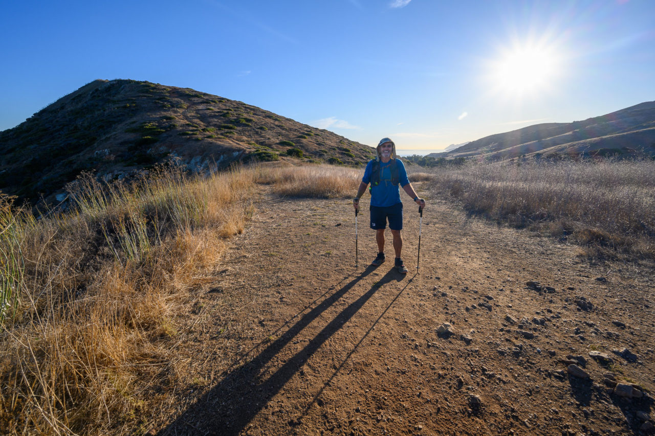
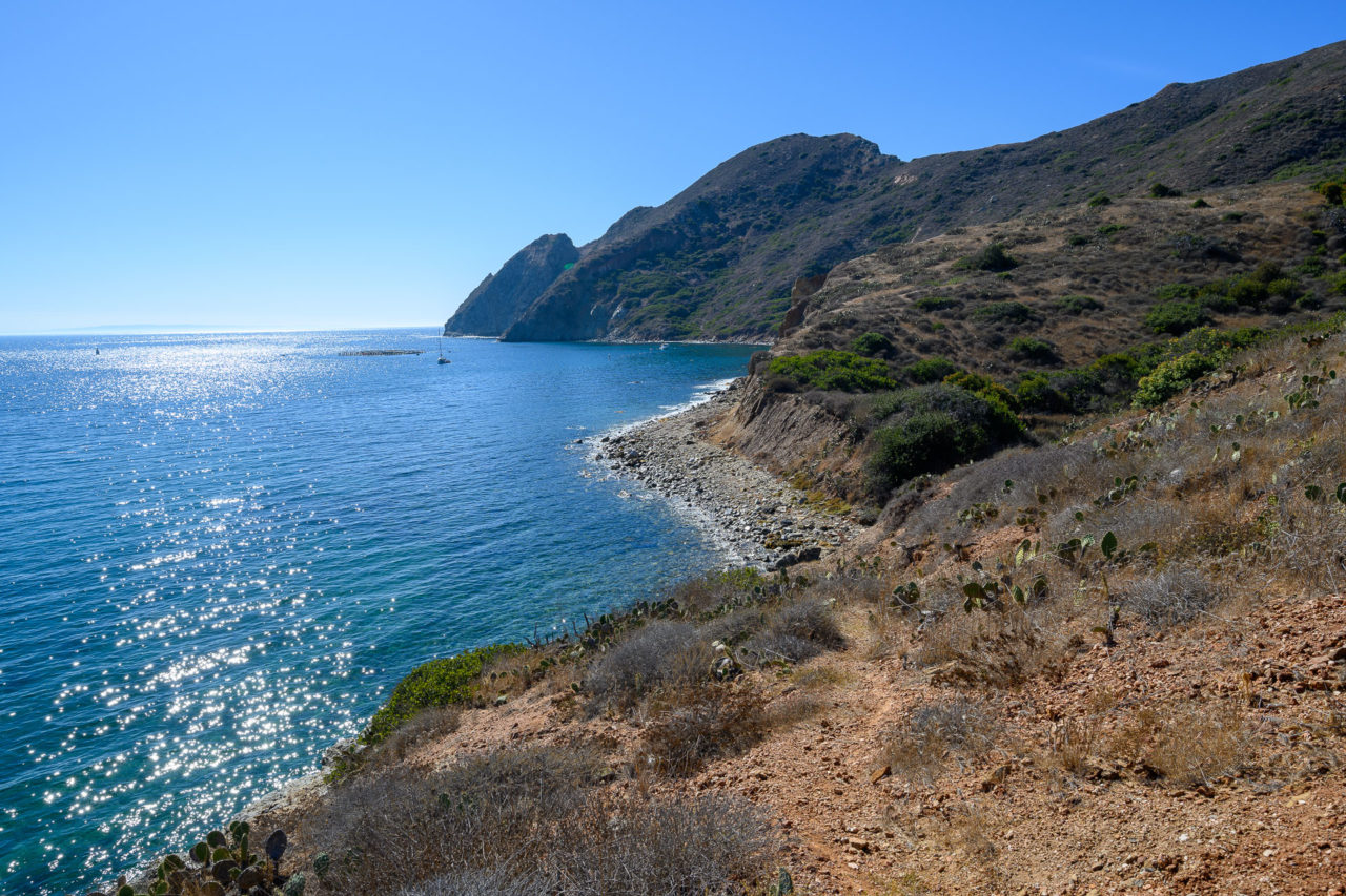
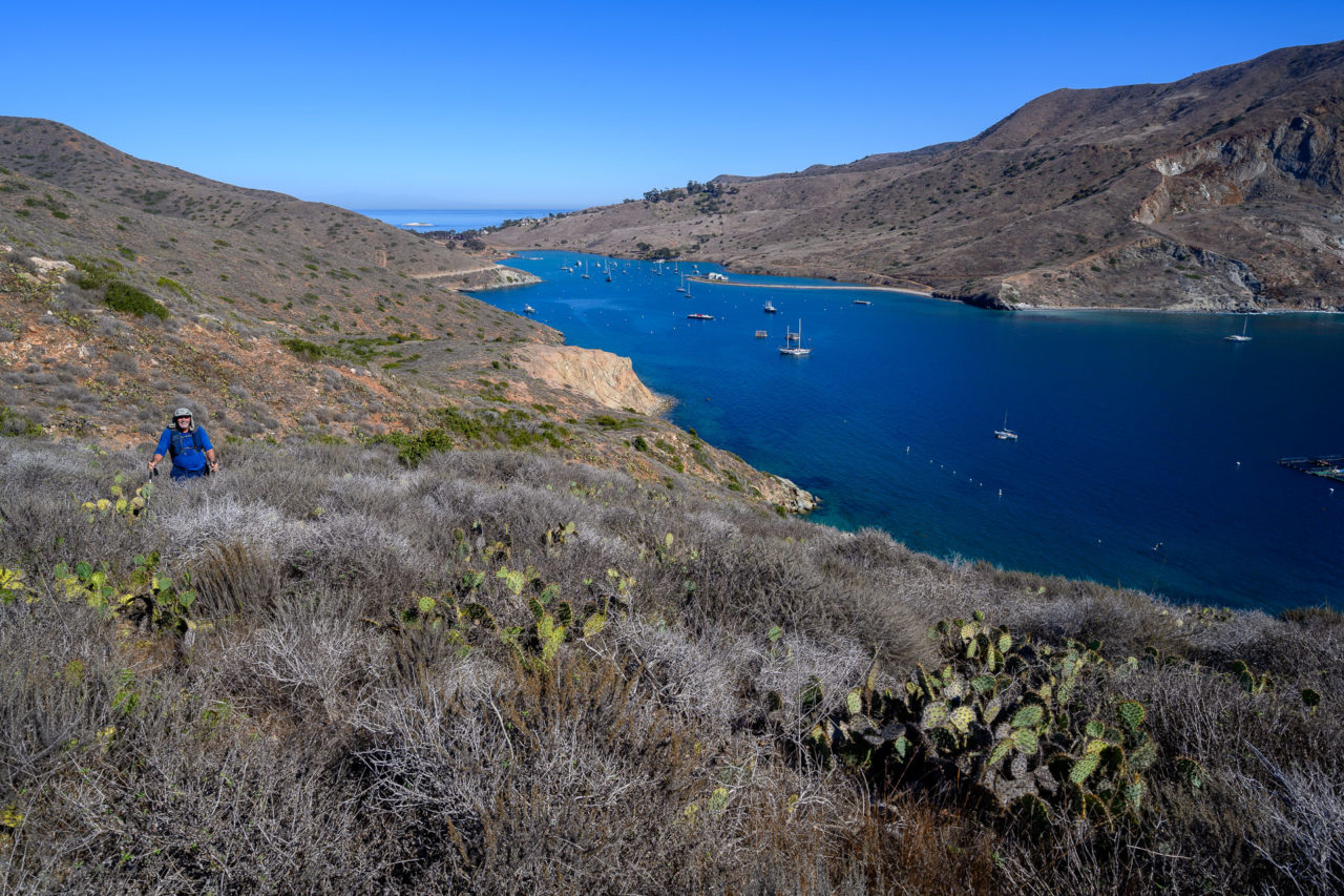
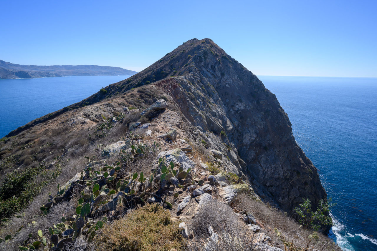
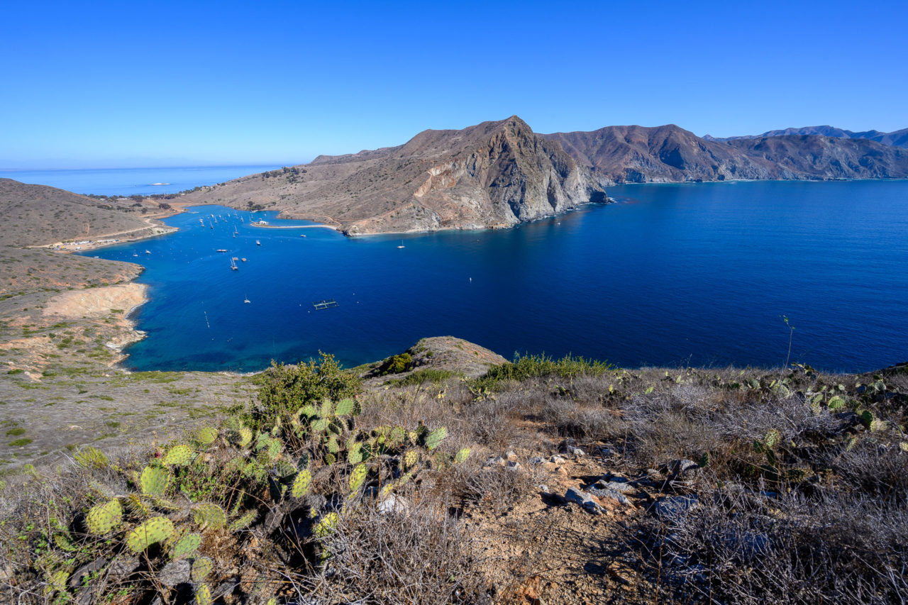
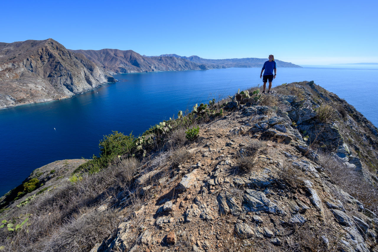
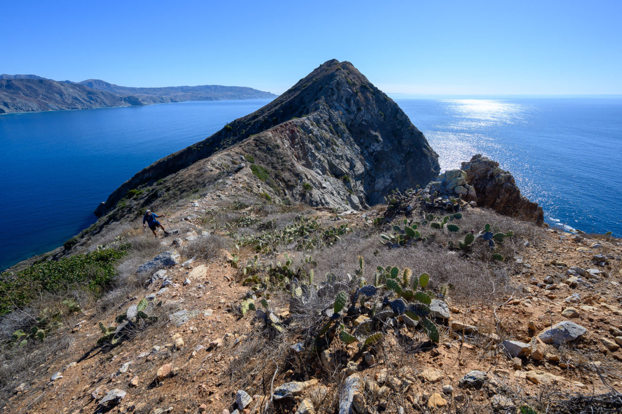
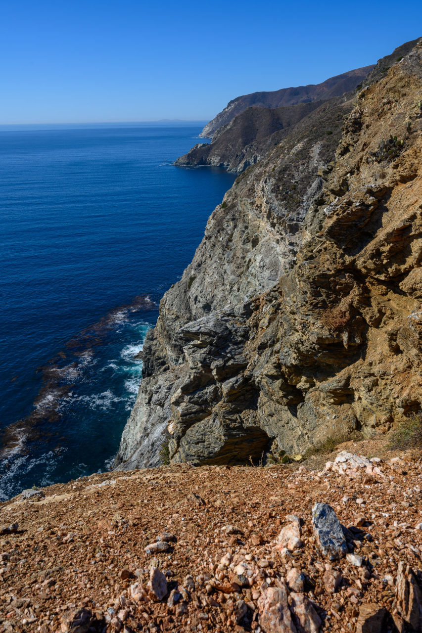
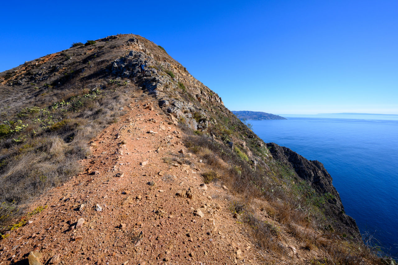
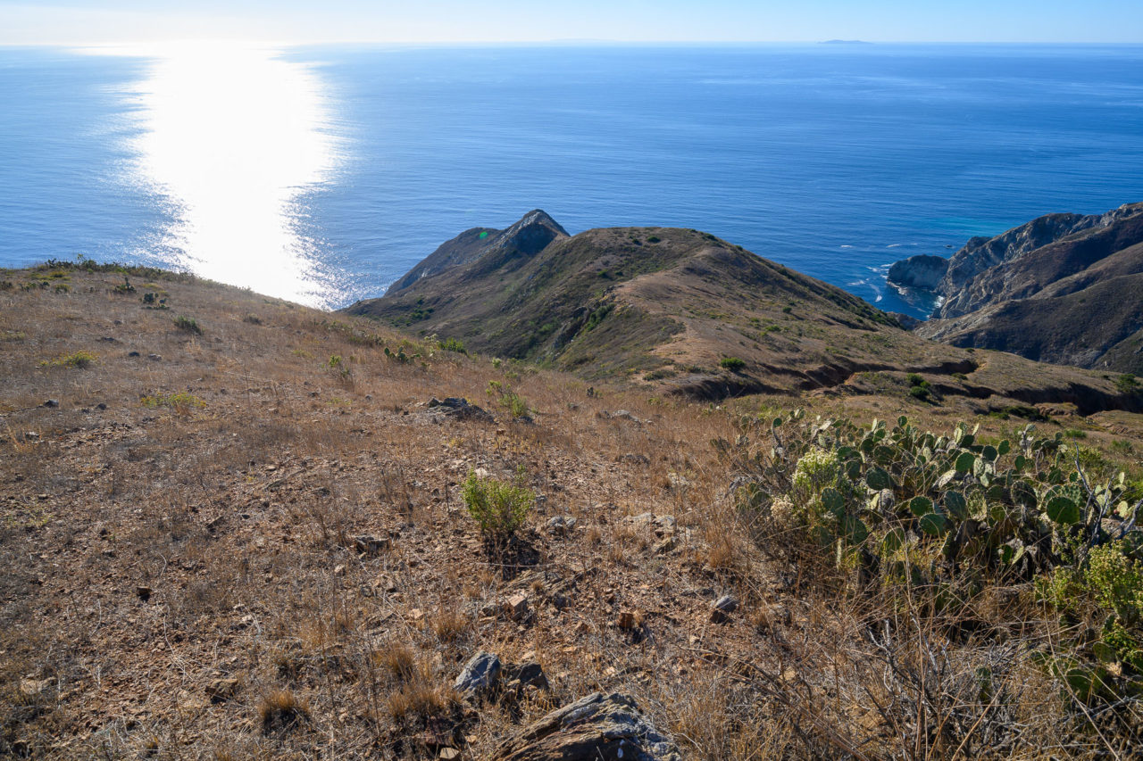
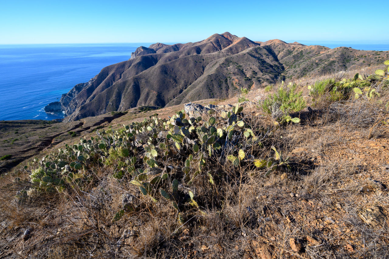
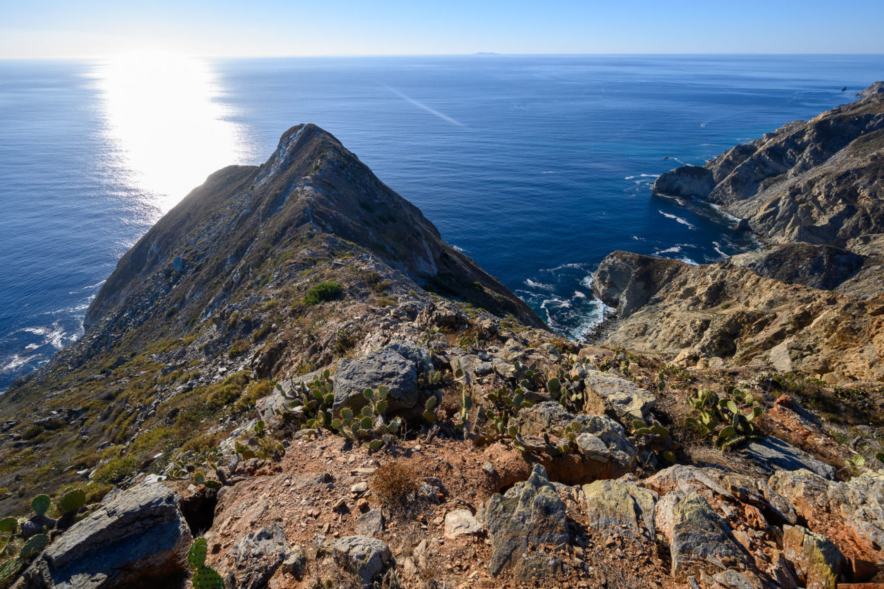
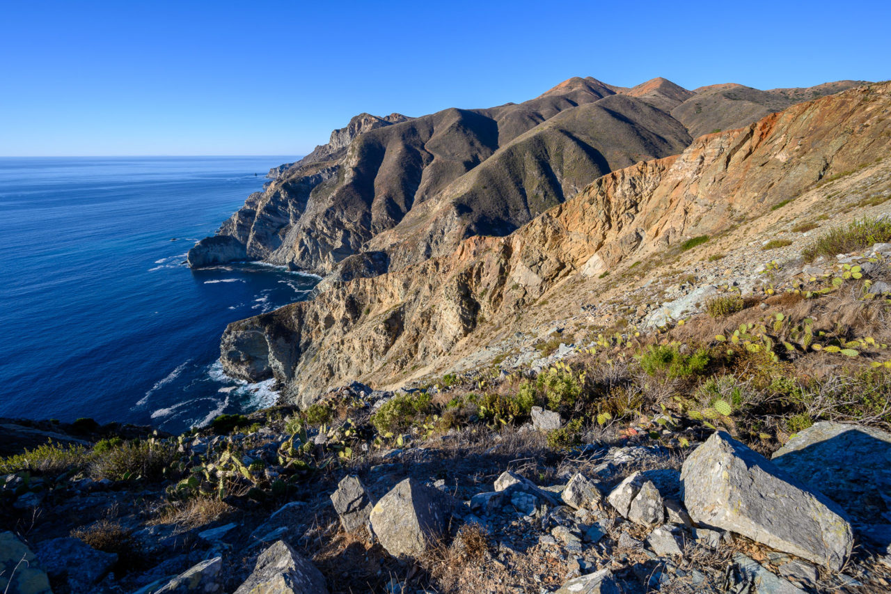
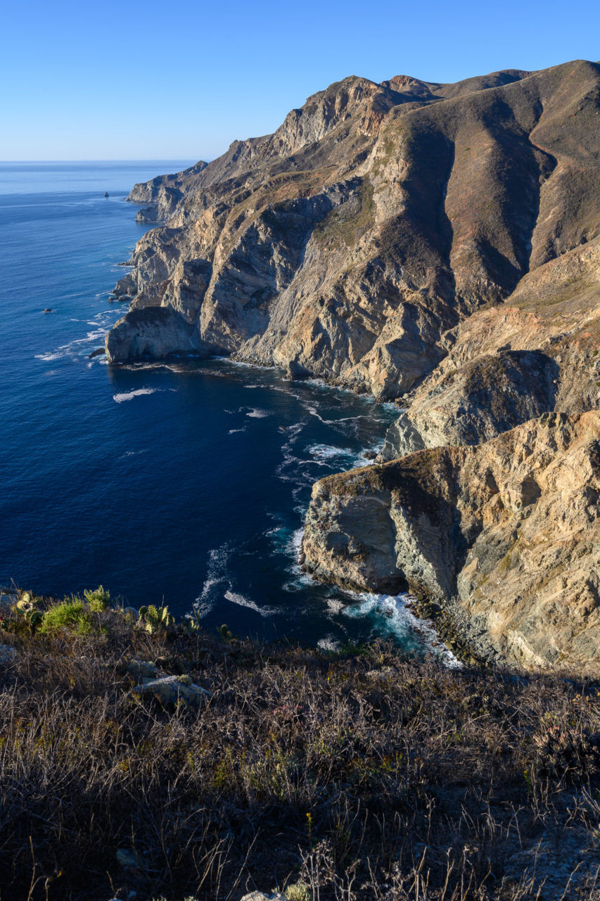
Our route would travel clockwise around the north end of the island, climbing a few named points and peaks along the way. The first of these was Catalina Head. After getting off the boat, it was a short walk across the isthmus to reach Catalina Harbor. We left the road and followed the rocky shoreline for a roughly a half mile. When that cliffed out we cut up the hillside through bushy terrain, encountering plenty of cactus along the way. The bush thinned by the time we reached the ridge, leaving a steep rocky slope up to the summit of Catalina Head. The view up the rugged coastline from the summit was quite impressive. After taking a break on top we made our way back to the saddle, then started up the ridge toward Mount Torquemada.
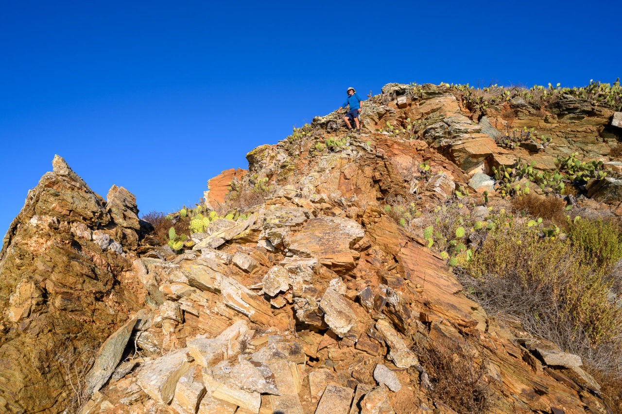
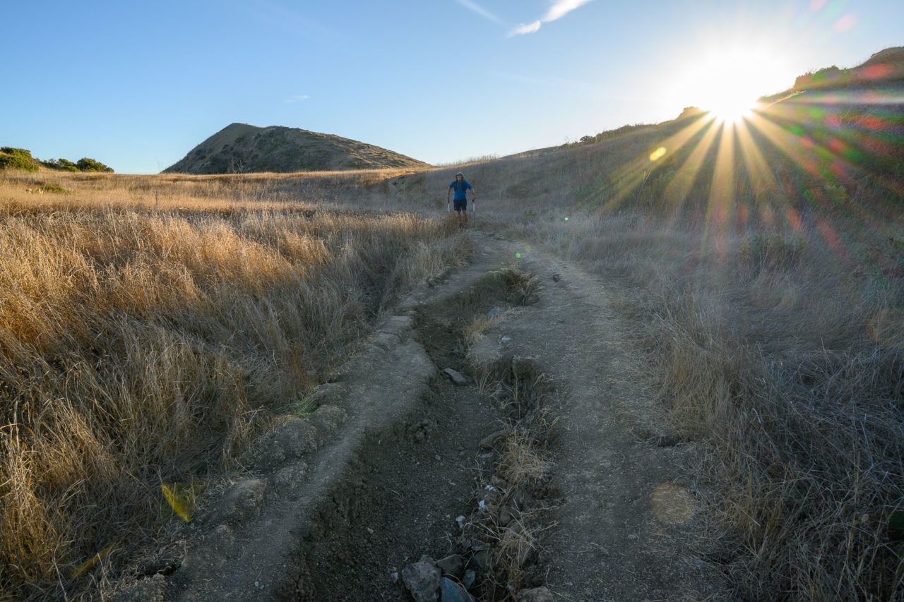
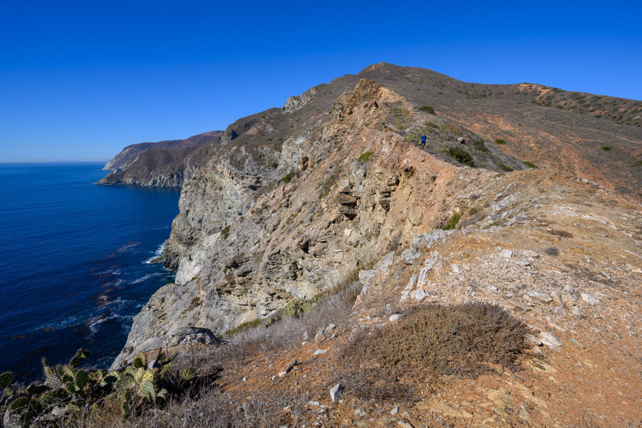
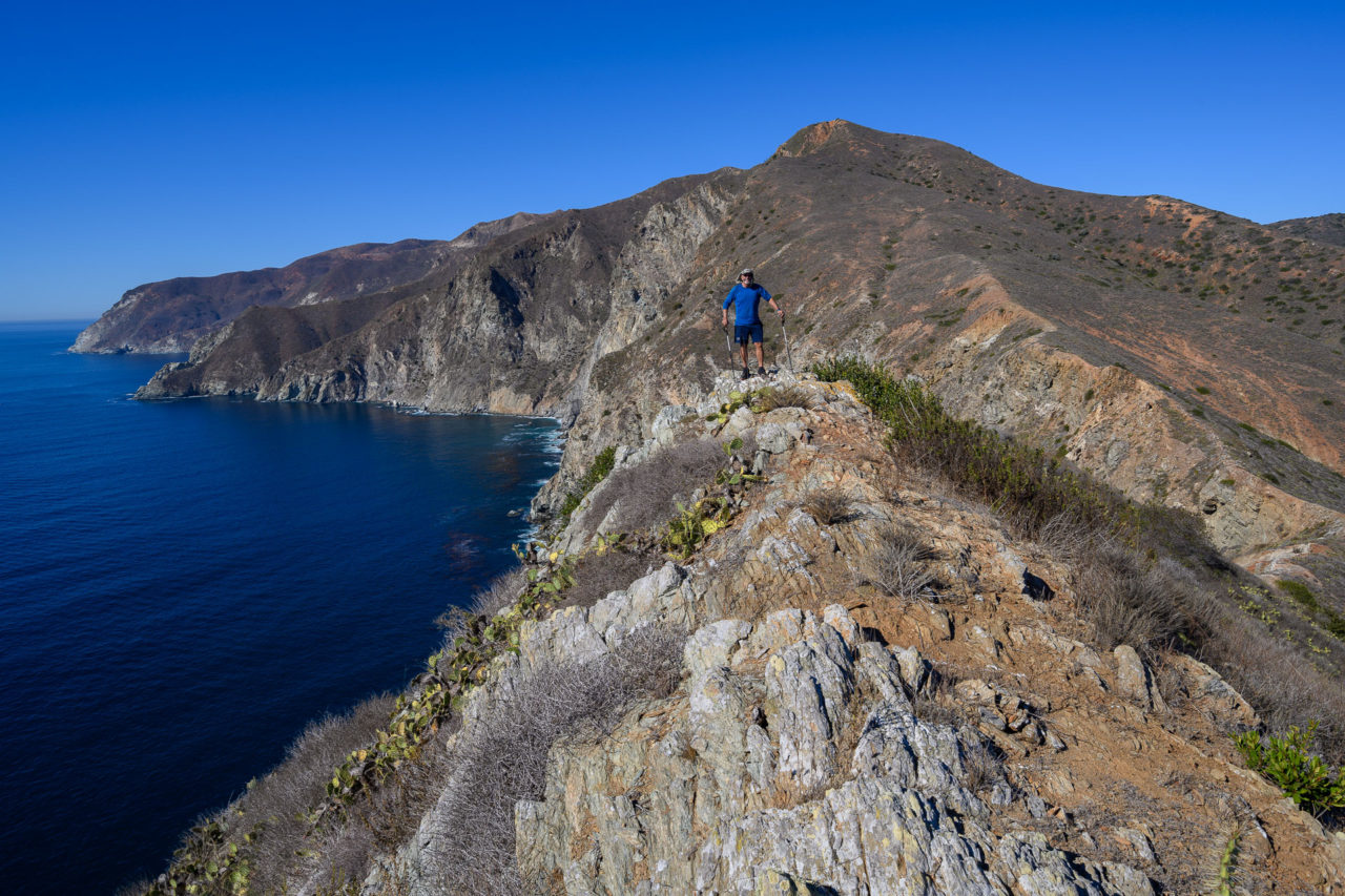
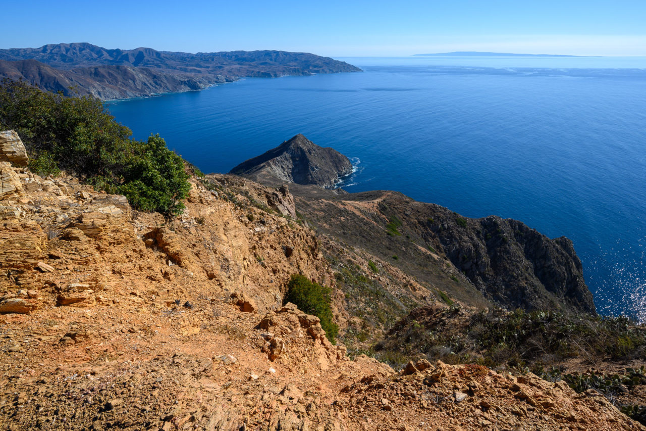
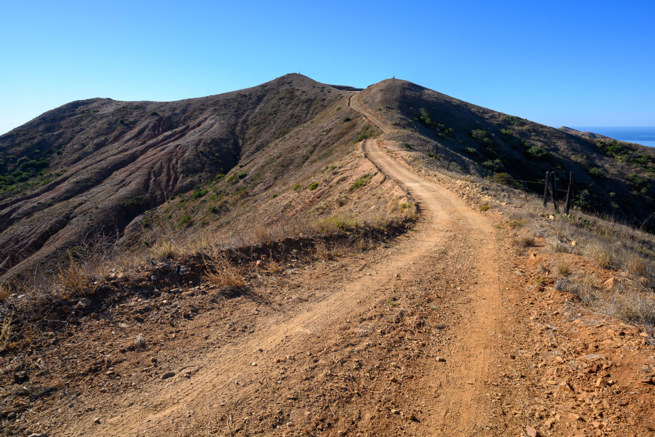
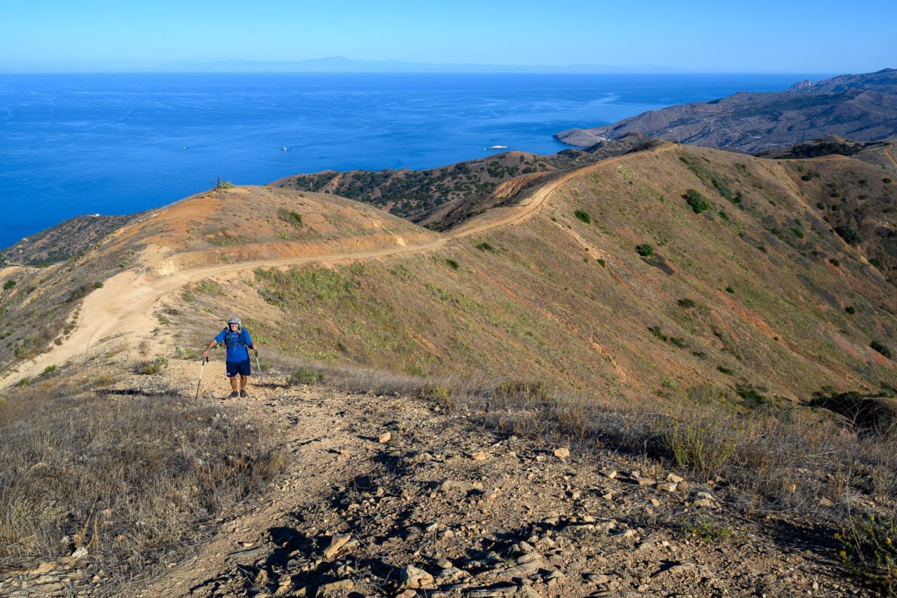
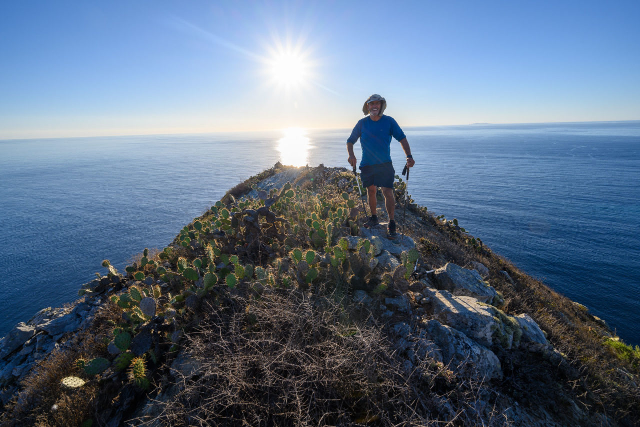
After roughly 1000ft of climbing up the cactus lined slope we arrived at the summit of Mount Torquemada. After enjoying the view up and down the coastline we continued on the ridge for another mile before rejoining the main fire road that runs across the island. The road took us past Oak Benchmark, Granite Peak, and Peak 1776, all of which were located a short distance off the road. We left the road shortly after Peak 1776 to do an out-and-back to Ribbon Rock. As we descended the ridge, grassy slopes gave way to more and more cactus. Near the end, a series of steep deteriorating rock ledges filled with cactus blocked easy access. Carefully, we made our way down through the cactus, spotting an indigenous Island Gray Fox living on the slope. We eventually reached the highpoint of Ribbon Rock without stumbling on any cactus, finding a benchmark near the top. We took a snack break there, watching as several fishing boats made their way up the coast.
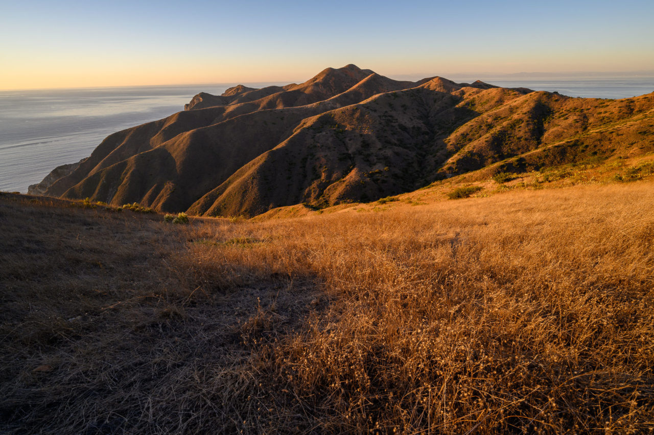
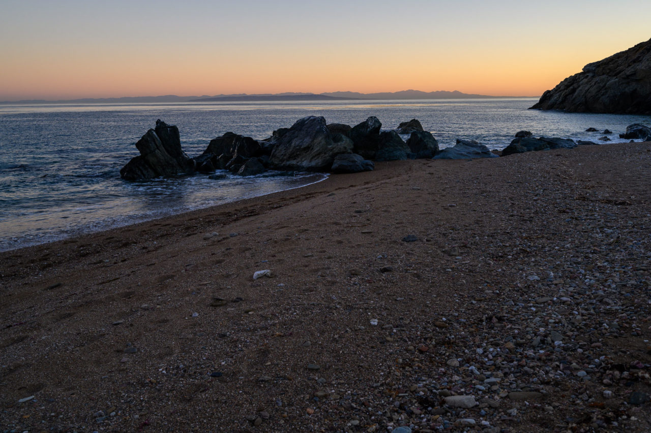
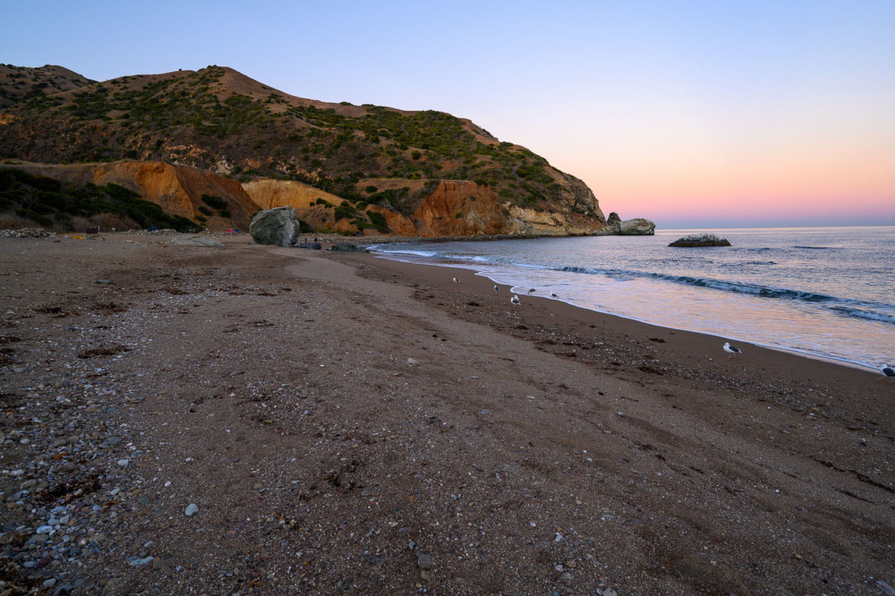
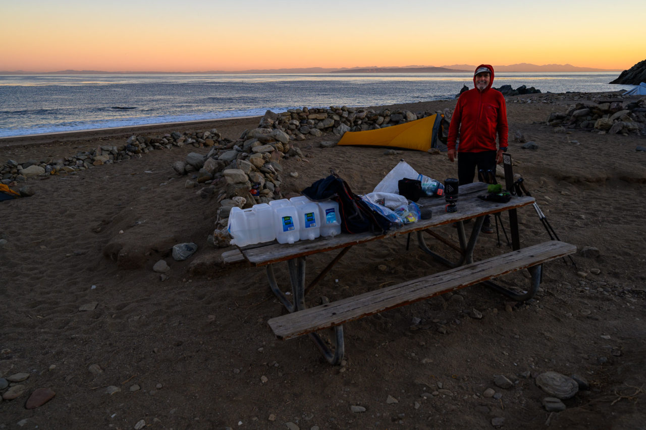
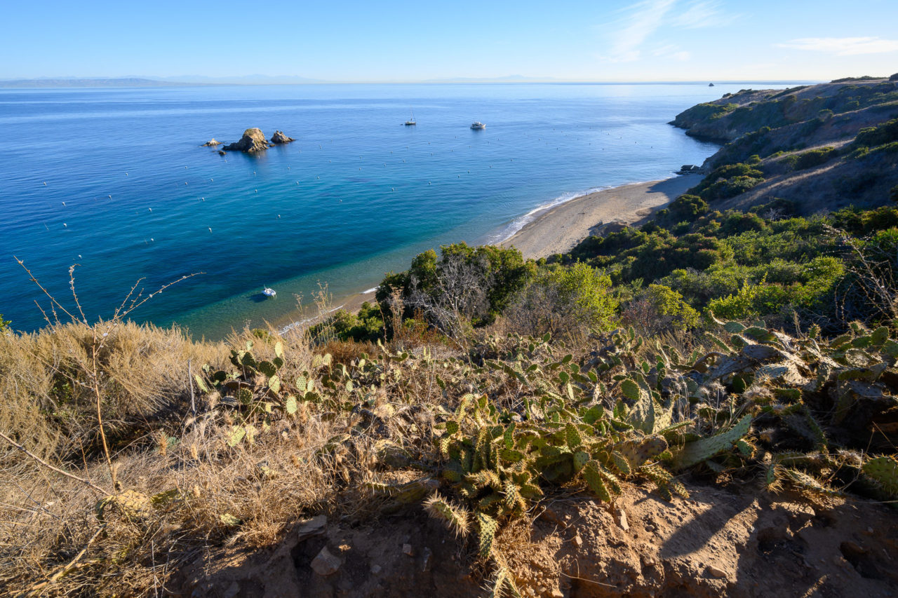
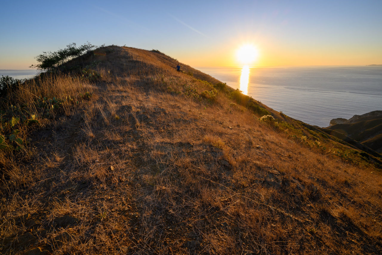
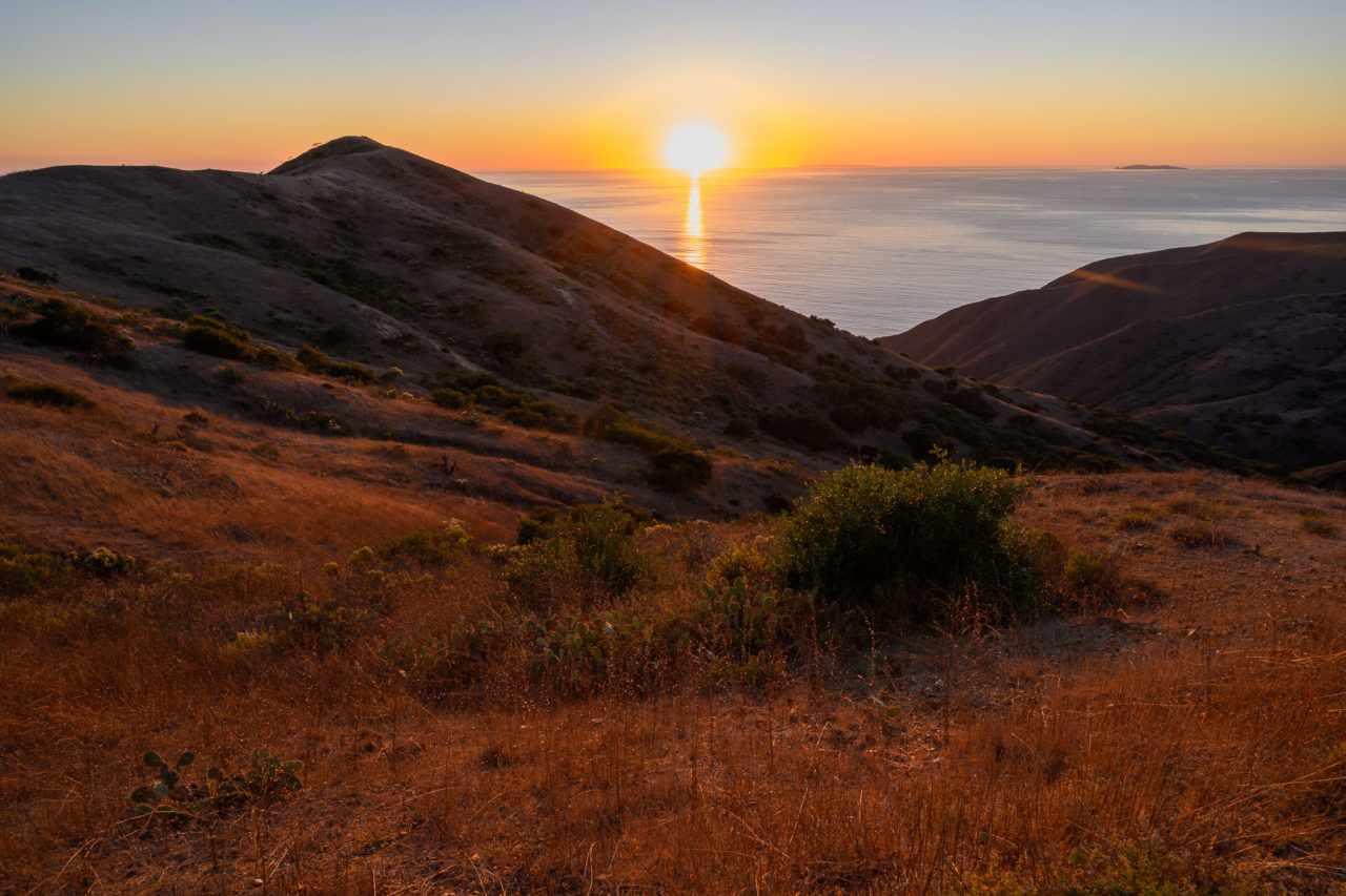
The sun was just starting to set by the time we made it back to the fire road. We put on headlamps, managing to reach Silver Peak just as it was starting to get dark. From the summit we could see lights from San Clemente and Santa Barbara Island starting to turn on. The lights of the greater LA area were also visible across the channel. We followed the fire road as it dropped steeply towards the north side of the island, nearly stepping on a rattlesnake at one point. As we made our way to Parsons Landing we saw roughly a half-dozen fox on the road. Eventually we arrived at the campground, using the key that we had picked up from the island conservancy to access a locker containing 10 gallons of water. We set up camp on the beach, enjoying the sound of waves crashing a short distance from our tents.



6.7 Miles, 850 Gain
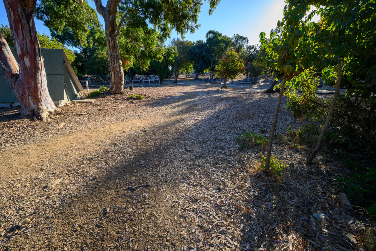
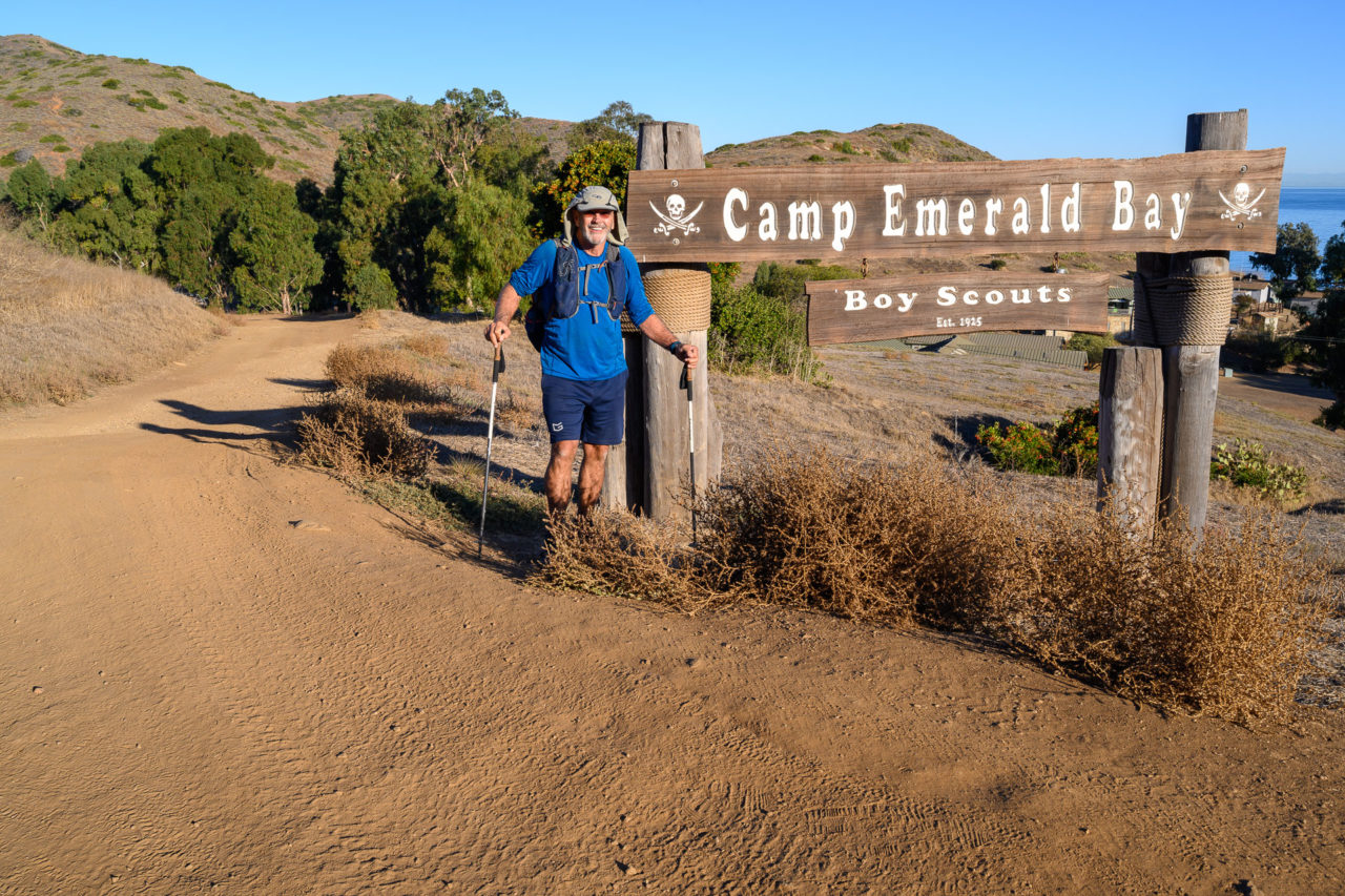
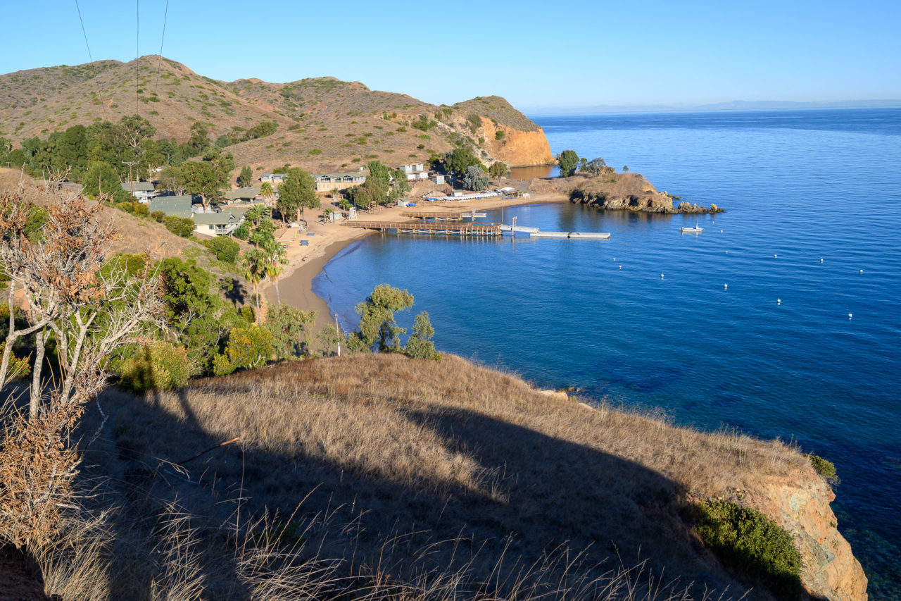
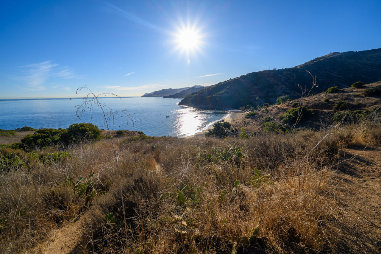
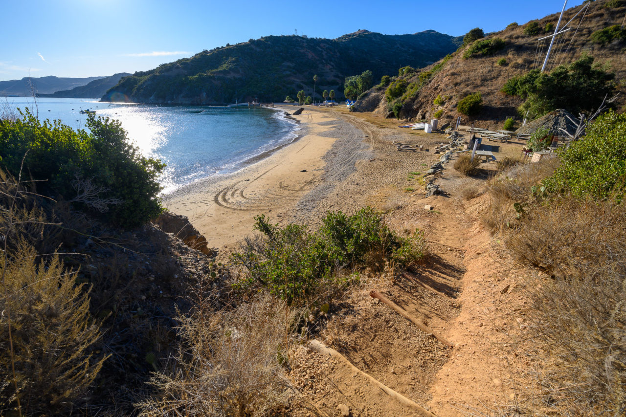
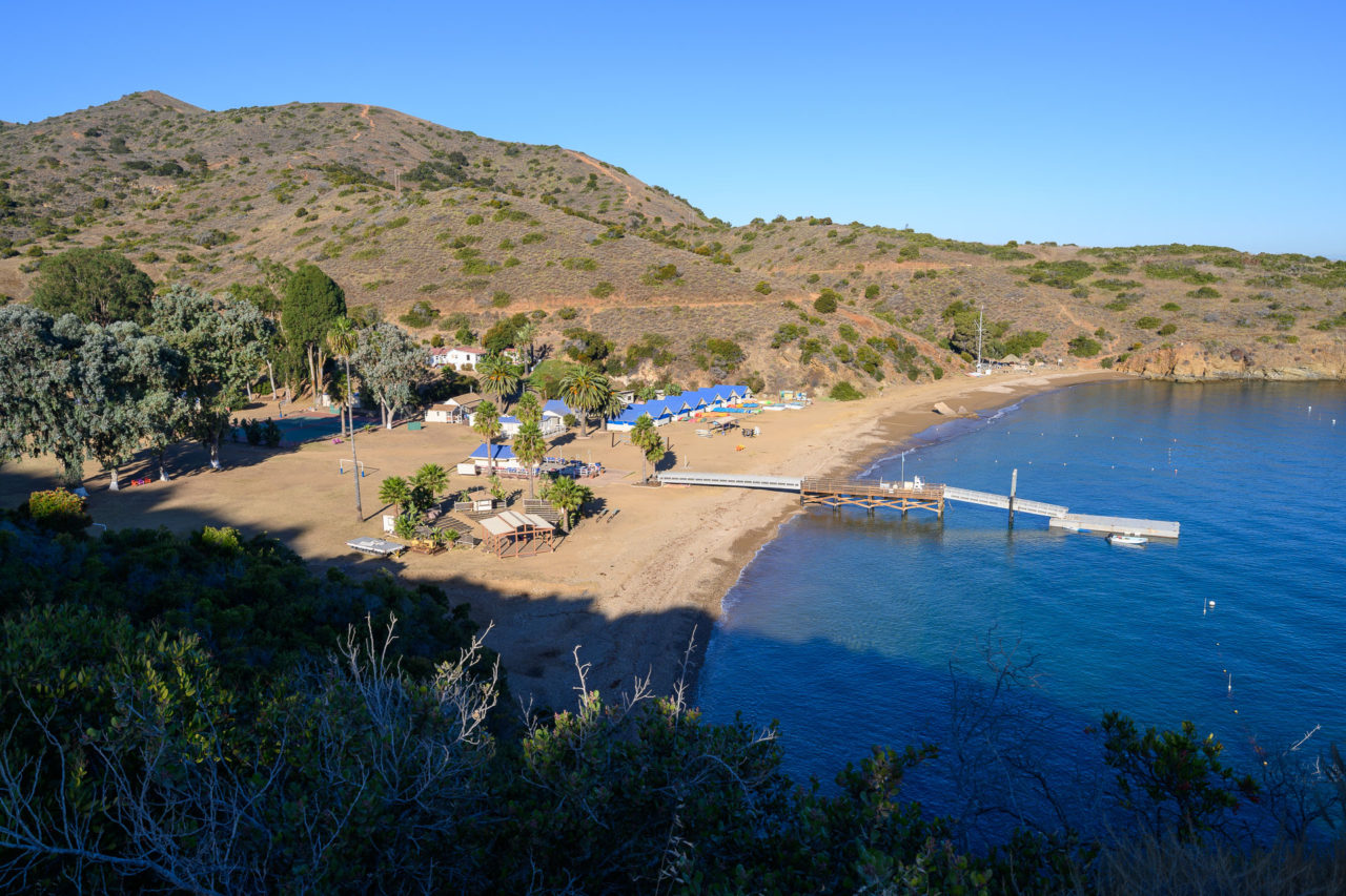
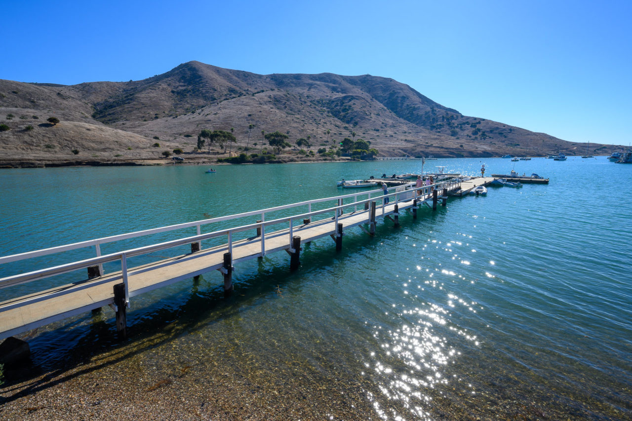
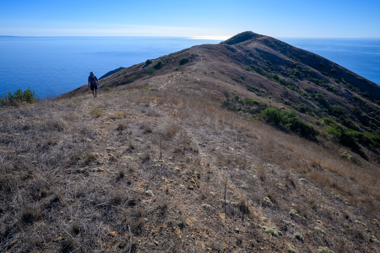
I had a flight to catch later in the evening, but fortunately it was a short hike back to Two Harbors. After we finished packing up we followed the Trans-Catalina Trail for roughly six miles back to Two Harbors. Along the way we passed the BSA camp I had visited many years ago, vacant this time of year. There was enough time to get a meal at the restaurant in Two Harbors before catching the Catalina Express back to San Pedro. I had a short hike planned in the afternoon to San Pedro Hill before flying back to Sacramento.
