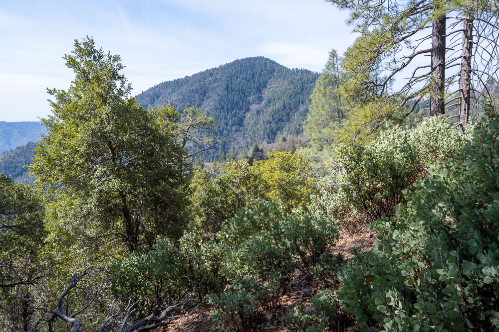
North Gray Rocks (left) and Horse Mountain (right).
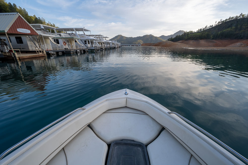
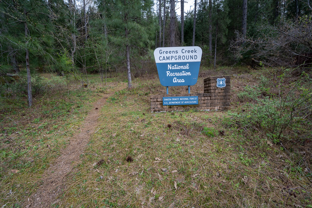
Setting up camp at Greens Creek boat in campground.
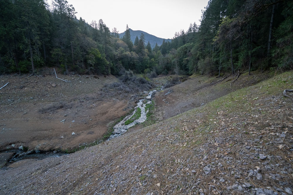
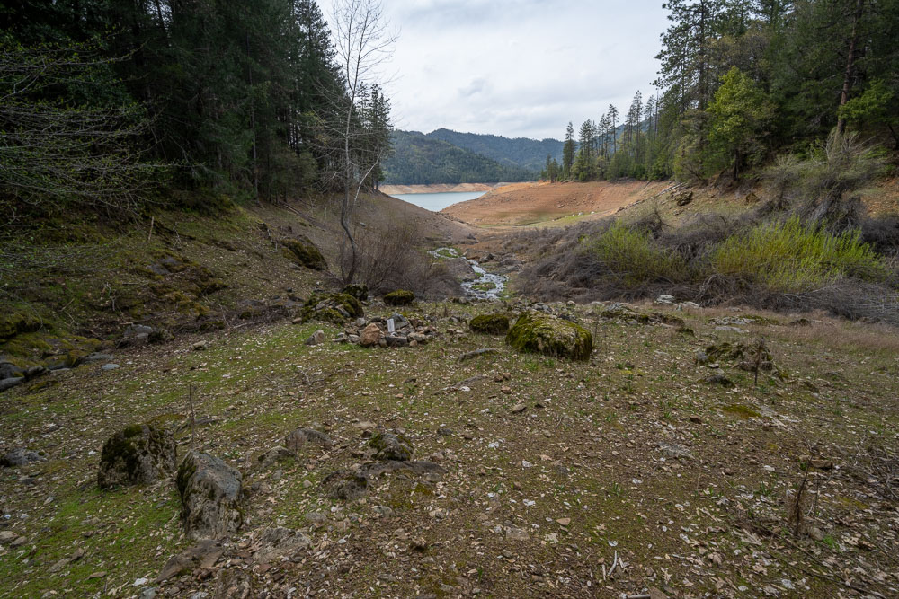
Starting up Greens Creek the next morning.
Finding the trail shown on the FS topo. The first half mile near the lake had some poison oak but after that things opened up nicely.
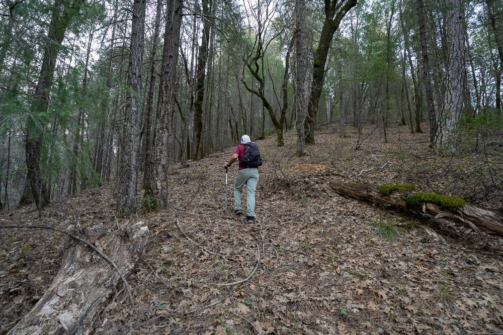
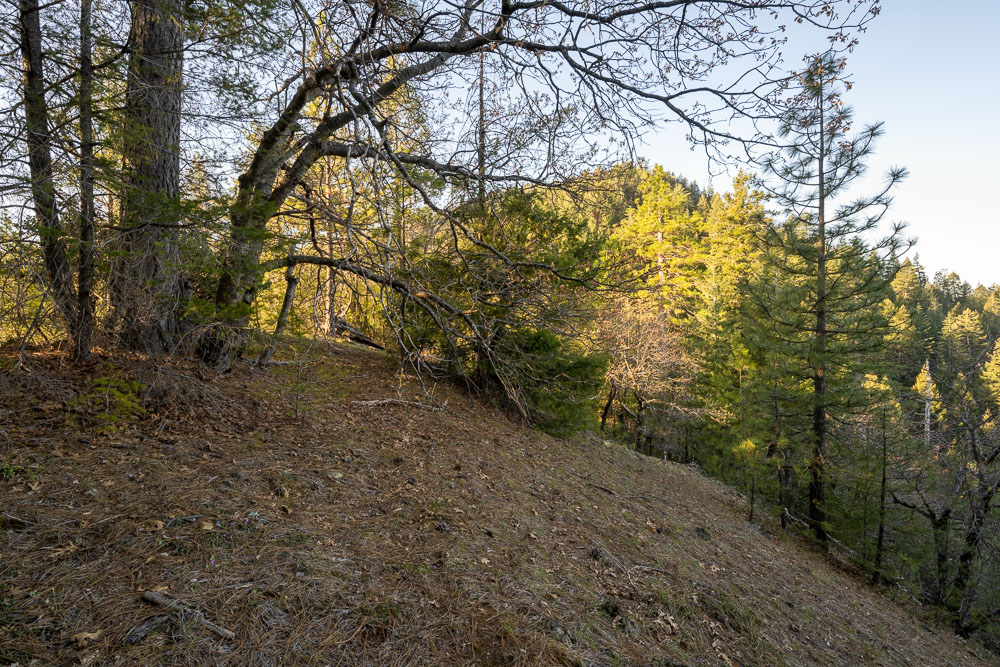
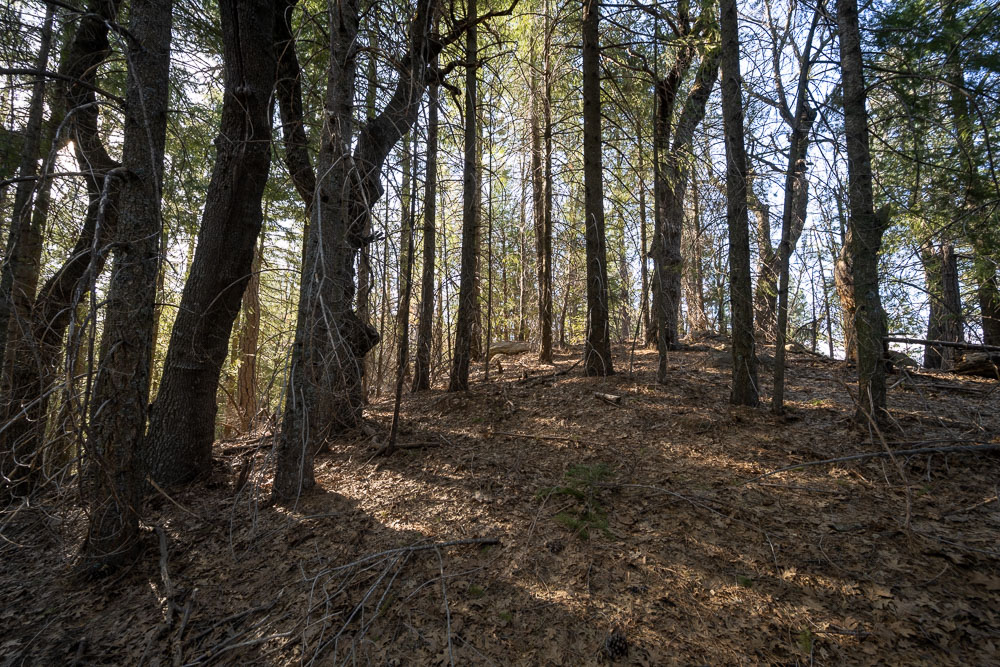
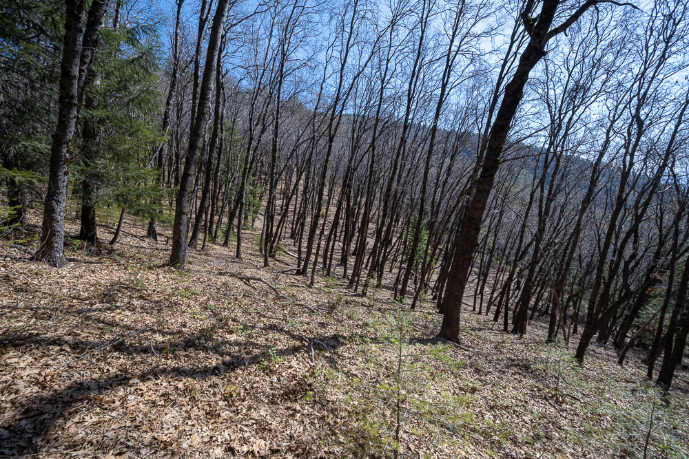
Following the trail up the ridge.
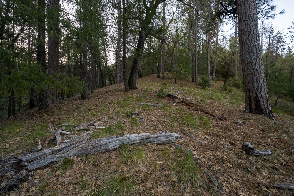
Arriving at the saddle between Horse Mountain and Town Mountain.
Heading for Horse Mountain first.
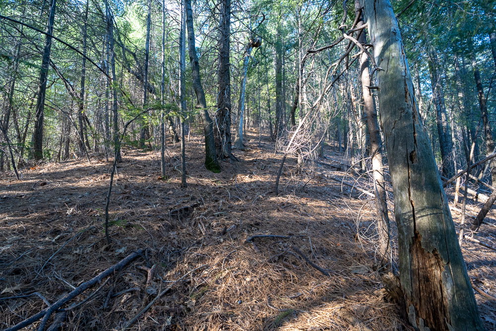
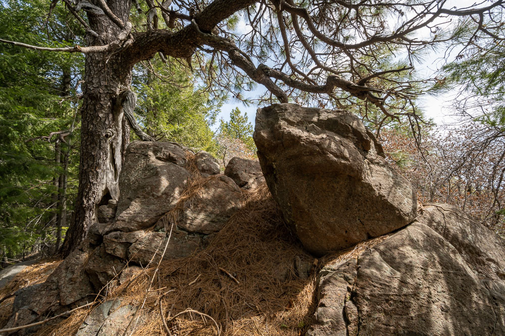
Open forest leading to Horse Mountain.
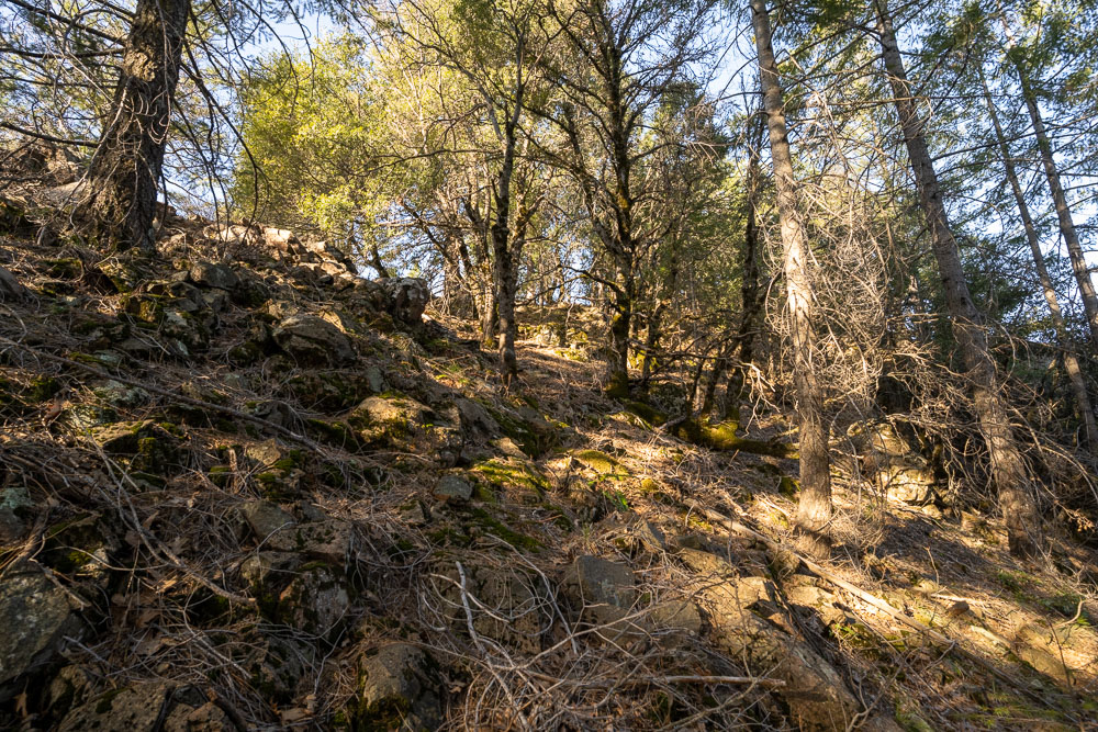
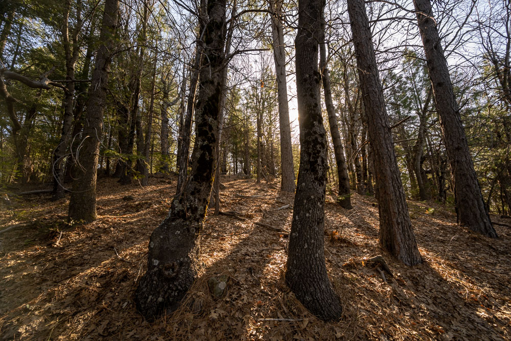
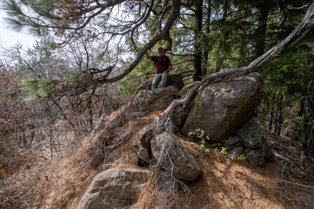
Getting close to the summit.
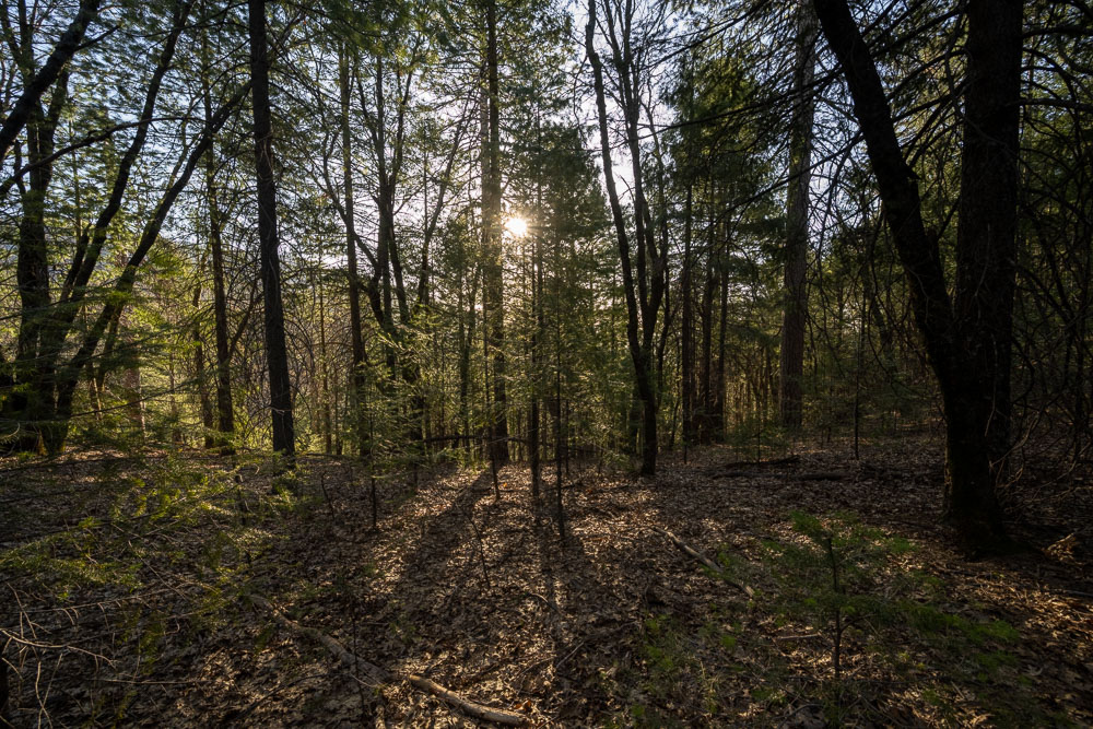
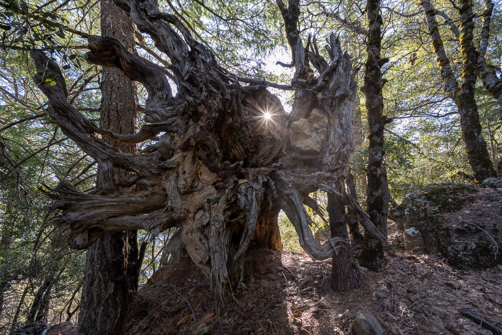
Sun peaking through a large downed tree.
Horse Mountain summit.
Benchmark at the summit.
Another view of the summit.
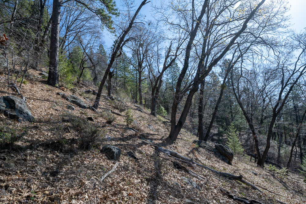
We retraced our route back to the saddle then started toward Town Mountain. From the satellite view it looked like there would be significantly more bush to reach Town. This is near the saddle.
View back to Horse Mountain (left). There was plenty of ankle high poison oak but it was usually pretty easy to avoid.
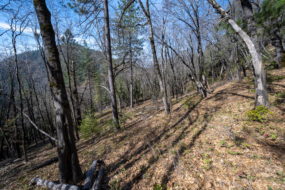
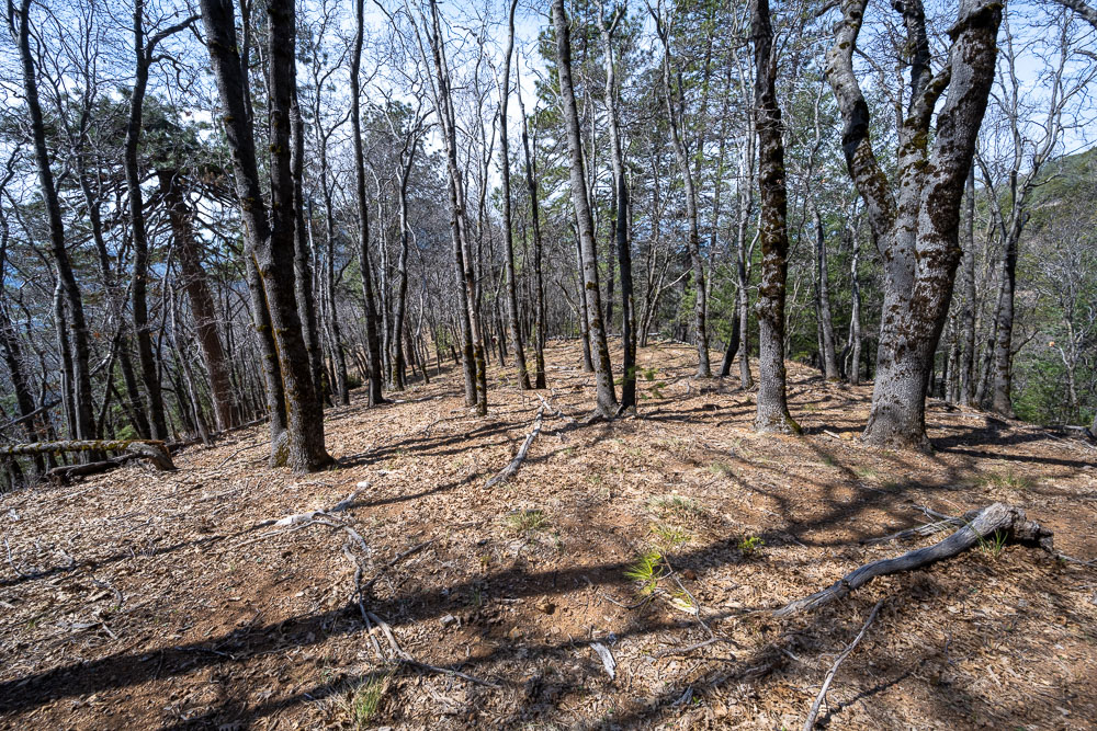
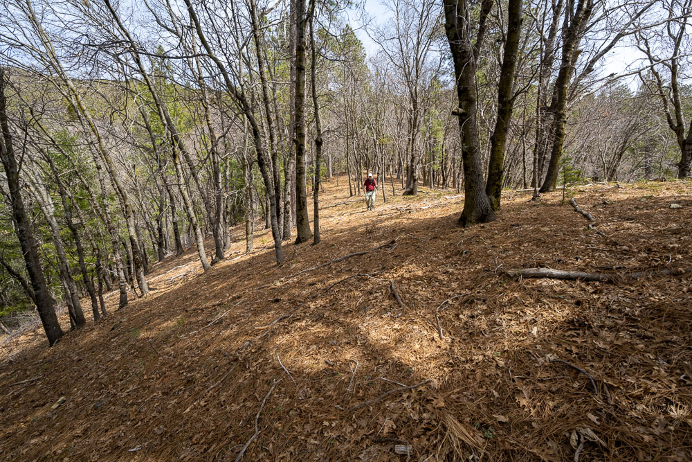
Open forest leading to Town Mountain.
Horse Mountain from a bushy section. On the way back we found a nice game trail down lower on the mountain that avoided the bush.
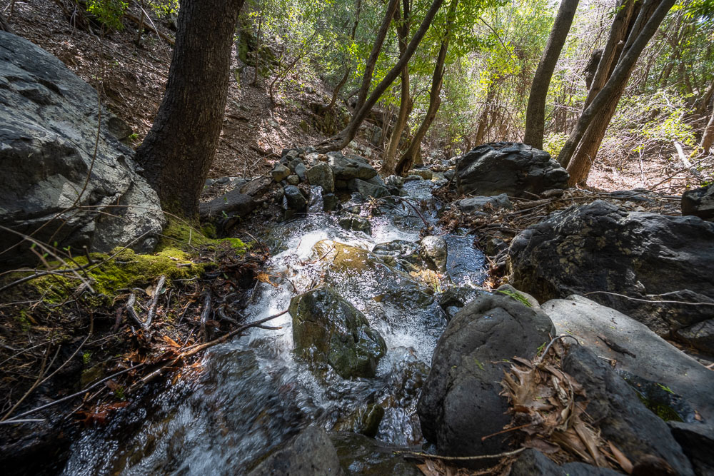
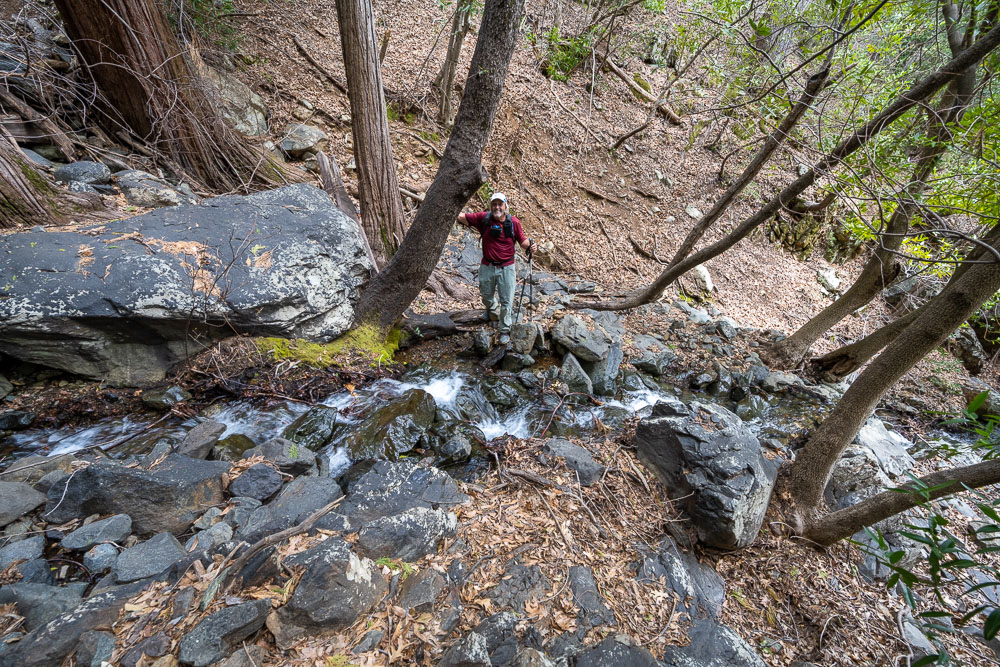
Crossing Azelle Creek.
After climbing a steep hillside on the far side of the creek the forest opened up again.
Summit of Horse Mountain.
Relaxing at the summit.
Retracing our route to the saddle.
Crossing Azelle Creek again. Shortly after crossing the creek we picked up a game trail that avoided the bush we ran into on the way over.
Back to Shasta Lake.
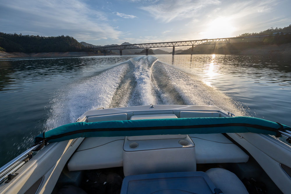
Leaving Greens Creek Campground.
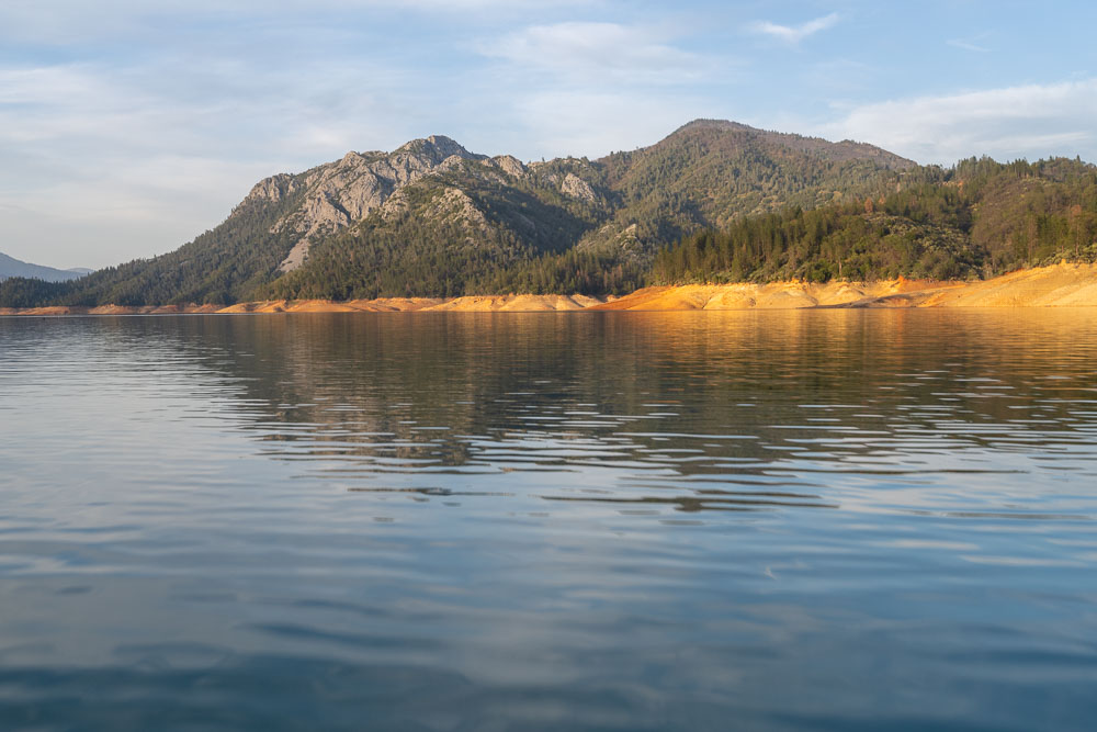
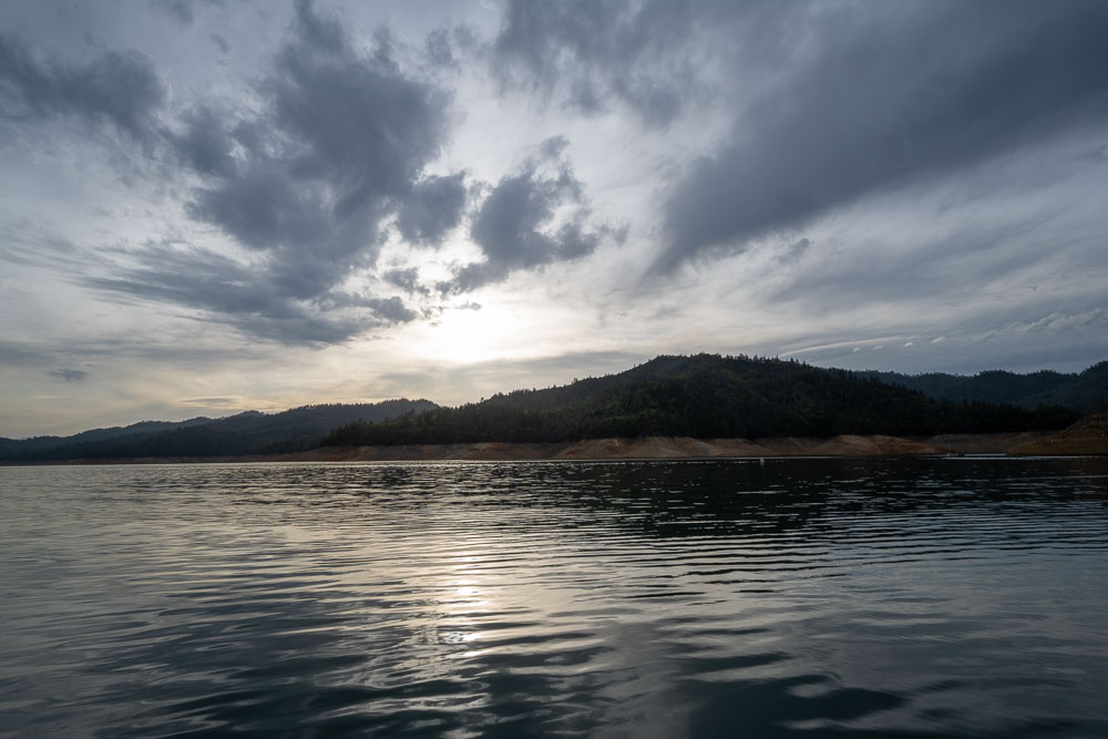
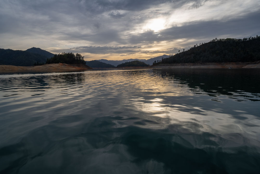
Clouds over Shasta Lake.
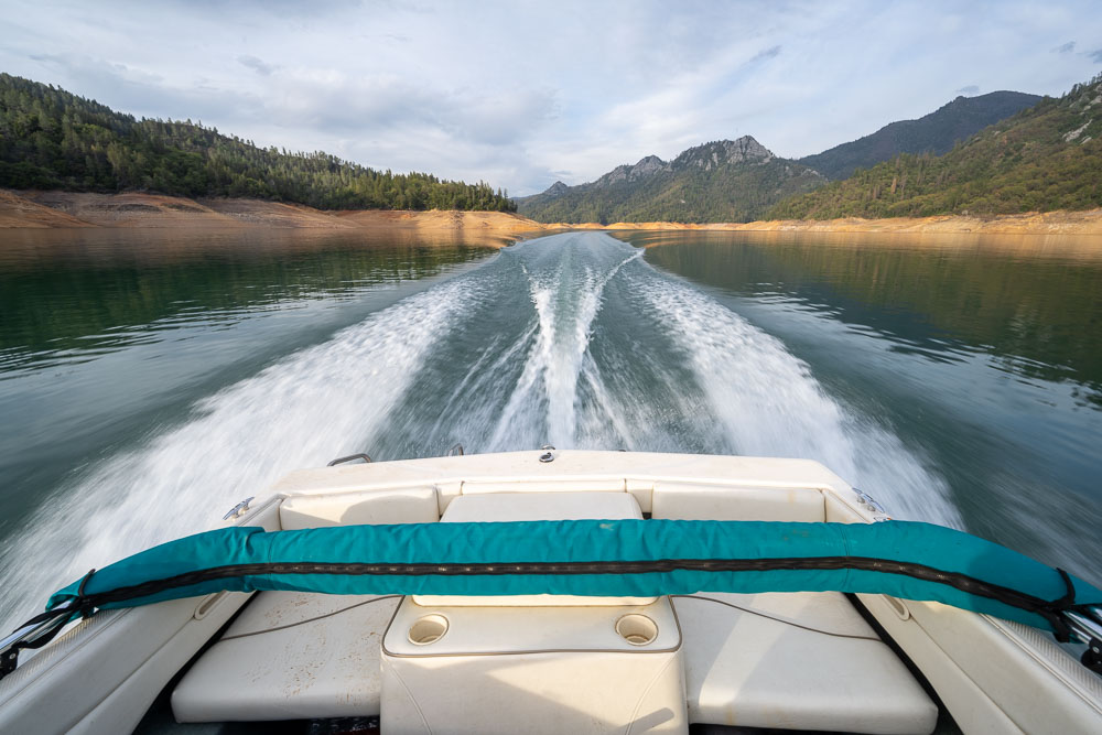
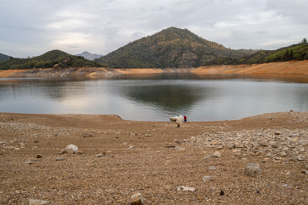
Boating to Gooseneck Cove Campground.
Nice sunset on the way to the campground. The lake was low so there were very few people on the water.
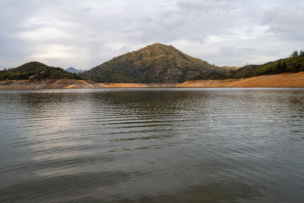
Elmore Mountain, a difficult to reach P1K planned for the next morning.
Elmore Mountain from camp.
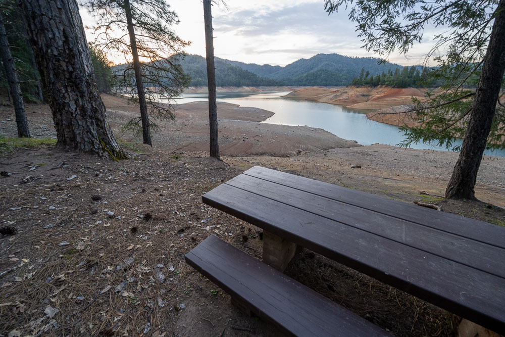
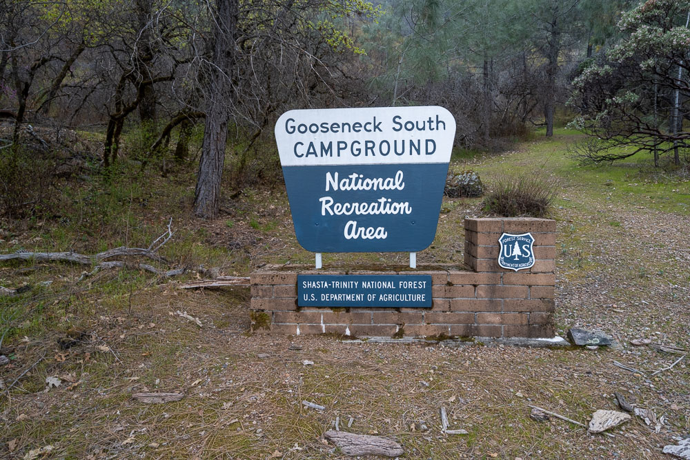
Gooseneck South Campground. Not surprisingly, we were the only ones at the campground.