CK Outside
Toggle Navigation
Trip Index
Map
Lists
Search
Seven Troughs Range
Apr 17, 2021
State:
NV
Distance:
16.1 mi
Gain:
7,600 ft
ROUTE:
Map
,
GPX
,
KML
Peaks:
8
Peak
Elevation
Prominence
Signal Peak
6,256 ft
72 ft
Seven Troughs Mountain
7,473 ft
1,158 ft
Peak 6971
6,971 ft
393 ft
Seven Troughs Range (HP)
7,795 ft
2,986 ft
Peak 7080
7,080 ft
306 ft
Peak 6761
6,761 ft
315 ft
Peak 6295
6,295 ft
505 ft
Peak 5948
5,948 ft
289 ft
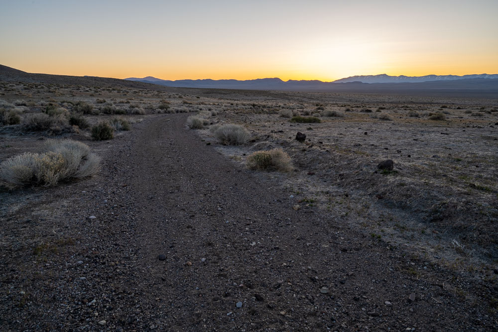
Sunrise from where I car camped.
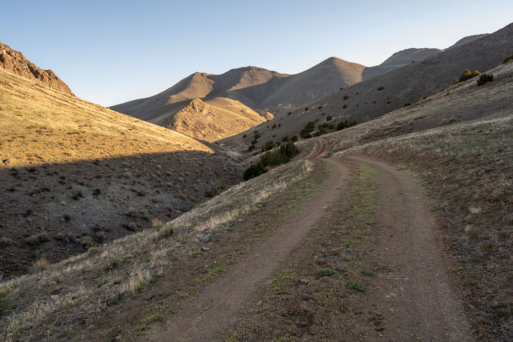
Seven Troughs Range.
Sun coming over the ridge.
Trinity Range in the distance.
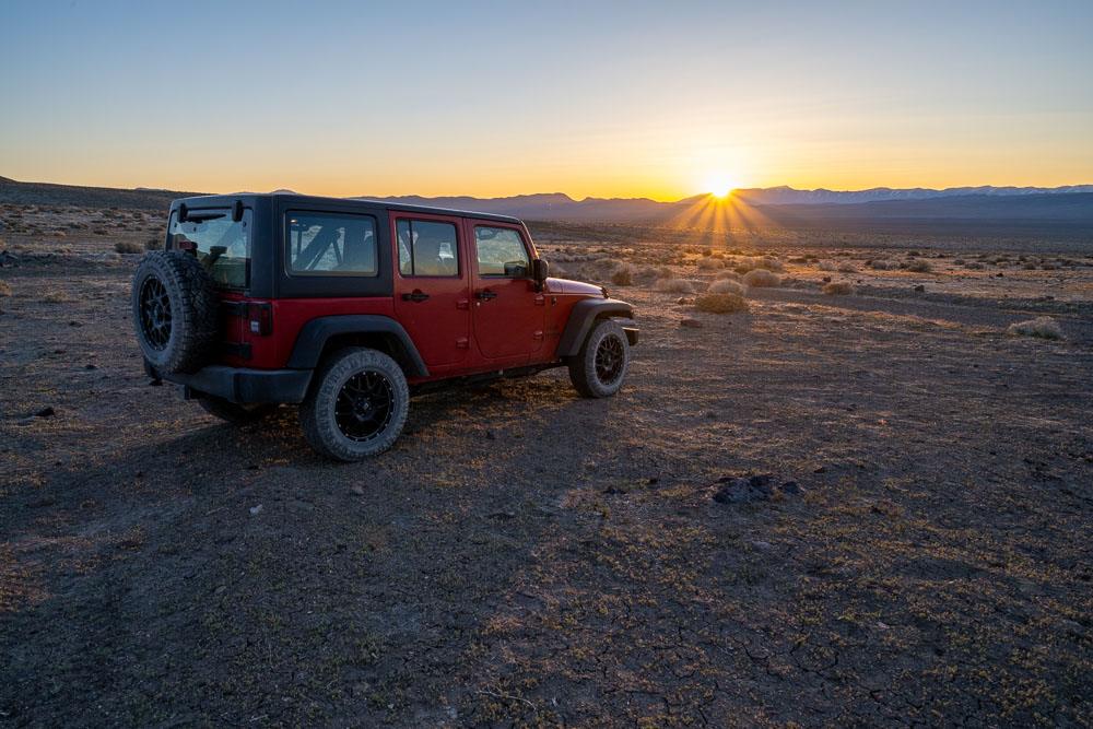
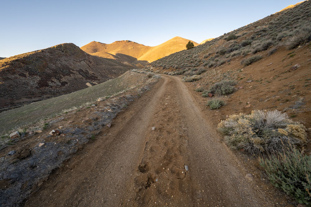
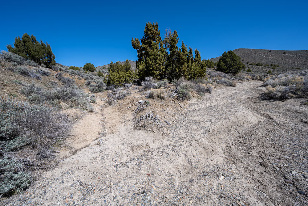
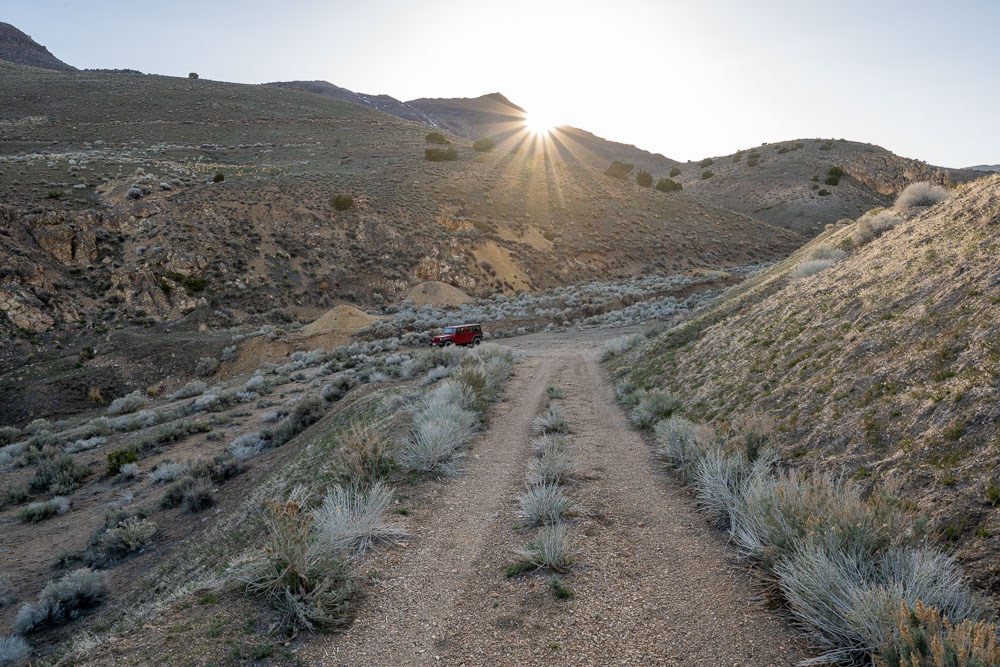
Driving up one of the mining roads to start the hike.
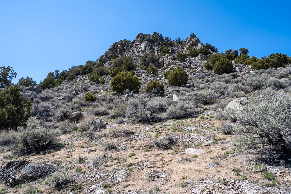
Signal Peak from the starting point.
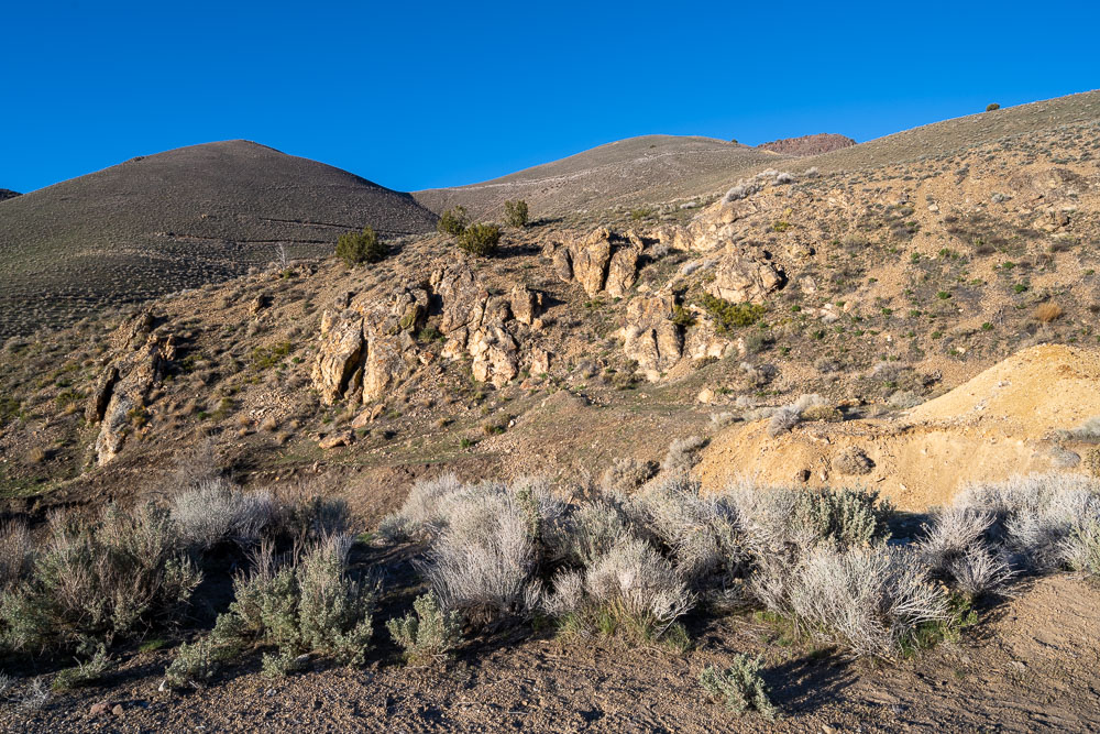
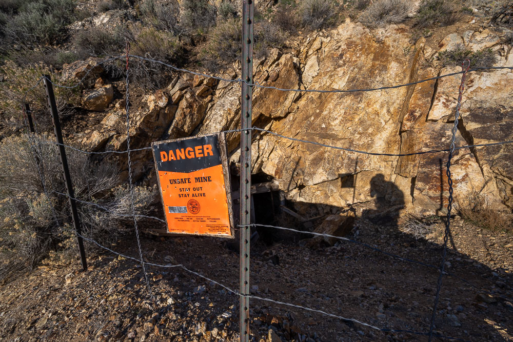
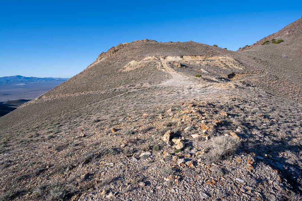
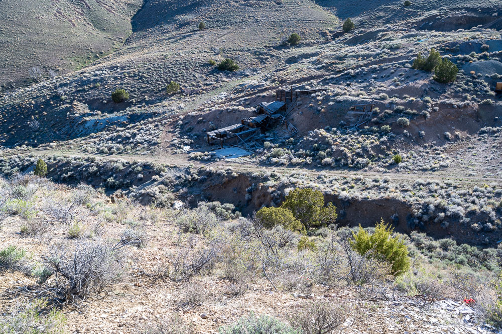
One of many mines in the area.
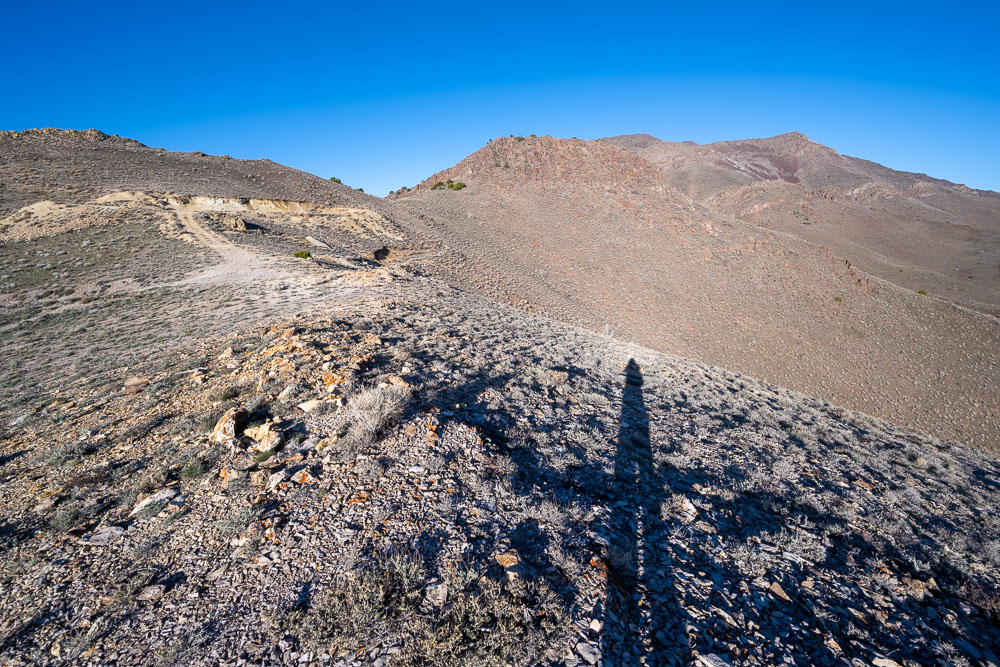
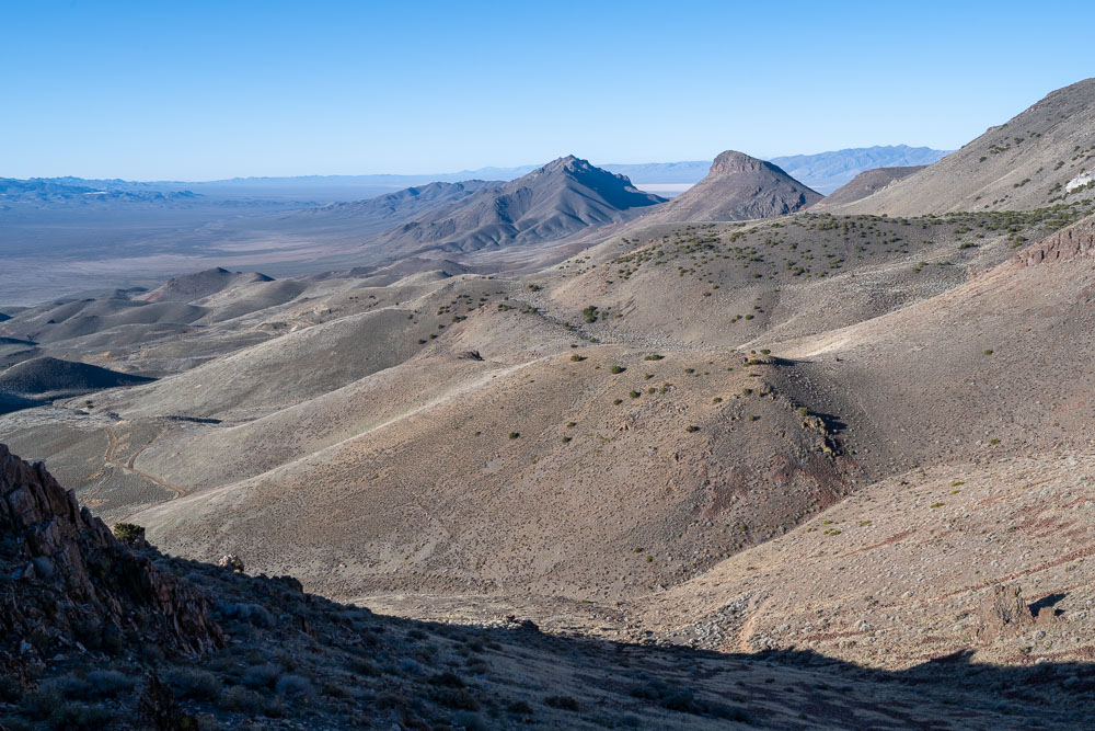
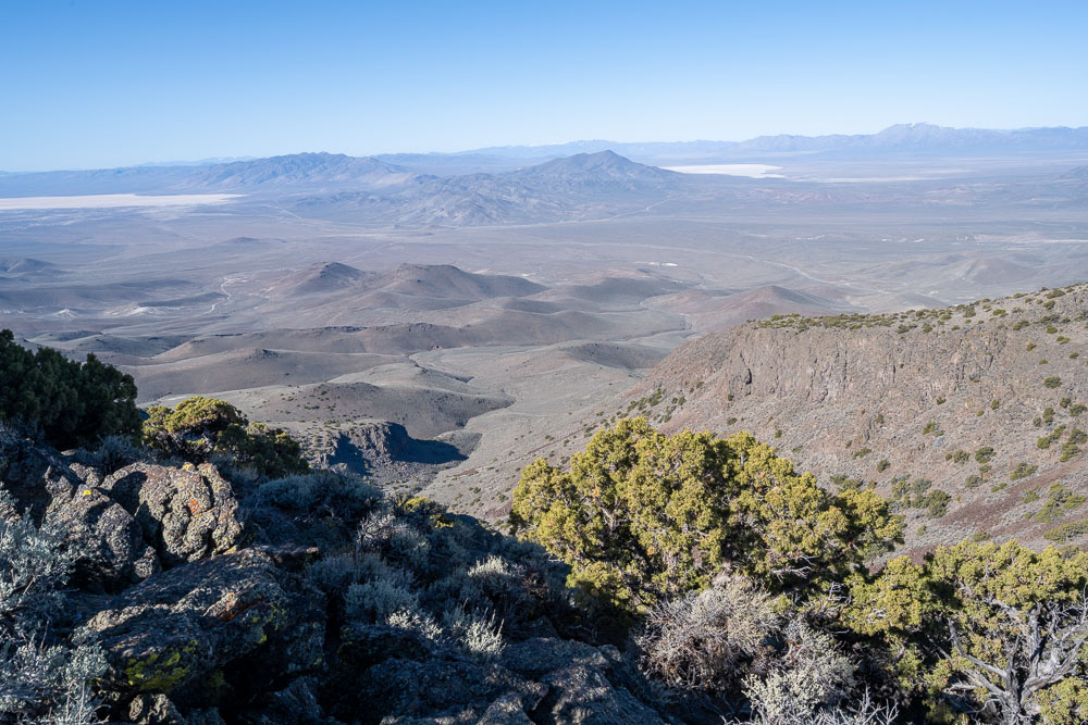
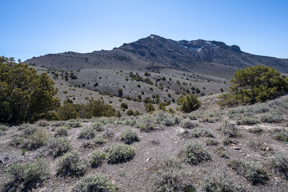
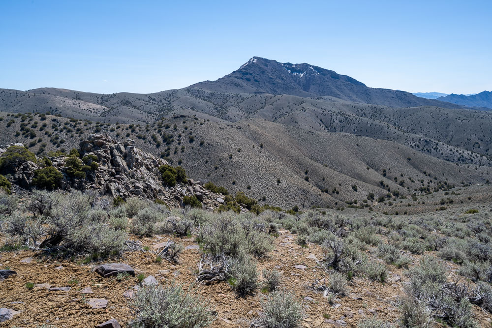
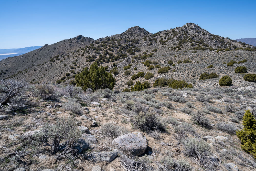
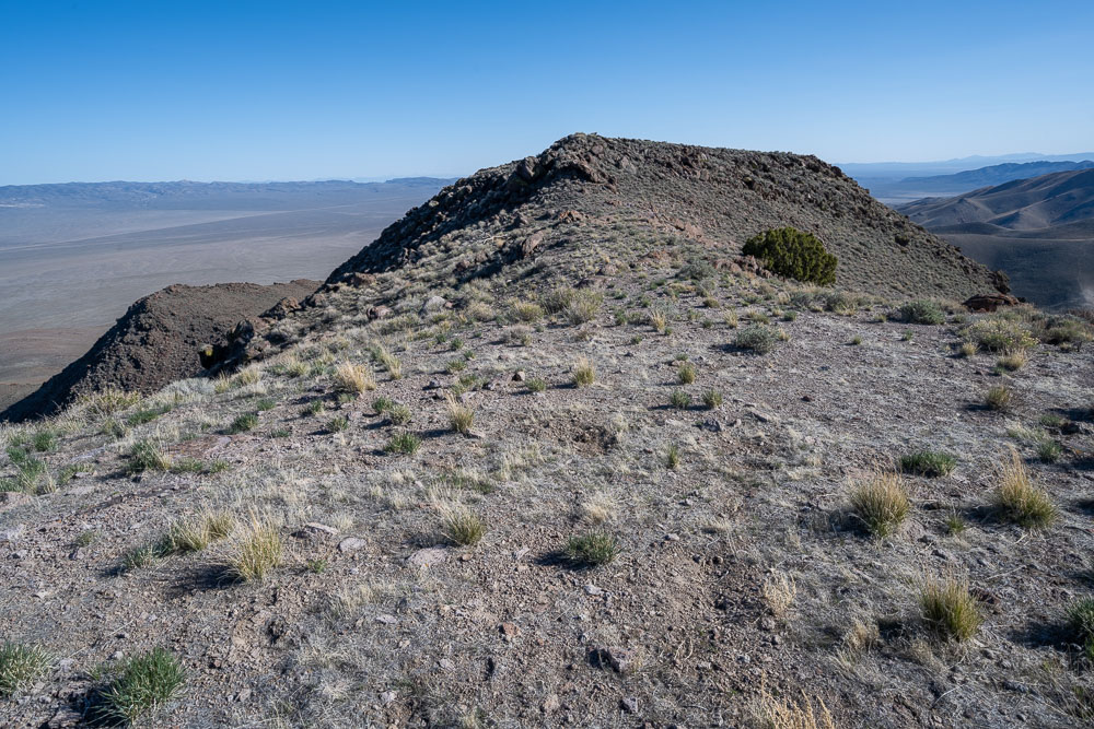
Seven Troughs Range HP in the distance.
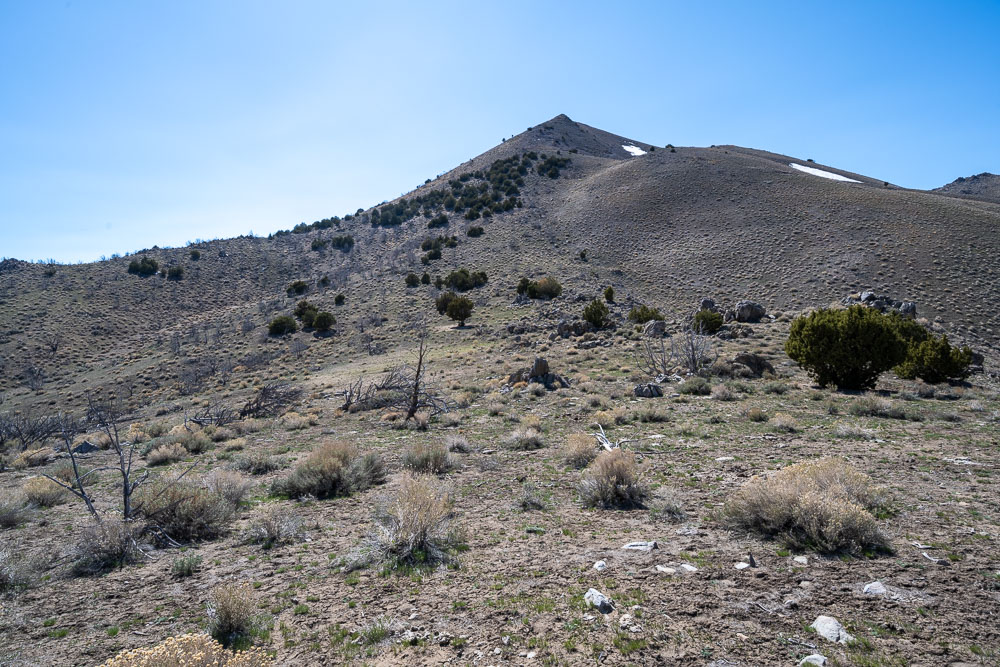
Signal Peak.
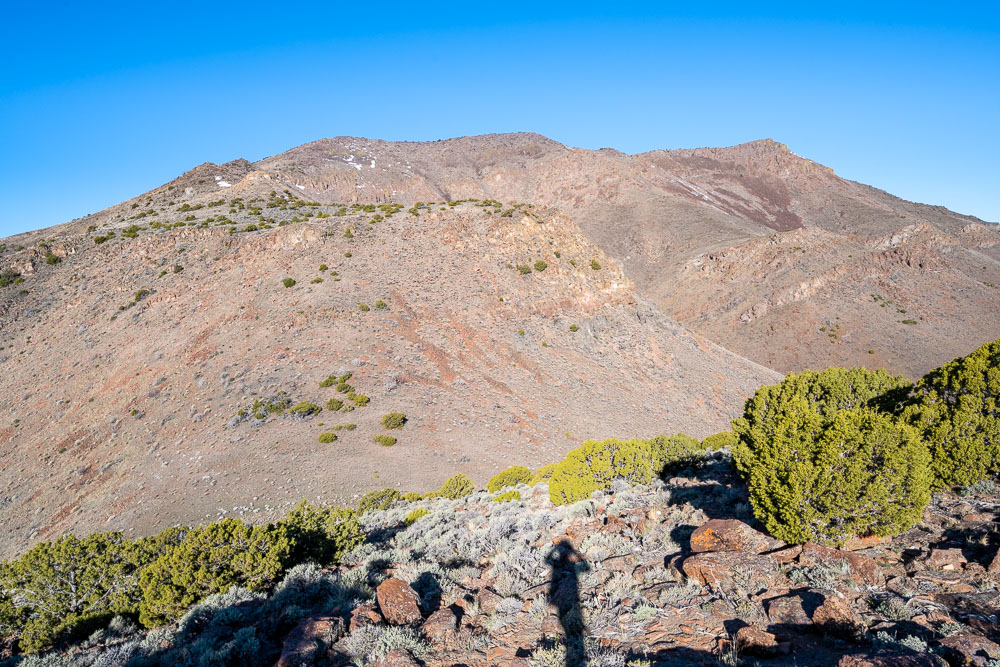
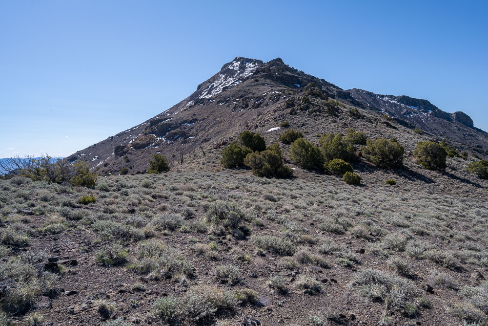
Seven Troughs Mountain.
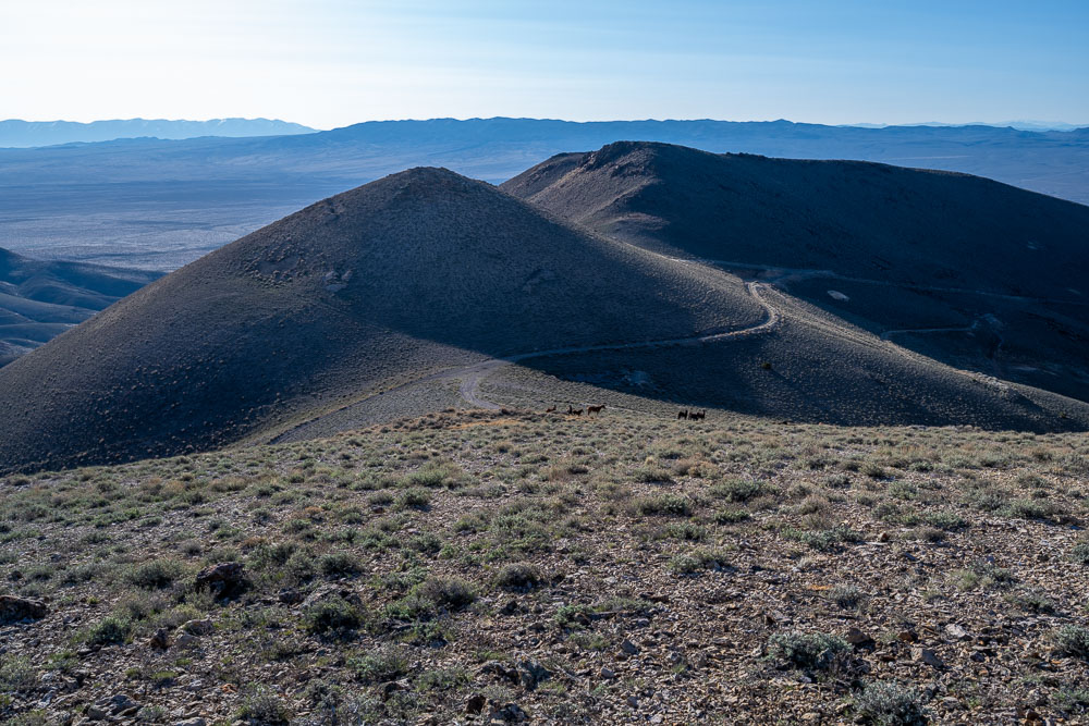
Wild horses near Signal Peak.
Summit of Signal Peak.
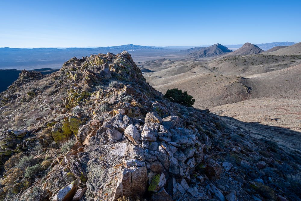
Unnamed peaks to the south.
Another view of Seven Troughs Range HP.
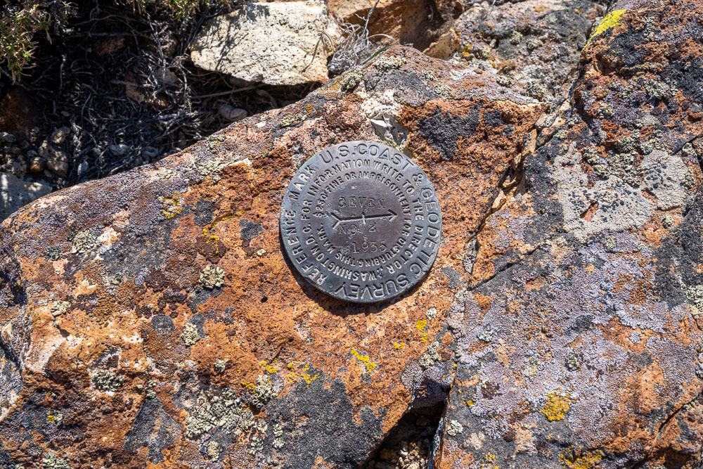
Benchmark at the summit.
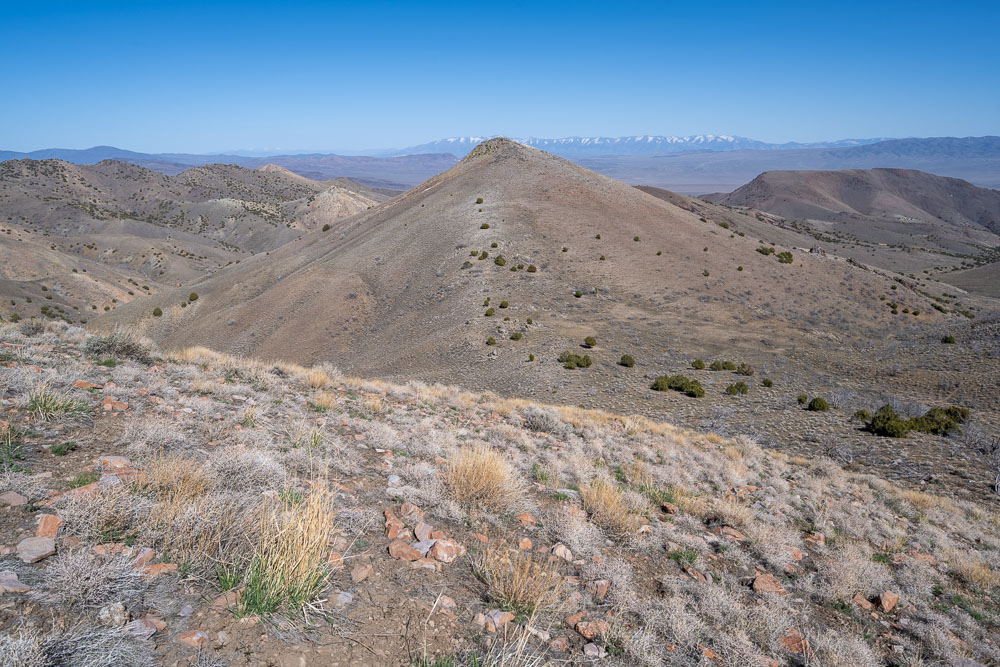
Seven Troughs Mountain.
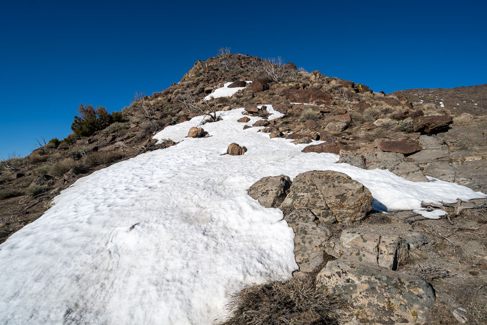
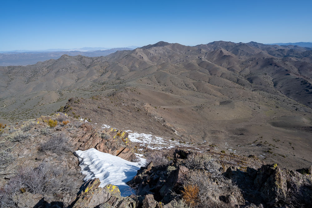
Some snow near the summit.
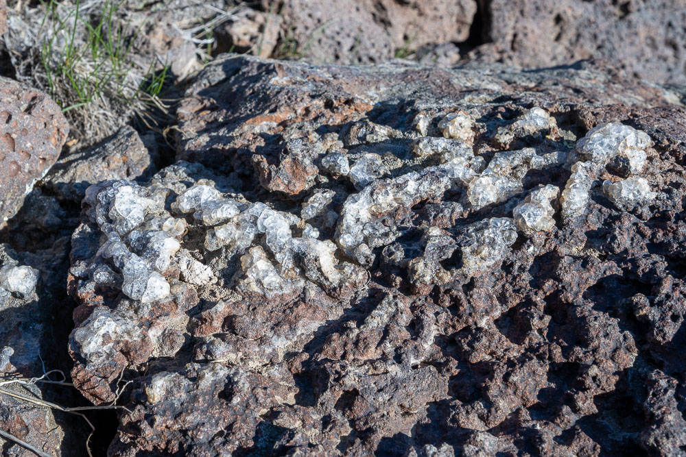
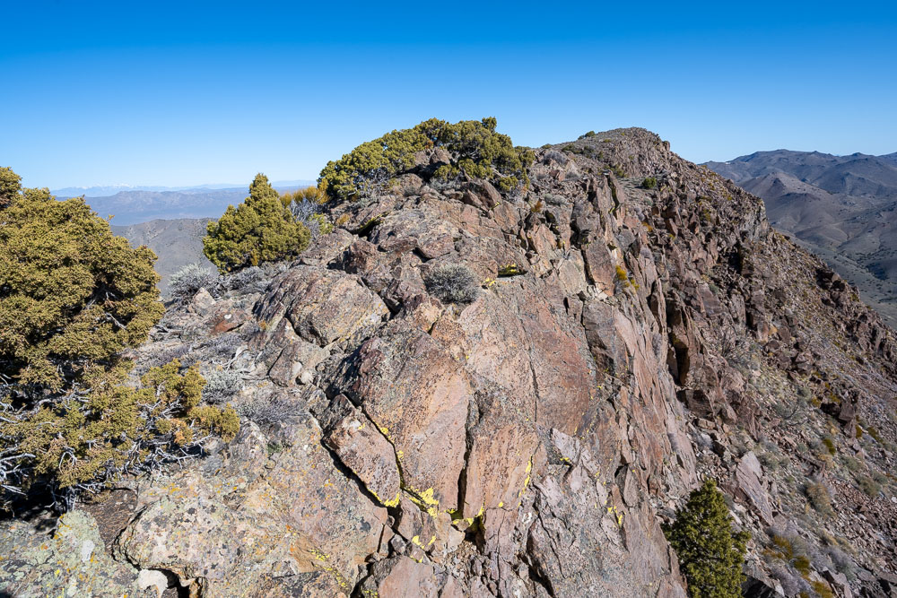
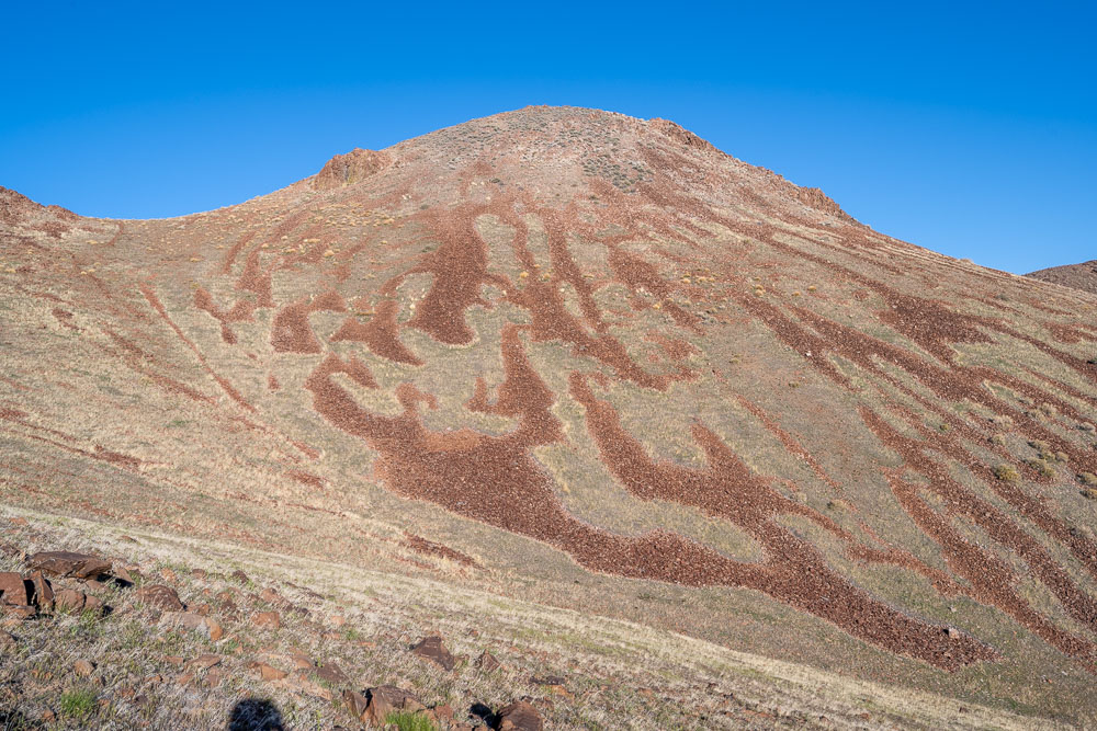
Strange looking rock formation.
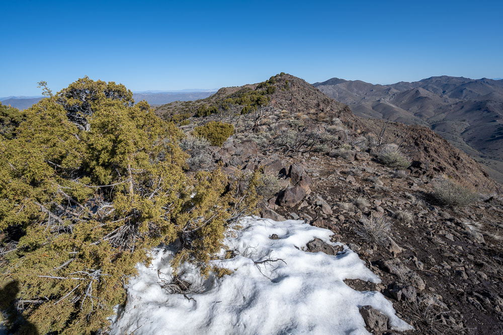
Summit ahead.
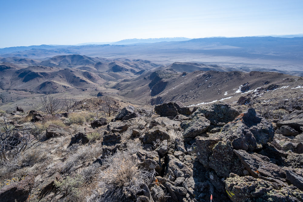
Humboldt Range in the distance.
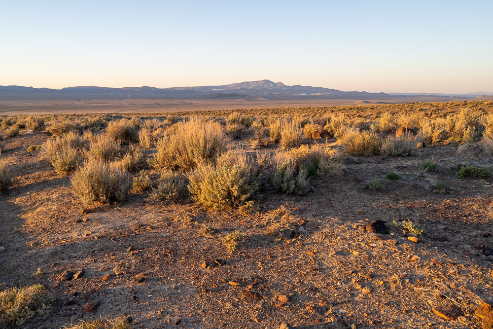
Kuvima Valley to the west.
Final scramble to the summit.
View north.
Peak 6971 (right), the next peak in the loop.
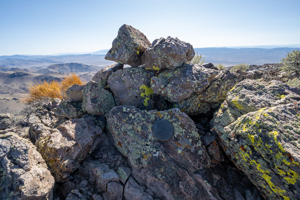
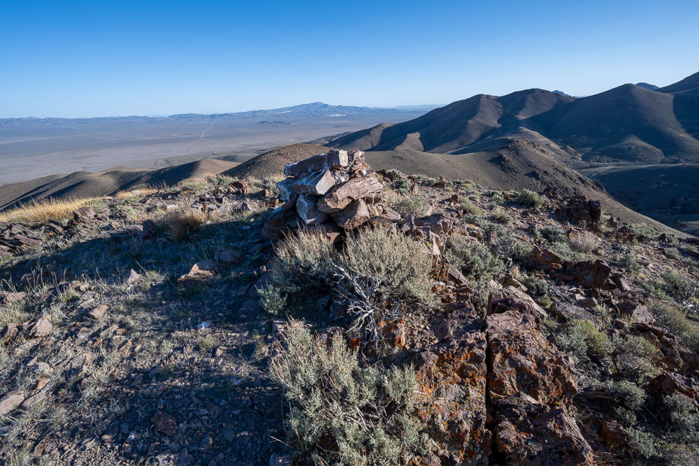
Summit cairn and benchmark.
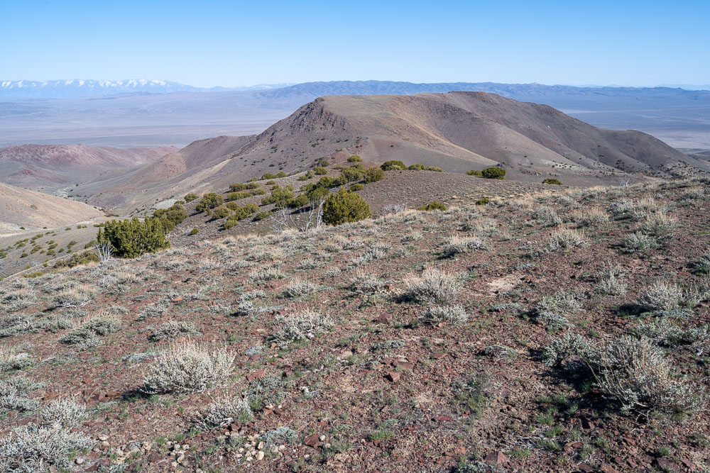
View back to Seven Troughs Mountain.
Another view from further back.
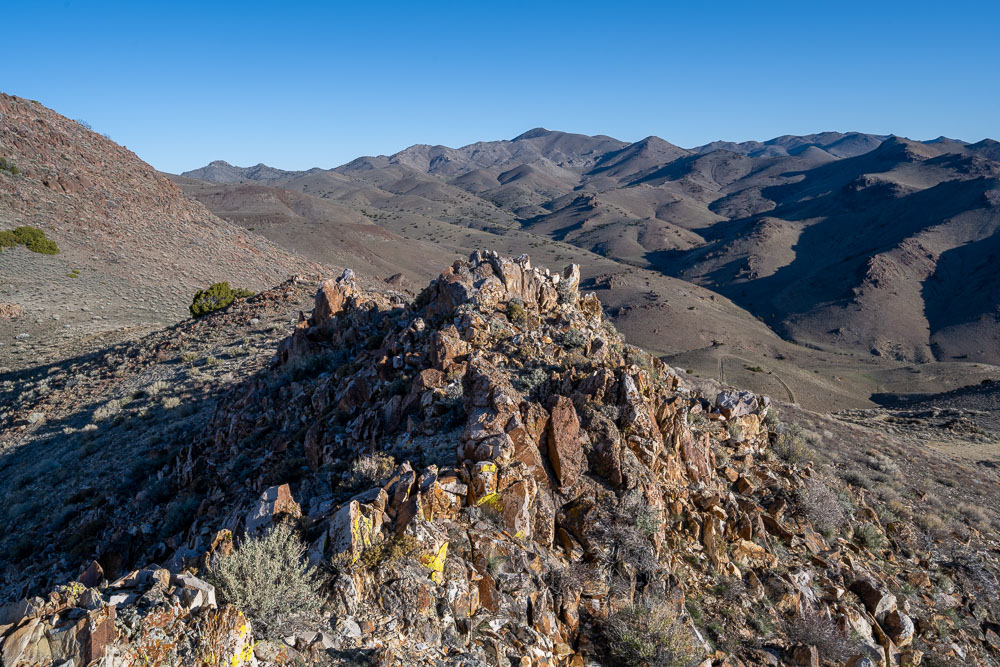
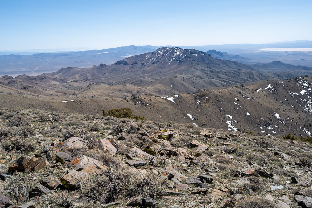
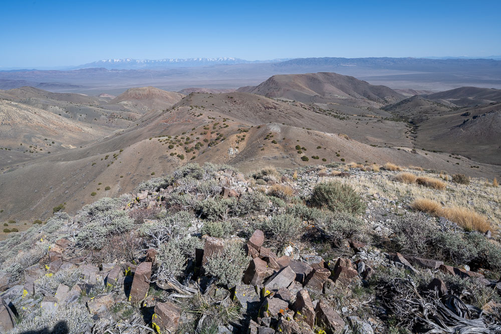
Seven Troughs Range HP.
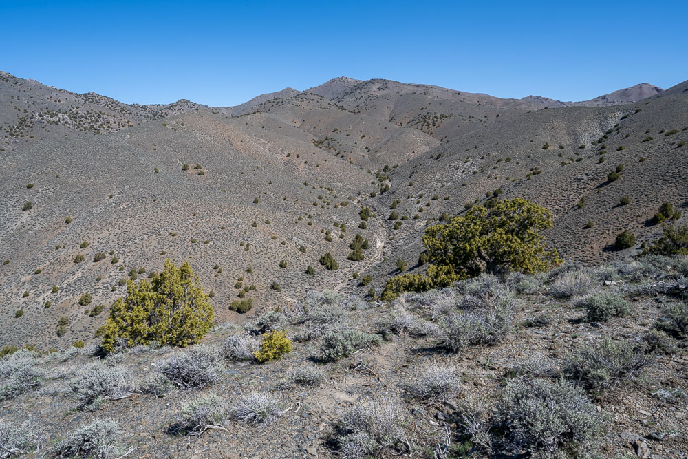
Walking the wash over to Peak 6971.
View back to Seven Troughs Mountain from near the summit of Peak 6971.
Peak 6971.
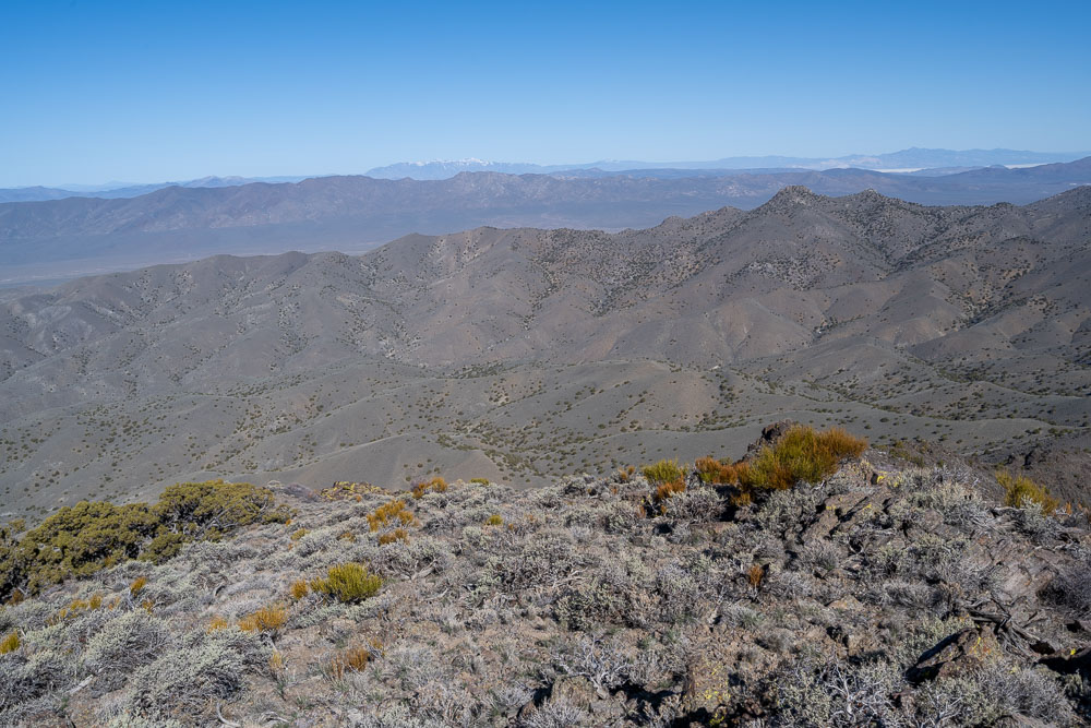
View north from the summit.
View south from the summit.
Peak 6971 from below.
Another view of Peak 6971.
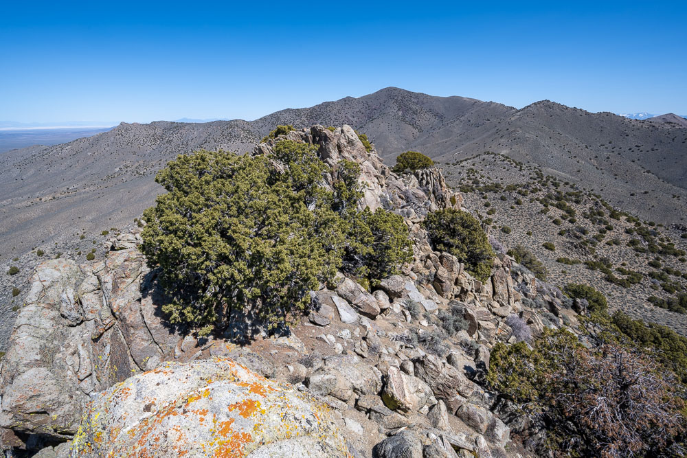
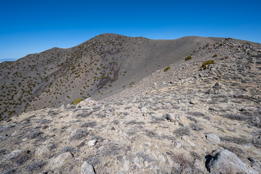
Following the ridge to Seven Troughs Range HP.
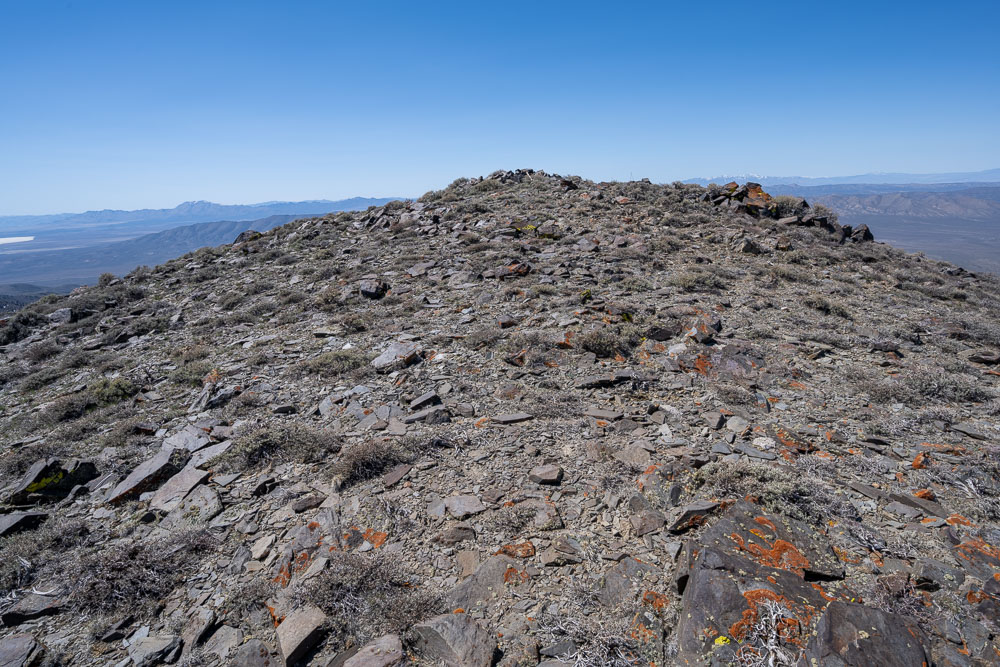
Summit area.
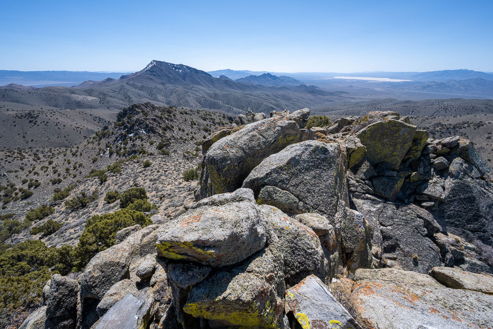
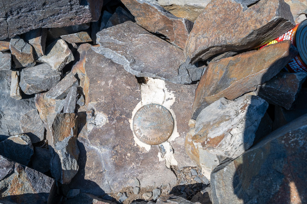
Benchmark at Seven Troughs Range HP.
Seven Troughs Mountain to the southeast.
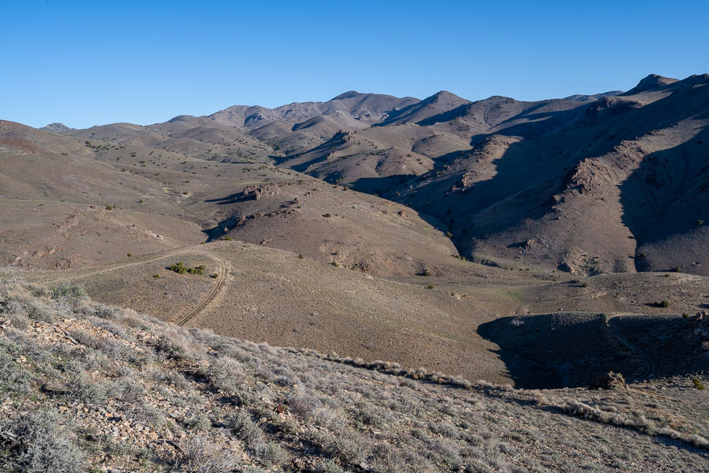
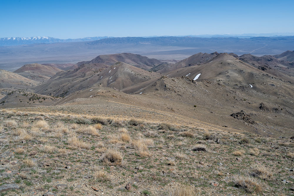
Several unnamed peaks that I went over on the way back to the car.
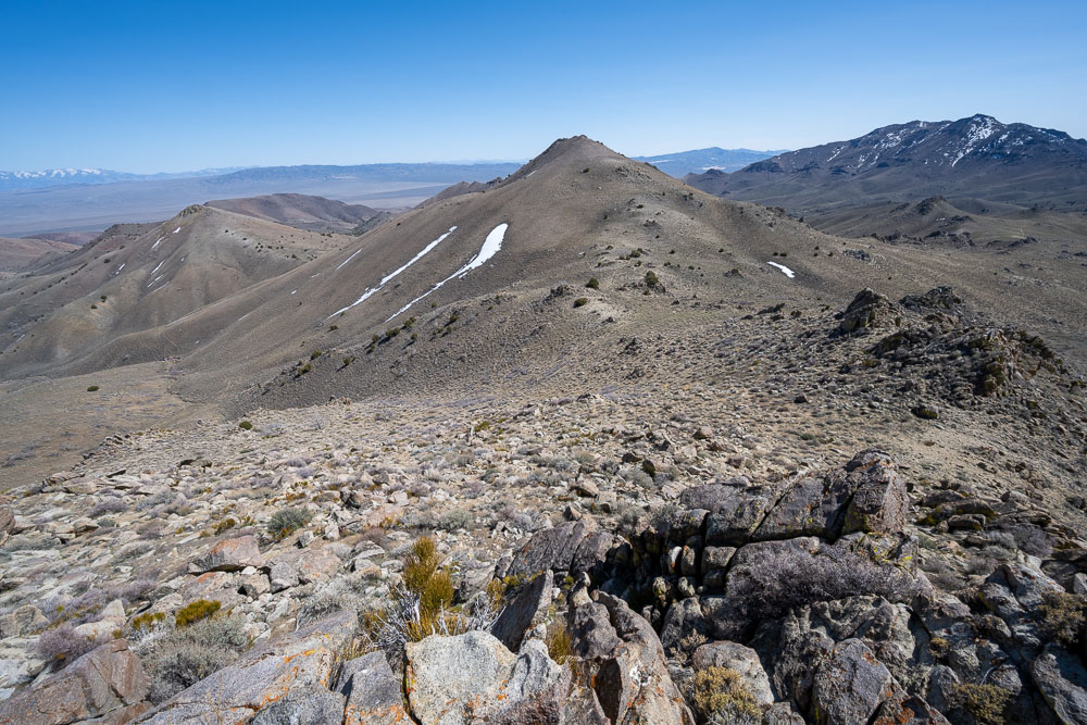
Peak 7080.
Peak 6761.
View back to Peak 7080.
View east from Peak 6761.
Peak 6295.
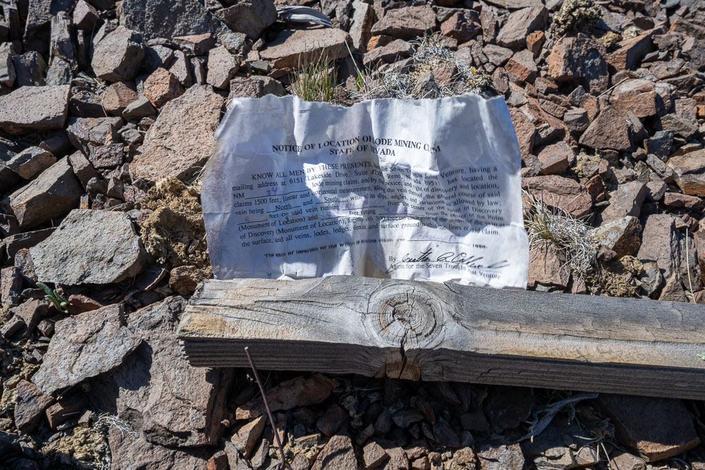
Mining claim paperwork that was tucked inside a small container attached to the post.
Peak 6295.
Descending into Wild Horse Canyon to check out one of the mining areas.
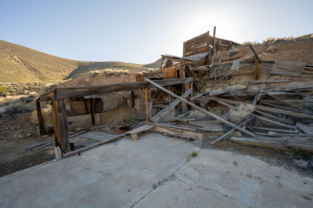
Collapsing mining structure.
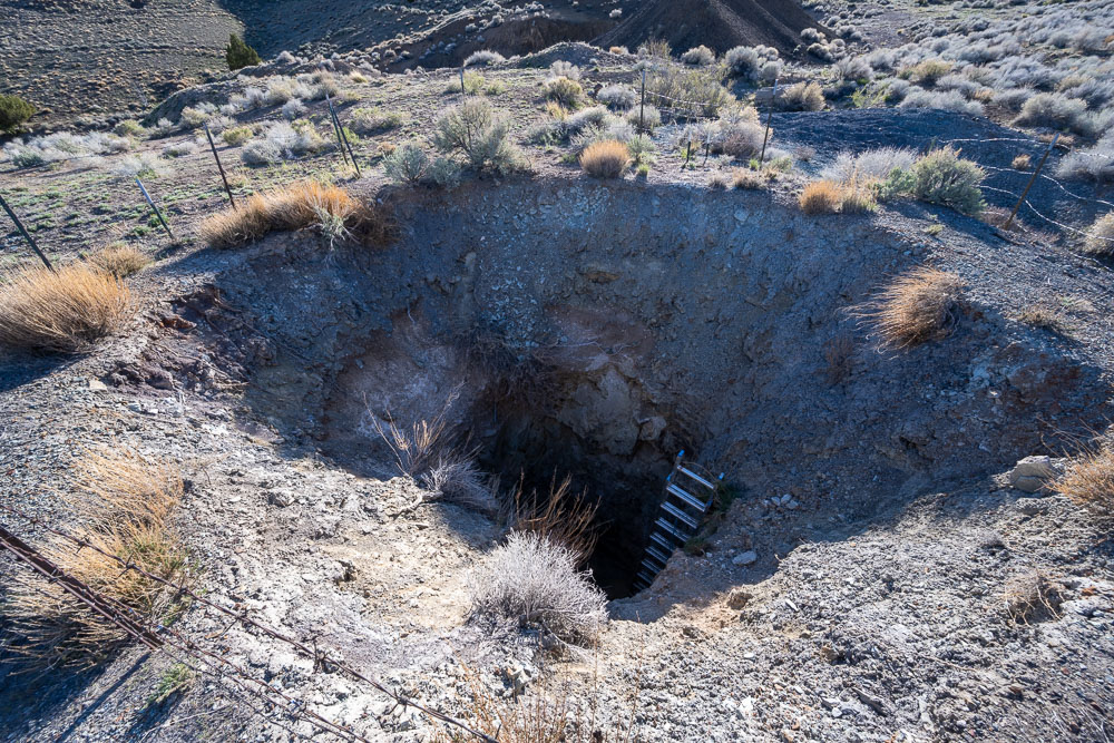
Deep mine with a sketchy ladder leading down.
View back to Peak 6295.
Summit of Peak 5948, the final peak in the loop.
Peak 5948 from below.
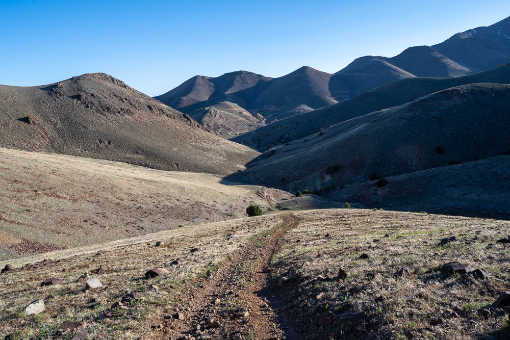
Following the road to complete the loop.
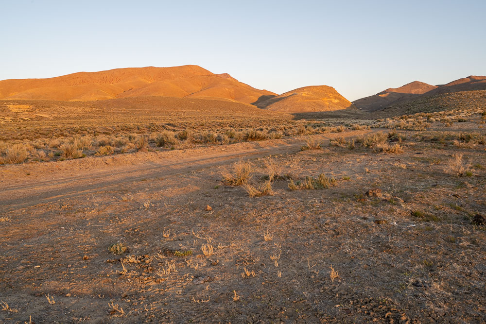
Evening light along the road.
I got back to the car just as the sun was setting behind the ridge.
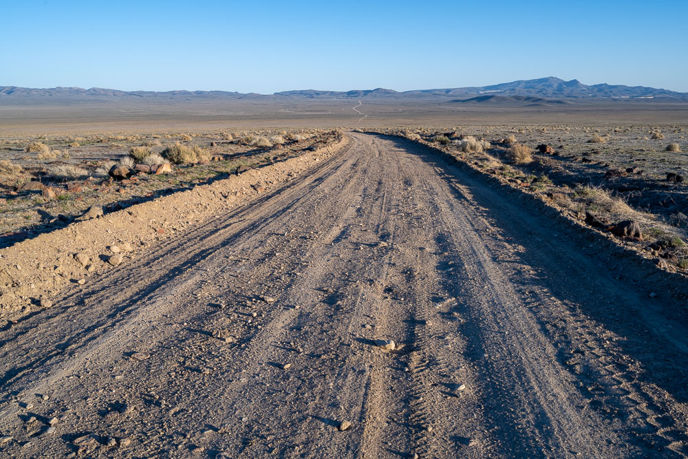
Starting the long drive back out to the highway.
More Trips Near Here
Oct 29, 2021
King Lear Peak
Hike
May 14, 2021
Fox Mountain, Granite Peak
Hike
Apr 18, 2021
Blue Mountain, Wolfram Peak
Hike
Prev Trip
Prev Hike
Next Hike
Next Trip
© 2026 Chris Kerth