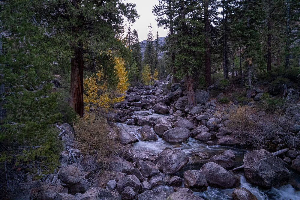
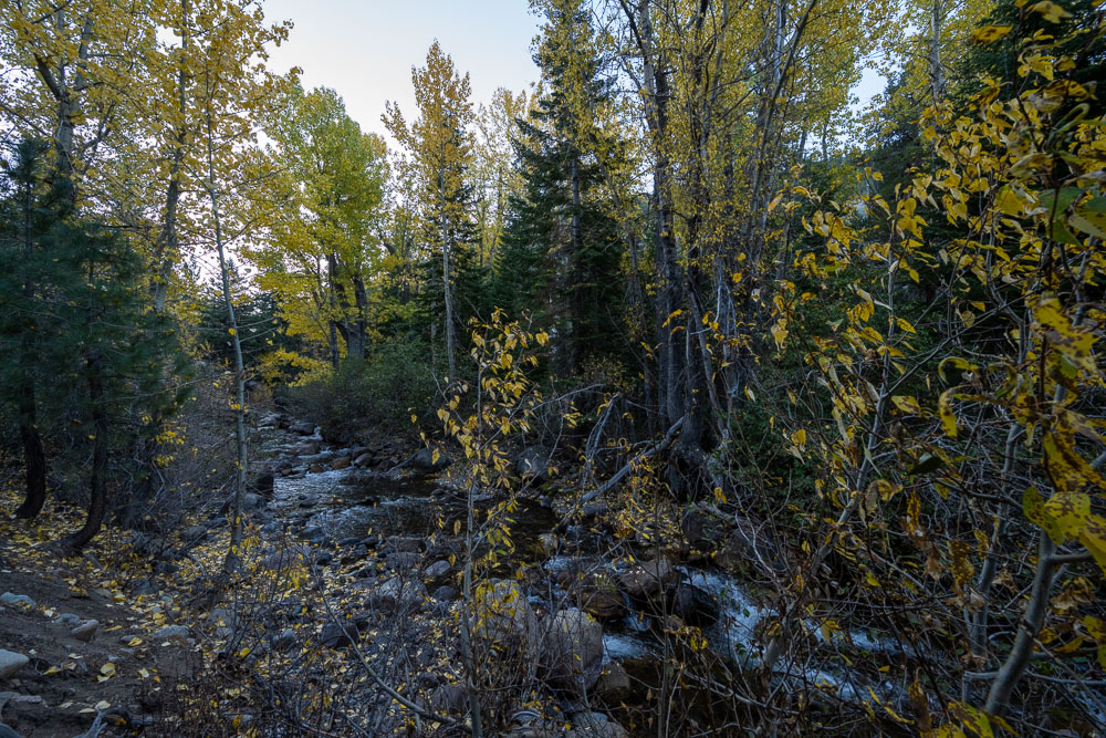
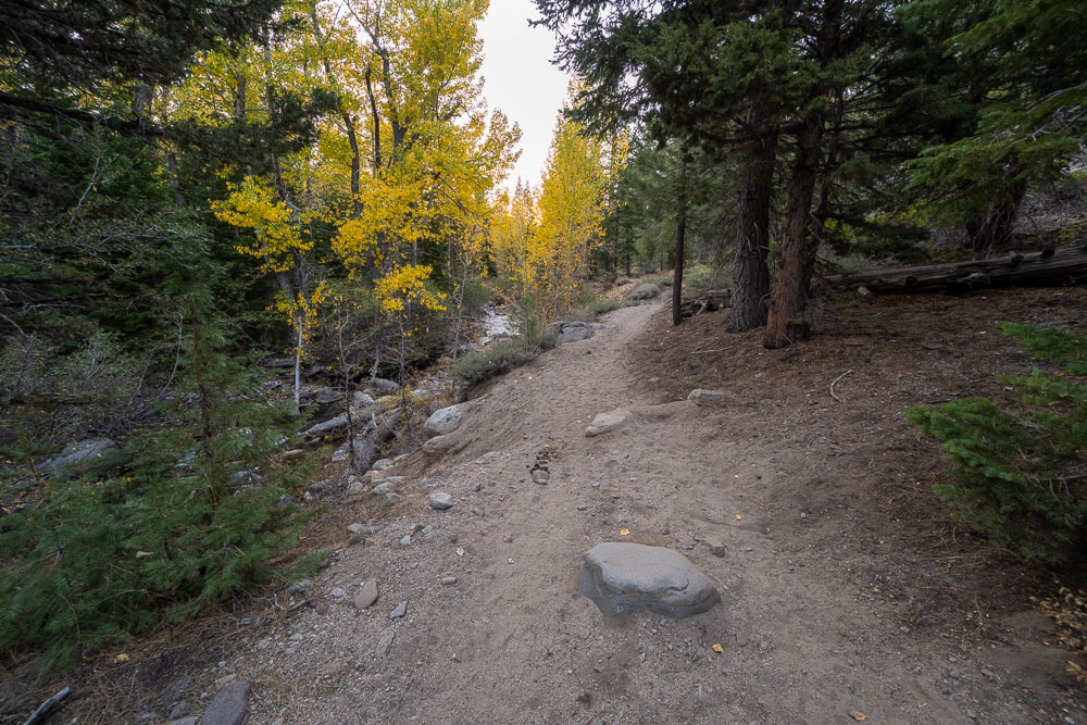
Aspens changing color on the way up Kennedy Creek.
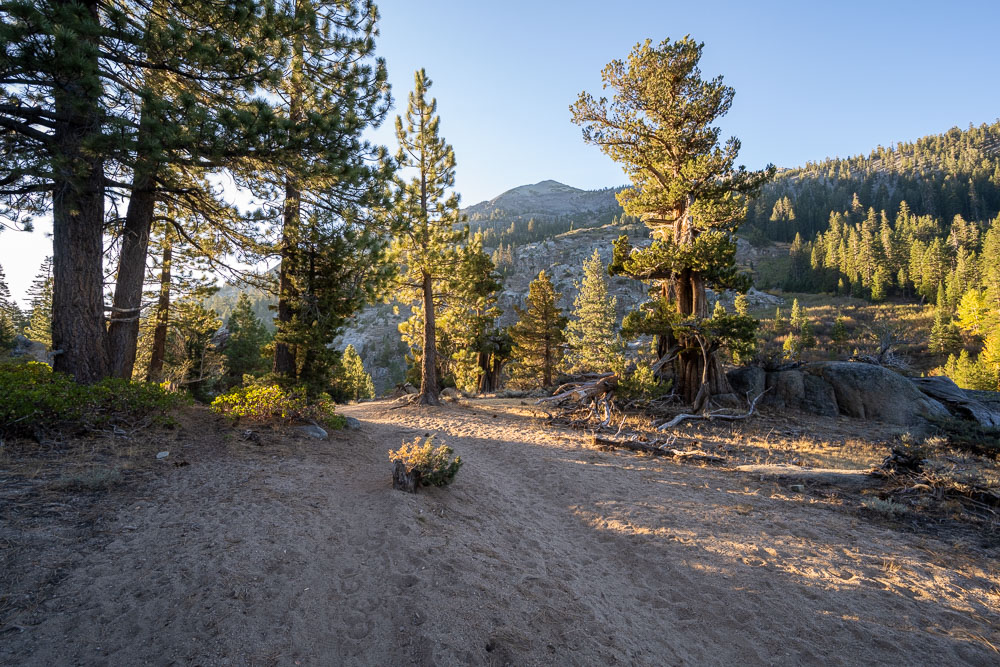
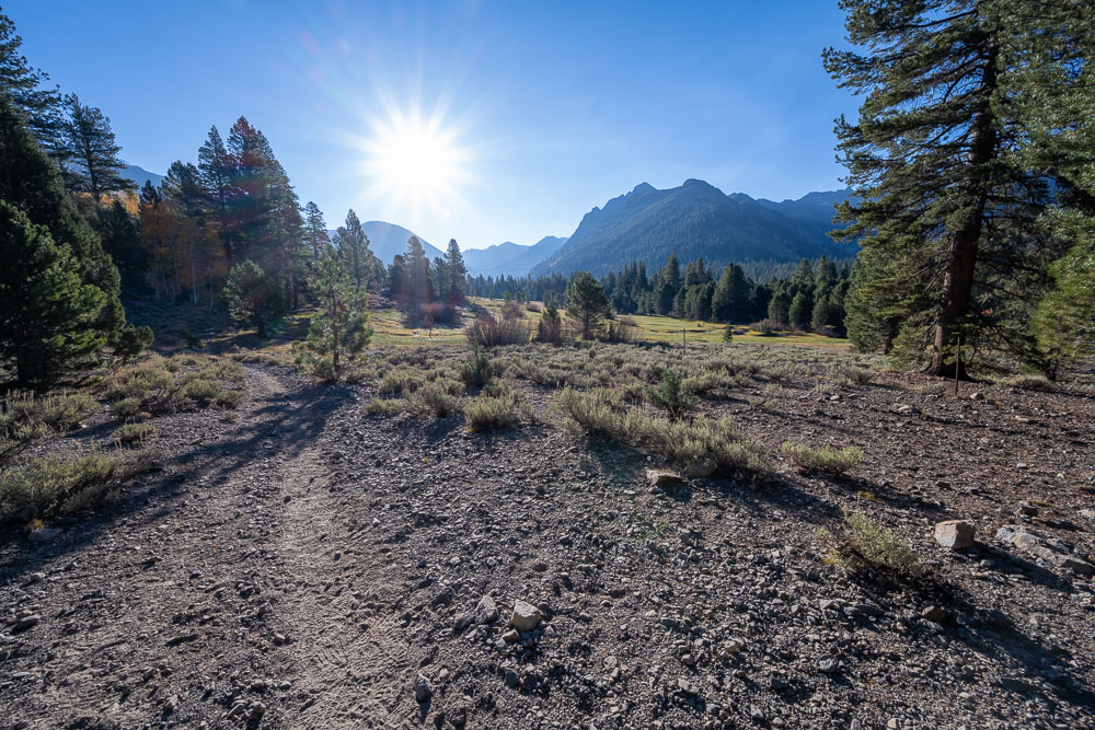
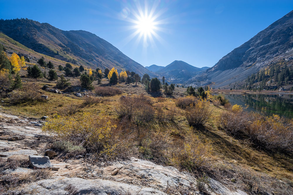
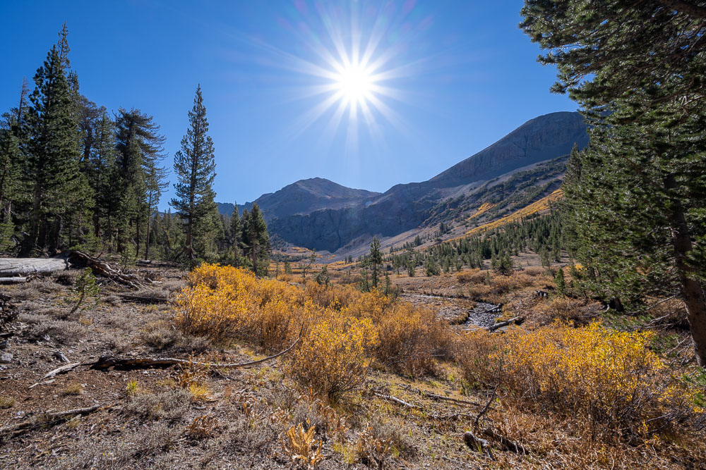
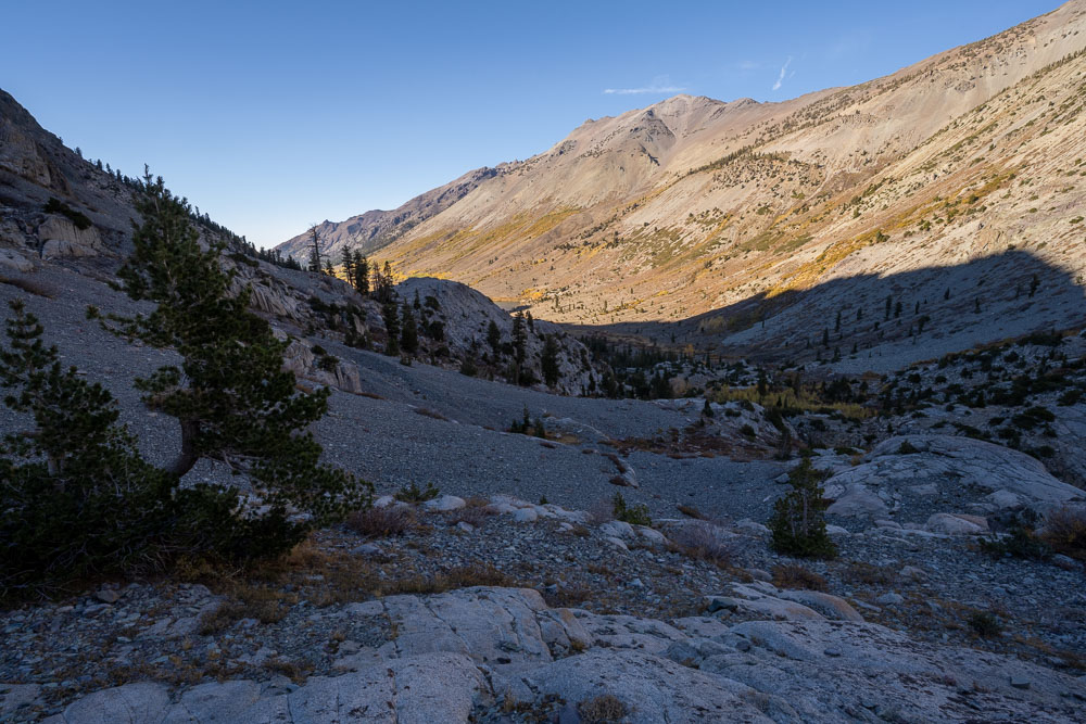
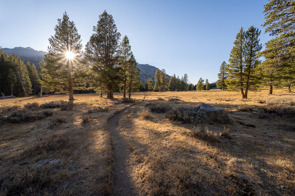
First sunlight on the trail.
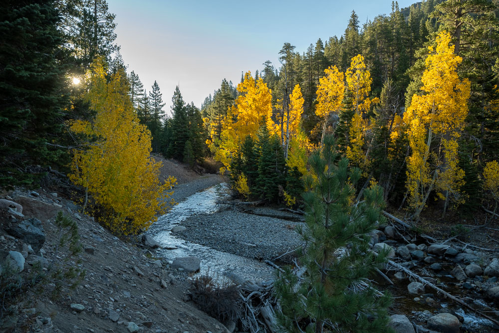
Another view of the aspens along Kennedy Creek.
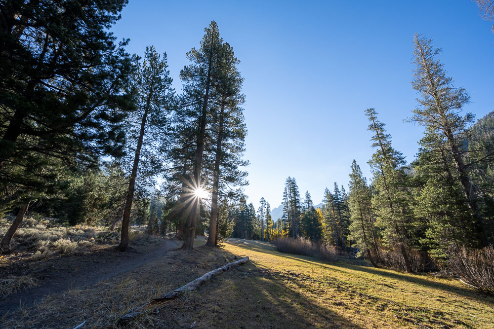
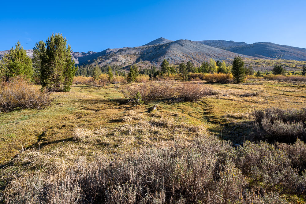
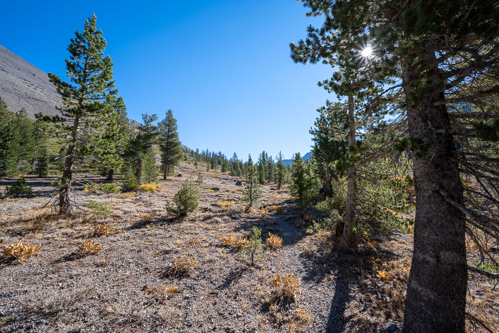
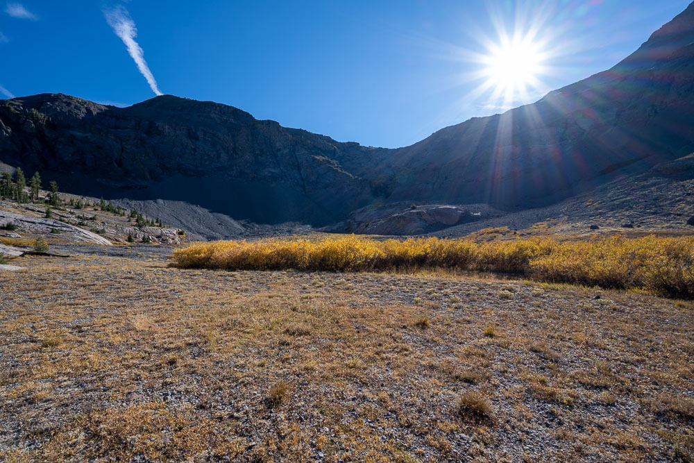
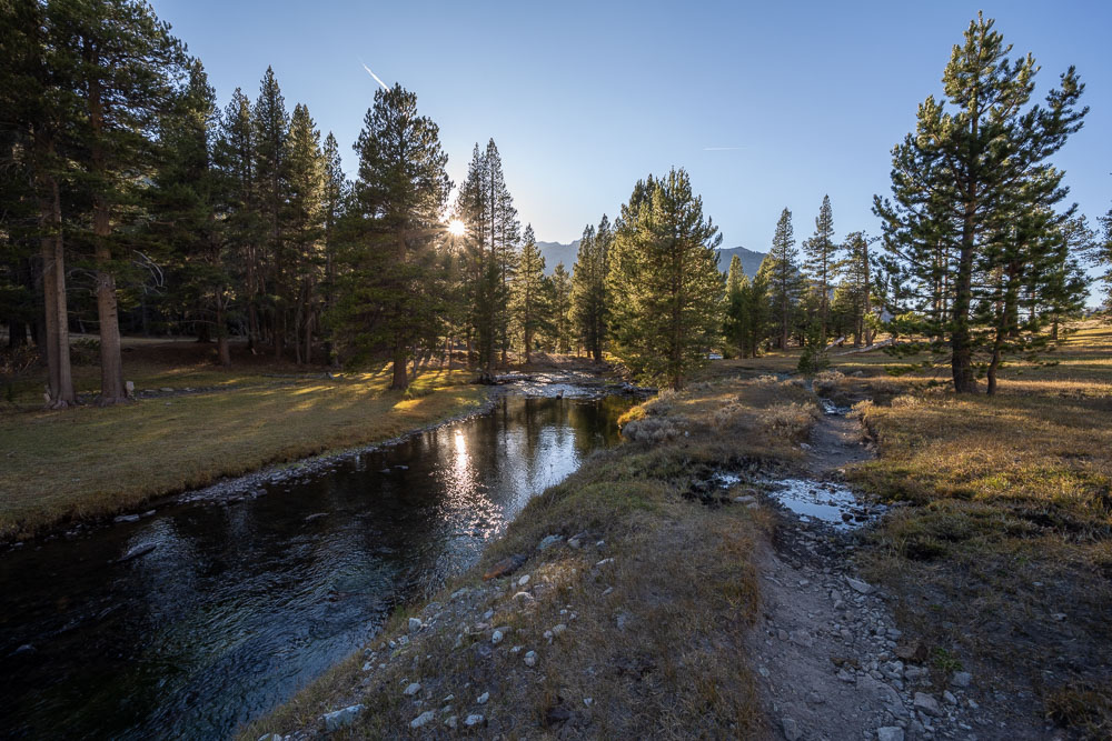
One of several meadows along the trail.
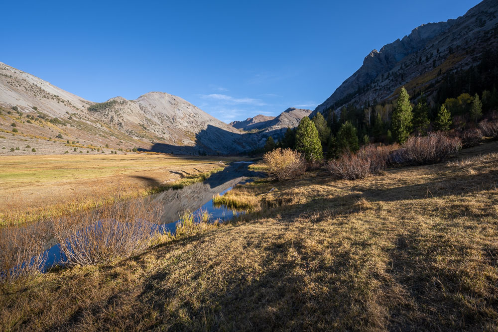
Upper meadow before reaching Kennedy Lake.
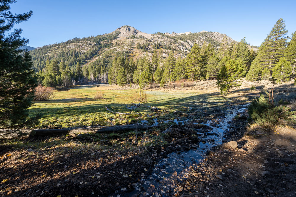
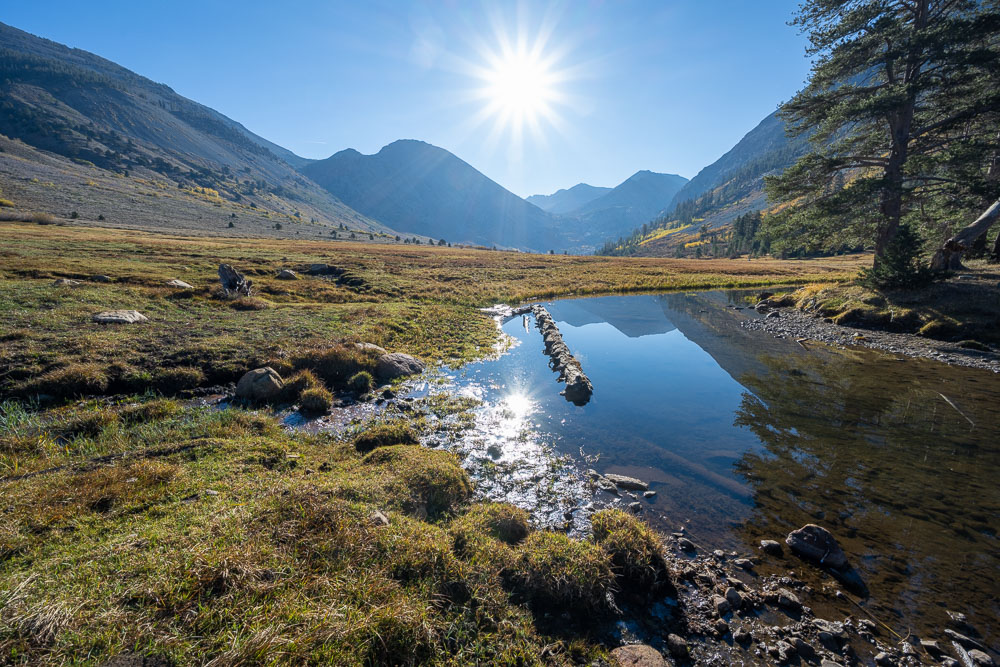
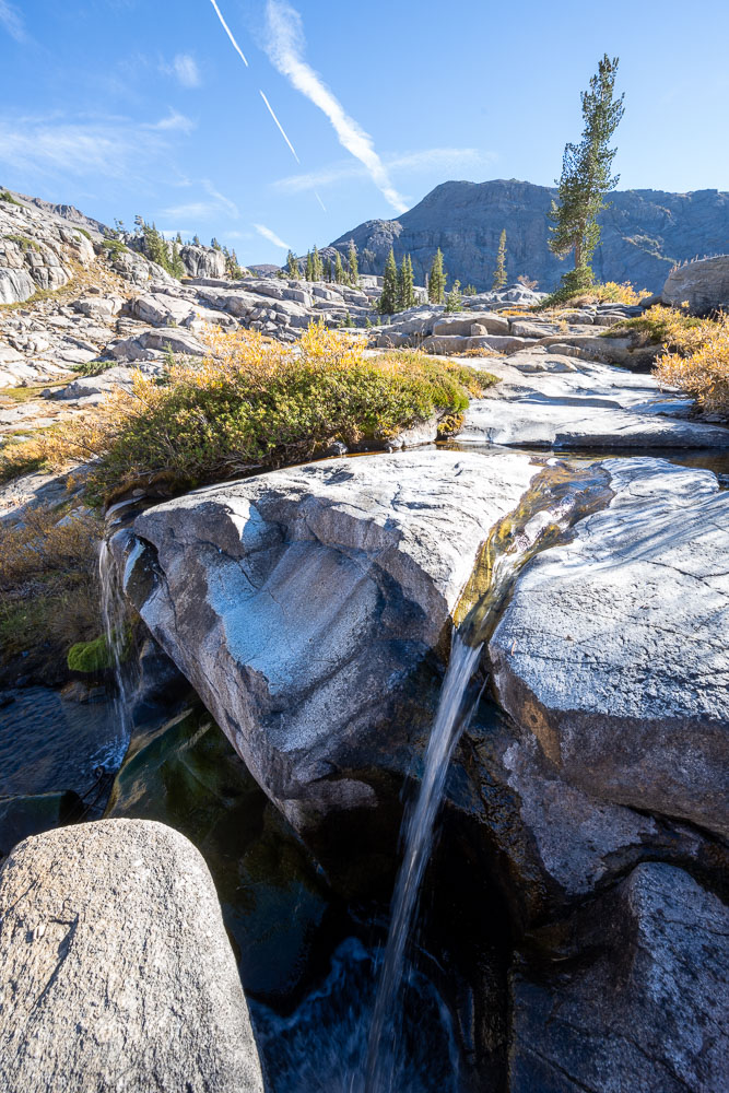
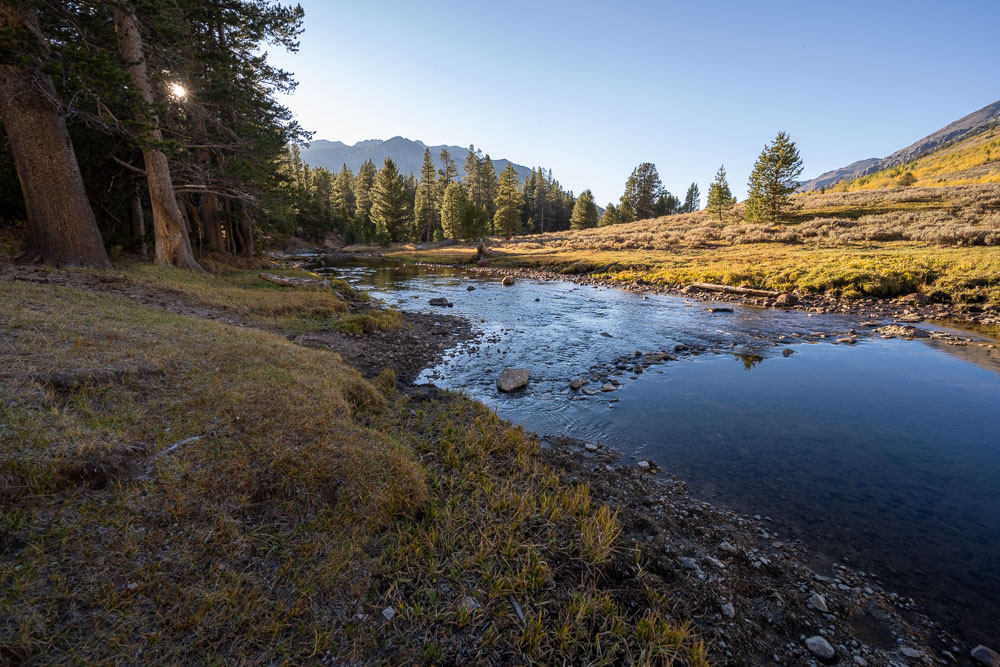
A small creek flowing across the trail.
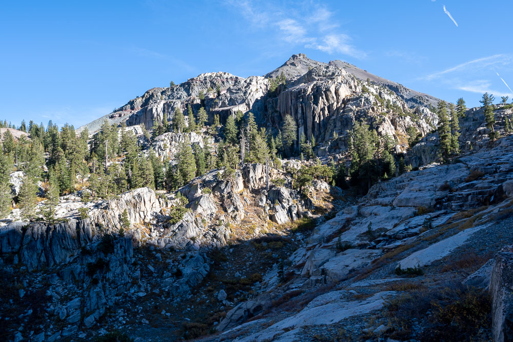
View up to Leavitt Peak.
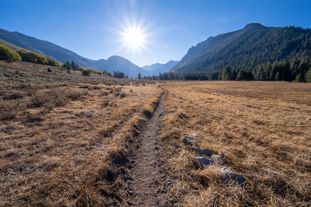
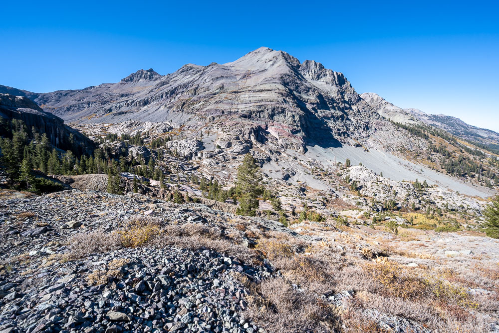
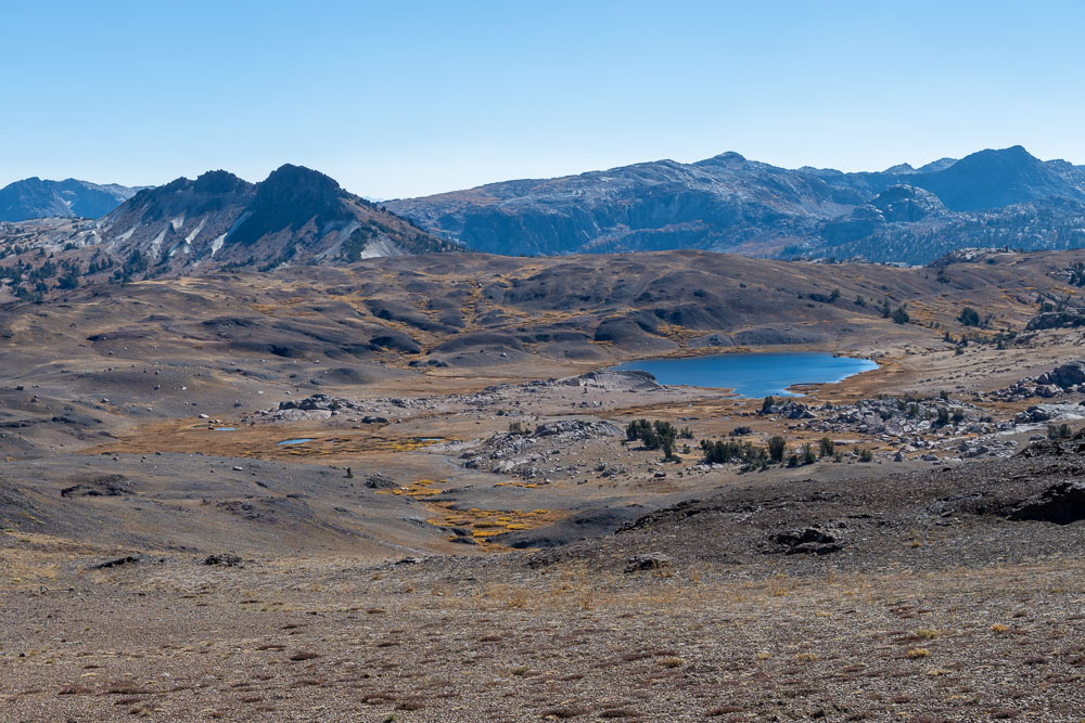
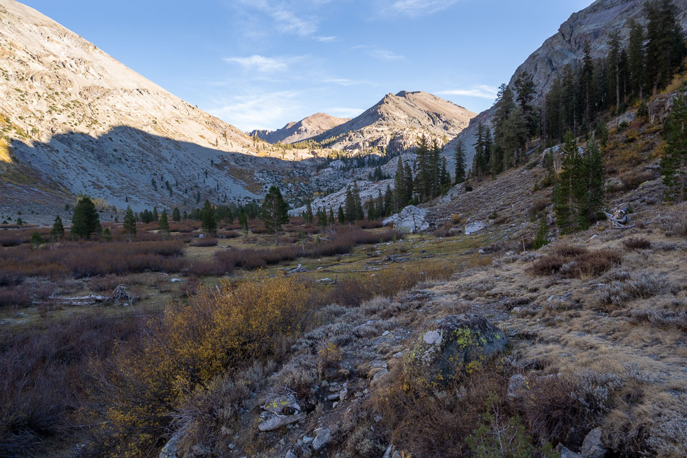
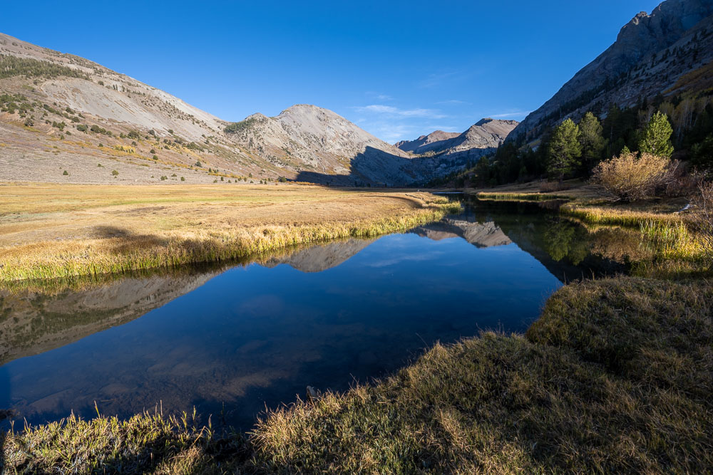
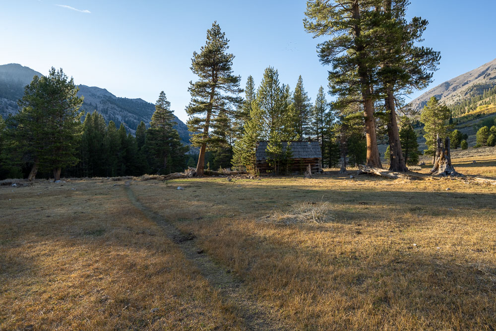
A big meadow below Kennedy Lake. Big Sam is the peak in the center in the distance.
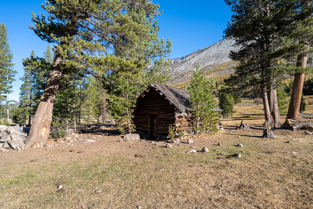
An old cabin near the meadow.
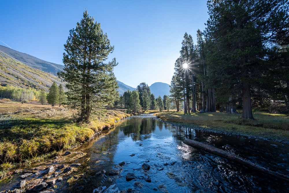
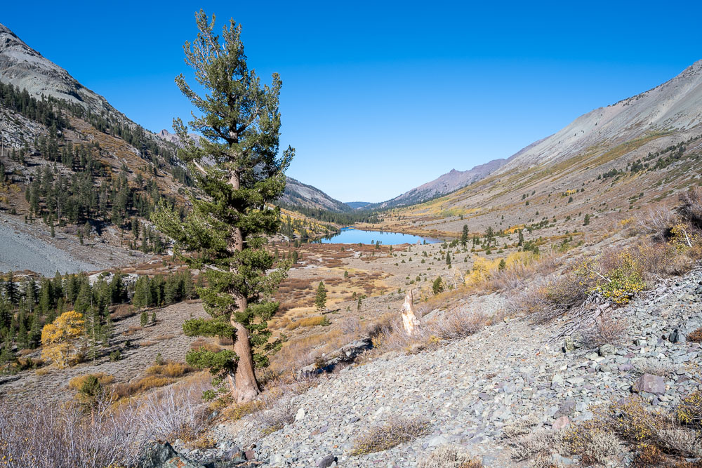
Kennedy Creek shortly before reaching Kennedy Lake.
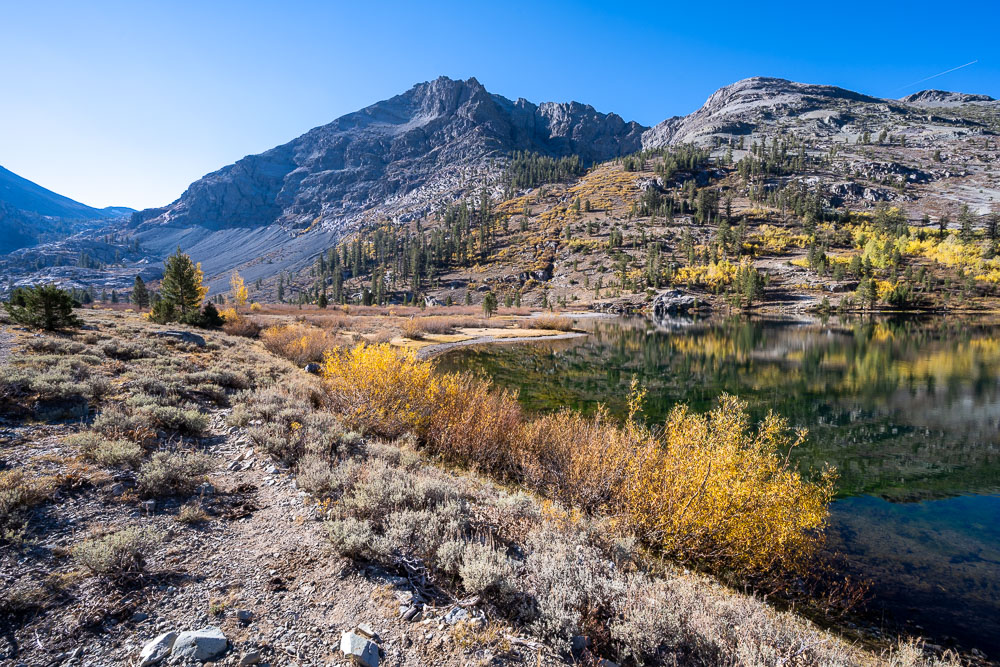
Approaching Kennedy Lake. On the way up I followed the north shoreline (marshy) and on the way back I followed the south shoreline (slightly overgrown but not as wet).
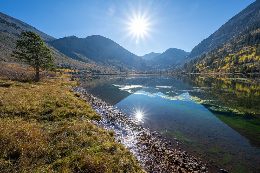
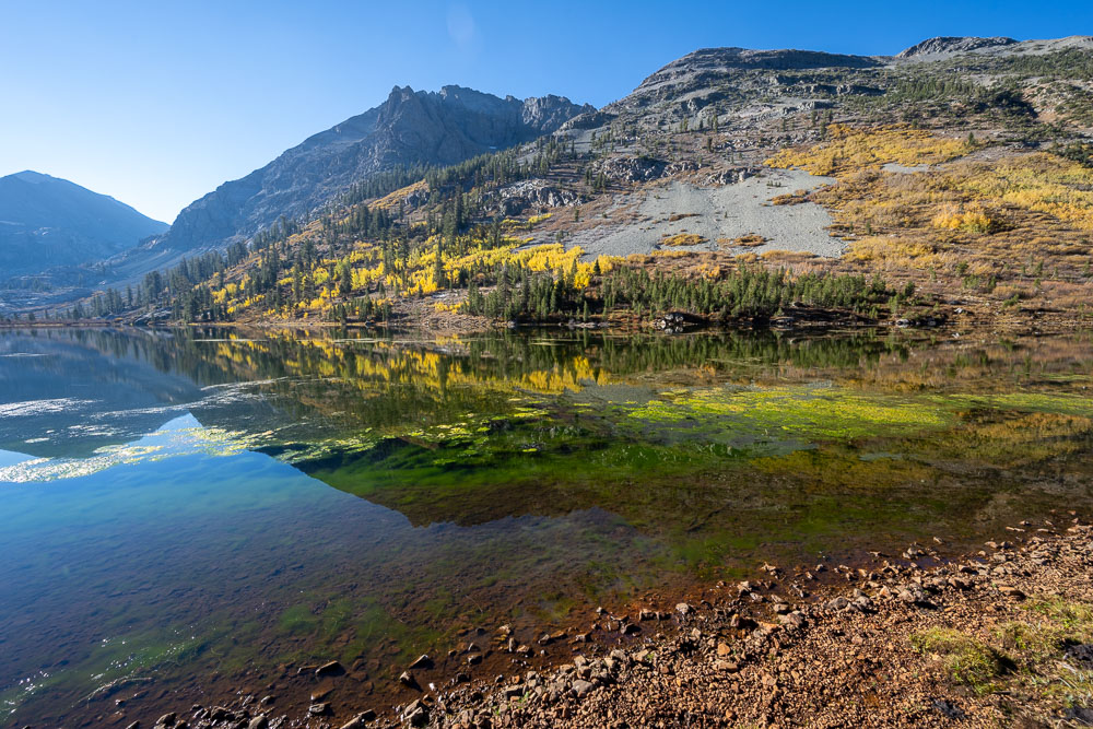
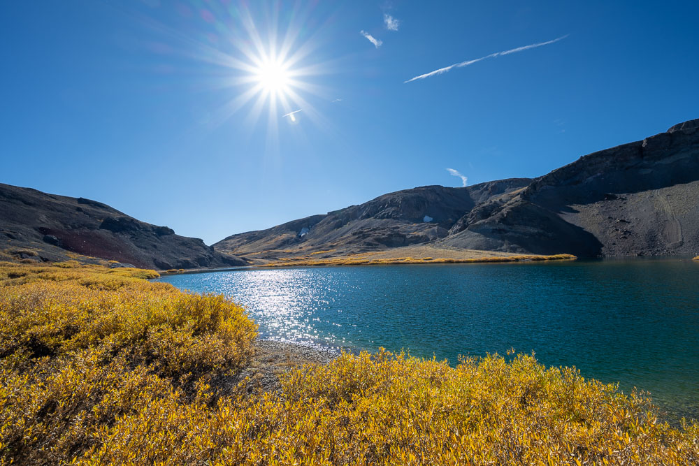
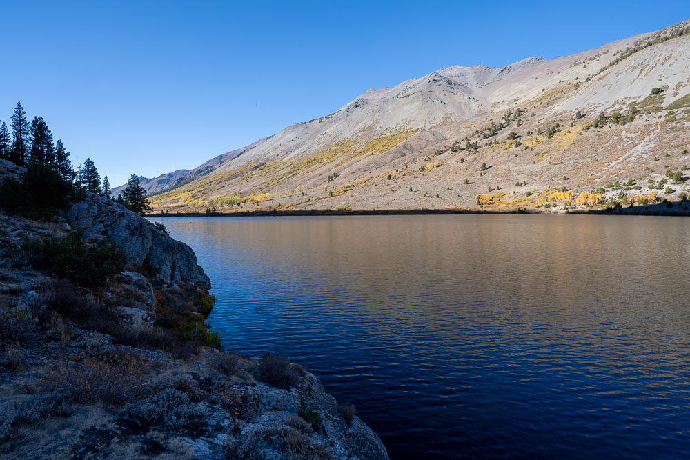
Kennedy Lake.
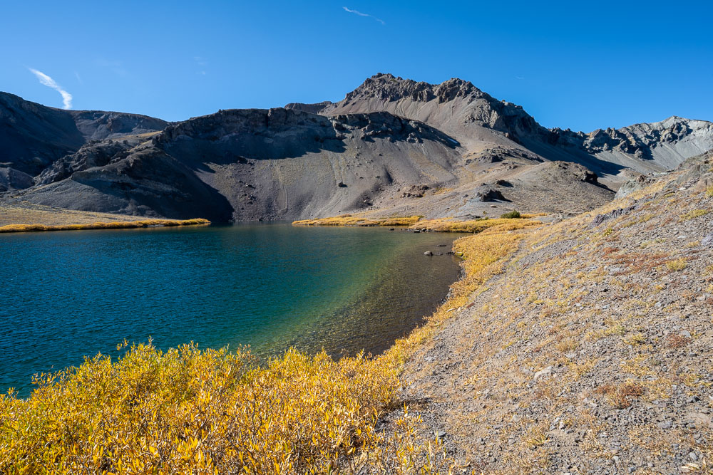
Kennedy Peak to the south.
Following the north side of the lake. There is a pack trail that can be followed all the way up to the PCT.
Another view of Kennedy Peak.
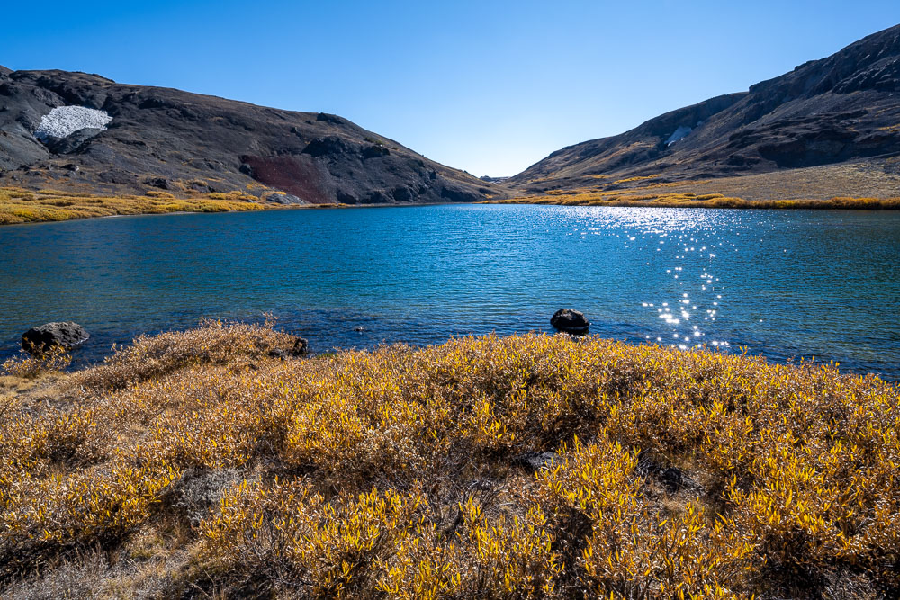
View back to Kennedy Lake from the pack trail.
Molo Mountain (left) and Kennedy Peak (right).
Continuing on the pack trail.
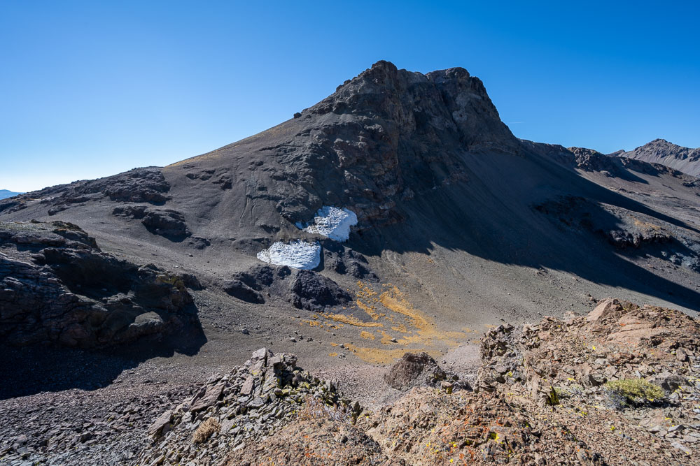
Peak 10833 at the head of the canyon.
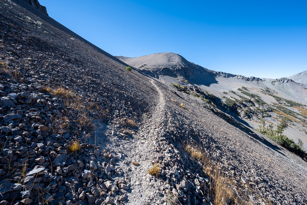
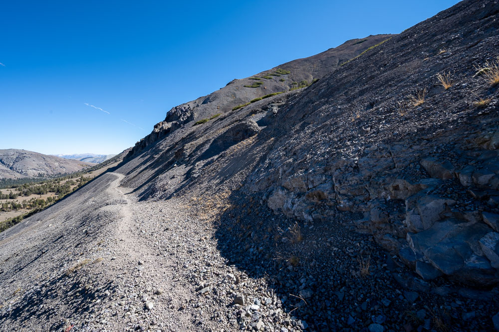
Following a trail across the loose slope below Peak 10833.
Meeting up with the PCT.
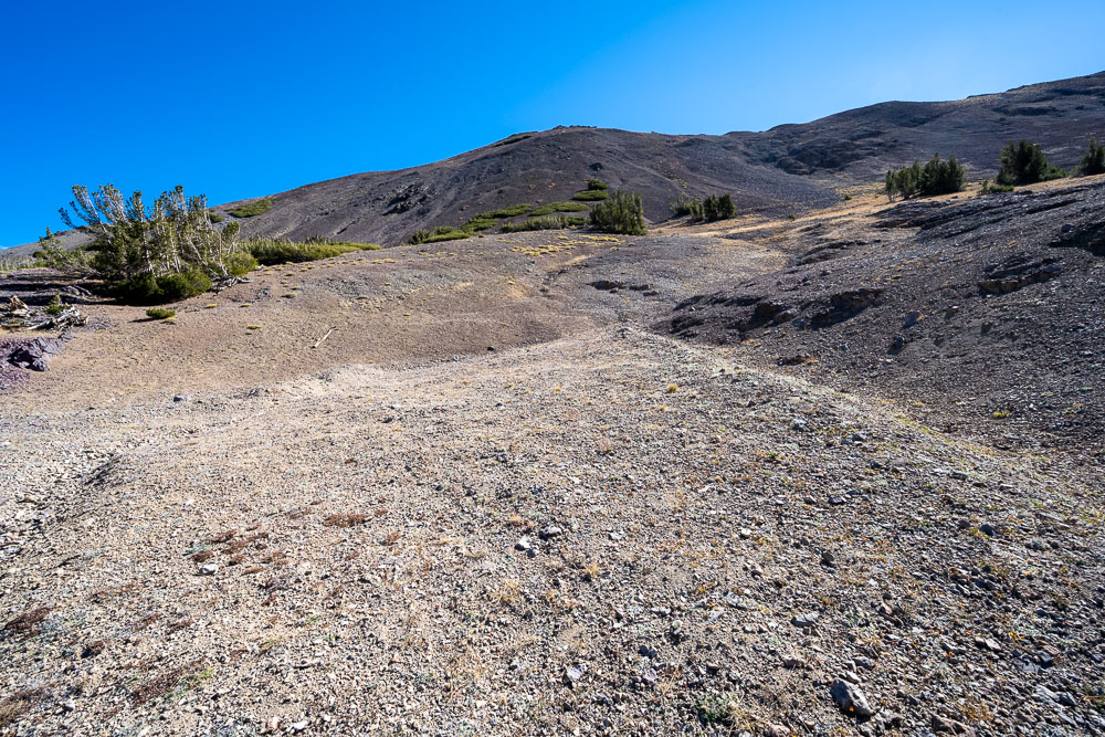
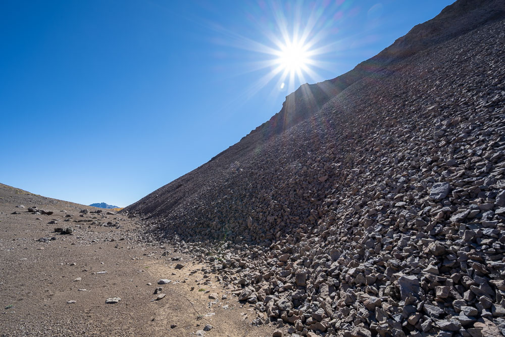
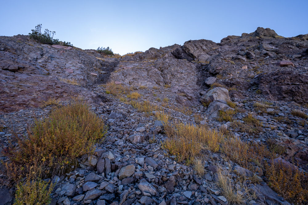
Loose slope on the way up Peak 10833.
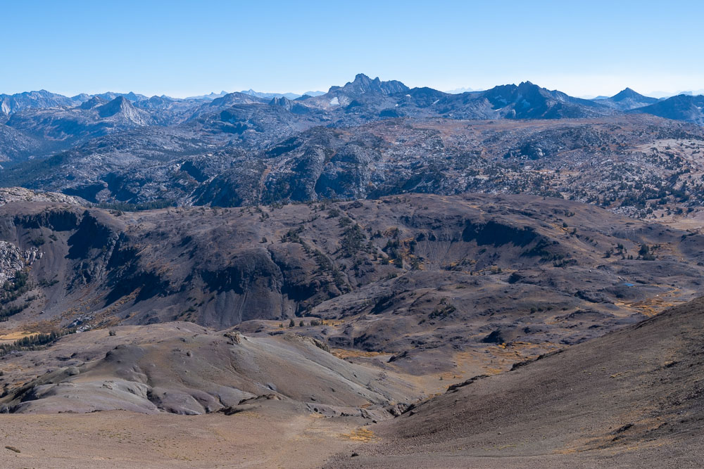
Big Sam to the west.
View back to Kennedy Lake from the summit of Peak 10833.
Leavitt Peak (left) and other Sonora Pass peaks.
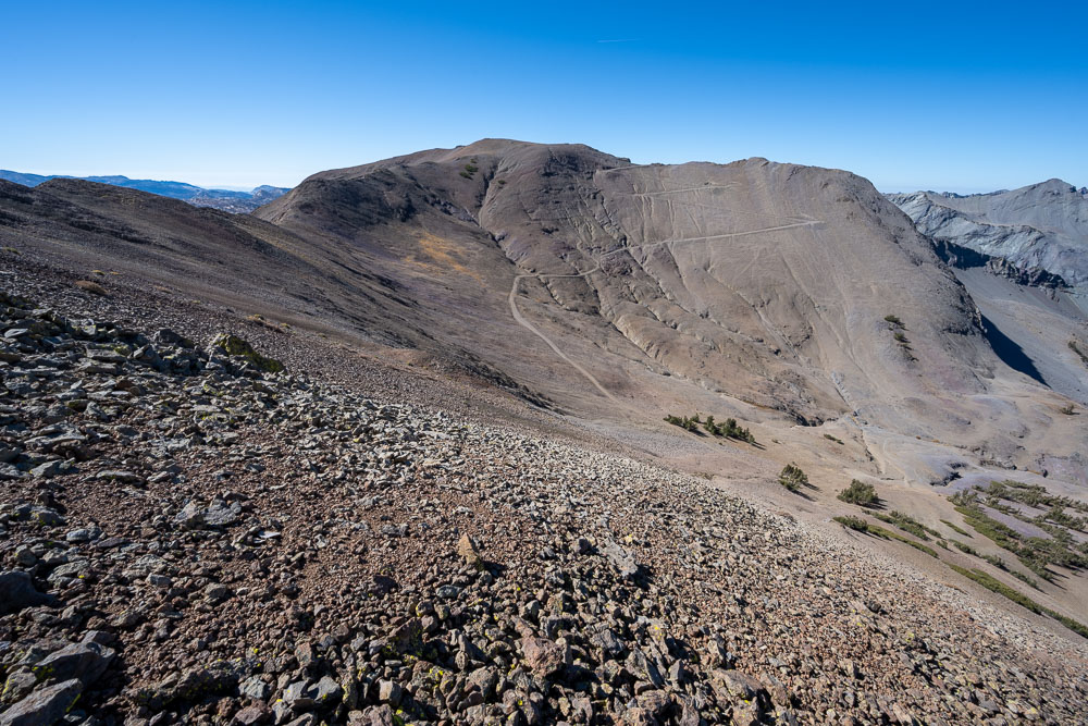
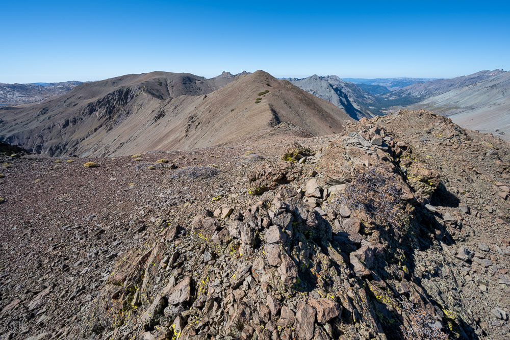
Big Sam to the west.
Following the ridge to Big Sam.
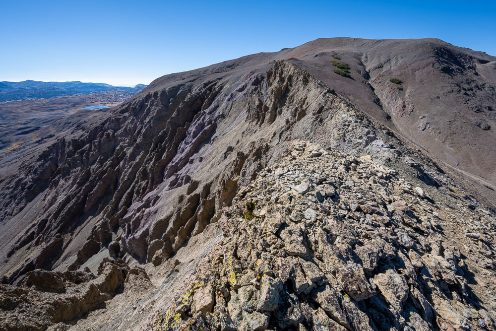
View back to Peak 10833.
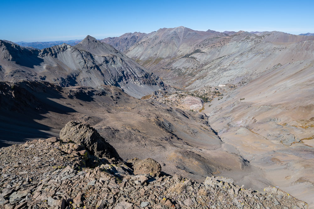
Emigrant Meadow Lake to the southwest.
Tower Peak in the distance to the south.
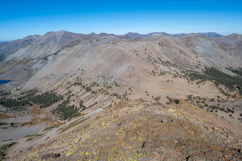
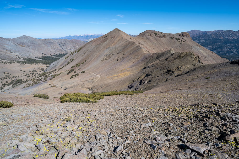
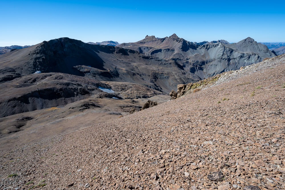
Peak 10612 (left), Molo Mountain (center), and Kennedy Peak (right).
Eroded volcanic cliff on the way to Peak 10612.
Peak 10612.
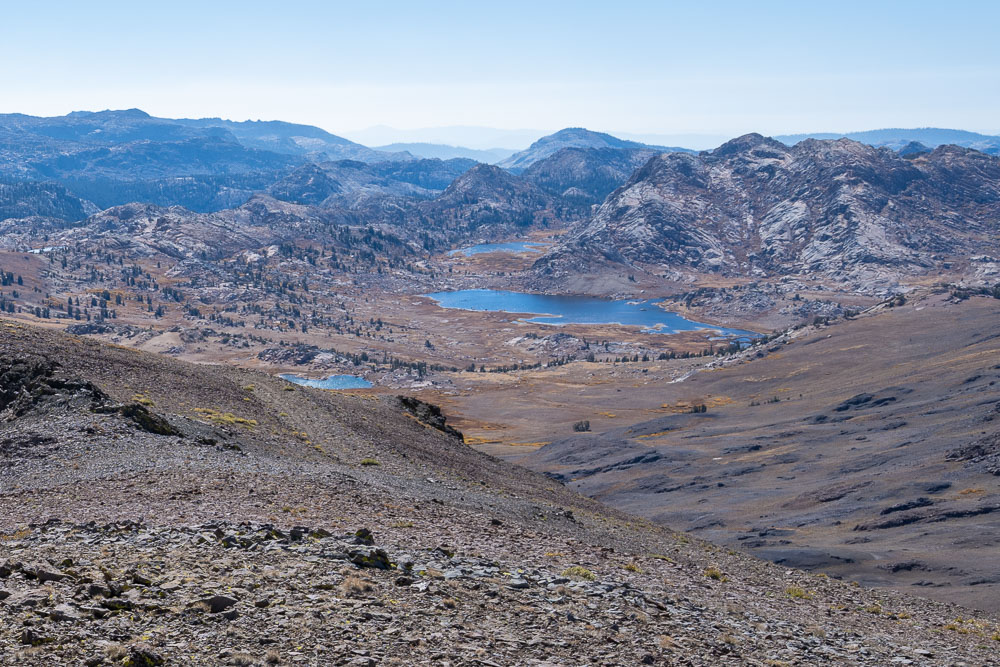
Grizzly Peak (left) and High Emigrant Lake.
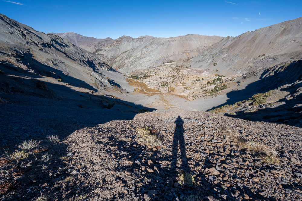
View down the Lost Lake drainage, which I followed back to Kennedy Lake.
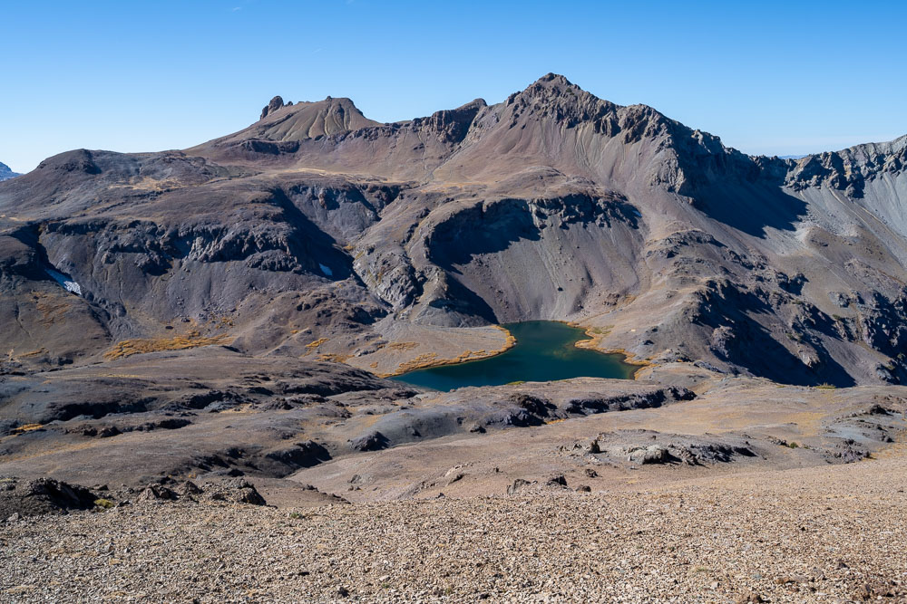
Lost Lake and Molo Mountain.
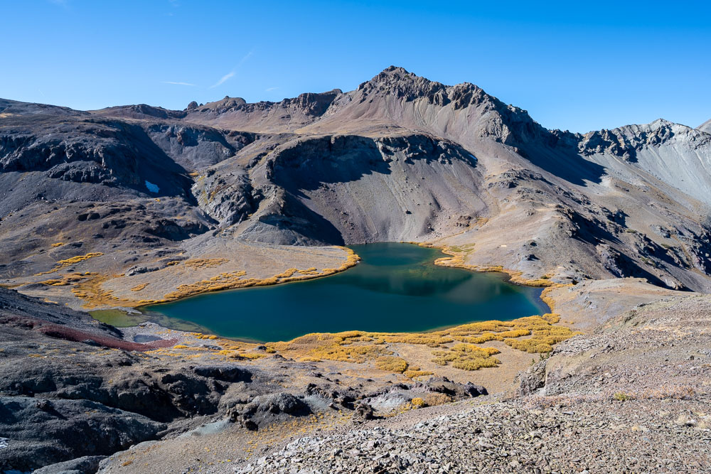
Approaching Lost Lake.
Down at the lake.
Following the shoreline.
Taking a break before starting down the canyon.
I followed a deer trail for a ways before taking a more direct route down to the bottom.
Class 3 section on the way down.
View back to the slope I came down. Lost Lake is just over the low point in the ridge.