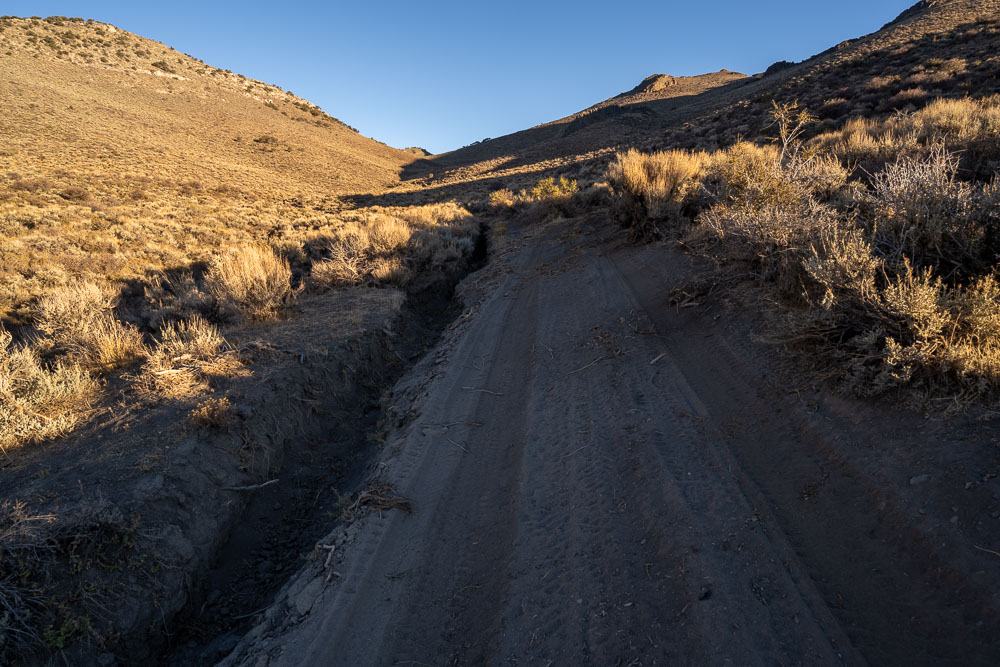
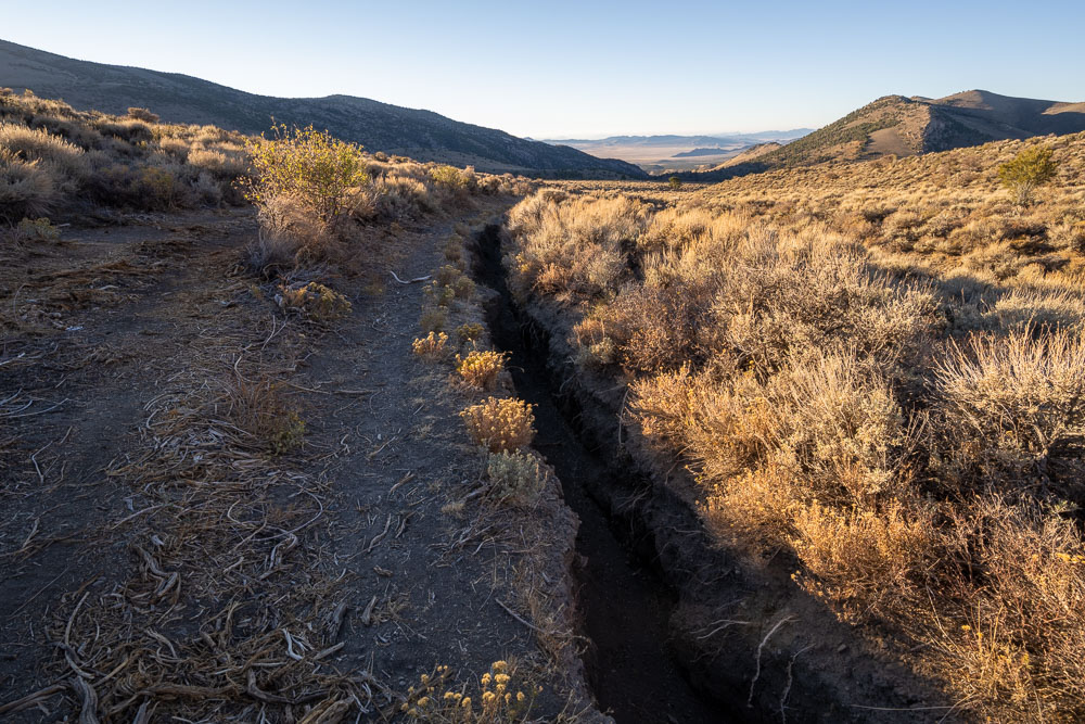
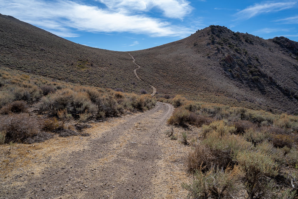
There is a deep rut that has formed near the edge of the 4WD road just above Poison Spring. A new track has been cut into the bush to make this section driveable, but it is still pretty treacherous. I made it up okay, but slipped sideways in loose dirt on the way down and nearly went into the ditch. The ditch is over 5ft deep in places and it would be very difficult to get out of.
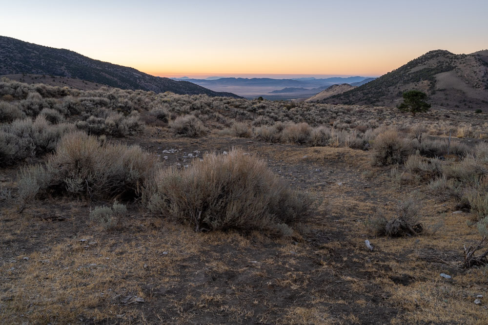
Another view of the deep rut. The new road cut is on the left. The start/end of the washout is marked on the map. Parking at Poison Spring adds about 3 miles round trip.
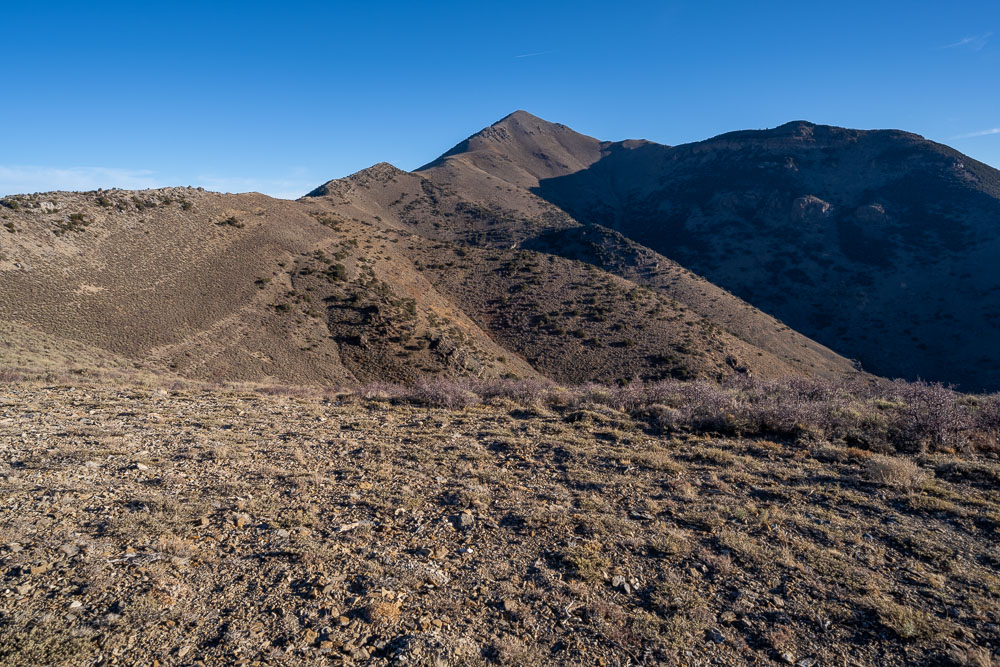
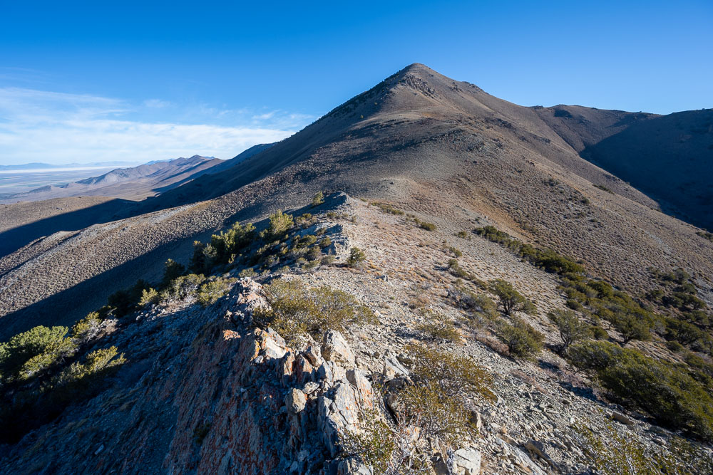
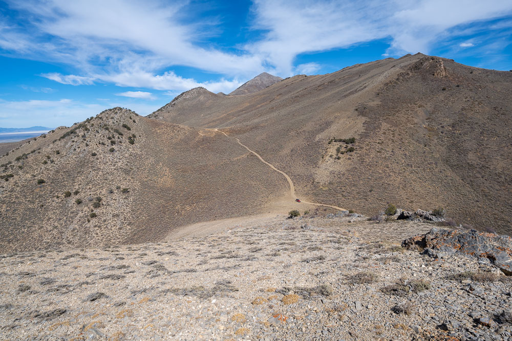
Diamond Peak from where I parked at the end of the 4WD road.
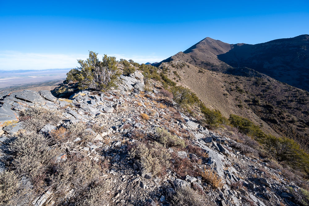
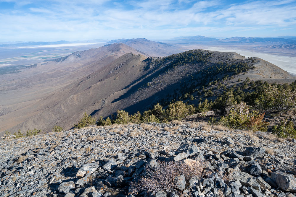
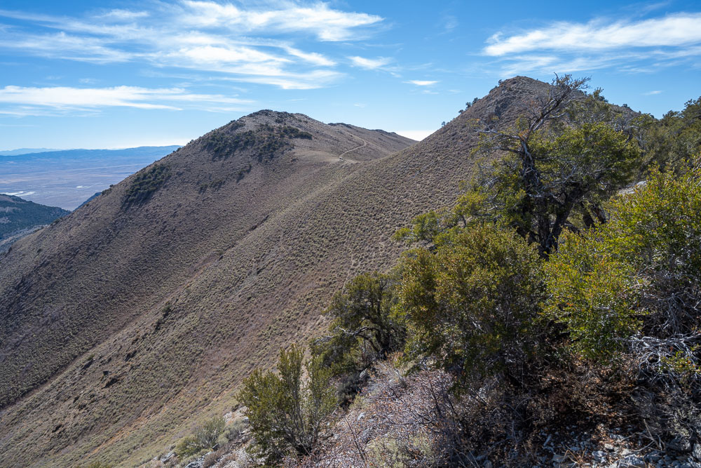
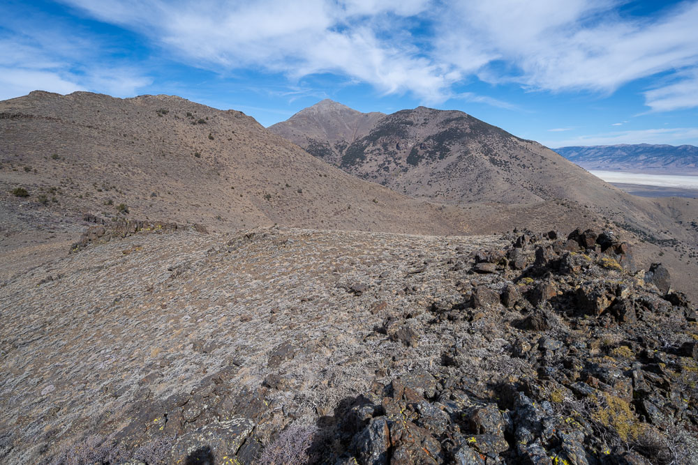
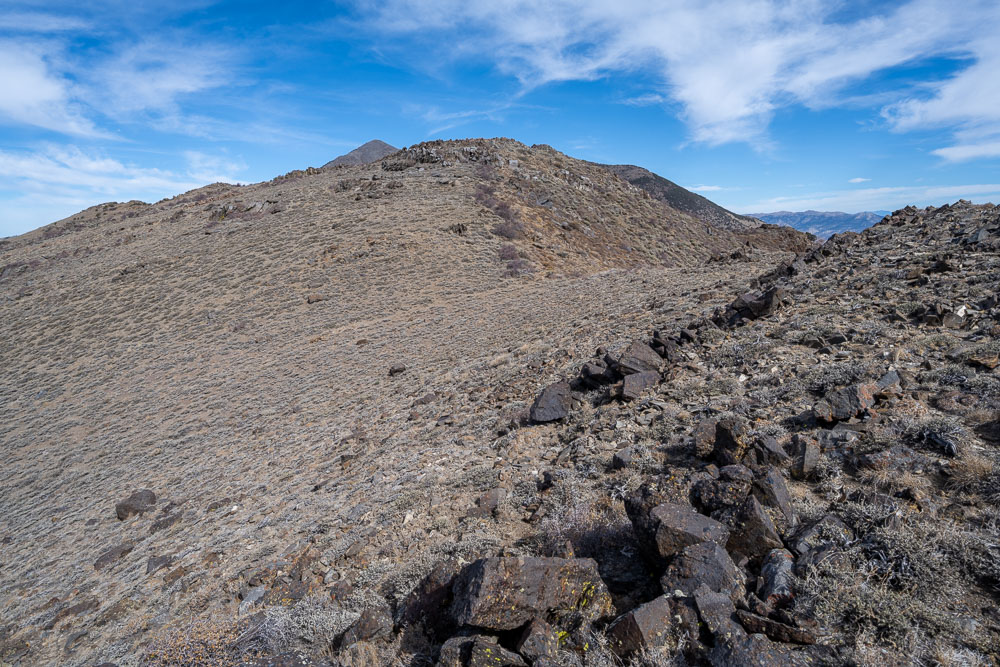
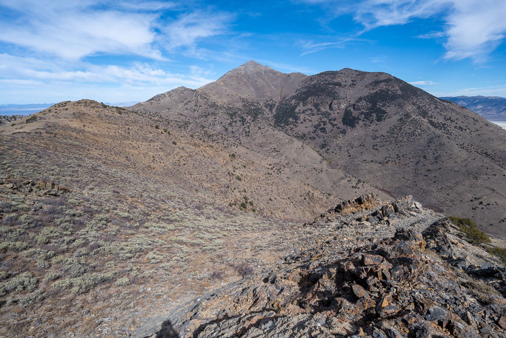
Following the ridge to Diamond Peak.
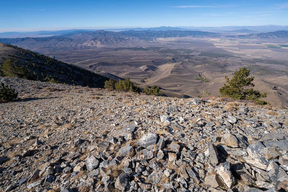
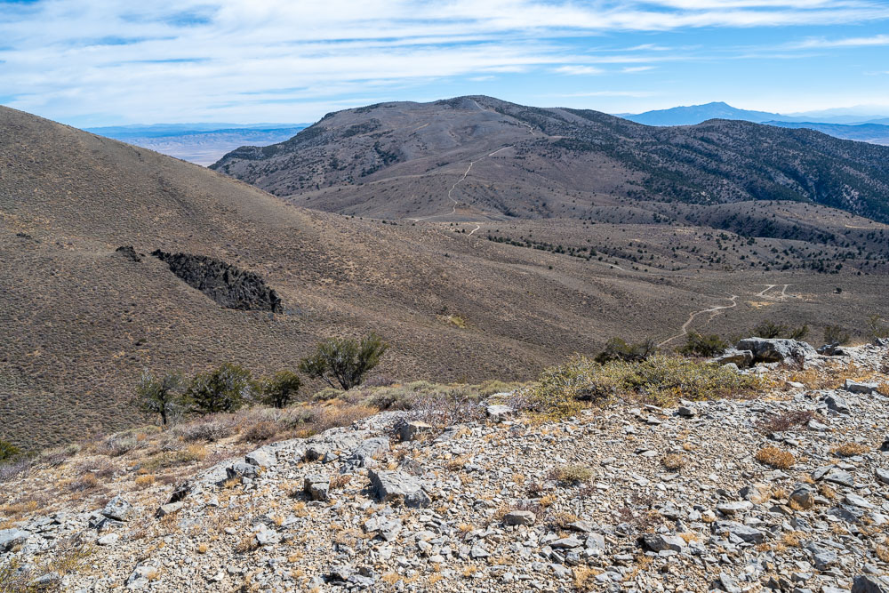
View back to where I parked at the low saddle.
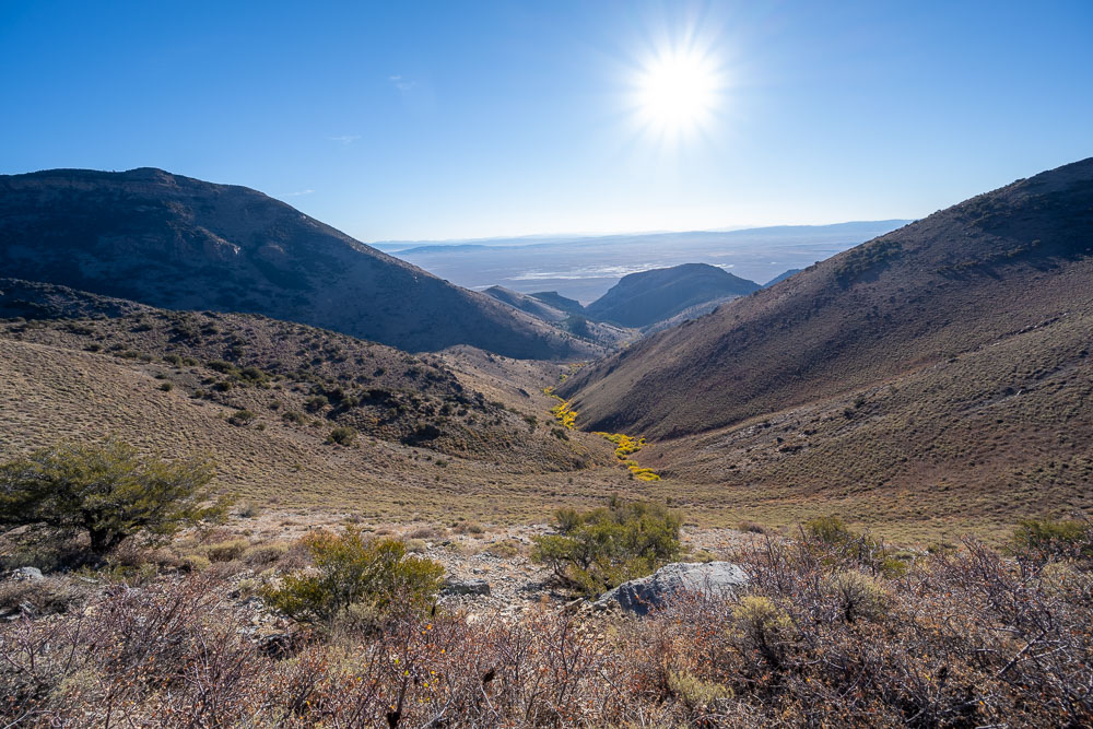
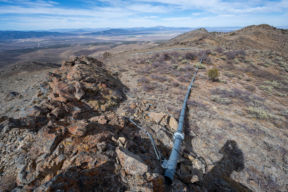
Water Canyon to the east.
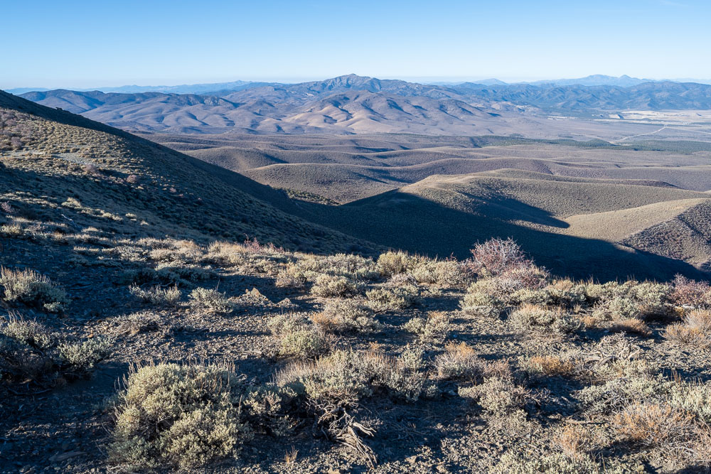
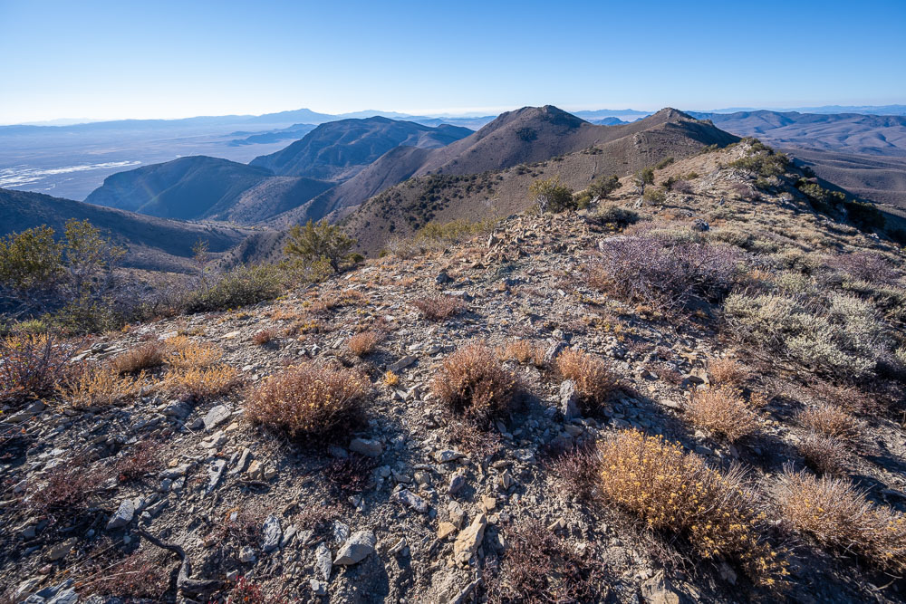
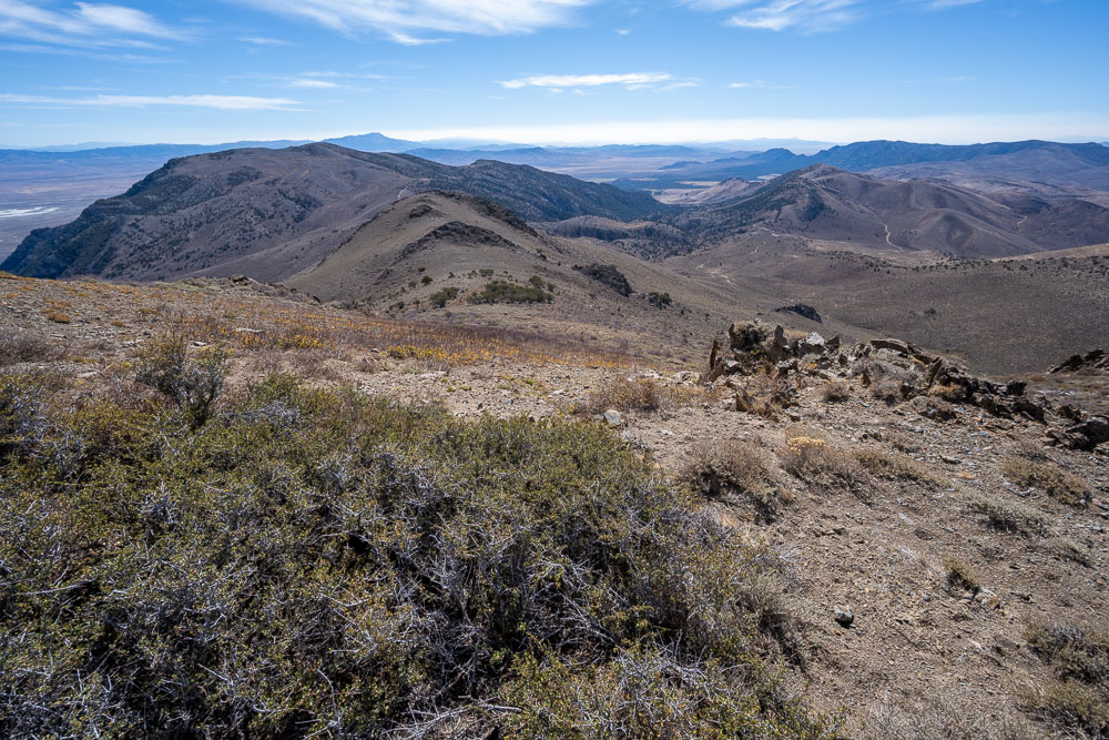
View southwest from the ridge toward the town of Eureka.
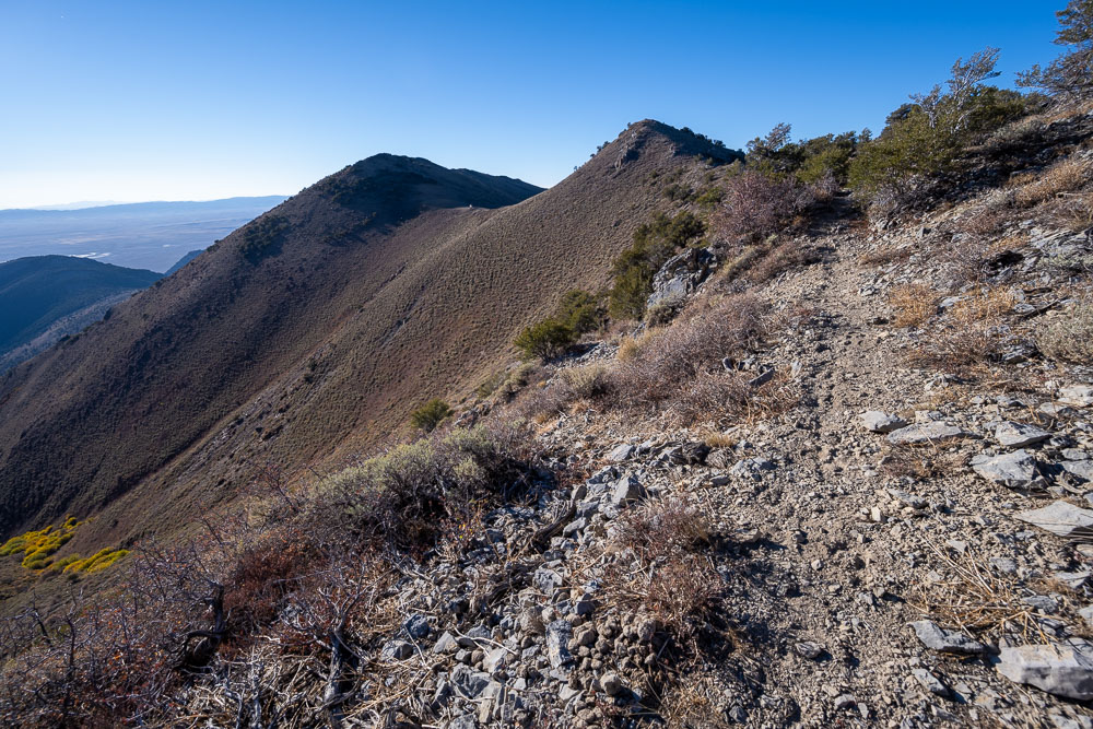
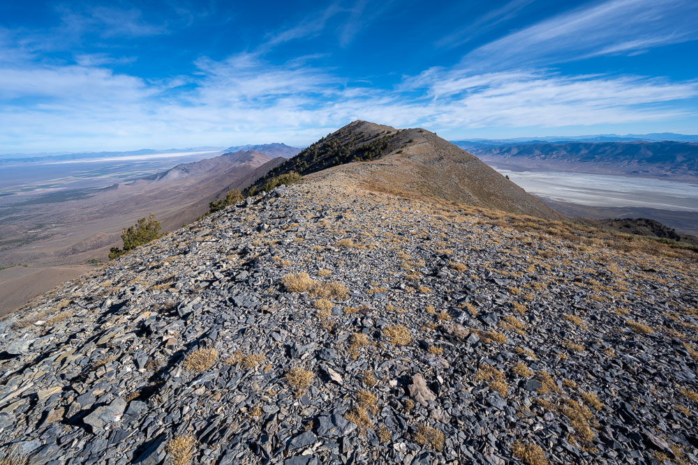
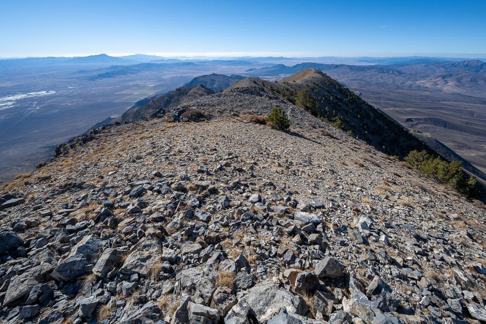
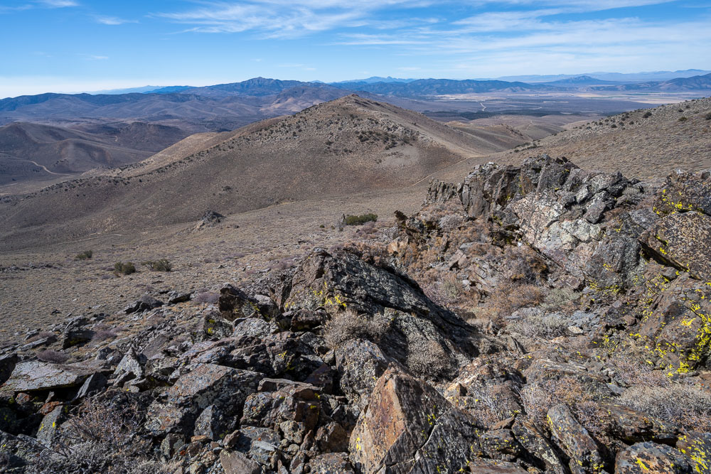
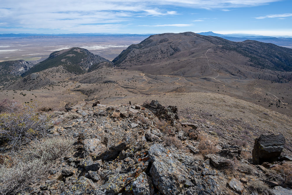
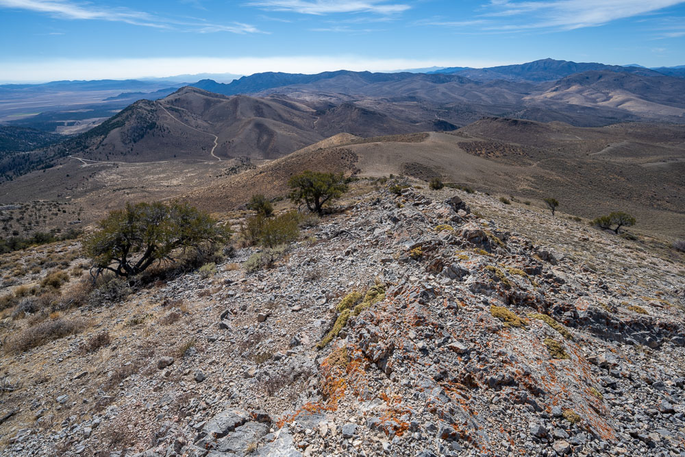
View back along the ridge.
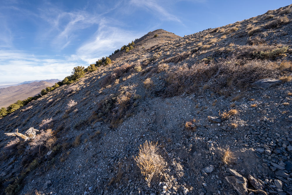
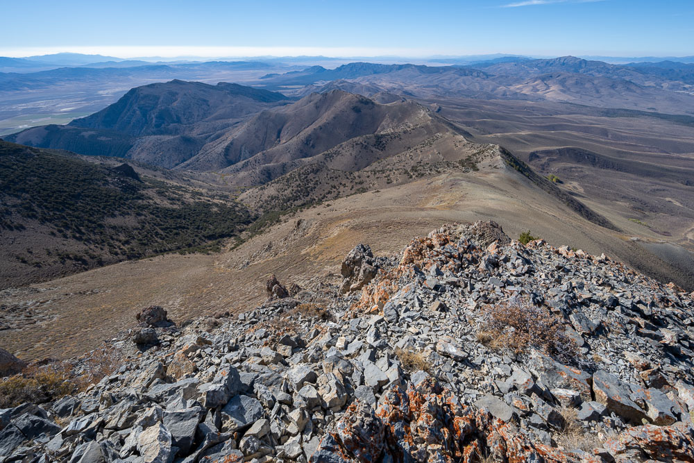
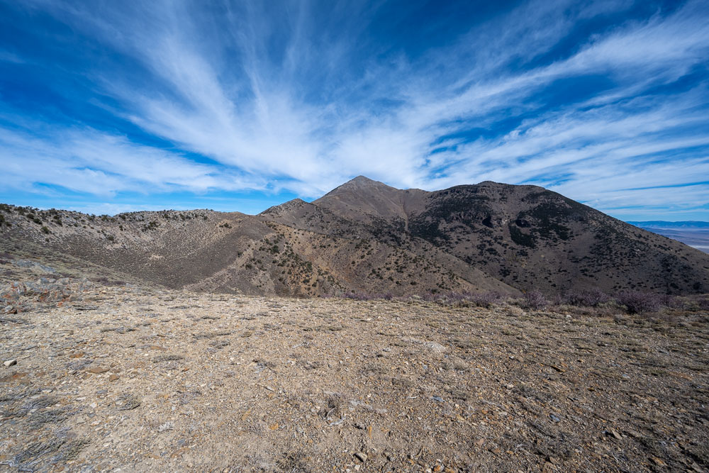
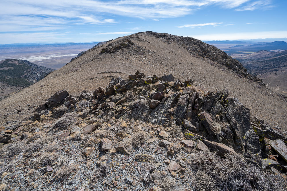
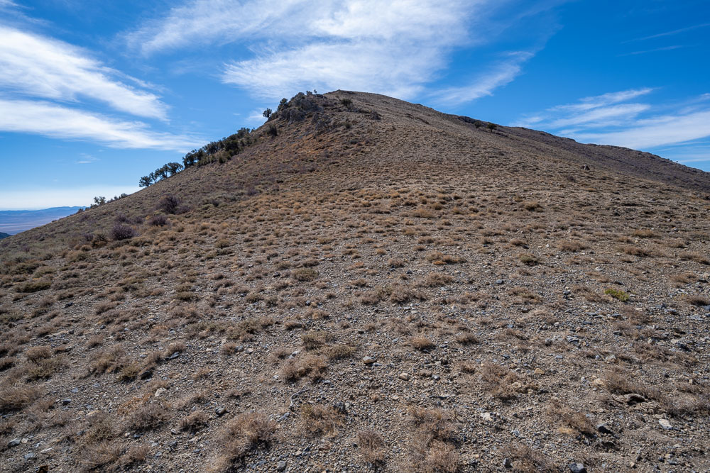
Approaching Diamond Peak. This turned out to be a false summit.