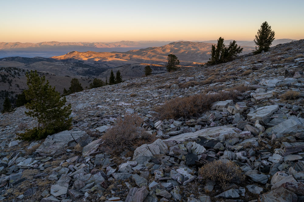
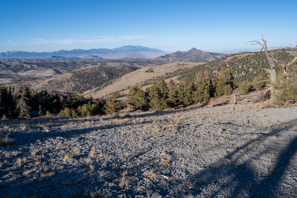
Sunrise on the Mount Moriah Wilderness. I started up the trail a little before sunrise and was startled to hear some loud elk calls in the forest not far from the trail.
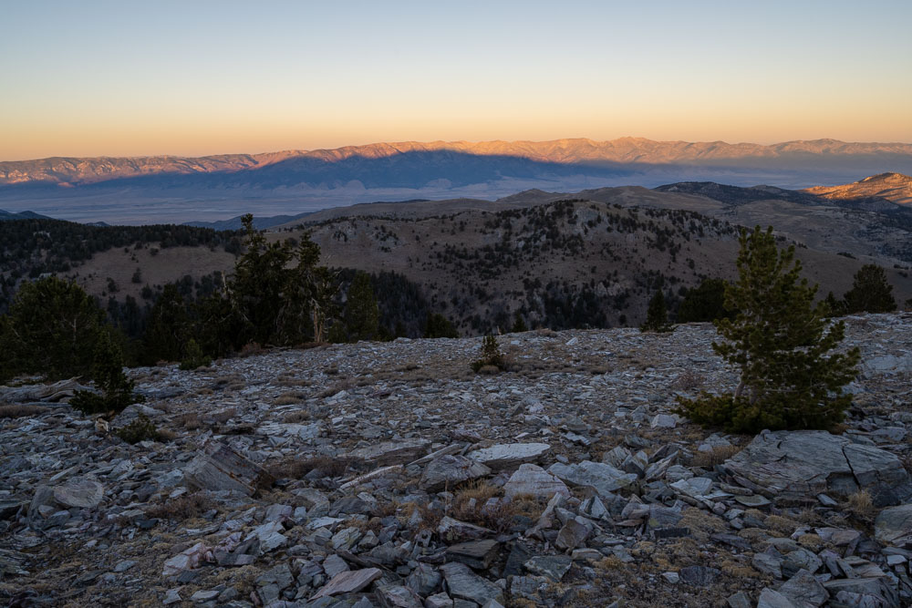
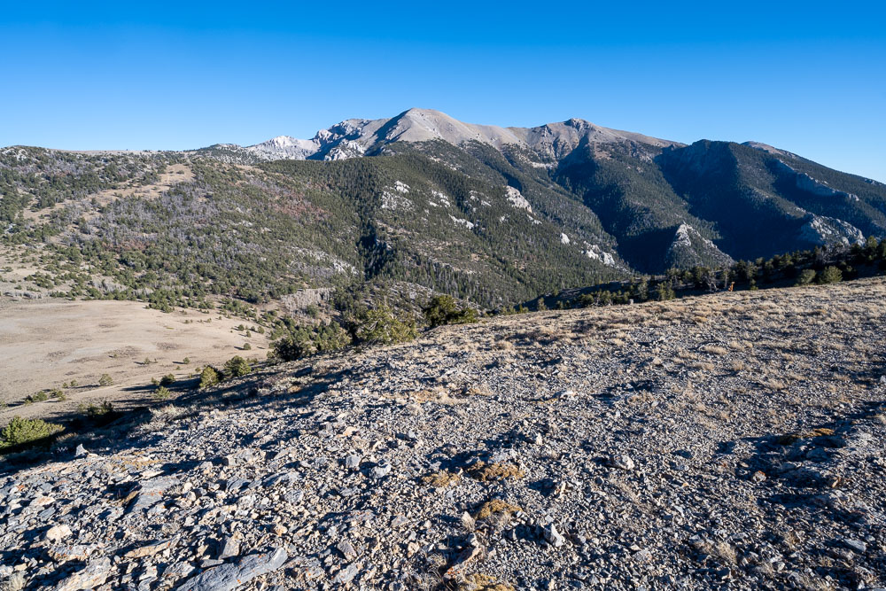
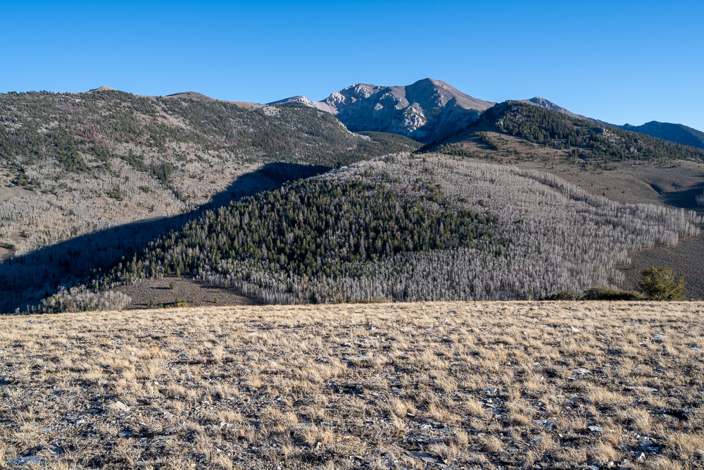
Sunrise on the Schell Creek Range. I had traversed a portion of this ridge the previous day on a loop hike to North Schell.
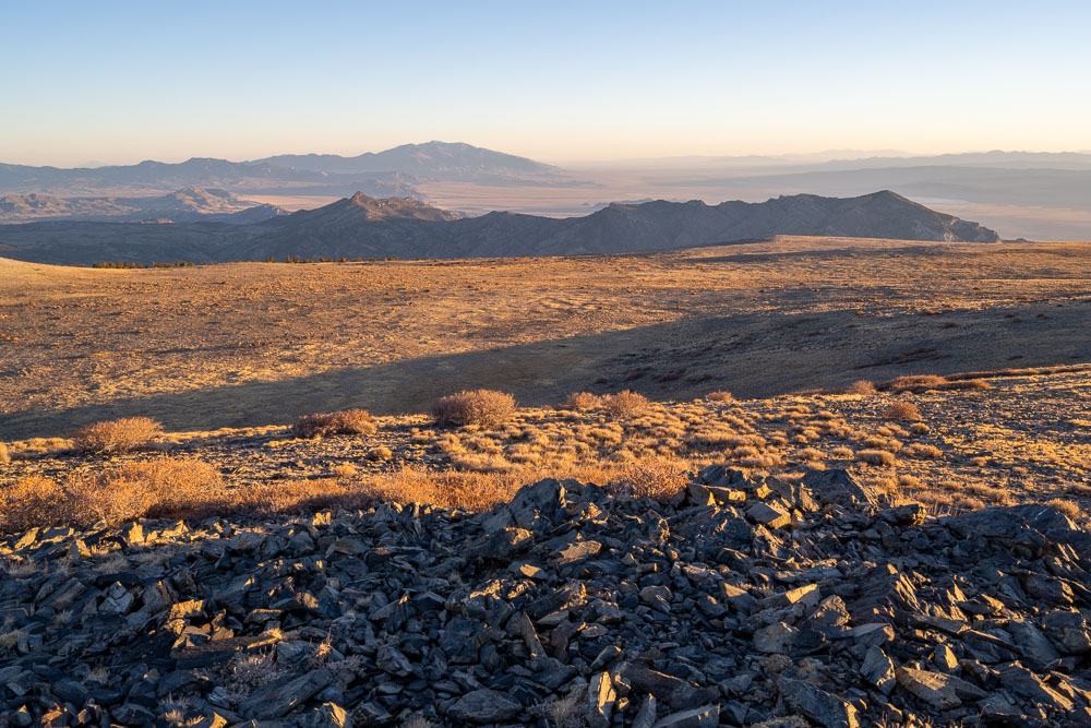
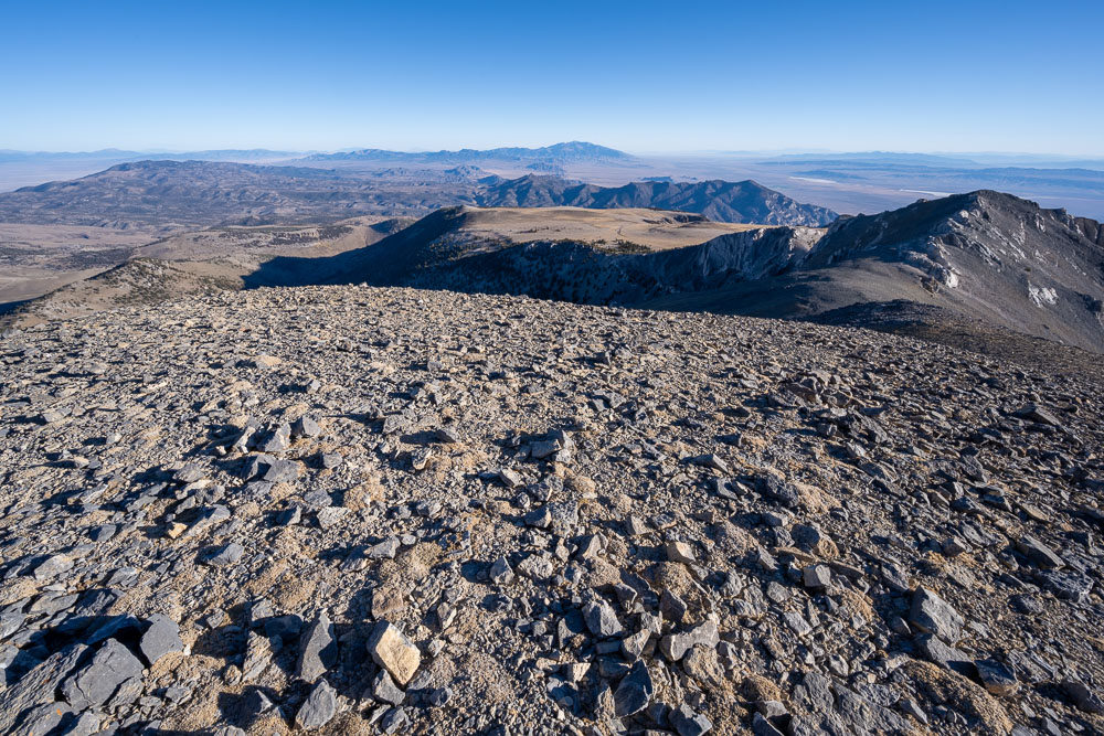
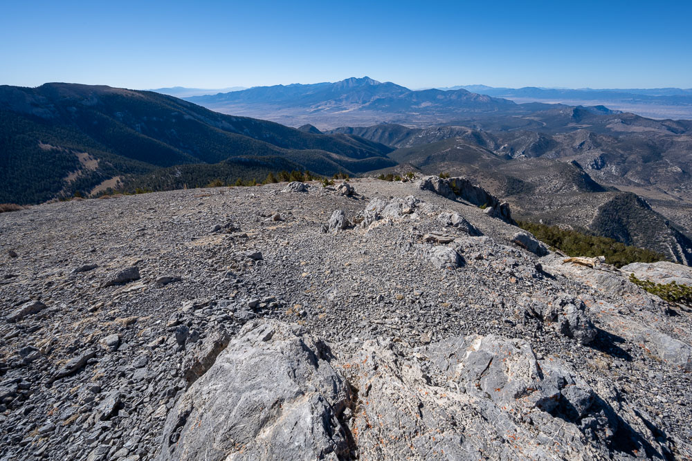
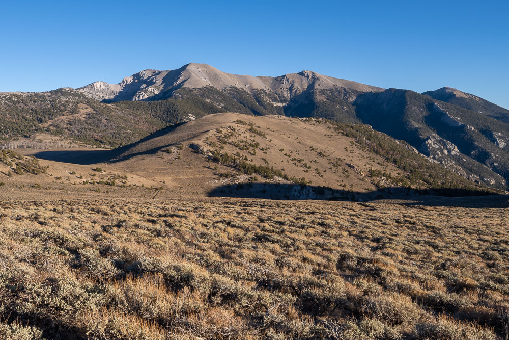
Mount Moriah to the south.
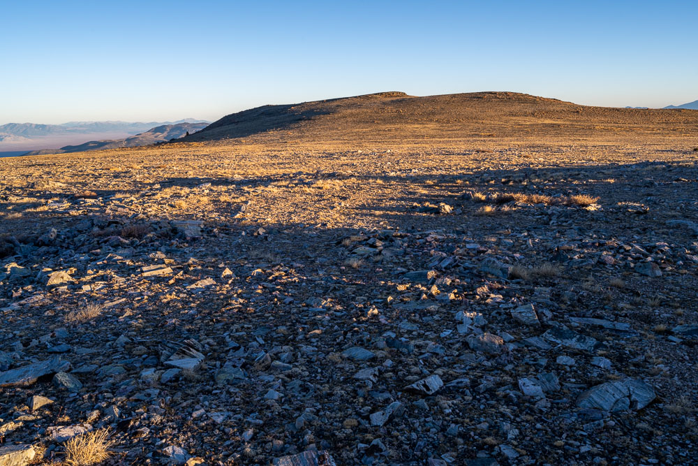
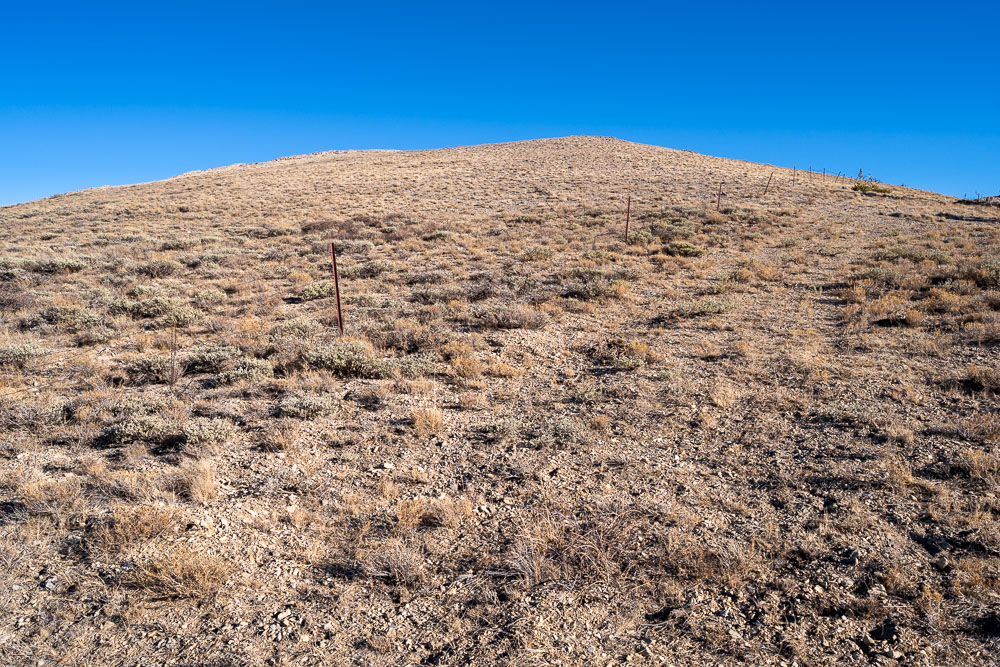
Approaching the highpoint of The Table, a flat expanse on the north side of Mount Moriah.
Sunrise on Ibapah Peak to the north. There were a dozen deer grazing on the plateau below me.
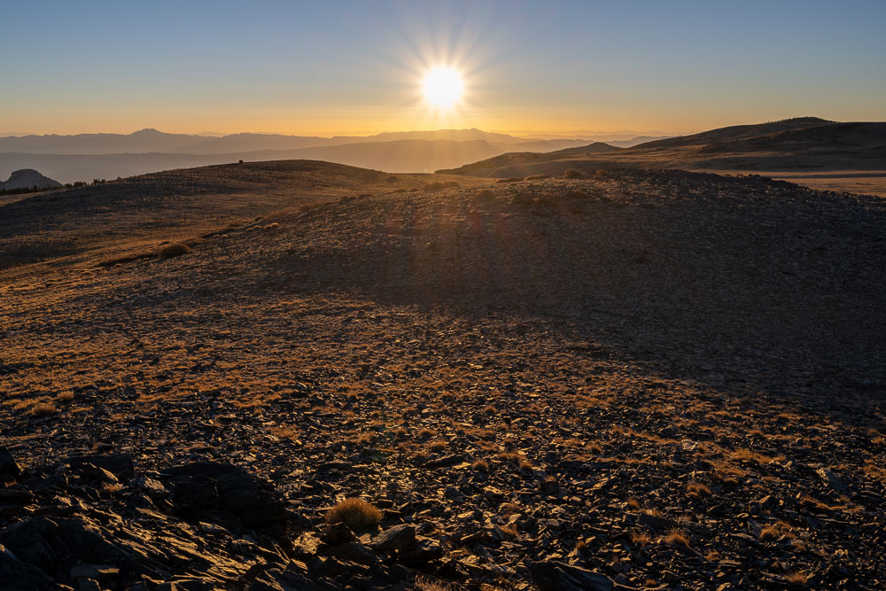
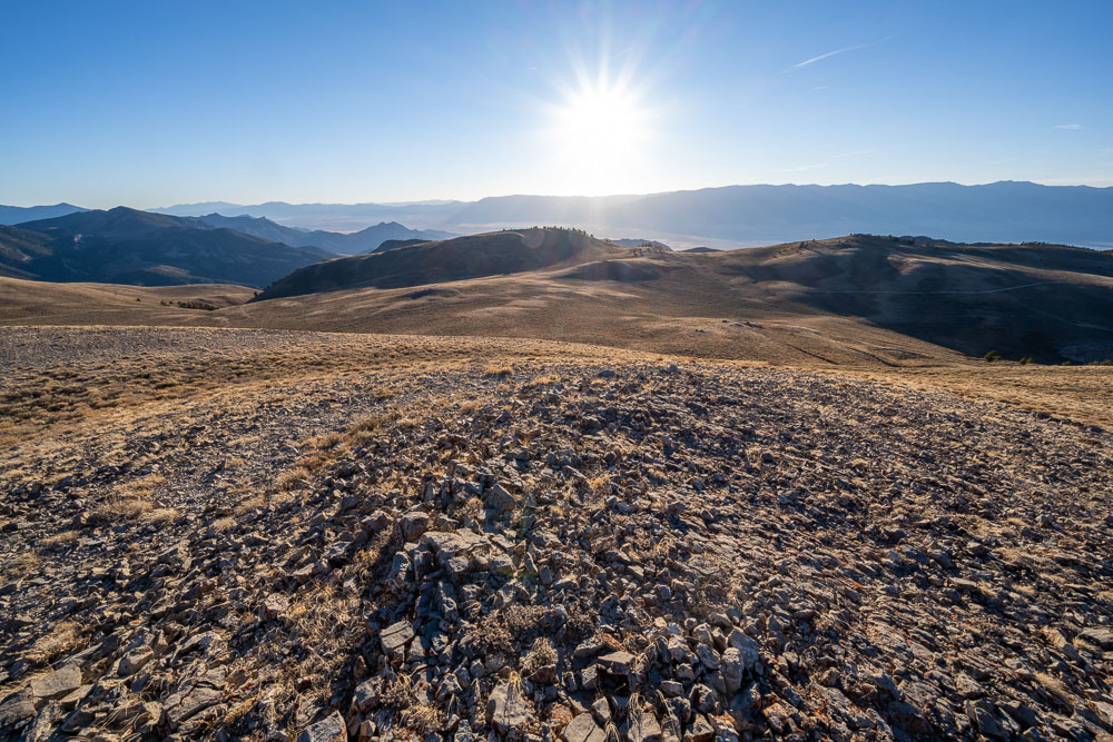
Watching the sunrise from The Table.
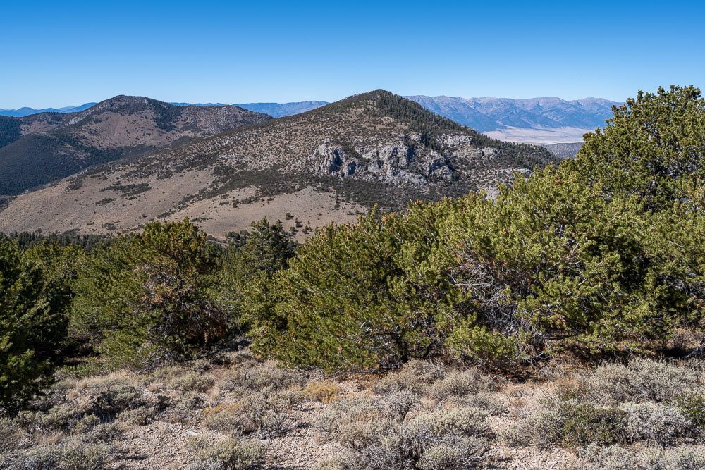
Mount Moriah to the south.
Enjoying the sunrise. O’Neal Peak in the distance, a remote P1K.
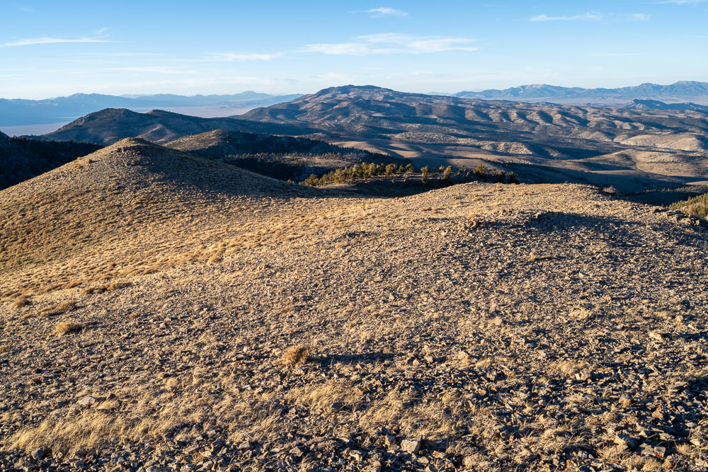
View back to the highpoint of The Table.
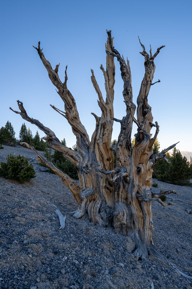
Lone bristlecone pine. These trees can grow to be over 5,000 years old.
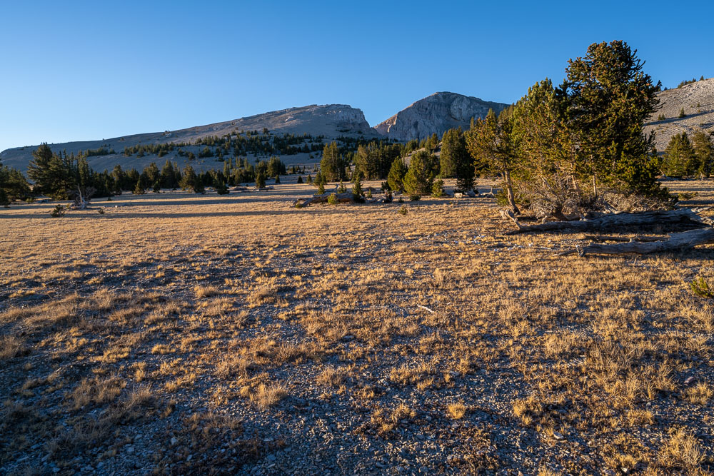
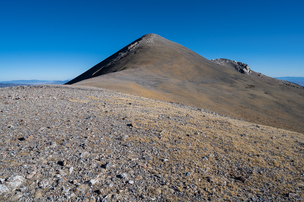
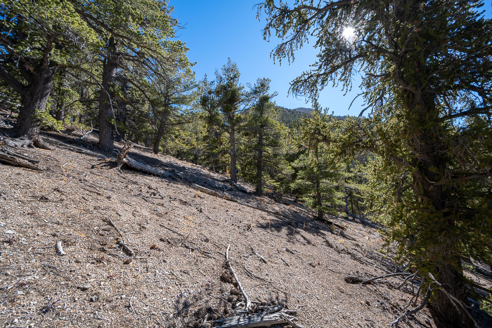
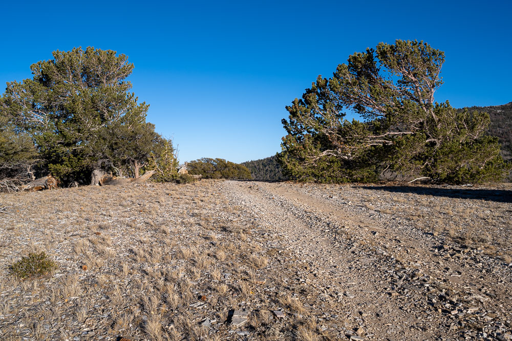
Heading for Mount Moriah.
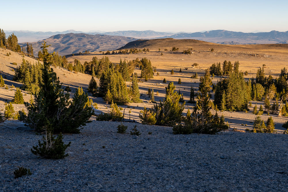
Another view of The Table.
Ancient bristlecone pine on the way to Mount Moriah.
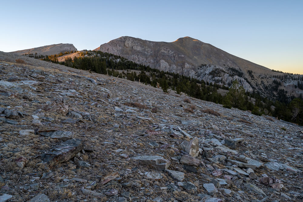
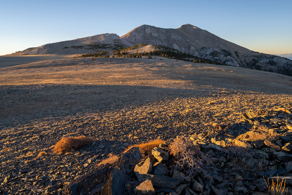
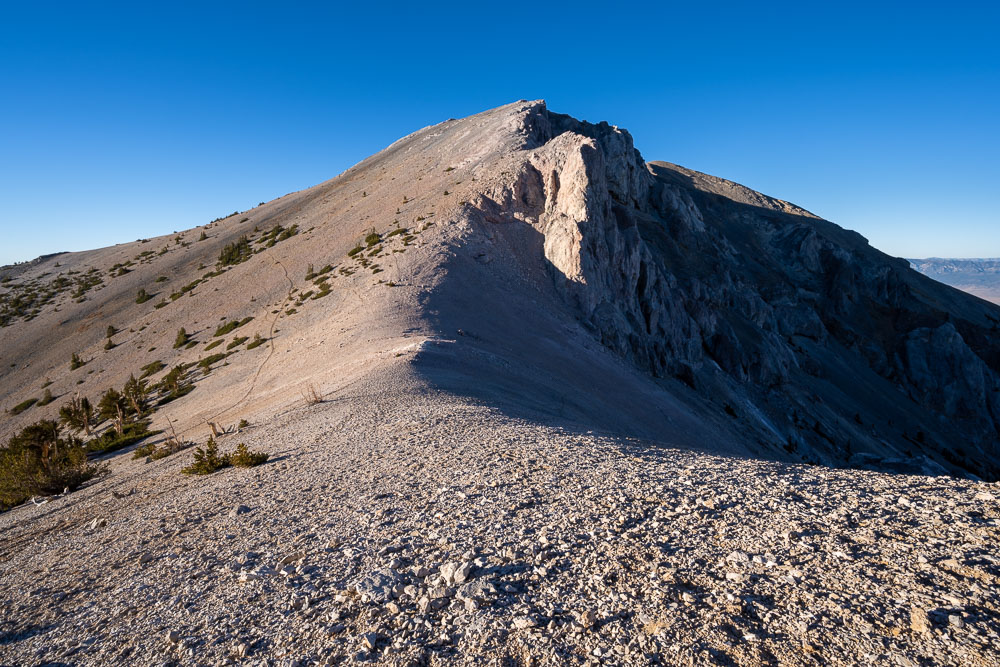
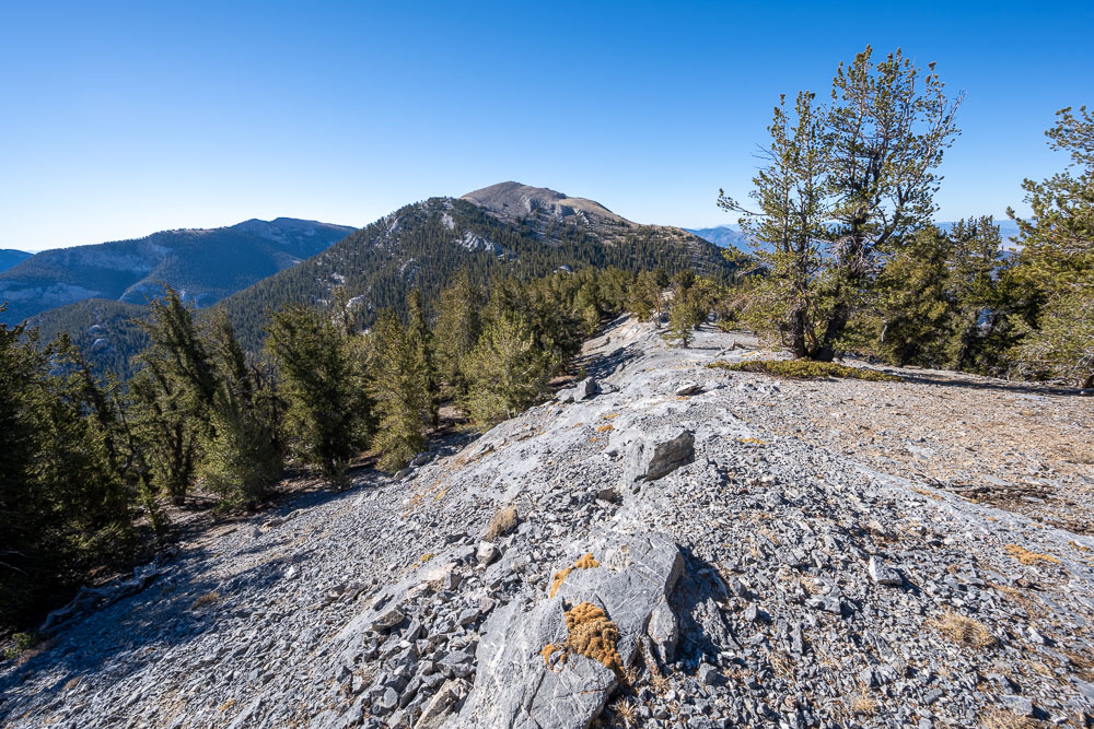
Approaching Mount Moriah.
Summit of Mount Moriah ahead.
Peak 11064 (left) and Peak 11450 (right), two of the more remote Nevada 11er’s.
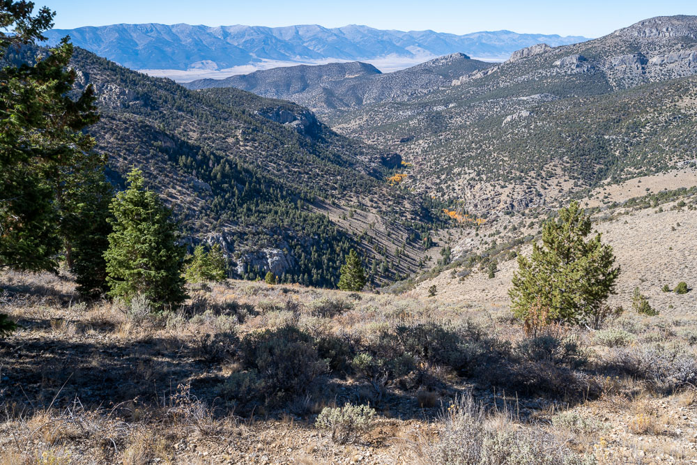
View southwest to some of the remote peaks in the Mount Moriah Wilderness. My route looped through a small portion of this later in the afternoon.
The Table and Ibapah Peak to the north.
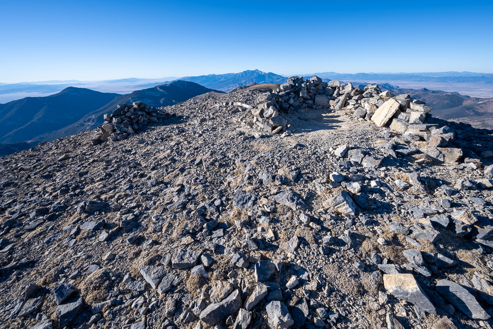
Rock shelter at the summit of Mount Moriah.
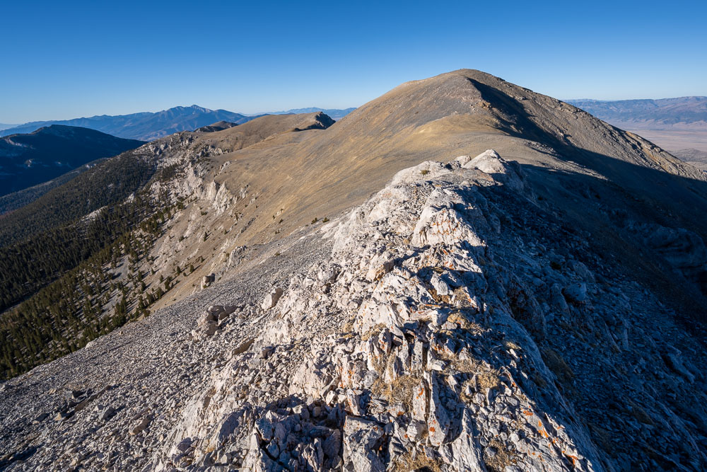
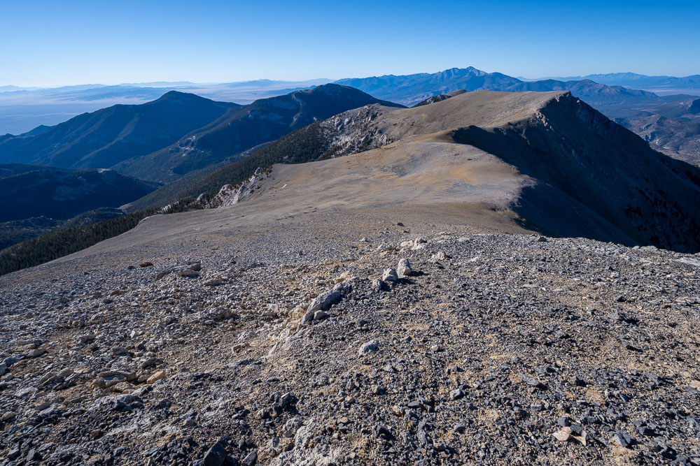
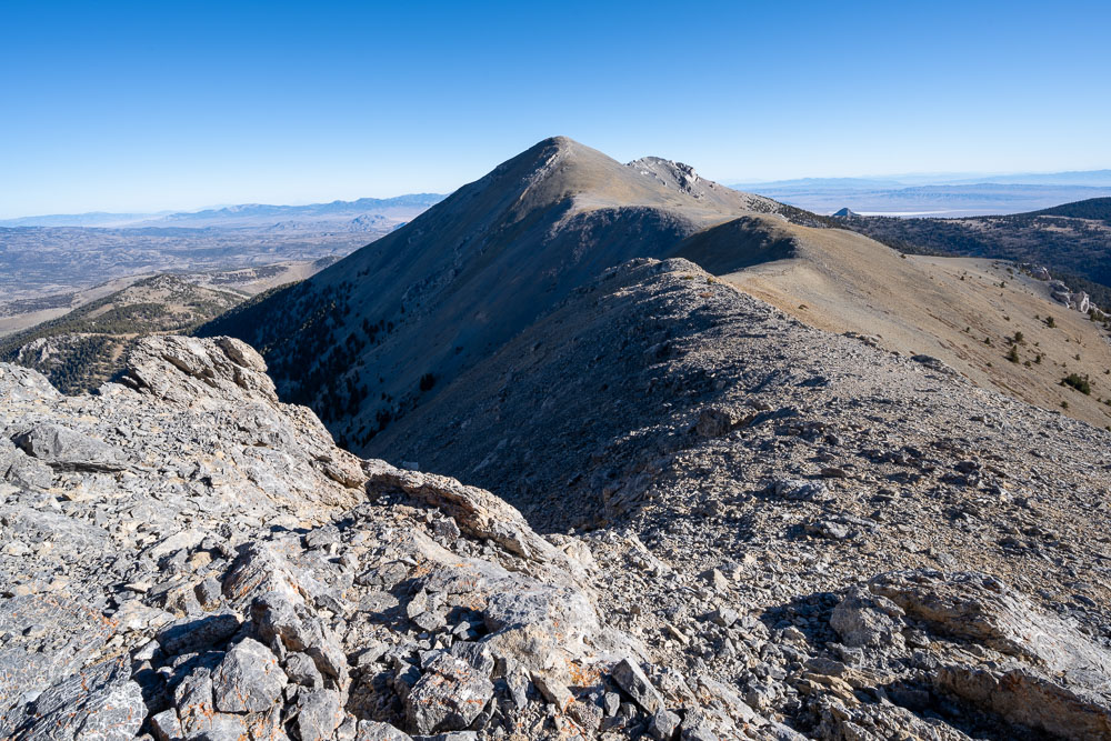
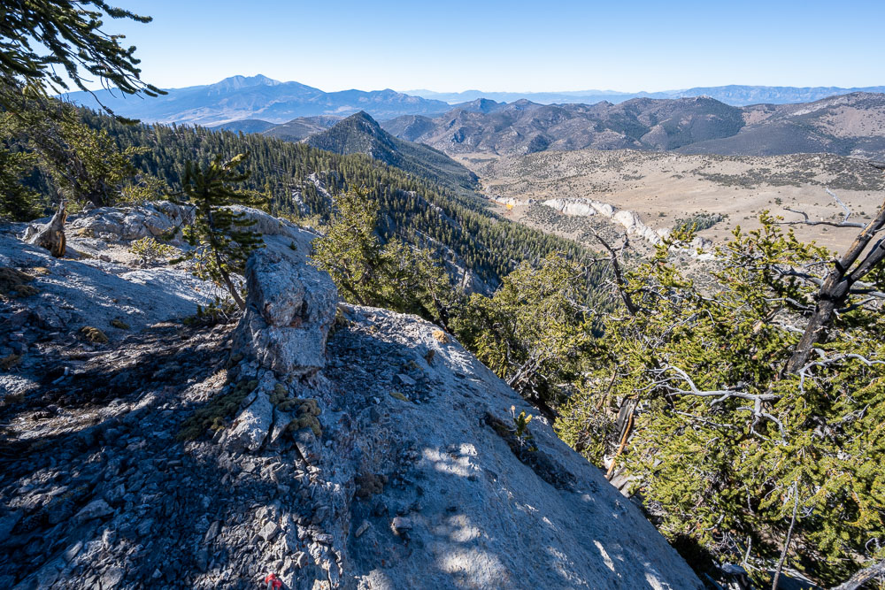
Continuing south along the ridge to Peak 11470.
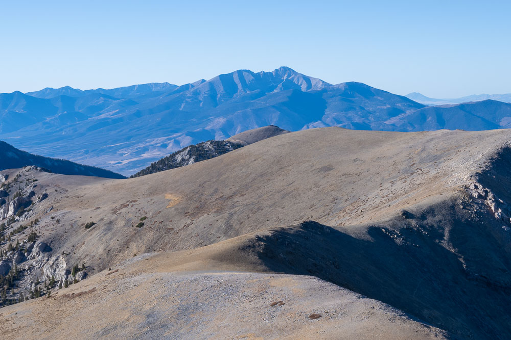
Wheeler Peak to the south, highpoint of Nevada.
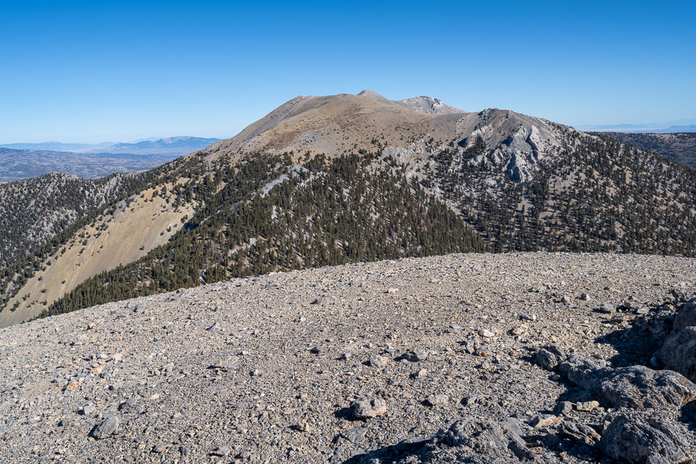
View back to Mount Moriah.
Mount Moriah from further along the ridge.
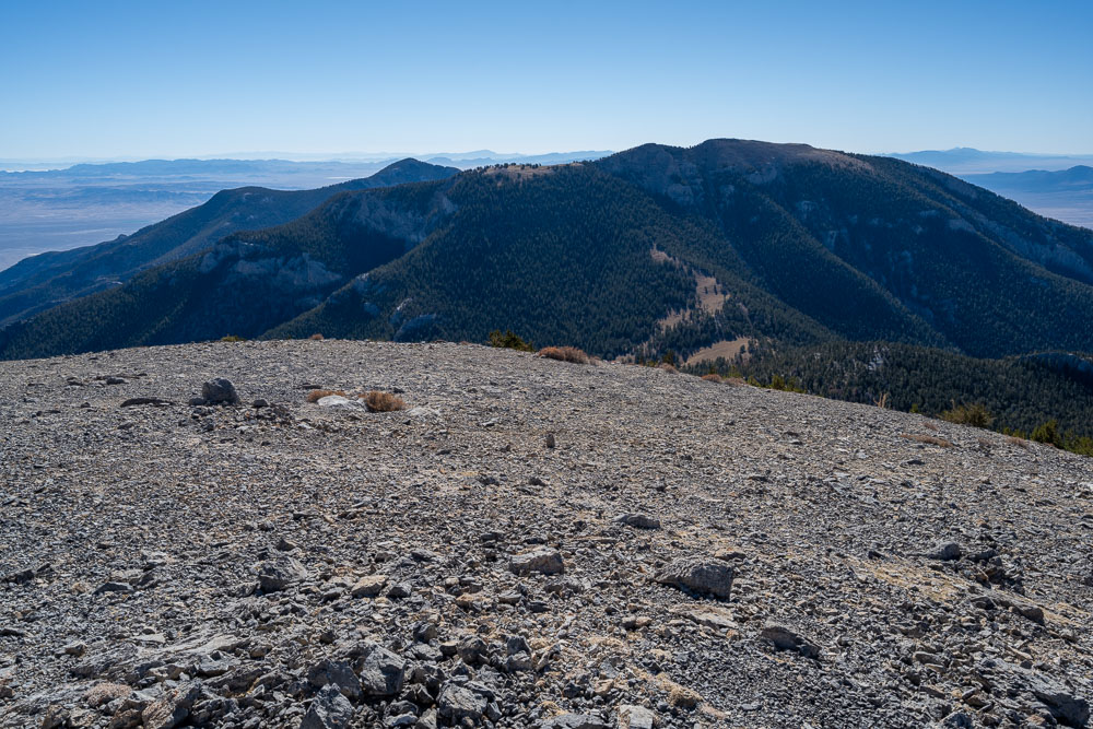
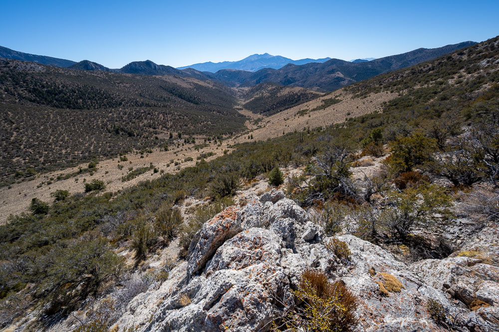
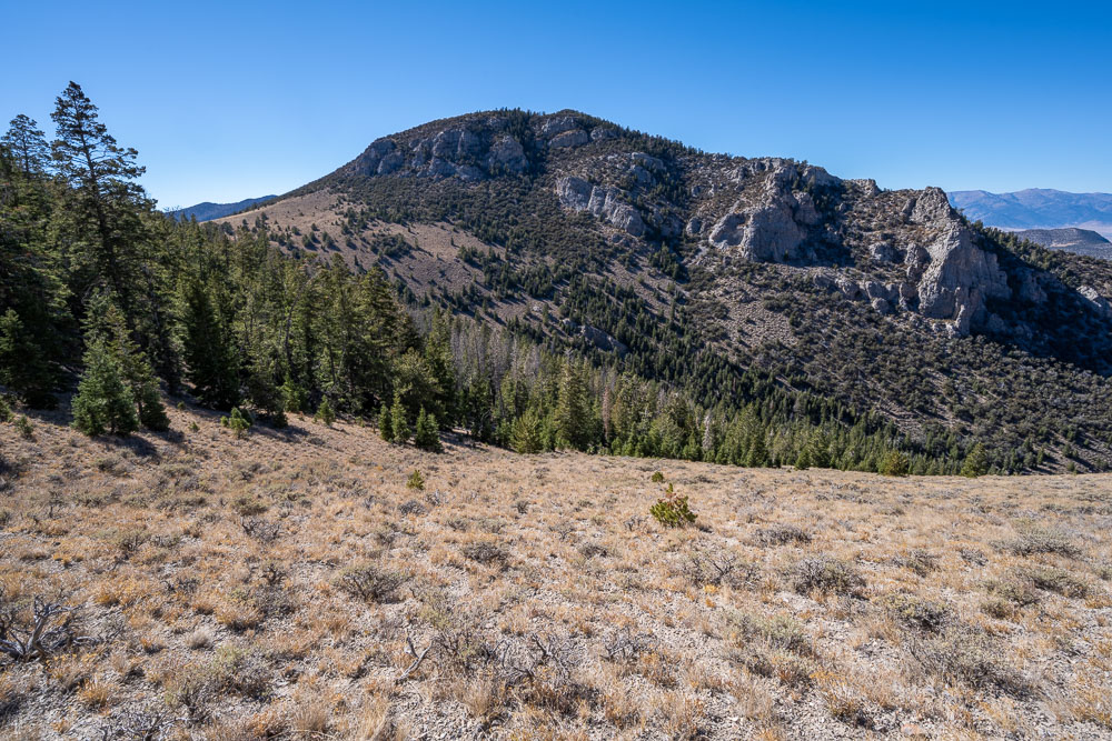
Peak 11470 to the south. After reaching the summit I descended the right skyline down to Silver Creek.
Peak 11064 (left) and Peak 11450 (right).
Continuing to Peak 11470.
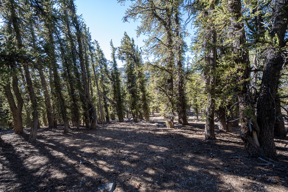
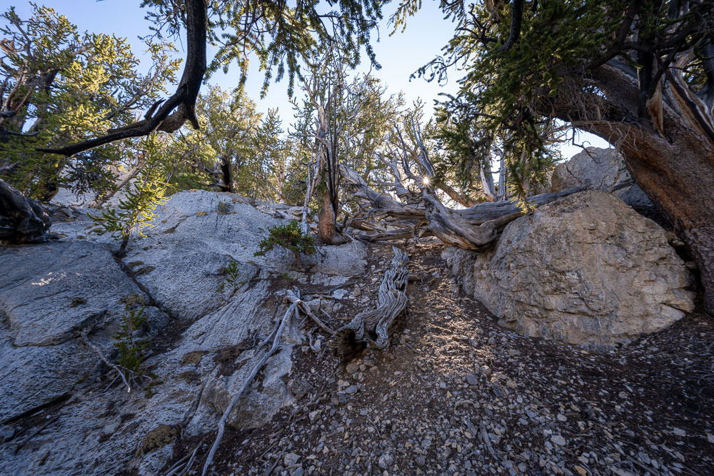
Easy travel through a bristlecone pine forest.
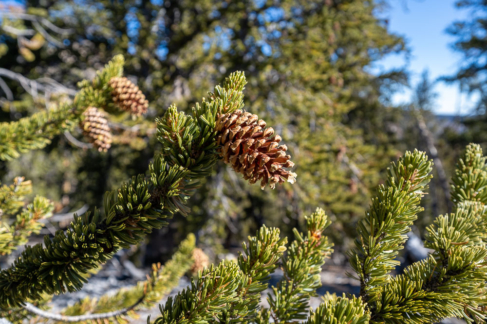
Pine cone from a bristlecone pine.
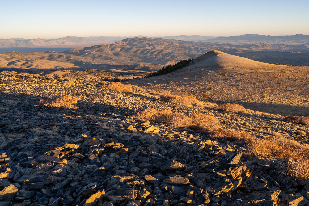
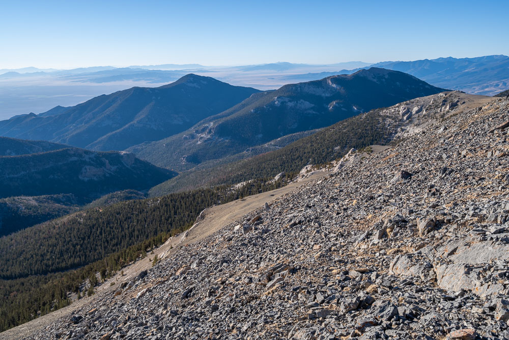
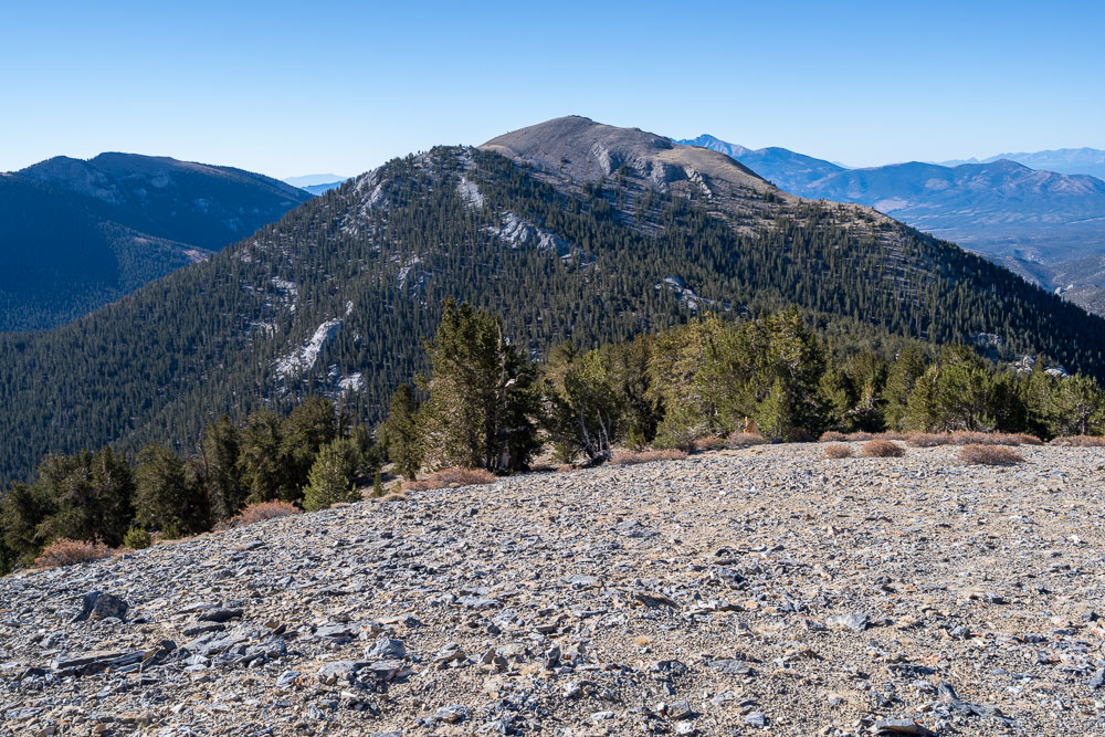
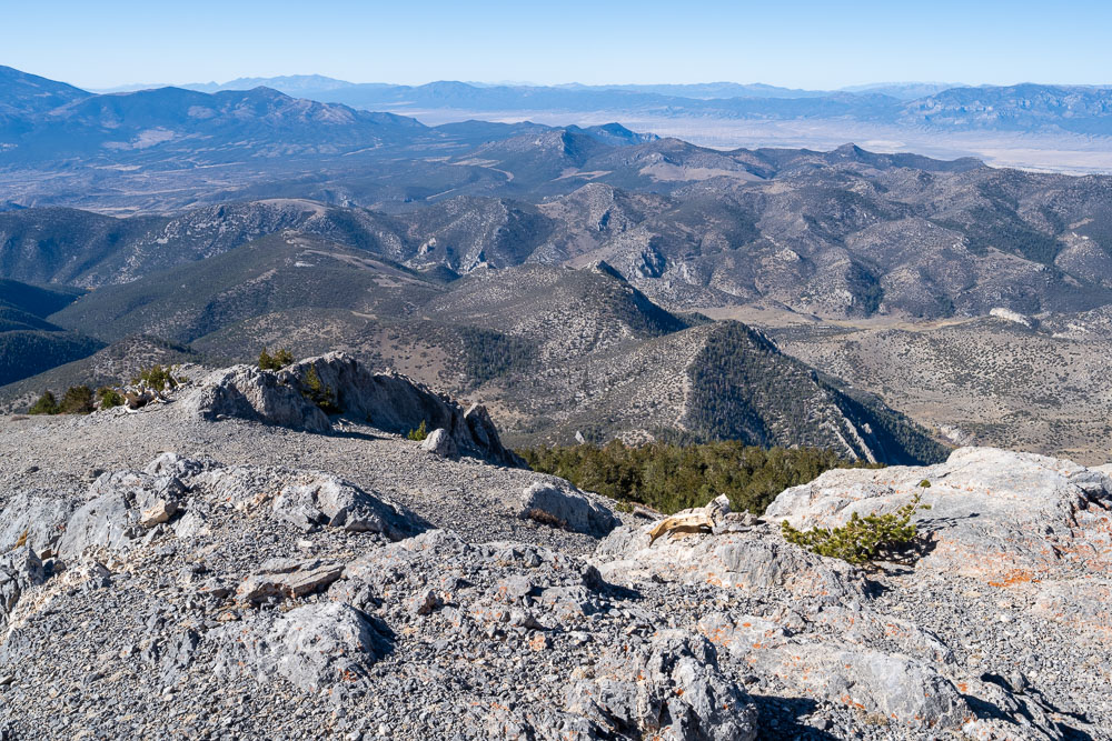
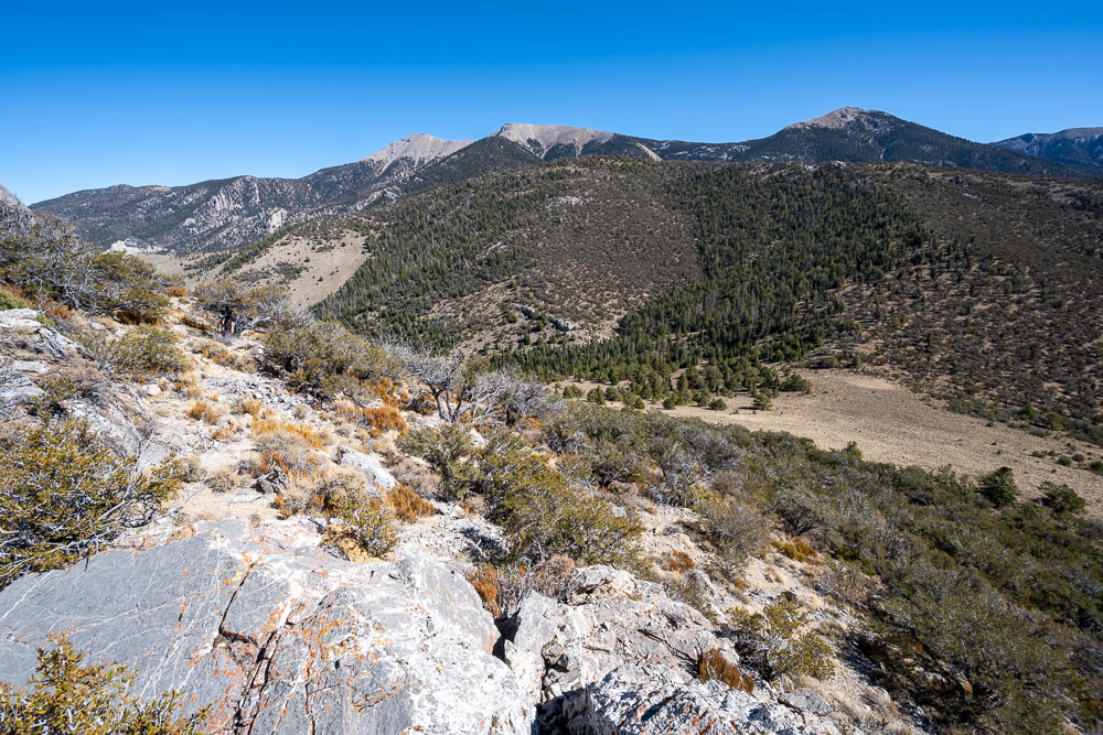
View north from the summit of Peak 11470.
Wheeler Peak to the south.
Remote peaks of the Mount Moriah Wilderness.
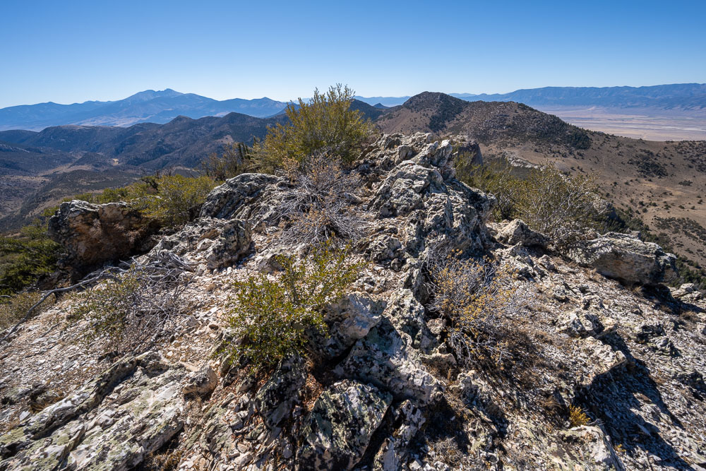
Peak 11450 to the southeast.
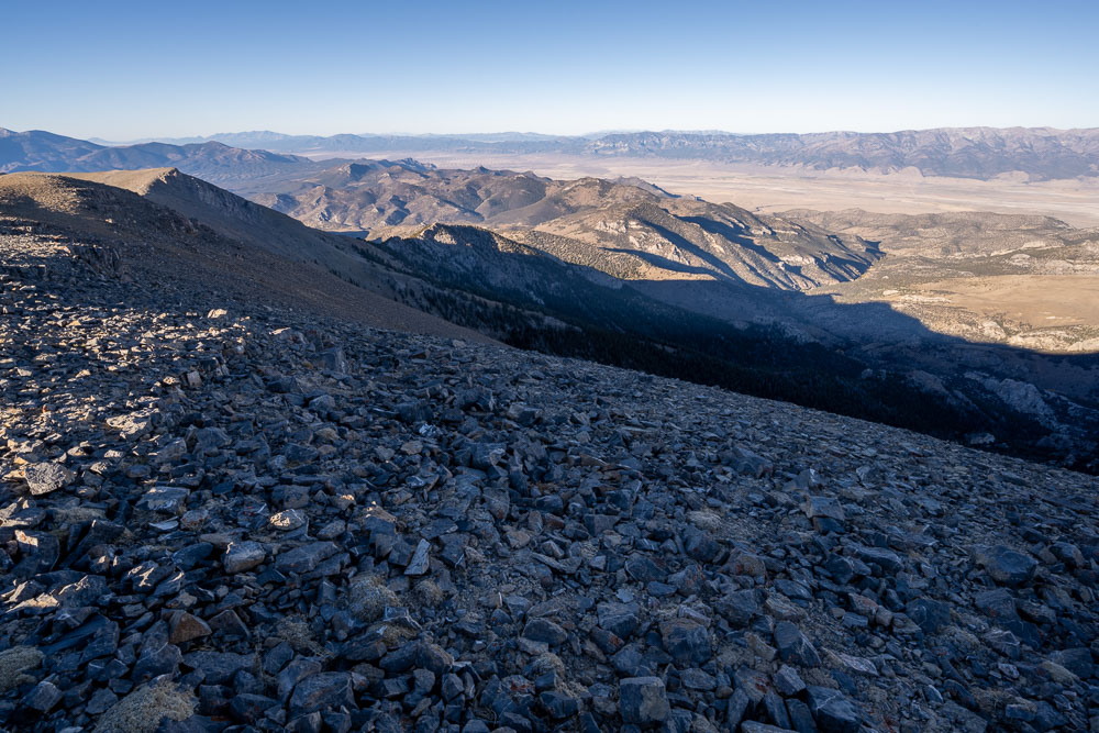
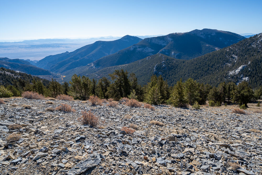
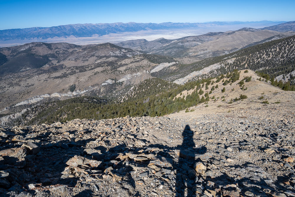
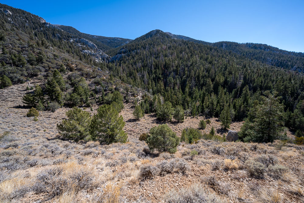
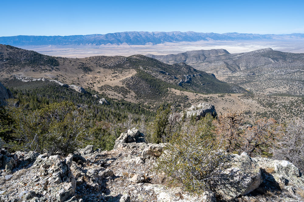
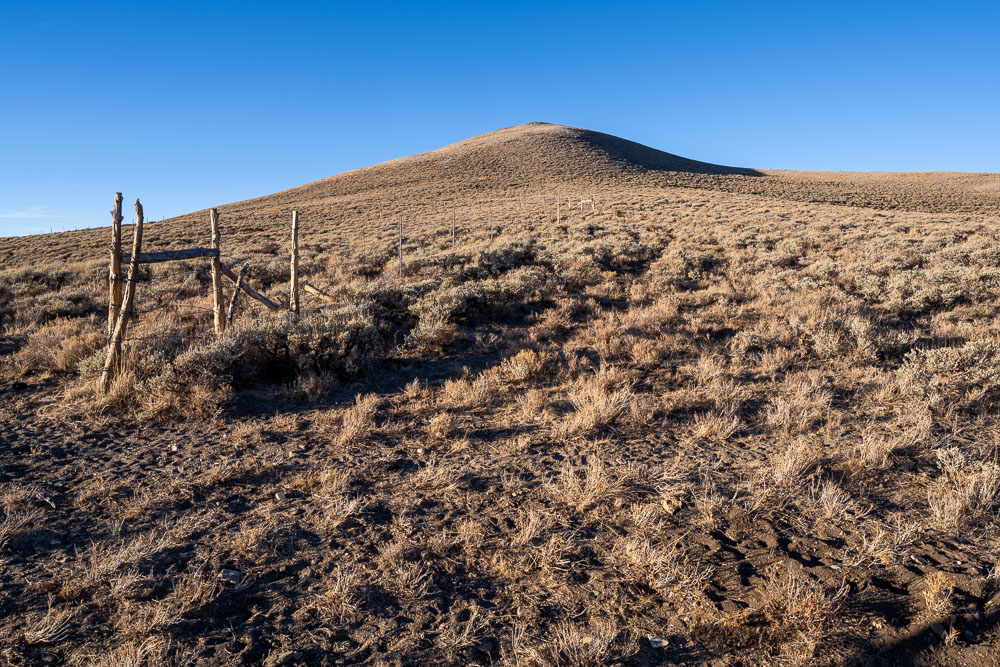
Heading down the ridge toward Silver Creek. I included two unnamed peaks, Peak 9742 and Peak 9860, before looping back to the Jeep.
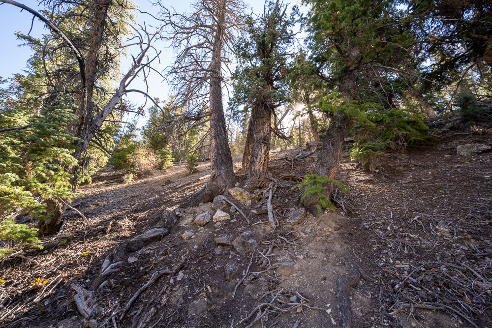
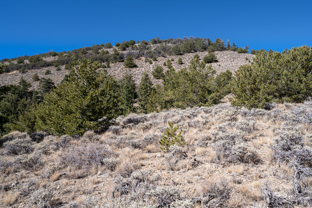
Open forest on the way down.
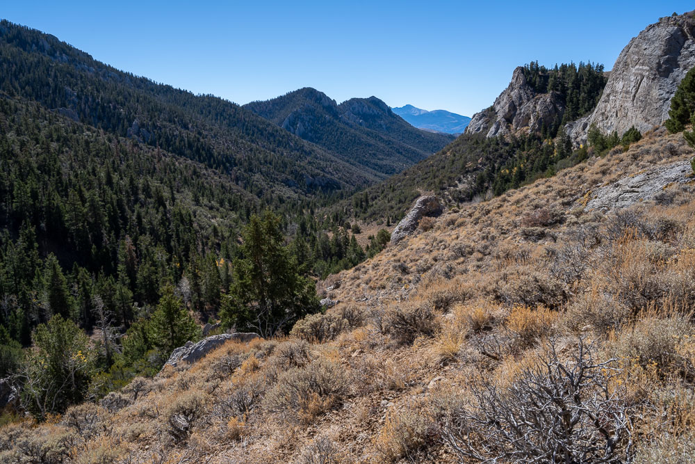
Silver Creek drainage to the south.
Another view on the way down.
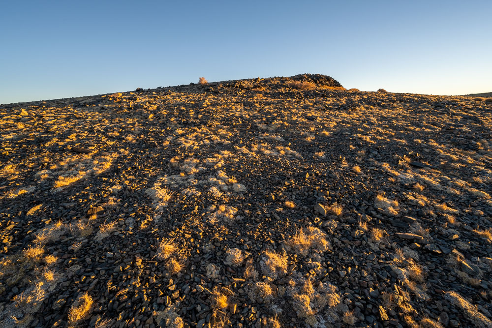
Nearing the bottom.
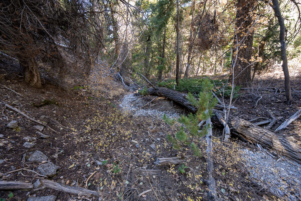
Crossing Silver Creek, dry this time of year.
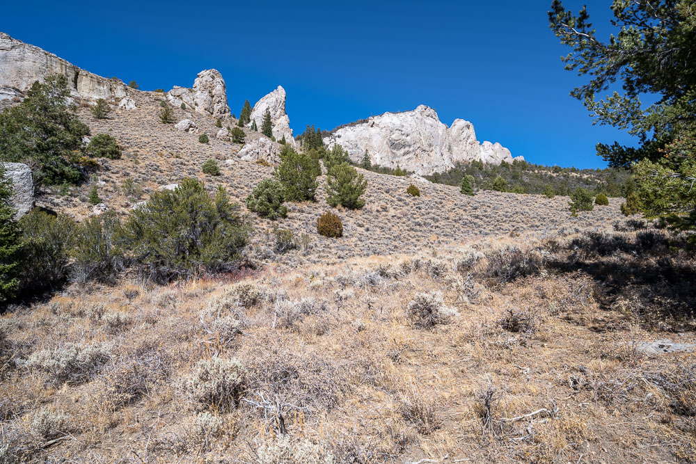
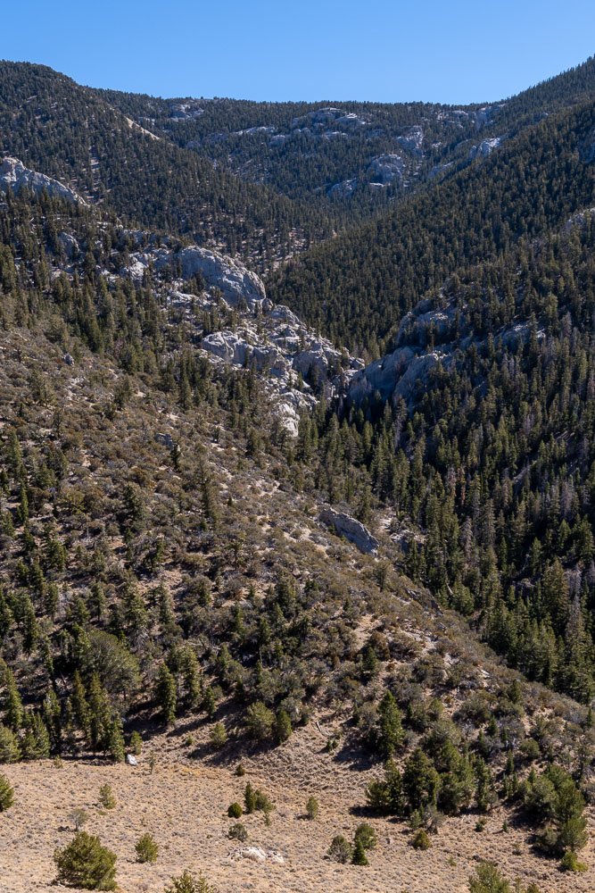
Crags above Silver Creek.
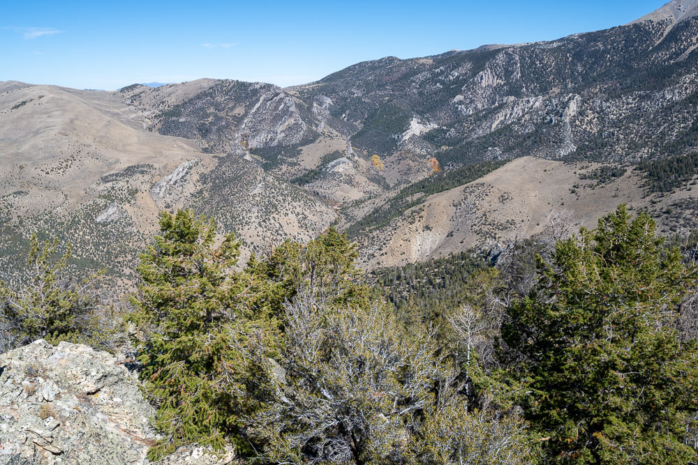
View back to the ridge I came down.
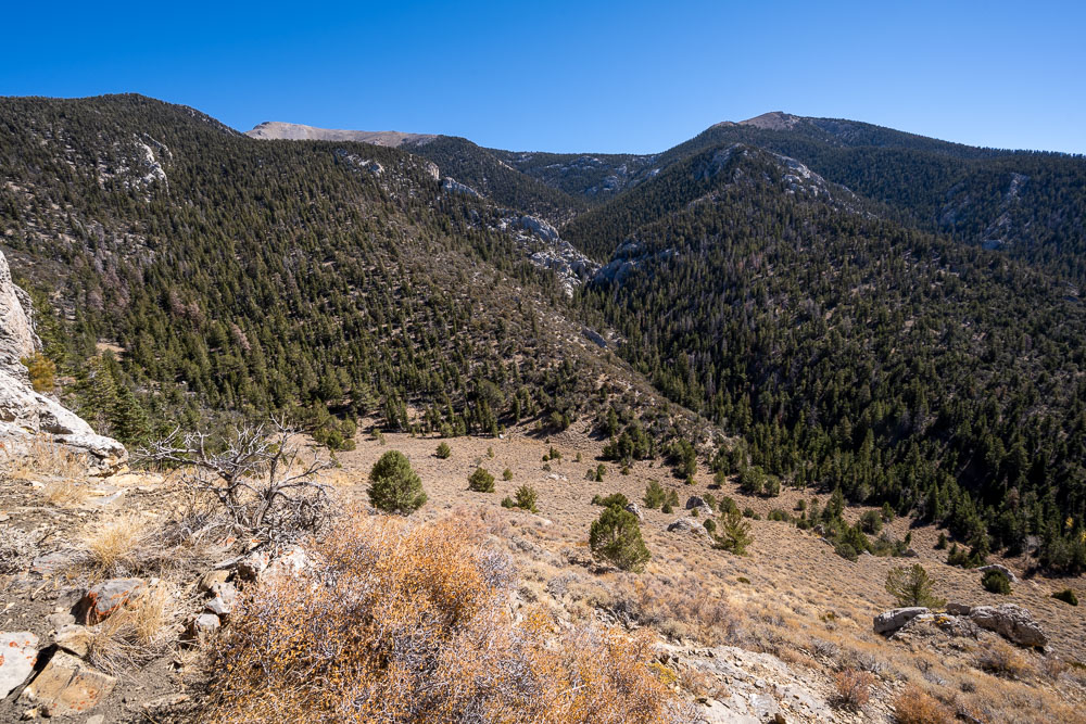
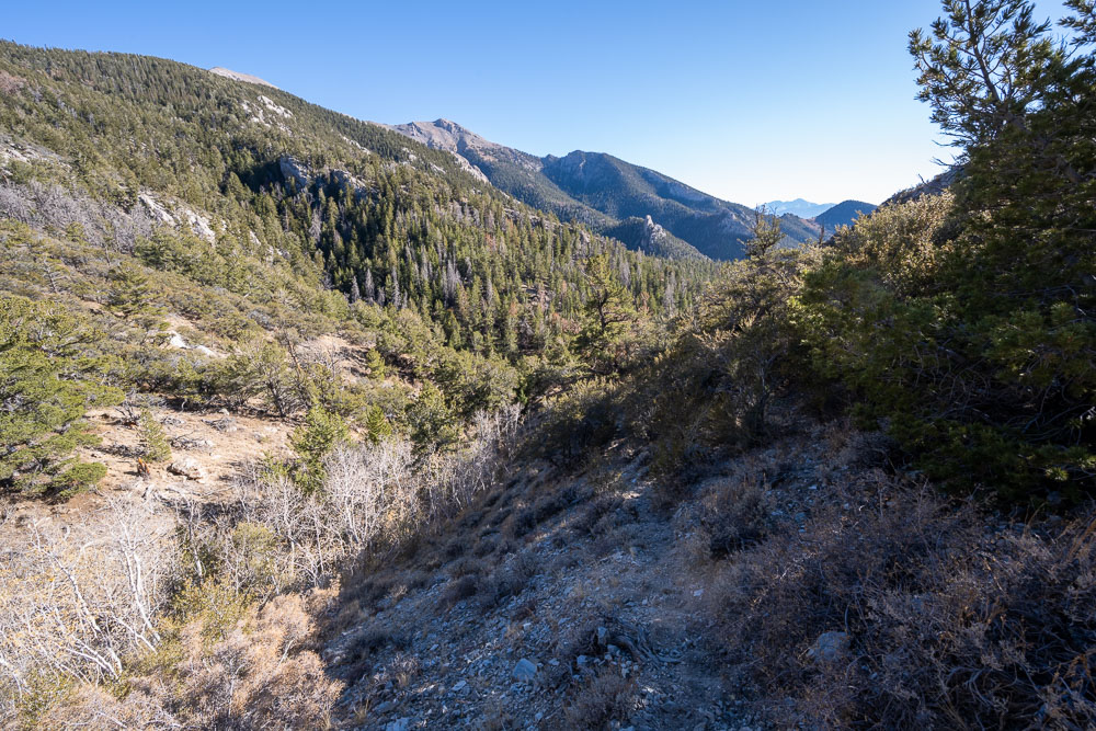
Silver Creek drainage.
Headwaters of Silver Creek.
Silver Creek cuts through a thick band of limestone. There might be a slot canyon through here, but it was hard to tell from my perspective.
Approaching Peak 9742.
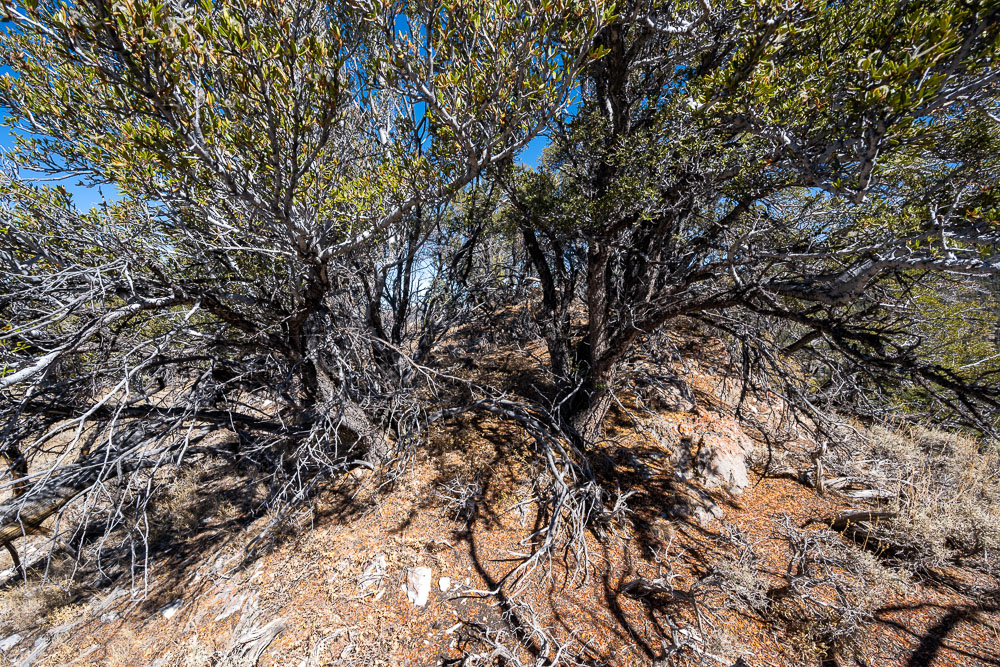
Thick brush near the summit of Peak 9742.
Peak 9860 to the west.
Left Fork Silver Creek.
View back to Mount Moriah (left) and Peak 11470 (right) on the way to Peak 9860.
View south from the summit of Peak 9860.
Schell Creek Range to the west.
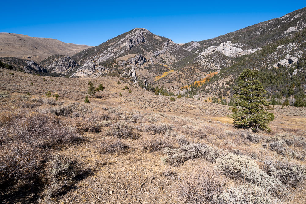
To complete the loop I went up Deerhead Canyon, which runs roughly up the center of the picture.
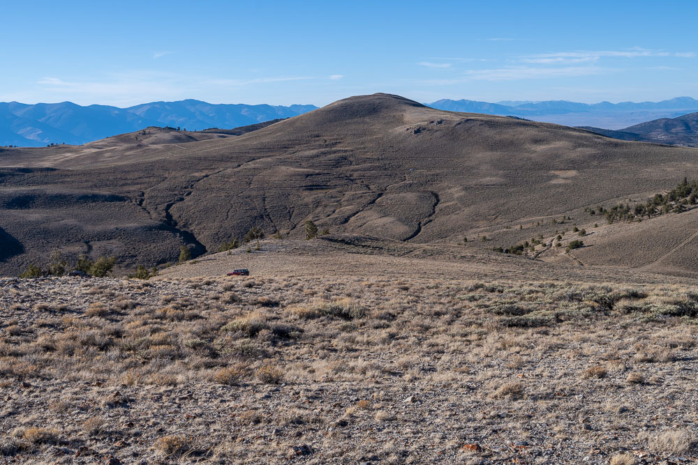
Peak 9860.
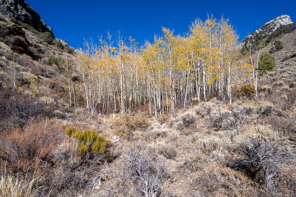
Lower reaches of Deerhead Canyon with some brightly colored aspen groves.
Peak 11470 from below.
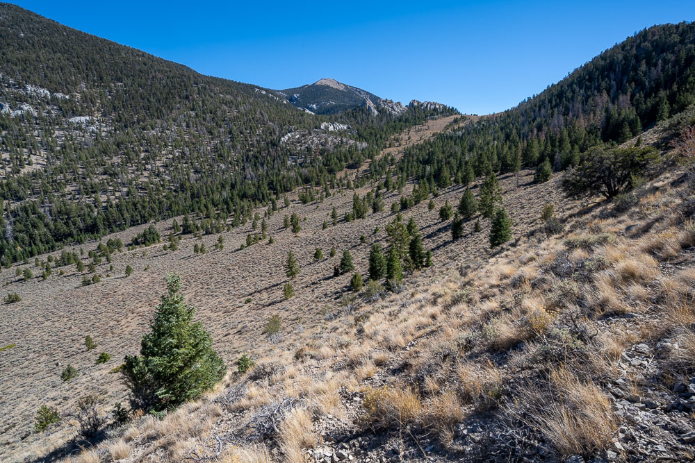
Descending to Deerhead Canyon.
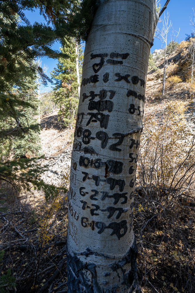
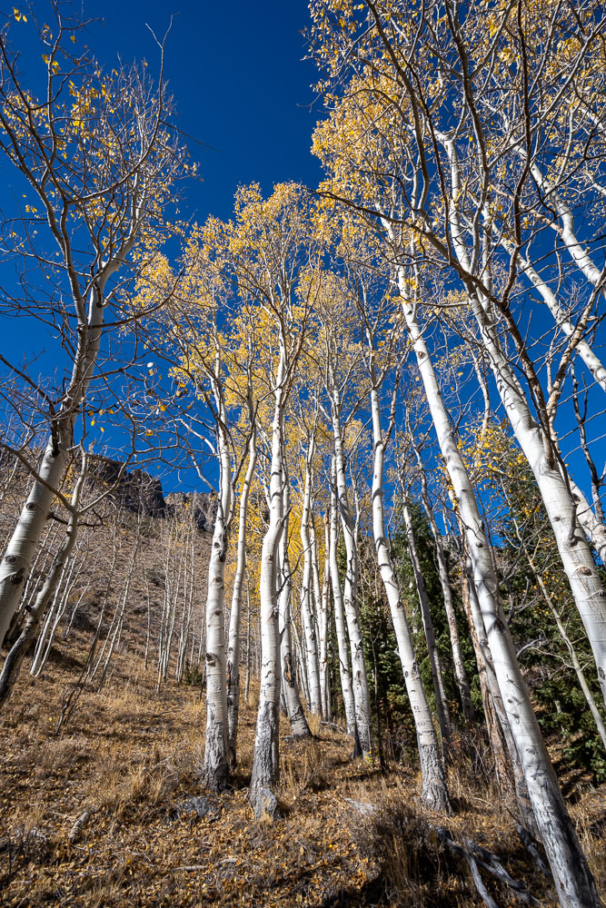
Aspens lower down. There were signs that this area had been used for cattle grazing at some point in the past.
Marie and Scott really like this area.
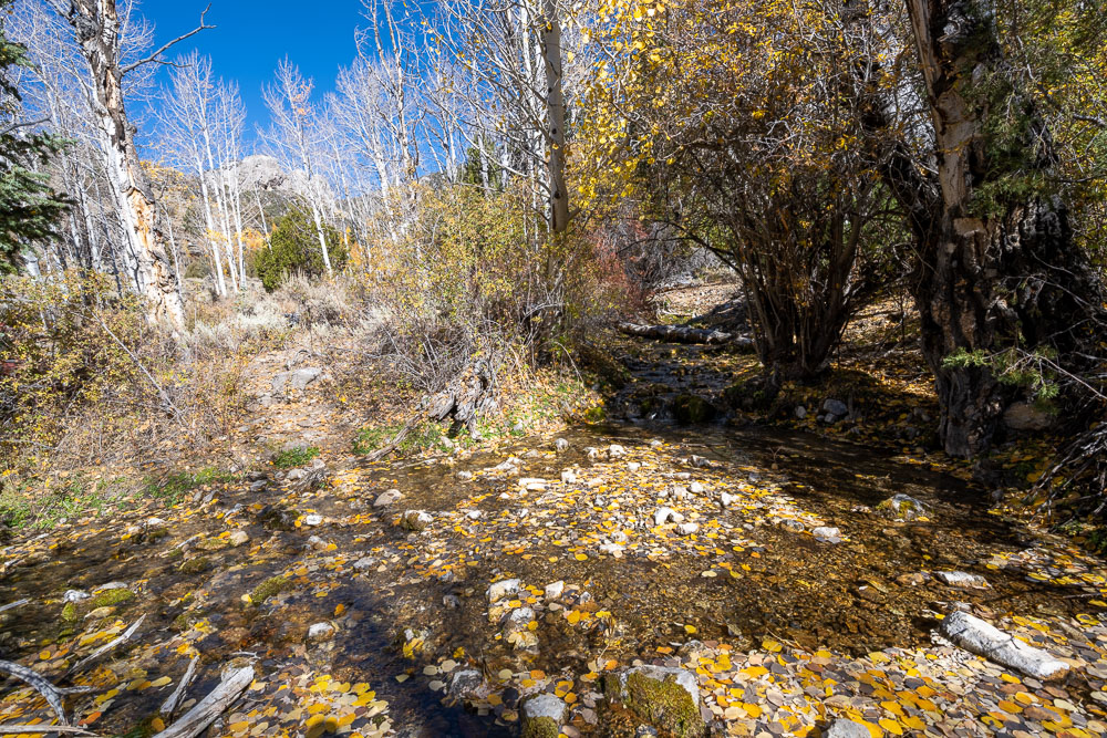
Crossing a spring fed creek.
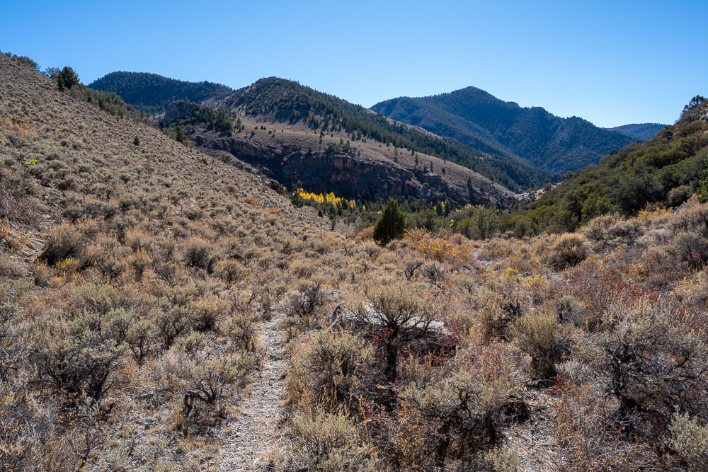
Heading up Deerhead Canyon.
View down Deerhead Canyon. Peak 9860 on the right.
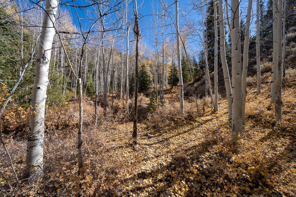
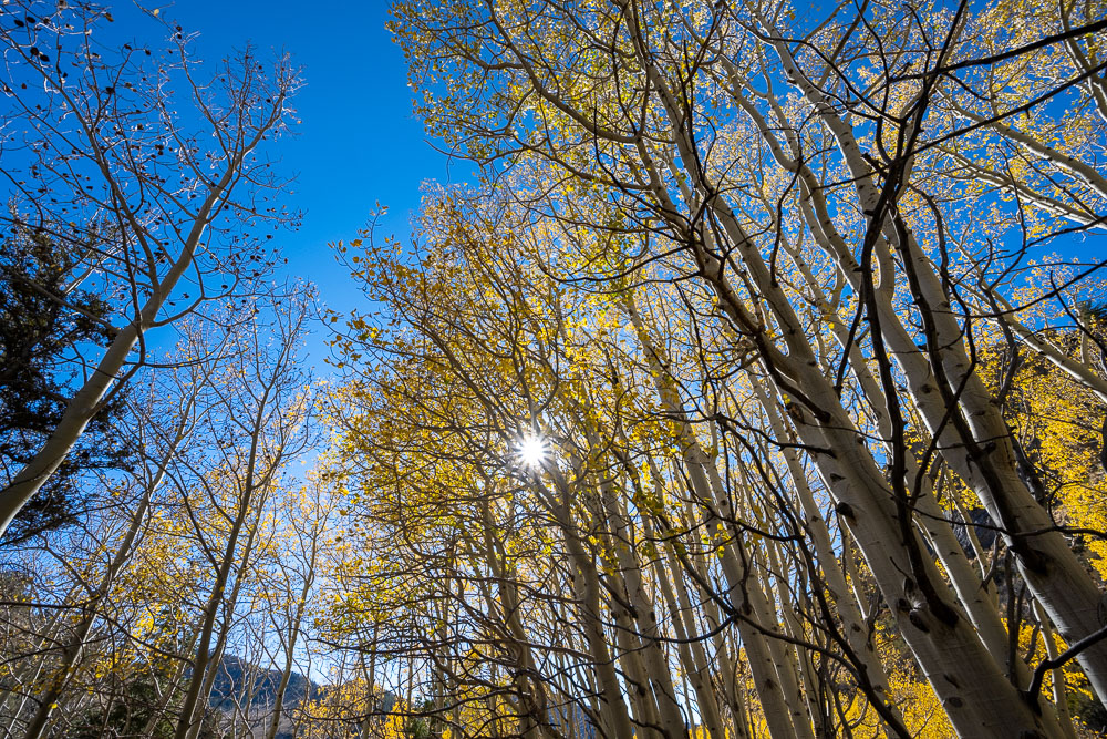
Brushy aspen forest on the way up Deerhead Canyon.
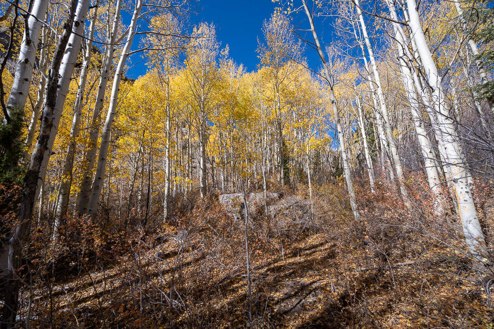
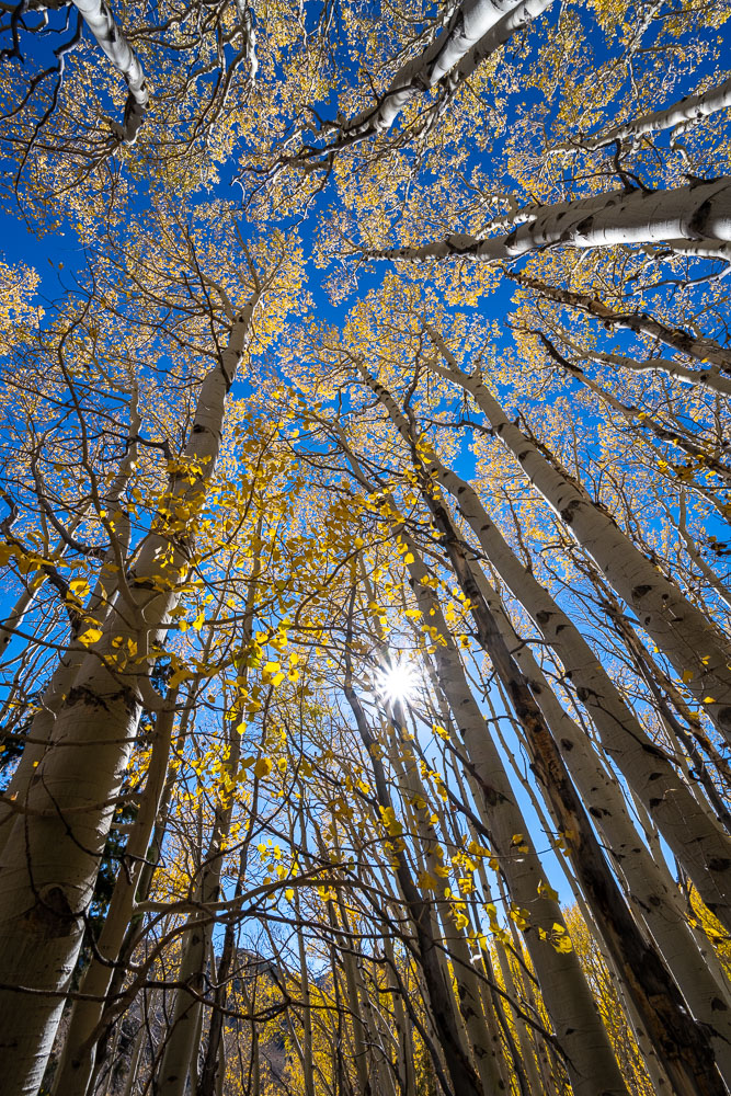
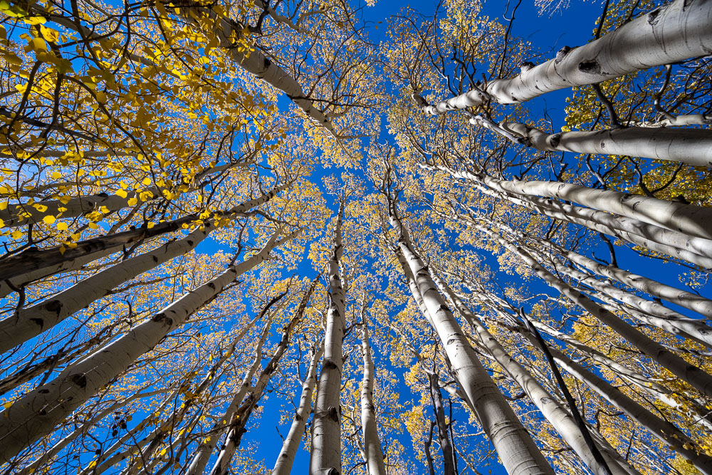
View from one of several aspen groves in the canyon.
Aspens in Deerhead Canyon.
Another view of the aspens.
Continuing up the canyon.
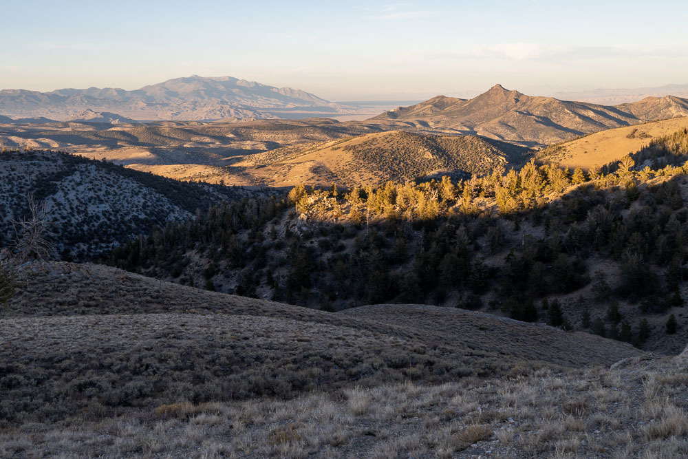
View back from near the head of the canyon. Peak 11470 in the distance.
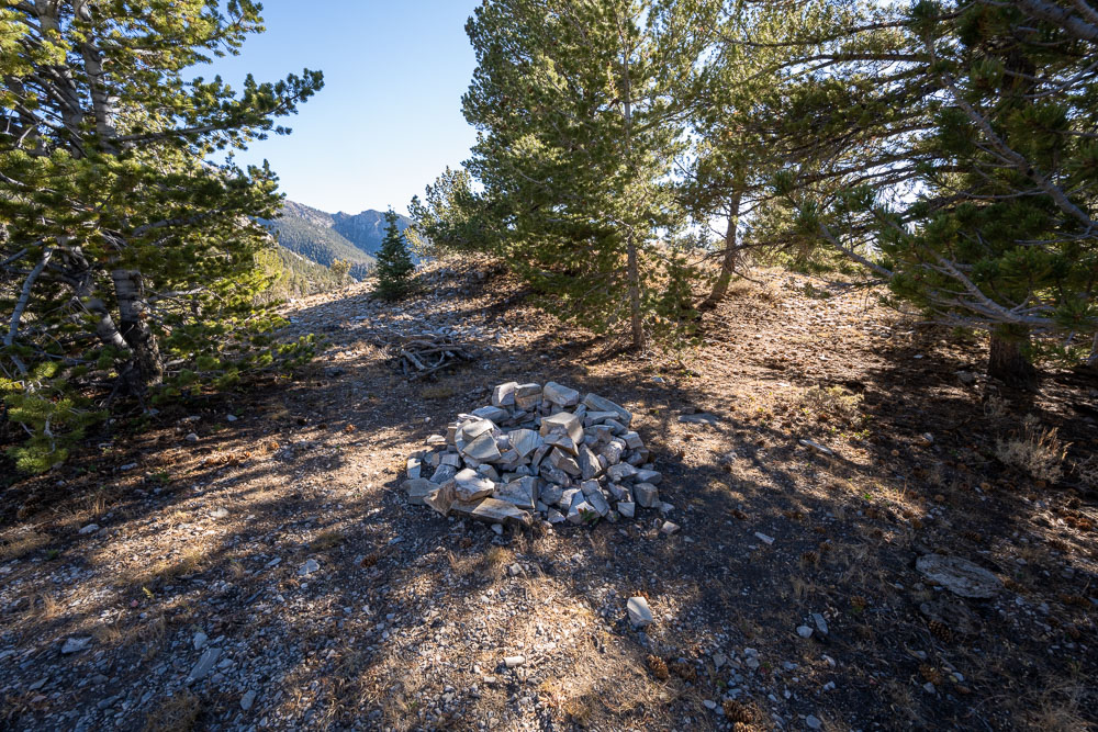
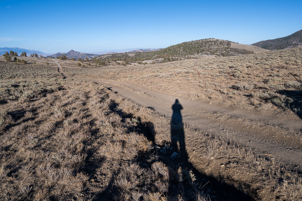
Campfire circle next to the road at the head of the canyon.