Area:
Humboldt National Forest
1.7 Miles, 1000 Gain
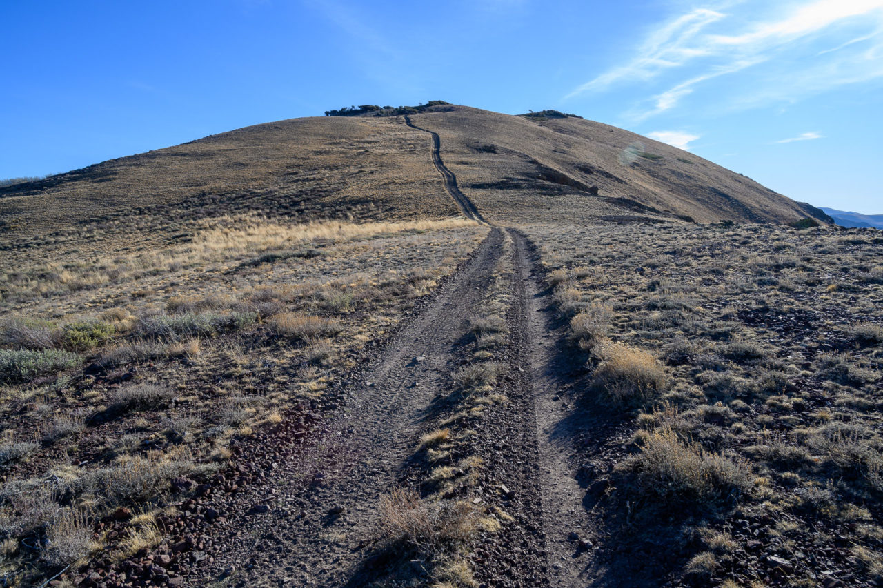
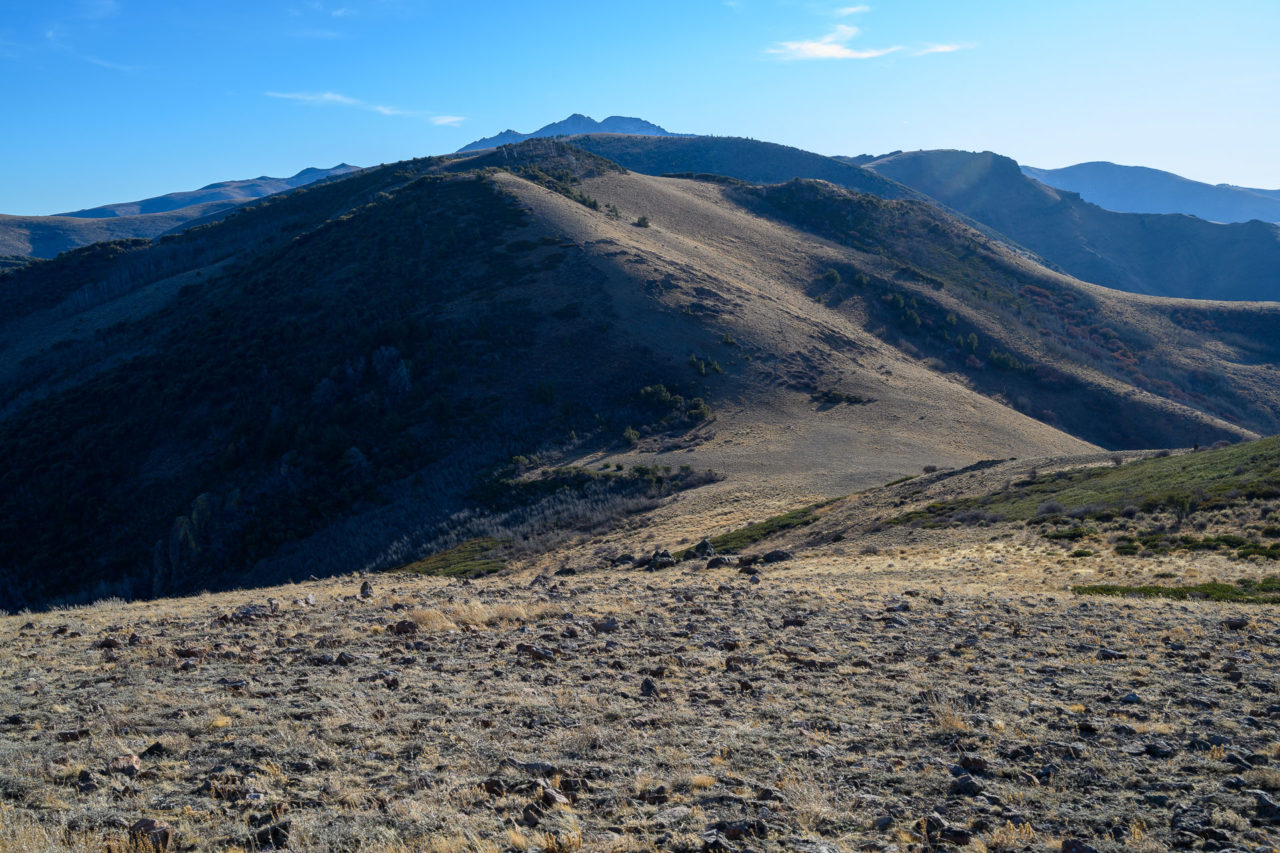
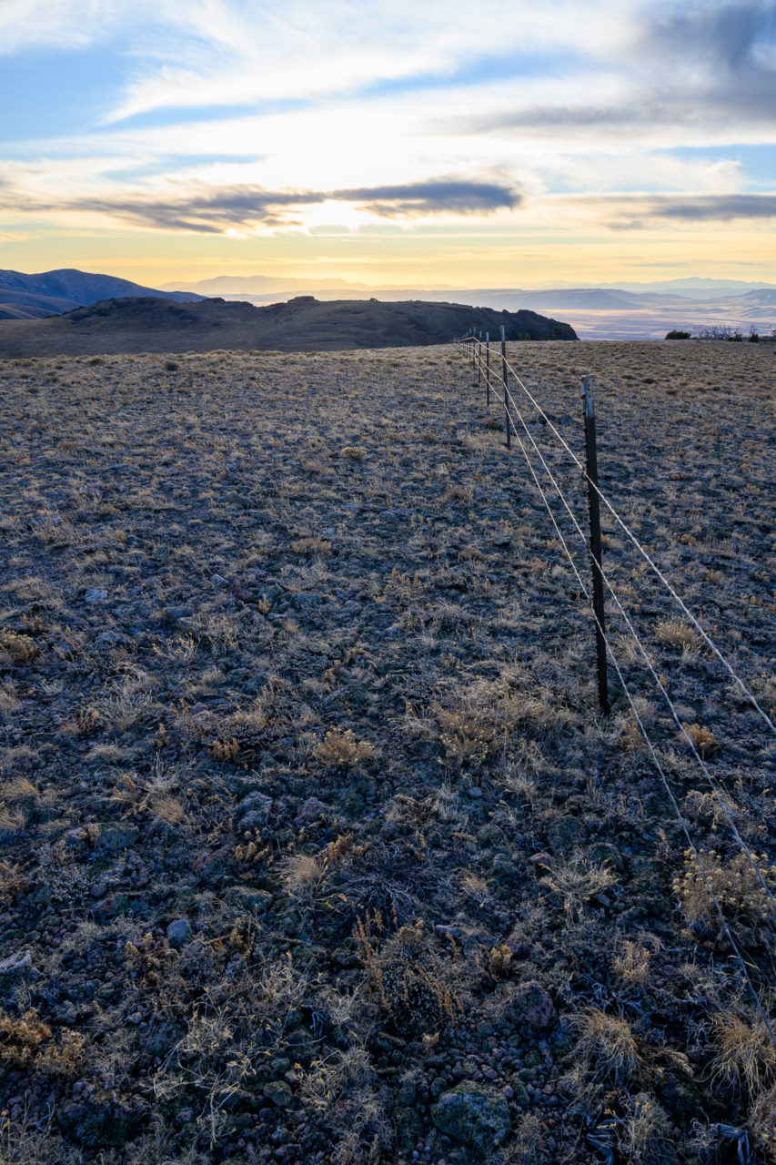
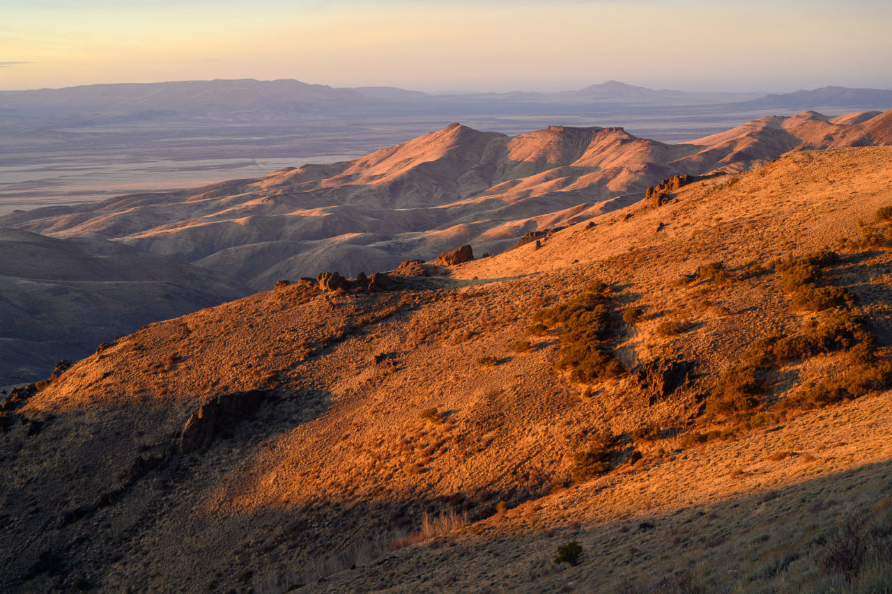
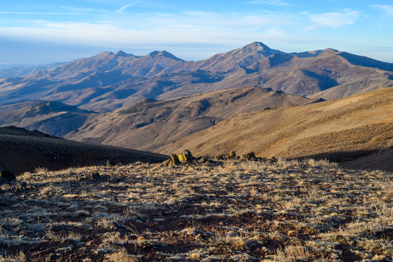
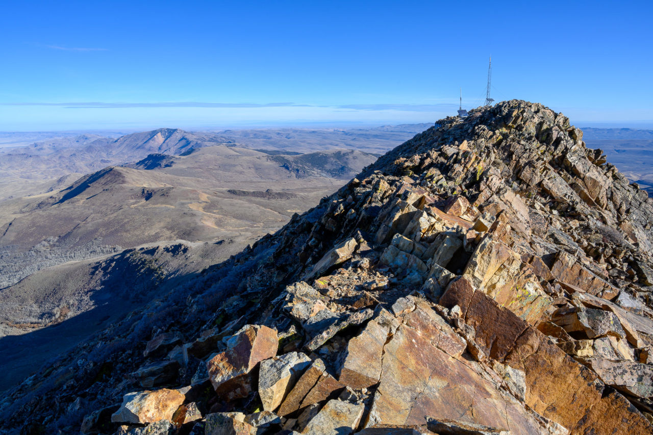
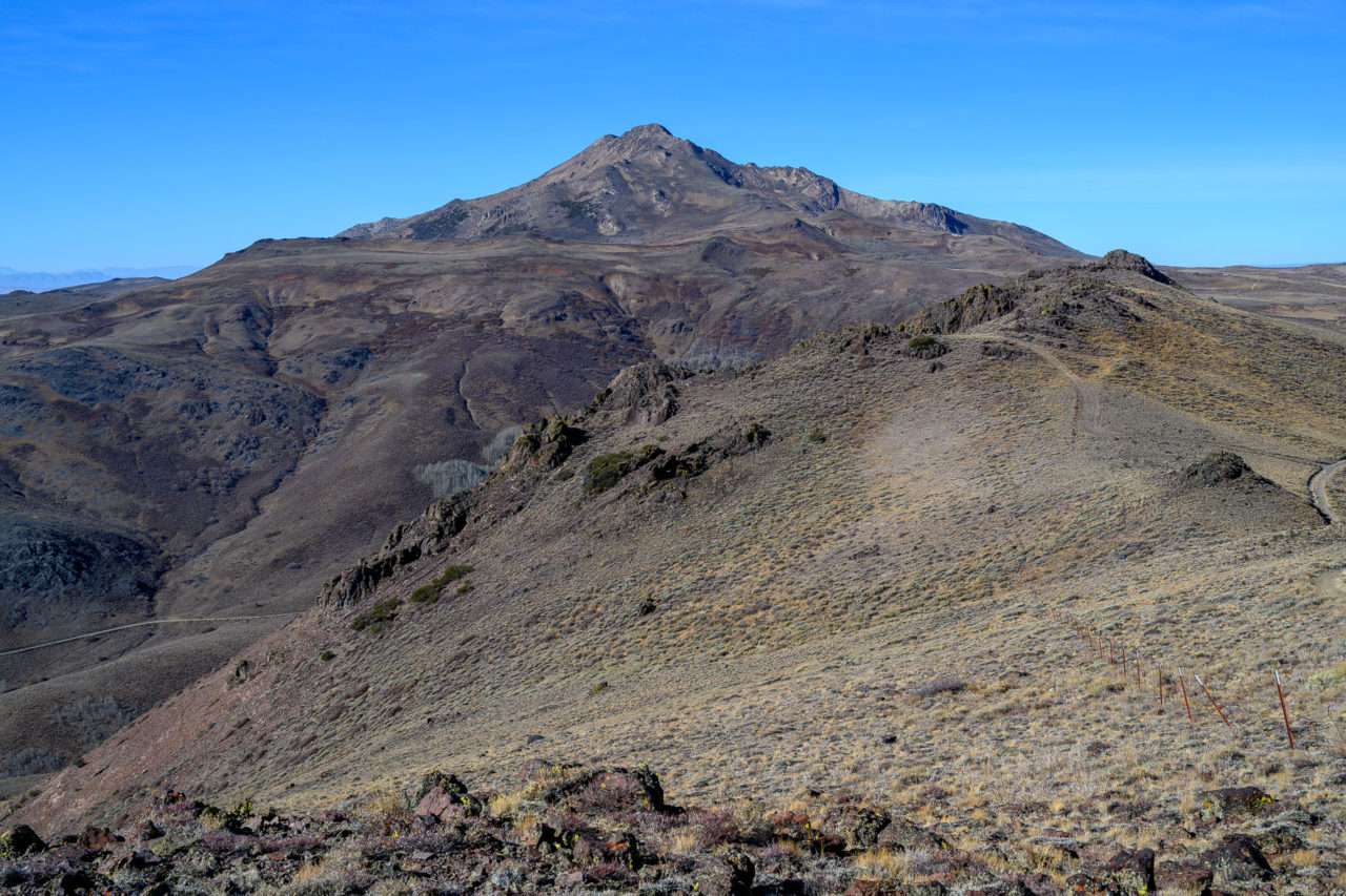
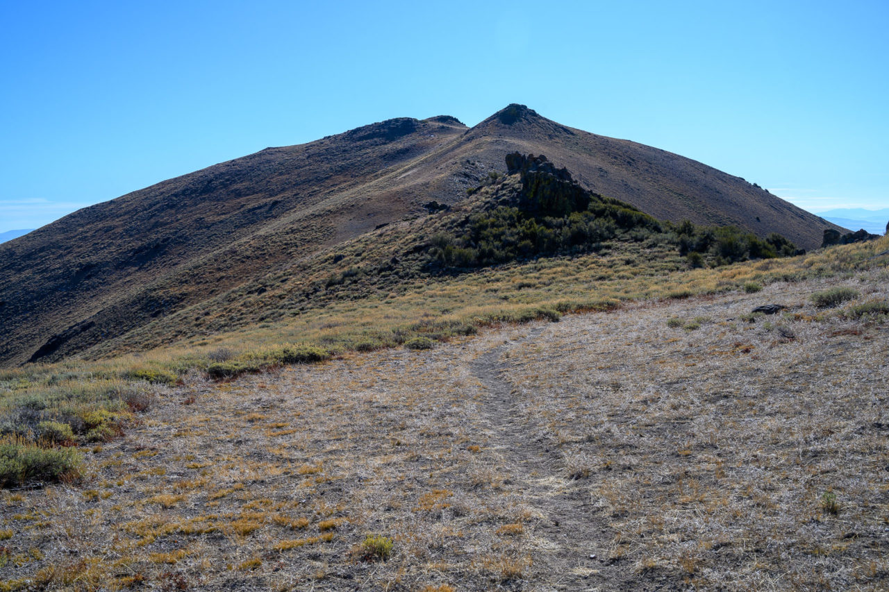
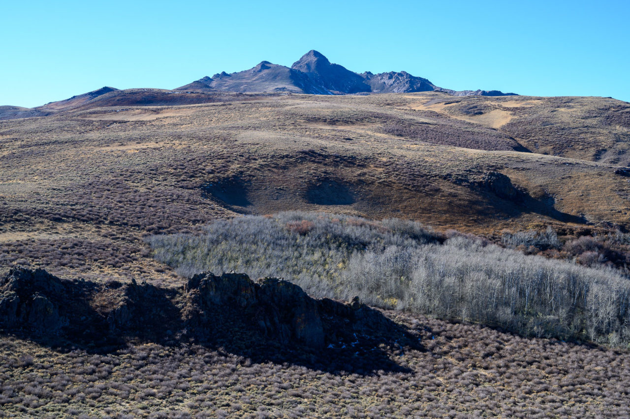
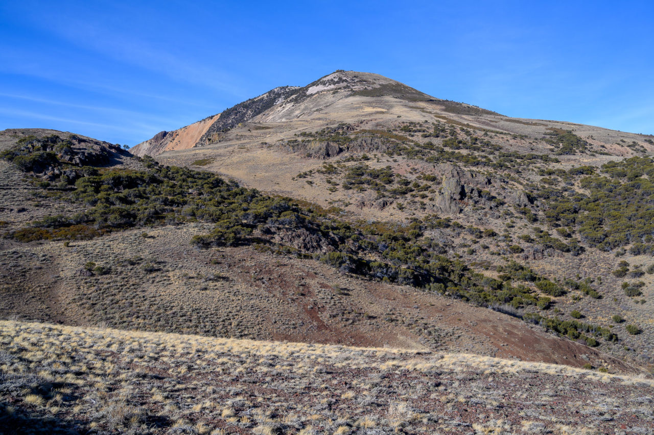
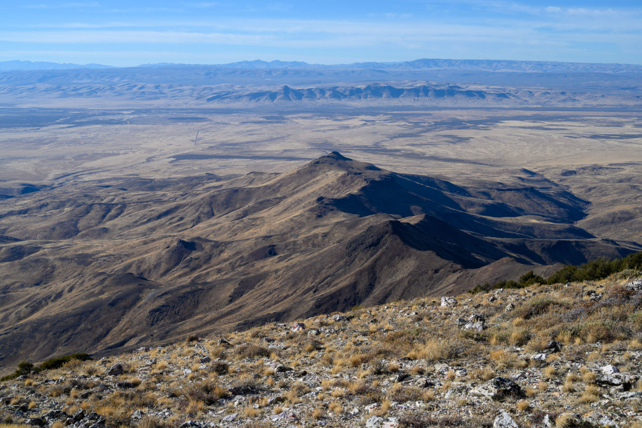
Granite Peak is a P4K located in the Santa Rosa Range near the Oregon border and is also the Humboldt County Highpoint. After climbing nearby Santa Rosa Peak the previous day, I drove around the south end of the range through the town of Paradise Valley and up the nicely graded road to Hinkley Summit. In the morning I took a 4WD leading towards Granite Peak, which can be used to get within a mile of the summit. I parked in a clearing below the peak, then followed an old fence toward the highpoint. A short rocky section led to the summit area.
2.2 Miles, 750 Gain
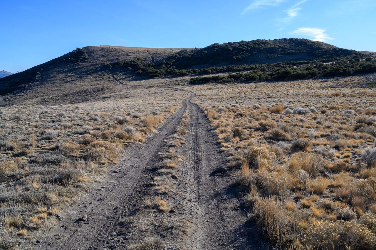
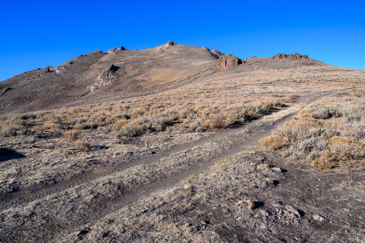
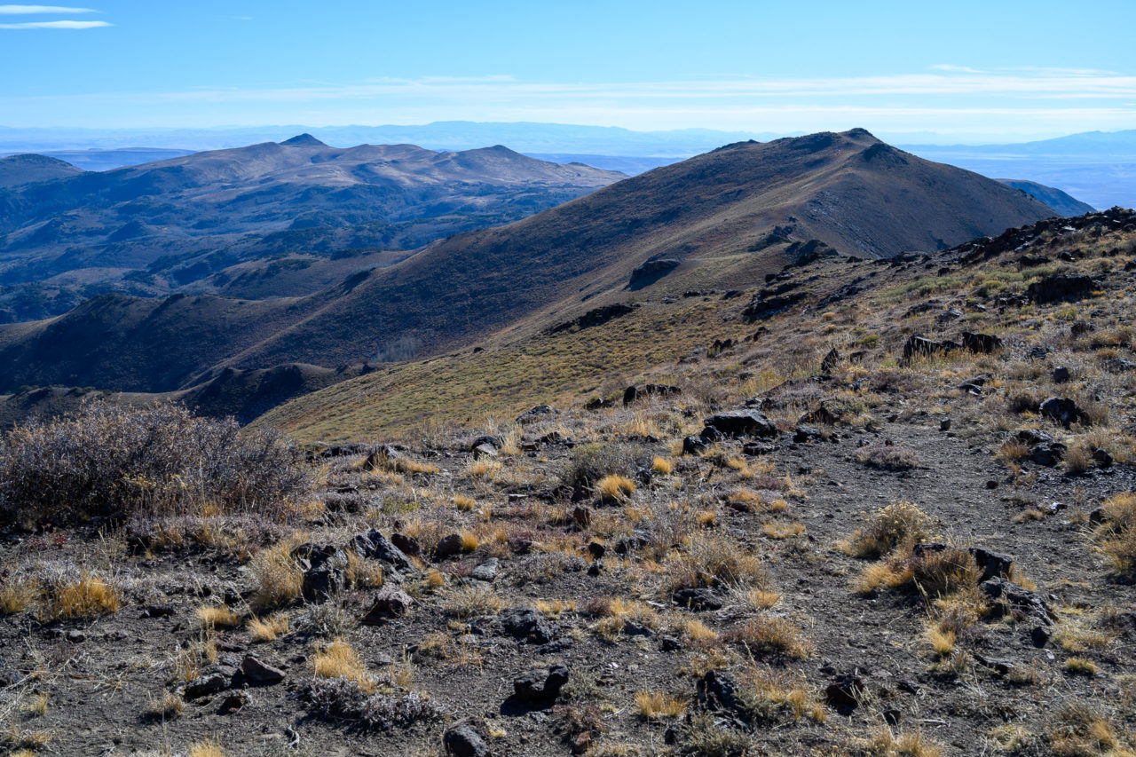
Peak 8580 is the highpoint of the ridge that includes Hinkley Summit. A steep 4WD can be used to drive nearly the summit. I parked at the end of the road and took a short walk to the summit. Afterwards I did an out-and-back following a trail over to Peak 8500. On the way out I also did a short hike to Hinkley Summit Benchmark, which is located on the ridge to the west of Peak 8580.
1.0 Miles, 350 Gain
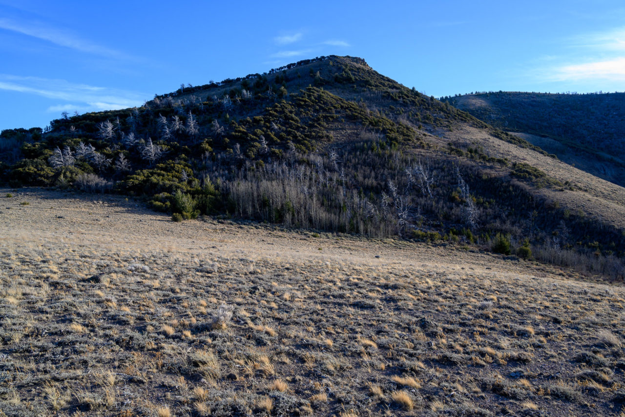
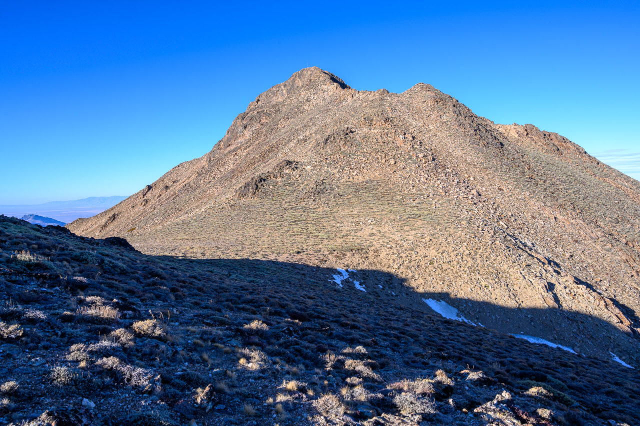
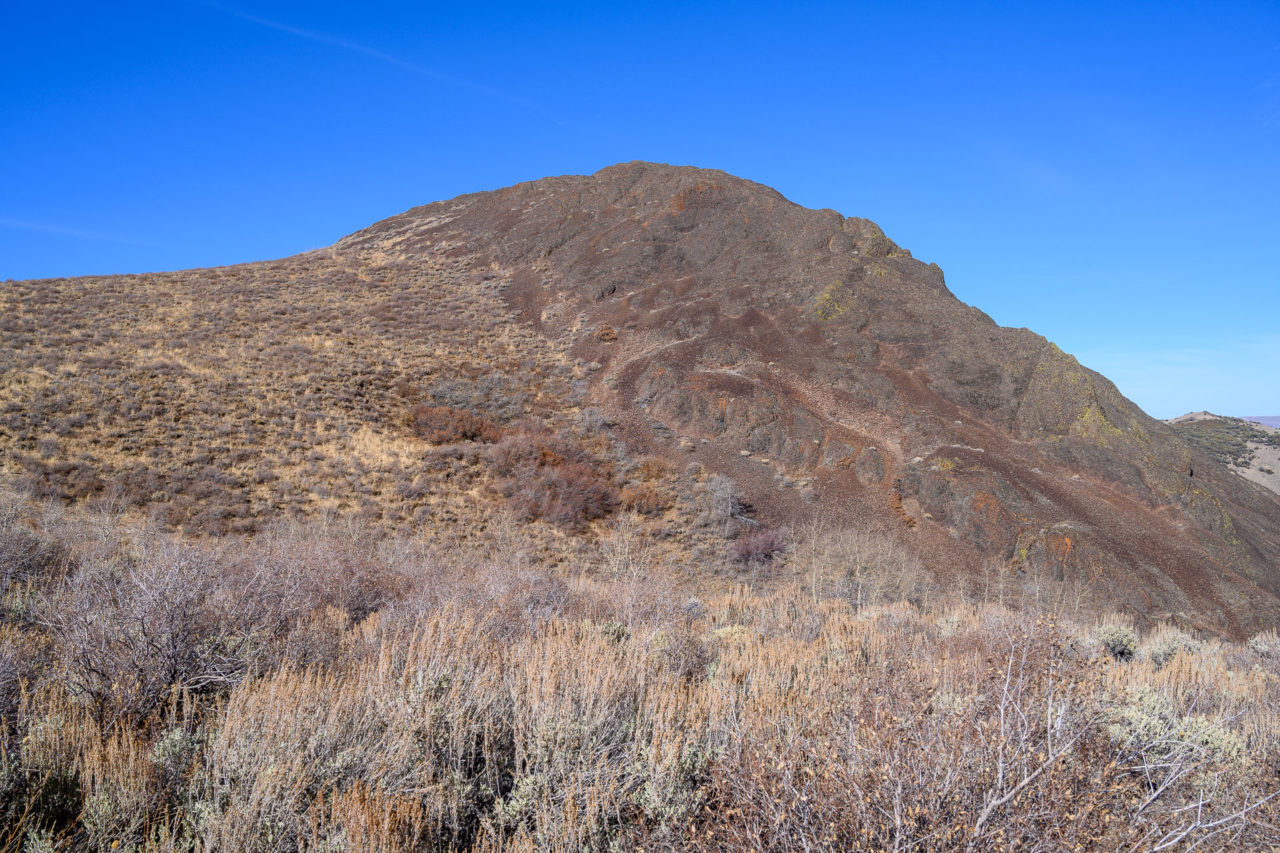
Chocolate Mountain was in the general vicinity of the other peaks I had visited that morning, so I decided to do a short hike to the summit while I was in the area. From FS-84 I followed a road leading to a cabin on the south side of Chocolate Mountain. I parked near the gate to the cabin and followed the fence line toward the summit. After some minor bushwhacking and a short scramble up the loose rocky slope I arrived at the broad summit area.
0.1 Miles, 50 Gain
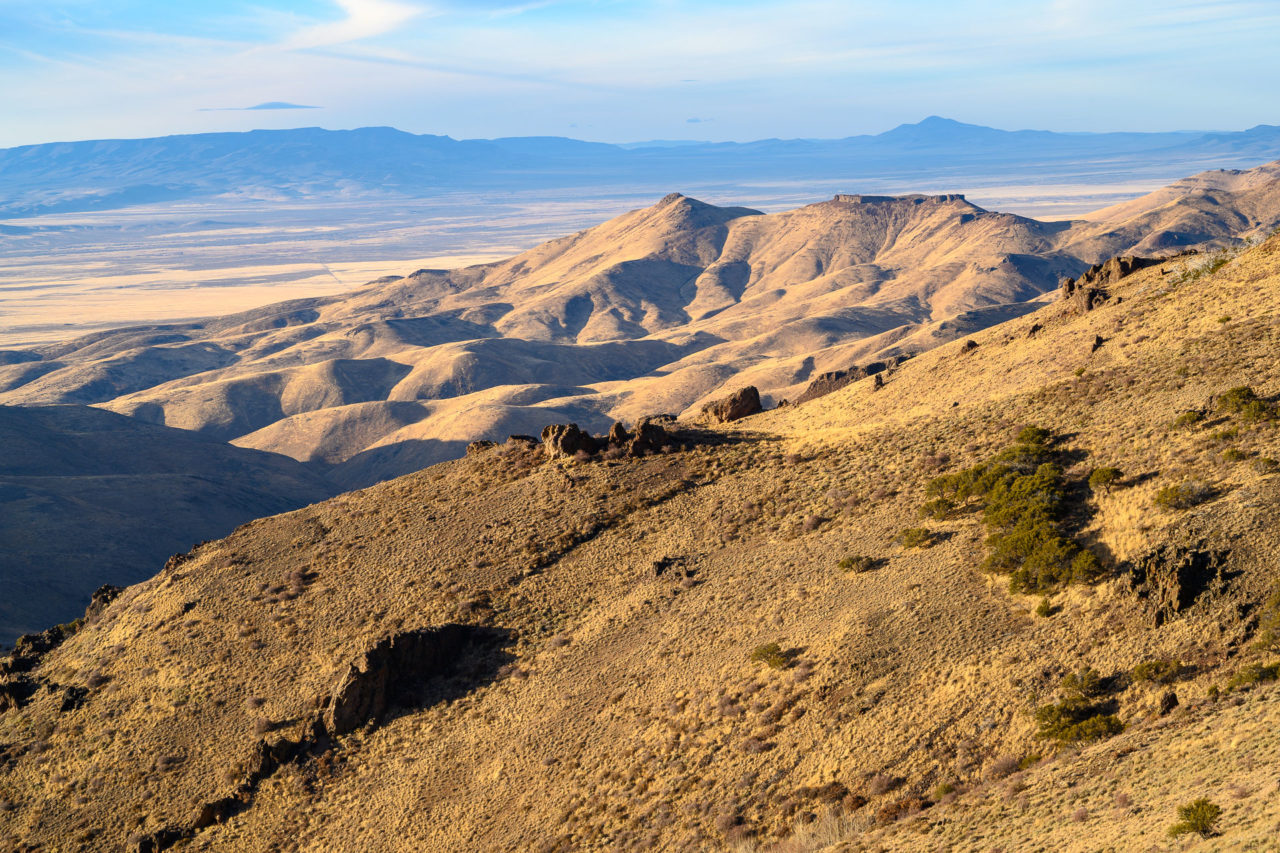
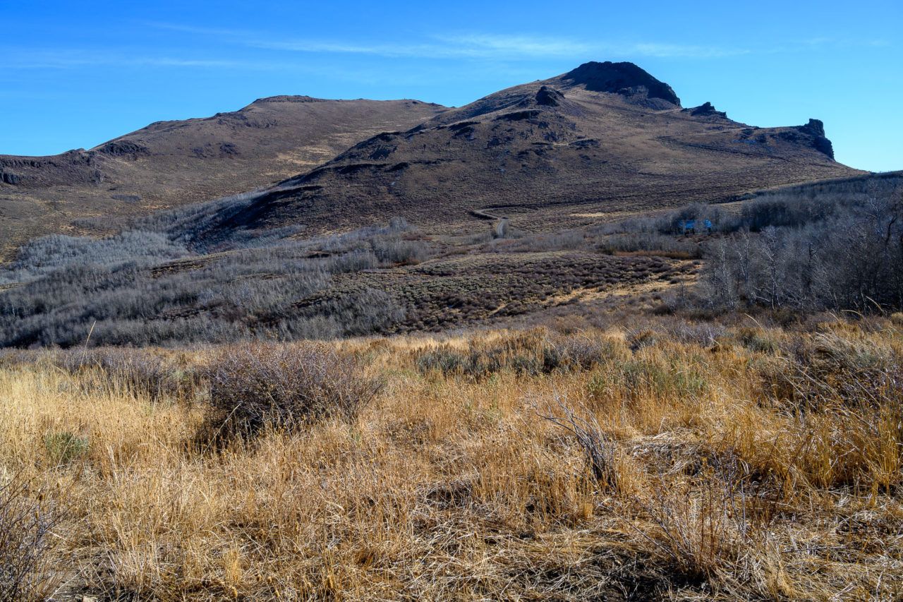
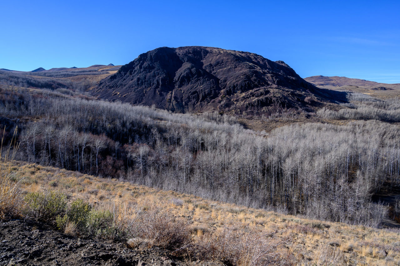
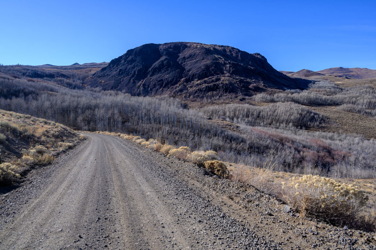
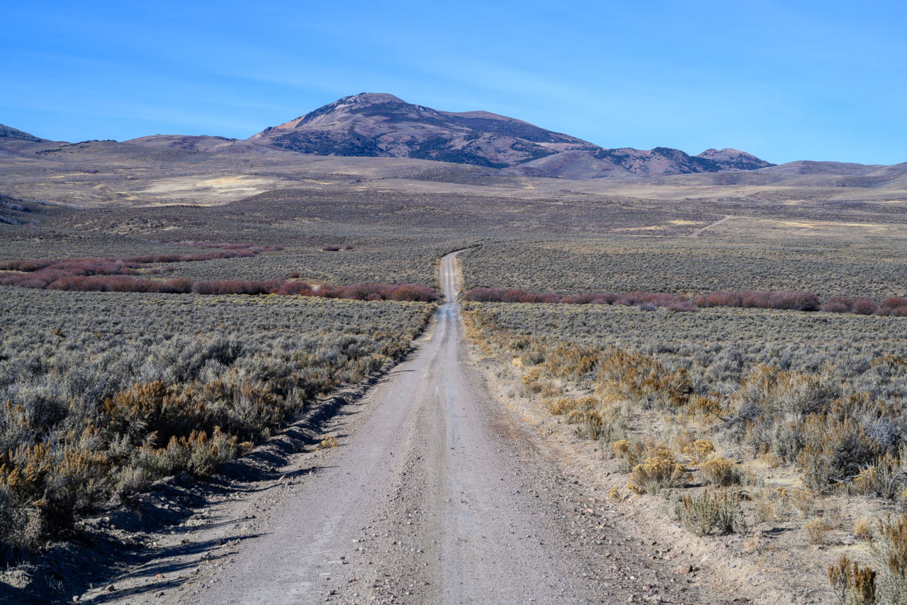
A 4WD road can be used to drive to the summit of Buckskin Mountain. After returning from Chocolate Mountain I took FS-84 across the valley toward Windy Gap. The valleys on the drive over were full of aspens, which unfortunately had already lost their leaves for the season. This would definitely be an area worth returning to during peak fall colors. From Windy Gap the road continued steadily toward the summit. The road was steep and rocky in places, but didn’t require 4WD. I parked near the summit and took a short walk over to the summit area.
4.2 Miles, 1900 Gain
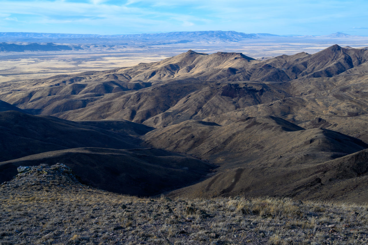
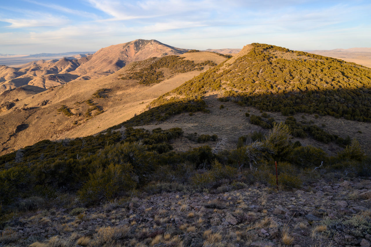
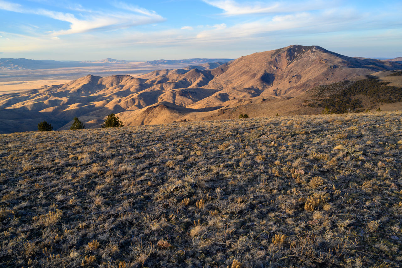
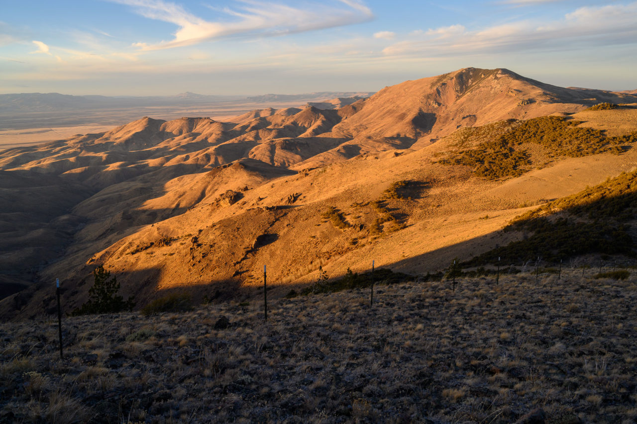
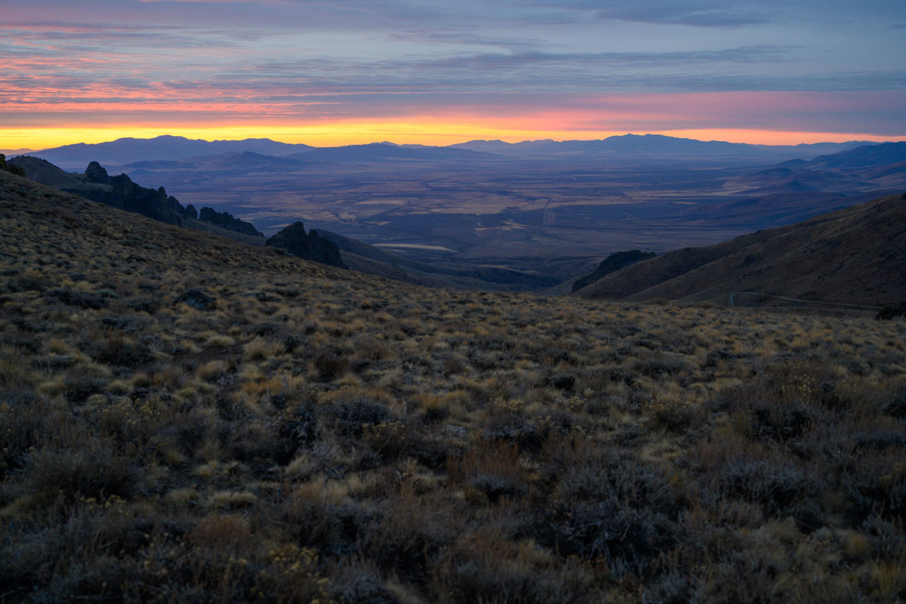
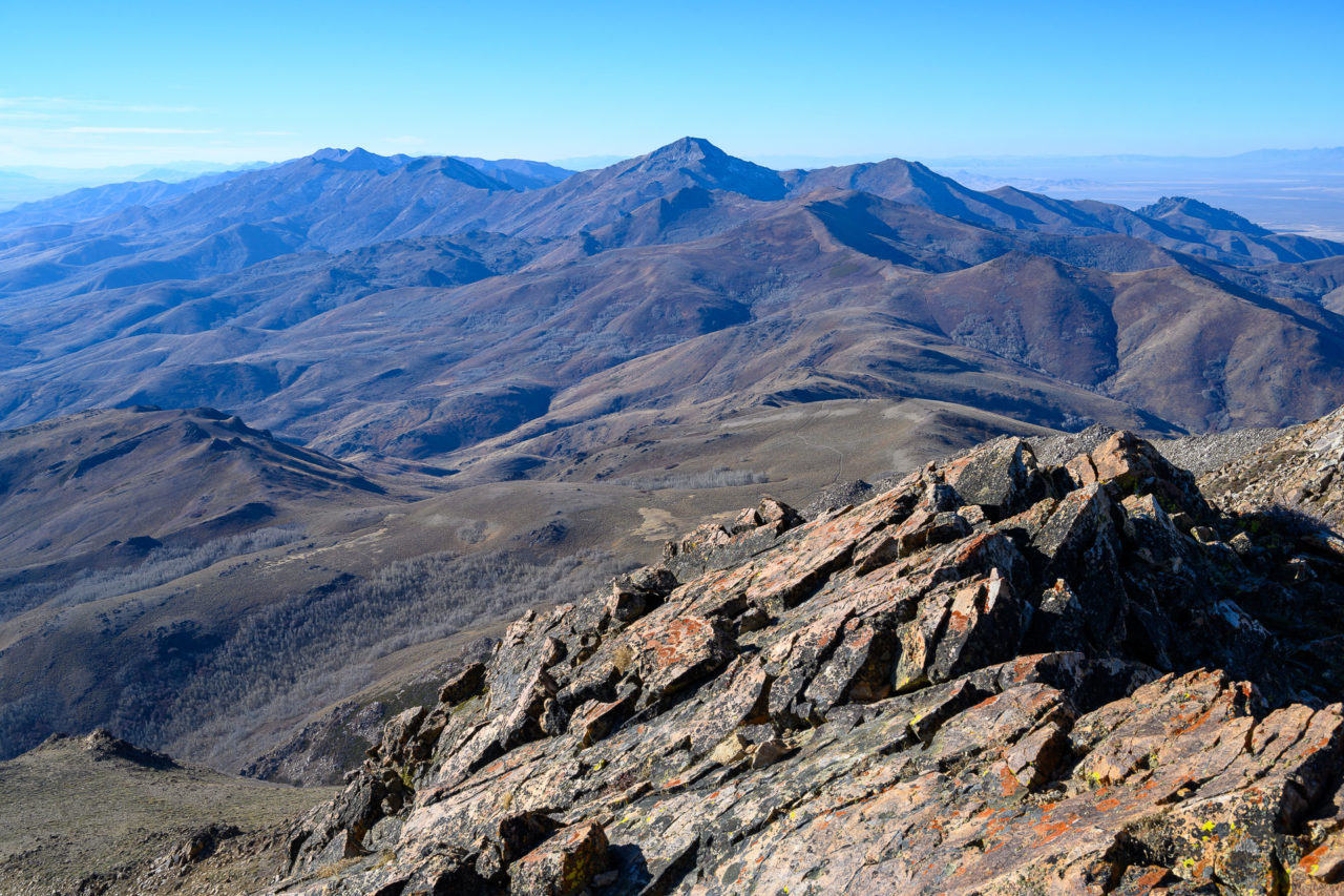
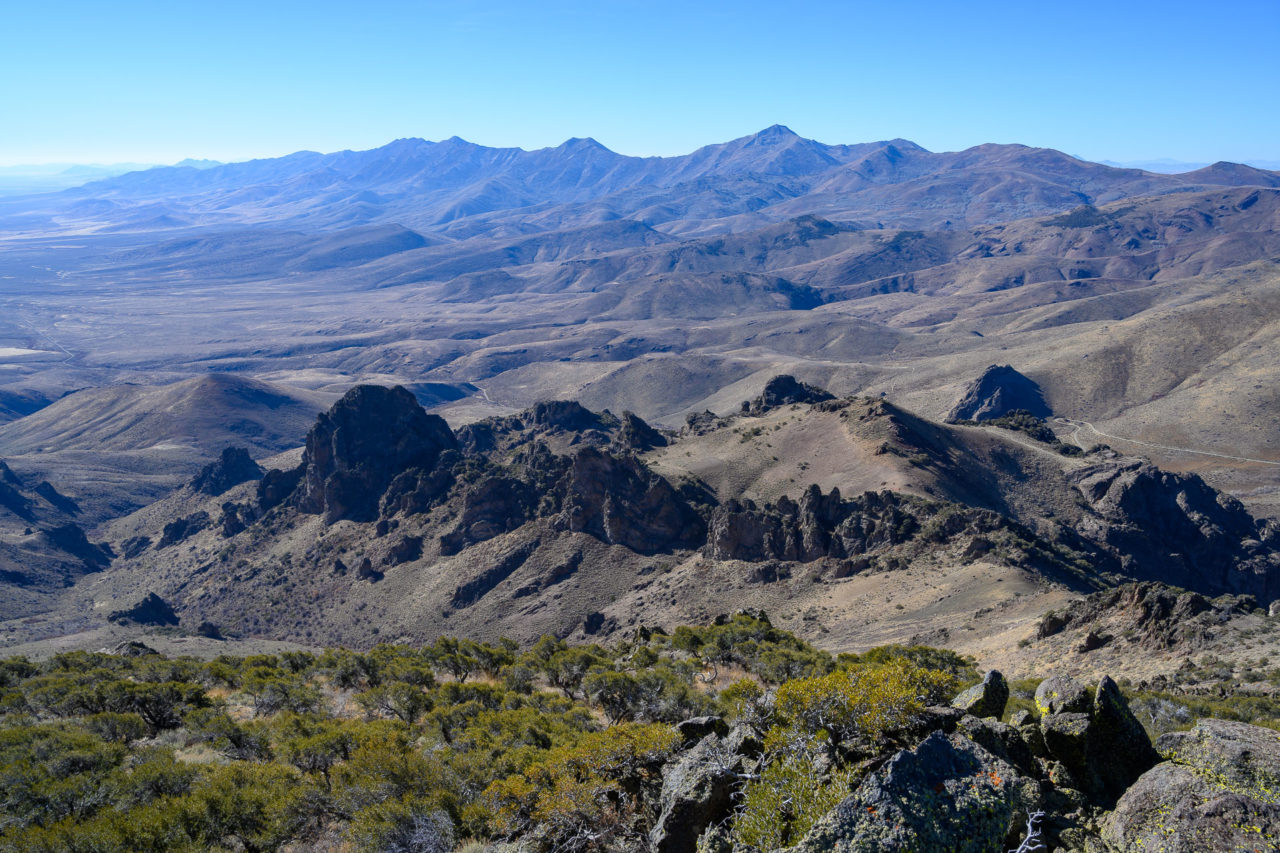
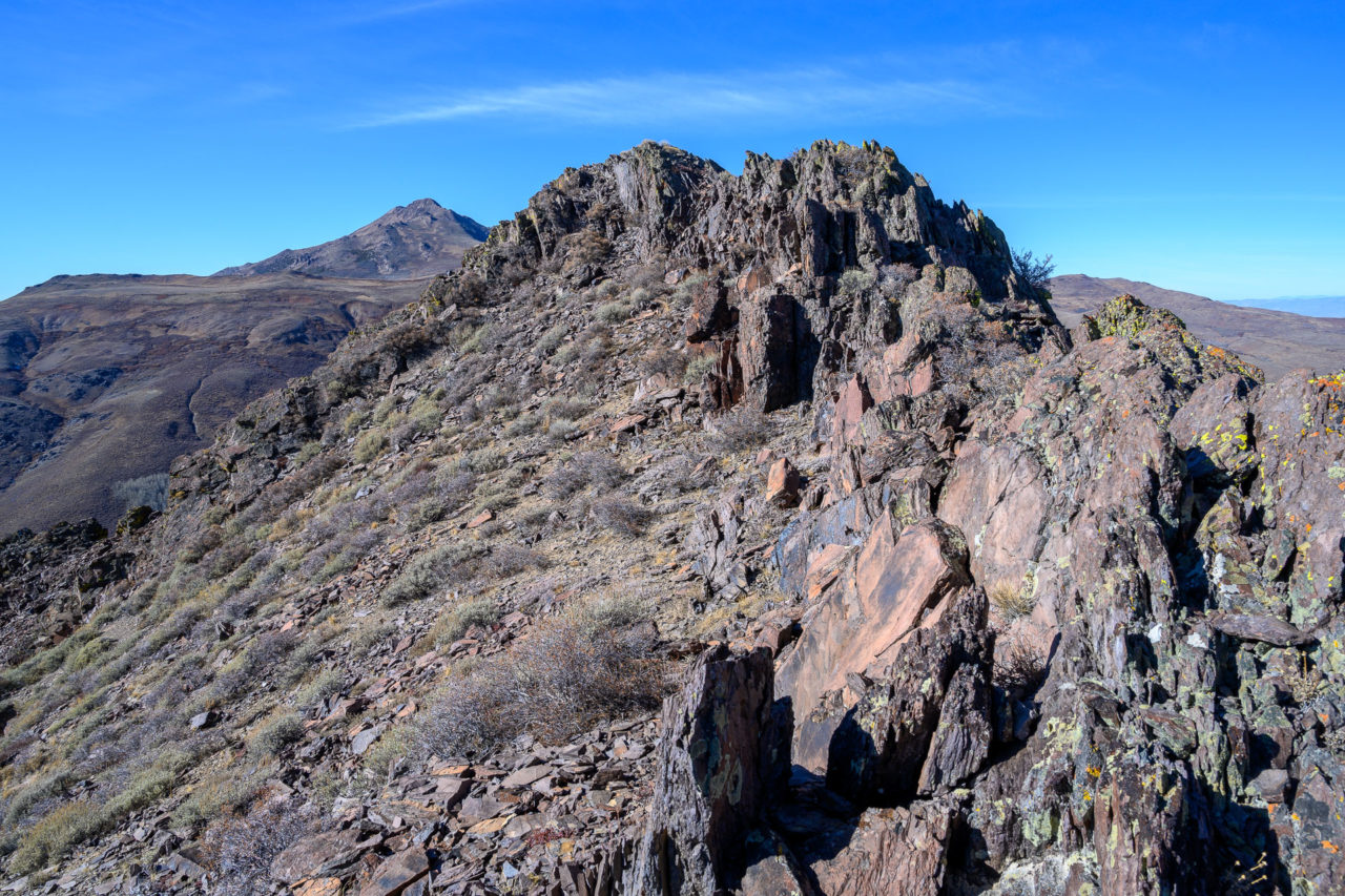
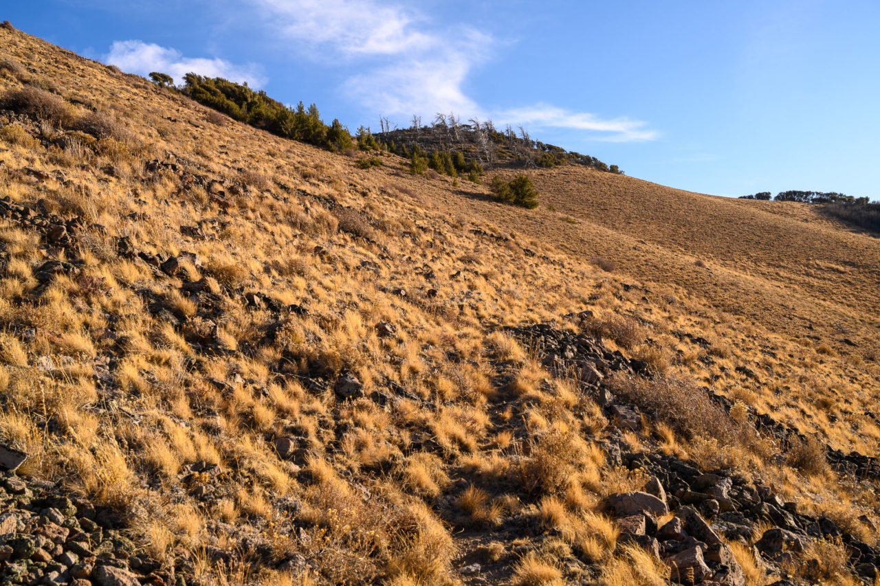
It was starting to get later in the afternoon at this point, but I still had time for one more hike. I would have liked to visit Capitol Peak to the east, but I didn’t think I had enough time for the drive across the valley. Instead I settled for a collection of unnamed peaks on the ridge to the south of Windy Gap. A steep 4WD road led nearly to the summit of Peak 7900. Parking at the end of the road, I stopped briefly at the summit of Peak 7900 before continuing on to Peak 8018. I followed a well maintained fence line that continued to the south. Thankfully the fence was not barbed so it made crossing easy. A game trail led most of the way to Peak 8018. I climbed through a small wooded section that led to the summit.
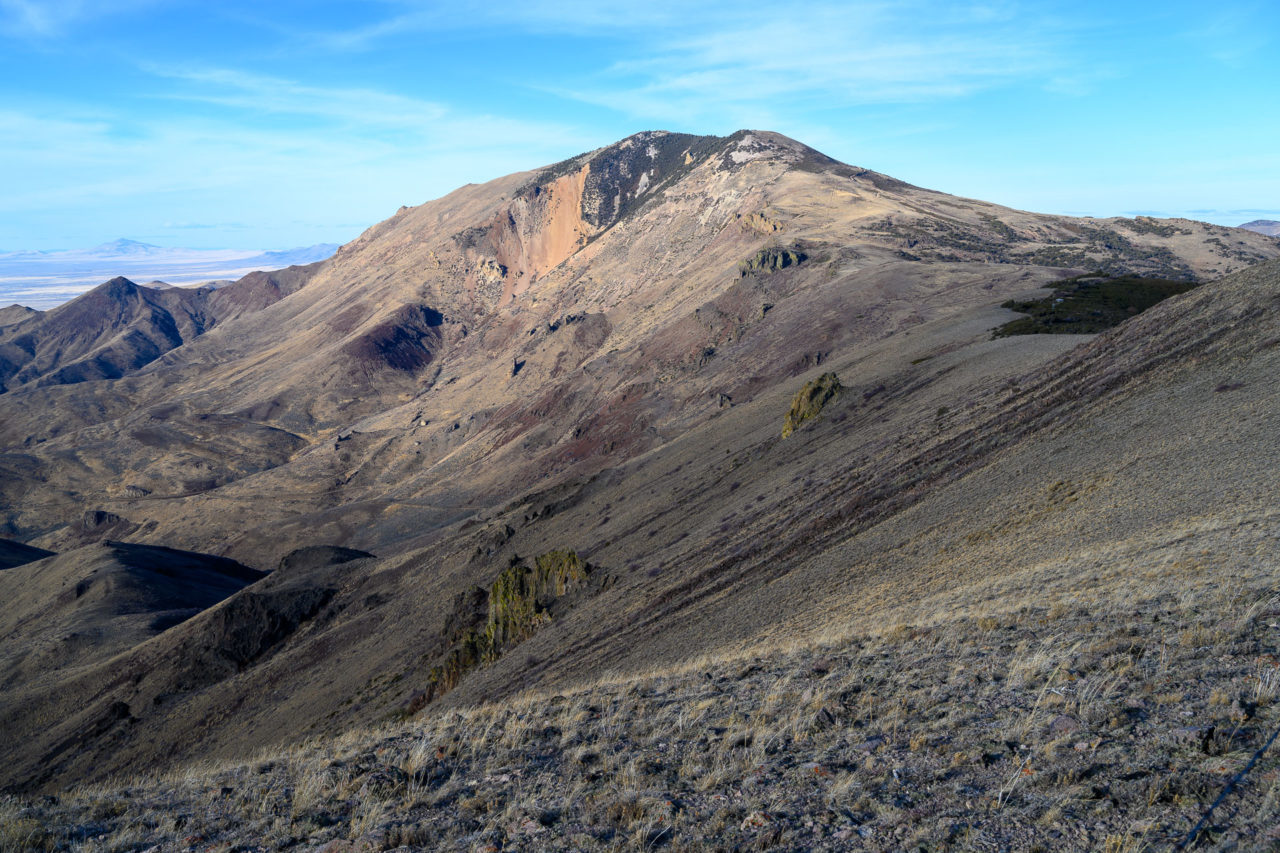
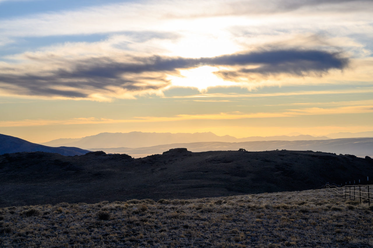
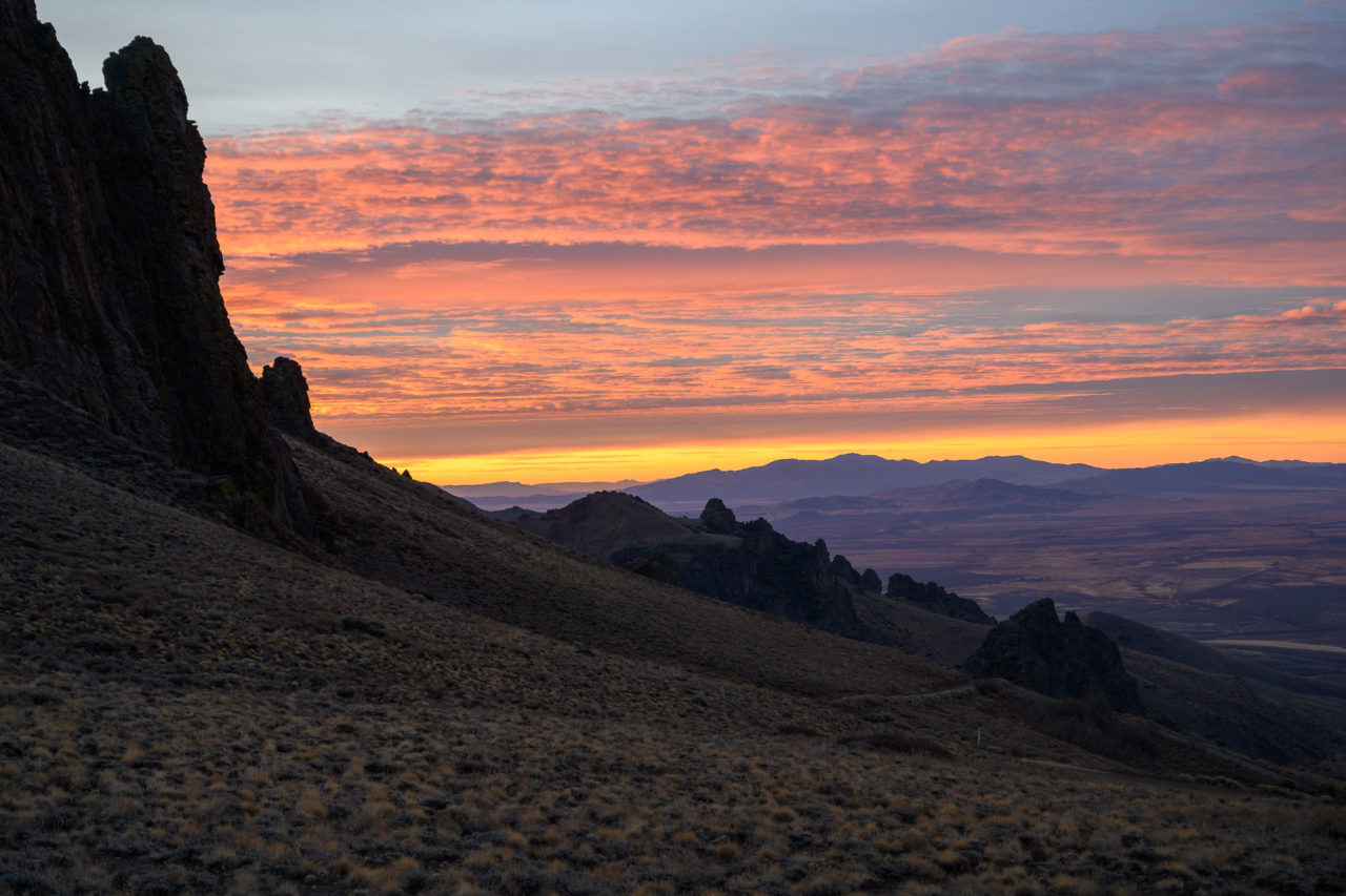
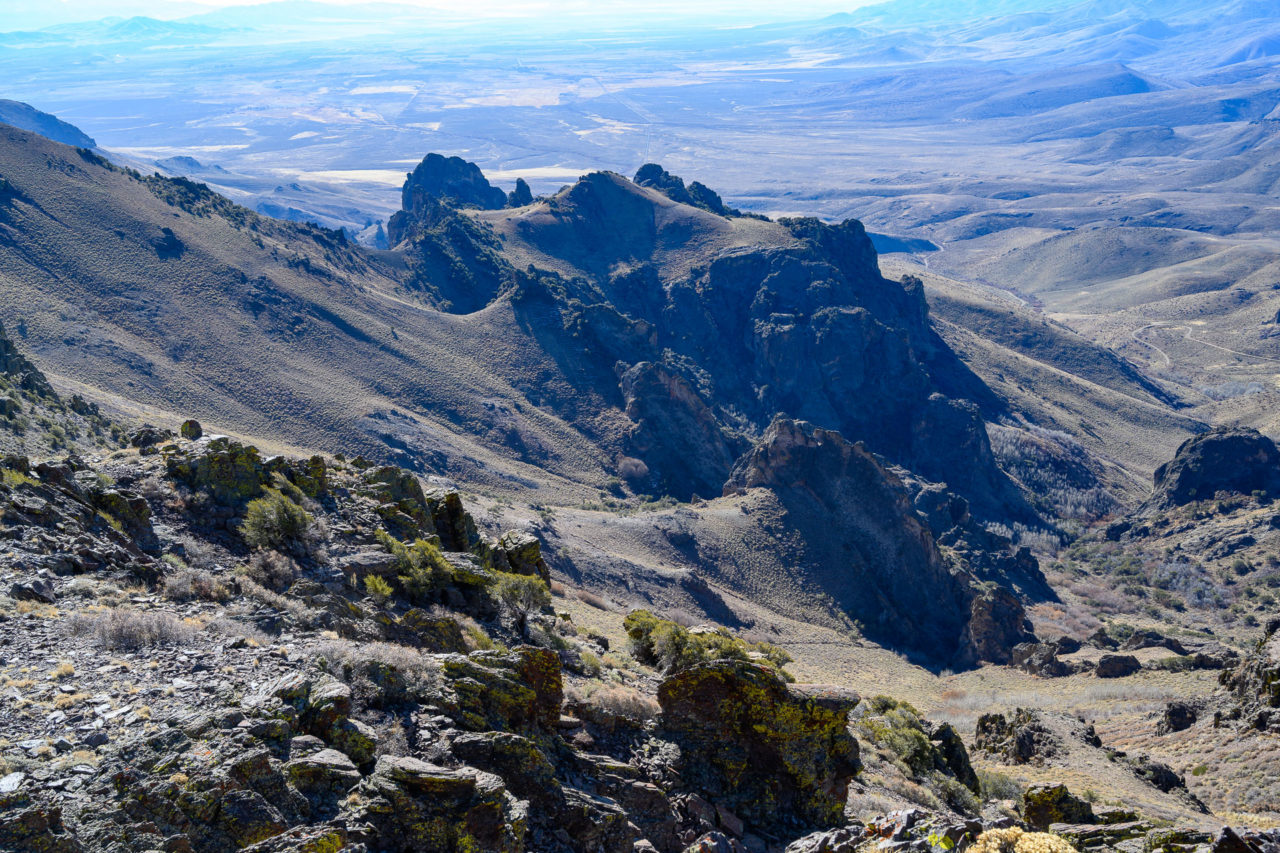
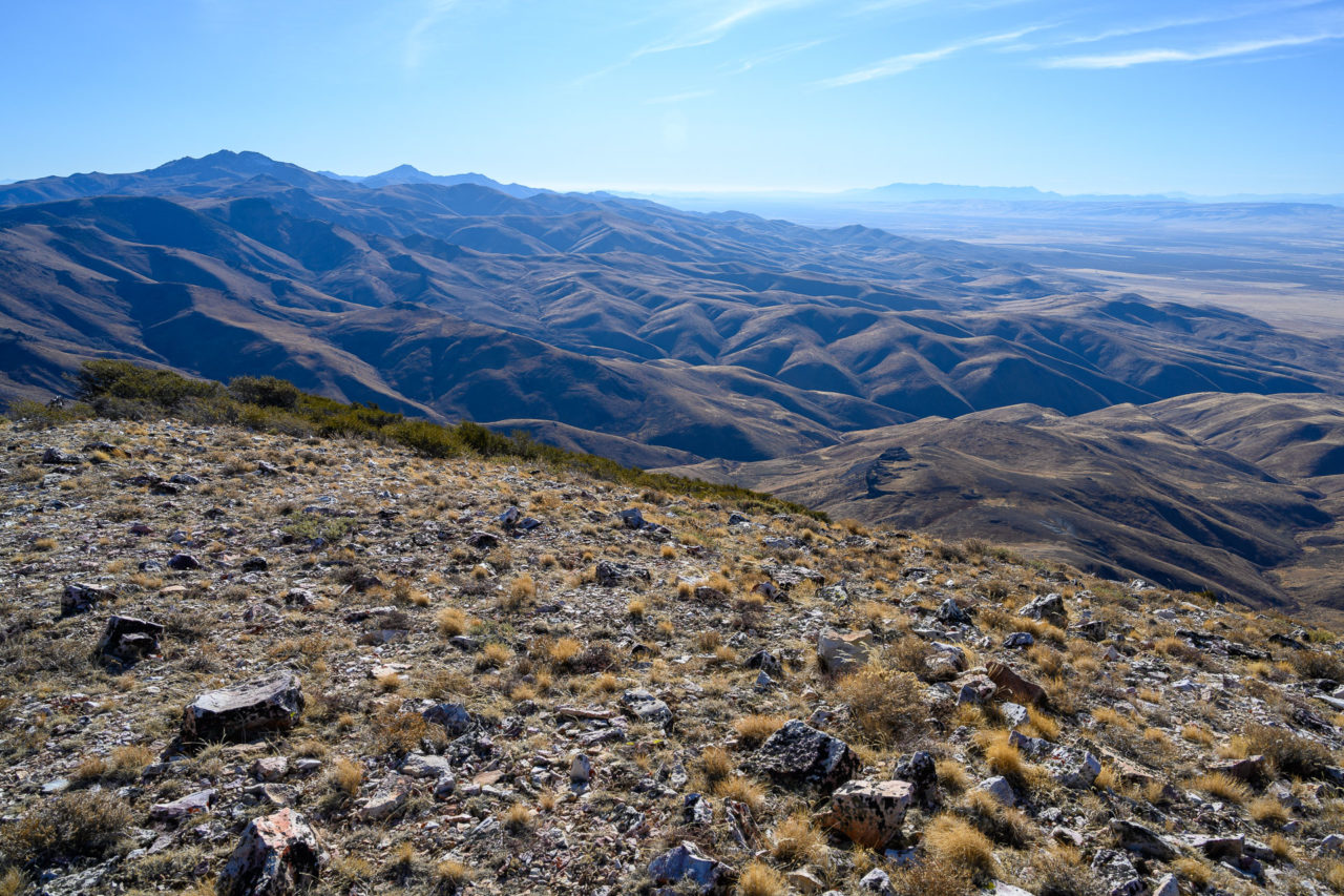
Peak 8300 was the last peak I planned to visit for the day. After dropping down to the saddle I continued on the west side of the ridge to avoid an area of thicker bush. Near the summit I followed the fence and some cow tracks up the ridge to the broad summit area. I arrived just in time to see the sun setting on Granite Peak. After enjoying the view I made my way back to the car along the same route, arriving back just in time to avoid needing to use the headlamp.