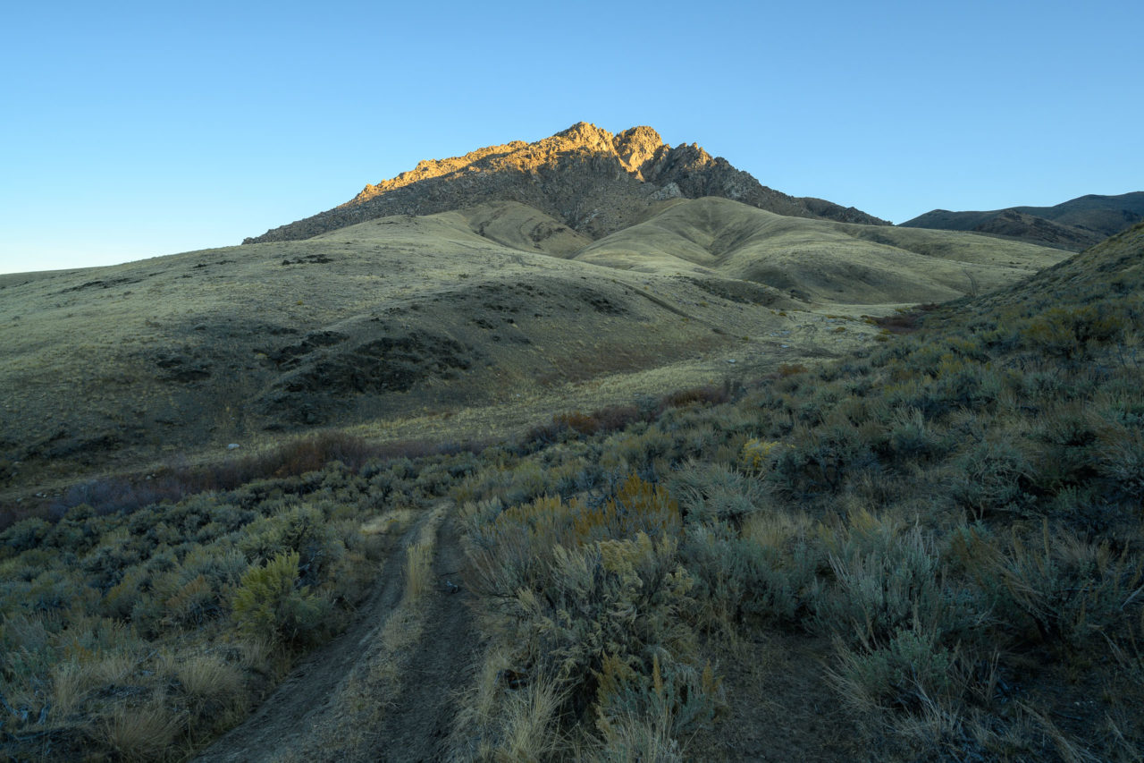
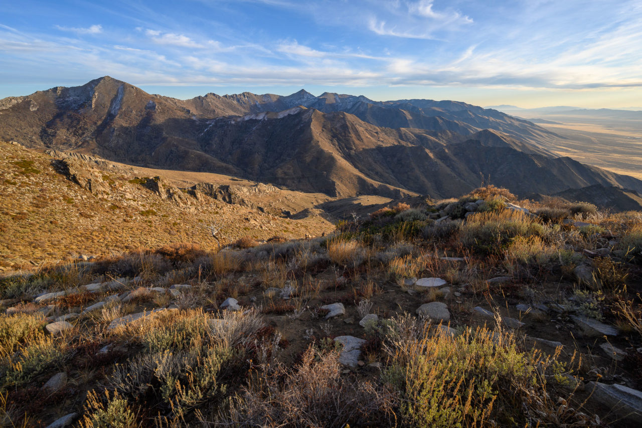
Santa Rosa Peak is the highpoint of the Santa Rosa-Paradise Peak Wilderness. I first became interested in visiting the area when planning a trip to Santa Rosa’s higher neighbor, Granite Peak, a P4K located roughly ten miles to the north on a connecting ridgeline. I chose an approach on the west side of the peak that would allow me to do a loop including Sawtooth Mountain, Peak 9023, and Santa Rosa Peak. A high-clearance dirt road begins at a rest area along Highway 95 on the east side that allows easy access to the base of the mountain. I drove in the night before with plans to get an early start the next morning.
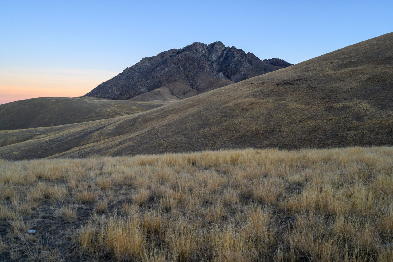
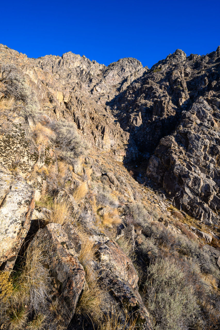
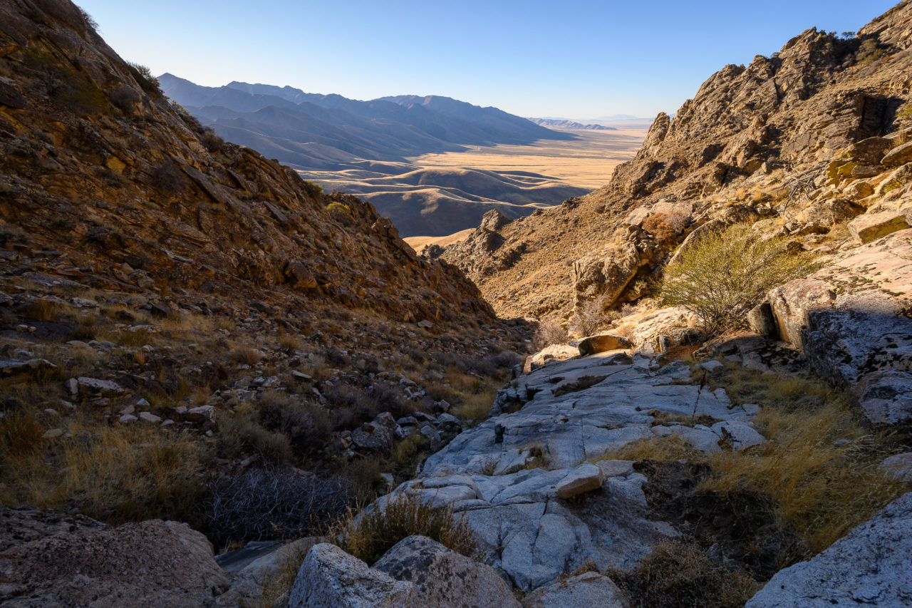
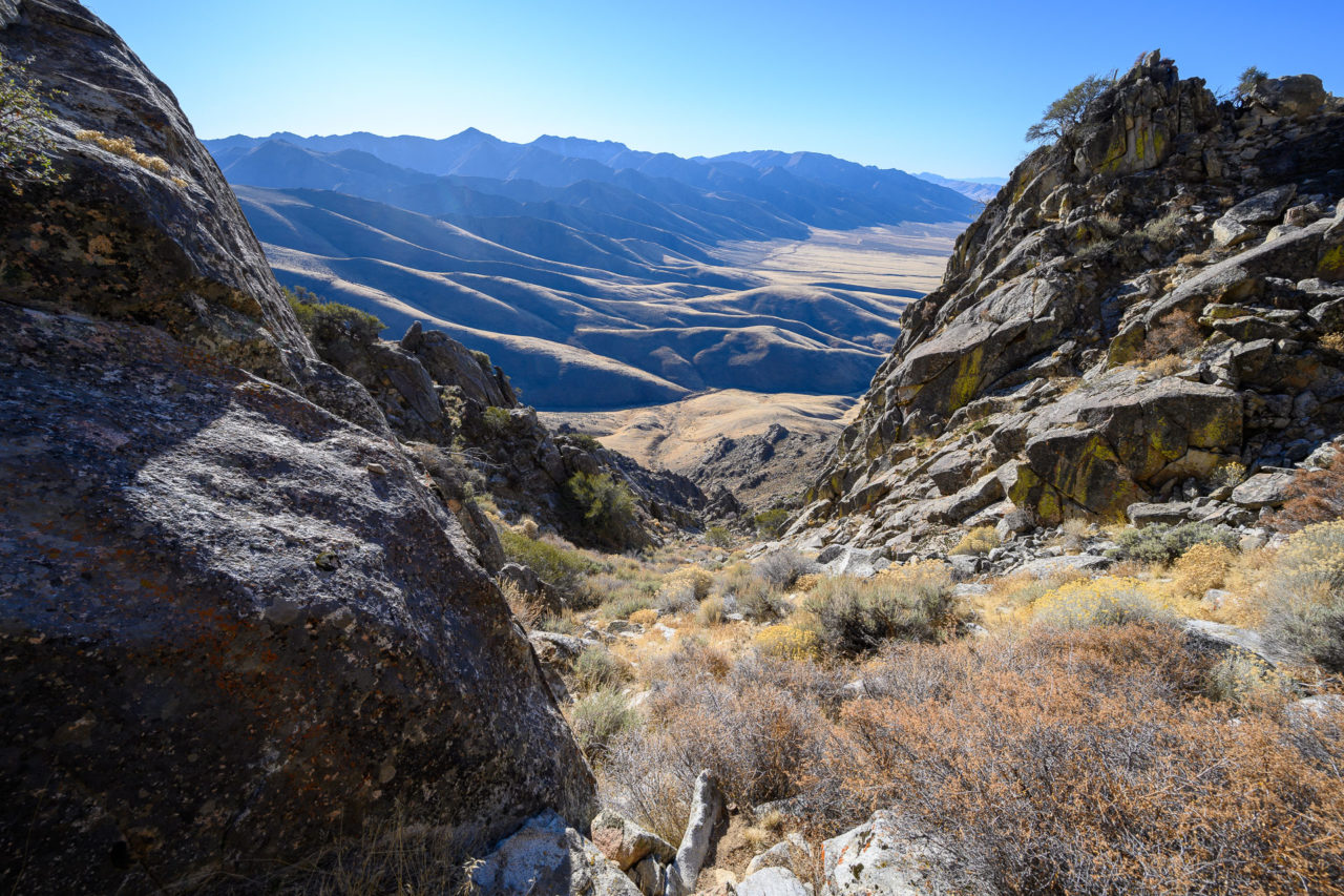
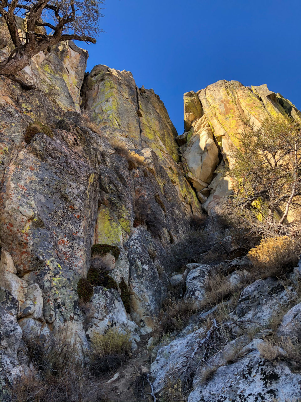
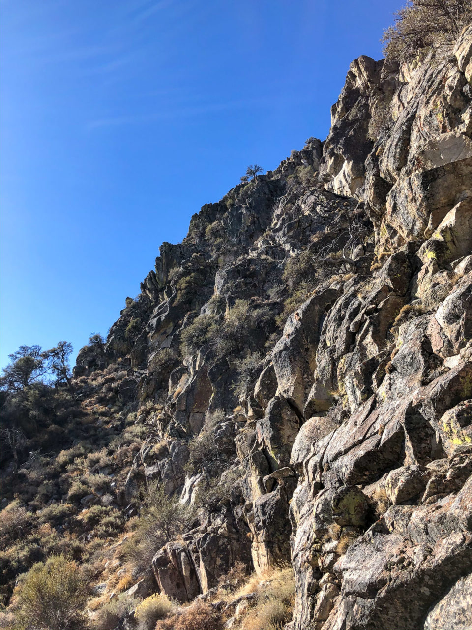
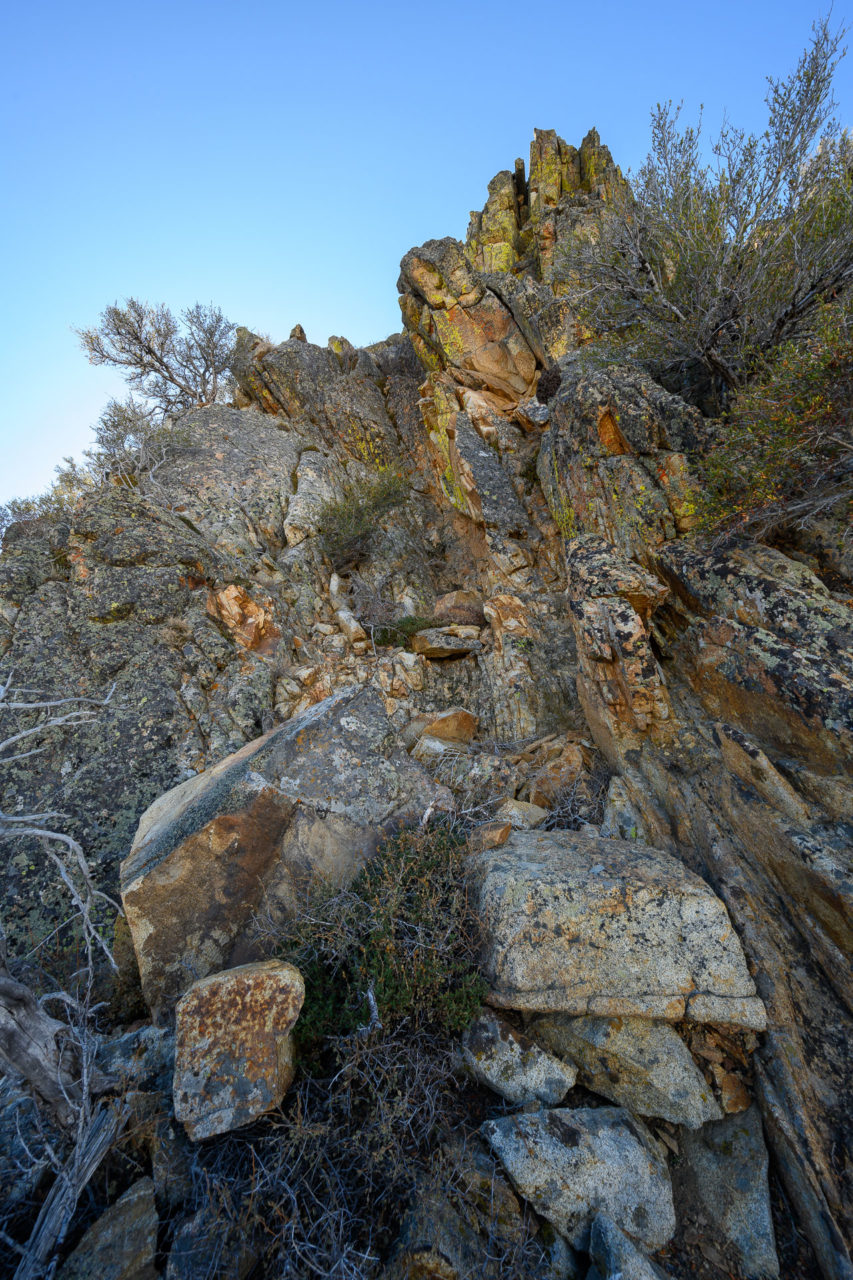
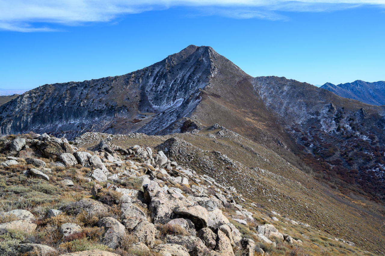
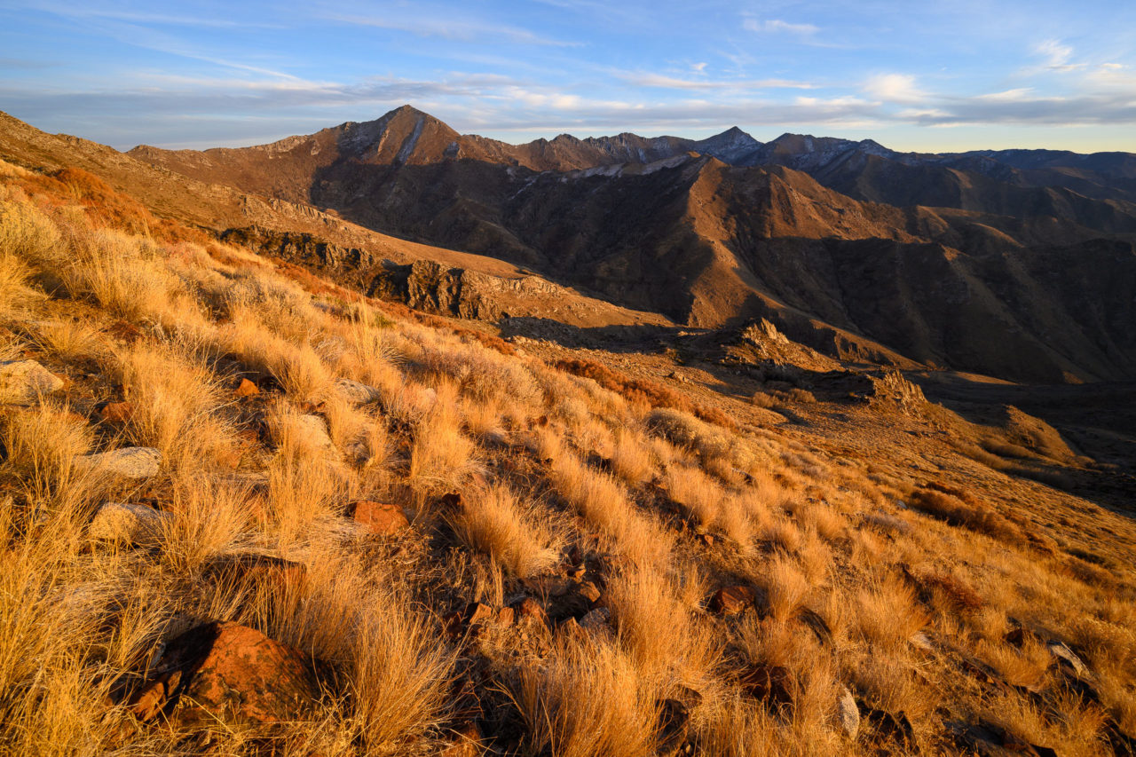
I could find very little information on Sawtooth Mountain when I was planning the route. Judging from the topo map and the name, I was assuming it would be a challenging traverse across the ridge leading to the highpoint, but I wasn’t quite sure what to expect. Starting off in the morning, I got my first view of mountain as the sun began to rise. From what I could tell from below, it looked relatively easy to make it up the initial rocky slope leading to the ridge, but the rest of the ridge extending back to the highpoint remained hidden from view. I crossed Rock Creek at the base of the mountain, still flowing well despite being late in the season, then made my way up the grassy slope leading to the ridge. Roughly half way up I traversed into the adjacent drainage, following a brushy route with a few short sections of Class 3 as I climbed towards the ridge.
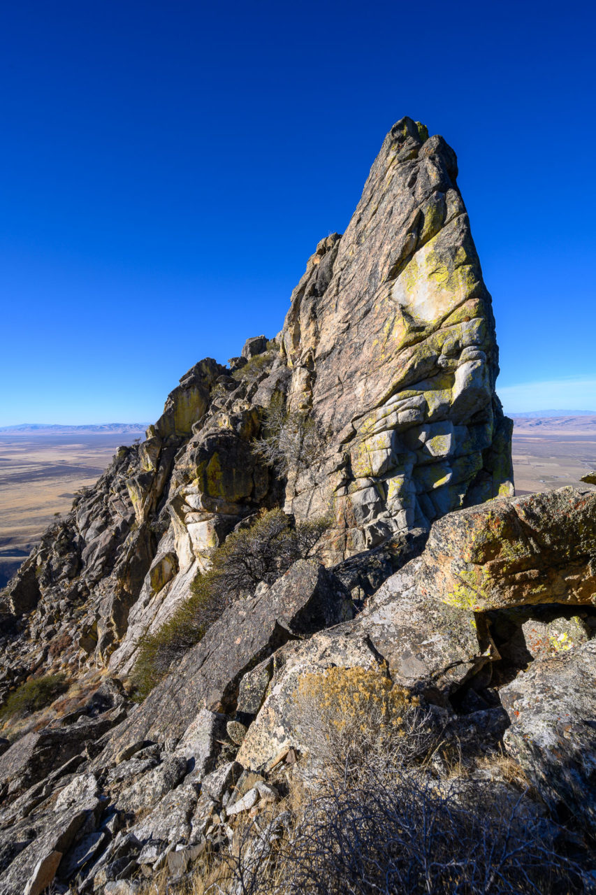
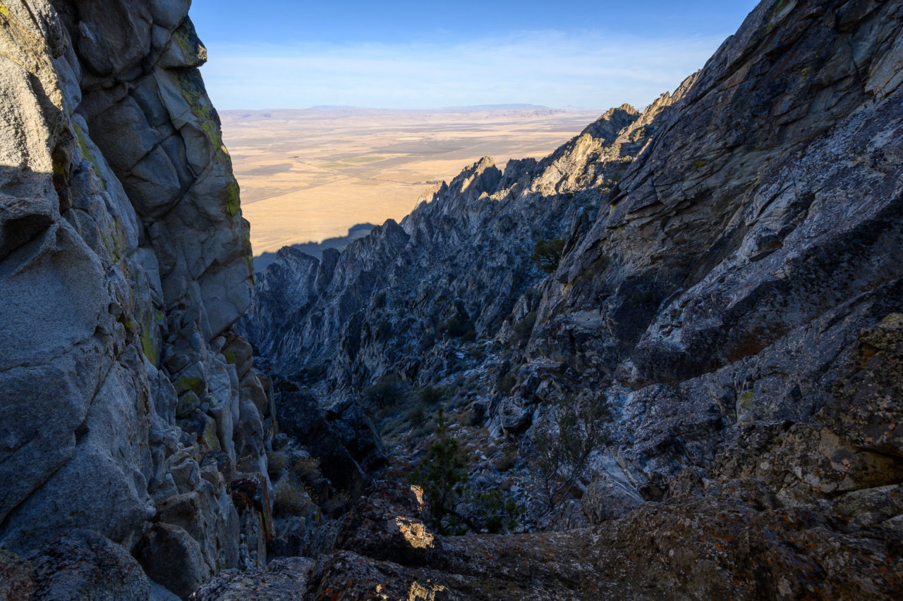
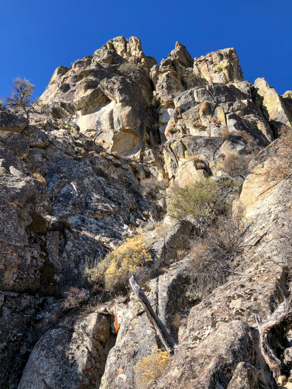
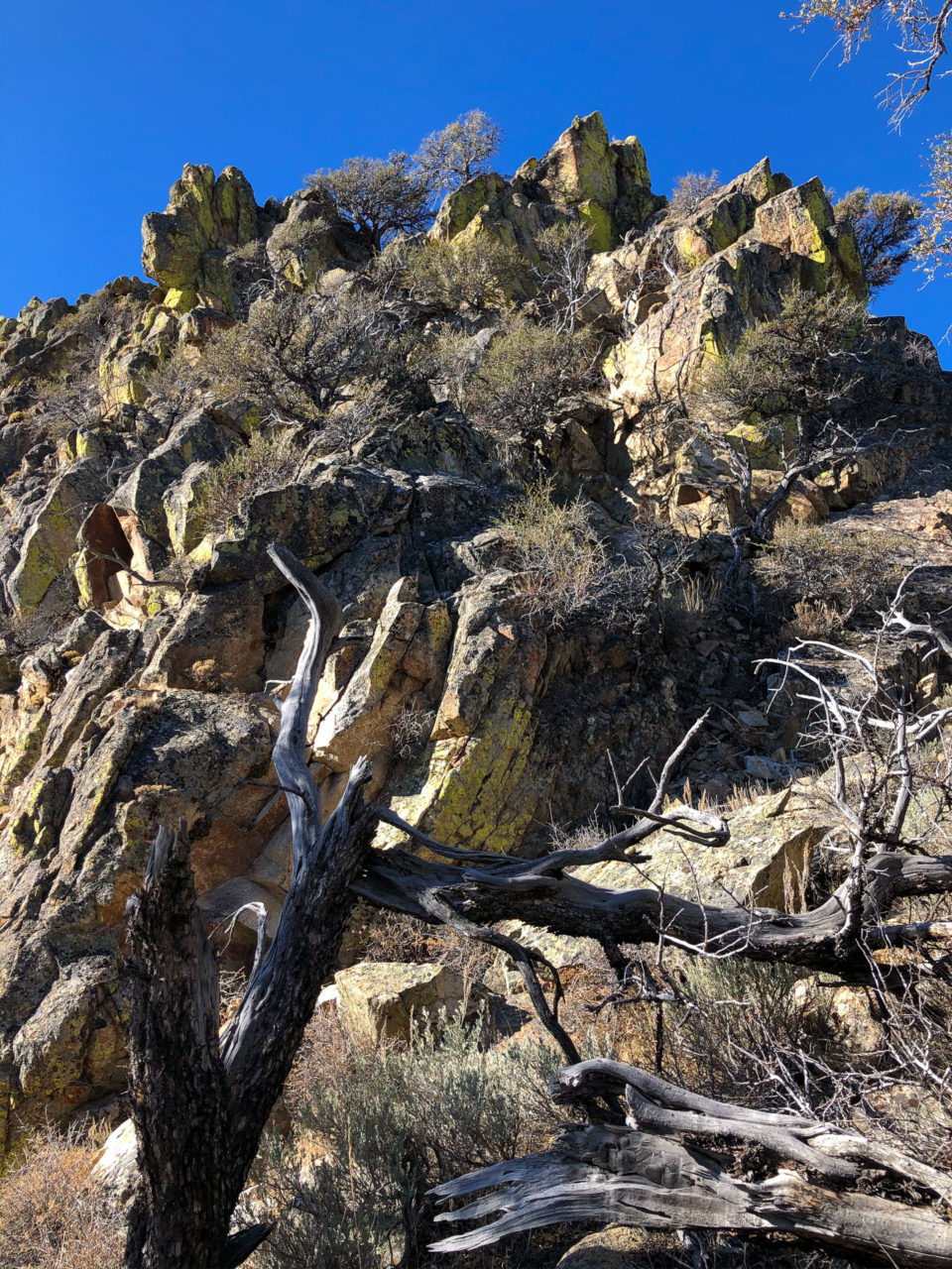
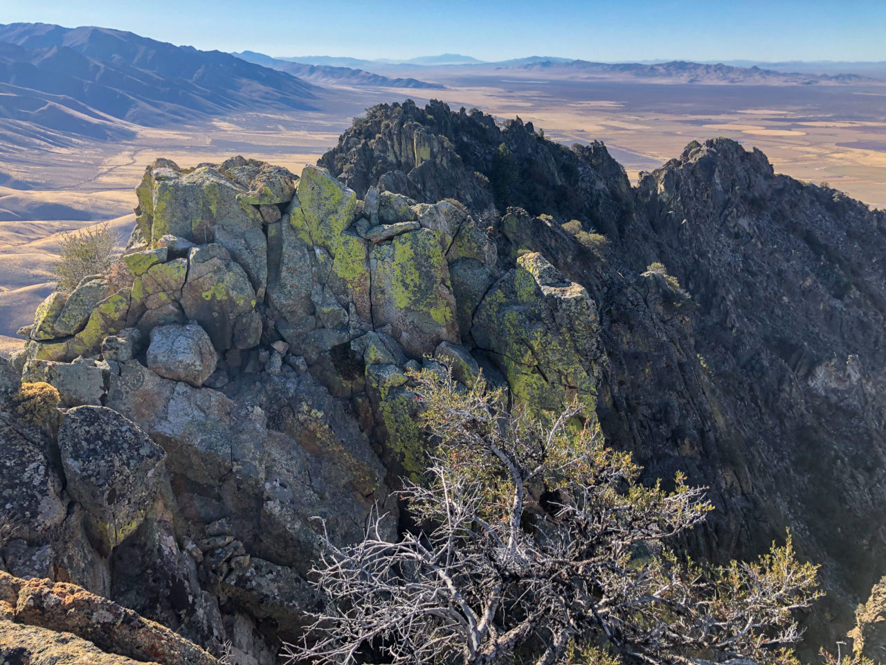
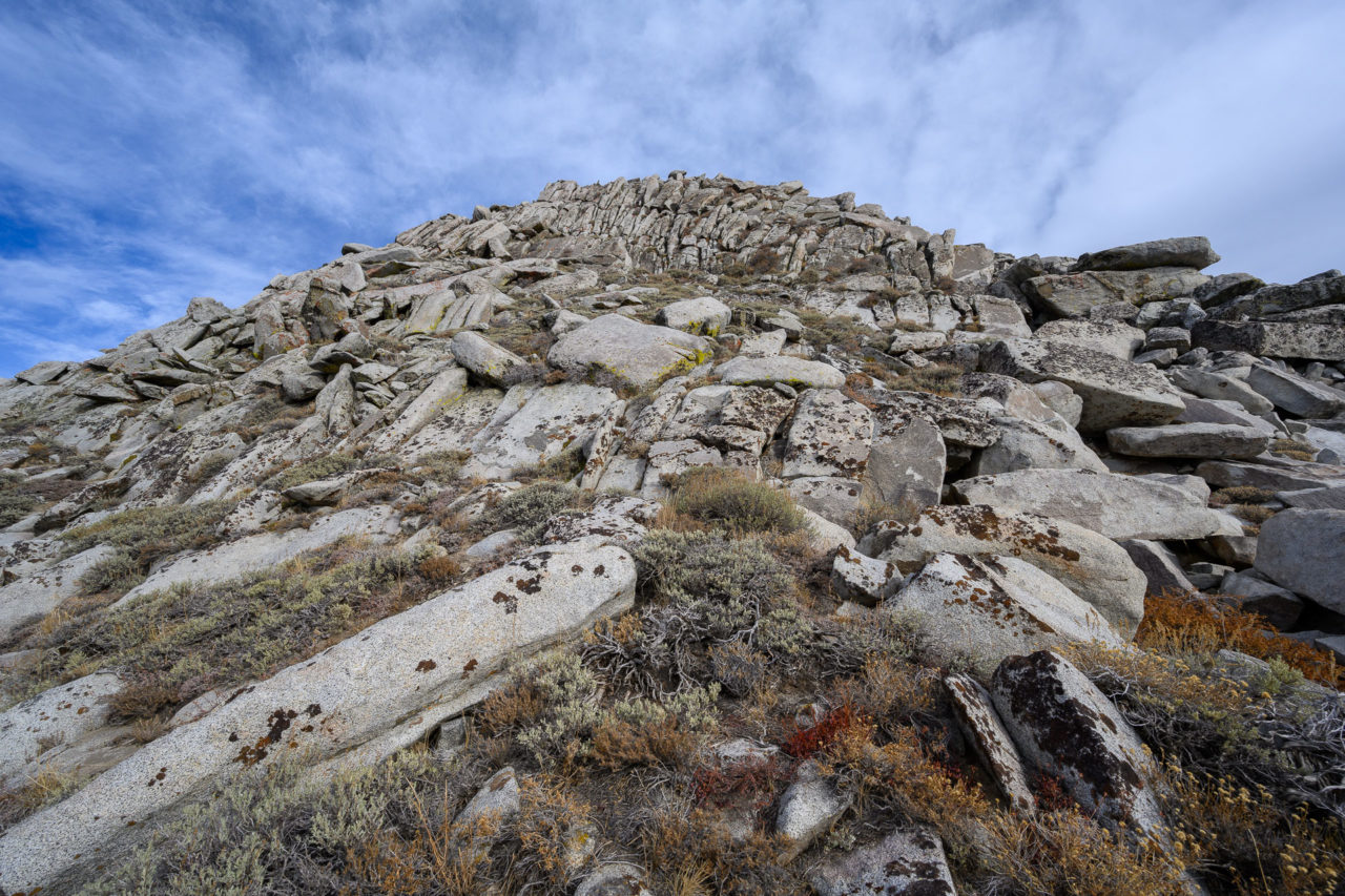
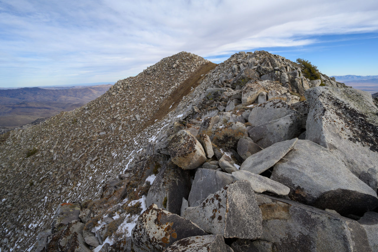
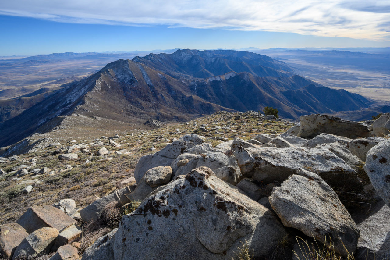
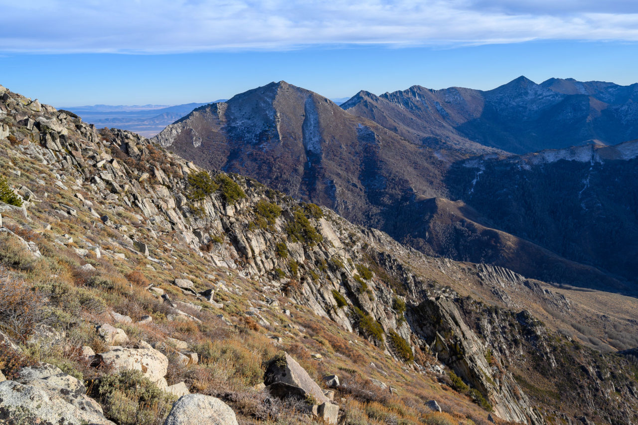
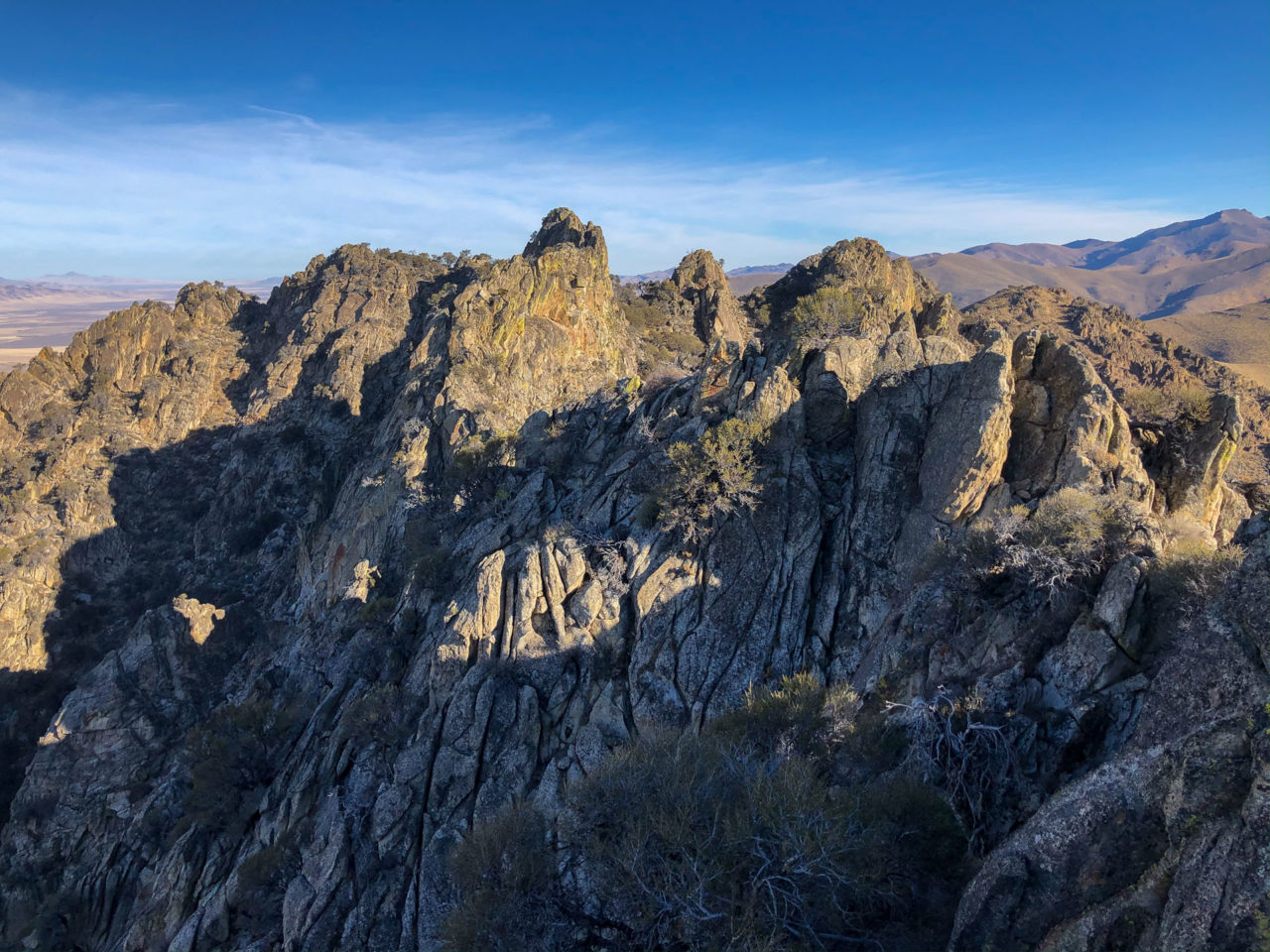
I topped out at a notch in the ridge with an imposing cliff immediately to my left. I could see the summit in the distance, but much of the connecting ridge remained out of view. The route ahead looked to be fairly difficult with steep cliffs guarding both sides of the ridgeline. I gained the ridge by climbing a short Class 4 face that led to the first local highpoint. Continuing a bit further, I ran into a cliff that blocked progress on the ridge. I followed a steep and brushy Class 4 route that zig-zagged down the east face for several hundred feet before eventually reaching easier ground below. A chute then led up most of the remaining distance to the summit. A final Class 3 climb was required to reach the highpoint, and by 10AM I was at the summit. In retrospect, most of the difficulties could have be avoided if I had continued further up Rock Creek and gained the drainage leading towards the summit, but that route wouldn’t have been nearly as interesting. On my way across the ridge I checked each of the three highpoints with a GPS and confirmed that the true highpoint is correctly marked on the map.
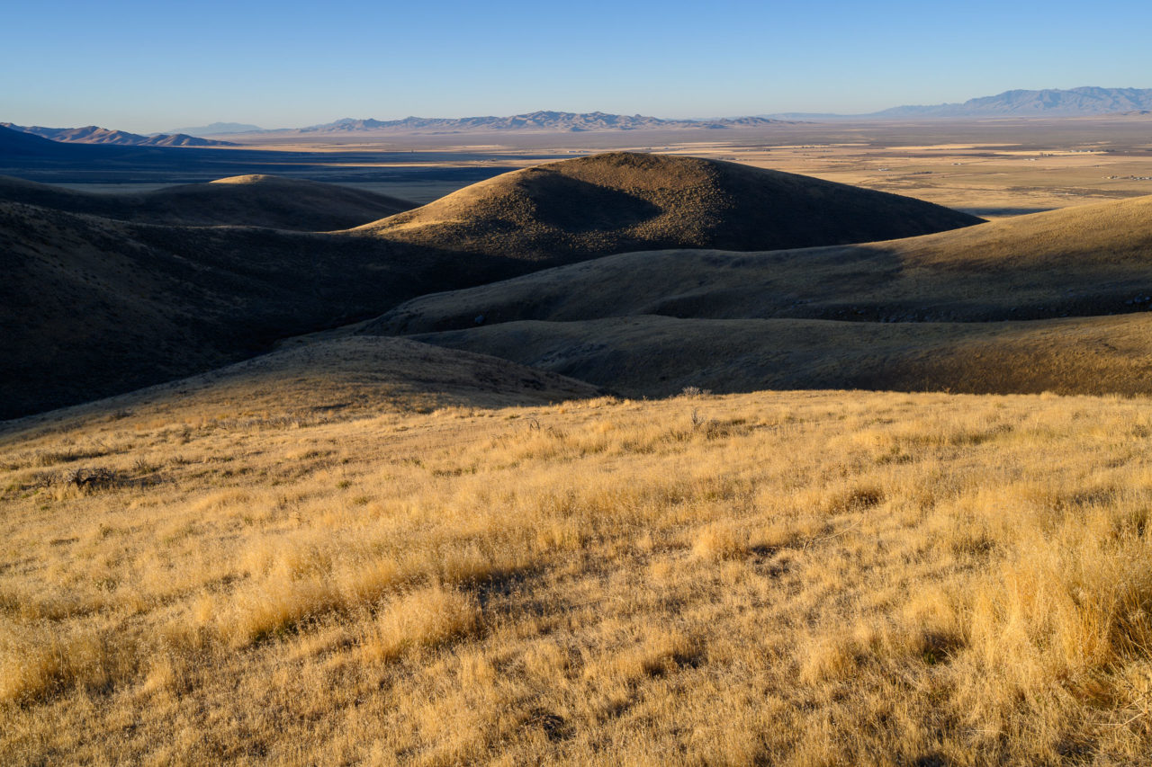
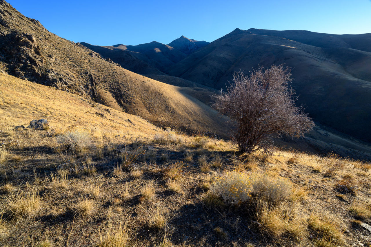
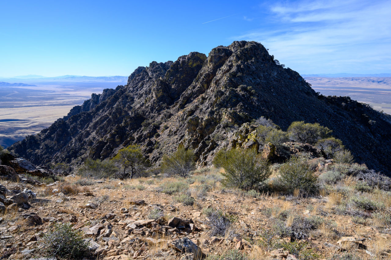
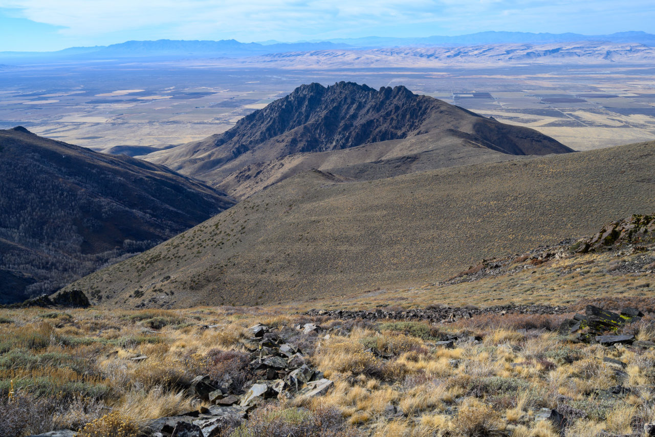
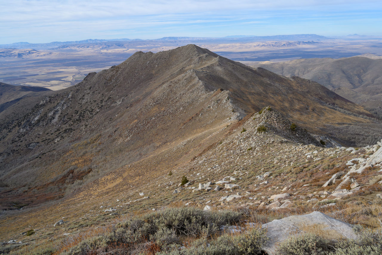
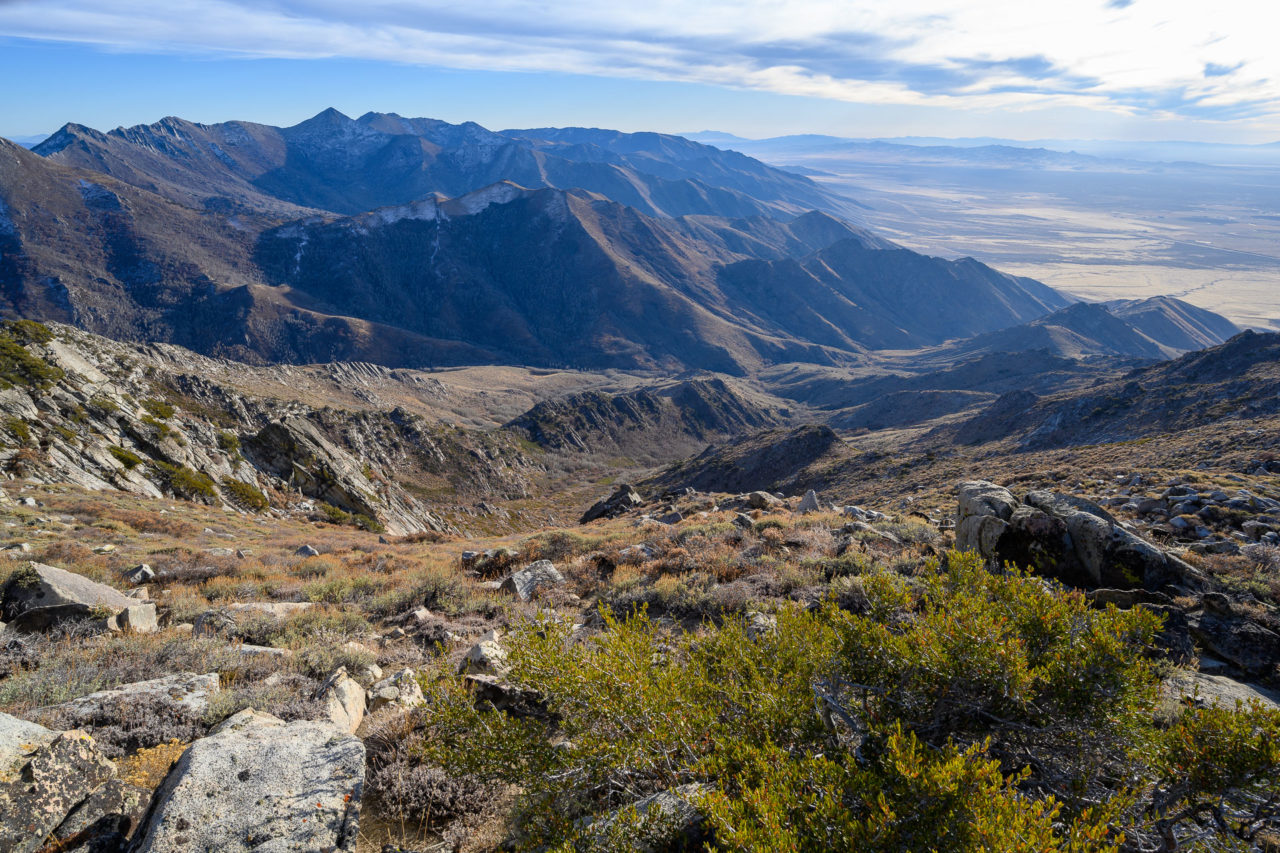
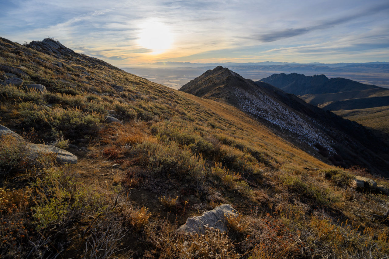
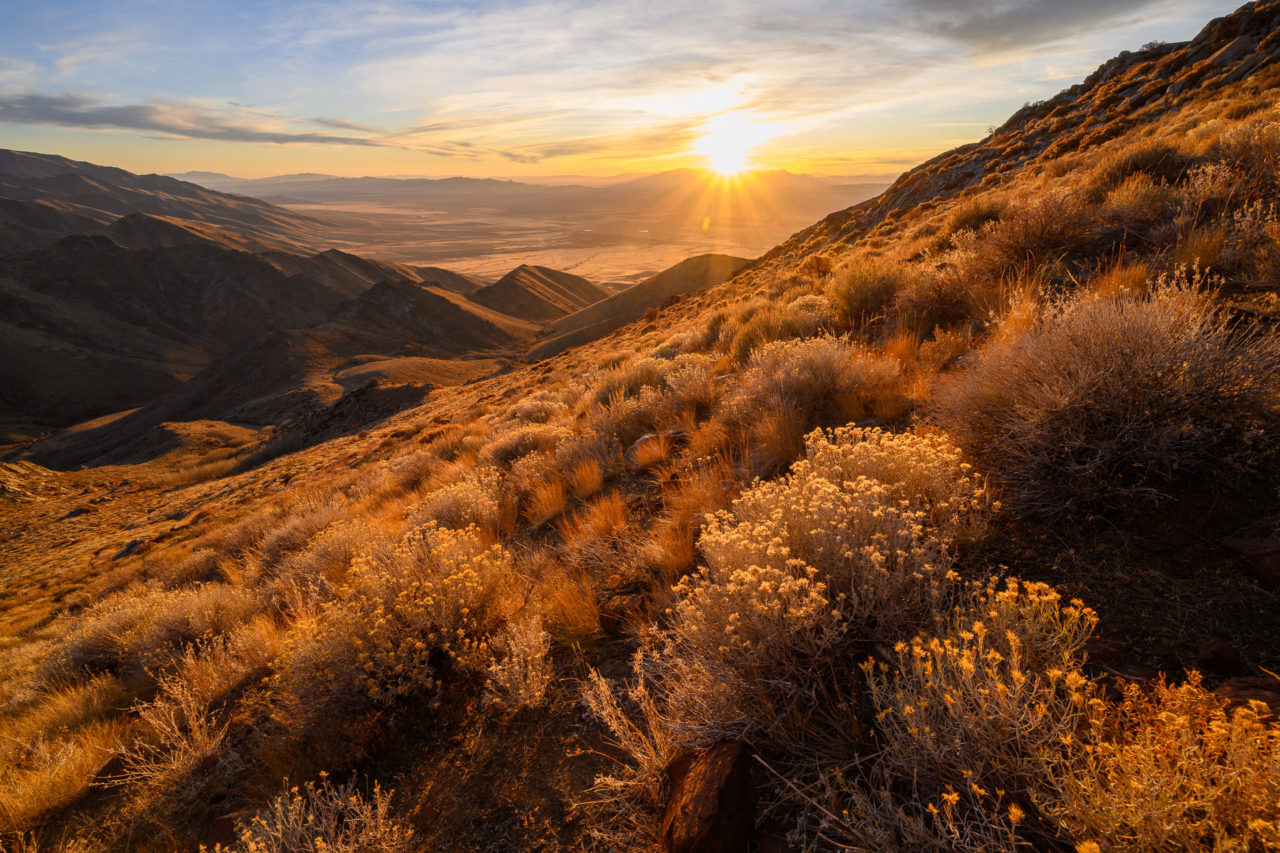
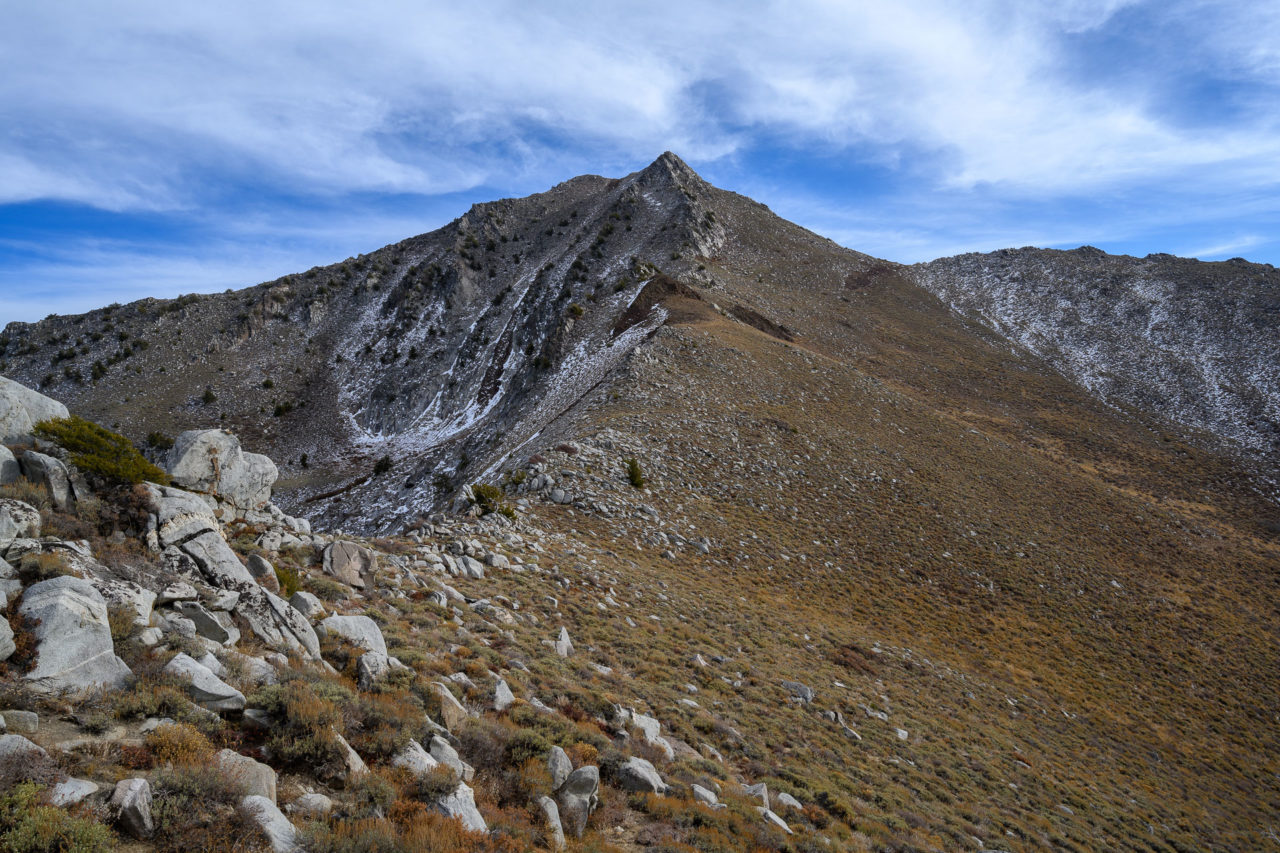
After enjoying the view from the summit I made my way down the remaining section of ridge, encountering a final Class 3 down-climb to reach the hillside below. The remainder of the afternoon was spent on more gradual open terrain. From the saddle, I climbed roughly 2000ft up the west ridge of Peak 9023. I arrived at the summit by mid-afternoon. After taking a short break I continued towards Santa Rosa Peak, the main objective for the day. A short section of Class 2-3 scrambling led to the summit. With over 2000ft of prominence, Santa Rosa Peak provides a commanding view of the north end of the Santa Rosa-Paradise Peak Wilderness. To the north I could see Granite Peak that I planned to visit the following day, and to the south I could see Paradise Peak that I plan to visit on a future trip.
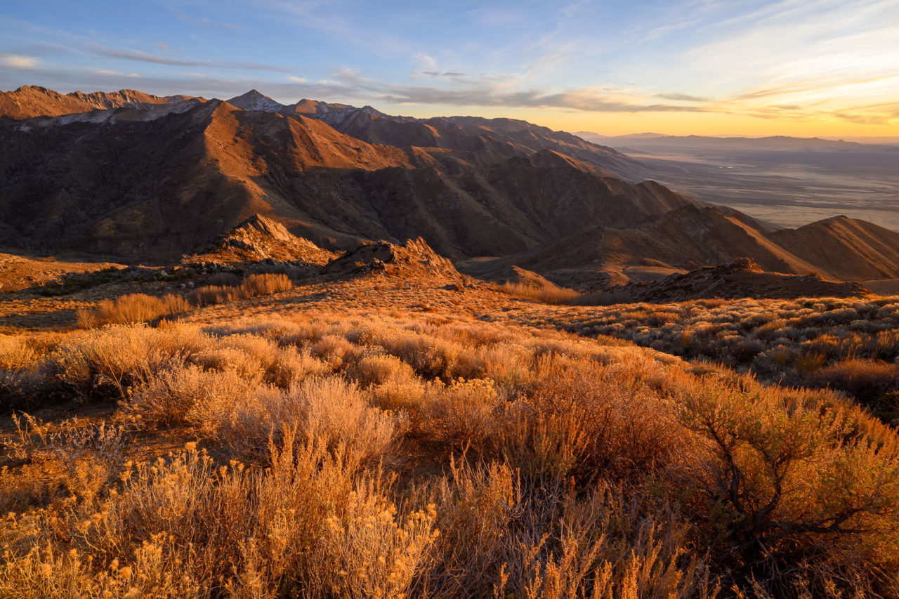
To complete the loop I was planning to return on the trail that leads into the McConnell Creek basin. I followed the west ridge for a little over a mile then cut down the hillside towards McConnell Creek. Near the bottom I startled two large male elk that went crashing into a nearby grove of aspens. I reached the creek just as it was starting to get dark. At first I didn’t see much sign of the trail, but soon picked up the track. The trail was slightly overgrown, but still easy to follow. There was a nearly full moon casting some impressive shadows on the canyon wall as I made my way down the remaining two miles to exit the canyon. The trail transitioned to a dirt road at the mouth of the canyon. To get back to my car I left the road and went cross-country for a little over a mile to meet up with the road I had started from earlier that morning. A short hike down the road brought me back to the car.