Sunrise on Porter Peak from near where I spent the night.
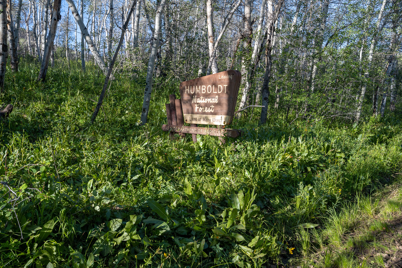
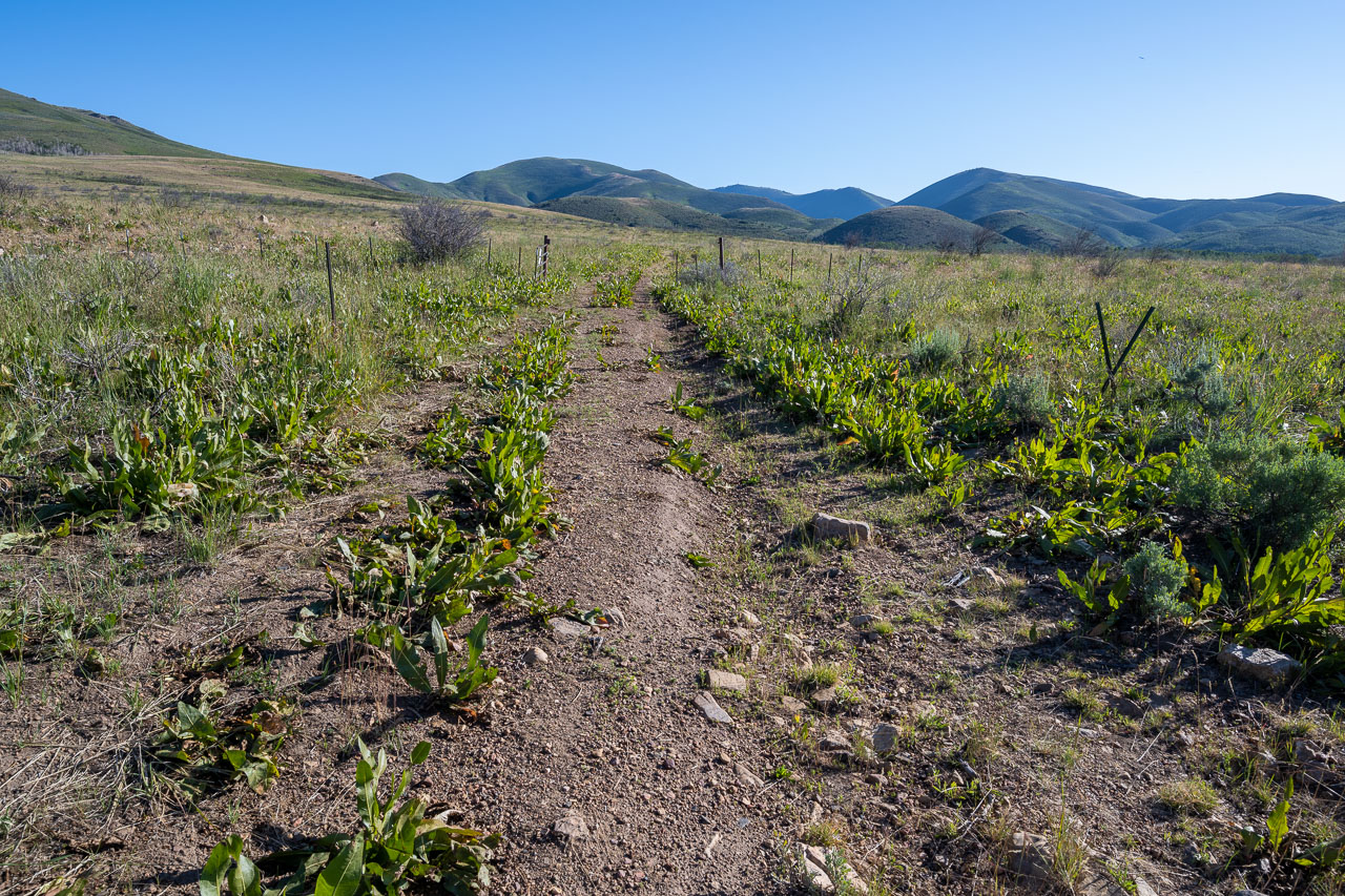
Initial hike along the road to make the loop possible.
Old road branching off the main road that I followed briefly before cutting up the hillside toward Porter Peak.
Porter Peak from below.
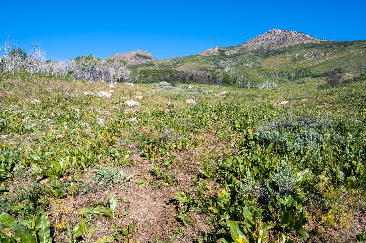
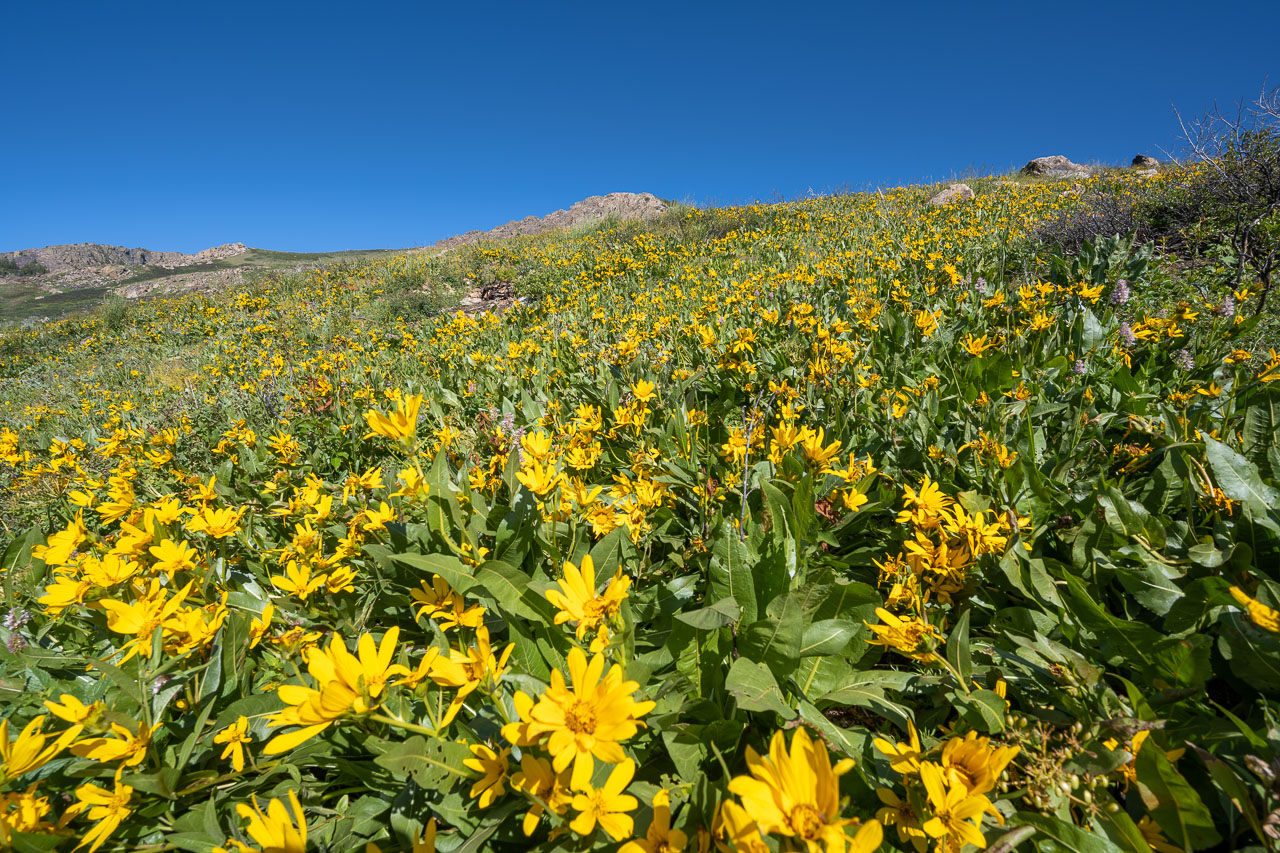
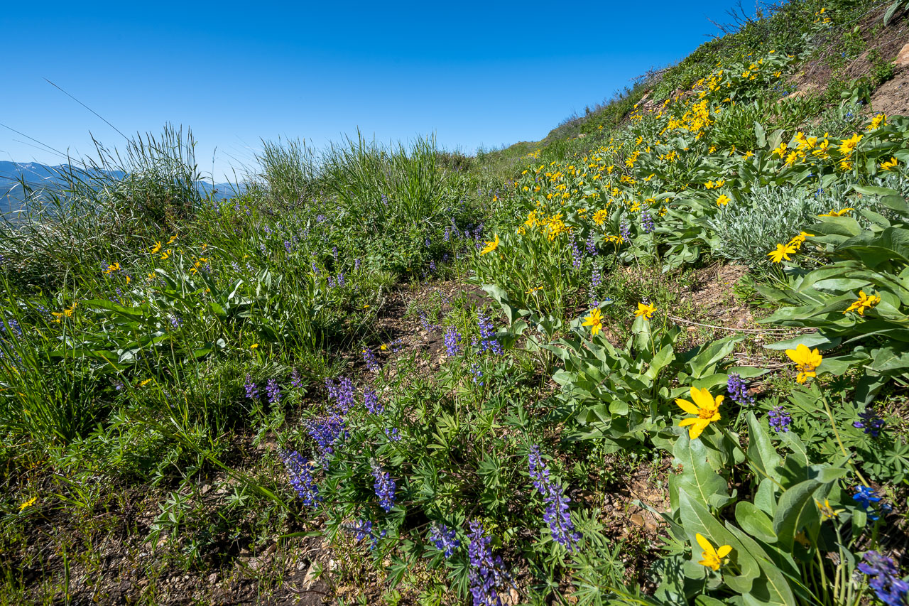
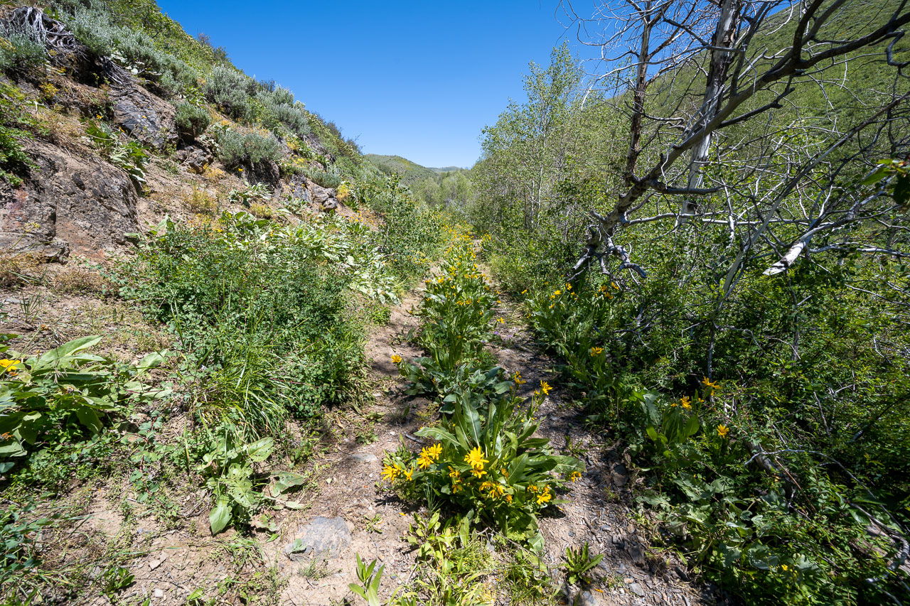
Crossing a field of flowering Bear Grass.
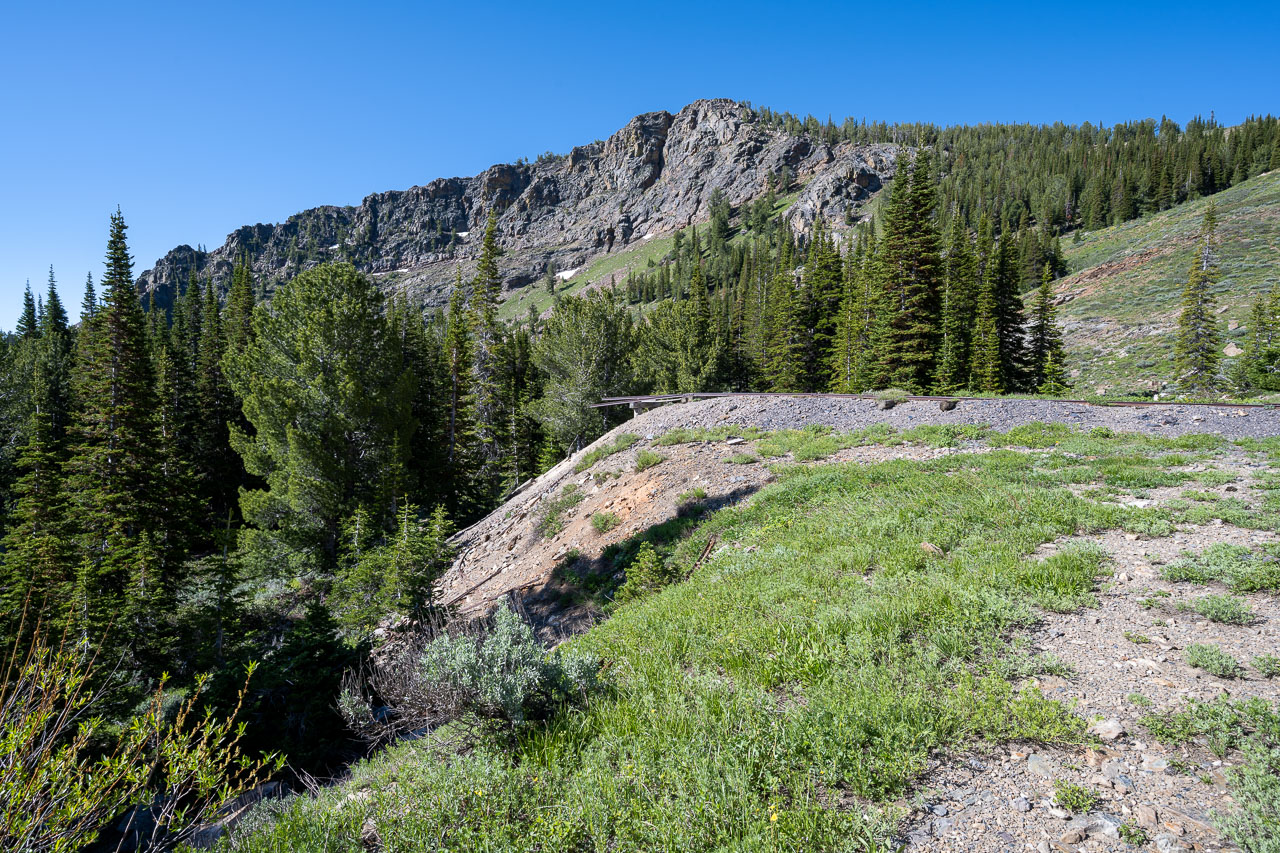
Eventually I joined an old mining road that led to south side of Porter Peak. The road eventually ended at the Riddle Mine.
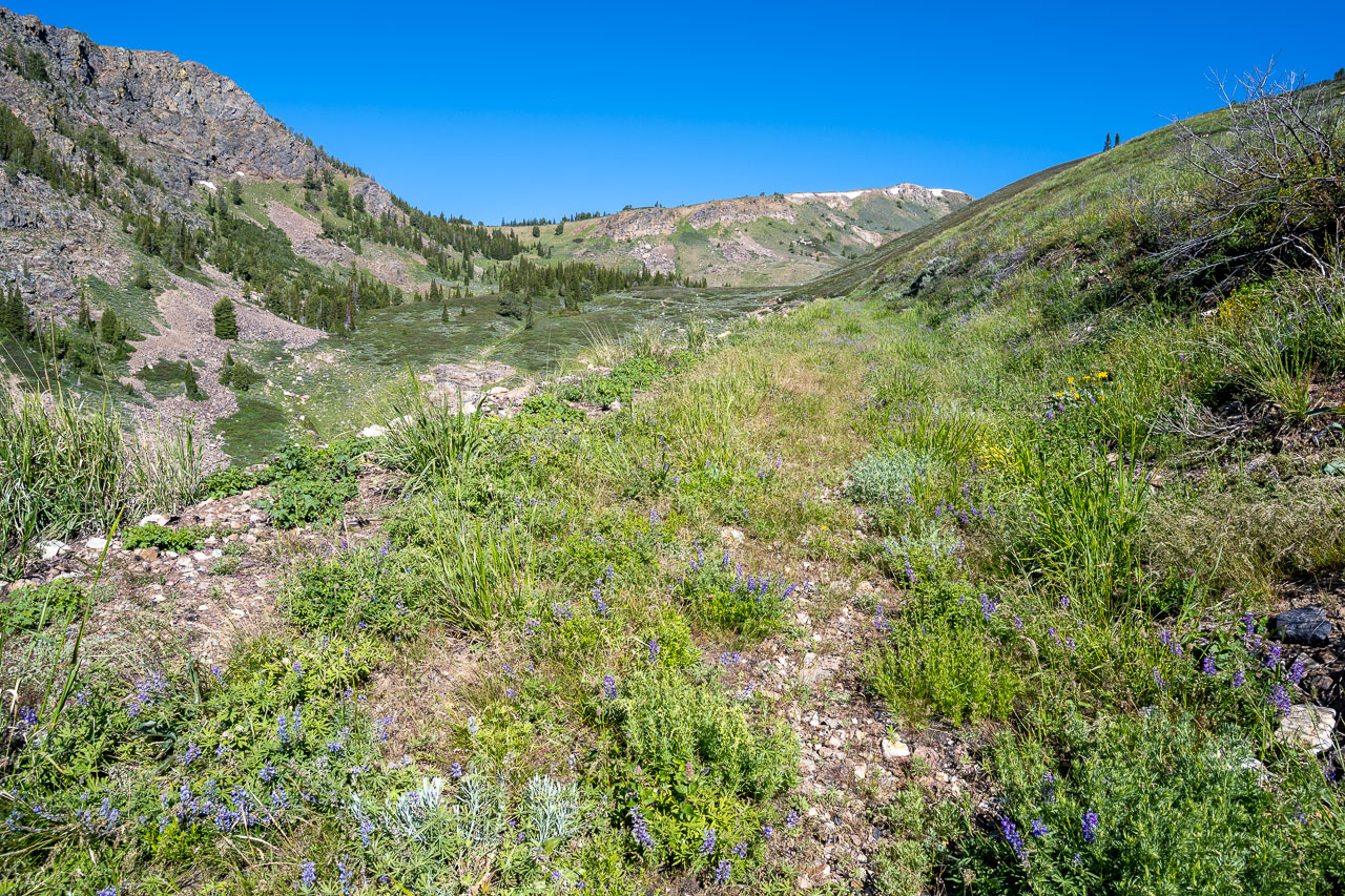
Porter Peak at the head of the valley.
Arriving at the Riddle Mine. There was an old rail line extending out from the side of the mountain.
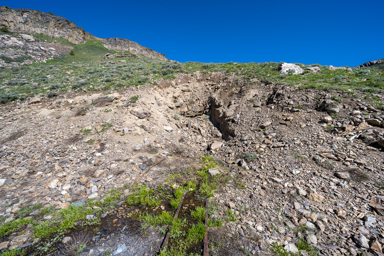
Collapsed tunnel at the mine. There was a small gap where I could see inside the tunnel. The rail line was submerged under several feet of water.
Wilson Peak to the south.
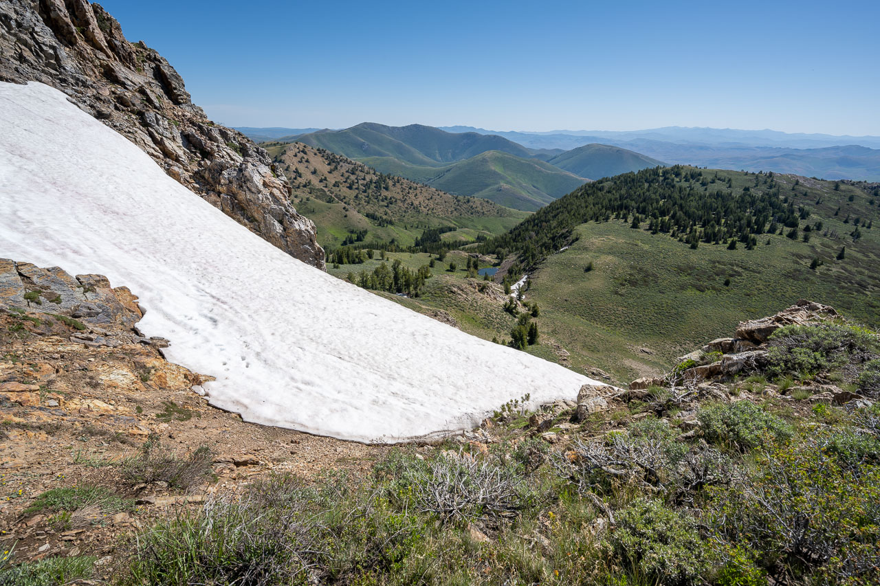
Small patch of snow near the summit of Porter Peak. Pennsylvania Hill visible in the distance.
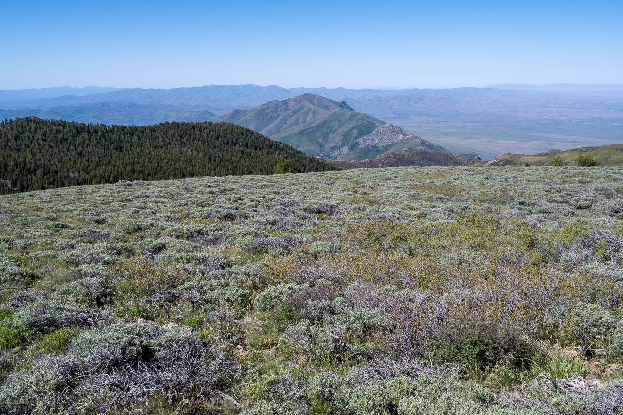
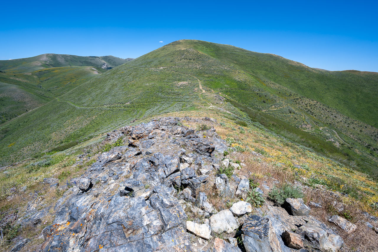
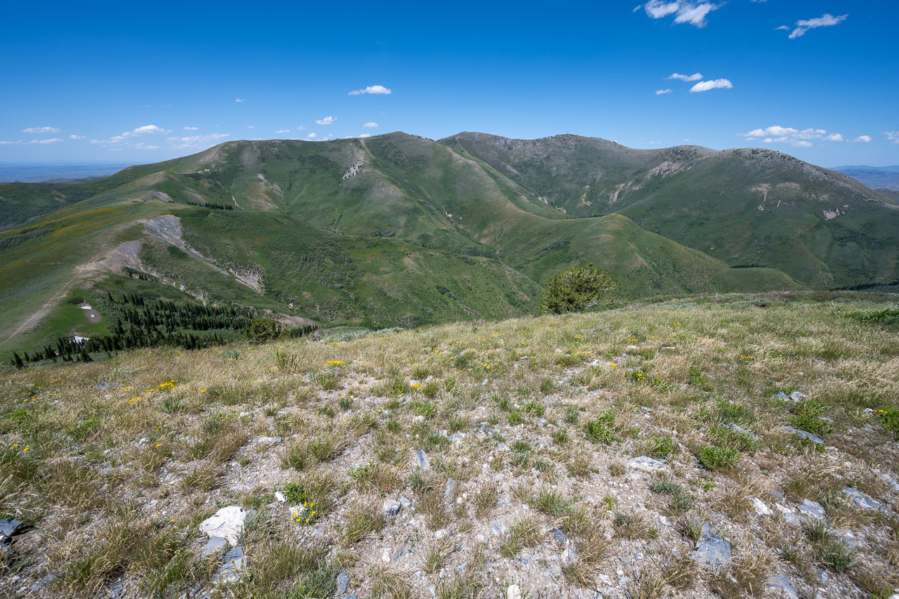
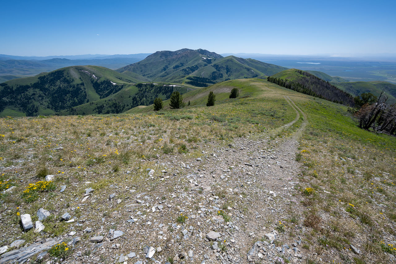
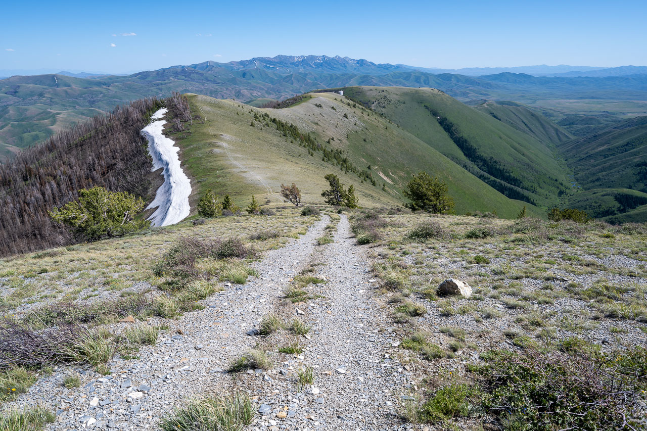
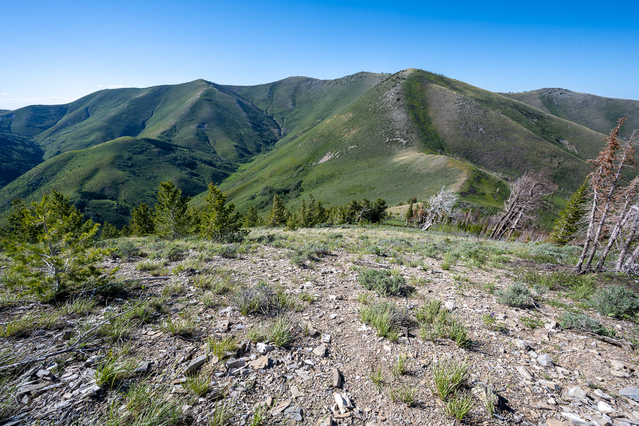
View northeast from the summit showing the peaks that I would travel over for the rest of the afternoon.
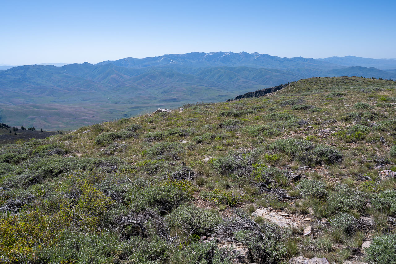
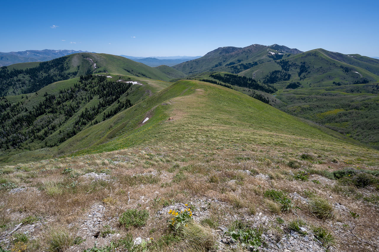
McAfee Mountains to the south. My route the following day would traverse the ridge visible in the distance.
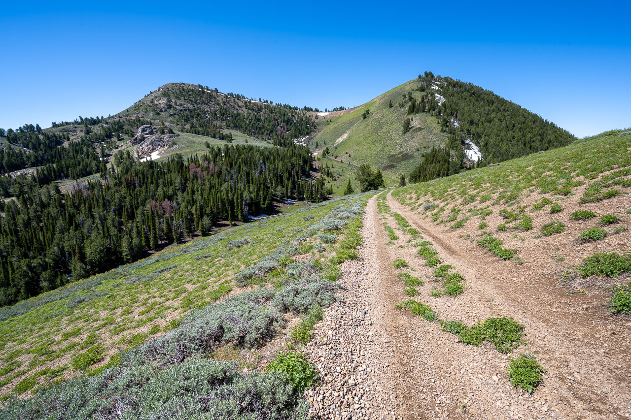
Porter Peak (left) from below. The shortest approach to Porter Peak follows the 4WD road up Rock Creek, which eventually leads to this side road.
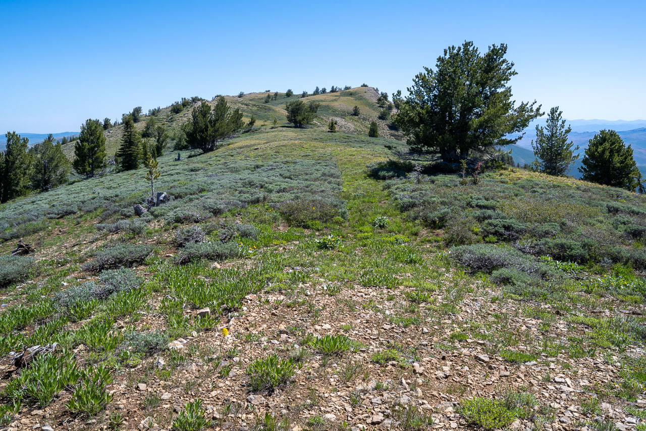
Peak 8986
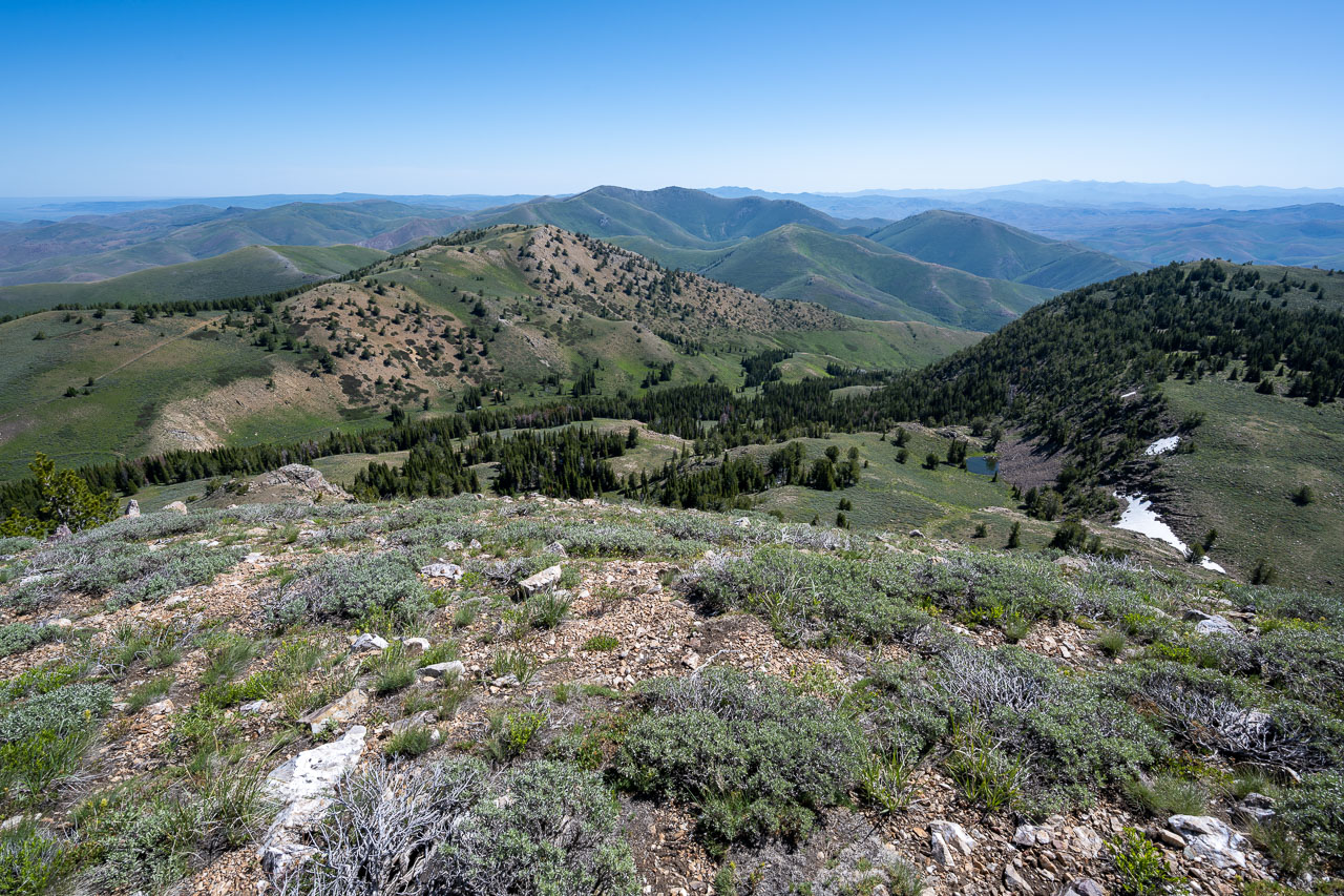
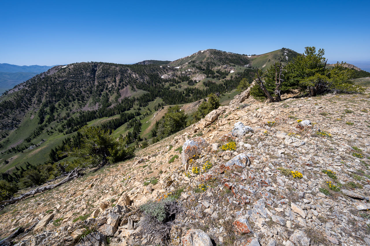
View back to Porter Peak from the summit of Peak 8986.
Blue Jacket Peak
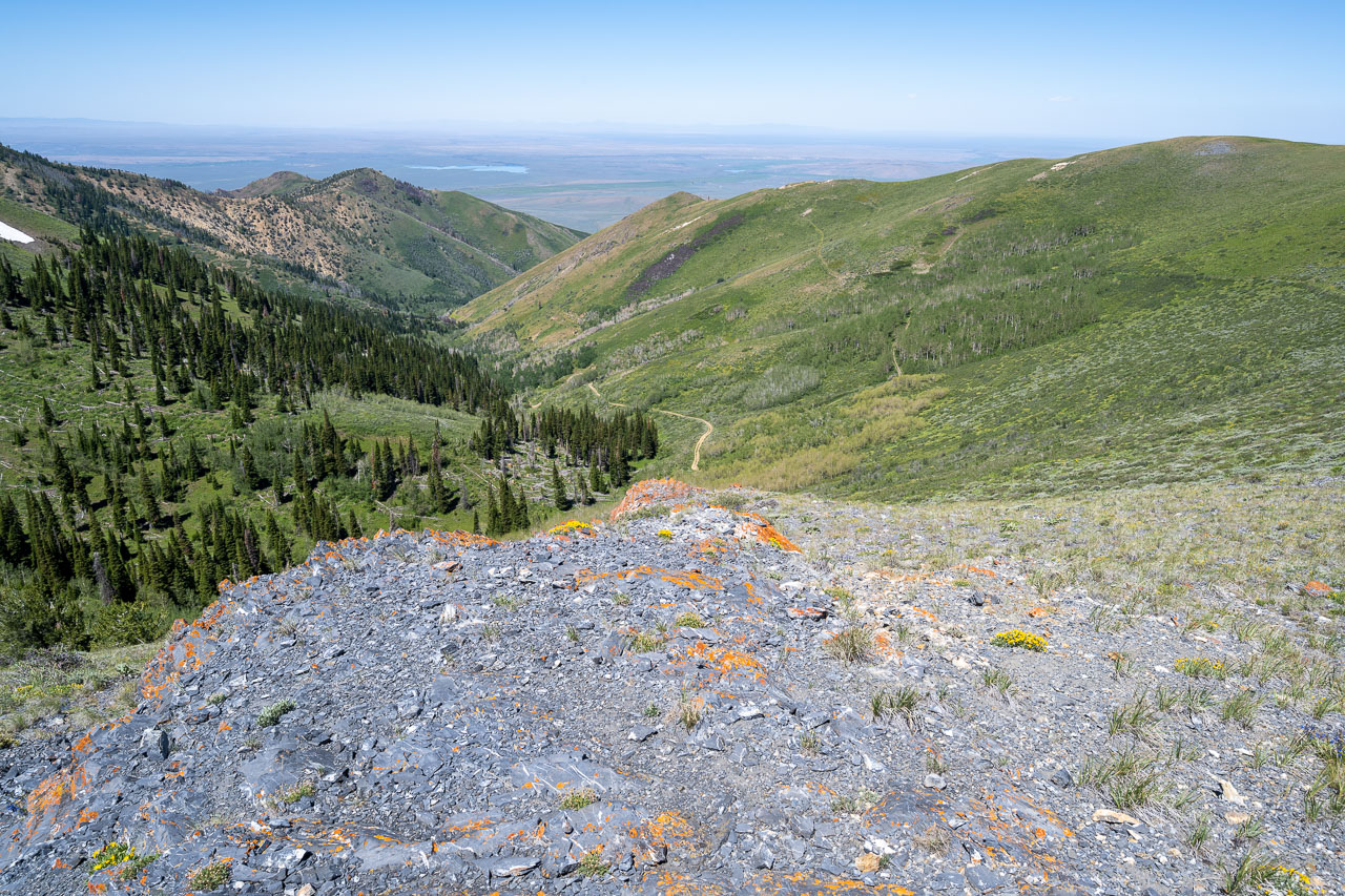
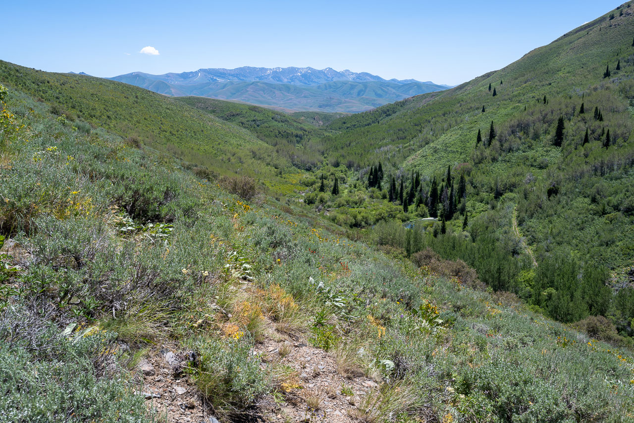
View down Rock Creek with the 4WD road visible on the right.
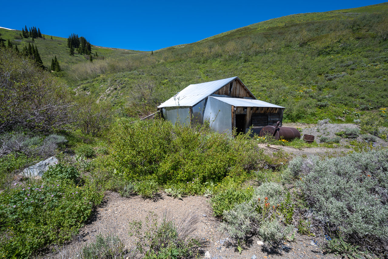
Blue Jacket Mine
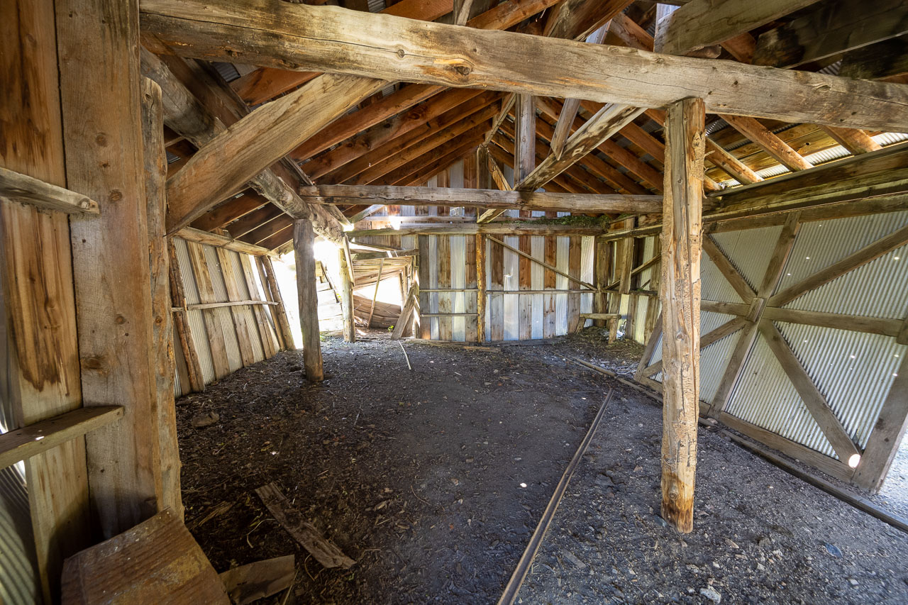
Inside of the structure.
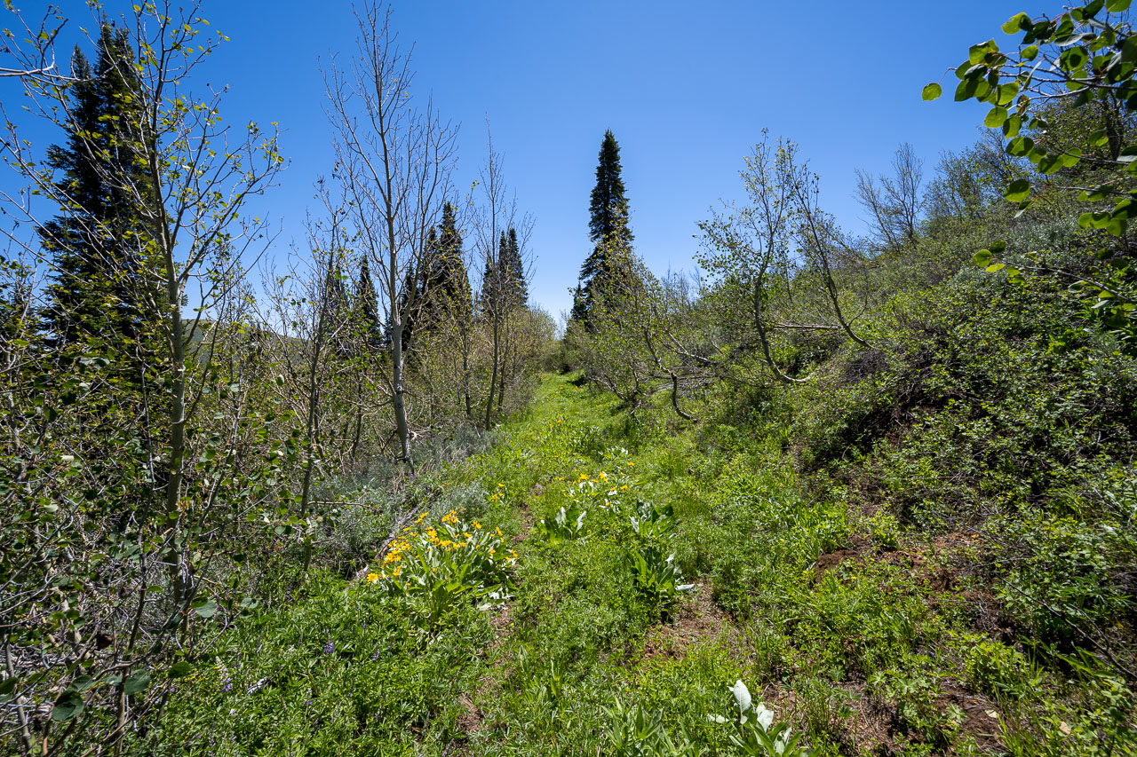
Following an old road past several mining prospects.
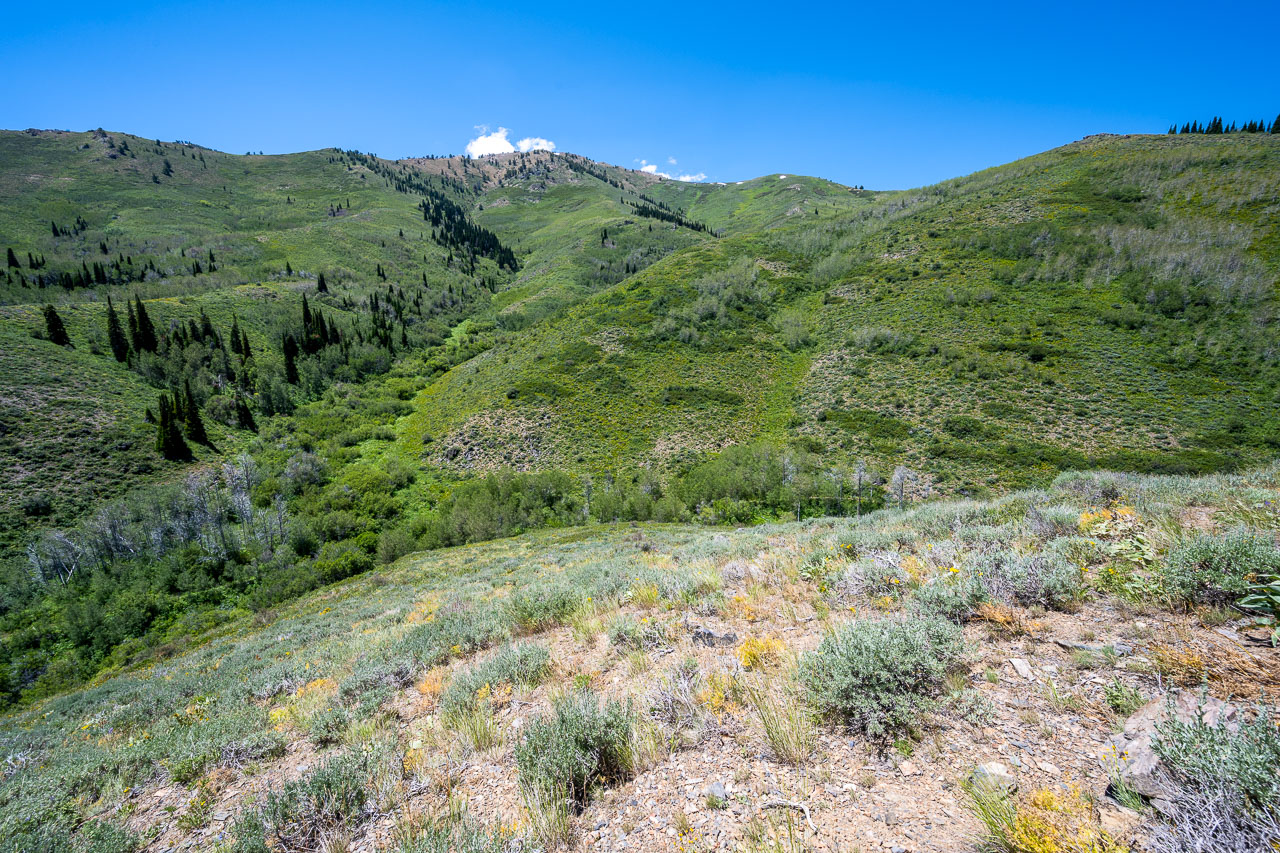
Descending the ridge to Blue Jacket Creek. Peak 8350 visible on the far side of the creek.
Old road paralleling Blue Jacket Creek.
Blue Jacket Creek. I stopped for a quick swim in one of the deeper pools. There was a significant amount of beaver activity in the canyon.
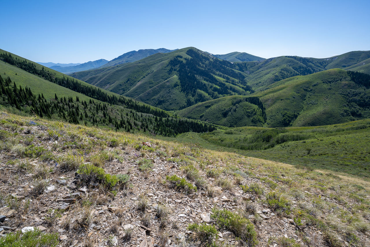
View down Blue Jacket Creek with McAfee Mountains in the distance.
Slope I descended from the Blue Jacket Mine.
Peak 8350
Pennsylvania Hill from the summit of Peak 8350.
Peak 8350 from below.
View back to Peak 8350 (left) and Porter Peak (right) on the way to Pennsylvania Hill.
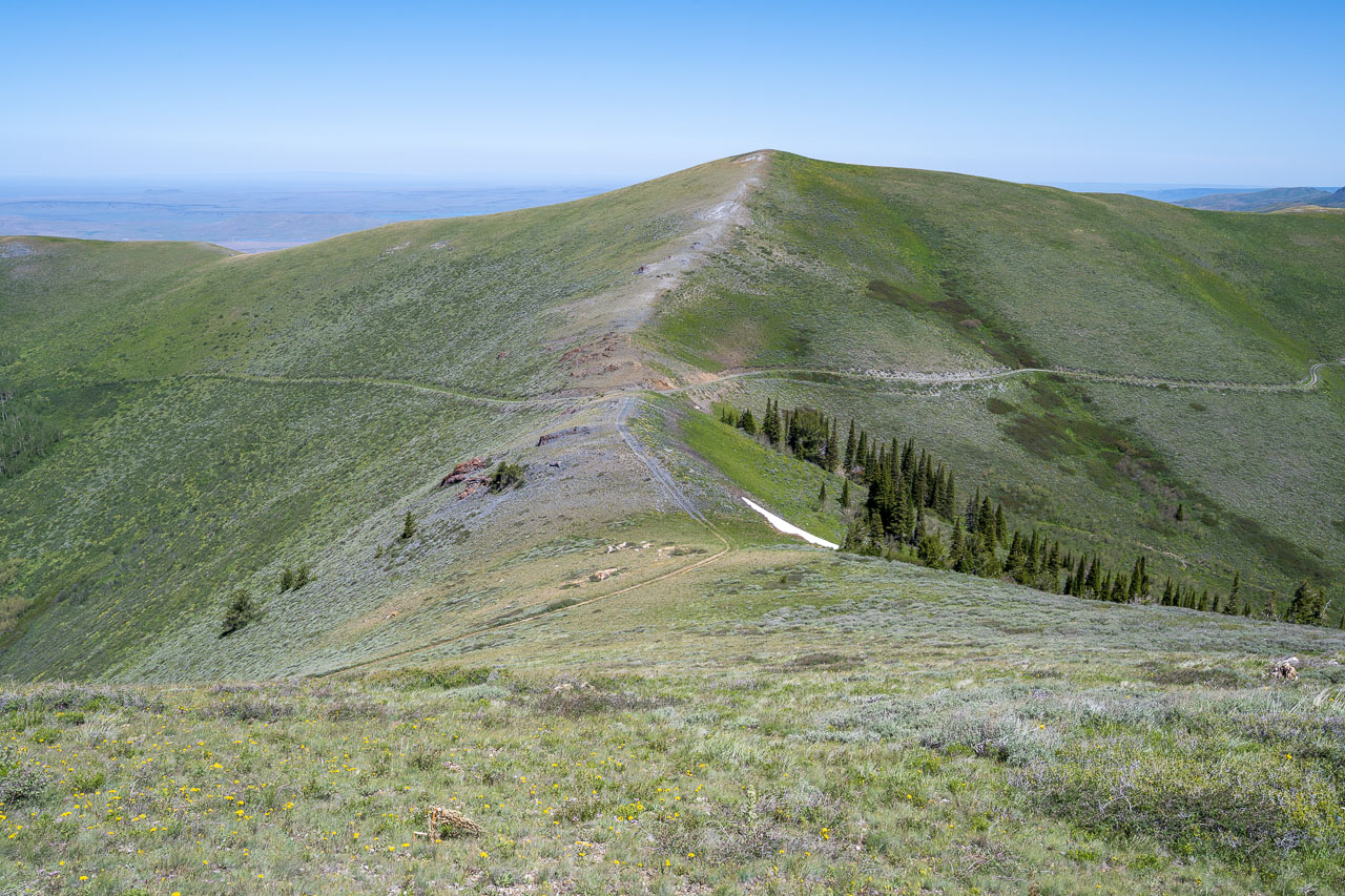
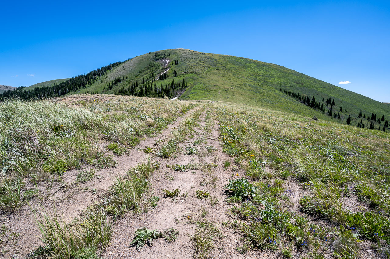
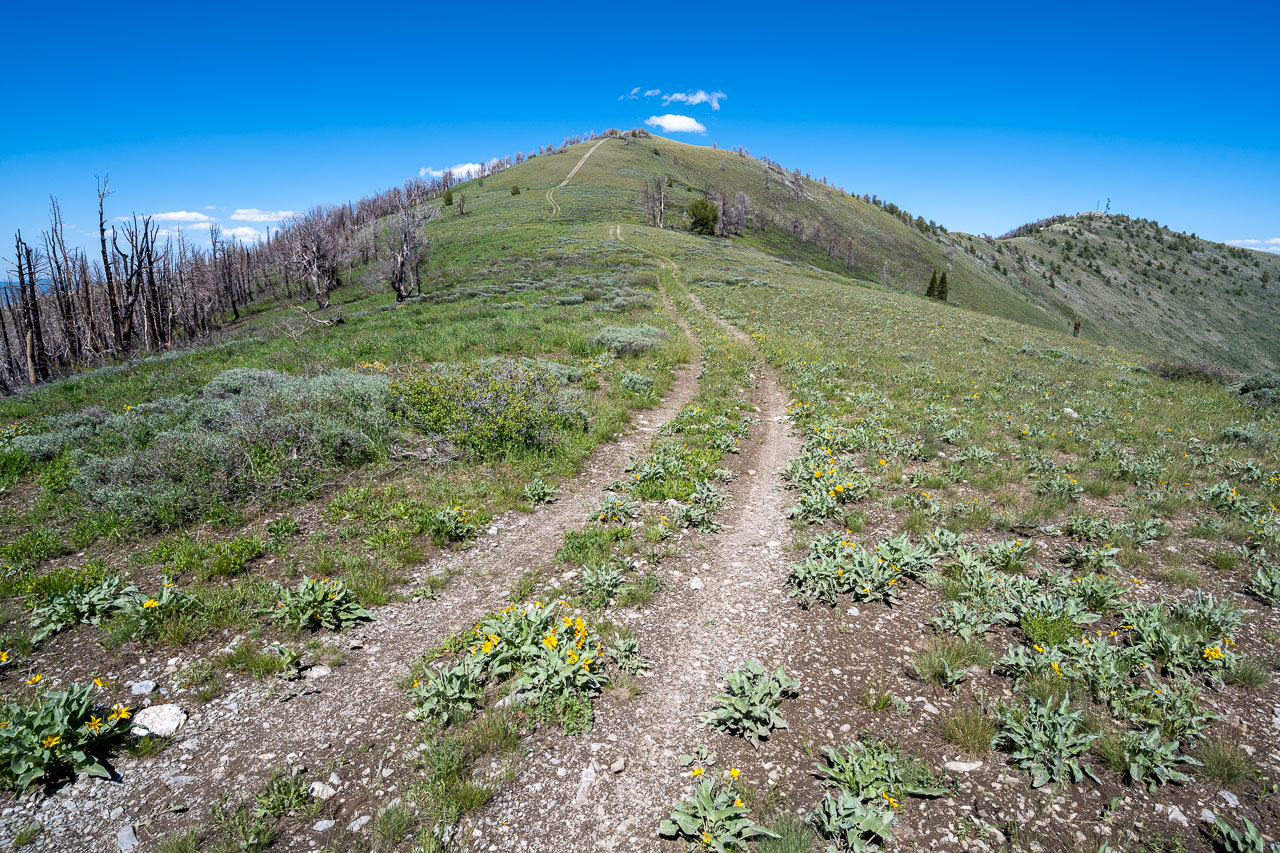
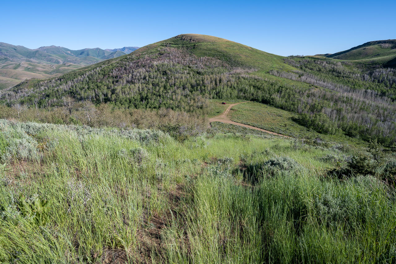
Old road track leading to Pennsylvania Hill.
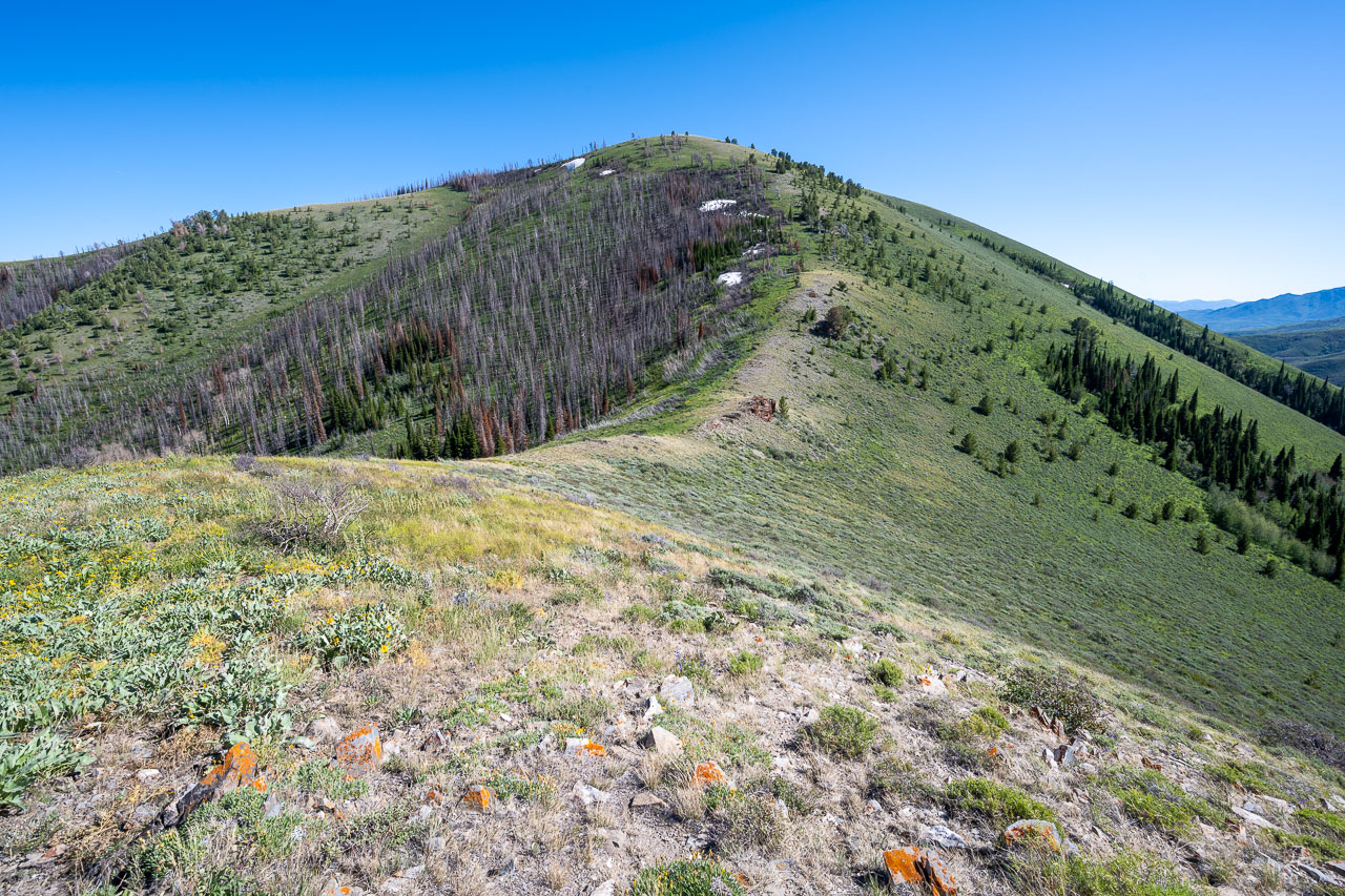
View back along the ridge. Porter Peak visible in the distance.
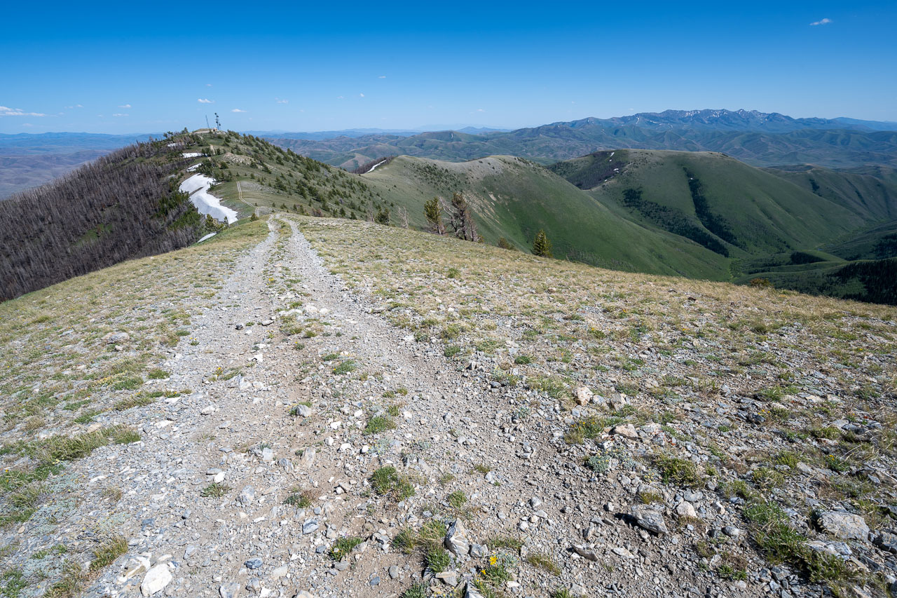
Final stretch of road leading to the summit of Pennsylvania Hill.
View east from the summit. A summit register had been left by John Vitz only a few weeks earlier. Surprisingly another group had visited the summit earlier the same day.
View back to Pennsylvania Hill.
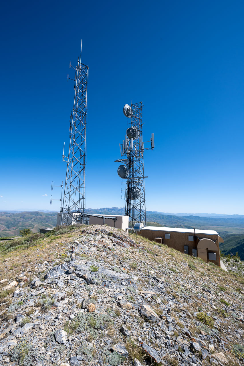
Summit towers on lower sub summit of Pennsylvania Hill.
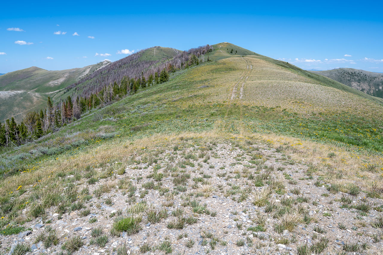
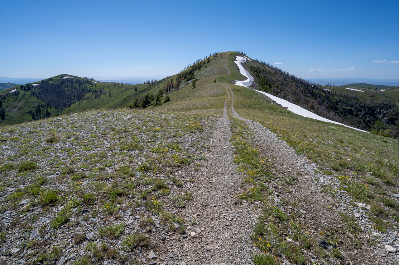
Descending the ridge to Peak 8409, the final peak of the day.
Peak 8350 across the Columbia Creek drainage.
Peak 8409
View back to Pennsylvania Hill from near the summit of Peak 8409.