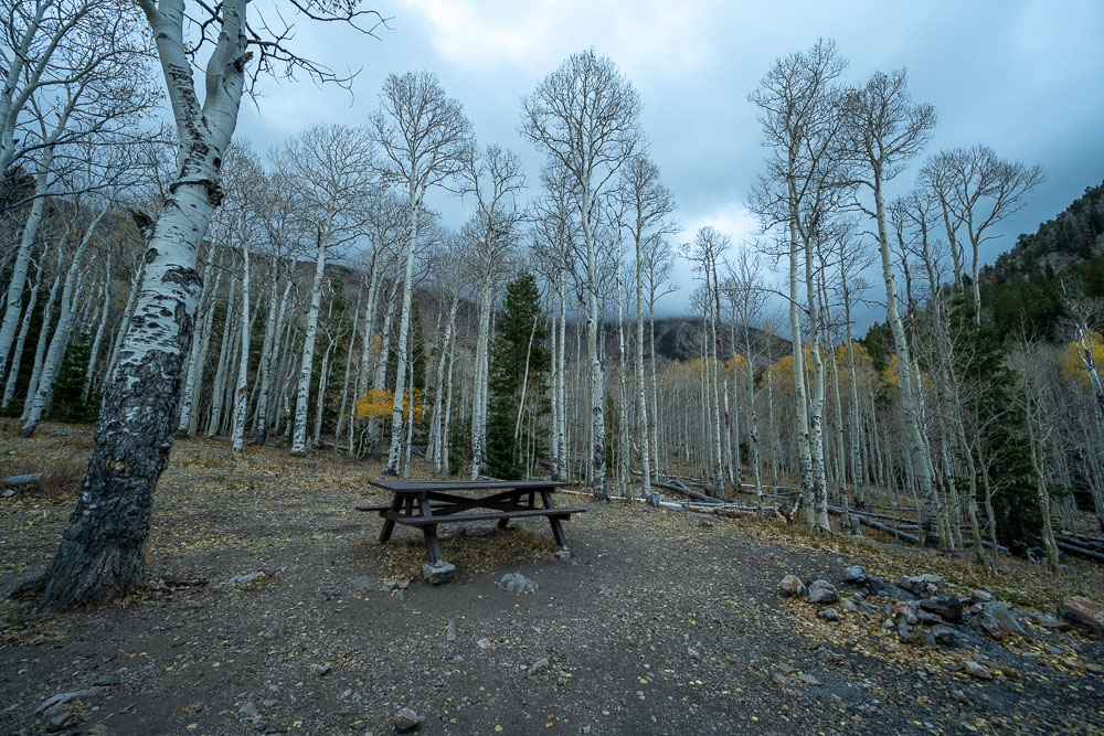
I car camped at the trailhead and woke up to overcast skies.
North Schell Peak still in the clouds. There wasn’t much wind at the trailhead, but I could tell it was very windy up higher.
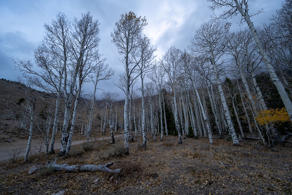
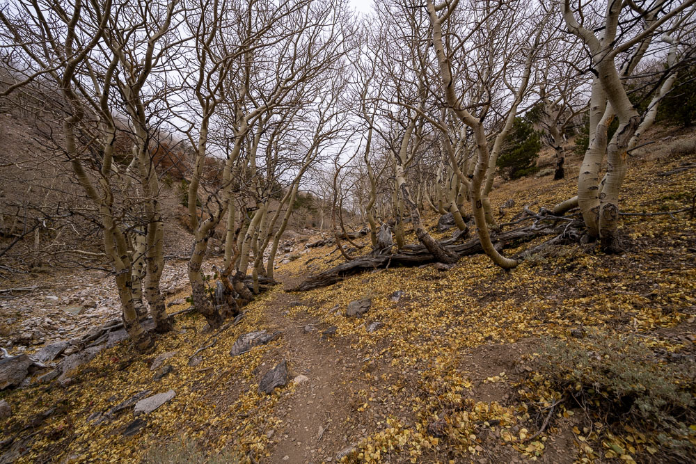
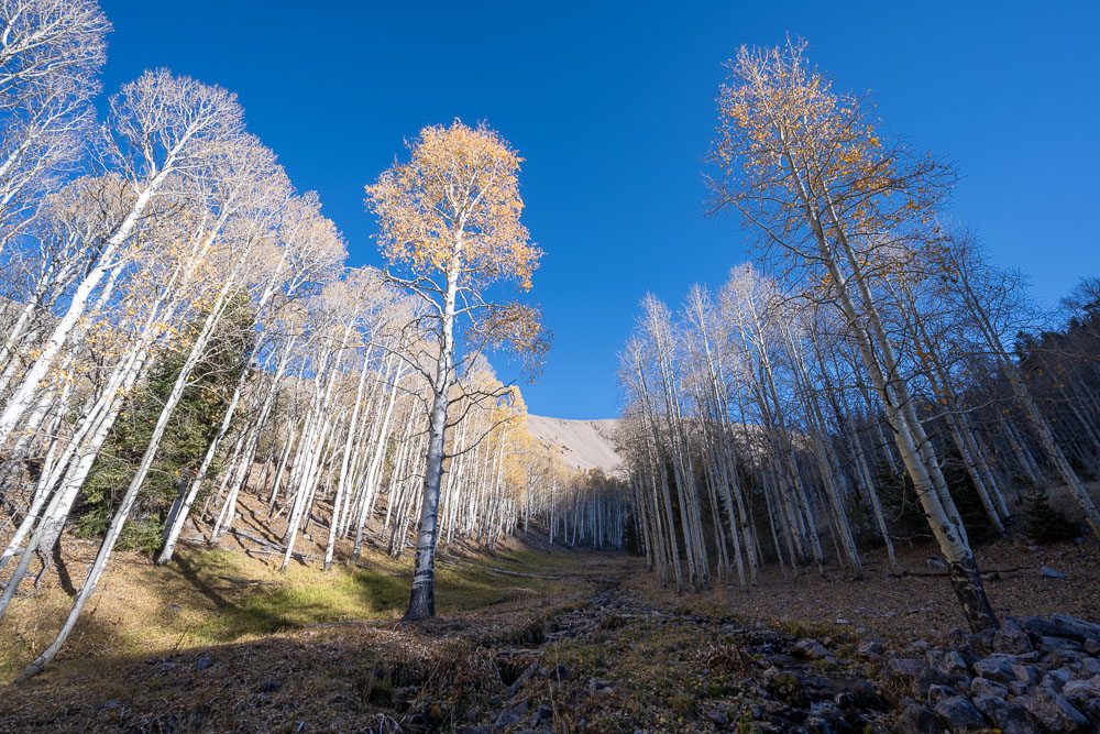
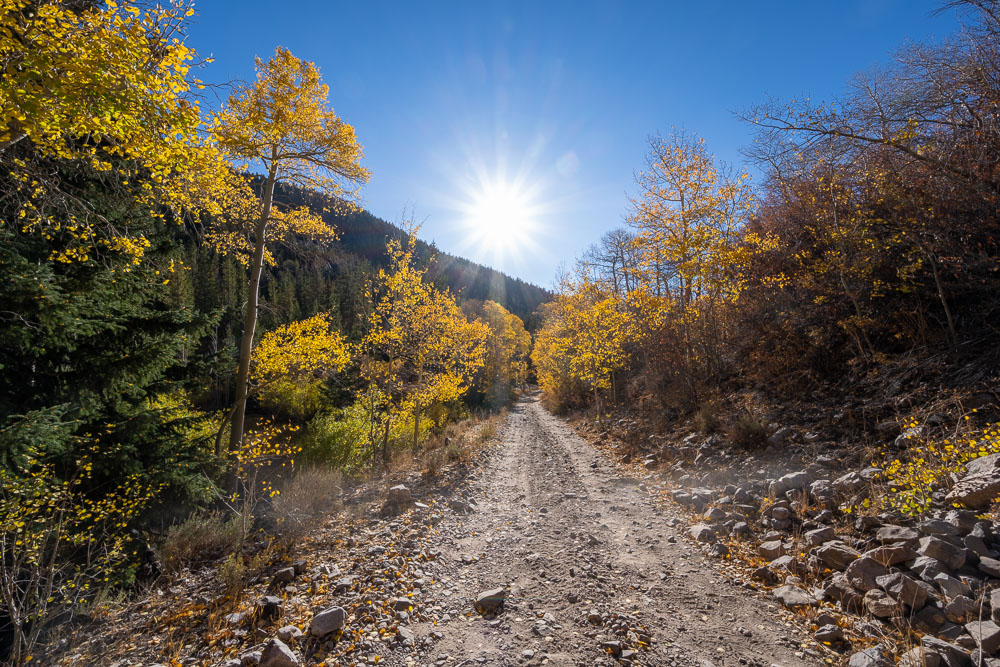
Starting up the trail.
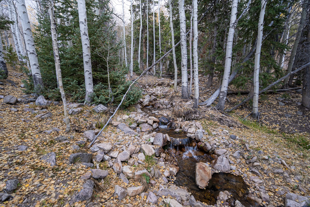
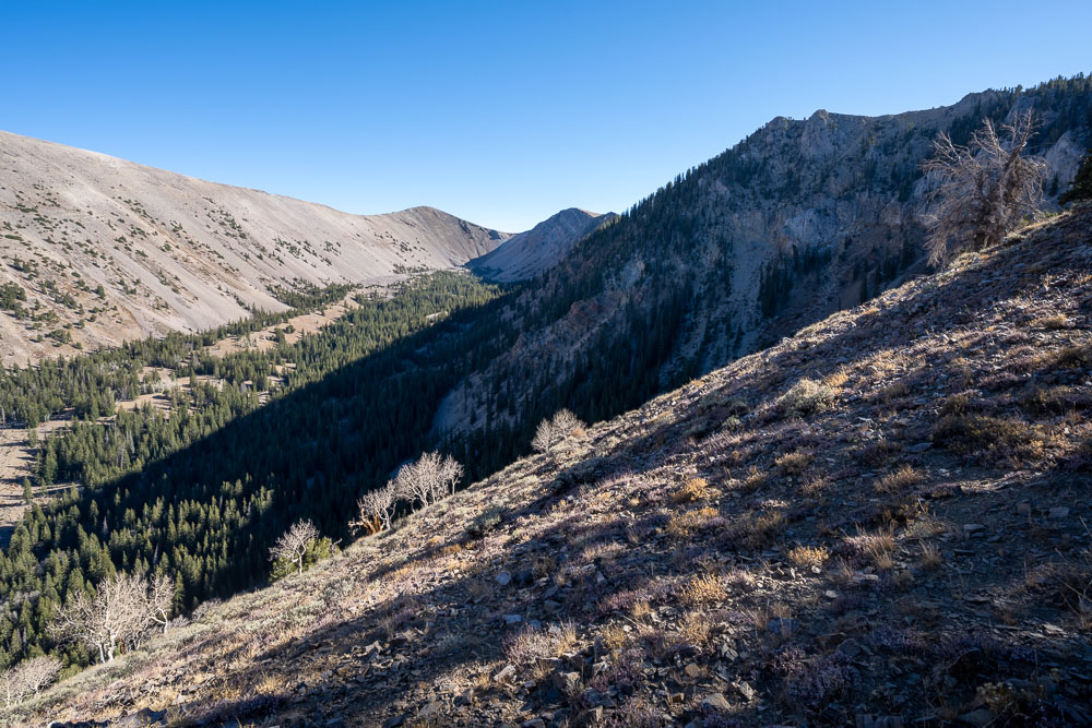
Timber Creek next to the trail.
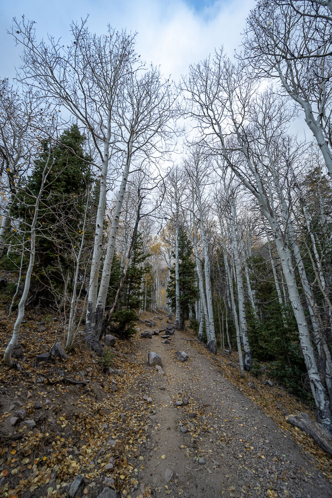
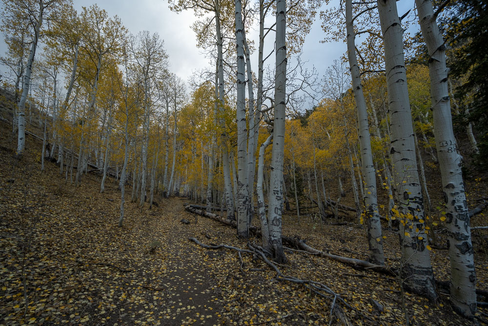
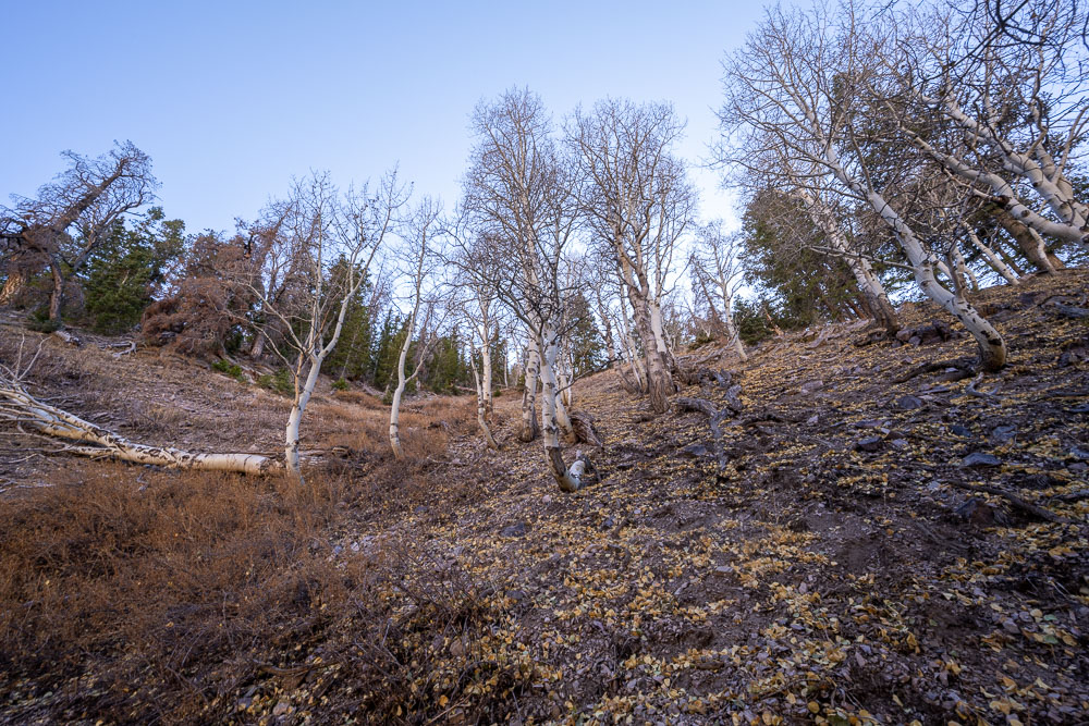
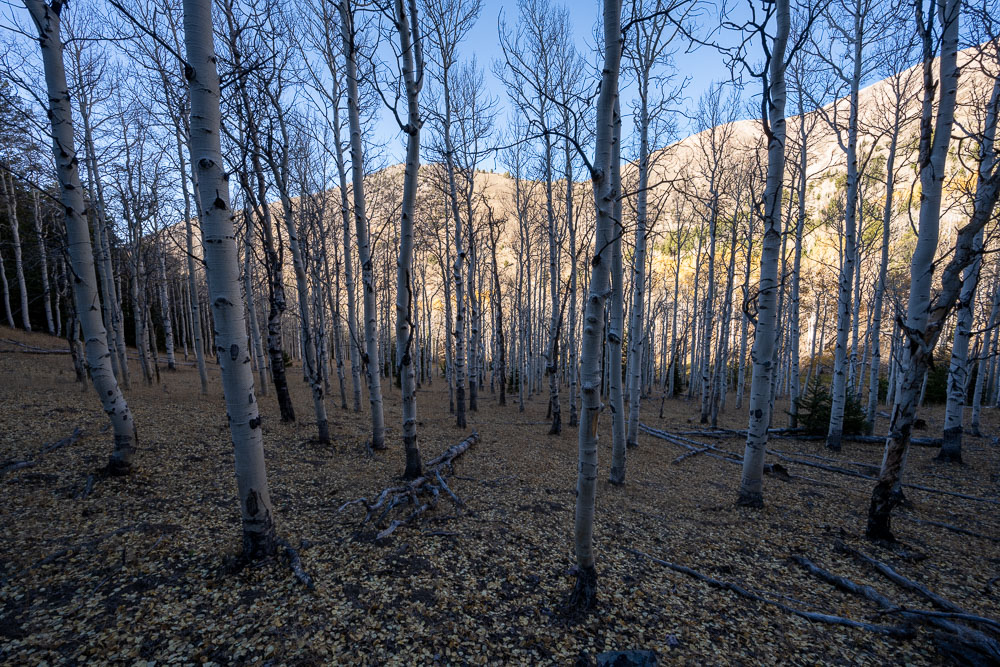
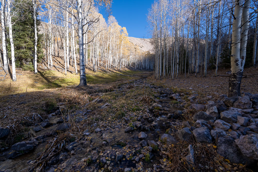
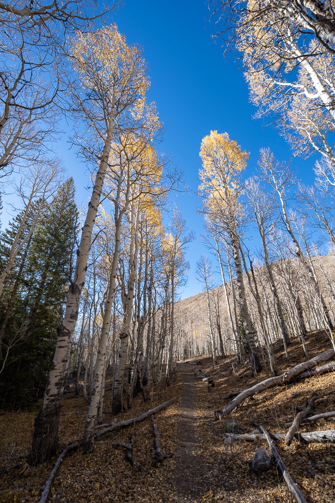
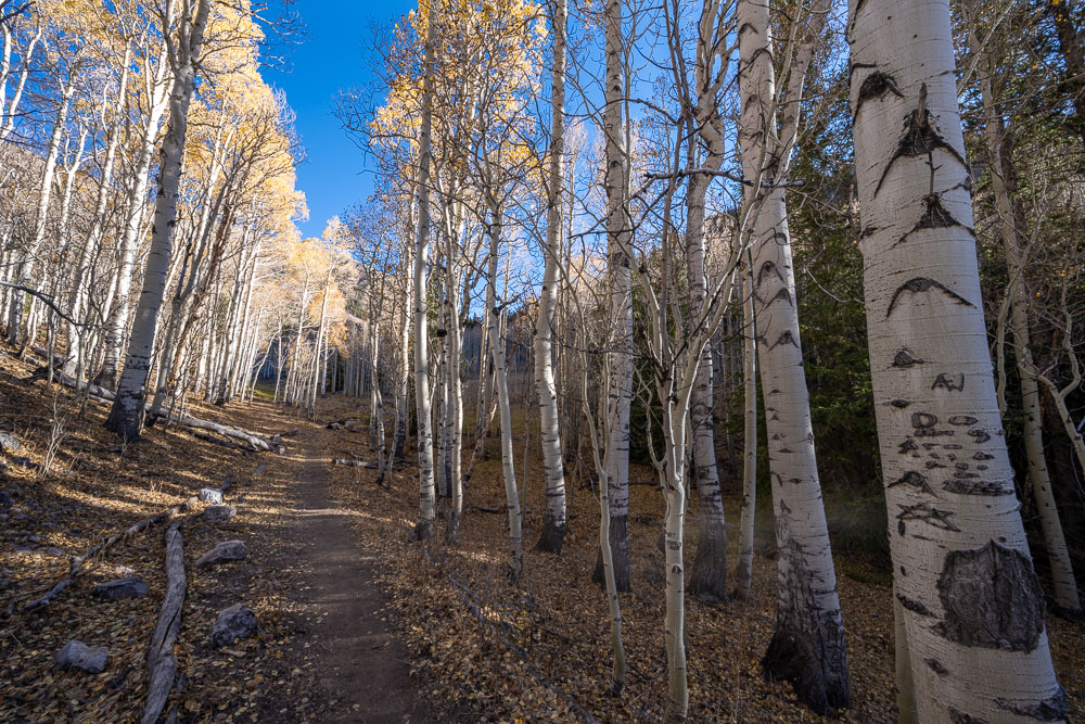
Aspens along the trail.
Nearing the cloud deck. Up until this point I was in a wind sheltered area, but as I started up the ridge toward North Schell I got hit with the full force of the wind.
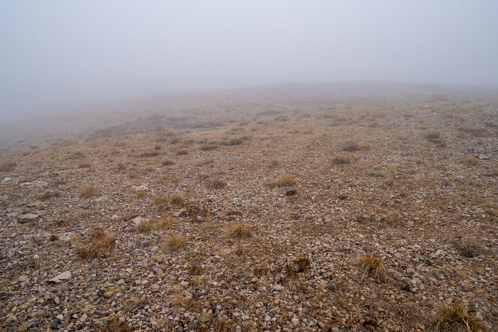
Entering the clouds.
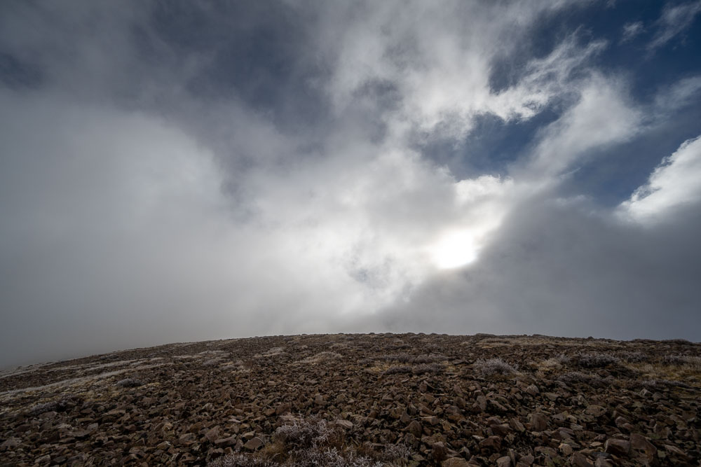
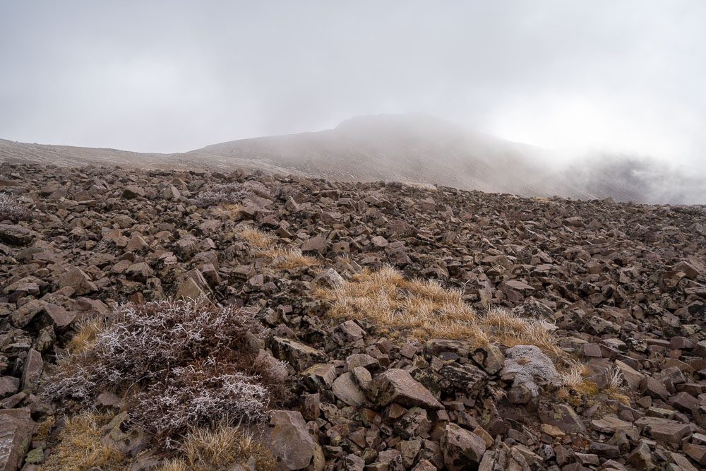
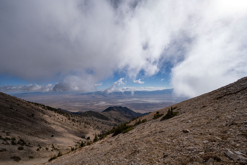
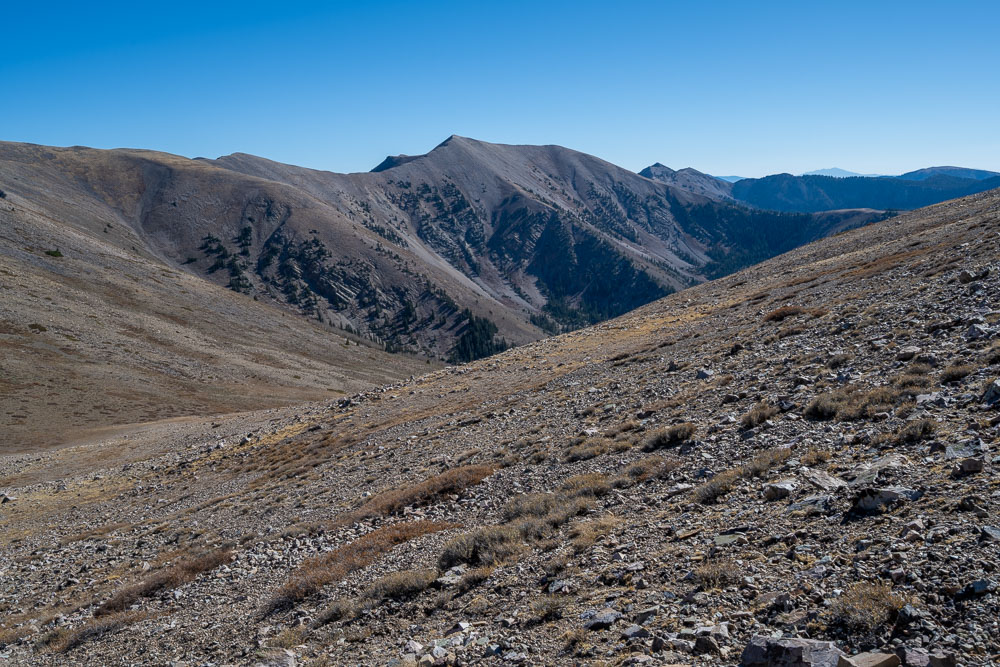
Brief clearing on the way up.
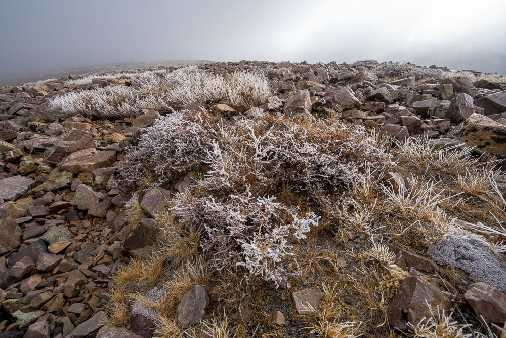
Rime ice forming on the plants.
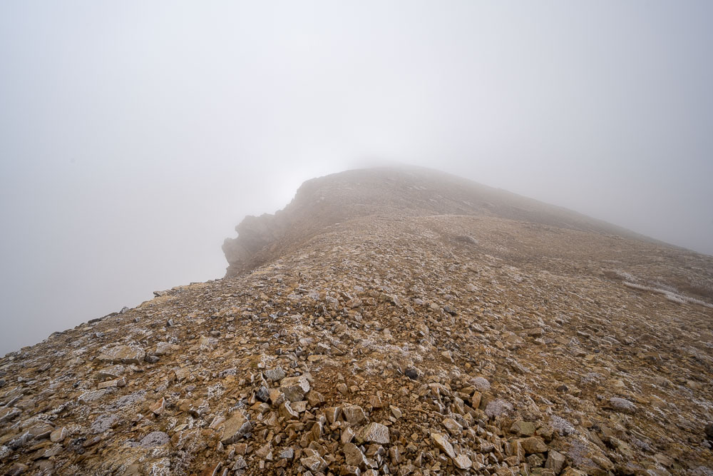
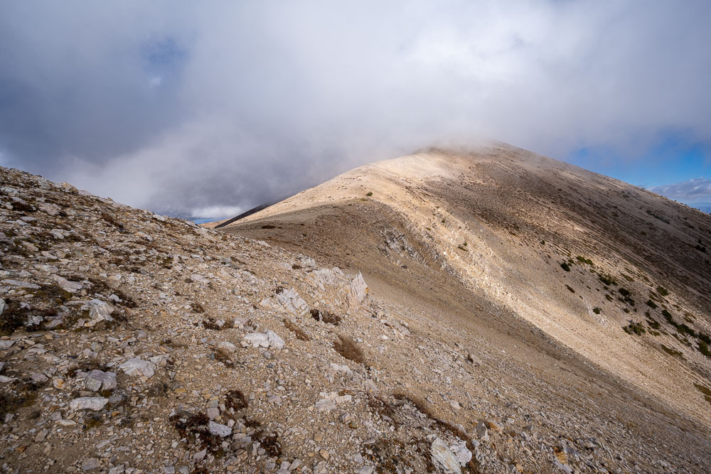
North Schell briefly visible through the clouds.
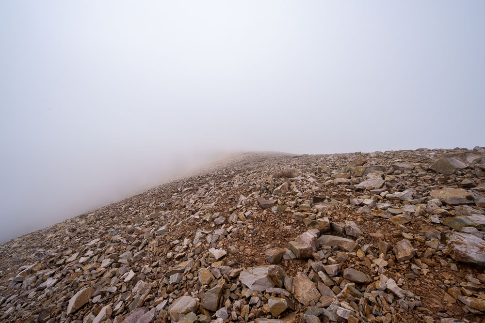
Approaching the summit of North Schell Peak.
No views at the summit and still very windy and cold. Most of the day would be spent hiking on a wind exposed ridgeline, so I was trying to decide whether it was worth continuing. I decided to keep going in the hope that conditions would improve. Thankfully the wind died down over the next hour.
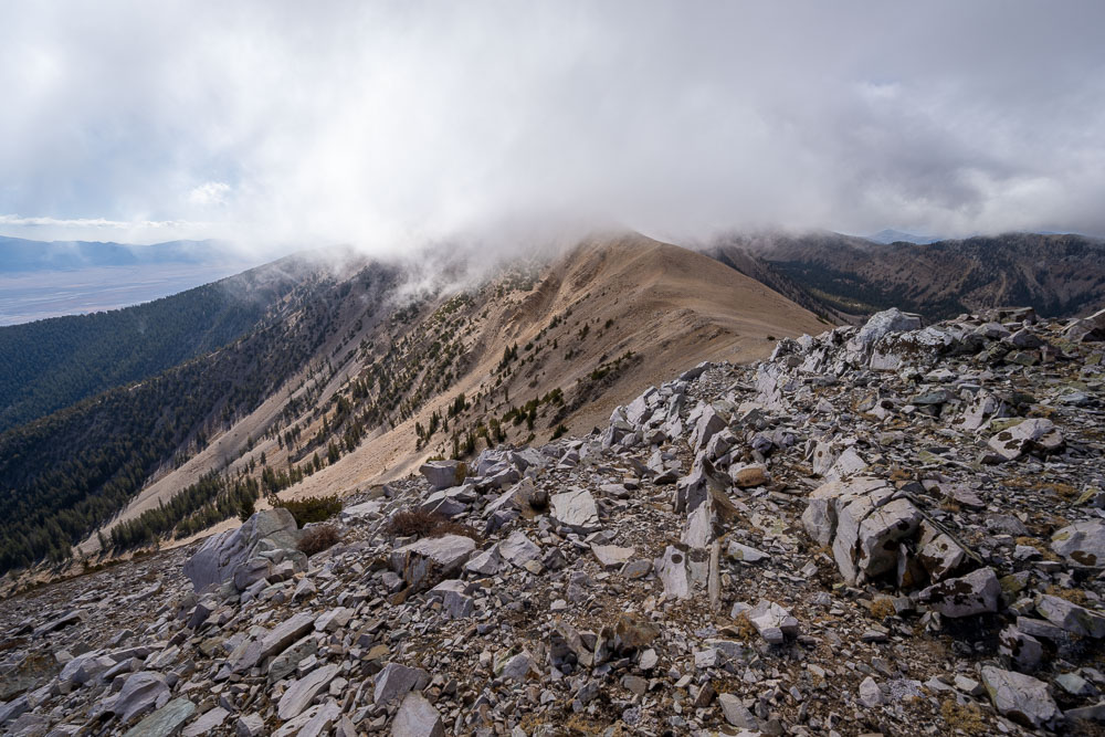
Clouds starting to break up on the east side of the ridge.
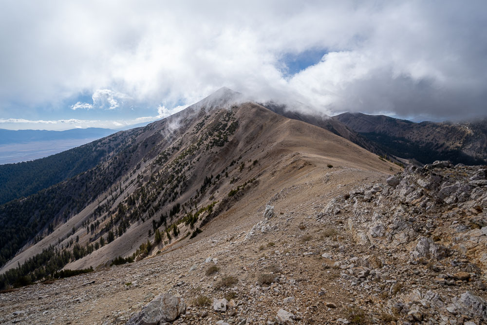
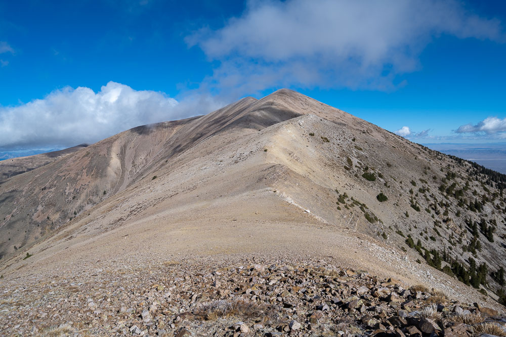
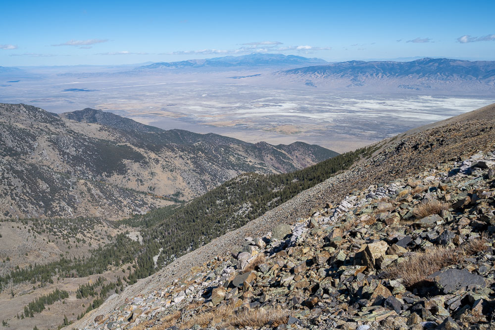
View back to North Schell.
Middle Schell still in the clouds.
I stuck a little below the ridgeline to avoid the worst of the wind. By the time I reached Middle Schell the clouds had mostly dissipated.
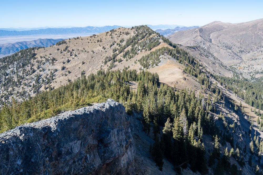
View back to North Schell.
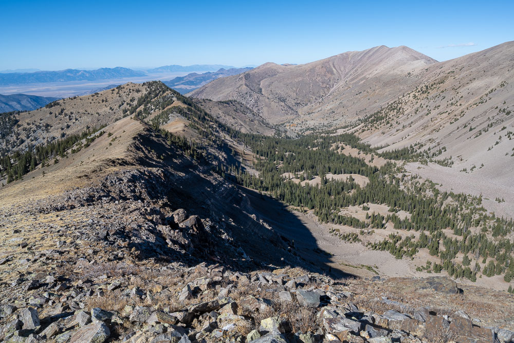
Ptarmigan Peak across the valley, the final peak in the loop.
Mount Moriah to the southeast. I was planning to do a loop hike the following day that included Mount Moriah and a few other peaks.
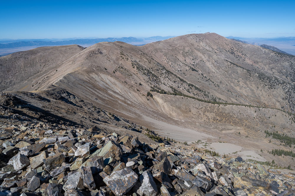
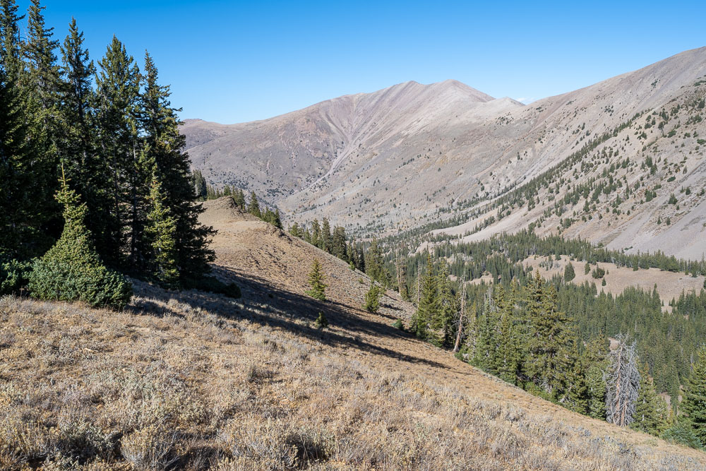
Continuing south along the ridge toward Unita Peak.
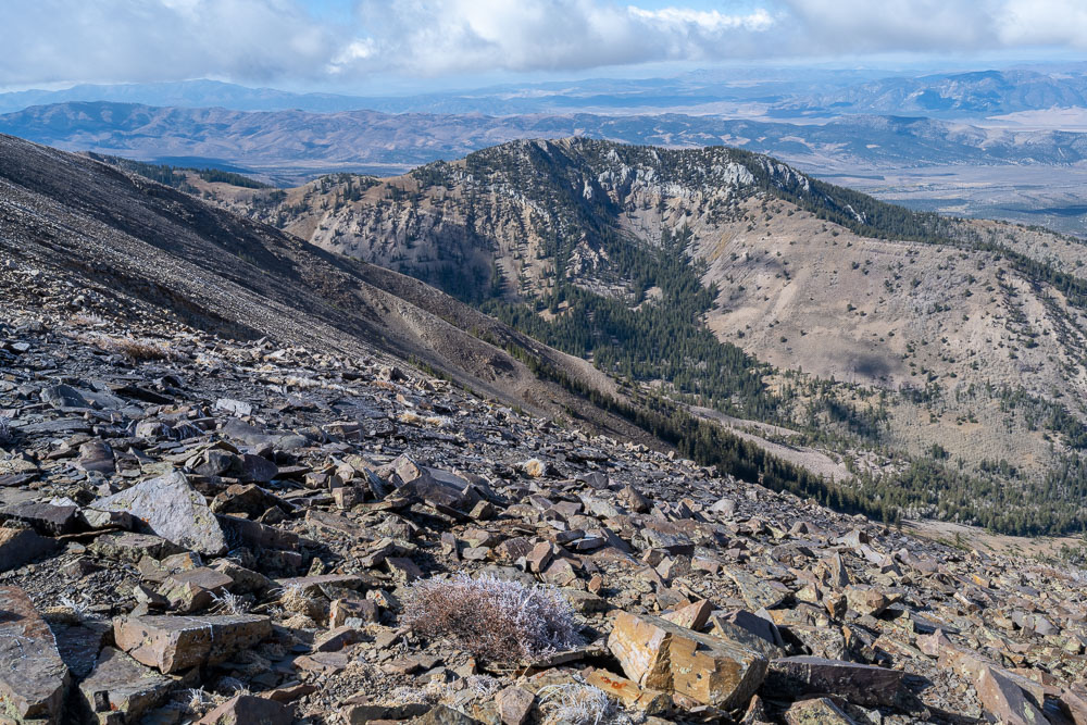
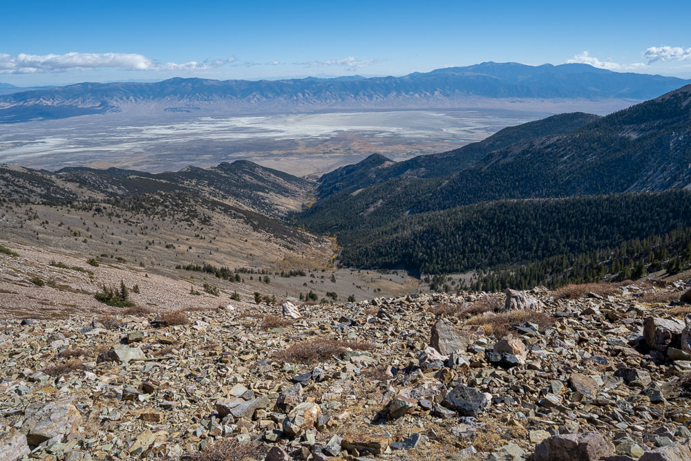
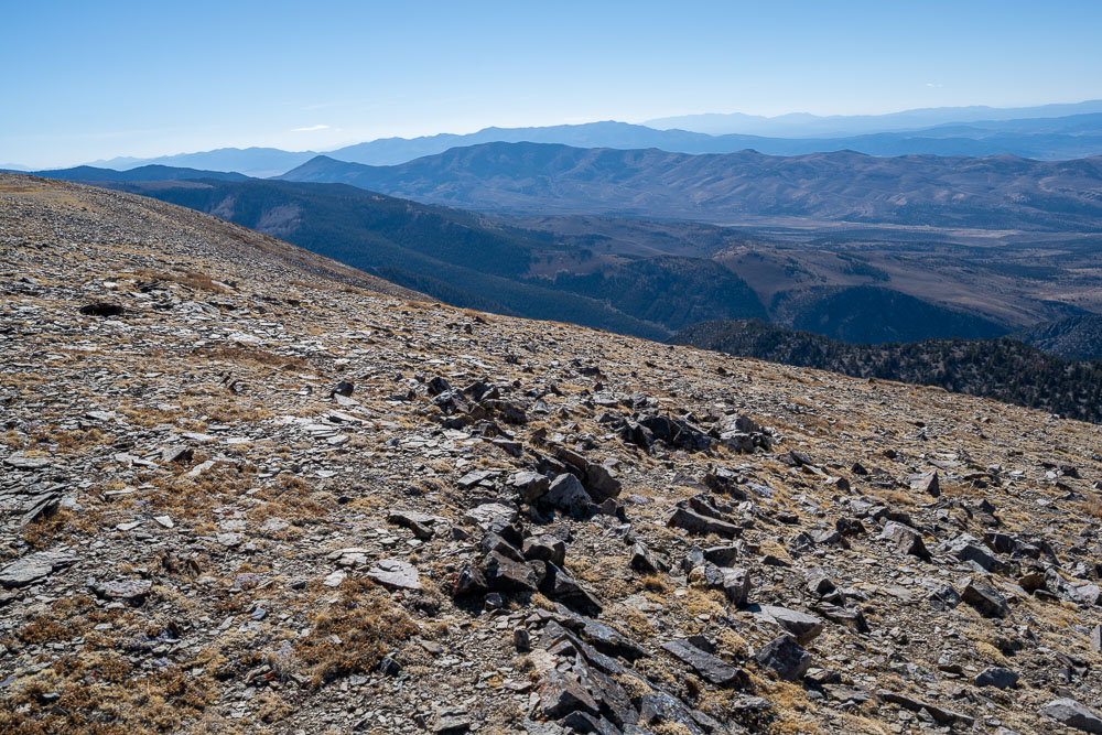
McCoy Creek drainage.
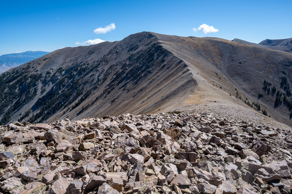
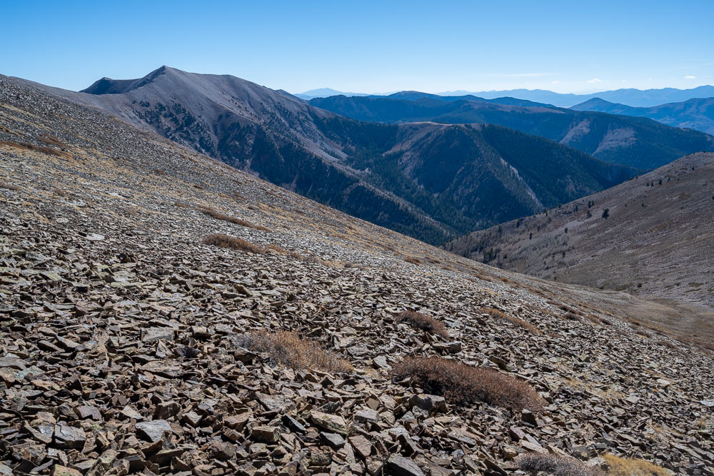
Approaching Taft Peak.
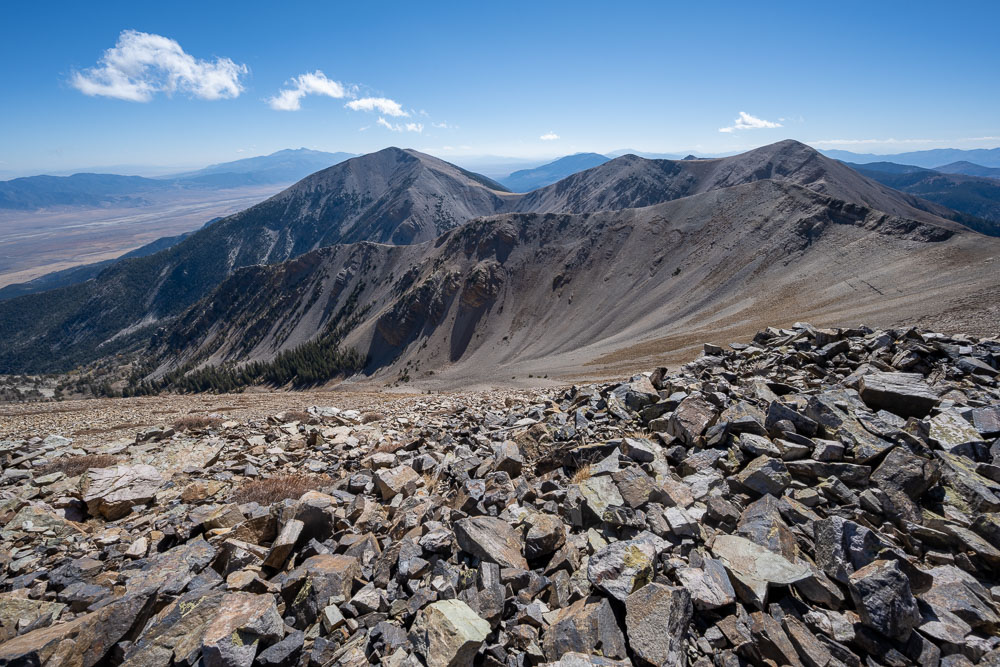
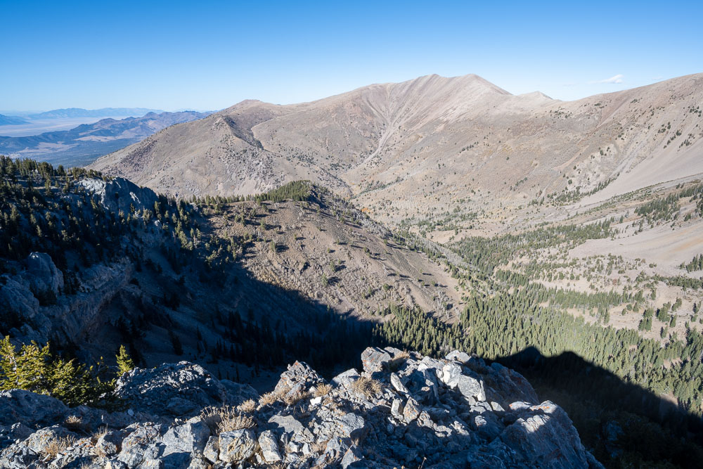
Peak 11768 (left) and South Schell Peak (right) from the summit of Taft Peak. Both of these are Nevada 11er’s, a list that I am slowly working on.
Mount Moriah to the east.
Ibapah Peak to the northeast.
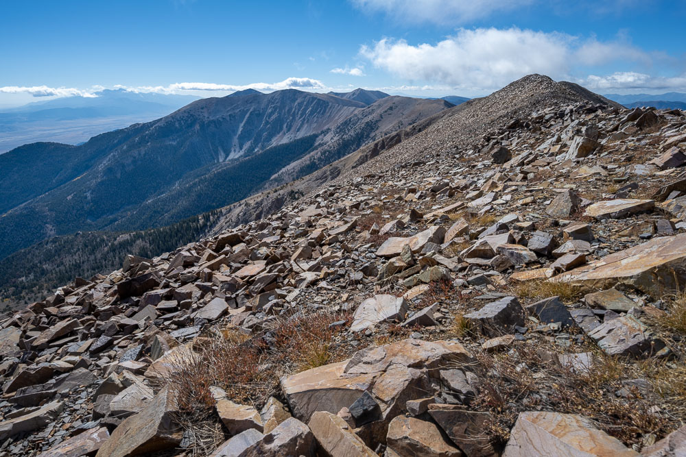
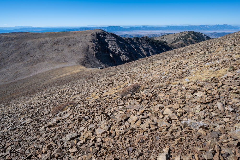
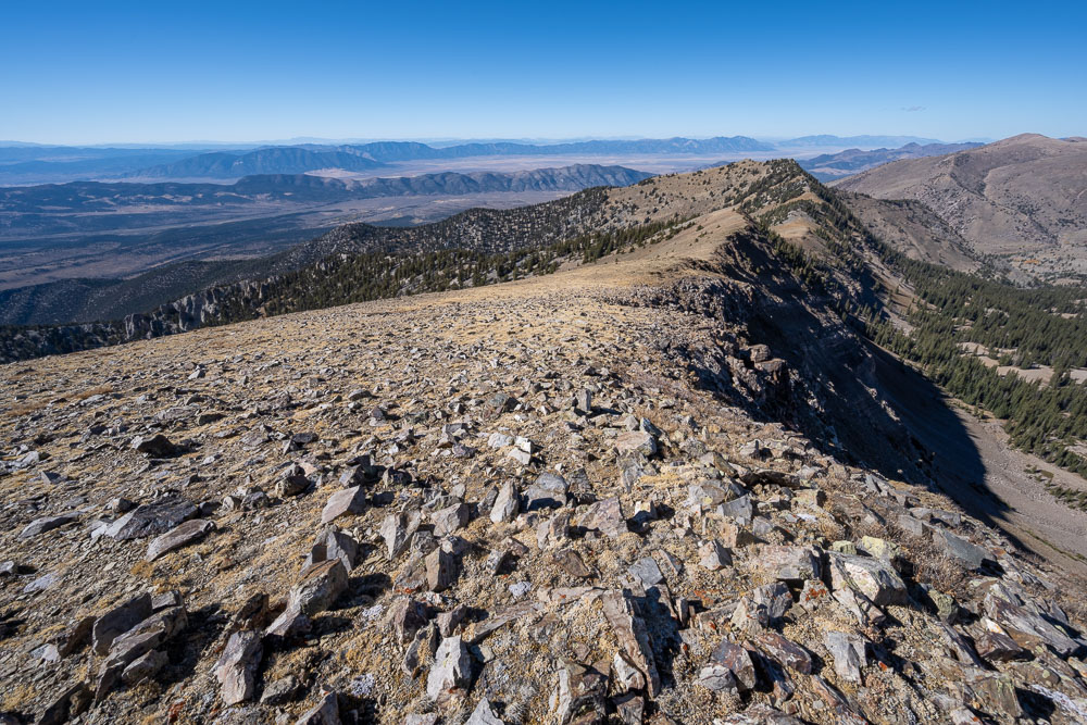
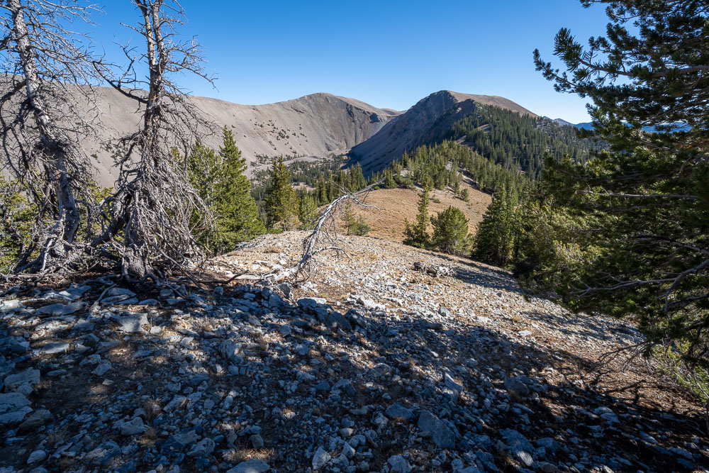
View back along the ridge to Unita Peak and Middle Schell.
Returning along the ridge to complete the loop.
West ridge of South Schell Peak.
South Schell Peak.
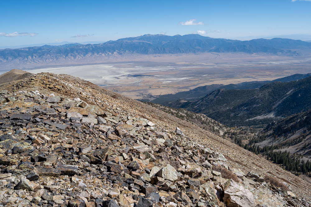
Ptarmigan Peak (left) and North Schell Peak (right). It was now warm and sunny with hardly any wind, a big difference from what it had been a few hours earlier.