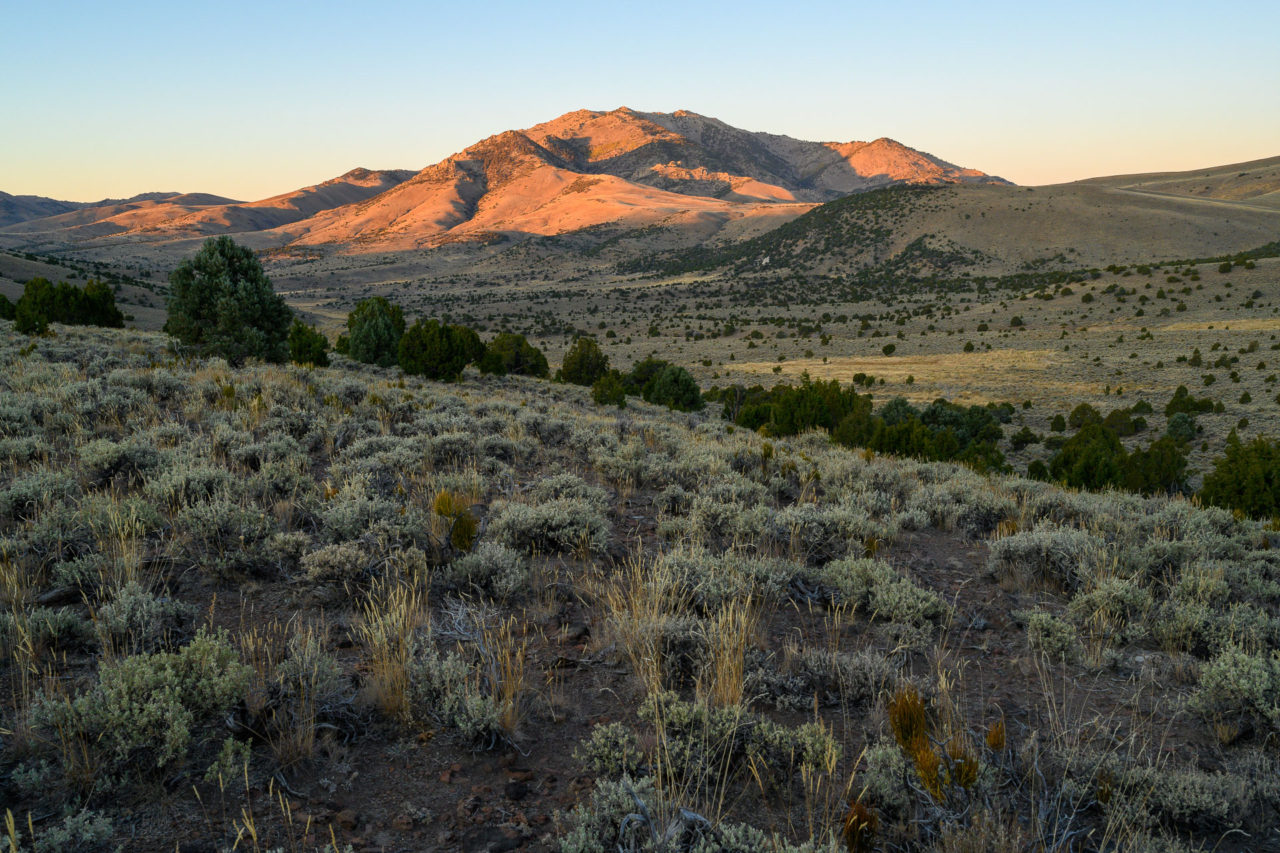
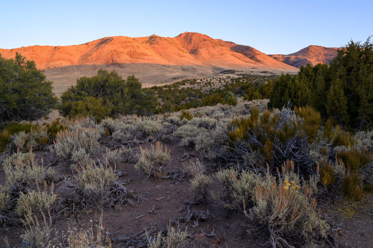
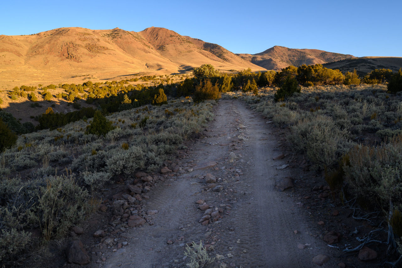
Mount Jefferson is the fifth tallest and third most prominent peak in Nevada, and is also the highpoint of the Alta Toquima Wilderness. I had seen Mount Jefferson from across the valley on my trips to Arc Dome and Toiyabe Dome over the previous two years, and was interested in exploring the area further. I drove in the night before from the east on FS-10, passing several groups camped in the lower part of Meadow Canyon. The road was in decent shape, having been recently cleared and widened in the lower part of the canyon. Further up the canyon the wheel ruts became deeper, but did not require 4WD.
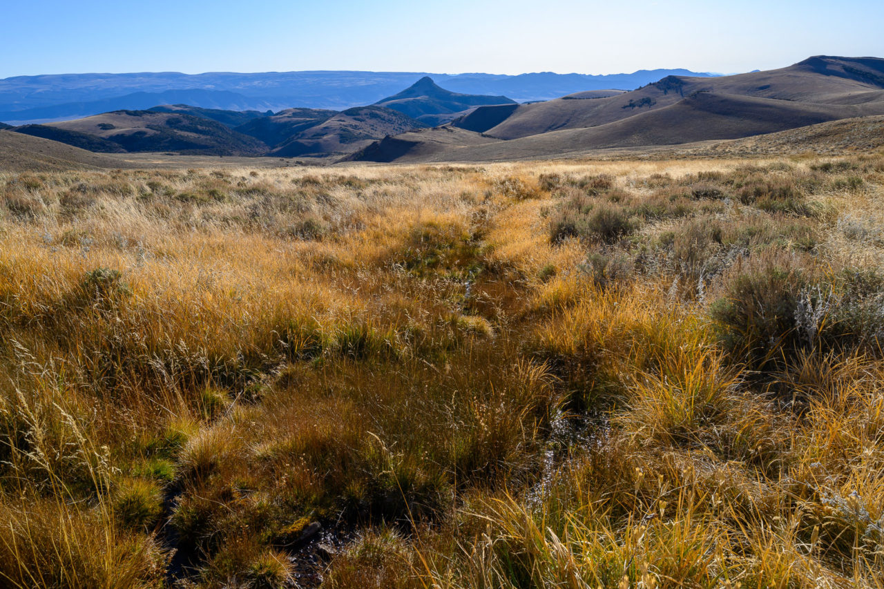
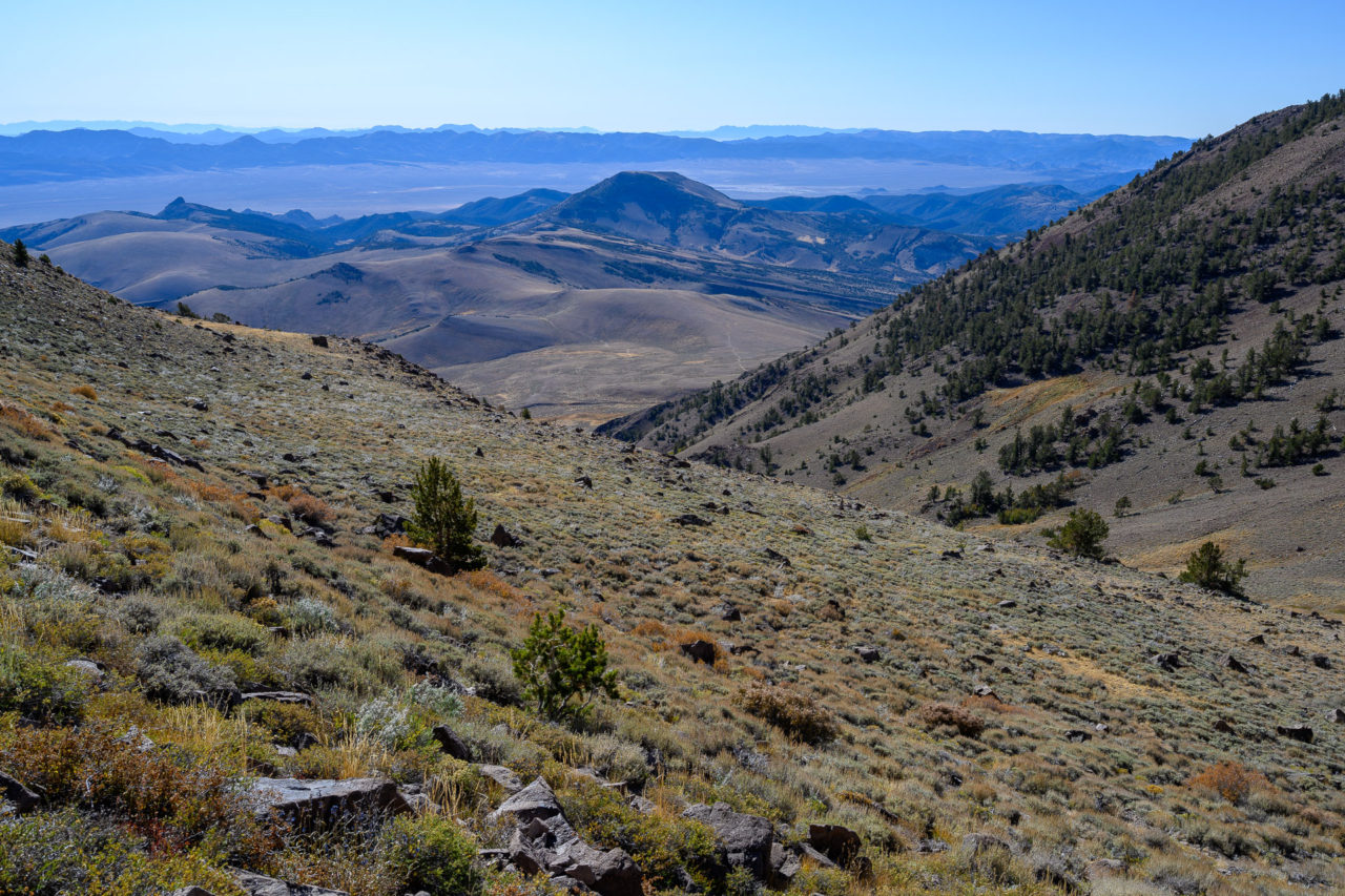
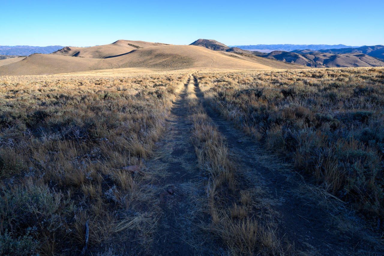
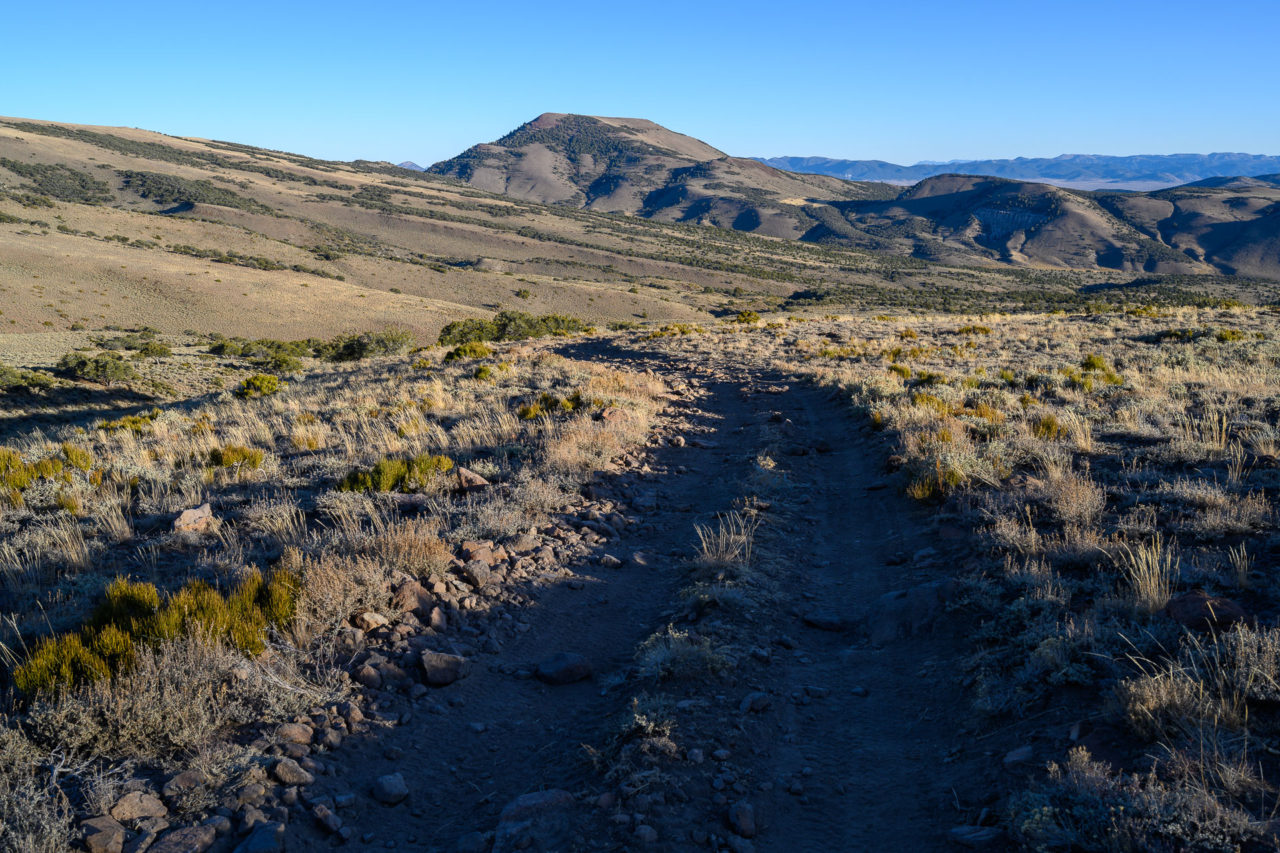
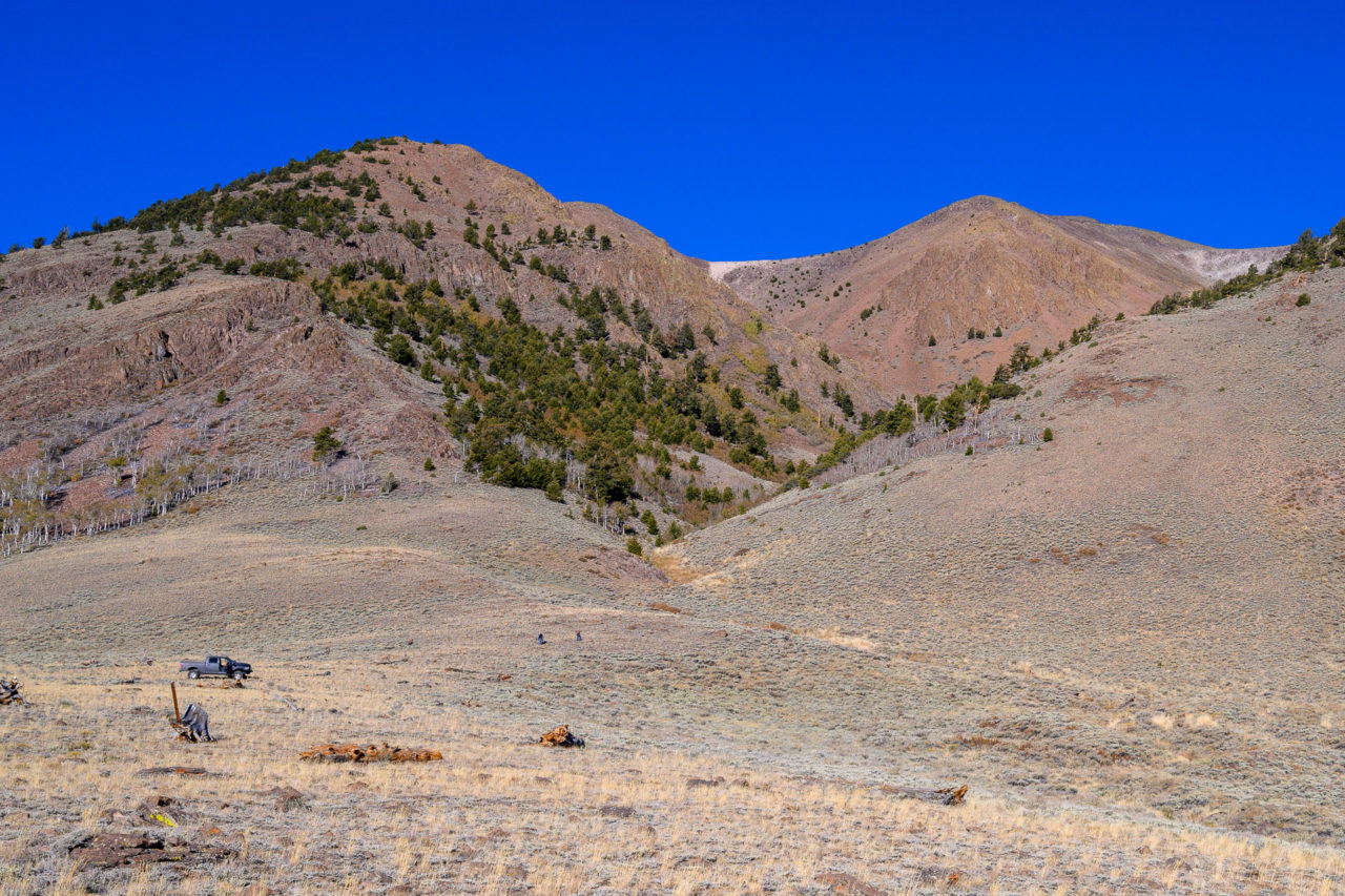
The most commonly used route continues to the Jefferson Summit TH, which lies on the south ridge of Mount Jefferson. This makes for a short round trip to the taller south summit, but was not convenient for visiting the middle and north summits of Mount Jefferson that lie deeper in the wilderness. Instead, I chose to start from Windy Pass near Andrews Creek. The initial portion of FS208 leading to Windy Pass was in decent shape, accessible by high clearance vehicles, but beyond that where the road branches to FS208B the road became extremely rocky. Slow and tedious driving eventually got me to Windy Pass where I spent the night.
The next morning, just as I was getting ready to leave, a group of hunters drove up the road and parked near my car. Apparently they had seen a small herd of deer nestled in the grass on the hill behind me. I hadn’t even noticed them. They drove a bit further up the hill, then set out on foot. As I was making my way over to Andrews Creek I heard them take three shots, but as far as I could tell they missed. The deer would move up the hill 50 feet after each shot then go back to grazing, not understanding the danger they were in. Eventually after the third shot they got too far up the mountain and the hunters gave up. There were several other vehicles perched on the surrounding hills near Windy Pass, apparently a popular area for hunters.
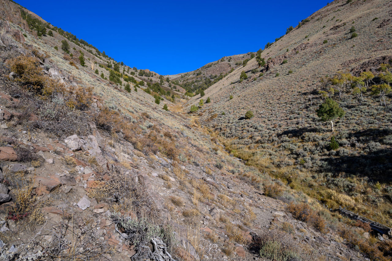
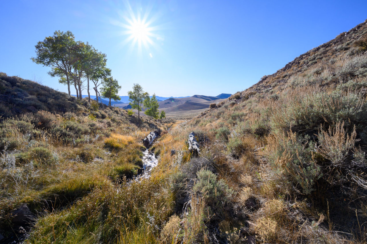
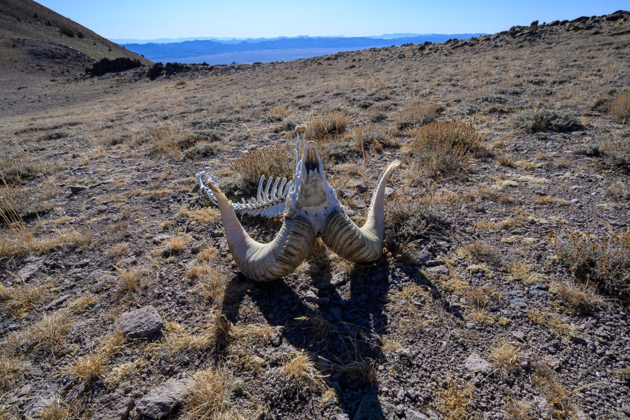
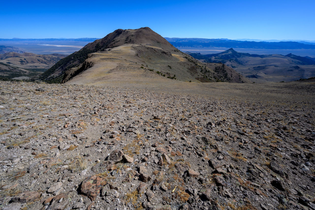
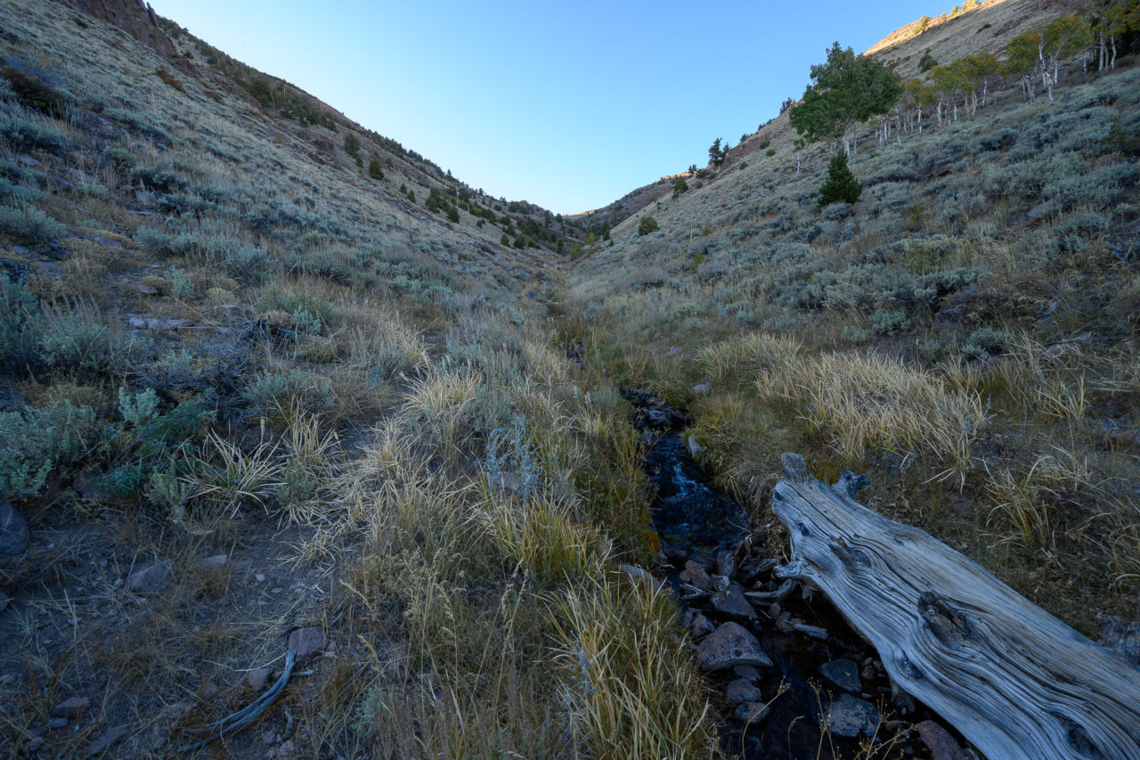
The forest service maps show a trail going up Andrews Creek, but what remains is more of a game trail. In places the trail disappeared entirely, but it was easy enough to make progress up the canyon. Near the top I made a detour to visit Peak 11,380, passing a nearly intact skeleton of a bighorn sheep along the way. Near the summit I was surprised to see a herd of roughly twenty bighorn sheep. As I got closer they took off down the slope, descending a few thousand feet of rough rocky terrain in a matter of minutes. I watched them from the summit until they disappeared below tree line, then made my way back towards the south summit of Mount Jefferson.
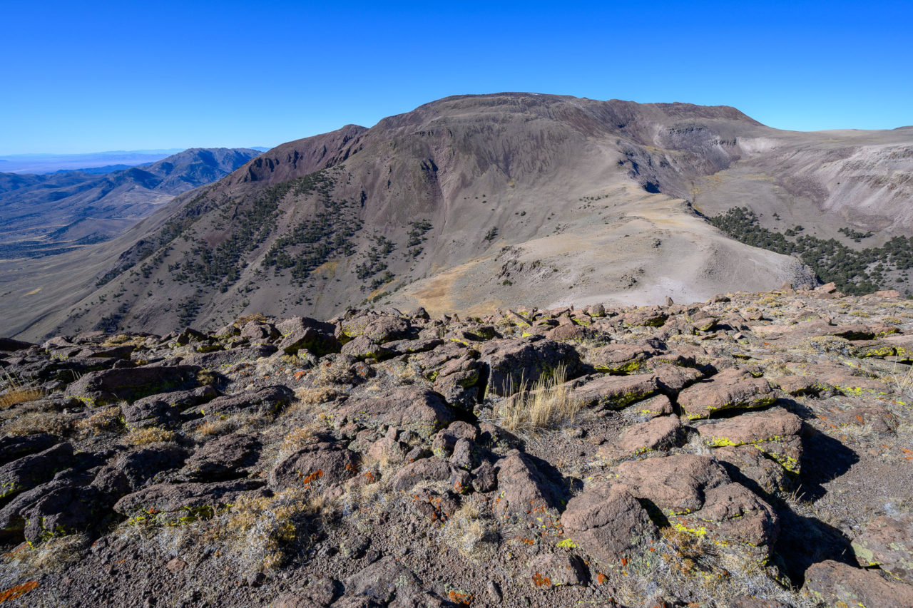
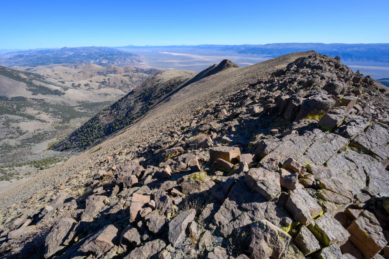
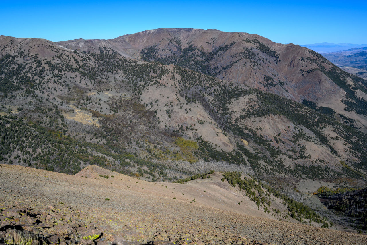
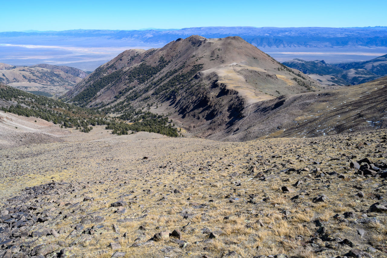
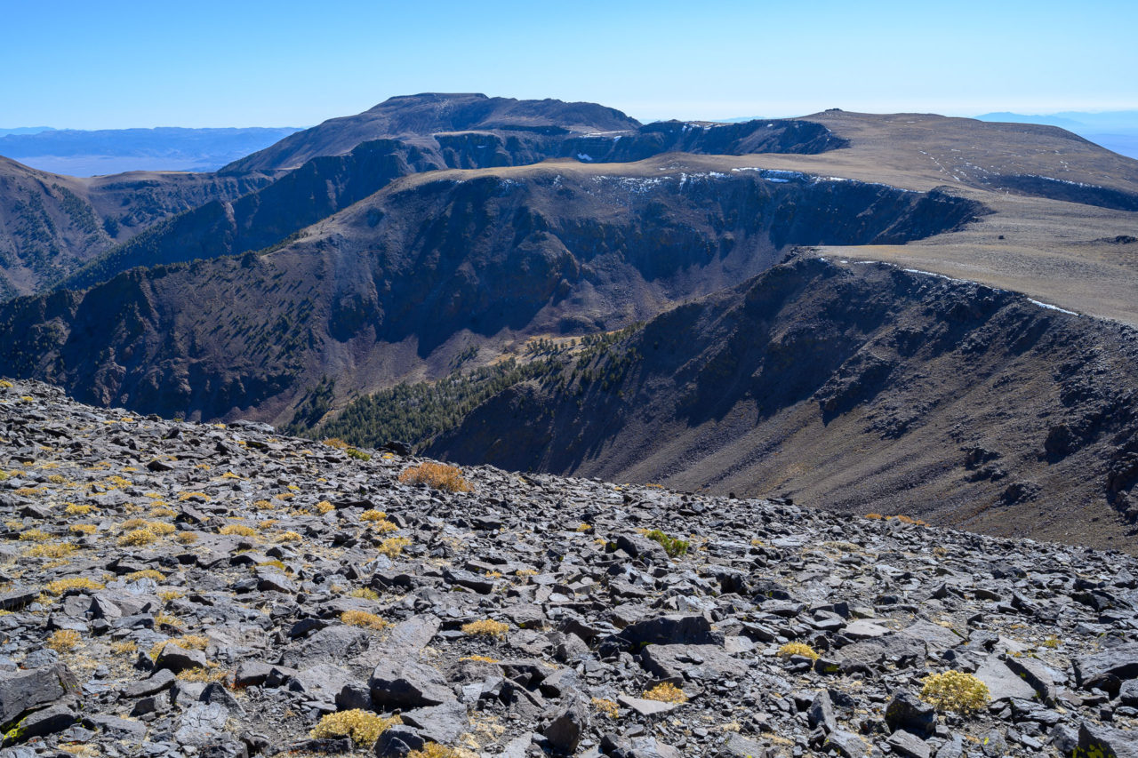
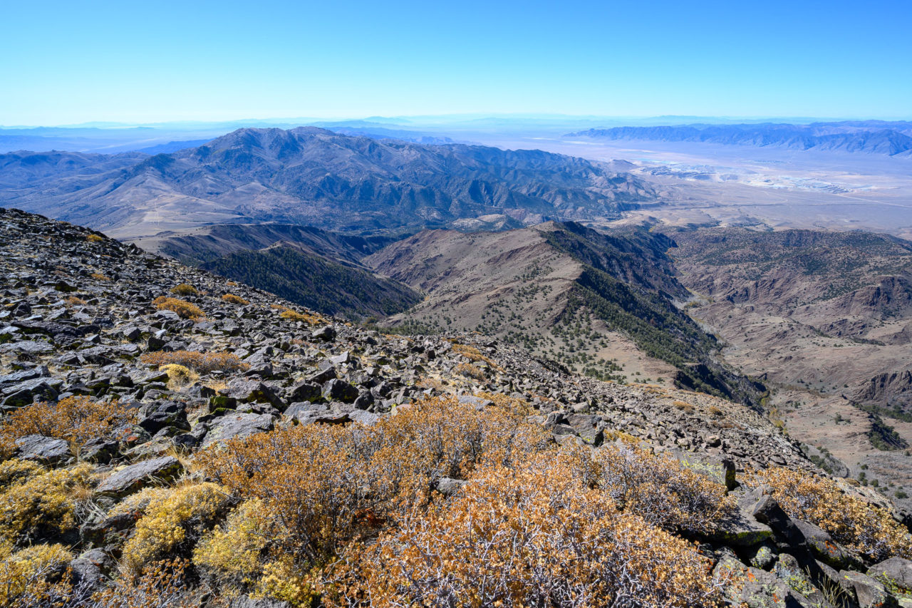
The Mount Jefferson plateau stretches for miles without a tree or bush growing anywhere. Fortunately the rock is fairly stable, and I was able to make quick progress up to the south summit. There are a small collection of communication towers on the summit, somewhat spoiling the sense of wilderness, but otherwise the views were good in all directions. Shoshone Mountain to the south, a P2K that I plan to visit in the future, and the middle and north summits of Mount Jefferson, the furthest of which was three miles distant. Before leaving I went over to the edge of the summit plateau and got some pictures of the aspen and cottonwood lined Sawmill and Slaughterhouse canyons that drop precipitously for more than 5,000 ft toward Big Smokey Valley. The large open pit mine near Round Mountain was also visible in the distance.
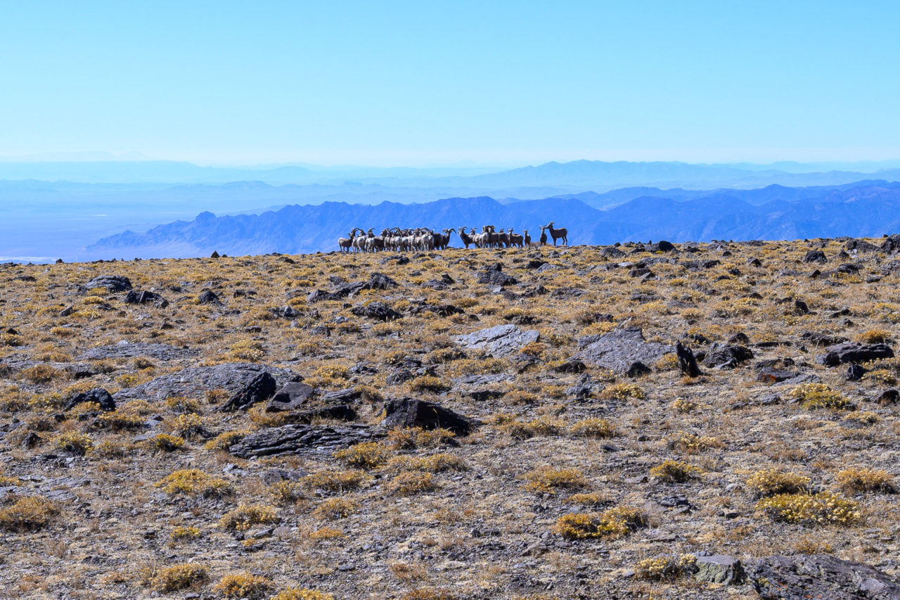
Continuing north from the summit, I descended to the broad plateau leading towards the middle summit of Mount Jefferson. Nearing the summit, I rounded a rock outcrop to find a herd of roughly 50 bighorn sheep, the most I have ever seen in a single area. At first they didn’t notice me, but as I got closer they grouped together watching me cautiously. There were several large male rams with darker colored fur near the front of the herd that seemed to be in charge of whether they would run or stay. I passed within a few hundred feet of them on my way to the middle summit, but they never ran away. I found an old partially degraded register at the summit, but nothing to write with.
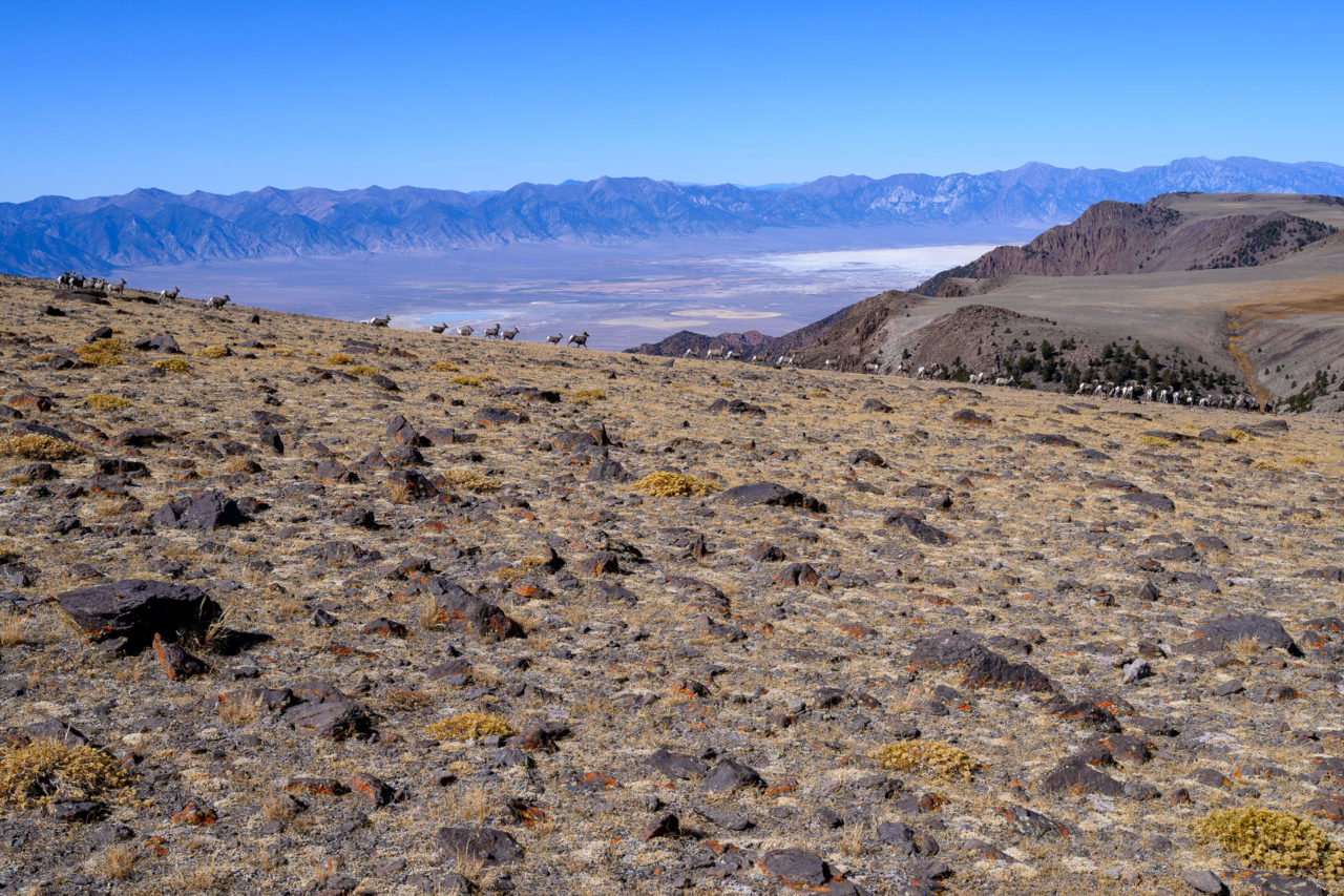
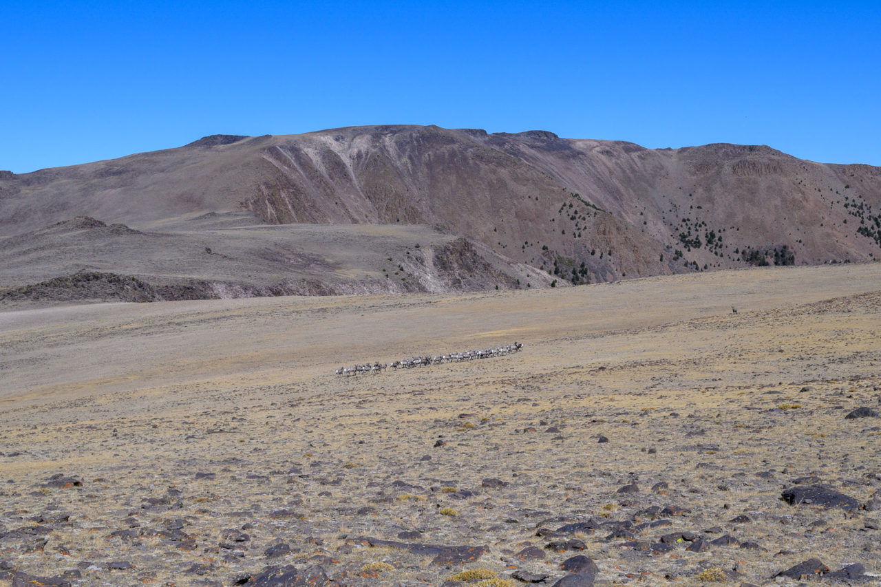
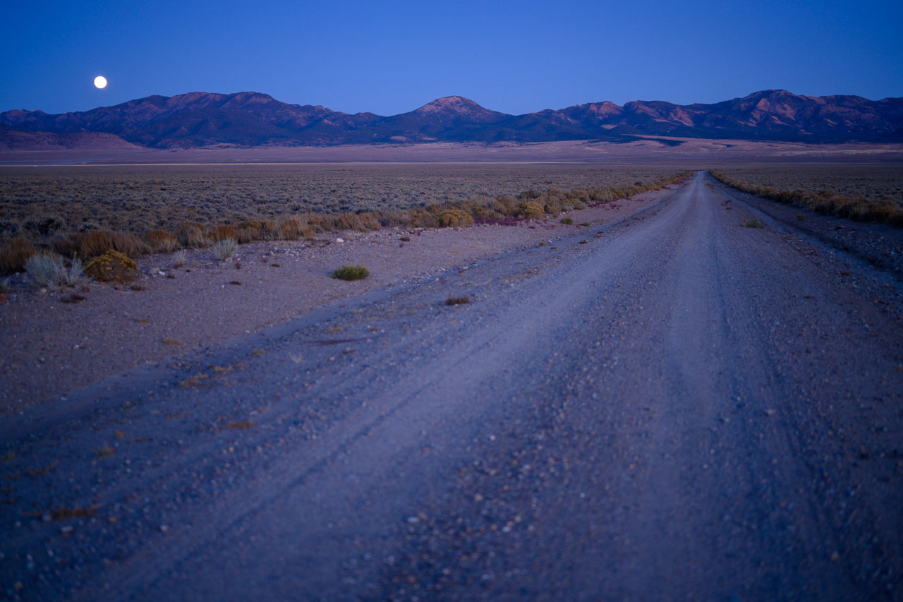
I passed several more herds on my way to the north summit of Mount Jefferson, bringing the total for the day to well over 100 big horn sheep. The final large herd disappeared over the east ridge as I was approaching the final climb to the north summit. I stopped to eat a snack here, and watched as a lone male made his way down the slope looking for the herd that had just left. He was unable to find them, and I watched over the next hour as he wondered aimlessly on the plateau looking for them. I am sure he found them eventually, but I couldn’t help feeling a little sorry for him.There was a cairn built up at the north summit with a register tucked inside. Once again there was nothing to write with. From the summit I made a quick detour to the east to visit a point that looked slightly taller, then started the return leg of the trip. On my way back I saw a few more big horn sheep, but it appeared the larger herds had left the plateau. I detoured on the east side of Mount Jefferson to avoid gaining additional elevation, finding one of the few sections with a well-defined trail. I retraced my route down Andrews Creek, returning to the car by late afternoon. The drive back from Windy Pass was slightly easier during the day, but still took a while. I was happy to make it back to the better section of road without getting a flat tire. The hunters I had seen earlier in the day had left the area, and I didn’t see anyone until I reached Monitor Valley at the bottom of Meadows Canyon. Just as I was exiting the canyon, a full moon began to rise over the ridge, lighting up the entire valley as I made my way north towards Table Mountain.