Area:
Toiyabe National Forest
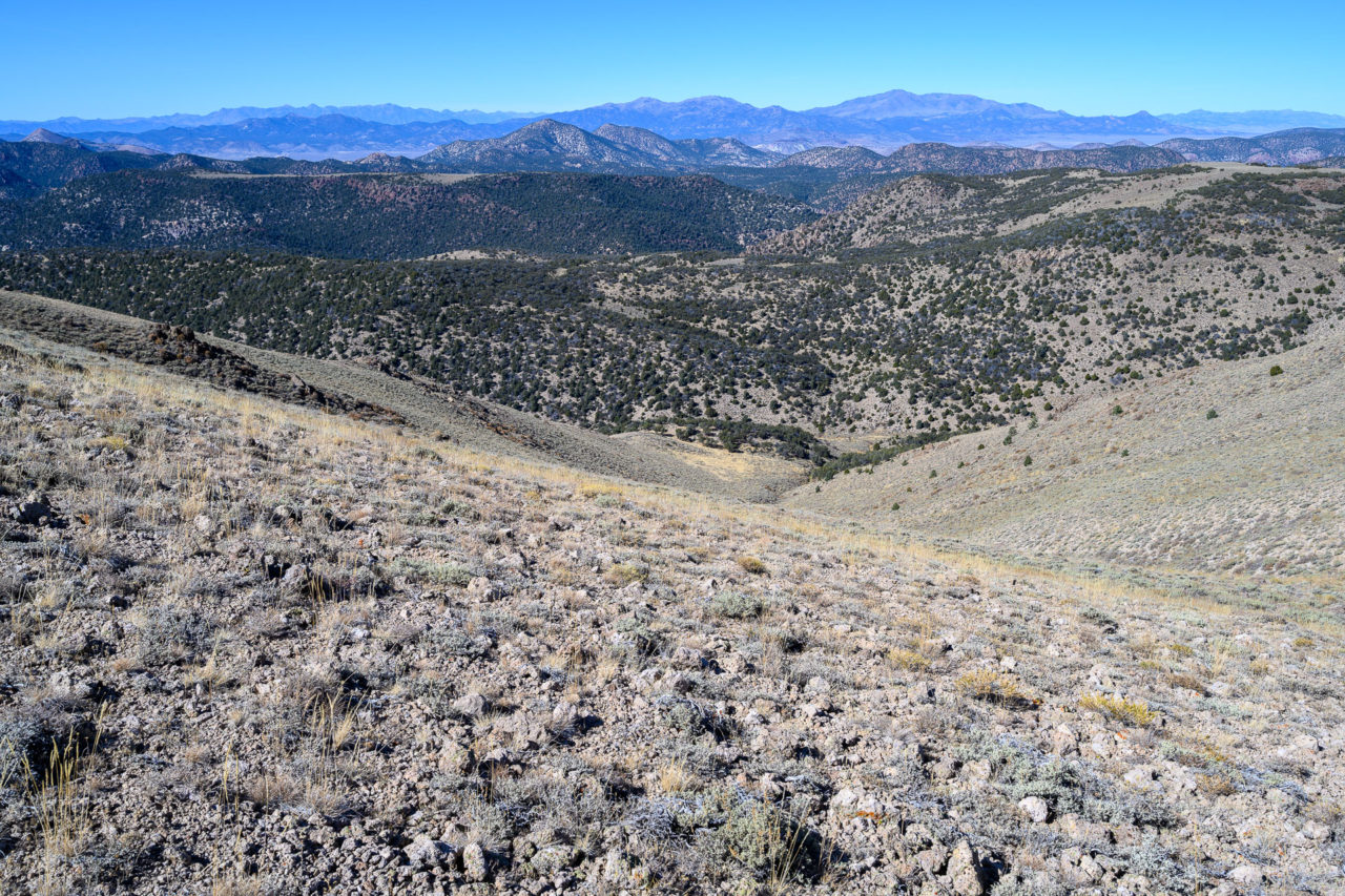
The McKinney Mountains are a rarely visited range in central Nevada. I first became interested in visiting the area when I noticed a prominent canyon flowing north from the center of the range. After studying the map I learned this was Hunts Canyon. I was interested in exploring the area further, so I made plans to do a loop hike up Hunts Canyon and Big Cottonwood Canyon, tagging the range highpoint, George BM, in the process.
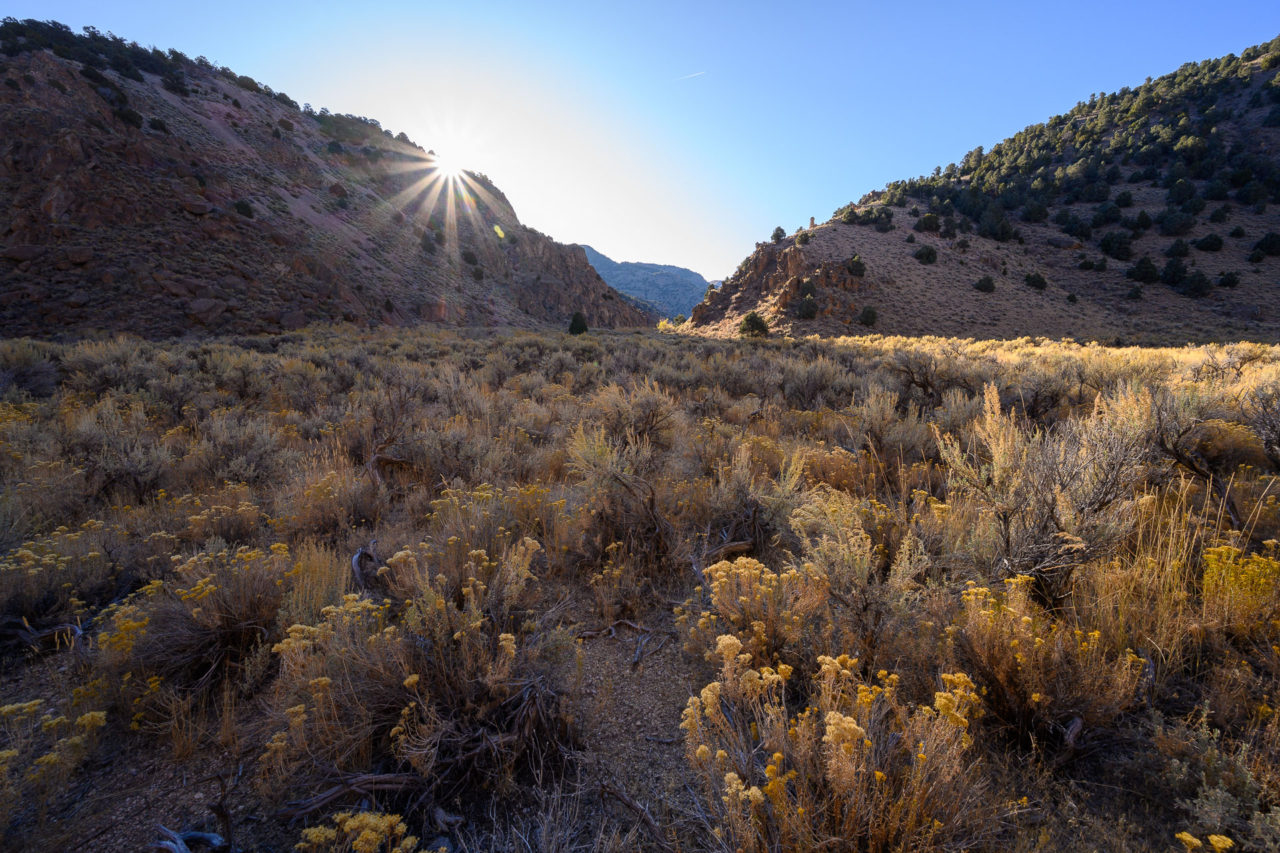
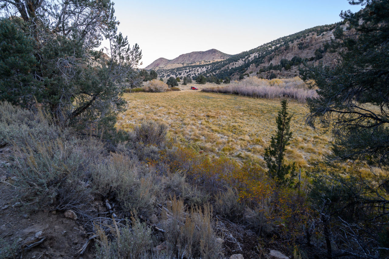
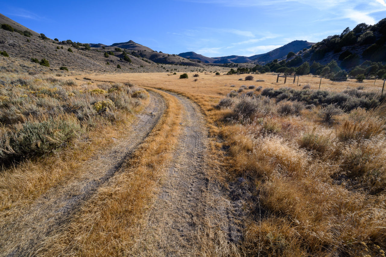
I drove in the night before on the well maintained FS-7, which branches off Highway 82 near the south end of Monitor Valley. I passed two cattle fences on the way in, stopping each time to open and close the barbed wire fence. There were still cows grazing in one of the lower meadows, and there would be ample sign of their presence throughout the hike. Near the end of the road I passed an old building with room to park nearby. I continued a bit further, crossing Hunts Creek on a rougher road that ended near a meadow.
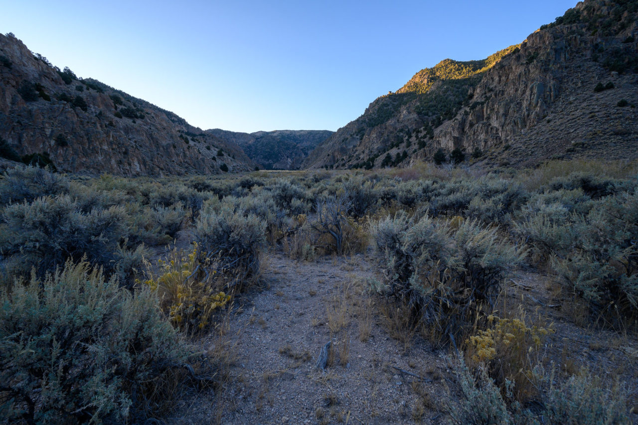
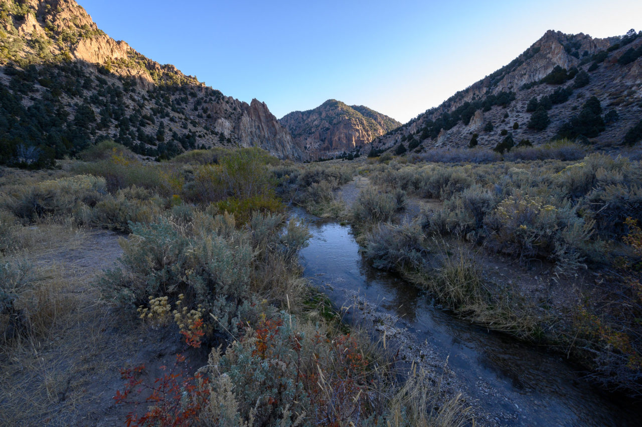
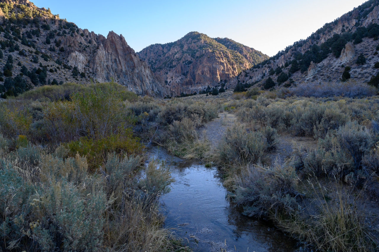
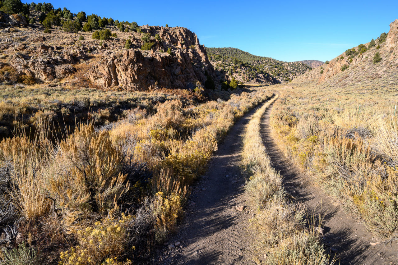
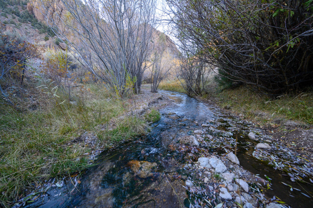
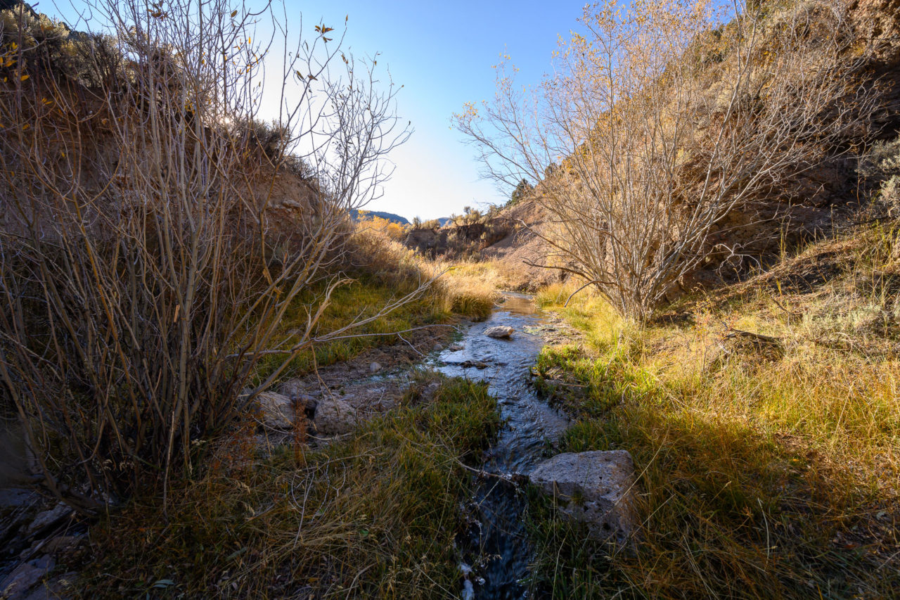
When I woke in the morning the temperature gauge in the car read a chilly 12F. Starting up the canyon just as it was starting to get light, I found an old tire track leading up the canyon. The track was starting to be reclaimed by nature, and appears to be mostly used by cows these days. There was some nice morning light on the canyon walls as I continued roughly four miles to the junction with Big Cottonwood Canyon. I crossed Hunts Creek several times in the process, which still had a decent flow despite being late in the season.
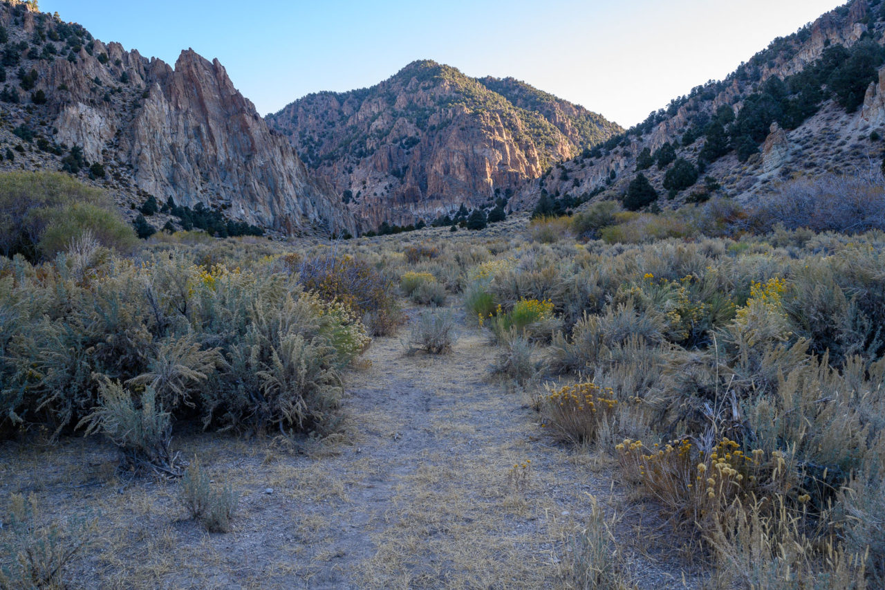
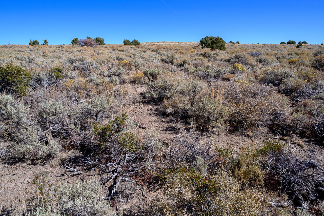
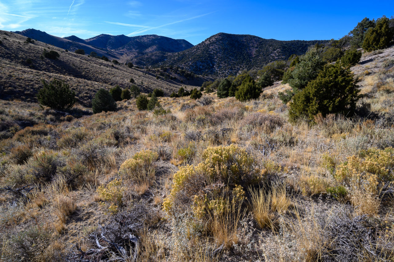
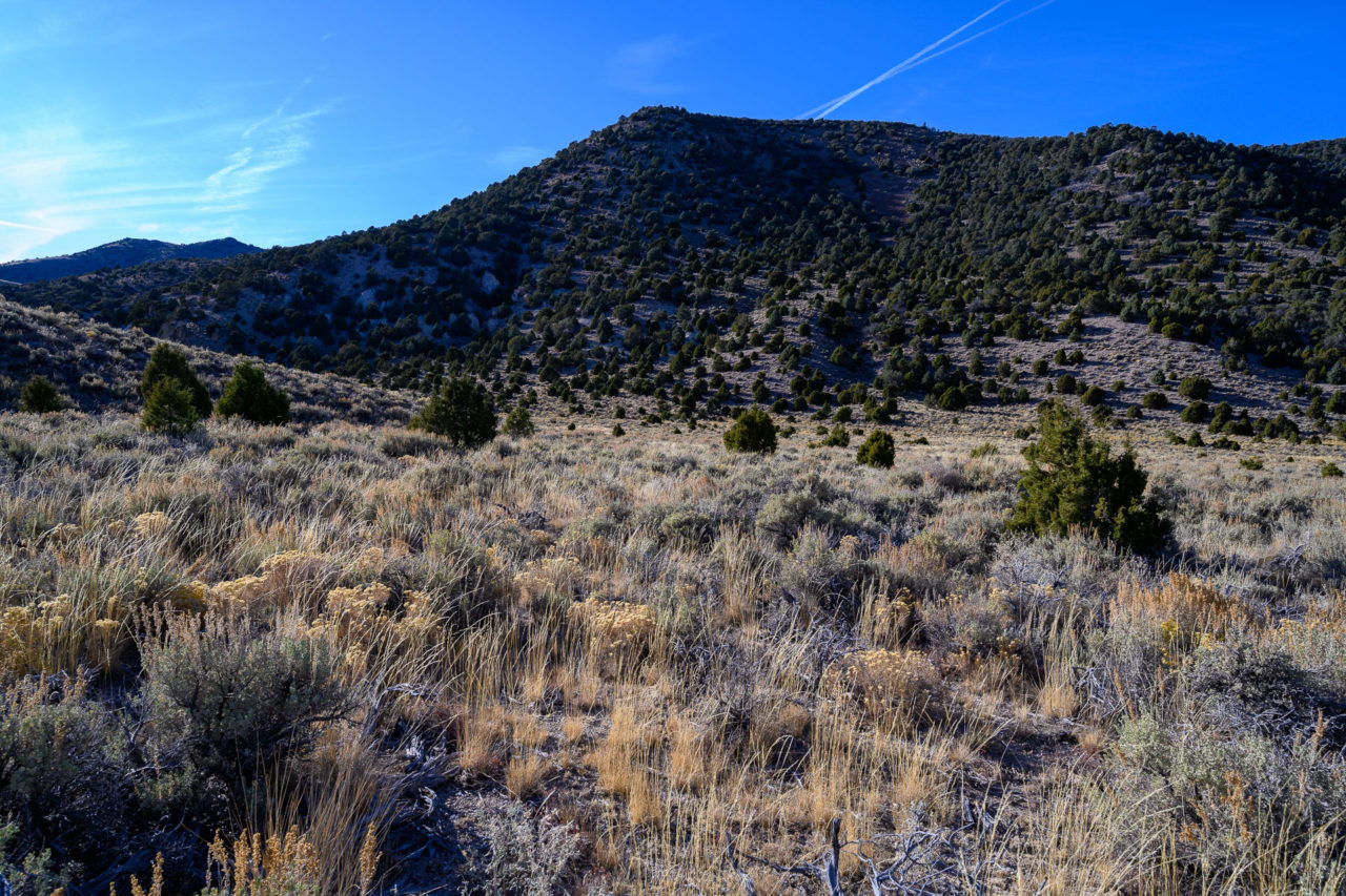
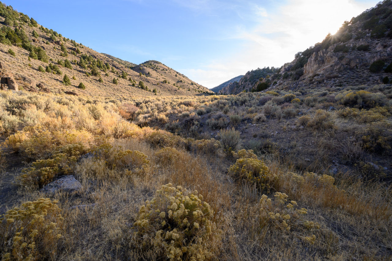
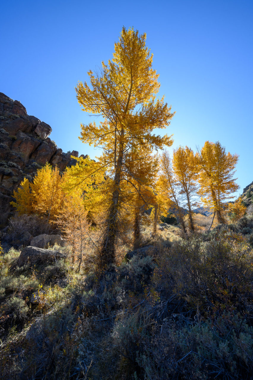
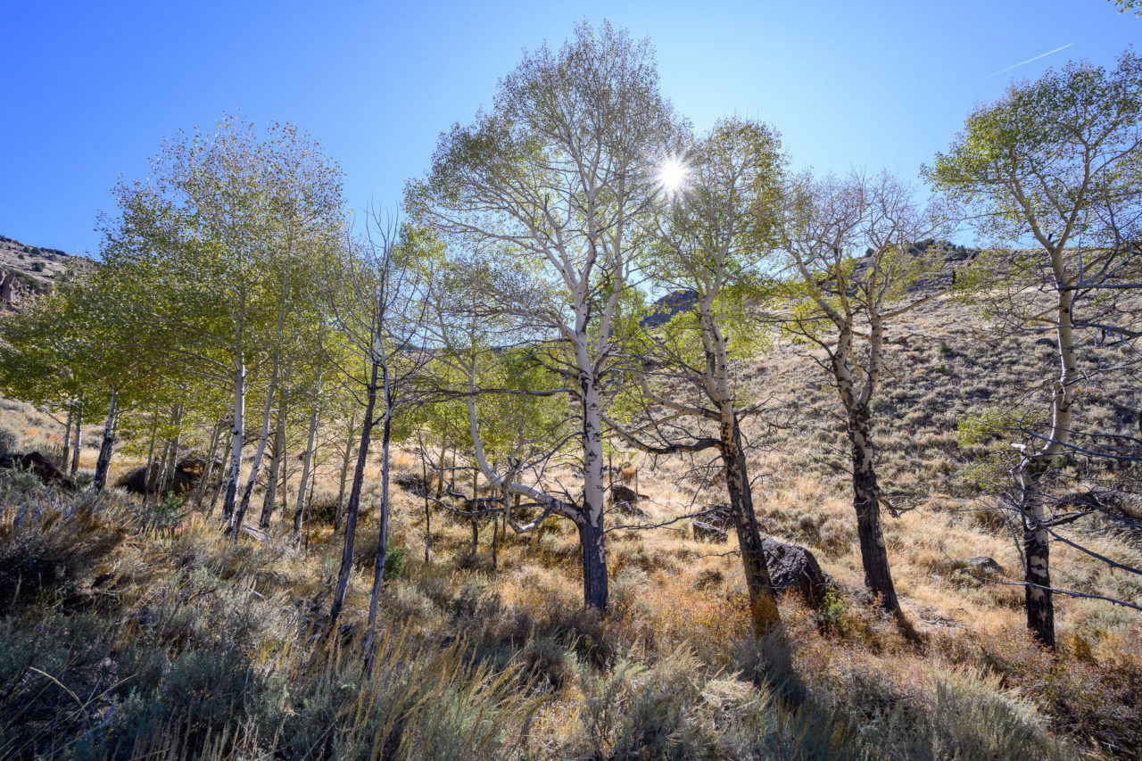
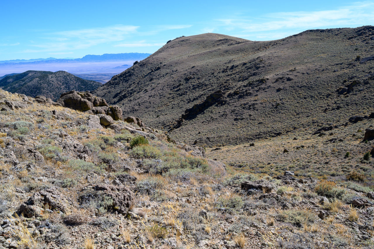
The old road I had been following became a game trail as I entered Big Cottonwood Canyon. The cottonwoods of Big Cottonwood Canyon appeared shortly after starting up the canyon. Passing through a thicket of bush that would have been impenetrable had it not been for animals travelling up and down the canyon, I entered a broad upper valley lined with aspens at the higher elevations. The trail disappeared entirely at this point, but it was pleasant open desert terrain as I continued up the valley.
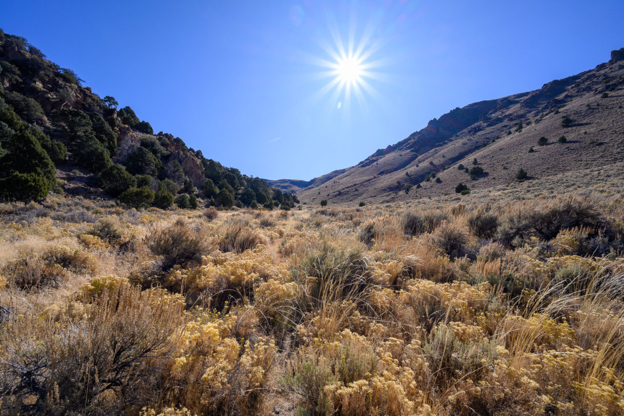
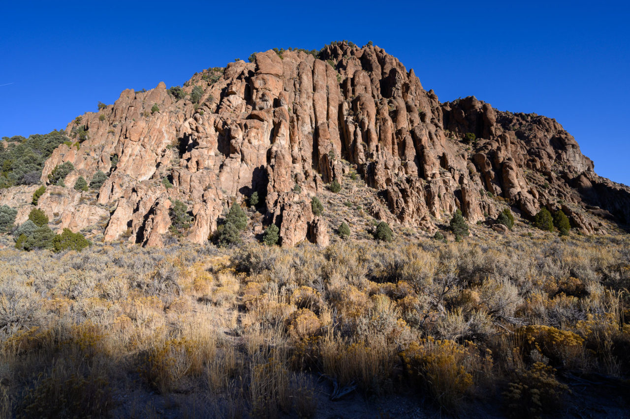
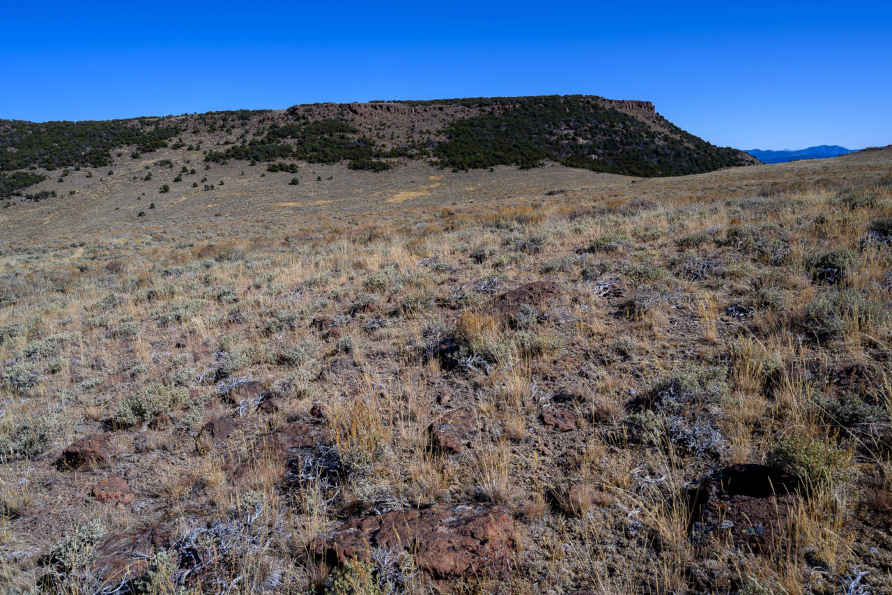
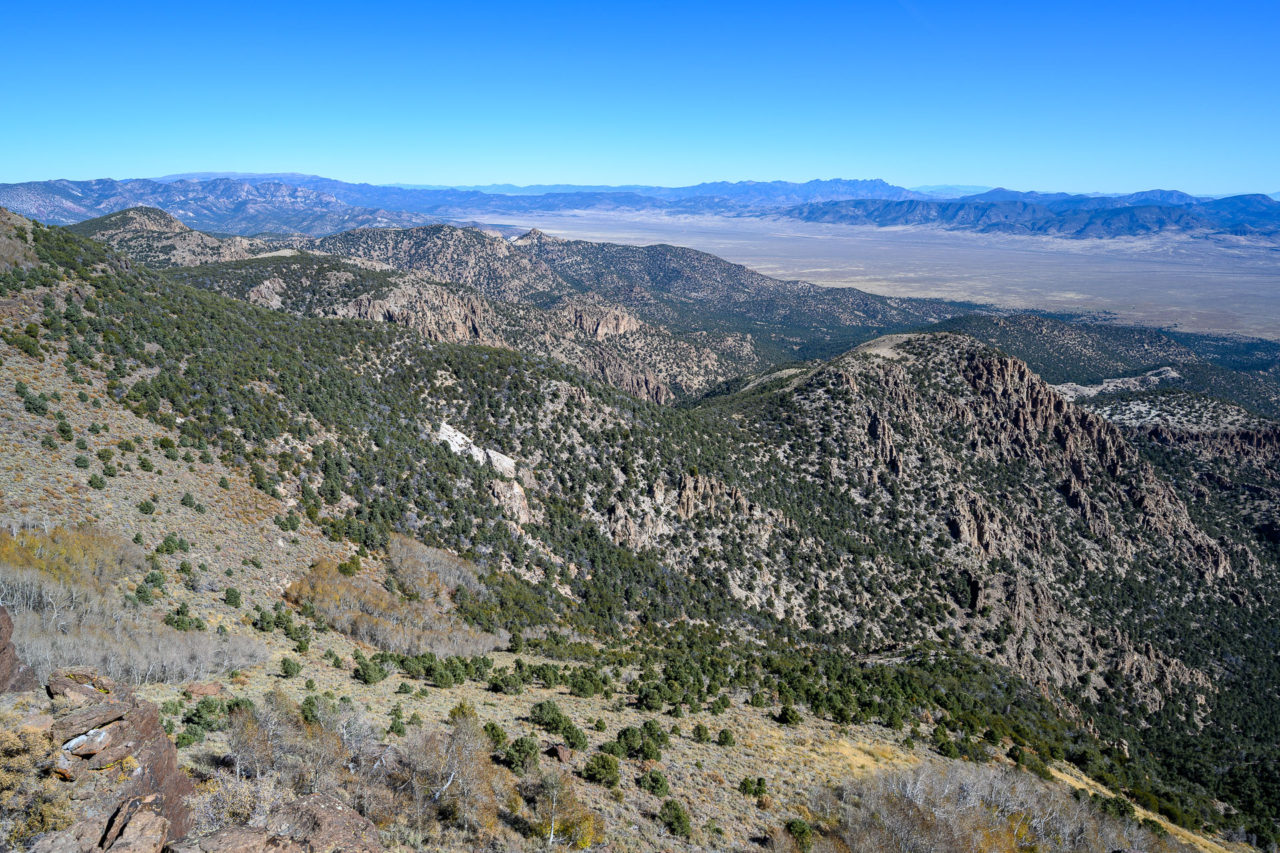
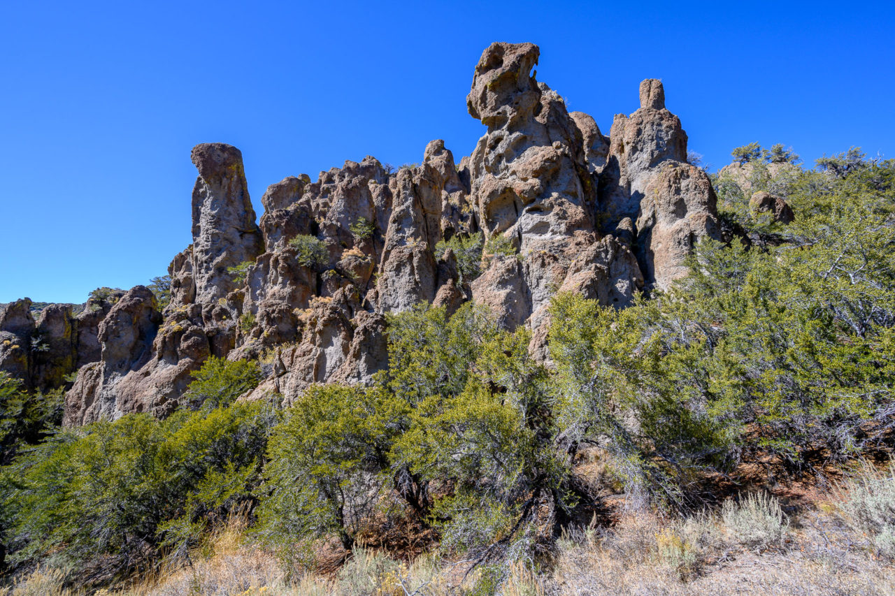
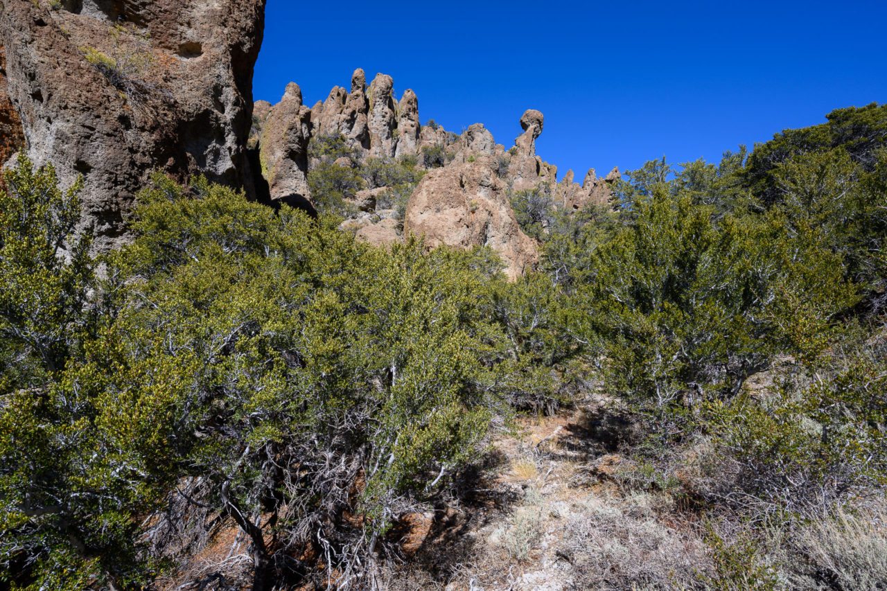
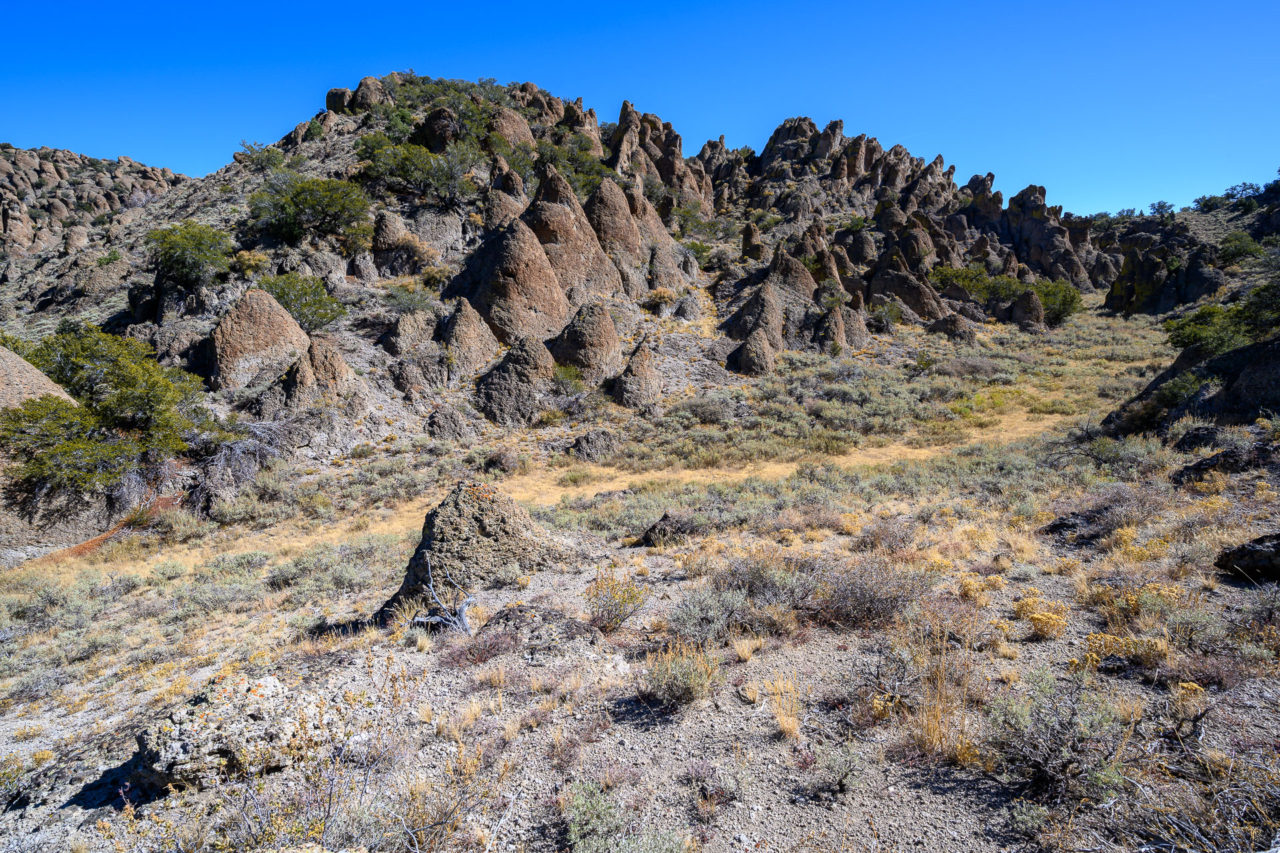
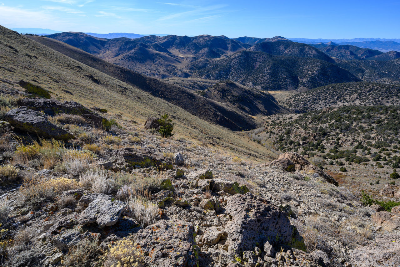
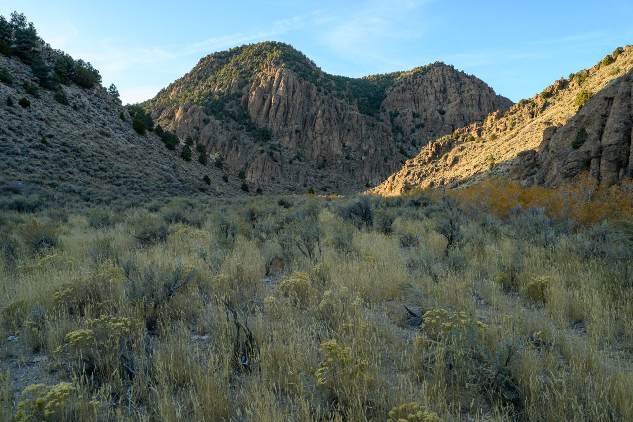
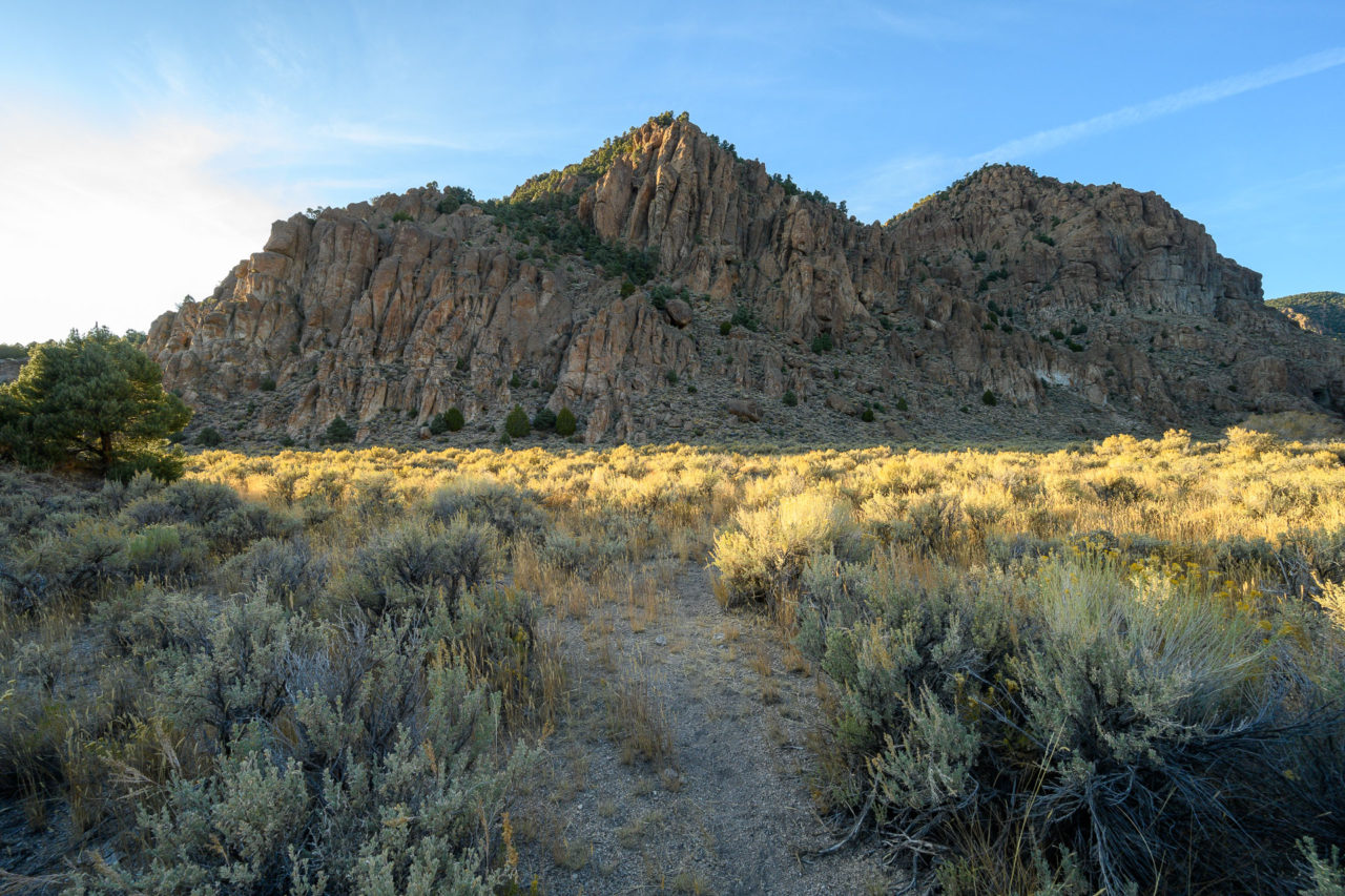
I made a short detour to visit Peak 9260 before continuing south on the ridge towards George Benchmark. I should have followed the GPS a bit closer, and ended up crossing a dense section of bush in one area, but otherwise enjoyed the route. I passed some interesting volcanic features along the way, and travelled through several secluded meadows that appeared to be spring fed earlier in the year. Eventually I made it onto the open ridge leading to George Benchmark, which I reached by mid-afternoon, roughly 12 miles into the hike. There are two areas vying for the highpoint, separated by roughly a half mile on the ridge. The MacLeod/Lilley summit register is on the northern highpoint, but according to my GPS the southern highpoint was slightly taller.
From the summit I continued west toward the upper end of Hunts Canyon. Surprisingly, just as I was dropping down the final slope, I spotted a truck heading down the canyon. I had expected the road in the upper canyon to be in the same state of disuse as it was lower in the canyon, but as it turns out there is a decent access road coming in from White Sage Canyon, likely the shortest and easiest way to reach George Benchmark. There were two hunters in the truck. They asked if I had seen any elk (I hadn’t), and seemed concerned that I wasn’t going to make it back to my vehicle before dark. They were nice enough to offer me water and a ride back to my vehicle, but I declined.
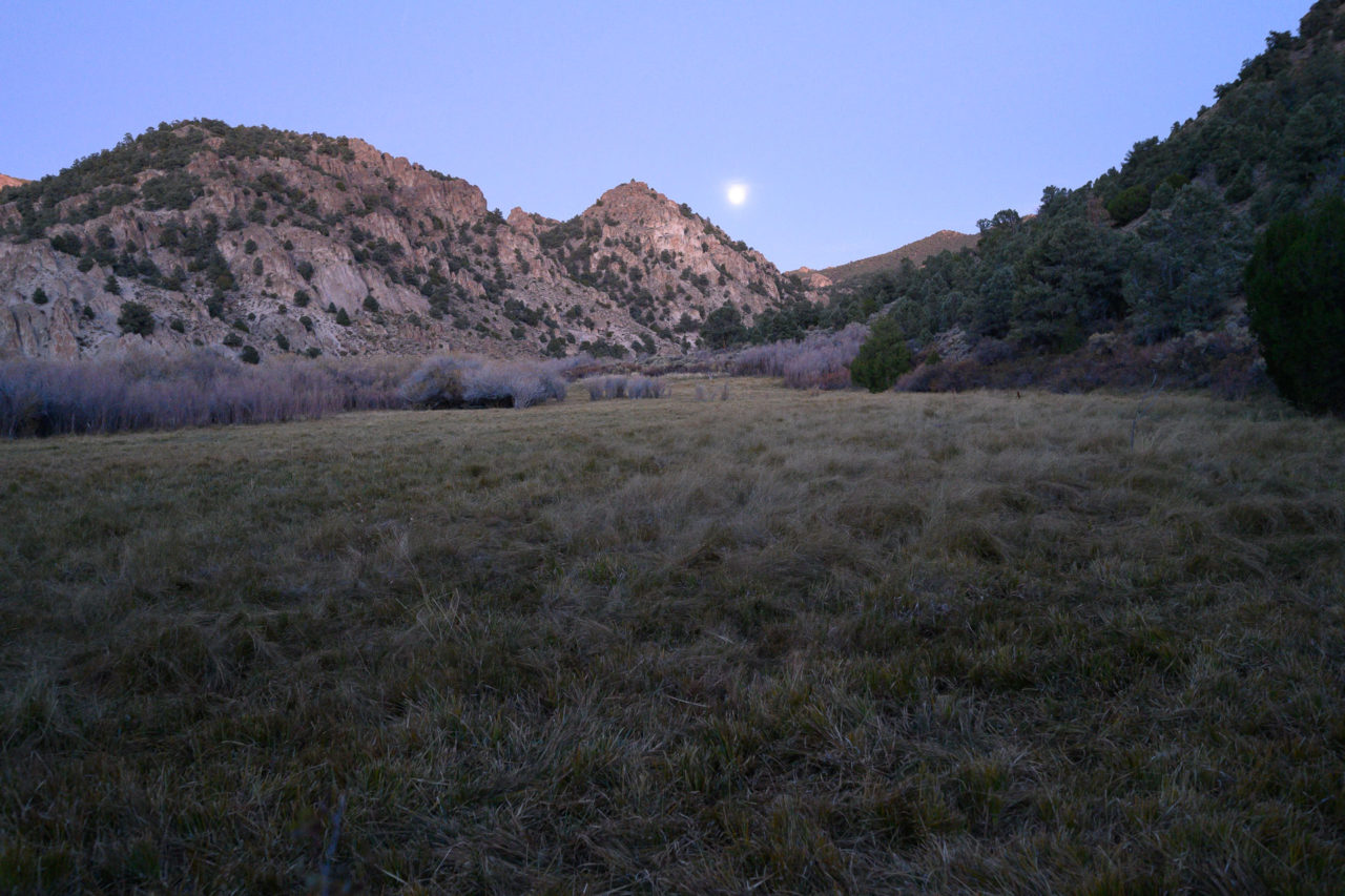
The road the hunters had been using branched east up Sage Hen Canyon about a half mile further down the road. There was an old barbed wire cattle fence that I crossed here to continue down Hunts Canyon, beyond which the route became a sparsely used game trail. The sun started to fall behind the ridge as I made my way down Hunts Canyon, creating some nice light on the canyon walls. I continued another two miles down the canyon before rejoining my track from earlier that morning, then another four miles back to the car. I arrived back just as it was starting to get dark, with a full moon rising over Hunts Canyon.