16.1 Miles, 7150 Gain
The Carson Iceberg Wilderness is one of my favorite nearby wilderness areas. Over the years I have visited a majority of the named summits, leaving the more obscure and remote summits lying deep in the wilderness – some of my favorite areas to explore. I planned a two day, mostly cross-country trip following the ridge above the East Fork of the Carson River that would allow me to tag 10 summits in the area.
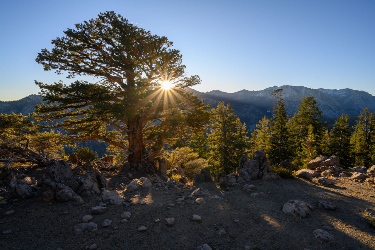
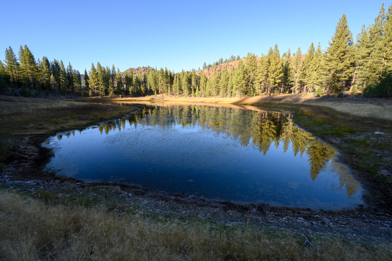
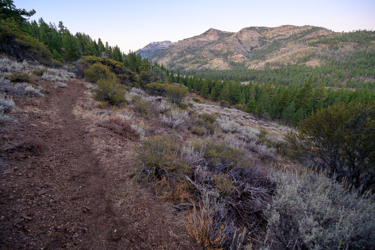
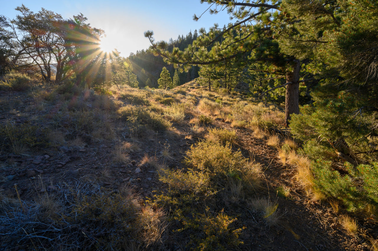
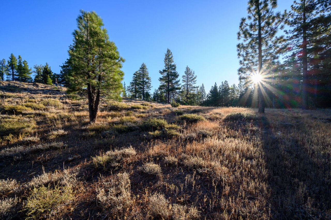
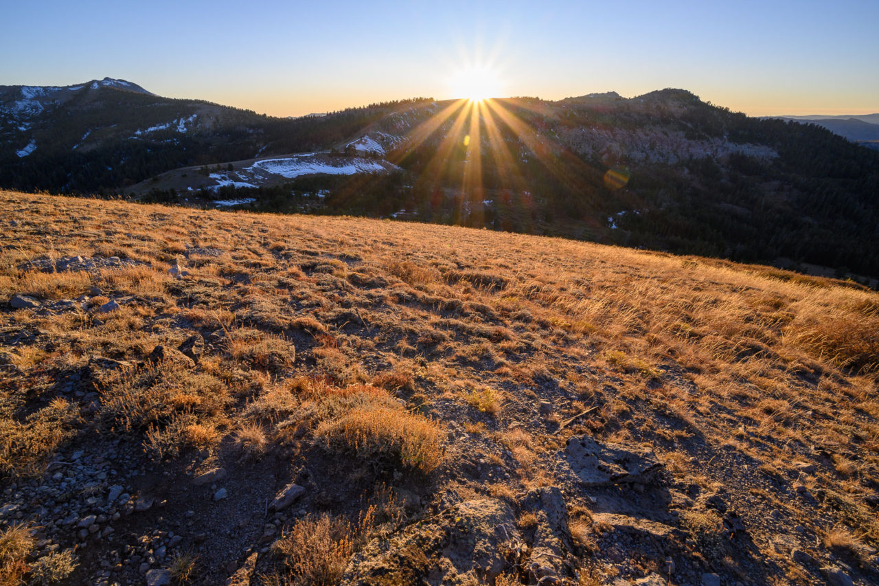
Driving in the night before I found the bridge across Wolf Creek was undergoing construction, adding about a half mile each way. There is a small pull out just before the bridge where I spent the night. In the morning I crossed the bridge and made my way up the road to the High Trailhead. I followed the trail for two miles before heading cross-country up the ridge to Peak 9221. An unusually cold early season storm had moved through the prior weekend, leaving a few inches of snow in shaded areas throughout the higher elevations.
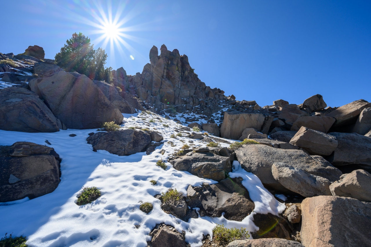
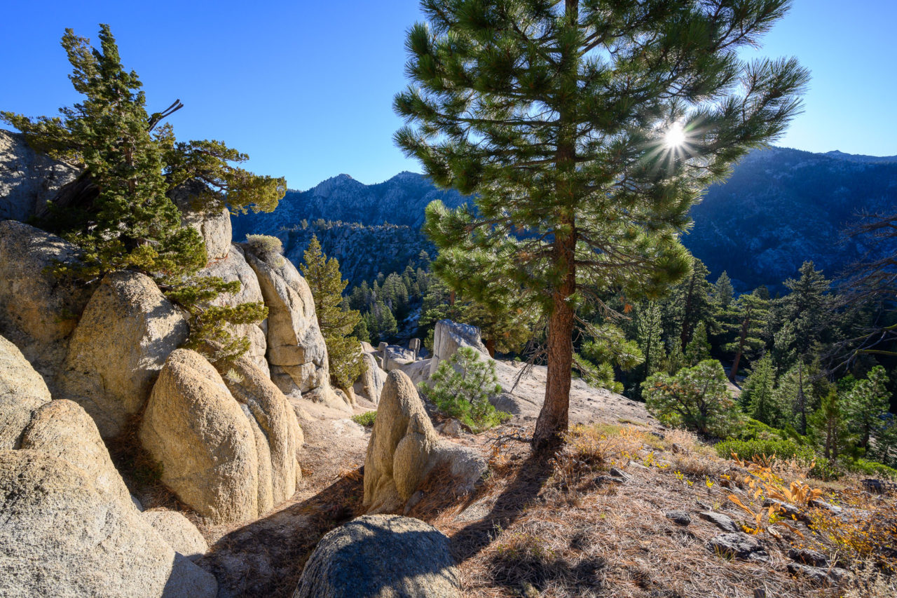
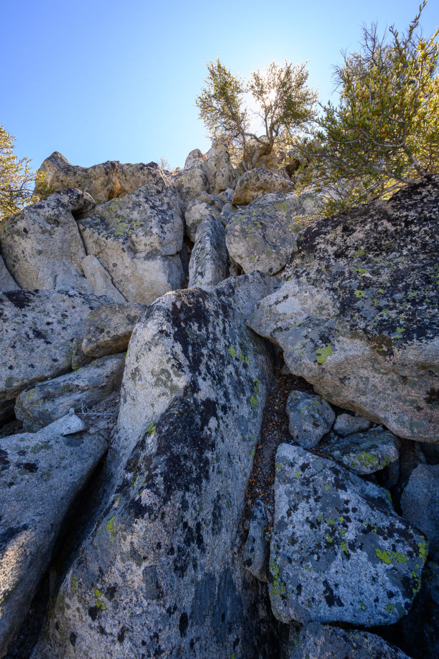
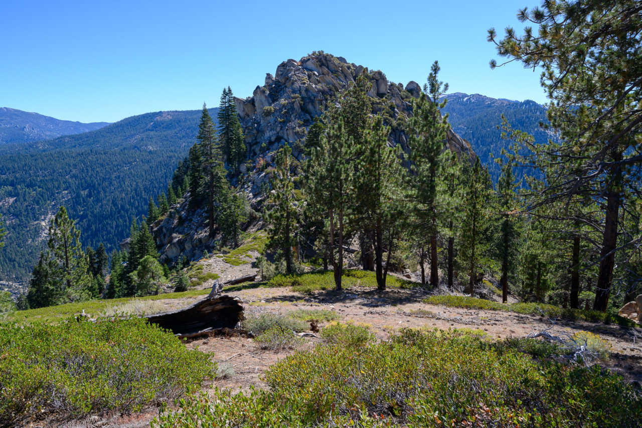
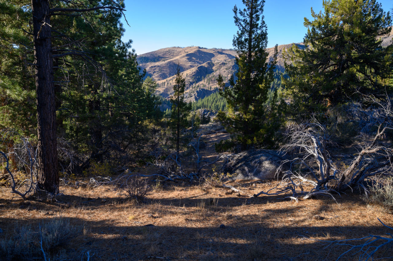
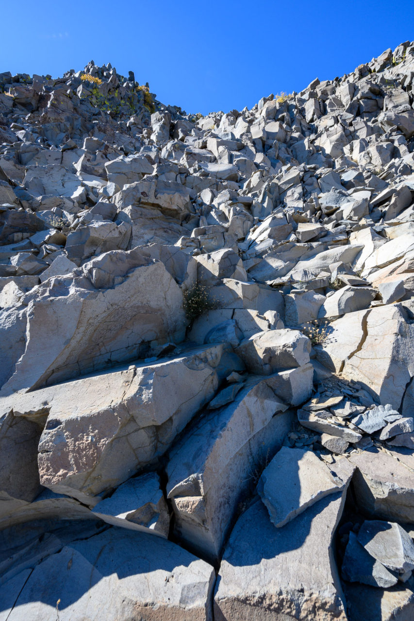
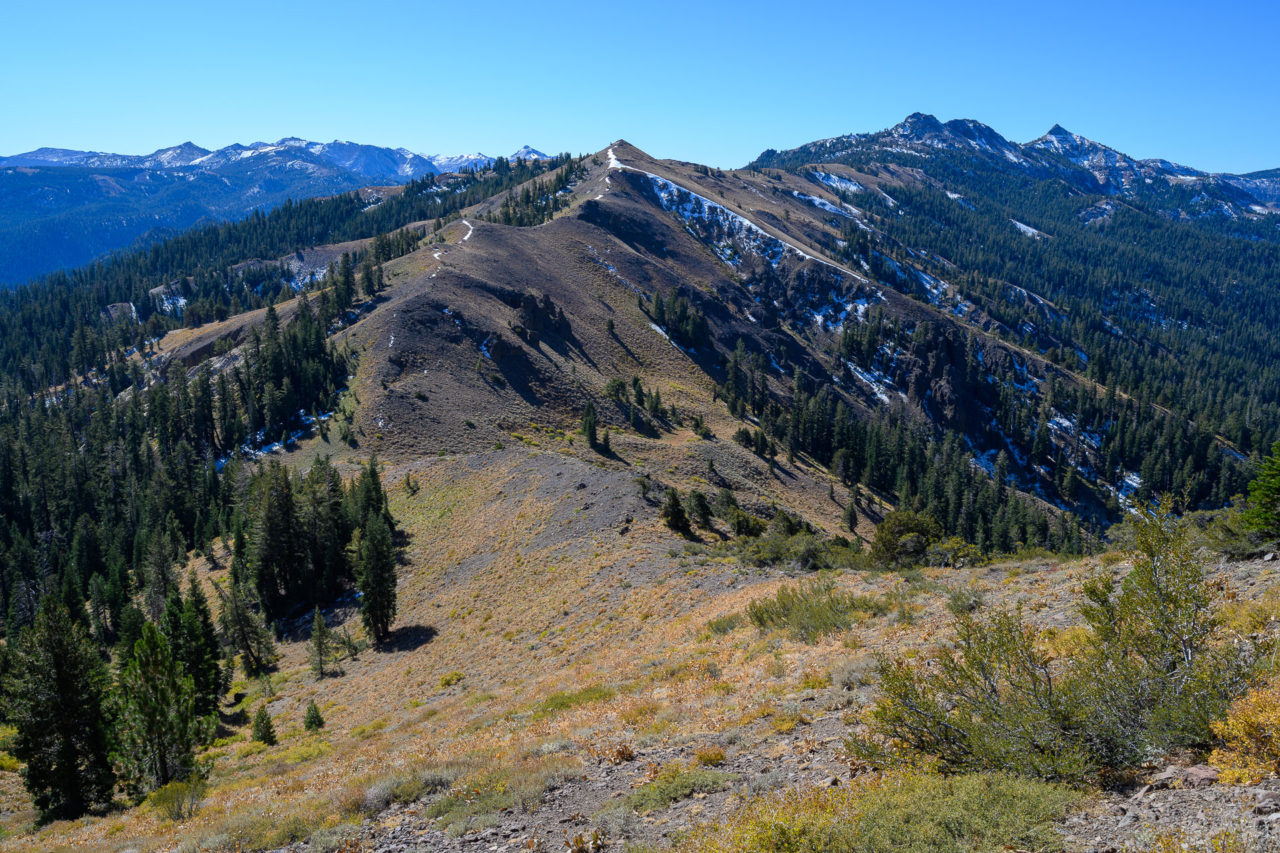
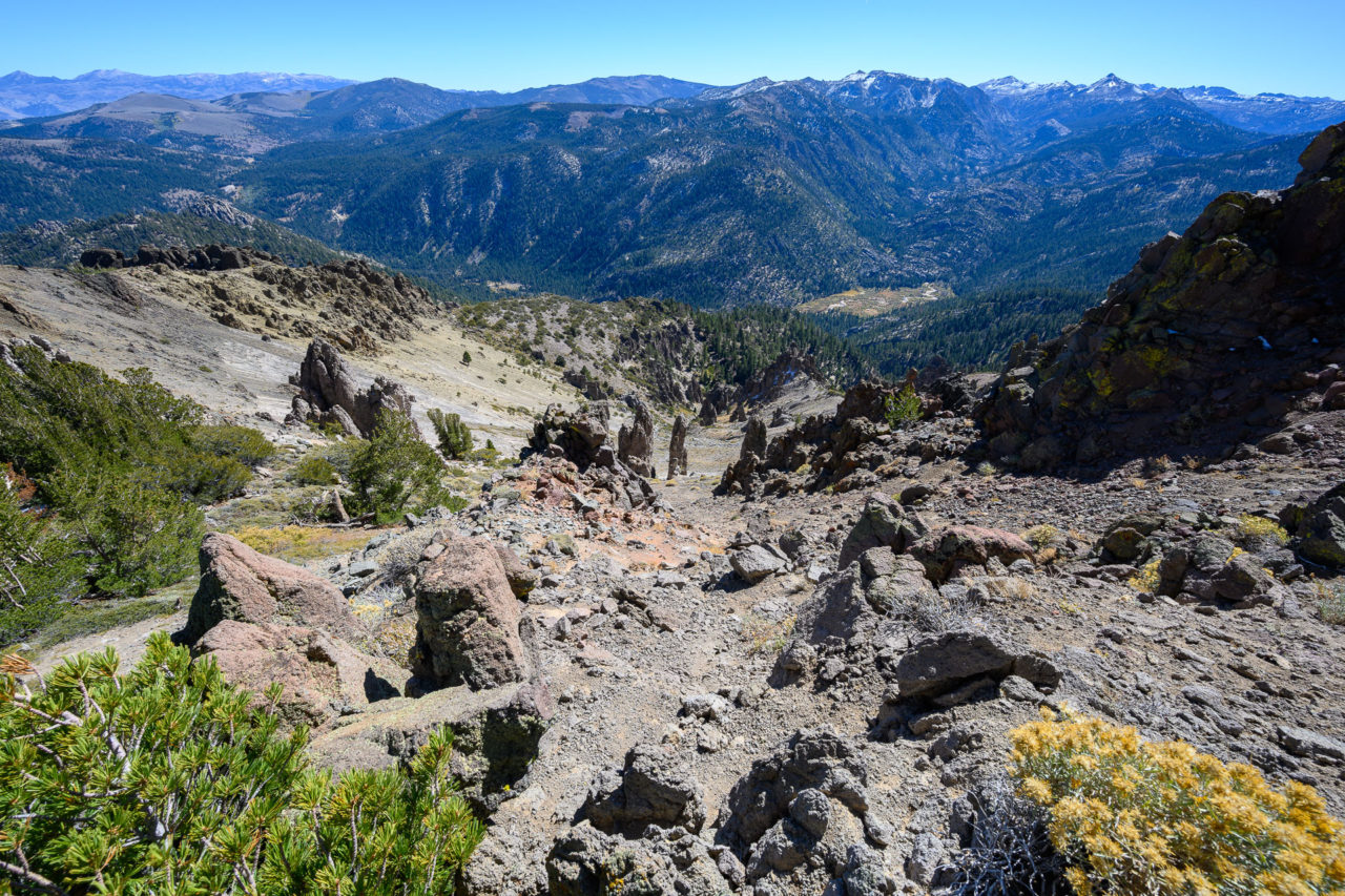
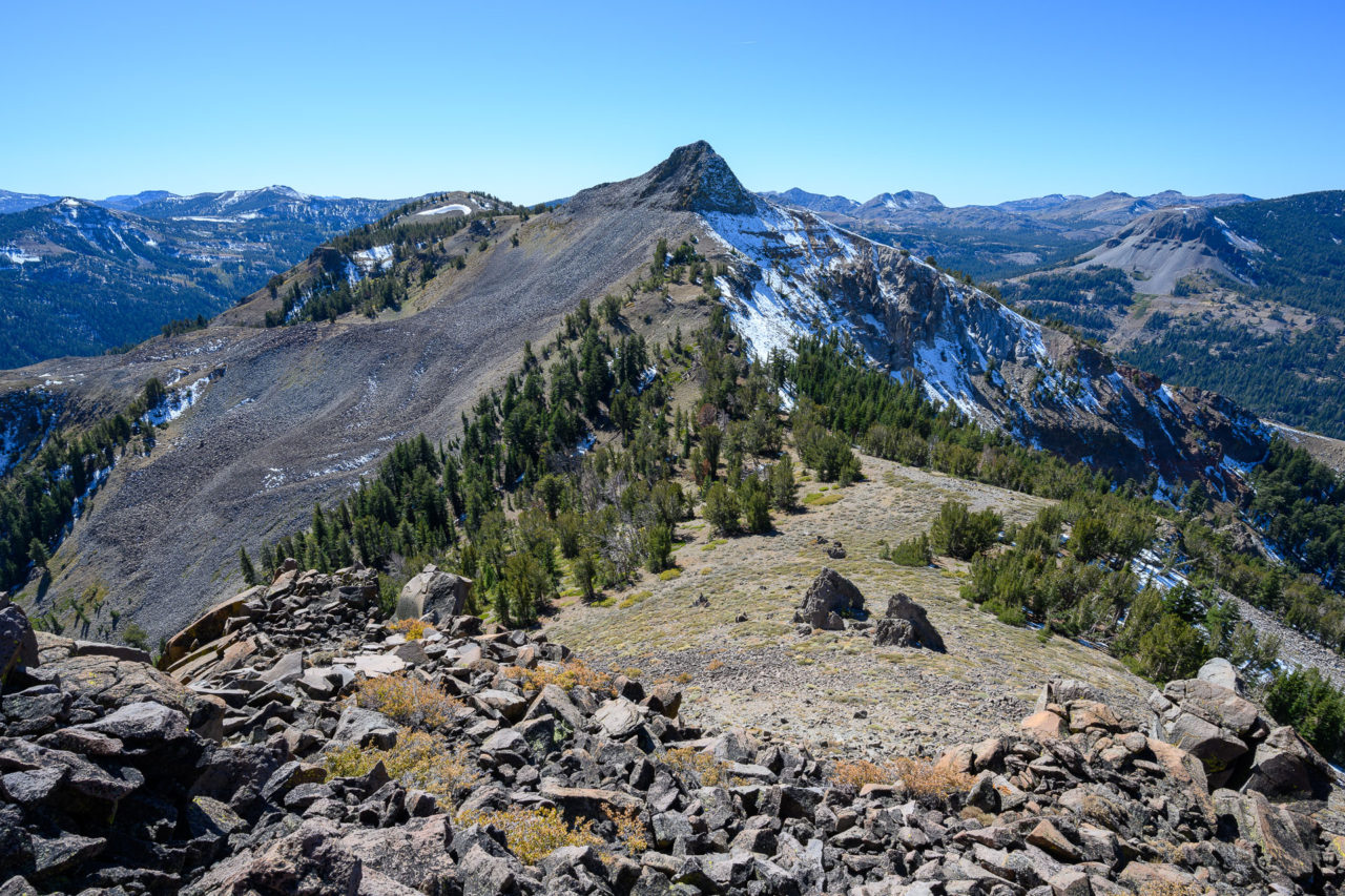
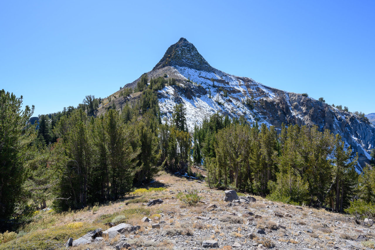
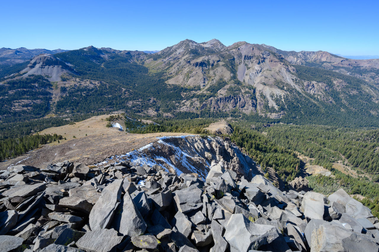
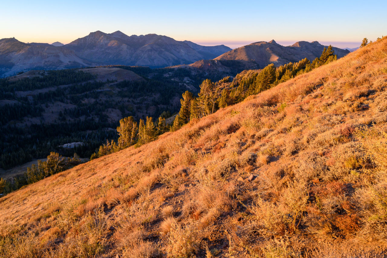
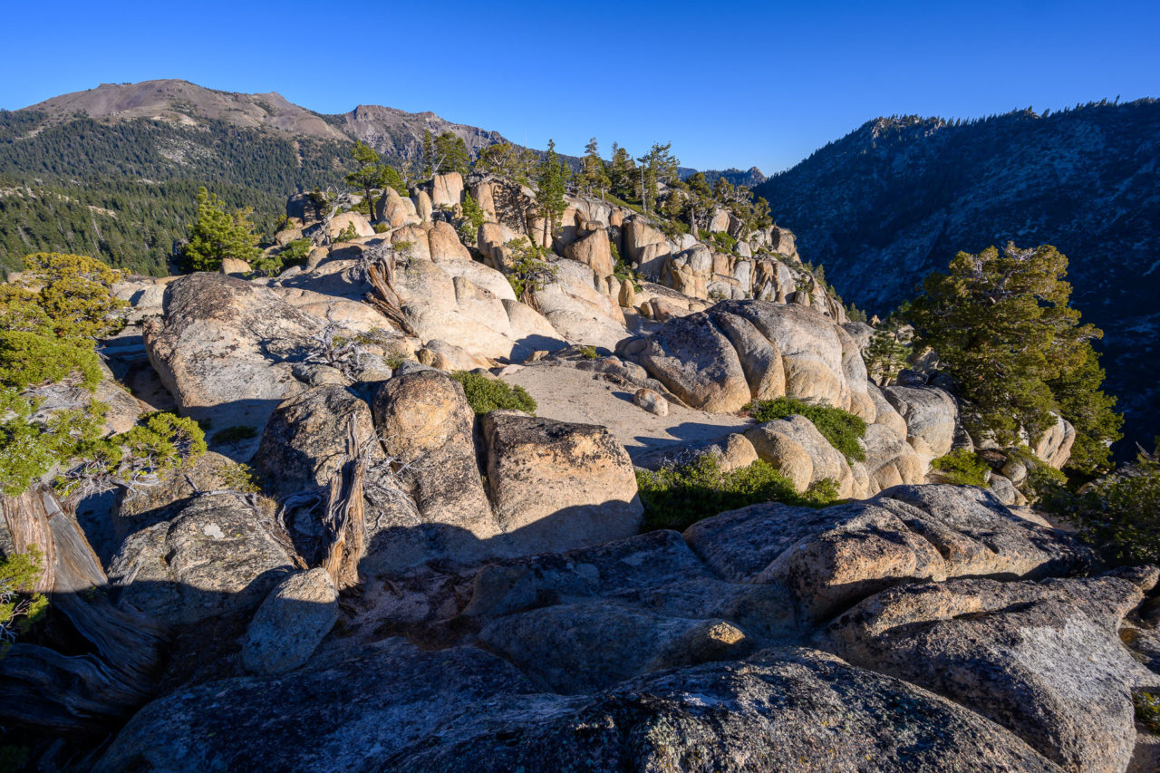
The ridge to Peak 9960 was pleasantly open, but slightly tedious owing to the volcanic rock present throughout much of the area. By the time I reached Peak 9960 the ridge had transitioned to loose volcanic boulders that would make for slow going. From the summit Peak 9911 rose impressively a half mile further on the ridge. After dropping down to the saddle I made my way up an enjoyable Class 3 section on surprisingly solid rock that led to the summit of Peak 9911.
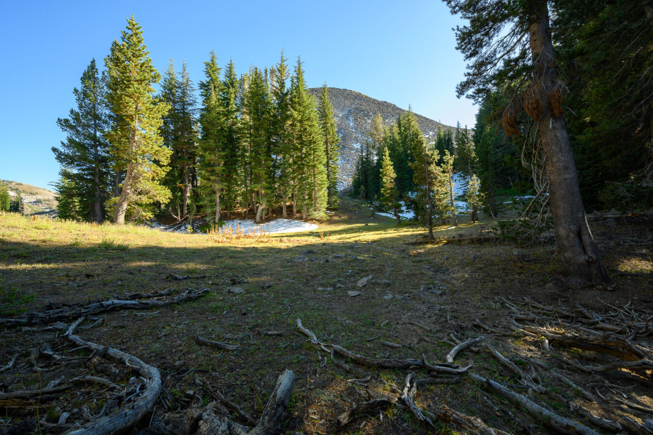
More volcanic rock followed as I descended roughly 1000 feet over the next 1.5 miles down to the saddle with Murray Canyon. I picked up a PCT connector trail that led past Peak 9362 and Peak 9800. I dropped my pack near the base of both peaks and did a quick scramble up to each summit. I then followed the PCT south, getting water from Murray Canyon before leaving the trail to climb Peak 9783.
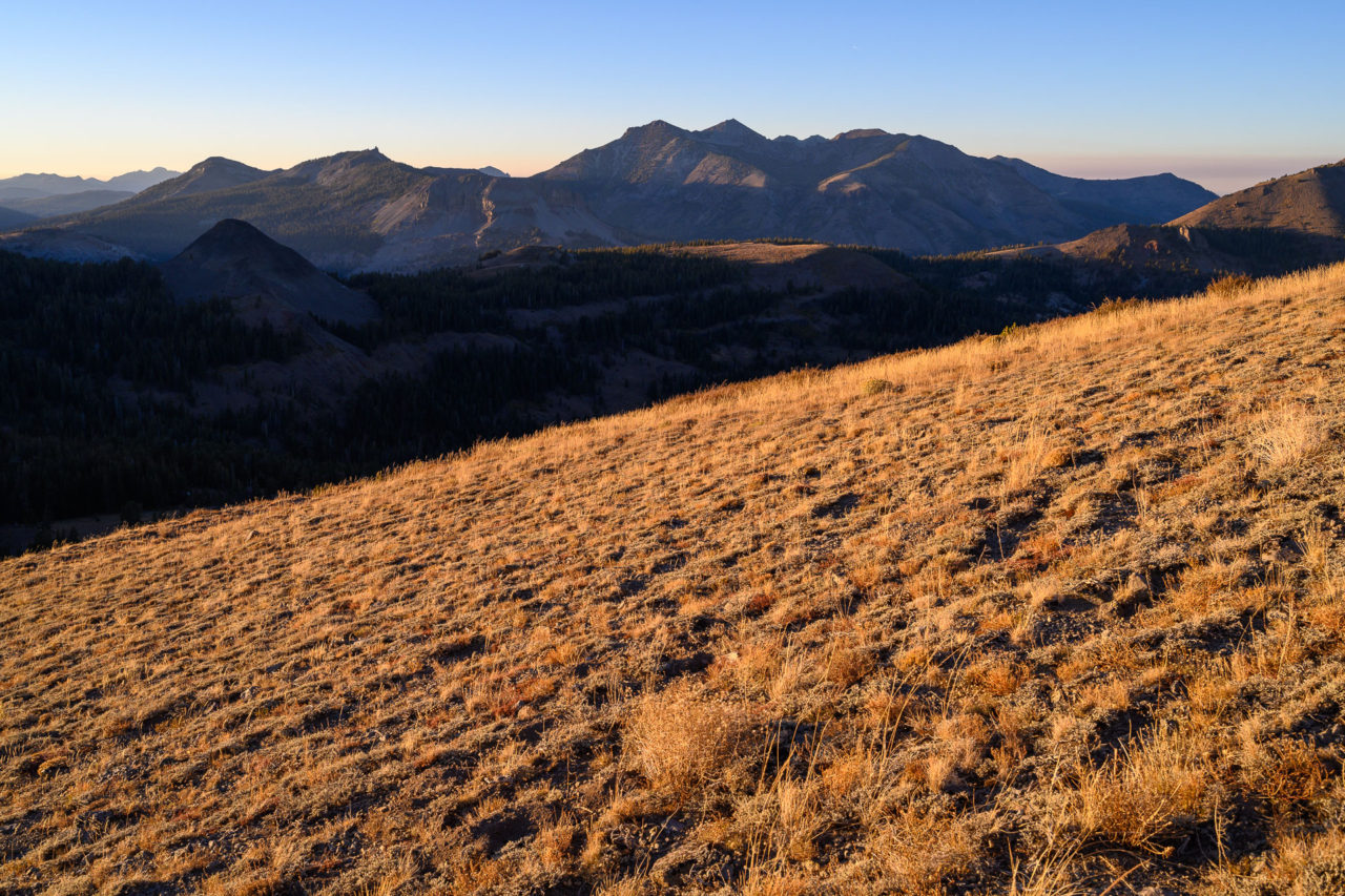
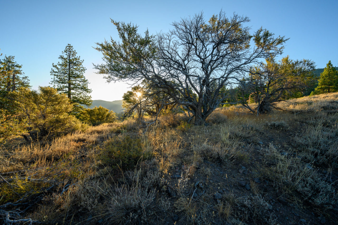
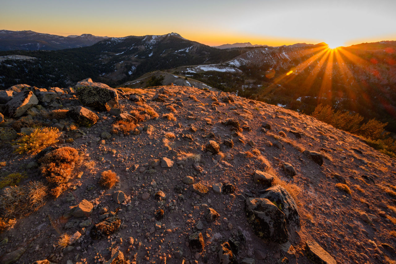
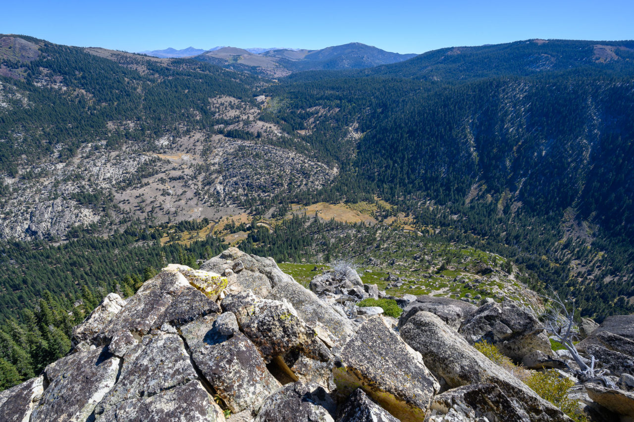
The sun was starting to set by this point, casting some impressive shadows on Highland Peak to the north, and Stanislaus Peak and Golden Canyon to the south. I continued down the ridge for a half mile before finding a nice wind protected spot on a bluff overlooking Golden Canyon. Fierce winds moved through in the middle of the night, but cleared up by the morning.


16.7 Miles, 3450 Gain
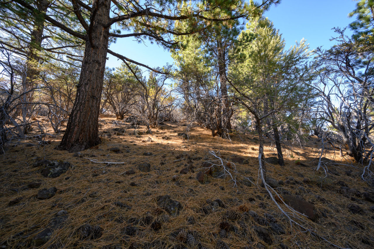
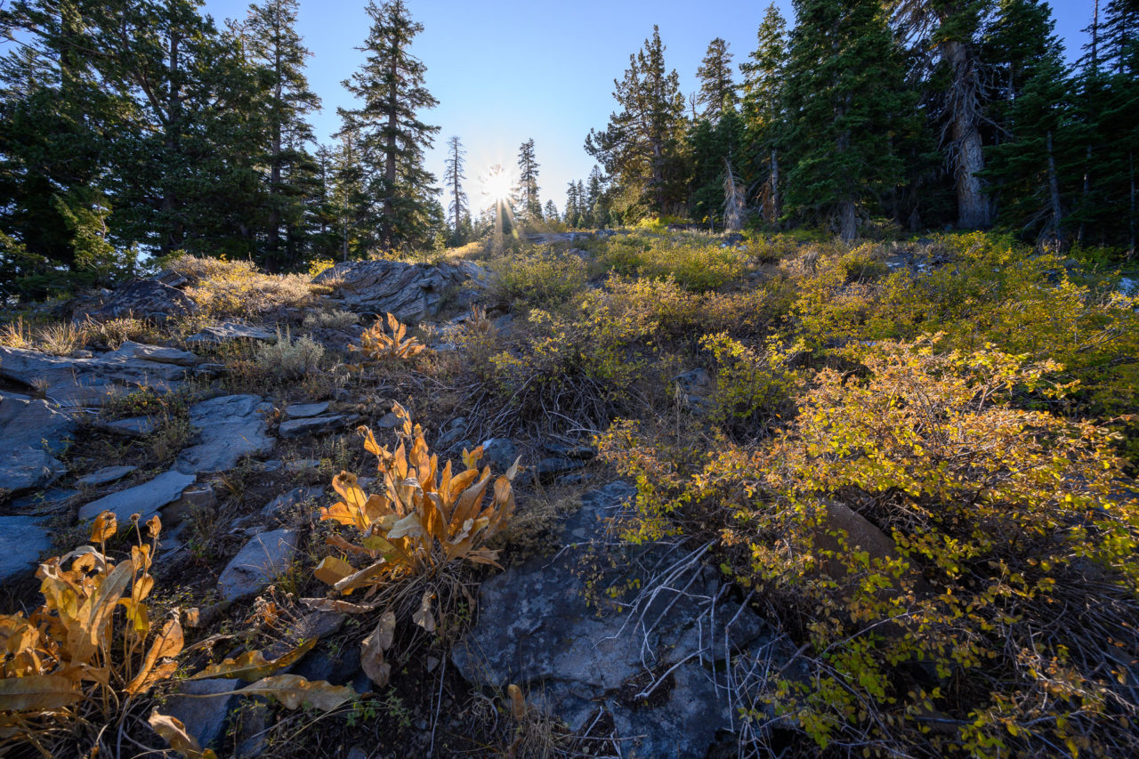
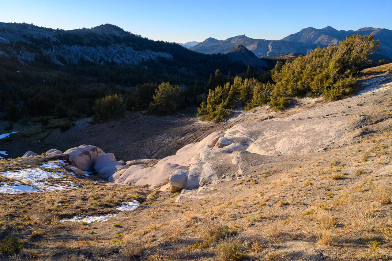
After packing up camp in the morning I made the steep descent down to the saddle with Peak 8280. As I descended I passed through the volcanic top layer and entered back into granite terrain. The granite was impressively weathered in areas, and made for an interesting route up to Peak 8280. From the summit of Peak 8280 I backtracked to the saddle then dropped down an unnamed side canyon before eventually rejoining the trail near the upper end of Falls Meadow.
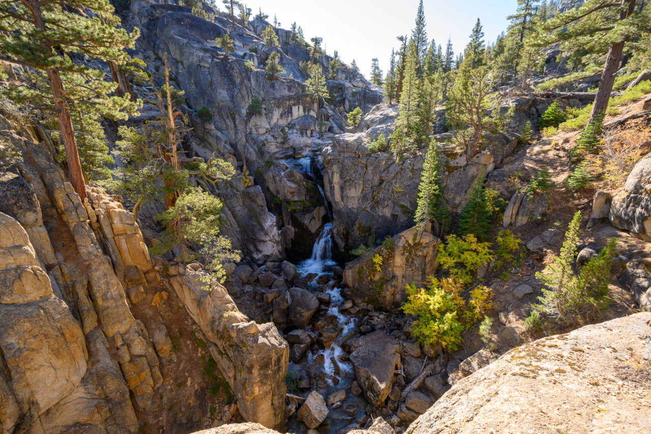
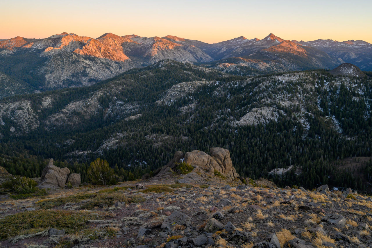
I made a brief detour to Carson Falls, which had a nice overlook just downstream from the main fall. I rejoined the trail on the outskirts of the Falls Meadow and continued down the canyon for a little over a mile before leaving the trail to begin the climb to Peak 8615. After roughly a 1,500 ft climb I arrived at the north side of the peak. From there a short Class 3 climb on good granite led to the summit.
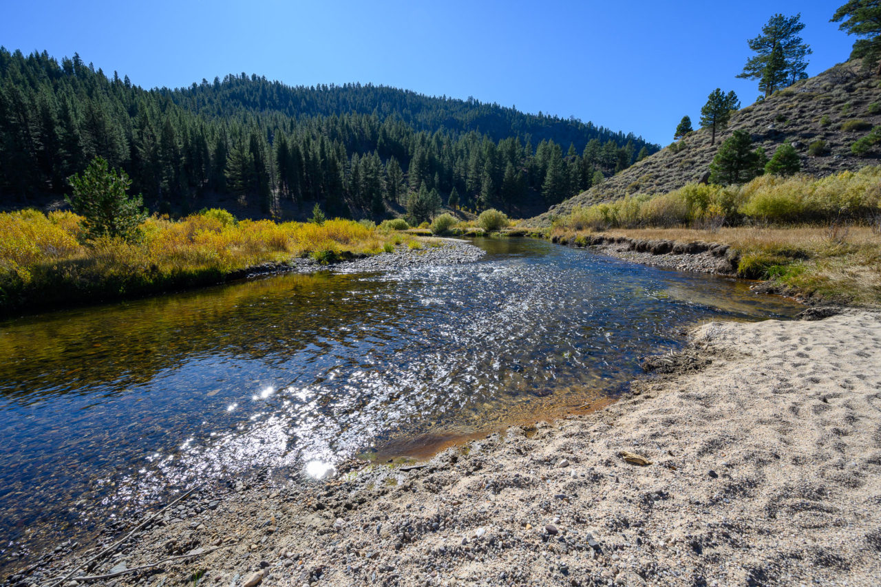
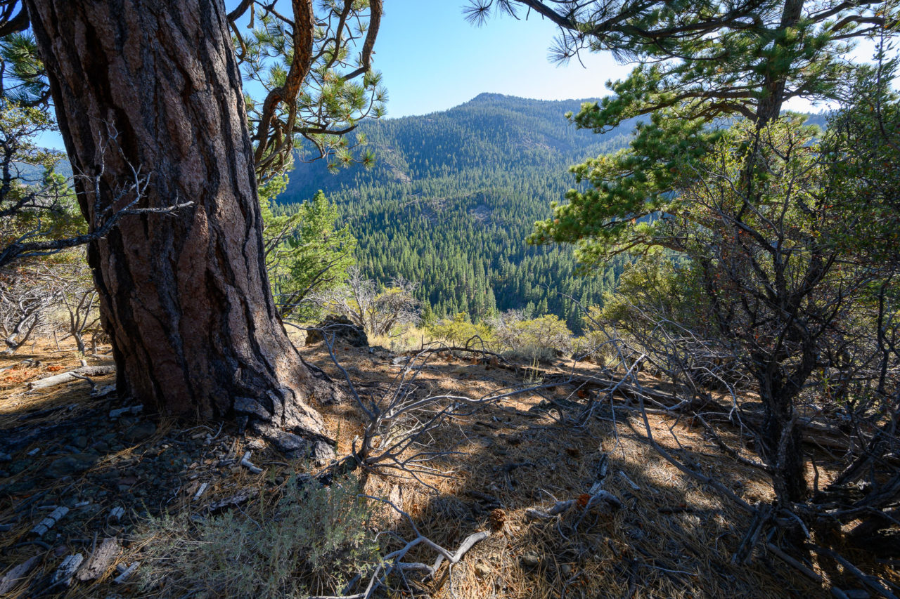
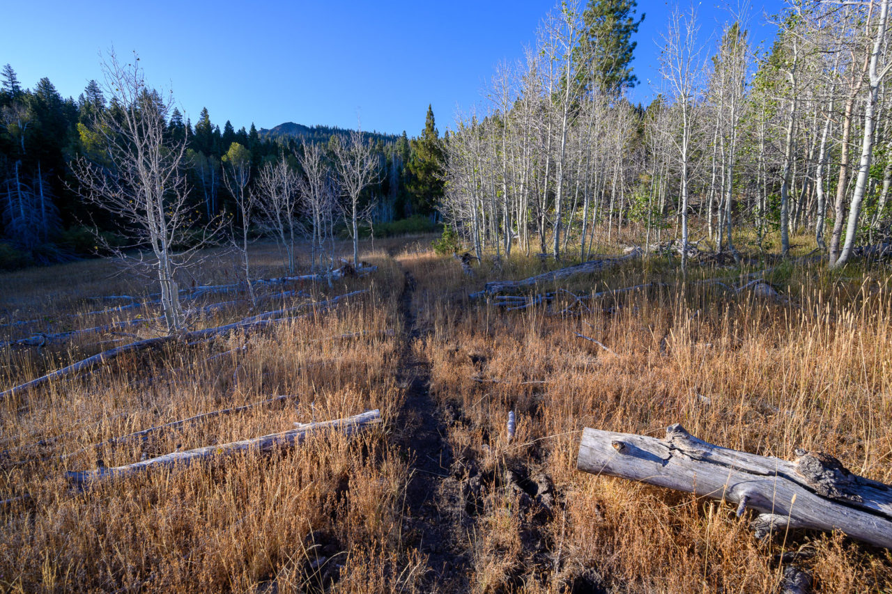
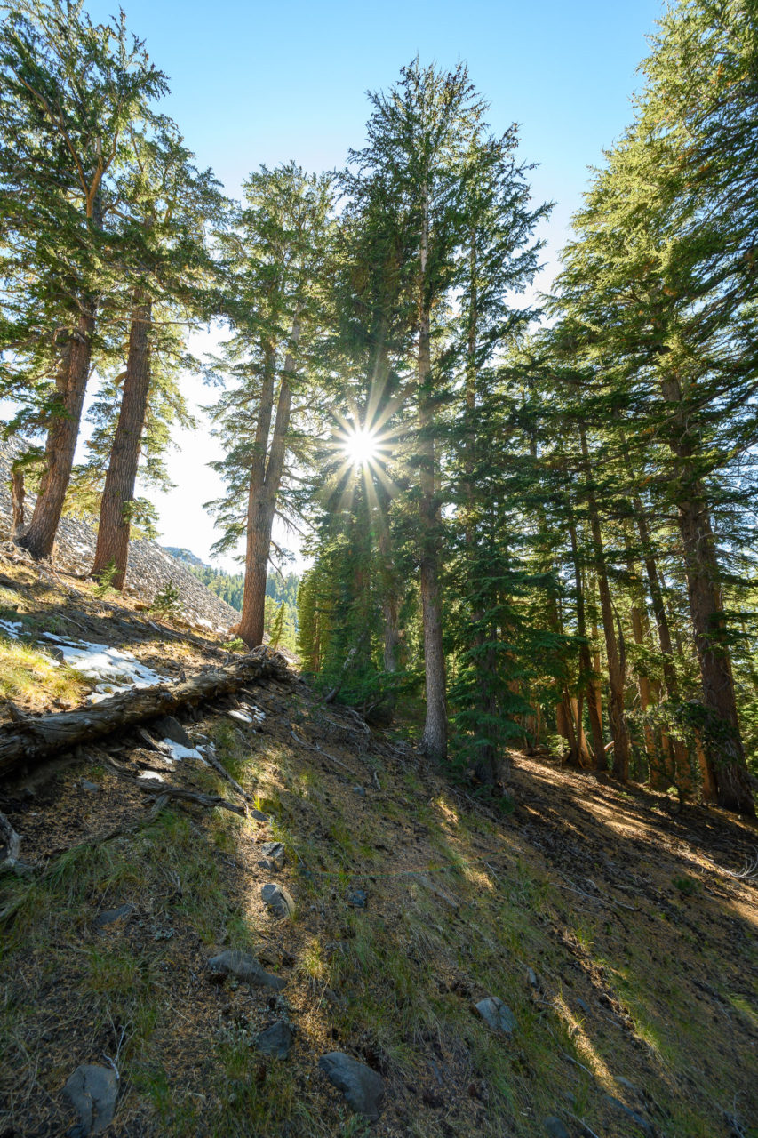
I continued north down an unnamed side canyon with an impressively well used game trail – just as good as the maintained trail down in the valley. Along the way there were nice views into Jones Canyon, with weathered granite exposed on the canyon walls. No trails lead to this area, and I expect it is rarely visited. After descending through some dense forest I rejoined the trail near the river.
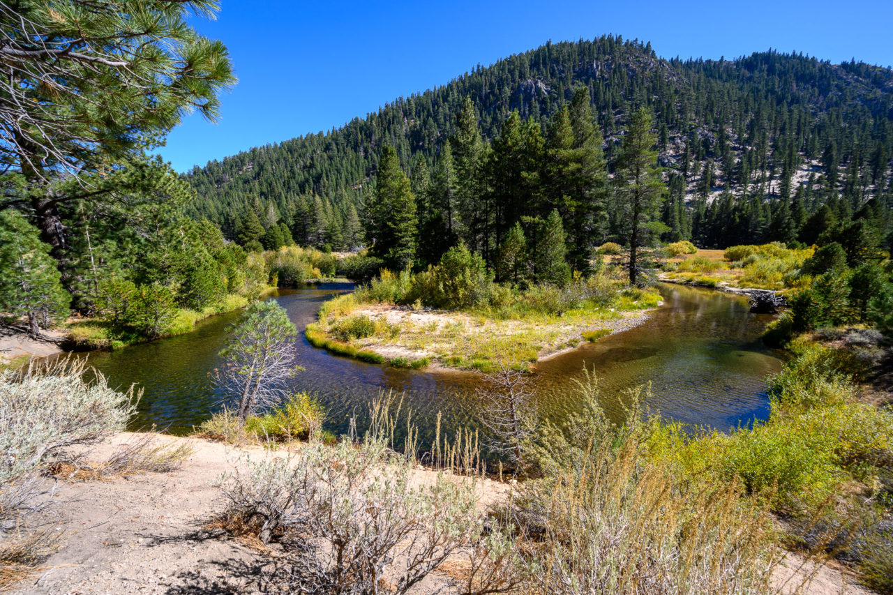
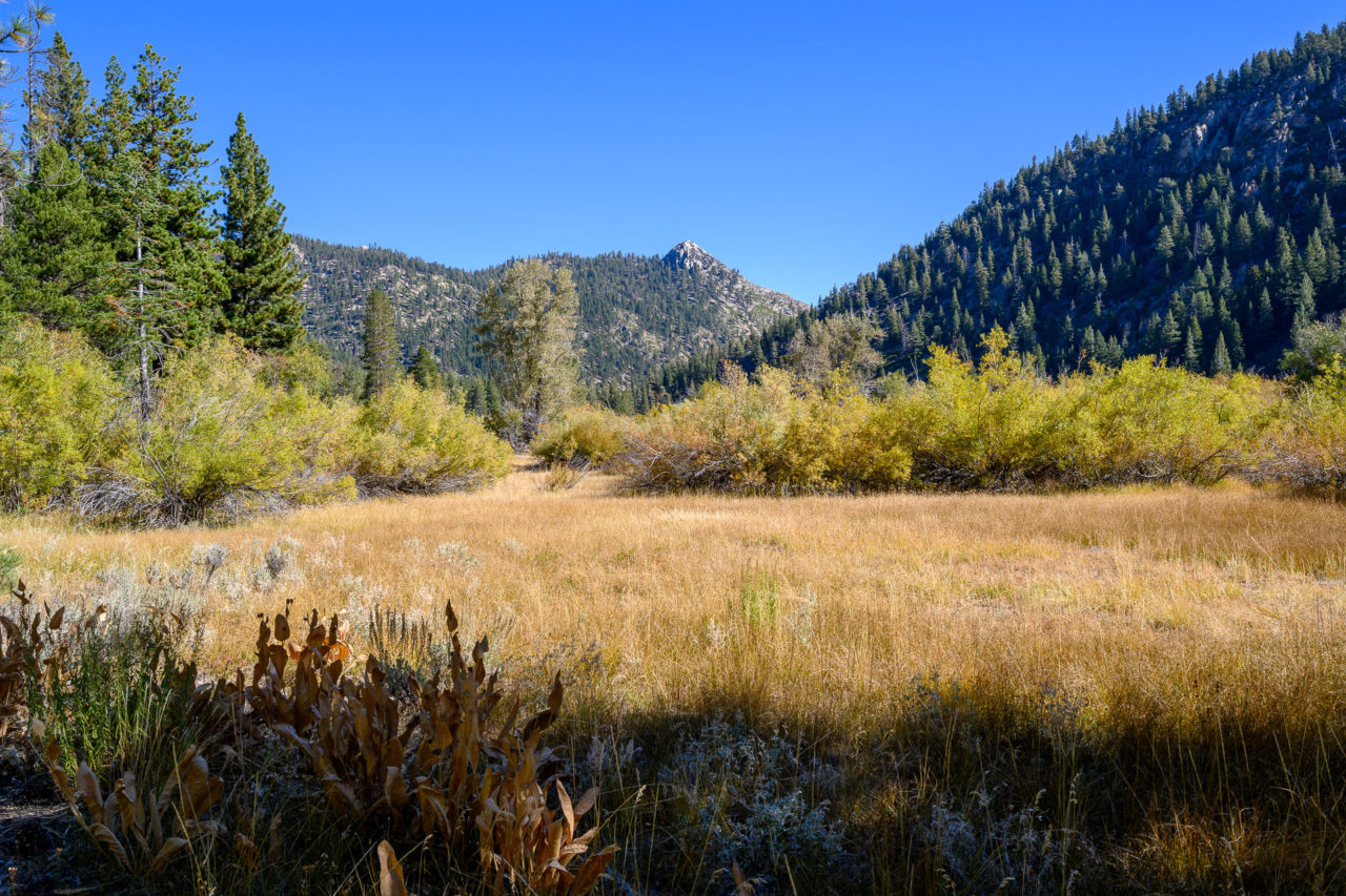
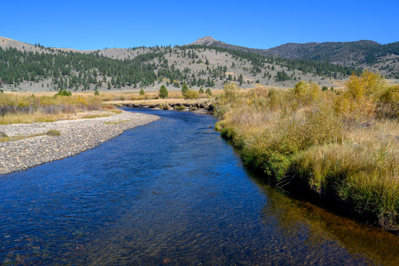
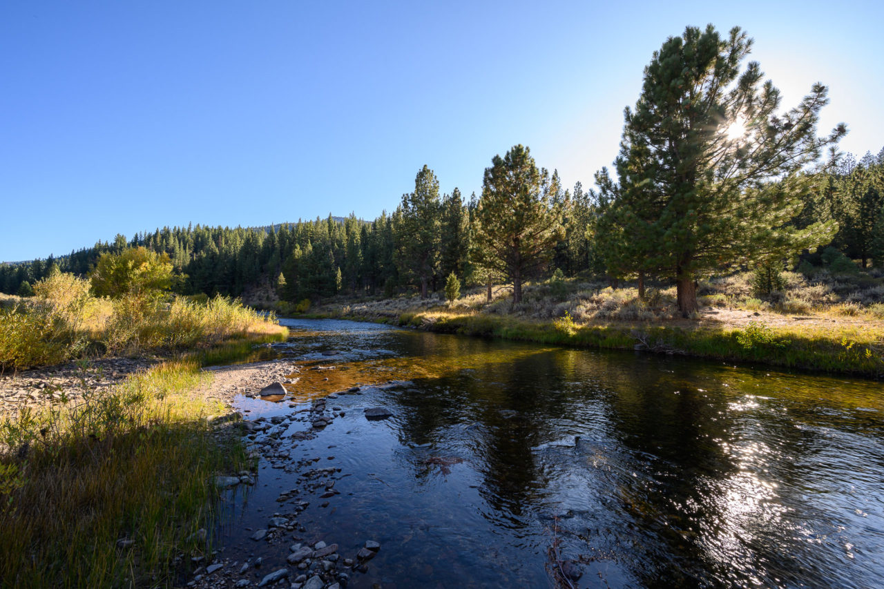
There were two more peaks I wanted to visit on the way back to the car, Peak 6781 and Peak 6760, which both lie on a small volcanic ridge at the north end of Silver King Meadow. I continued down the trail for several miles to the meadow, crossed the East Fork of the Carson River, and climbed the brushy slope leading to Peak 6781. The summit had an exposed volcanic outcrop, but the views were mostly blocked by surrounding trees. From the summit, I continued a mile further north, crossing an even brushier slope leading to the summit of Peak 6760. Again, the views were mostly blocked by surrounding trees. I dropped down the north slope and rejoined the trail near Grays Crossing. After crossing the river for the final time, I followed the trail past Wolf Creek Lake and eventually returned to the trailhead.