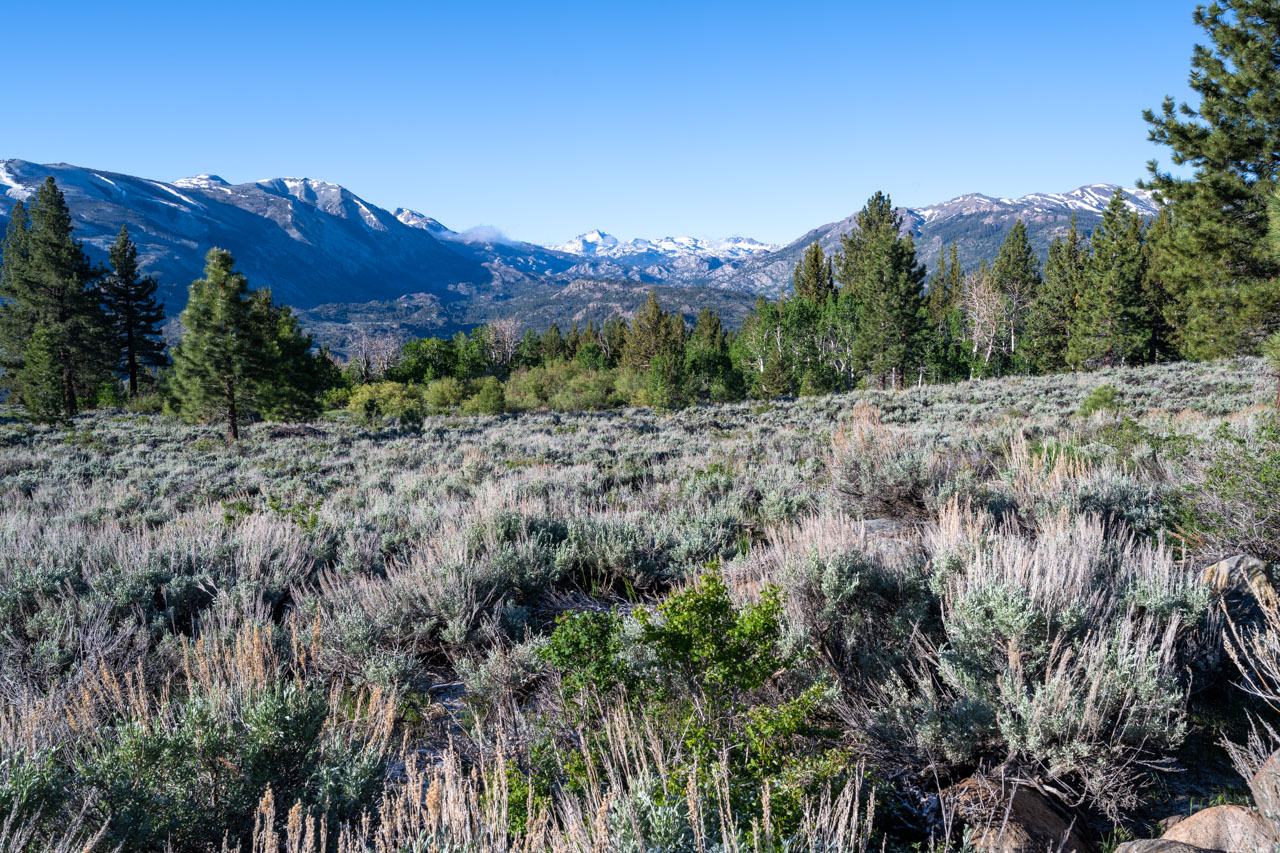
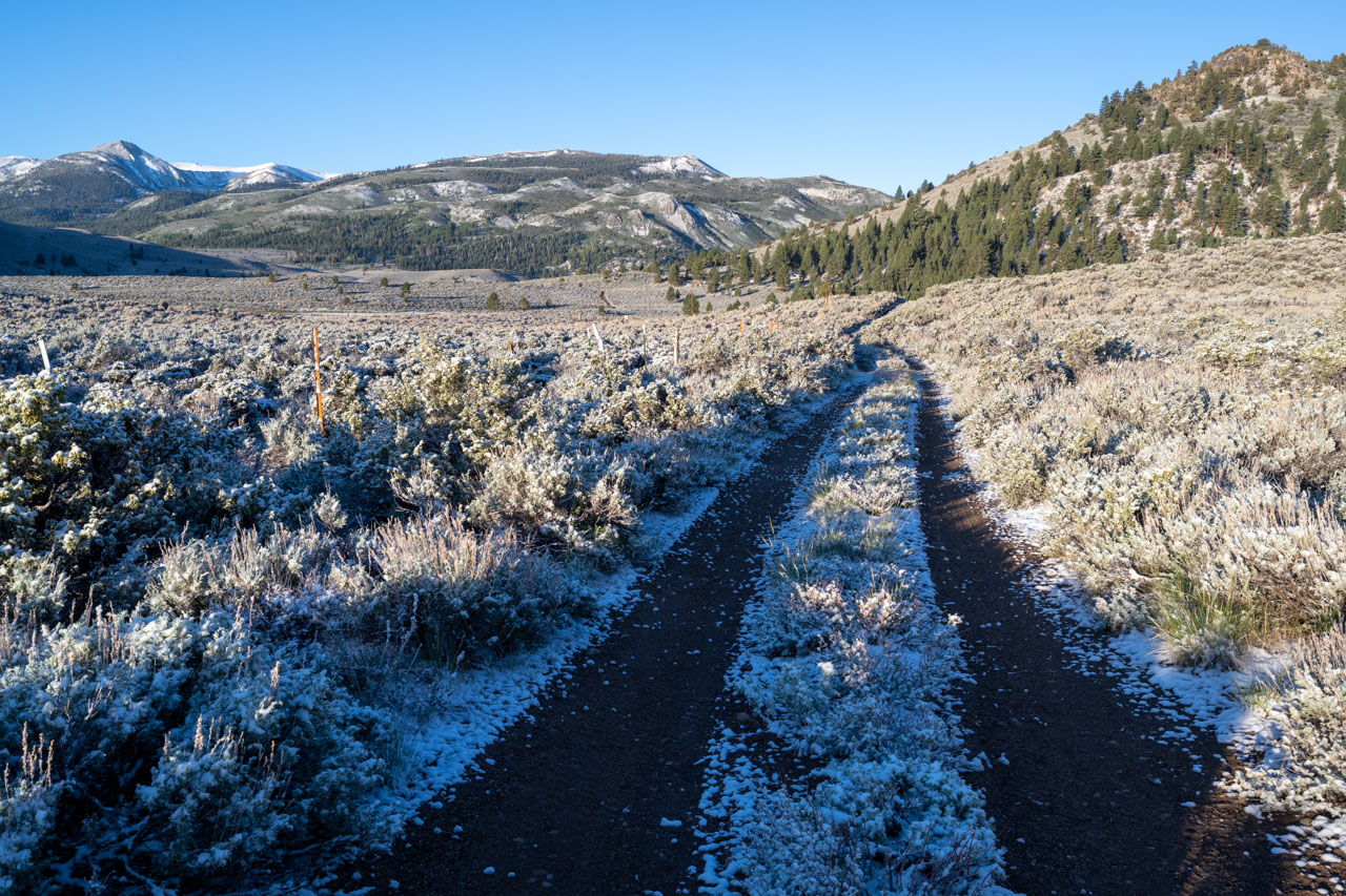
I had spent the previous two days hiking in the White Mountains. For the last day of the trip, I drove north and camped near Leavitt Meadow. Dark clouds had formed over the mountains the previous evening, and when I woke up in the morning, I found a light dusting of snow on the ground and unseasonably cold temperatures (low 20’s). It looked like the snow would melt off quickly after the sun came out, so I decided to continue with my planned loop to Lost Cannon Peak, a P1K in the area that I had yet to visit.
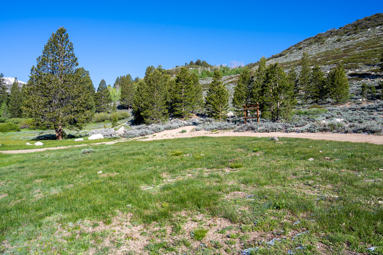
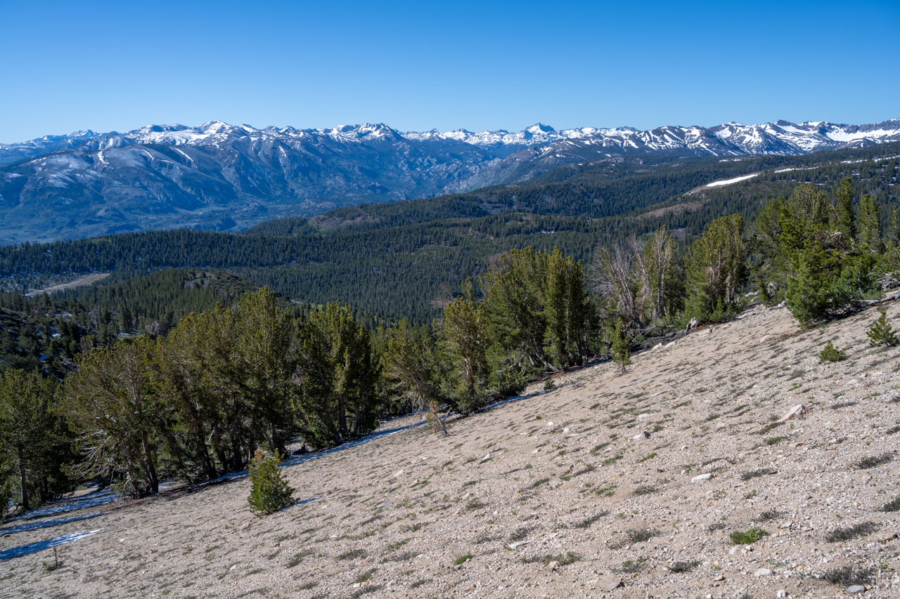
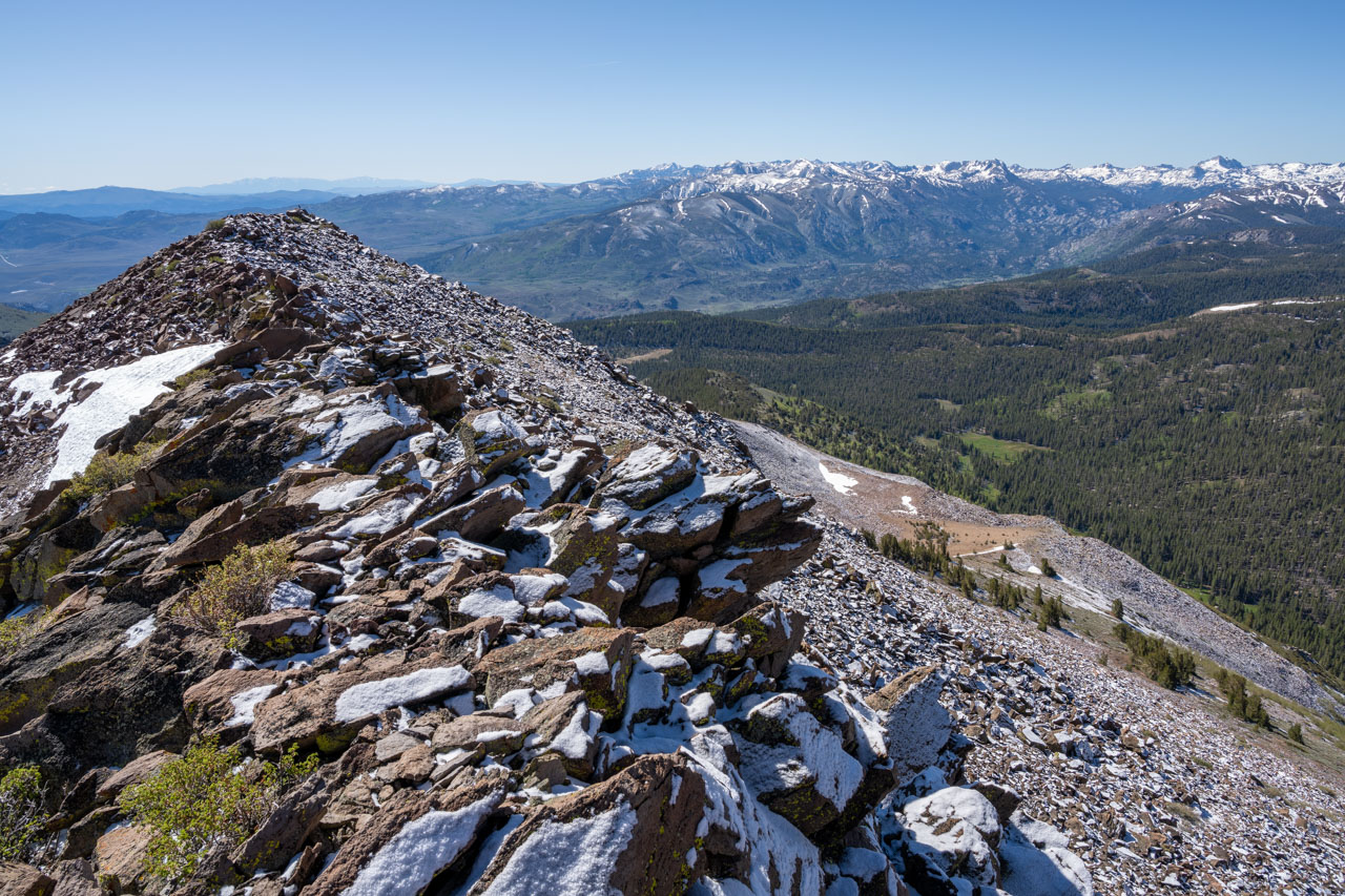
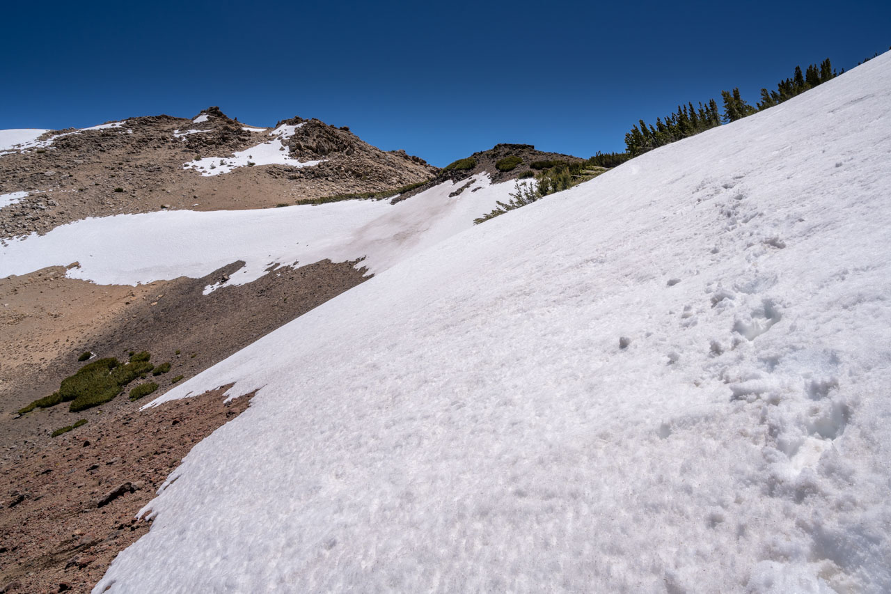
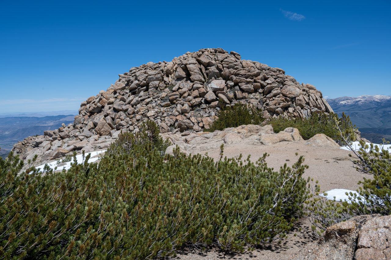
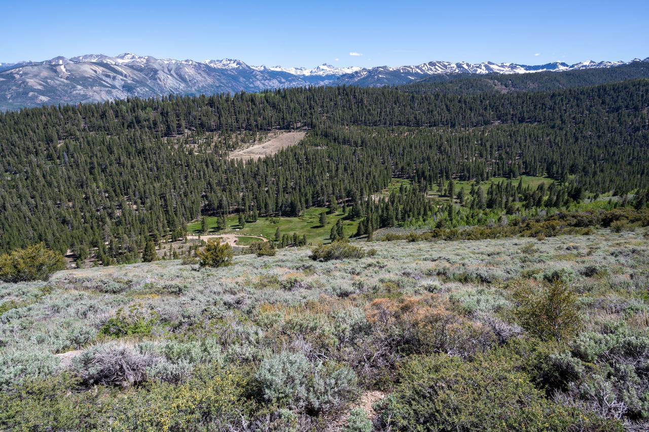
I drove through the Marine Mountain Warfare Training Center and took the nicely graded Forest Service road to Silver Creek Meadows. My plan was to visit Wells Peak and Fish Valley Peak first, which would allow more time for the sun to melt the snow on Lost Cannon Peak. From the trailhead, I started up the ridge in the general direction of Wells Peak. I followed an old trail that wasn’t shown on the map until I reached the cover of trees on the southeast slope. A steady climb of roughly 2,000ft led to the rocky summit of Wells Peak. The wind started to pick up at the summit, so I didn’t wait long before continuing on to Fish Valley Peak.
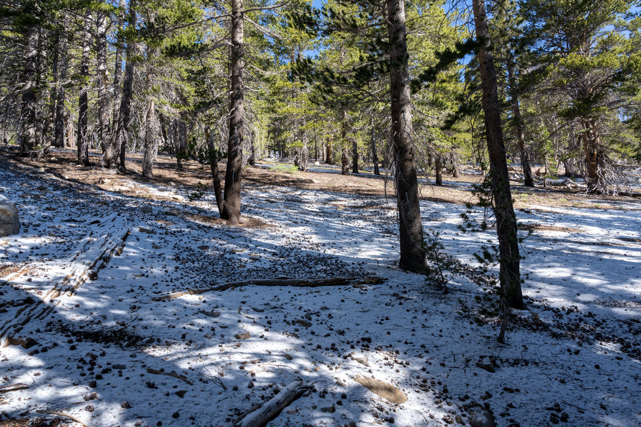
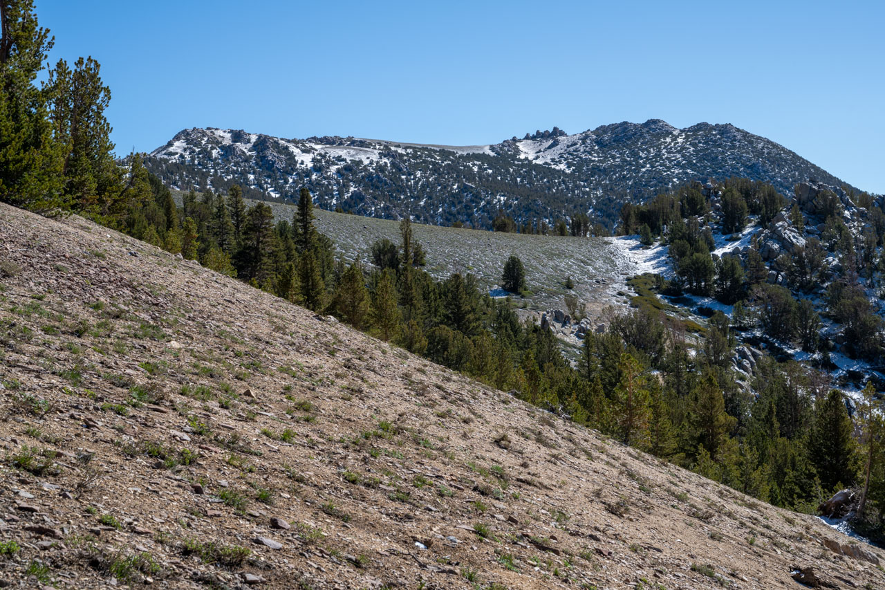
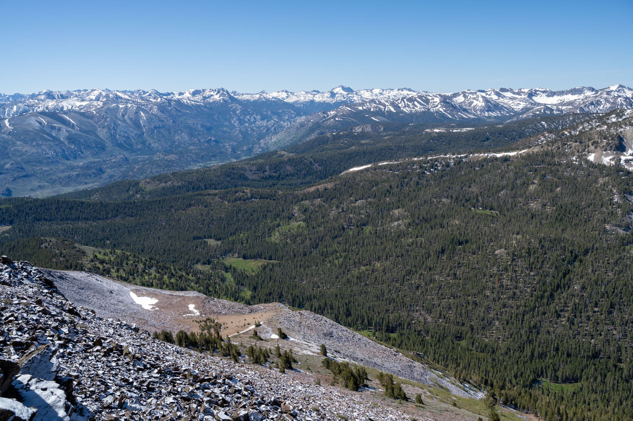
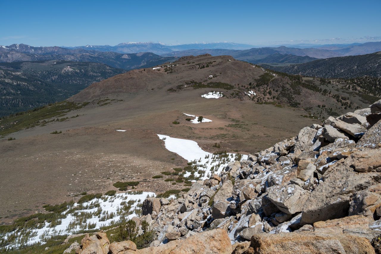
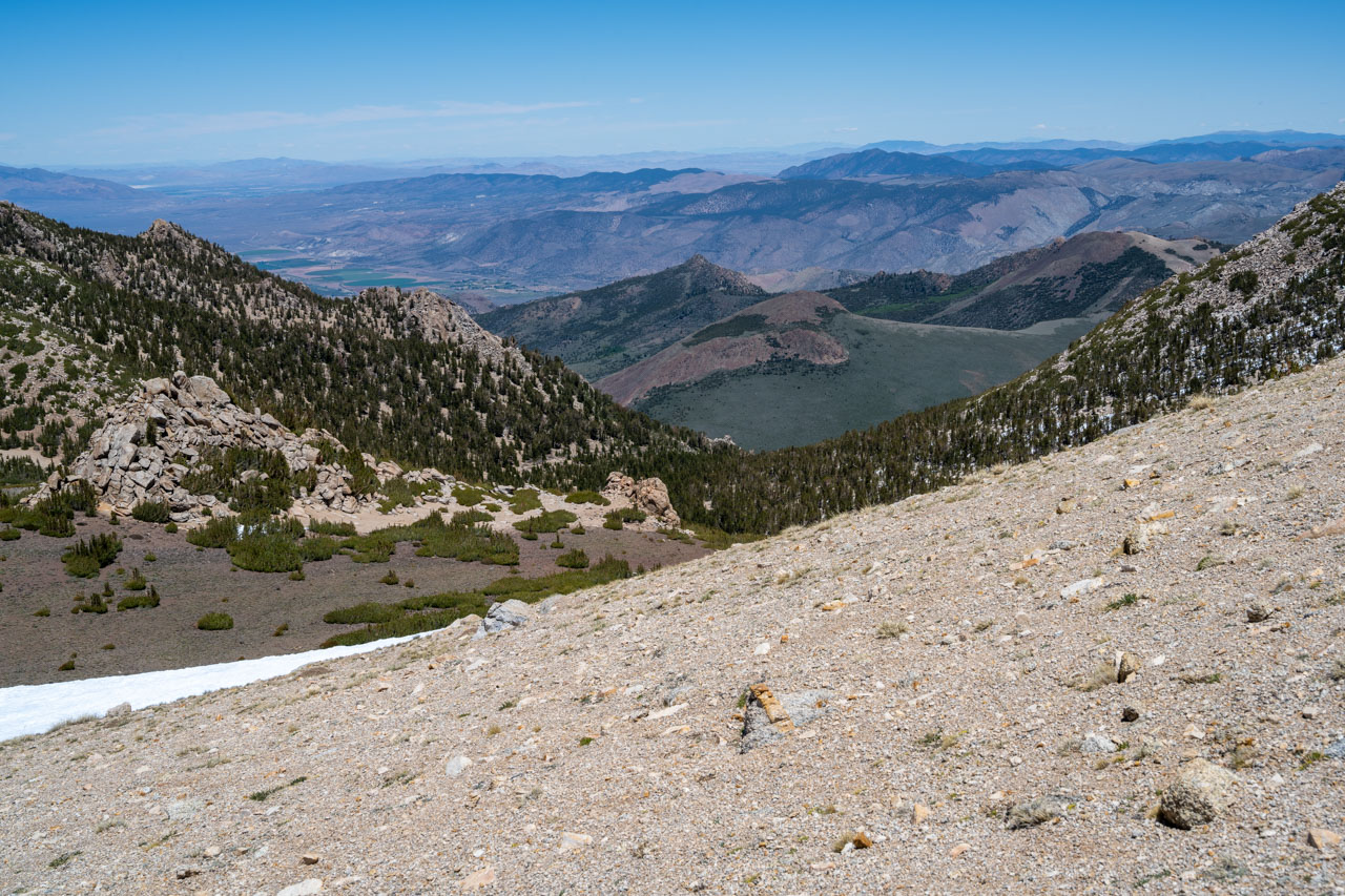
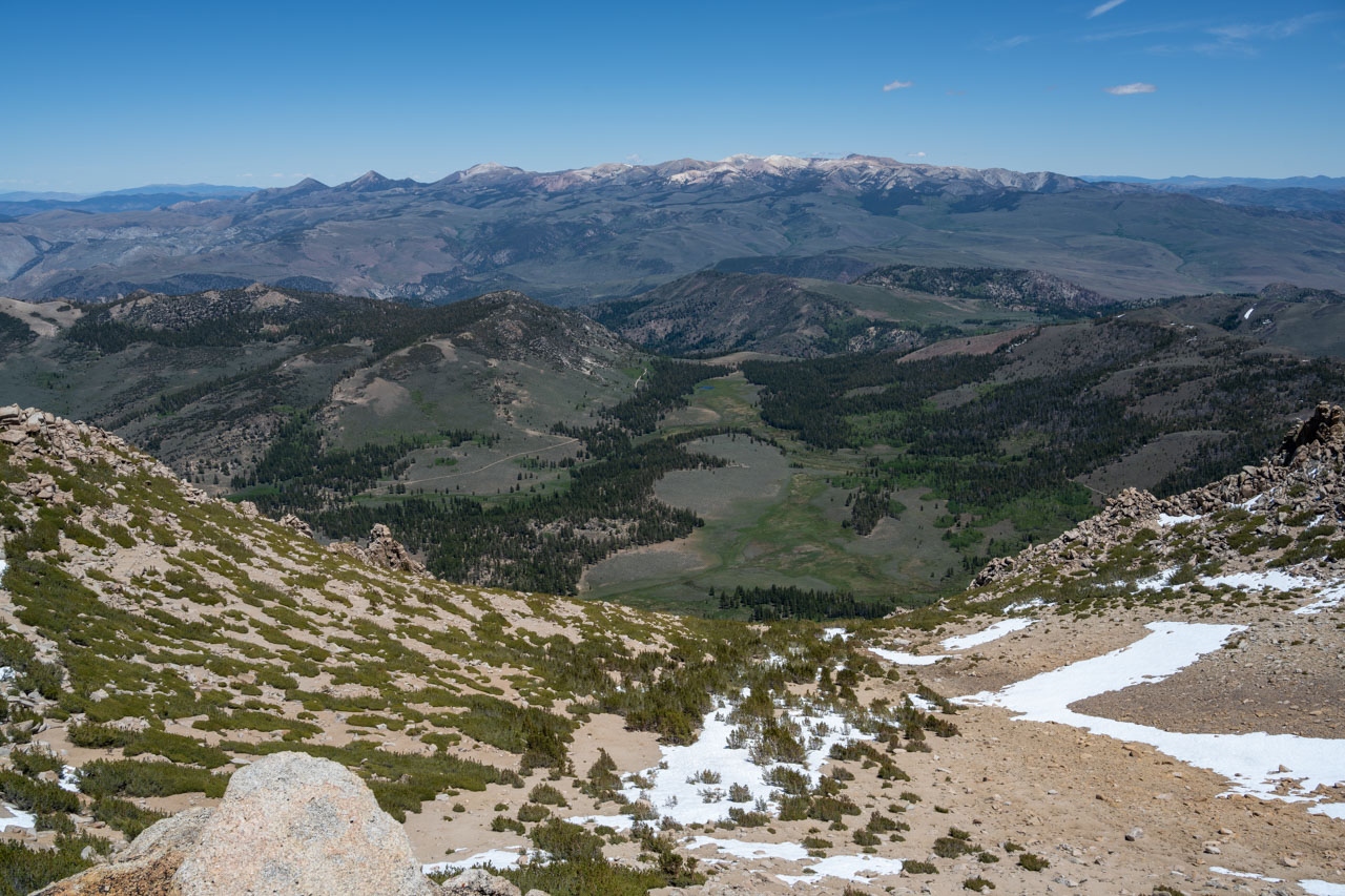
The snow was already starting to melt as I made my way toward Fish Valley Peak. Along the way, I crossed over the summit of Peak 10973, then descended the ridge before making the final short climb up to the summit of Fish Valley Peak. There were nice views from the summit, including Whitecliff Peak and Upper Fish Valley. I found an old smashed glass container at the summit, which likely used to hold the summit register.
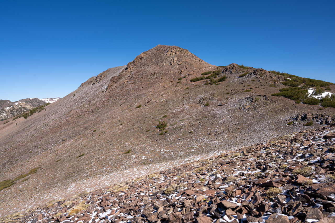
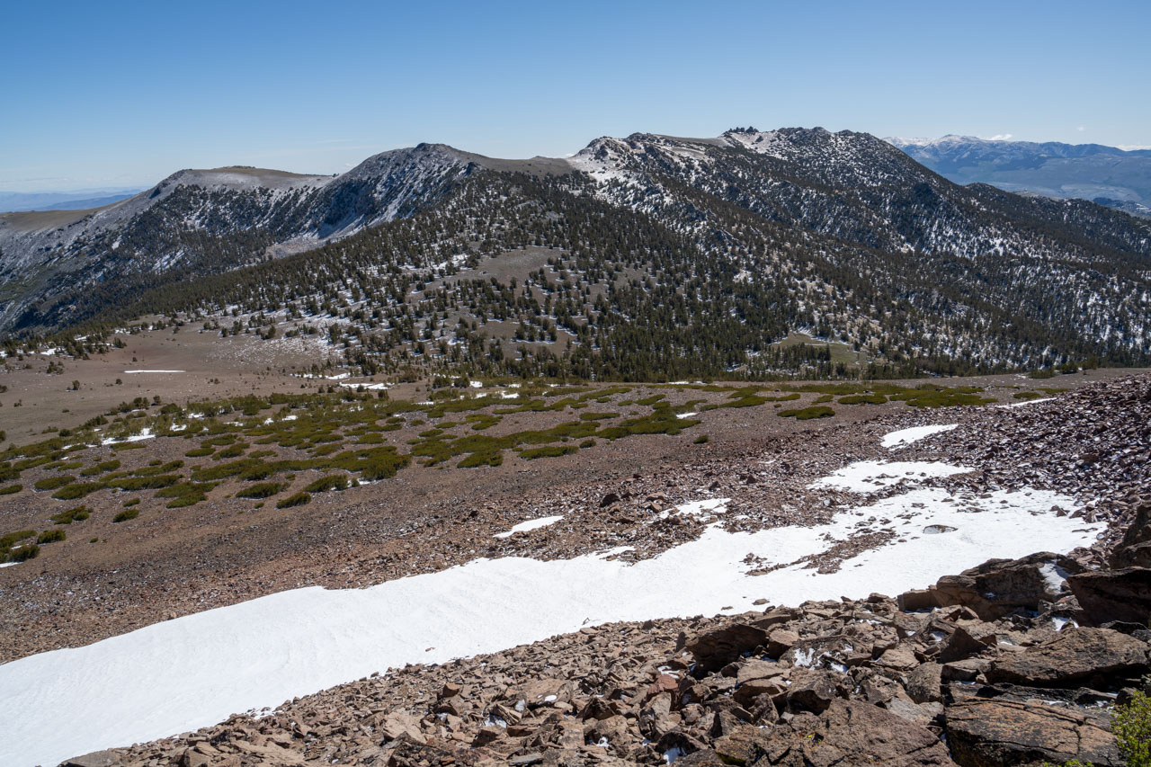
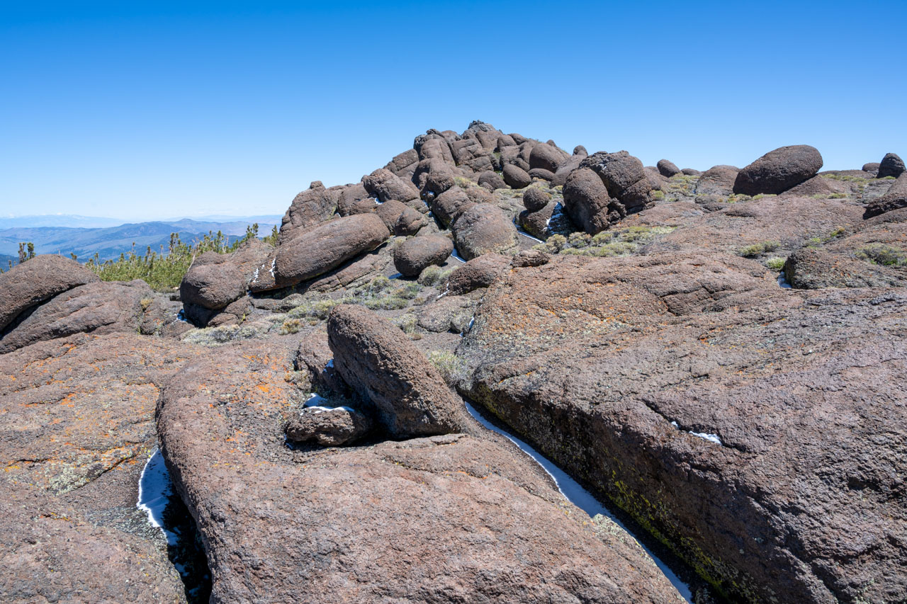
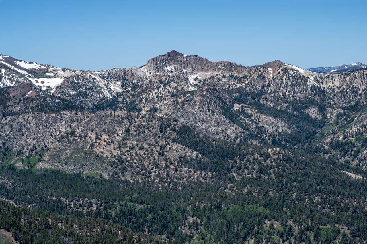
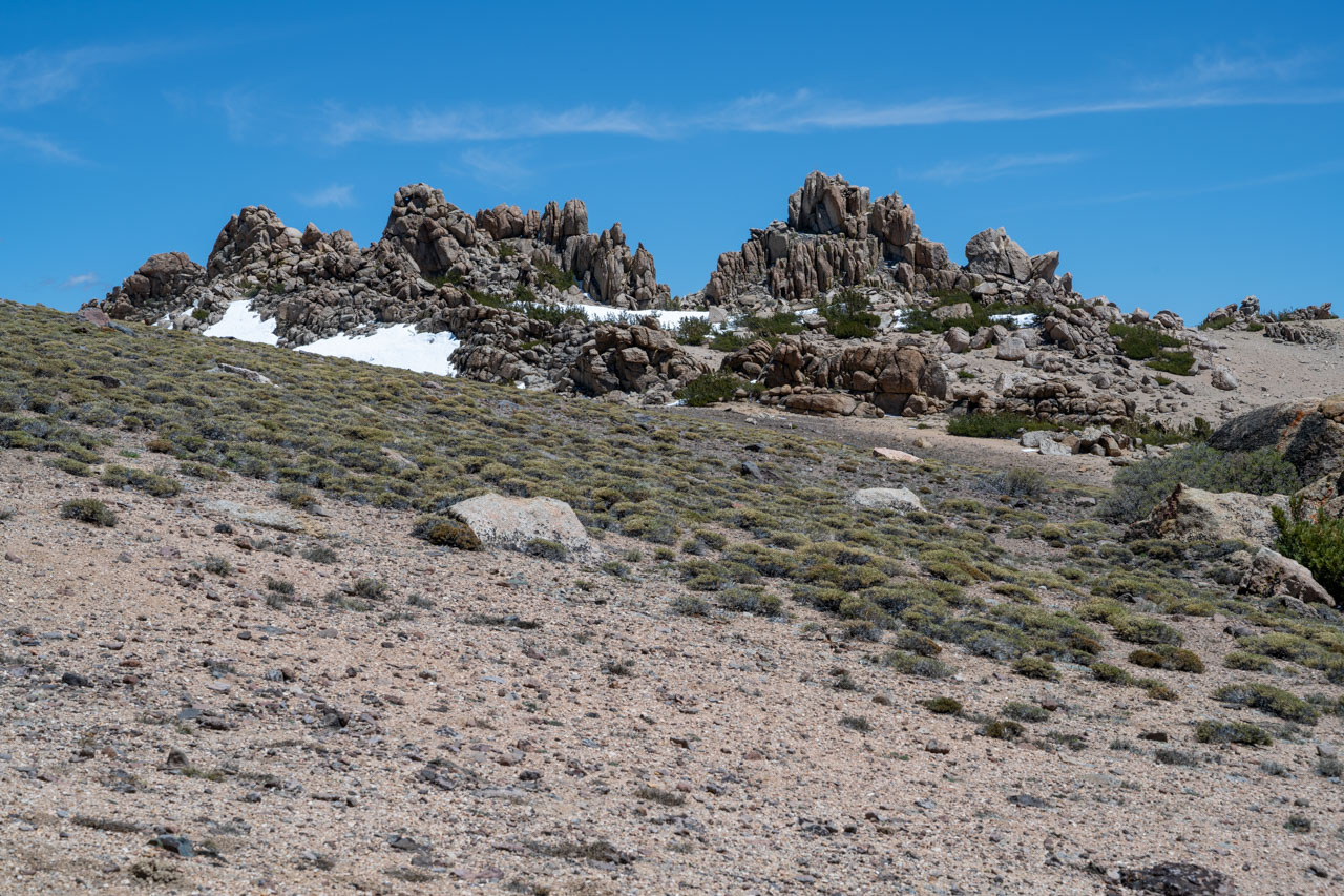
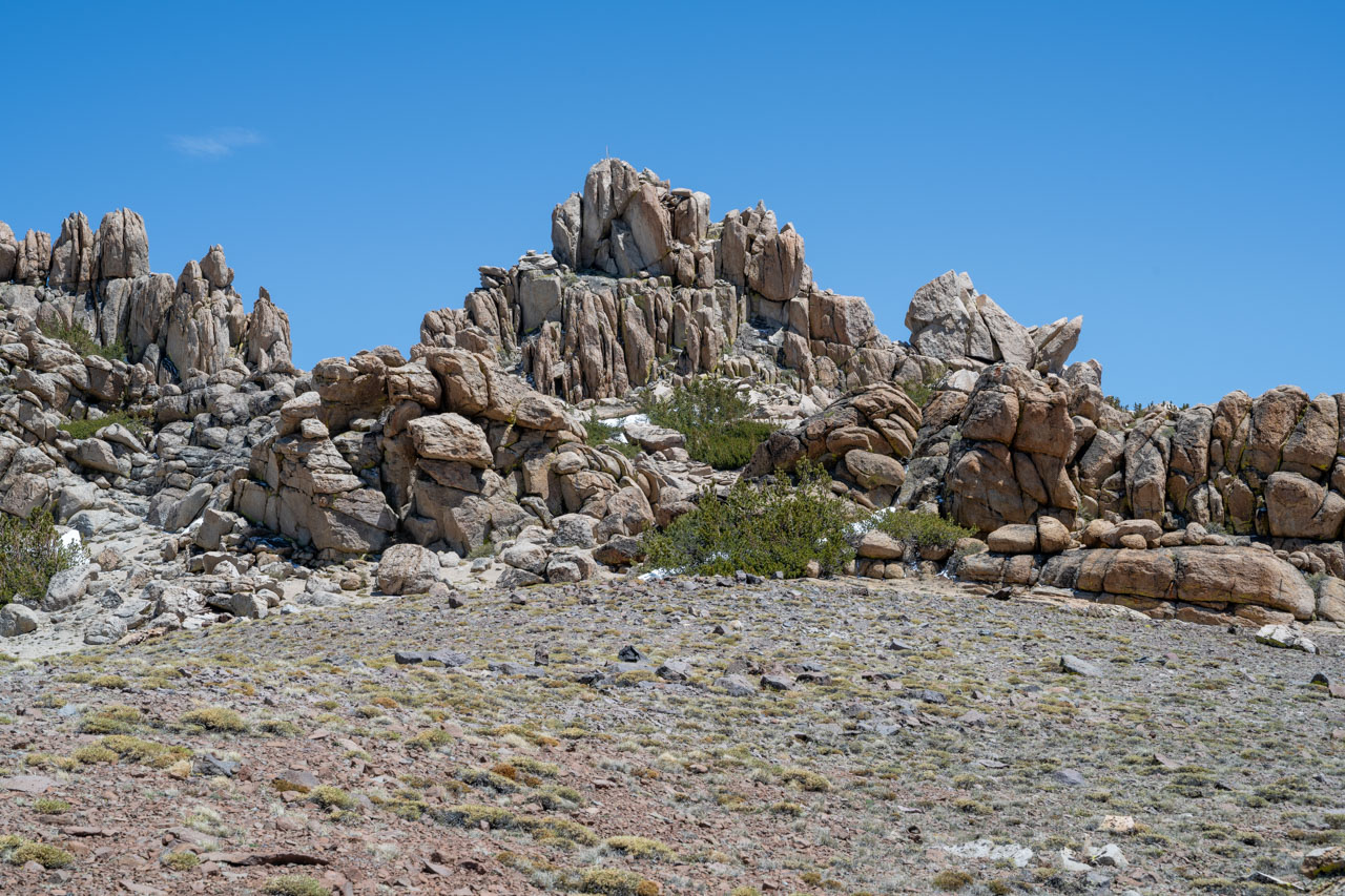
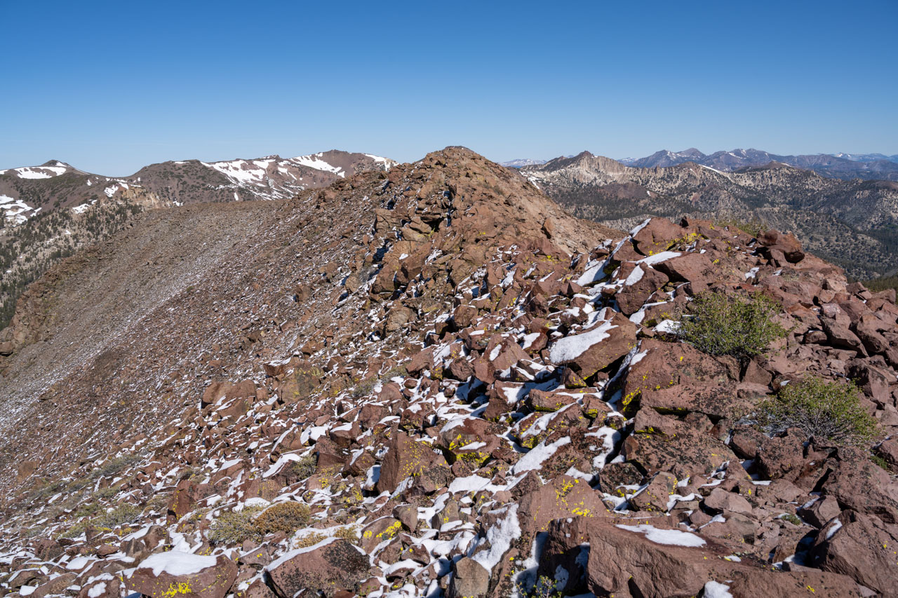
On the way back, I stayed below Peak 10973 on the west side, crossing a snowbank in the bowl below Lost Cannon Peak. Before heading over to the main summit, I stopped briefly to climb the lower north summit. A short scramble led to the summit, which had a nice view of Summit Meadow to the east. Afterward, I made my way over to Lost Cannon Peak. I had read that this was supposed to have some of the best Class 3 in the area, so I had been looking forward to this as a nice way to finish up the long weekend. I was glad to see that the snow had almost entirely melted out, which would make the climbing more secure.
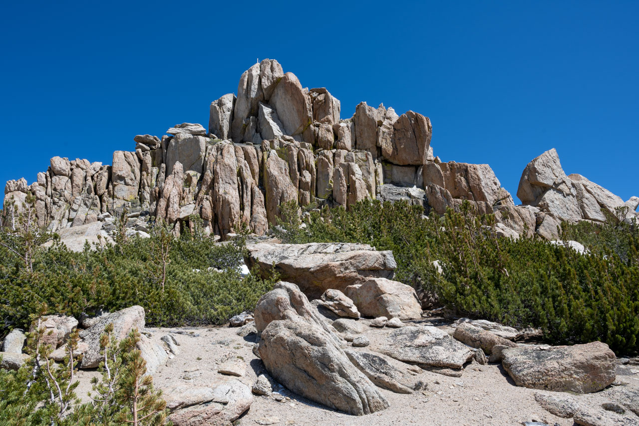
Bob Burd had provided a good route description for the peak. Starting on the west side of the peak, I climbed up to a small notch south of the highpoint. At the notch, I dropped down roughly 15ft on the east side of the peak, which led to an obvious ledge below the summit. From there, a short bit of stemming led up to the summit. There is a significant drop on the east side of the peak, but with the ledge providing protection, it all felt pretty secure. I had left my camera with my pack at the base of the peak, so unfortunately I didn’t get any pictures of this section. I would definitely agree that this is one of the best Class 3 routes in the area.
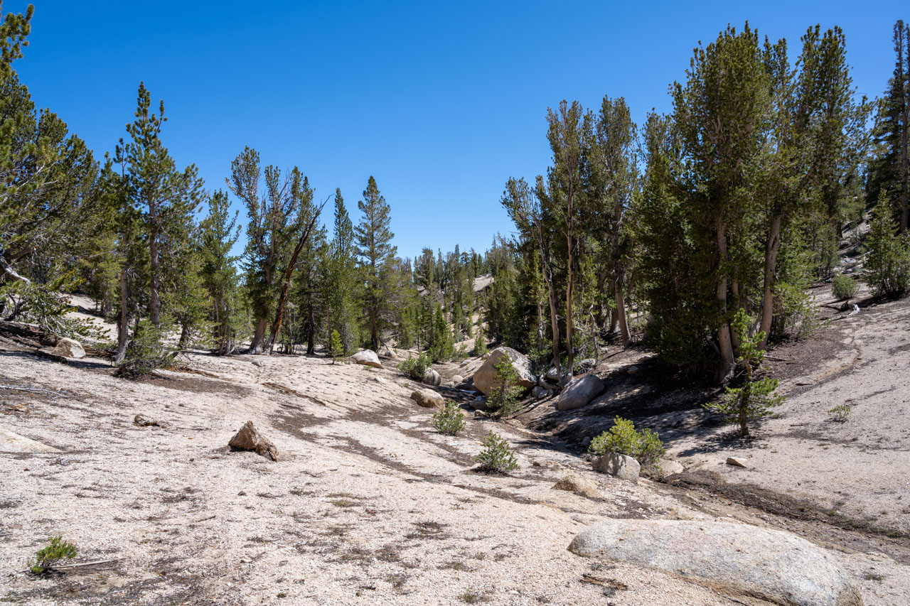
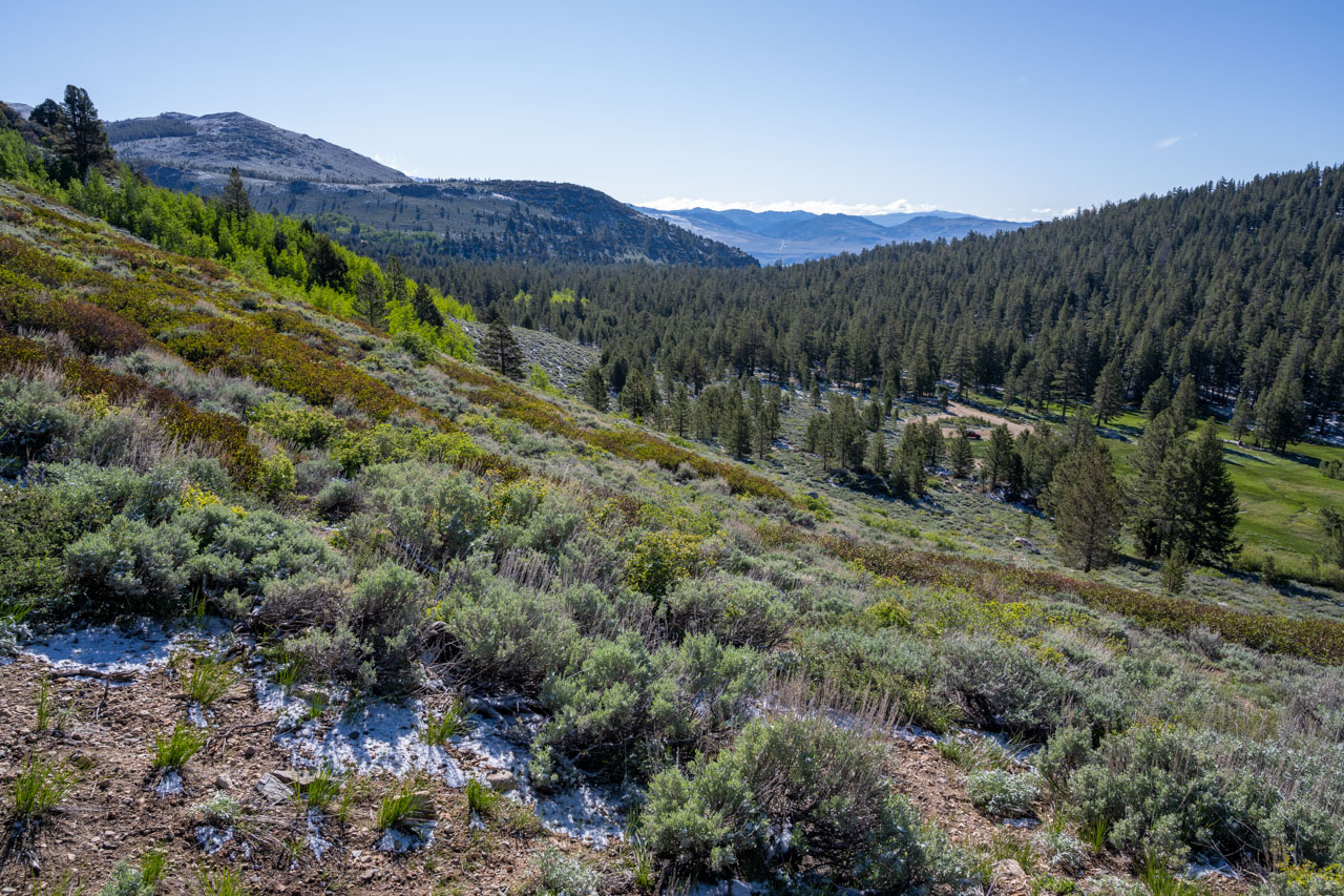
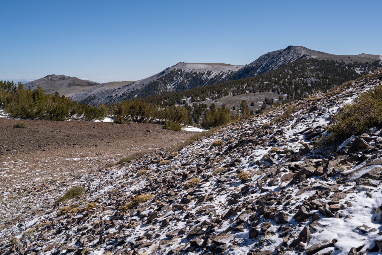
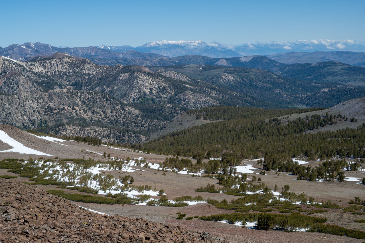
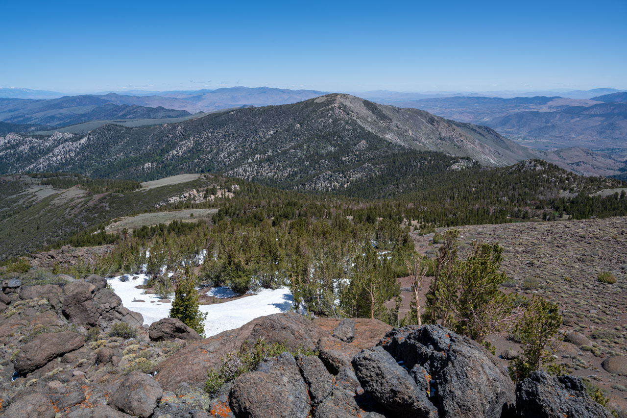
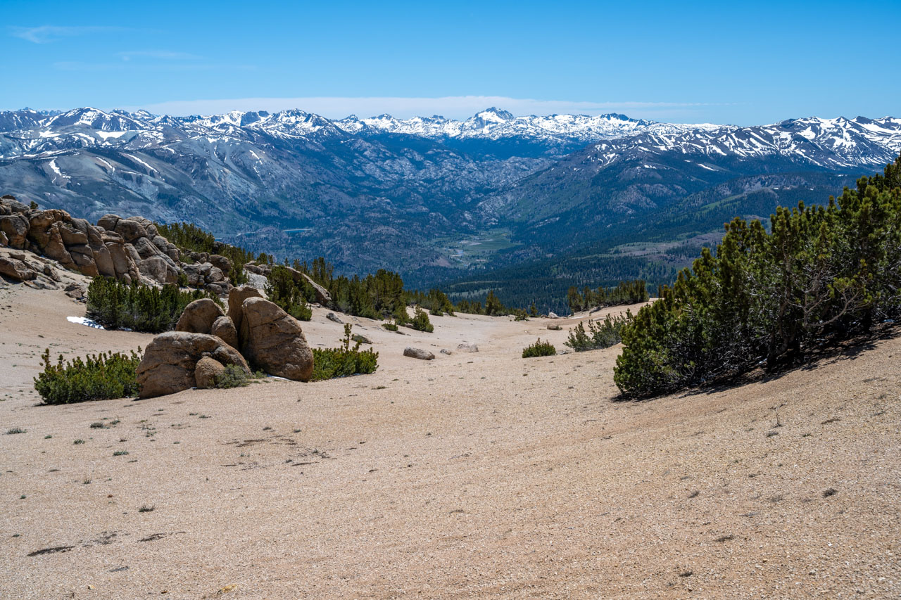
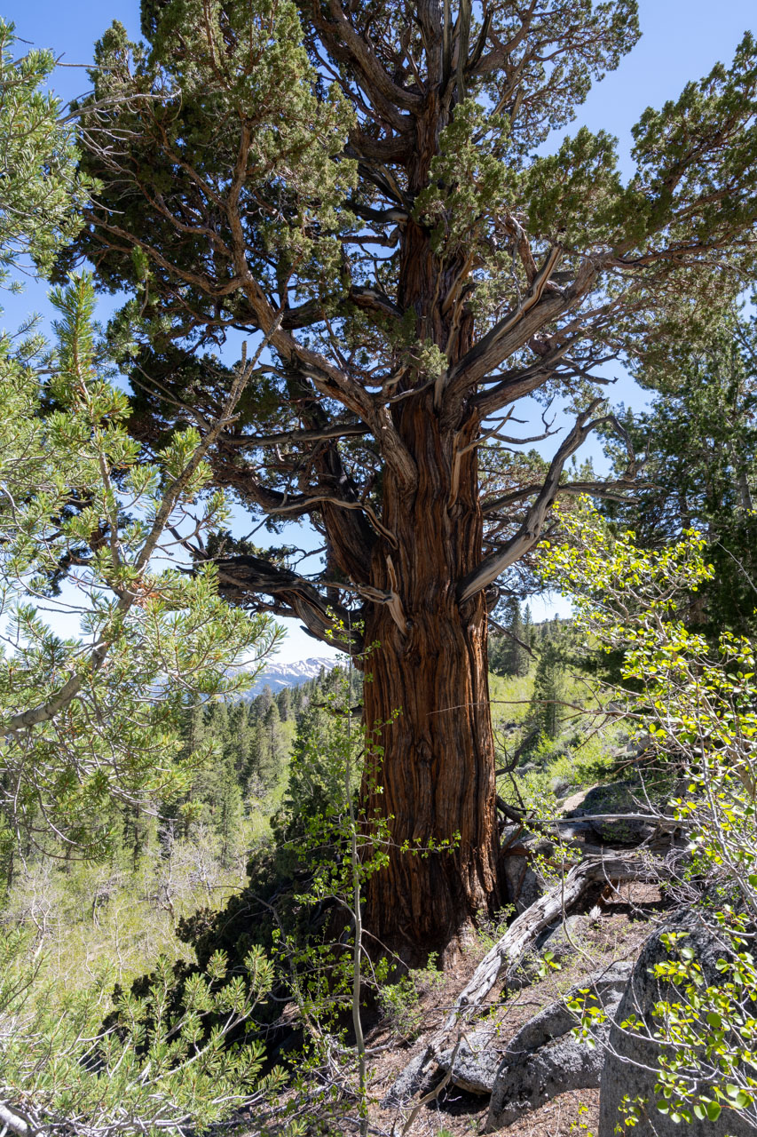
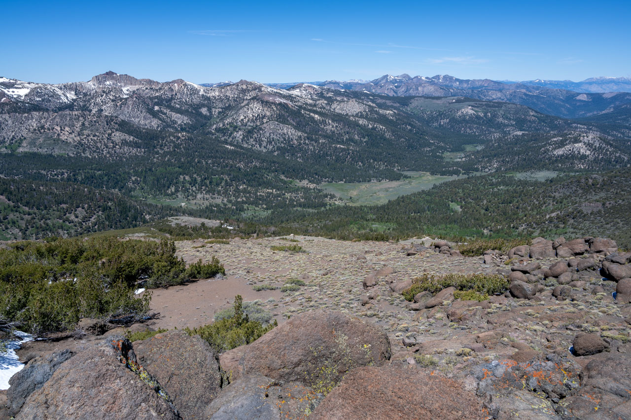
To complete the loop, I started down a pleasant sandy slope on the south side of the peak. I crossed over a shallow saddle that dropped into the next drainage, then traversed across a slope of aspens before reaching the slope directly above Silver Creek Meadows. Along the way, I passed one of the largest junipers that I have ever seen, easily over 20ft in diameter at the base. A final bushy descent led back to my car, where I arrived by mid-afternoon.