13.2 Miles, 3800 Gain
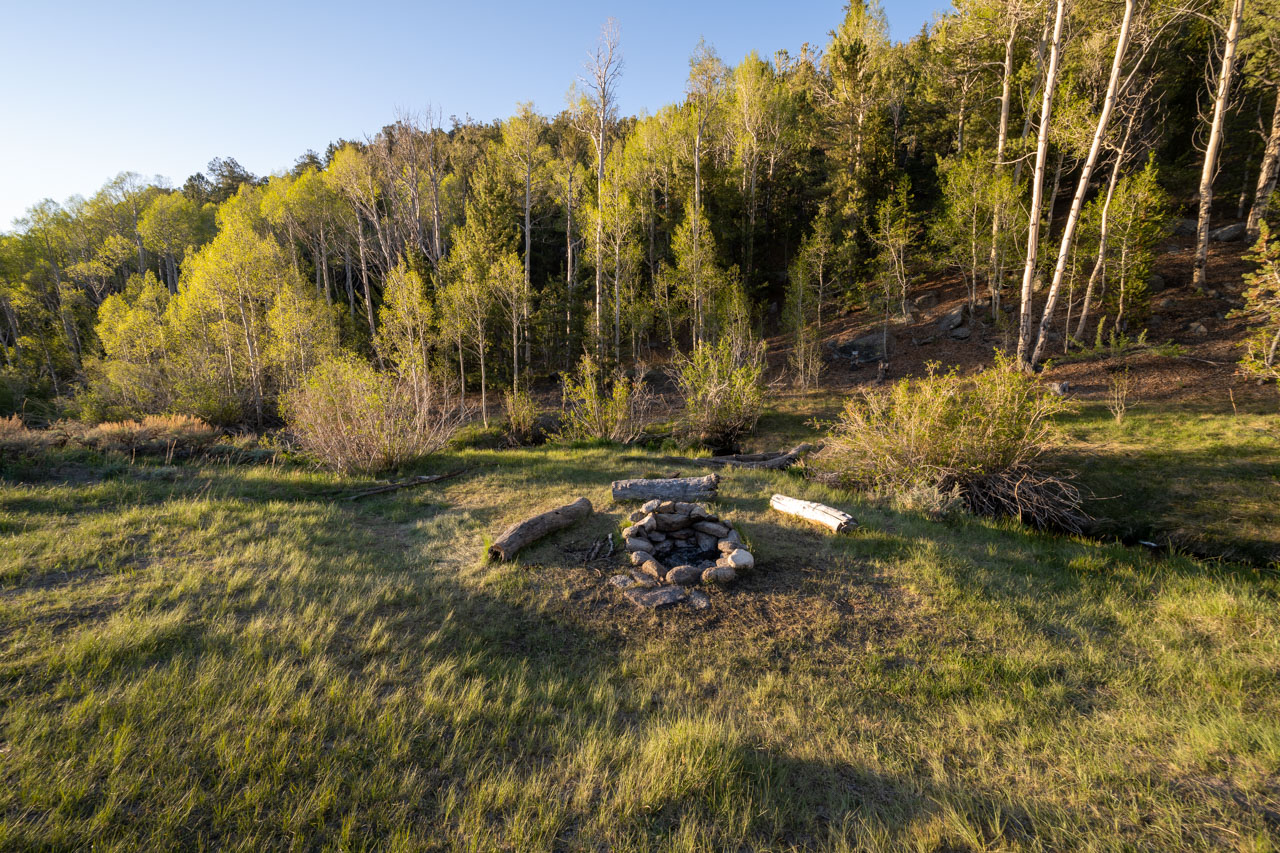
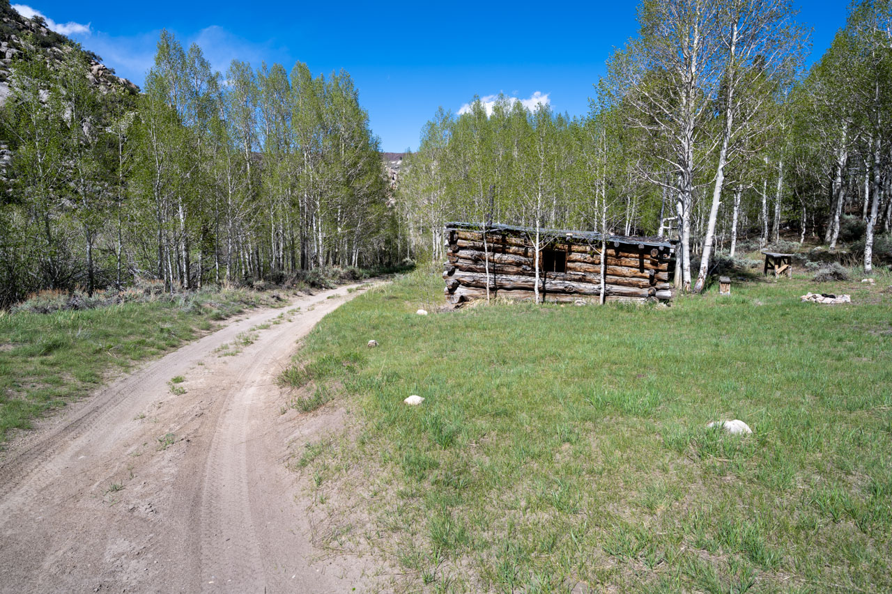
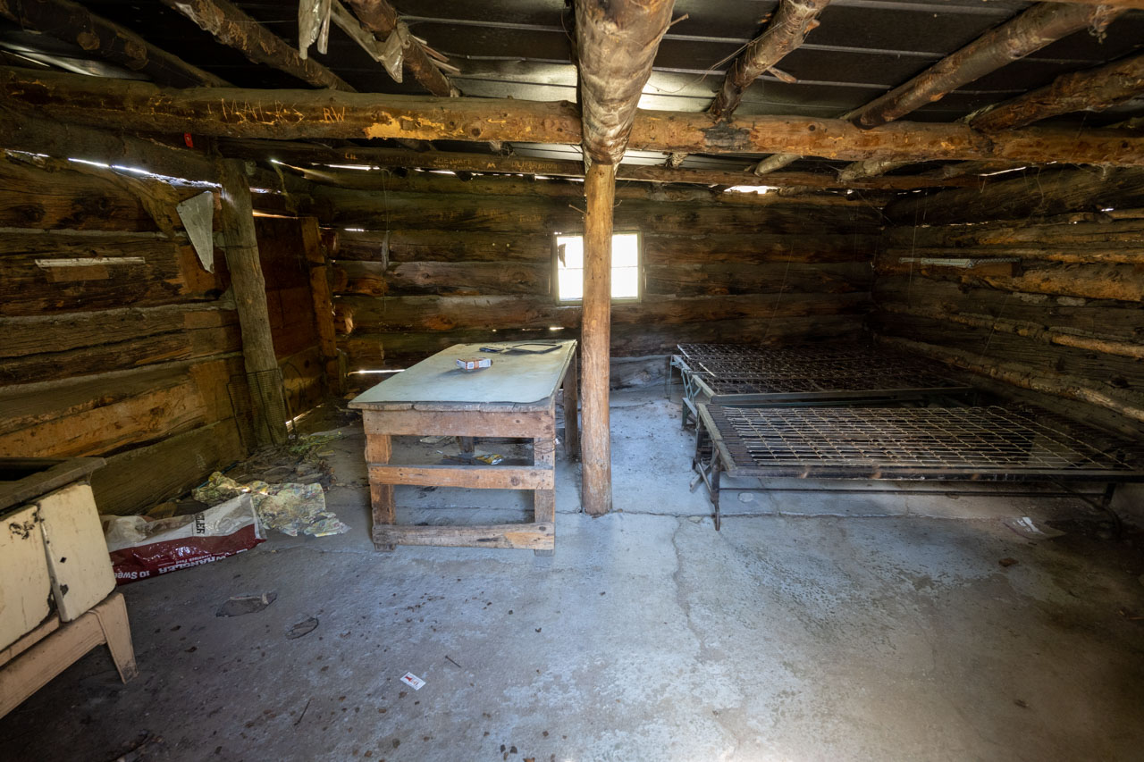
I had previously visited Cottonwood Basin back in September 2015. On that trip, I had started from the Patriarch Grove with a 2WD vehicle and descended cross country down the ridge to check out two unnamed peaks in the center of the basin. At the time I remember that being one of my favorite trips that I went on that year, so I had been looking forward to returning to check out more of the area. This time I was back with a 4WD vehicle, and after finishing a hike along Cottonwood Creek the previous day, I had driven the road past McCloud Camp and found a nice campsite near Cottonwood Creek.
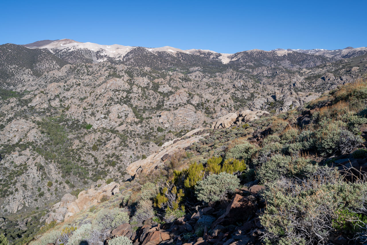
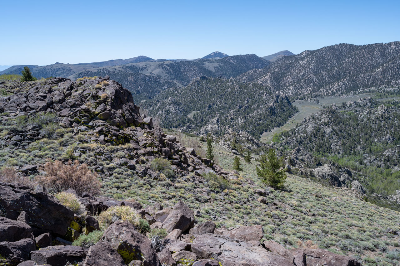
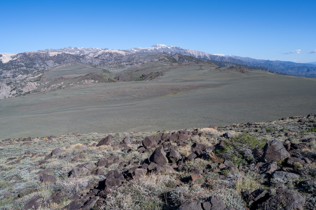
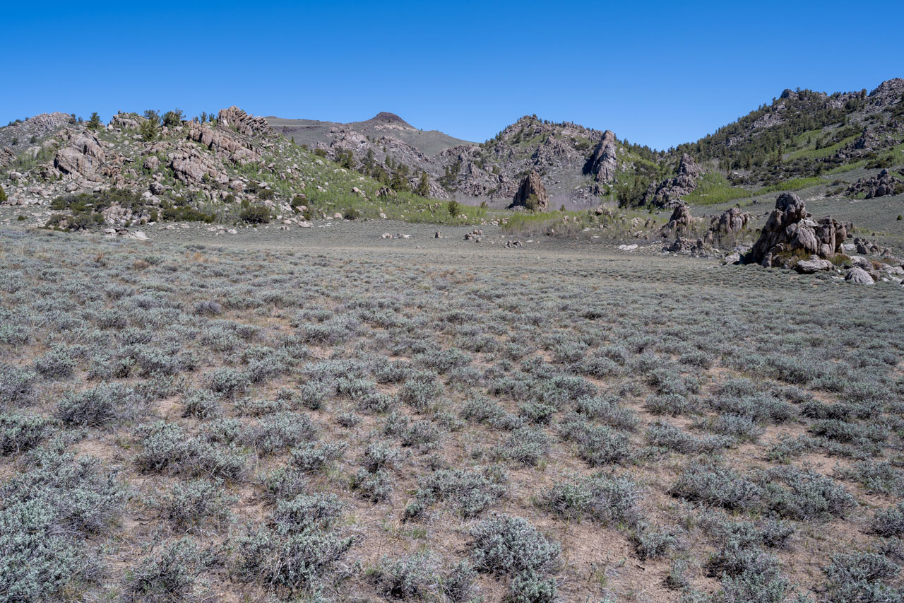
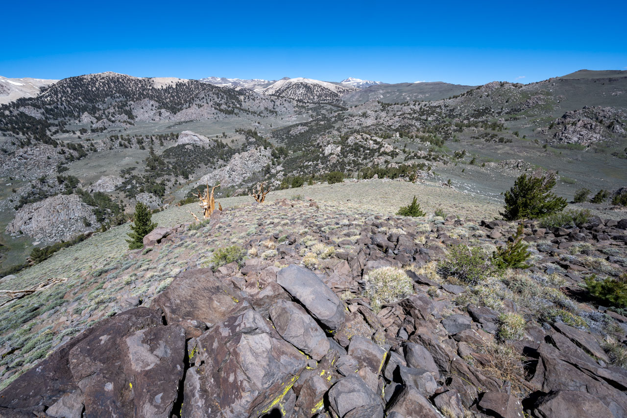
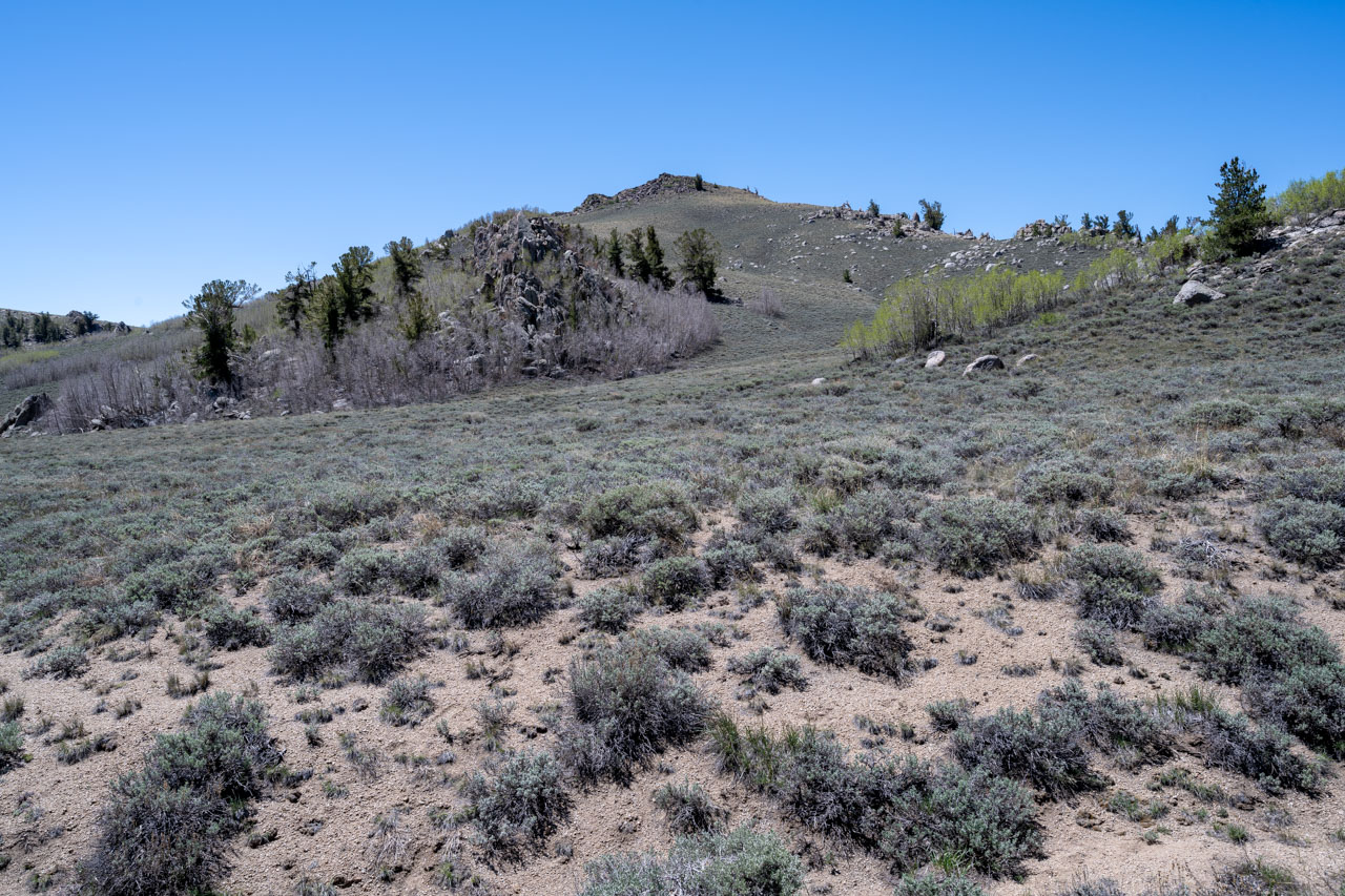
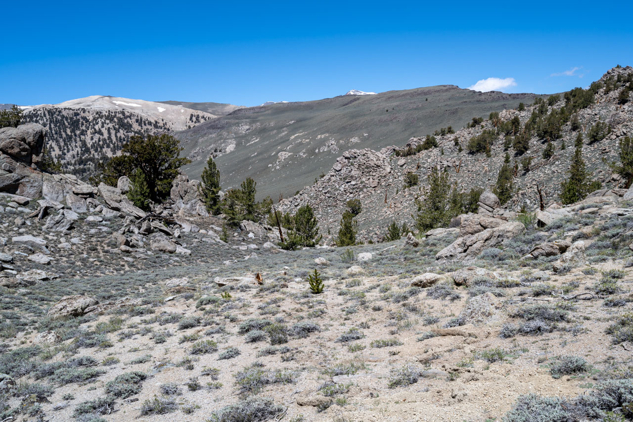
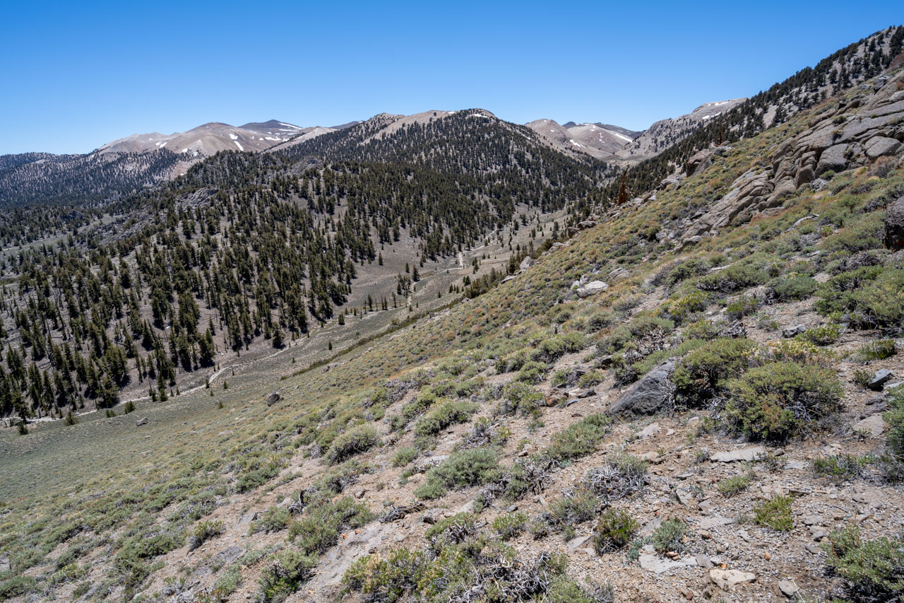
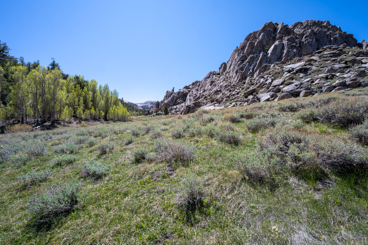
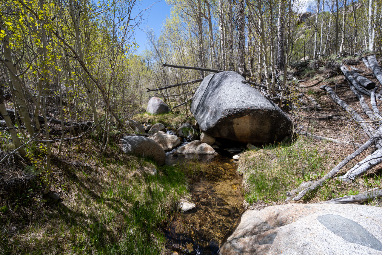
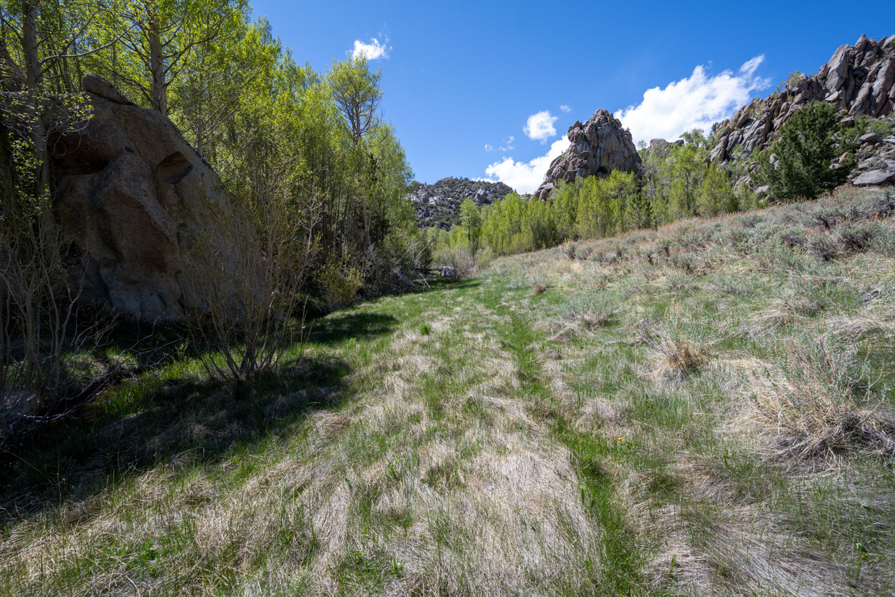
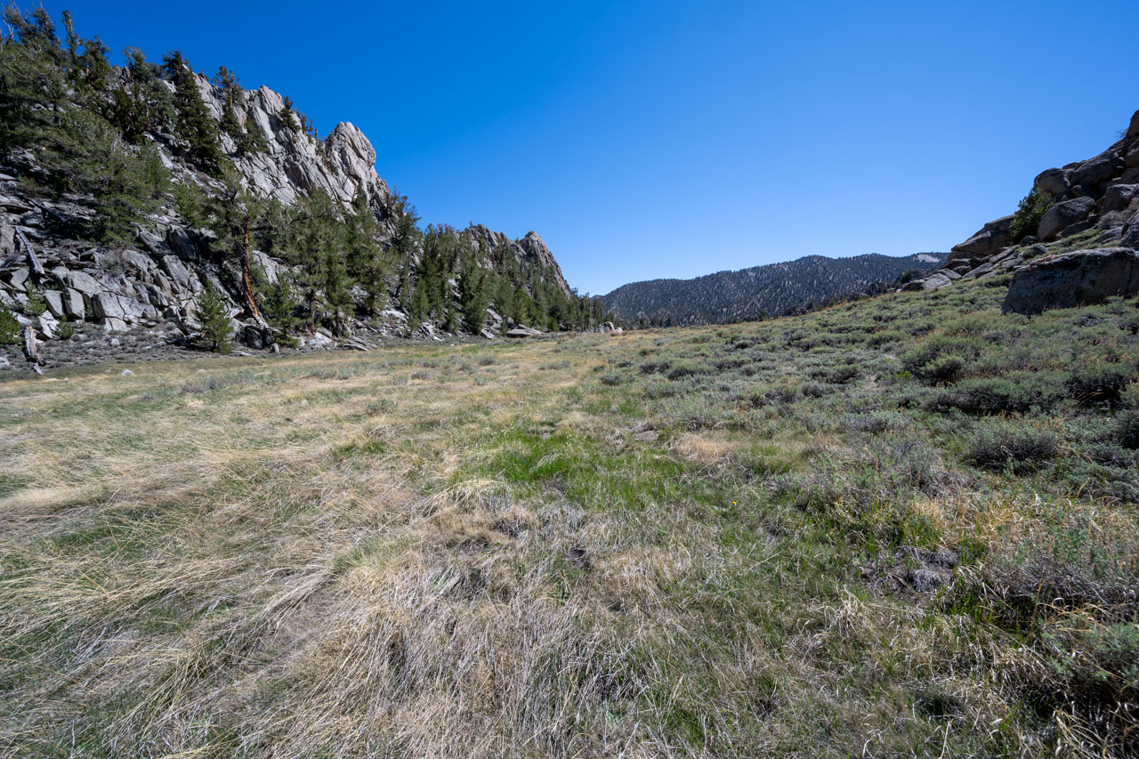
The central part of Cottonwood Basin is made up of many granite outcrops, reminding me a little of Joshua Tree transported into an alpine setting. My plan for the day was to visit some of the unnamed peaks around the Tres Plumas Flat area, which is perched above the granite basin. On the way out, I would complete the loop by following Cottonwood Creek down to Granite Meadow, and then back to McCloud Camp.
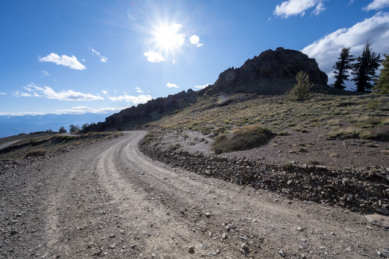
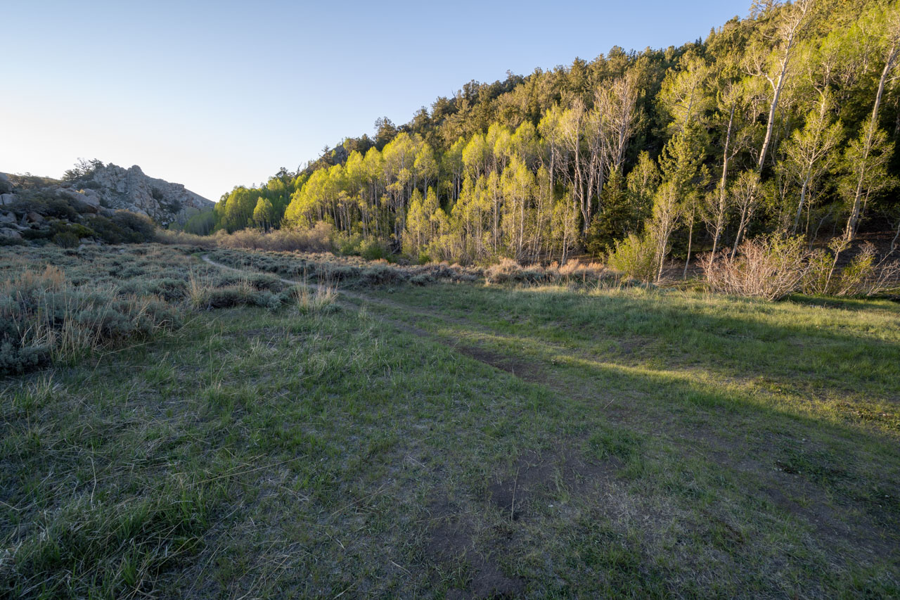
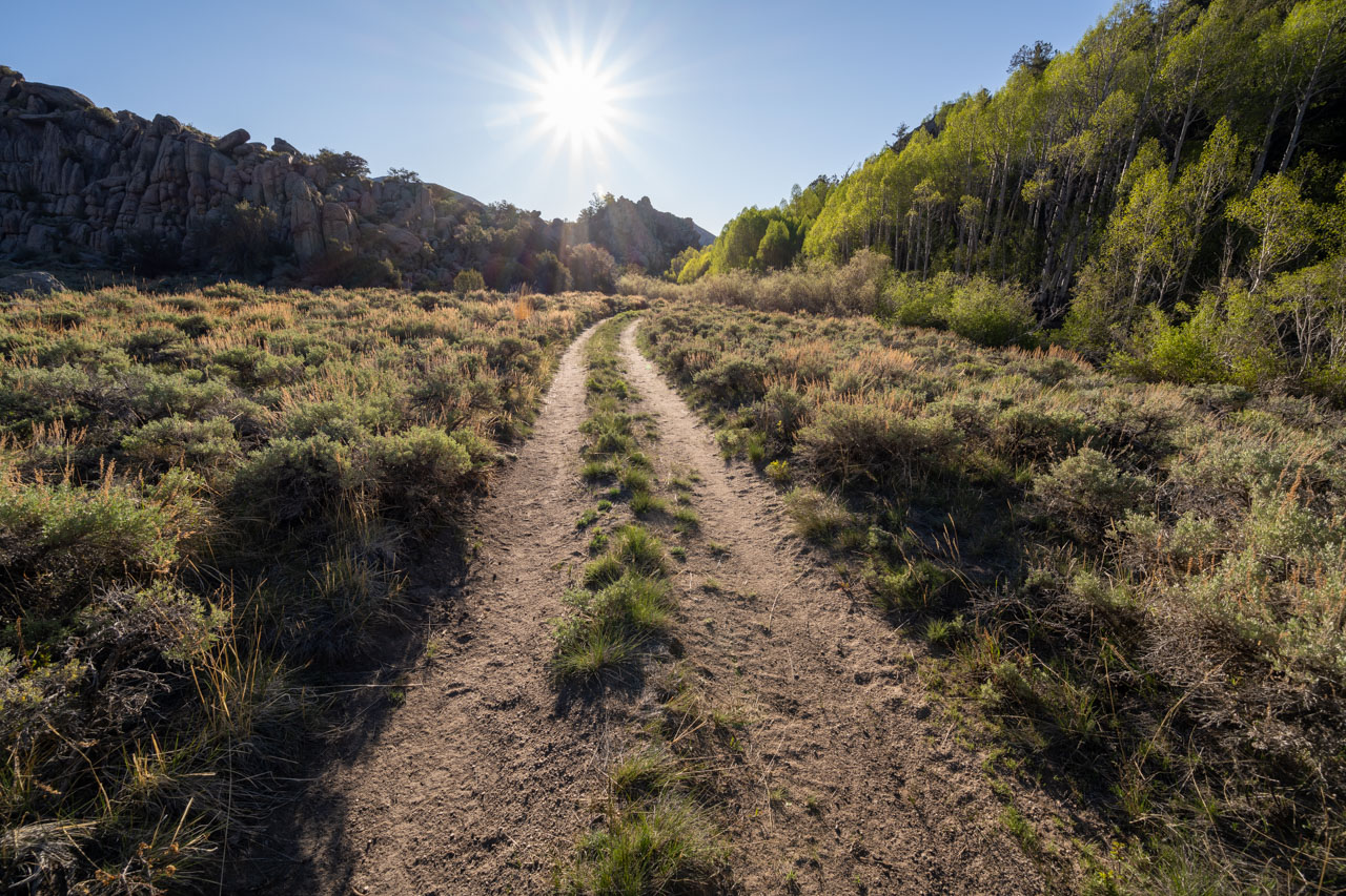
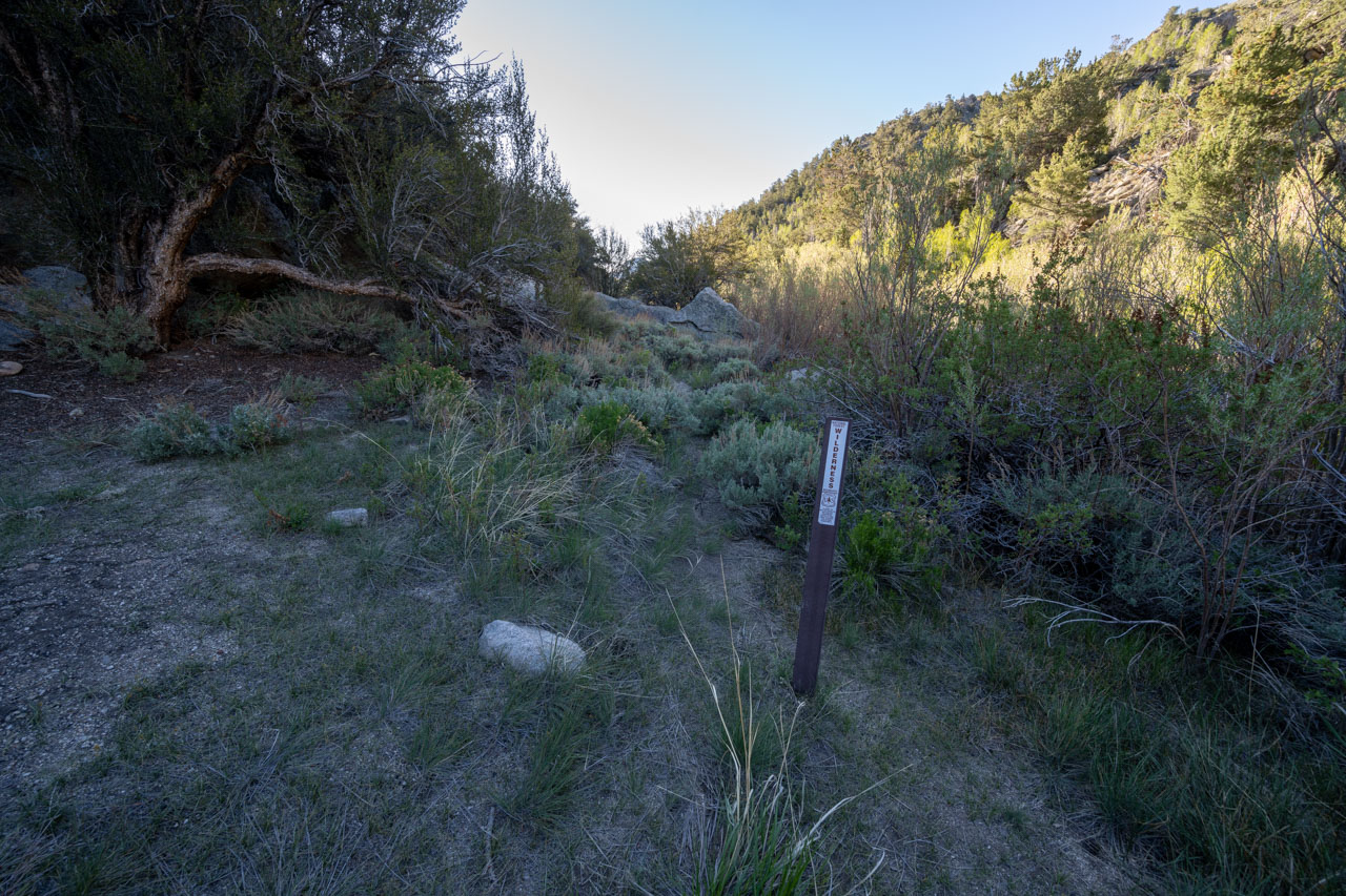
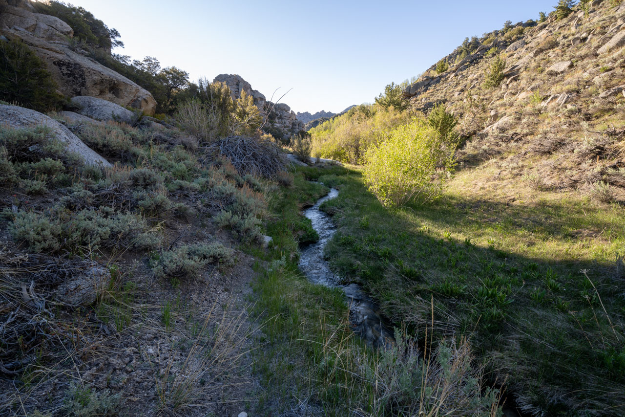
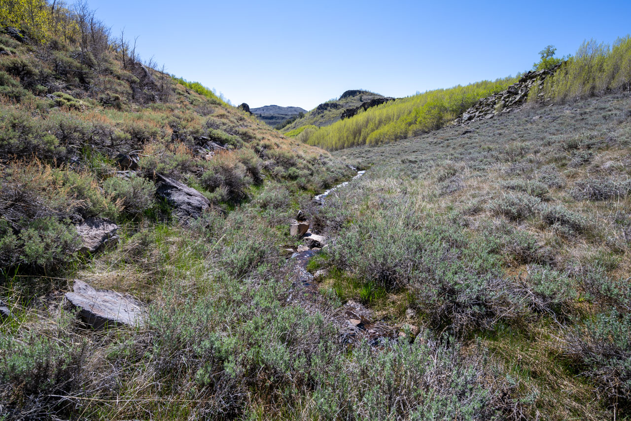
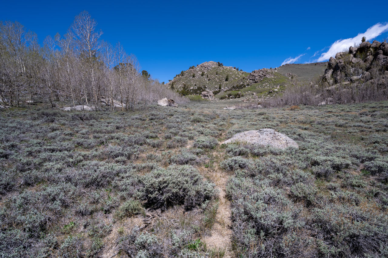
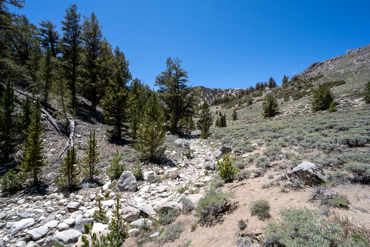
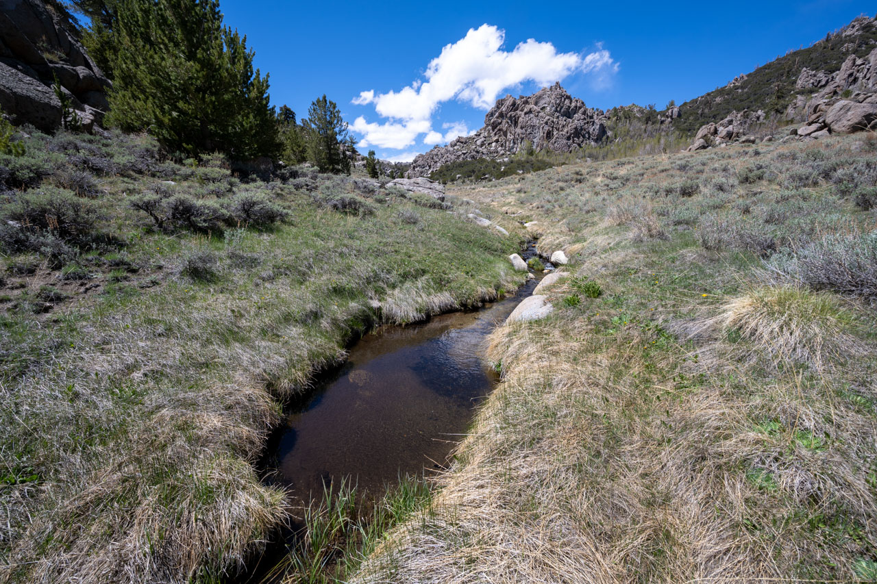
The morning had dawned clear for the first time in three days. I started down the 4WD road around 7AM, passing a few more nice campsites, until I reached the White Mountains Wilderness boundary. The road ended at the wilderness boundary, and I continued on a lightly used trail until I reached the North Fork Cottonwood Creek. Both forks of Cottonwood Creek are very scenic in this area, and it would make a nice hike following the creek in a loop around to Granite Meadow. I needed to climb out of the canyon to reach Peak 10592, so I only followed the north fork briefly before starting up the ridge.
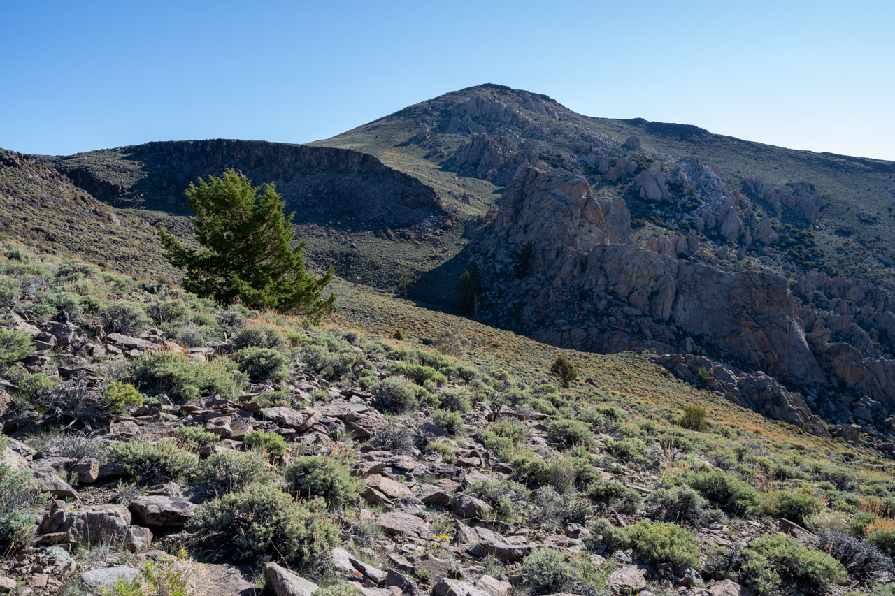
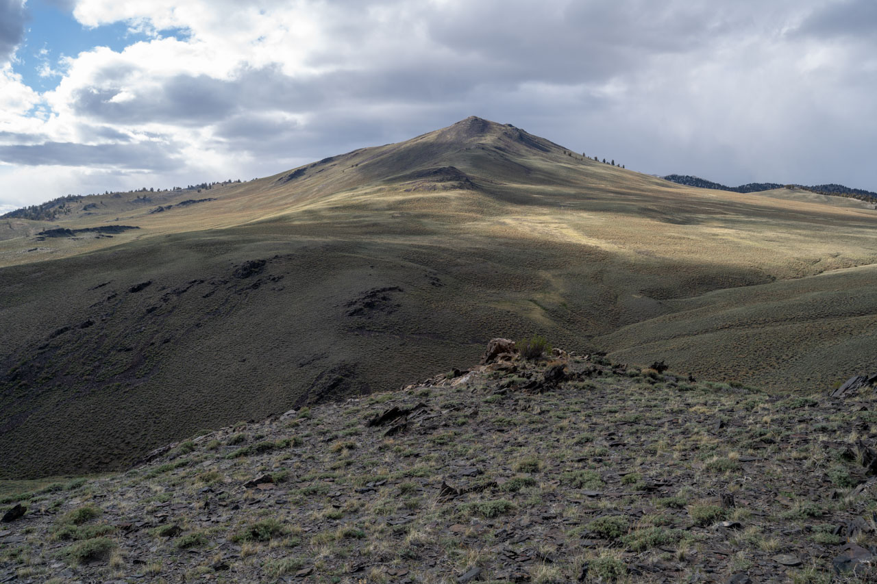
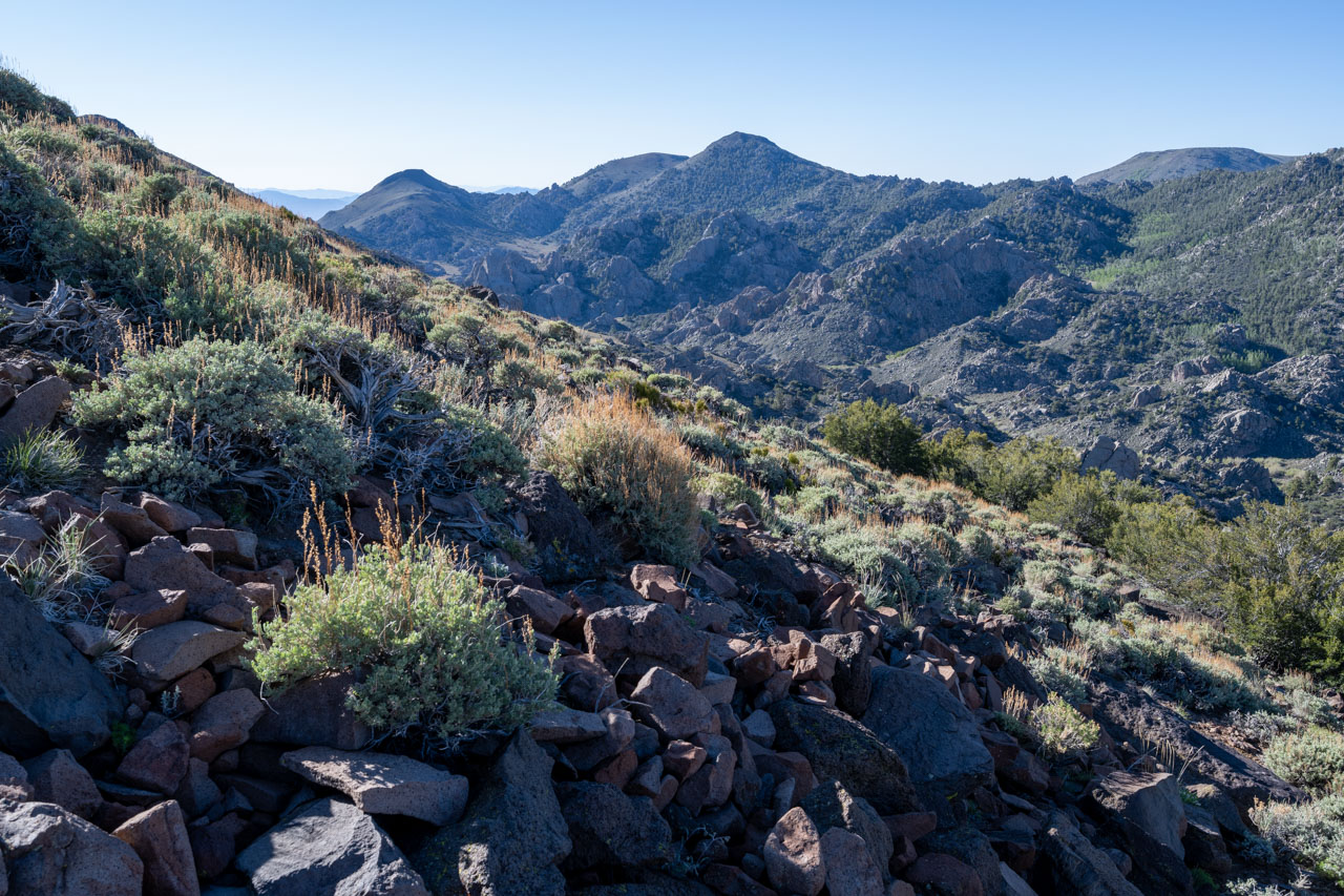
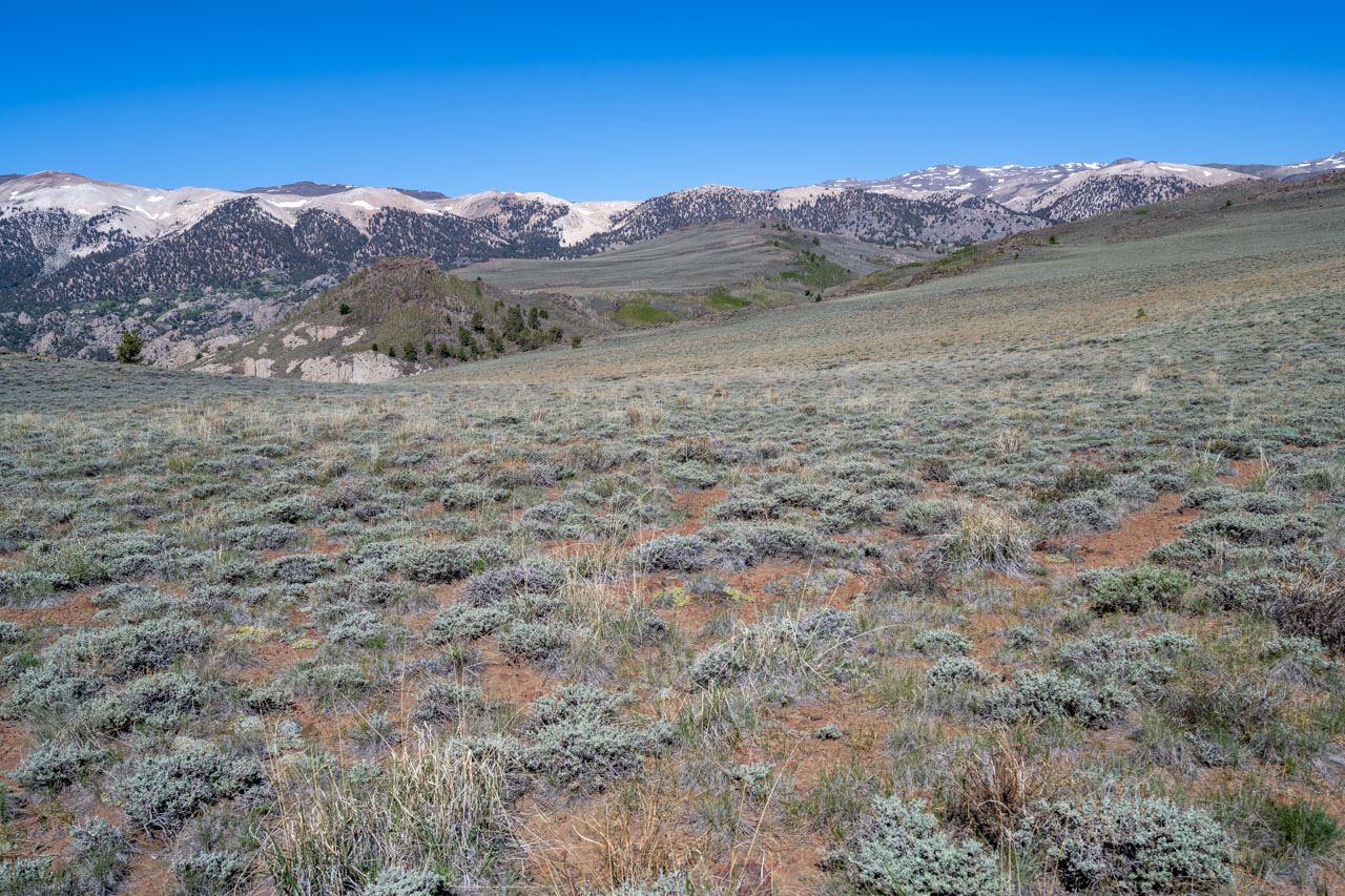
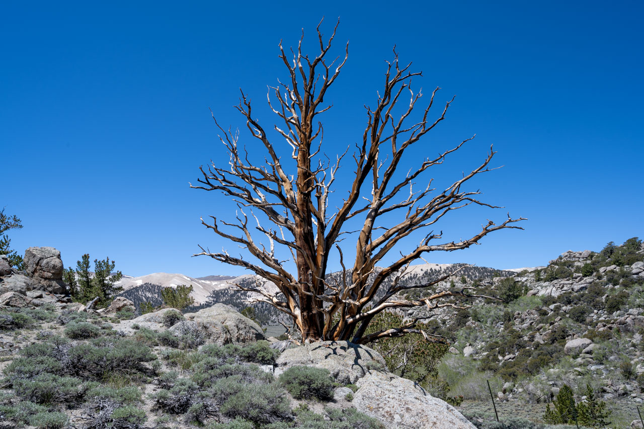
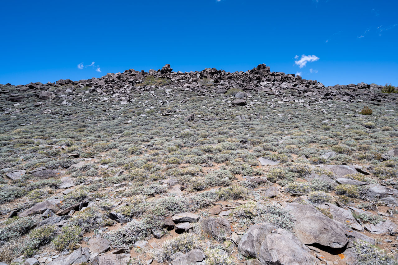
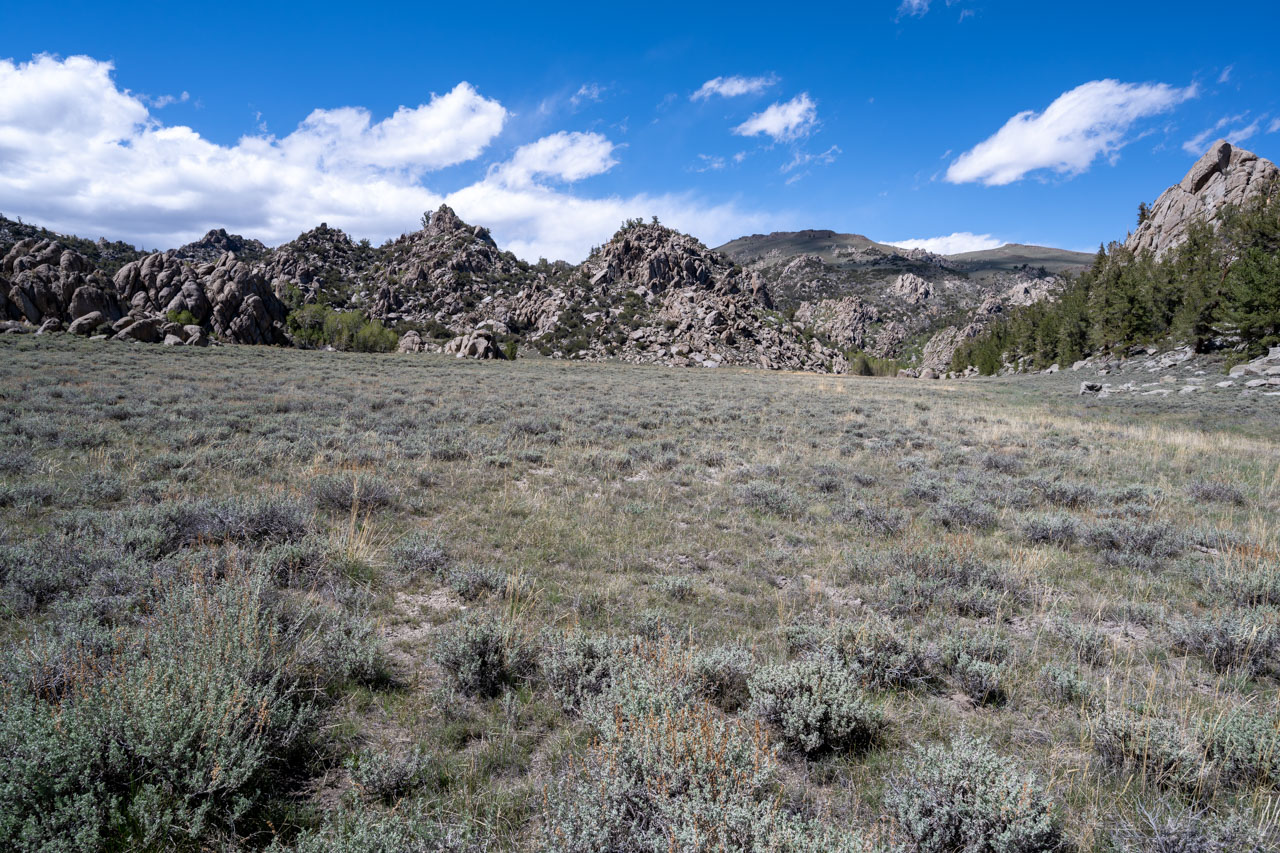
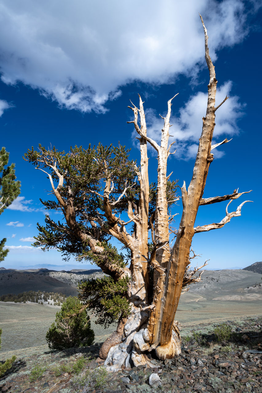
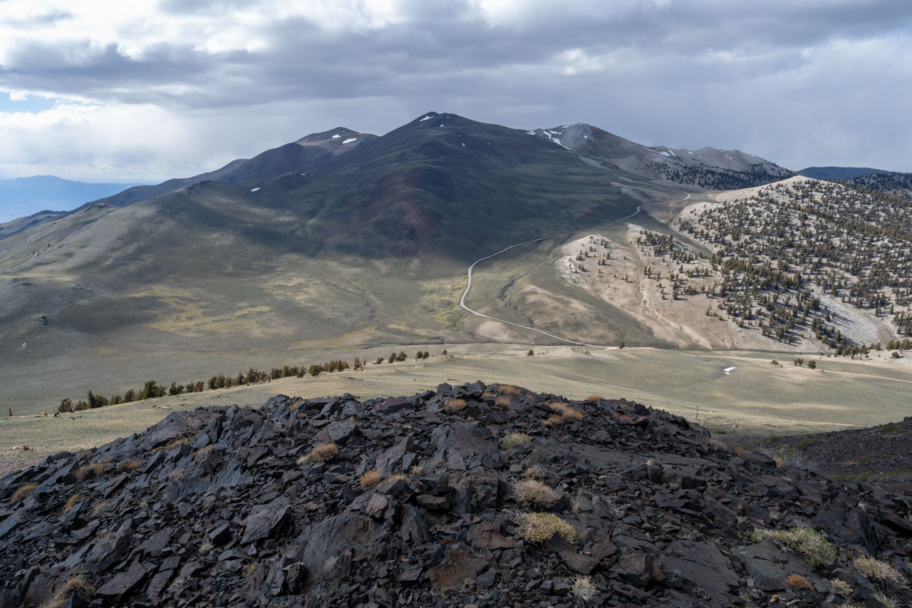
Peak 10592 soon came into view above Tres Plumas Flat. From the summit I could see some of the peaks I had visited the previous day along Cottonwood Creek. There was also a nice view over to White Mountain Peak. After enjoying the view, I descended to an old trail that led across the flat. The trail followed Tres Plumas Creek up to Tres Plumas Meadow. At the upper end of the meadow, I made the short climb up to Peak 10660, which provided a good vantage point overlooking the entire basin.
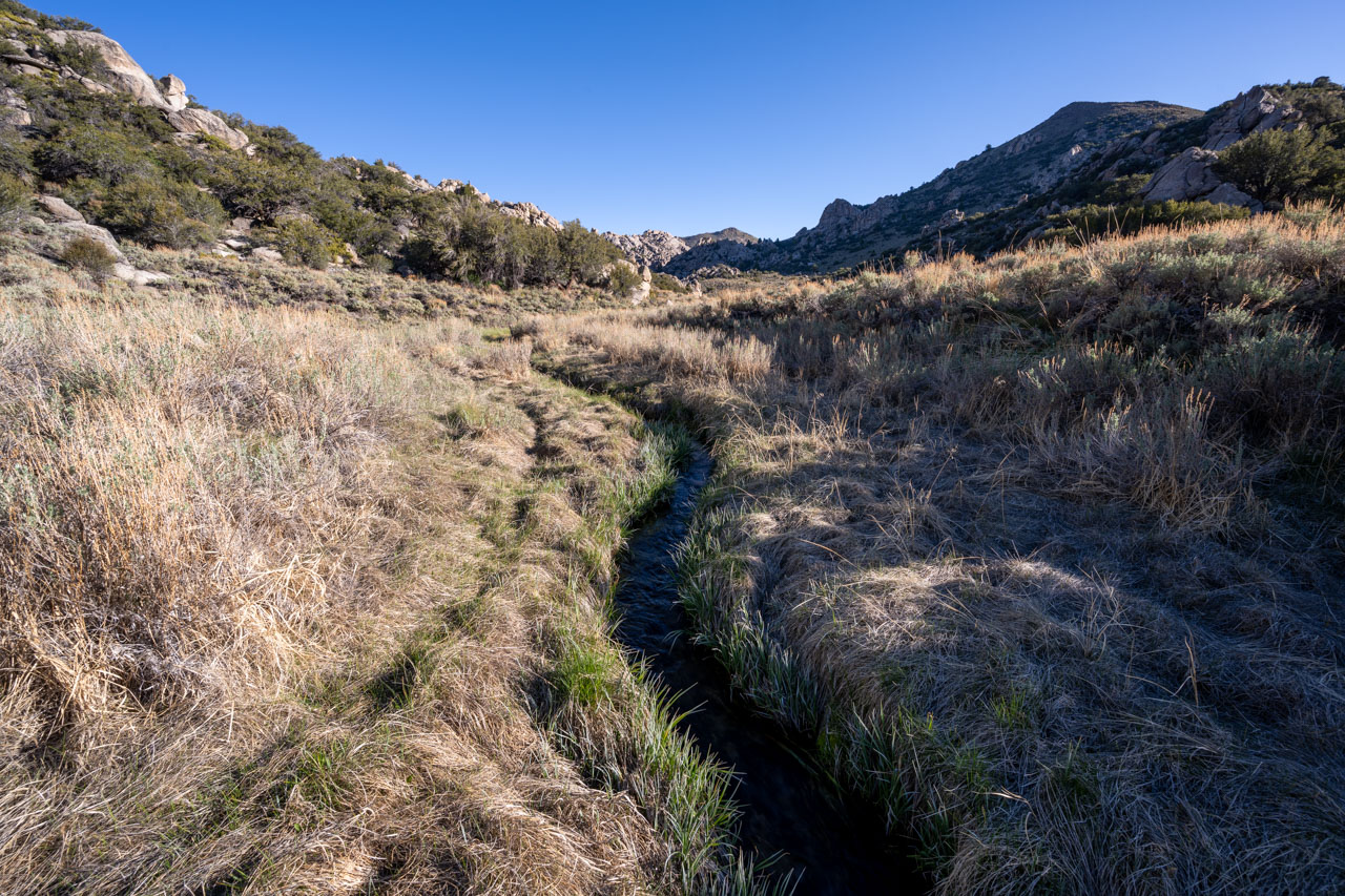
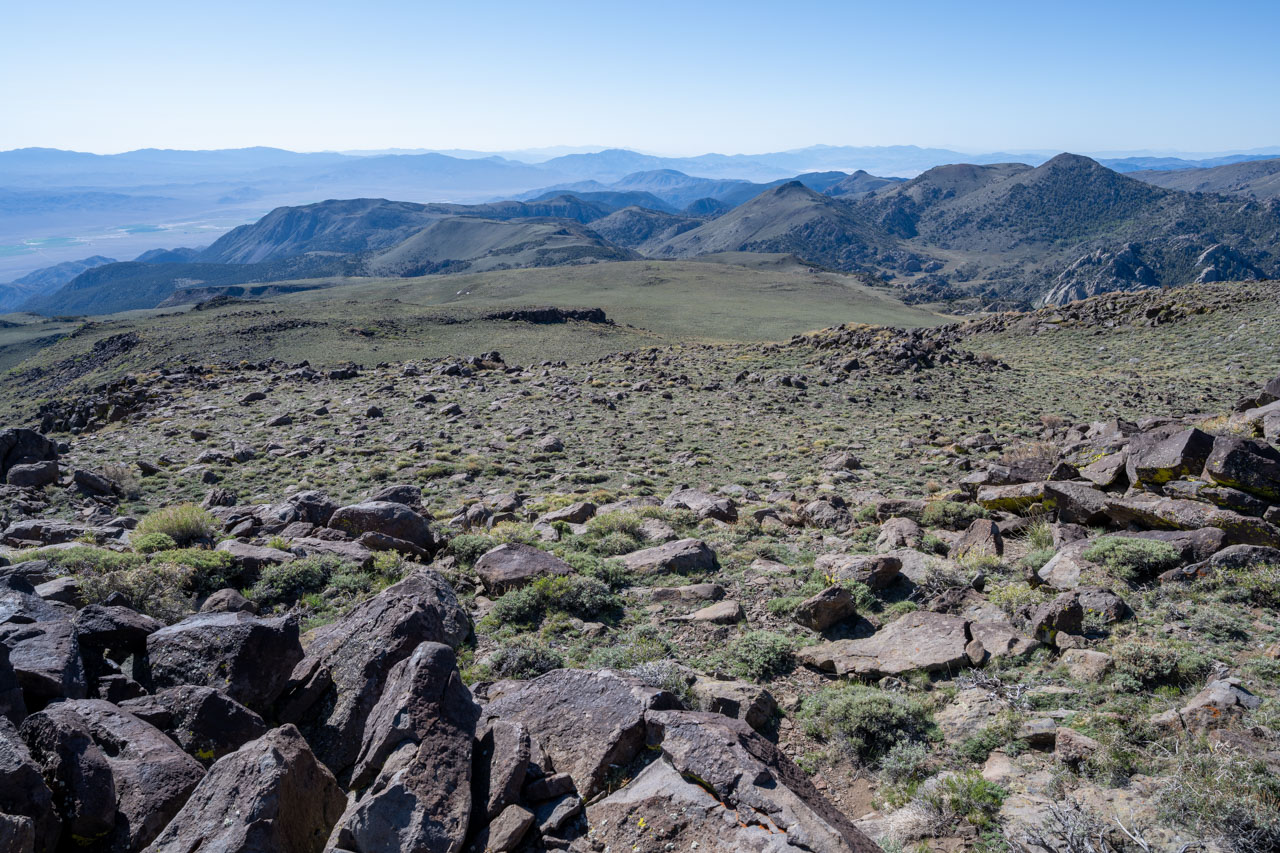
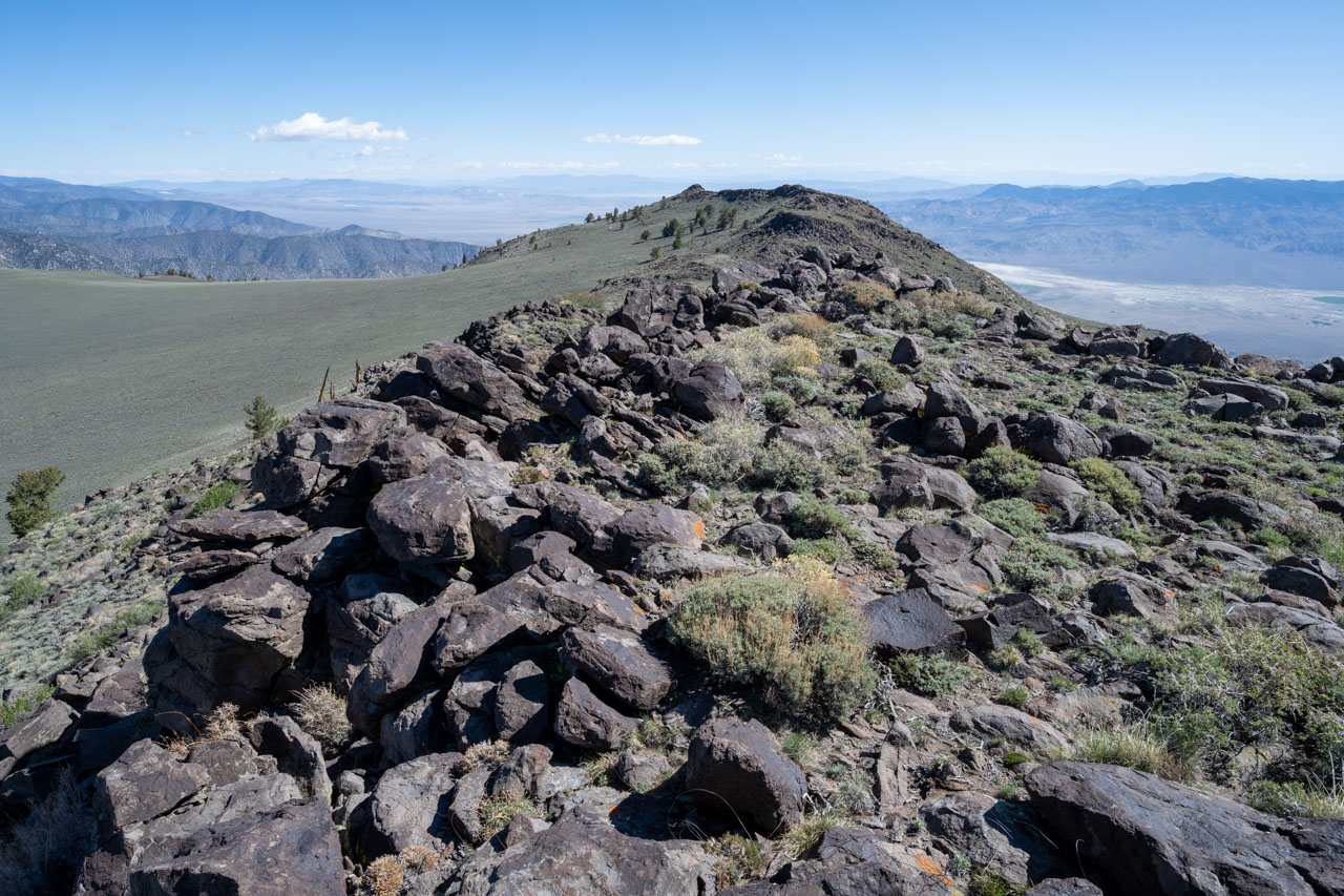
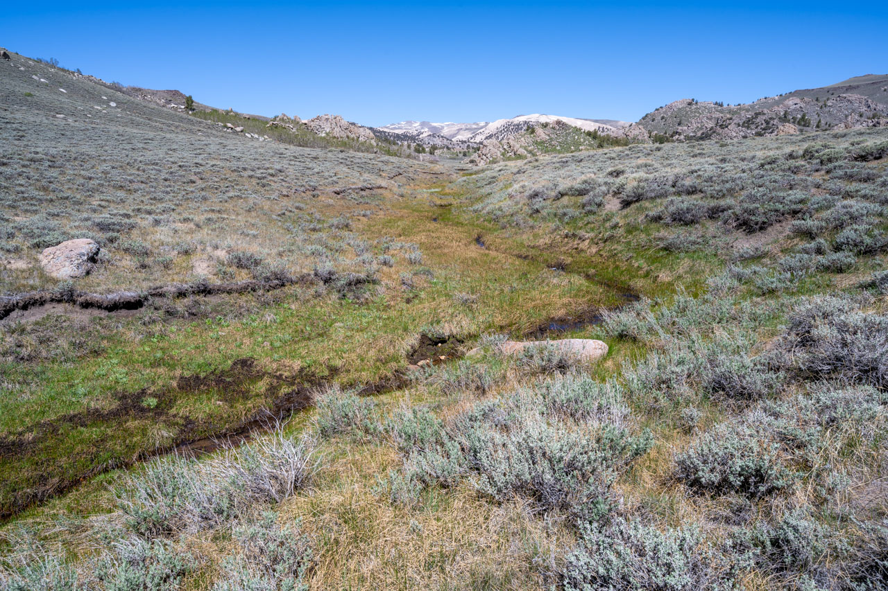
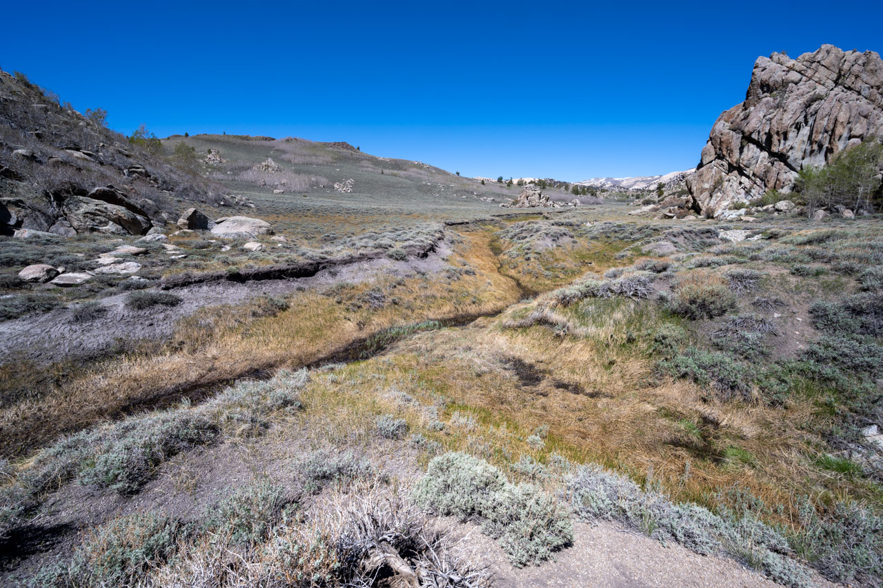
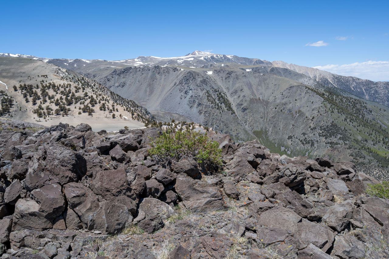
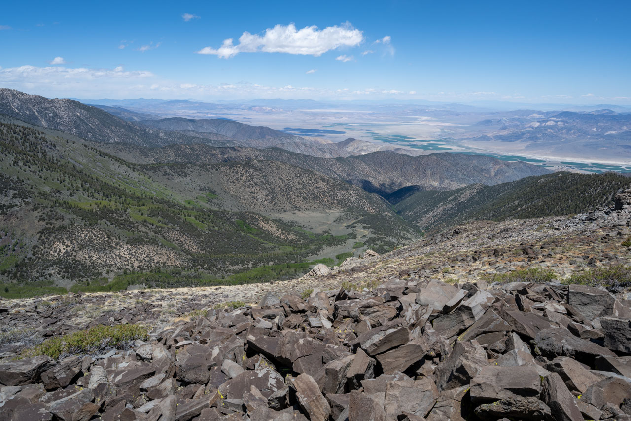
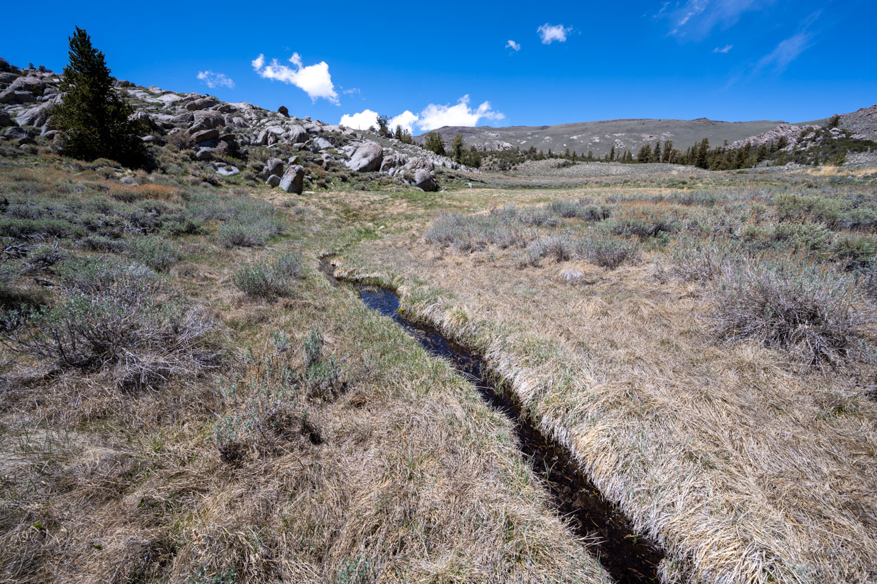
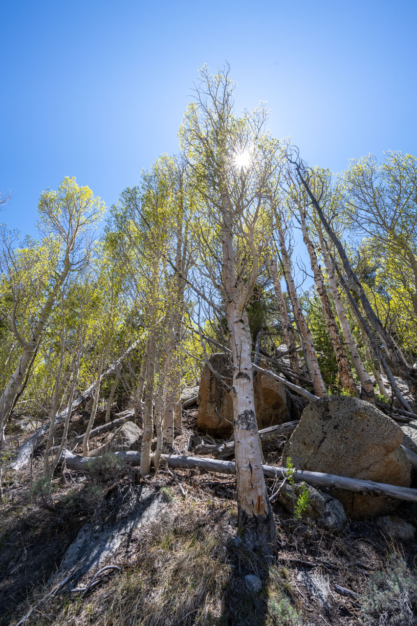
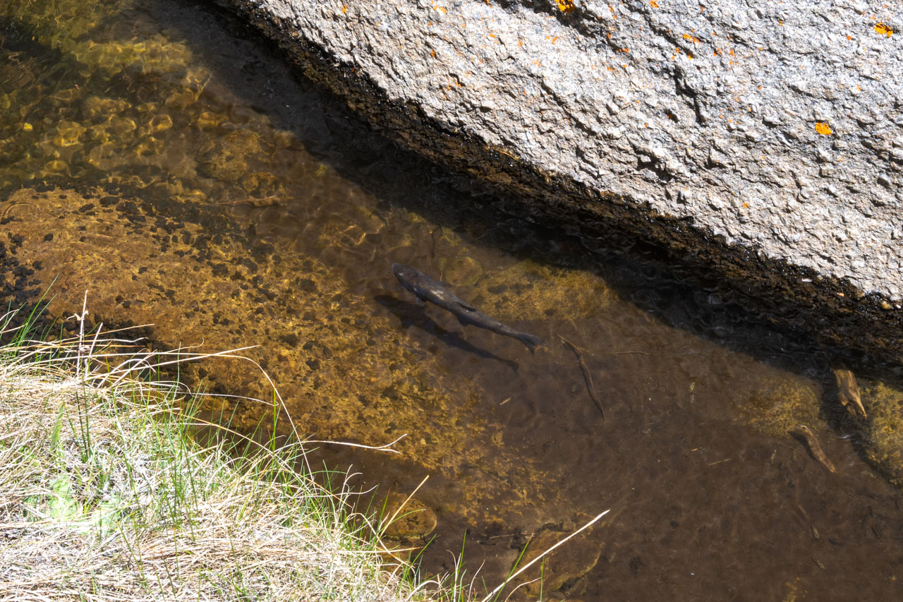
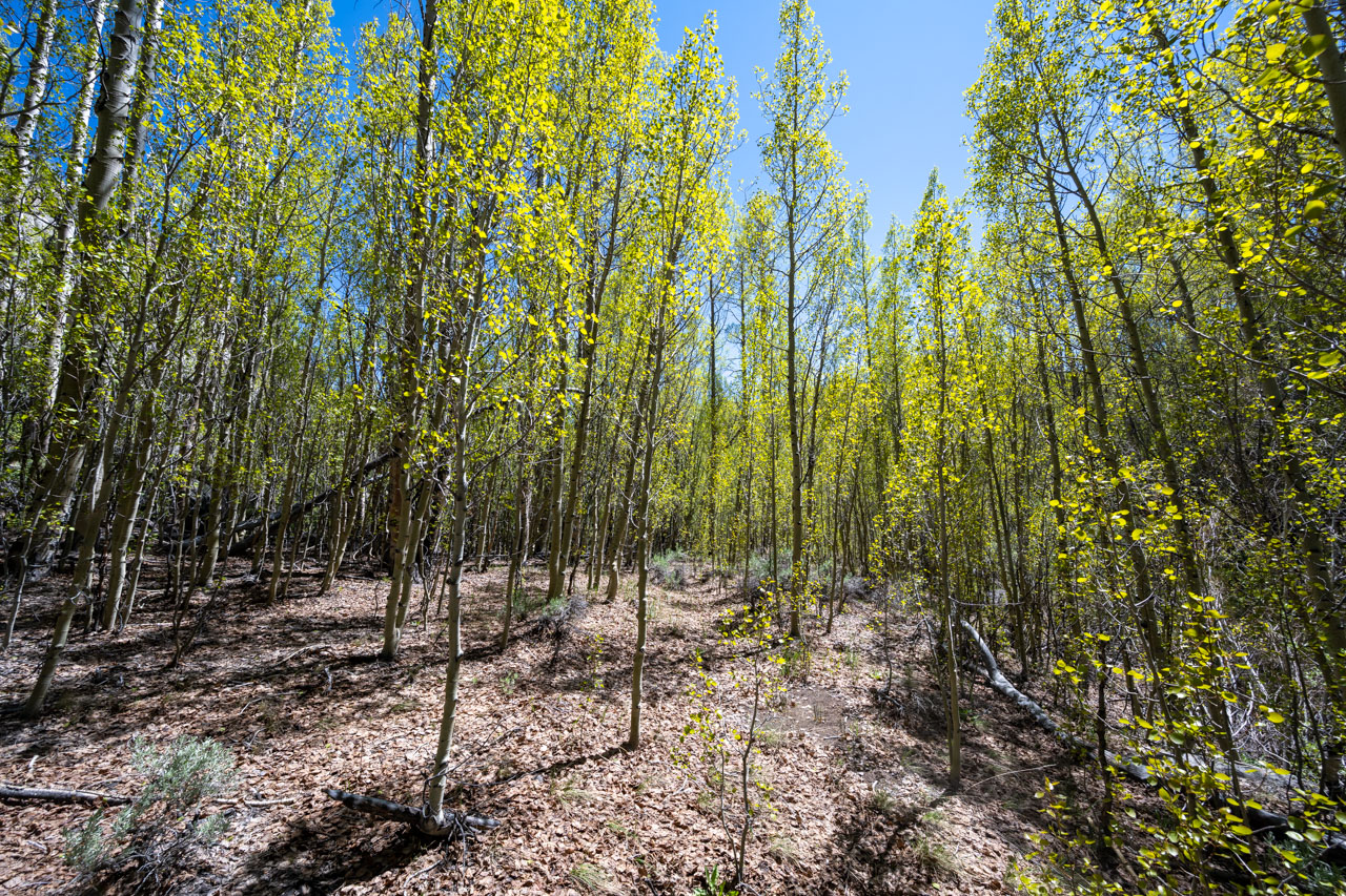
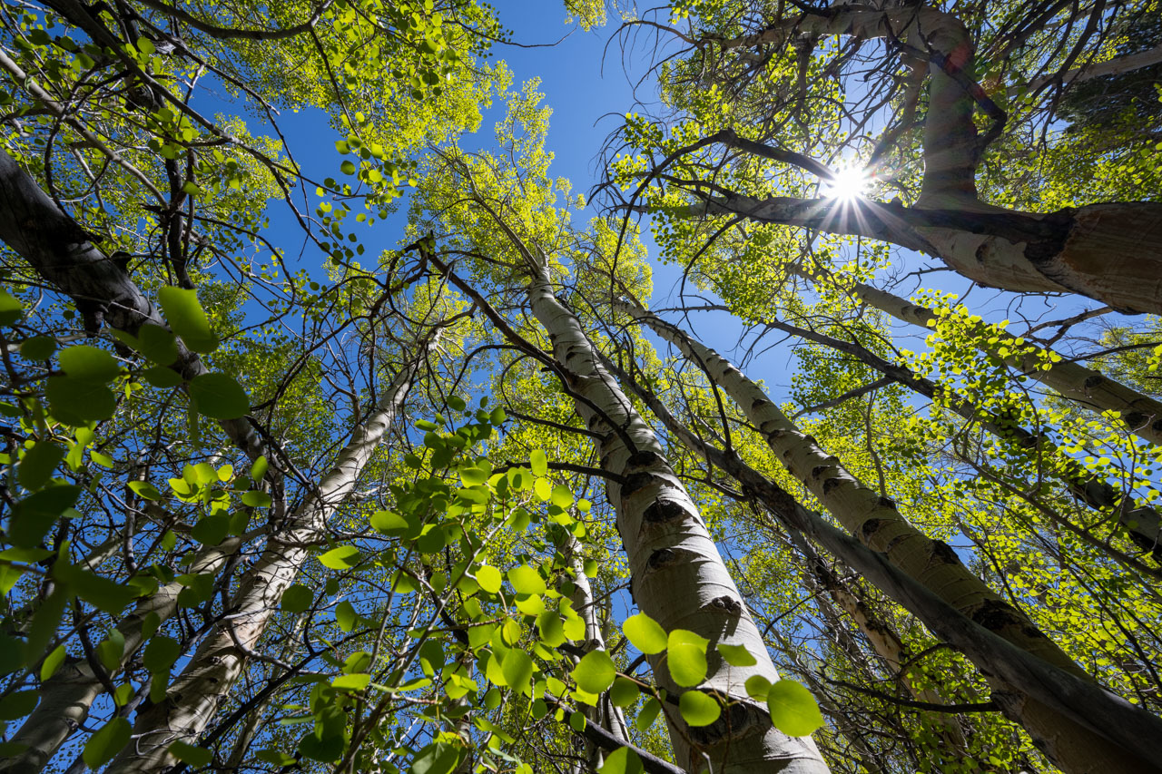
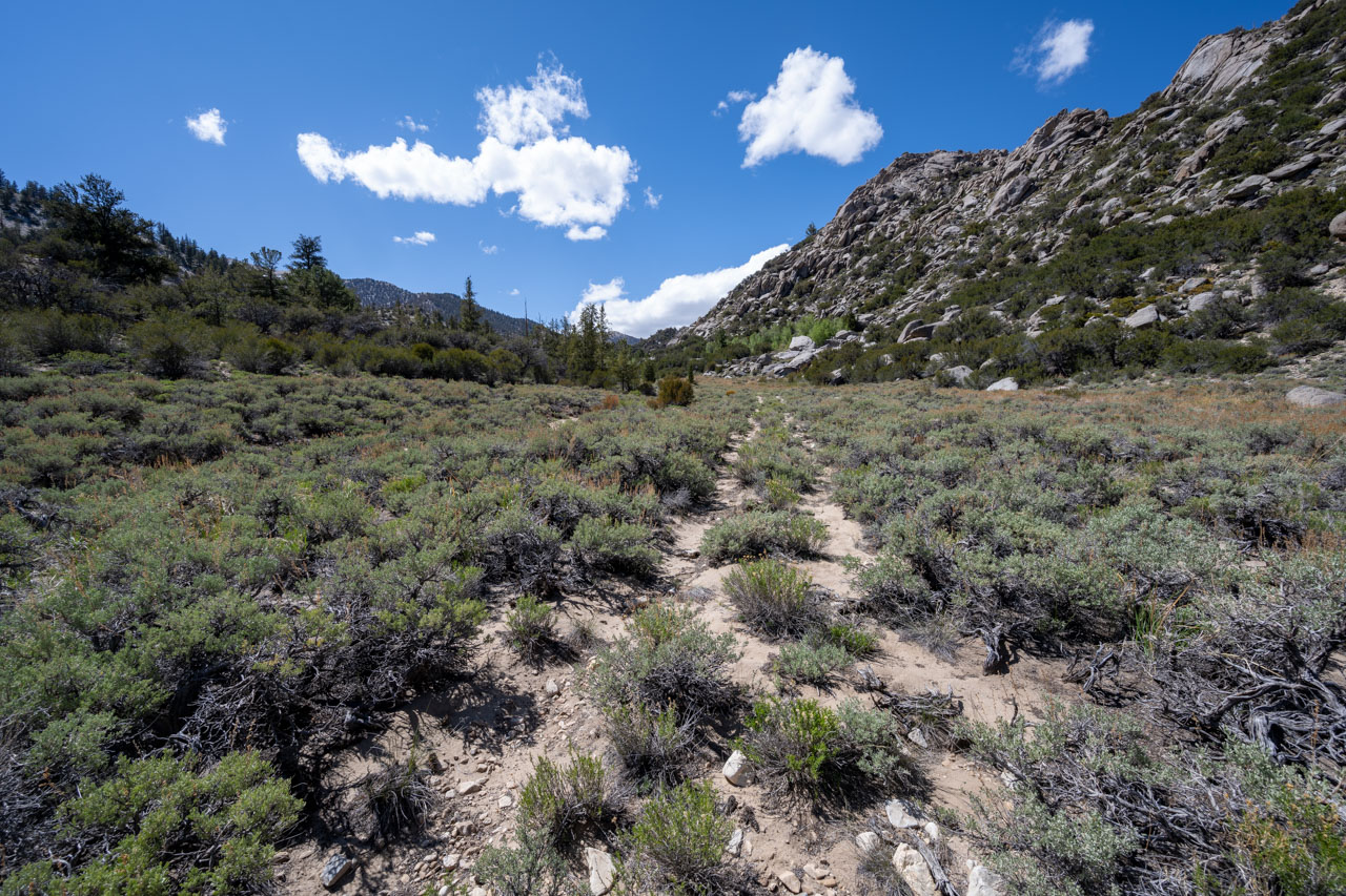
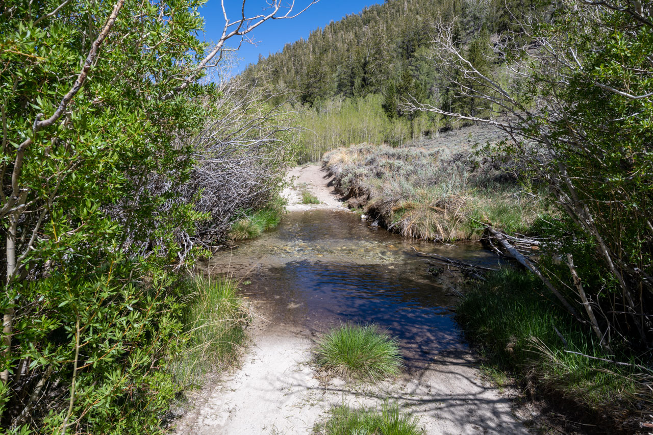
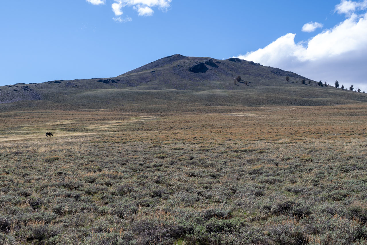
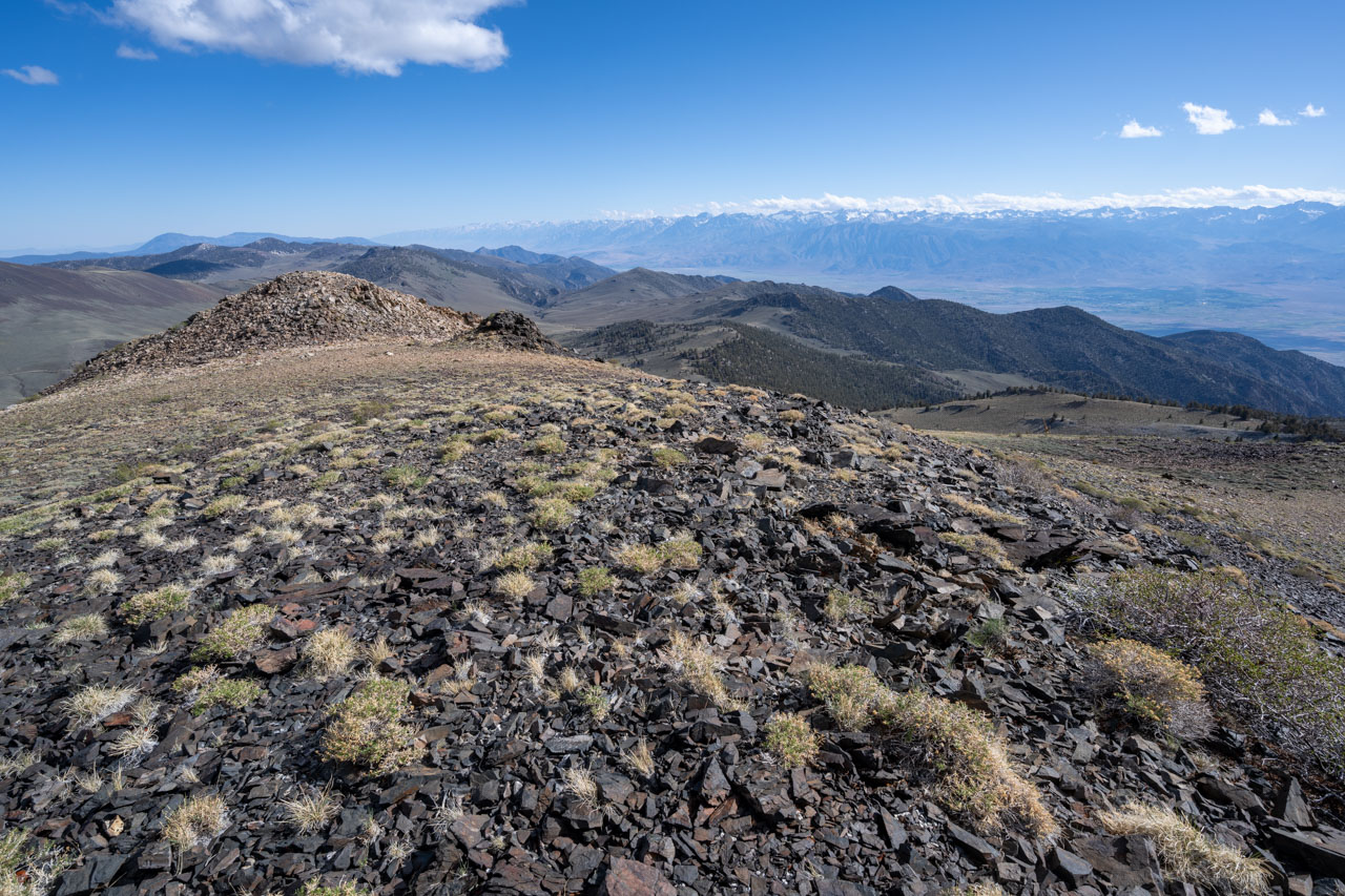
I returned to the trail and followed it briefly before going up and over an intermediate ridge to access Peak 11420. A final 800 ft climb led to the rocky summit. I took a break in a wind-sheltered spot at the summit and enjoyed the view out to Fish Lake Valley and to White Mountain Peak a few miles to the north.To complete the return leg of the loop, I descended to the headwaters of the North Fork Cottonwood Creek. This turned out to be the most scenic part of the day. I crossed a spring-filled meadow and entered back into the White Mountains Wilderness. An old trail followed the creek through aspen lined meadows. I was surprised to see some large fish in nearly every pool that I passed. Later I would learn that they were Paiute Cutthroat Trout, one of the rarest trout species in North America. They seem to be thriving in this area, even though the creek doesn’t have much flow and is never more than a few feet wide. After a few miles along the creek, I arrived at Granite Meadow. I crossed the meadow and then rejoined the road to complete the loop.

1.1 Miles, 800 Gain
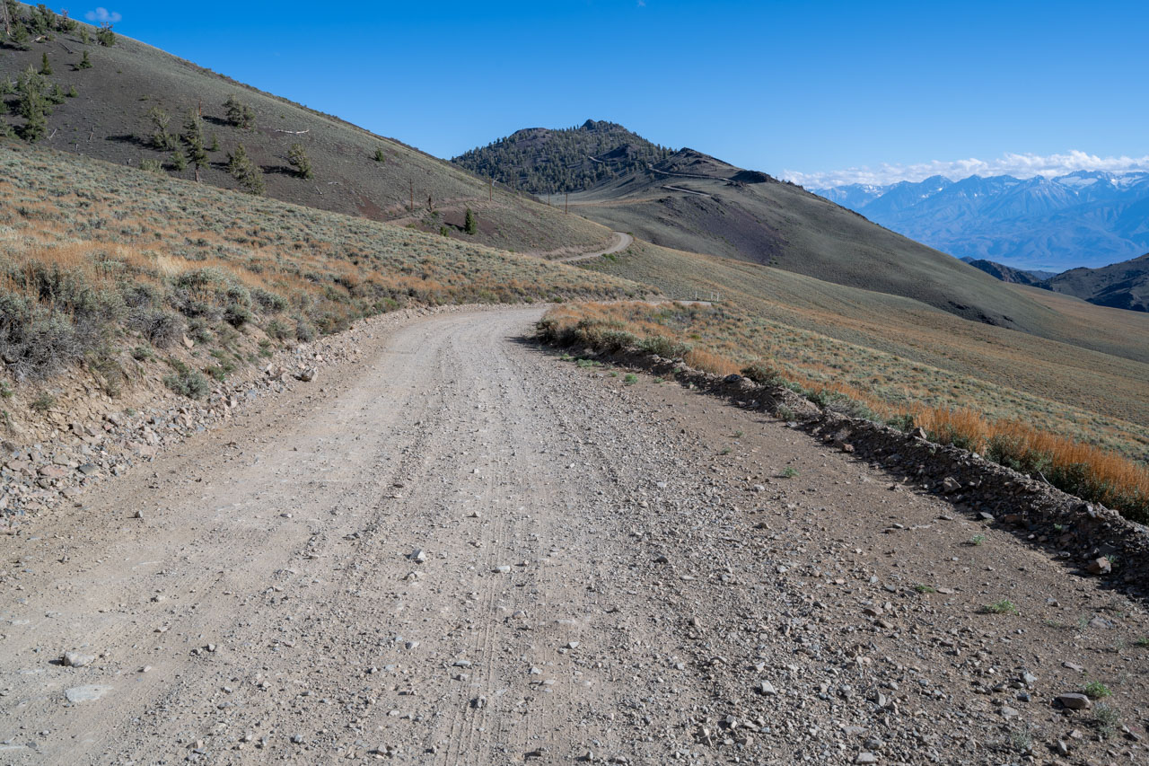
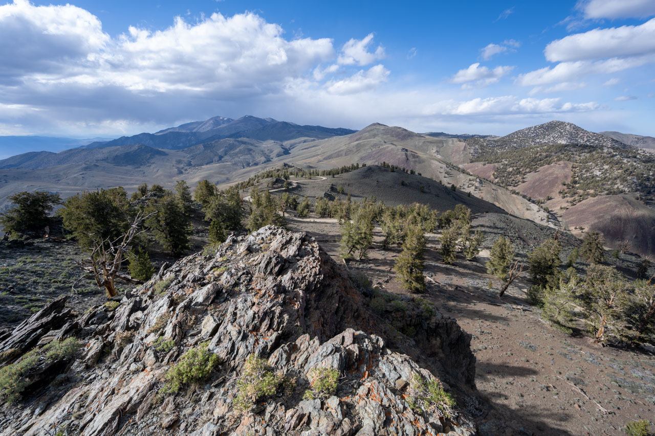
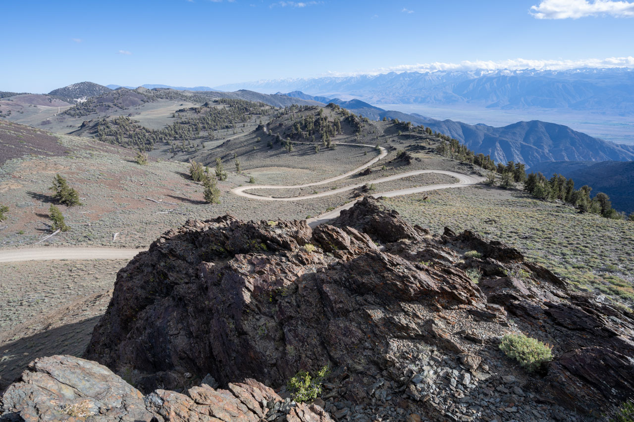
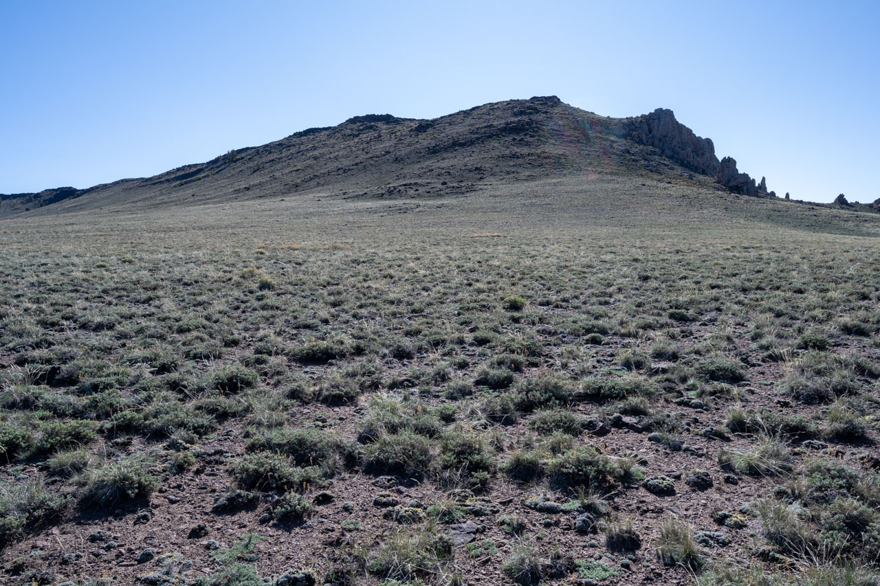
I was planning to drive a few hours north to reach Leavitt Meadow later in the evening, but I had finished the loop through Cottonwood Basin with enough time to do two more short hikes on the drive out. The round trip distance to Campito Mountain is only about a mile and provides a nice view to the Sierra. There was high wind at the summit, so I didn’t stay long before starting back to the car.
0.2 Miles, 100 Gain
Peak 10940 is essentially a drive-up. I parked in a wide section of the road and made the short hike up to the summit. There were nice views both north and south, so it was worth the quick stop.