I had driven into the lower end of Cottonwood Creek back in February to check out an old trail that followed the creek up to Cottonwood Basin. I had been hoping the trail would be in good enough shape to use as a backpacking route, but unfortunately it was somewhat overgrown. I was still interested in checking out the area, but instead of doing it as a backpacking trip, I decided it would make more sense to do as a hike from higher up in the canyon.
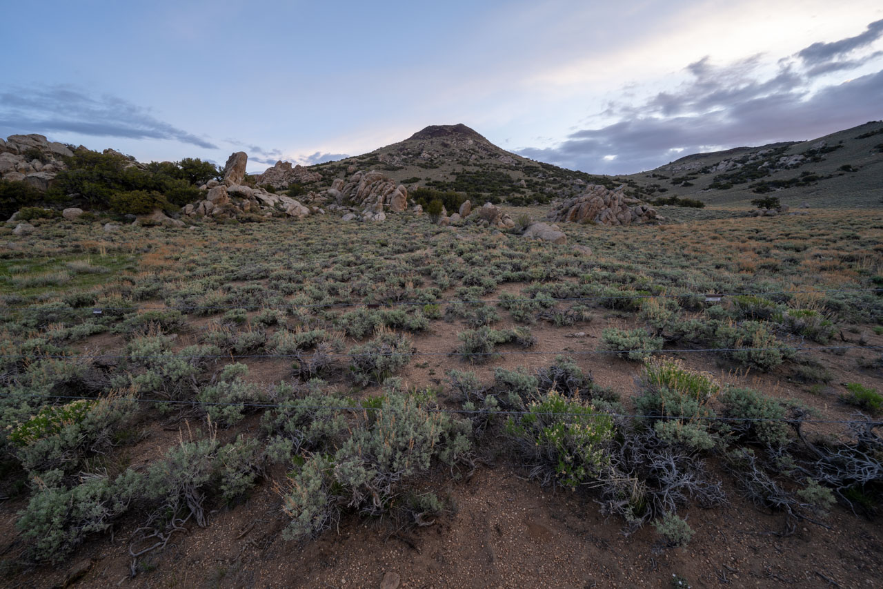
After a trip to Waucoba Mountain the previous day, I had driven into Crooked Creek on a high clearance road that led to the Deep Springs Cow Camp. I car camped a short distance beyond the cow camp near the base of Station Peak. My plan for the day was to do a clockwise loop that would follow a portion of Cottonwood Creek to some remote unnamed peaks in the White Mountains Wilderness. There were also several named peaks that I included in the loop, but most of these could have been reached more easily by driving on 4WD roads.

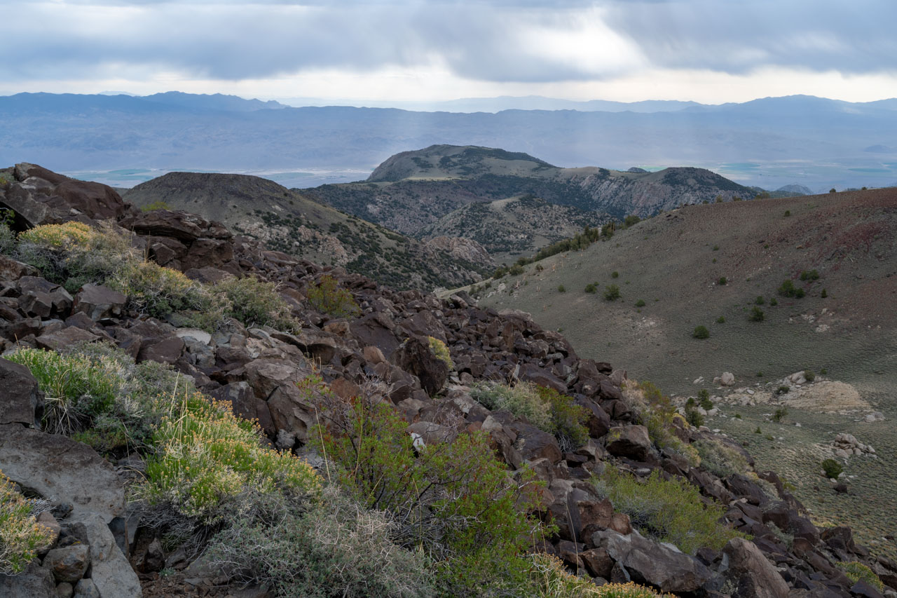
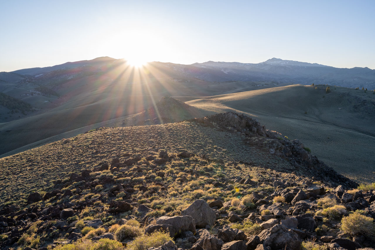
For the second day in a row, I woke to overcast skies. As I made my way up Station Peak, I could see that White Mountain was still engulfed in clouds. Not long after I started, the wind picked up and began to blow the clouds in my direction. By the time I reached the summit of Station Peak, the wind was blowing a mixture of rain and snow across the summit. Thankfully this didn’t last very long, and by the time I reached Peak 9860, the weather had started to clear.
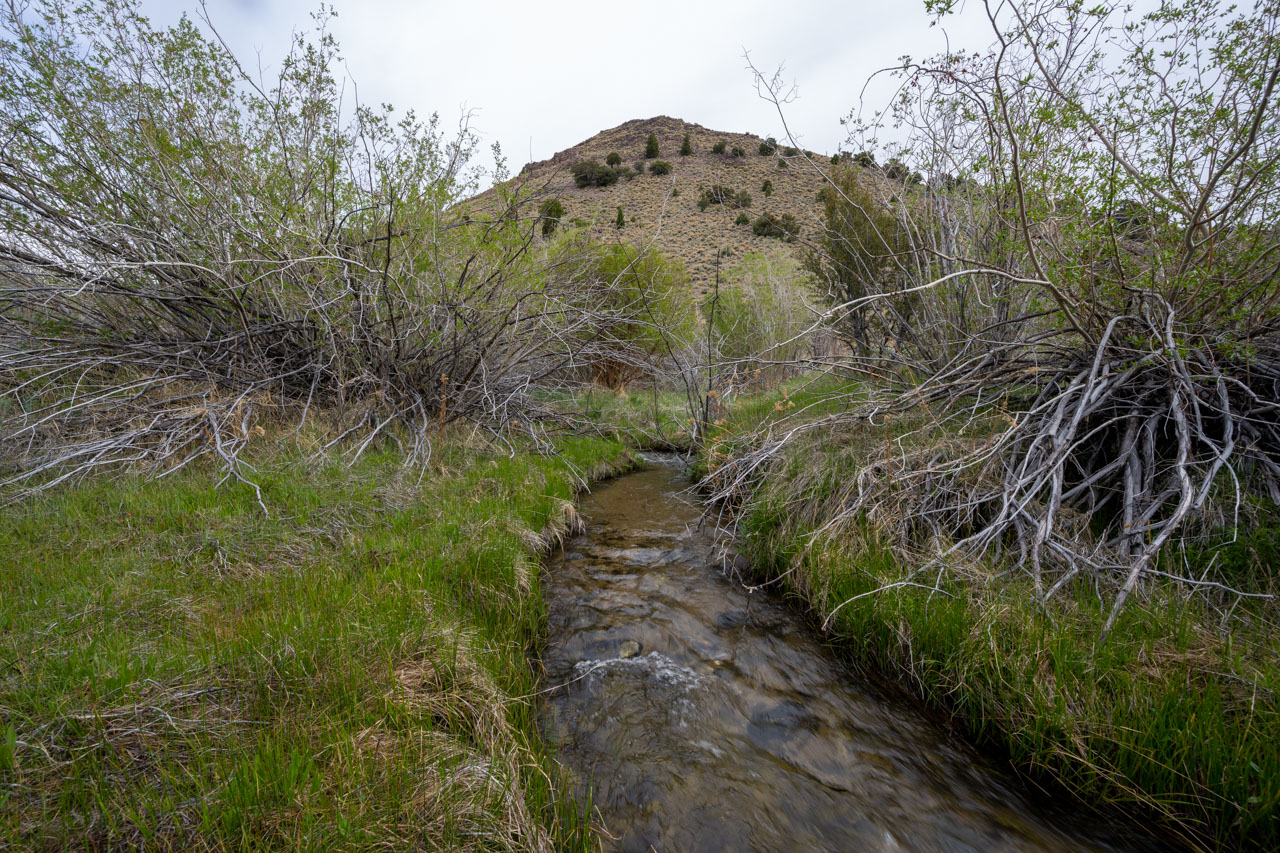
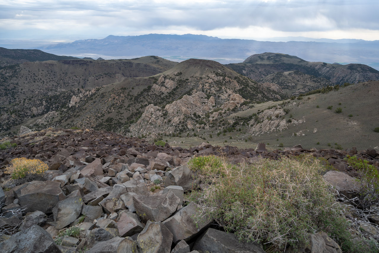
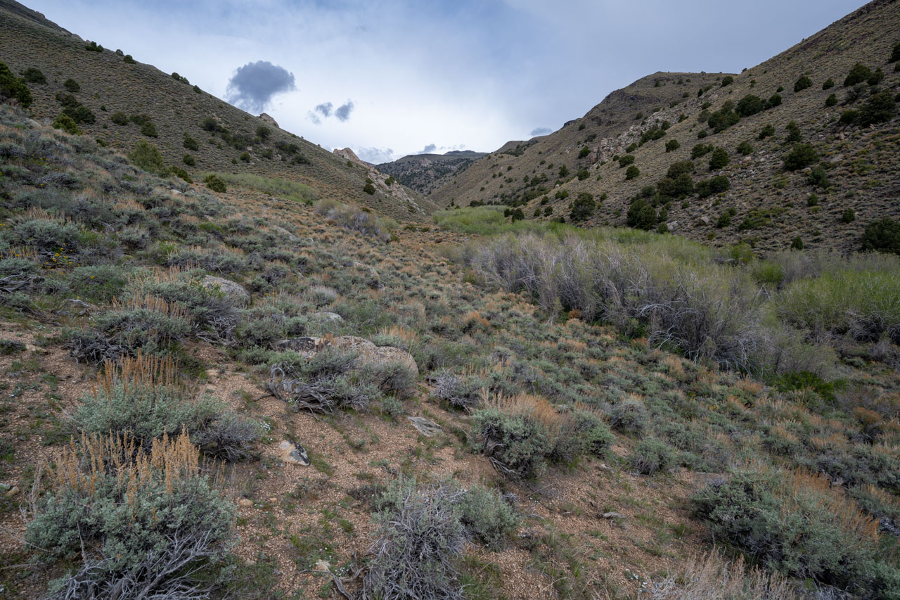
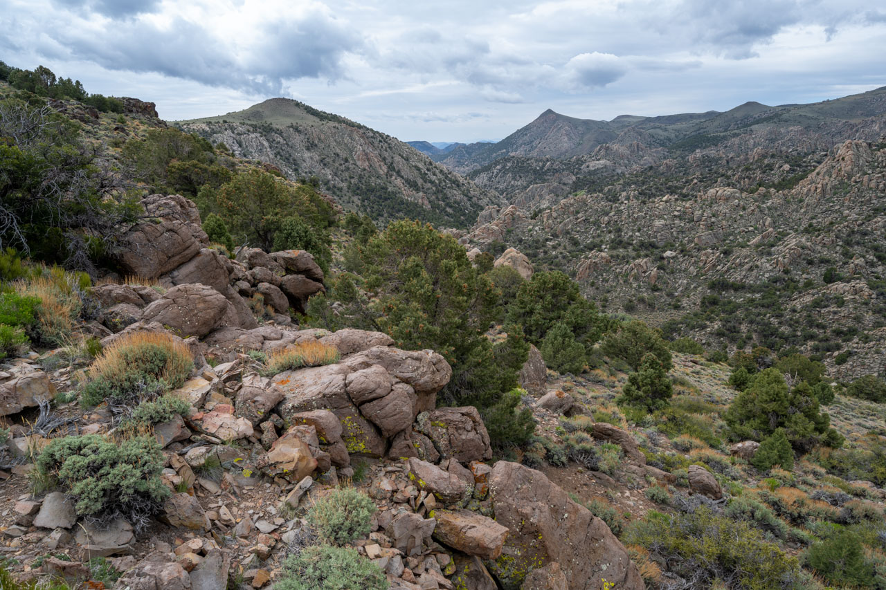
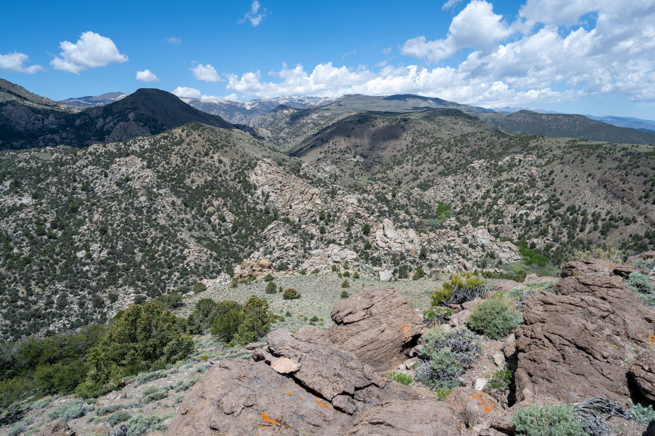
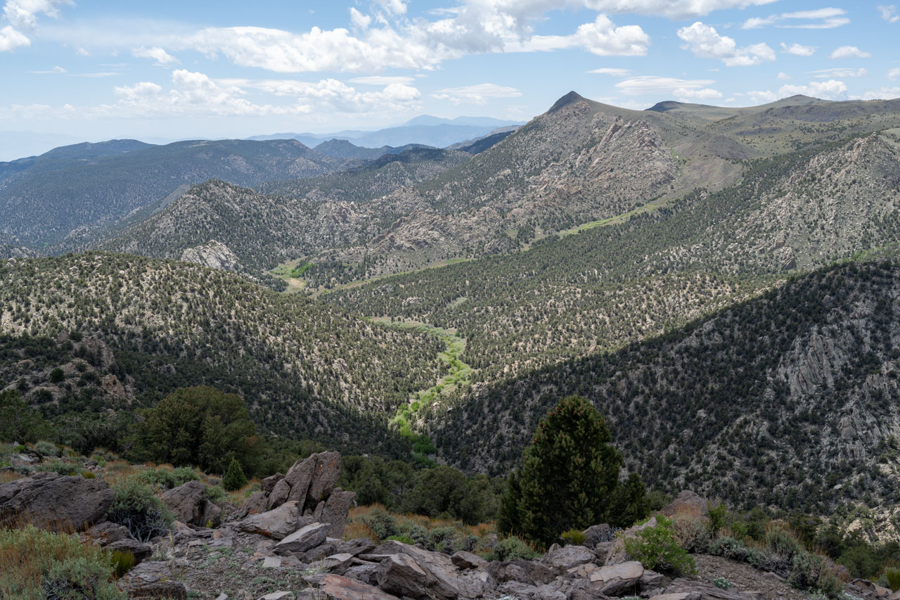
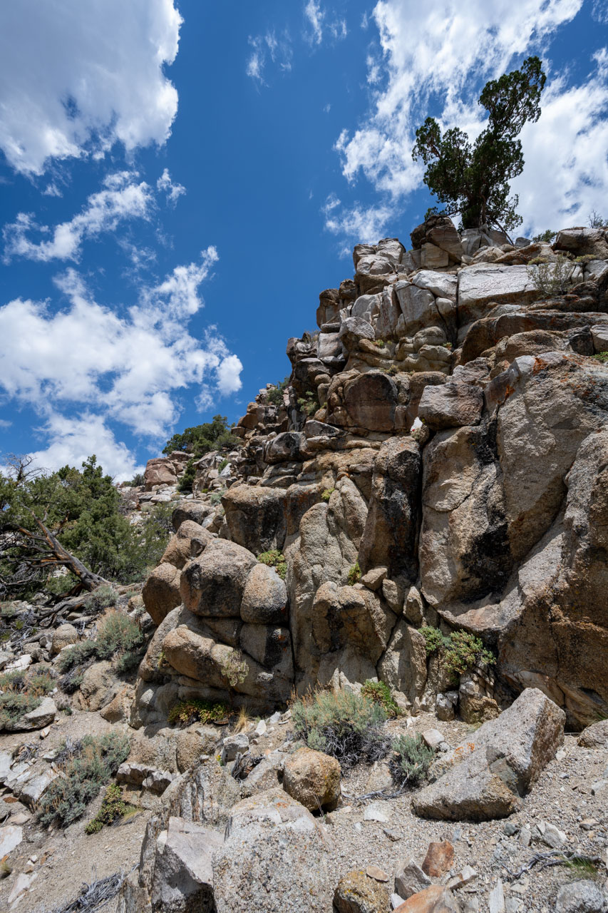
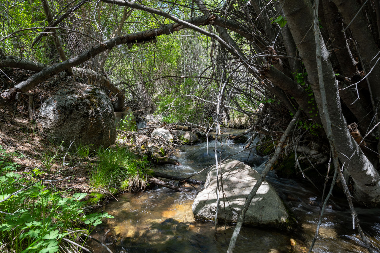
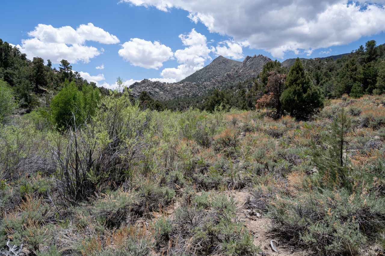
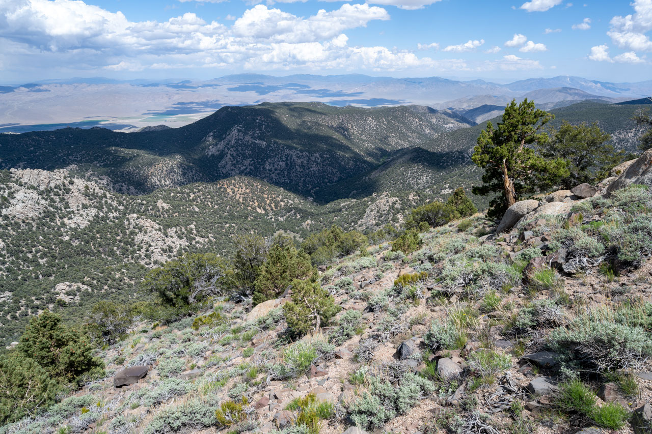
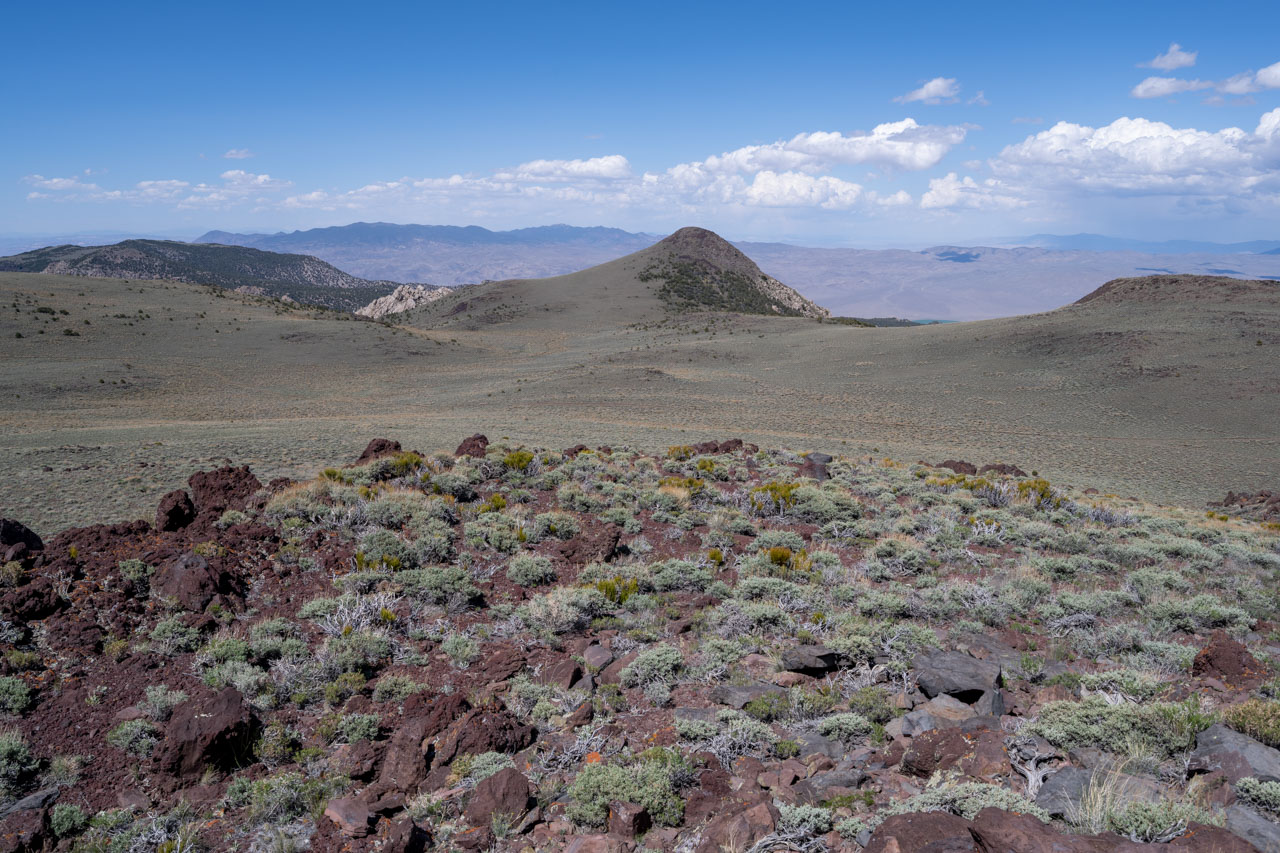
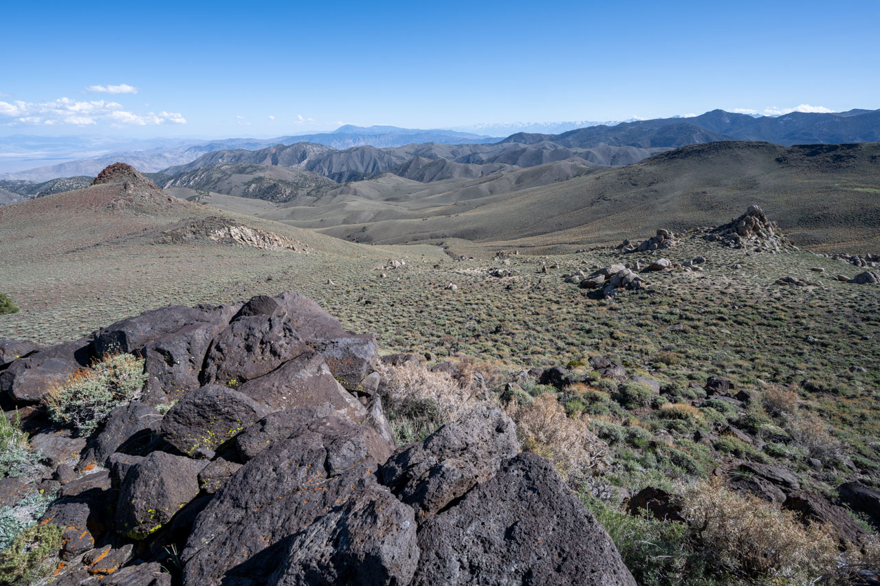
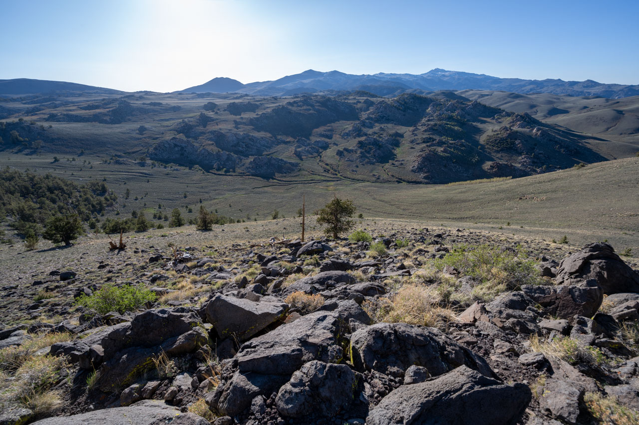
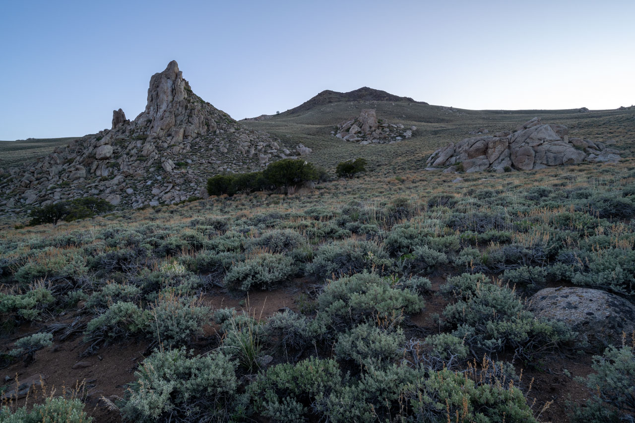
I crossed Cottonwood Creek on my way to Peak 9220. The creek was flowing nicely this time of year. After taking a break at the creek, I followed a mostly open ridge over to the summit of Peak 9220. I continued a bit further to the north from the summit to an area that had a nice view of the Fish Lake Valley to the east. After Peak 9220, I had been planning to follow Cottonwood Creek down to a small meadow below Peak 8660. It had been difficult to tell from the satellite view how overgrown the area around the creek was, but I was able to find a mostly open route on the west side of the creek.
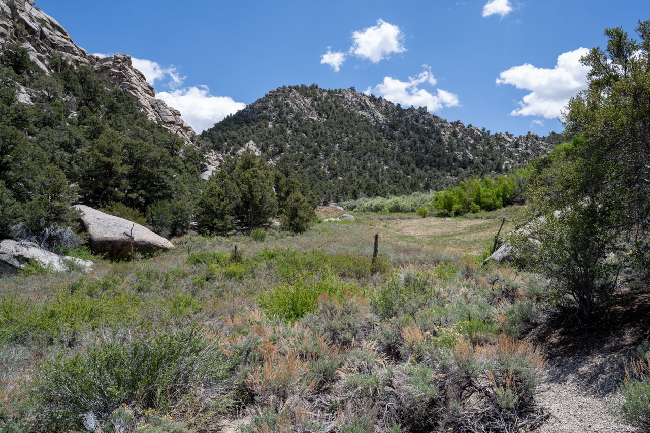
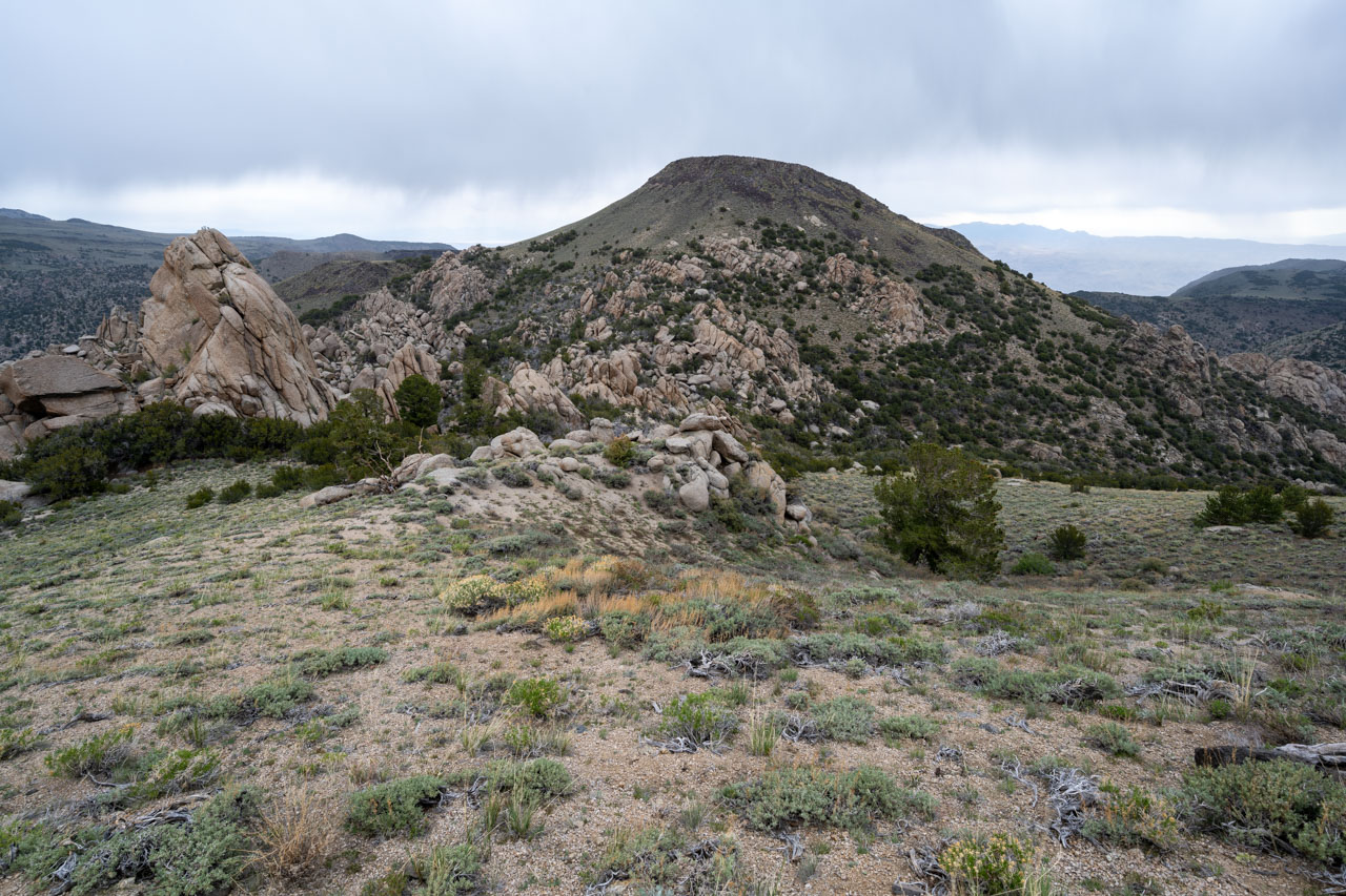
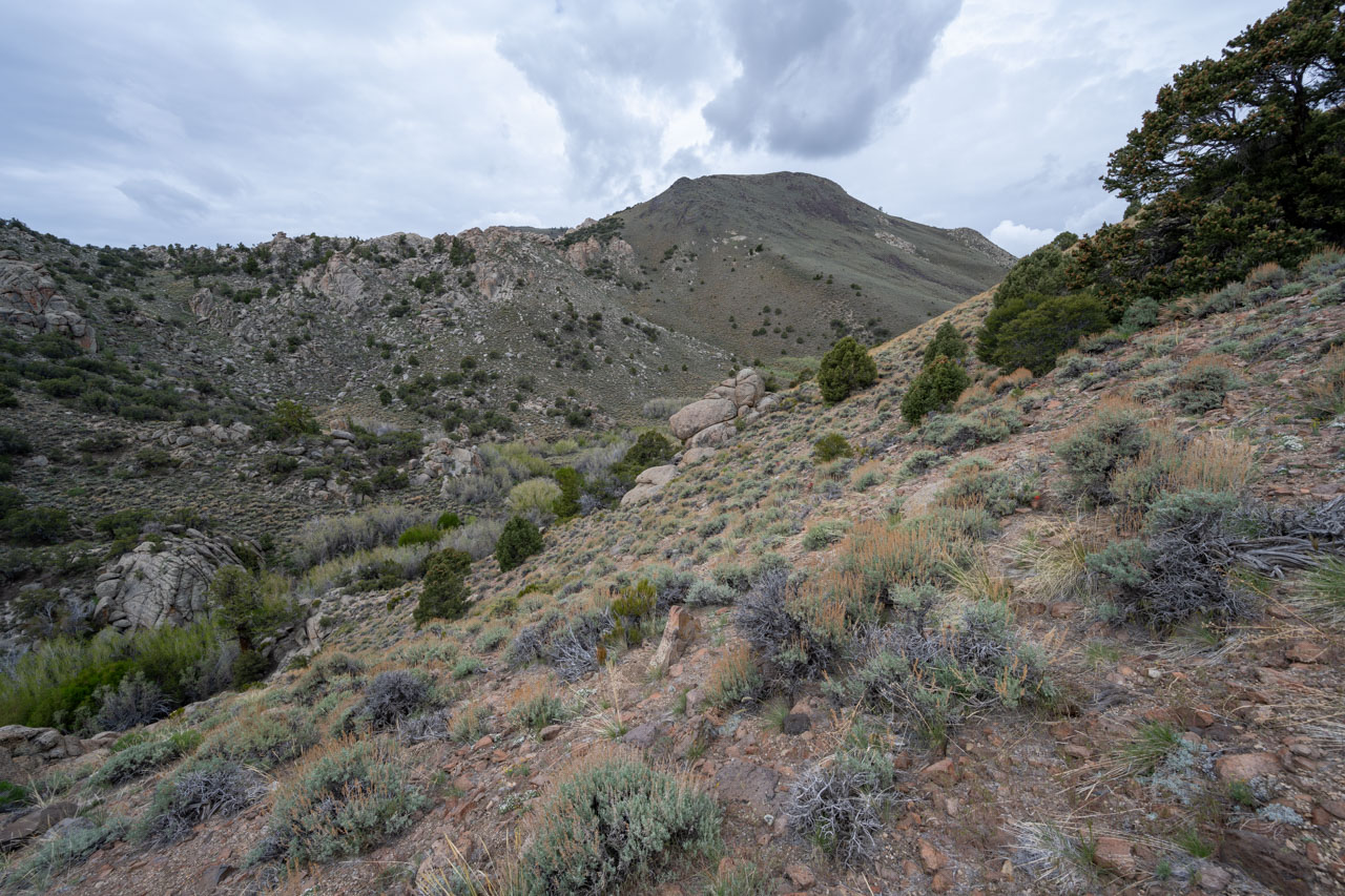
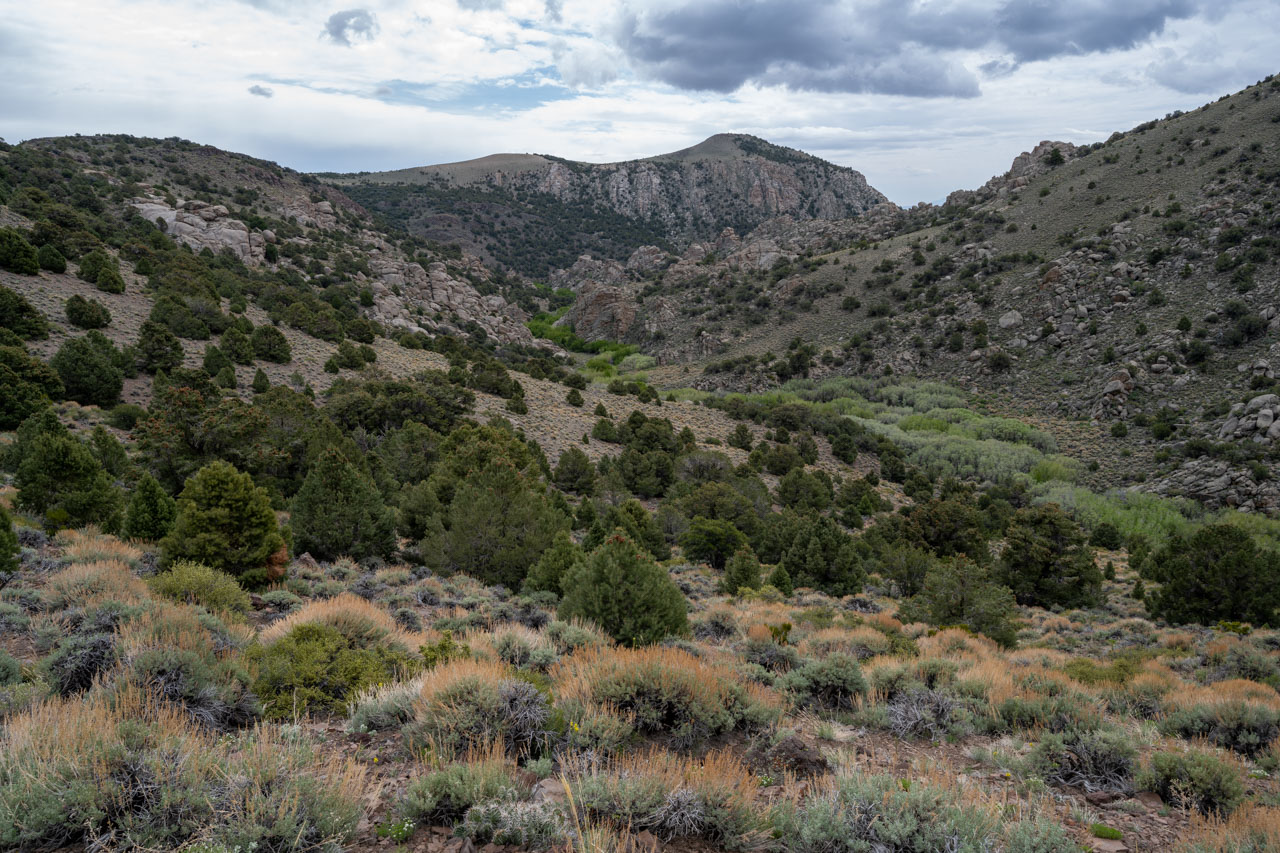
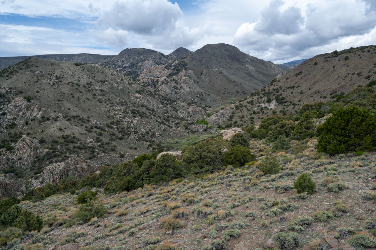
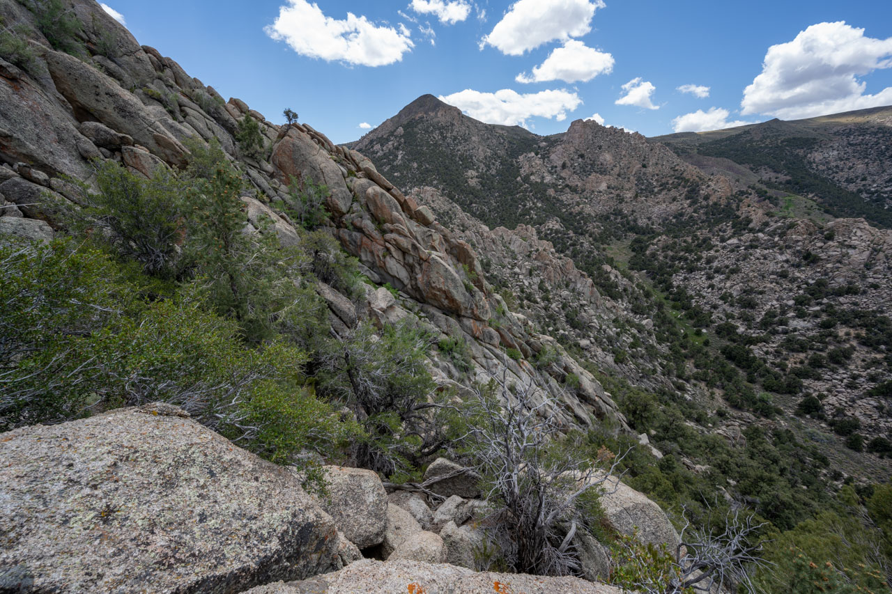
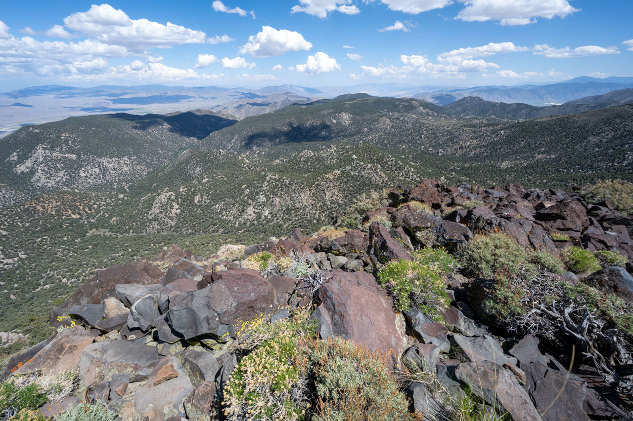
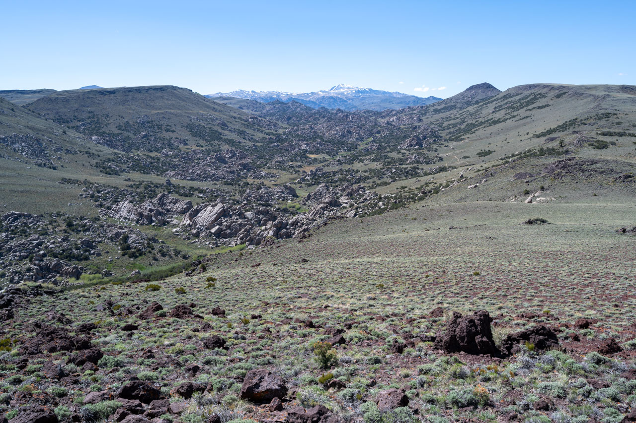
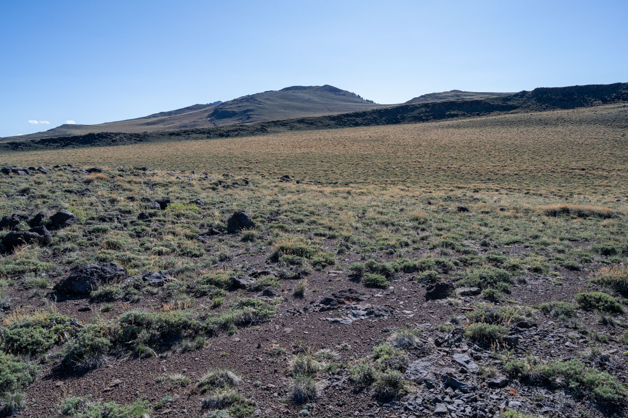
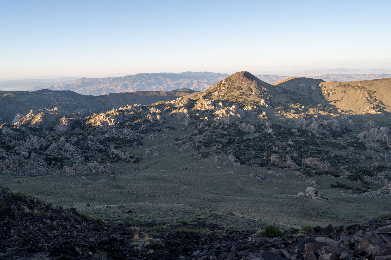
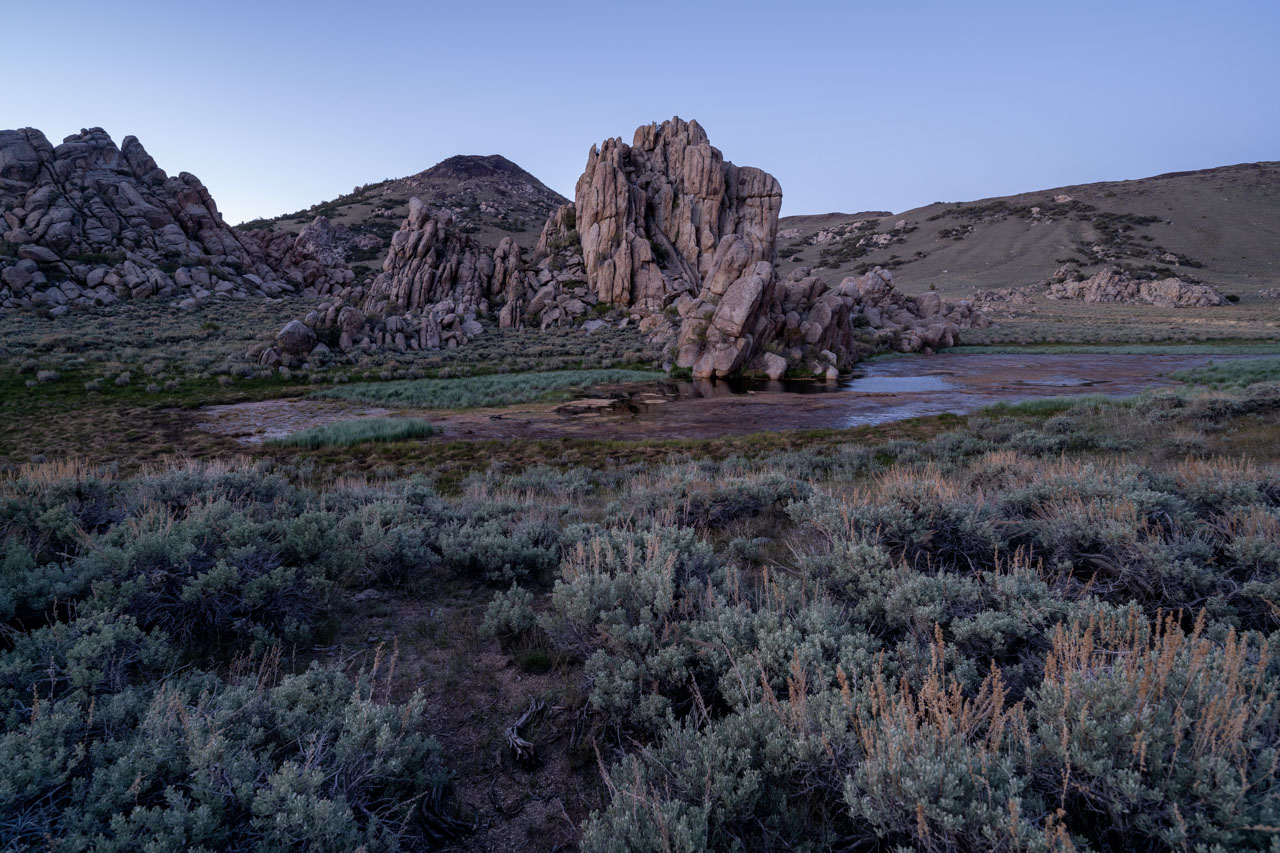
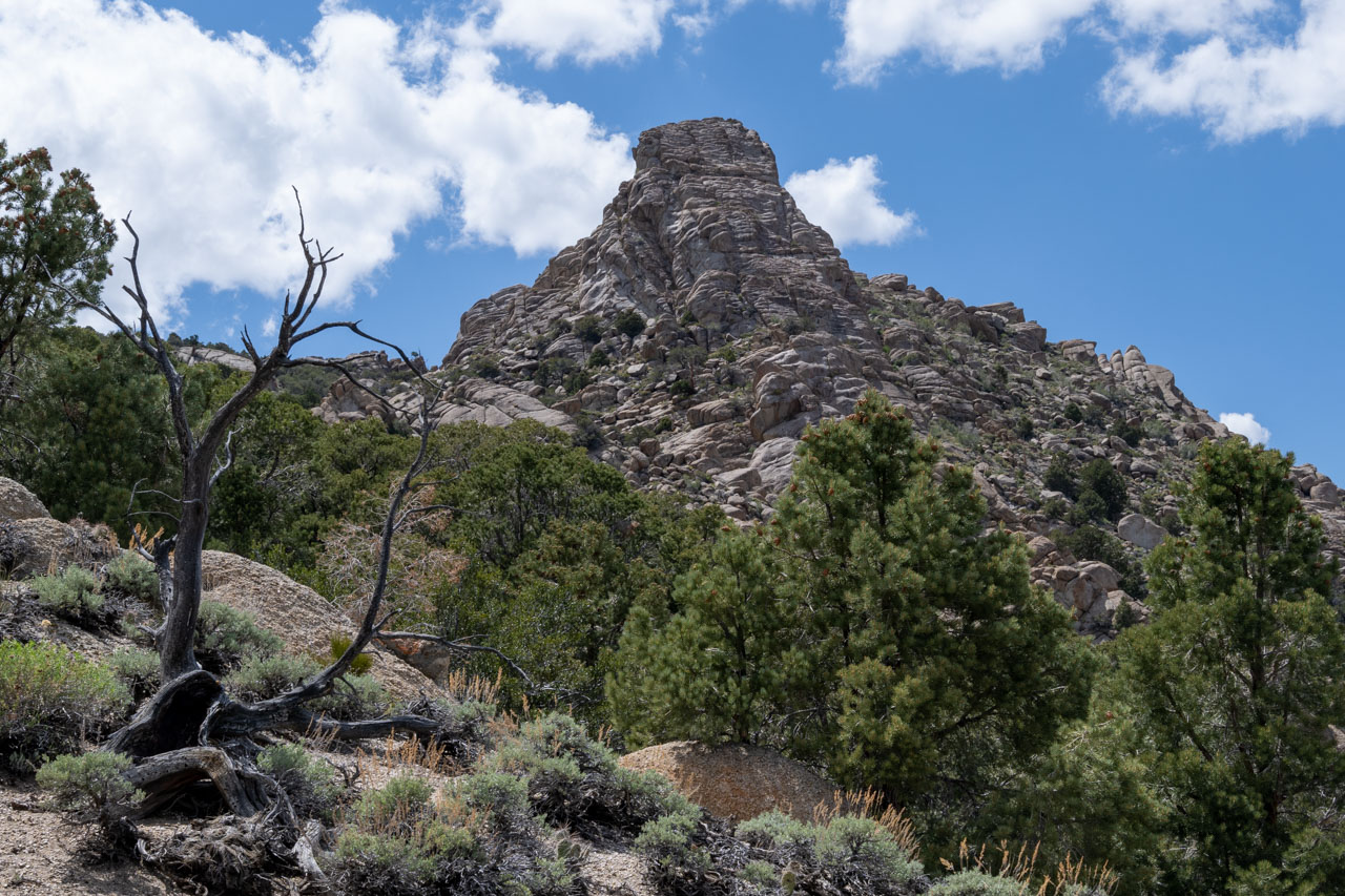
After following the creek for roughly 1.5 miles, I arrived at the small meadow below Peak 8660. There were some remnants of an old barbed wire fence in the meadow, but it appeared to have not been used in many years. A brushy scramble led toward the summit of Peak 8660. From the summit, it looked like it might be difficult to reach Iron Mountain, but I was able to avoid the difficulties by staying on the east side of the rocky outcrops. As I made my way up the north side of Iron Mountain, there was a really fun looking rock formation off to the north that I probably should have gone over to check out.
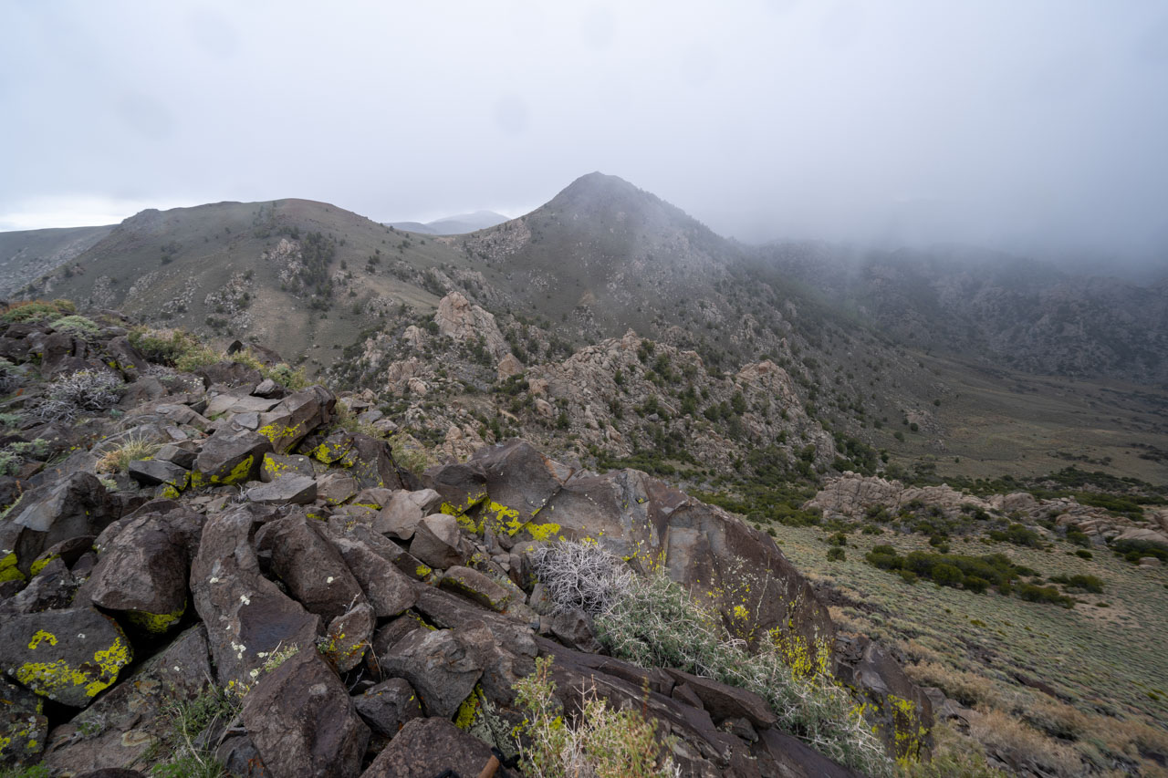
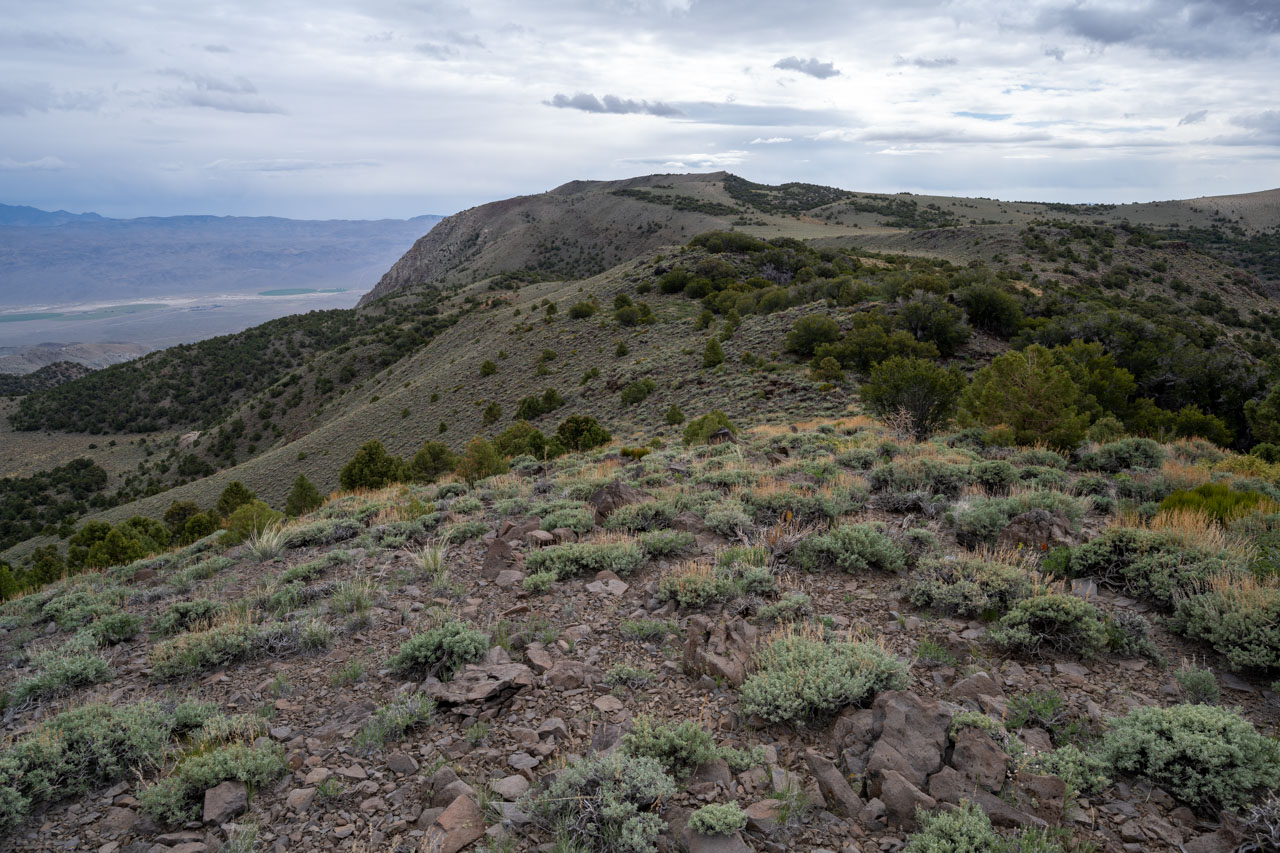
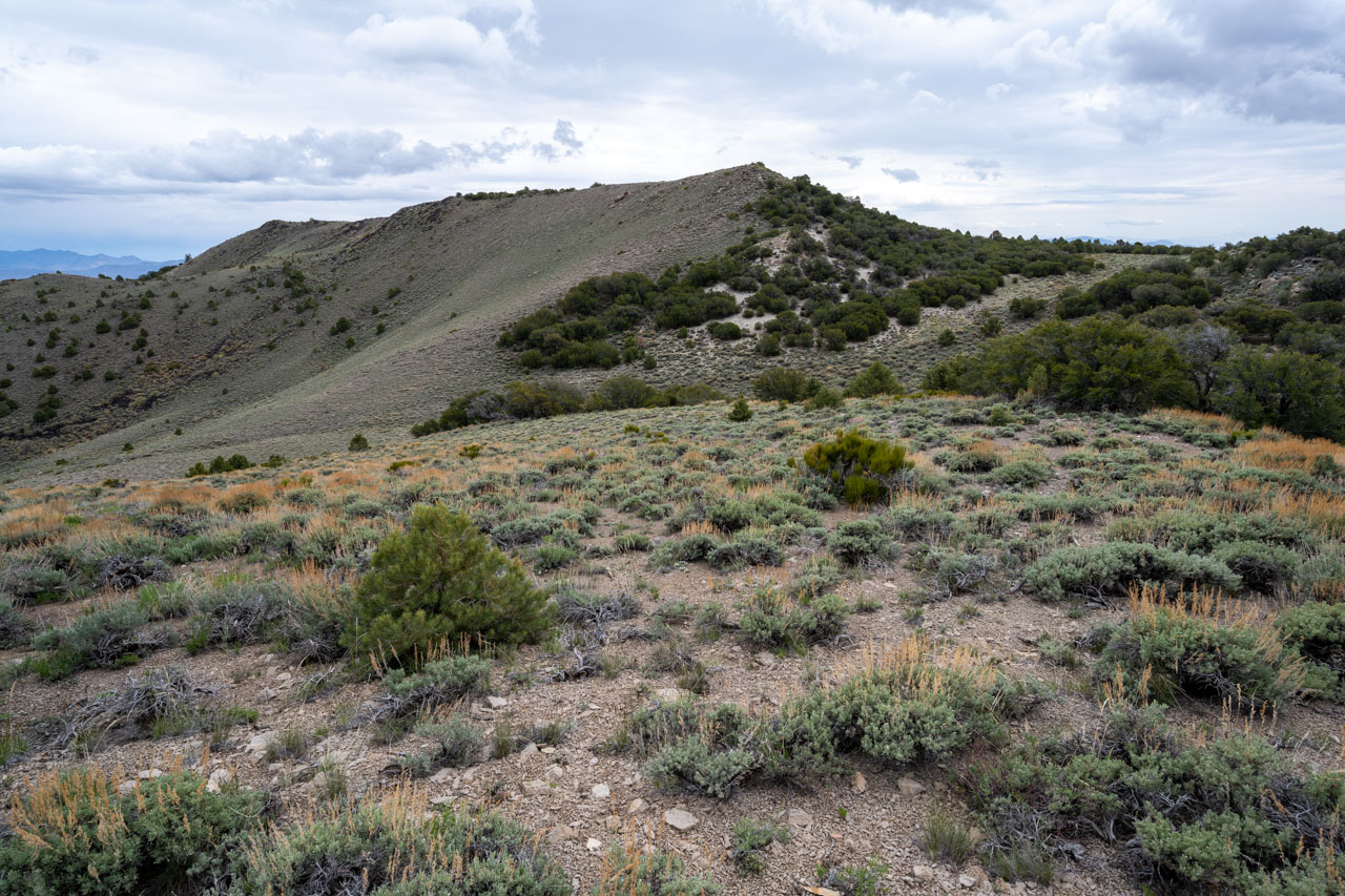
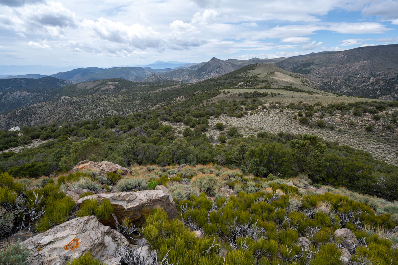
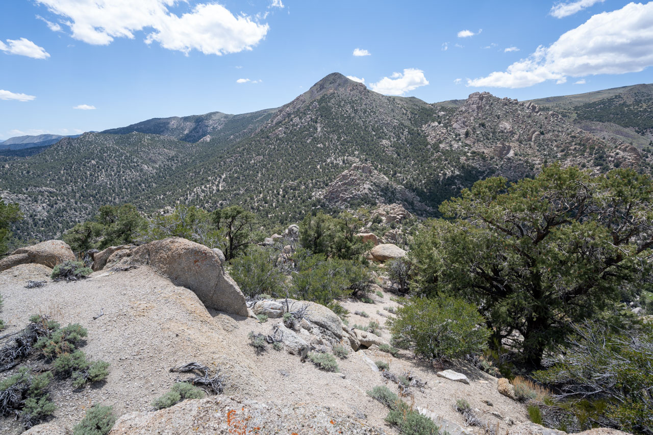
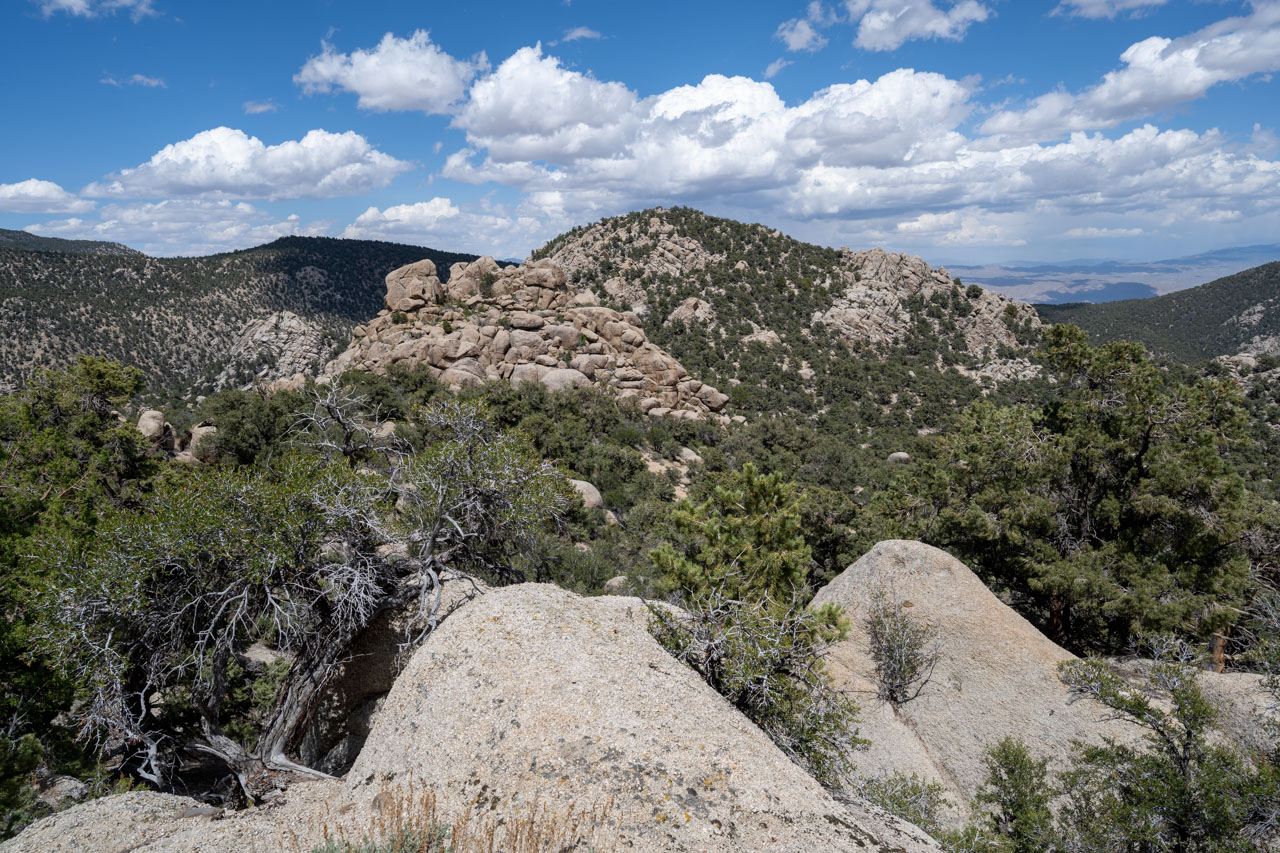
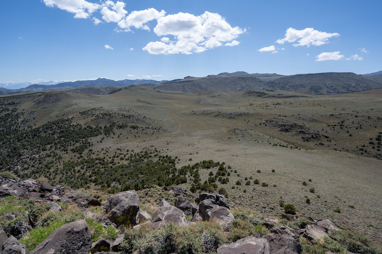
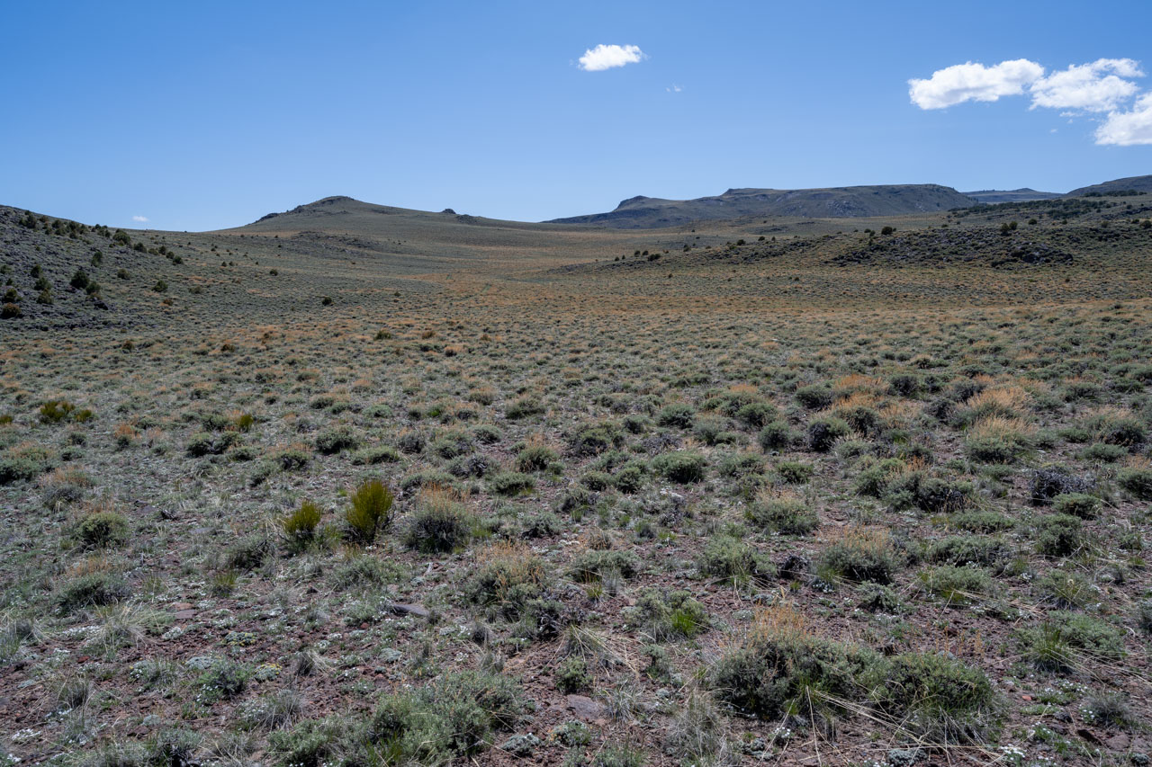
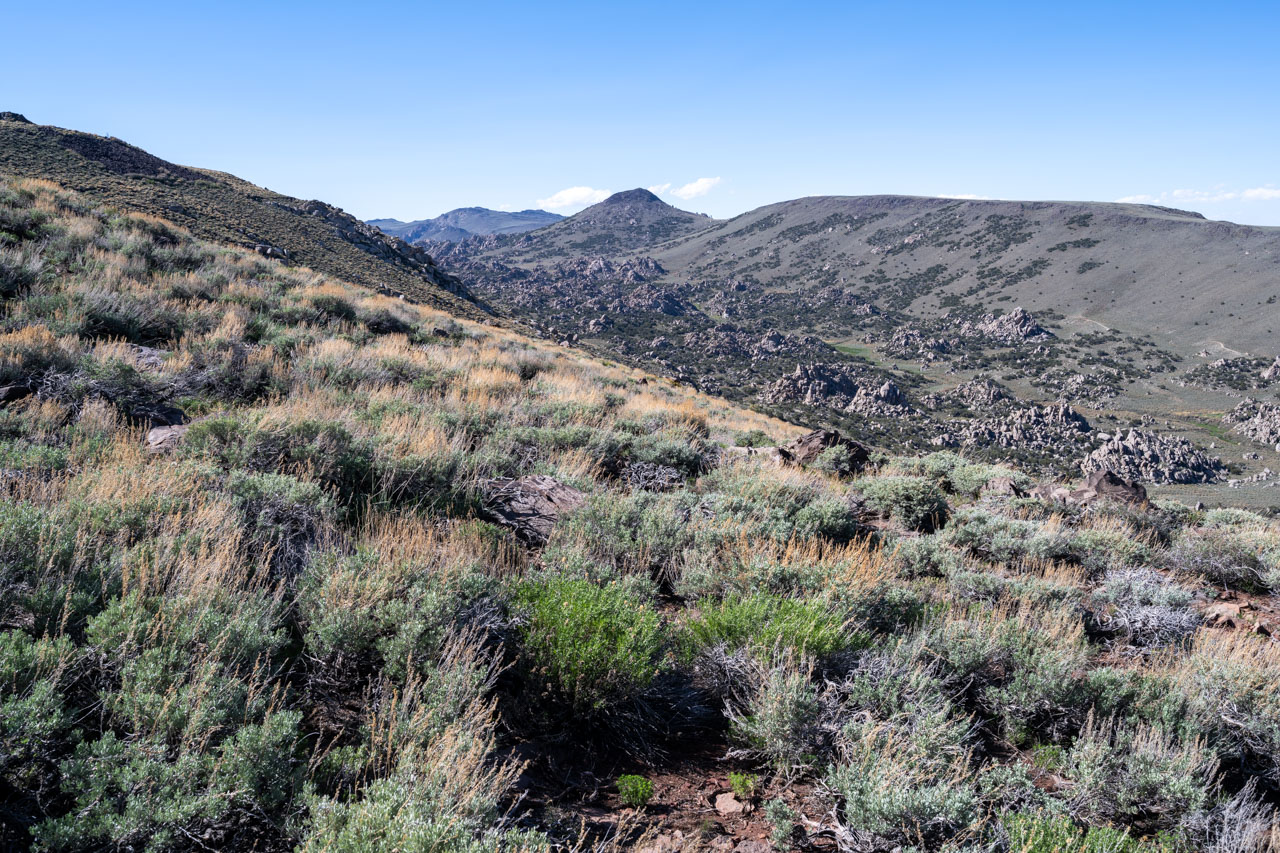
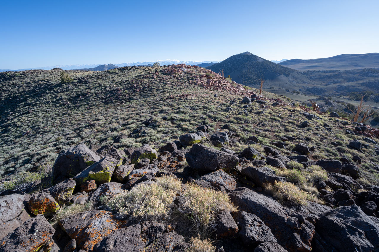
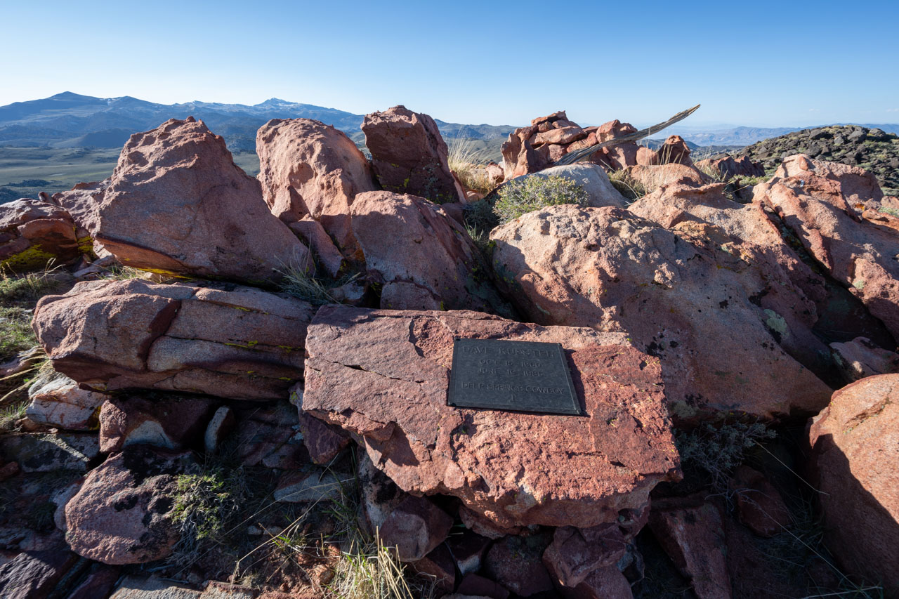
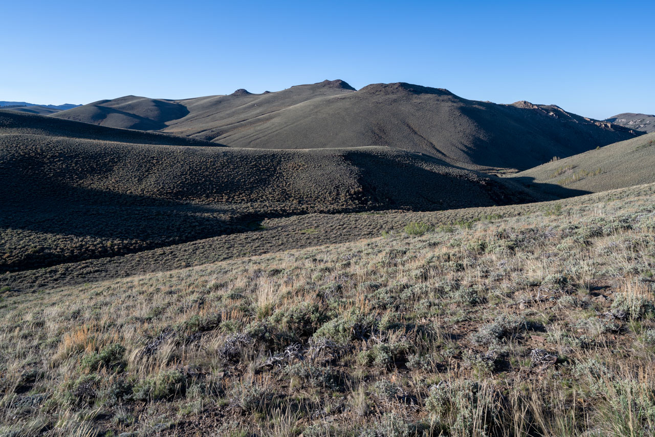
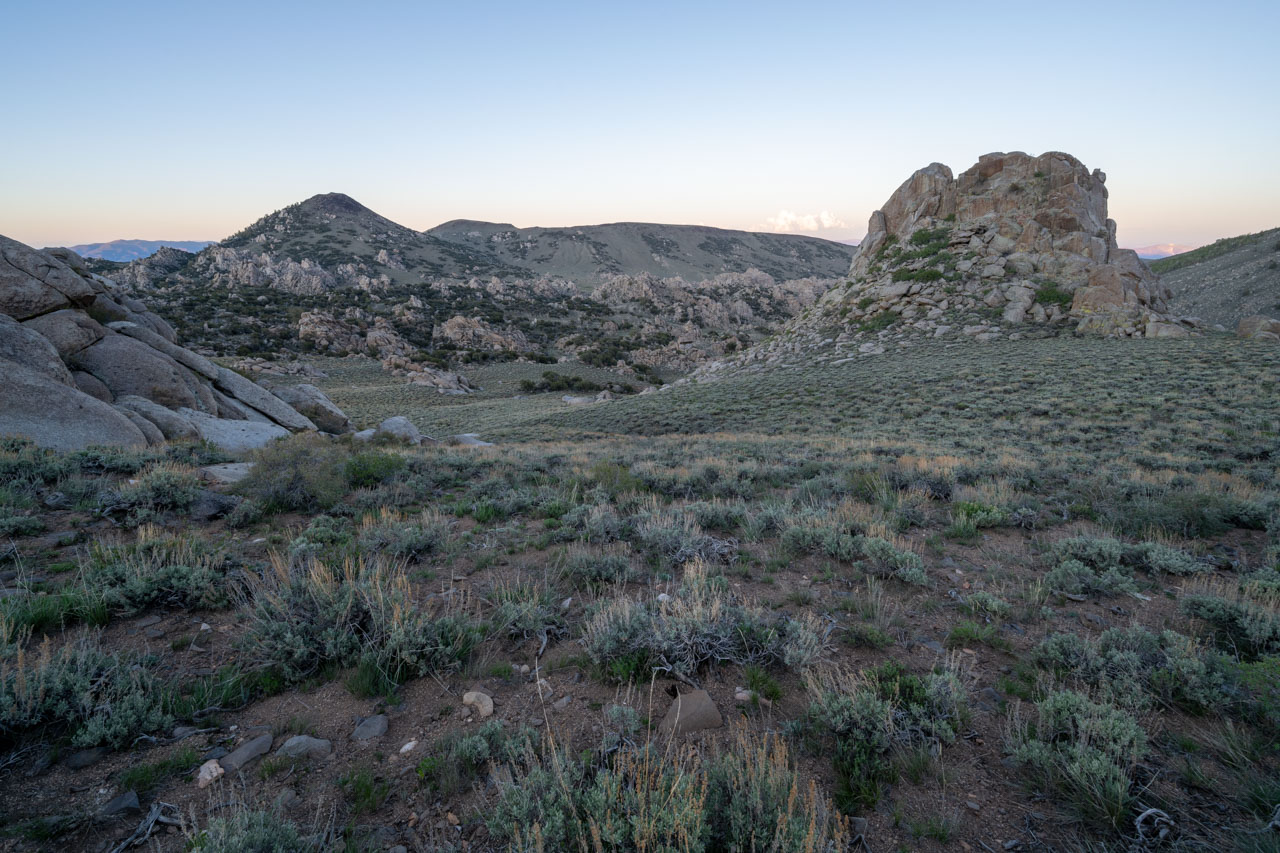
From Iron Mountain, I could see most of the route that I planned to take for the remainder of the afternoon. Sagebrush dominated the landscape, creating much easier travel to the remaining summits. Heading generally west, I passed over Sage Hen Peak, Red Peak, and the twin summits of Bucks Peak. The wind intensified as I approached Bucks Peak, and I had to lean into the wind as I approached the summit. There was a memorial to Dave Kuester, Deep Springs Cowboy, at the summit.
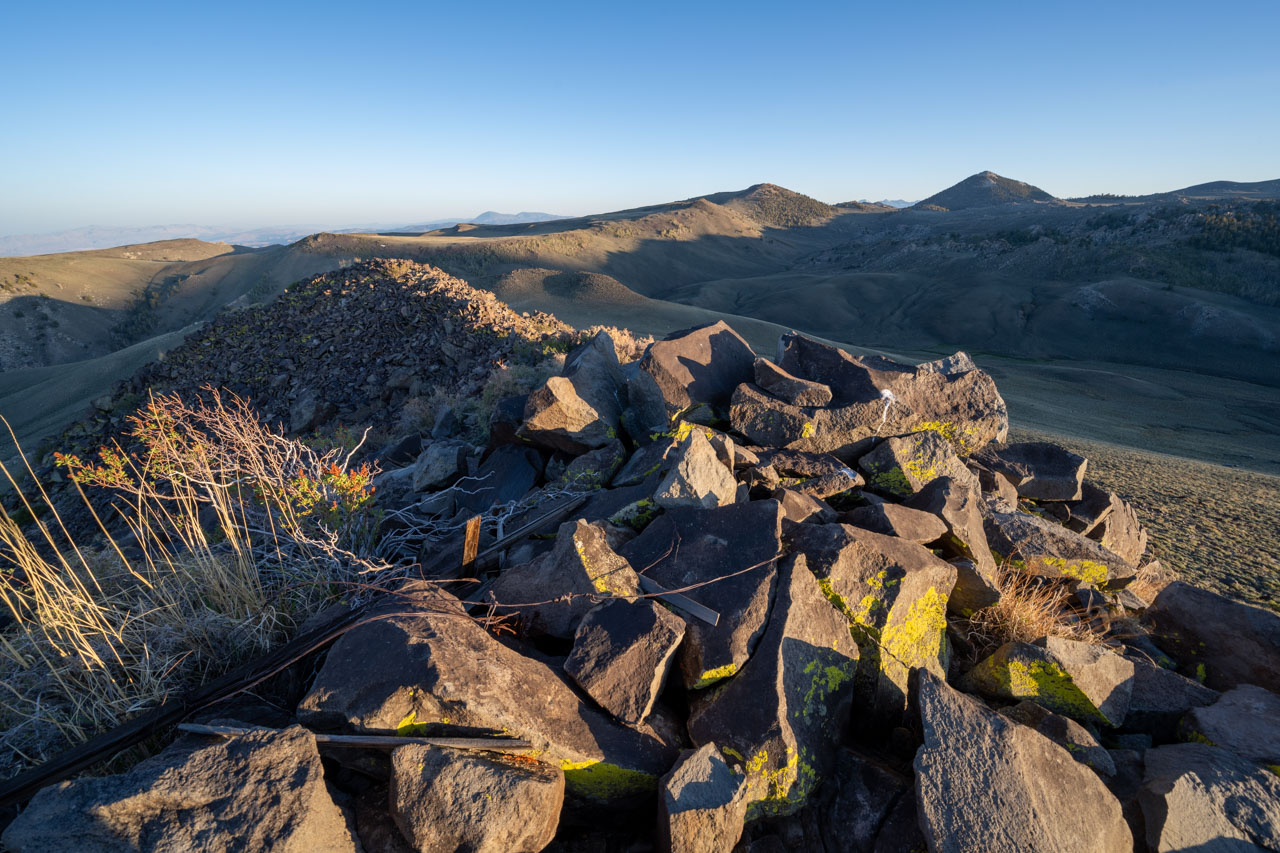
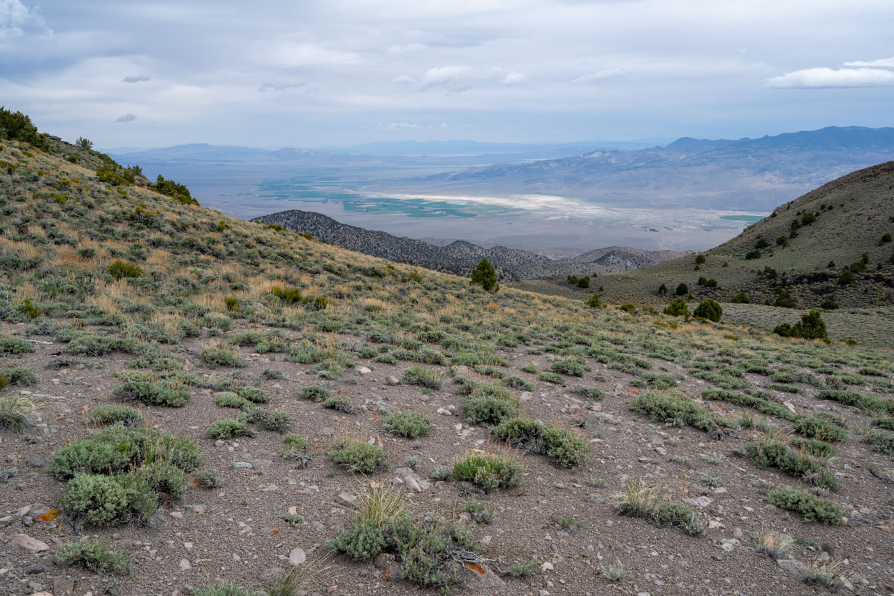
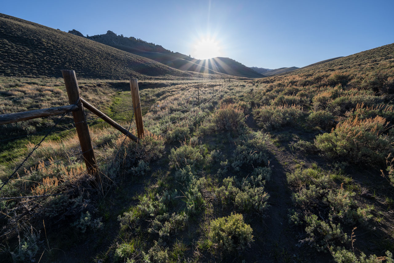
There was one peak left to complete the loop. From Bucks Peak, I descended into the canyon to the north and crossed Crooked Creek for the final time. I arrived at the summit of Peak 10460 as the sun was starting to get low in the sky. Thankfully as I dropped off the west side of the peak, I entered a wind-sheltered area, which was the first time in several hours that I was not buffeted by the wind. I passed a large spring near the cow camp before eventually returning to the car just as it was starting to get dark. I was planning another loop higher up in Cottonwood Basin the following day, so after cooking up some food, I drove back around on the 4WD road that led to McCloud Camp. I found a nice spot to camp that night along Cottonwood Creek.