17.2 Miles, 5600 Gain
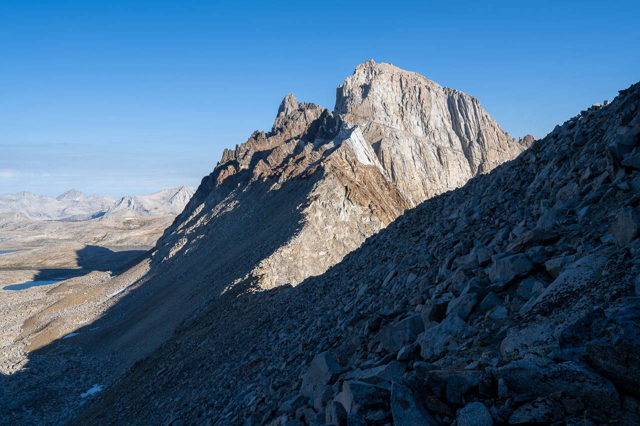
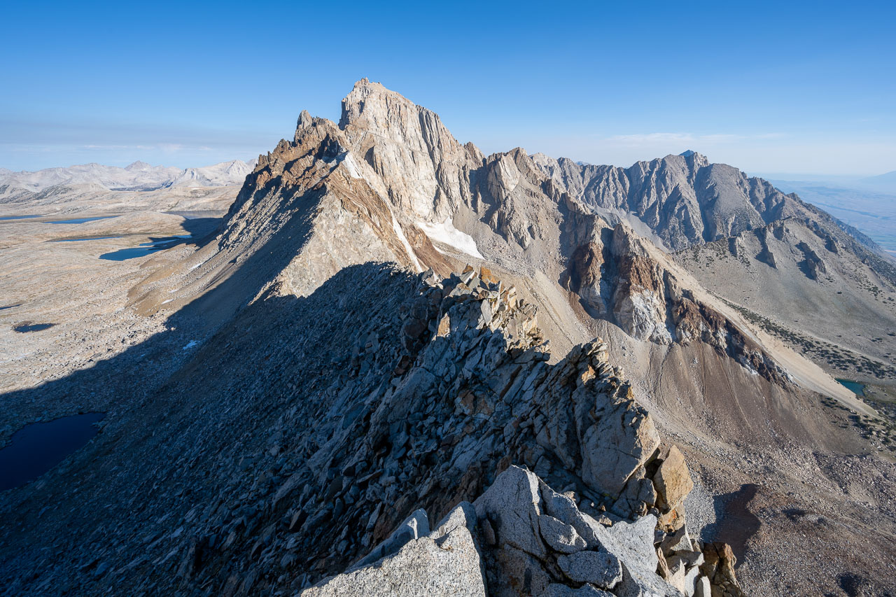
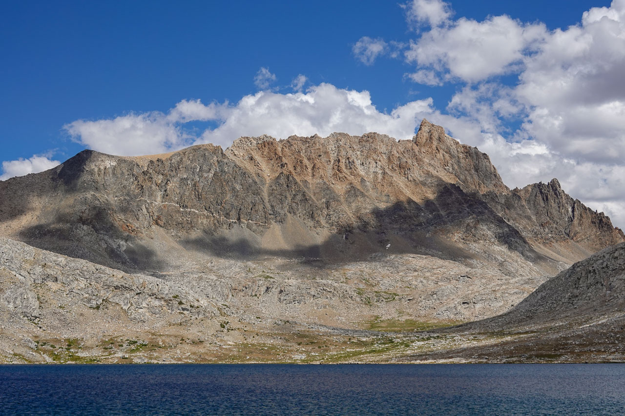
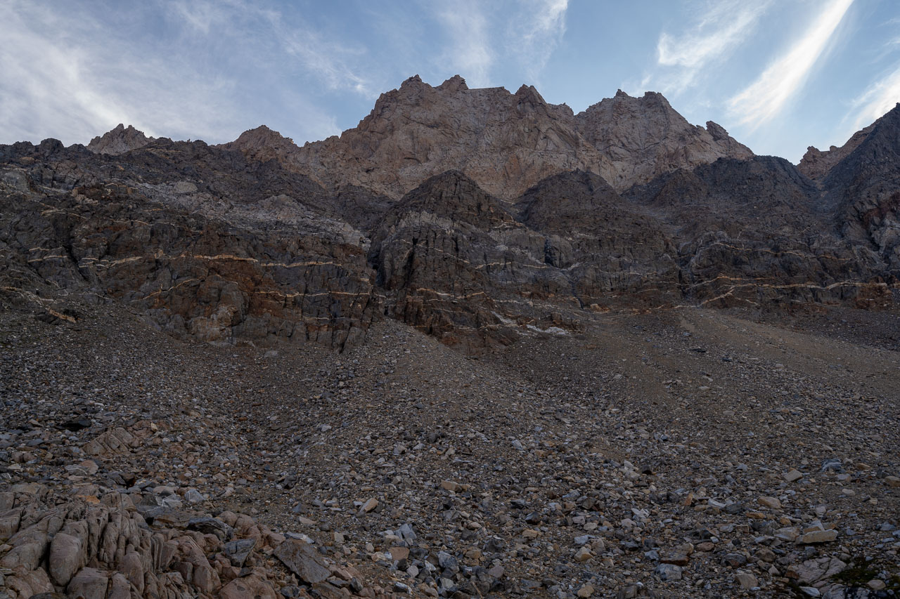
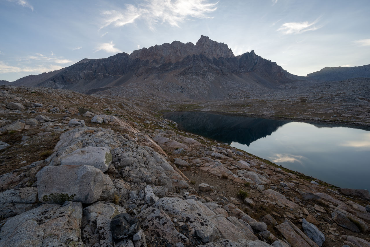
Mount Humphreys is an iconic Sierra peak rising sharply on the skyline above Humphreys Basin. At 13,986 ft, it is only a few feet shy of being the northernmost Sierra 14er, and can easily be seen from many other peaks in the area. It is also one of the steepest peaks in the country, ranked 50th overall according to LoJ. I had passed through Humphreys Basin on a few different occasions and had always wanted to spend more time exploring the area. After studying the map I picked out a handful of peaks around the Humphreys Basin that could be included as part of a three day backpacking trip, with the highlight being a climb of Mount Humphreys. My father, Bill, was interested in doing Mount Humphreys also, so he joined me for the trip.
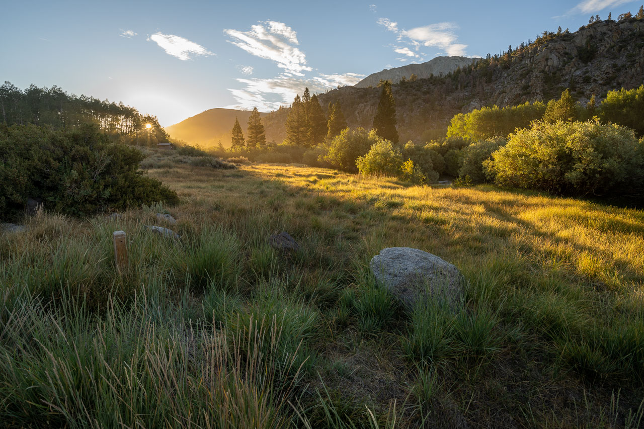
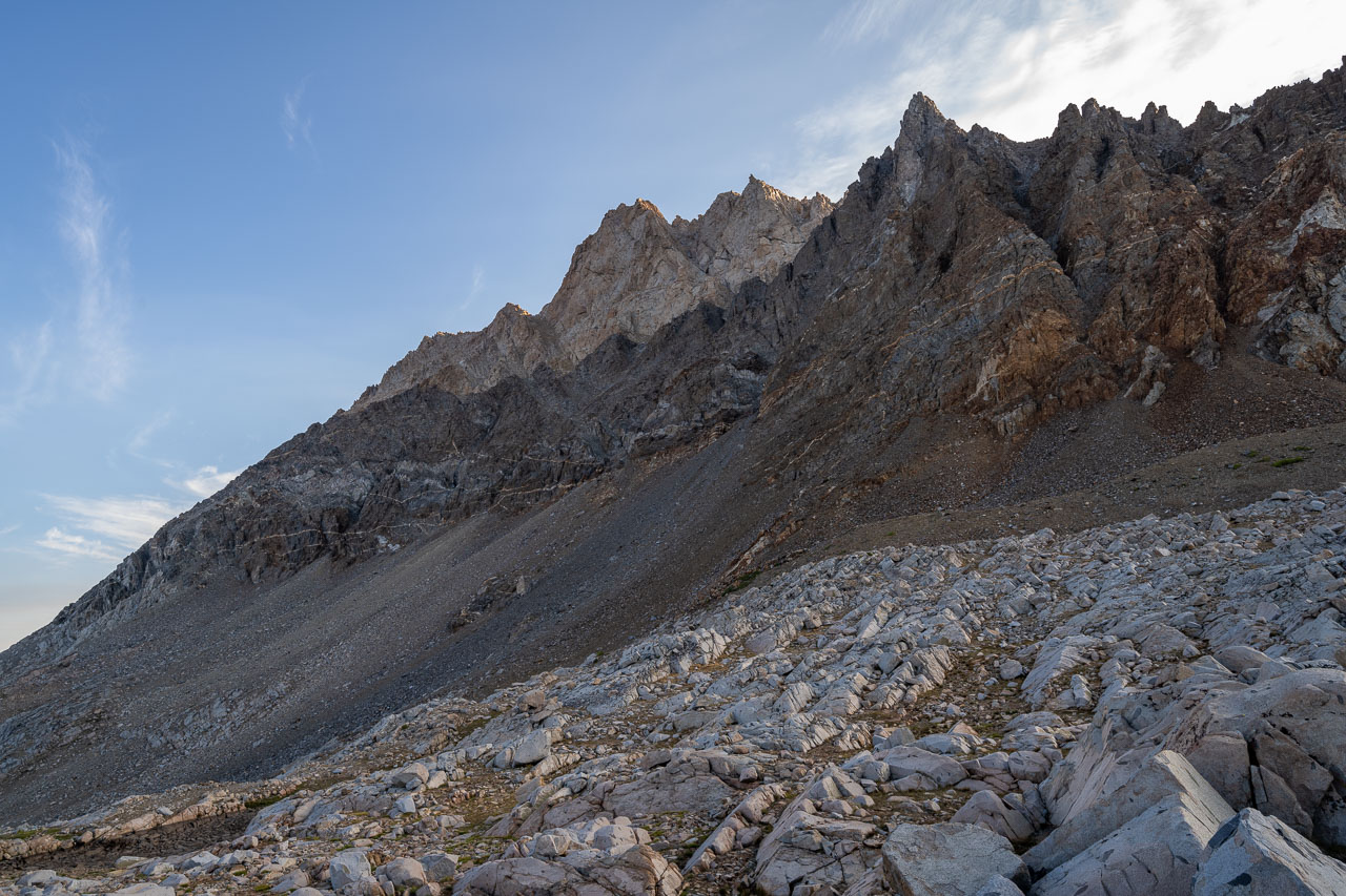
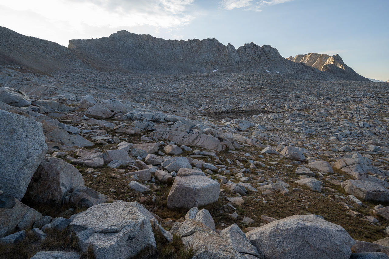
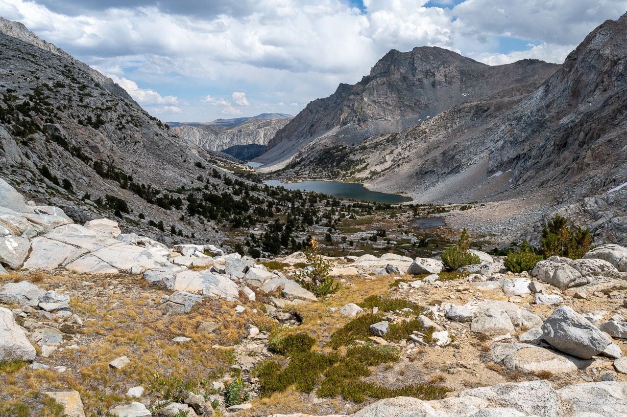
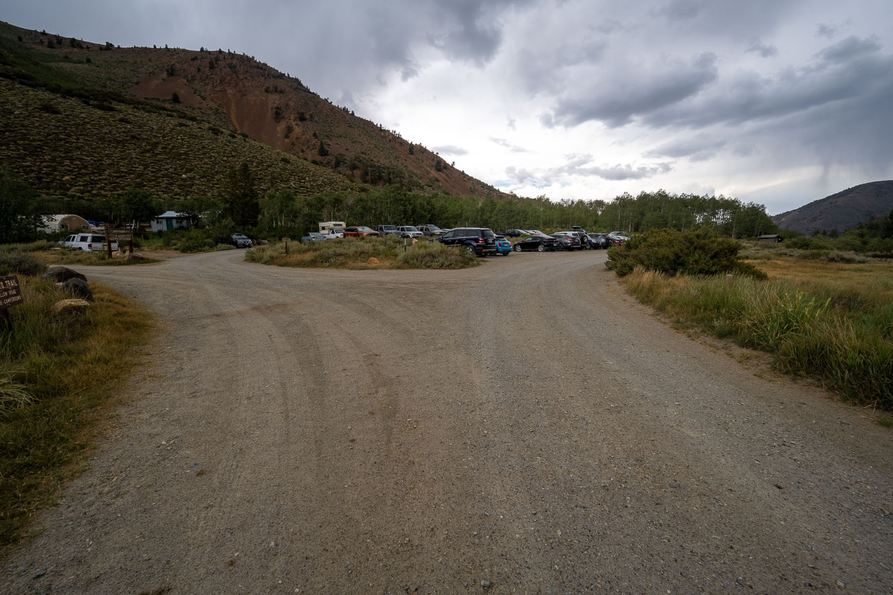
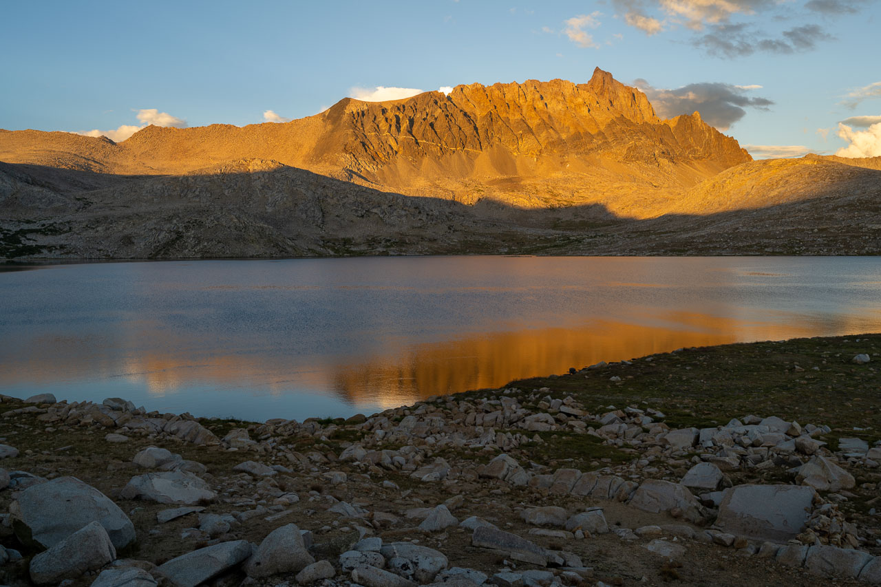
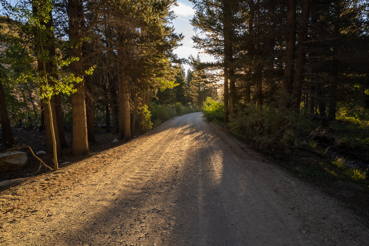
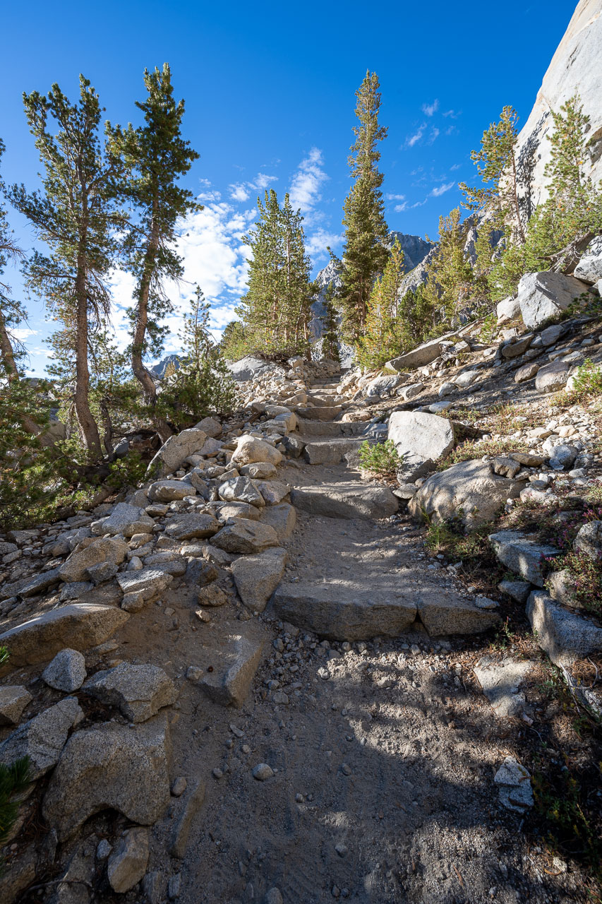
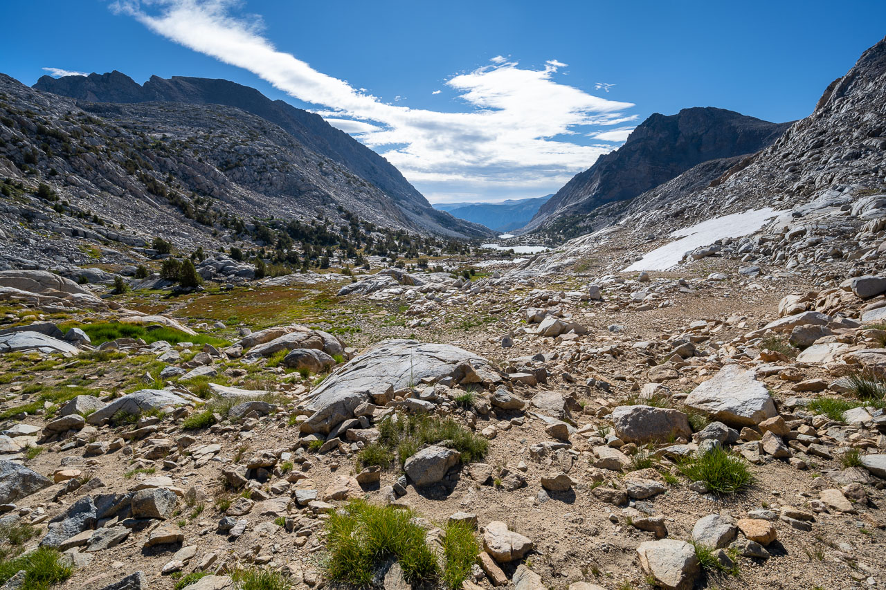
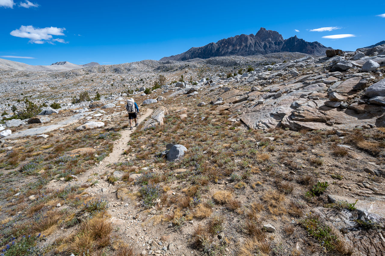
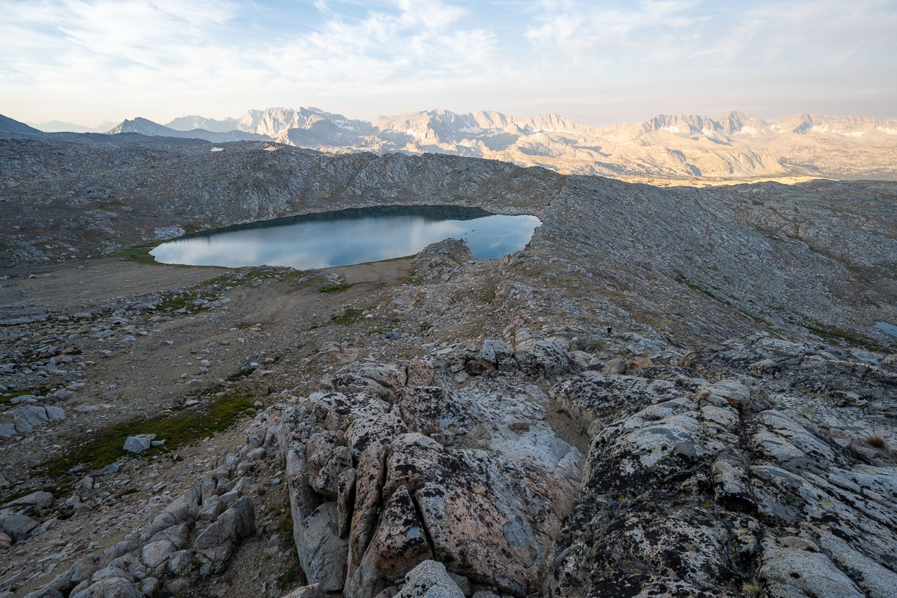
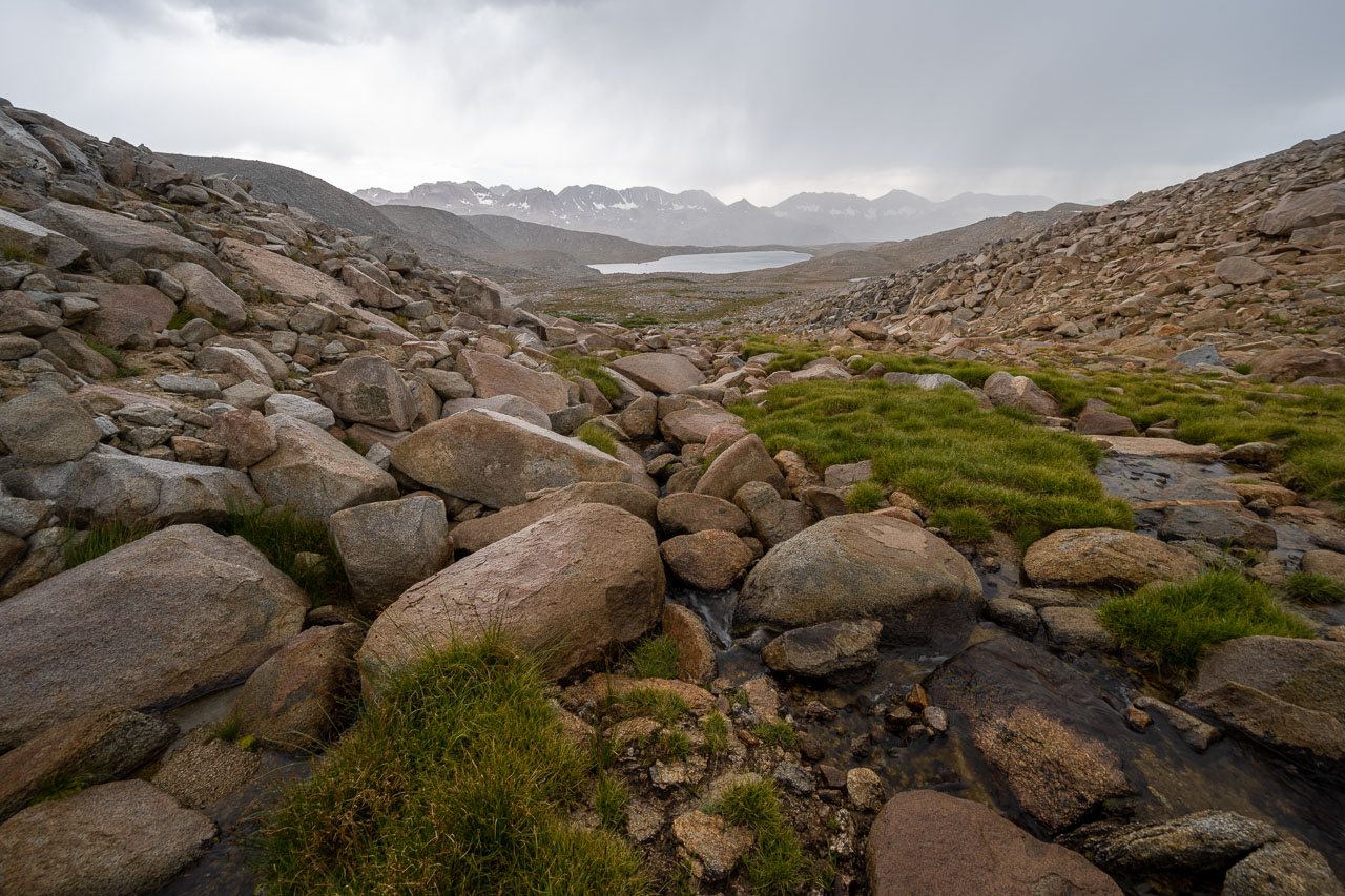
We had driven into North Lake the previous evening and car camped at the overnight parking area. In the morning we hiked up the road until we found the start of the trail near the campground. The trail passed below the impressive south face of Piute Crags and Mount Emerson, the latter of which I would climb on the final day of the trip. After a few miles of gradual uphill we reached Piute Pass, with the flat expanse of the Humphreys Basin beyond. We were planning to camp at Desolation Lake, which is the largest of the many lakes in the area. There were thunderstorms in the forecast over the next several days, so we were planning to camp on the west side of the lake, which had a nearby high ridge that we were hoping would offer some protection from lightning.
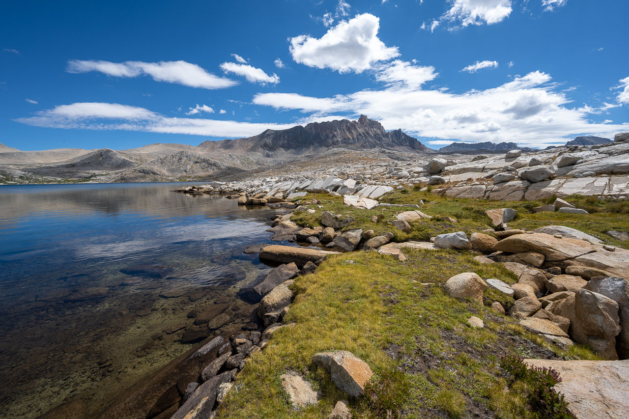
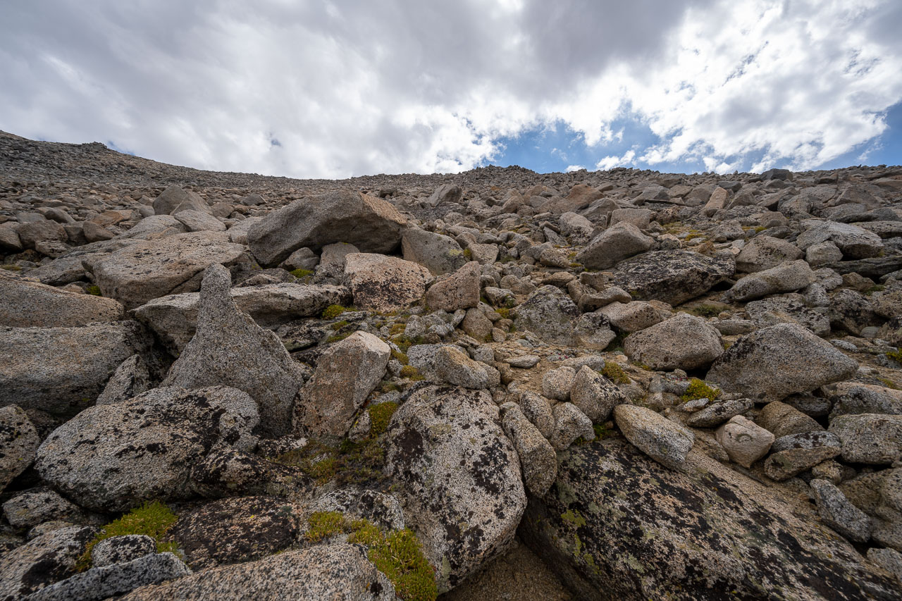
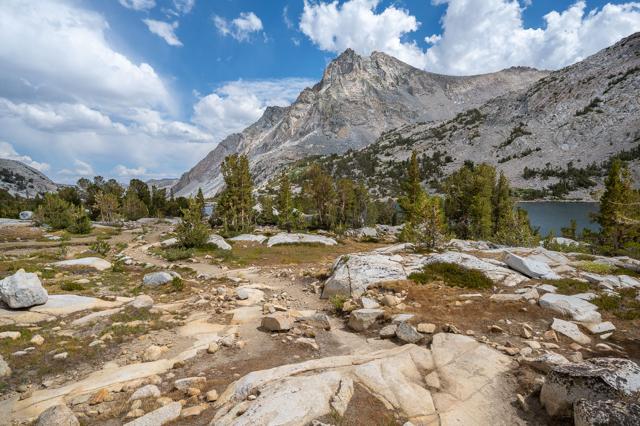
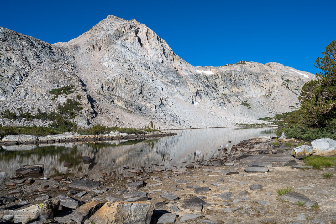
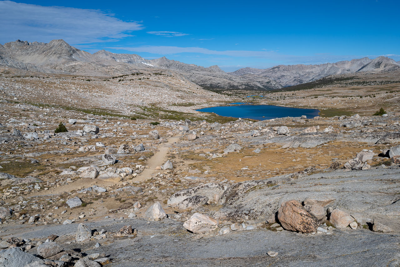
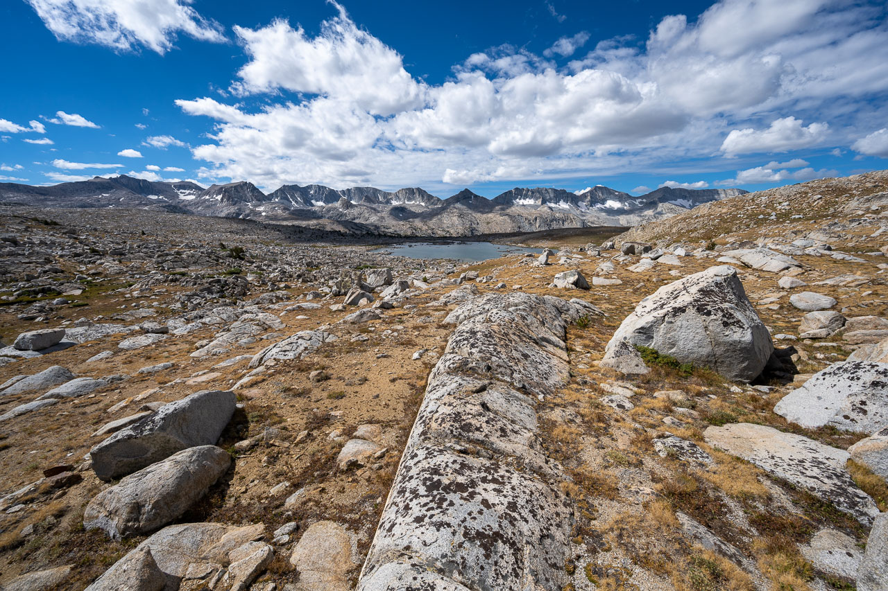
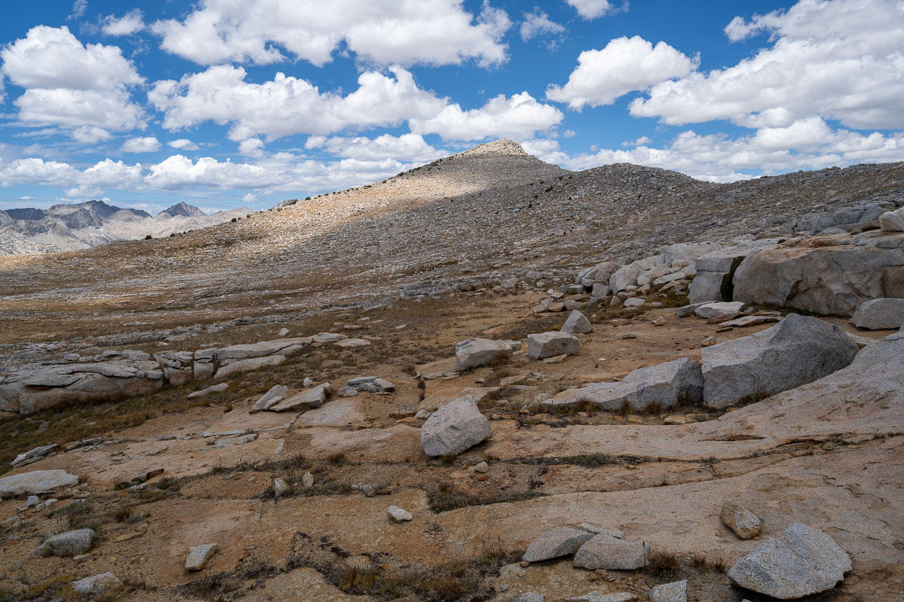
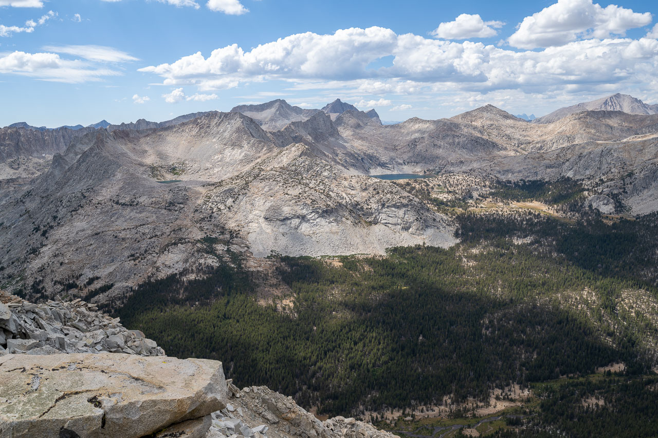
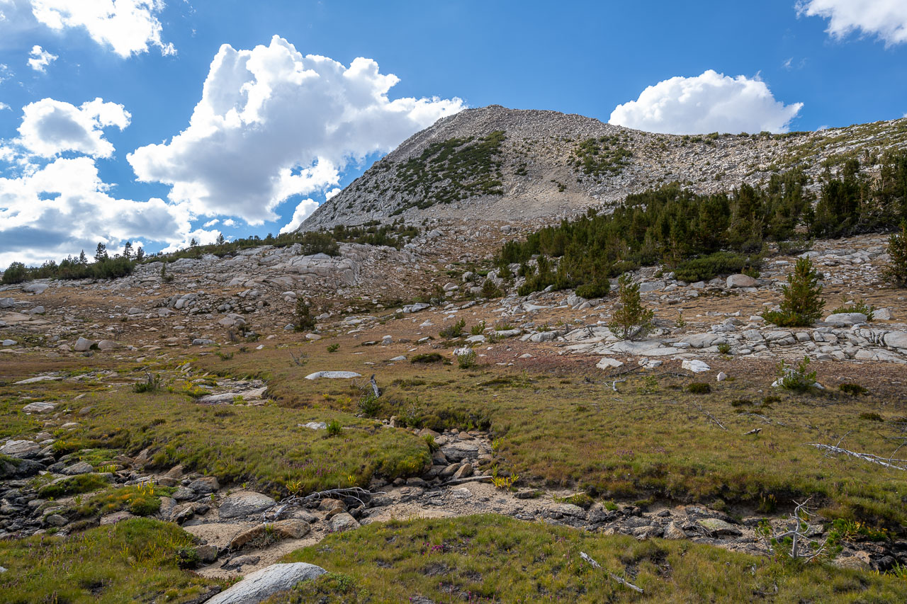
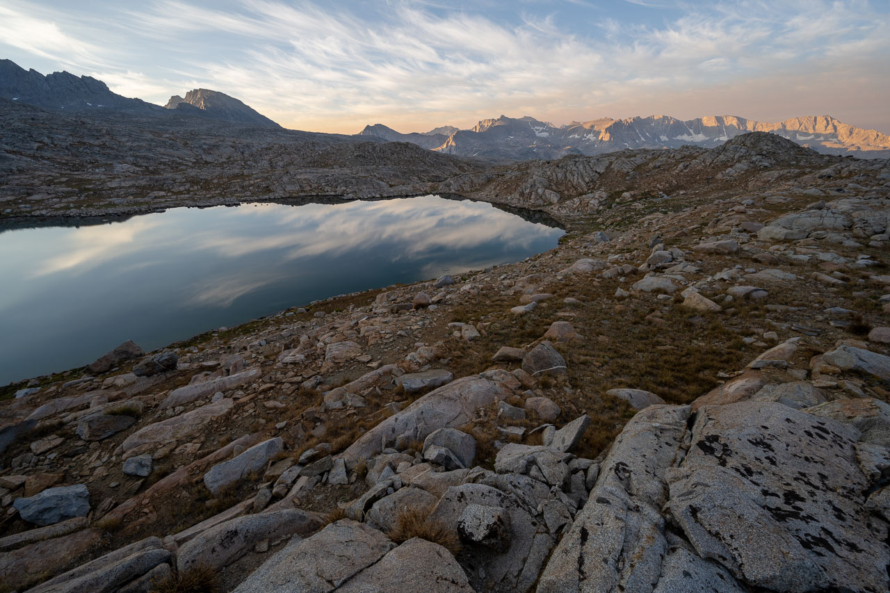
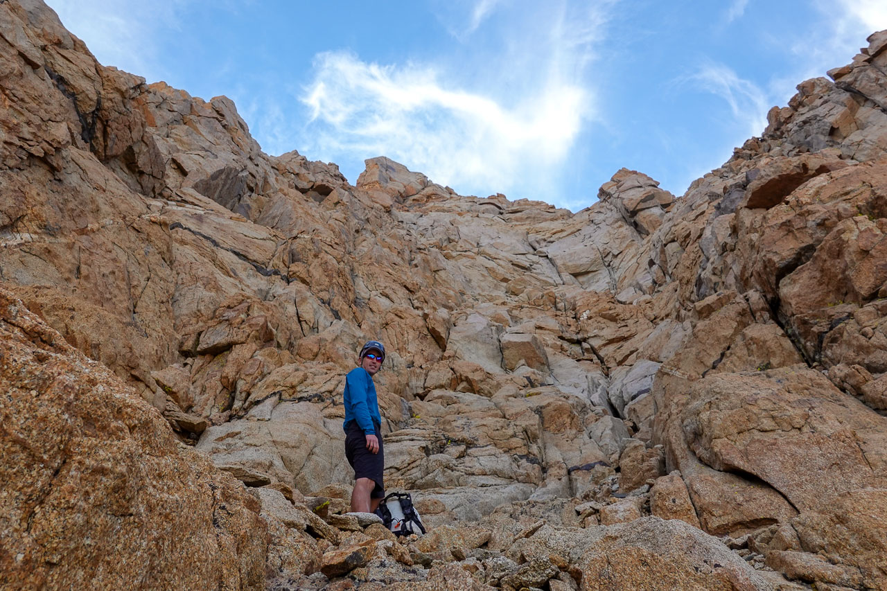
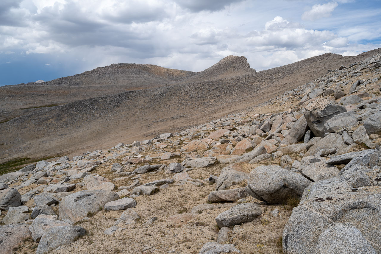
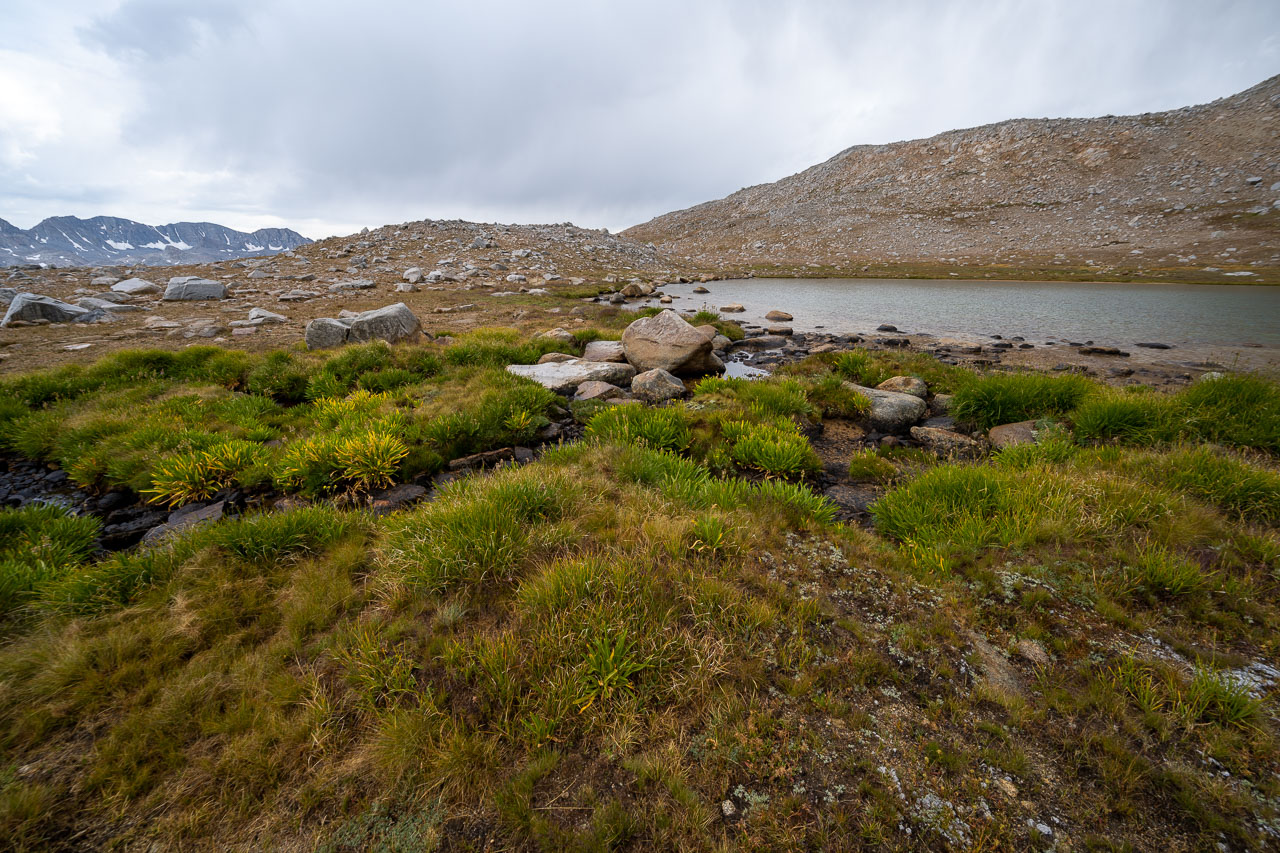
By early afternoon we found a decent campsite between Wedge Lake and Desolation Lake that looked like it would be fairly safe from lightning. After pitching the tent I set out to do a loop to a few peaks on the west side of the basin. I was mainly interested in Pilot Knob, a remote peak rising above the junction of Piute and French Canyon, but two unnamed peaks and one named point helped make the route into a loop.
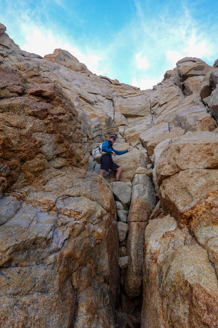
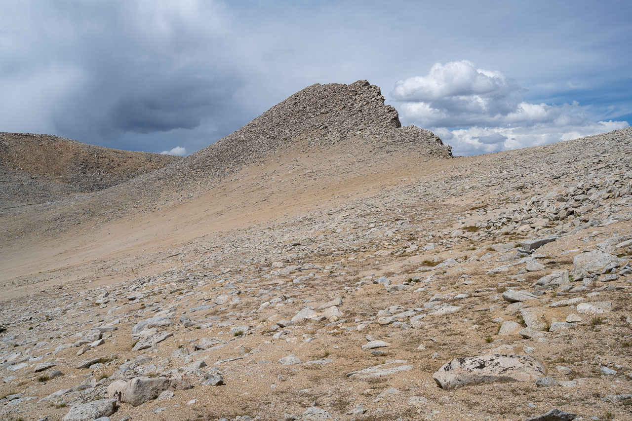
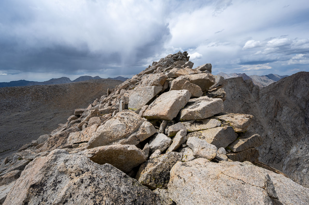
The afternoon thunderclouds were already starting to build as I made my way toward the first unnamed peak, Peak 12225. I may have actually climbed this peak a few years ago when I did the Sierra High Route, but if I did so it was only by accident. When I got to the summit, I found that many of the entries were from other people doing the High Route. The peak did offer a nice view of the many lakes to the north and west, including Paris Lake that I had camped at when doing the High Route. After signing into the register I continued west toward Pilot Knob. Along the way I passed over Peak 12140, which had a summit register from the Sierra Challenge the previous year.

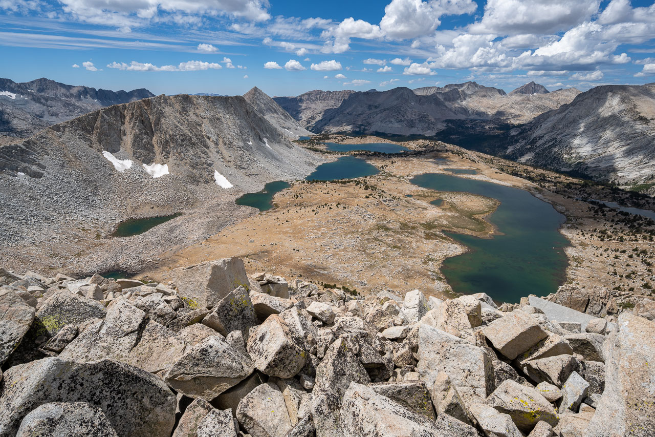
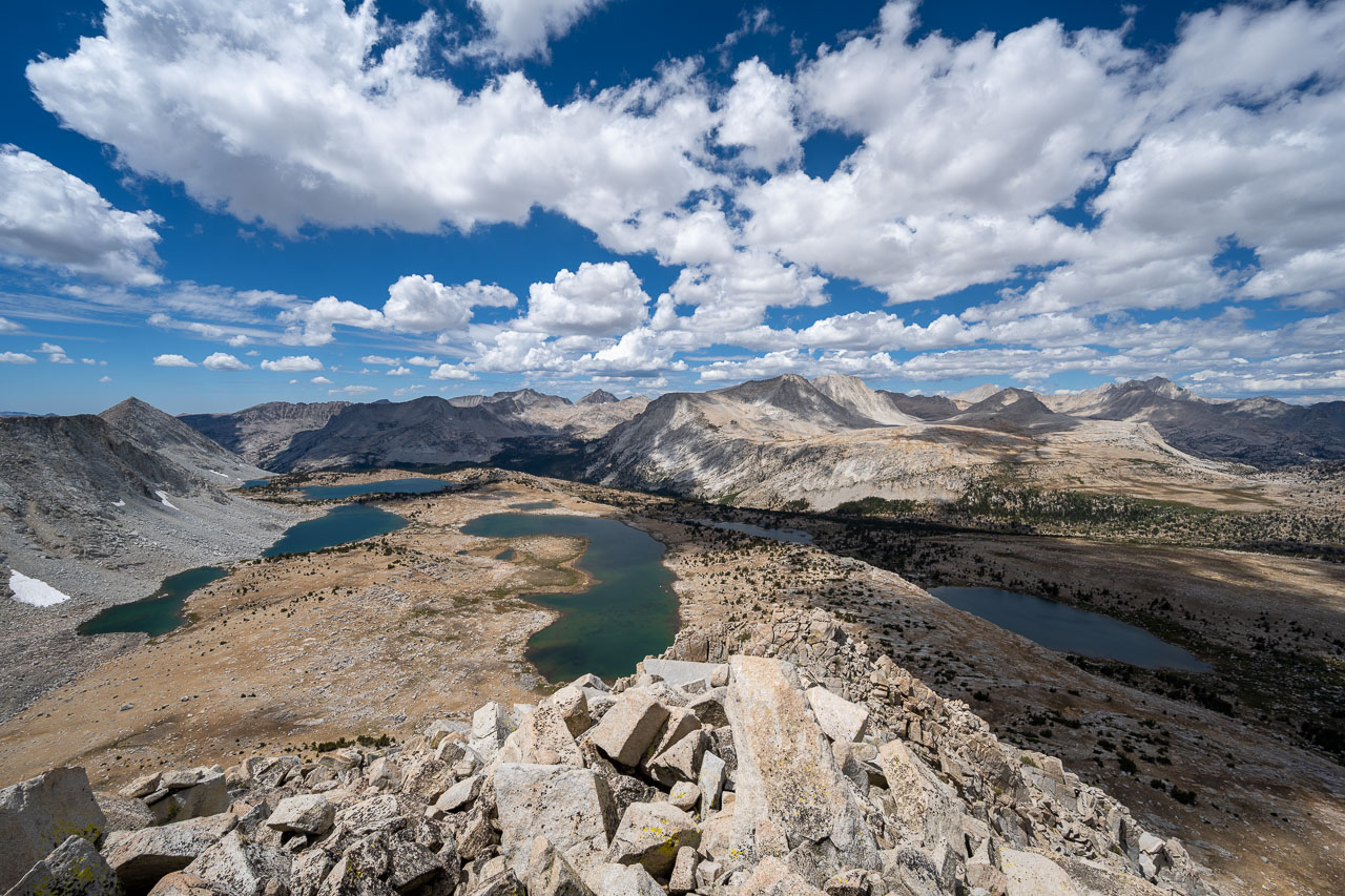
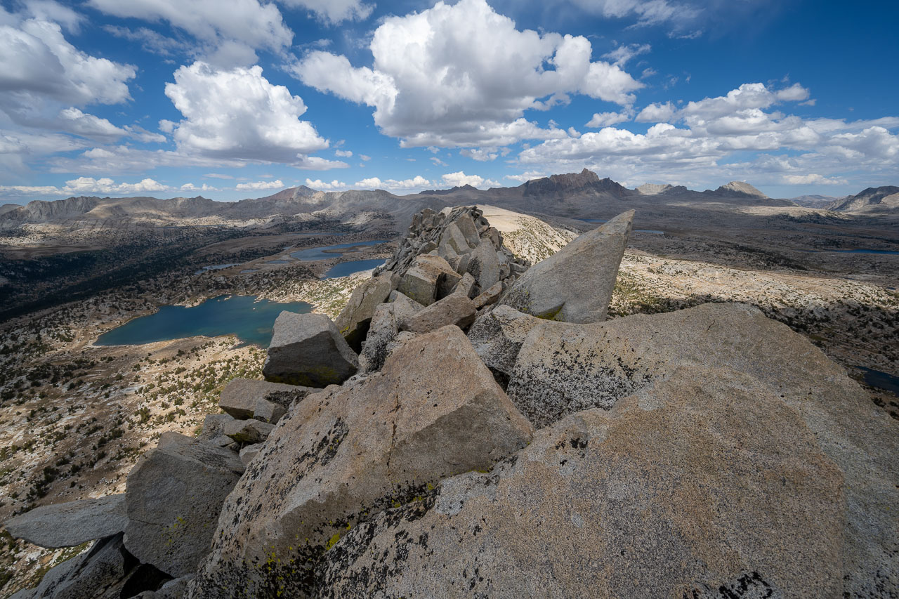
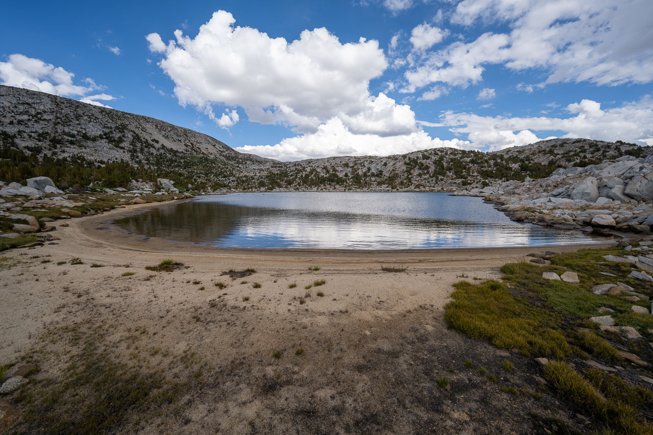
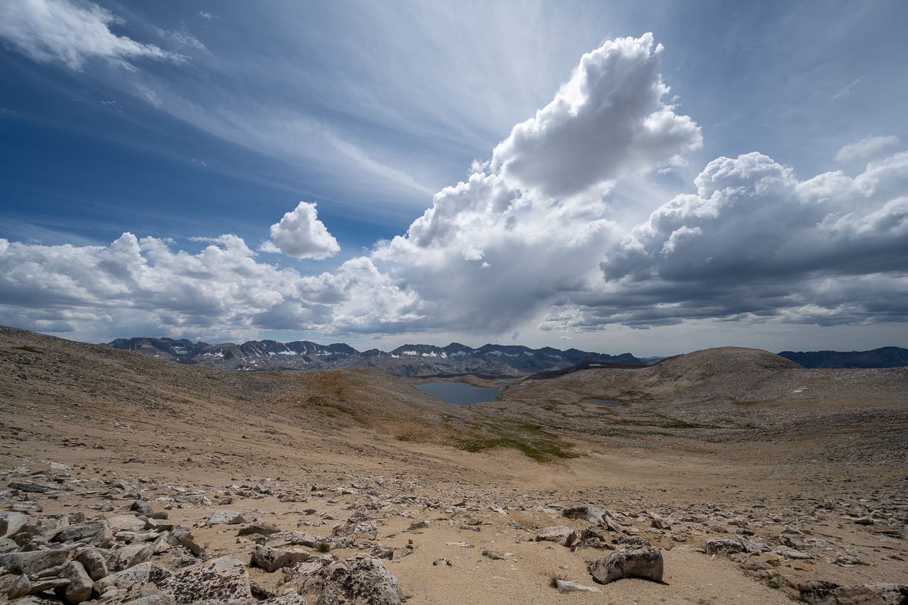
By the time I reached Pilot Knob it looked like it would start raining soon. I spent some time enjoying the view of Piute Canyon and the Glacier Divide, then started down to Knob Lake on the south side of the peak. Some pleasant open cross country terrain brought me over to Sky Point. Later, after I got home, I learned that this point is named after SSgt Sky Mote, who was killed in Afghanistan in August 2012. There is also a memorial bridge along Highway 50 that is dedicated to him, which I have driven by many times. I went over Sky Point and a nearby competing highpoint, but didn’t find a summit register or any sort of memorial.
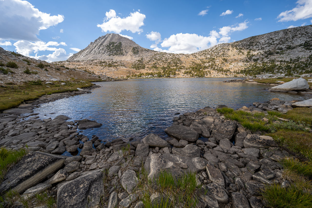
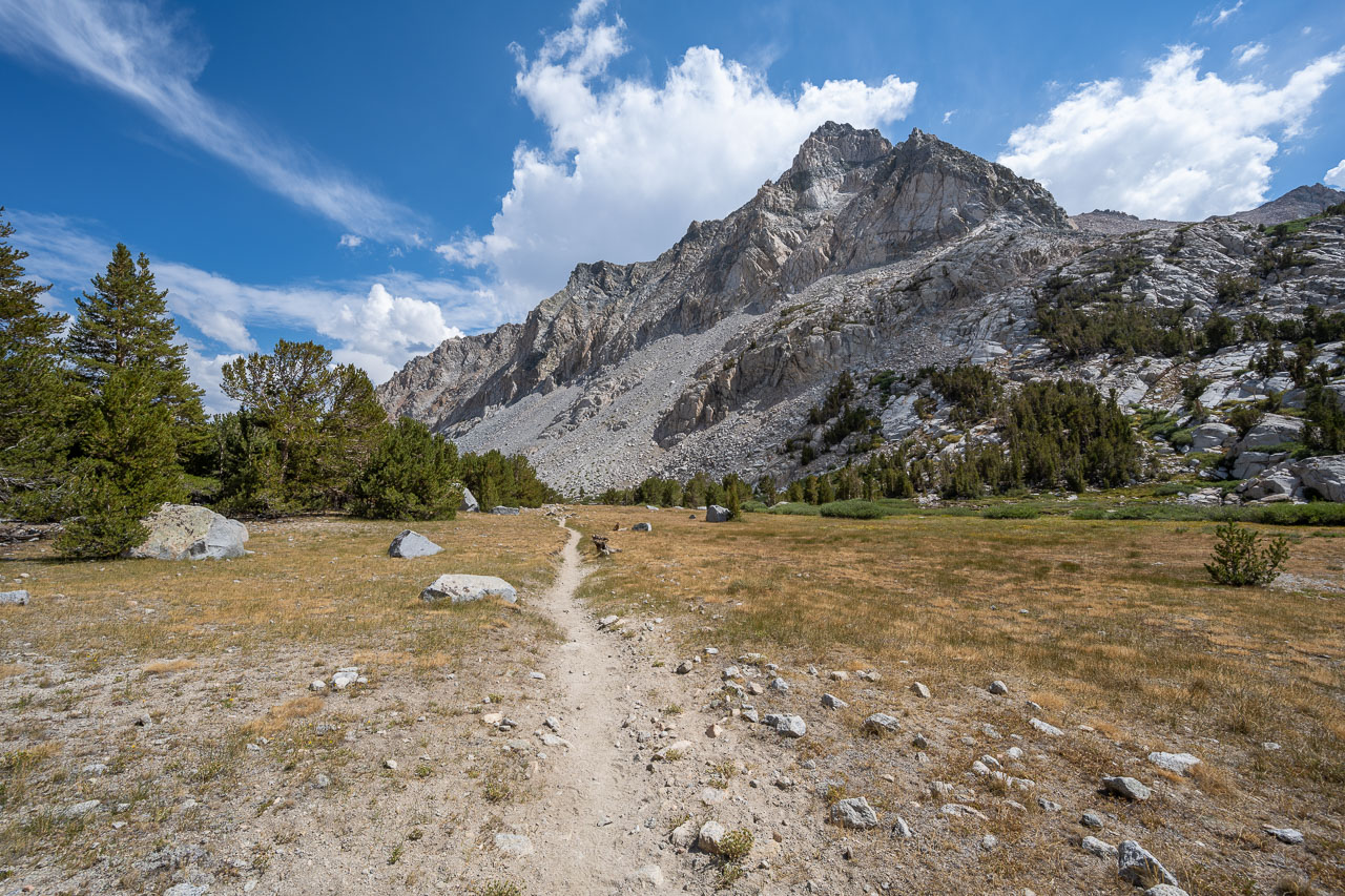
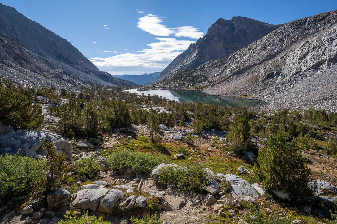
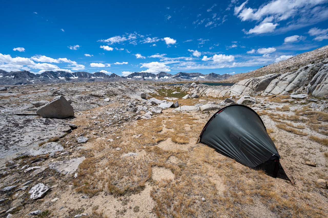
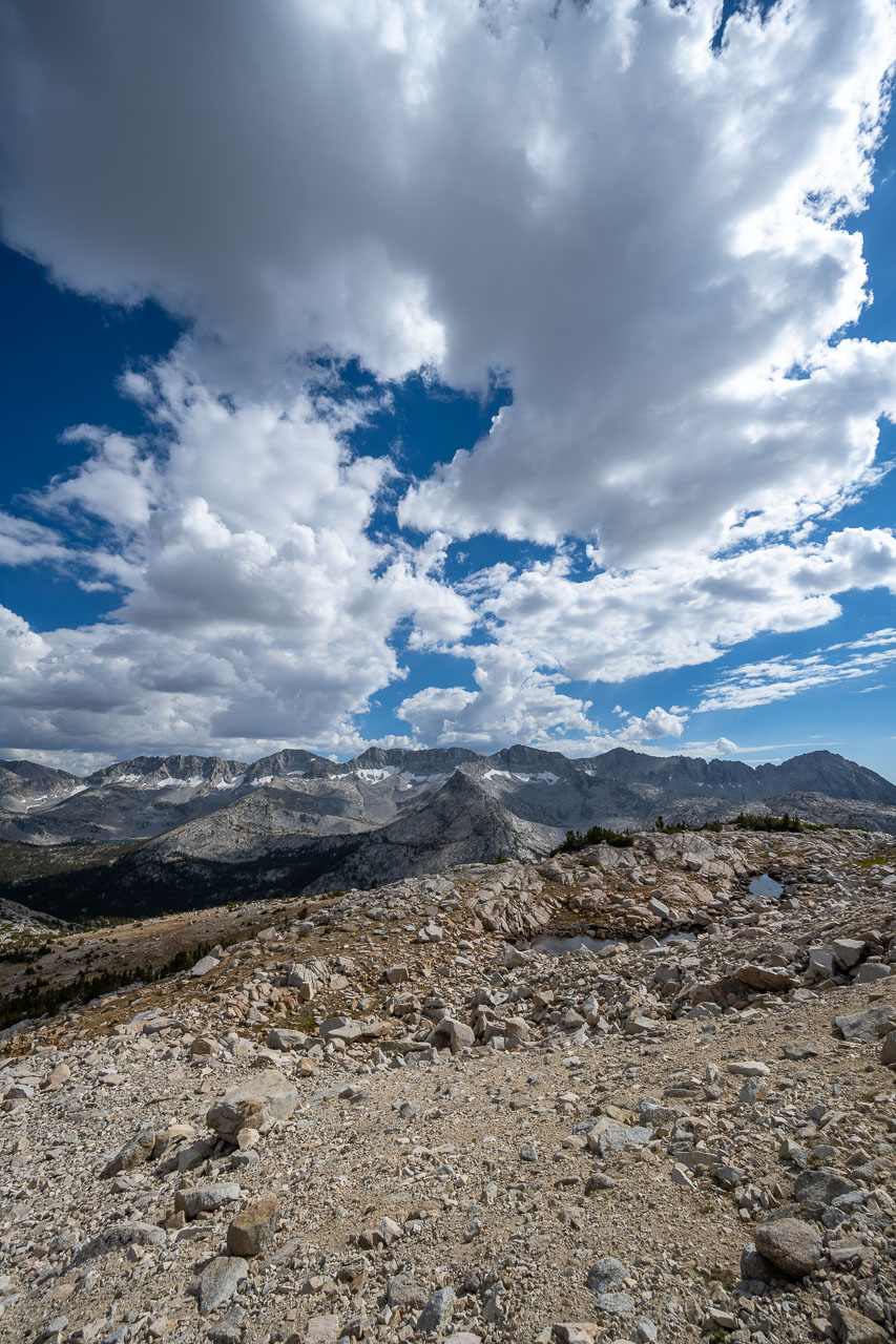
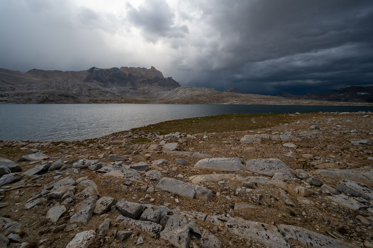
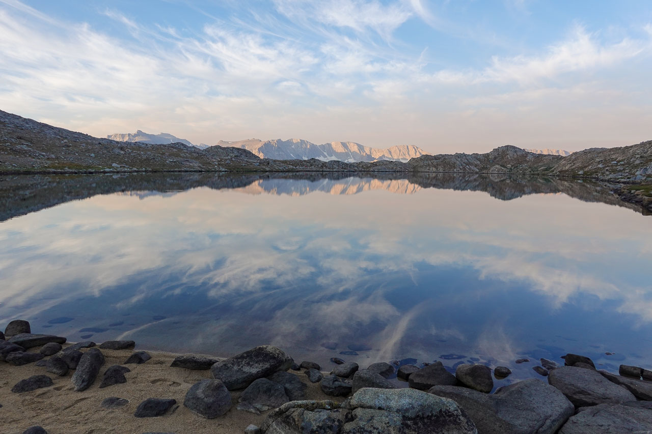
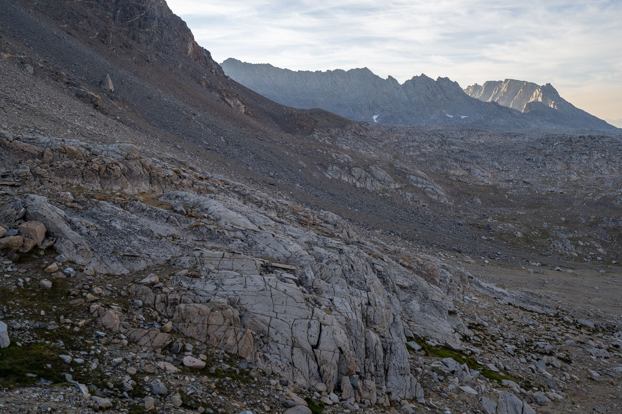
To complete the loop I passed by Tomahawk Lake and Mesa Lake before eventually returning to camp. It rained briefly in the late afternoon but soon cleared. The Sierra has a fairly predictable summer weather pattern where storm clouds will typically build in intensity each afternoon for a few days until they finally unleash with heavier rain. It hadn’t rained much today, so I figured tomorrow would likely be when the heavier rain would occur. We were planning to do Mount Humphreys the following day, so we were planning for an early start in order to get down before the afternoon thundershowers.
11.6 Miles, 4700 Gain
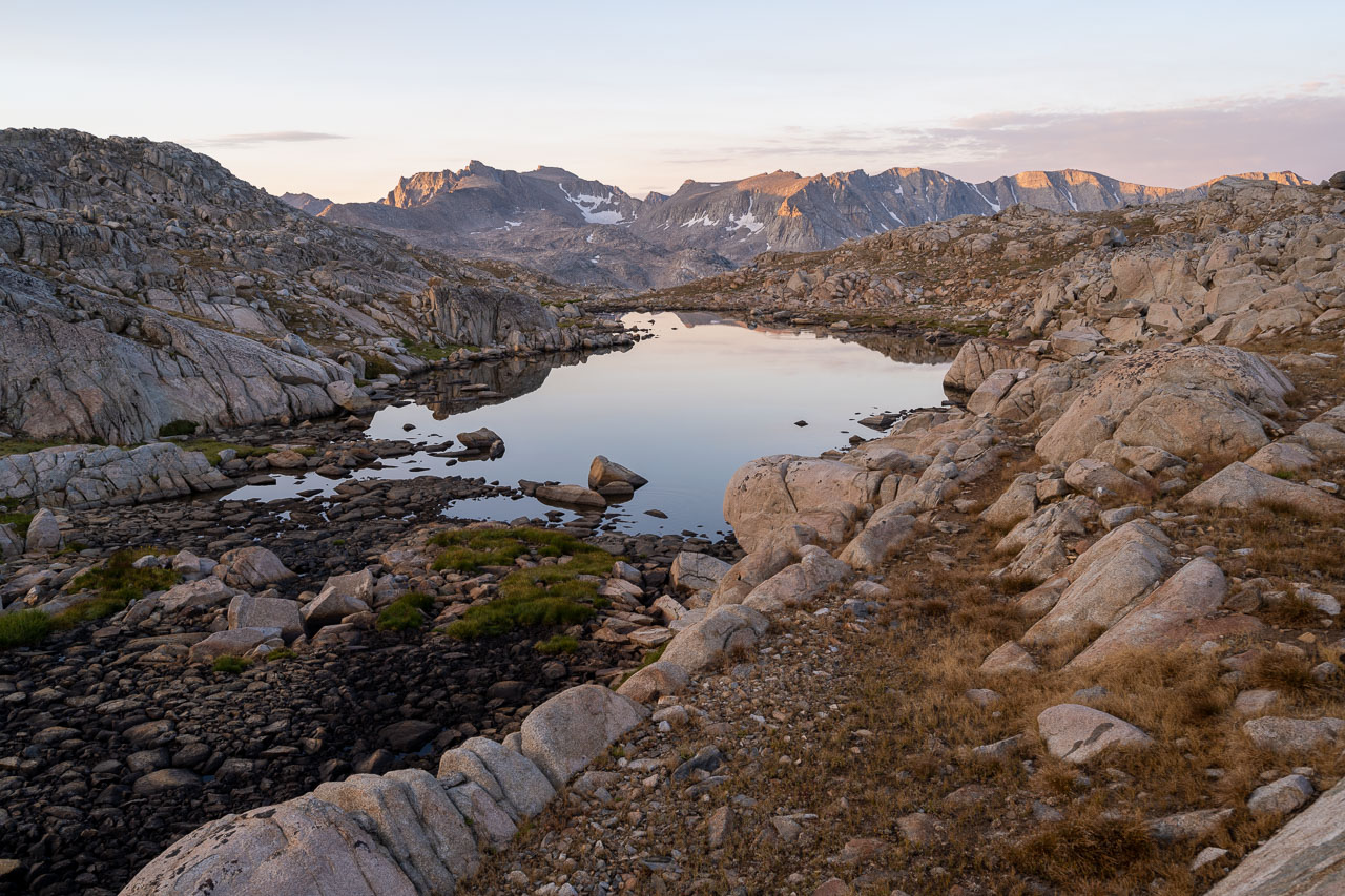
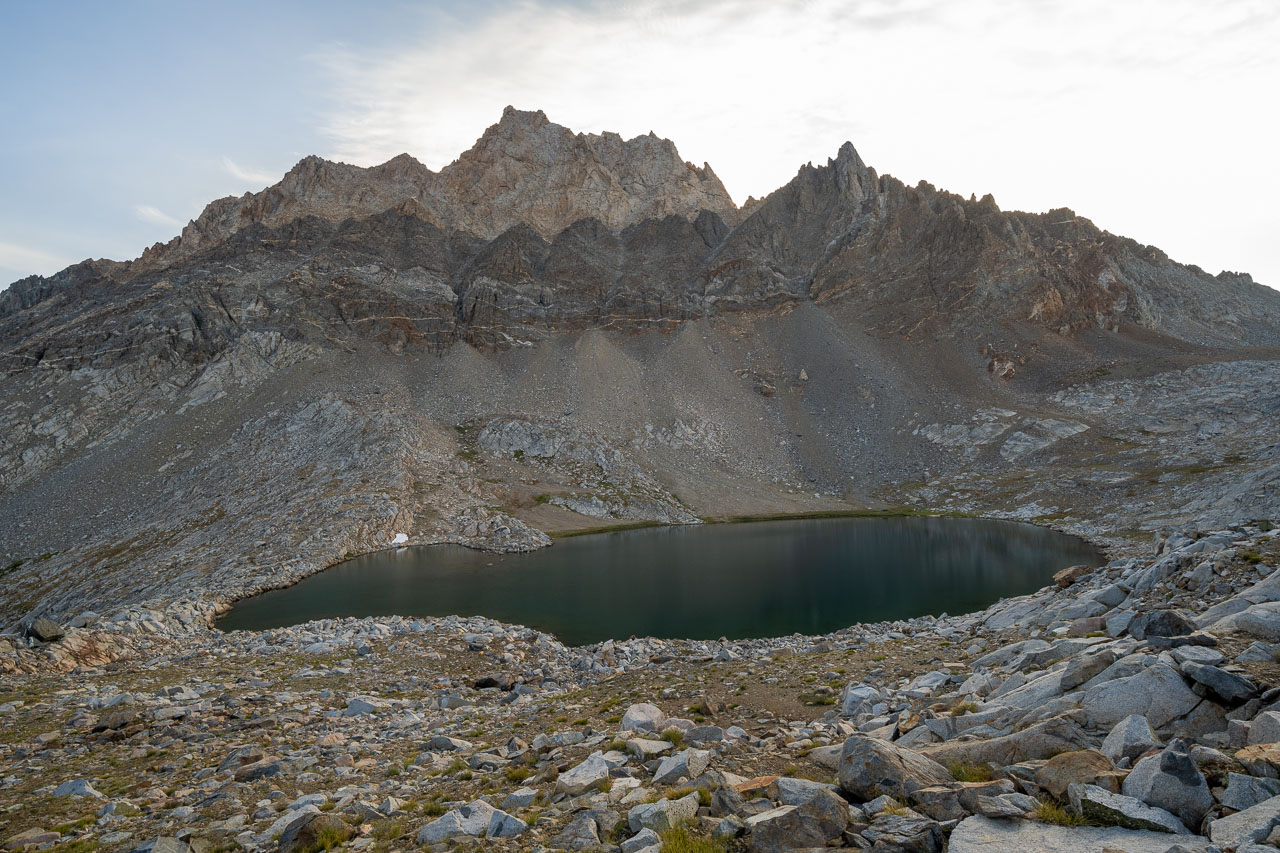
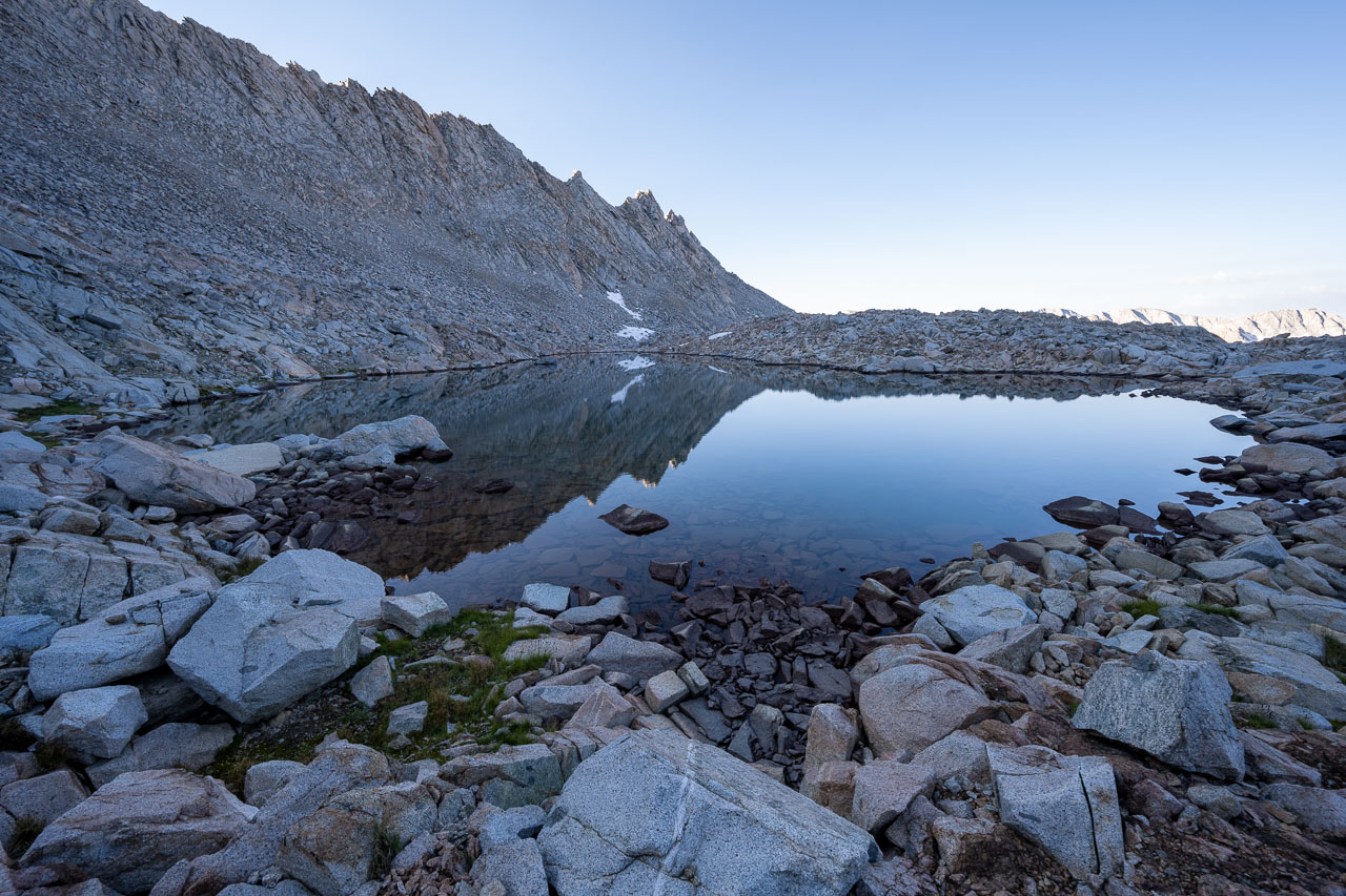
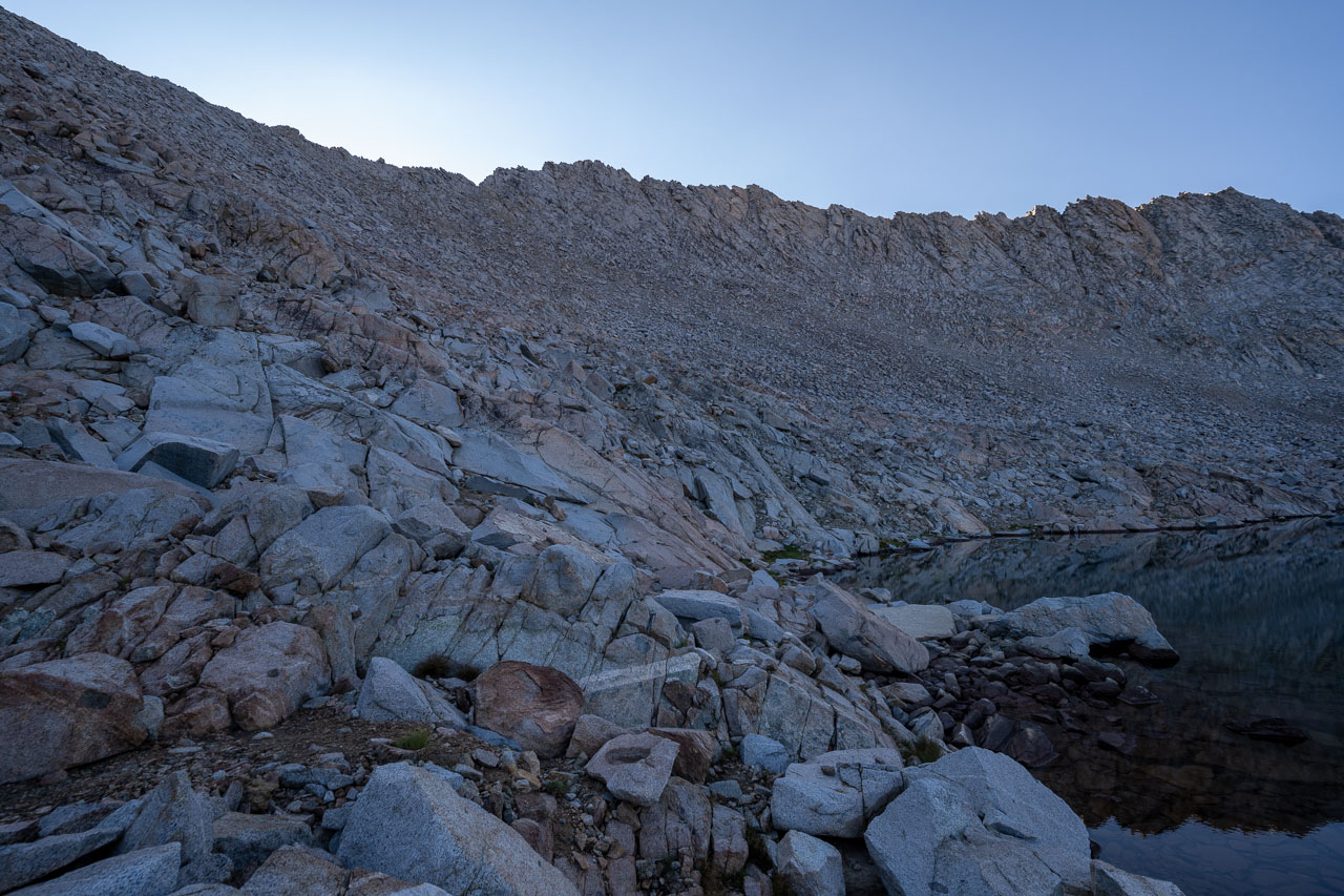
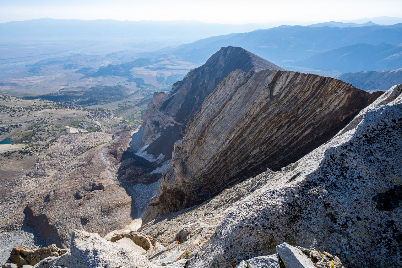
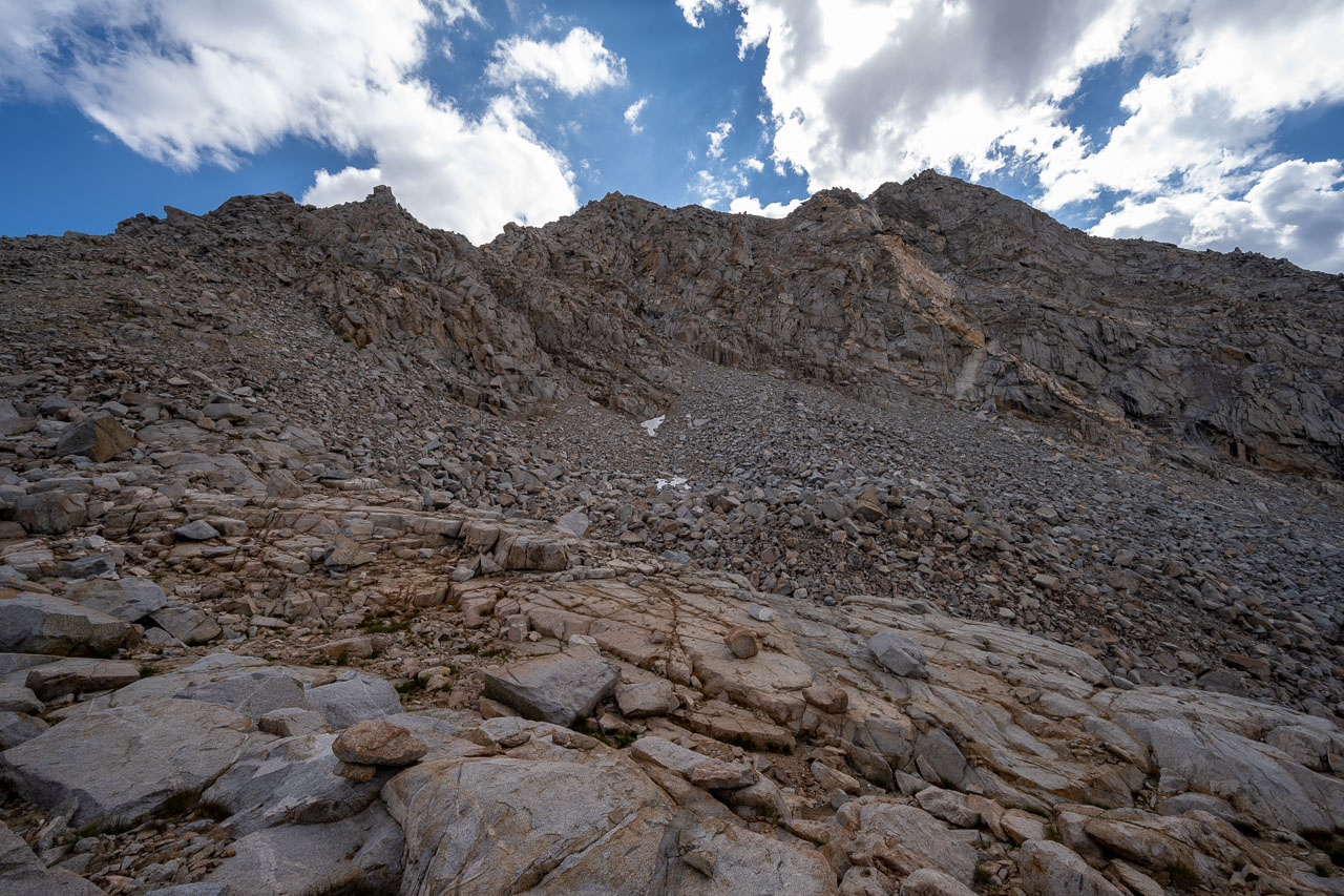
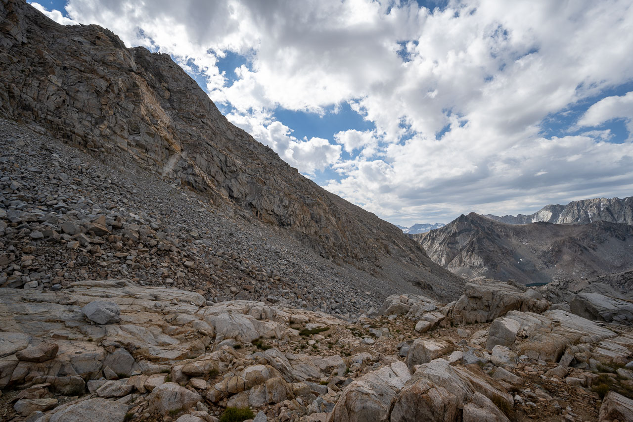
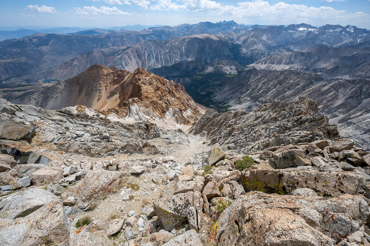
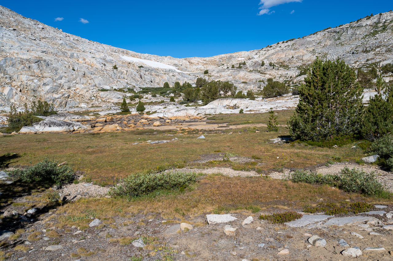
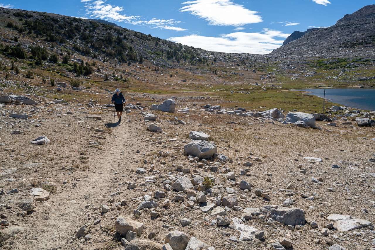
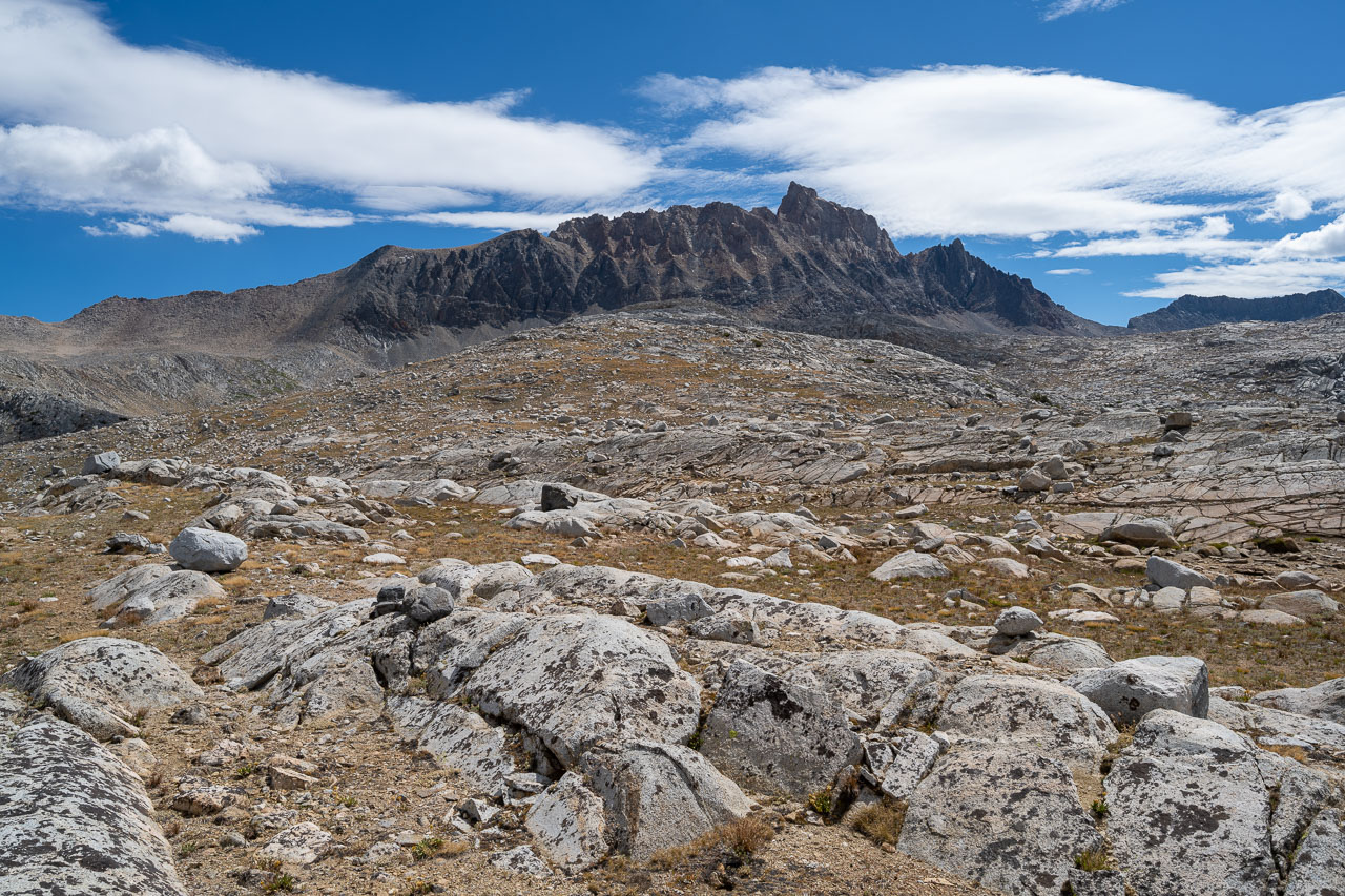
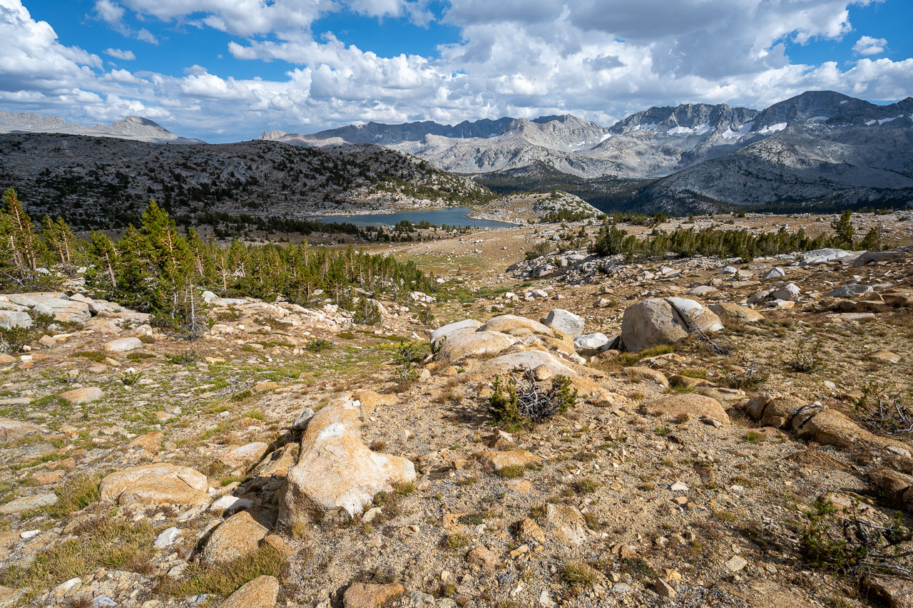
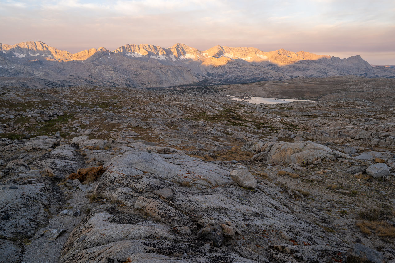
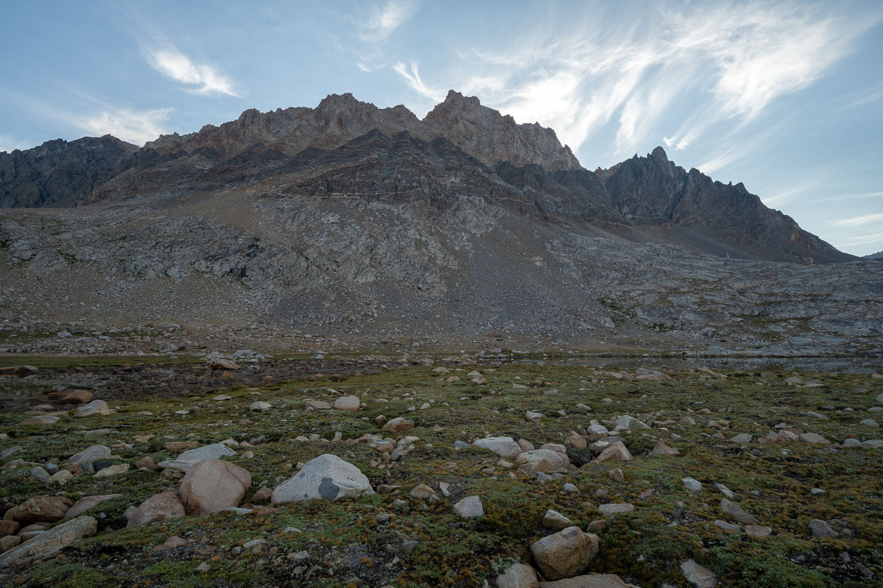
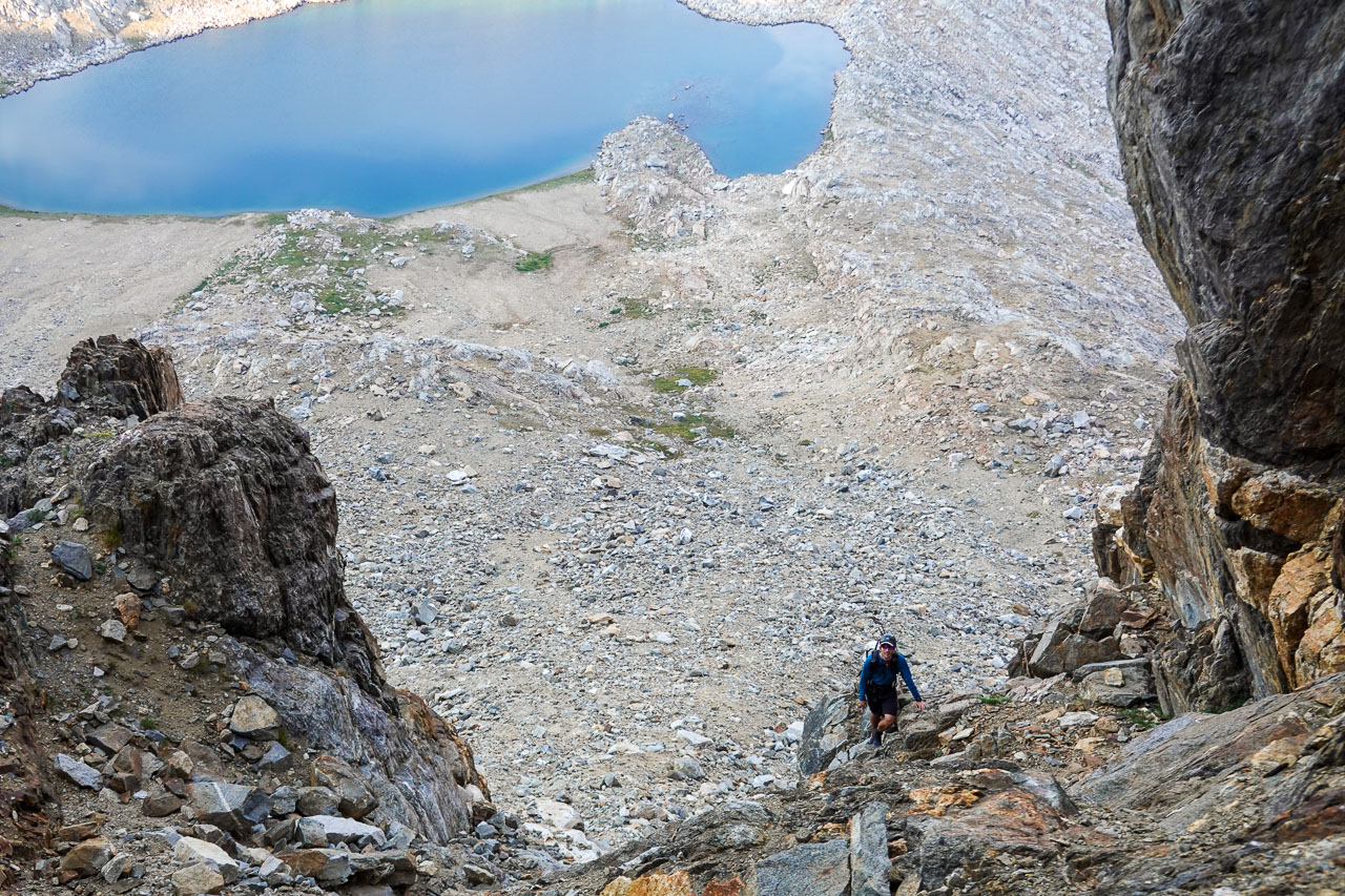
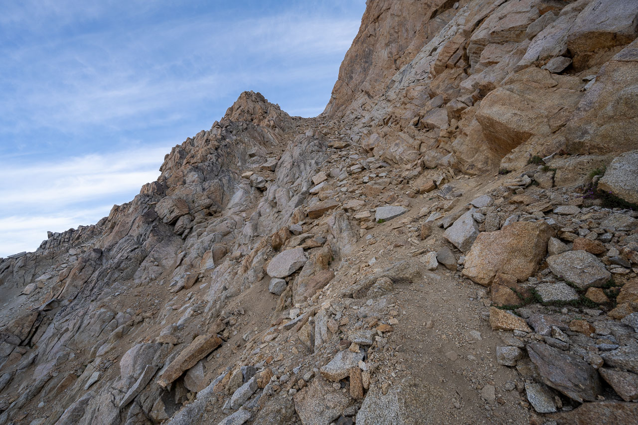
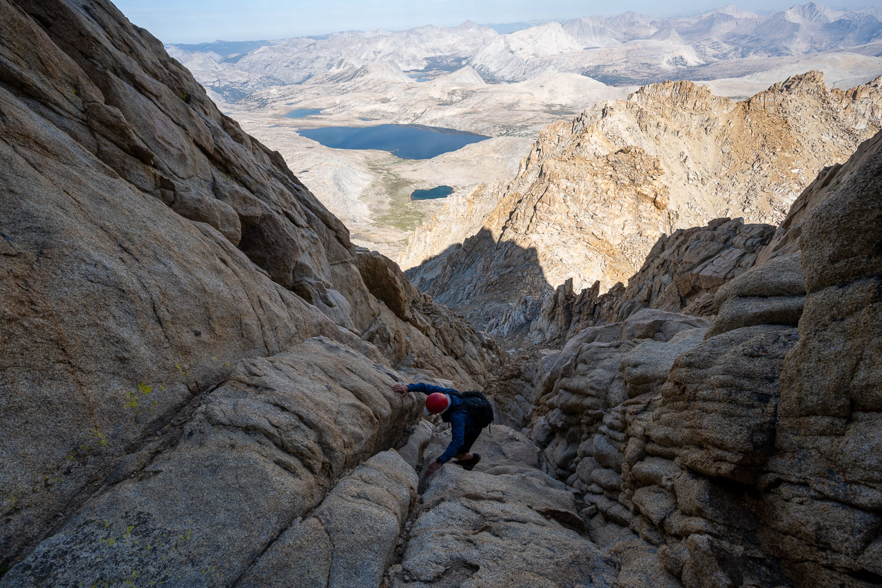
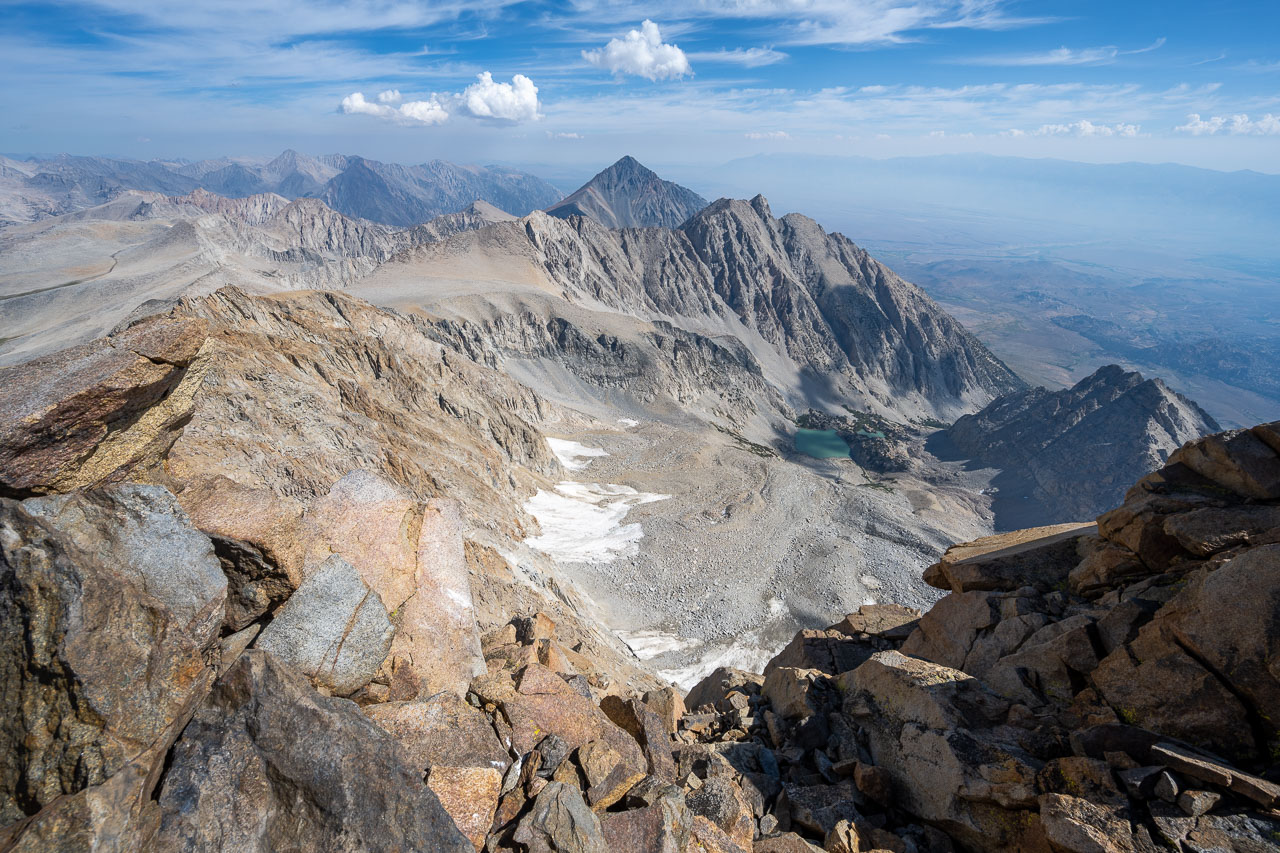
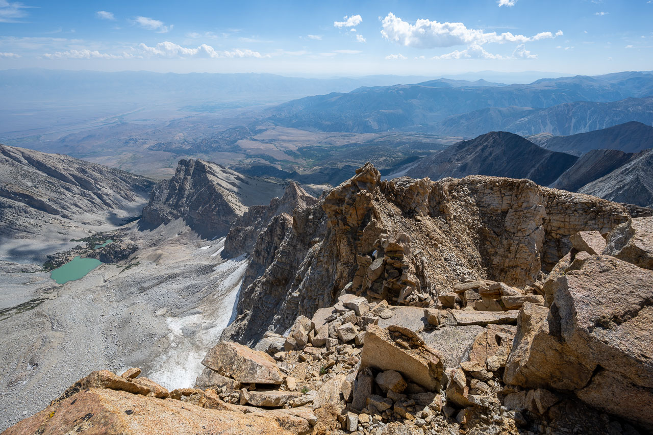
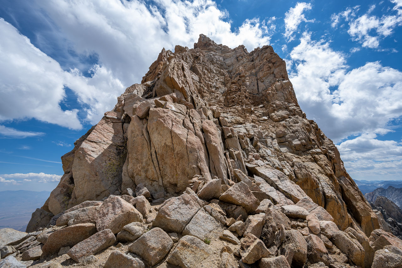
We got up before sunrise and started toward Mount Humphreys by headlamp. By the time we reached Humphreys Lakes the sun was just starting to rise on Glacier Divide to the south. We stopped at the largest of the Humphreys Lakes to enjoy the view and take a closer look at the route ahead. There are several chutes on the southwest side of the peak that provide access to the Class 2 ramp that that runs diagonally across the southwest face.
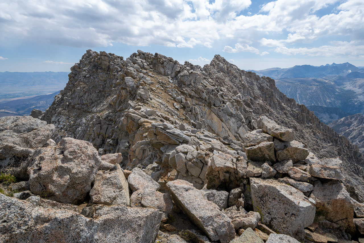
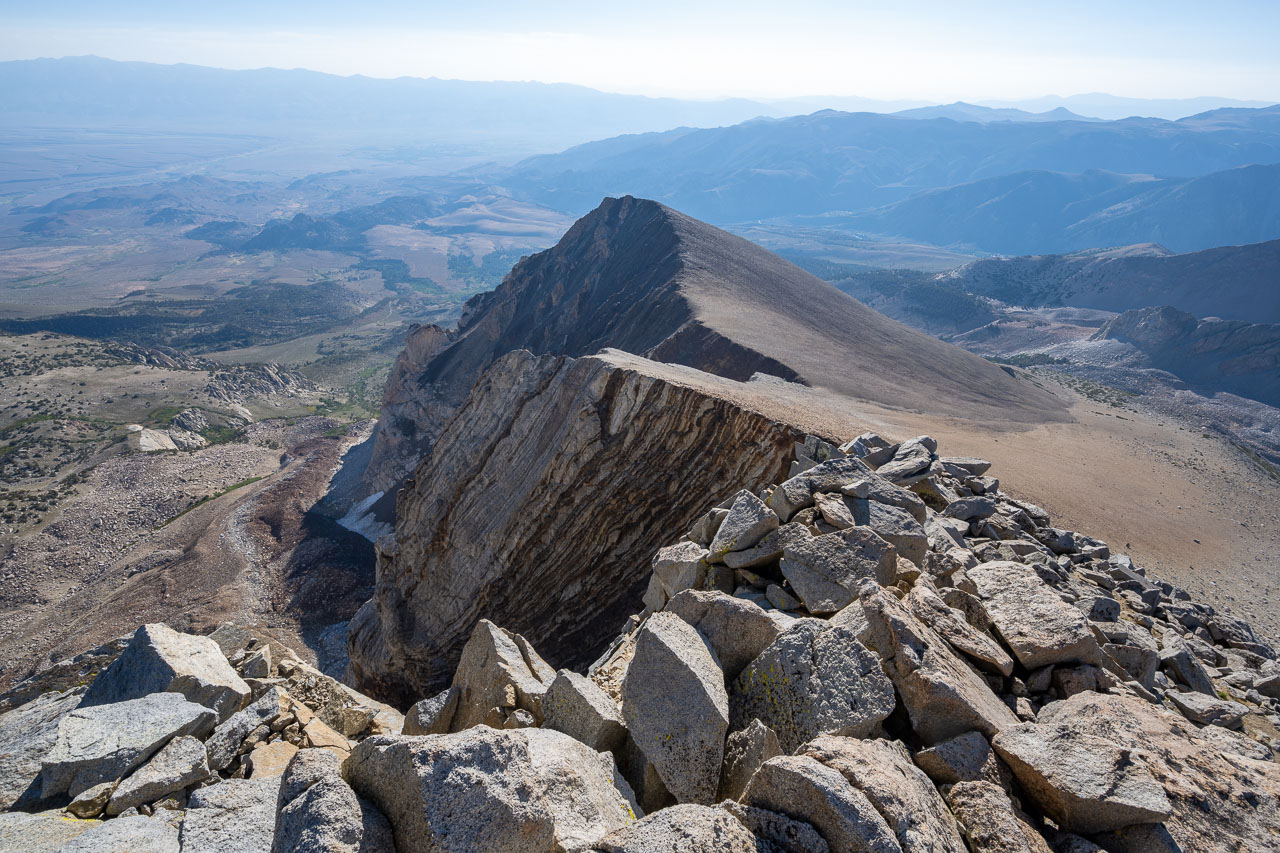
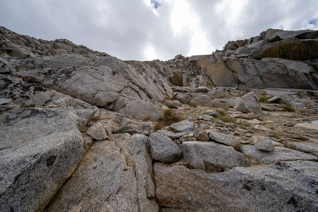
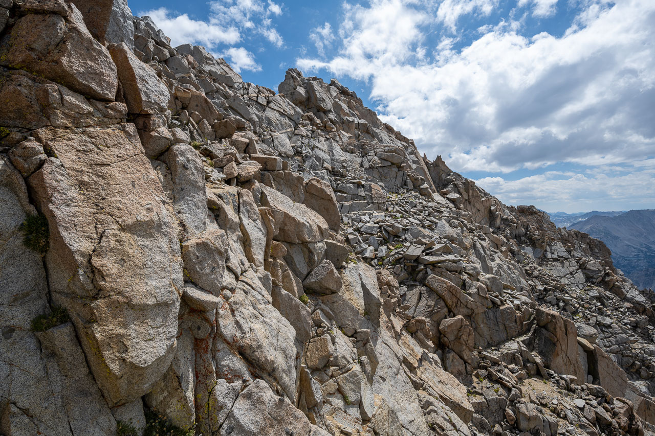
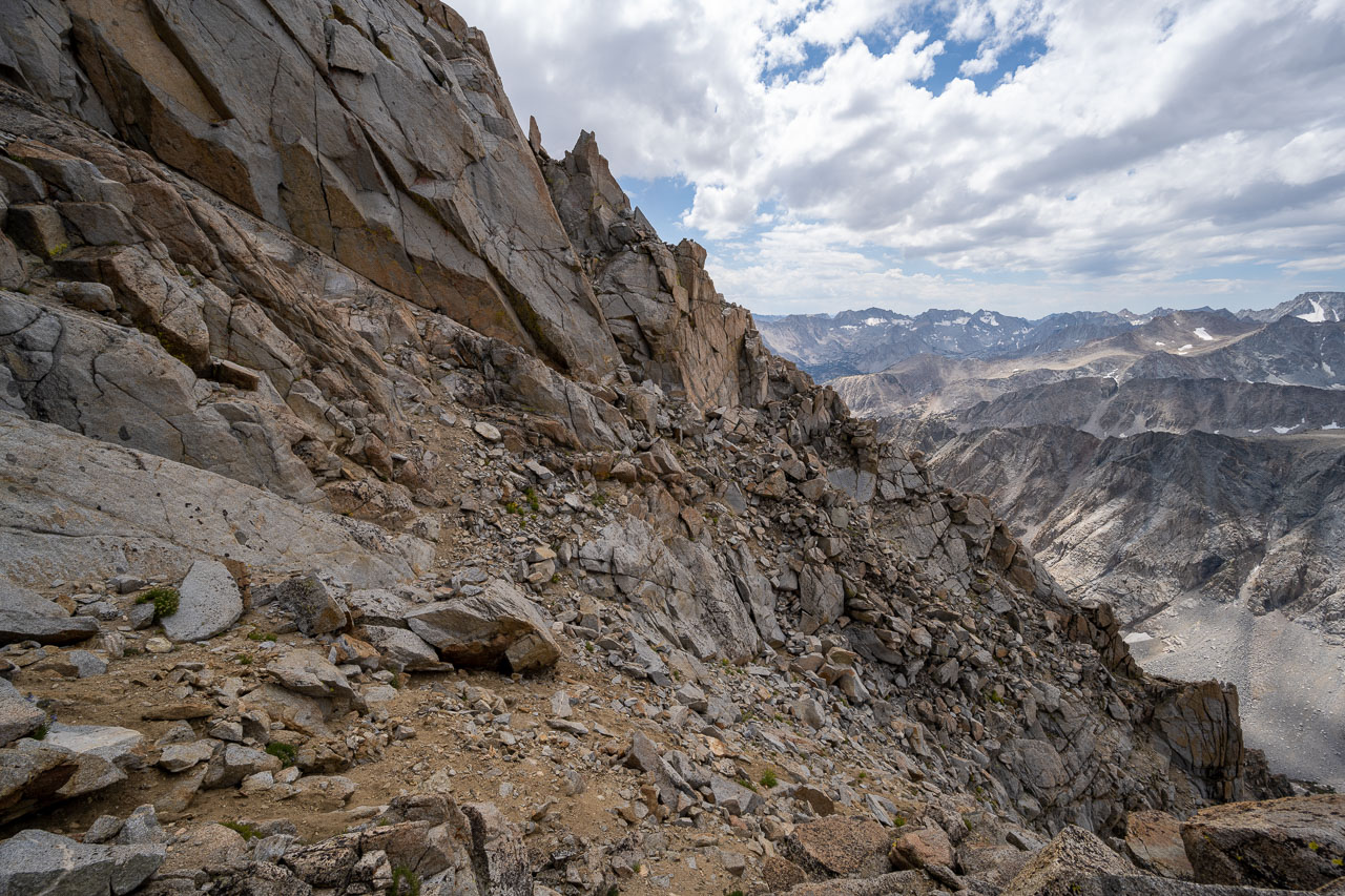
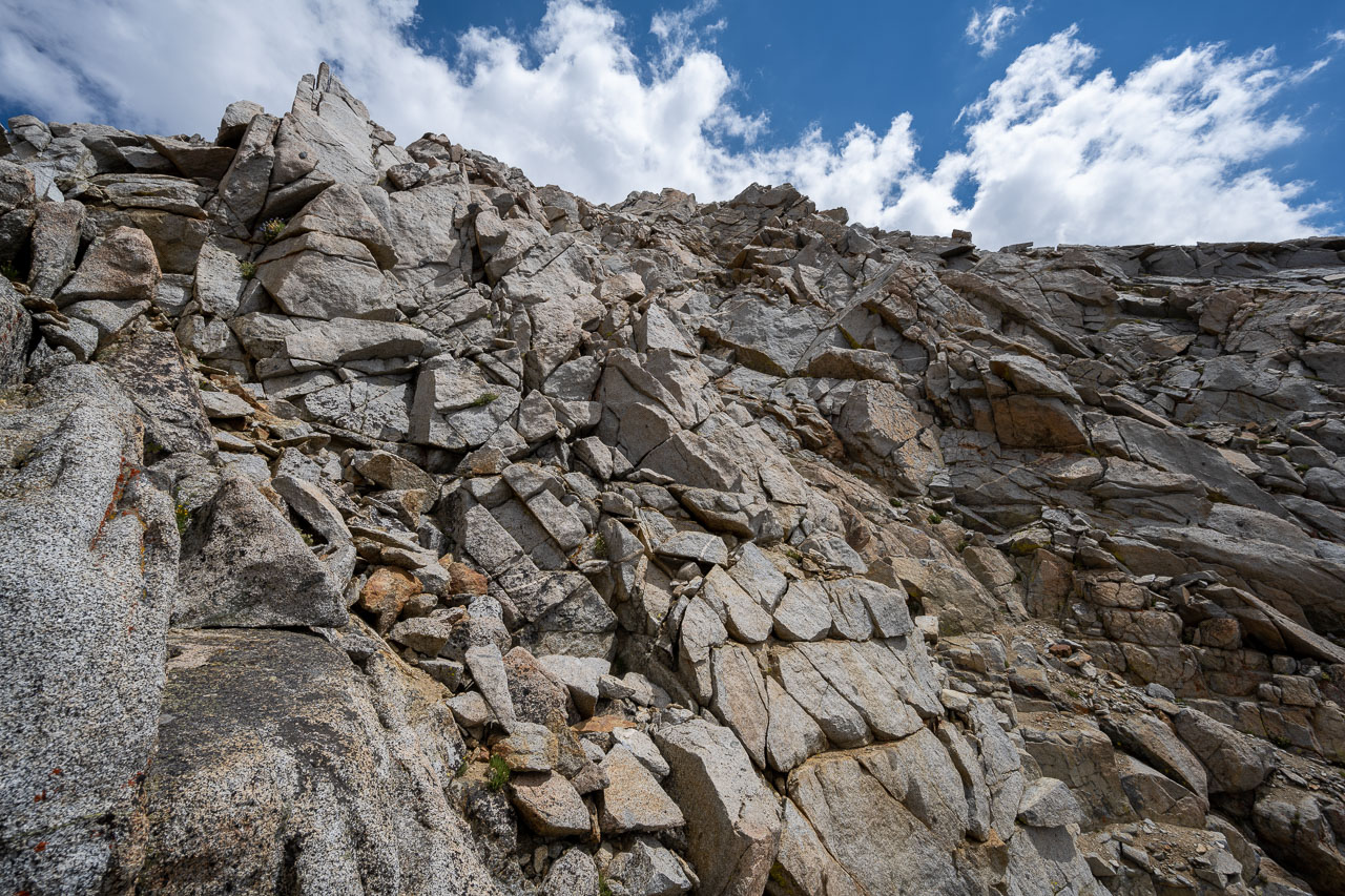
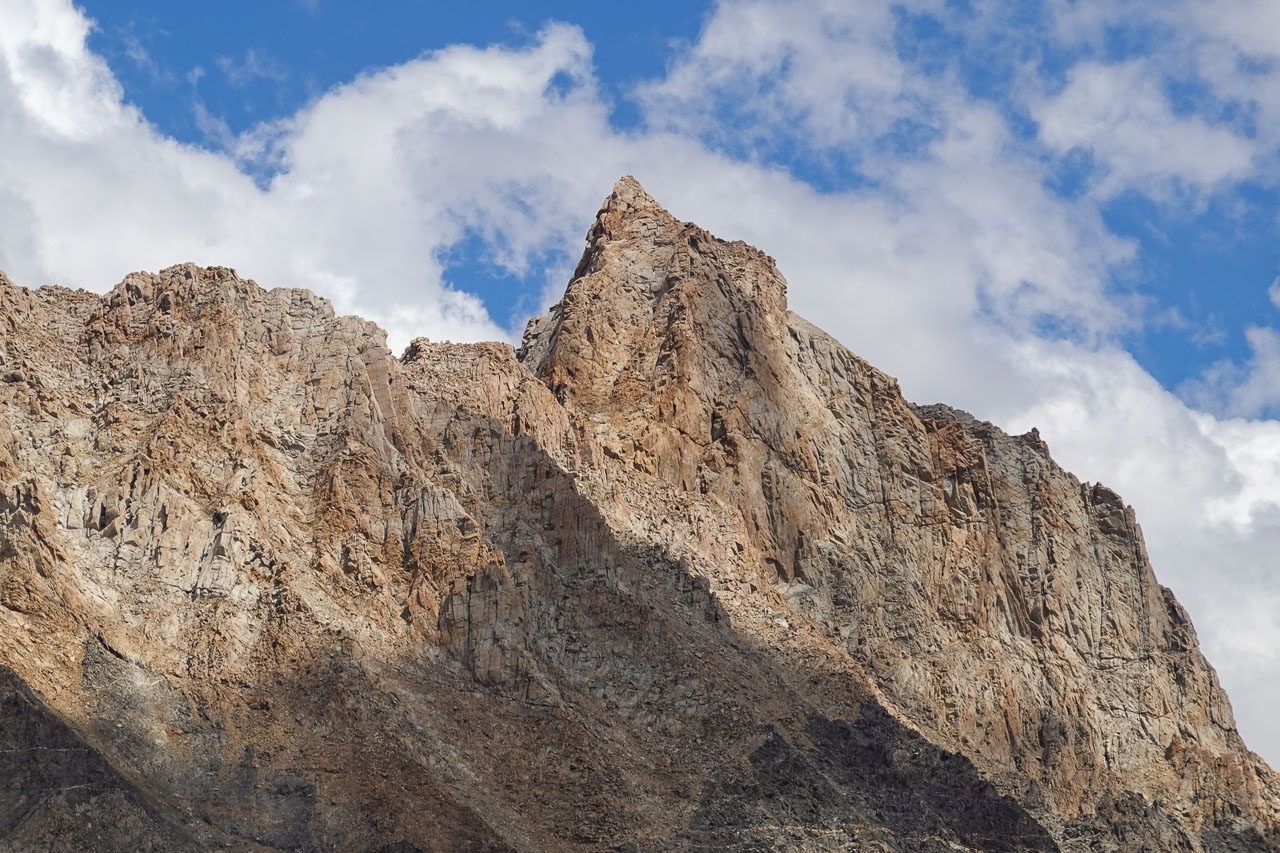
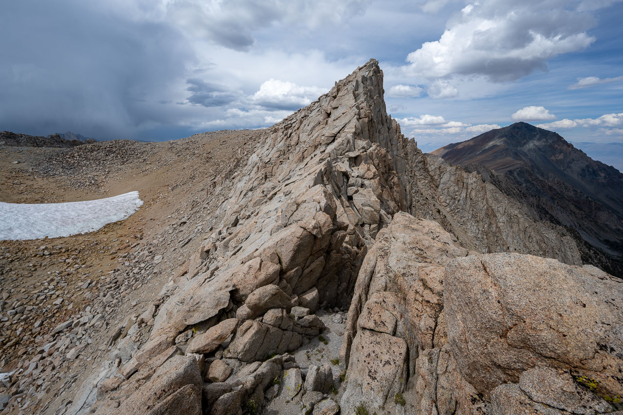
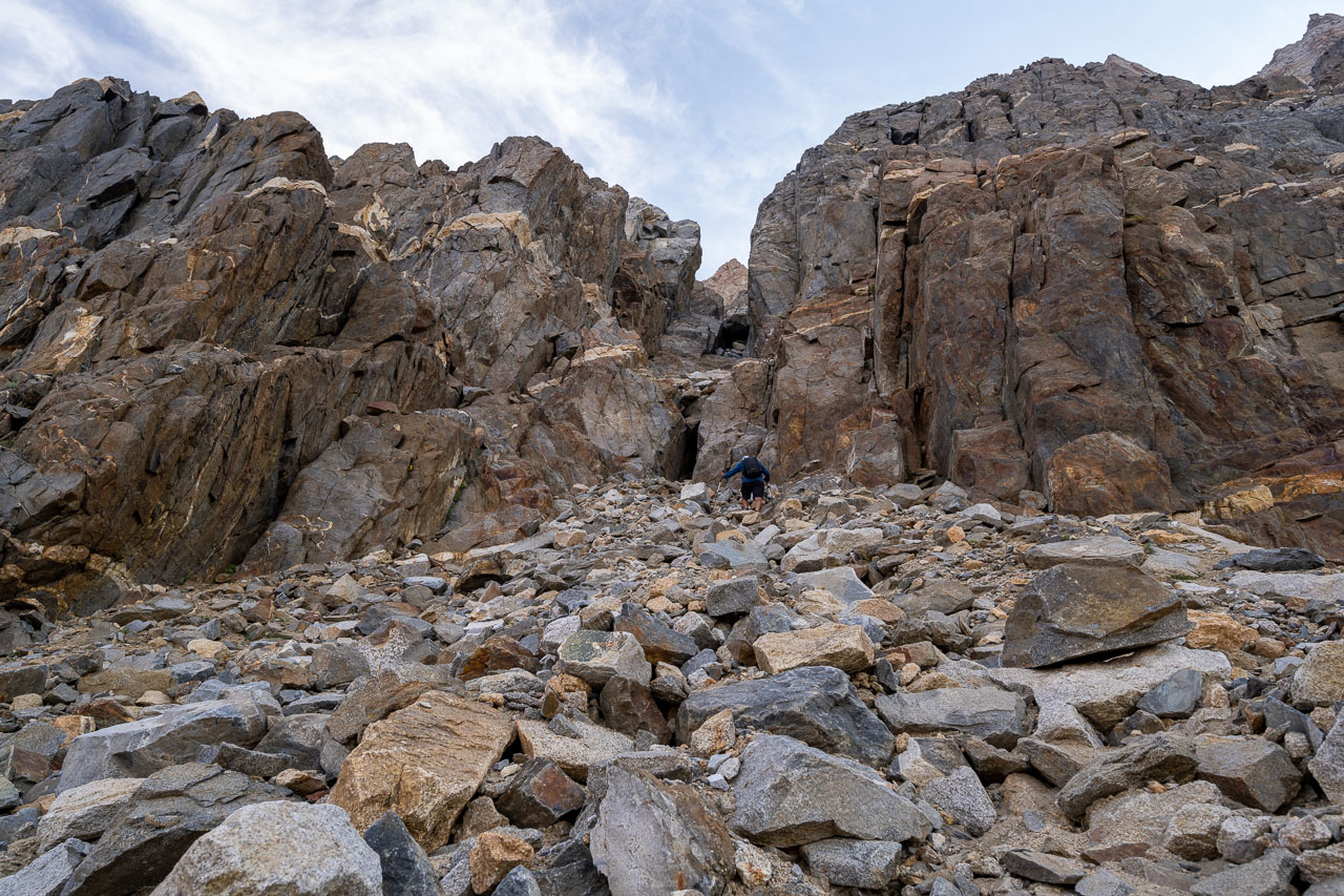
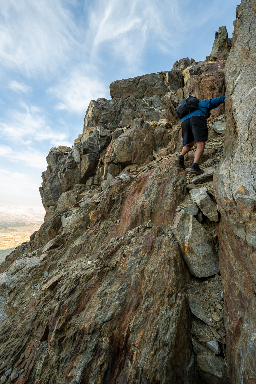
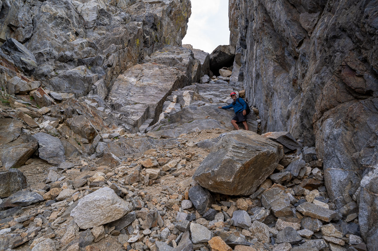
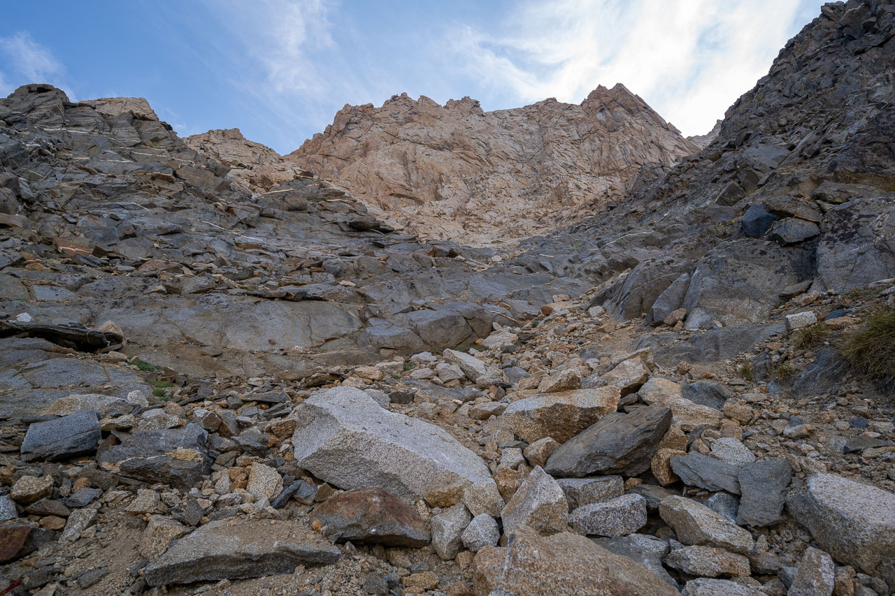
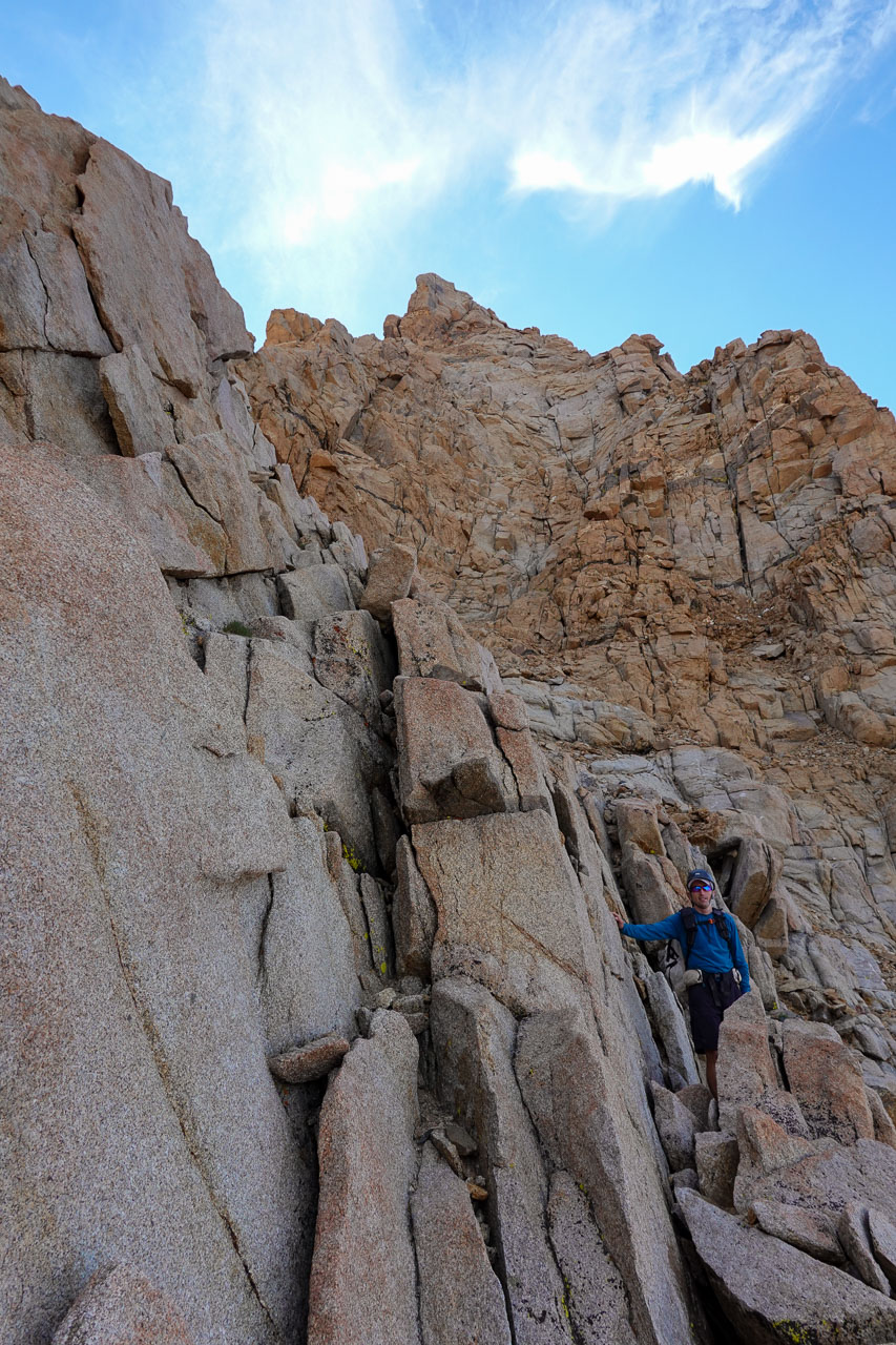
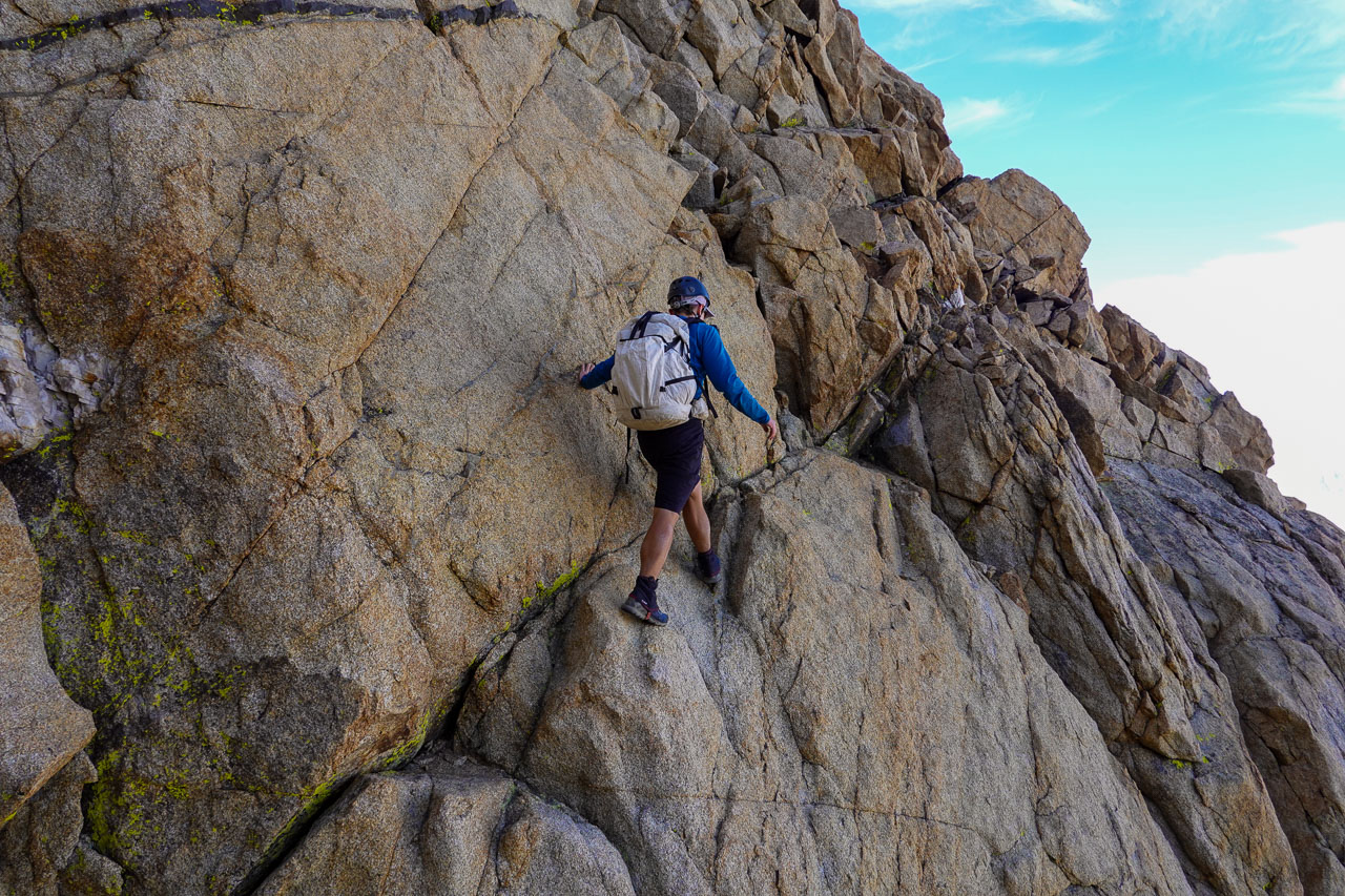
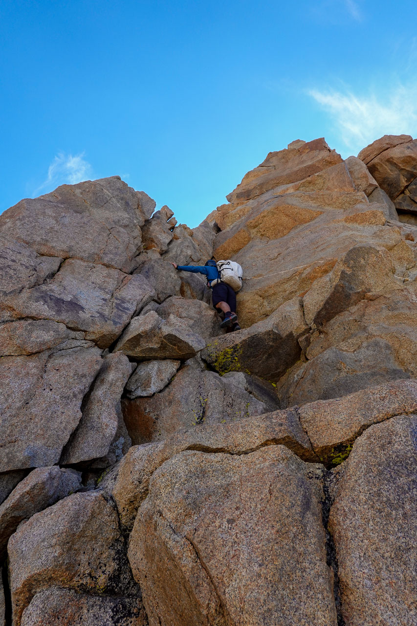
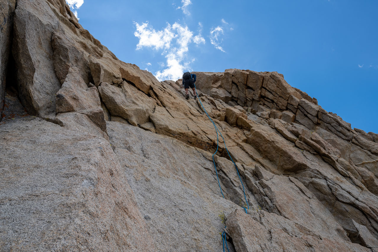
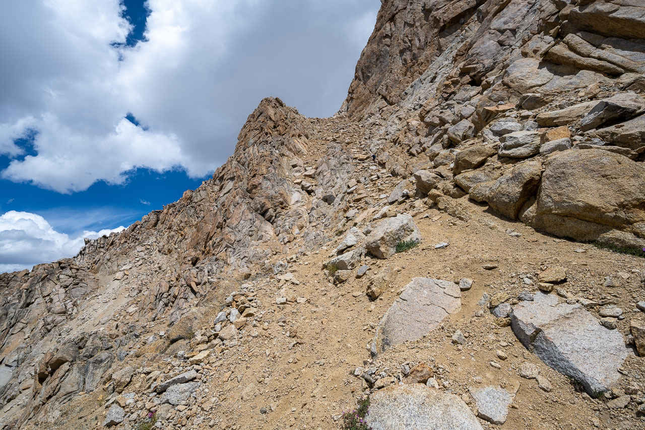
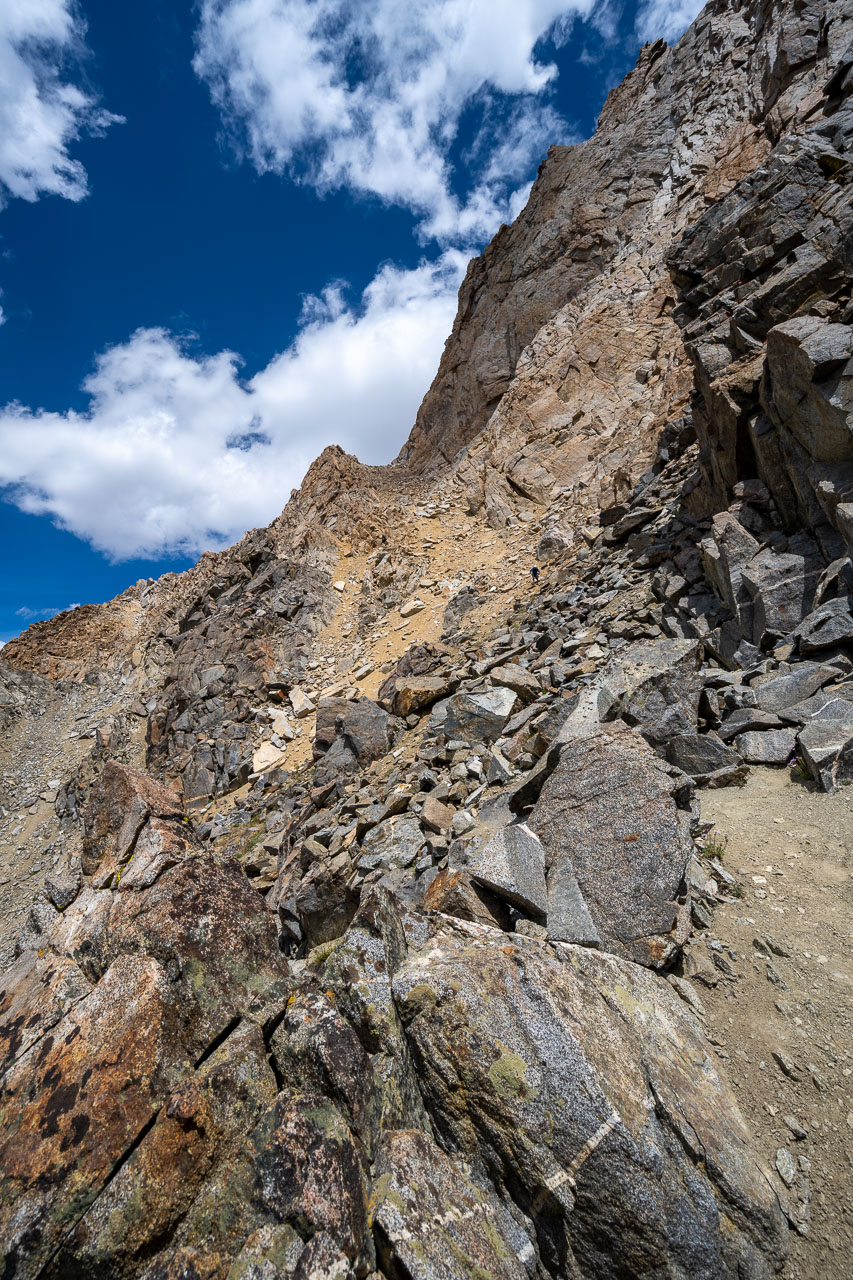
From our vantage point we could clearly make out the Class 4 chute that we were planning to use on the way up. We made our way over to the chute and found the crux chockstone near the bottom. Some exposed Class 4 to the left of the chockstone led to easier ground above. Above the chockstone, the remainder of the chute was Class 3 up until we reached the obvious Class 2 ramp running diagonally across the face. We took the sandy ramp over to the notch in the ridge until we reached the base of the final summit climb. The remainder of the route looked impressively steep from below, but I knew there were really only two short Class 4 sections.
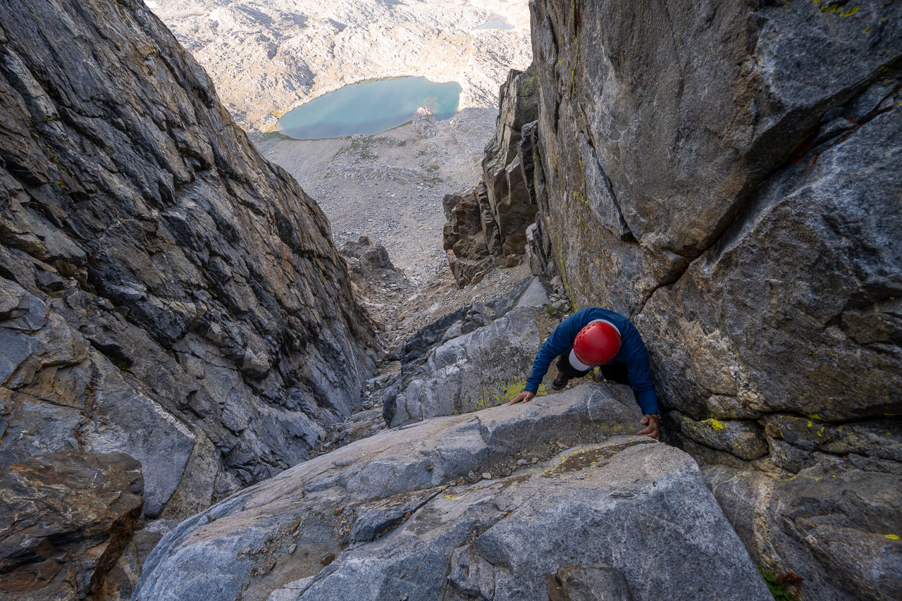
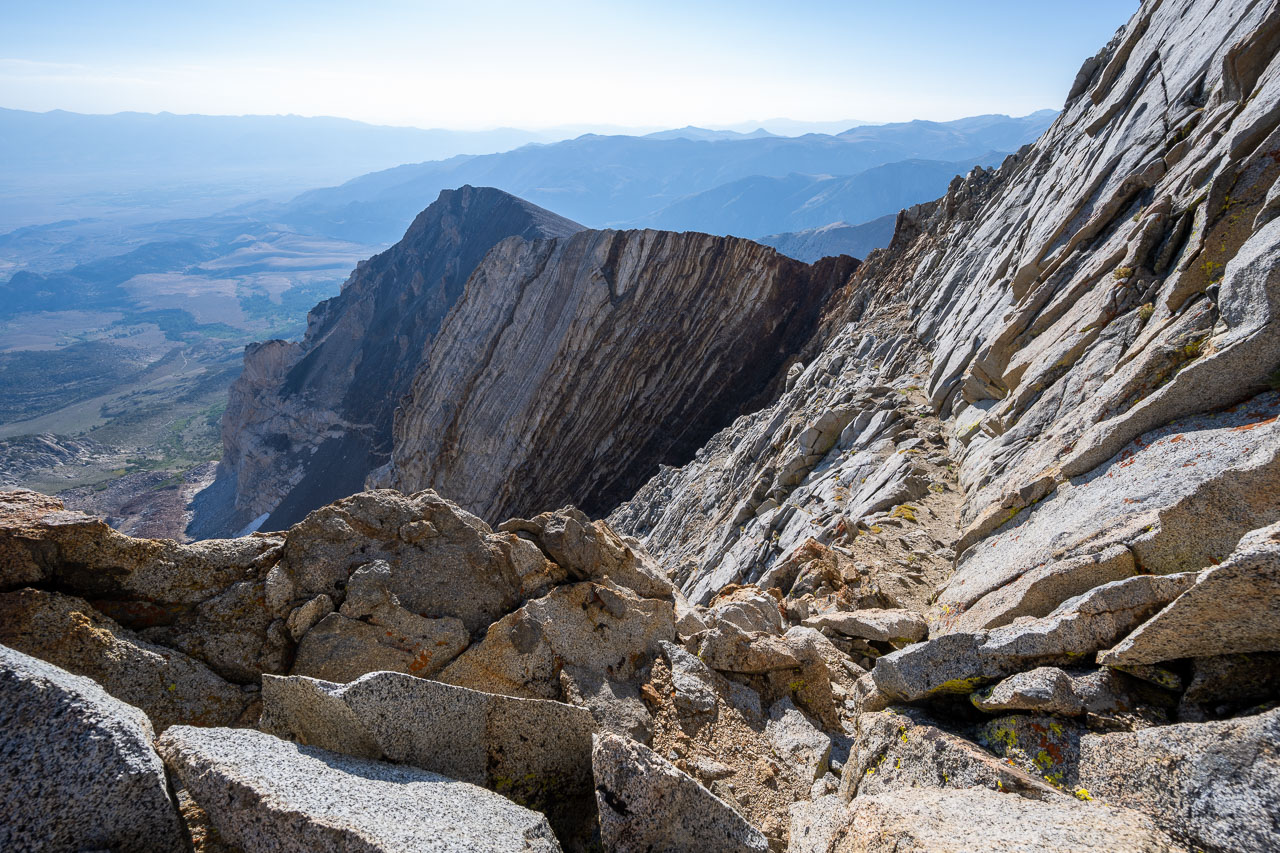
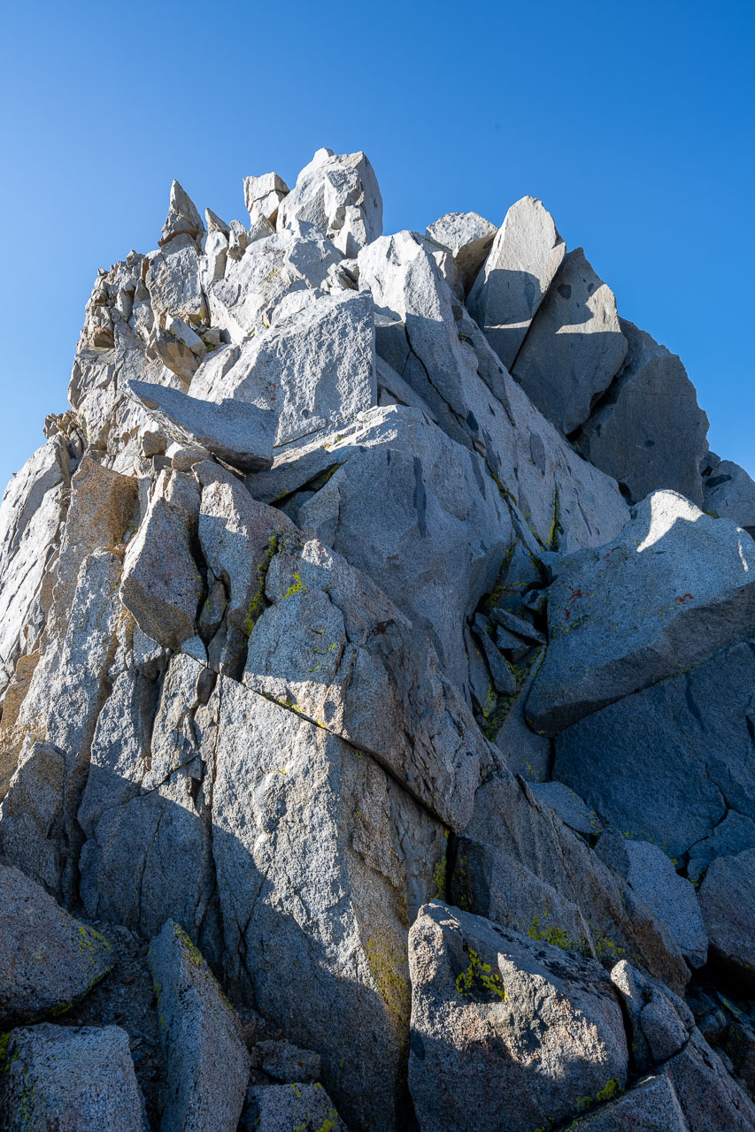
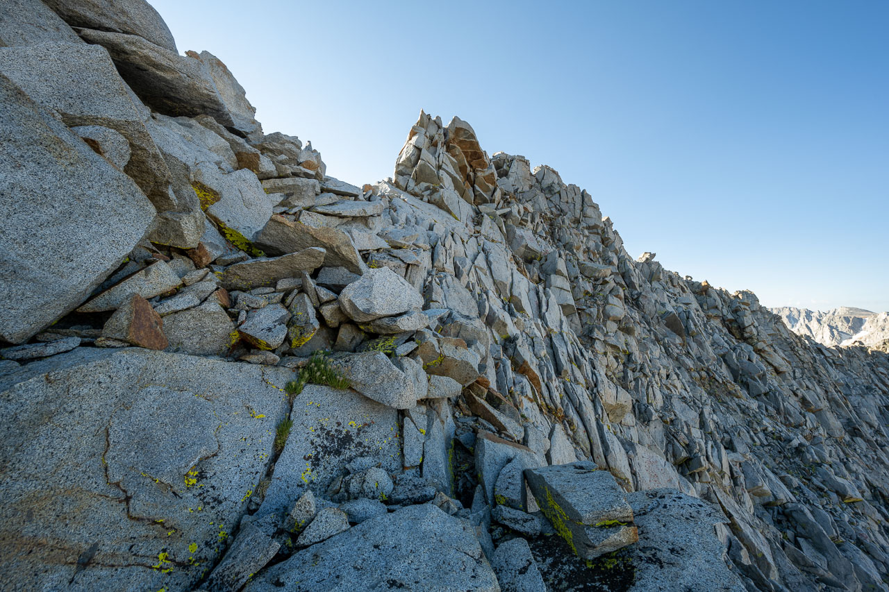
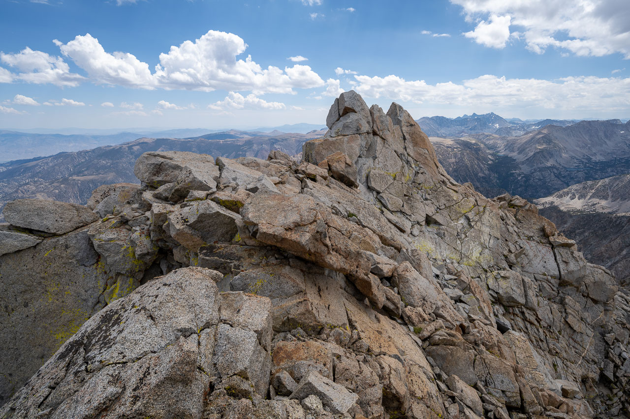
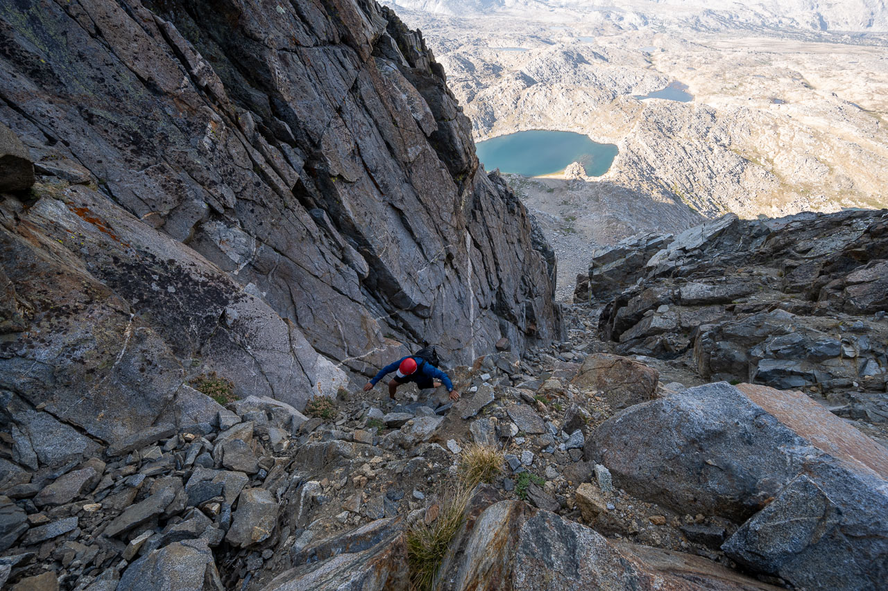
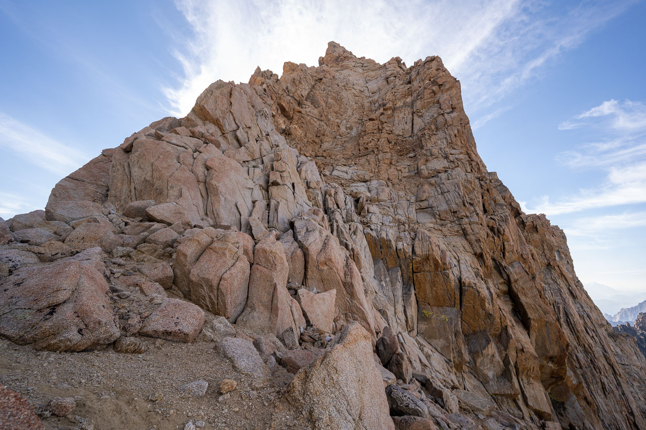
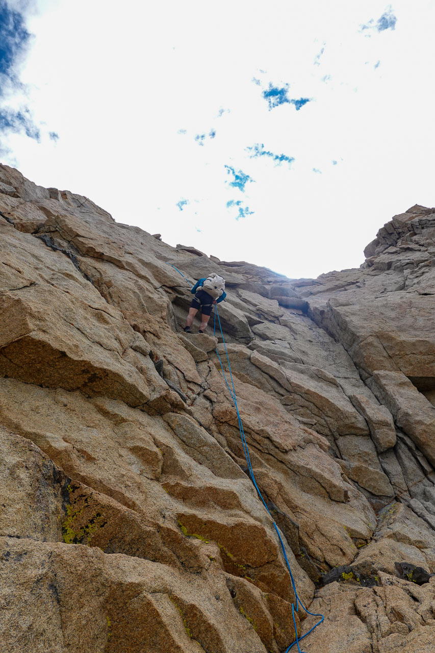
From the notch we went up a Class 3 chute for several hundred feet before arriving at the first Class 4 section. Here there is a narrow ledge that runs across the face. The ledge is about 15ft long and just wide enough to provide secure foot placements. There is some exposure when crossing the ledge, but overall it didn’t feel very difficult. After the ledge is the final Class 4 section. This starts with a steep Class 3 face climb that leads up to a Class 4 crack. There is significant exposure when climbing up the crack, but there are excellent hand and footholds the entire way. Above the crack it is a short Class 3 scramble to reach the summit.
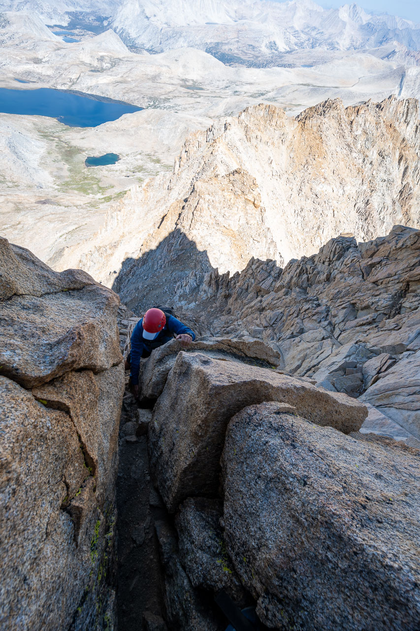
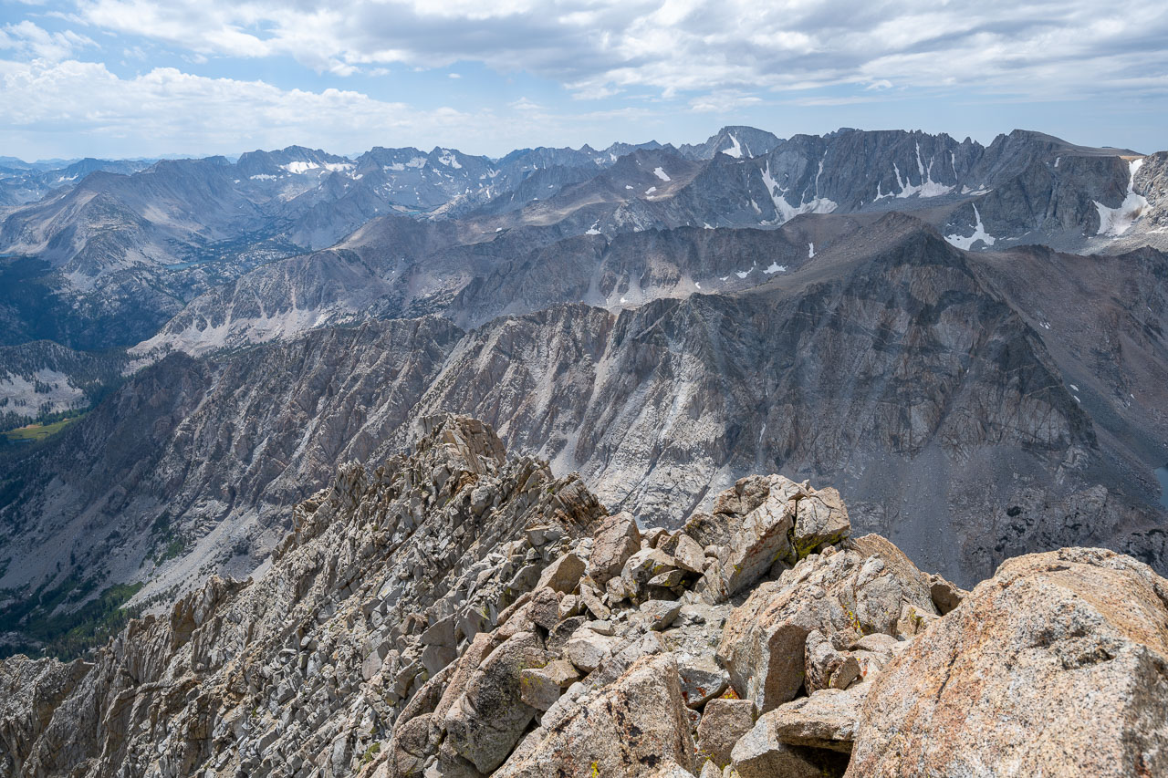
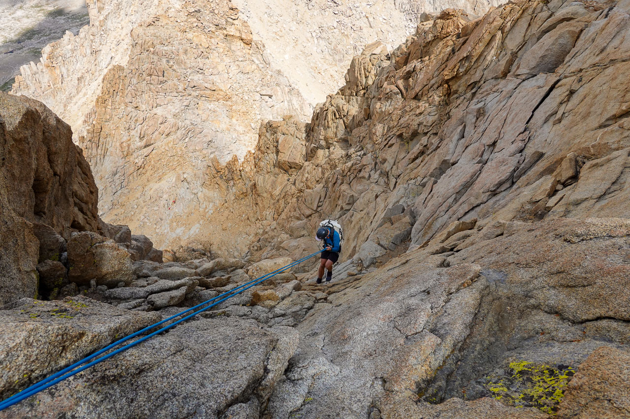
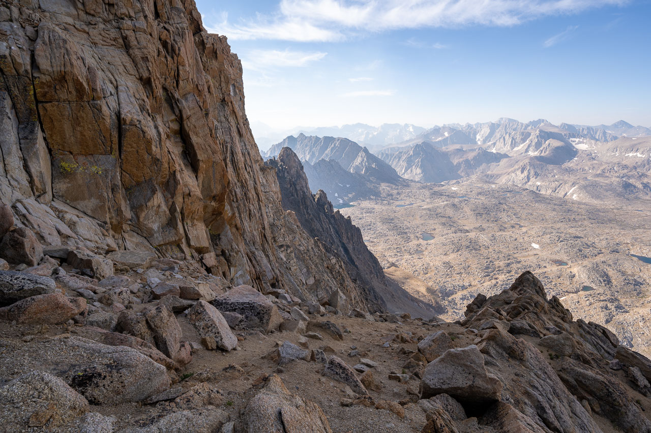
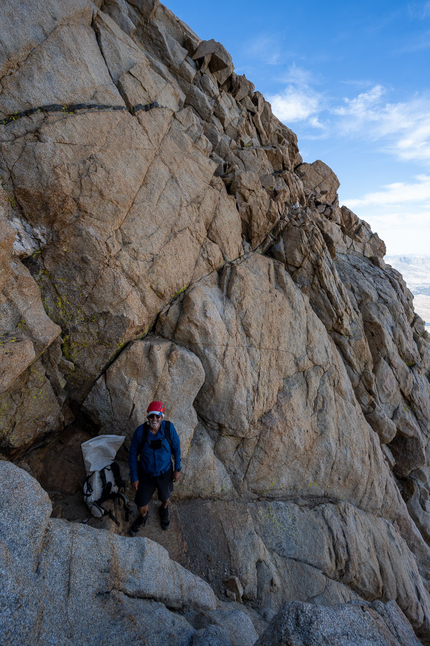
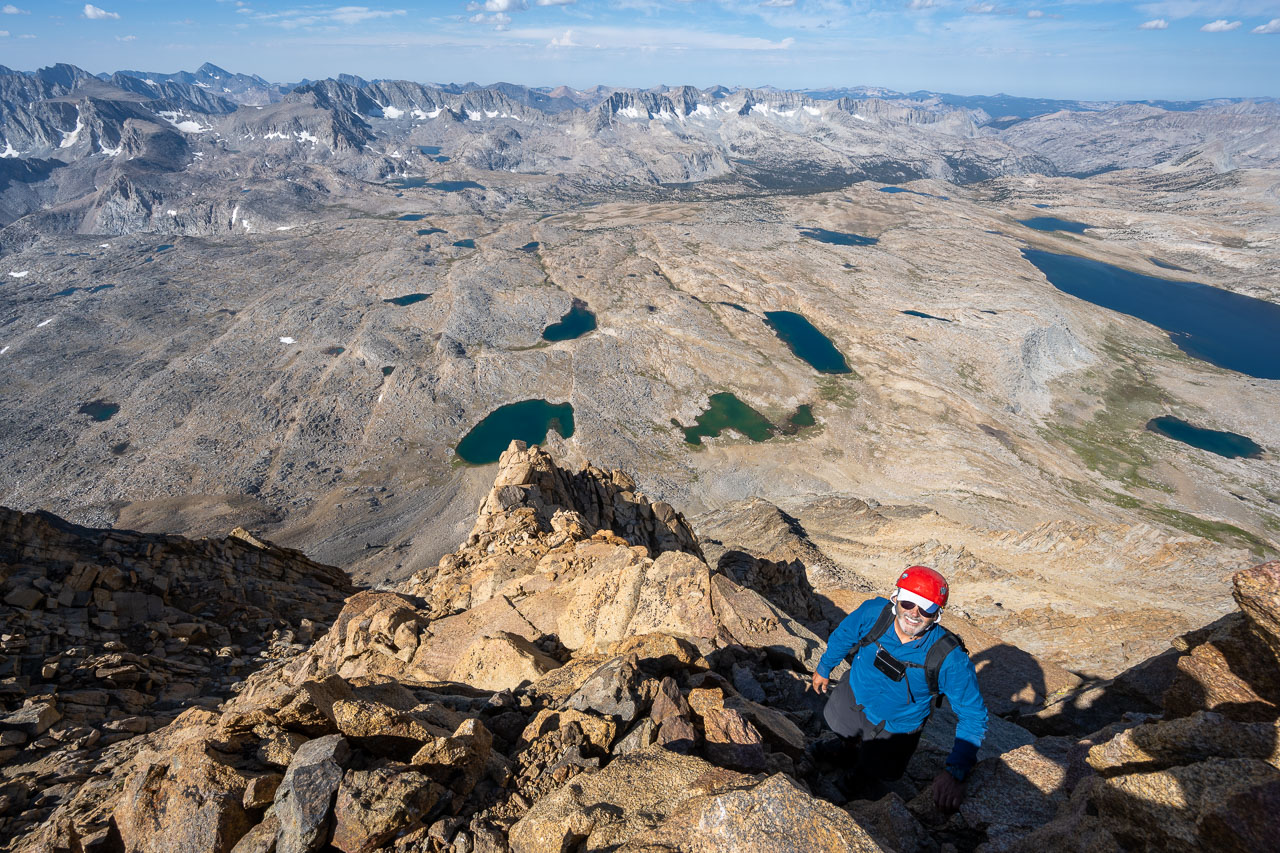
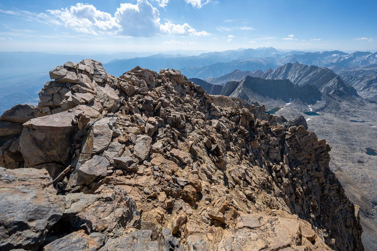
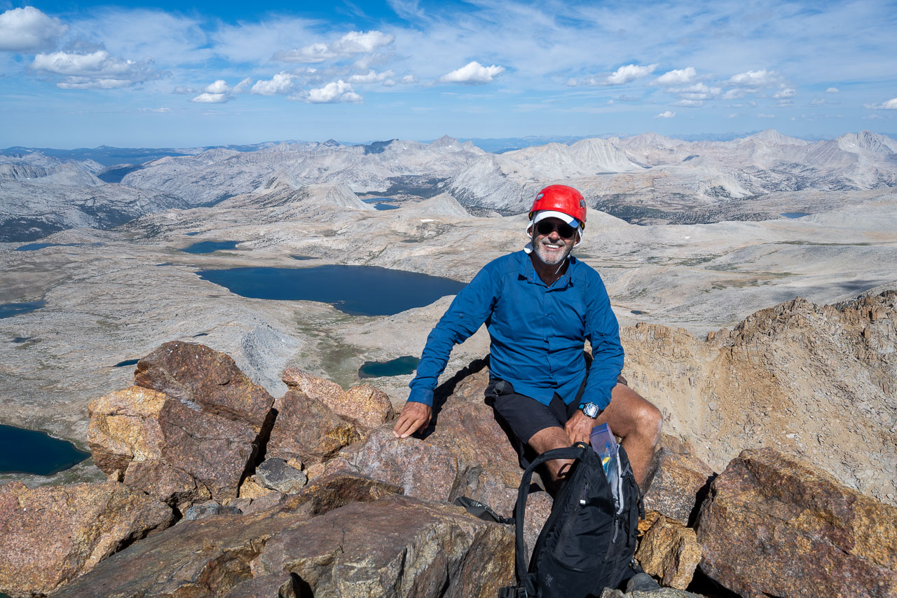
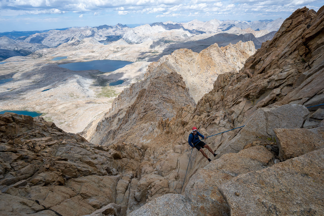
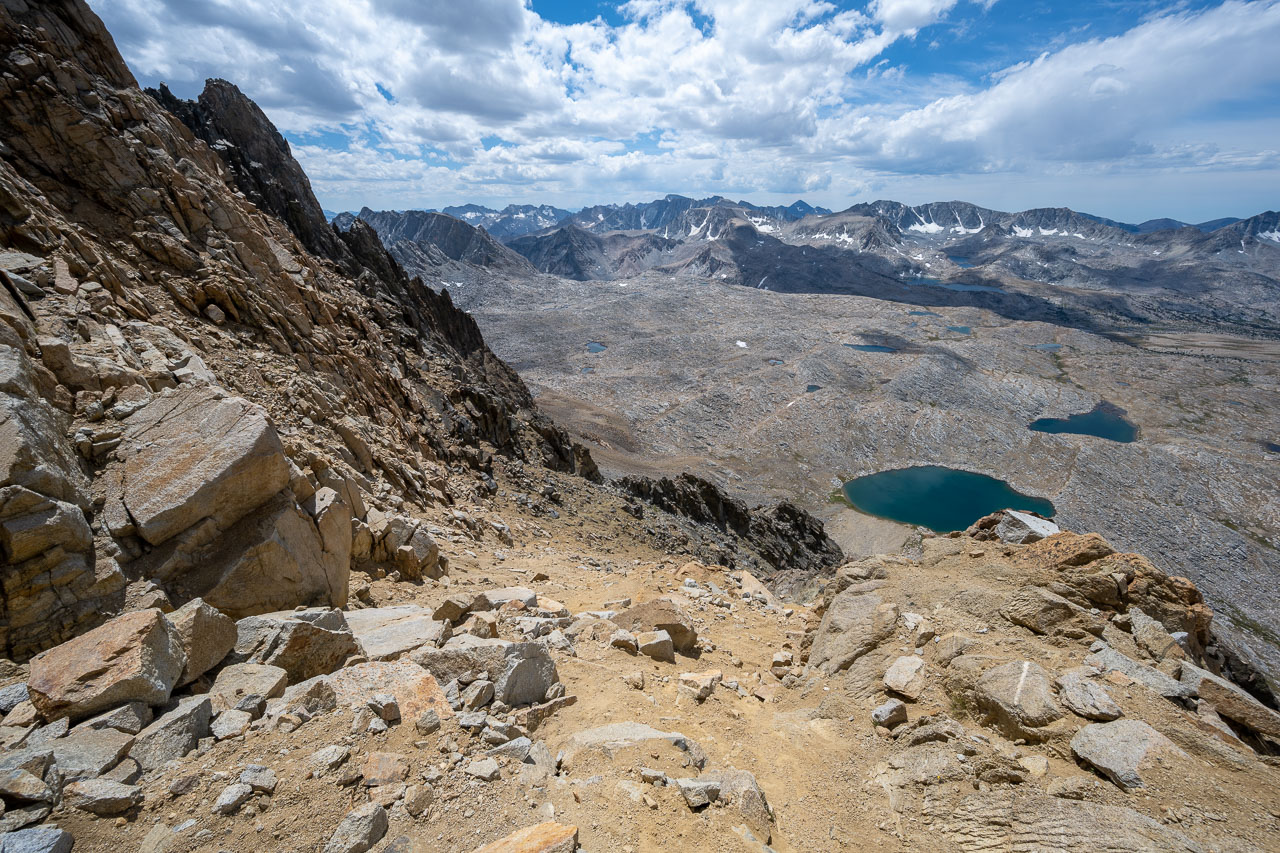
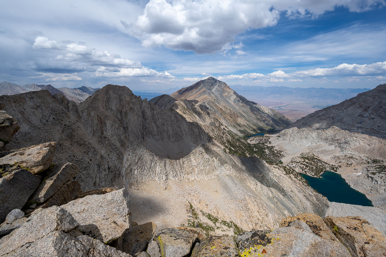
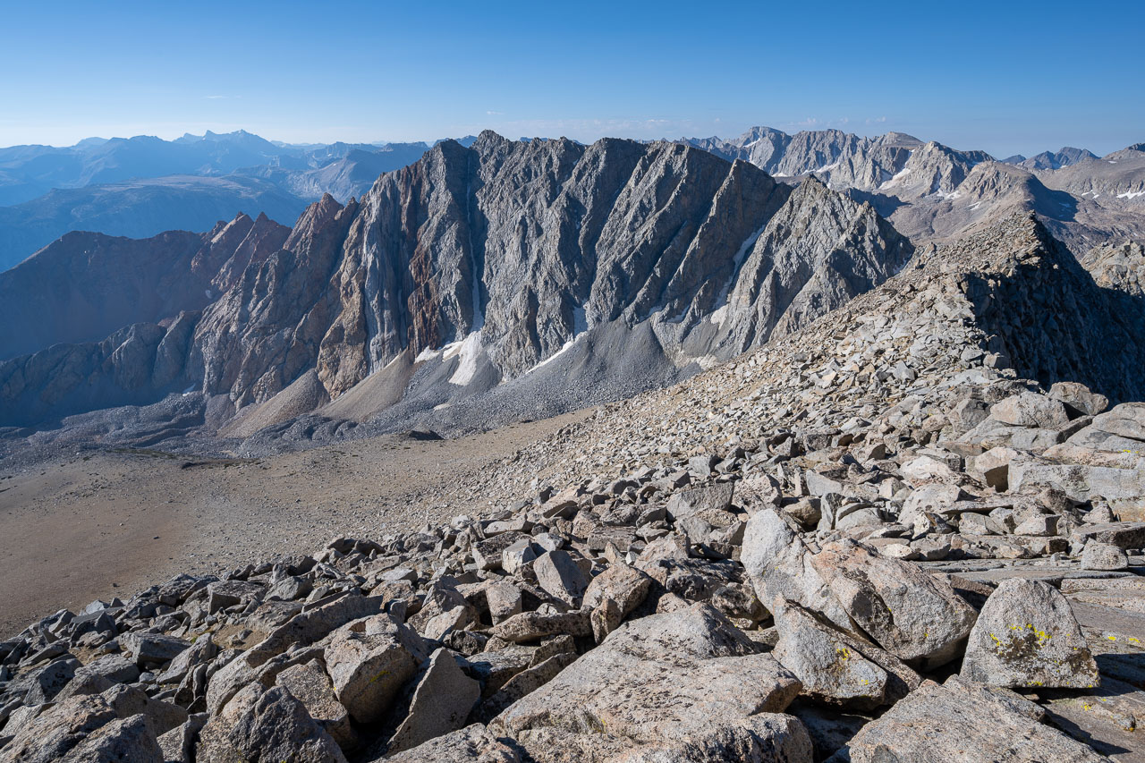
When we arrived at the summit we met another group that had just come up the more difficult Hutchinson route, which is rated at Class 5.4. We talked with them for a little bit then they started down the route we had come up. As expected, there were great views from the summit in all directions. The clouds were starting to build, but it looked like the rain would still hold off for another couple hours. We did two rappels to get down from the summit. The 30m rope we had was just long enough to make both rappels, however there was some Class 3 downclimbing required after the first rappel to reach the second rappel. Once we were back down to the notch in the ridge, we took the standard Class 2/3 ramp and chute the rest of the way down.
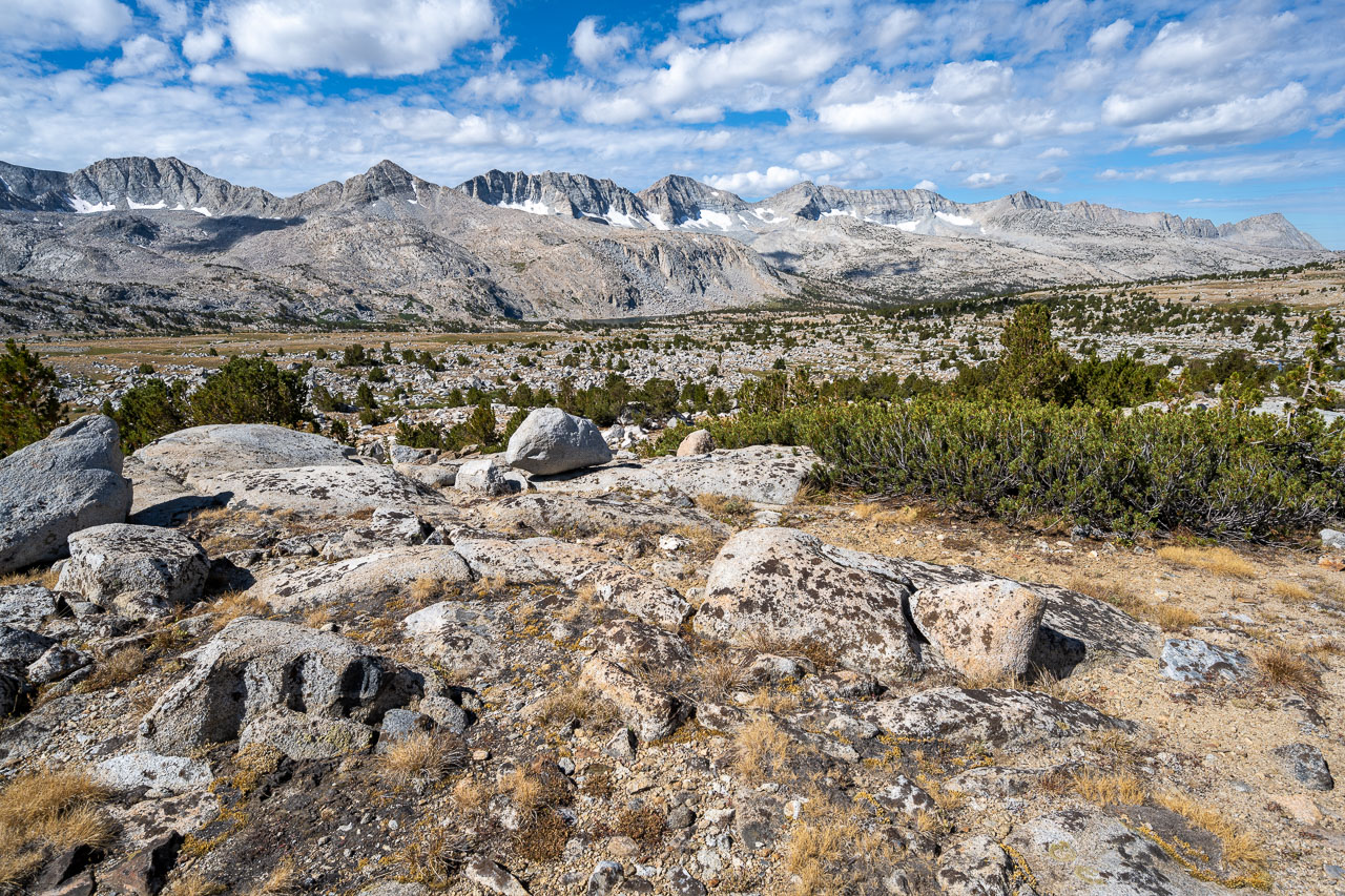
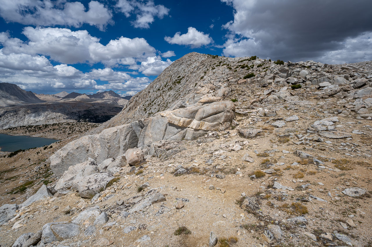
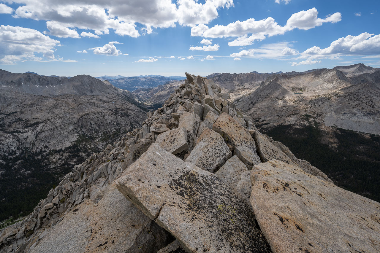
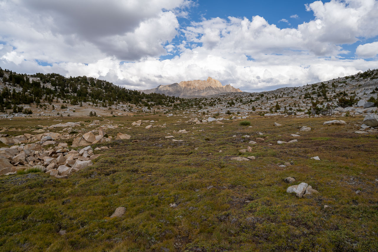
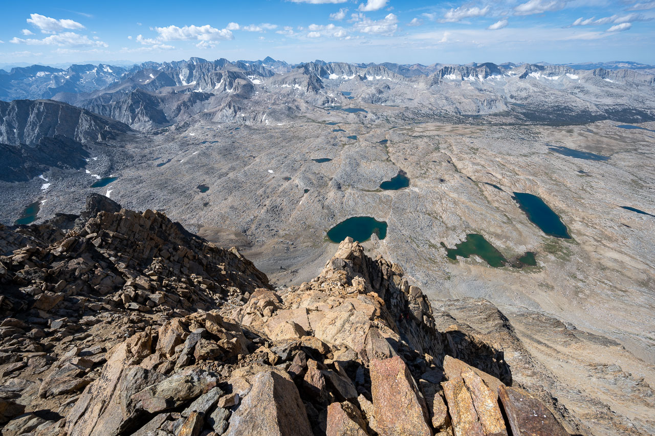
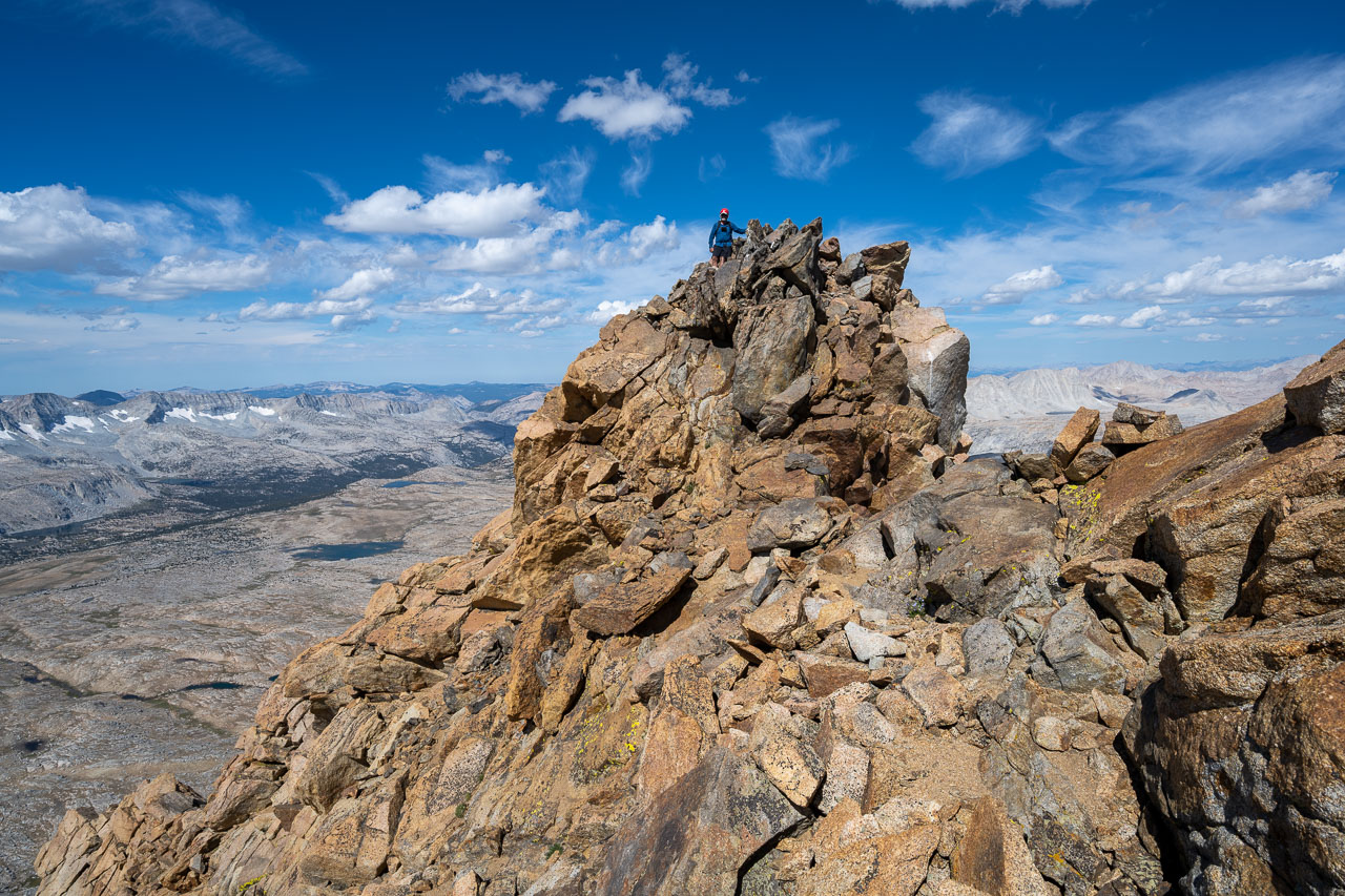
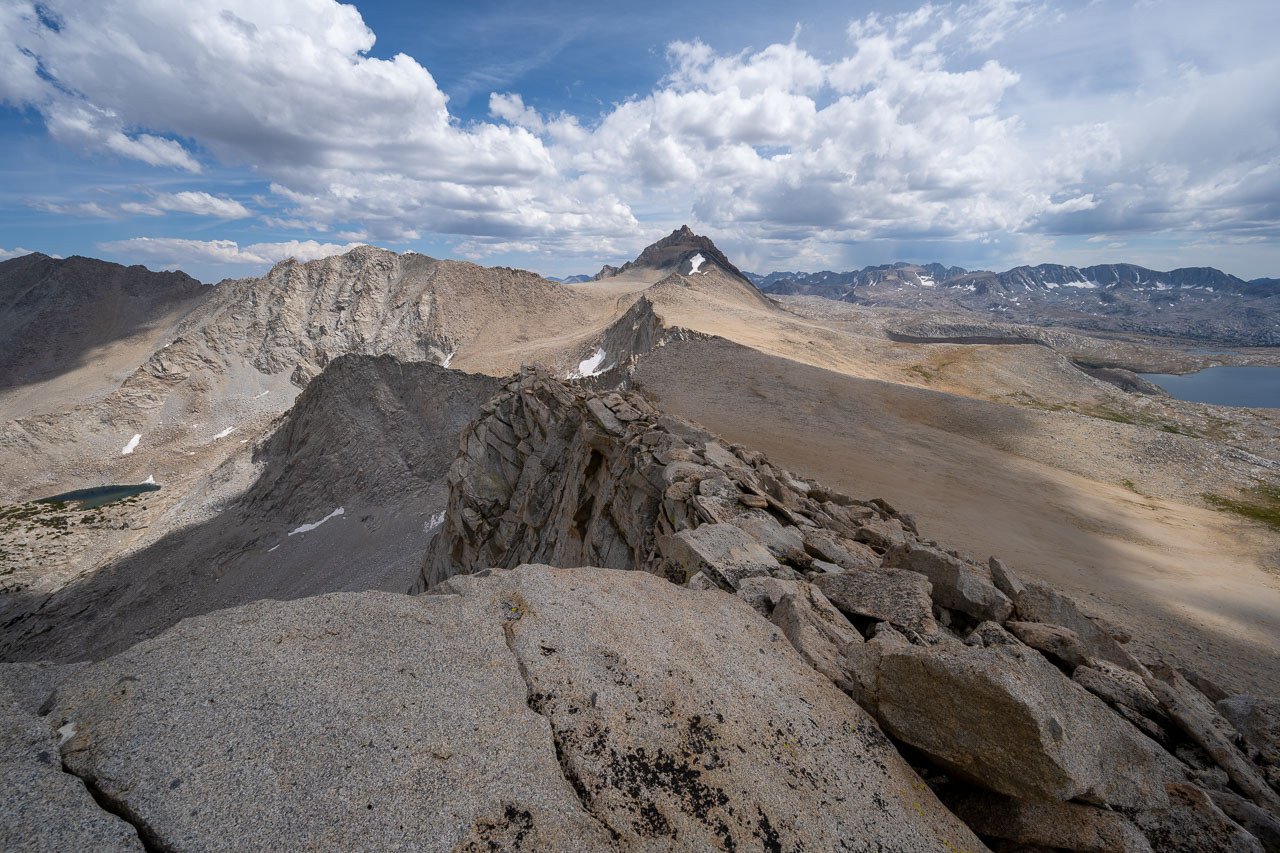
It was early afternoon by the time we got down to the base of the mountain, which left time for a few more peaks I had planned in the area. Four Gables was about three miles to the north, and there were two other unnamed peaks nearby that I wanted to include also. I followed a mostly level traverse on sandy slopes over to Peak 12801, which is actually a little higher than Four Gables but is unnamed on maps. The storm clouds had been building all afternoon to the north, and by the time I started toward Four Gables there was frequent thunder and lightning not far off. A fun Class 3 scramble following the ridge led over to Four Gables. I was concerned about the lightning, so I didn’t stay long at the summit before continuing north.
Peak 12808 was the final peak I was interested in doing before heading back to camp. Unfortunately there is a 400ft drop along the ridge to reach Peak 12808. The ridge looked like it was all Class 2/3, but the storm front was moving in pretty quickly and I figured it wouldn’t be long before is started raining. To help save time I stashed my pack and most of my gear in some rocks along the crest and the started for Peak 12808. I stuck mostly to the rocky ridgeline on the way over then took a sandy chute on the way back. Just before I got back to my pack it started raining hard. There was thunder and lightning nearby and I could feel a little bit of electricity in the air. I quickly made my down the broad canyon on the south side of Four Gables. The area was still pretty exposed, but at least I had a higher ridgeline on both sides of me. Eventually the thunder cell moved off to the east, but there was still consistent rain most of the way back to camp. Conditions cleared in the late afternoon before another even bigger cell moved through that evening. For several hours lightning would light up the night sky every 5-10 seconds as rain was pounding down on the tent. Thankfully conditions cleared overnight, and we would have a nice sunny hike out for the final day.
14.7 Miles, 3700 Gain
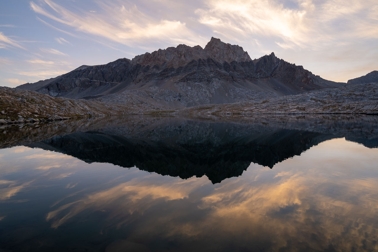
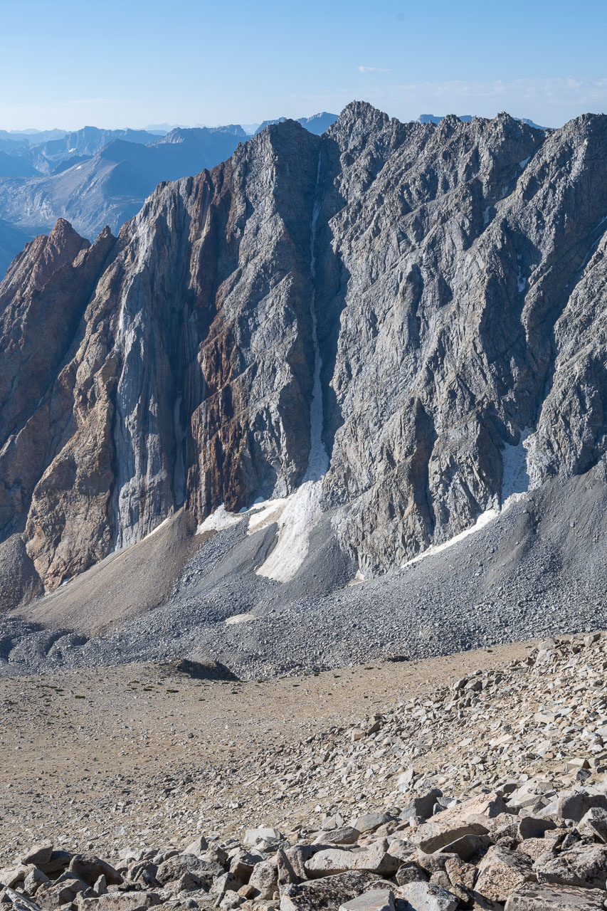
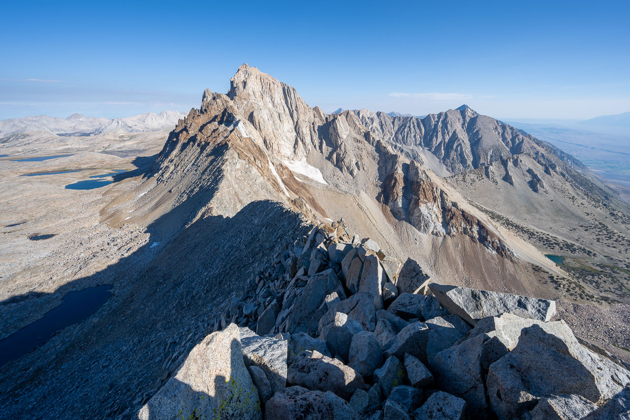
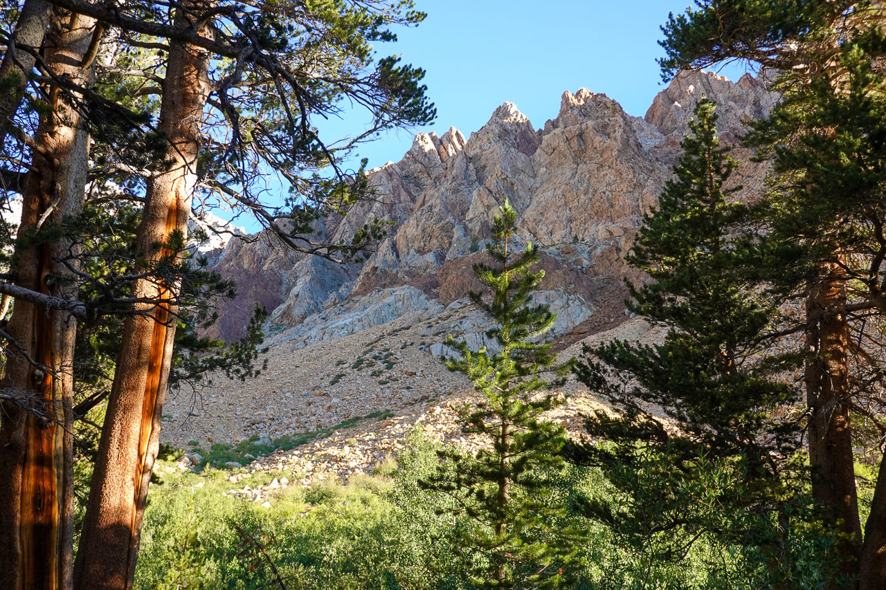
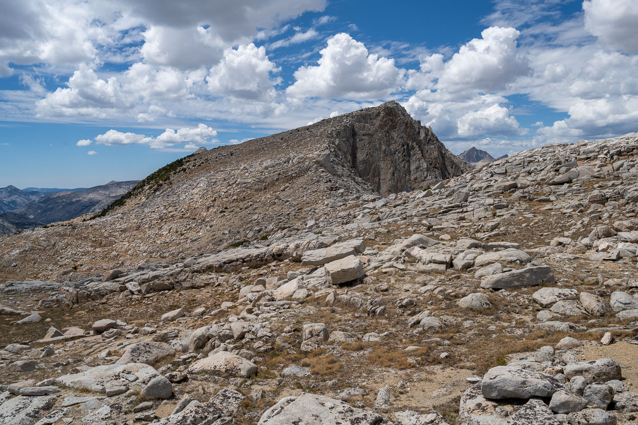
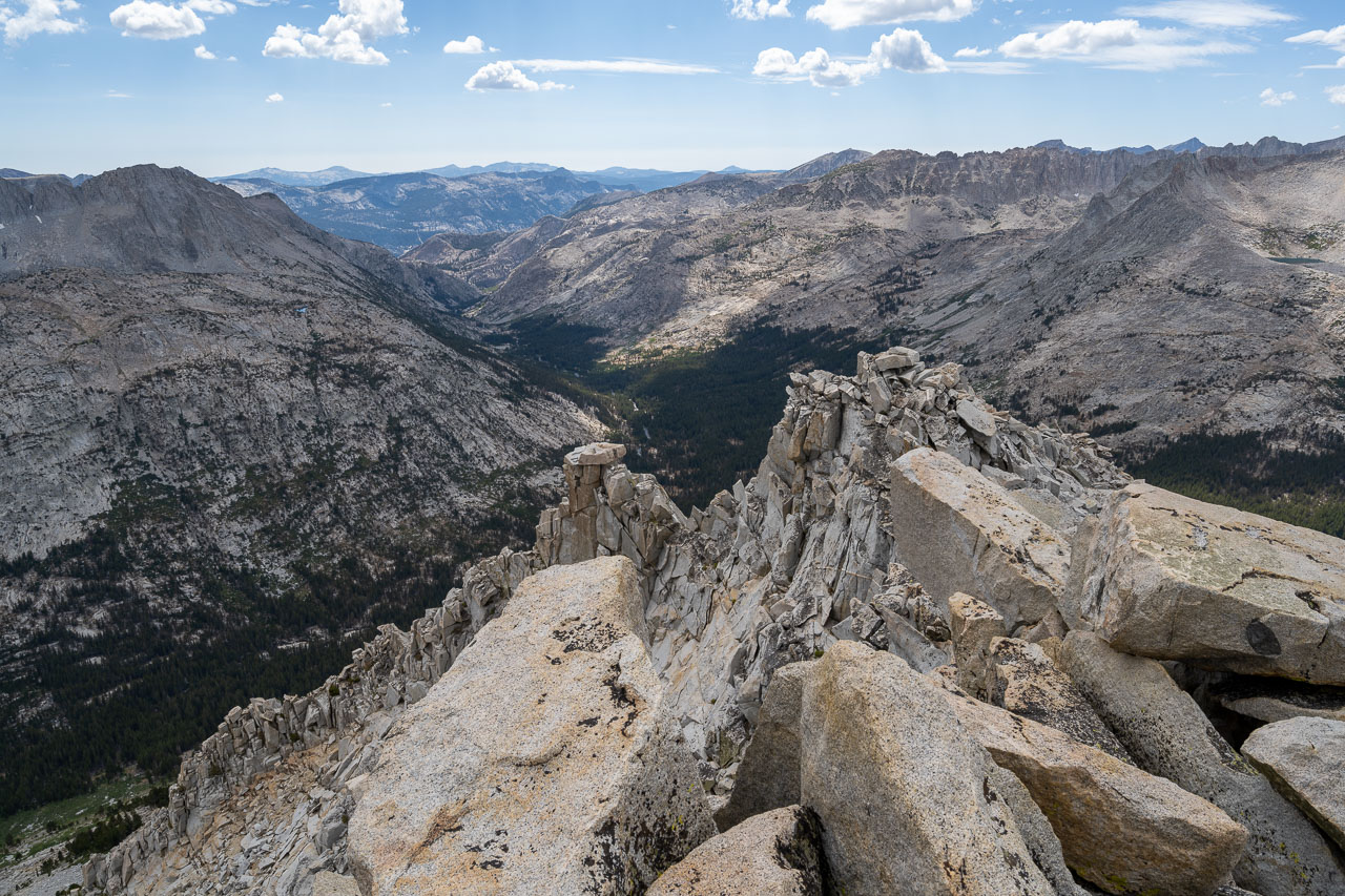
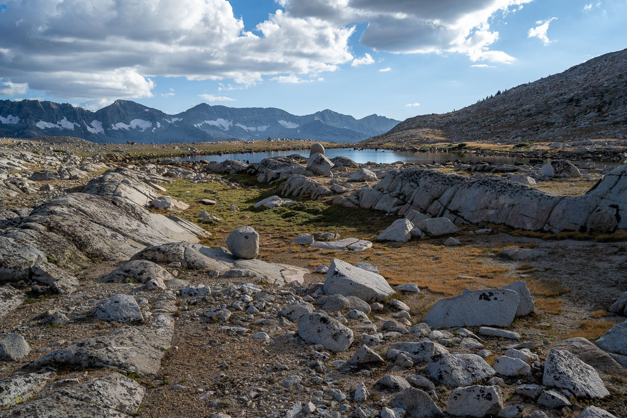
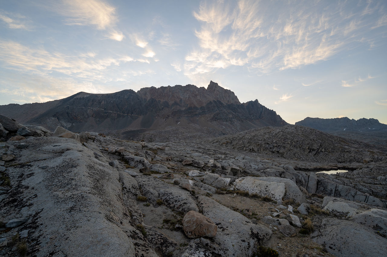
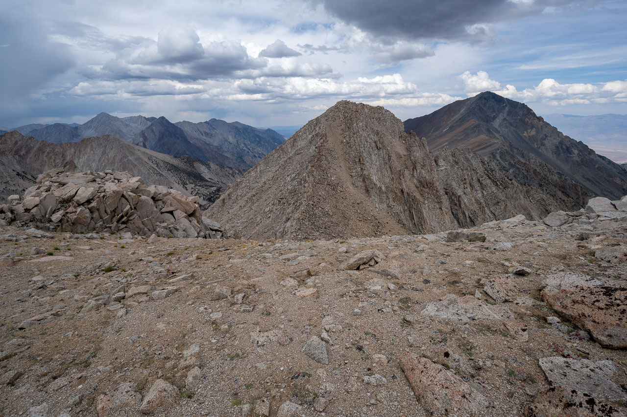
For the hike out I was planning to include Checkered Demon and Mount Emerson before heading back to the car. In the morning, I packed up camp and took a similar route across Humphreys Basin that we had used the previous day for Humphreys. At Humphreys Lakes I stopped to enjoy the sunrise, which had backlit Mount Humphreys and was lighting up the Glacier Divide to the south. Not far beyond Humphreys Lakes, I arrived at the unnamed lakes at the base of Checkered Demon. From the lake I could see a notch in the ridge on the north side of the highpoint that looked like it would provide good access to the summit ridge. I took a Class 2/3 slope up to the notch and got my first view of the colorful north face of Checkered Demon. From the notch, I stuck mainly to the west side of the ridge to keep things at Class 3 all the way up to the summit. There was a good view over to Mount Emerson from the summit, including the North Couloir that still had a thin tongue of snow. I retraced my route back to my pack and then continued south over to the base of Mount Emerson.
I left my pack tucked in some rocks at the base of the peak, then started across the boulder field leading to the west slope of Mount Emerson. After a short Class 3 section it was mostly all Class 2 leading up to the western summit of Mount Emerson. From the top I could see across to the eastern summit, which is slightly taller and about a half mile further along the ridge. Some fun Class 3 scrambling led most of the way over to the summit. Just before reaching the highpoint there is a steeper section that I bypassed on the south side using a ledge a few hundred feet below the summit. From there some more Class 3 led up to the summit. To get back, I retraced my route to my pack, then dropped down Piute Pass and took the trail back to the parking area. Overall it was a fun weekend, and I am glad to have finally gotten a chance to do Mount Humphreys and check out some of the peaks in the Humphreys Basin.