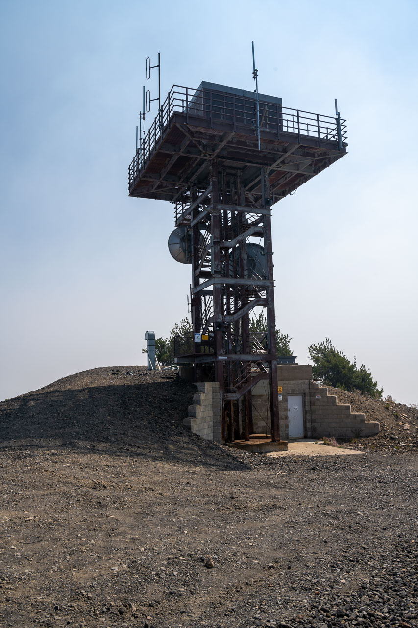
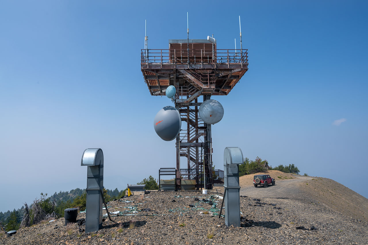
Summit lookout tower atop Pelican Butte. With a 4WD vehicle it is possible to drive all the way to the summit.
Vents for a bunker built into the hillside.
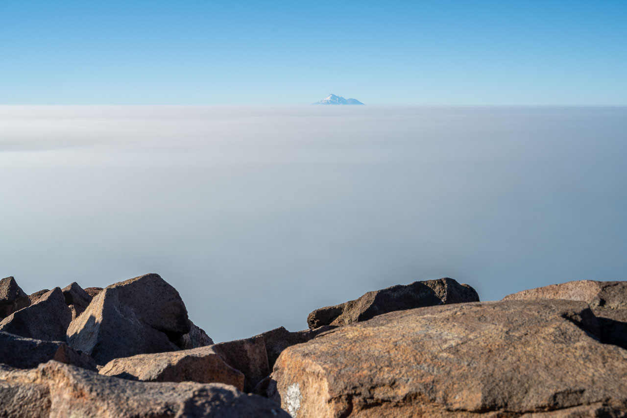
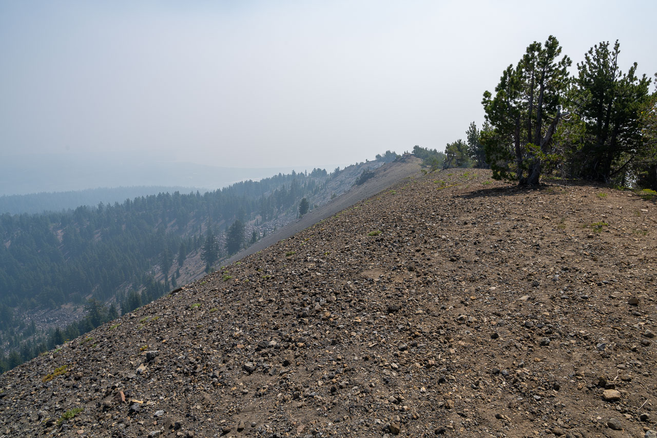
Hazy view from the summit. I was originally planning to spend the afternoon at Crater Lake, but with all the haze I decided to head for the coast instead.
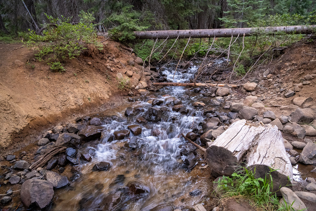
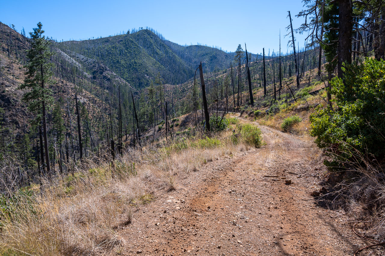
The 4WD road leading toward Chetco Pass begins just across the bridge. The road was a little narrow in places, but overall not too bad.
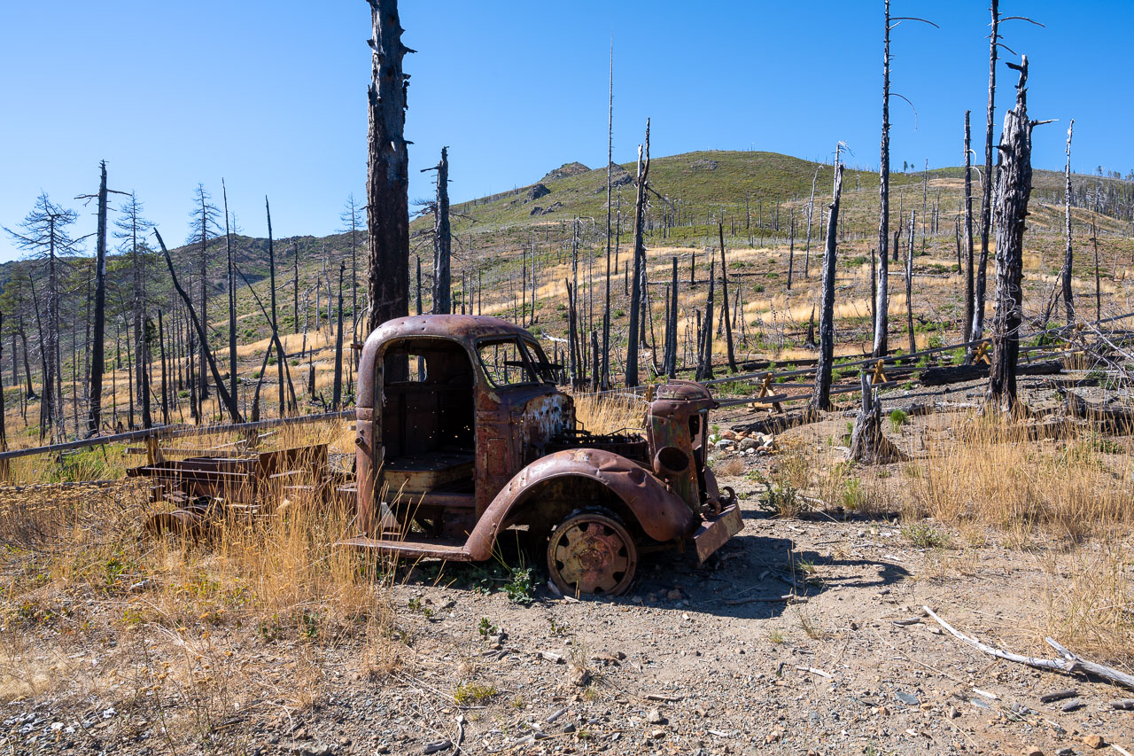
Old vehicle at Chetco Pass. Fires in the last couple years have burned much of the surrounding terrain.
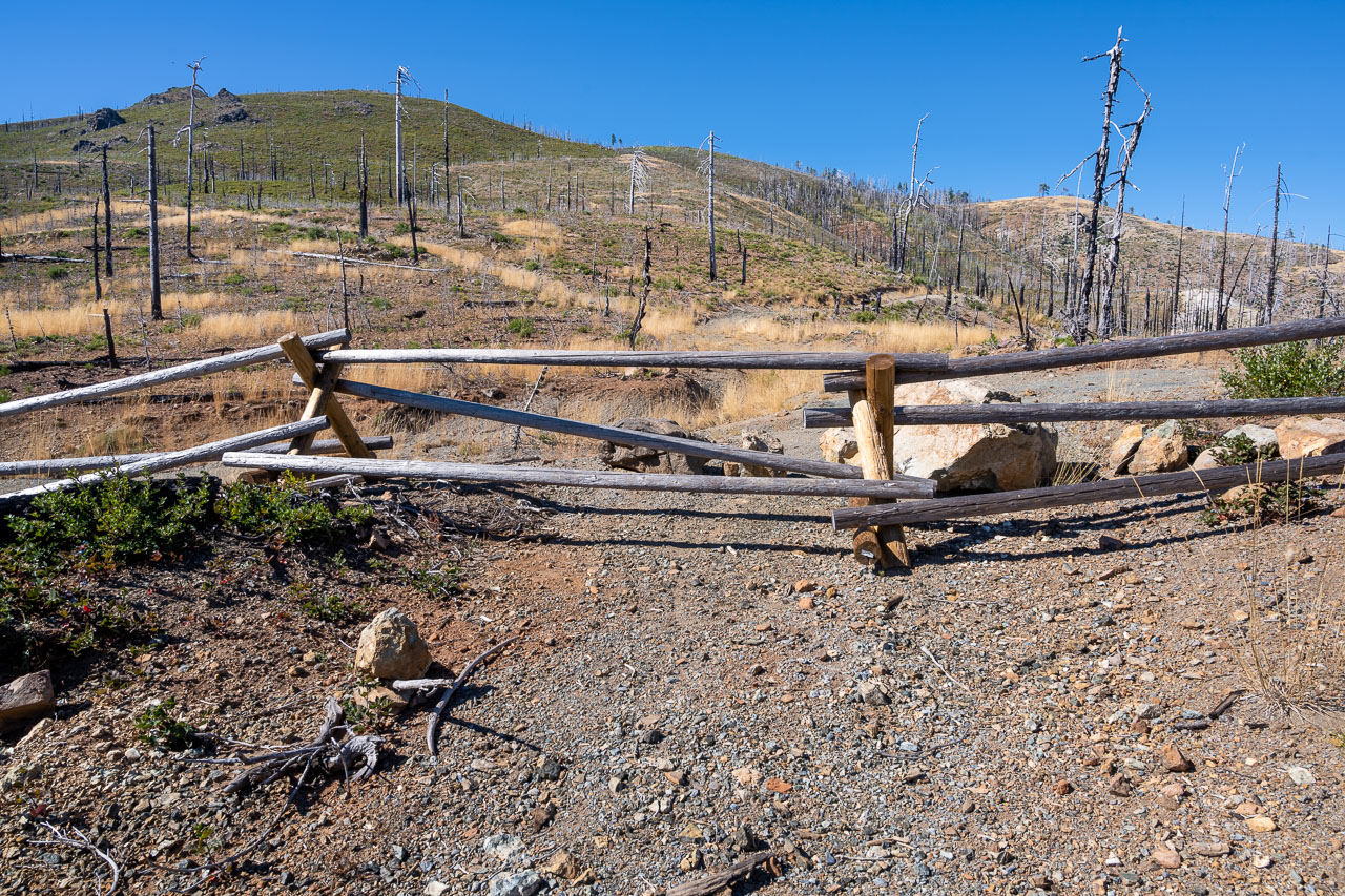
Fence blocking the road leading to Pearsoll Peak. If the fence wasn’t there it would be possible to drive over to the base of the peak.
Eagle Mountain on the south side of Chetco Pass.
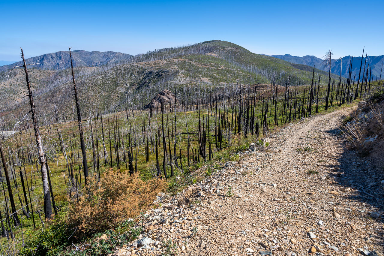
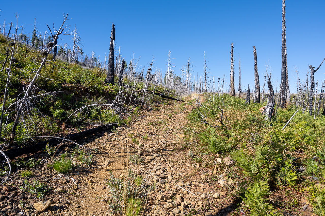
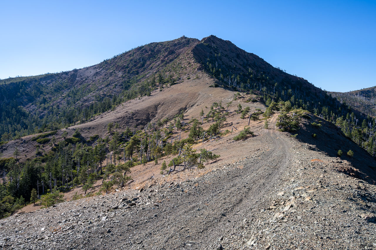
Following the road to Pearsoll Peak.
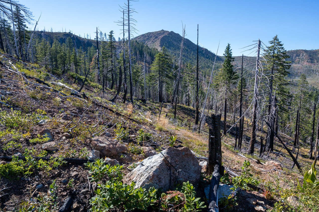
Pearsoll Peak in the distance.
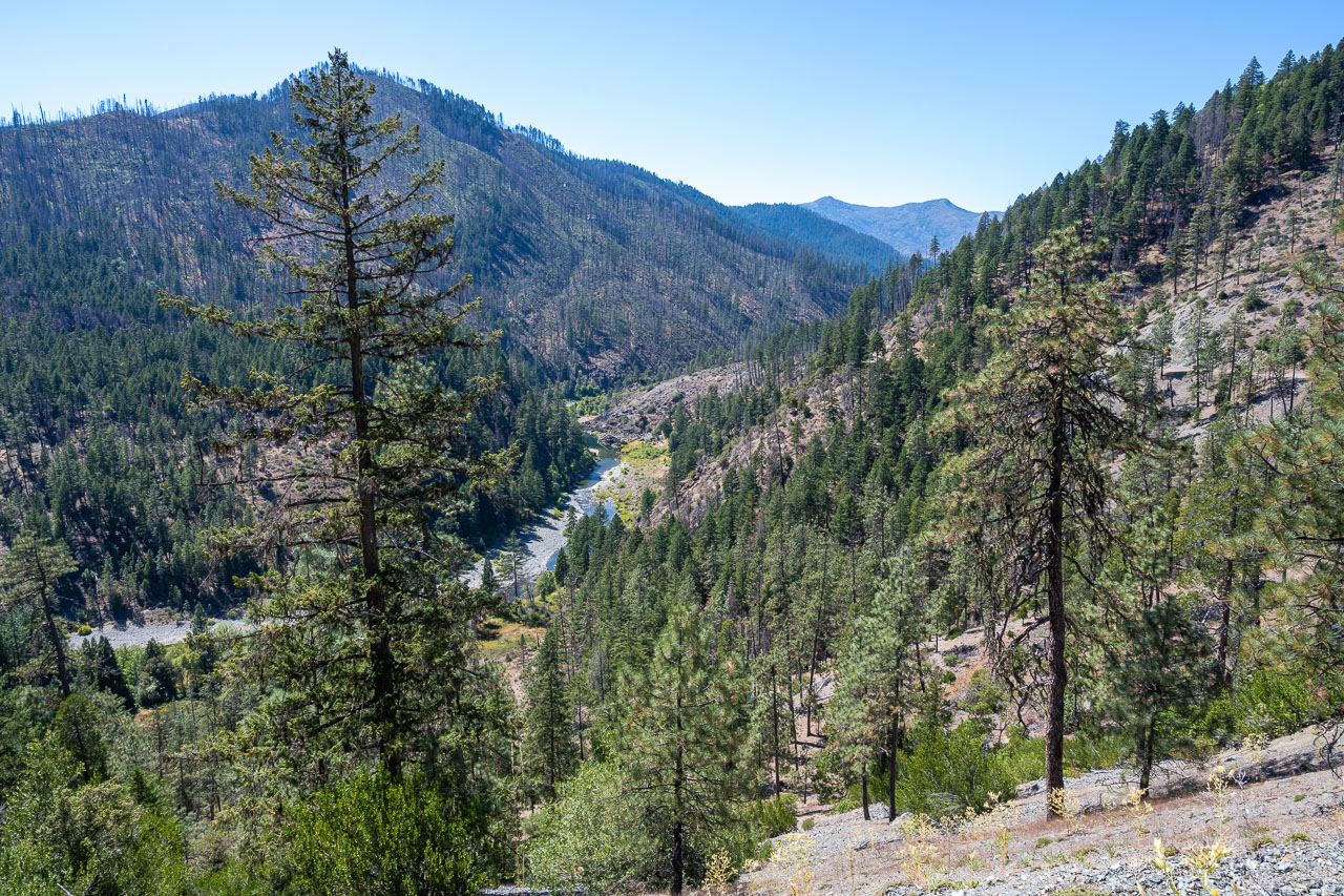
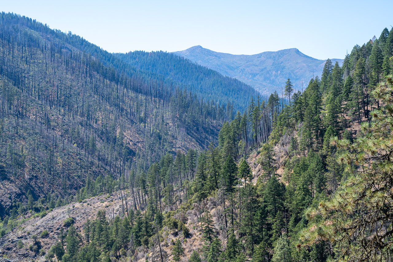
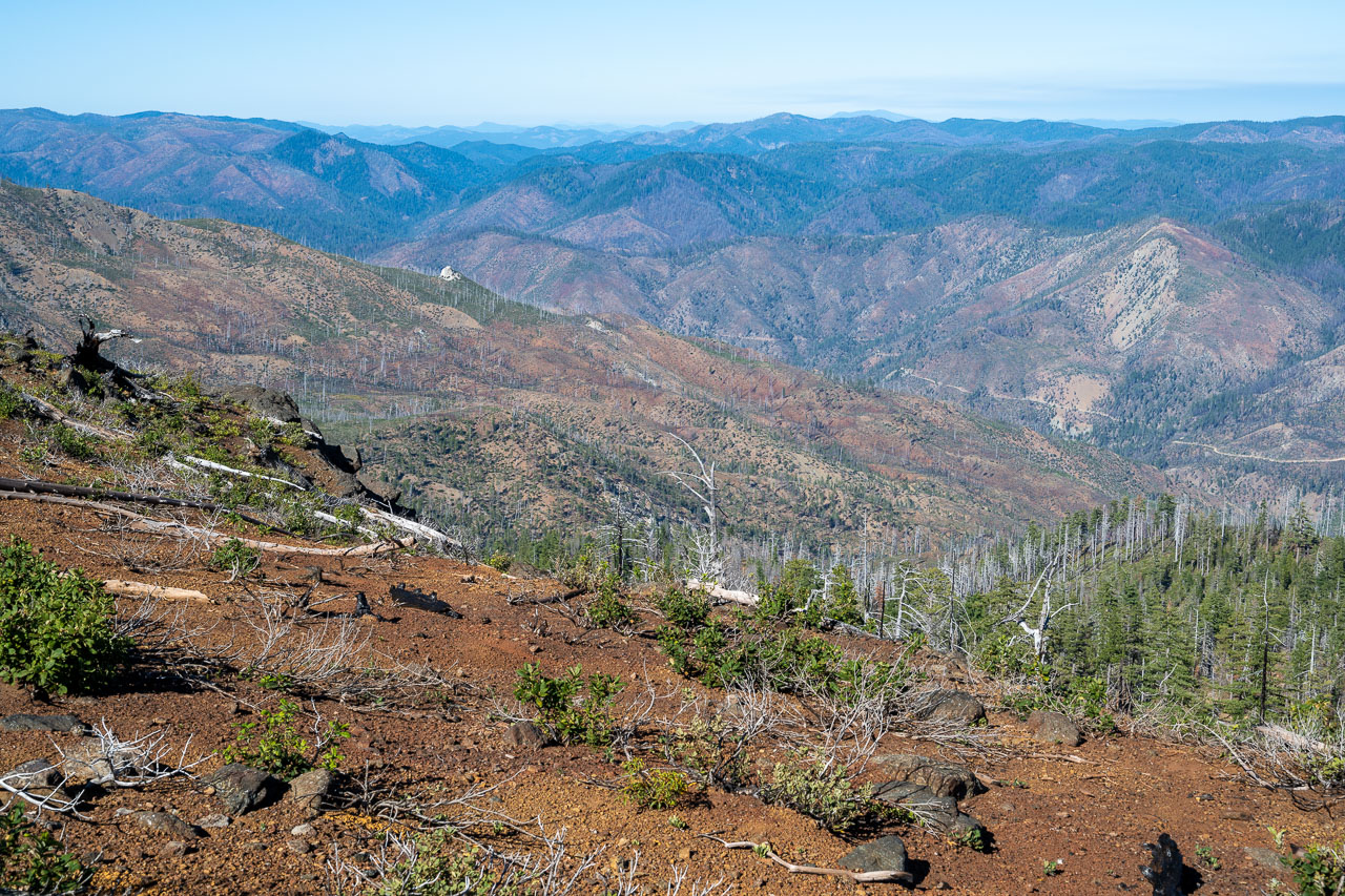
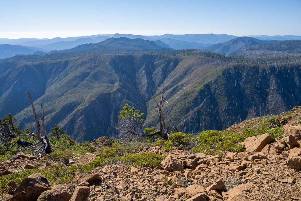
Illinois River and surrounding mountains.
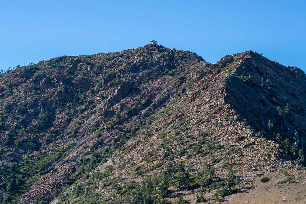
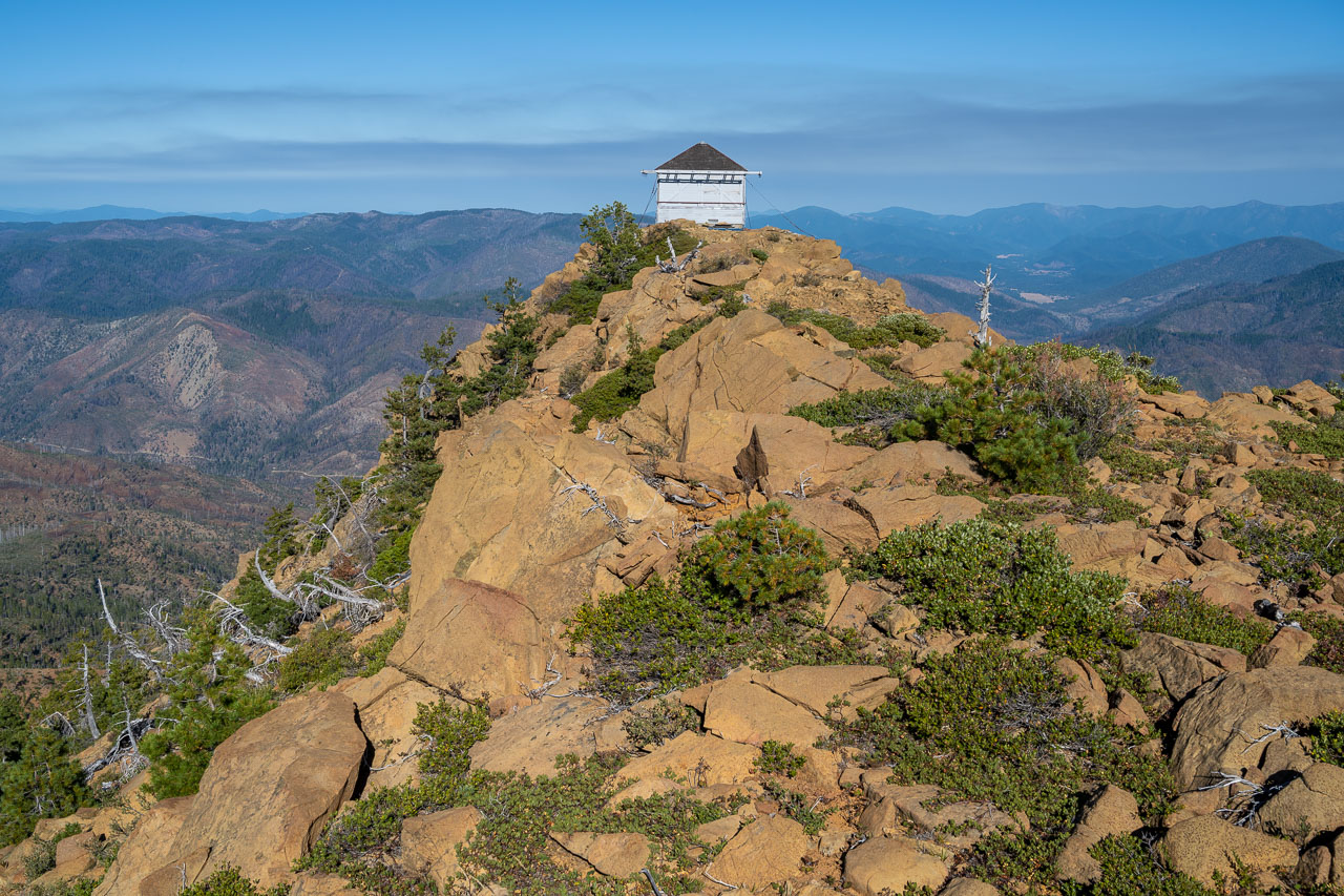
Fire lookout atop Pearsoll Peak.
Approaching Pearsoll Peak.
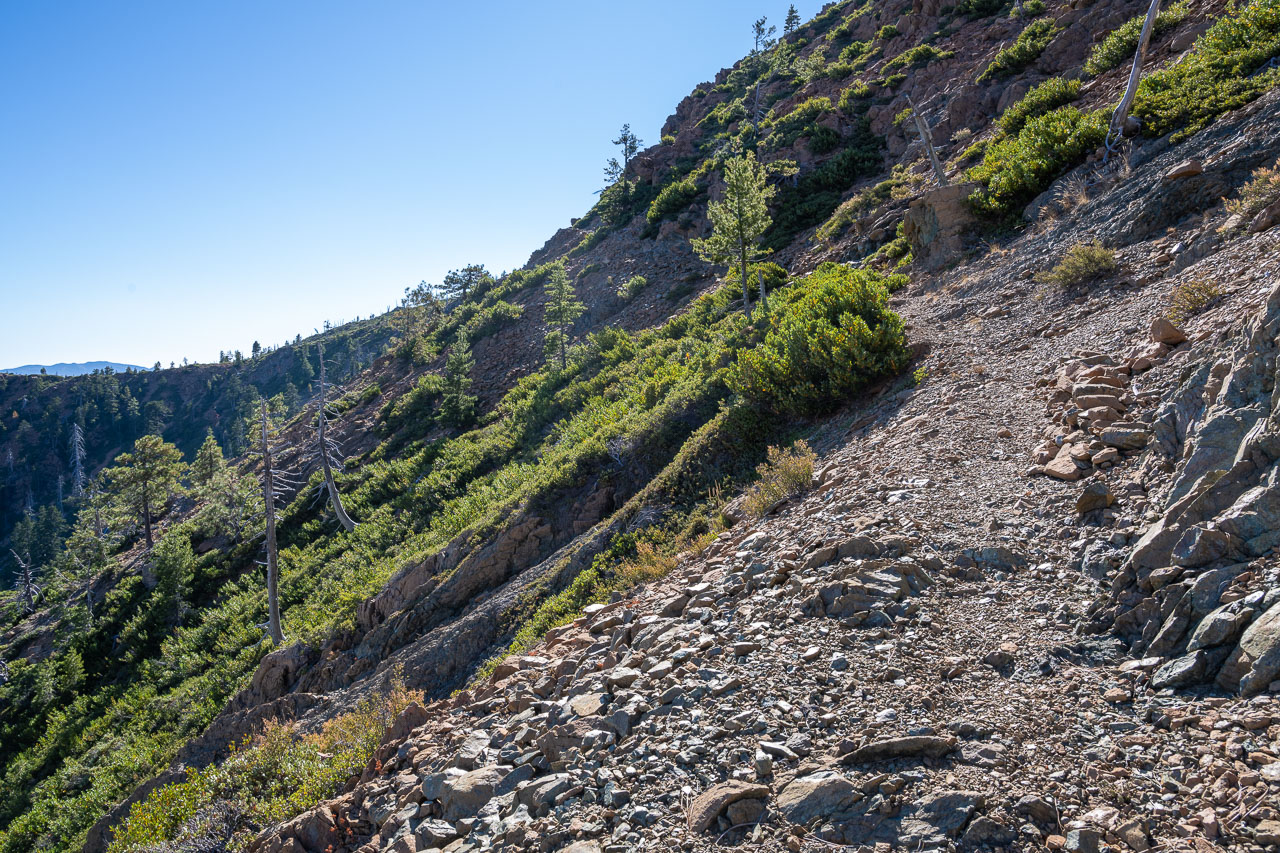
Trail leading across the south slope.
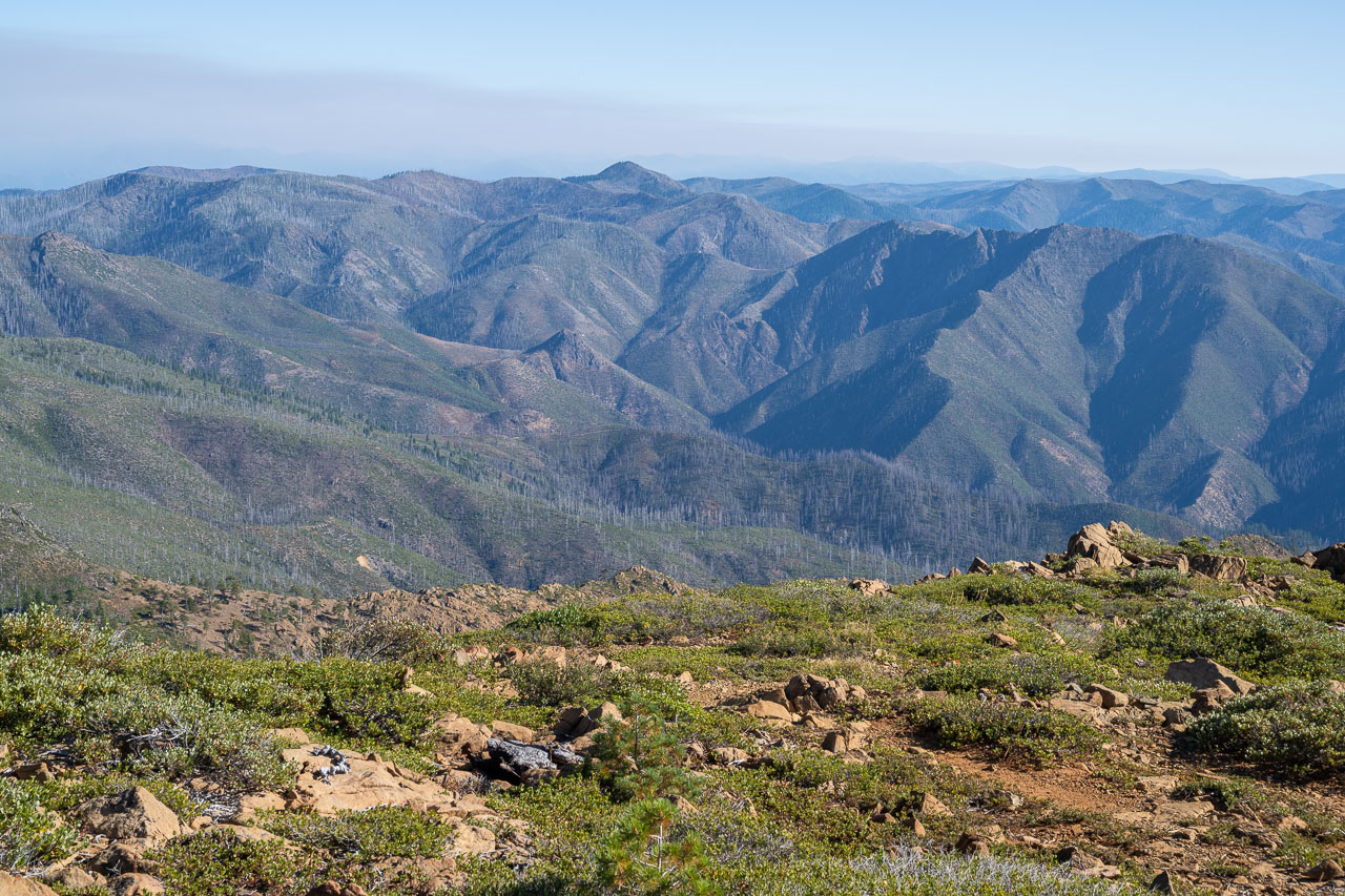
View west from near the summit.
Fire lookout at the summit.
Gold Basin Butte to the north.
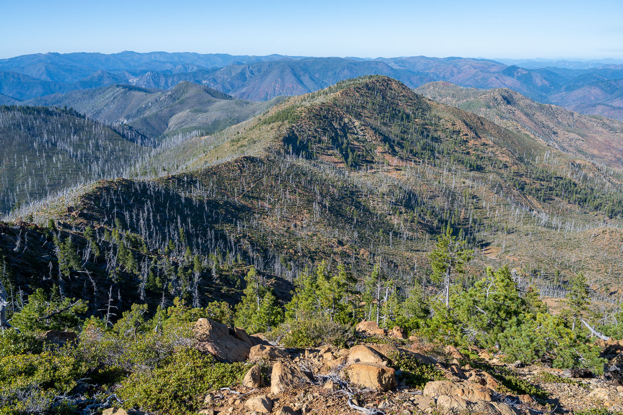
View southwest from the summit.
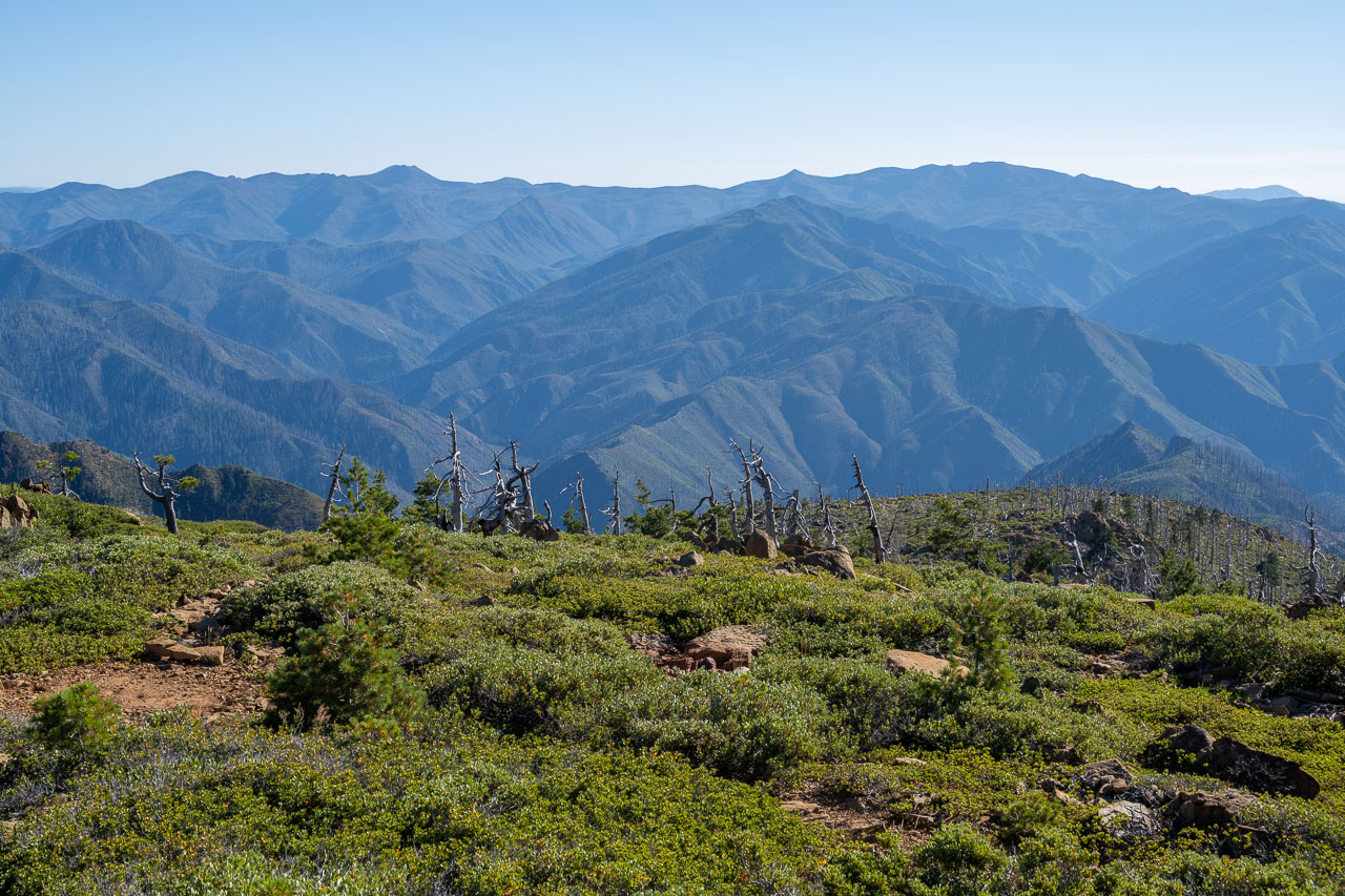
View northeast from the summit.
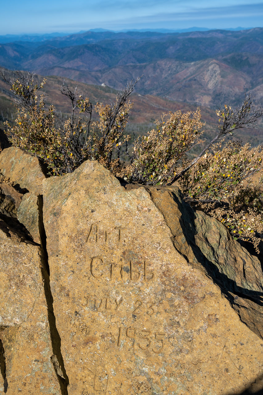
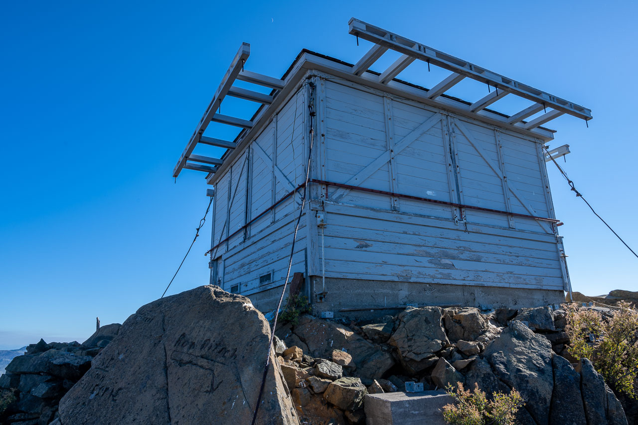
Rock carving from 1935.
Fire lookout boarded up.
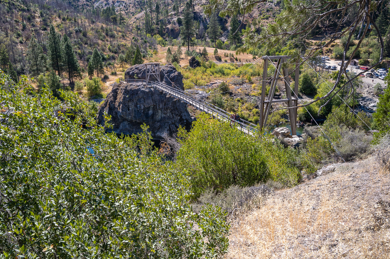
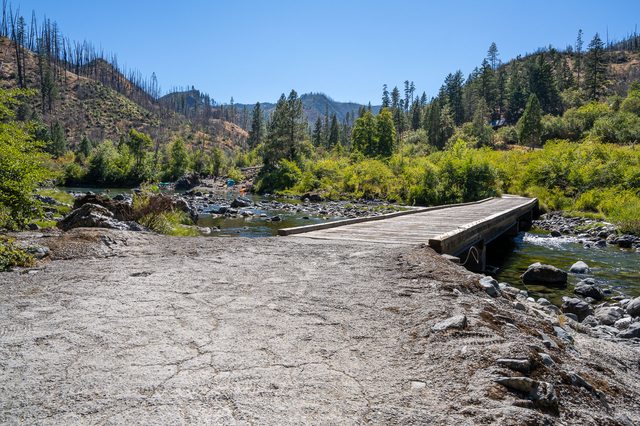
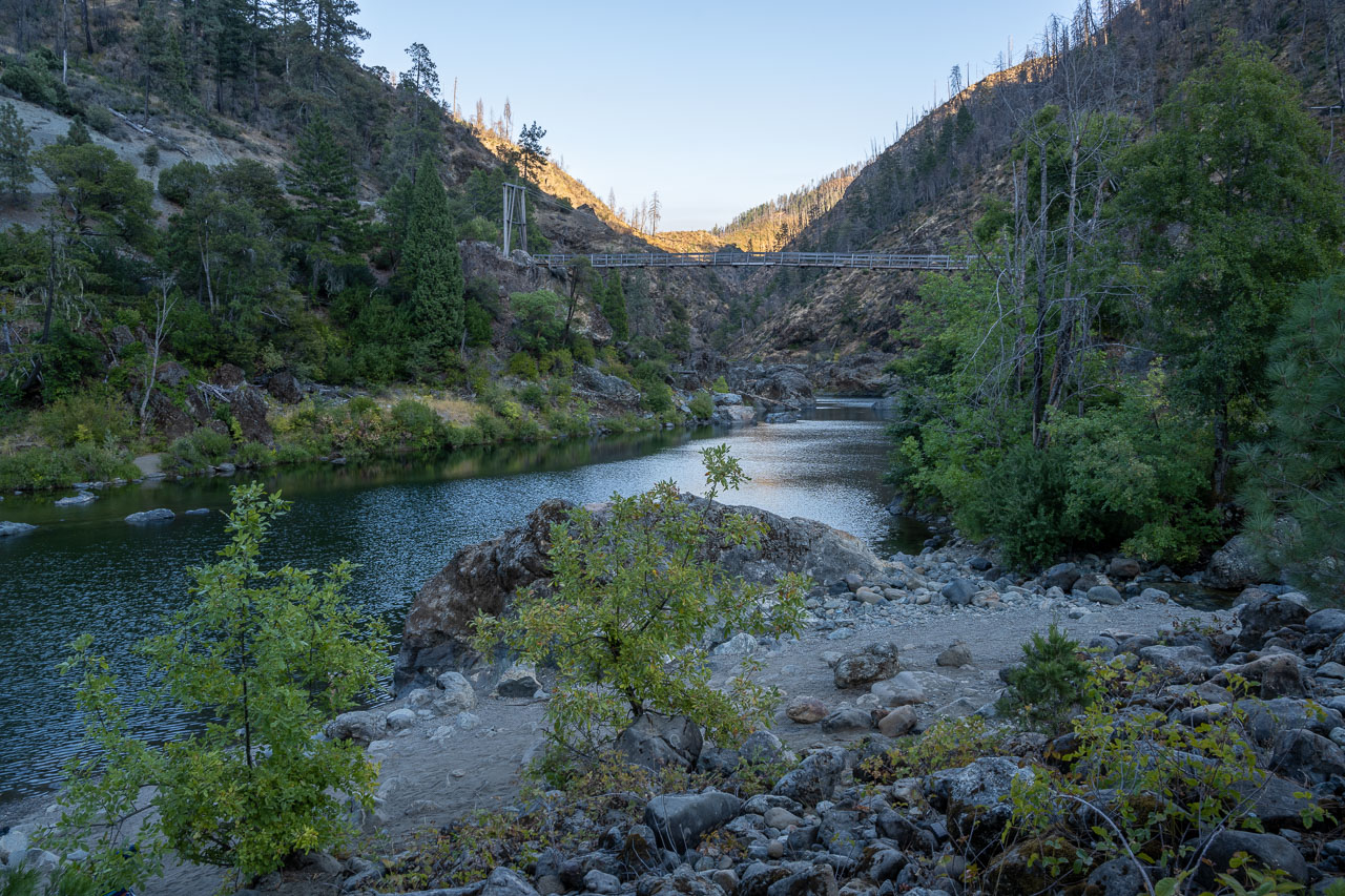
Back at the Illinois River. After spending some time studying the map I decided to drive out to the coast for a hike the following day. According to the smoke forecast it was one of the only areas on the west coast that was mostly smoke free.