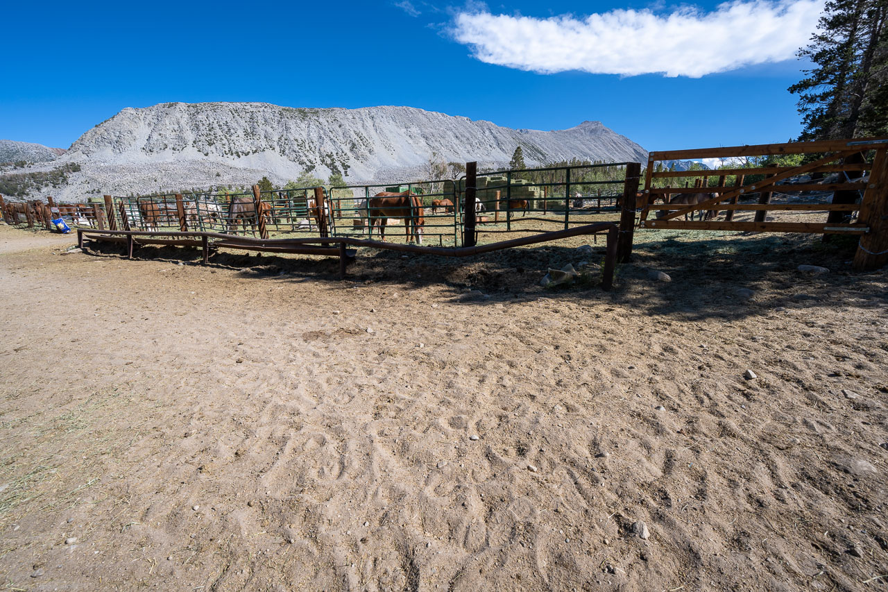
Today would be my first time participating in the Sierra Challenge. I had read plenty of Bob’s trip reports over the years, so I was looking forward to getting a chance to meet him in person. I had driven in to Rock Creek Lake the previous evening and car camped near the lake. In the morning, I made it over to the pack station a little before 6AM to find a large group getting ready for the hike. During a normal year I think there is more of a gathering before the start of the hike, but with the pandemic we all started hiking up the road to the pack station at the 6AM start time.
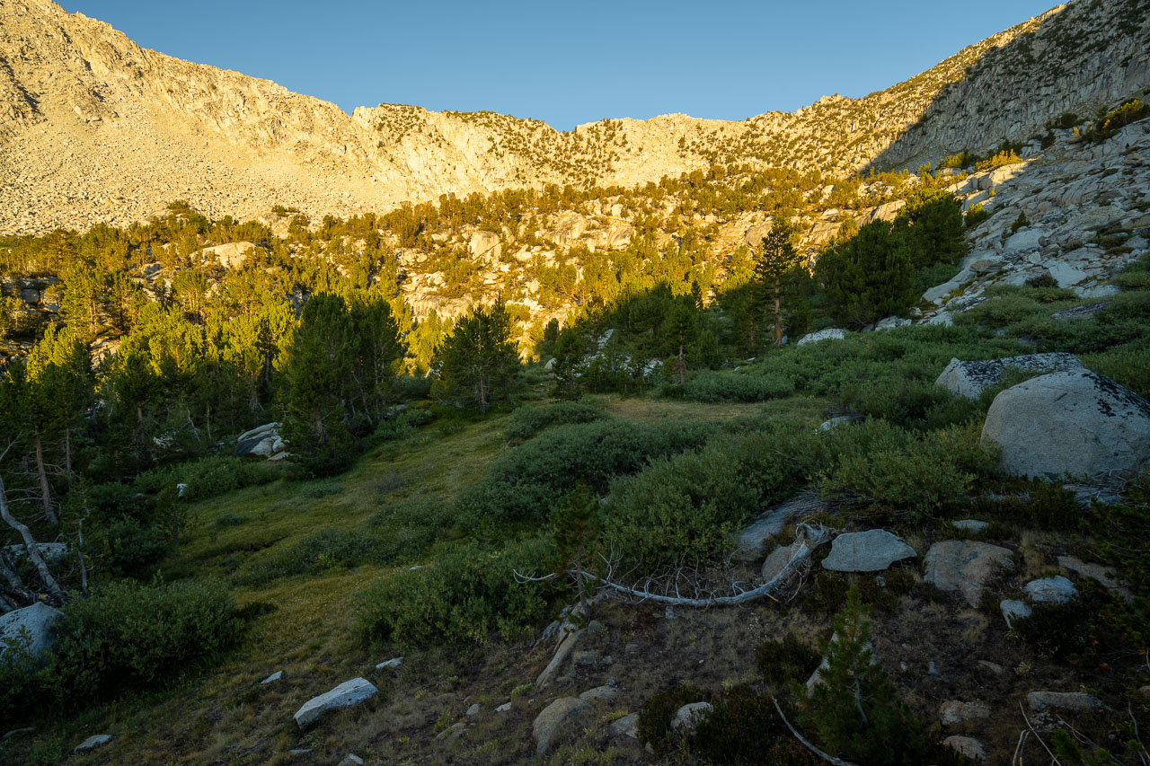
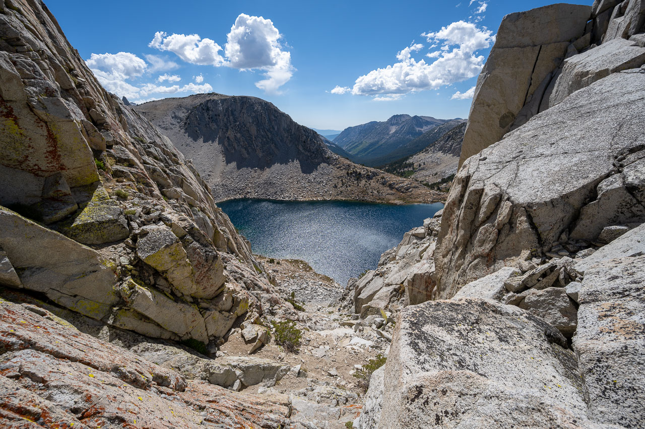
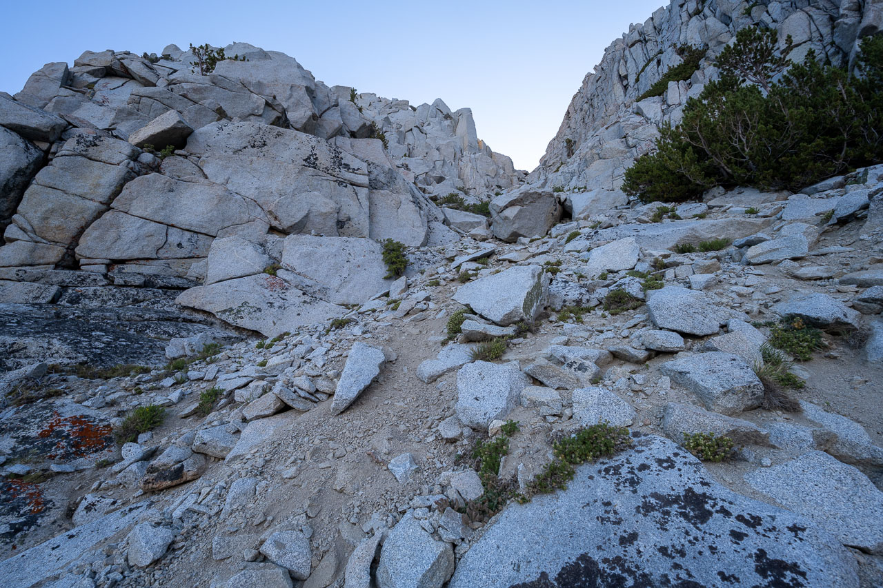
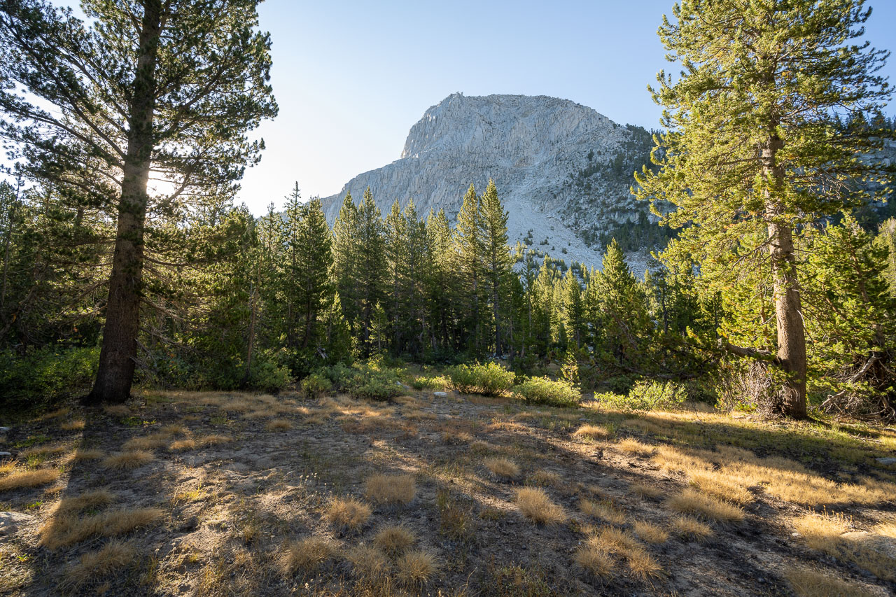
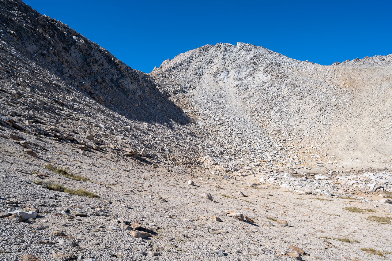
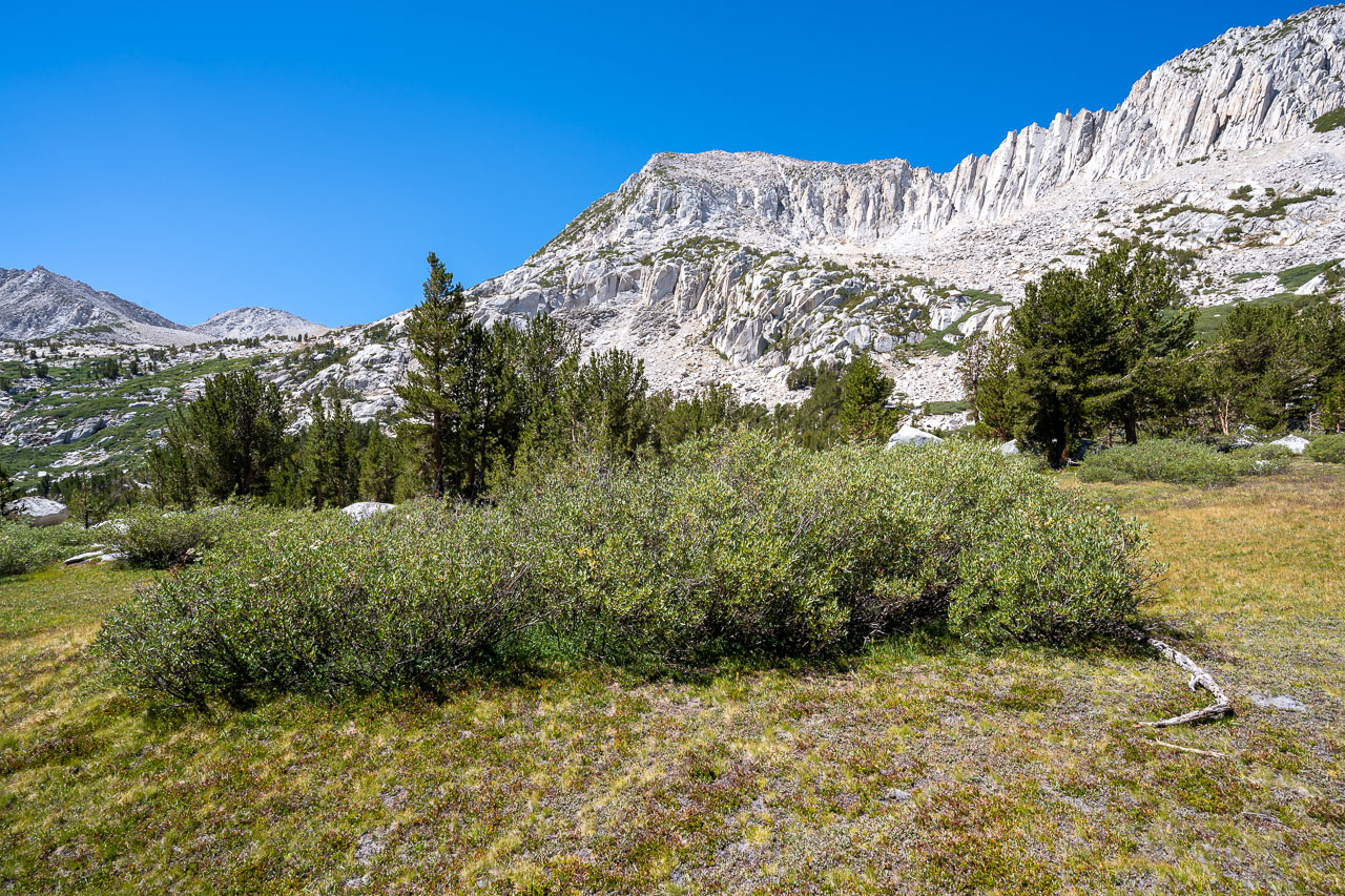
The group was heading for Larkins Peak, an unofficially named peak that is a combination of Laurel and Hopkins (the name of the two nearby creeks). After some initial confusion at the Pack Station, we found the use trail leading to Half Moon Pass. The trail started off easy to follow, then became less well defined as we got closer to the pass. The key to getting over the pass is locating the correct notch in the ridgeline, which is a little further left (south) then would seem obvious from below. I had been over the pass once before on my way to Starr and Ruby, which definitely helped with route finding.
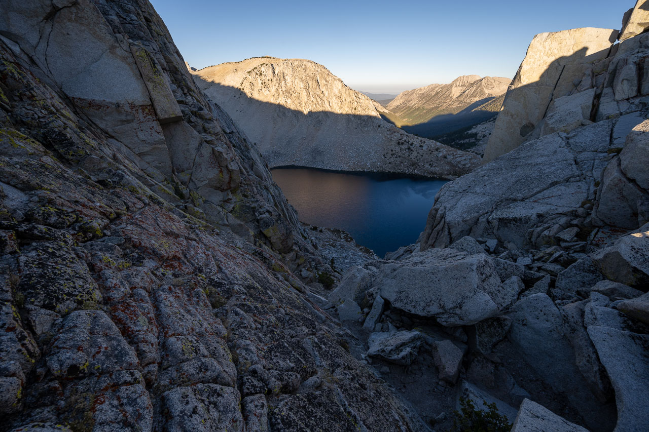
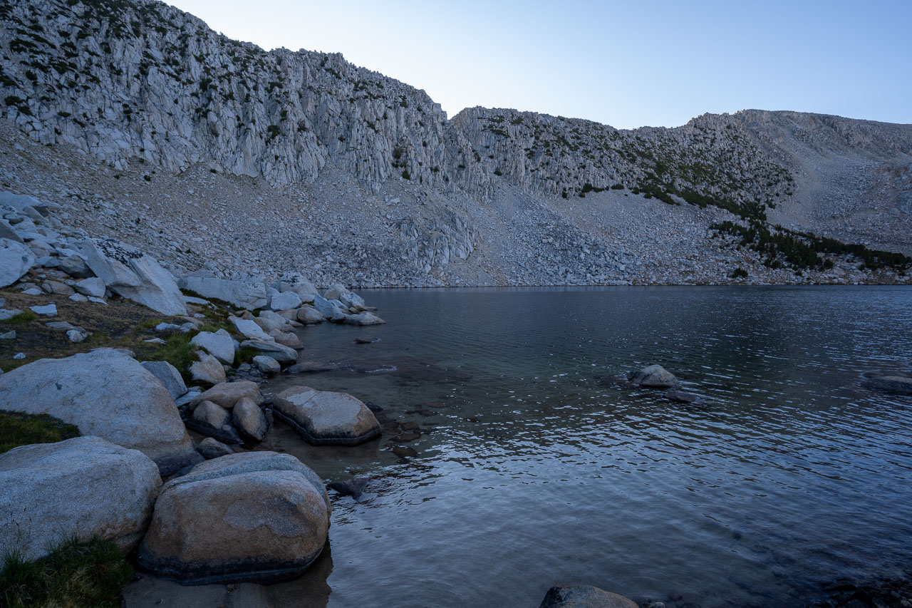
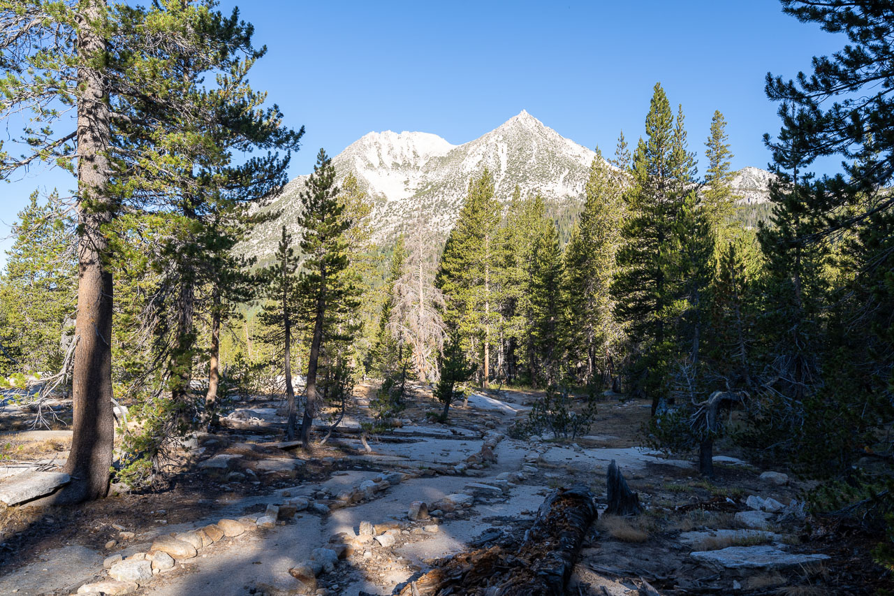
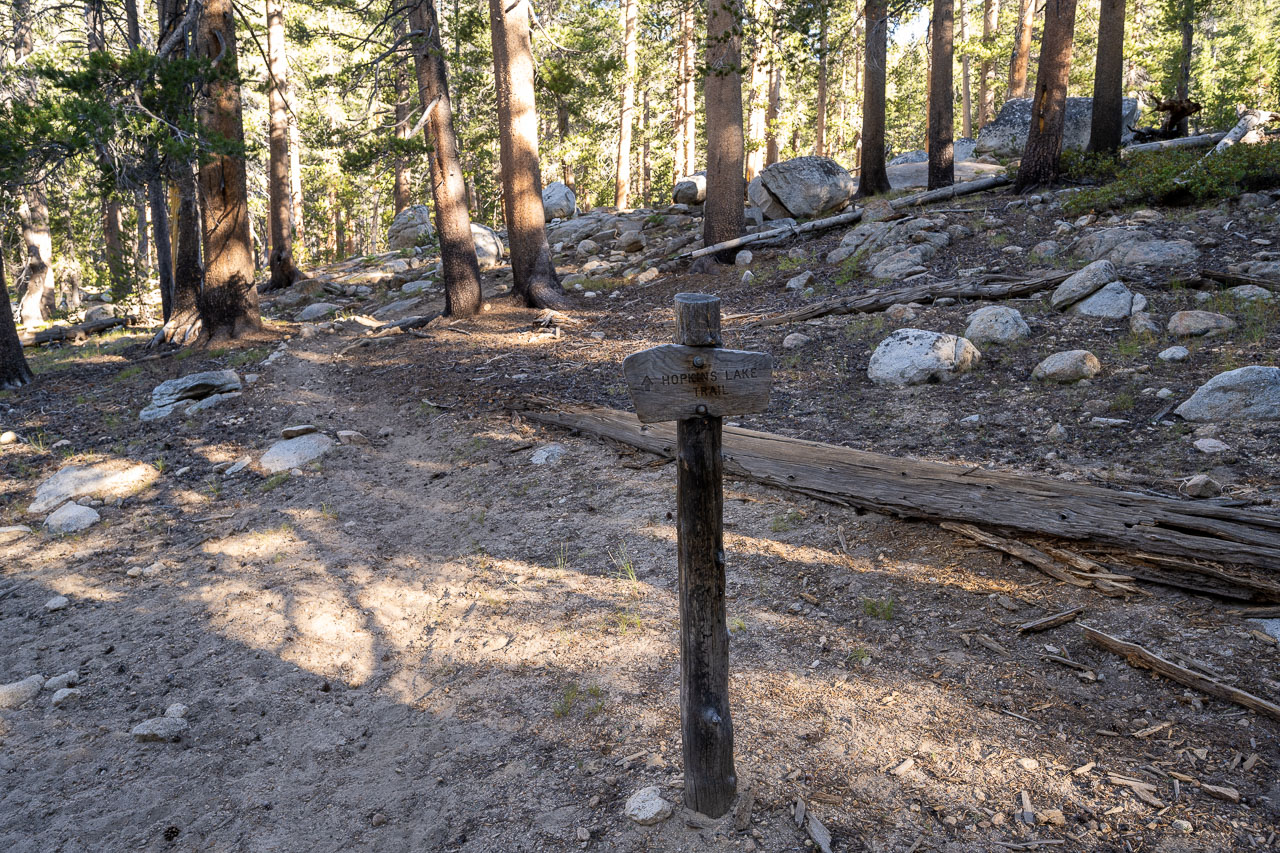
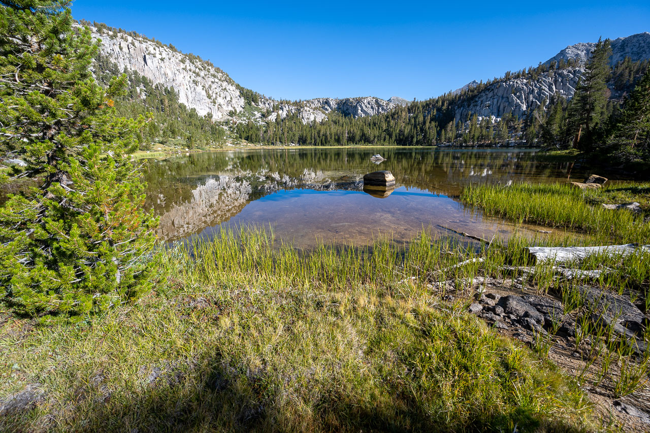
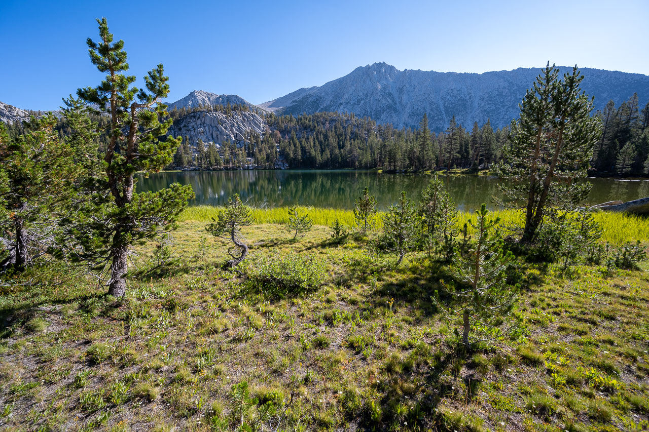
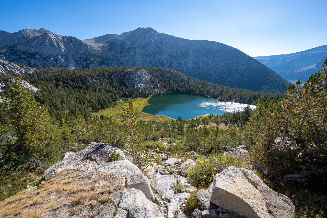
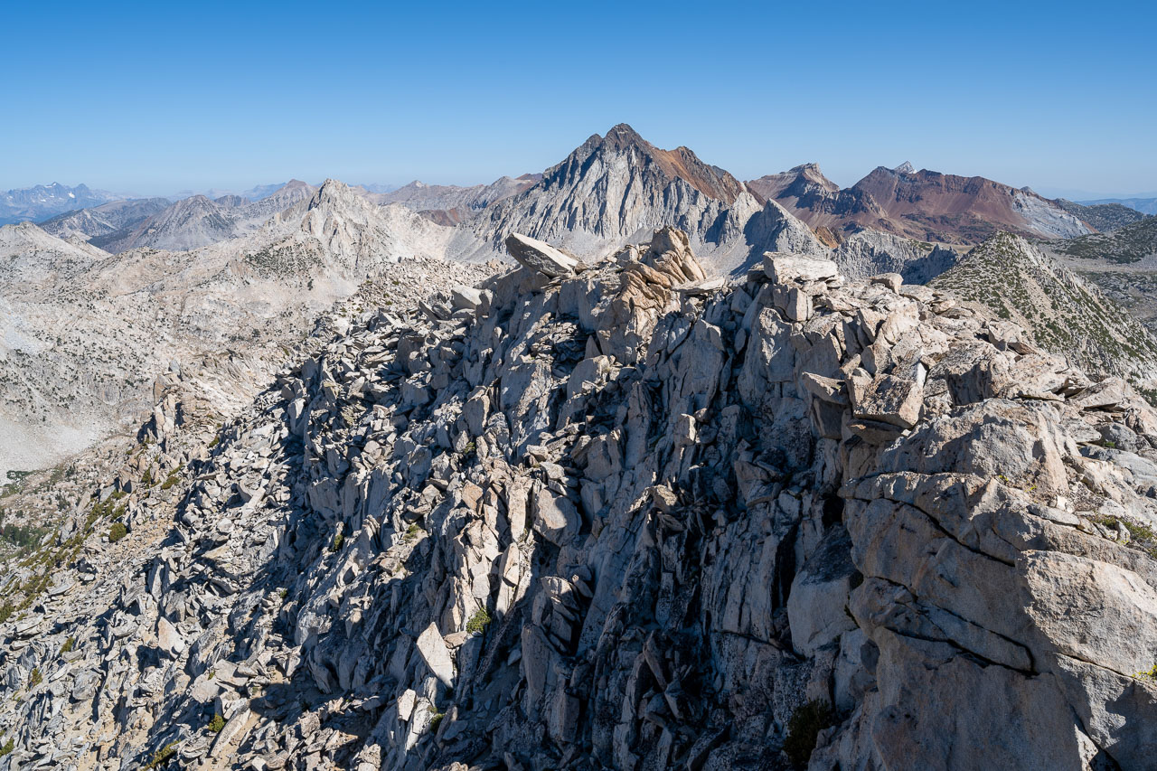
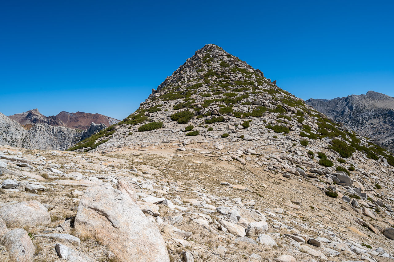
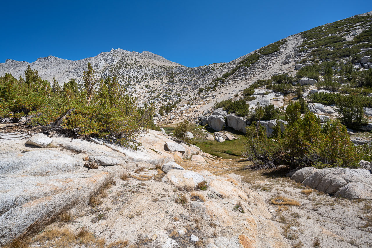
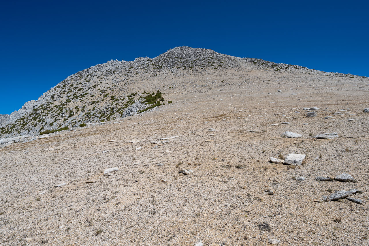
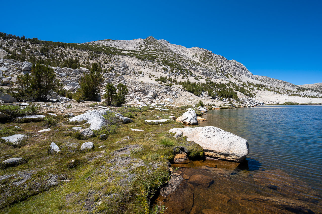
From the pass, I noticed one other person starting down the backside toward Golden Lake. Later I would find out this was Fred. After reaching Golden Lake I picked up the official trail heading down Mono Creek. I followed the trail steadily downhill for a few miles before finding the signed turnoff leading toward Hopkins Lake. I took the trail to Lower Hopkins Lake, then cut up the slope leading to the small cirque on the north side of Larkins Peak. I crossed the boulder field below the peak, then gained the ridge just east of the summit. From there a short Class 2 scramble led up to the summit, where I arrived at 9:40AM. I had seen Fred briefly at Lower Hopkins Lake, but otherwise had not seen anyone since leaving the pass. Fred had taken a different route on the way up, and I wouldn’t see him again until starting down from the summit.
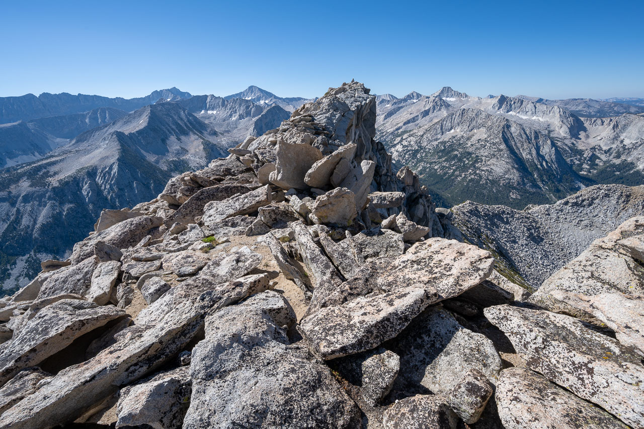
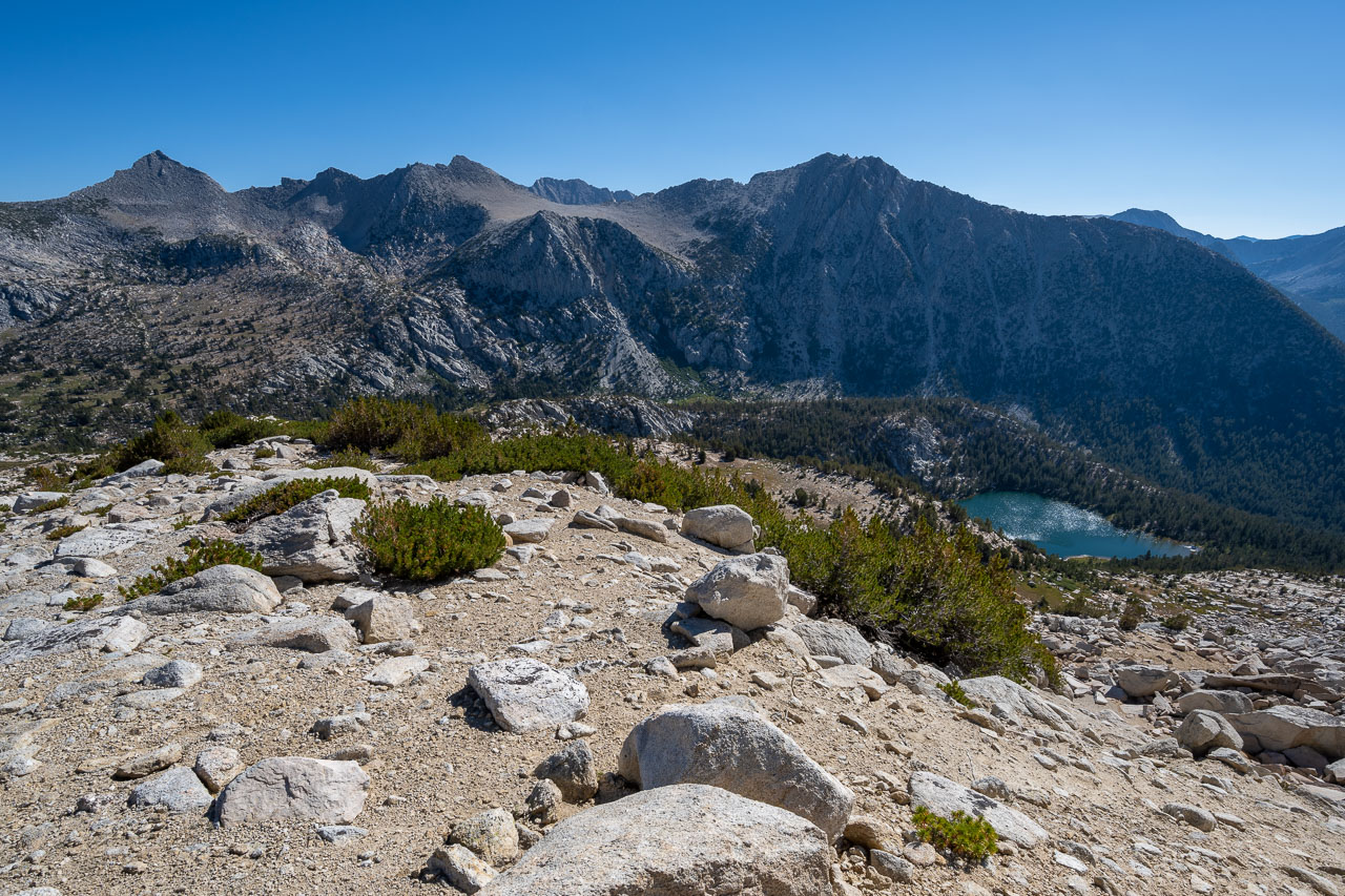
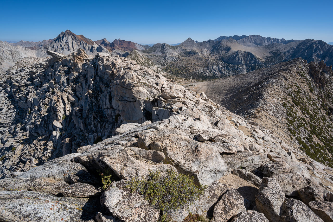
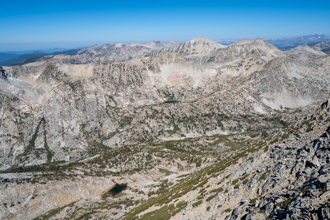
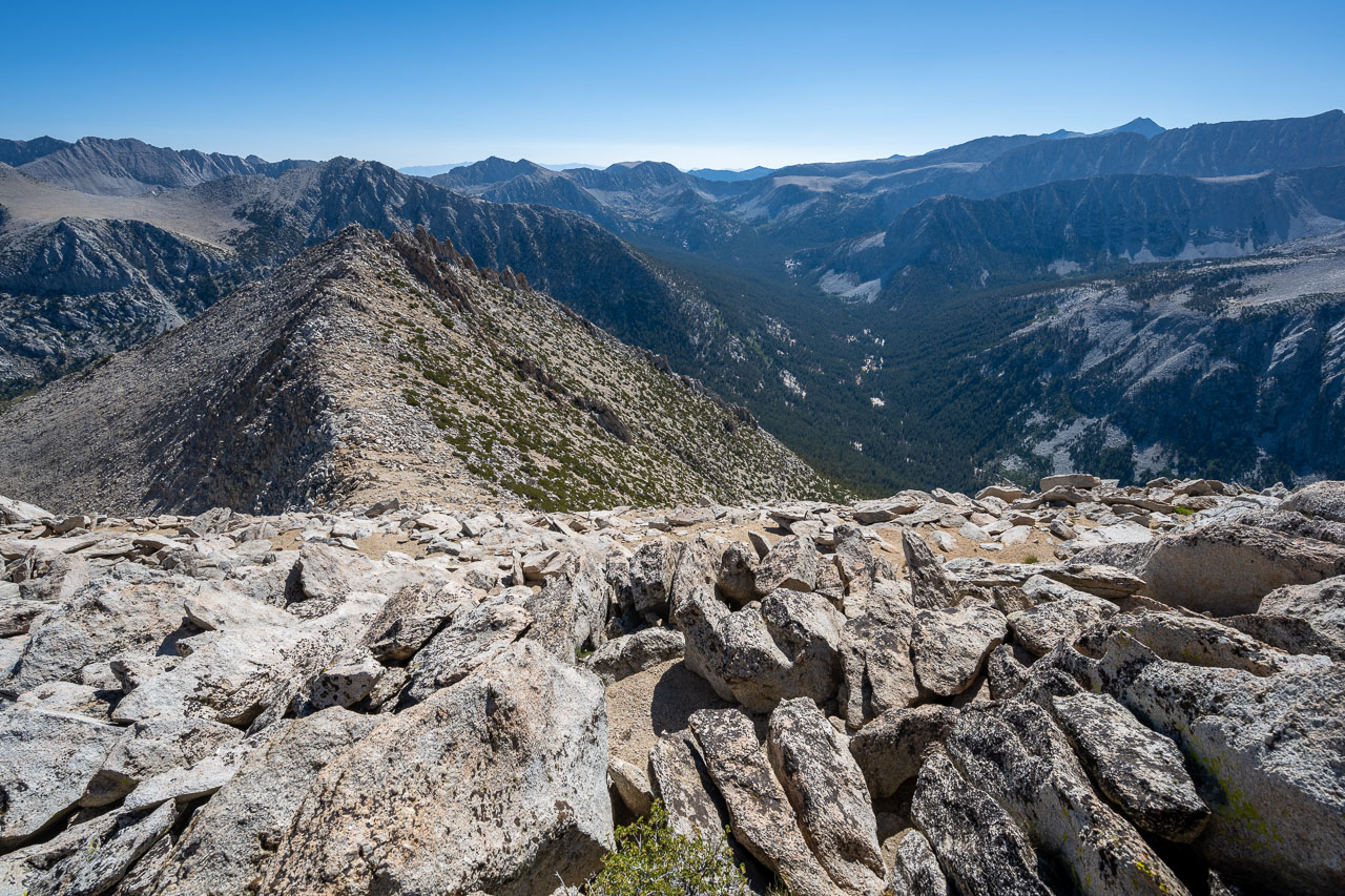
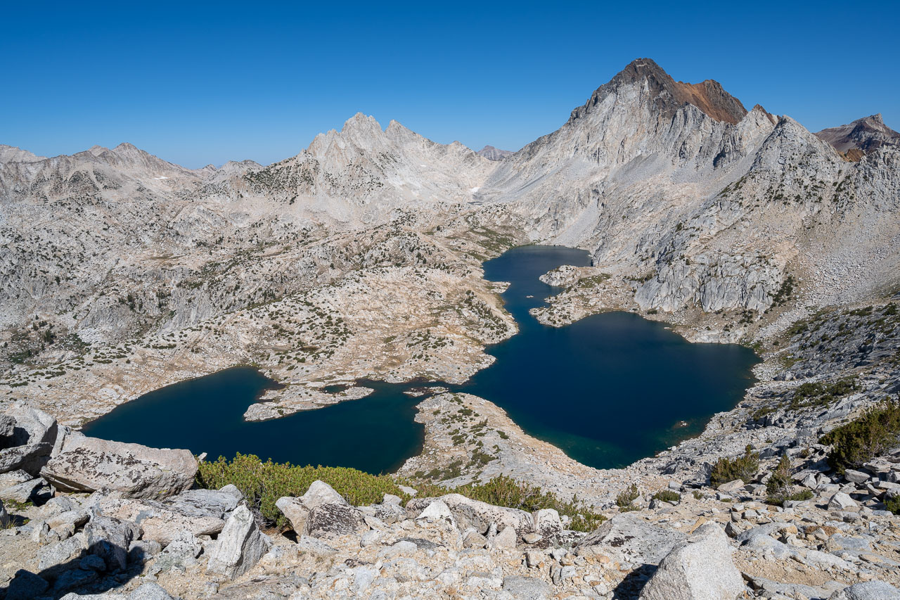
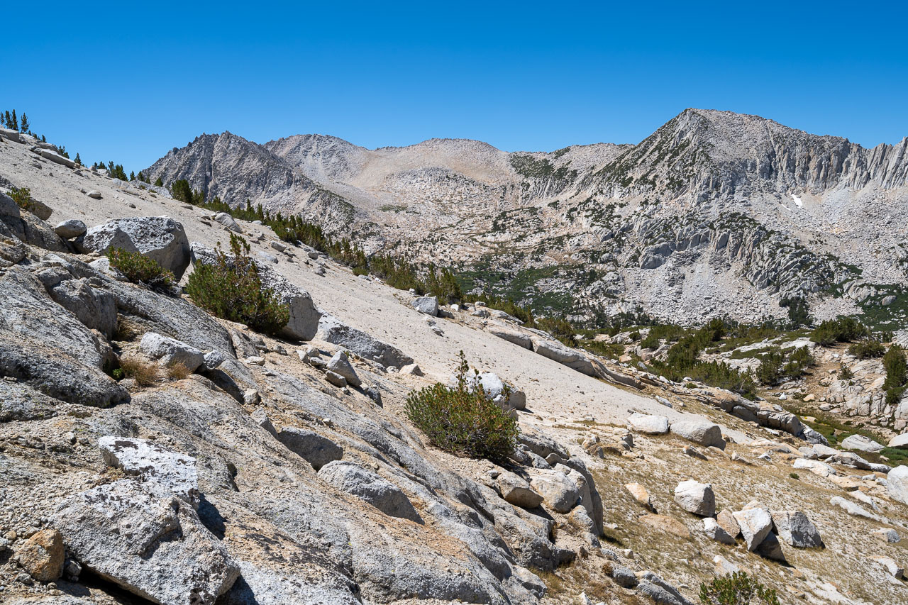
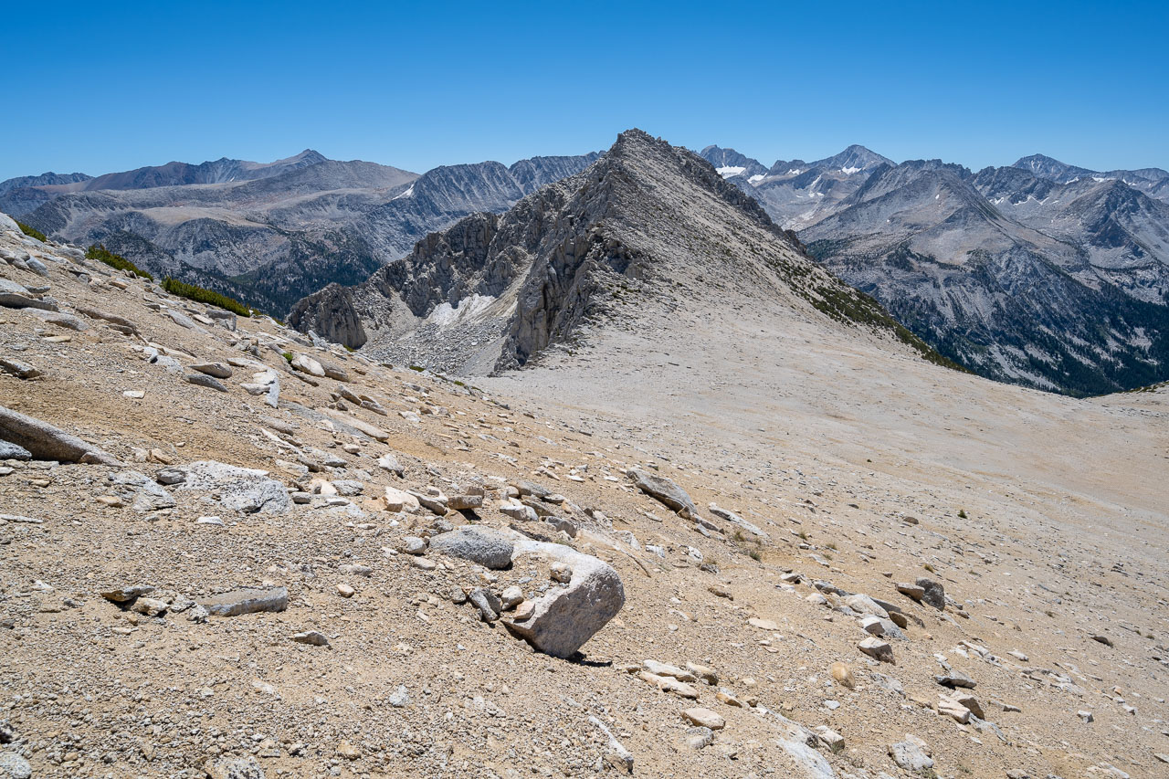
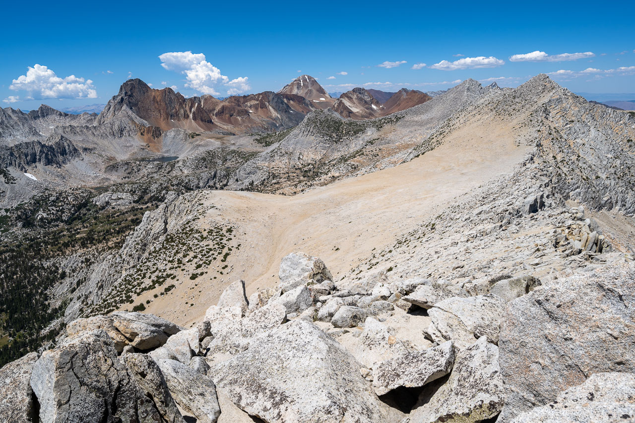
There were a few other peaks in the area that I was intending to include in a loop on my way back to Half Moon Pass. I was mainly interested in Robber Baron and Hopkins across the valley, but Peak 11940 was close enough that I decided to include that also. Other than a short section along the ridge that had densely packed trees, the route over to Peak 11940 was pretty straightforward. From the summit, there was a great view of Red and White Mountain and Grinnell Lake. I had been through this basin once before when doing the Sierra High Route, so it was nice to see it again.
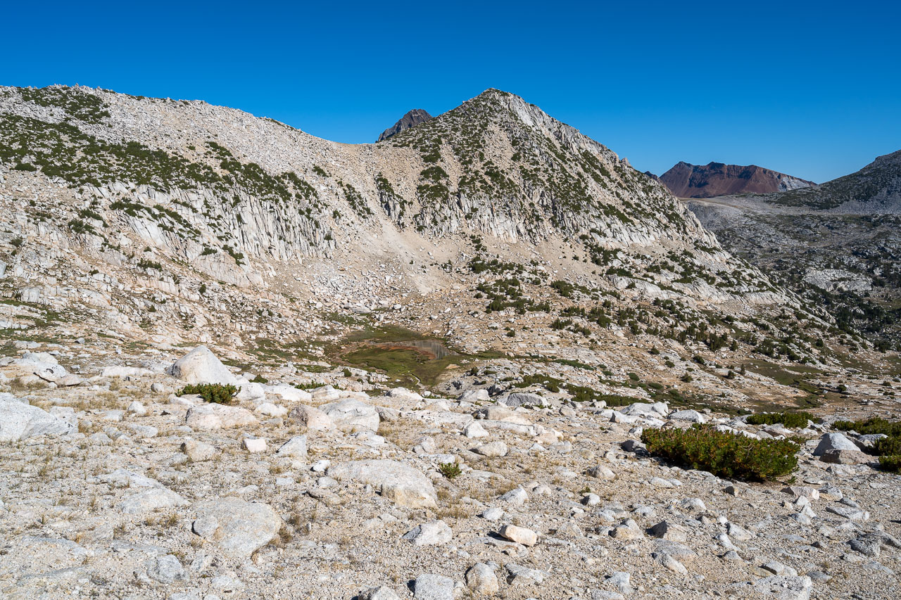
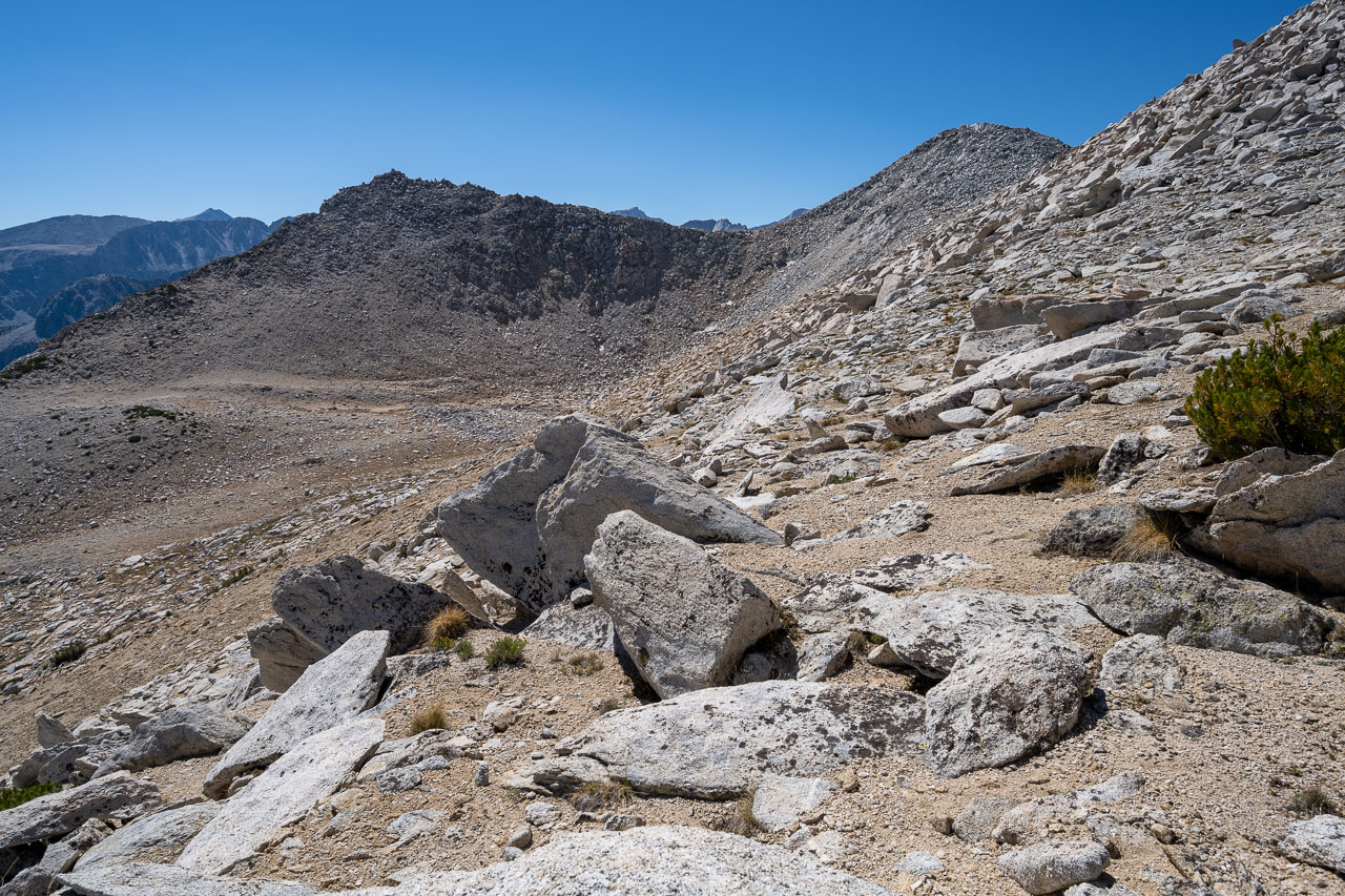
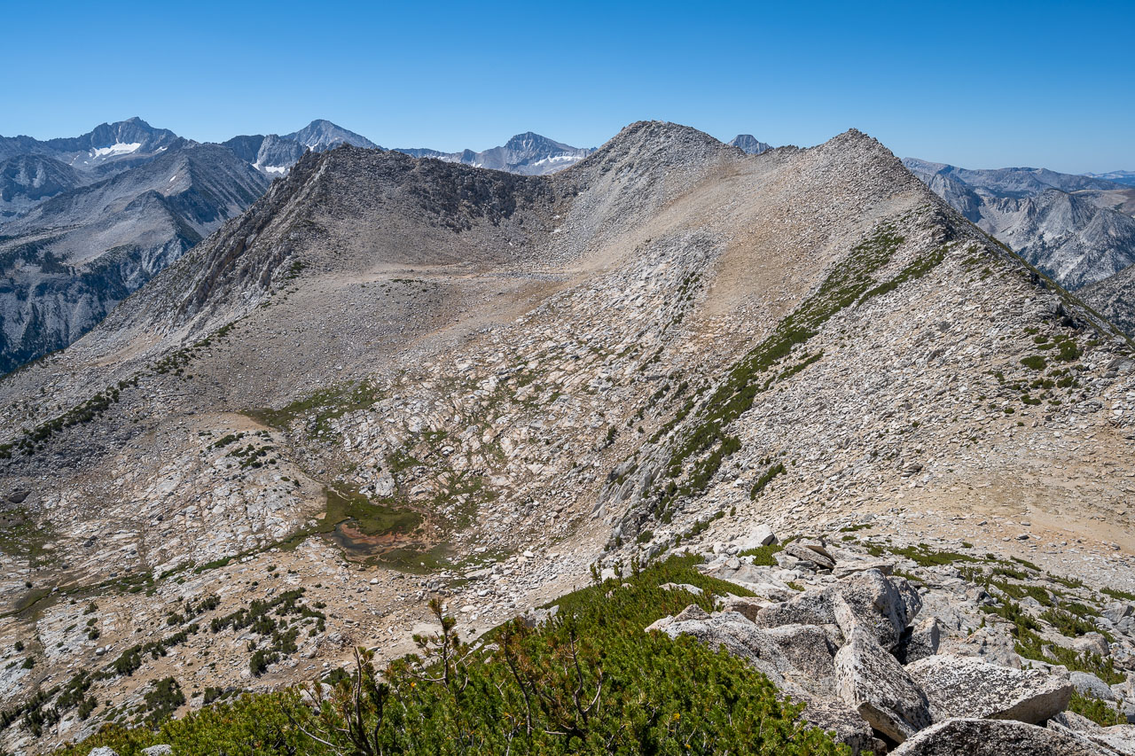
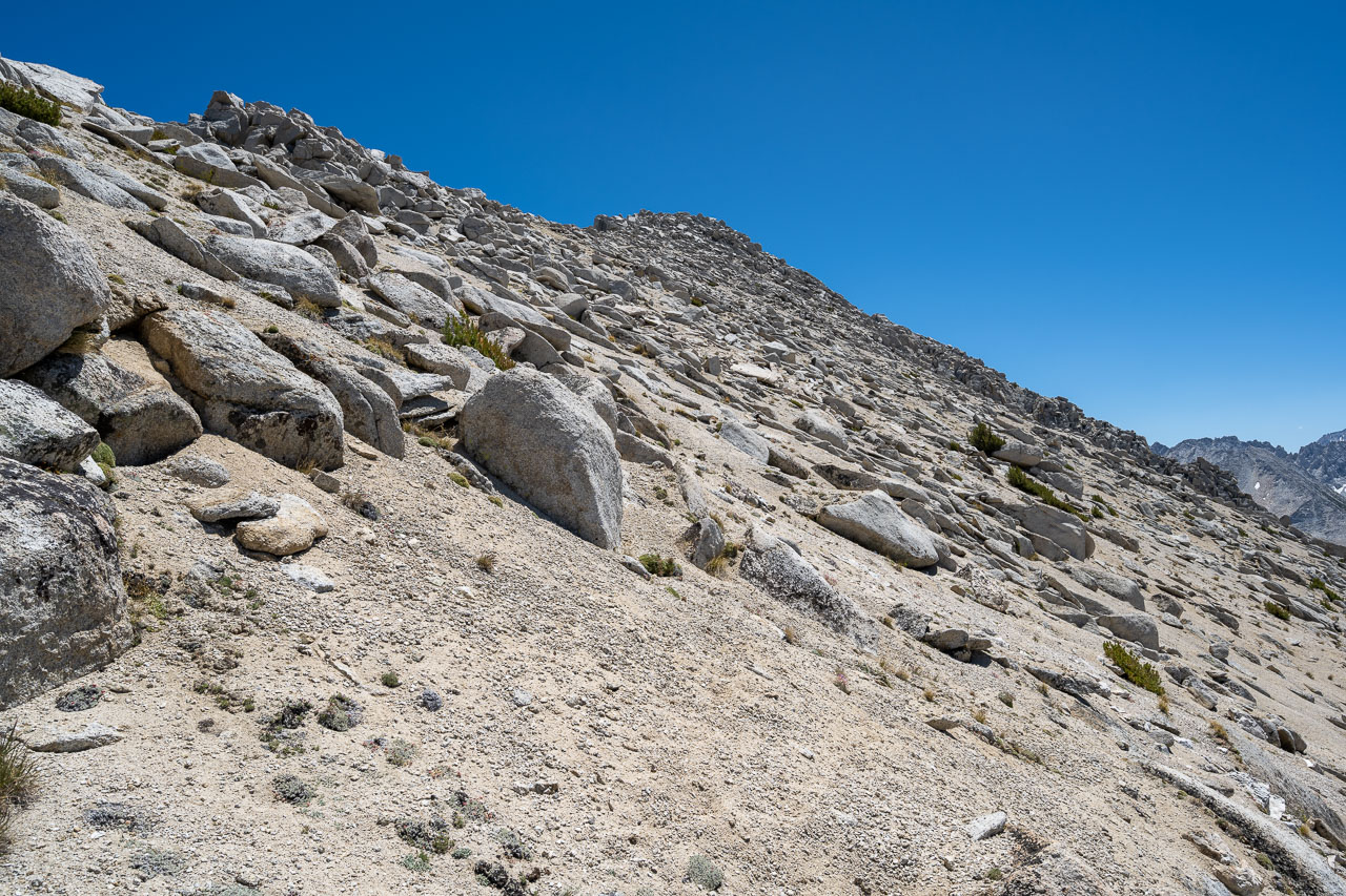
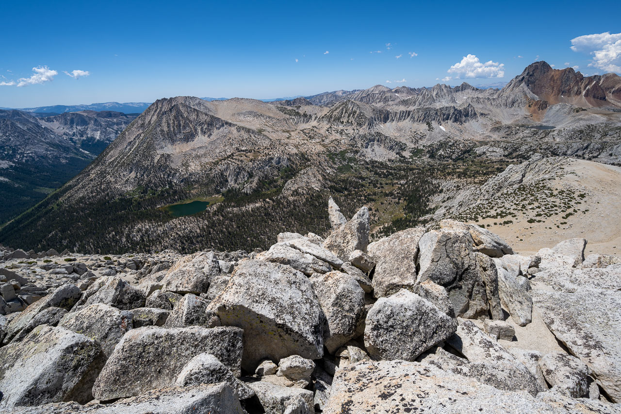
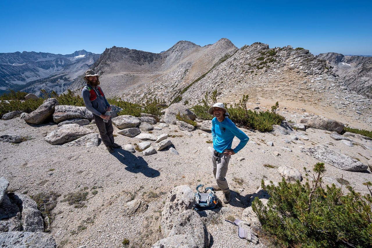
On the way down I ran into Bob and Clement, who were both making their way up to Peak 11940. They had already been over to Larkins, so I must have just missed them at the summit. I talked with them briefly and signed into a summit register that Bob was intending to leave at Peak 11940. After parting ways with them, I dropped down to Hopkins Creek then started toward Robber Baron. Initially the route was through open forest, but as I climbed higher the slope transitioned to loose sand that was tiring to walk up. Thankfully near the summit there was a few hundred feet of more solid granite.
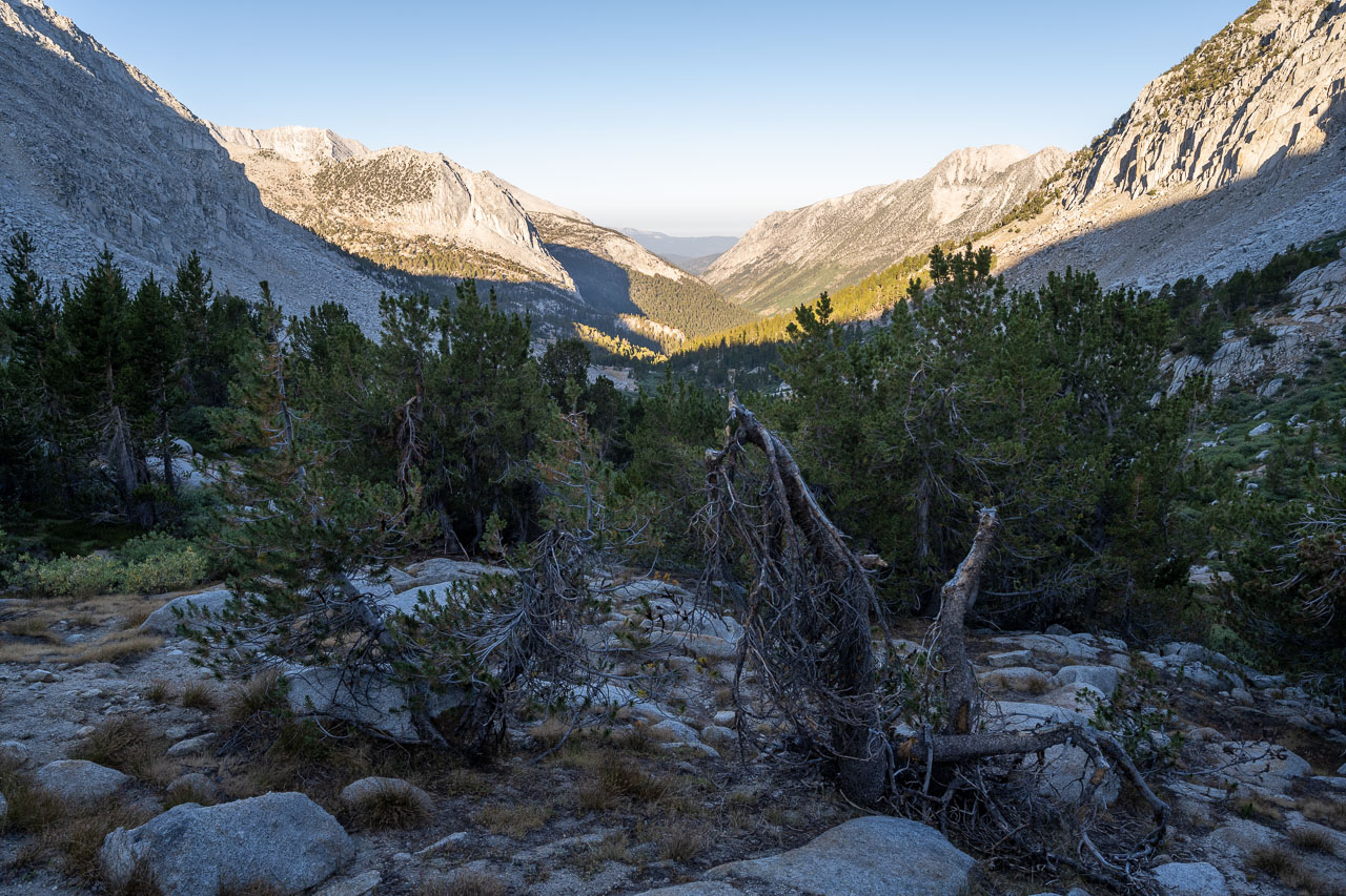
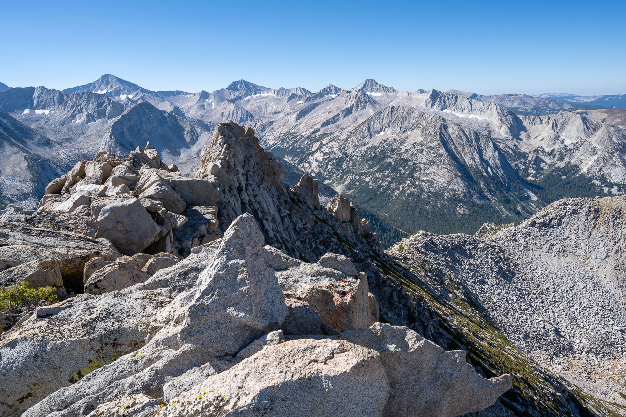
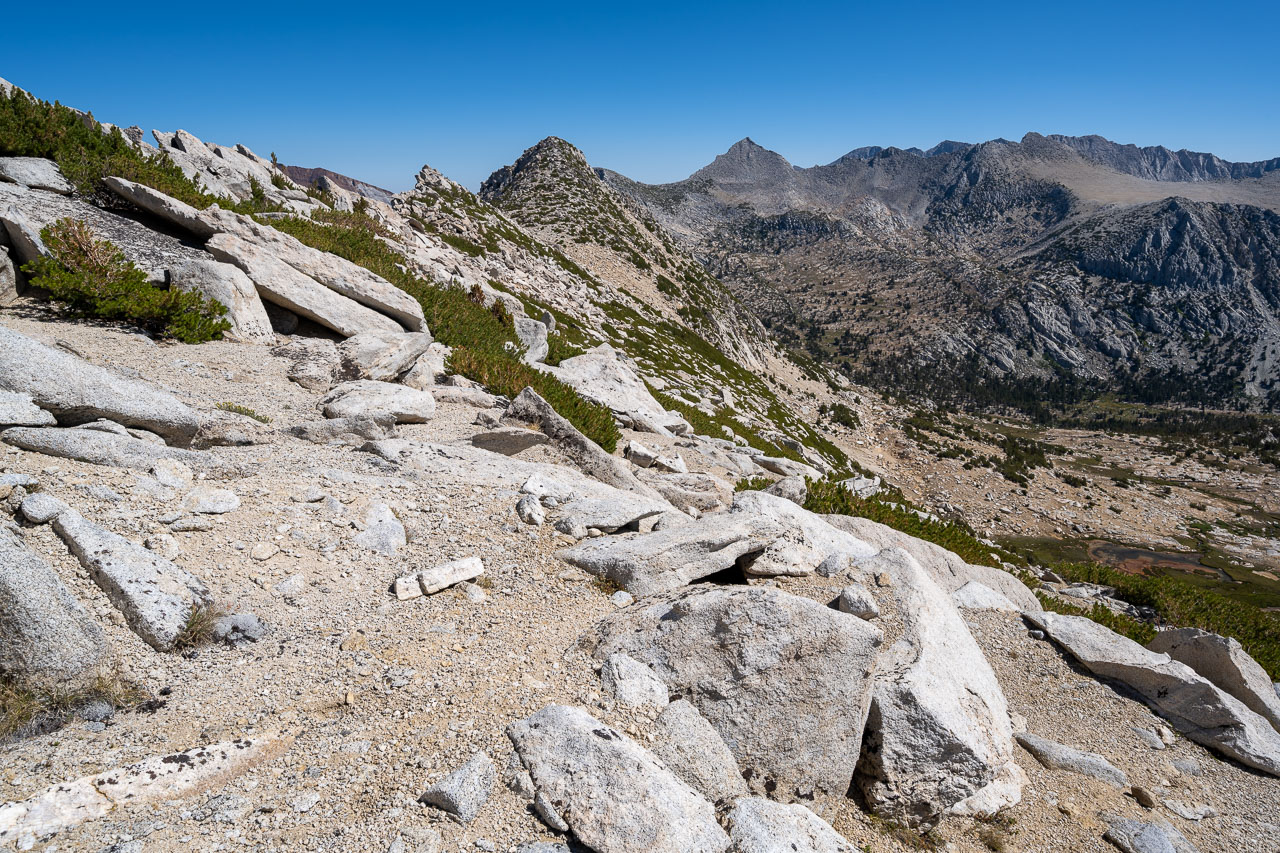
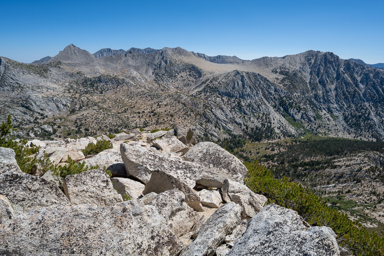
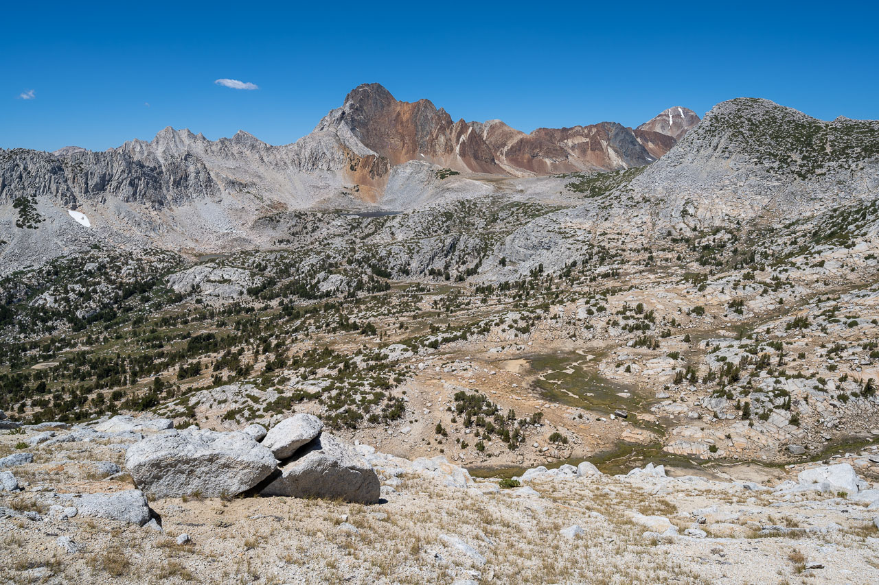
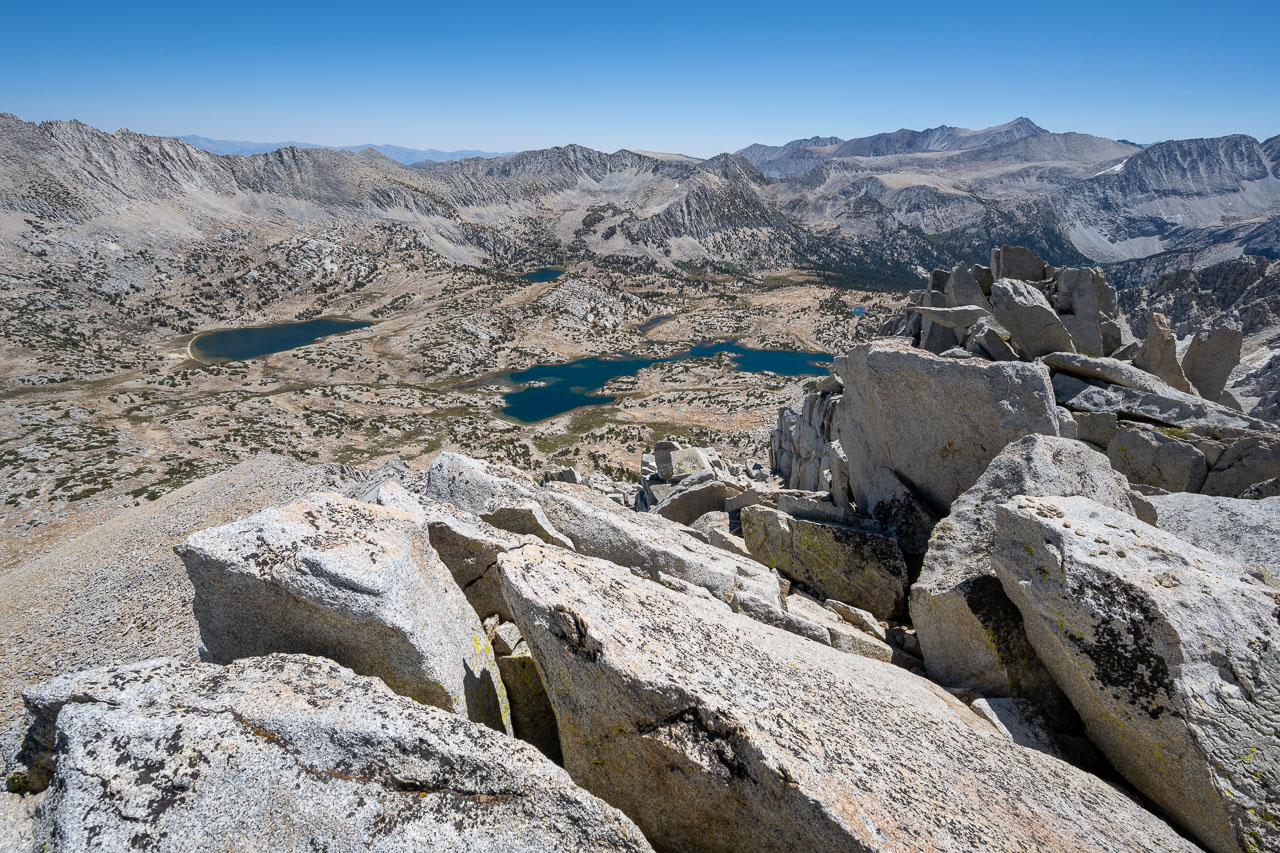
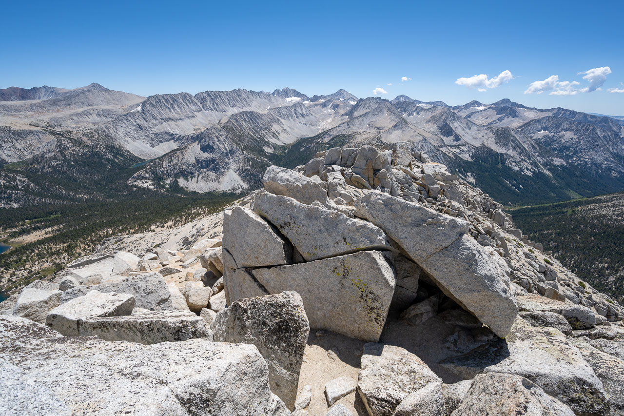
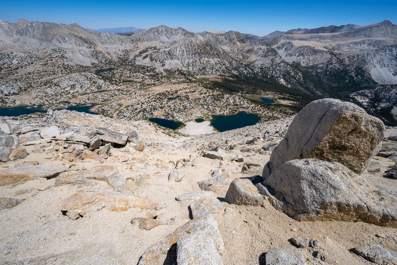
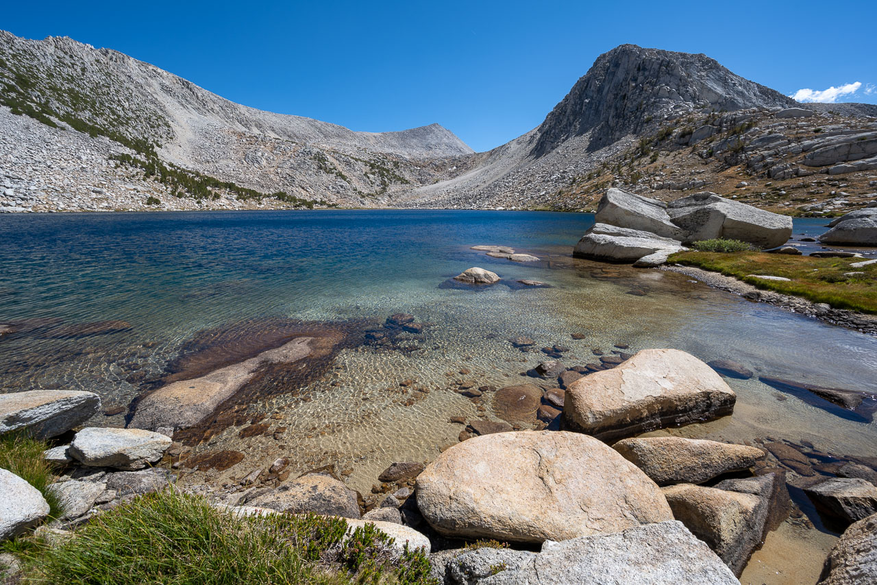
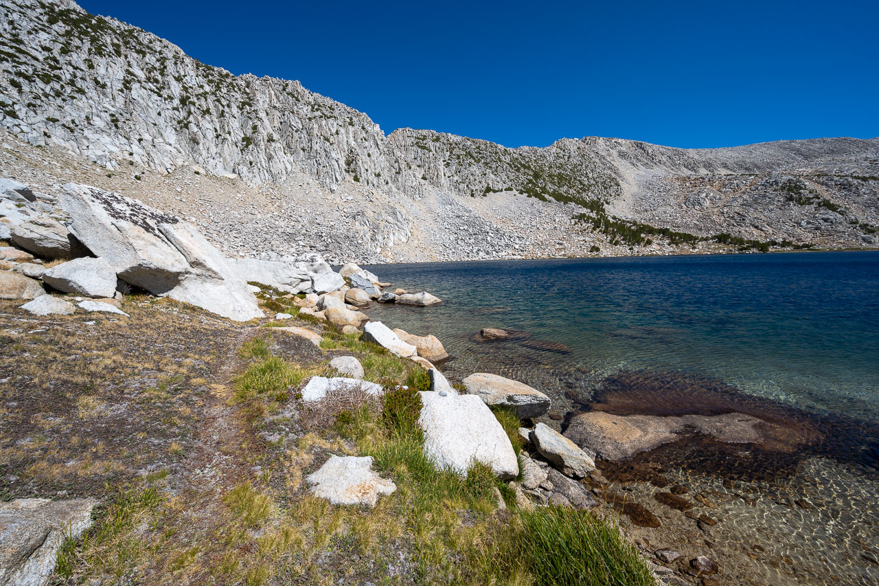
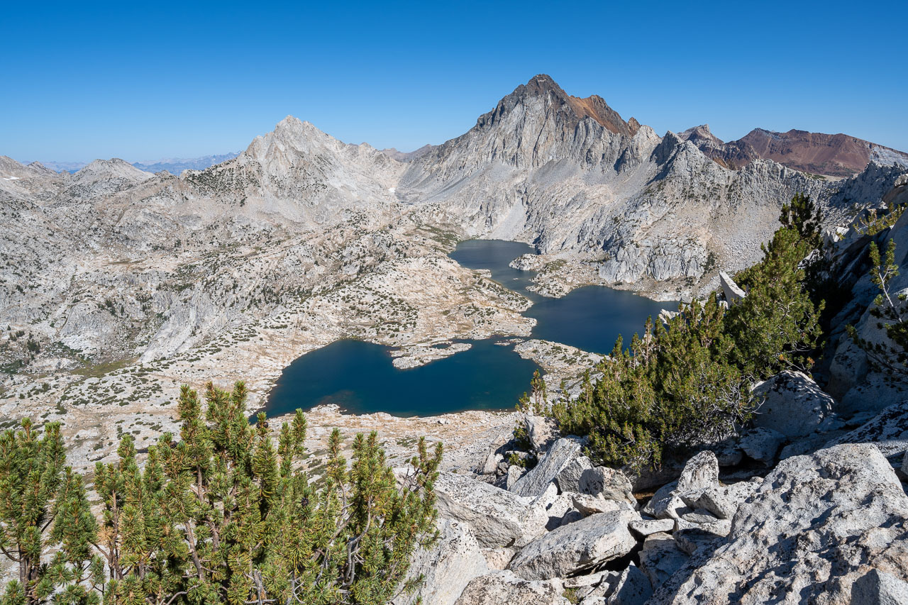
From the summit of Robber Baron I had a good view into Pioneer Basin. To get back to the car I was planning to cross the basin and eventually join up with the trail I had been on earlier in the morning. After enjoying the views from the summit, I started south toward Hopkins Peak. Most of the way over was on pleasant sandy slopes just west of the ridge. After reaching the summit I checked out the route down the east face. I was pleased to find that the sandy chute I had noticed on the satellite view looked like it would work nicely all the way down to Pioneer Lakes. I was able to plunge step down the chute, quickly descending more than 1,000ft down to the lakes. I picked up the trail at the lower end of the lake, then followed that back to Golden Lake. I briefly considered stopping at the lake for a swim, but I still needed to drive home for work the following day, so I decided to keep moving. I made it back over Half Moon Pass and arrived back at the car around 4:15PM. Overall I had a lot of fun participating in the Sierra Challenge. Hopefully I am able to join for more days in the future. Thanks again to Bob for organizing the event.