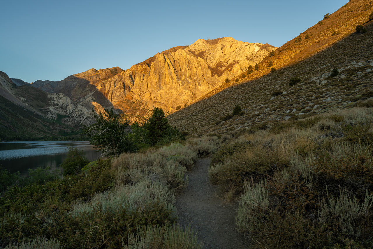
I had been wanting to check out the NE Gully route on Laurel Mountain since I first visited Convict Lake over a decade ago. The route has been rated anywhere from Class 4 to Class 5.2 and has a reputation for difficult route finding and loose rock, so I hadn’t seriously considered attempting it until the last couple years. I was in the area for the Sierra Challenge the following day, so it seemed like a good time to give the route a try.
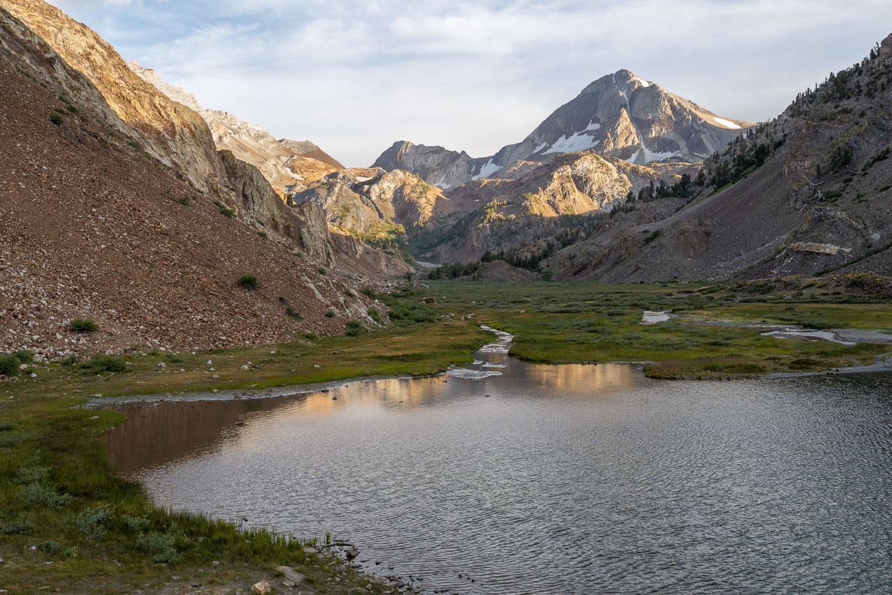
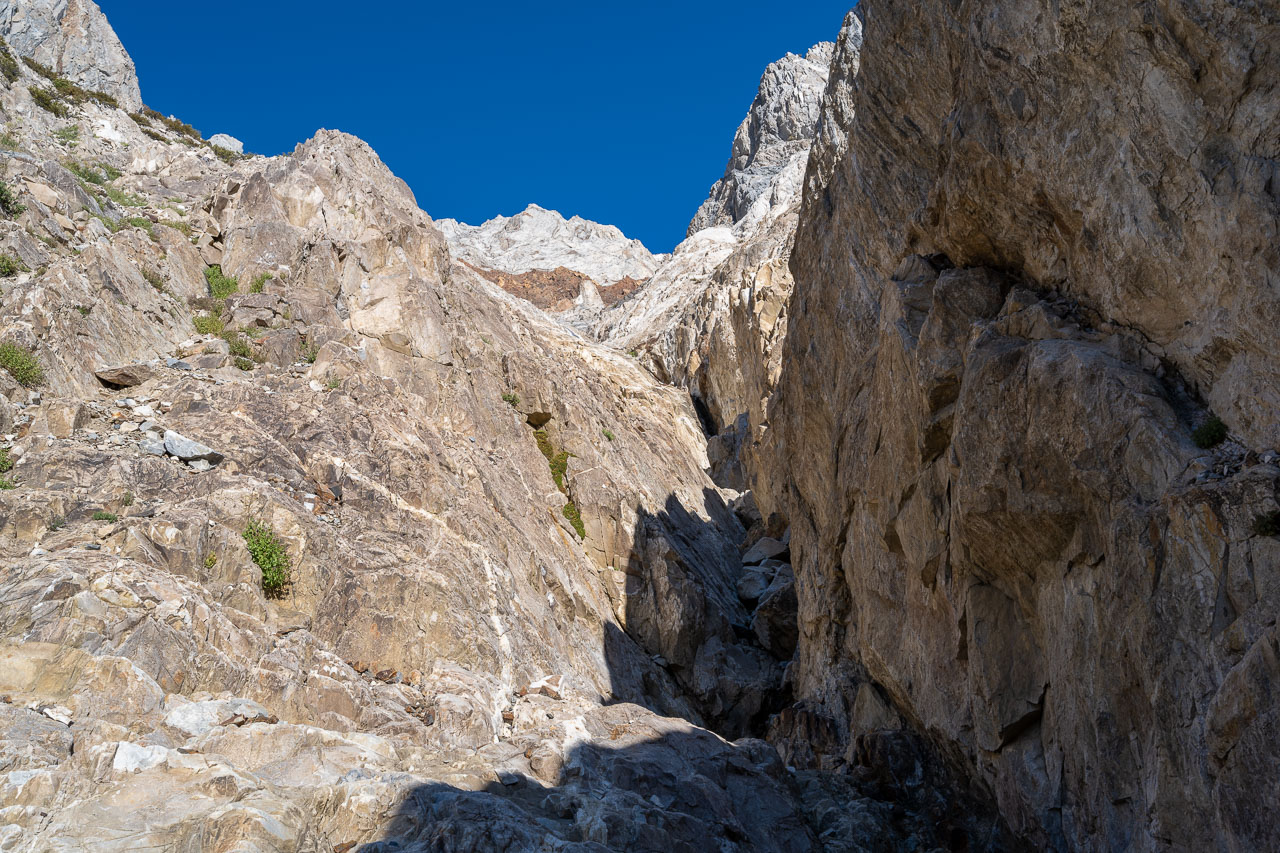
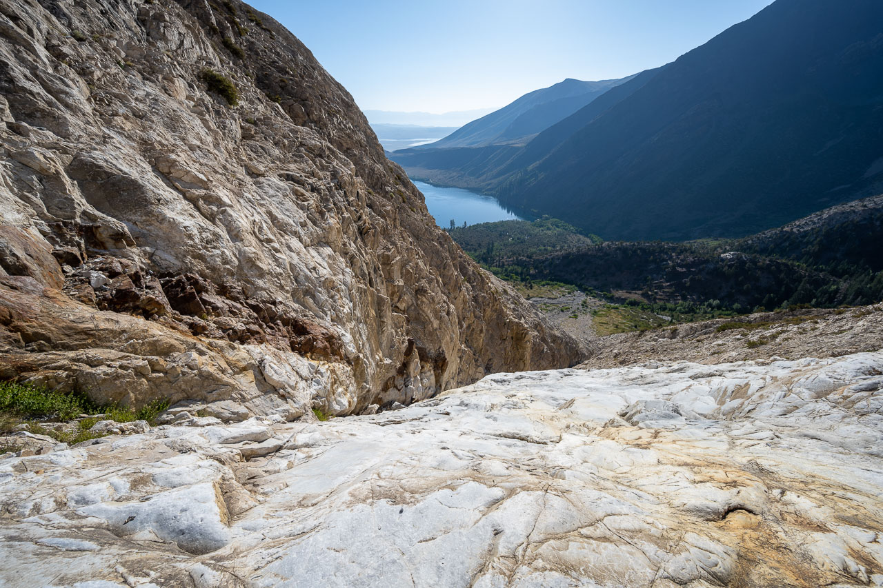
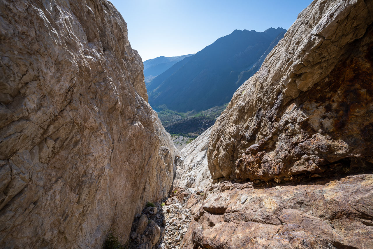
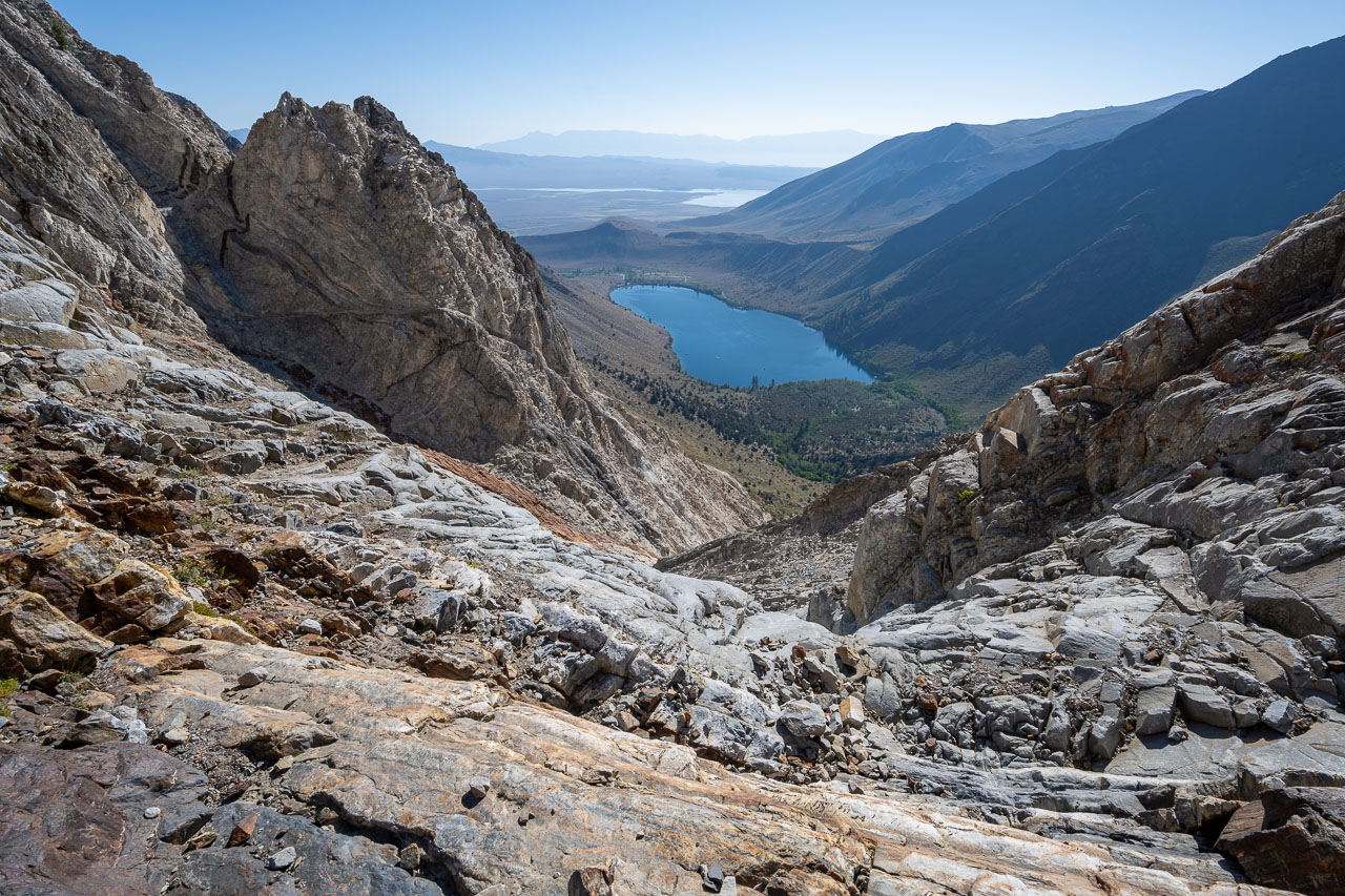
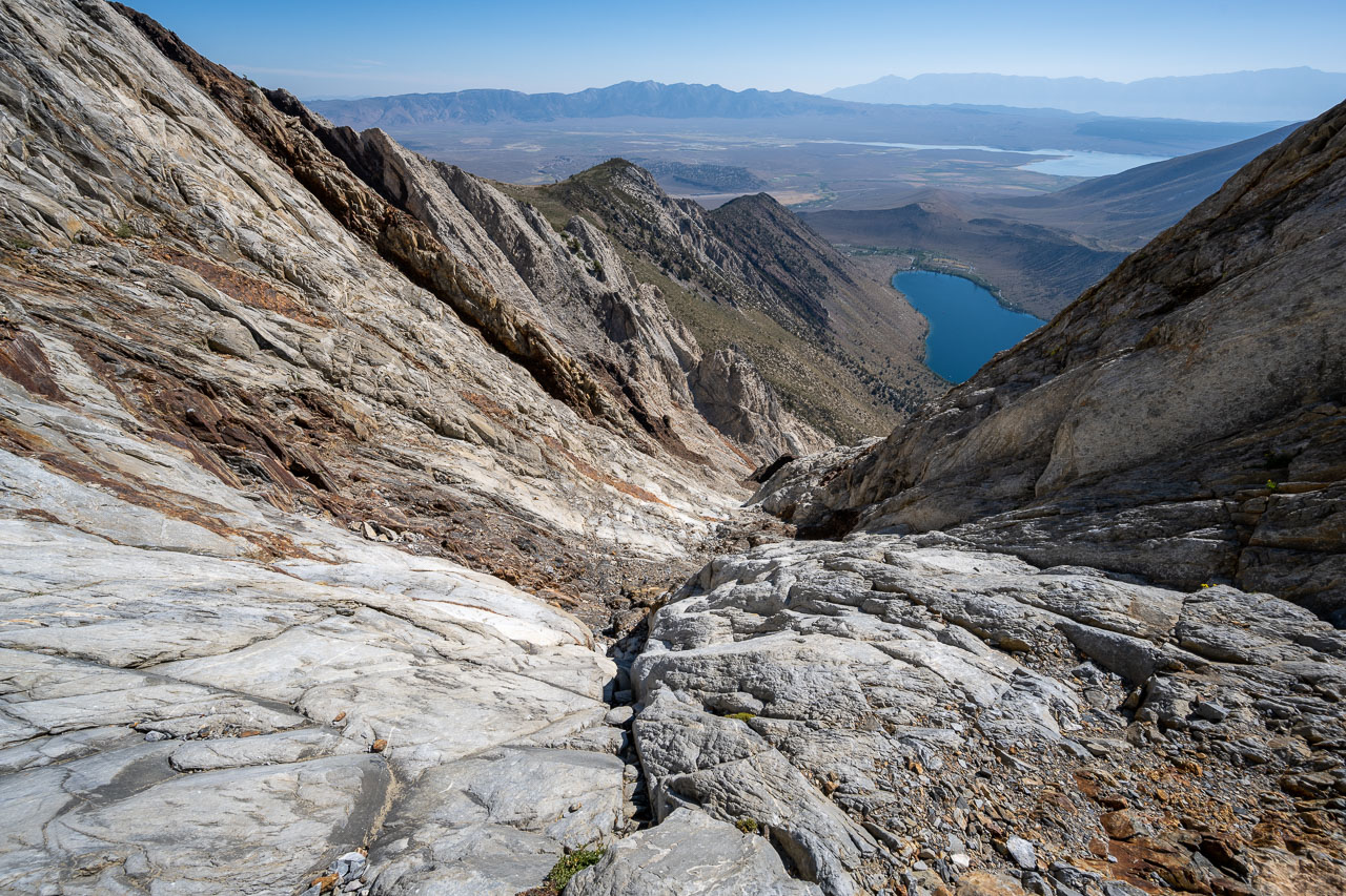
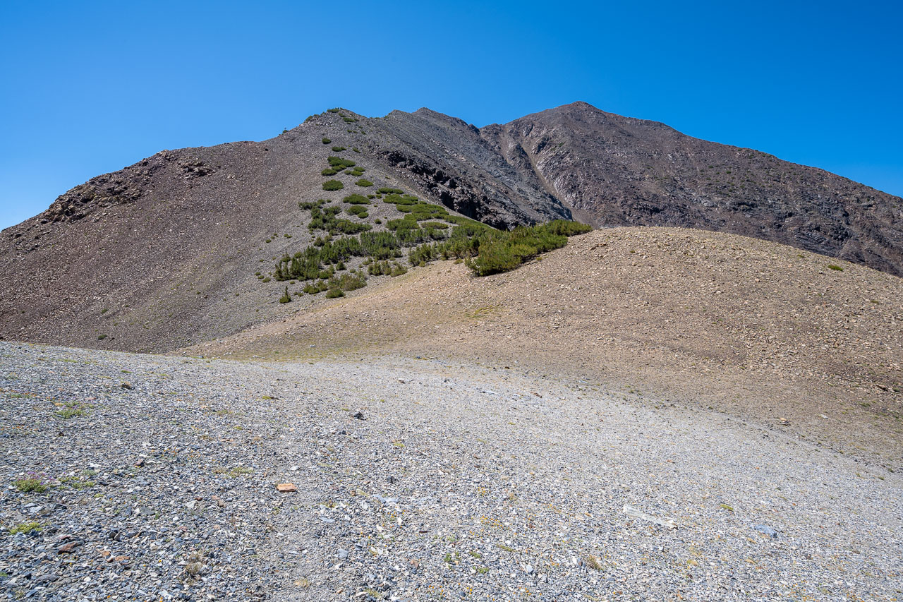
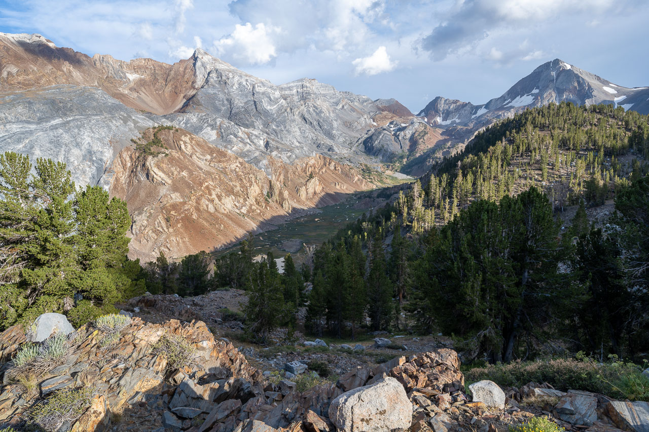
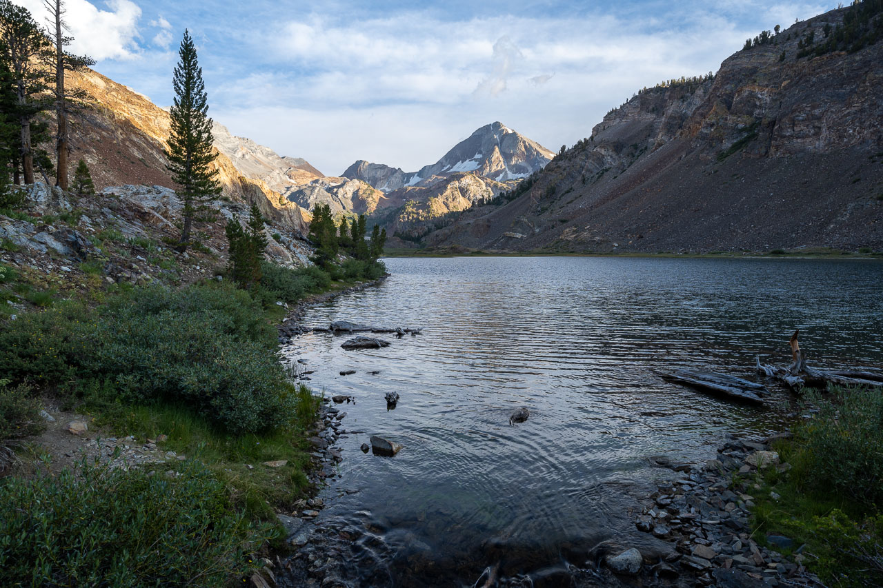
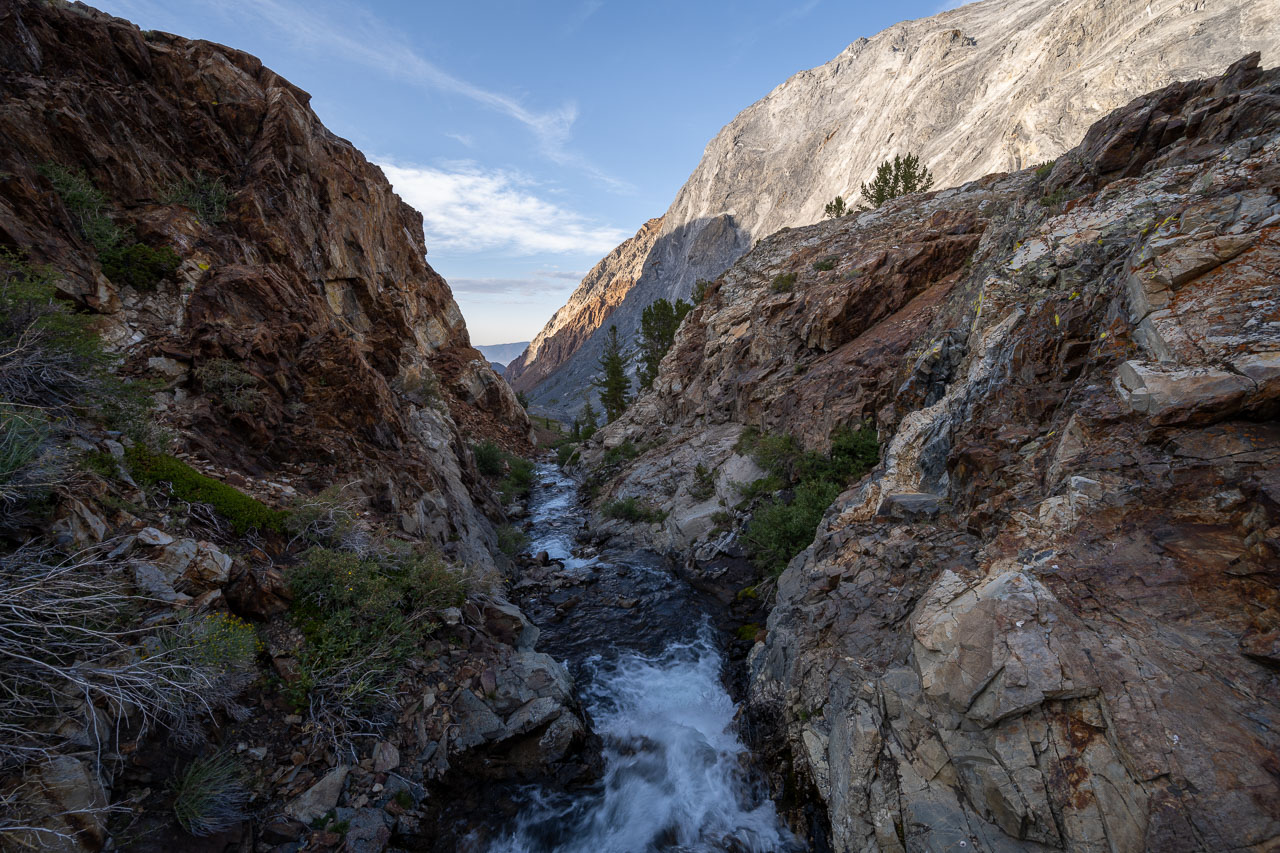
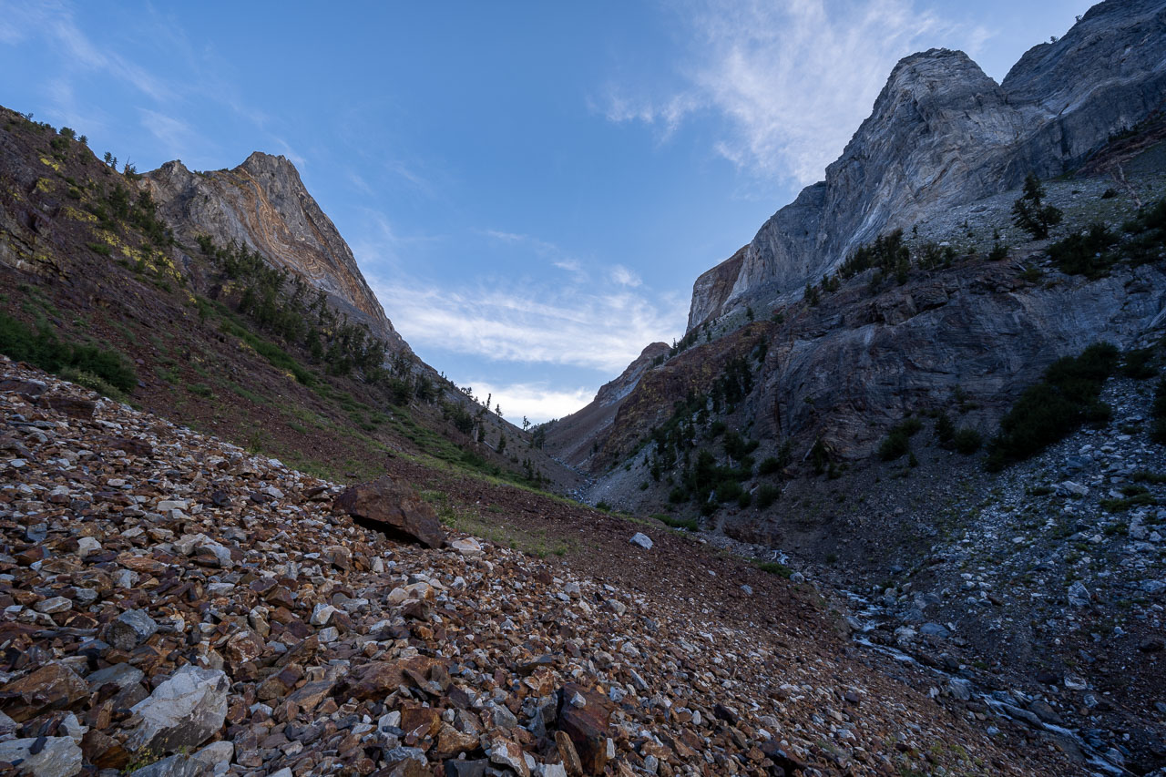
I got started shortly after sunrise from the trailhead at Convict Lake. I followed the trail around the north shore of the lake for a little over a mile, then went up the broad wash that drains the NE Gully. The key to the route is making the left-hand bend about halfway up the face into the correct upper gully. I had studied route photos beforehand, which were helpful in visualizing the route from below. I also had a GPS track that I had downloaded, so I was pretty confident I could find the correct route up to the summit.
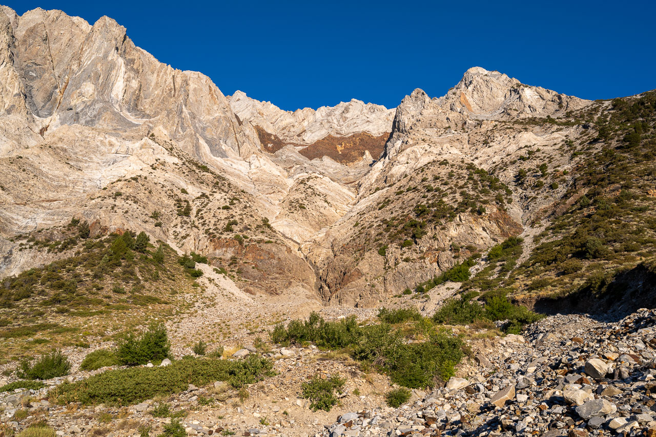
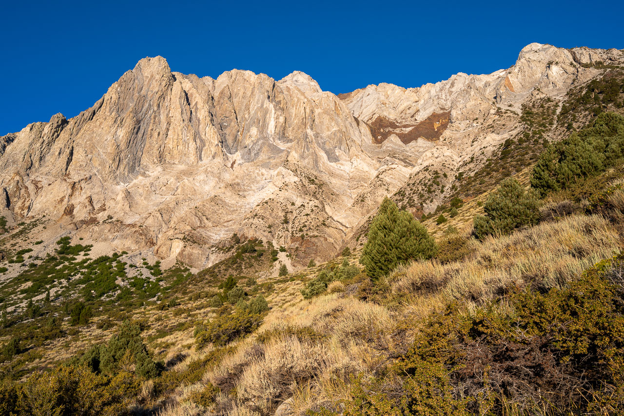
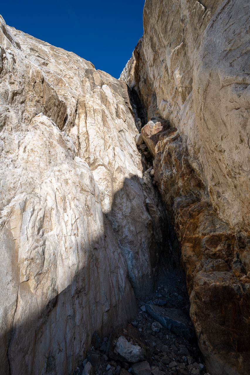
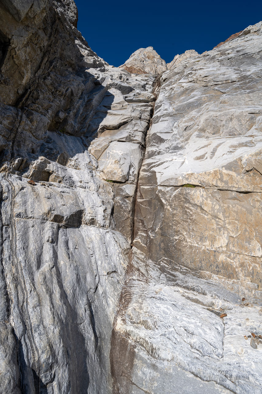
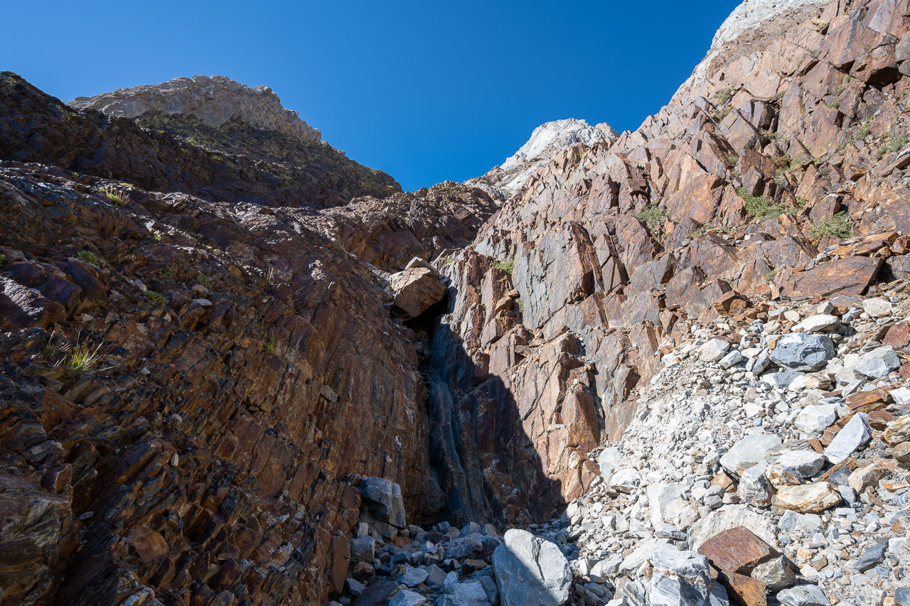
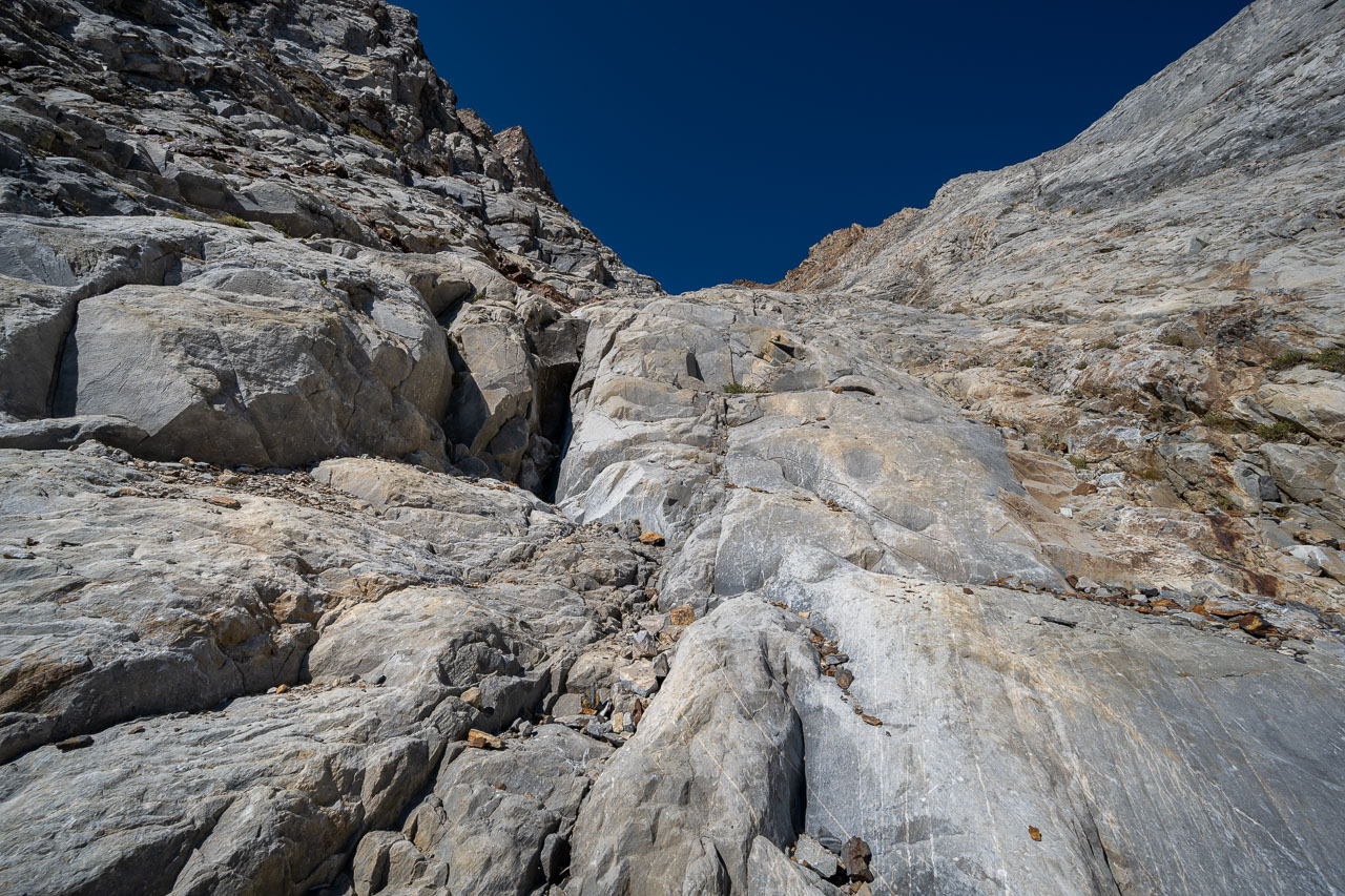
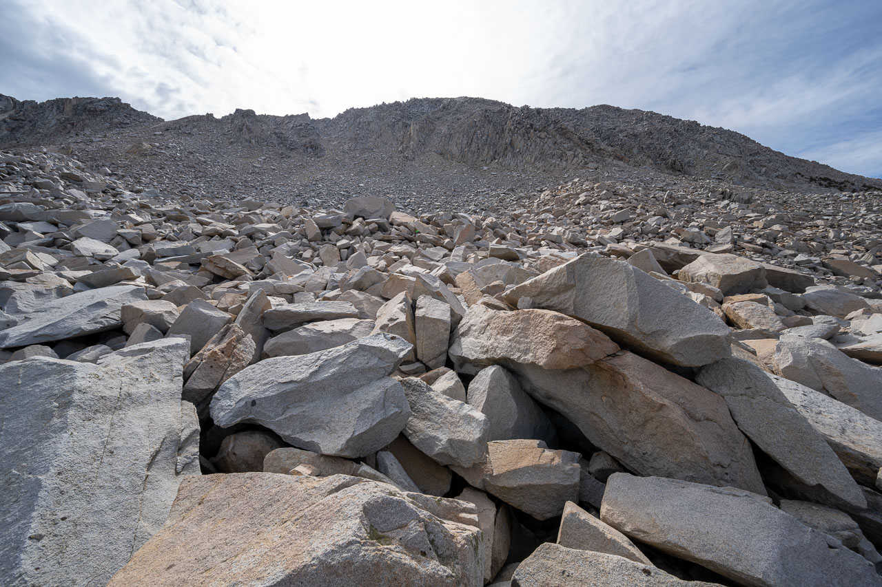
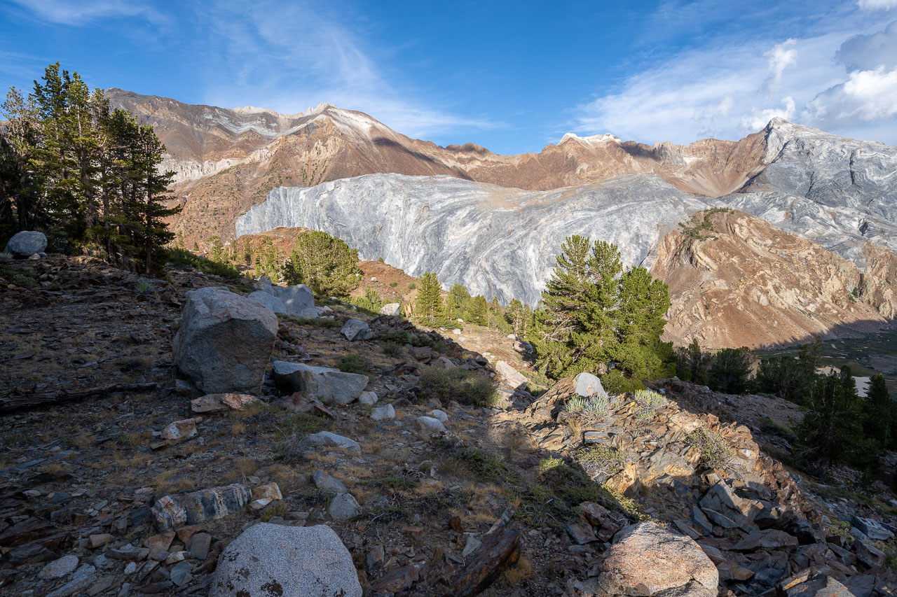
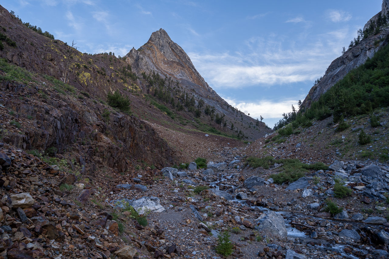
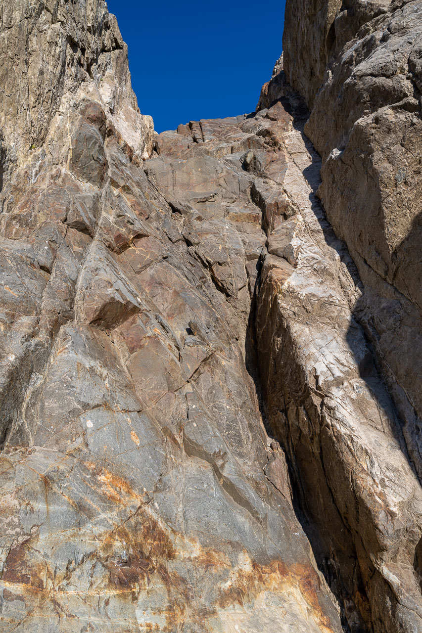
Shortly after starting up the gully I arrived at the steep dryfall that marks the crux of the route. The difficult section wasn’t very long, perhaps only 15 feet, but does require a few exposed moves. There is also a Class 3 bypass around the dryfall on right (north) side of the gully. Once above the dryfall, most of the remaining route was enjoyable Class 2-3, with only a few sections of Class 4.
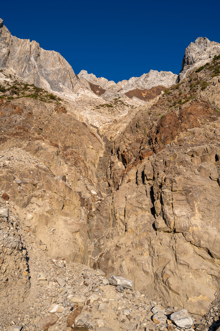
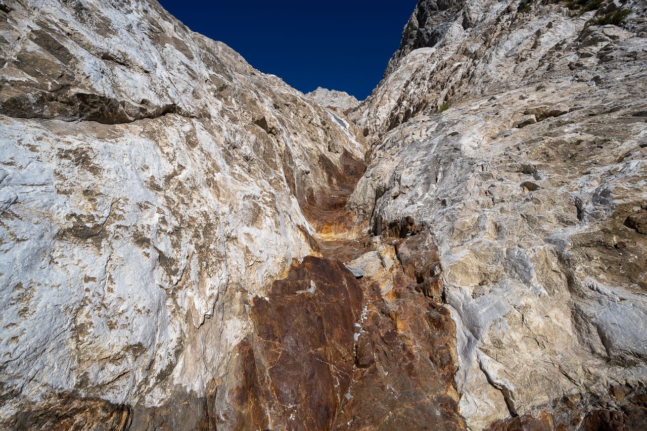
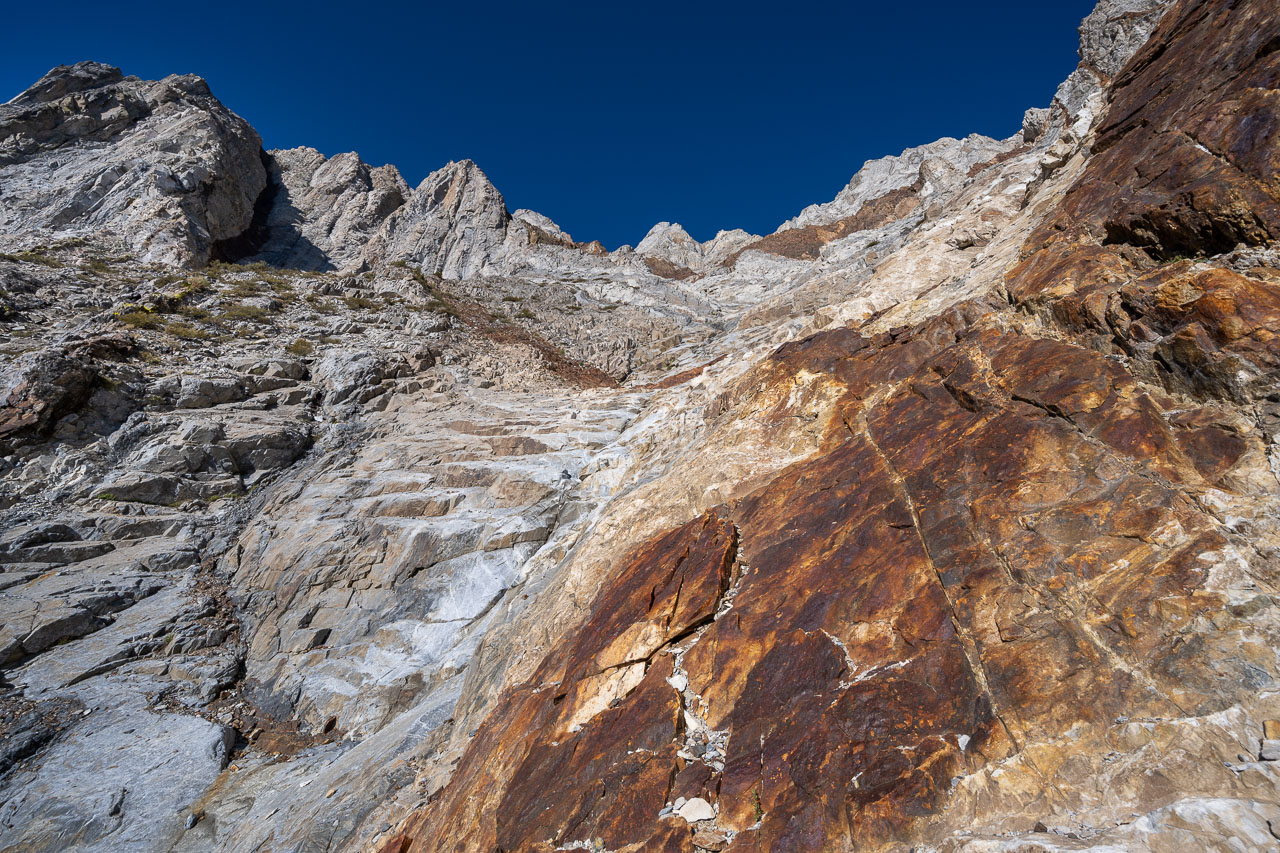
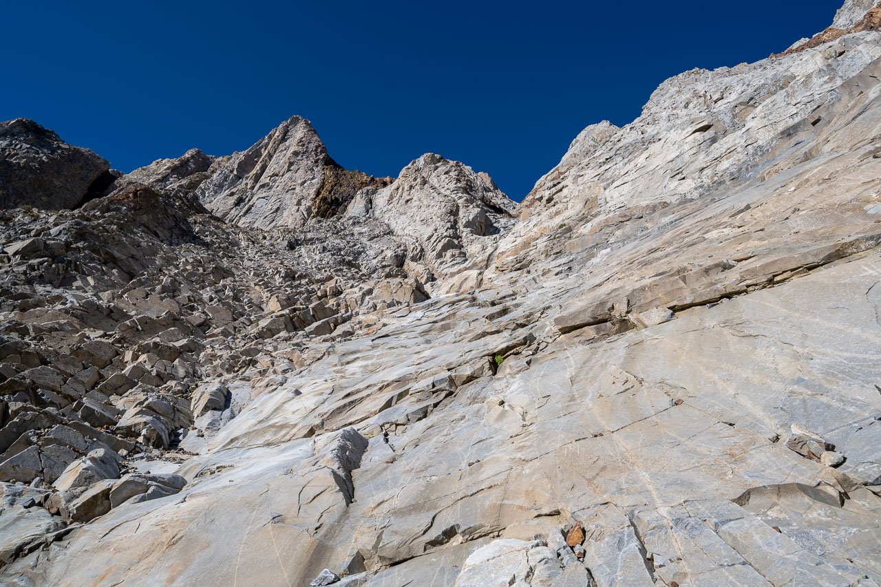
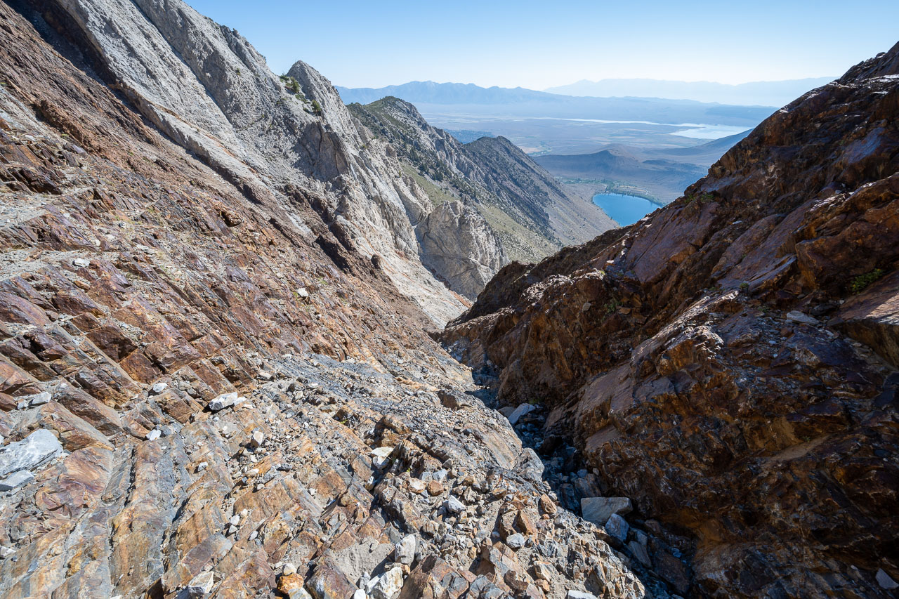
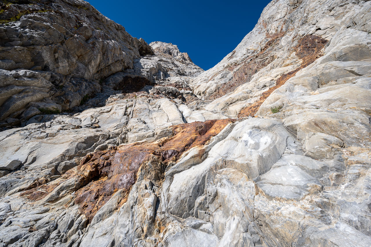
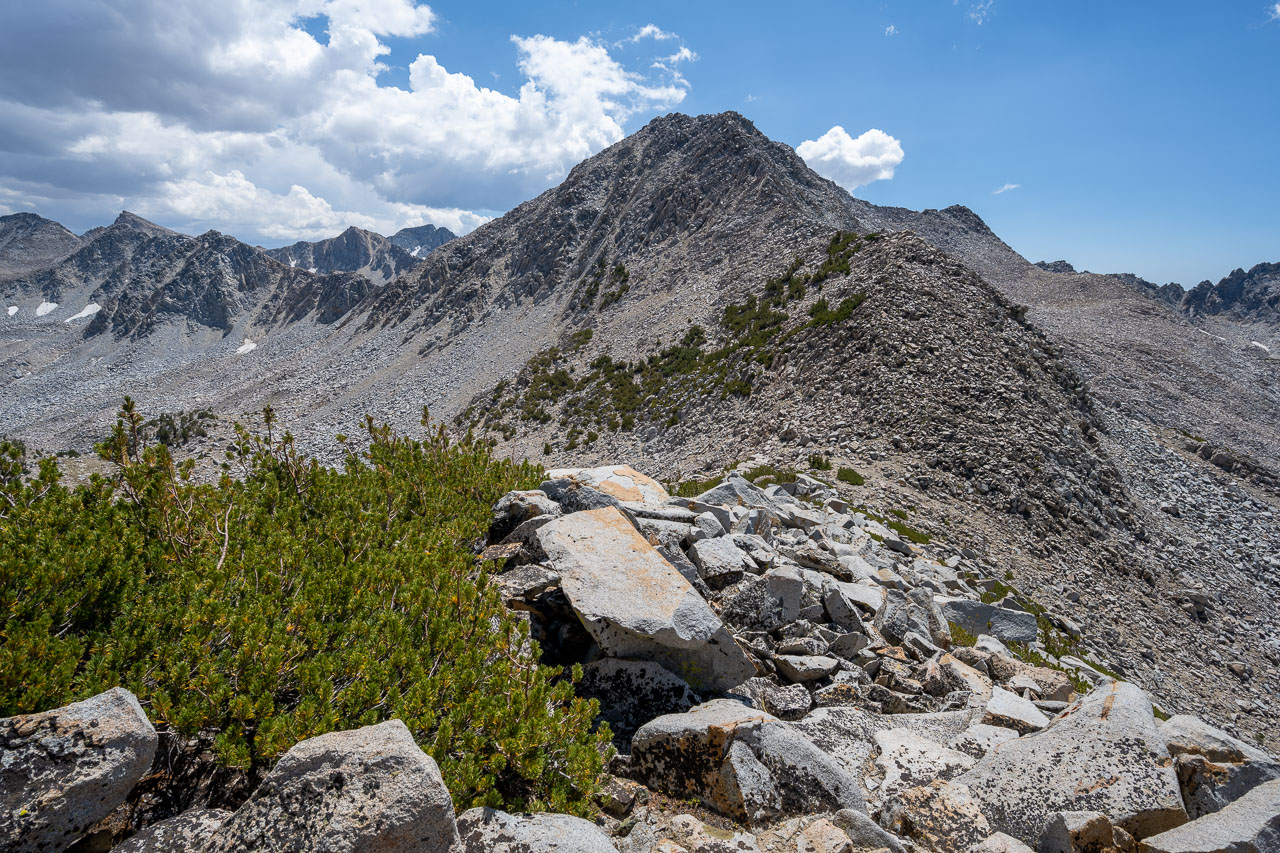
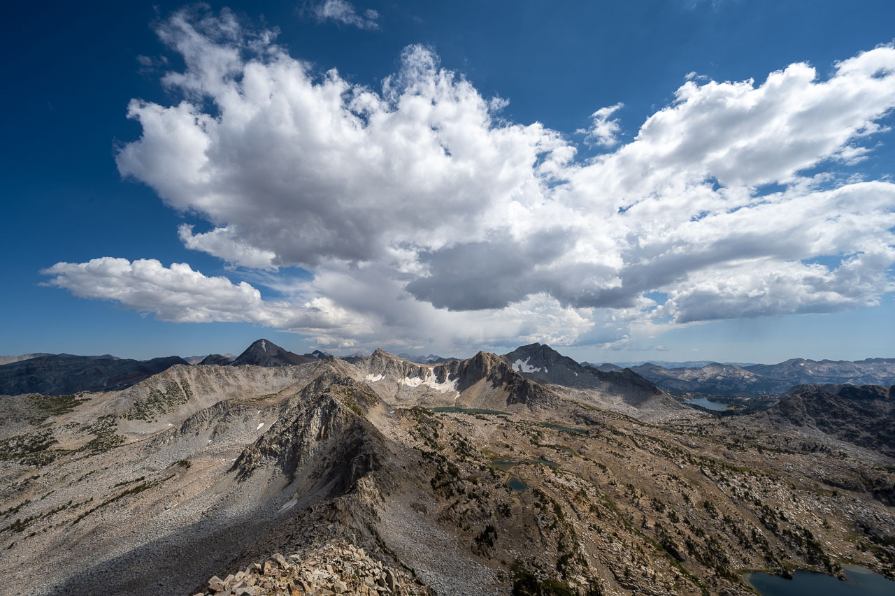
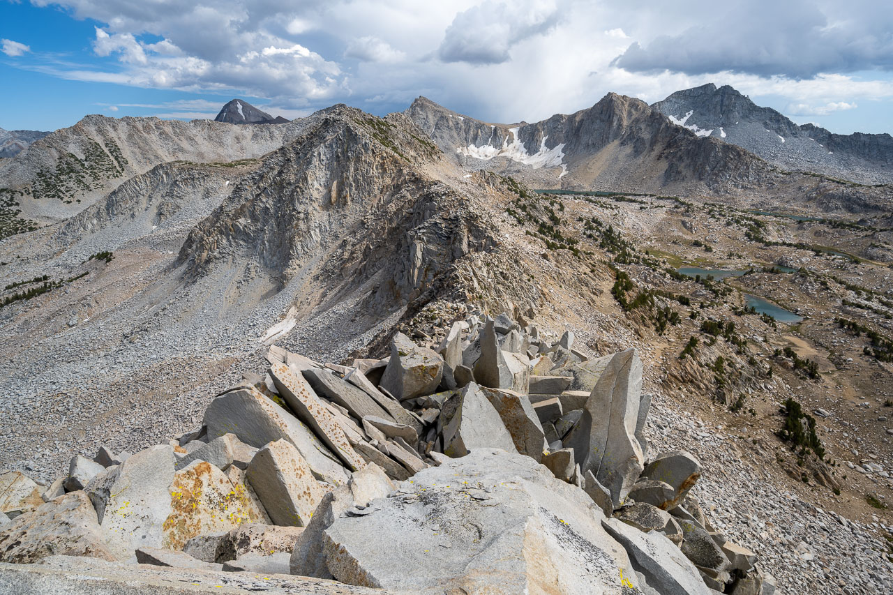
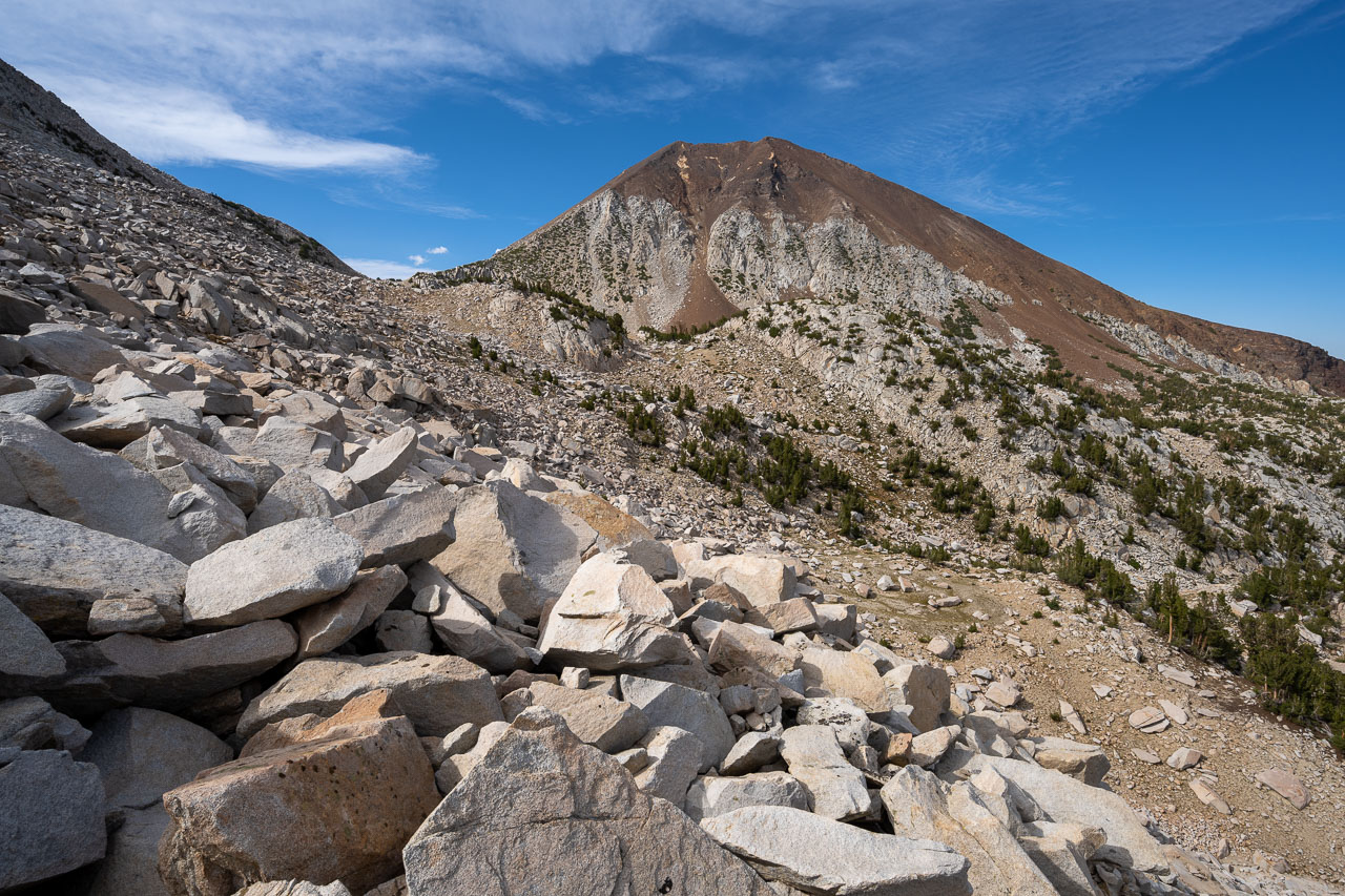
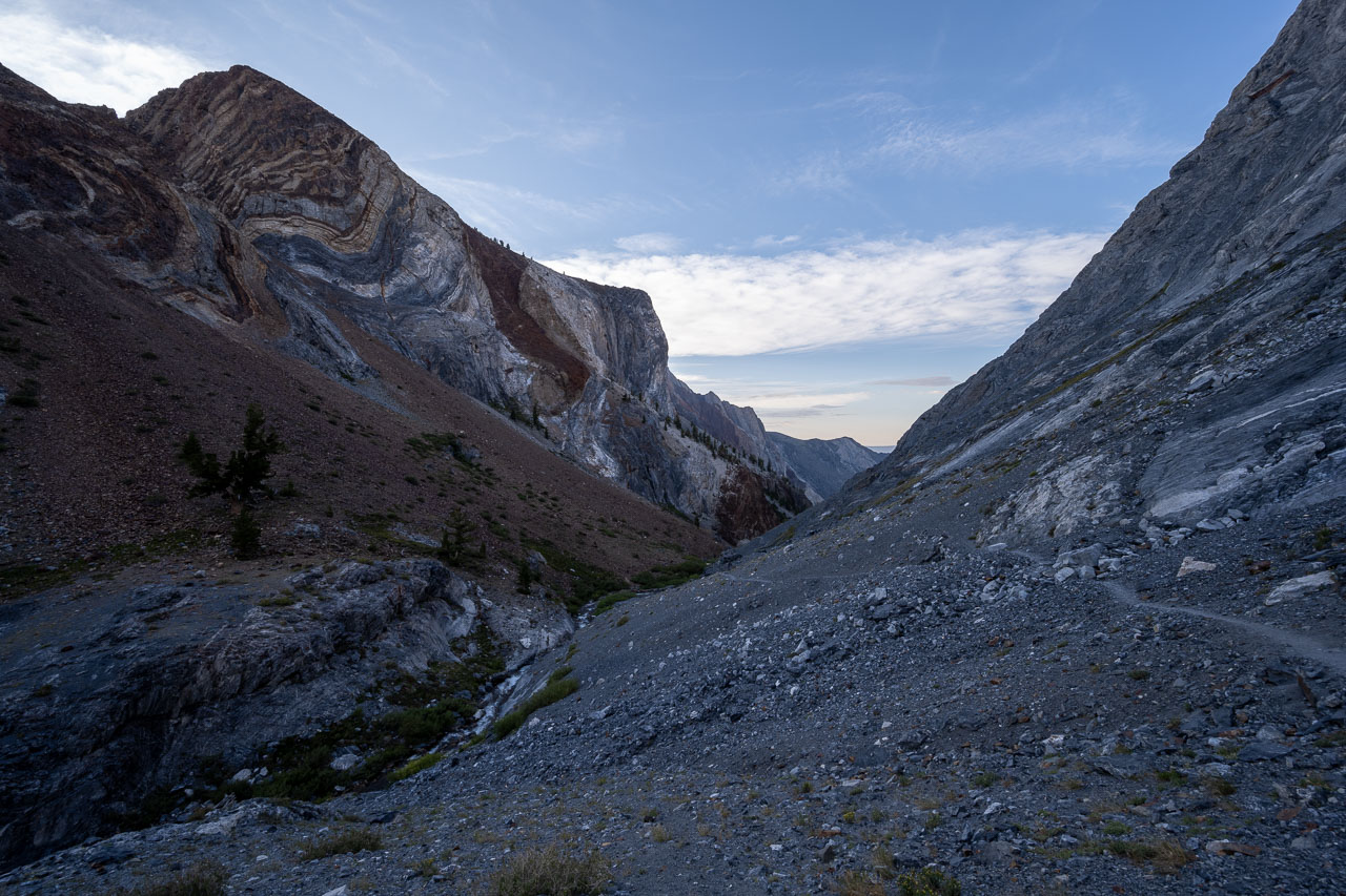
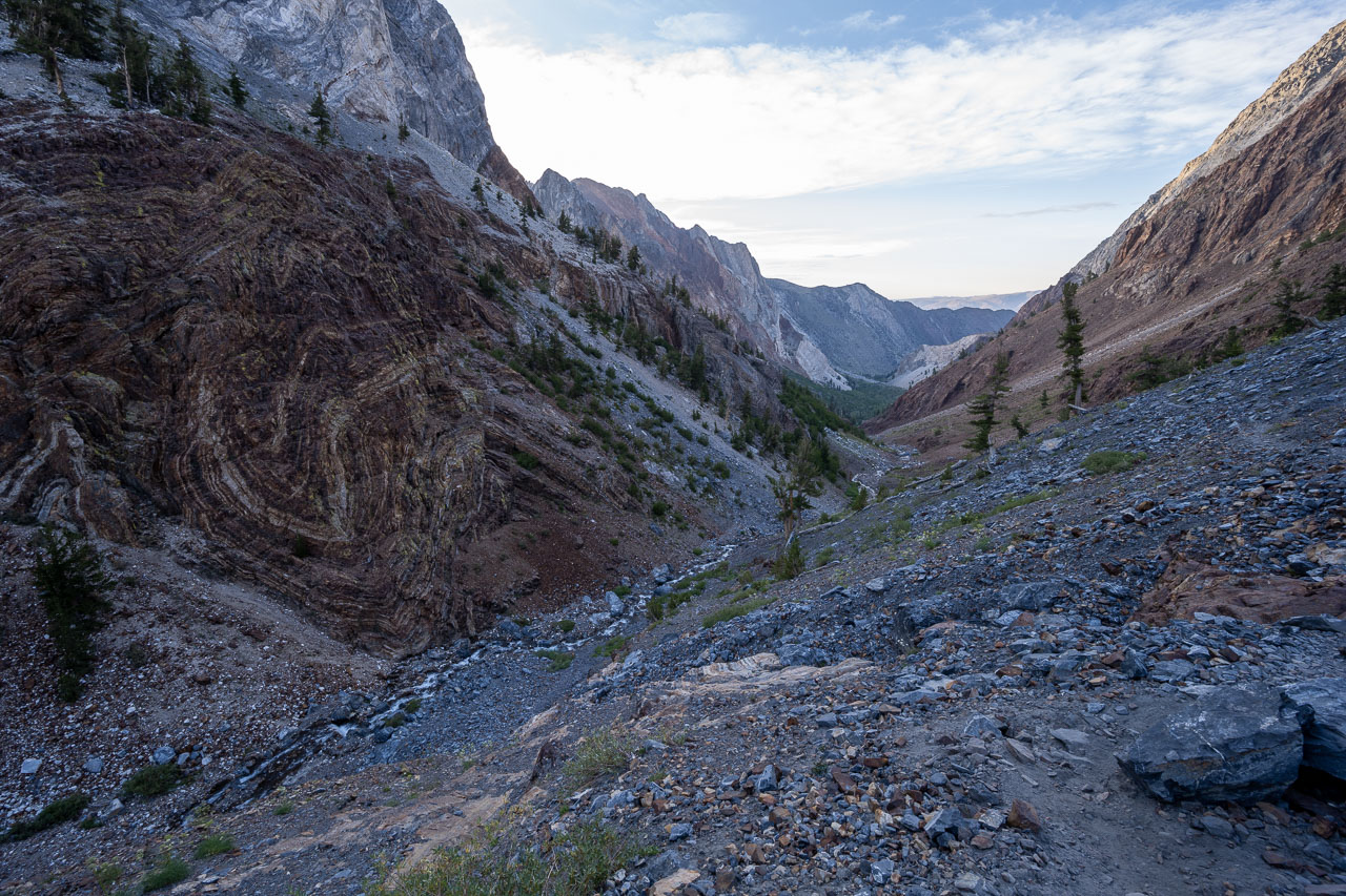
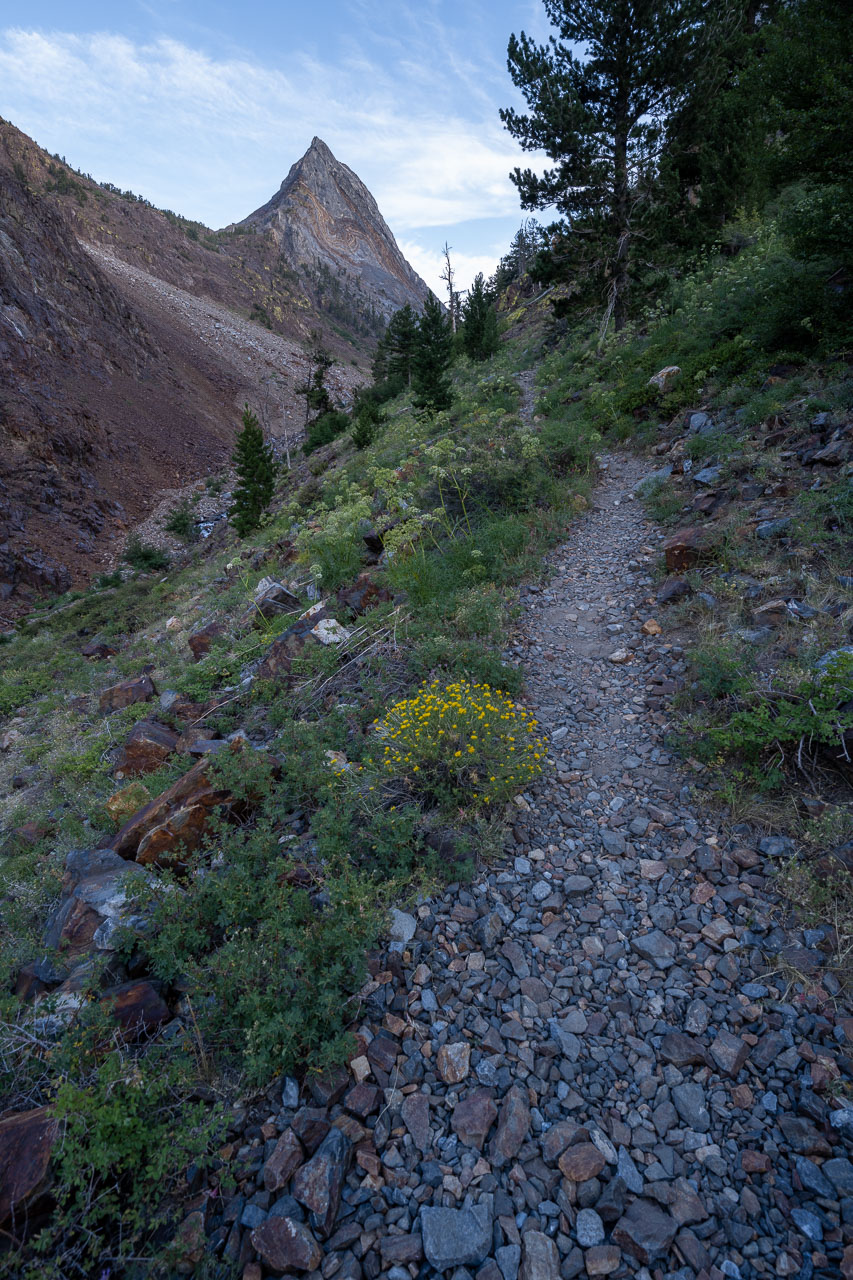
About halfway up I crossed a thin band of reddish rock running perpendicularly across the face. From here I could make out the correct gully leading up and to the left. A few hundred feet higher, I entered the larger band of reddish rock that marks the beginning of the upper gully system leading to the summit. Once I was in the upper gully, the route was pretty straightforward the rest of the way.
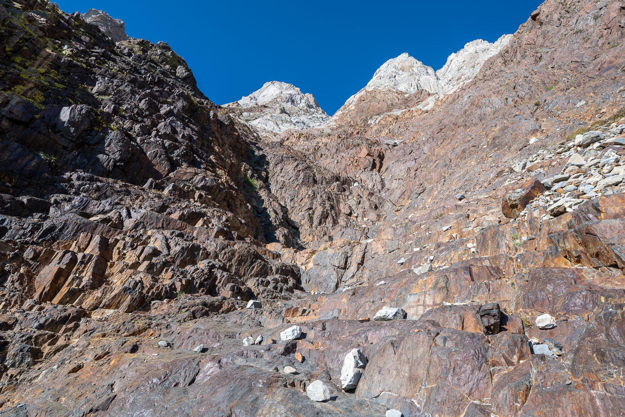
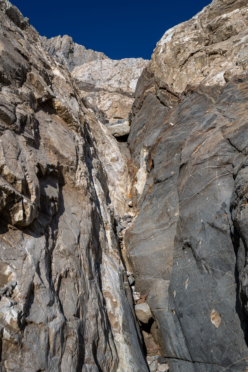
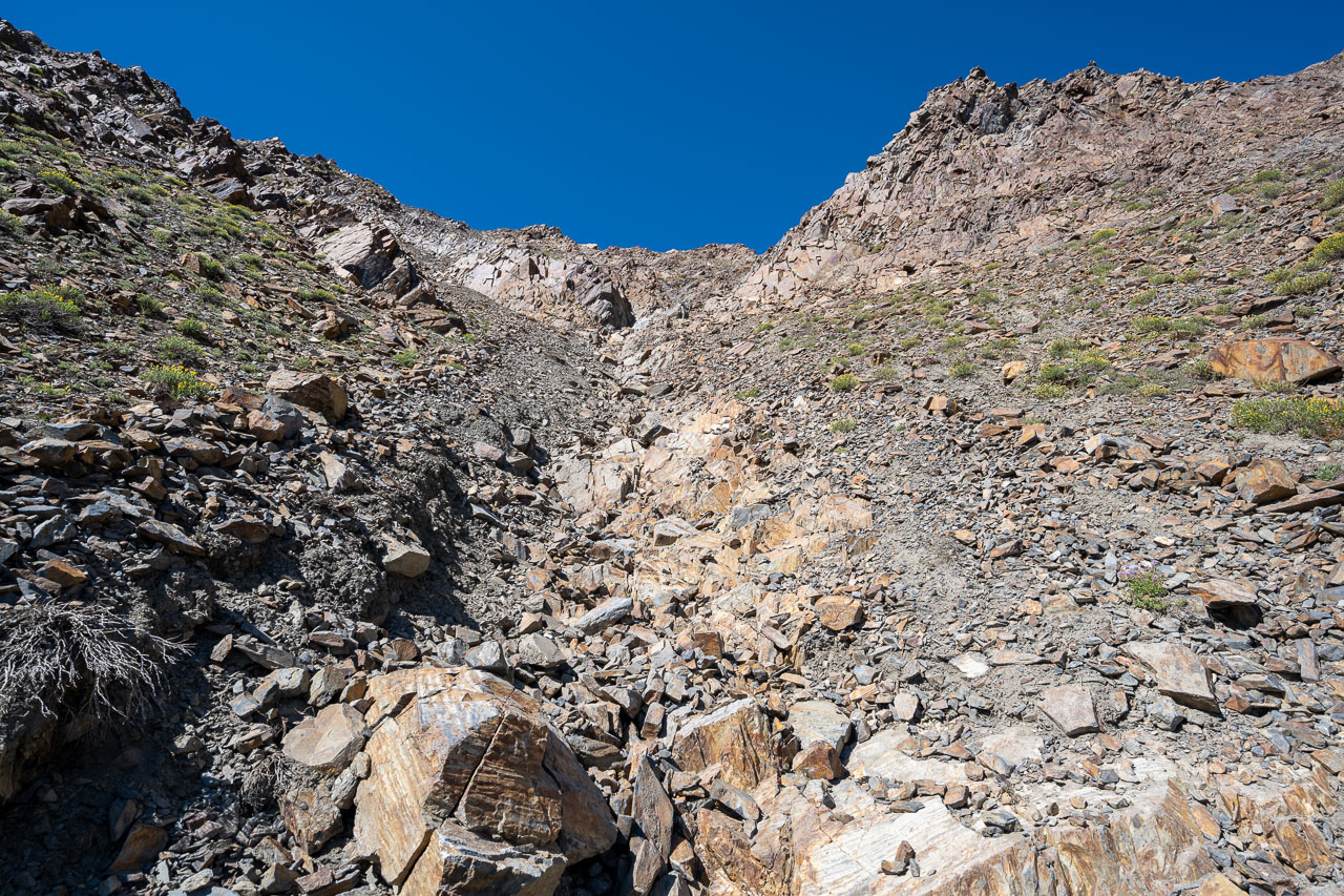
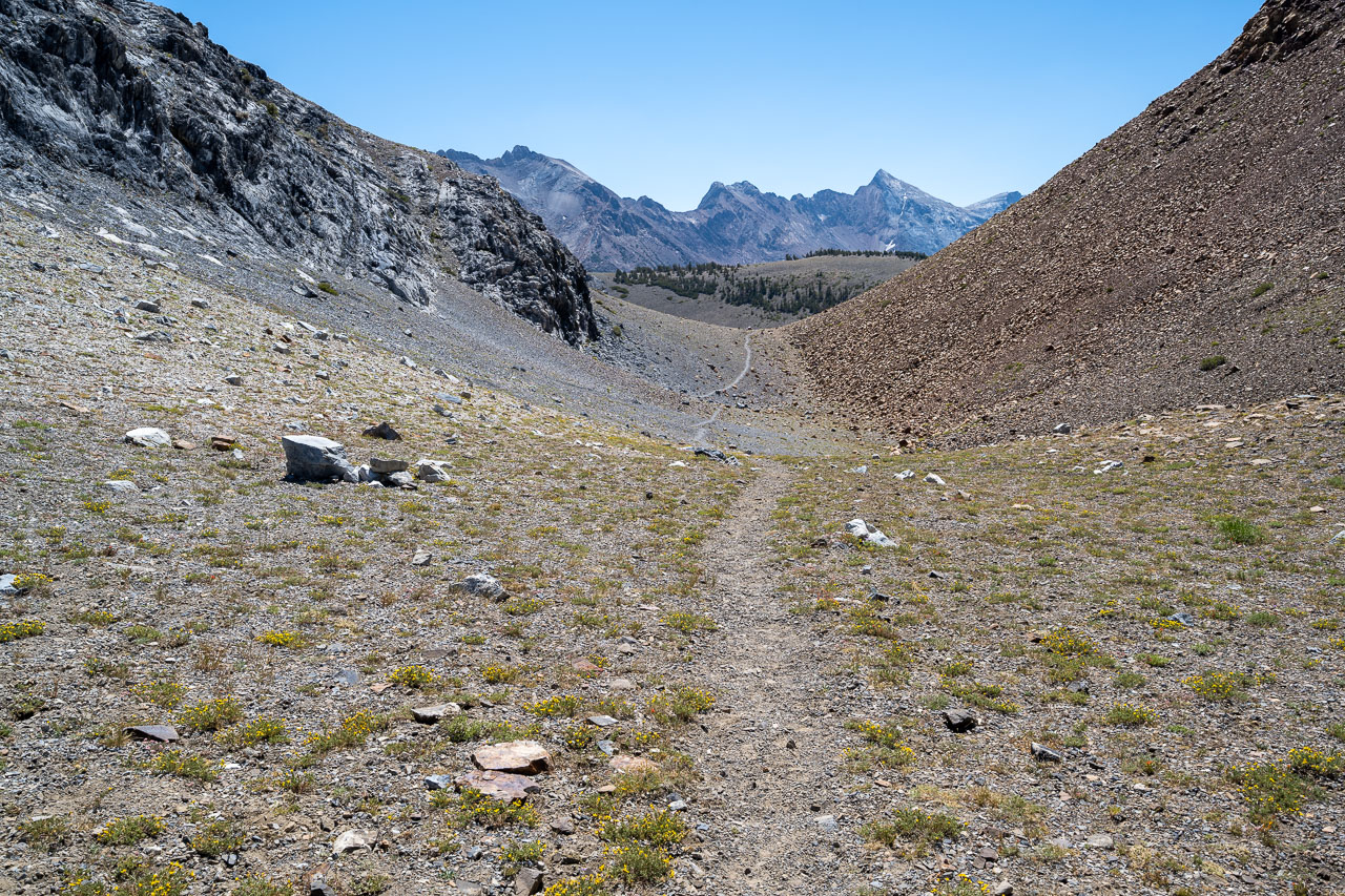
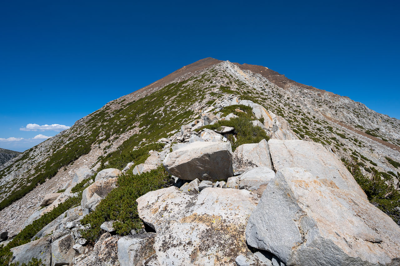
There were a few steeper slab sections that required friction climbing in the upper gully, but these generally had a crack system on either the left or right that could be used to bypass them. I didn’t encounter much loose rock on the route, but if something did get knocked down it would go a long way before stopping. I wore a helmet, but fortunately there was no one above me on the route. Eventually the good climbing ended in a talus field below the summit. After a few hundred feet of Class 2, I arrived on the ridge just south of the summit. From there it was an easy walk up to the highpoint. Overall, I really enjoyed the route and would definitely recommend it to others looking for a good Class 3/4 route.
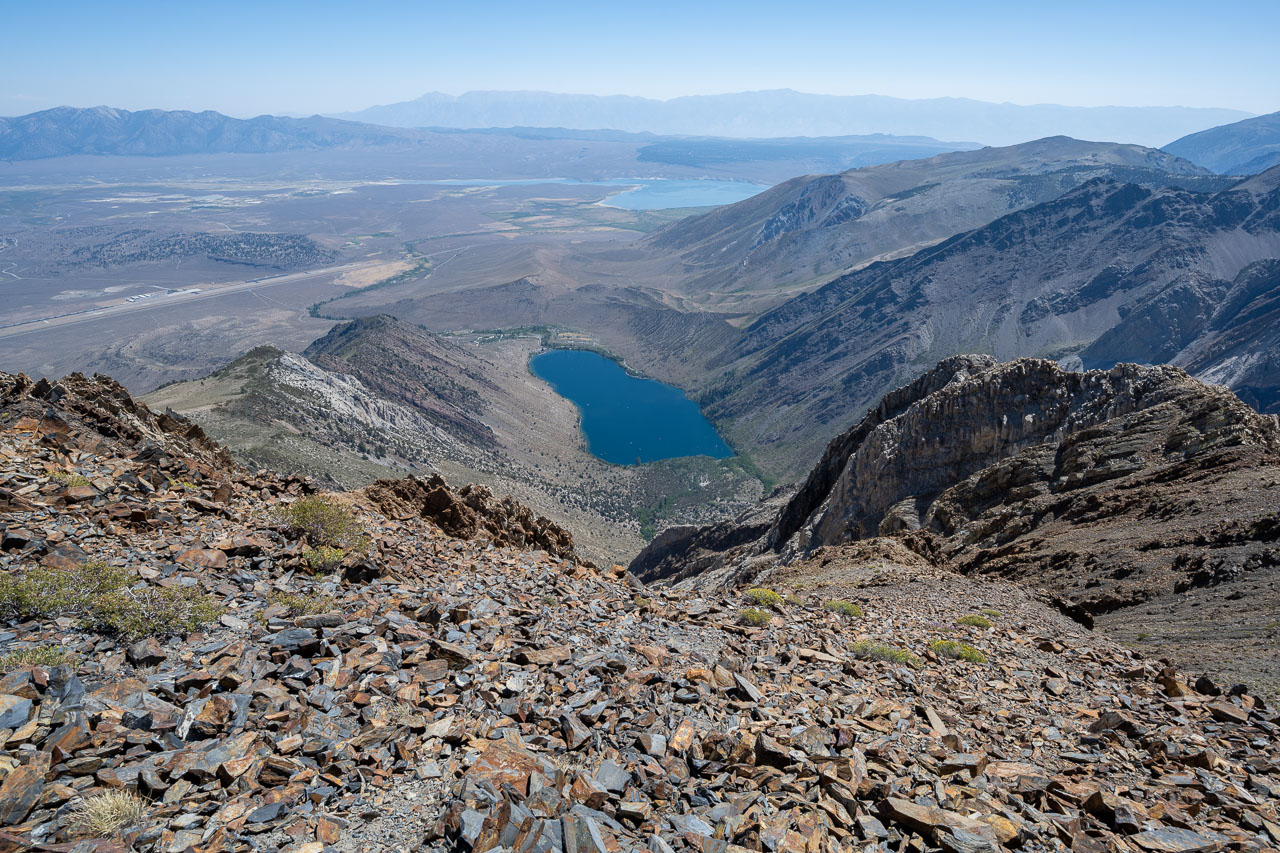
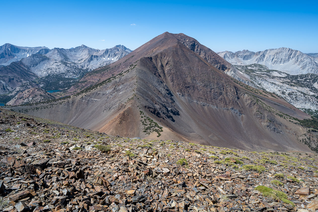
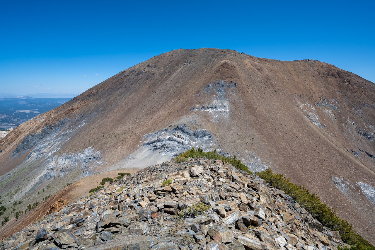
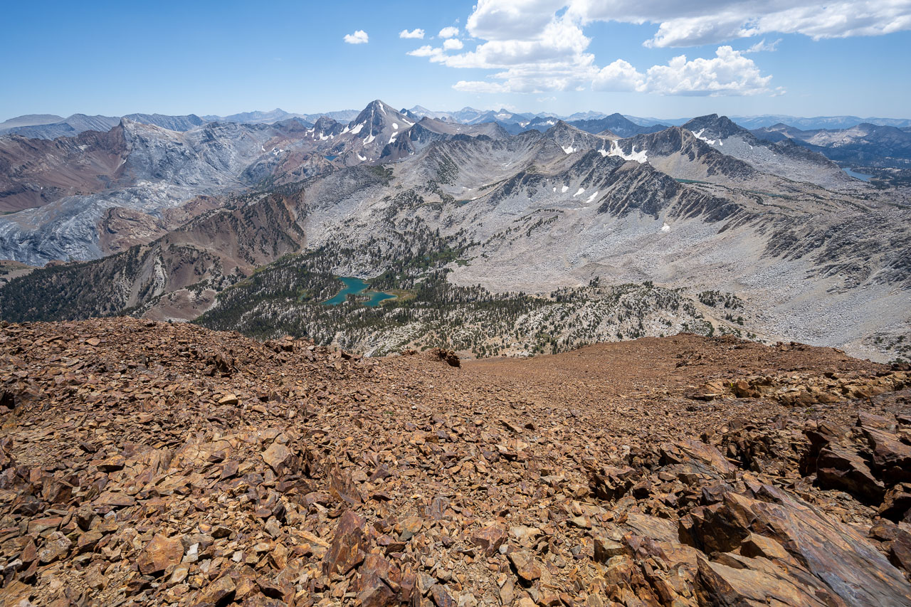
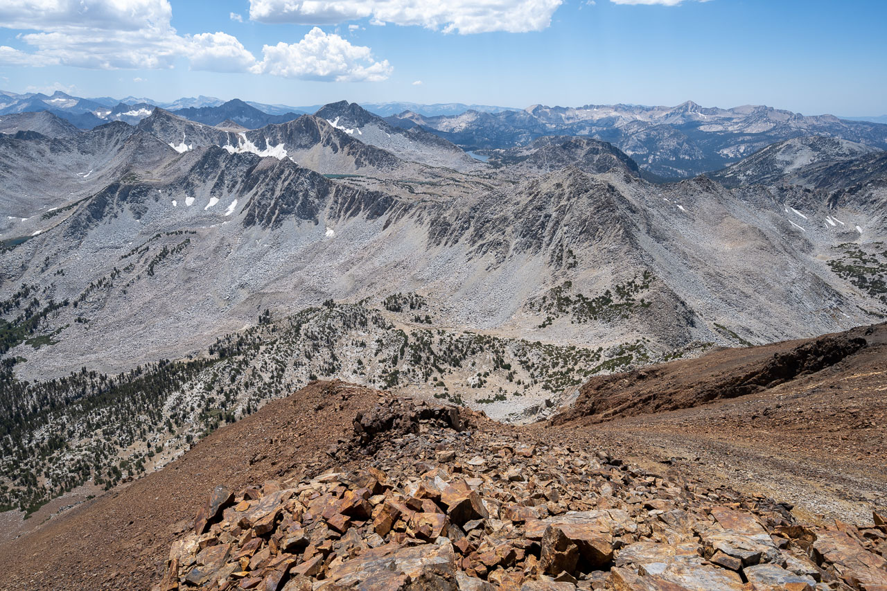
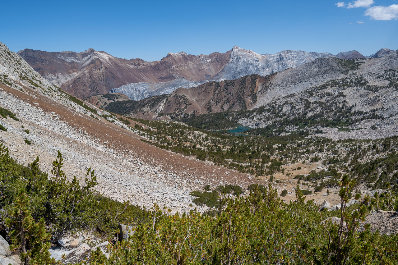
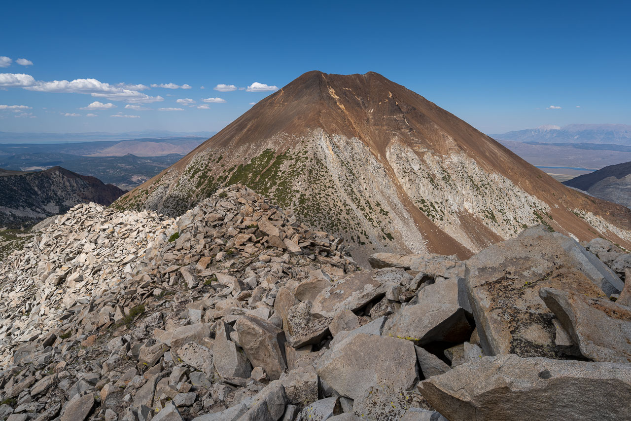
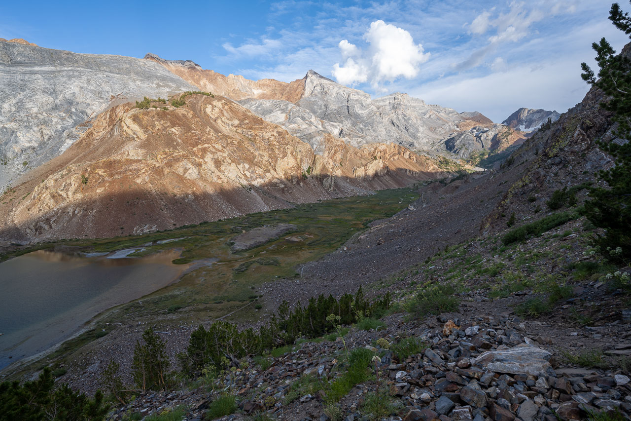
My plan for the afternoon was to continue on to Bloody Mountain and Peak 11981, then loop back to the car past the lakes to the south. I chatted briefly with another hiker who had just come up from the 4WD road to the north, then started toward Bloody Mountain. Near the Laurel/Bloody saddle, I picked up a use trail that led all the way to the summit of Bloody Mountain. The summit had a good view of the surrounding mountains, including the colorful peaks to the south and east that included Red Slate Mountain, Mount Baldwin, and Mount Morrison. I could also see the remaining route over to Peak 11981, which looked like it should be pretty straightforward.
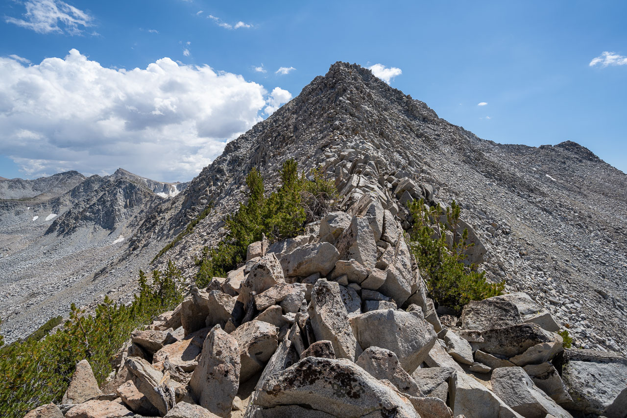
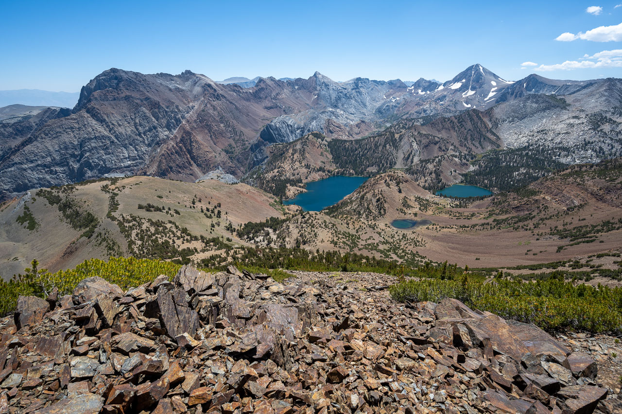
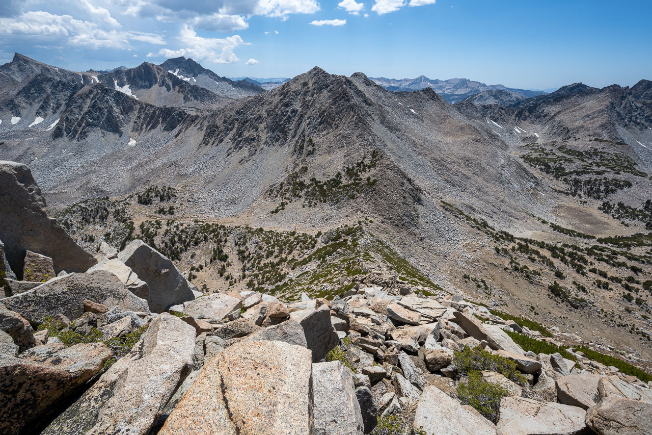
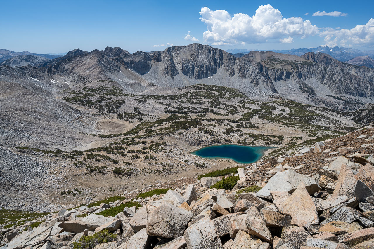
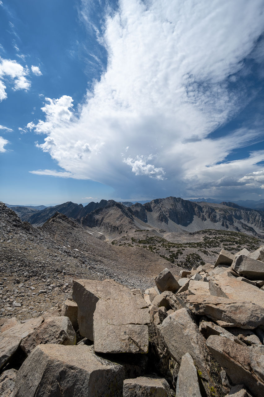
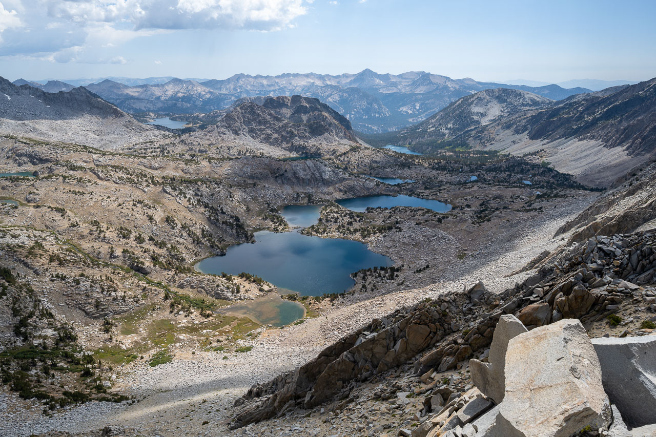
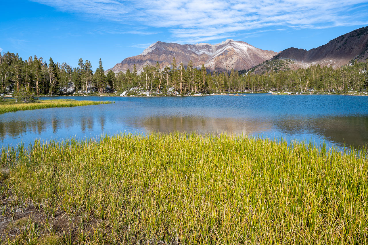
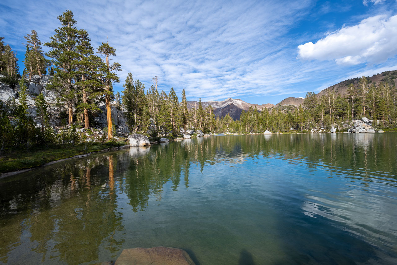
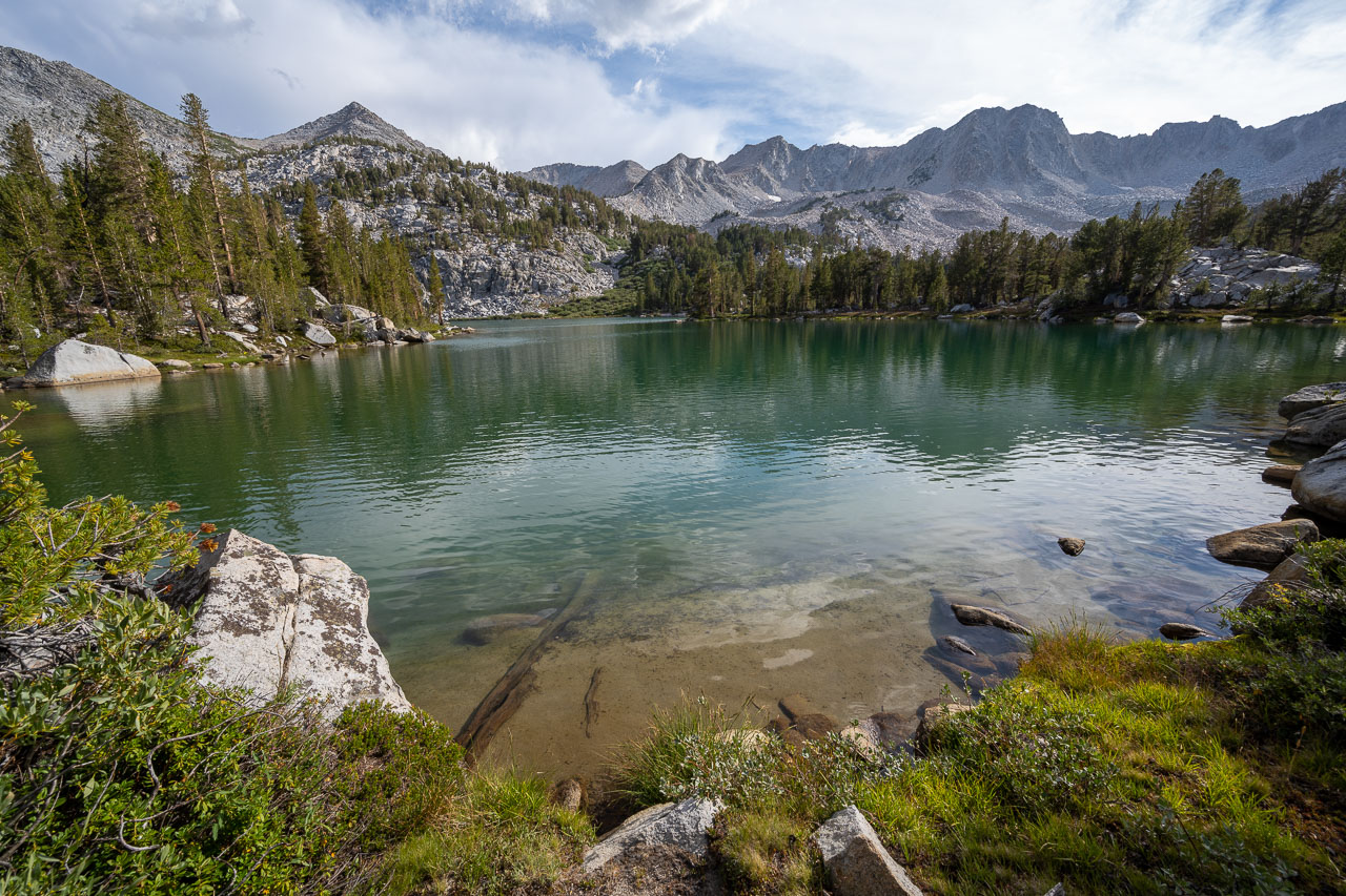
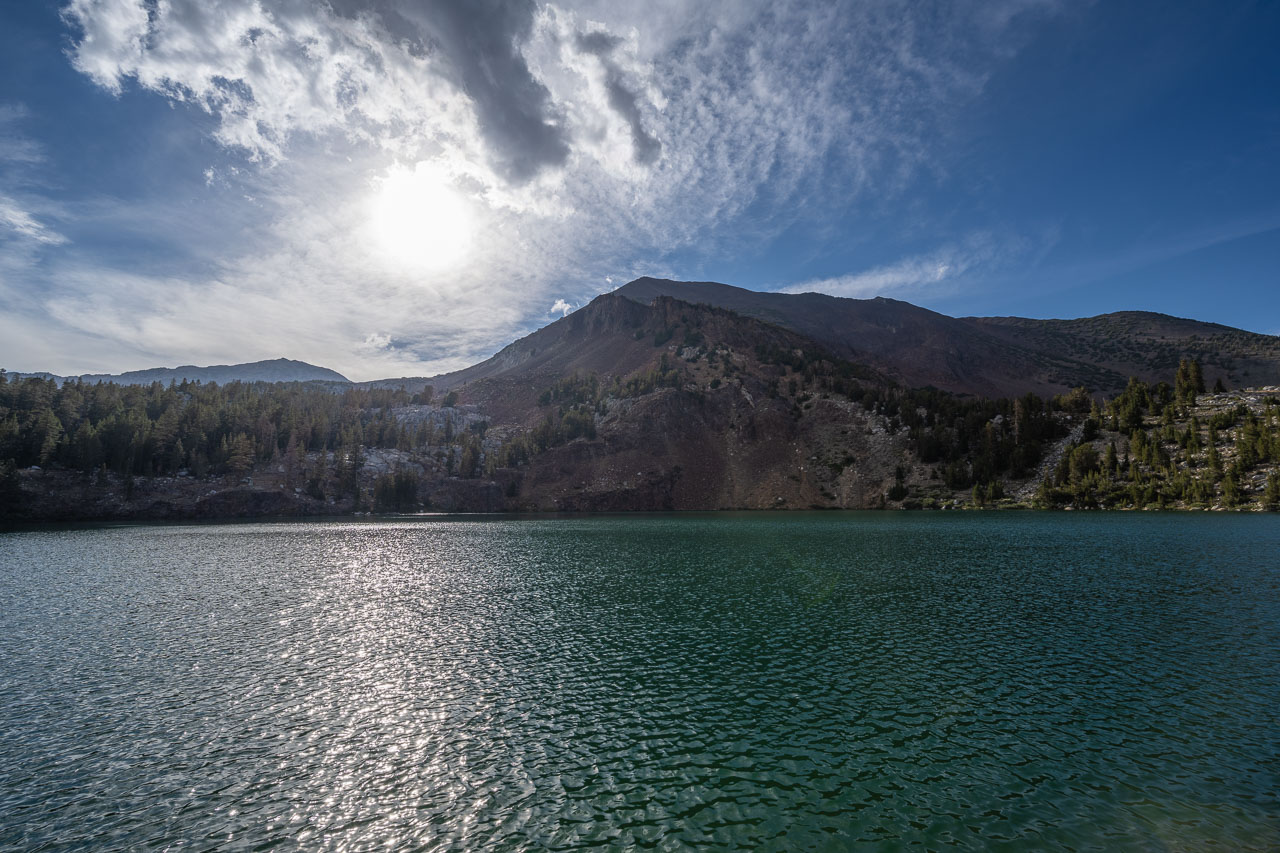
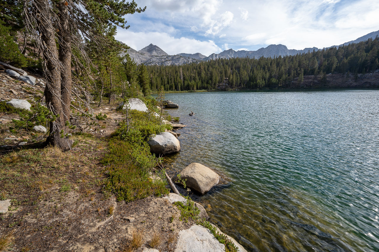
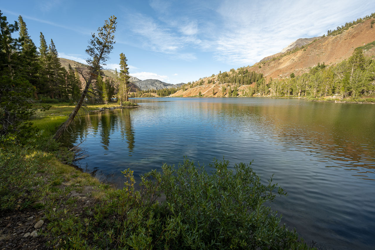
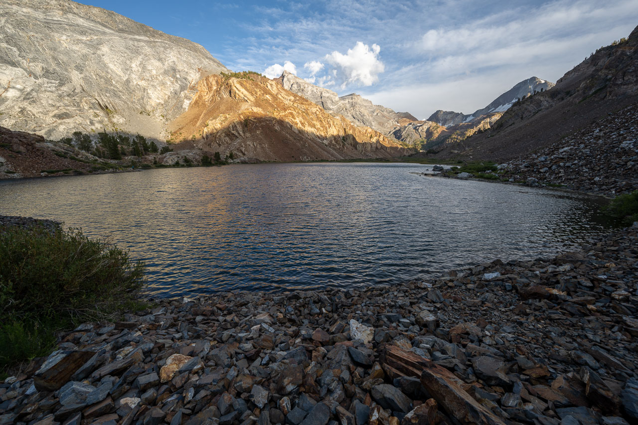
Dropping down the southwest ridge of Bloody Mountain, I left the red rock behind and entered back into granite. From the saddle, some Class 2/3 scrambling led up to the summit of Peak 11981, which I reached by mid-afternoon. Some clouds had started to build to the south, but fortunately these wouldn’t produce any rain. After signing into the summit register, I continued down the south ridge until I found a spot to drop down to Cloverleaf Leak. I refilled on water near Cloverleaf, then continued on trail past a string of lakes, including Edith, Genevieve, Dorothy, and Mildred. The colorful rock and the afternoon clouds made for a scenic hike back to the car. After cooking up some food in the parking lot, I drove south to Rock Creek Lake to get ready for the Sierra Challenge the following day.