14.8 Miles, 7350 Gain
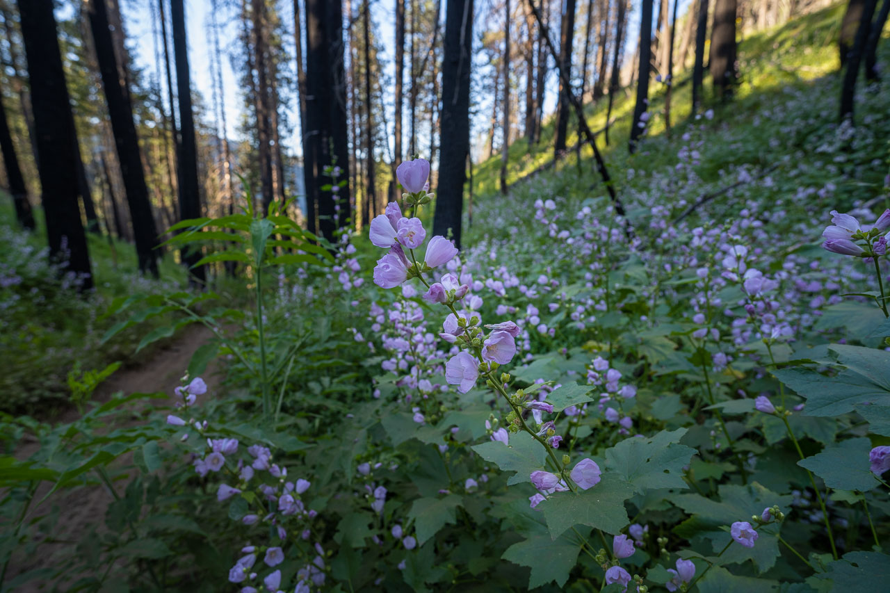
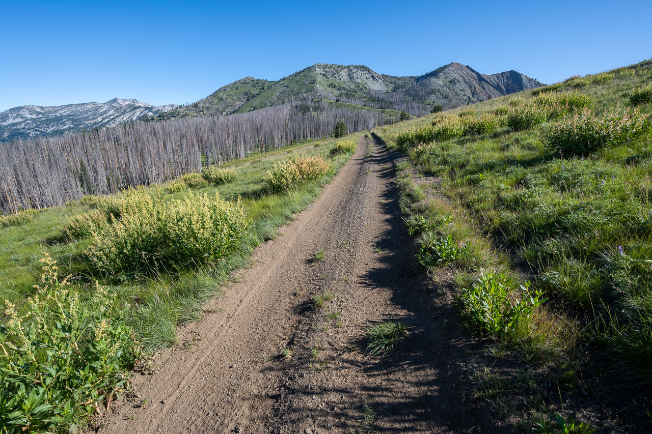
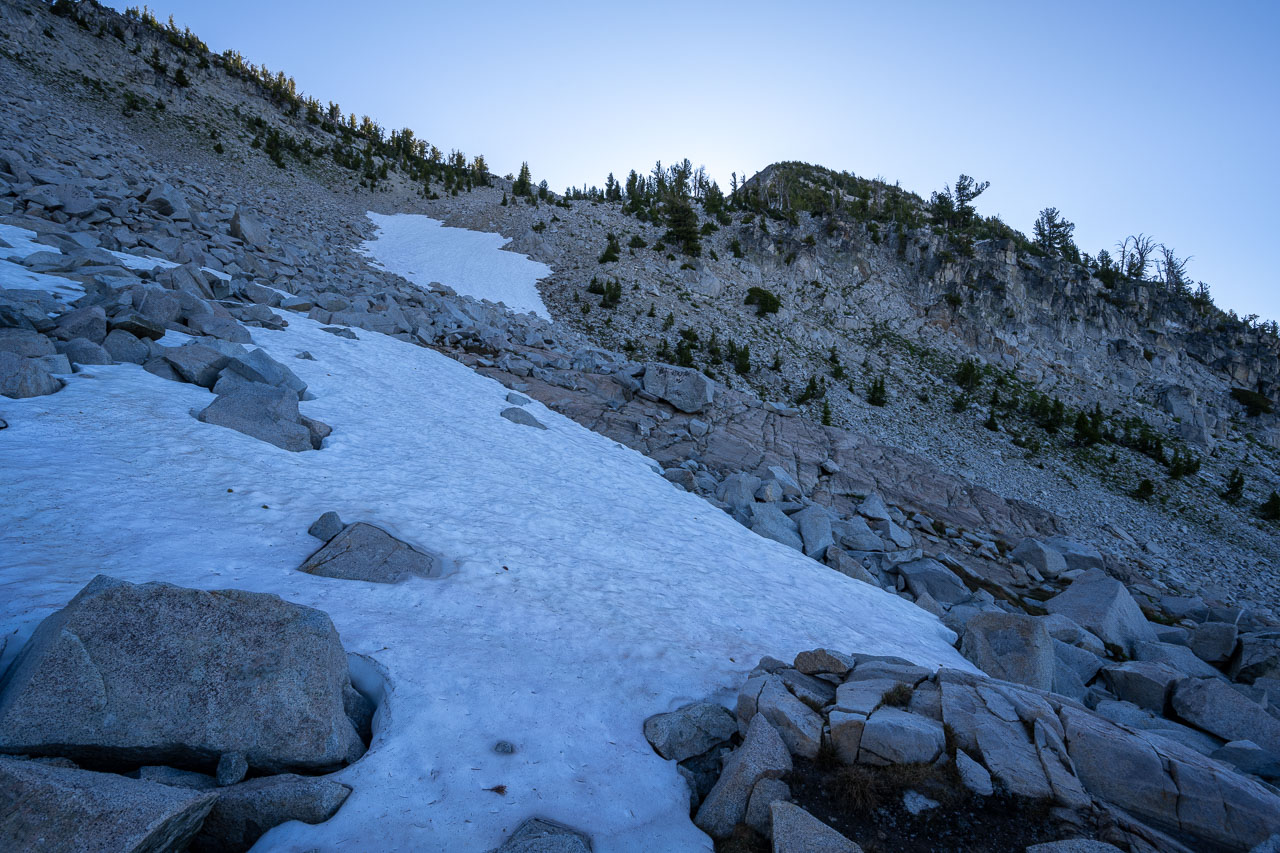
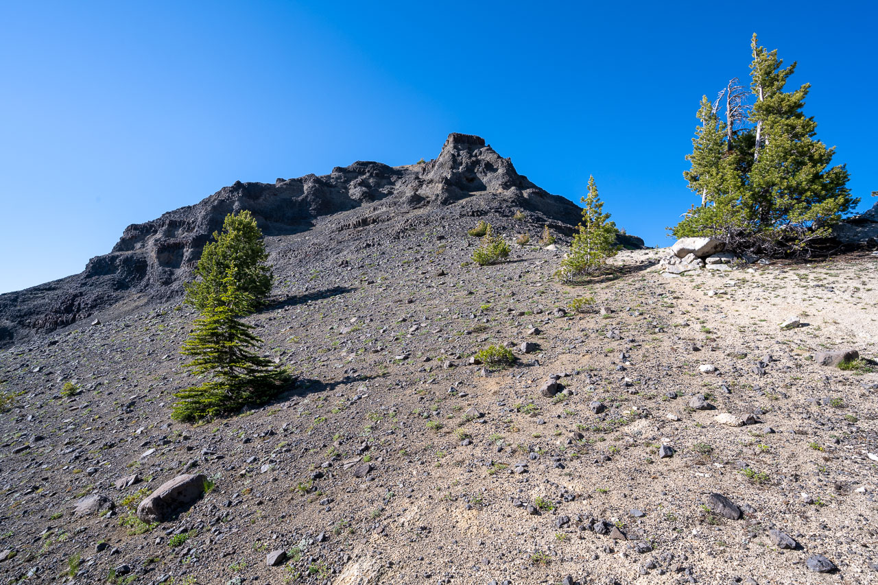
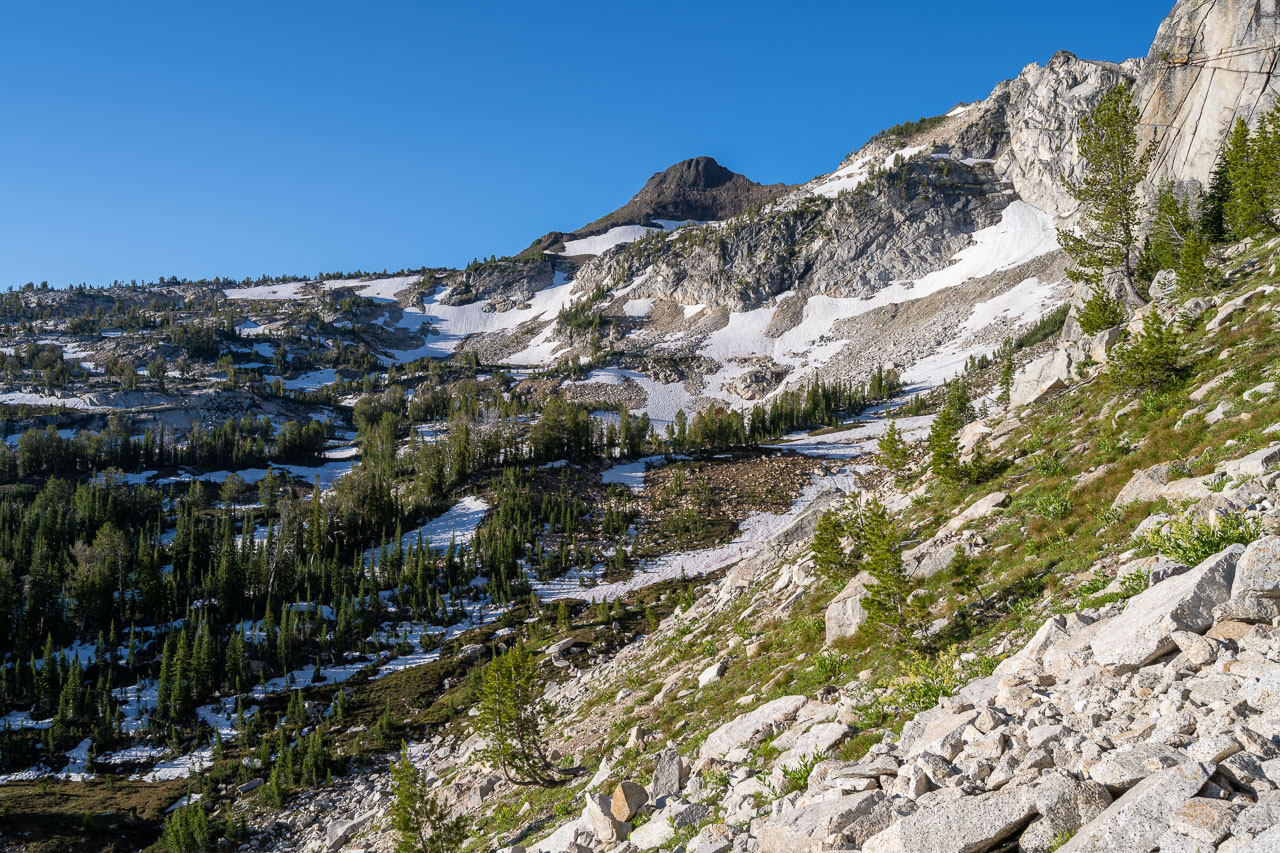
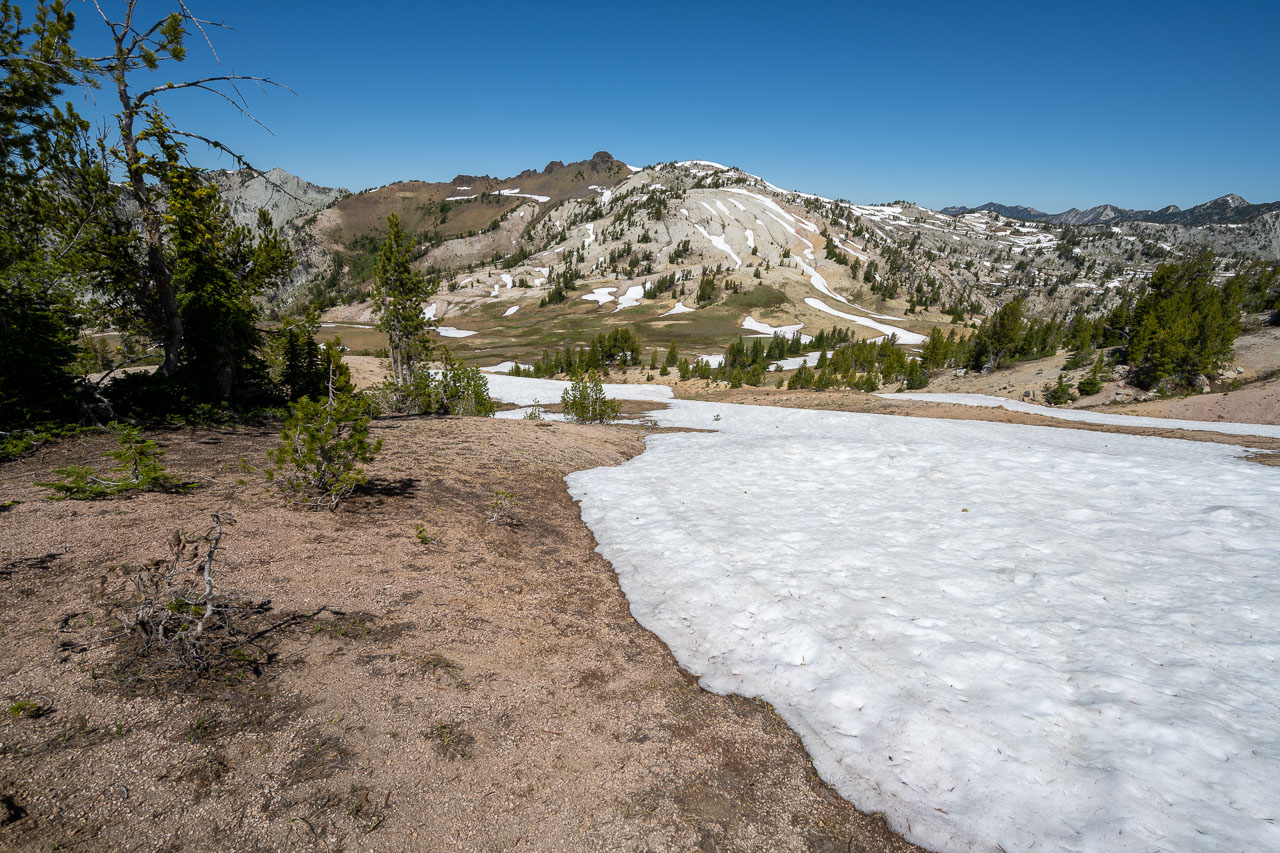
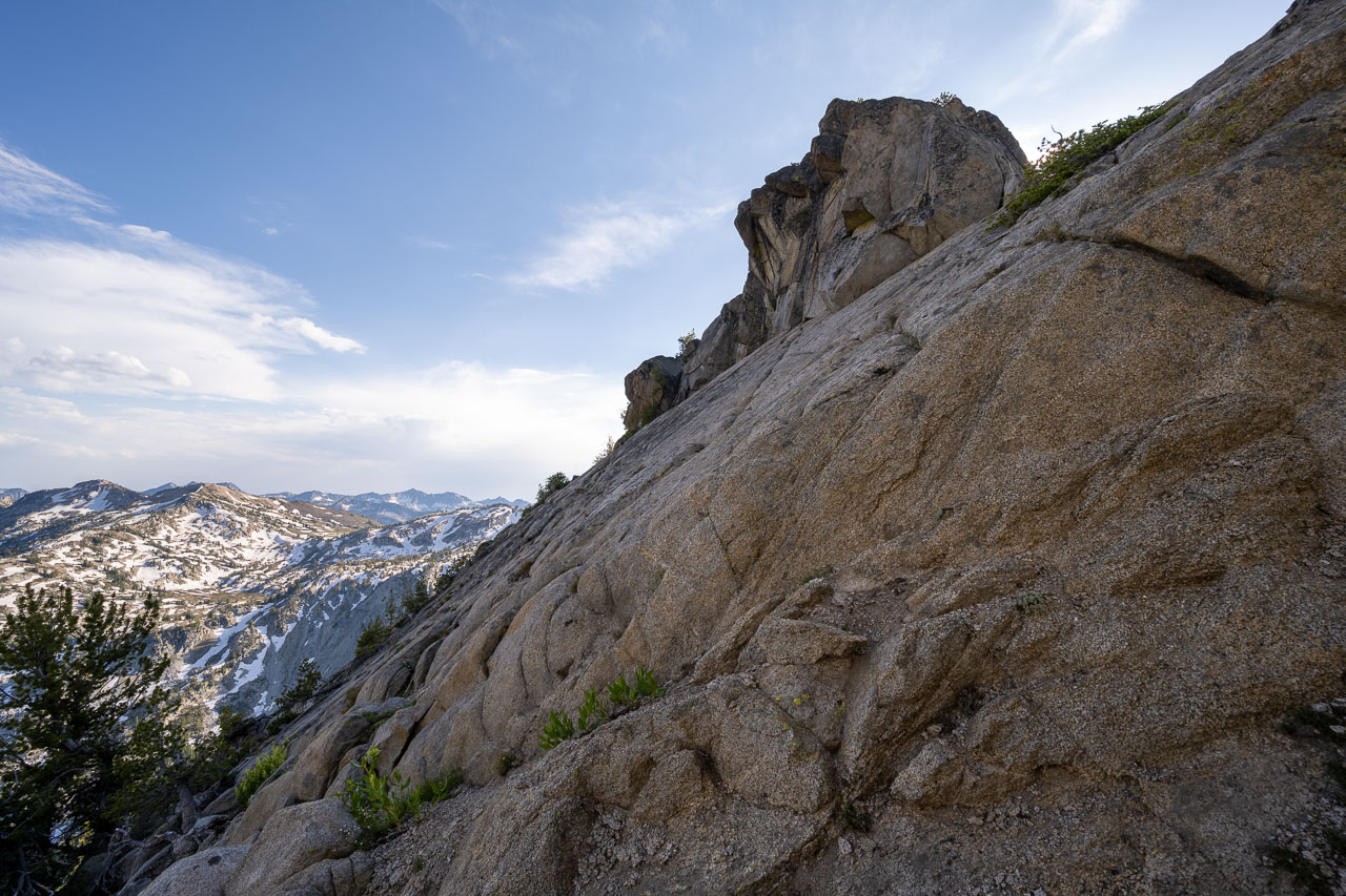
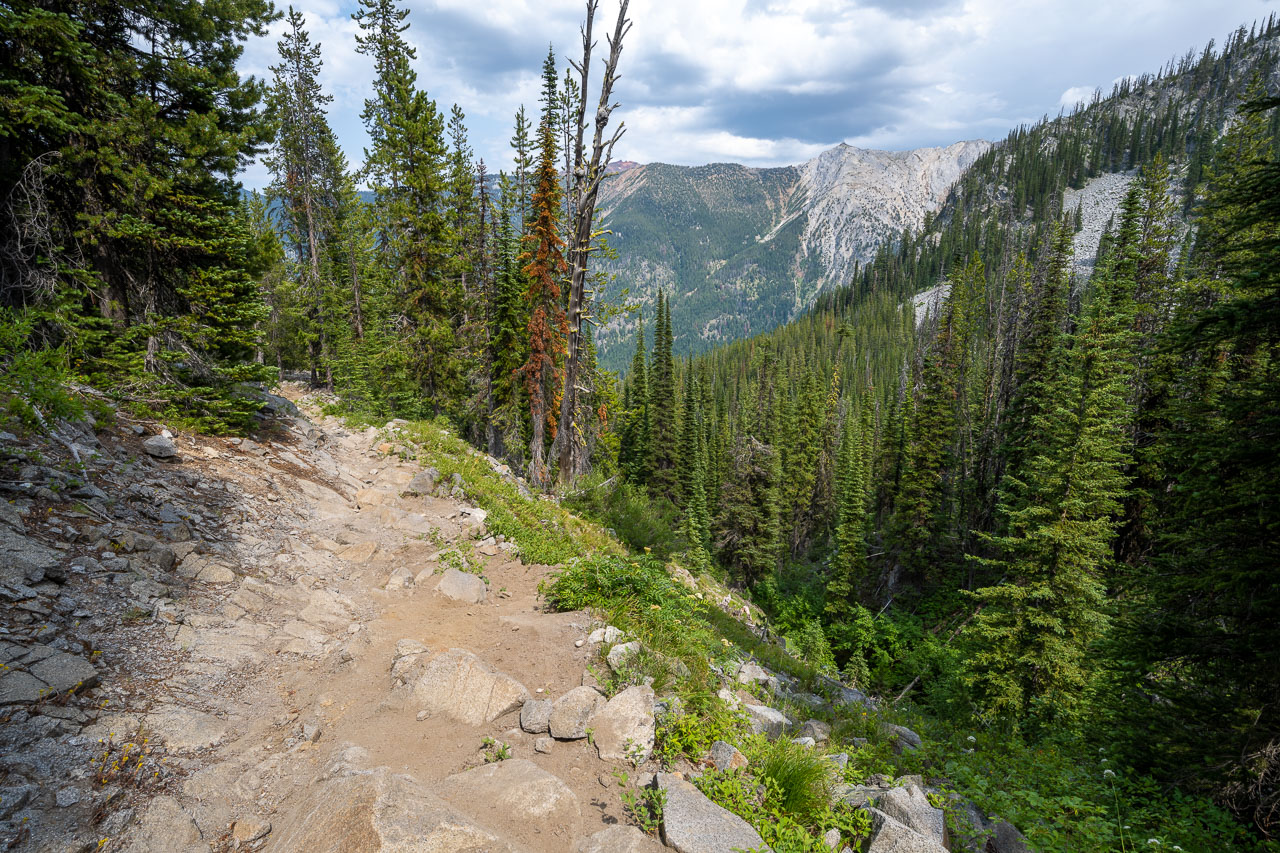
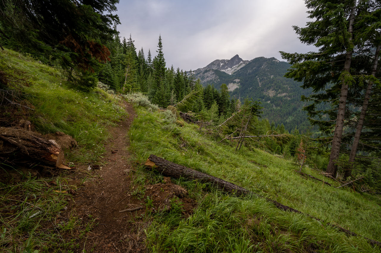
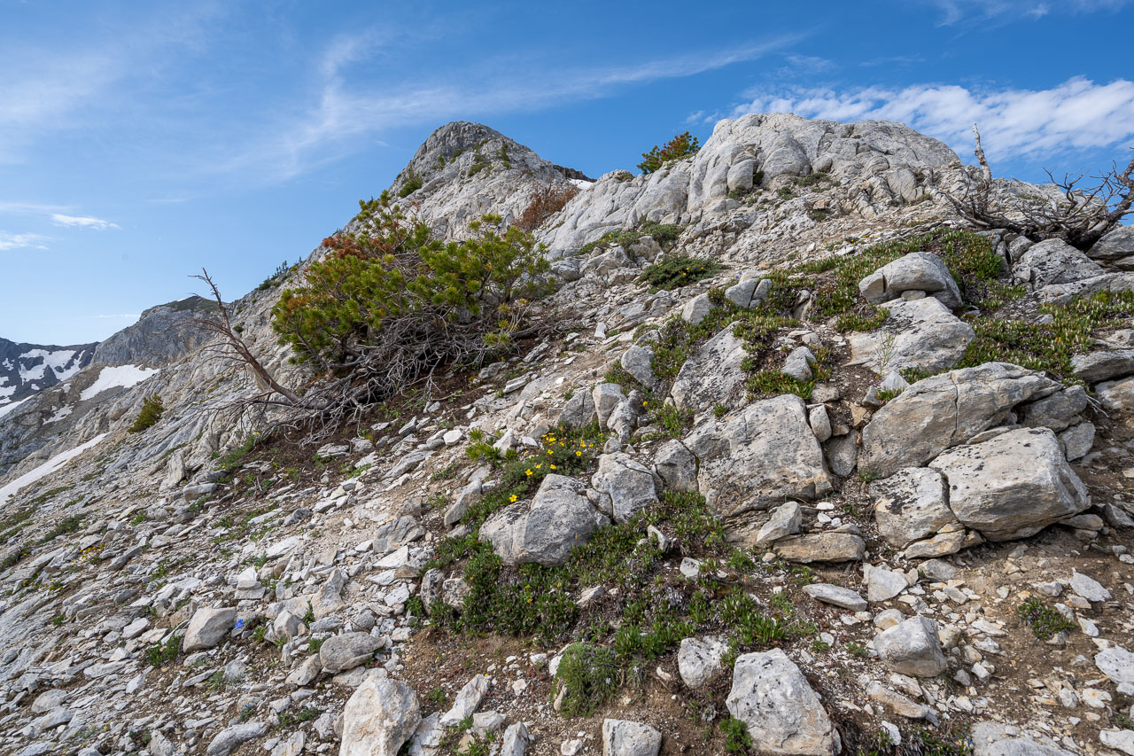
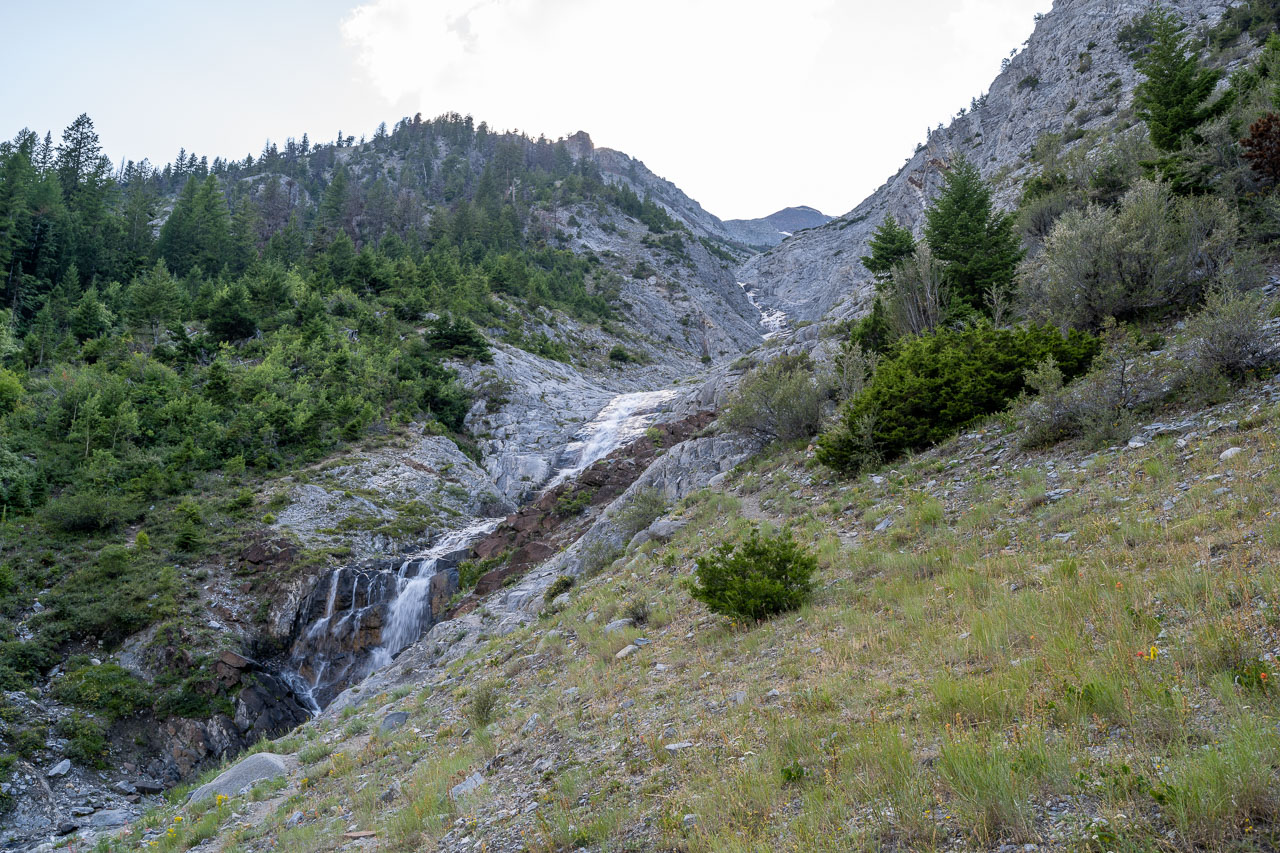
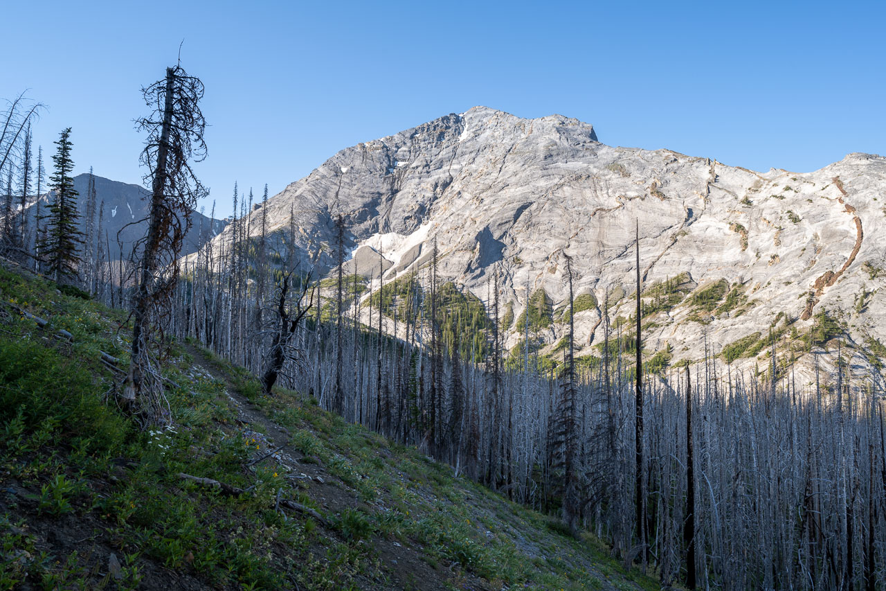
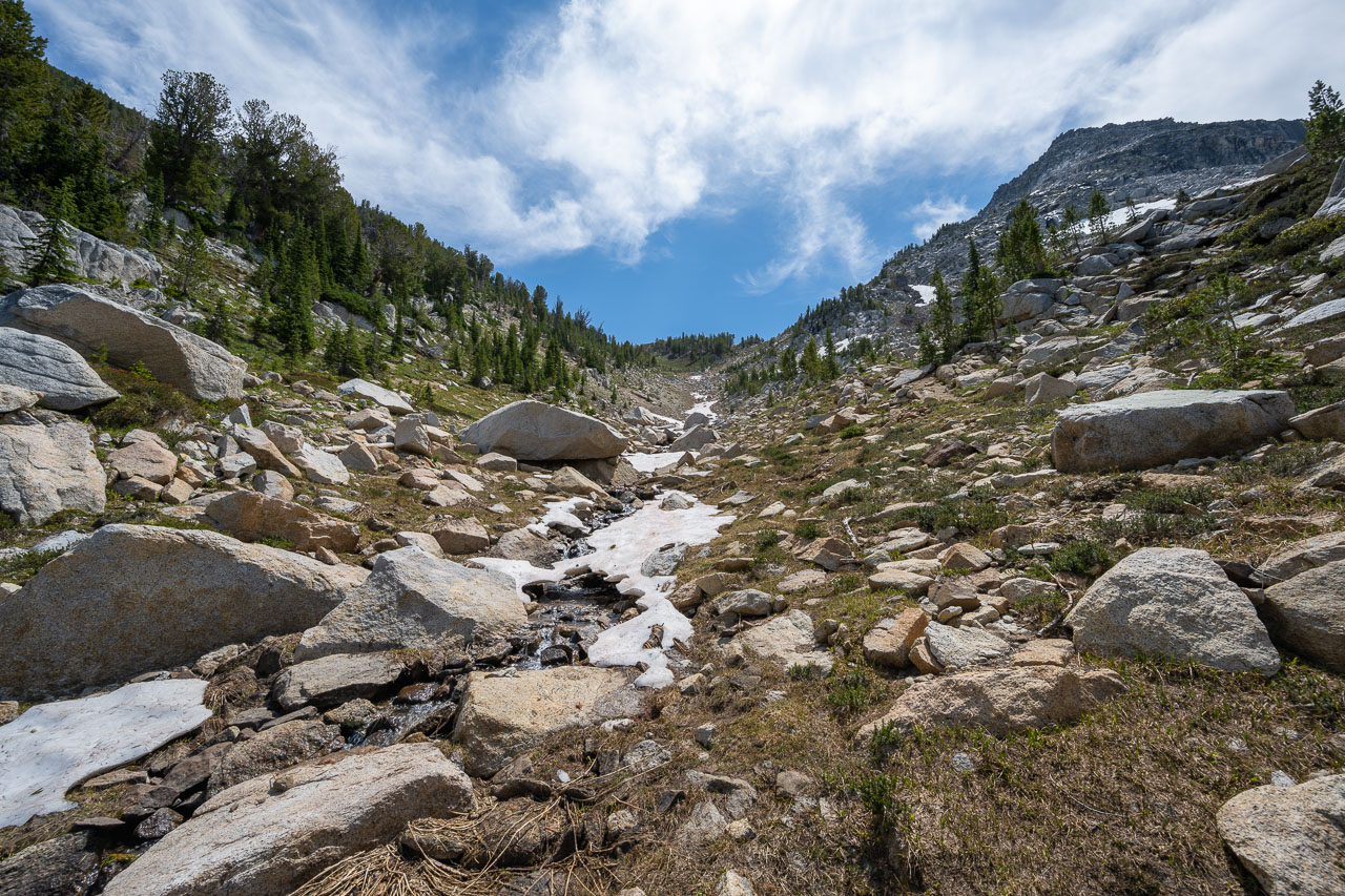
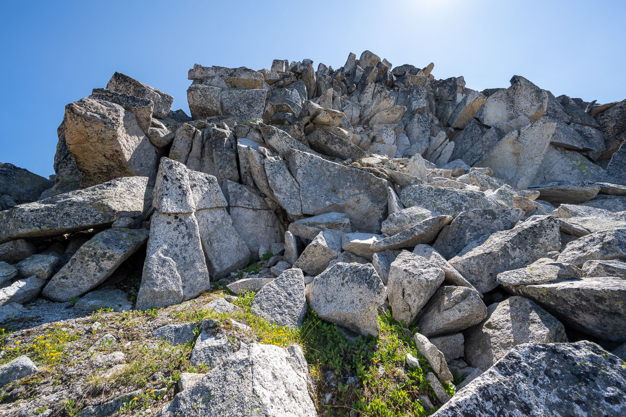
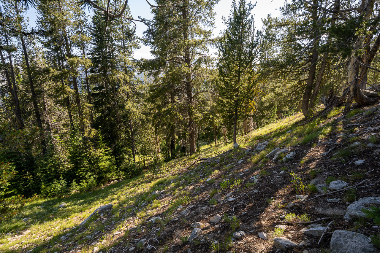
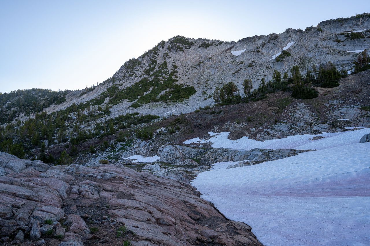
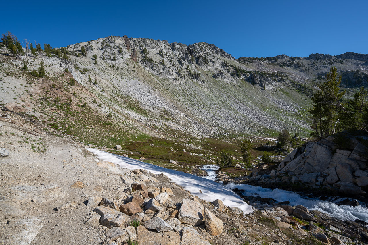
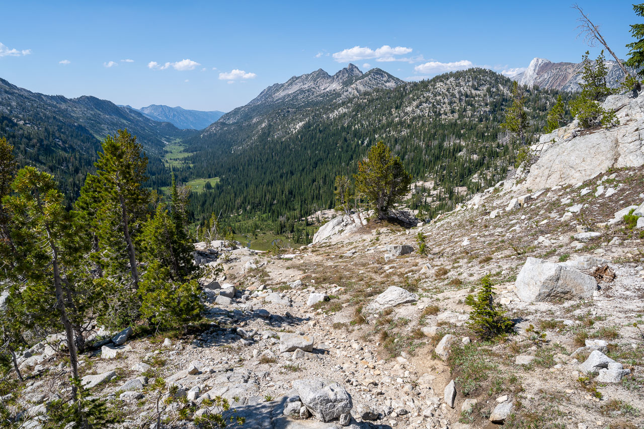
The Wallowa Mountains contain many of the tallest peaks in Oregon. They had been on my radar for a few years, and with some time off in late July I was glad to finally get a chance to visit the area. I made the 11-hour drive to the East Eagle Creek Trailhead the previous day and found a spot to car camp near the horse parking area. The road into the trailhead was in great shape and I managed to make it all the way in a low clearance 2WD vehicle. In the morning I packed up and got started a little after sunrise. Permits are self-issued at the trailhead and parking was free, which helped simplify the trip planning. To make the eight day route I had planned into a loop I needed to first gain the ridge separating the East and Main forks of Eagle Creek. On paper there is a trail leading up Gold King Creek, but the 2015 East Eagle Complex Fire had burned most of the hillside. I ran into a local driving up the road just before I started up Gold King Creek that mentioned the trail had not been maintained since the fire, so I wasn’t expecting much of a track.

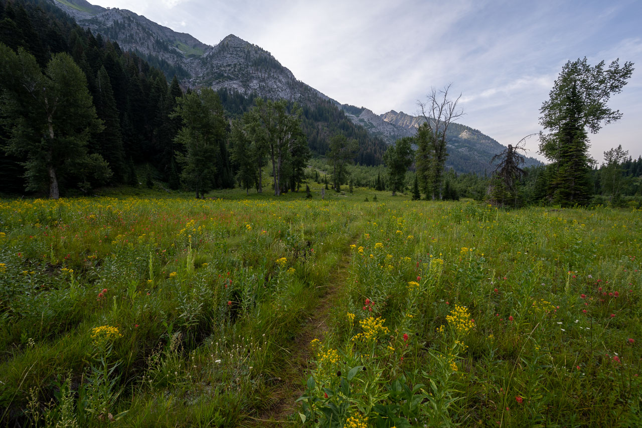
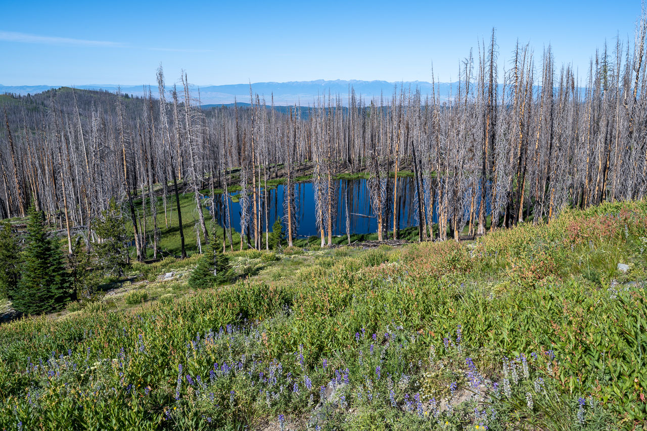
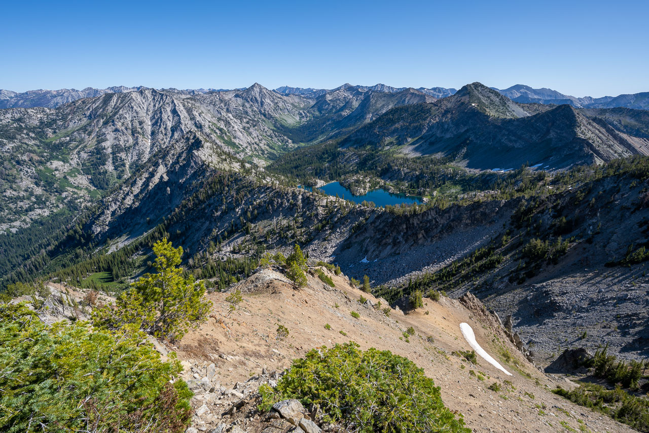
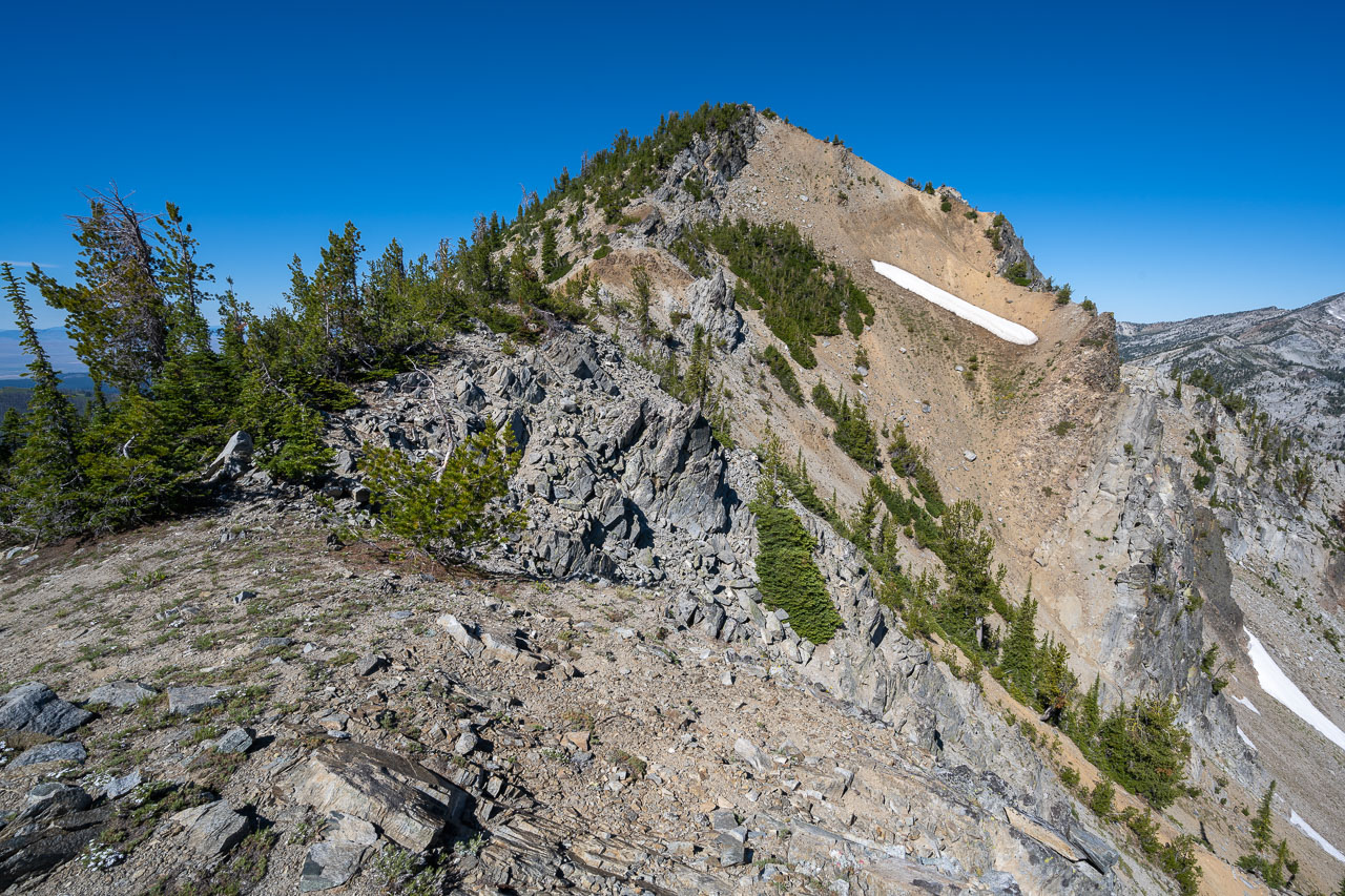
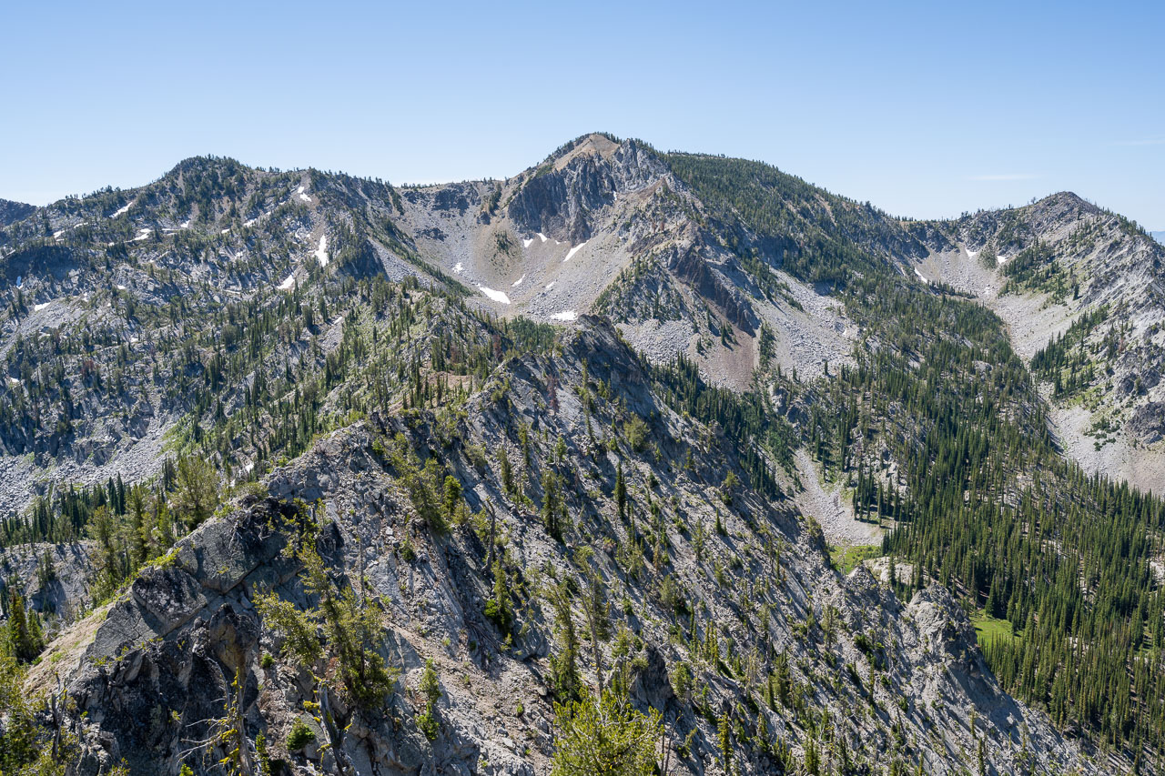
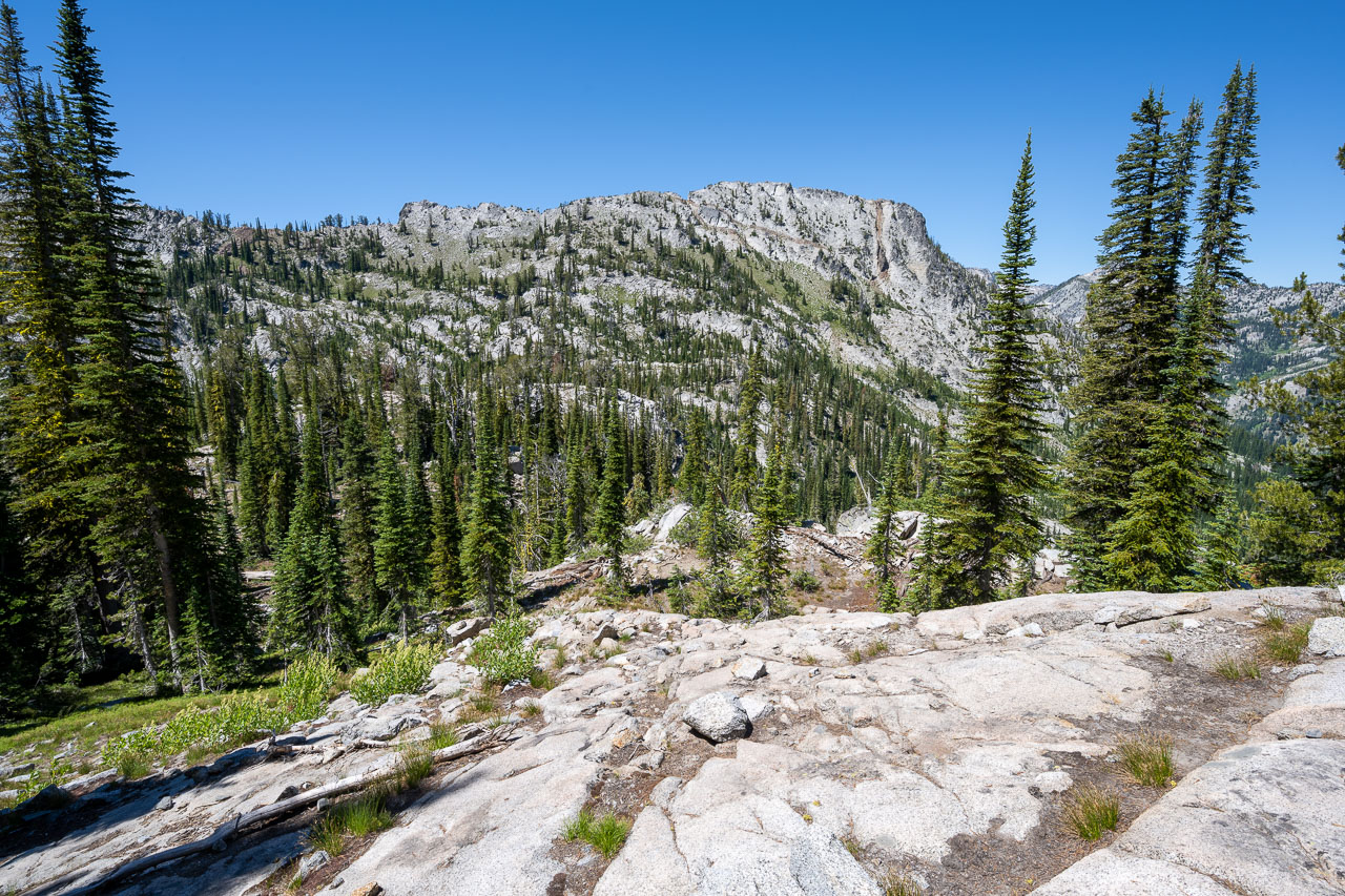
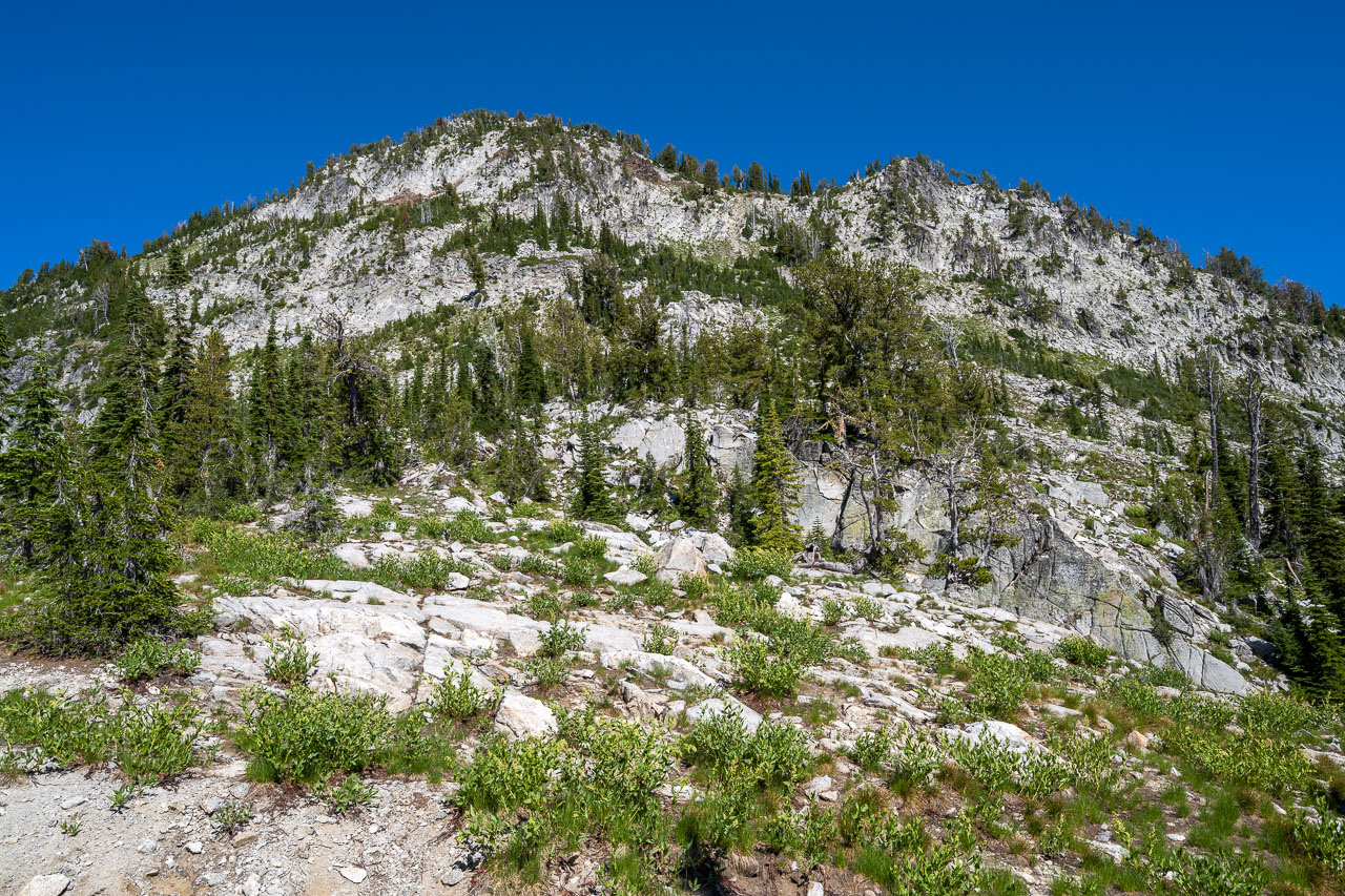
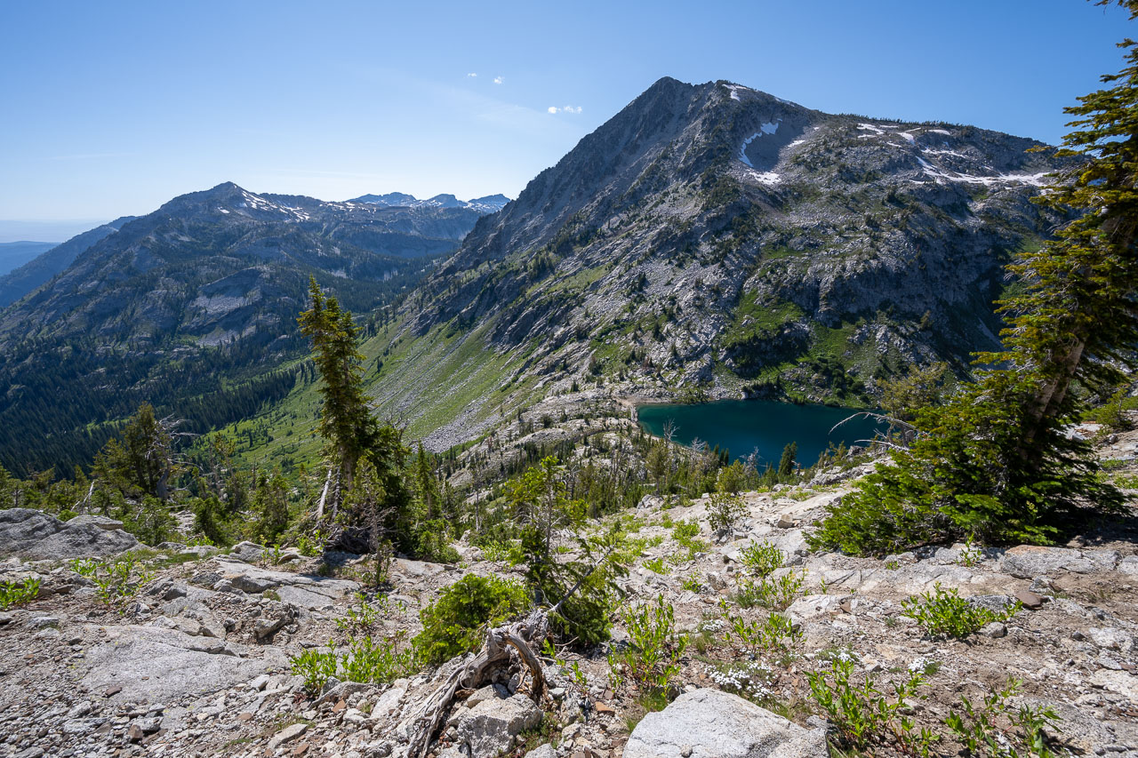
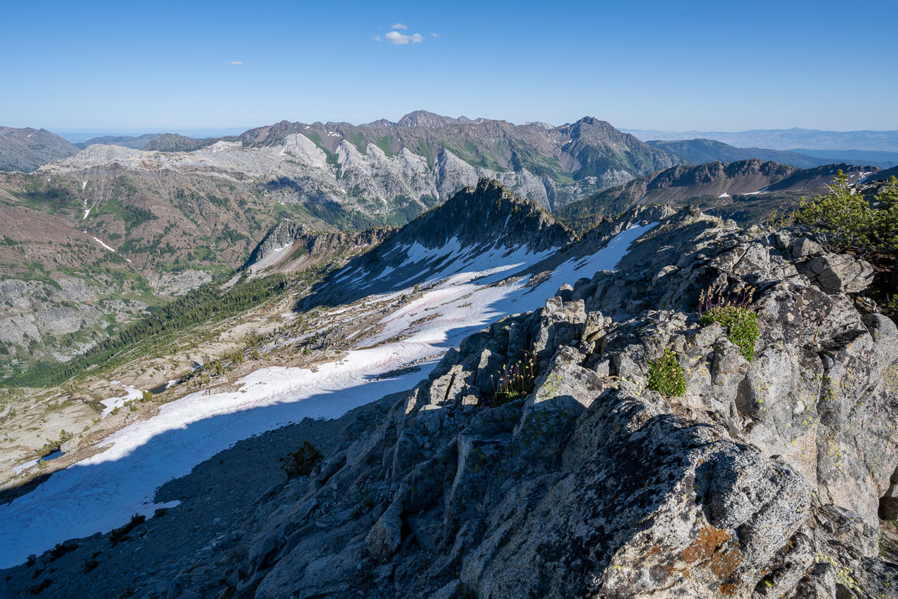
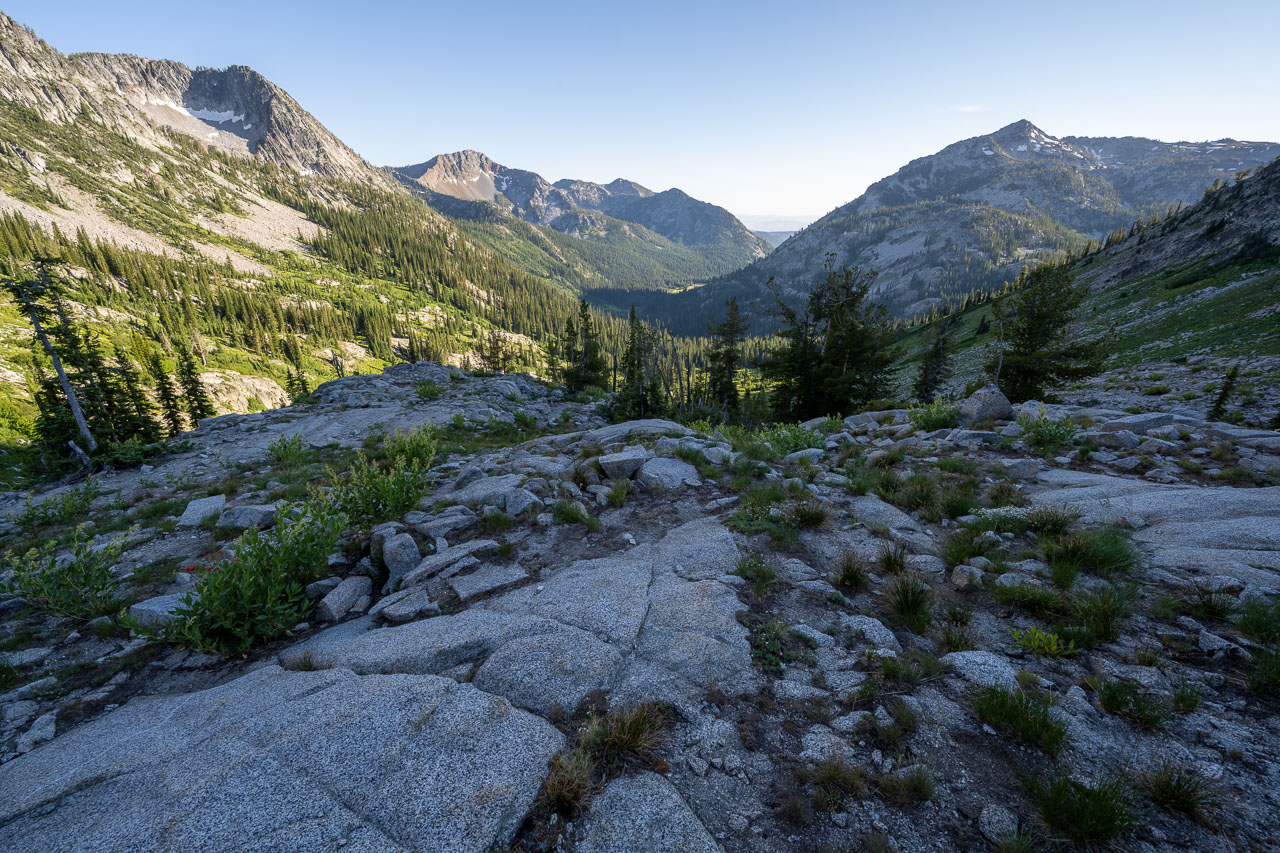
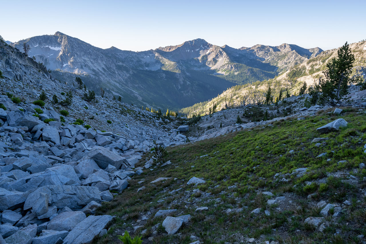
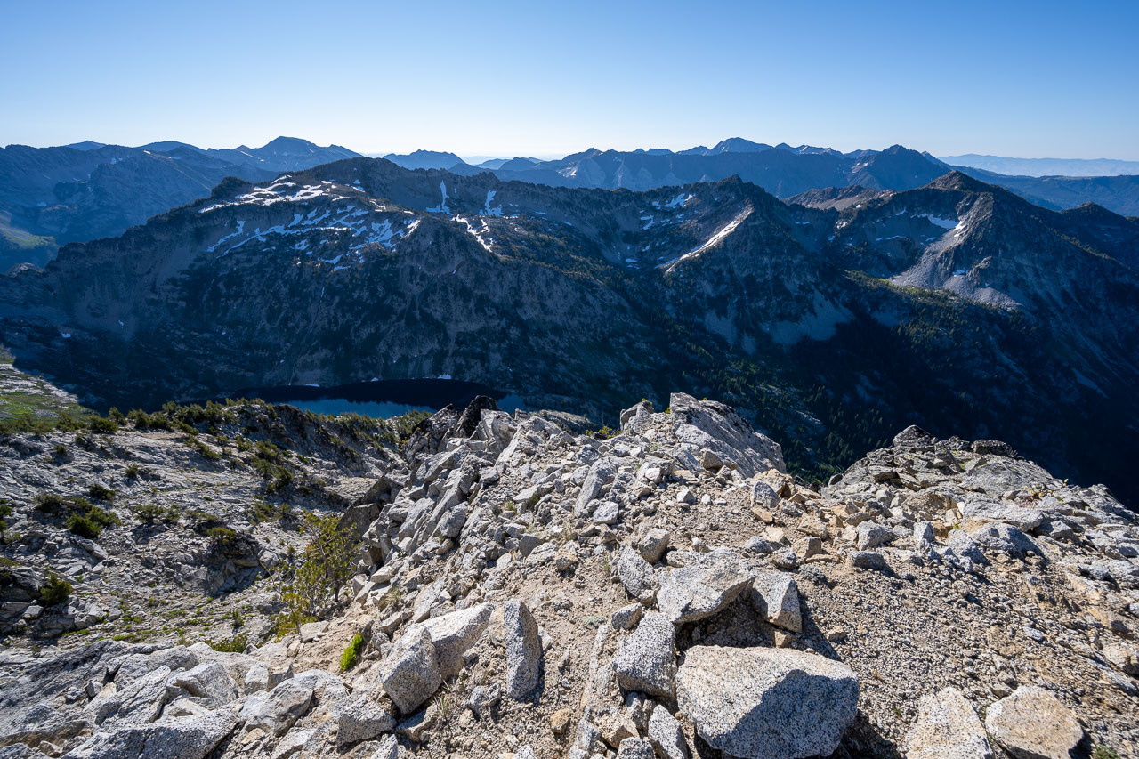
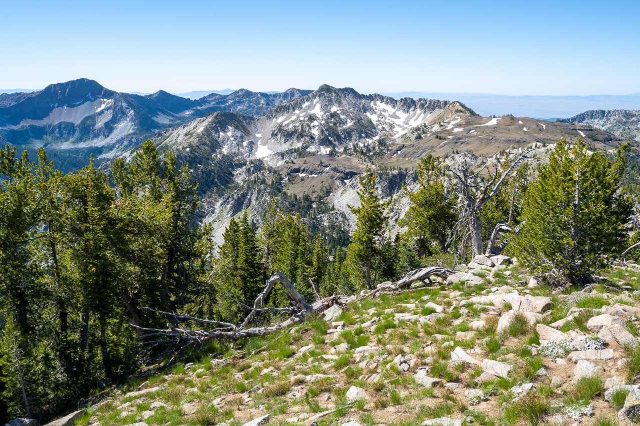
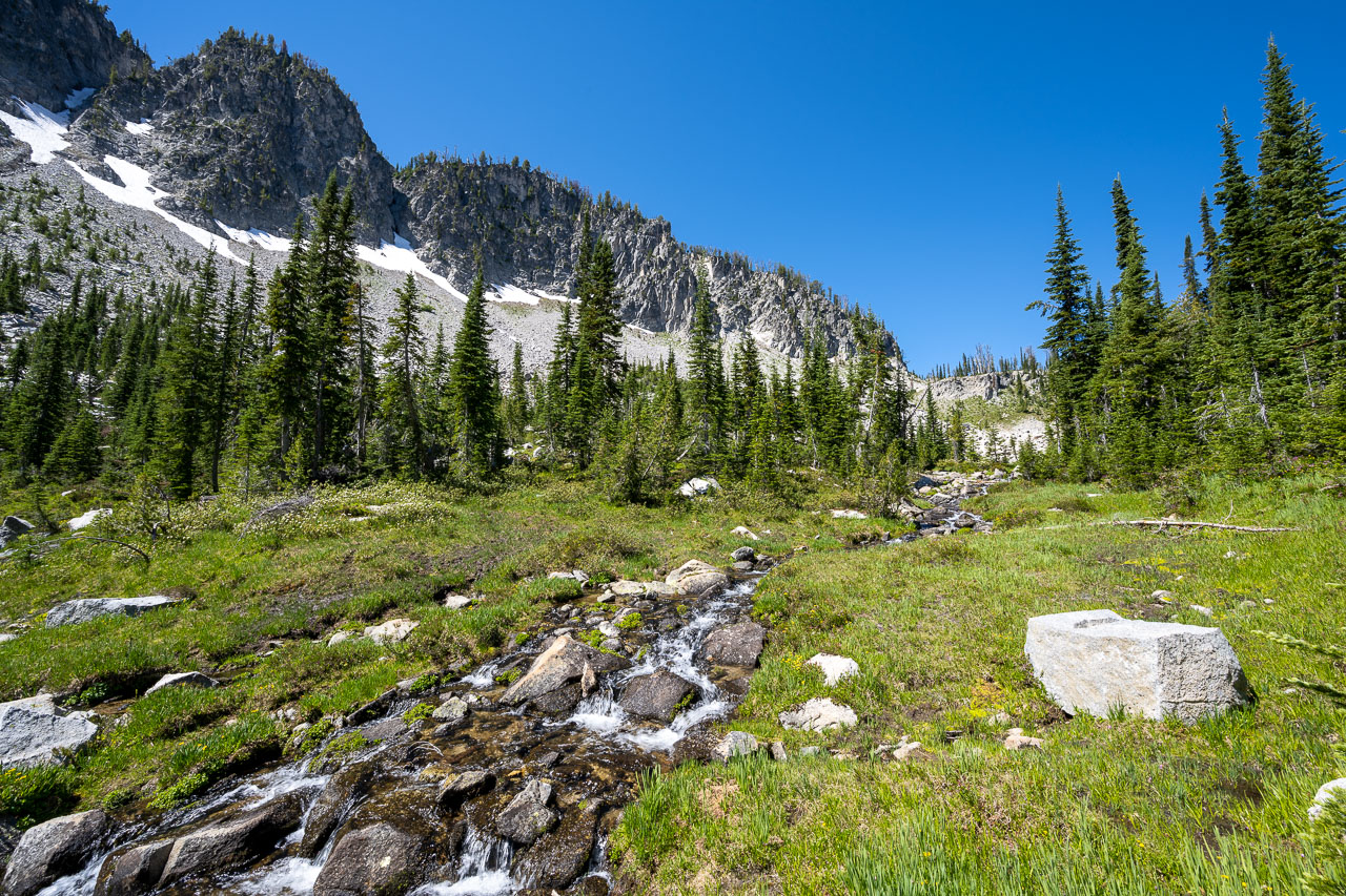
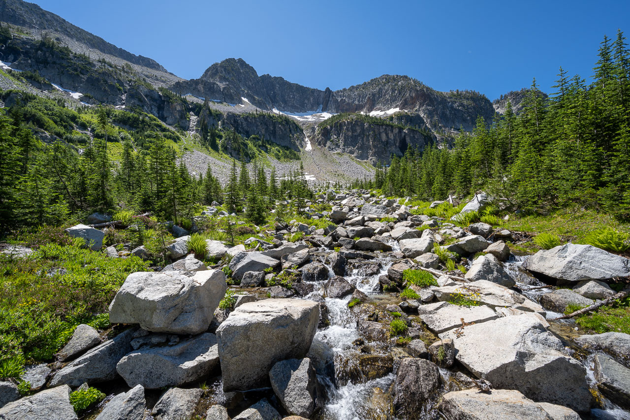
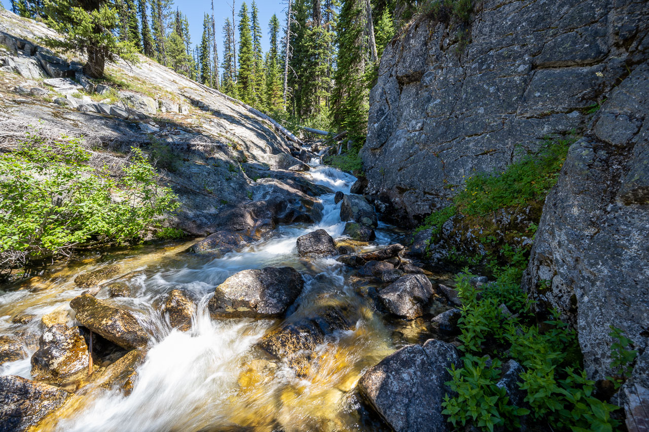
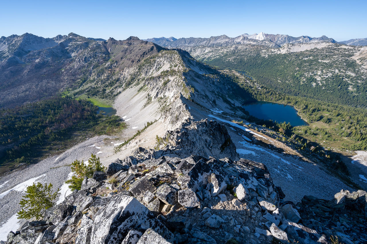
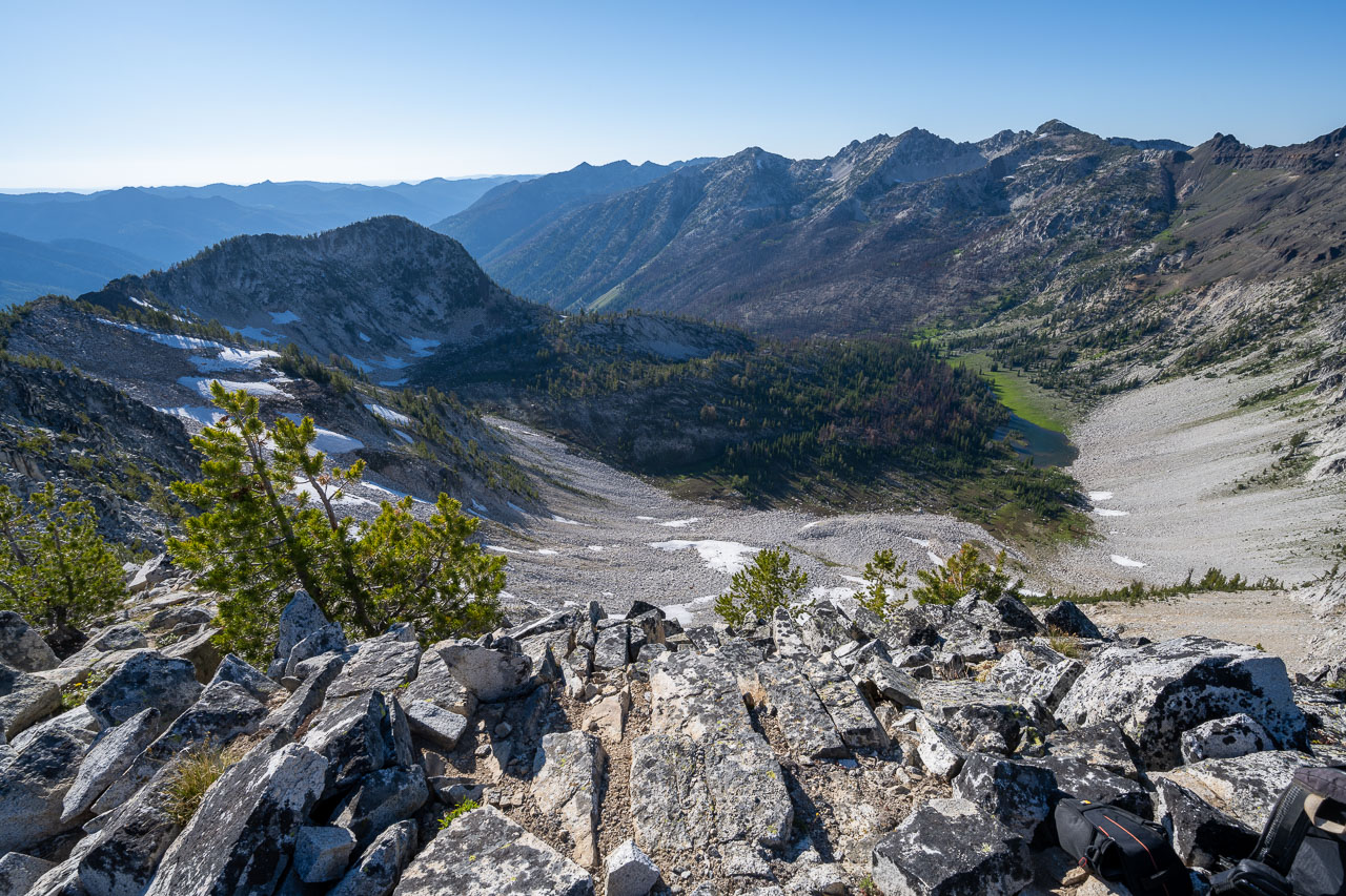
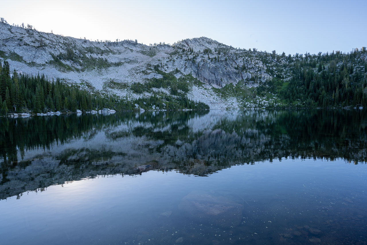
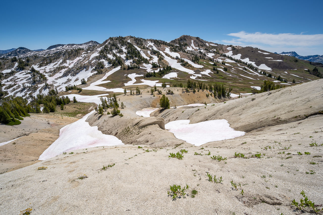
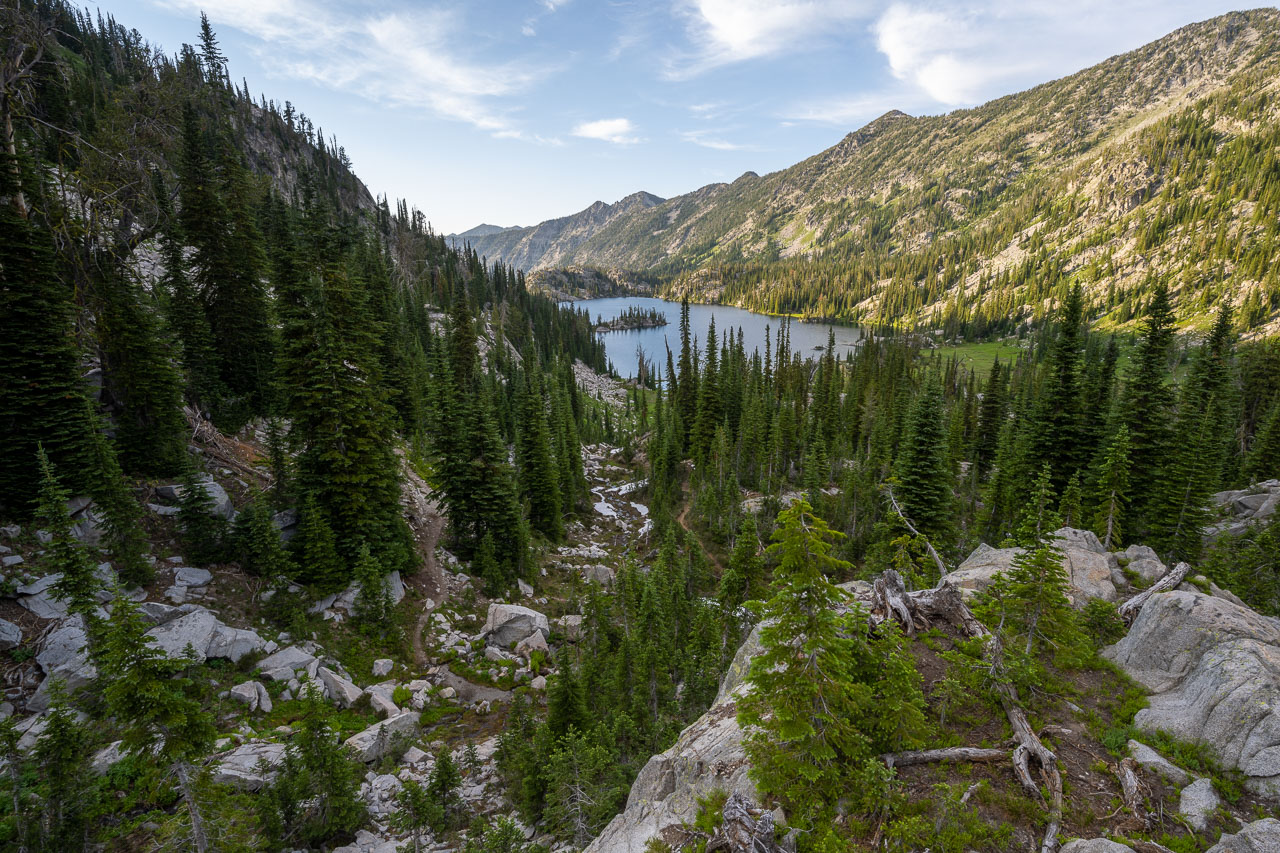
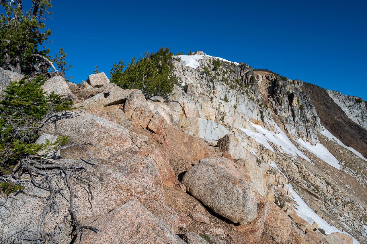
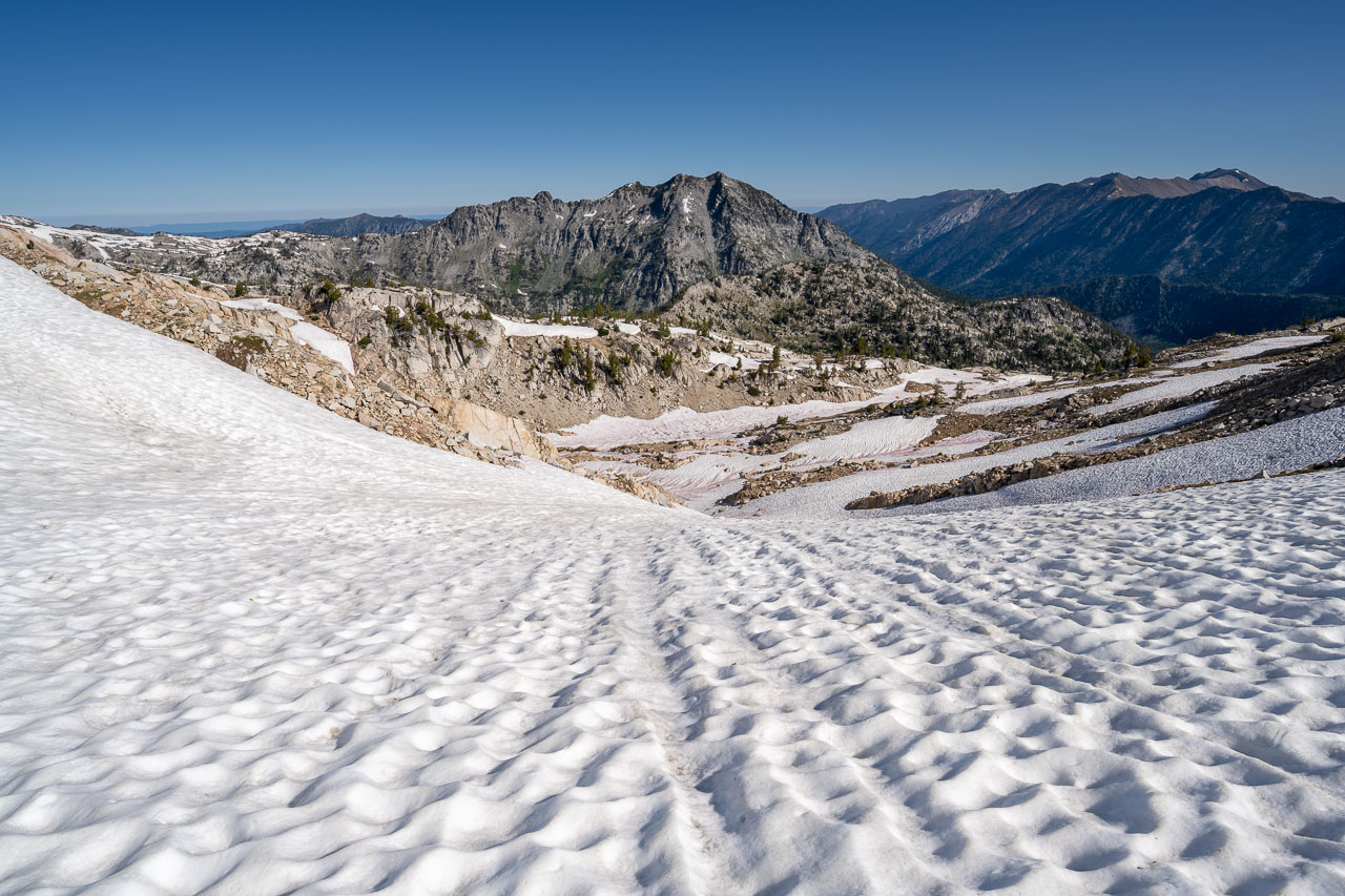
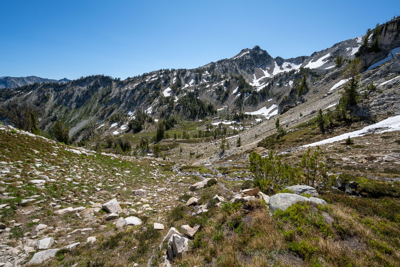
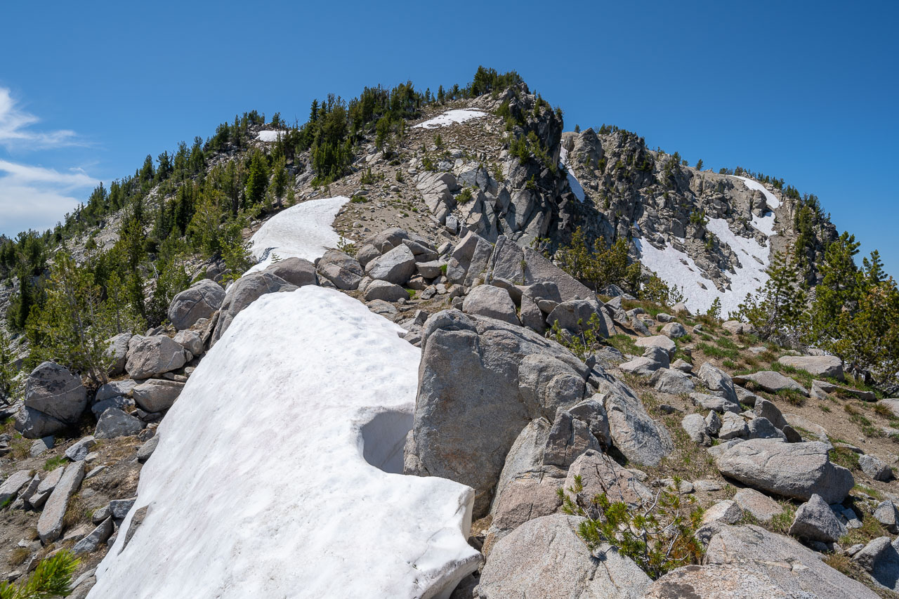
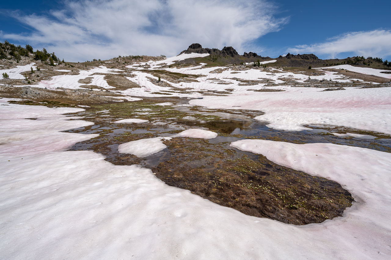
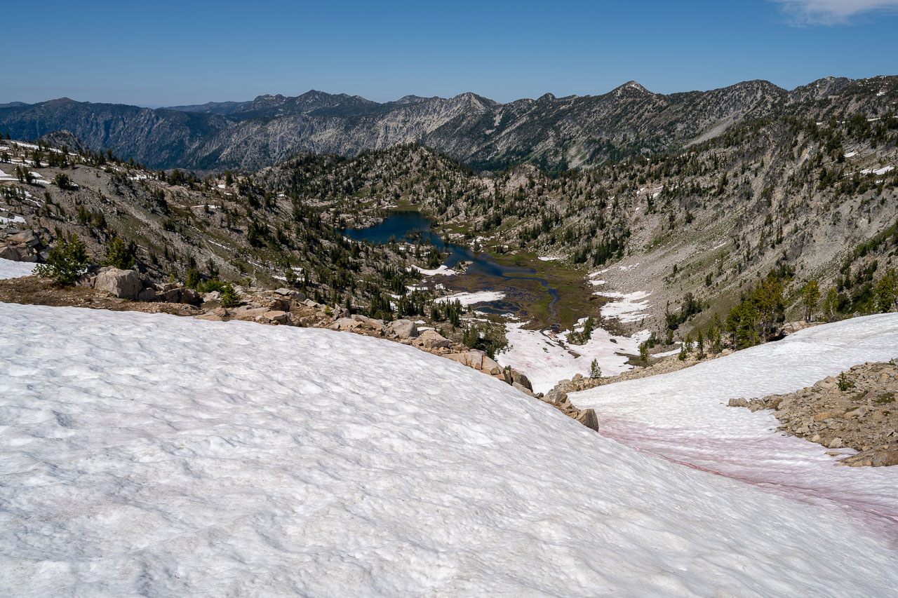
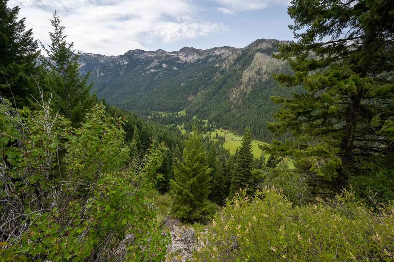
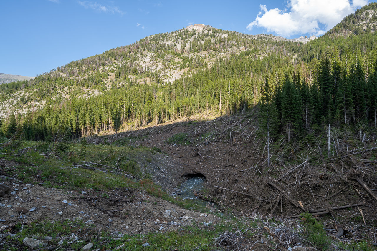
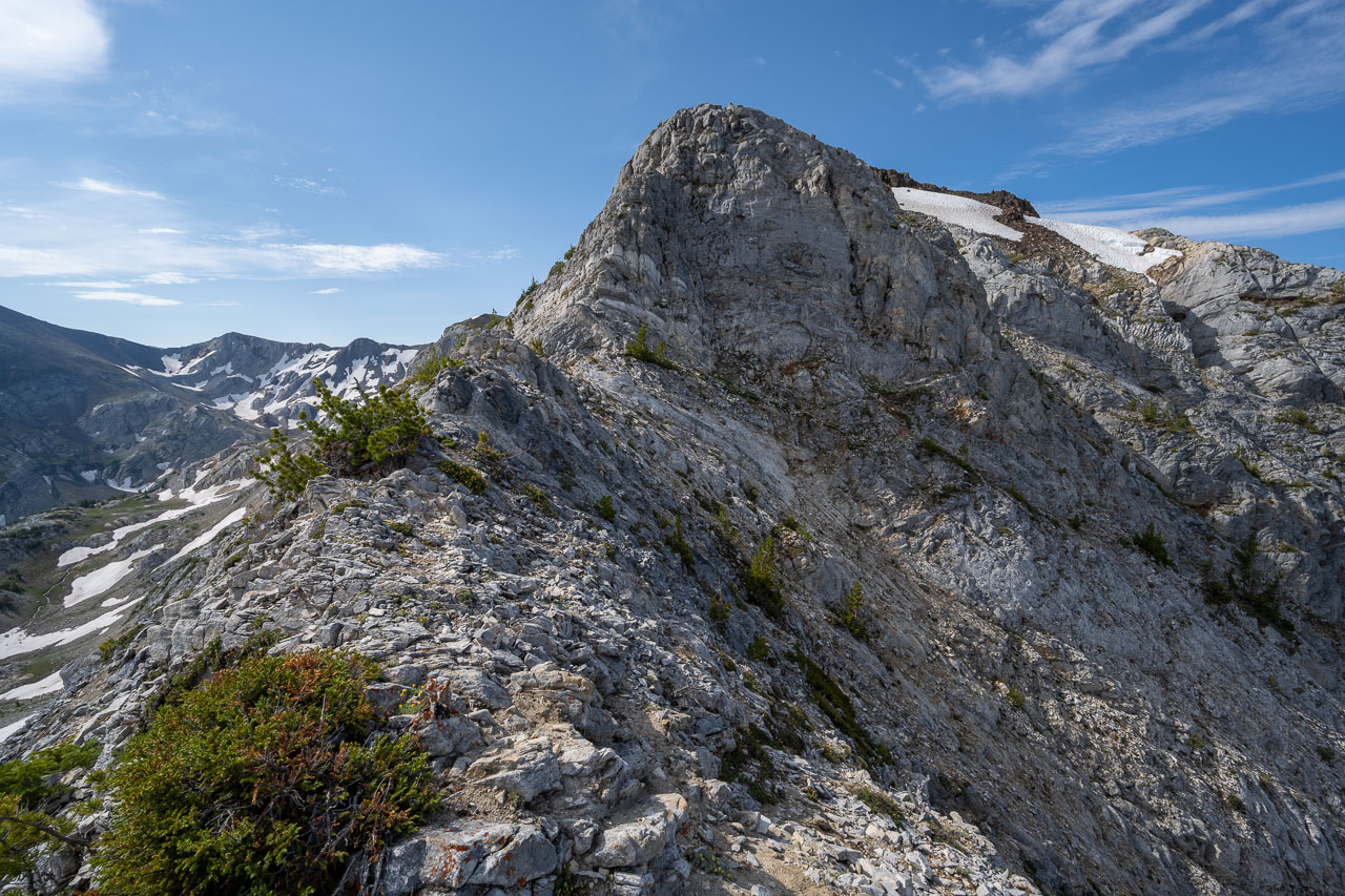
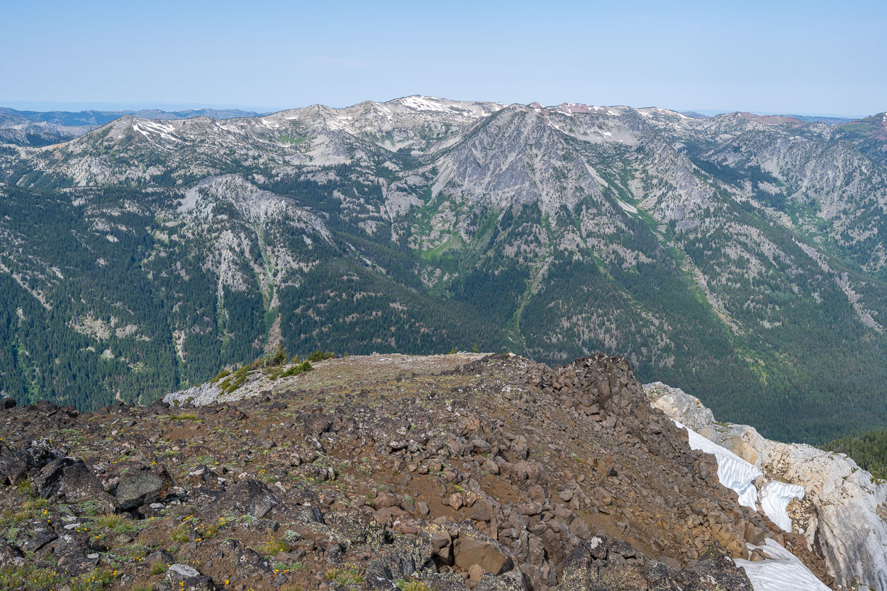
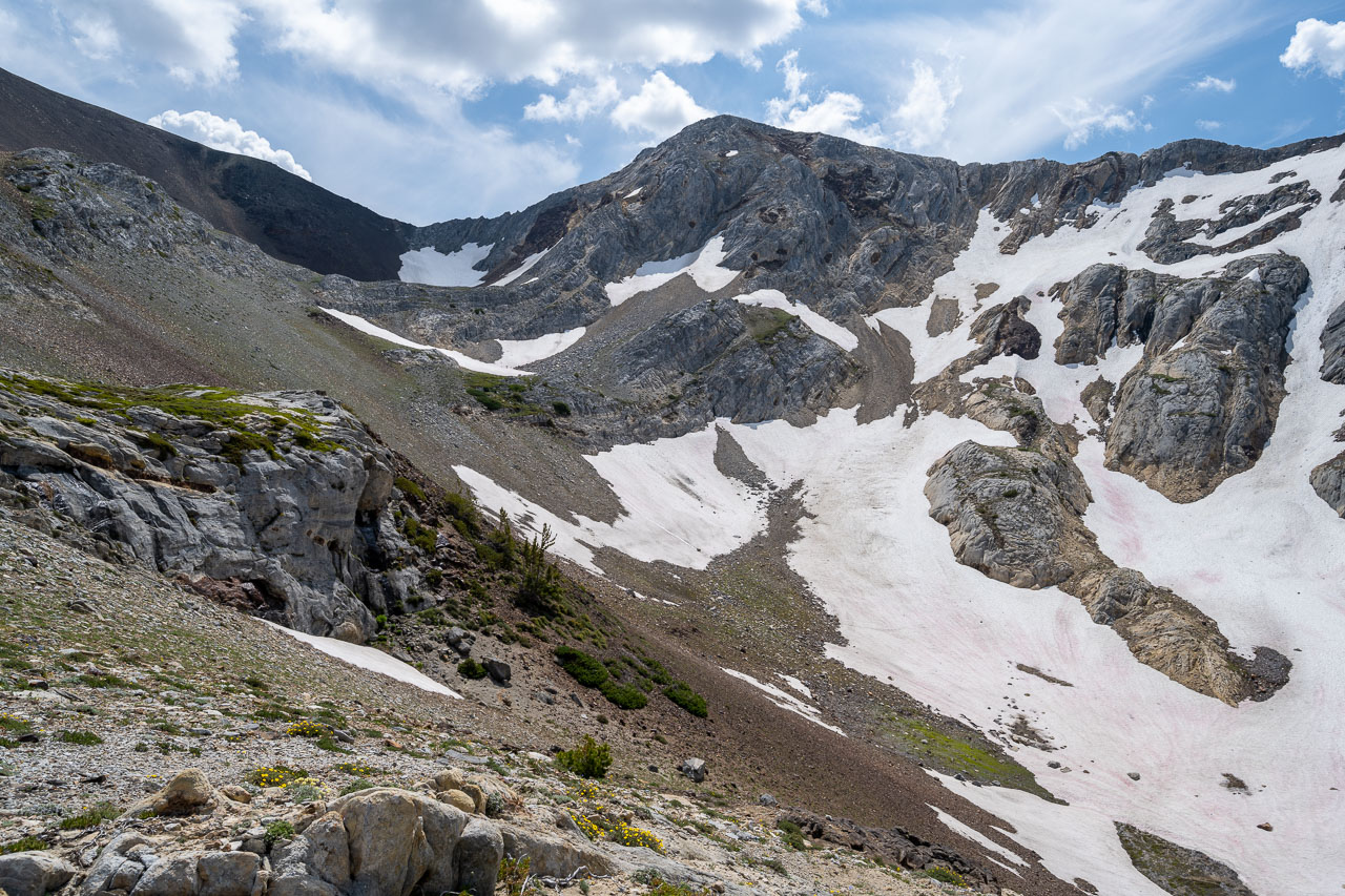
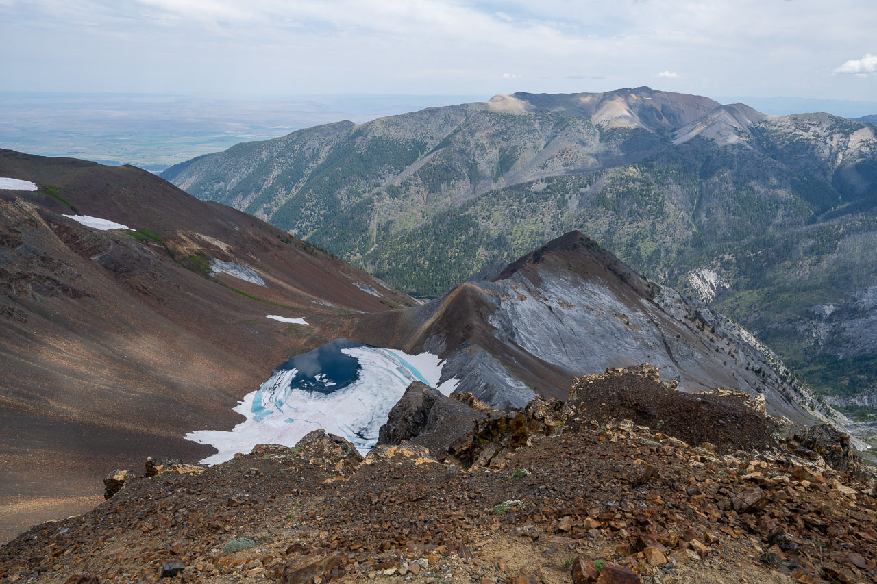
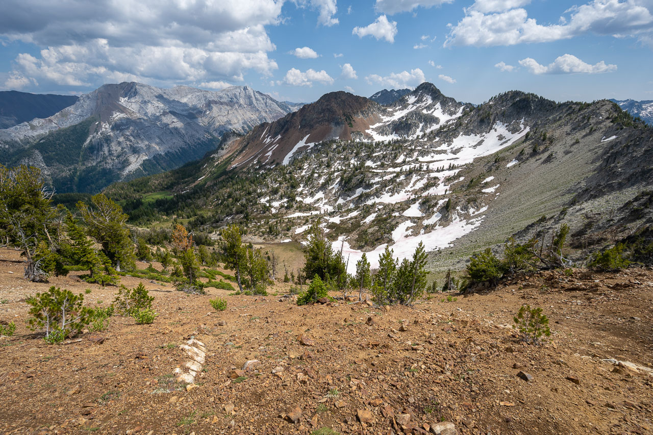
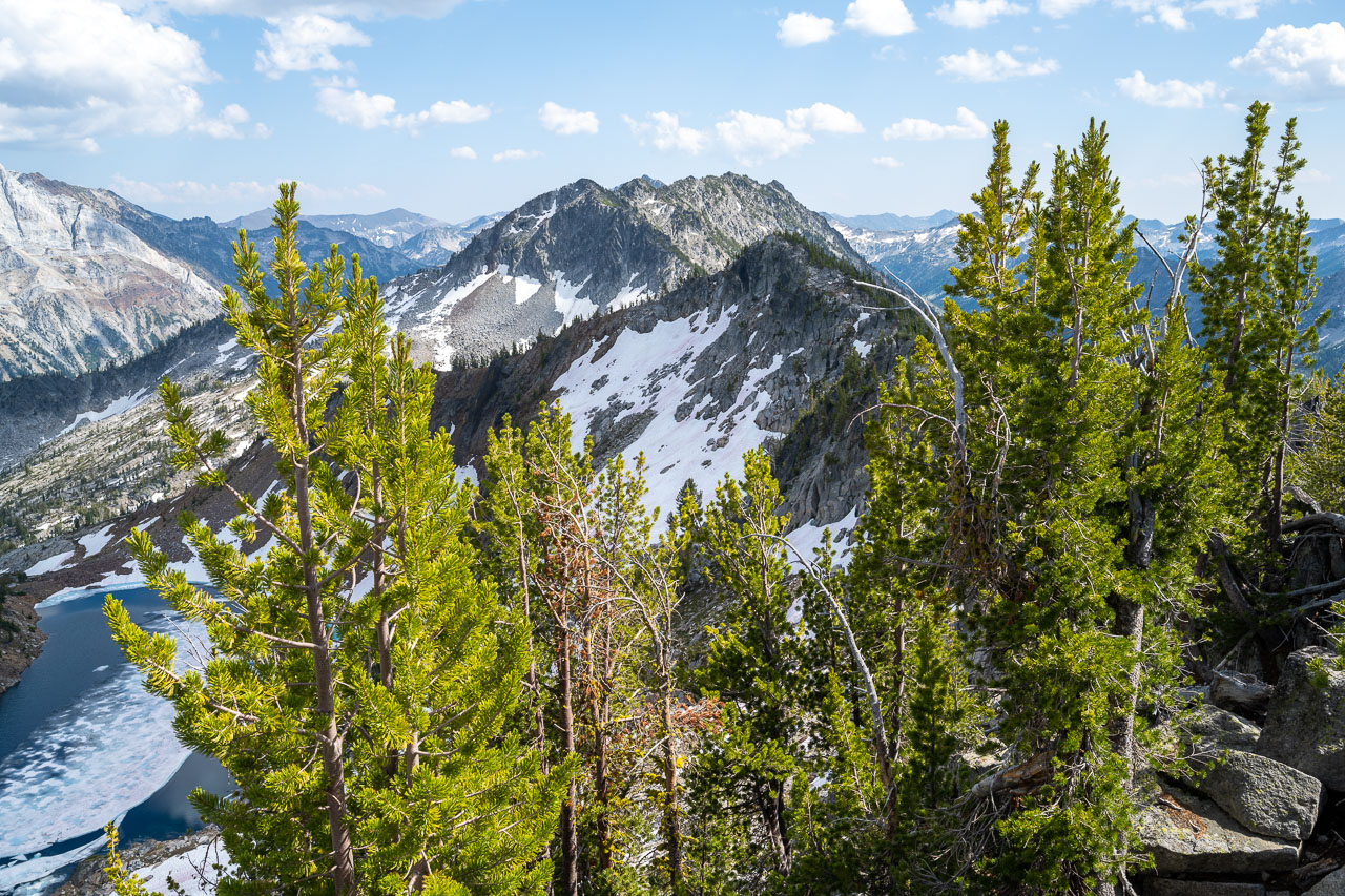
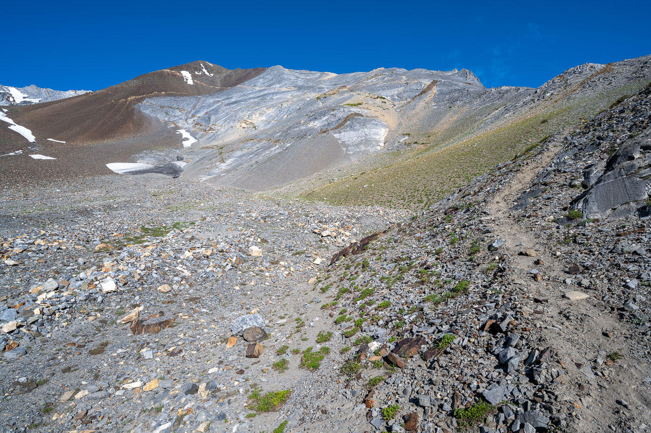
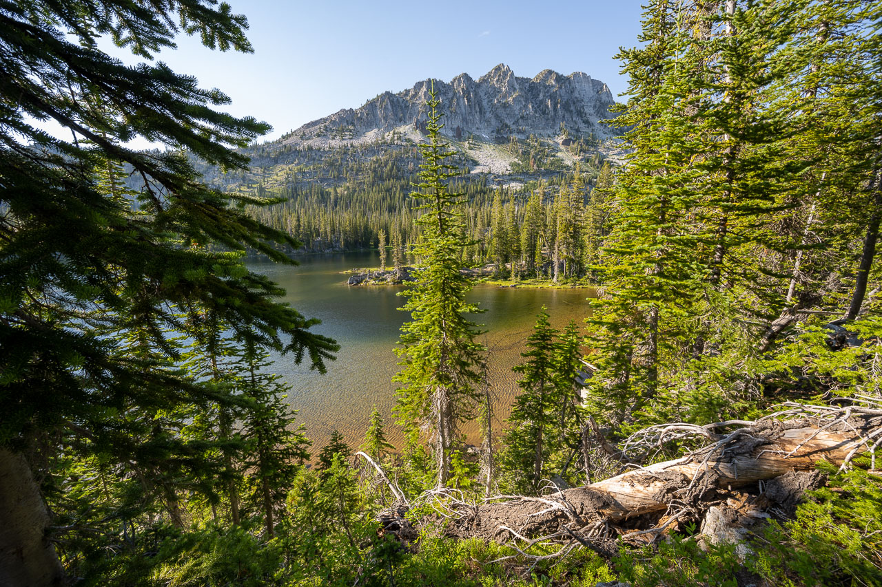
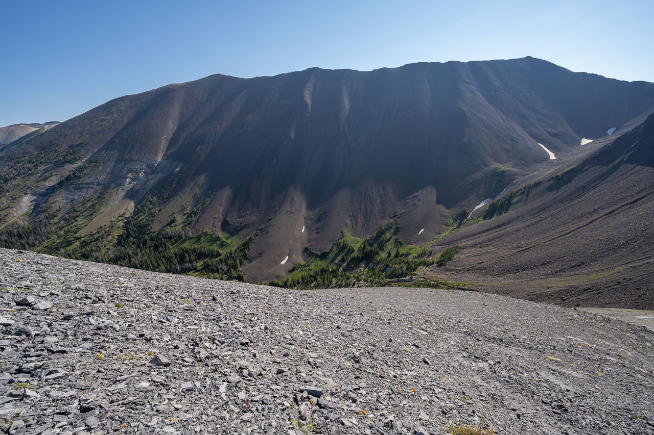
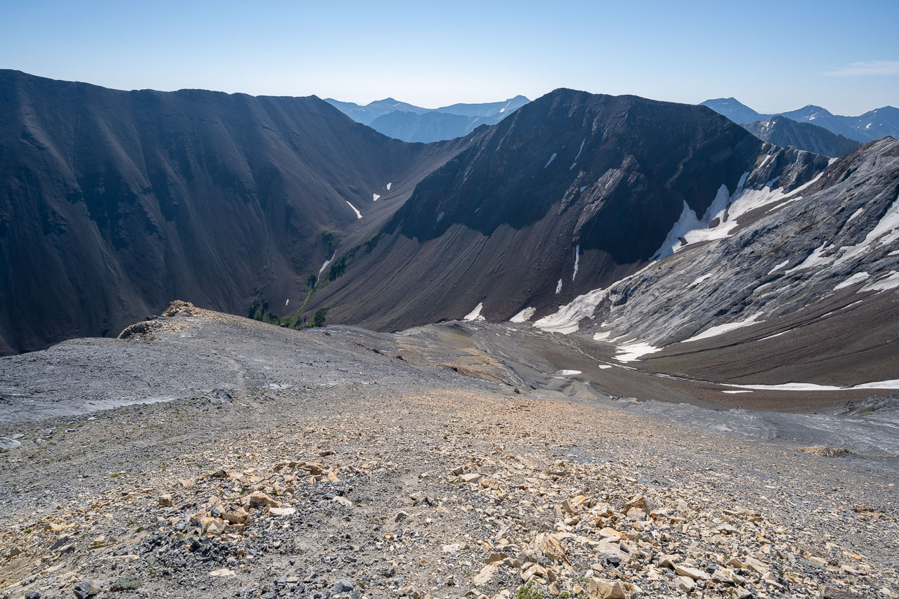
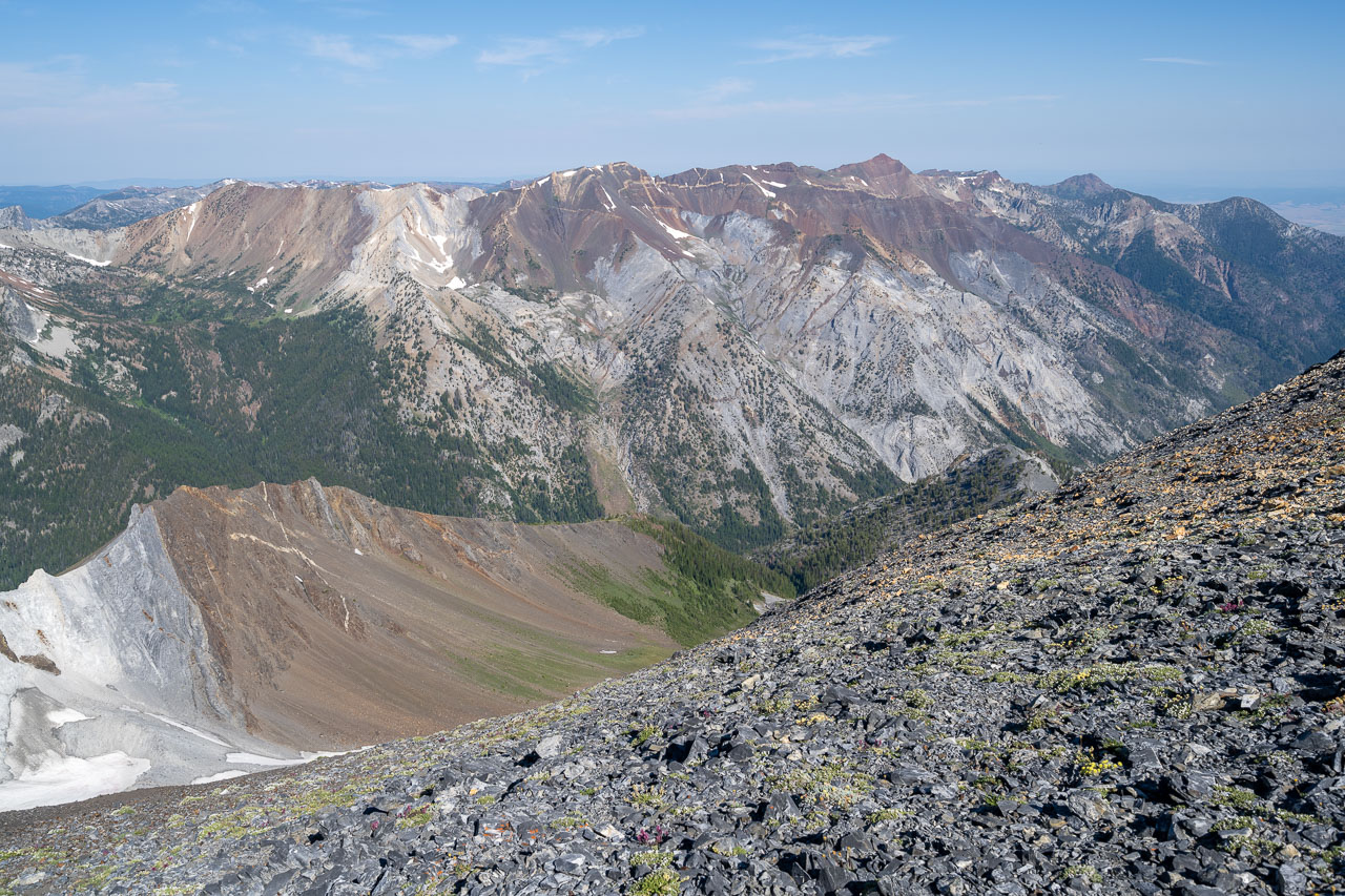
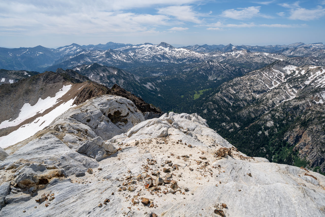
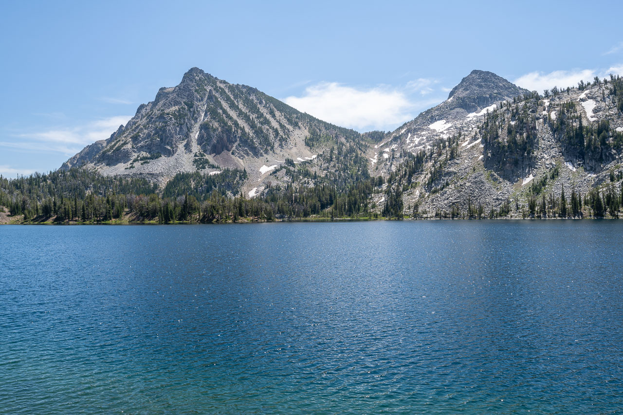
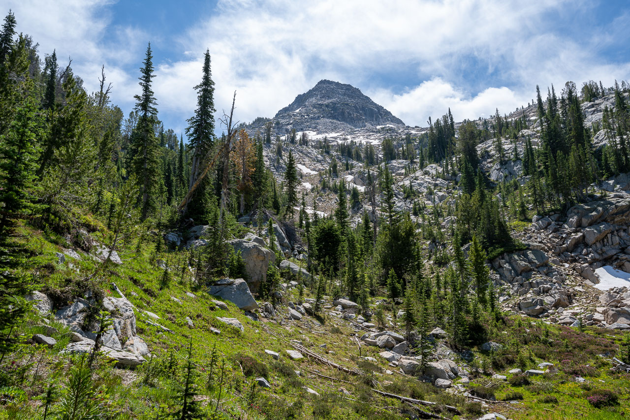
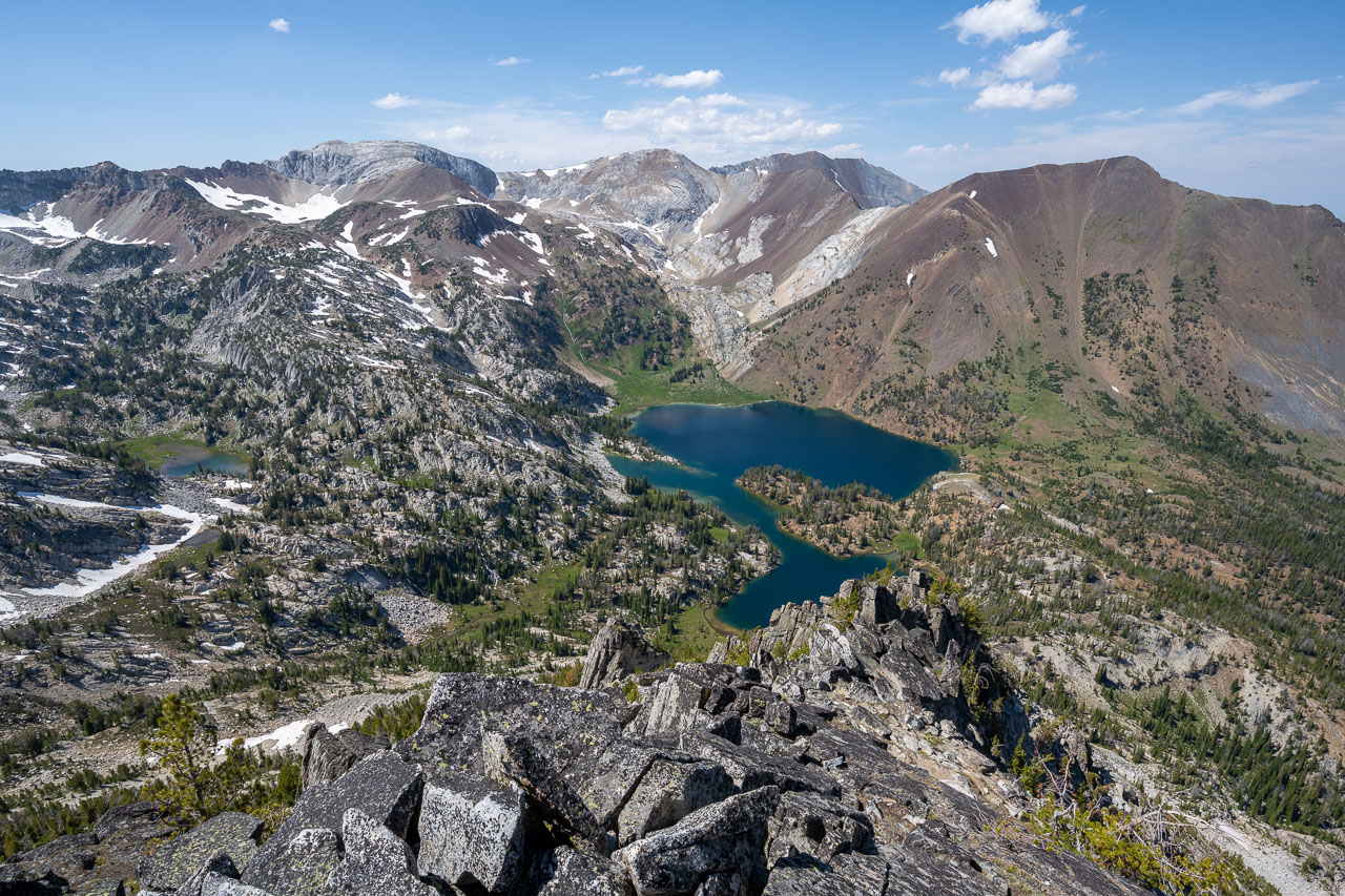
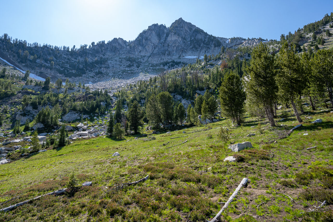
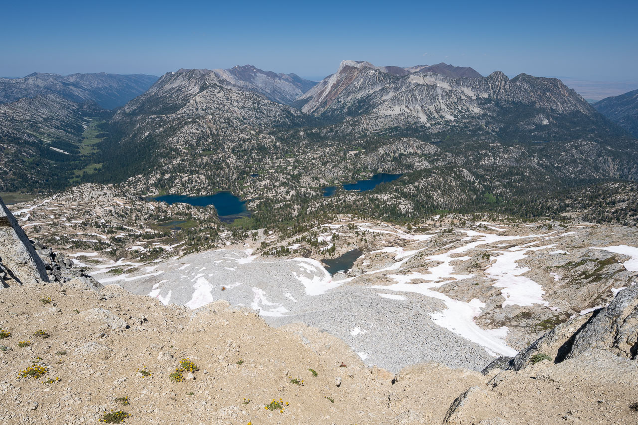
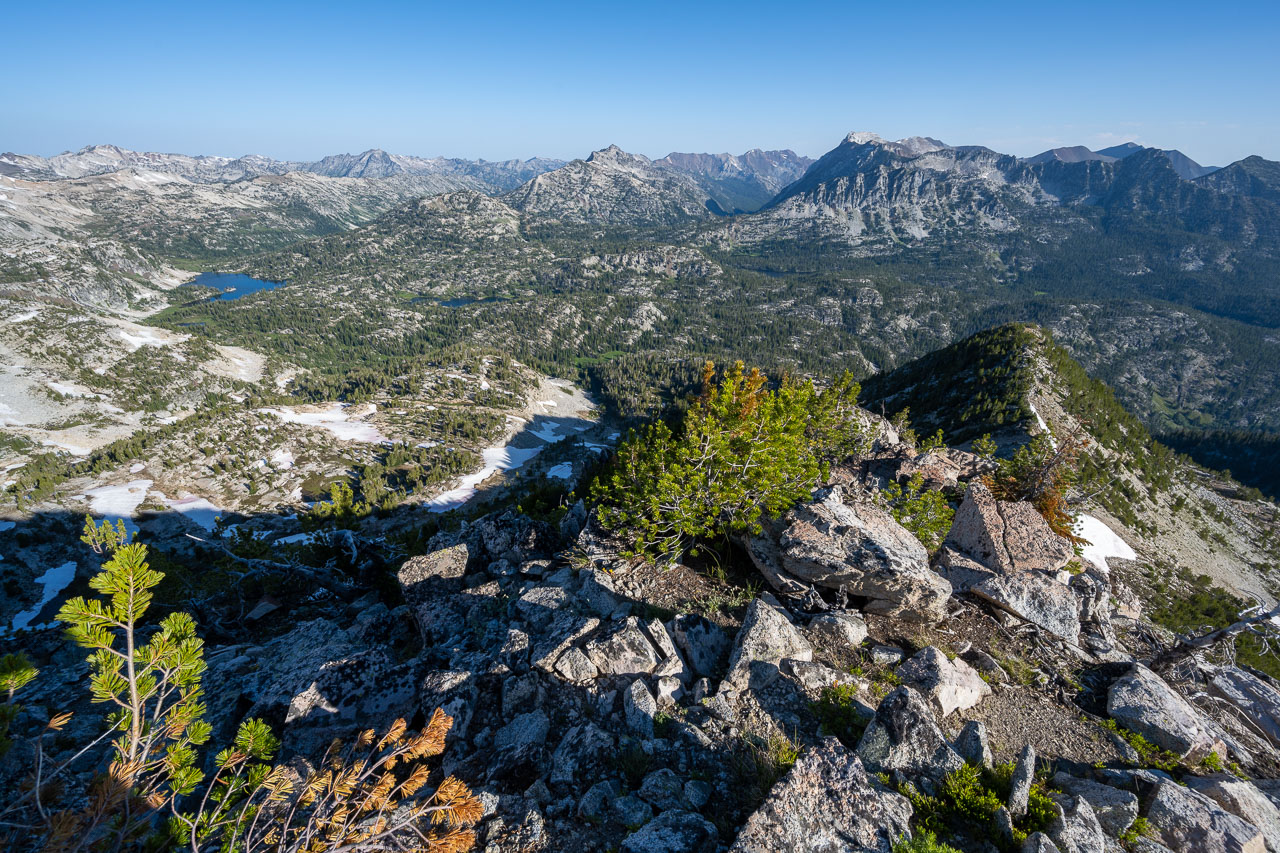
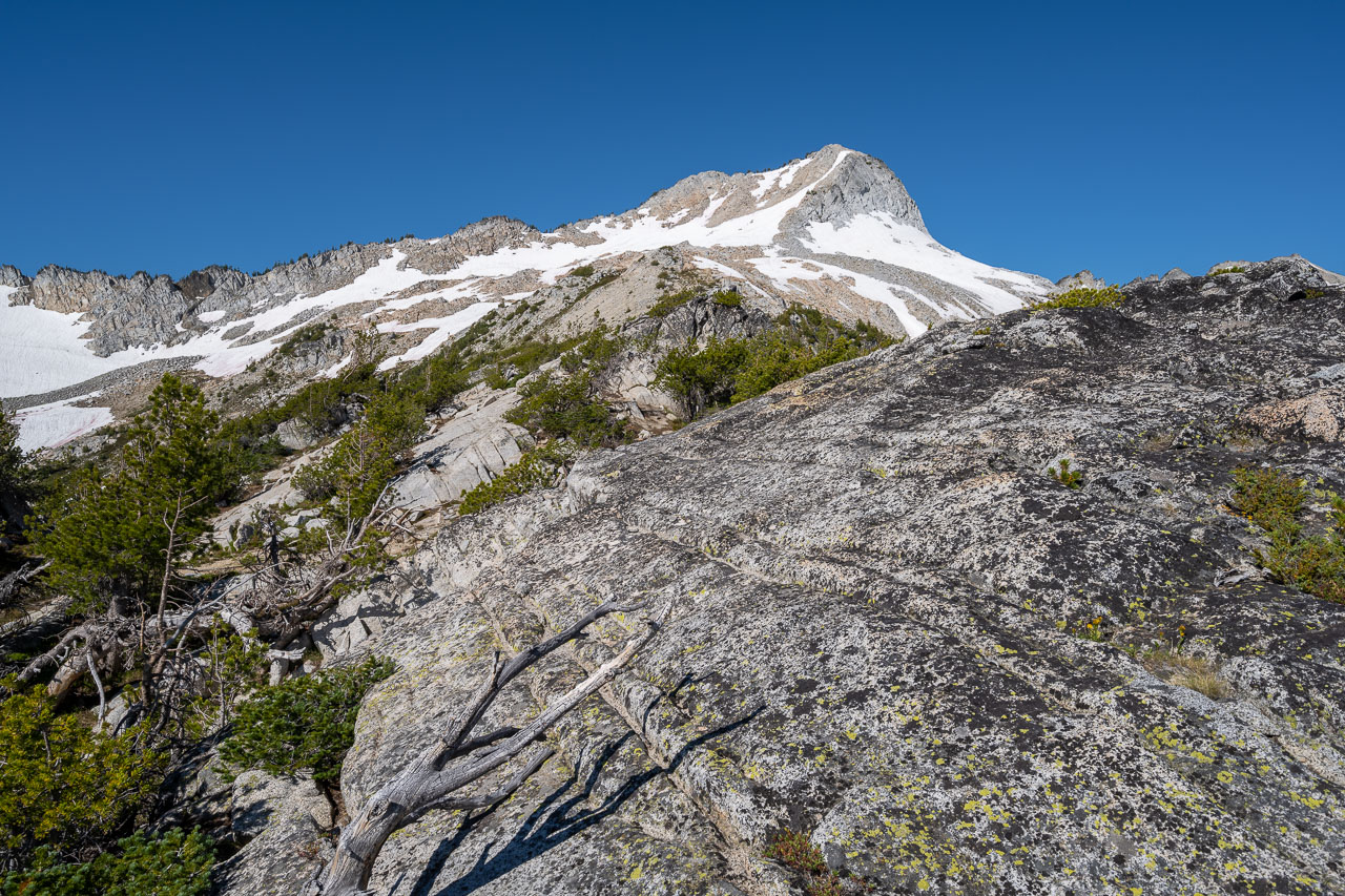
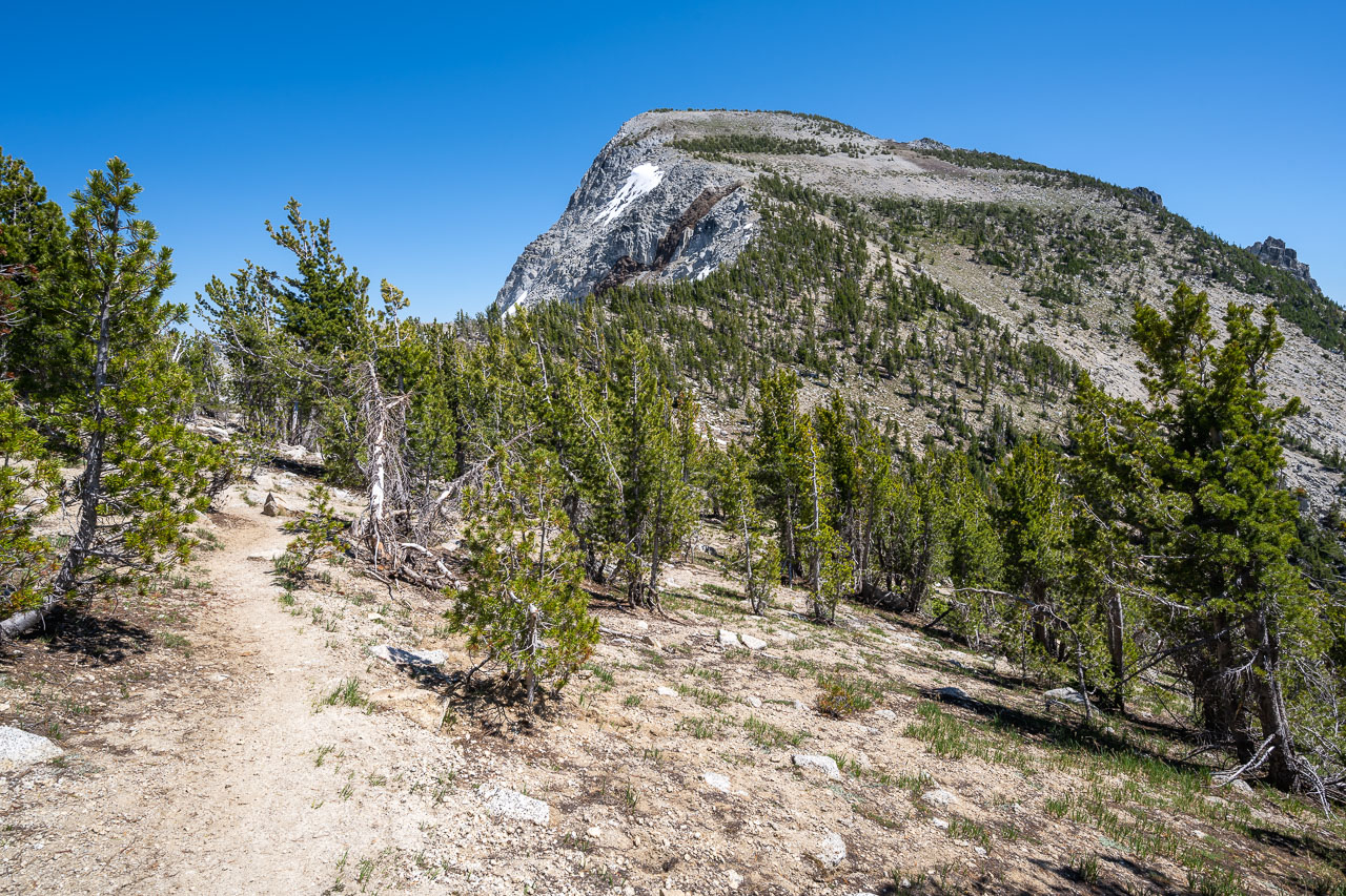
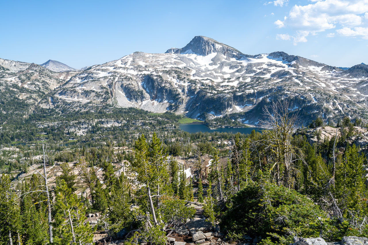
I followed an old road up the hillside, eventually crossing Gold King Creek and arriving at a mining claim perched on the side of the mountain. I looked briefly for a trail before deciding it would be easier to cut straight up the mountain. This worked out well. The fire had burned most of the undergrowth, and there was minimal deadfall on the ground. I followed the ridge until I eventually intersected an OHV road that led toward the first unnamed peak that I was planning to climb. The road led by Two Color Lake, which would have been much more scenic before the fire. Now all that was left were some dead trees around the lake. Fortunately this would be the only section of the trip where I experienced a burn area. The road ended at the lake, and I made the final climb up the open ridge to the summit of Peak 8412. From the summit I could see out to Eagle Lake that I was planning to camp at later that evening. To get there I would need to descend past Lookingglass Lake, and then follow the trail the rest of the way to Eagle Lake.
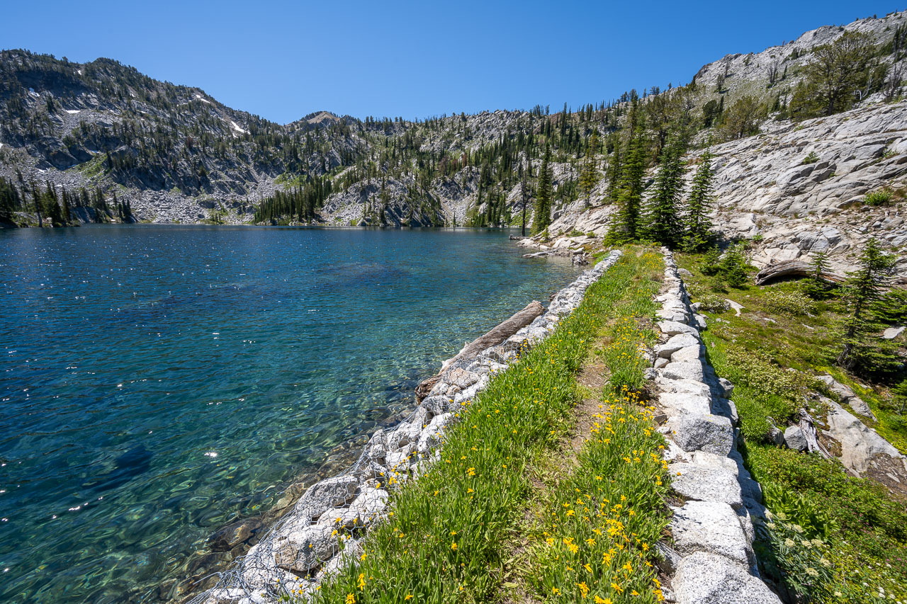
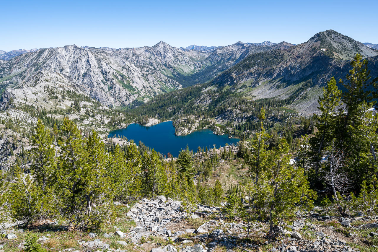
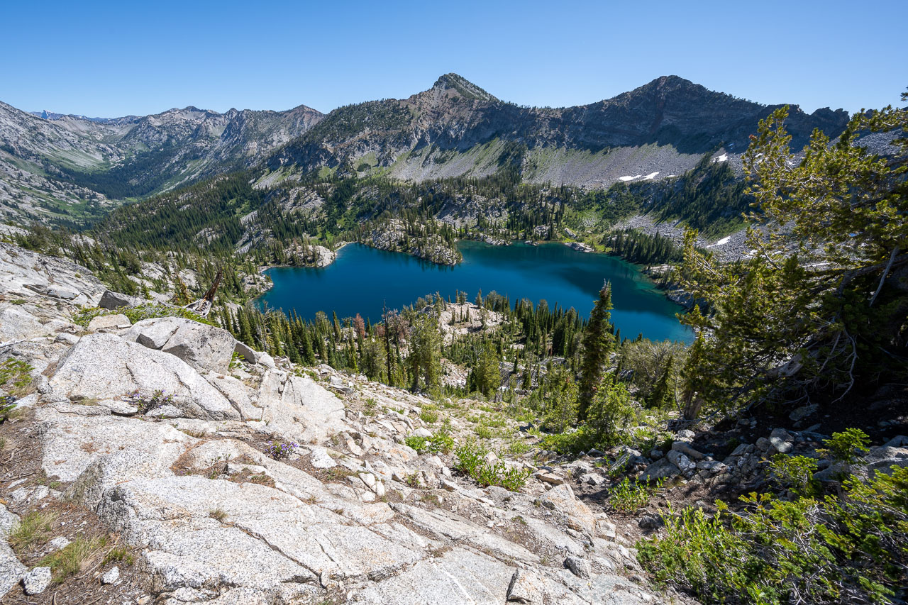
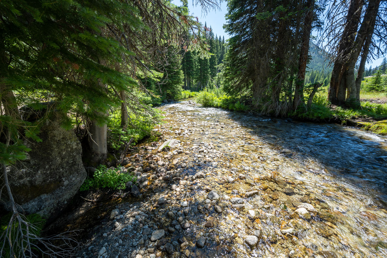
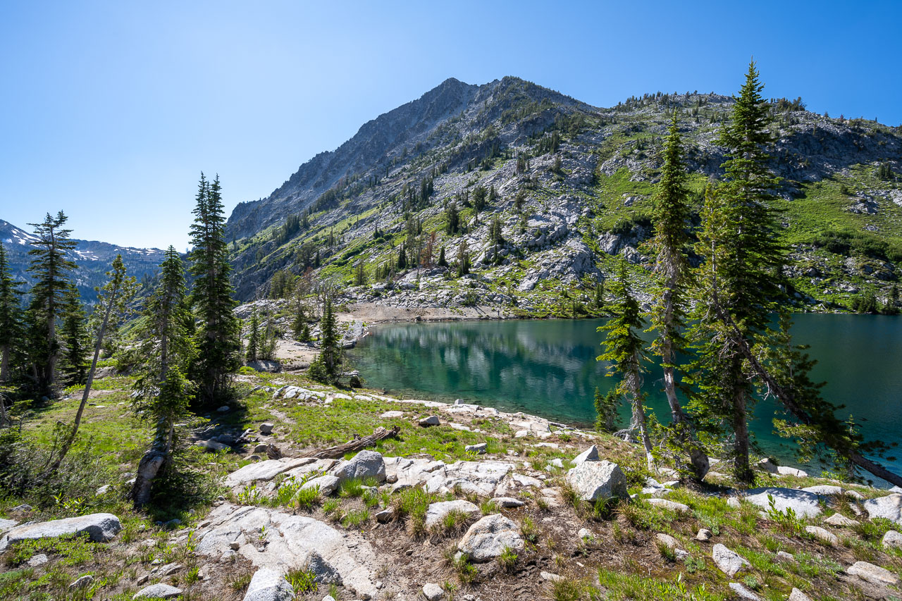
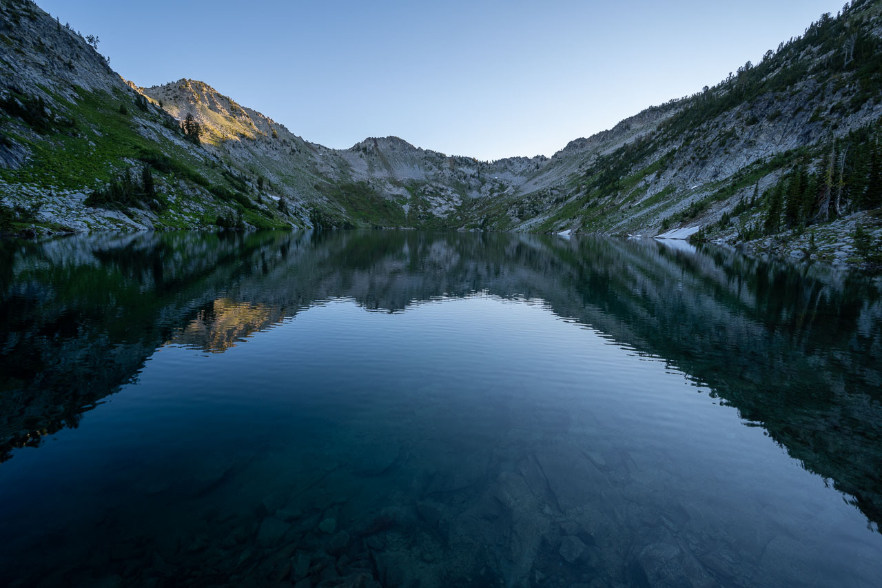
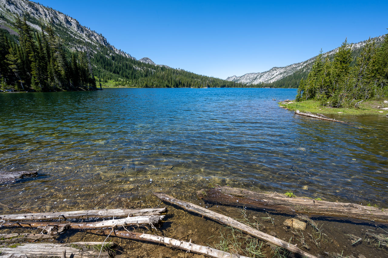
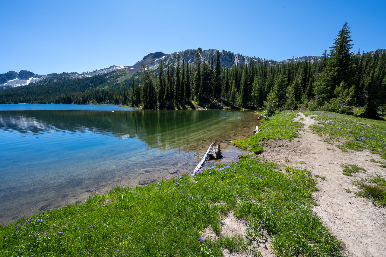
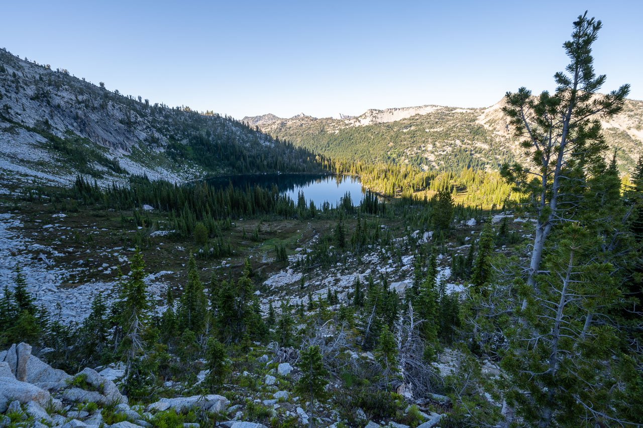
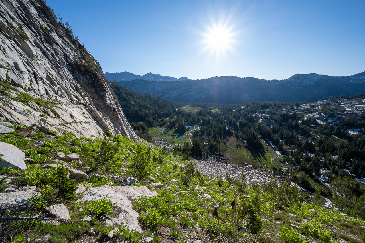
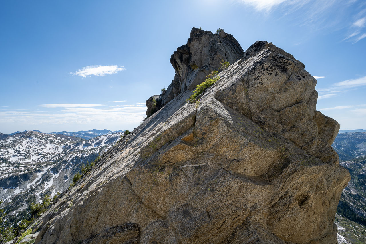
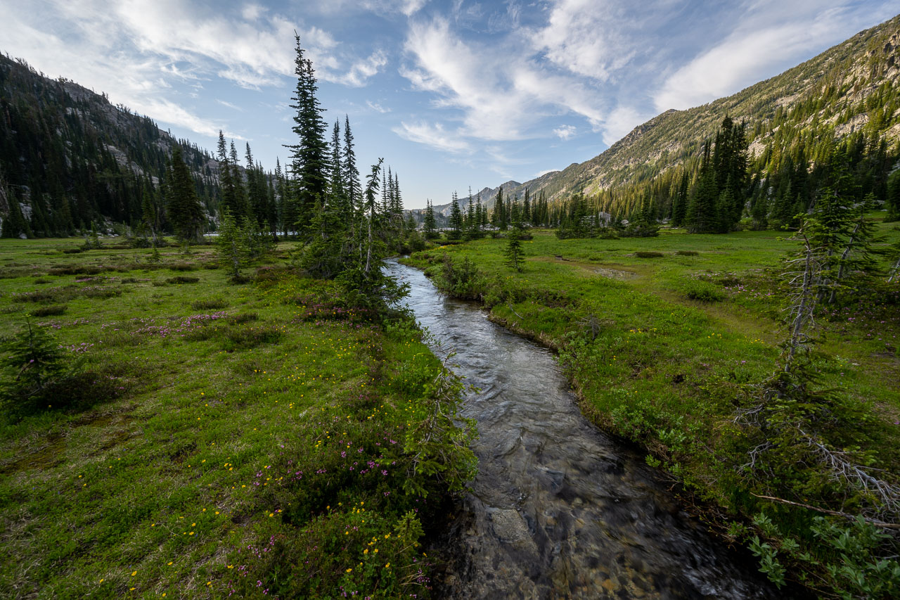
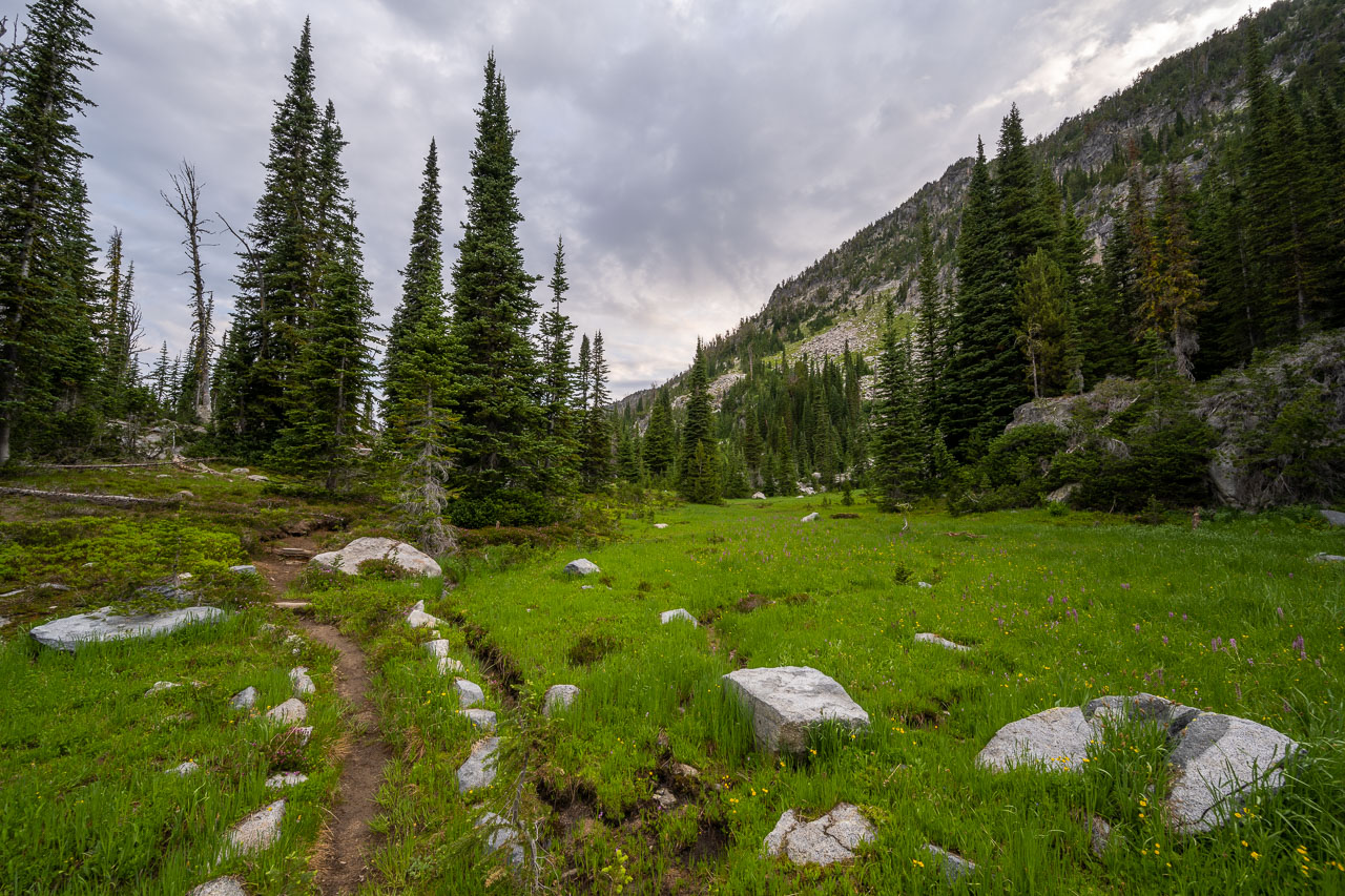
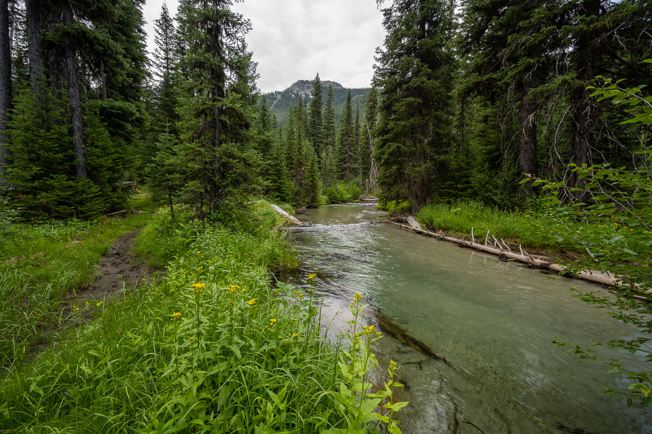
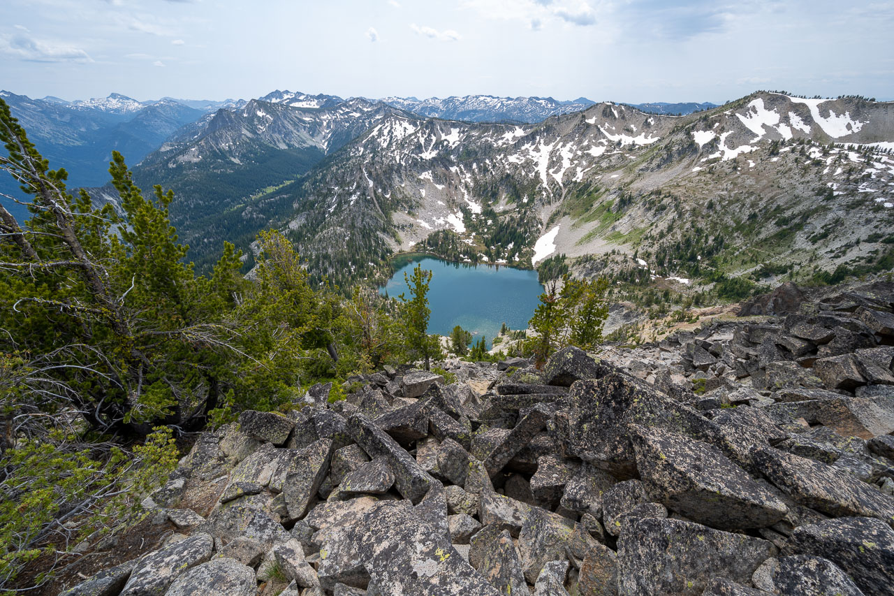
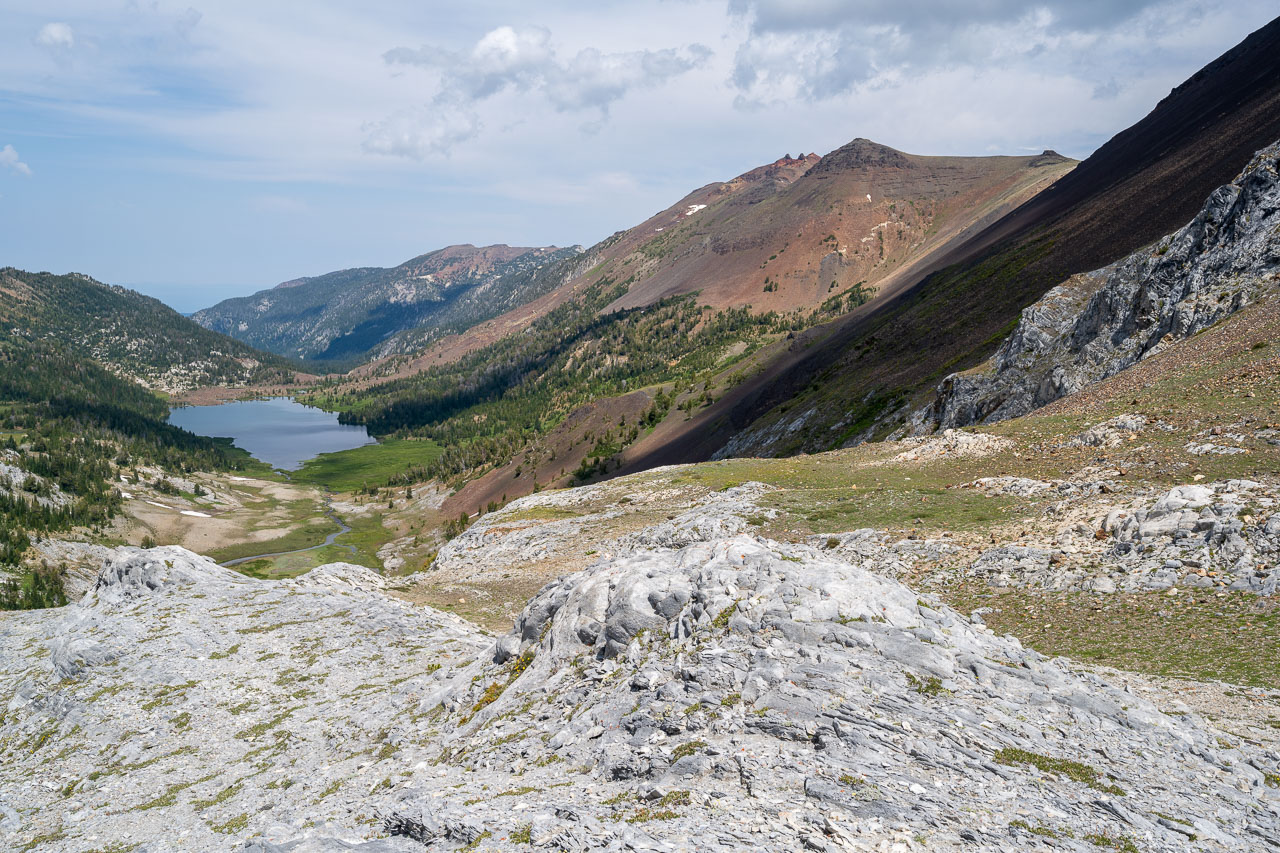
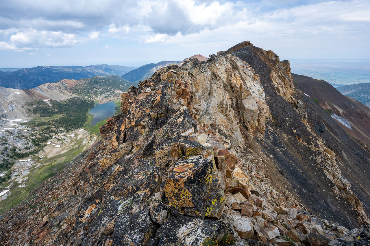
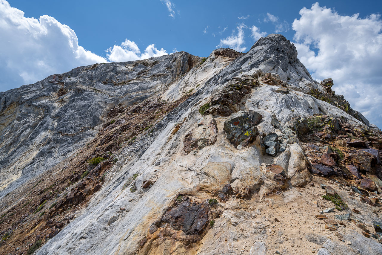
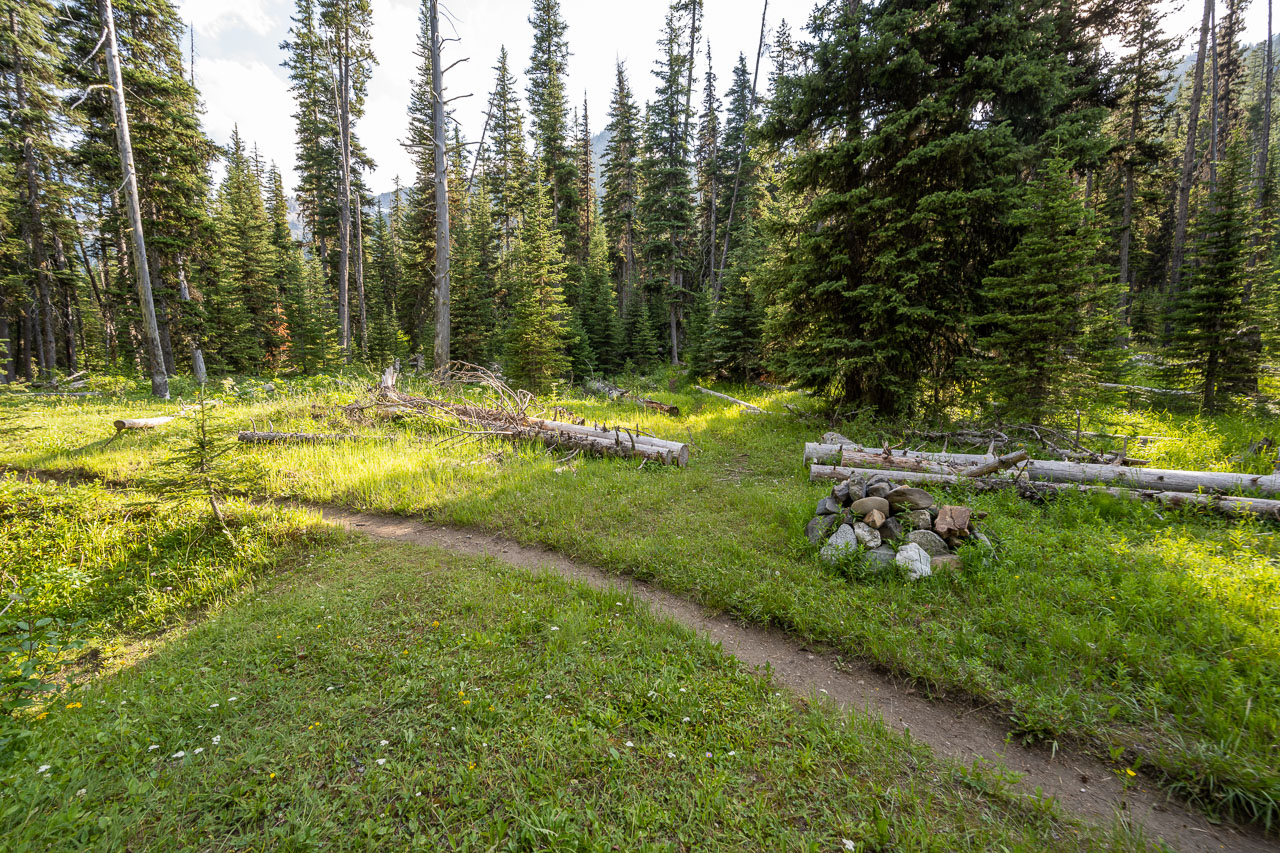
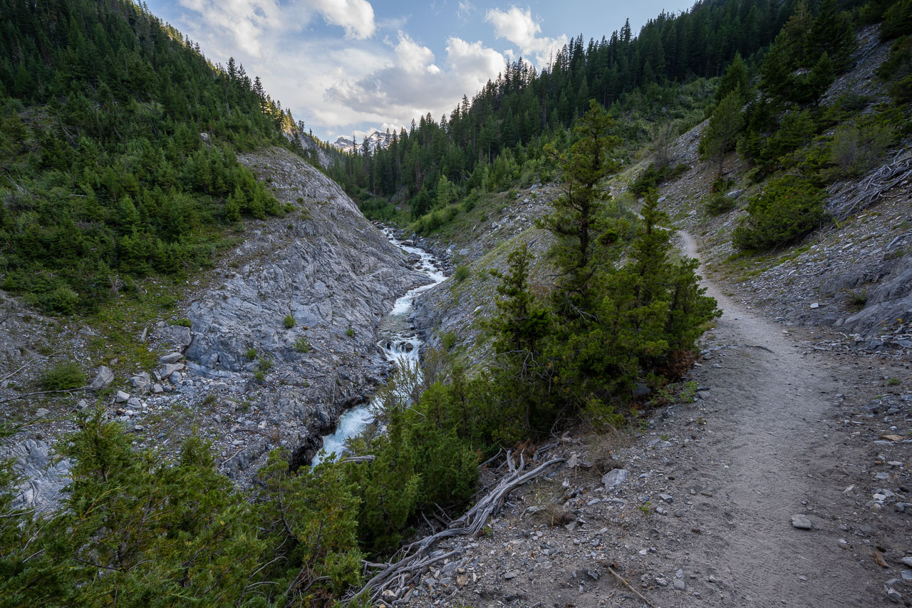
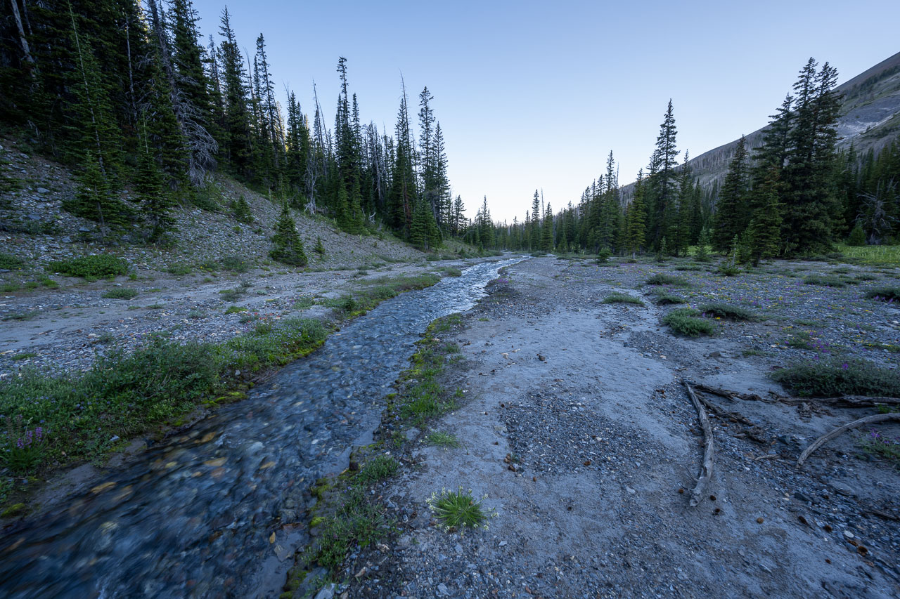
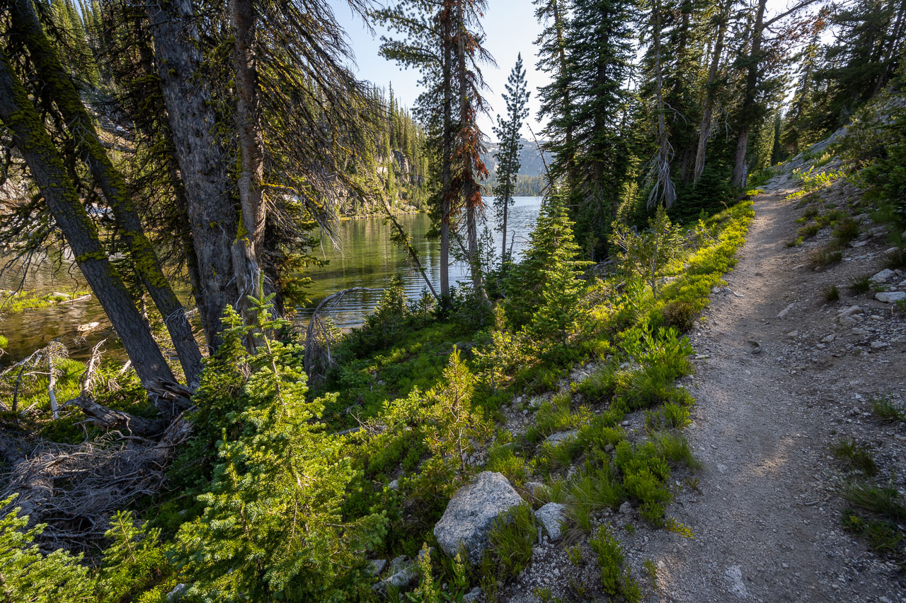
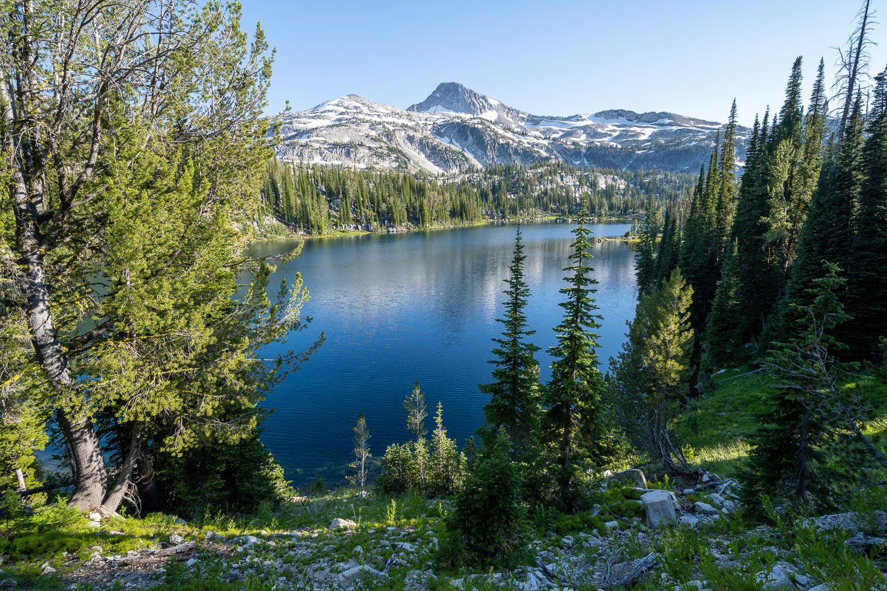
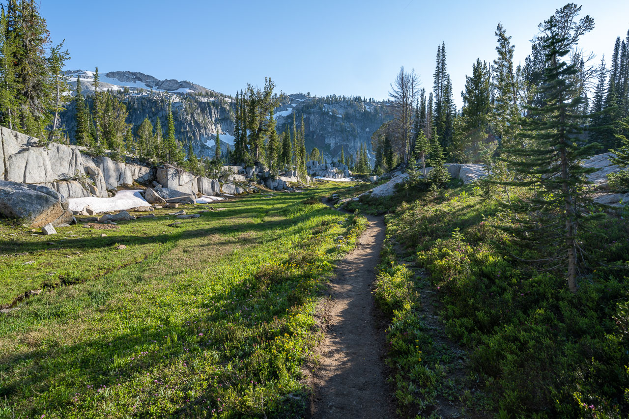
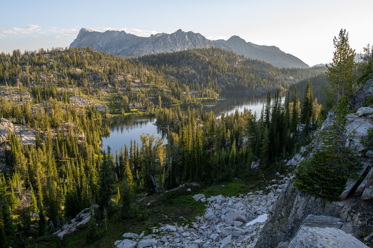
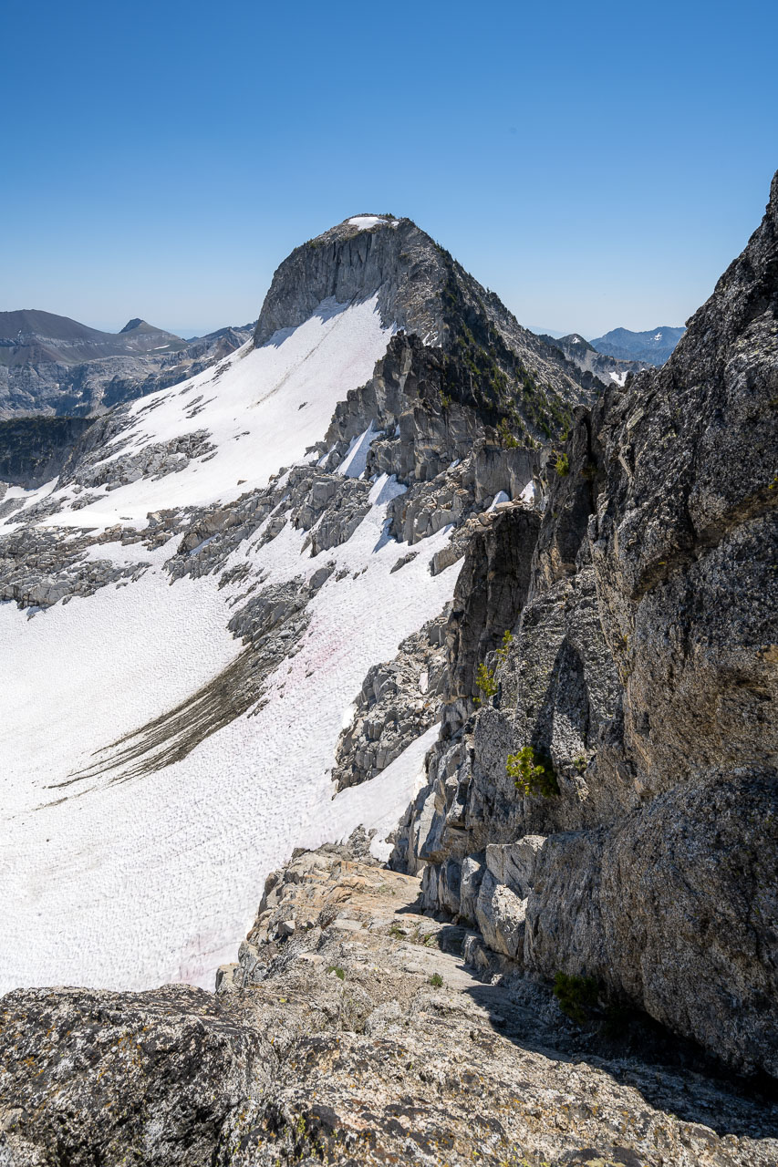
I made a steep descent off the ridge to get down to Lookingglass Lake. Hummingbird Mountain was nearby so before dropping down to the lake I made a quick detour over to the summit, which included a short stretch of Class 3 scrambling. There were some nice views of the lake from the summit, as well as the more impressive north face of Peak 8412. I finished the descent down to the lake and crossed the manmade rock dam that had been constructed at the outlet of the lake. I didn’t see anyone else camped at the lake, but as I made my way down the trail I did run into a few other groups that were heading up. The trail eventually crossed the main fork of Eagle Creek and I joined the trail leading to Eagle Lake. I passed several very nice campsites along Eagle Creek in this section.
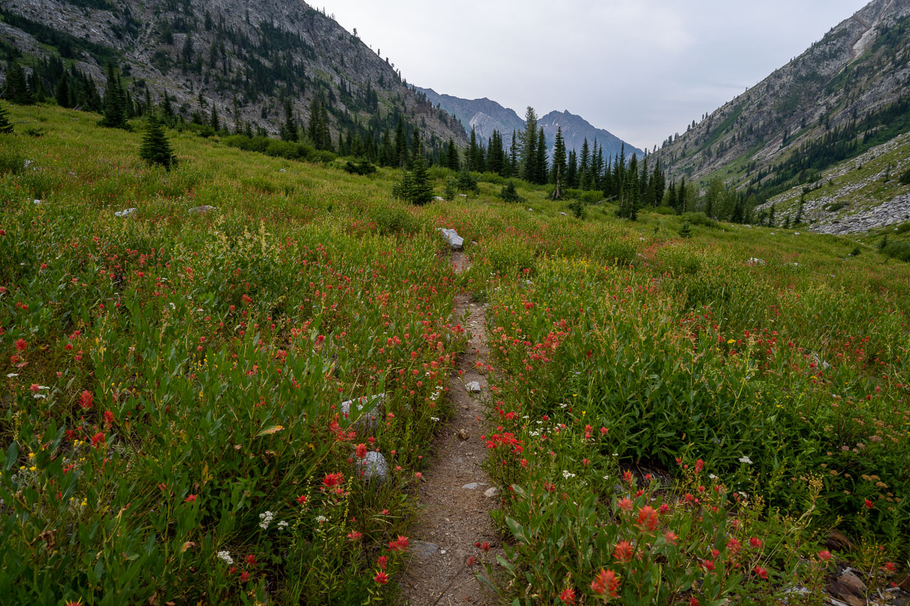
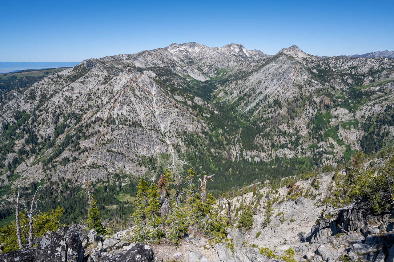
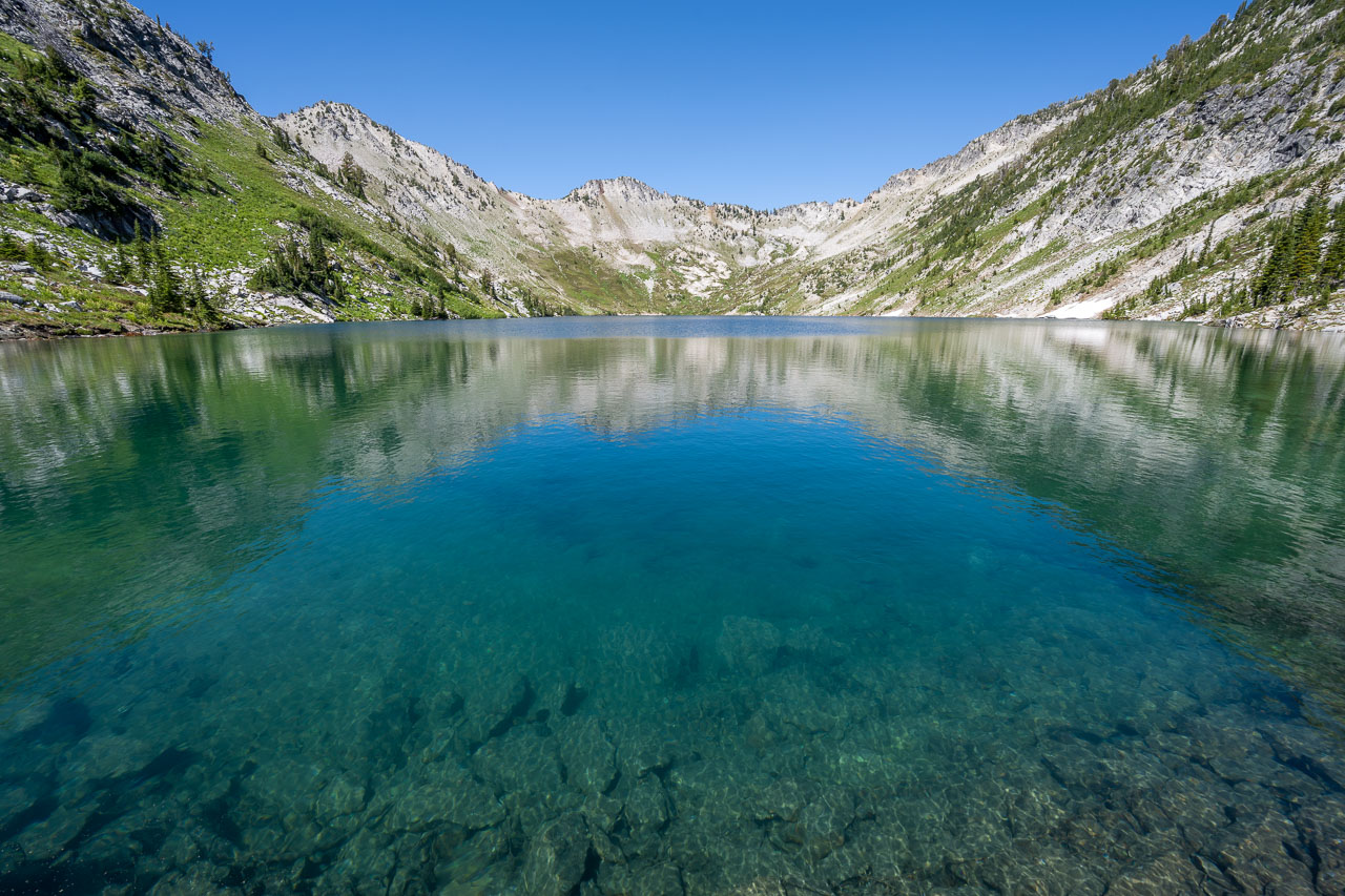
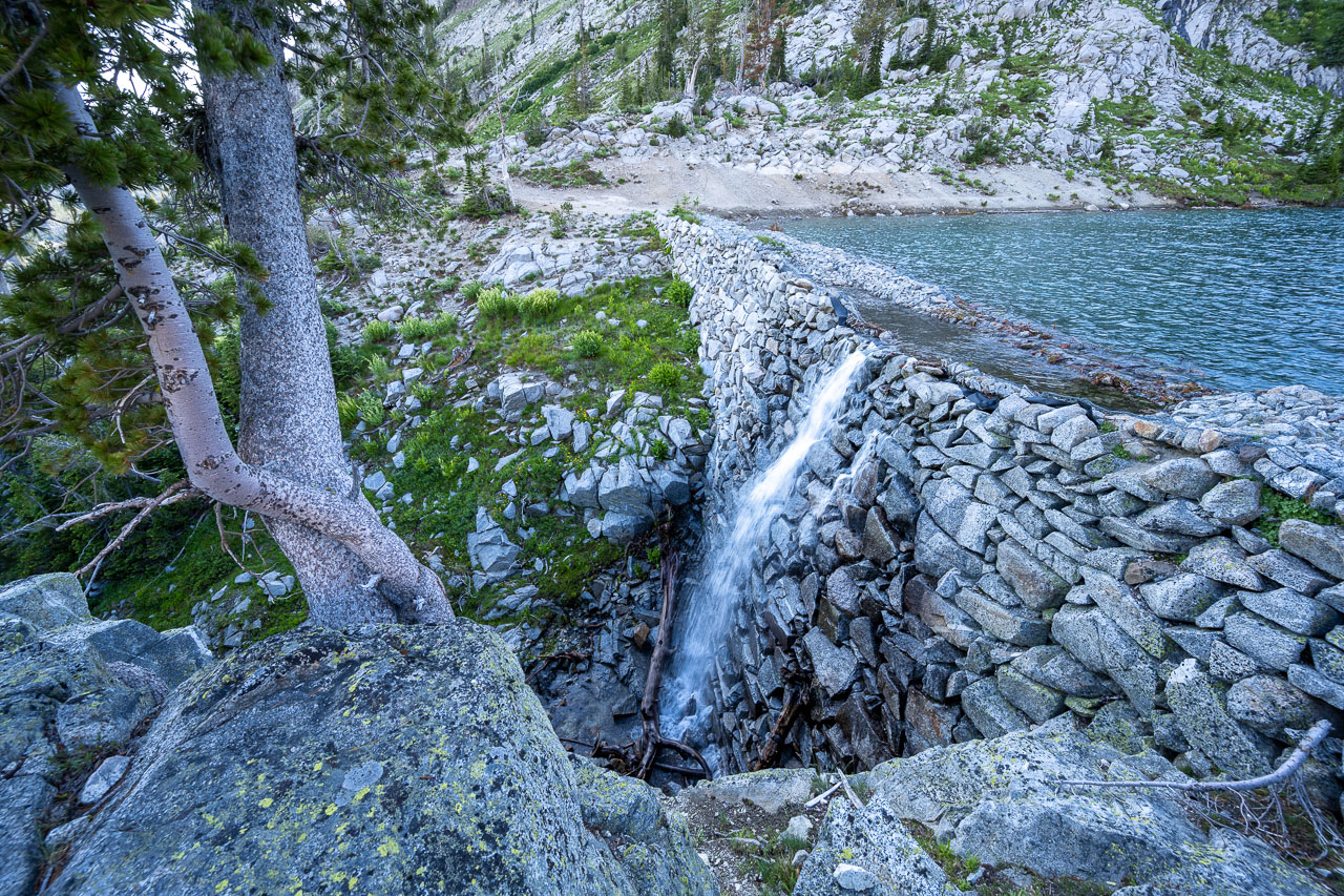
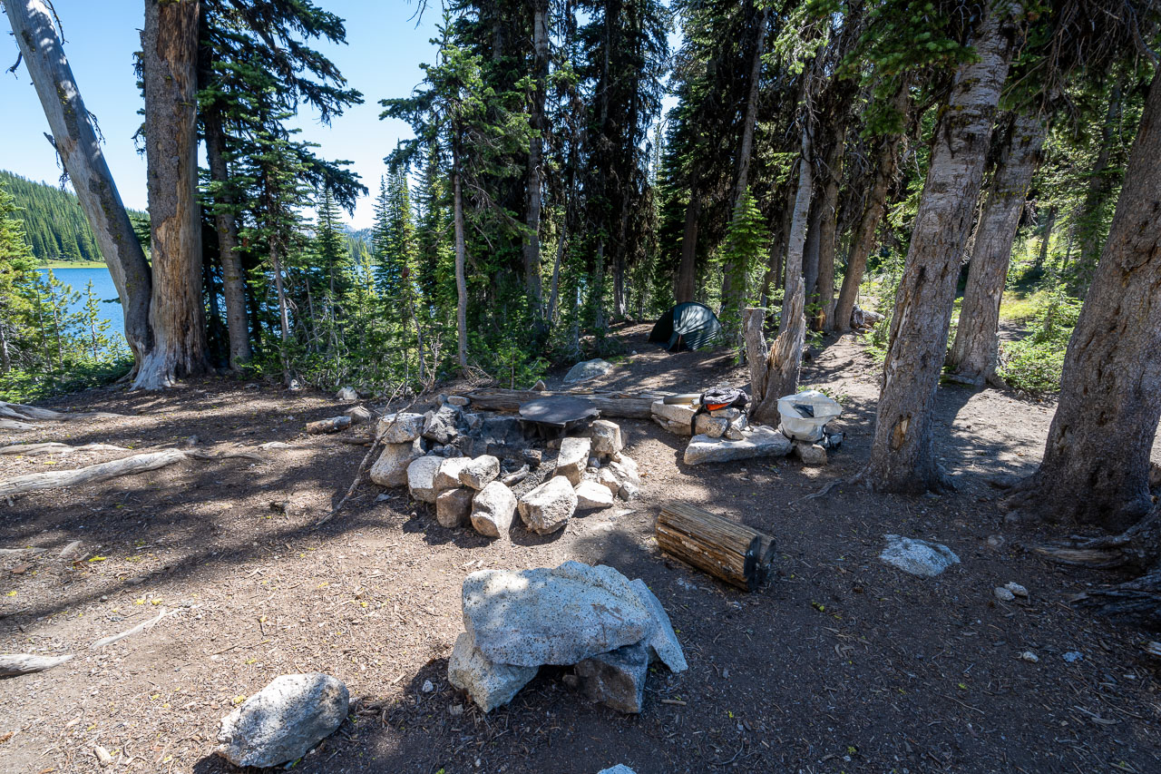
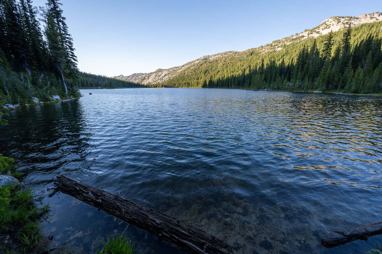
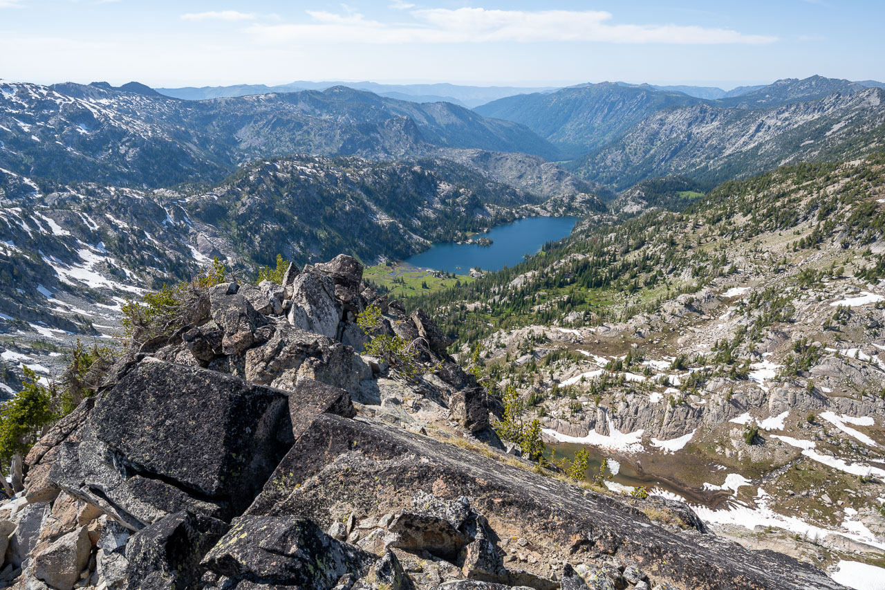
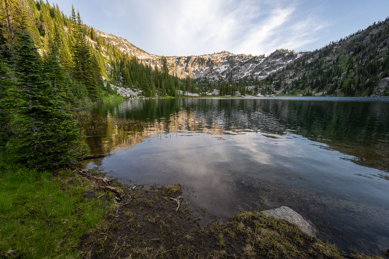
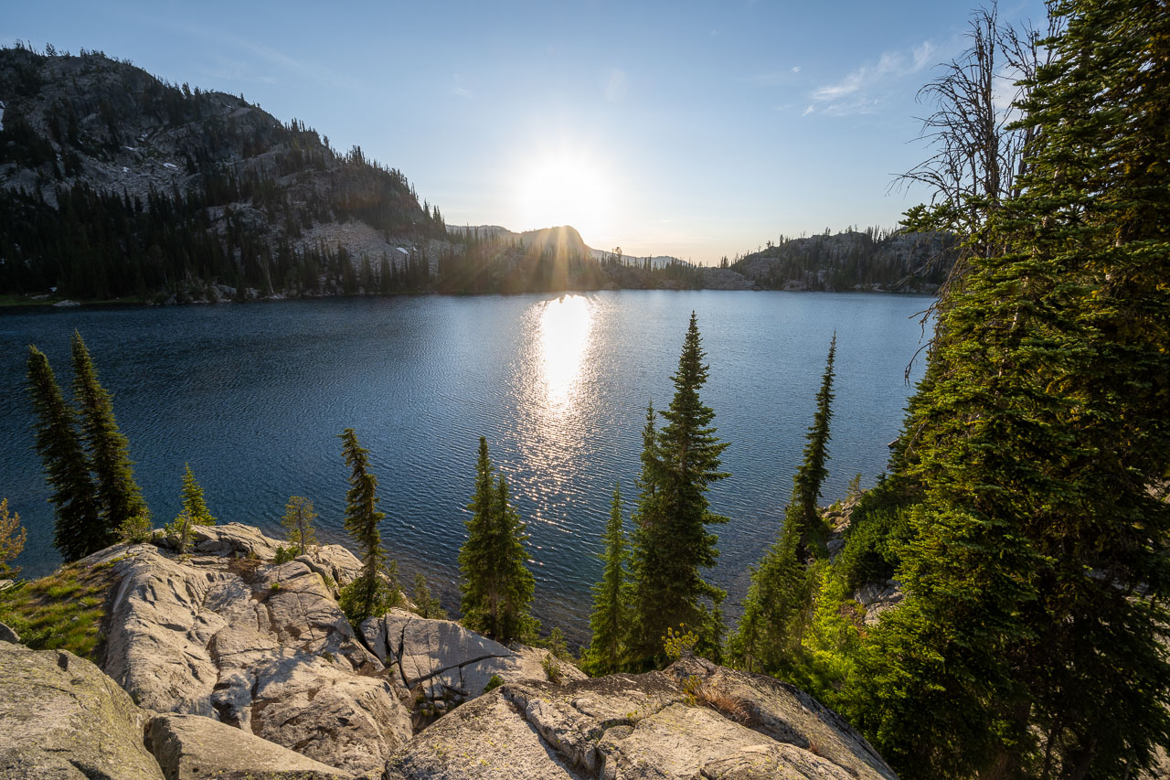
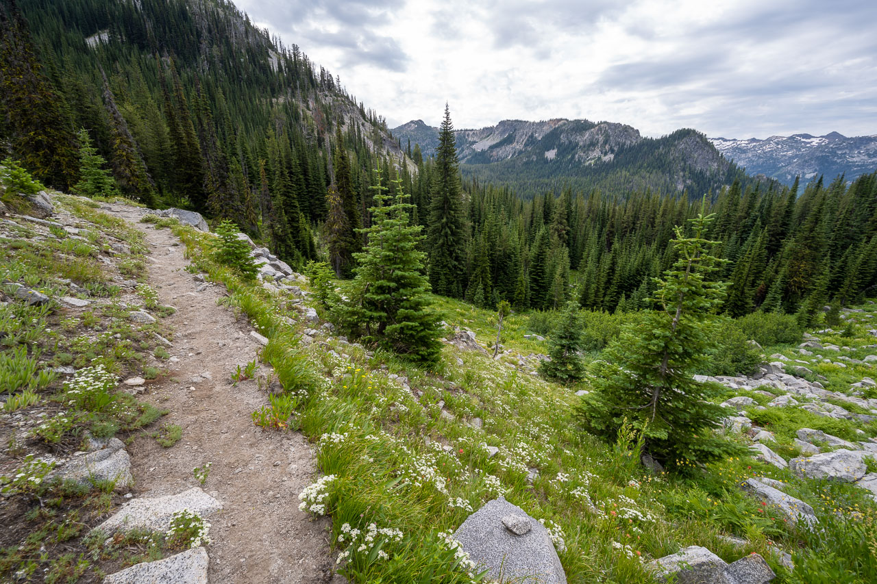
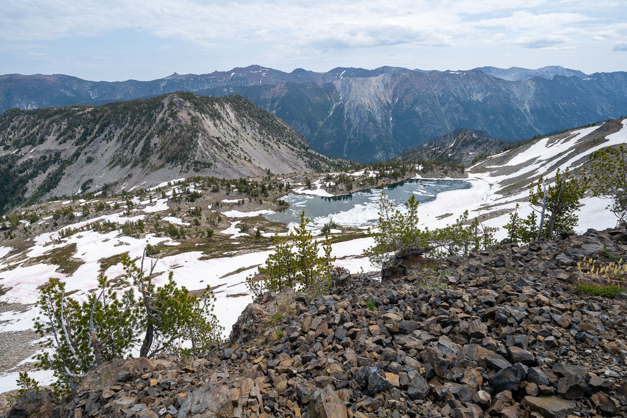
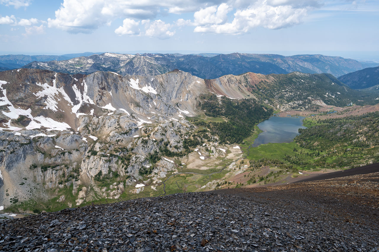
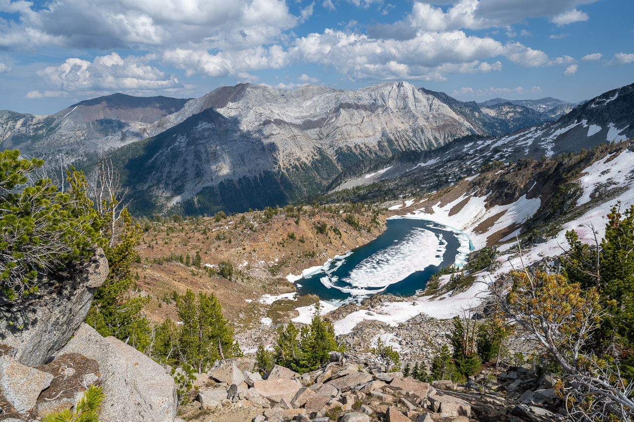
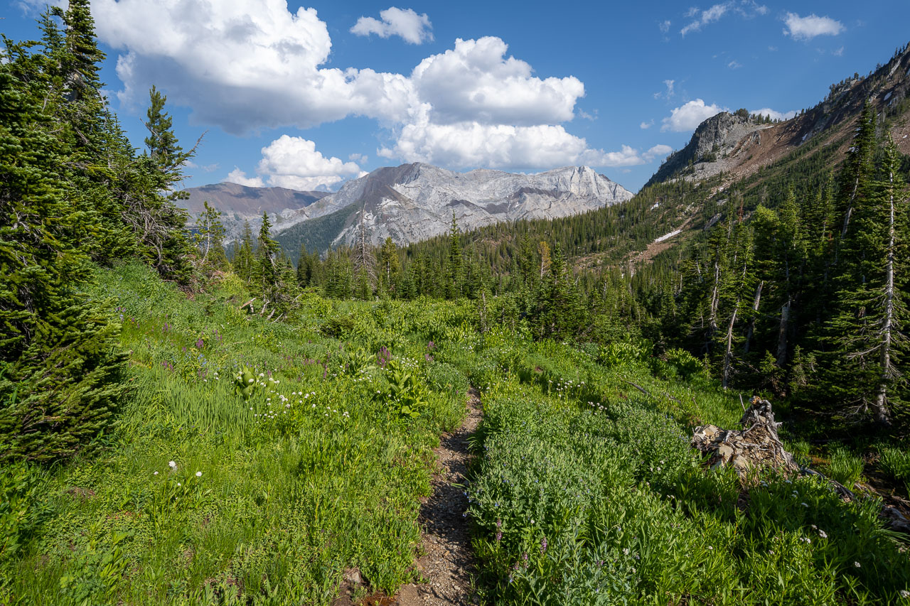
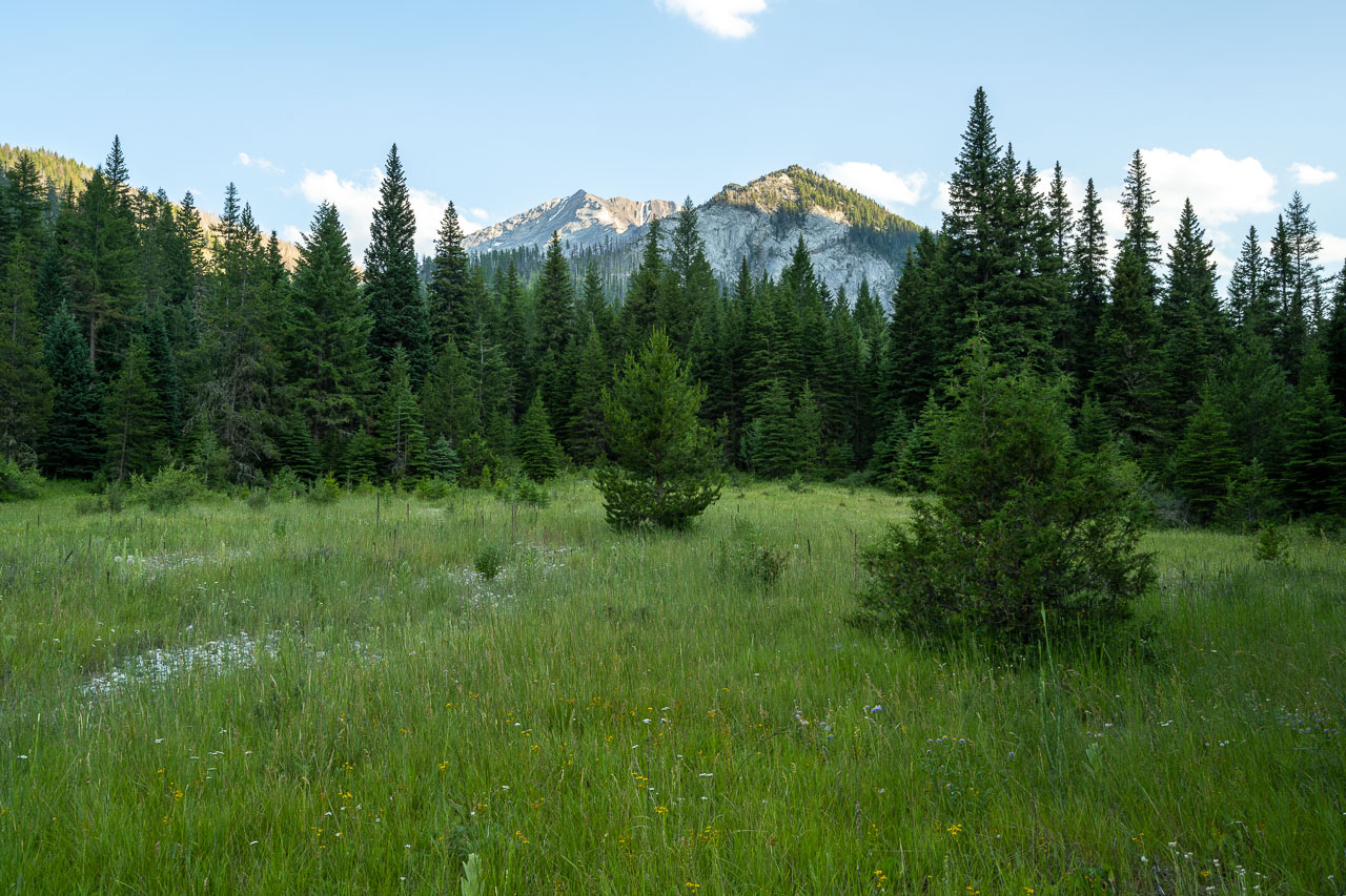
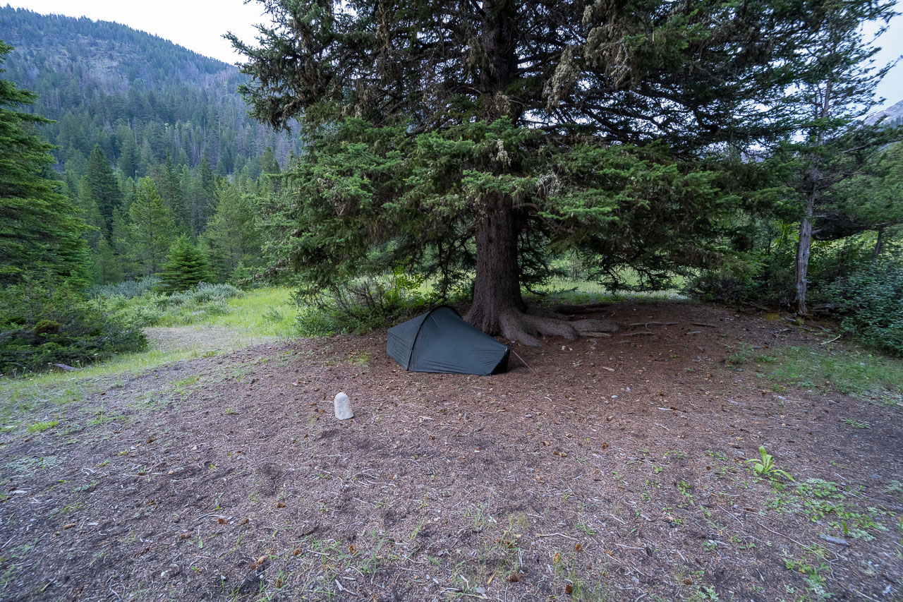
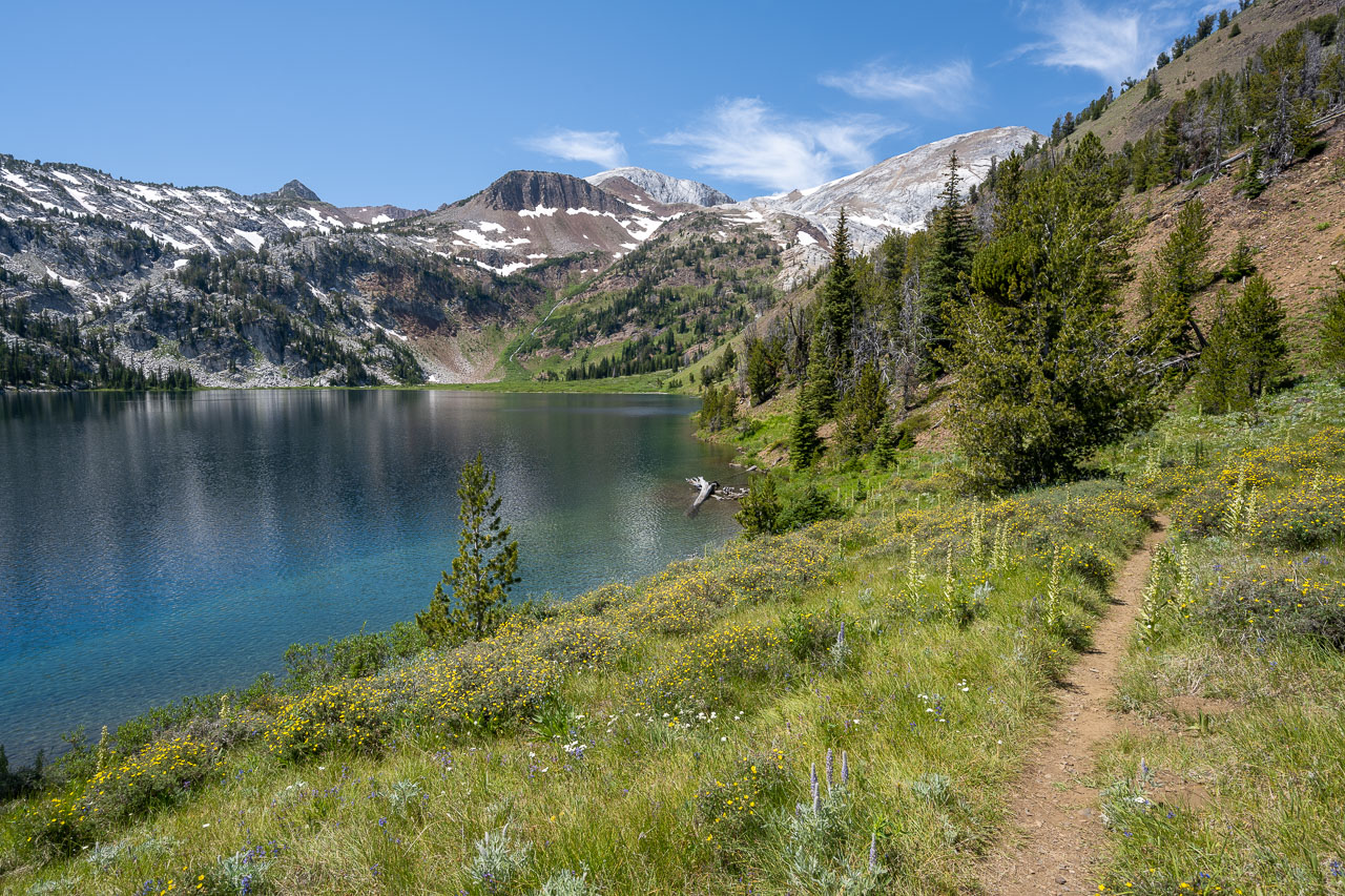
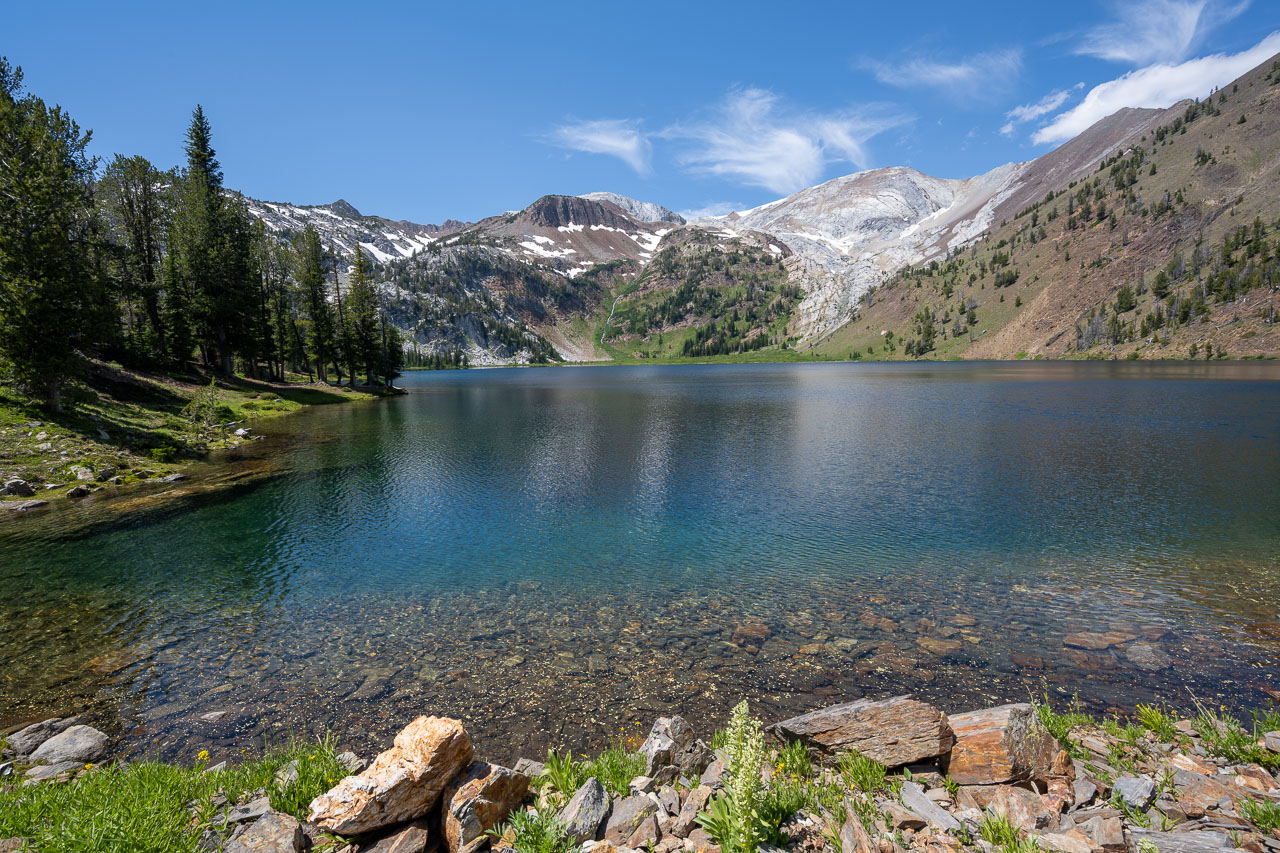
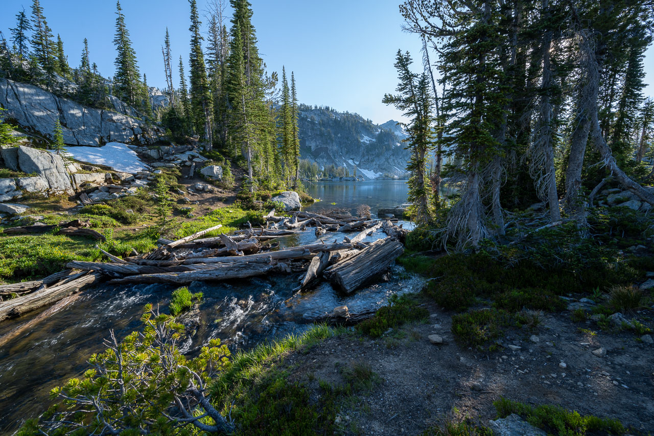
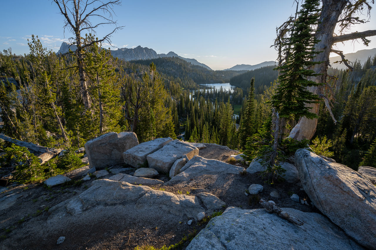
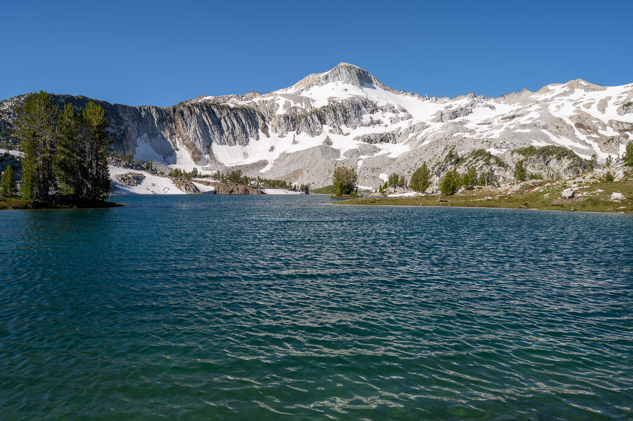
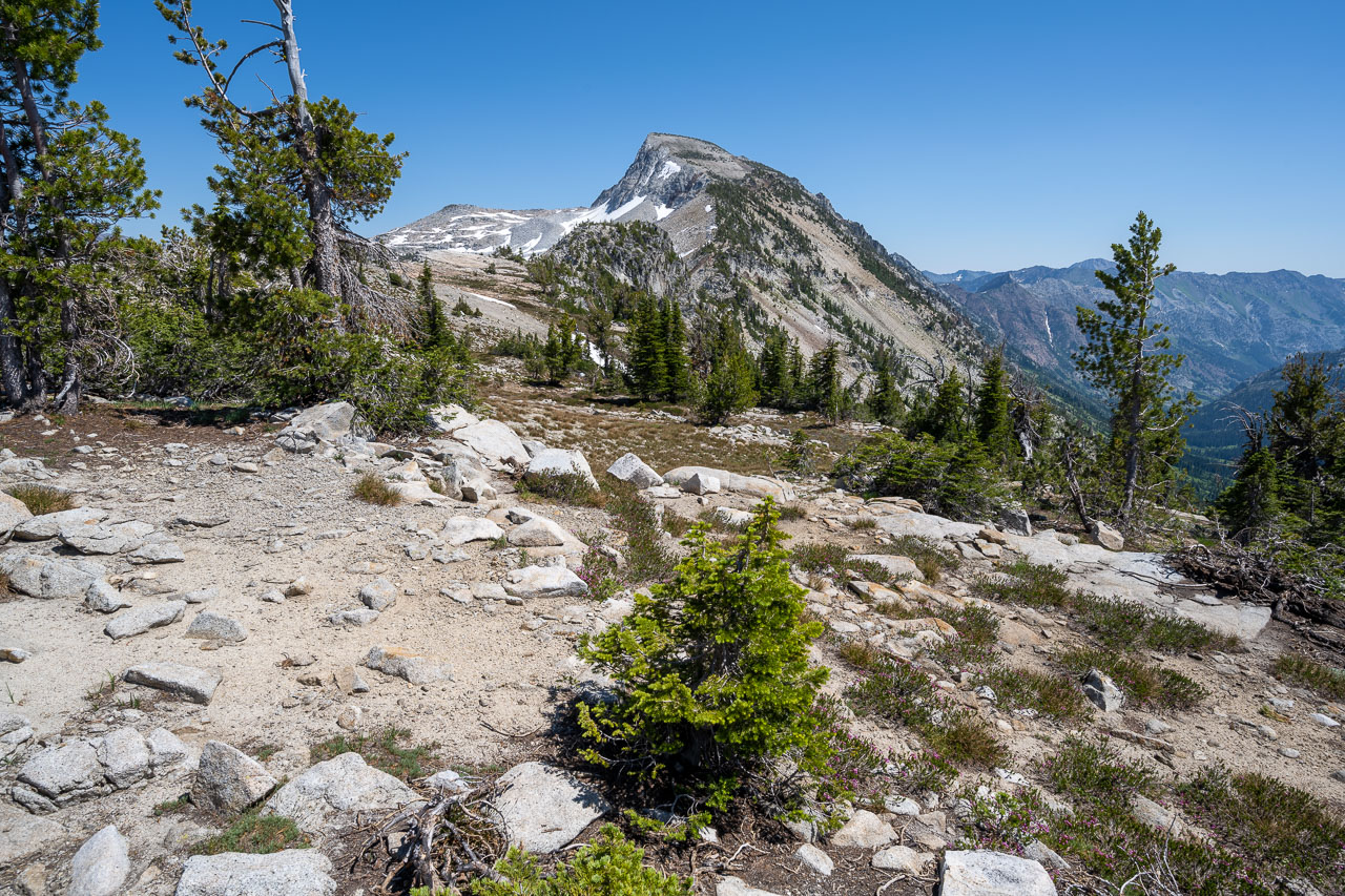
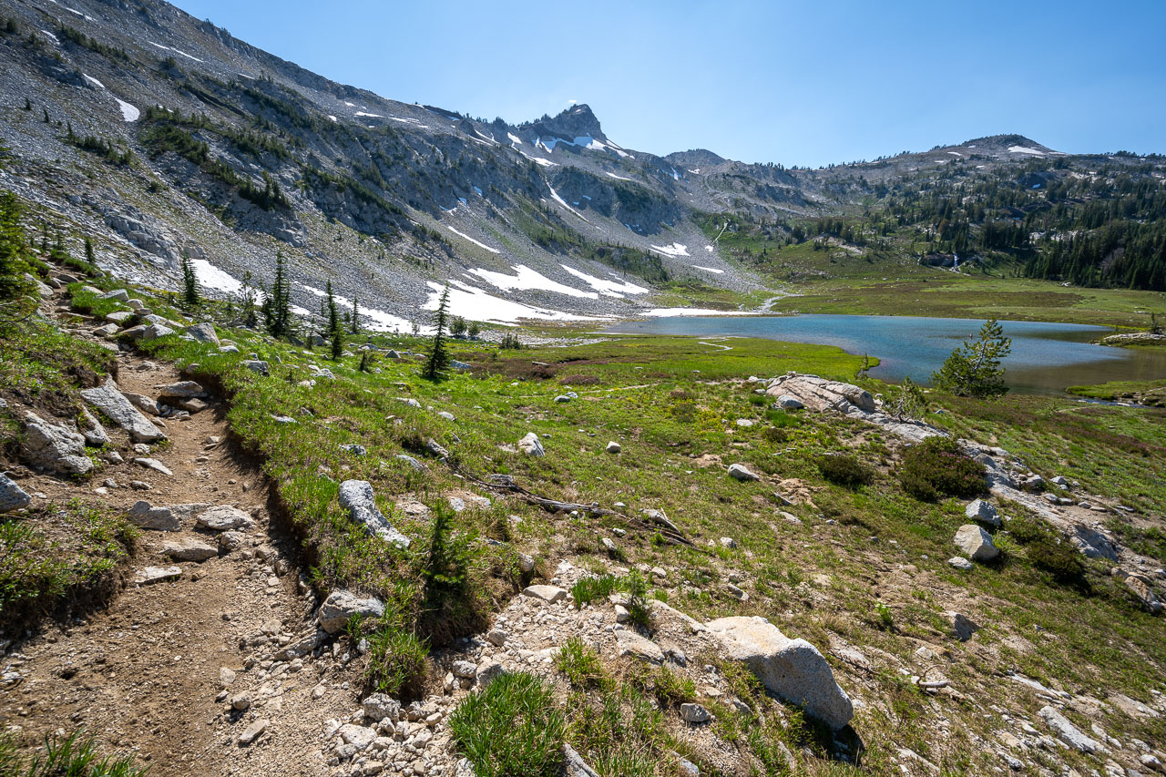
I followed the trail for a few miles as it paralleled Eagle Creek up toward Eagle Lake. Needle Point, an impressive looking P1K, sat at the head of the valley. I took some switchbacks across the southern slope of Needle Point and arrived at Eagle Lake by mid-afternoon. I set up camp near a small waterfall pouring over a manmade dam. A rocky bluff near camp provided a nice view of the valley I had just come up. There was enough time after setting up camp that I decided to do a hike up nearby Peak 8924. I followed a steep chute above camp that led past an unnamed lake that was still partially frozen. There was a good view from the summit of many of the peaks I planned to visit over the remainder of the trip. On the way down I startled two large elk, and made it back to camp in time to get to bed relatively early.

16.2 Miles, 6450 Gain
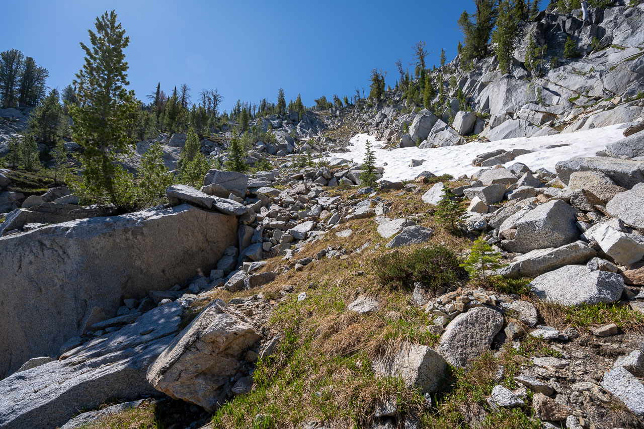
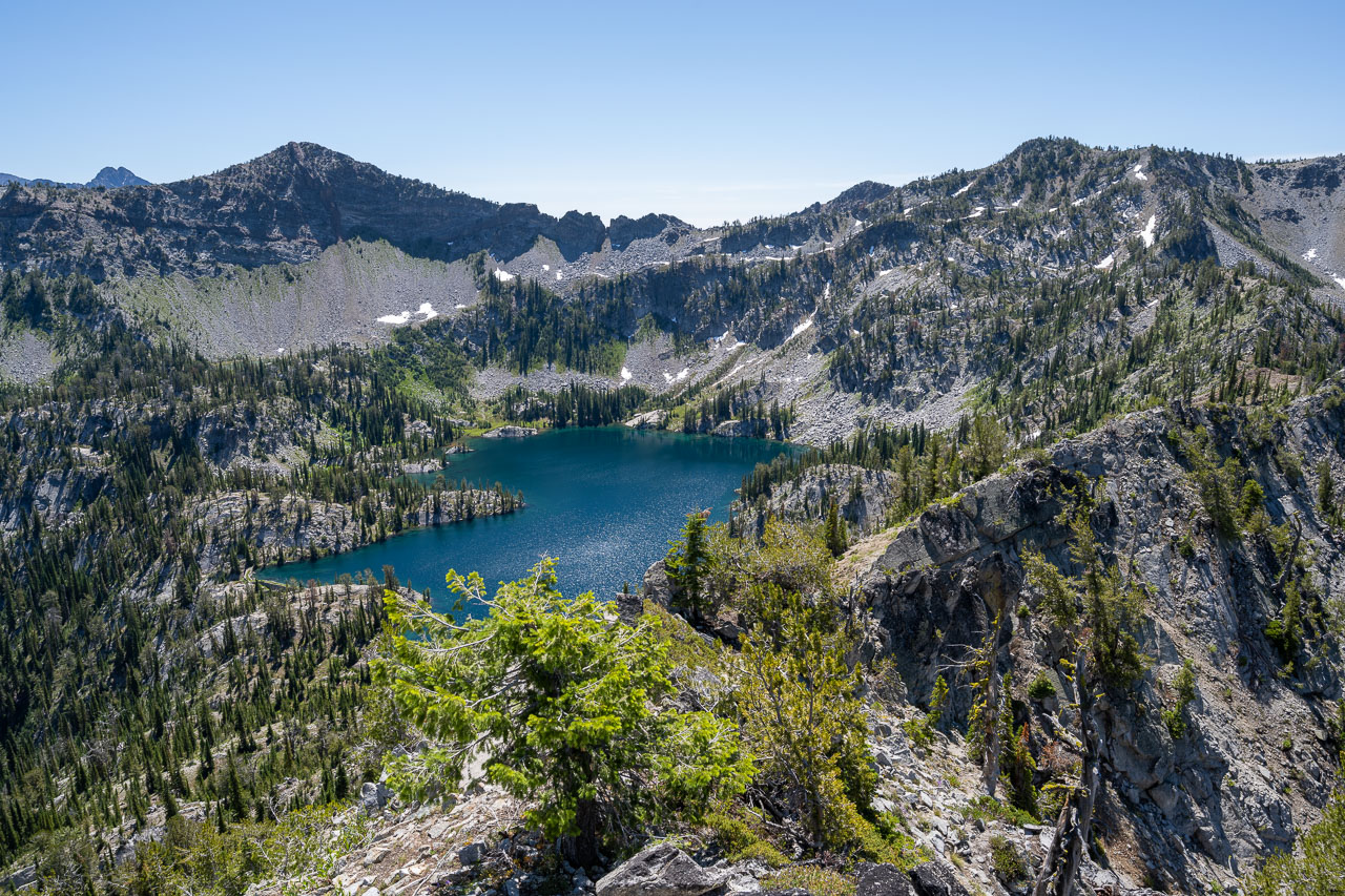
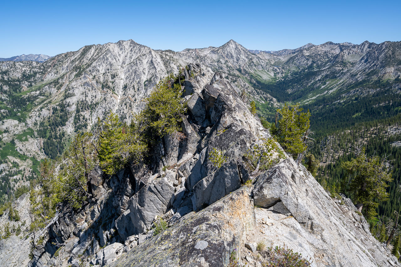
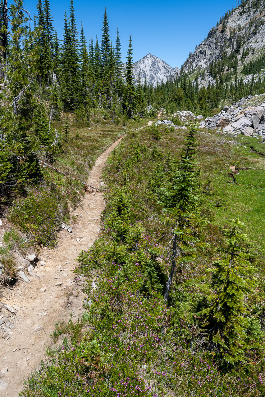
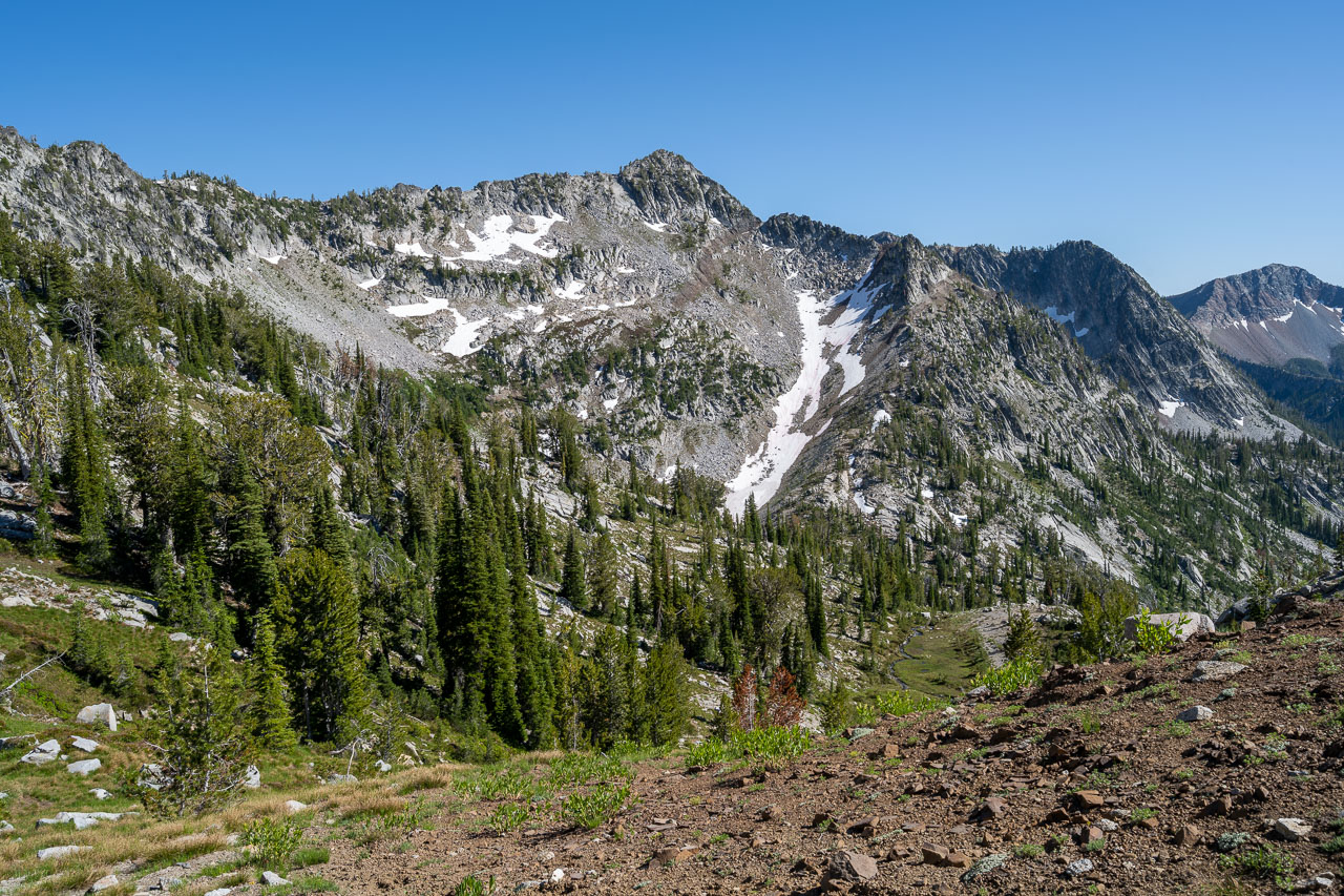
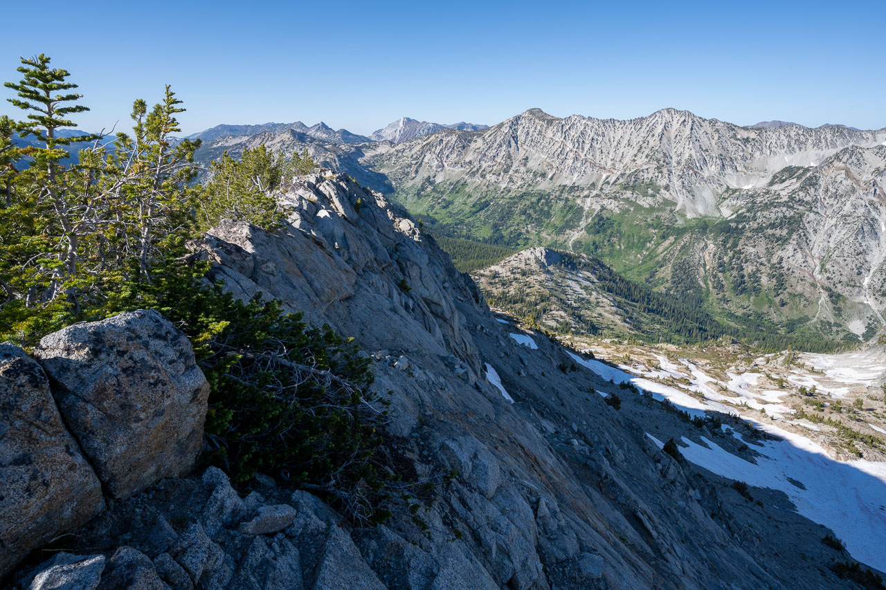
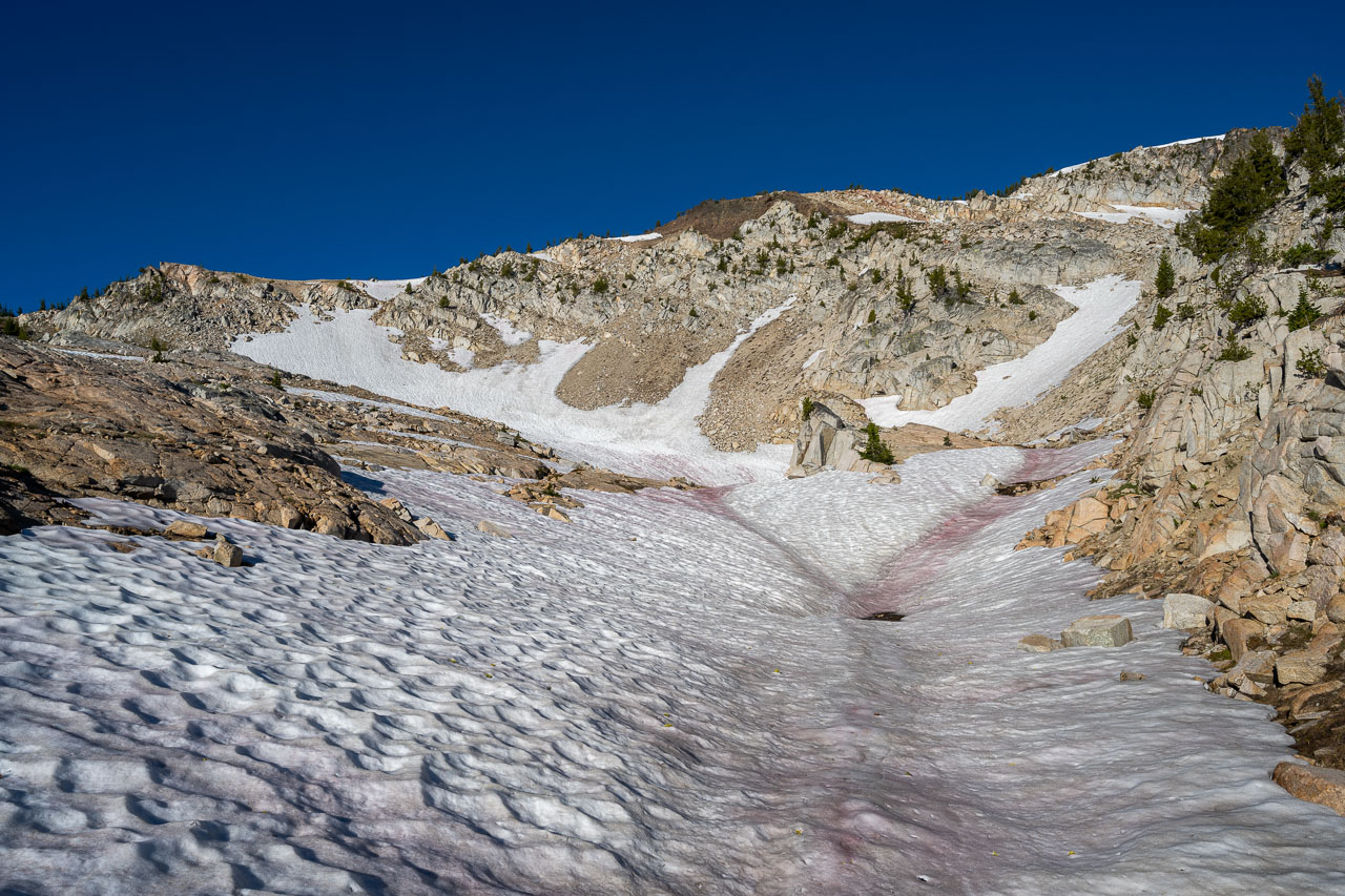
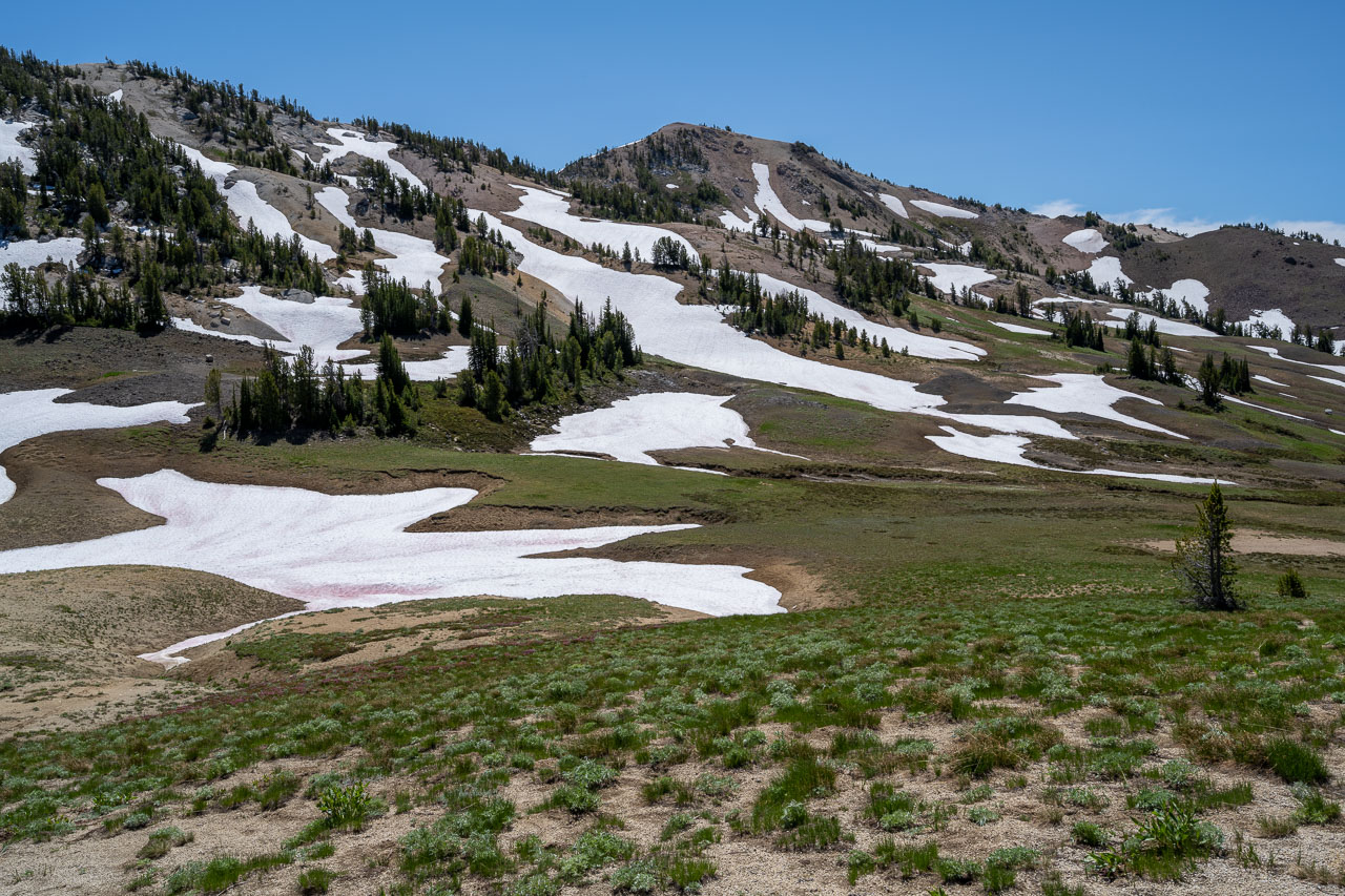
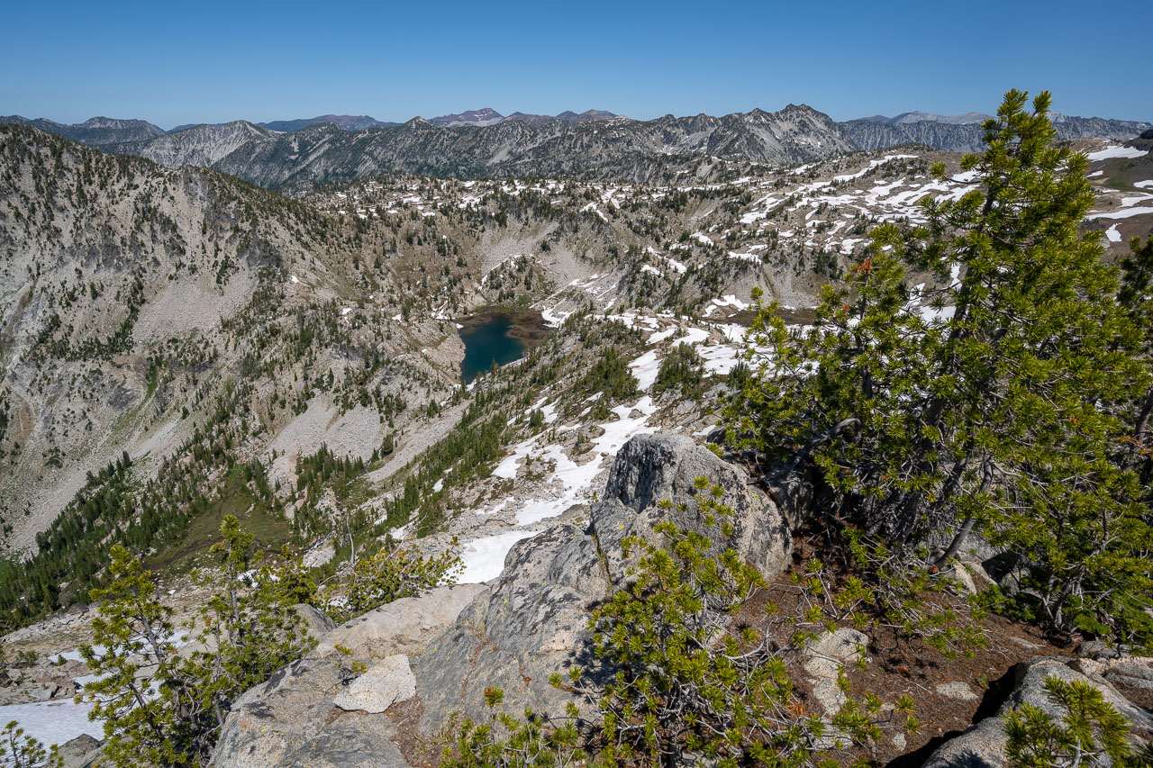
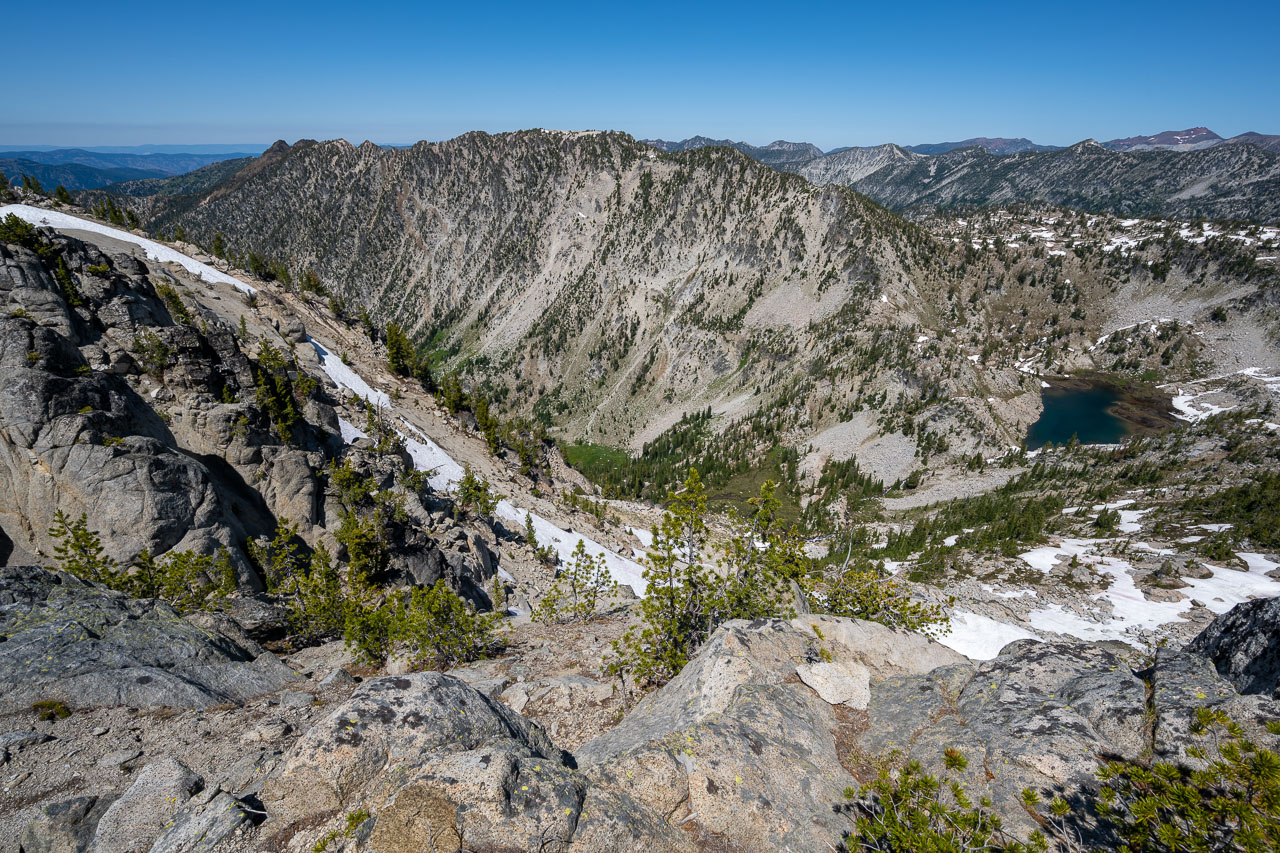
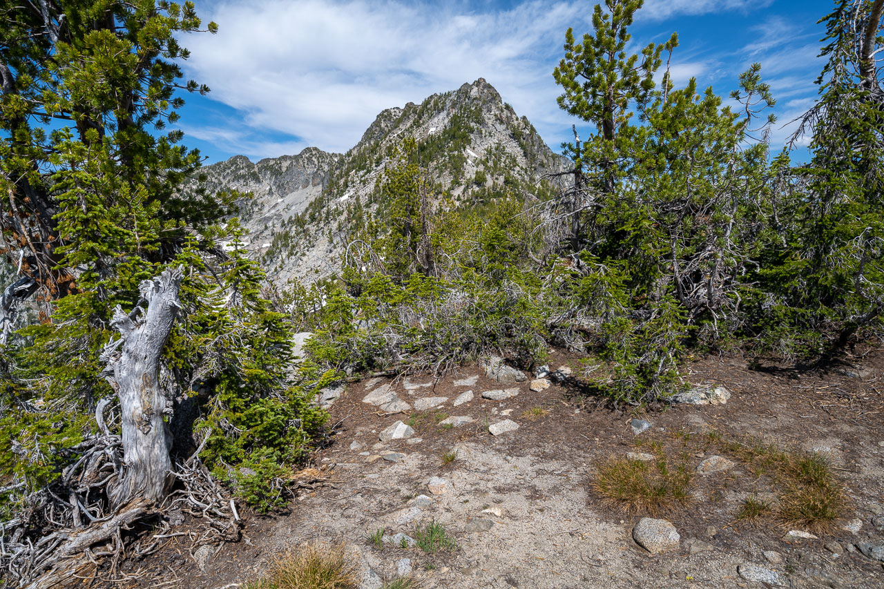
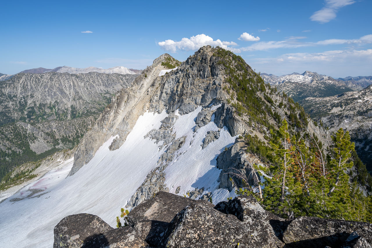
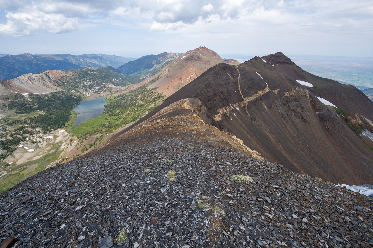
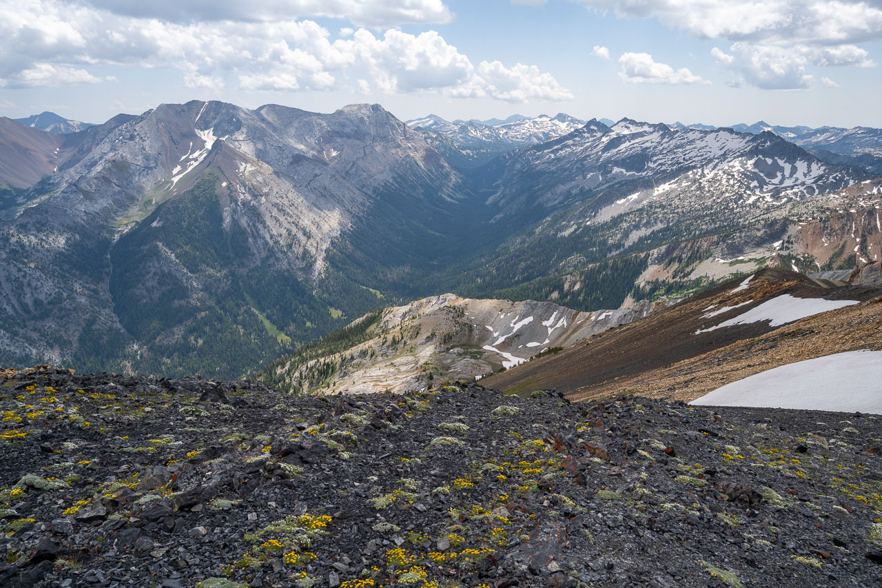
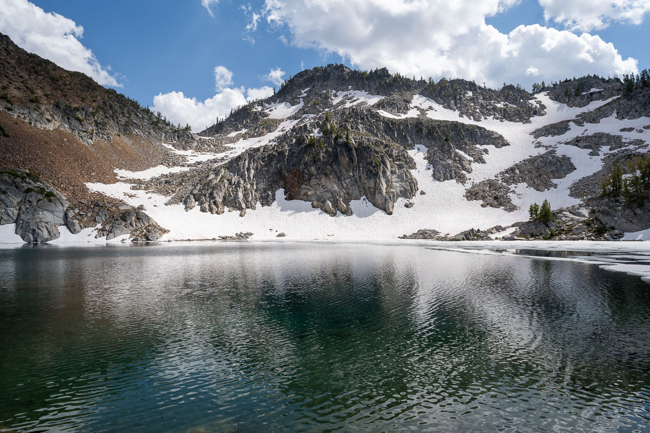
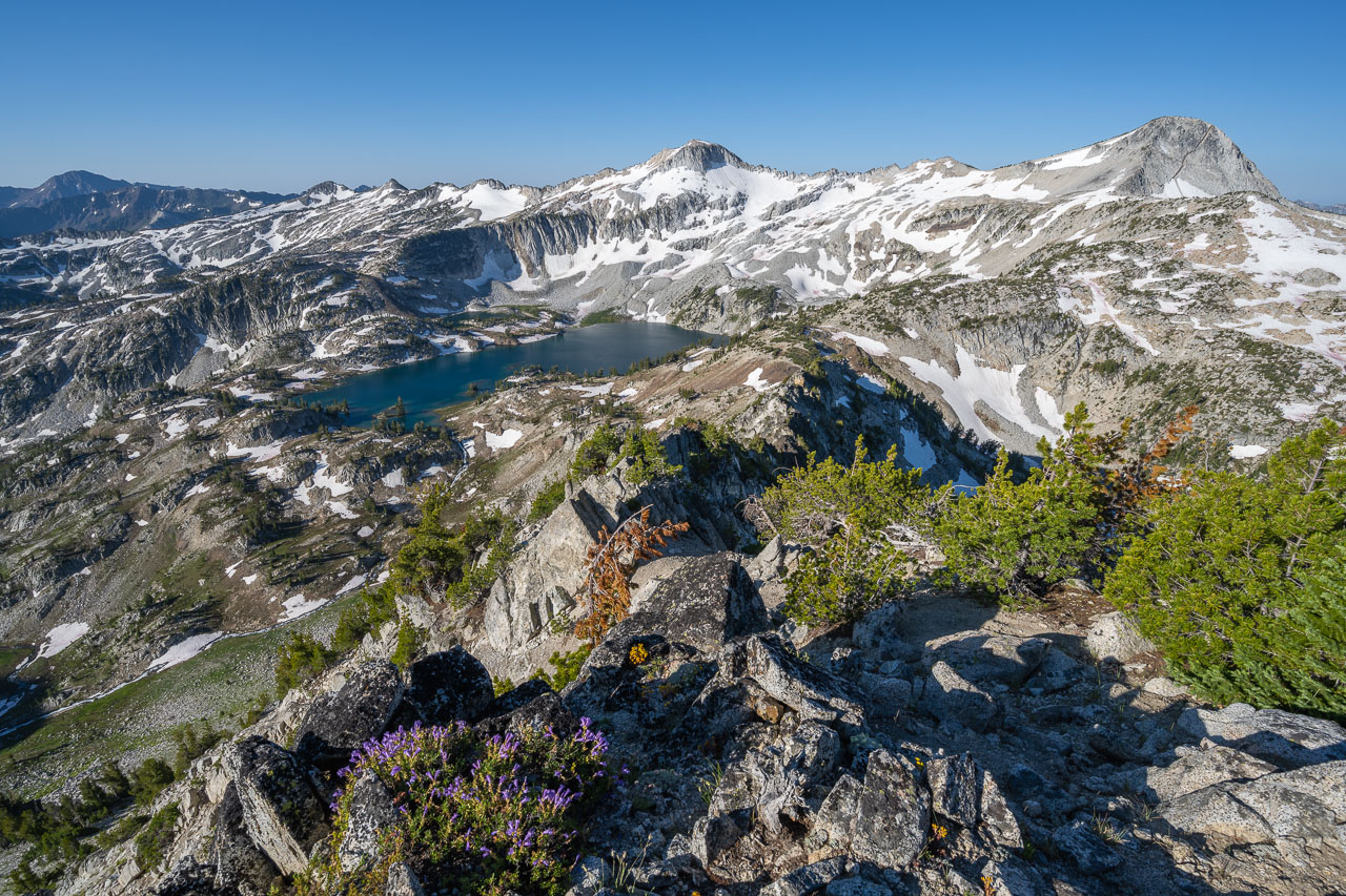
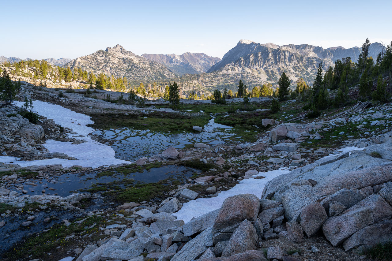
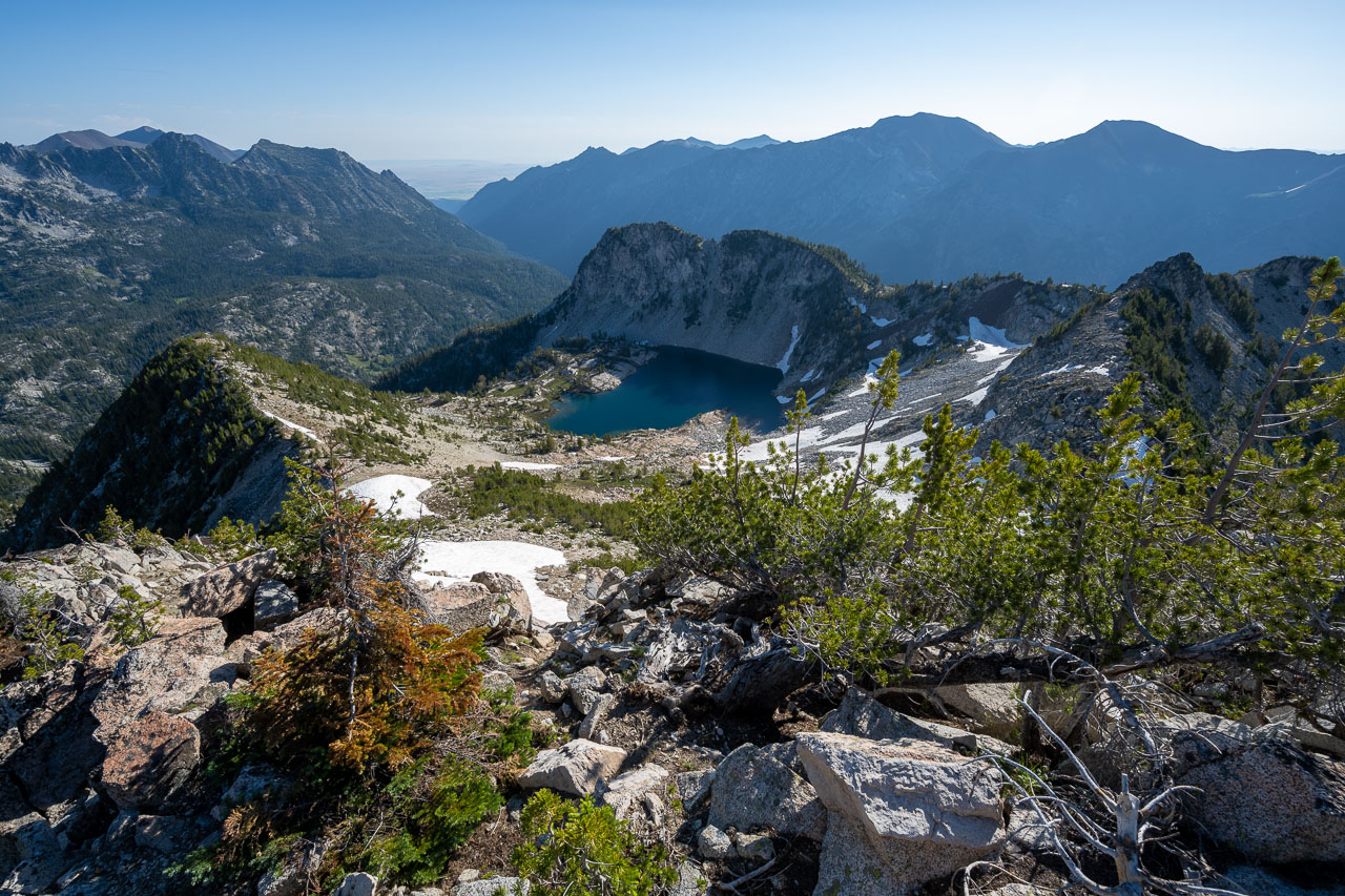
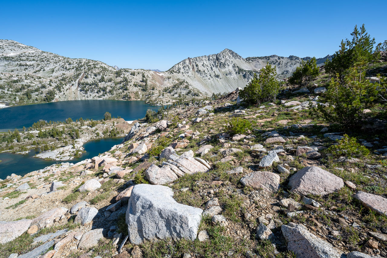
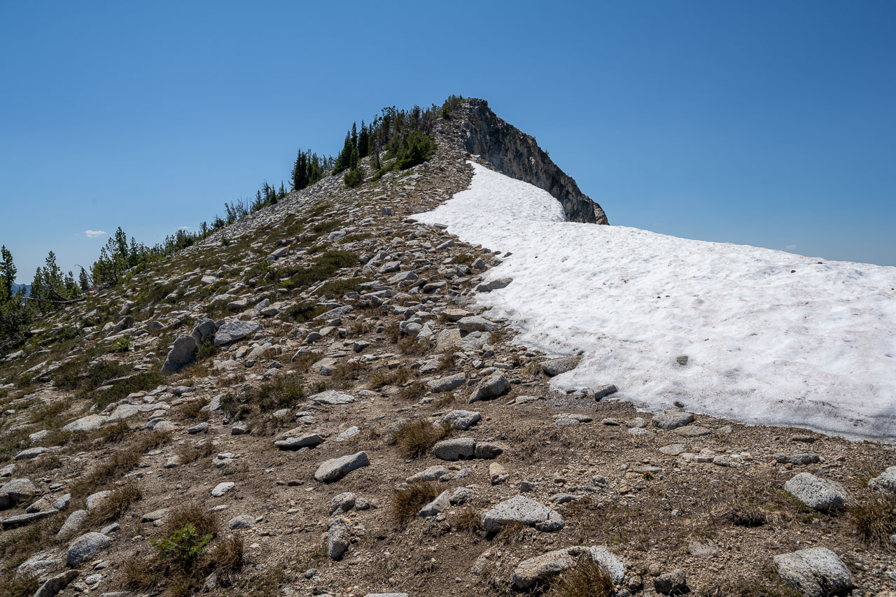
I packed up camp and started down the trail shortly after sunrise. I followed the trail around the base of Needle Point, then climbed steeply up to the basin on the west side of the peak. I dropped my pack there and did a short out and back to reach Needle Point. The route up was mostly Class 2, and involved navigating through some thicker forested sections. There were some nice views down to Eagle Lake from the summit, and in the distance I could see Minam Lake that I planned to camp at later in the day.
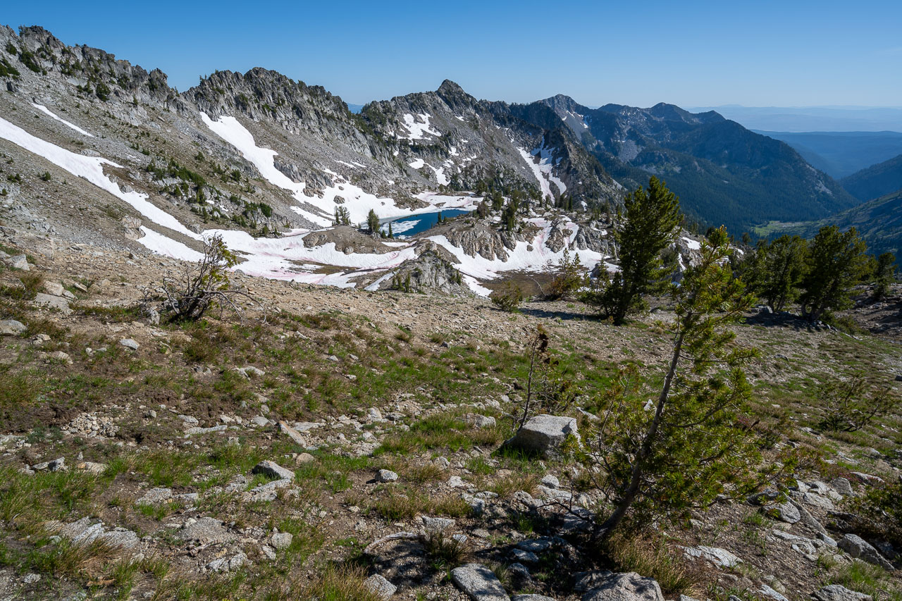
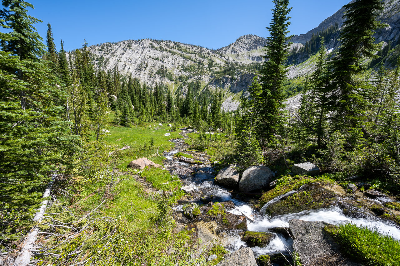
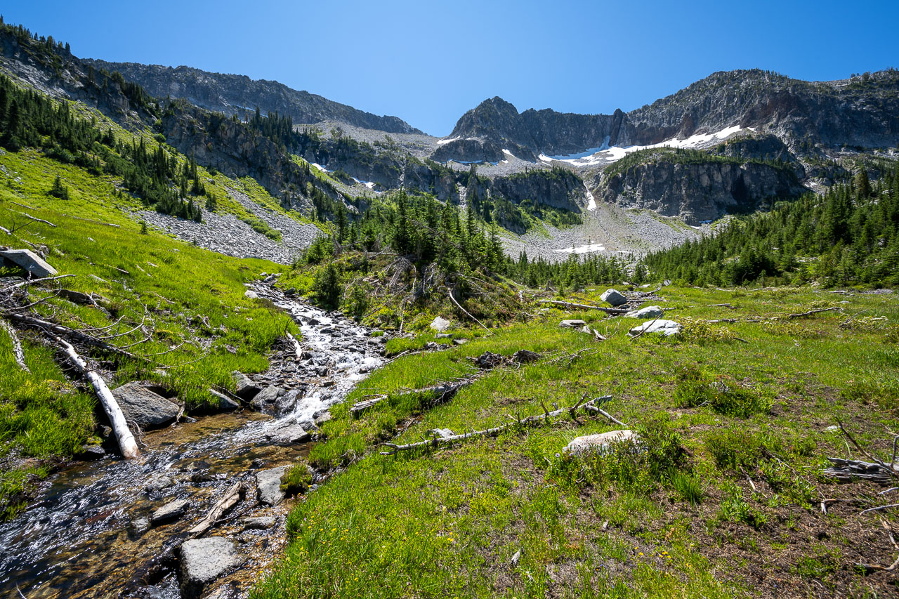
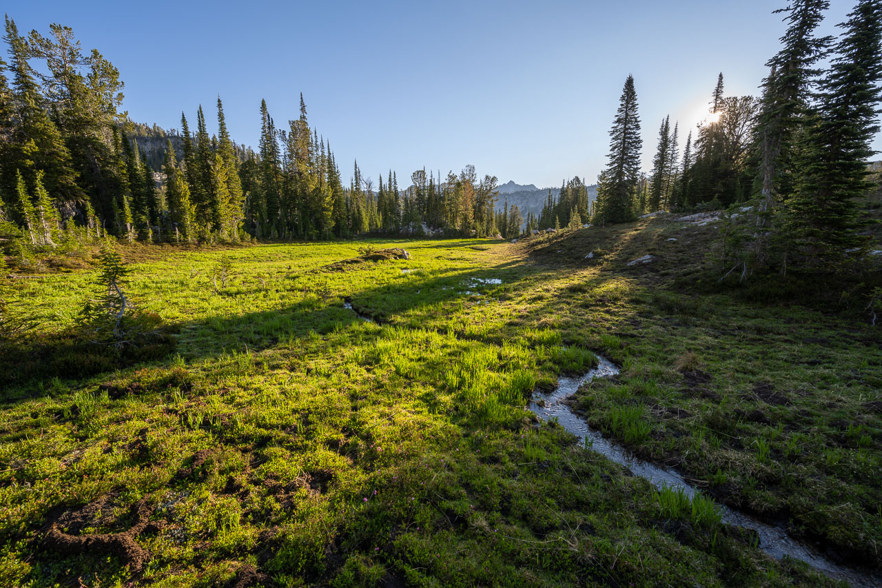
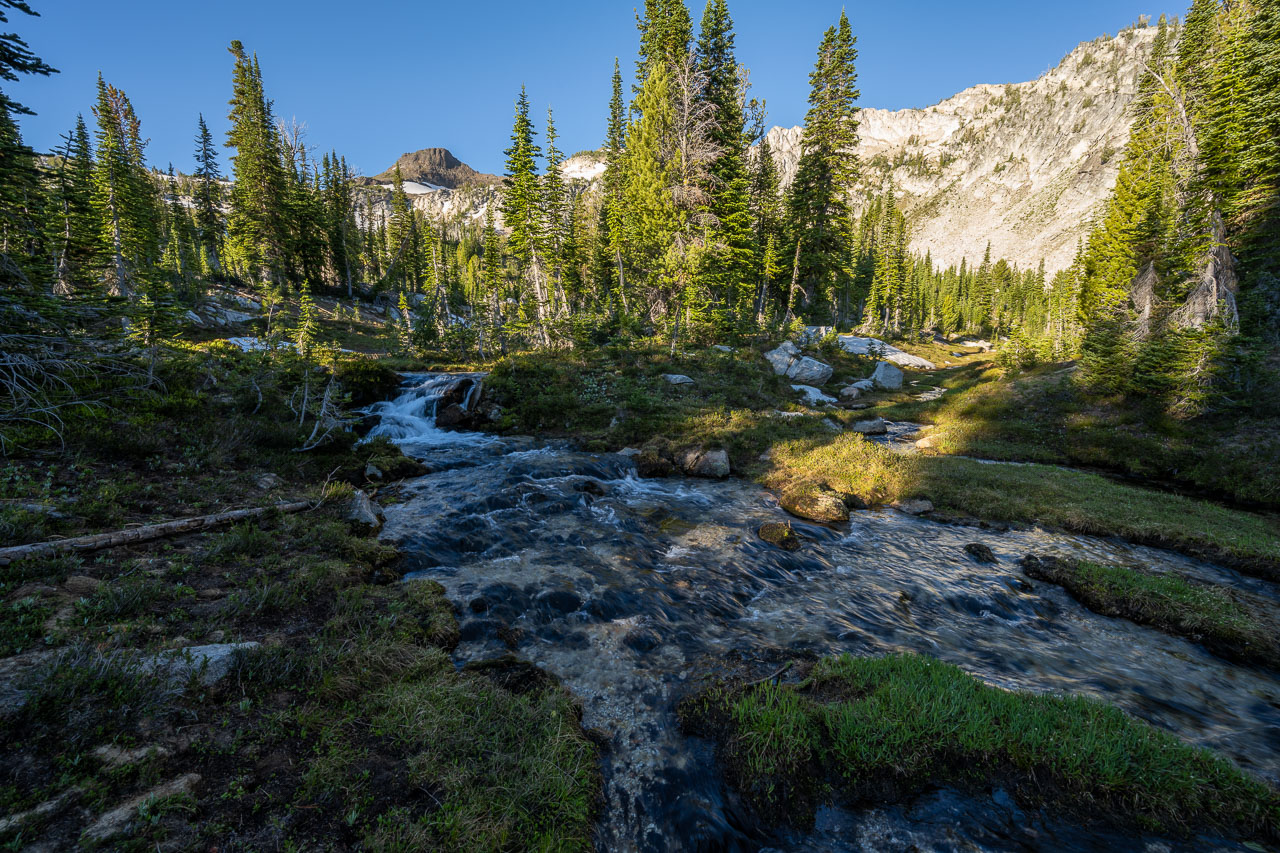
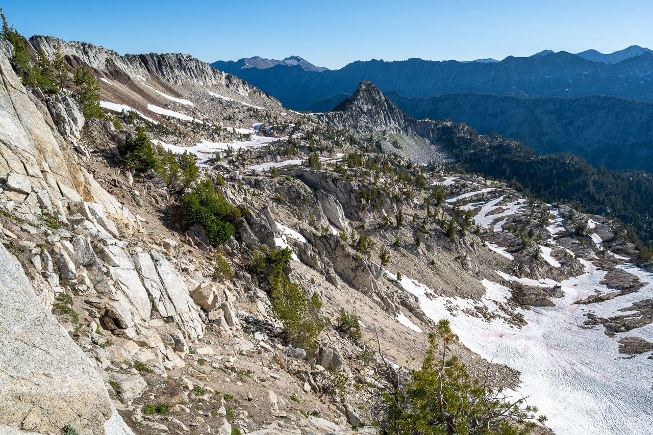
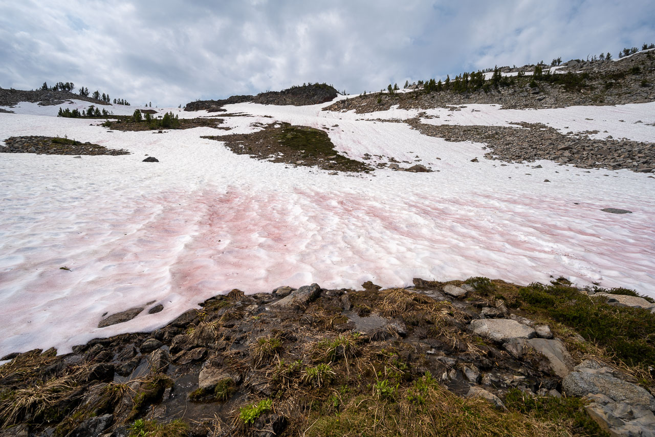
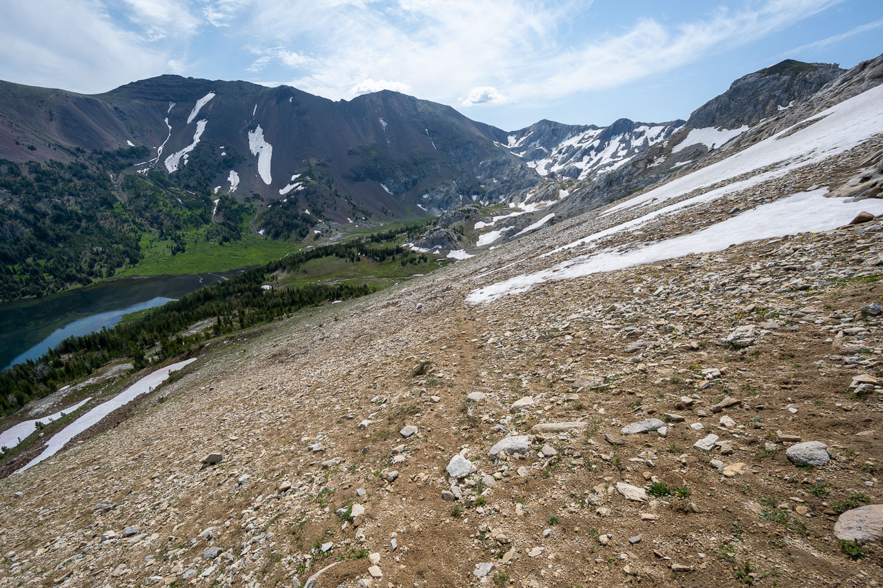
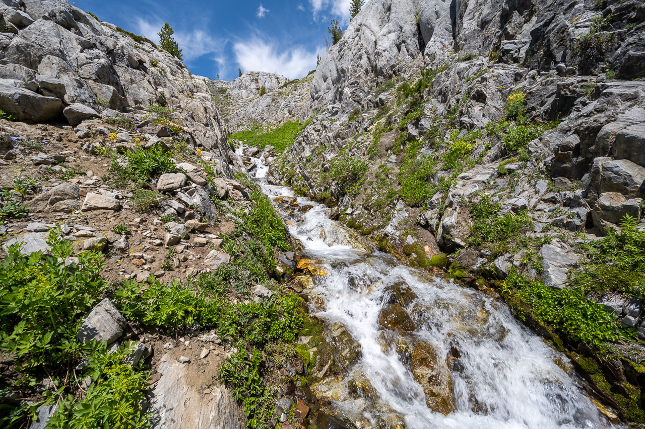
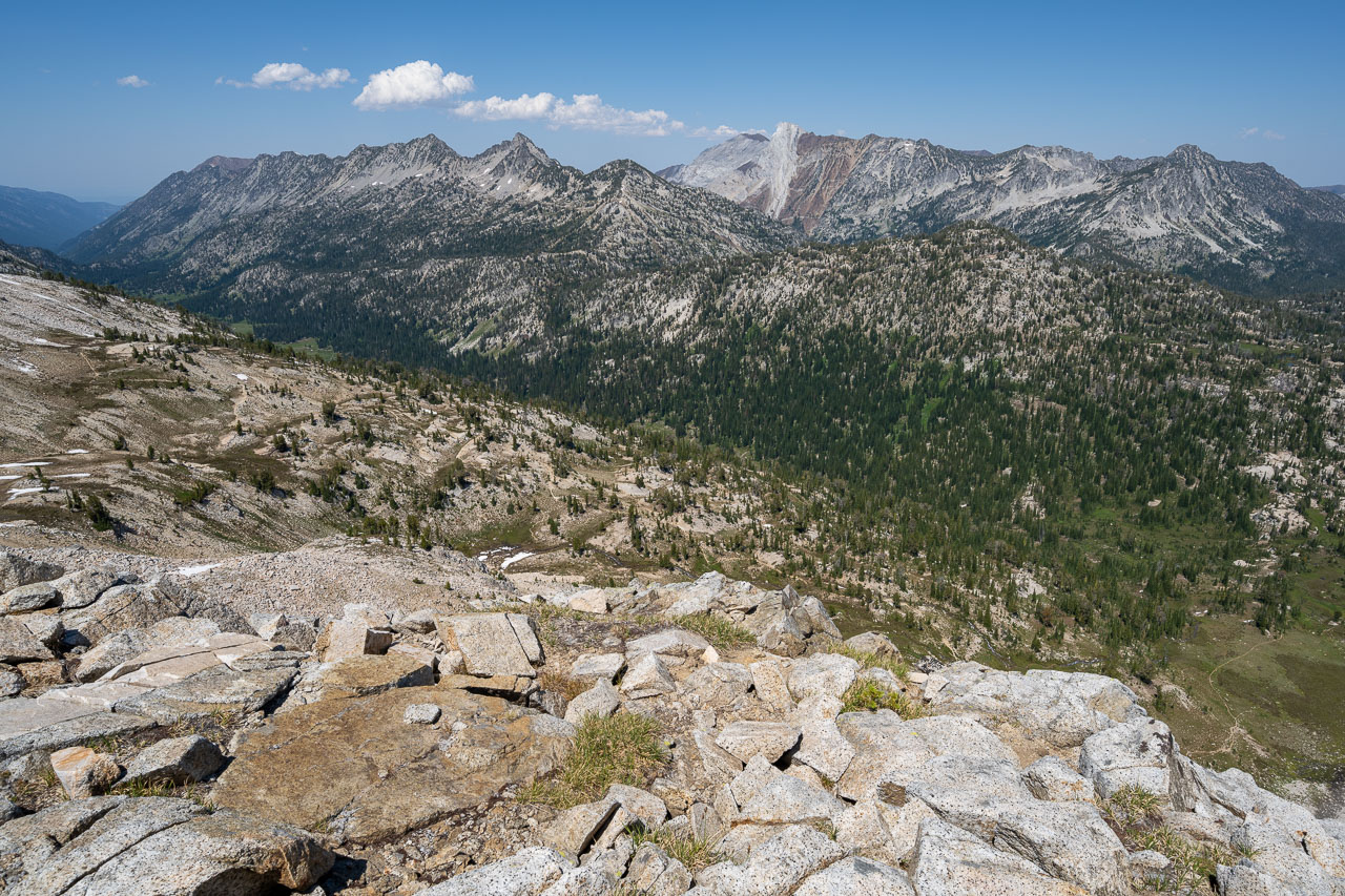
After returning to my pack I started across the upper basin and joined the trail leading to Pop Lake. A small gap in the glaciated ridgeline led conveniently down to the lake. Peak 8586 wasn’t far from the gap, so I made another short detour over to the peak before continuing on to the lake. The trail officially ends at Pop Lake, but I was hoping there might be a use trail leading further down into the valley. I briefly followed a game trail beyond the lake but that soon disappeared in a large meadow. This section turned out to be the highlight of the day. Steep cliffs on the north side of Needle Point lined the basin, with several impressive cascades flowing into the valley below. I crossed a meadow full of wildflowers then eventually exited into the forest on the far side.
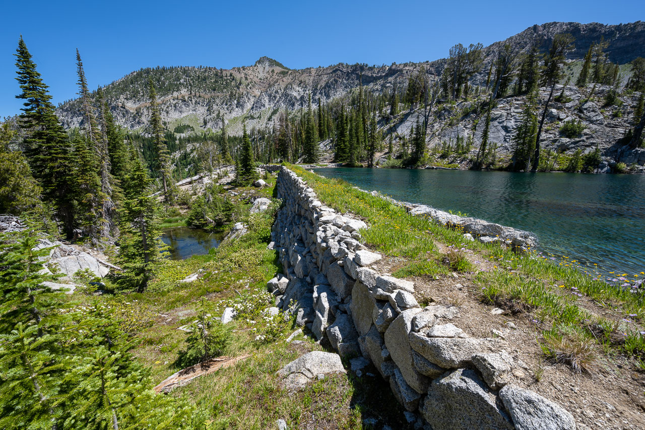
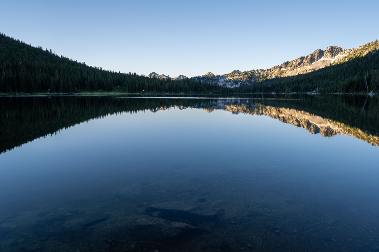
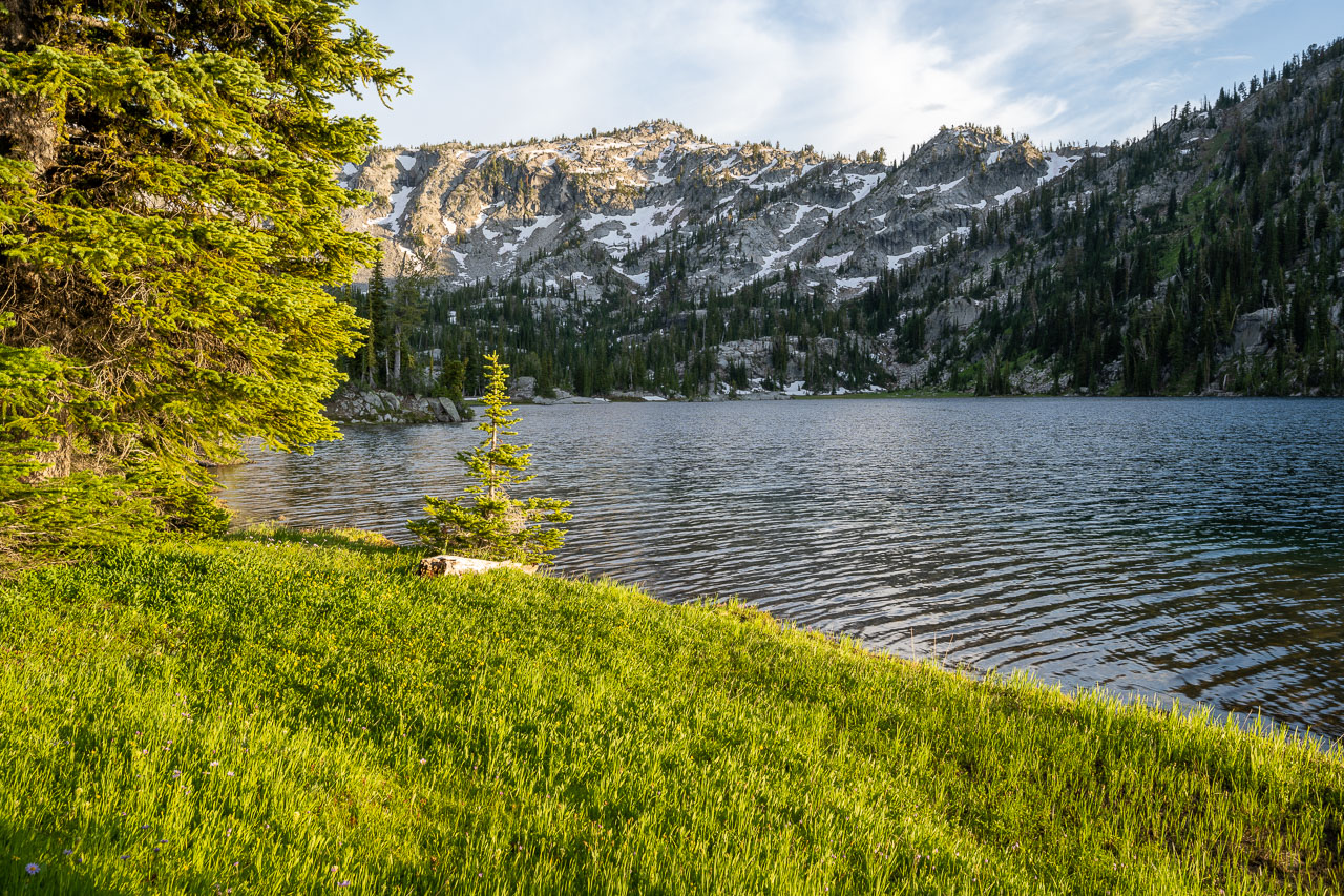
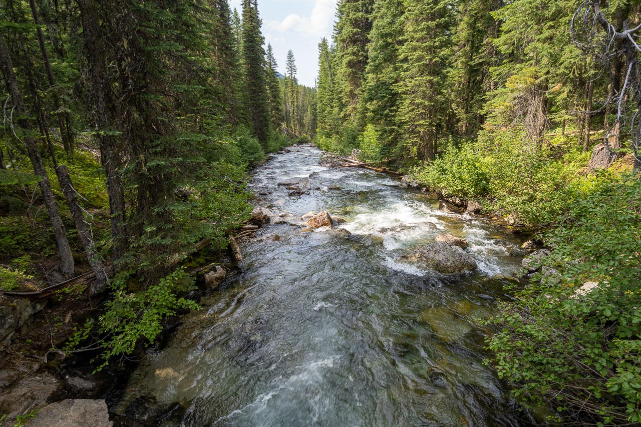
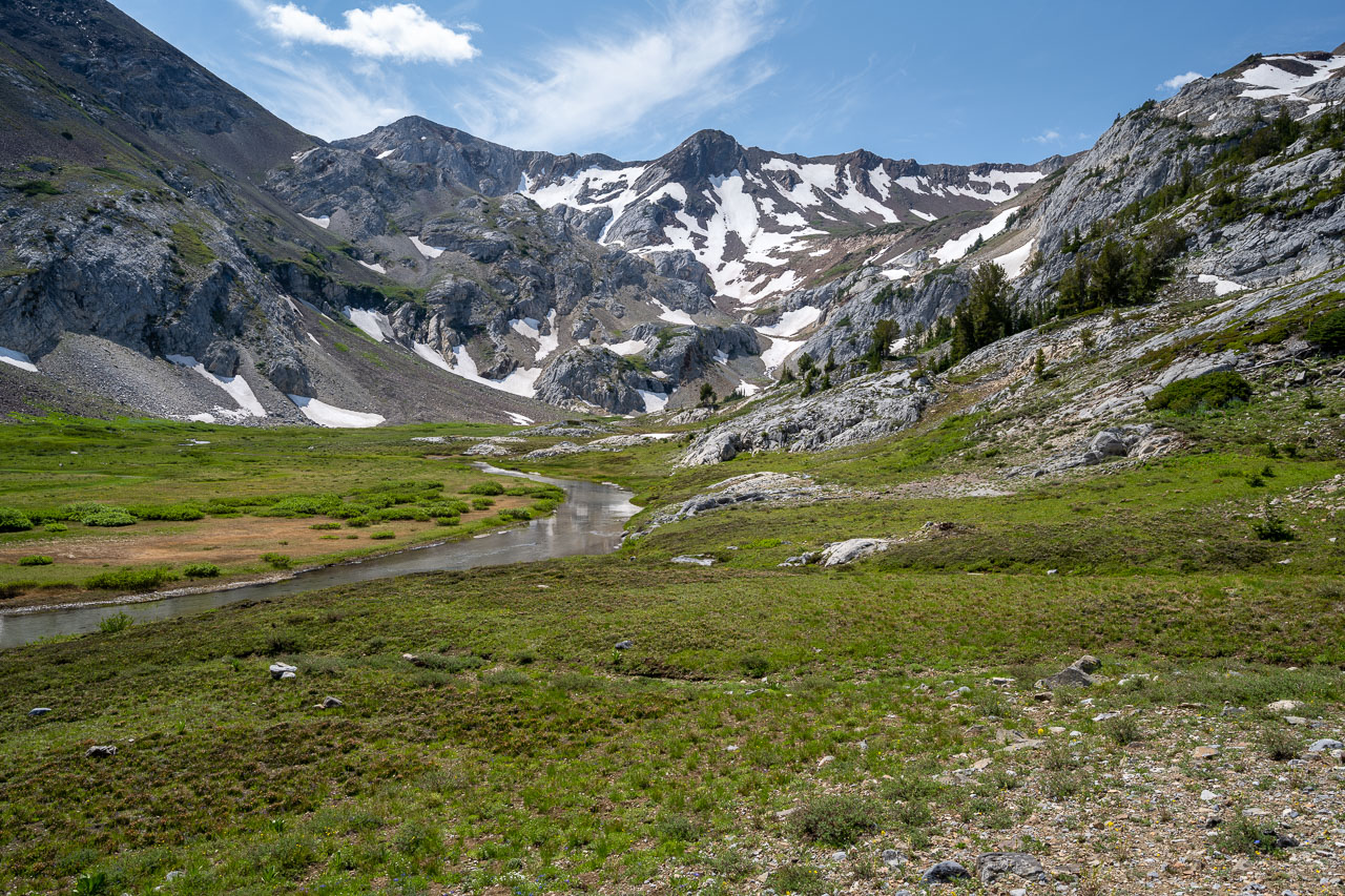
A steep descent eventually brought me down to the Minam River, which was easy to cross being so close to the headwaters. I picked up the trail on the far side of the river, then followed it for a few miles up the valley to Minam Lake. There are two Wild & Scenic Rivers flowing out of Minam Lake, the Minam and Lostine. I crossed an earthen dam on the north side of the lake and found a nice spot to camp near a creek.
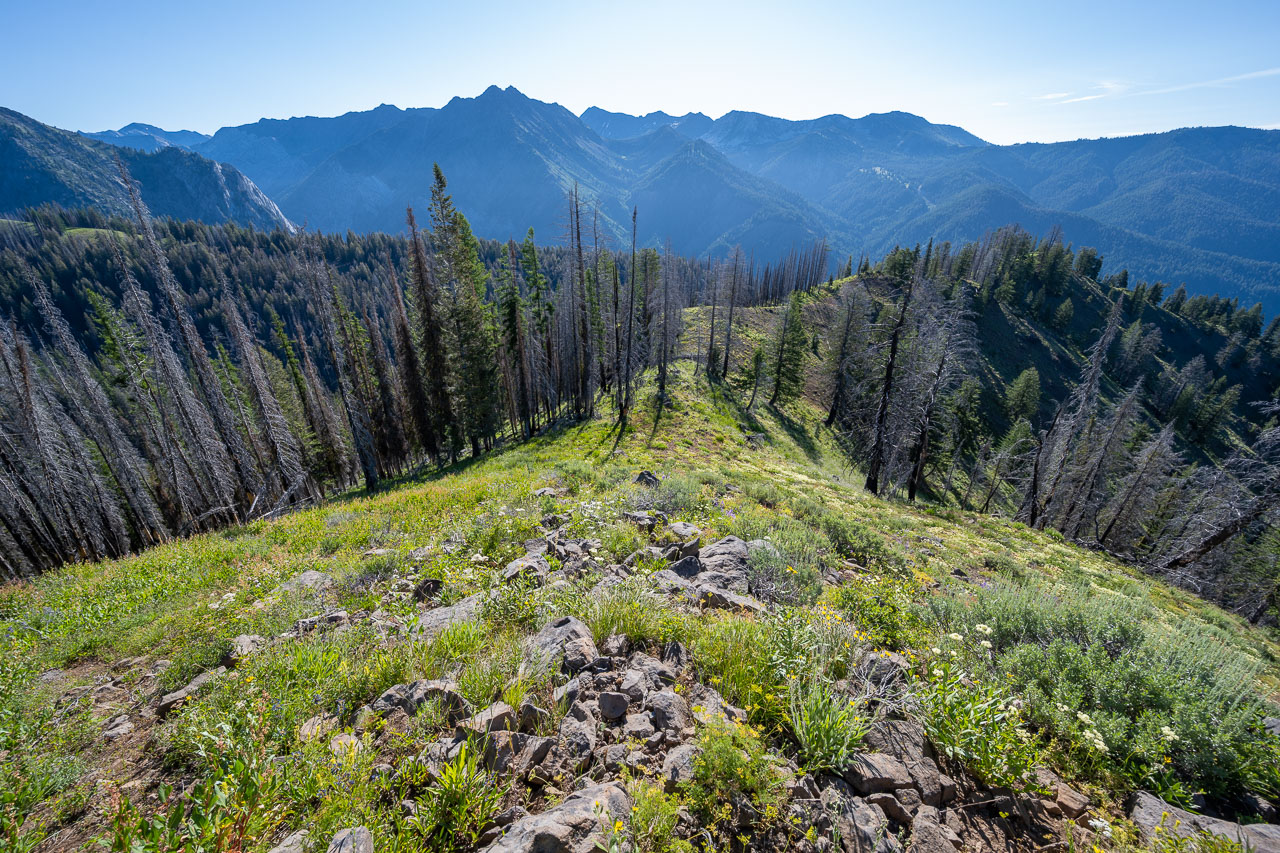
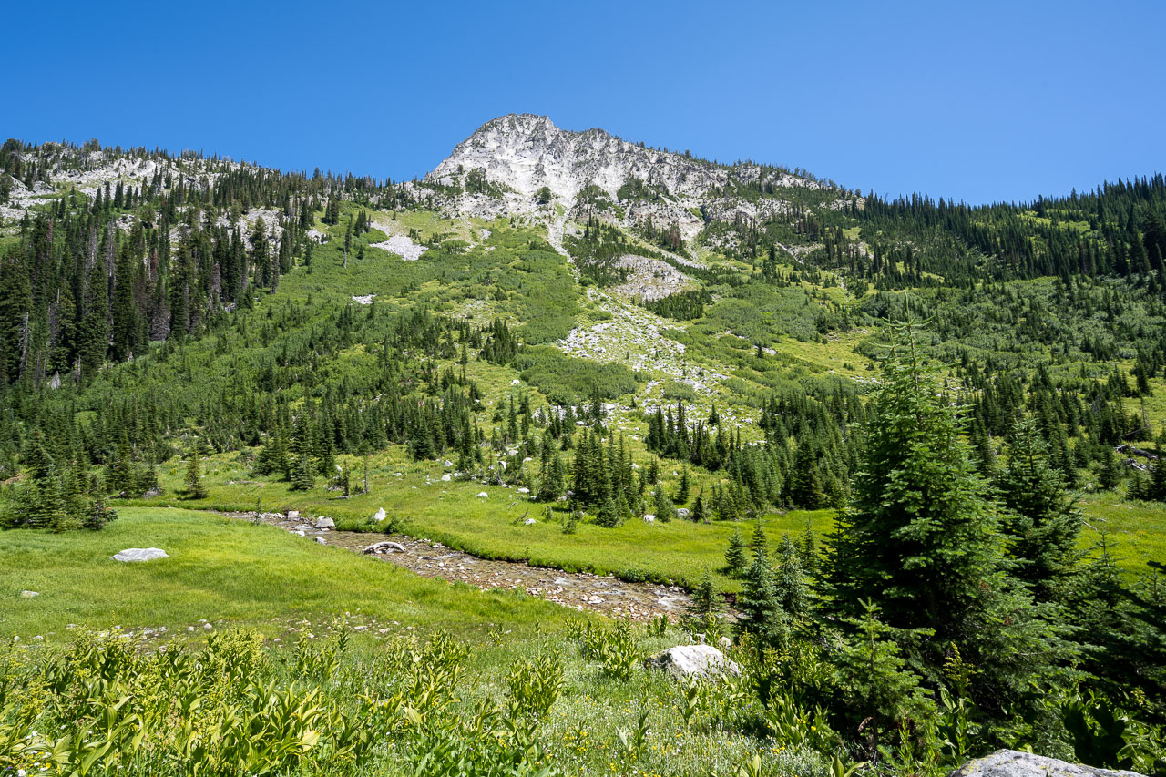
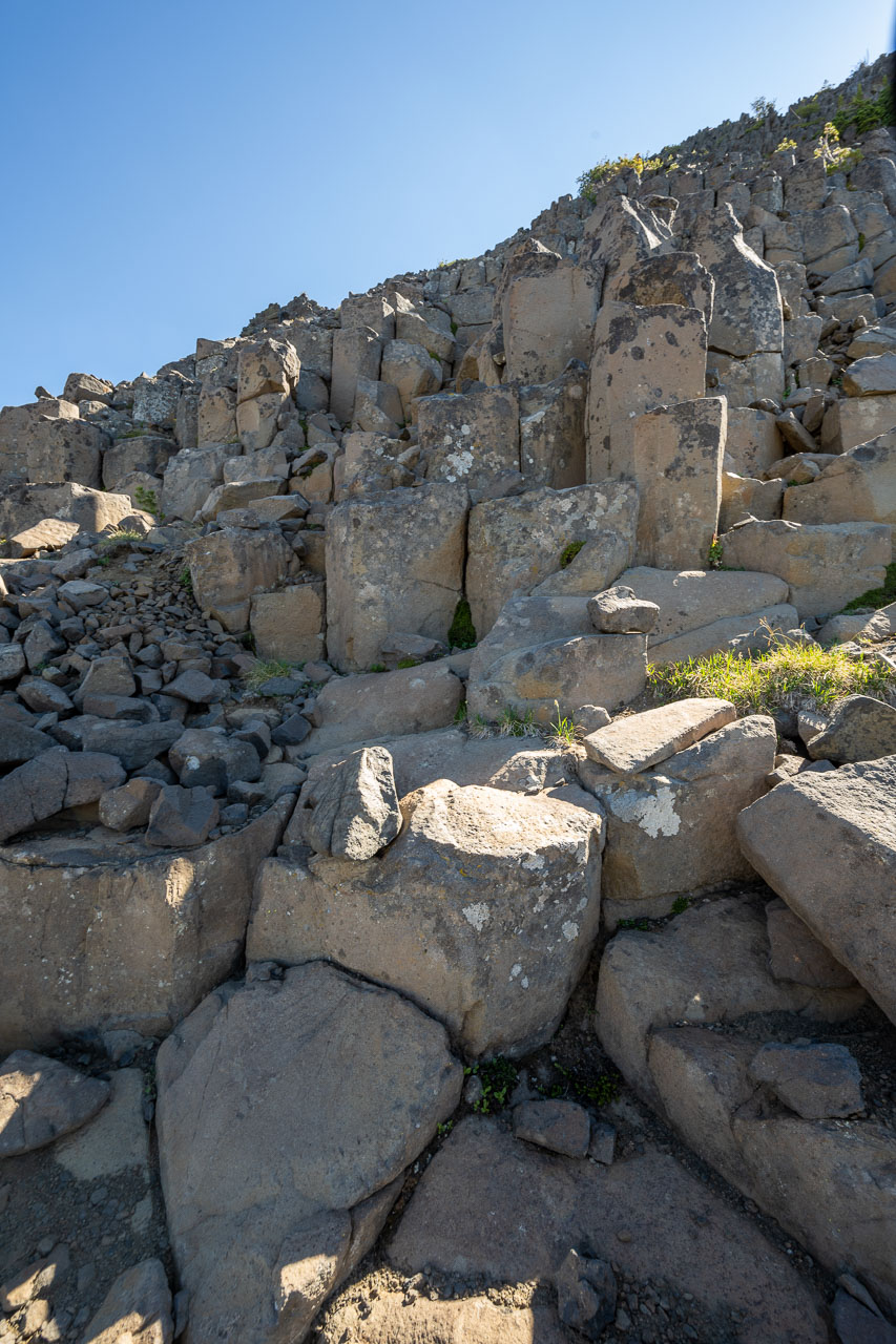
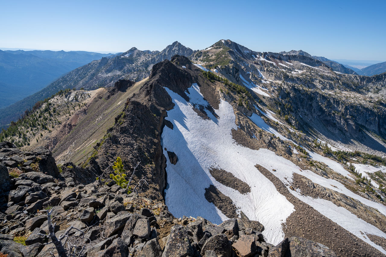
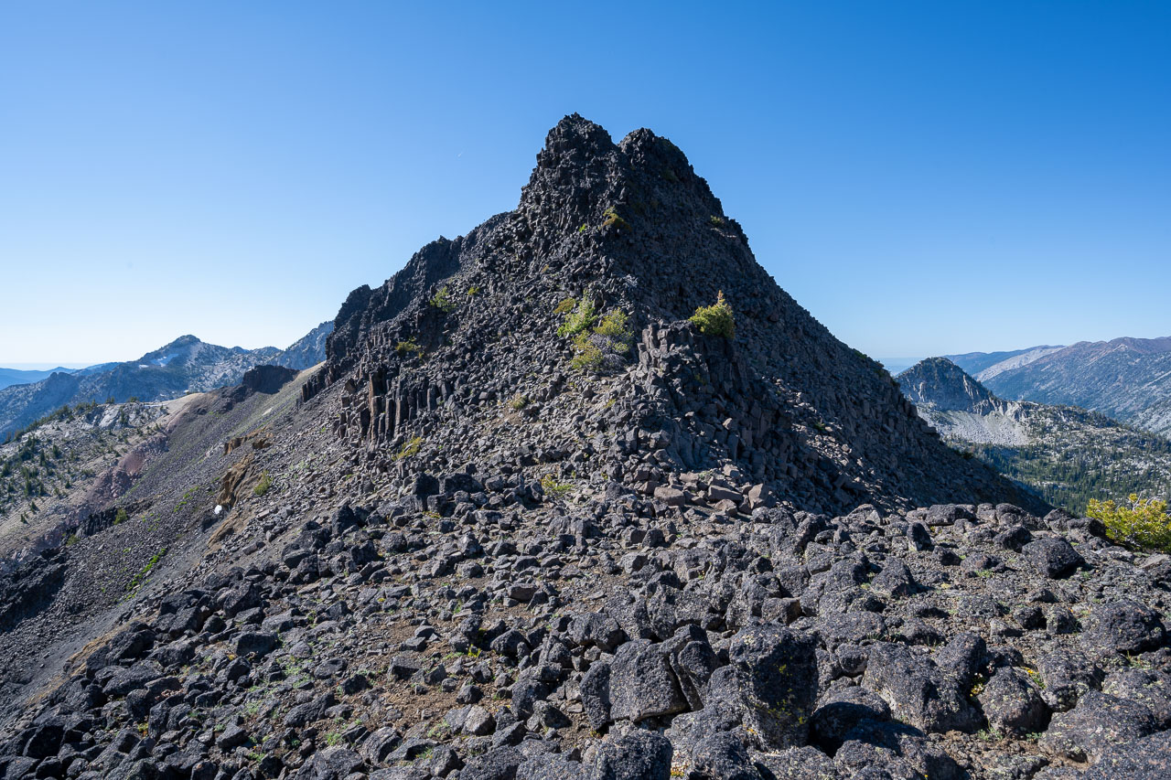
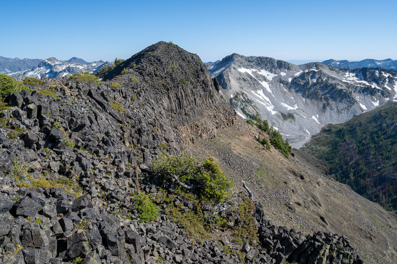
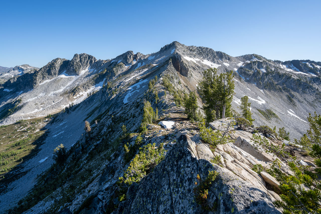
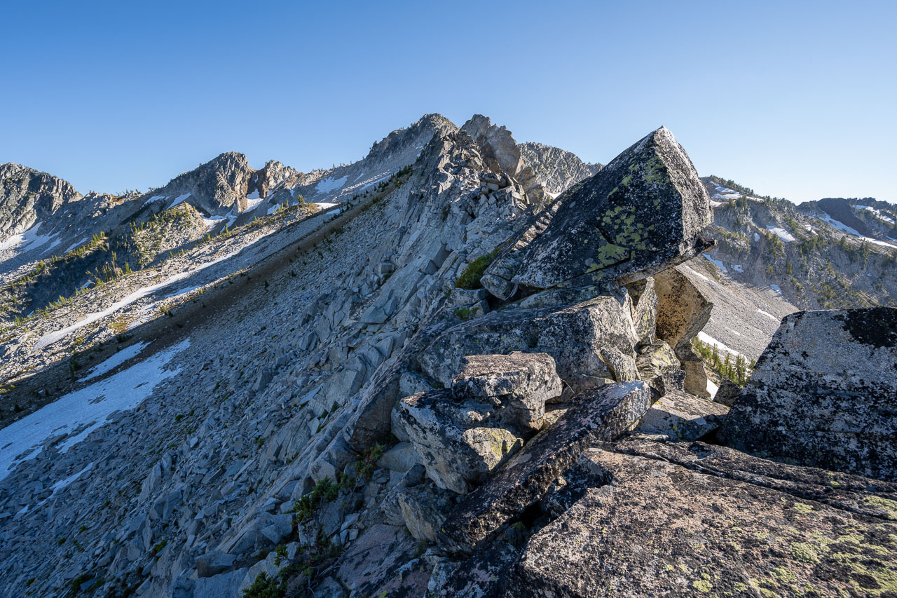
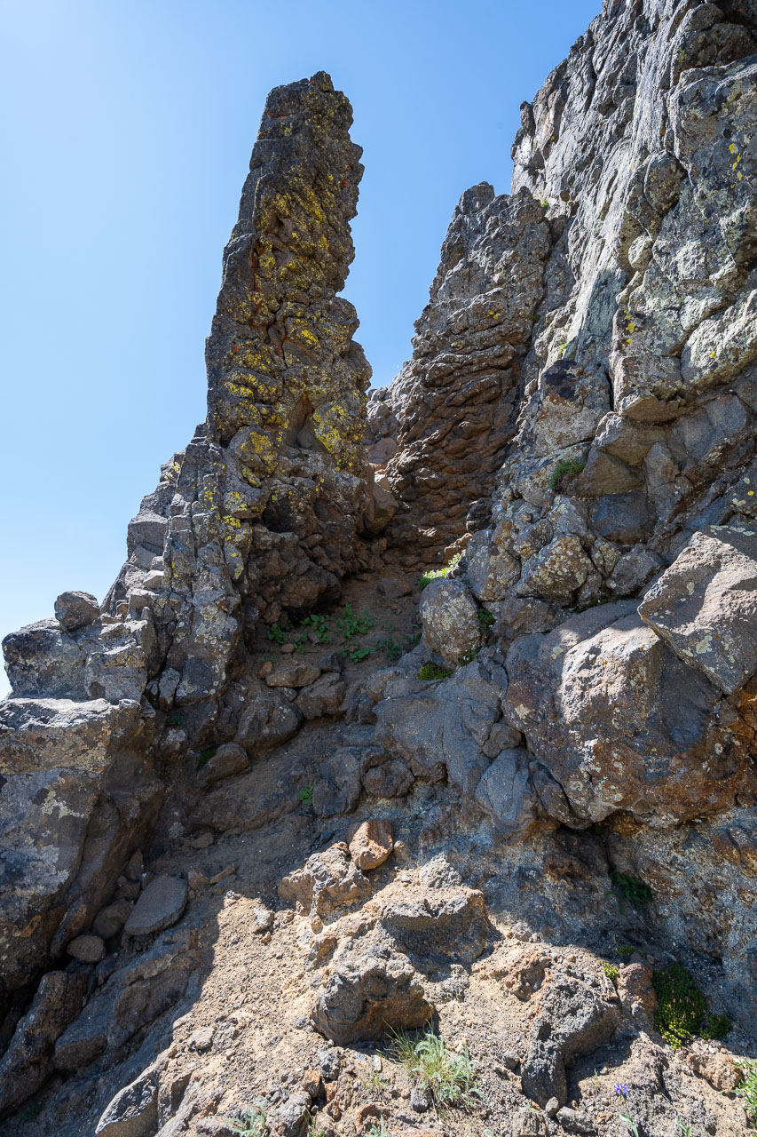
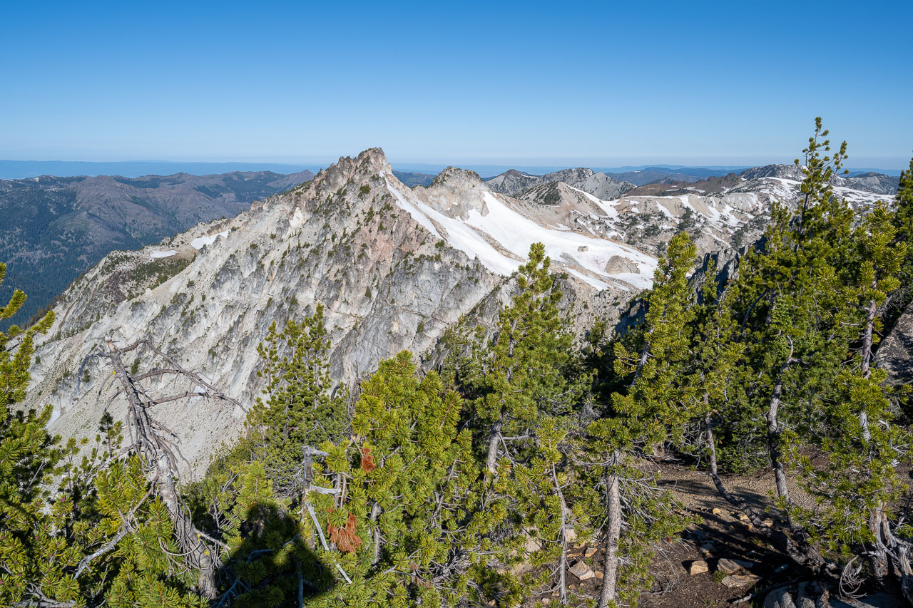
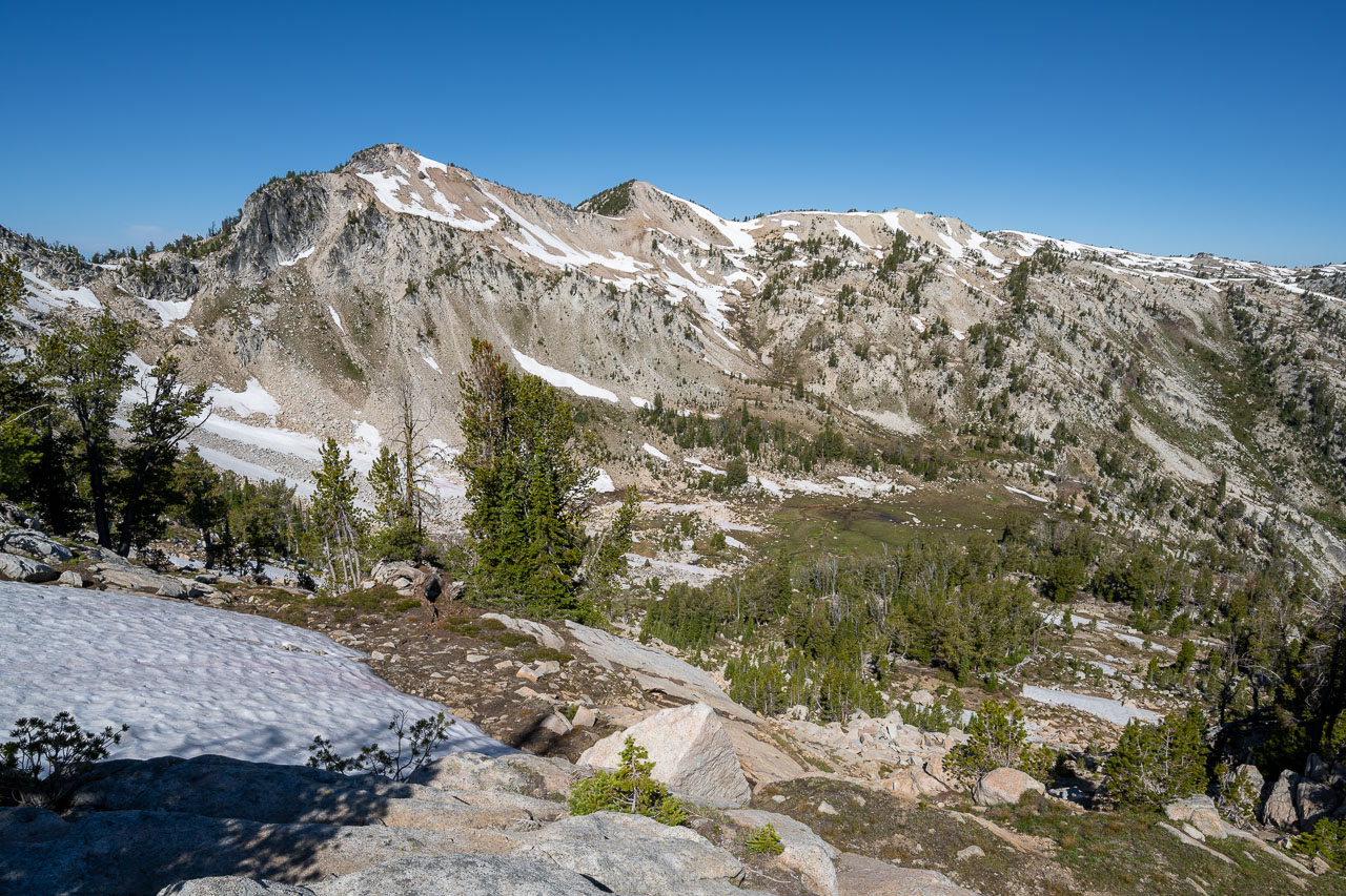
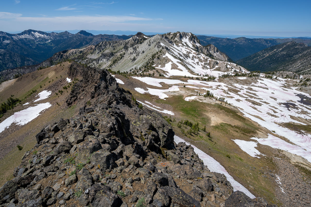
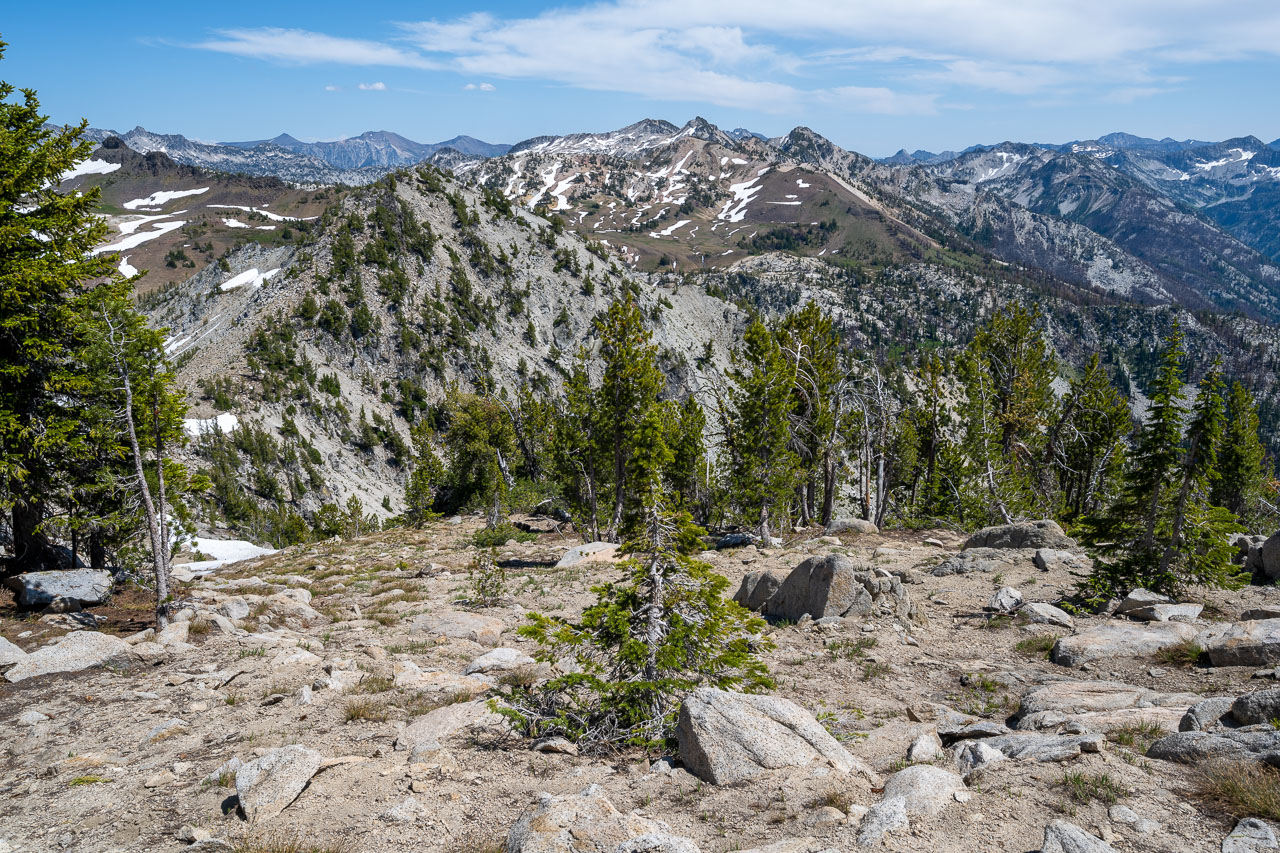
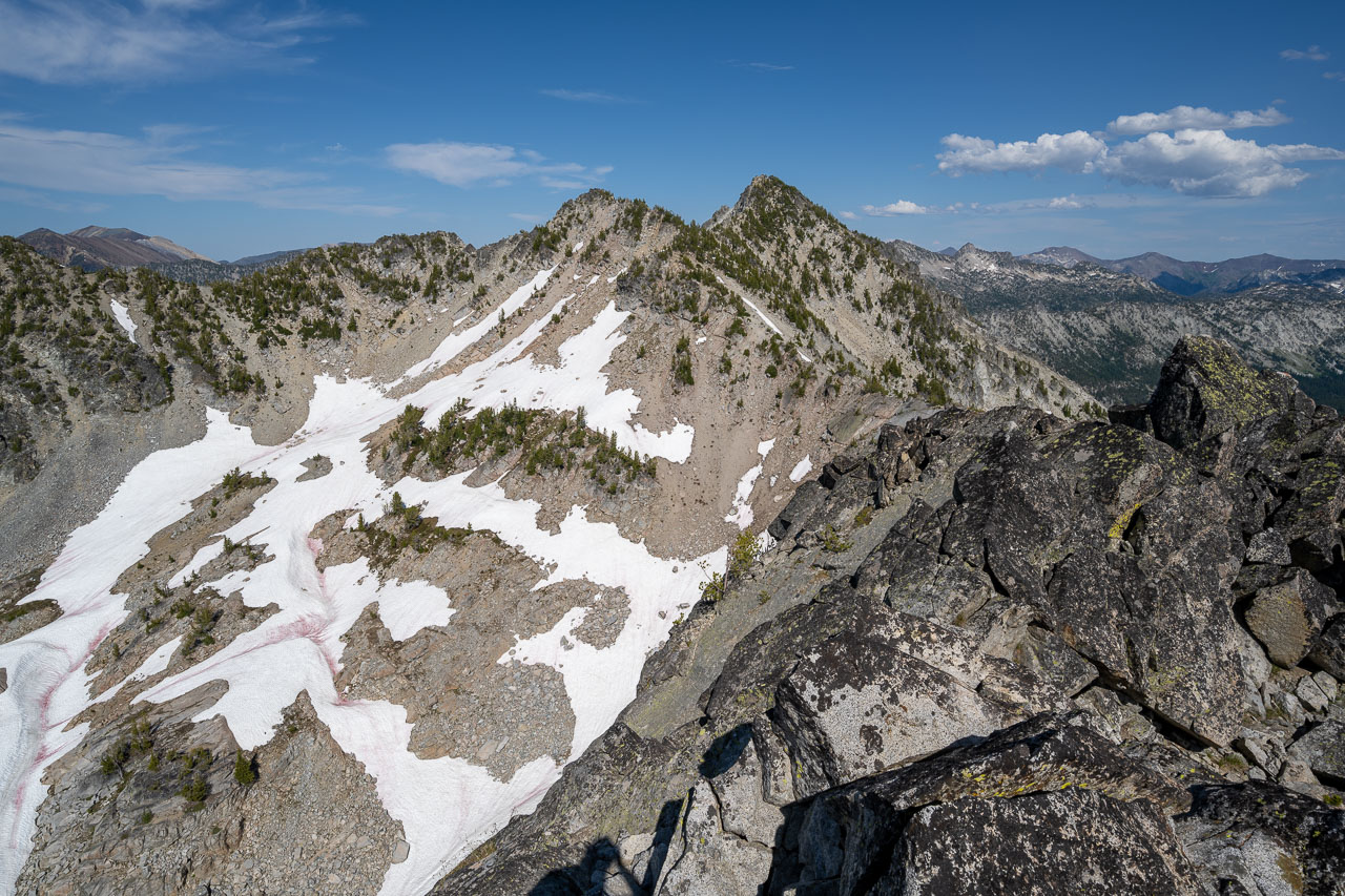
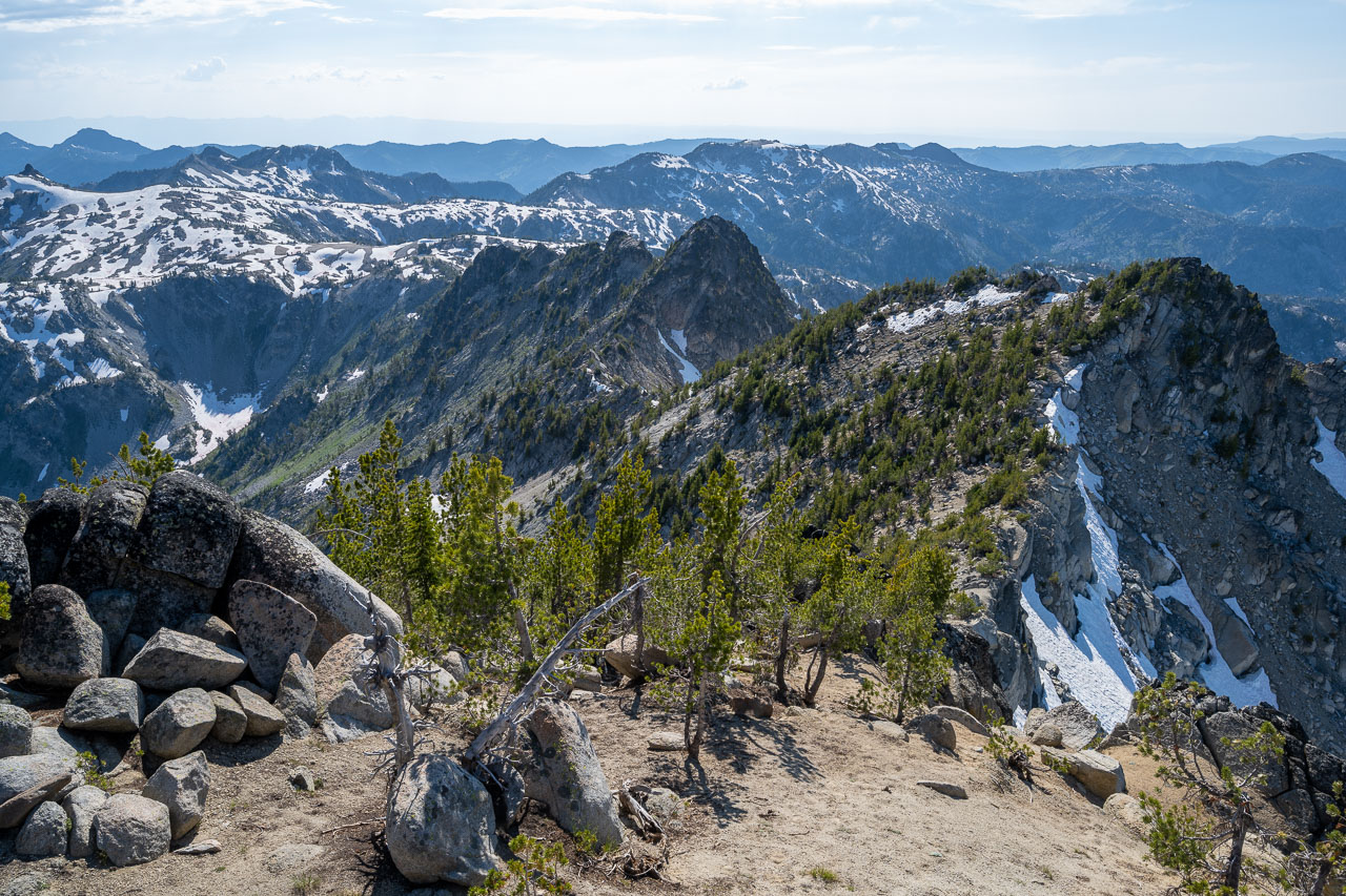
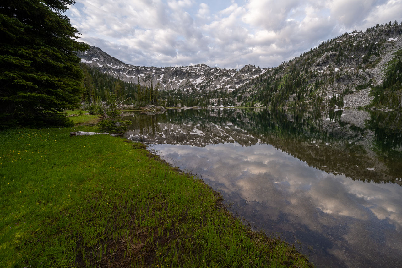
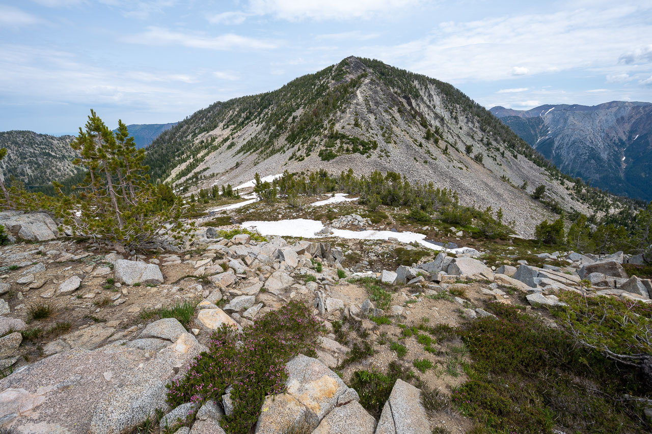
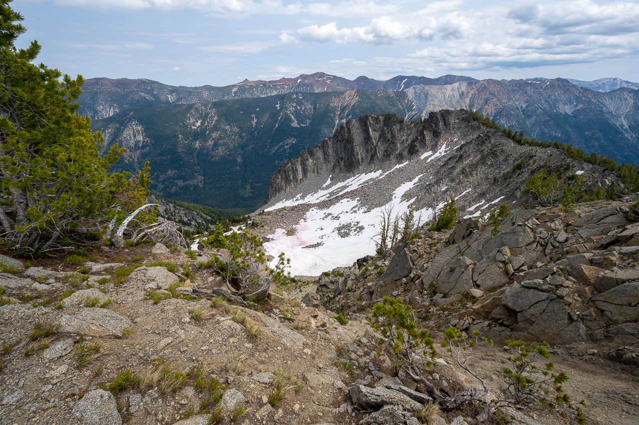
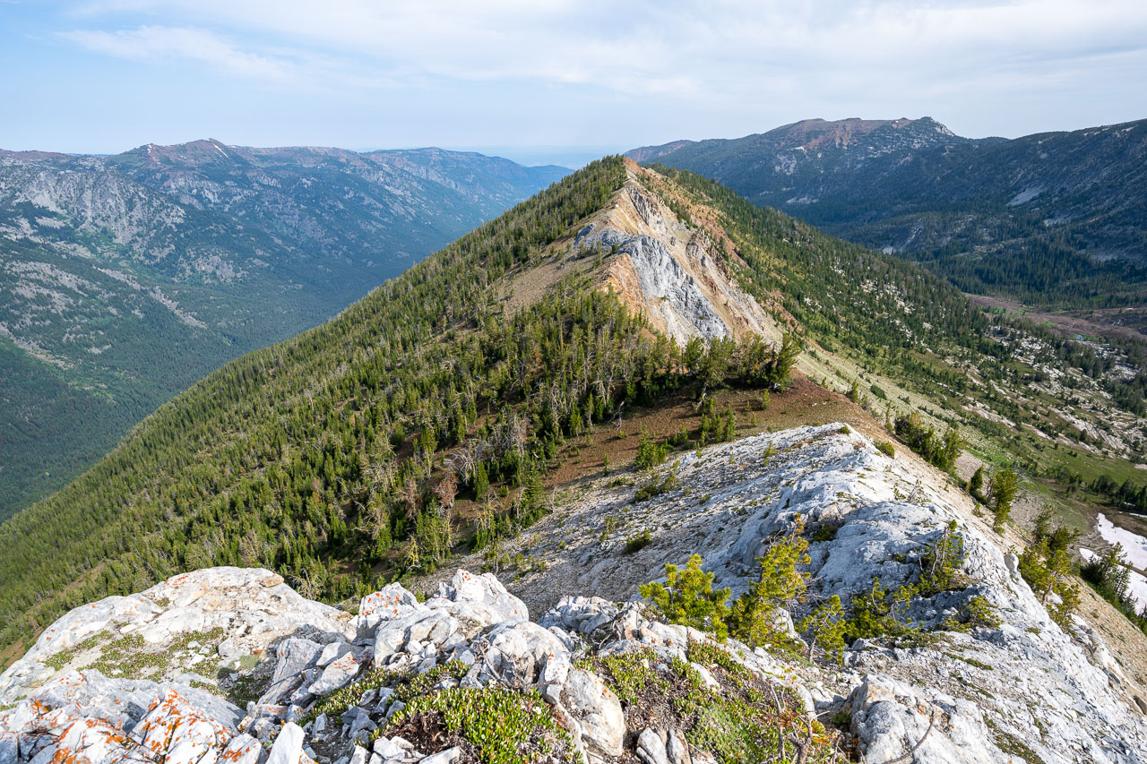
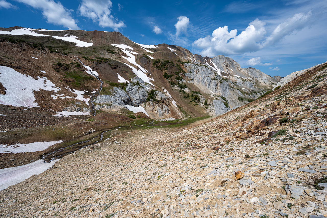
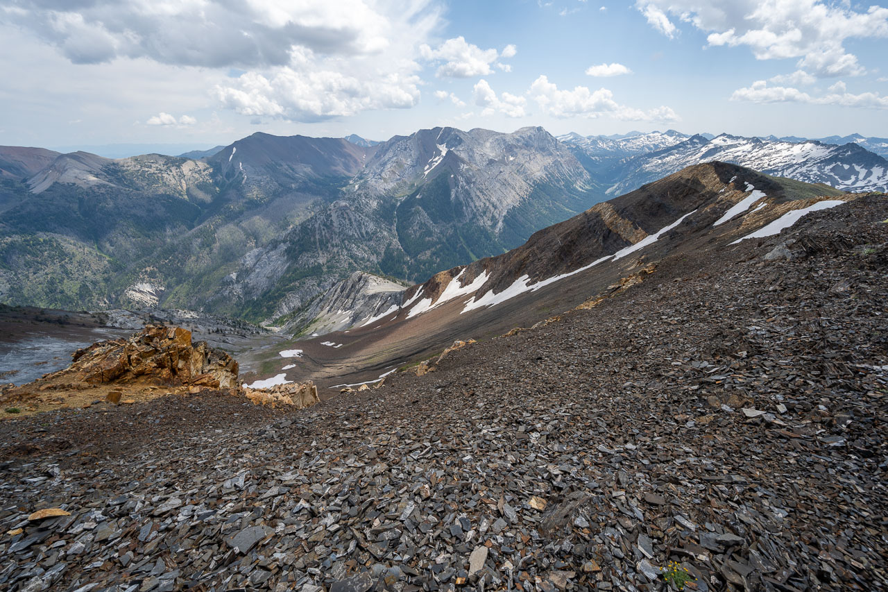
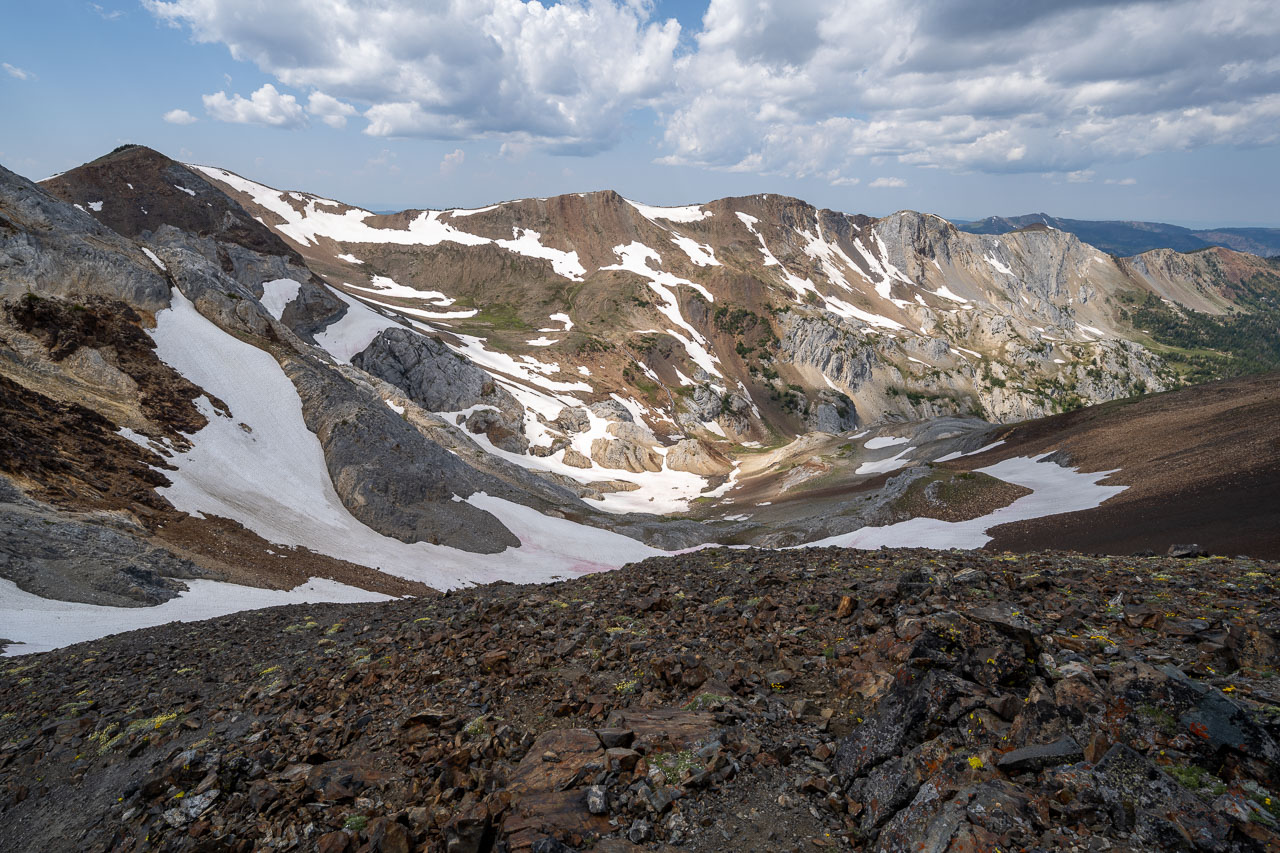
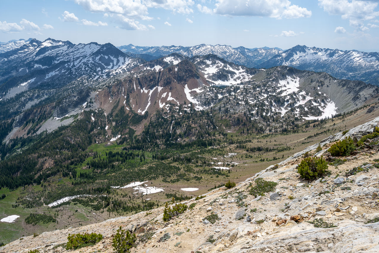
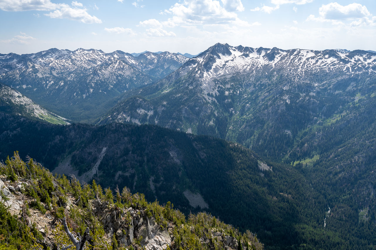
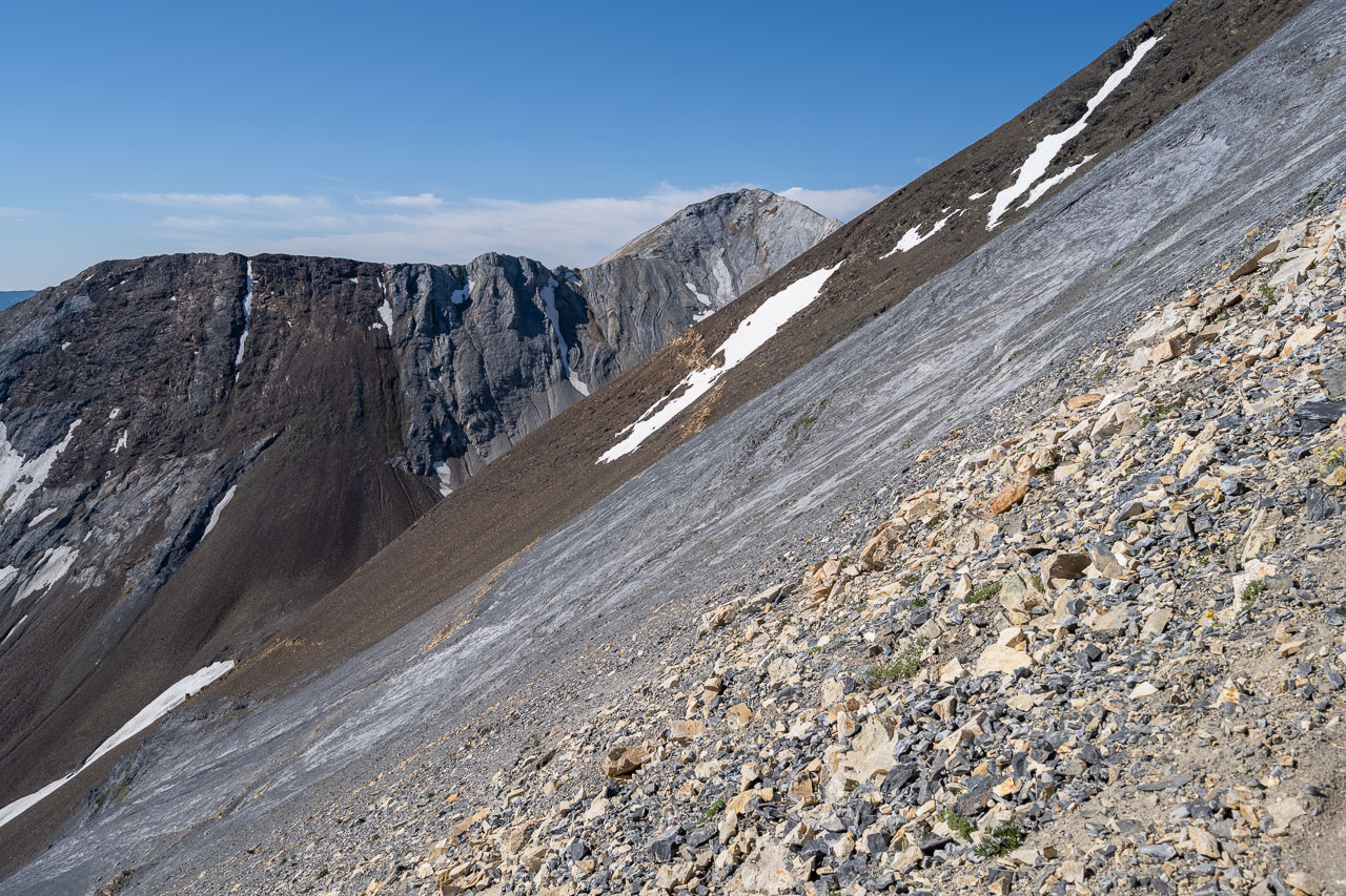
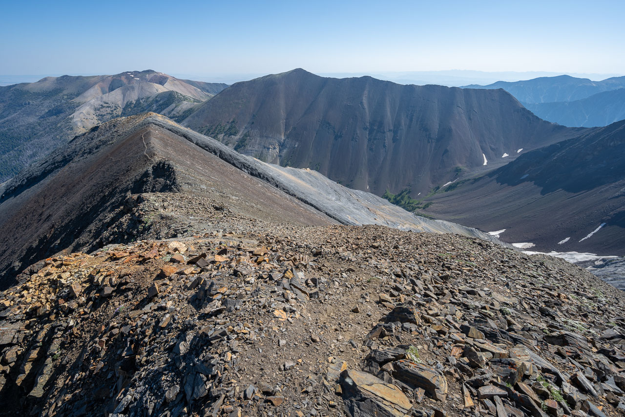
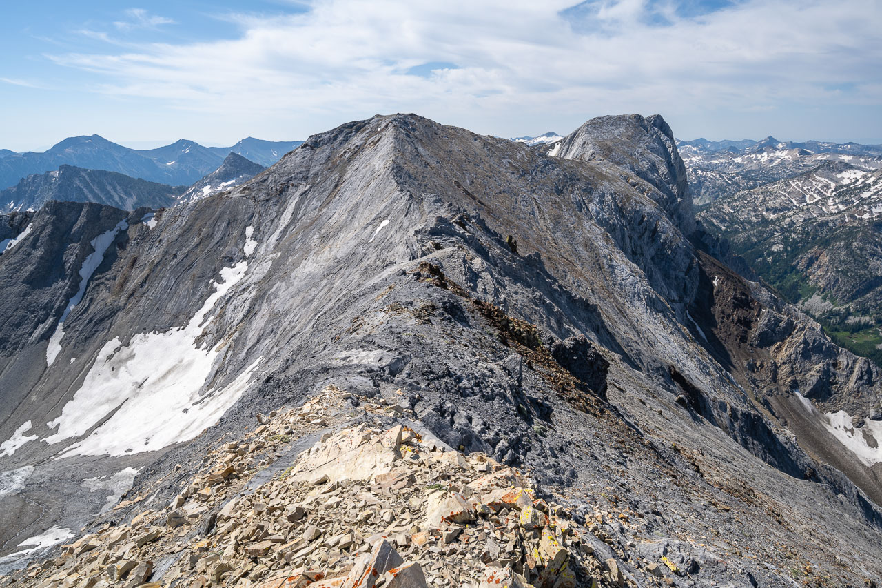
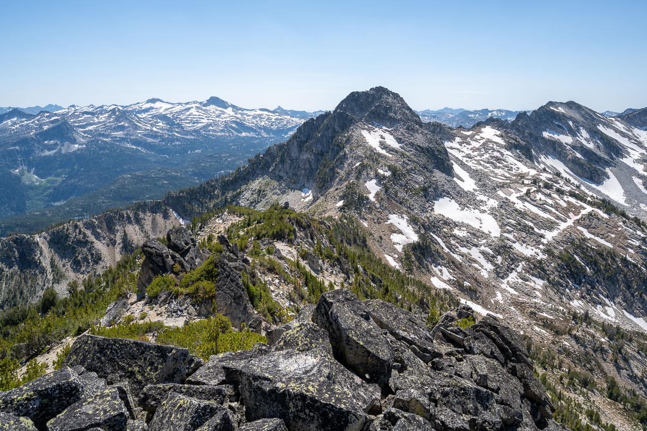
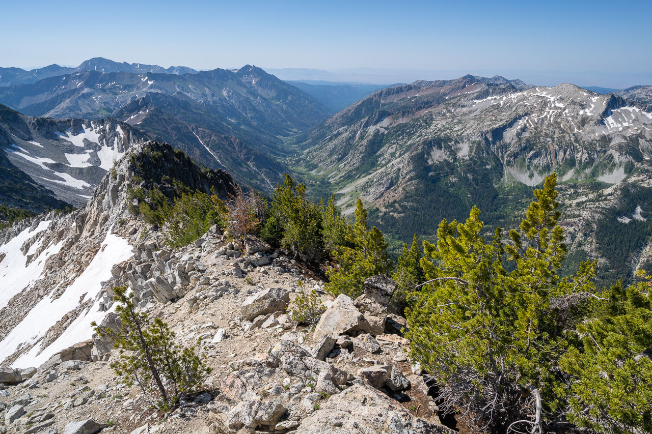
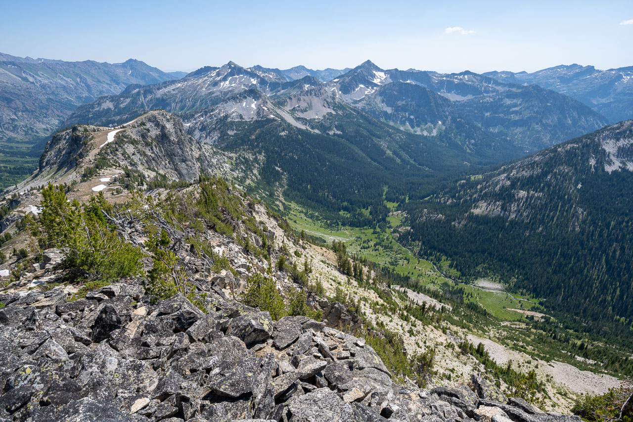
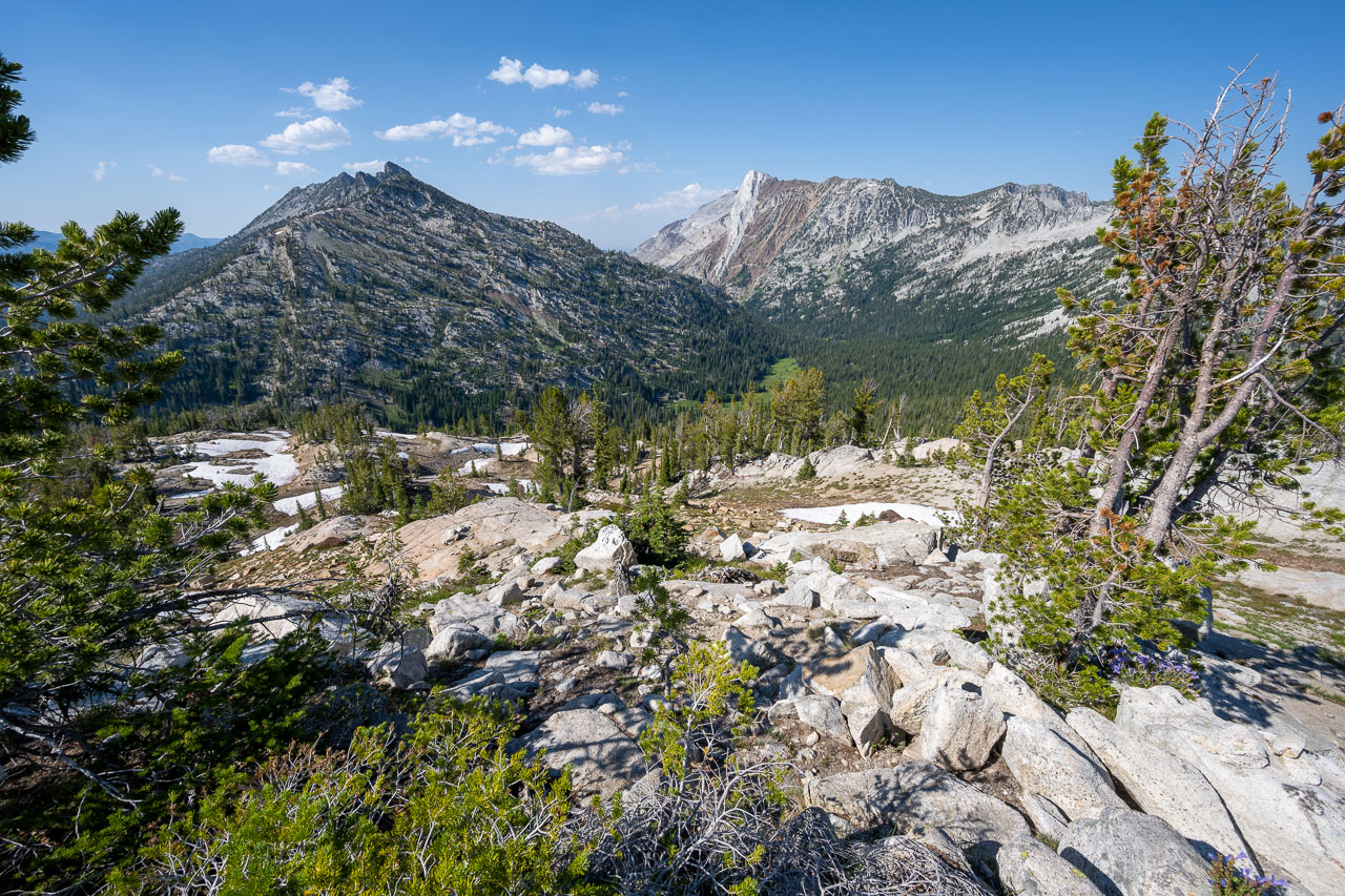
After setting up camp there was still time for an afternoon hike, so I set out to do a ridge traverse from Brown Mountain to Peak 8839. I crossed a small meadow above camp then took a grassy chute up to the east slope of Brown Mountain. Brown Mountain is one of the volcanic peaks in the area, which had some impressively large basalt columns on the east side of the peak. Some easy Class 2/3 led up to the summit. From the summit I could see the route I planned to take the following day over Glacier Mountain. I had been eyeing a narrow break in the cliff band that looked like it would work out well.
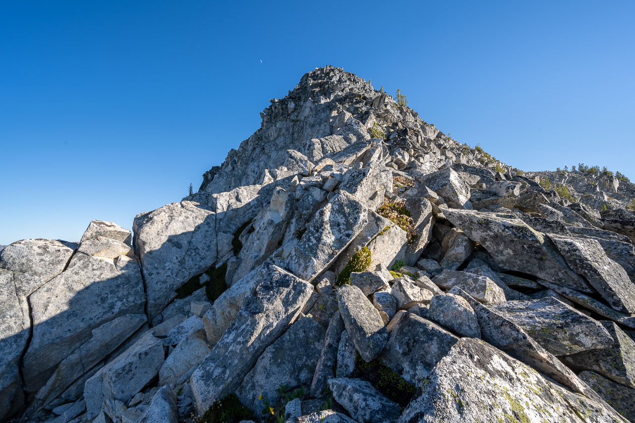
Continuing south, I found some enjoyable scrambling as I made my way toward Peak 8944. The volcanic ridgeline eventually ended in a cliff, which I bypassed by taking a steep, loose chute down to where the rock transitioned back to granite. The granite ridge had more good scrambling. I stuck mainly to the ridge although I did bypass one steep section near the end after I dislodged a large boulder. From the summit I could see Needle Point that I had stood on earlier that morning. I also had a good vantage point into the remote Wild Sheep Creek drainage. The lake there appears to be slowly disappearing from all the sediment and debris coming off Brown Mountain. To get back to camp I dropped down the east slope toward Blue Lake. I picked up the trail at the edge of the lake, then followed that back to my campsite at Minam Lake.
13.0 Miles, 5850 Gain
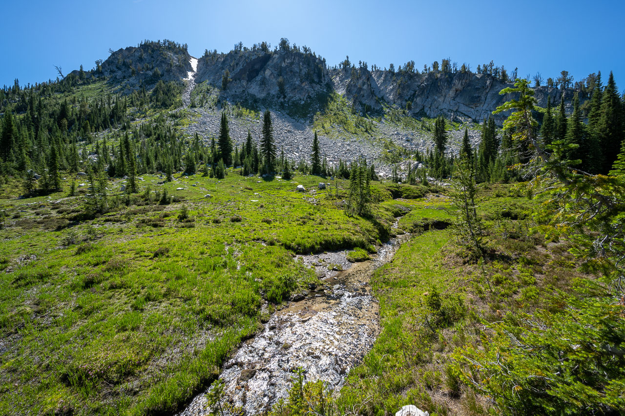
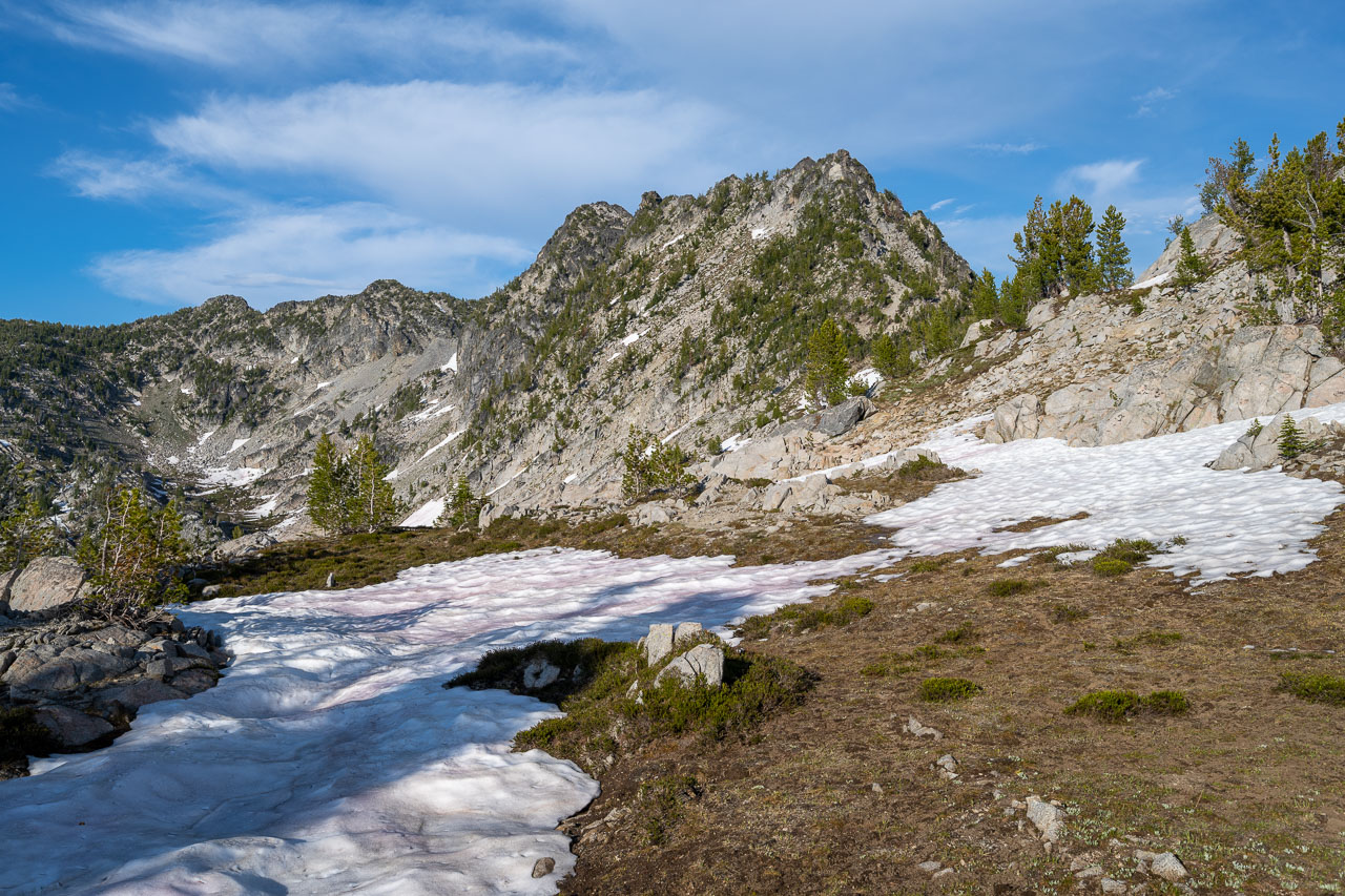
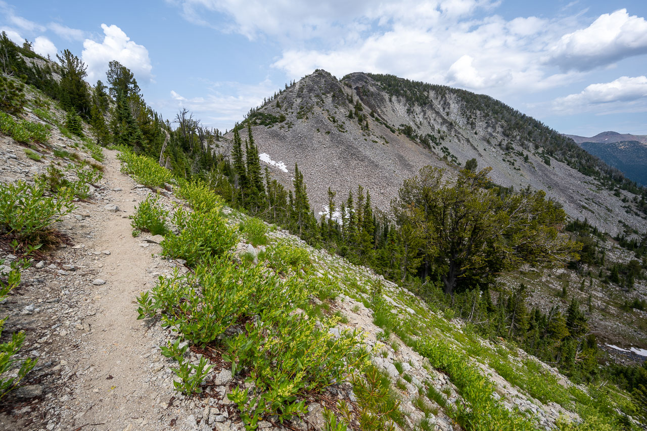
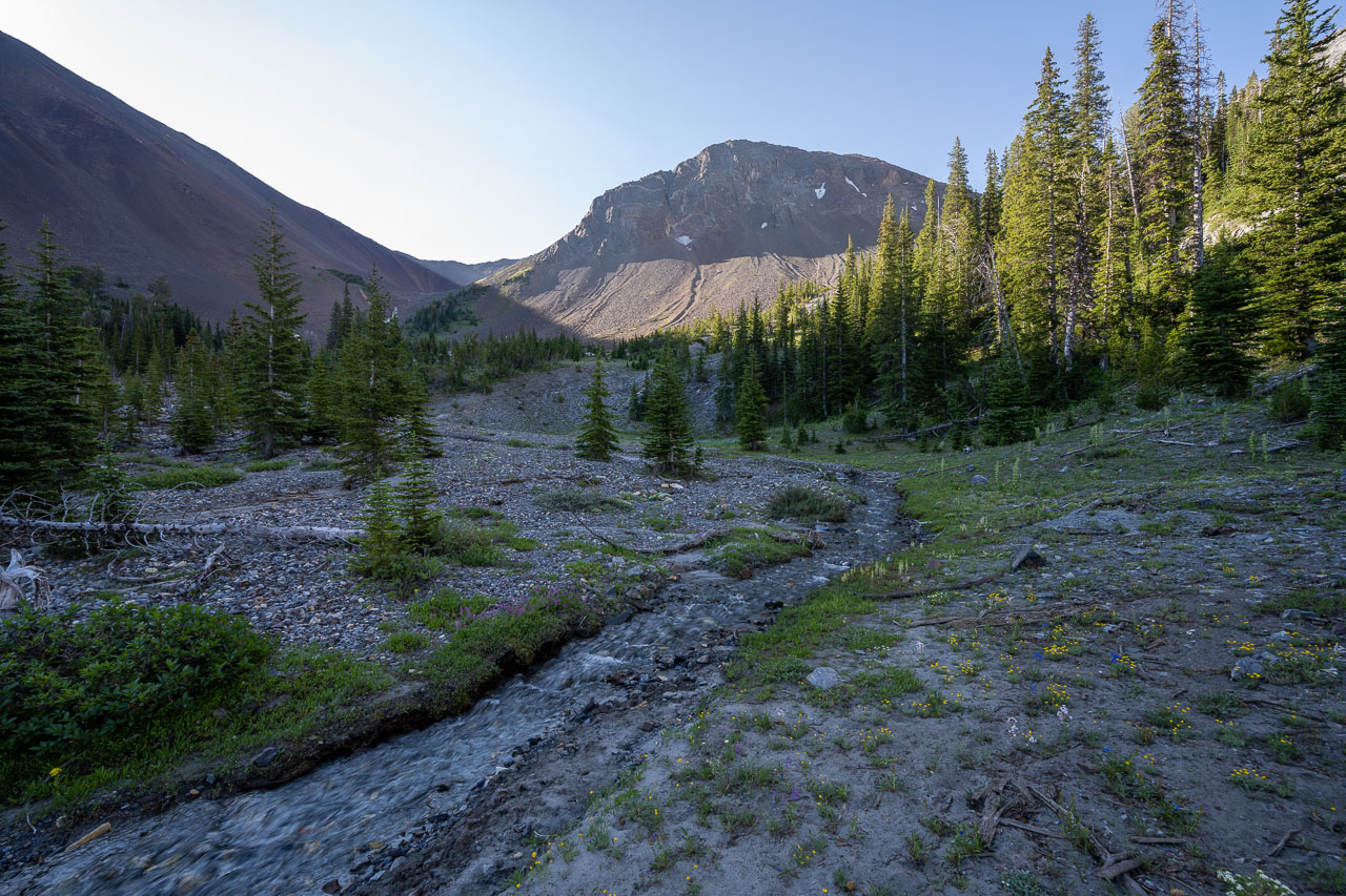
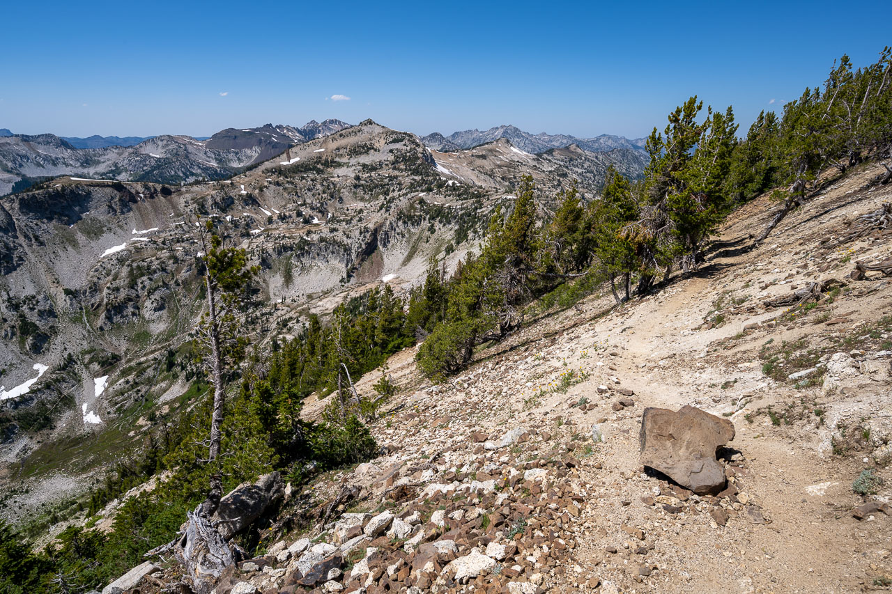
My plan for the day was to reach Steamboat Lake. I could have used a trail leading up Copper and Elkhorn Creek, but that would keep me down in the valley, away from the peaks in the area. Instead of doing that, I was planning to take a high route up near the ridgeline. I was mainly interested in Glacier Mountain, but I had picked out a few other unnamed peaks in the area that would help fill out the day. If I had enough time, I was planning to include Elkhorn Peak at the end of the day.
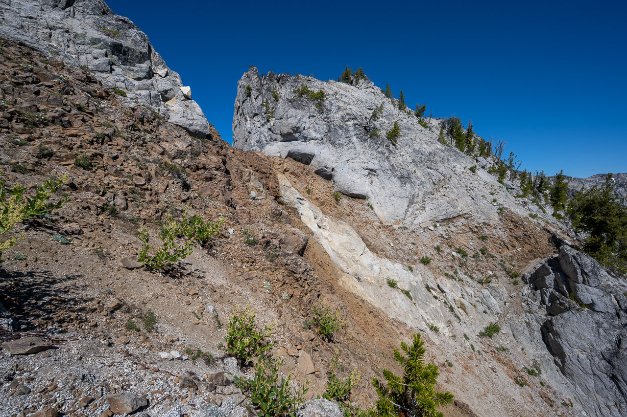
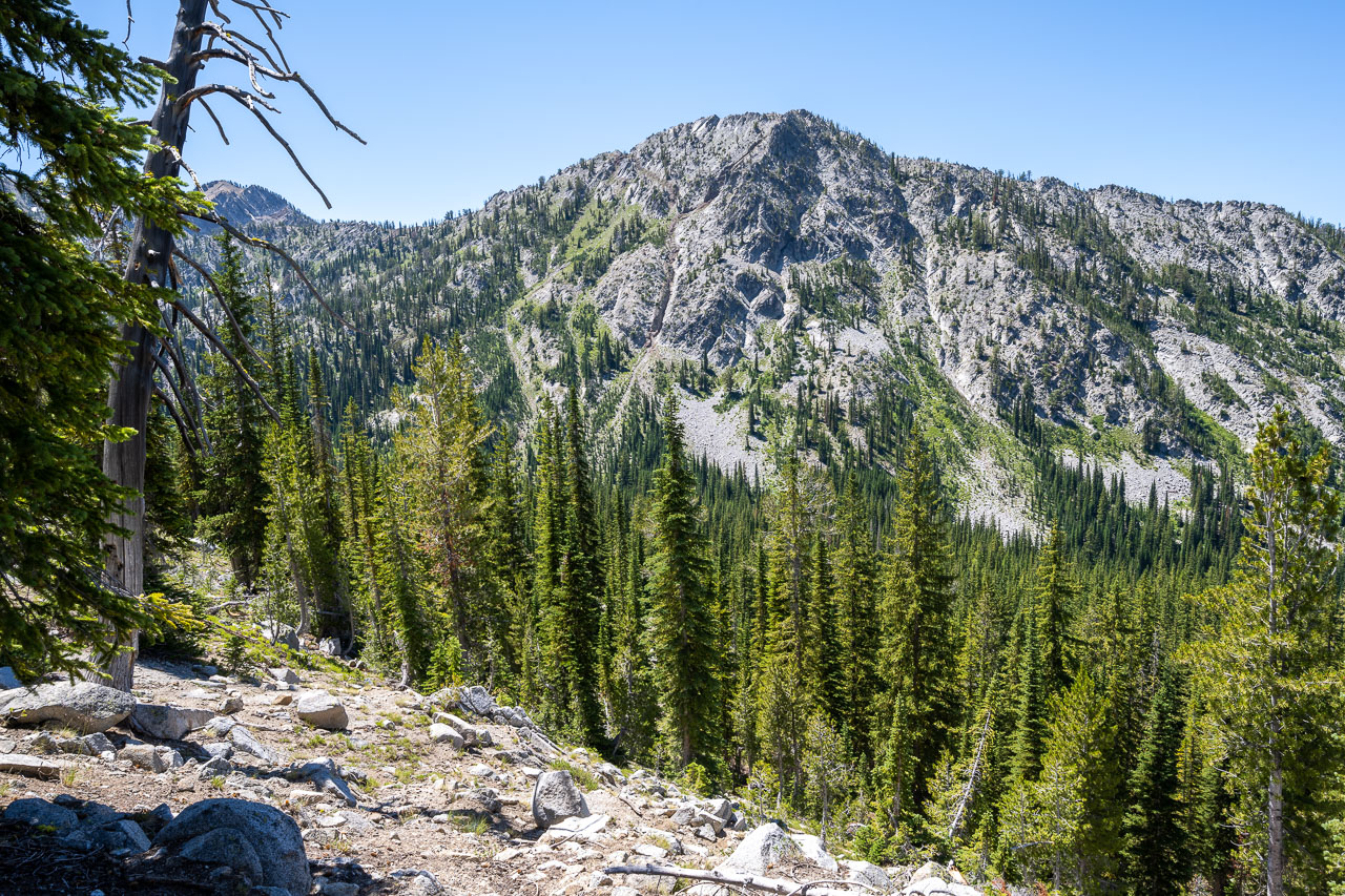
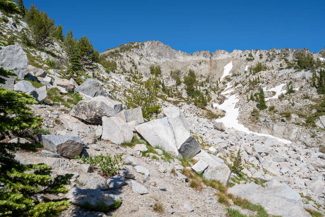
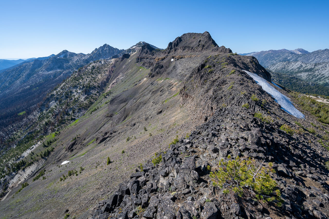
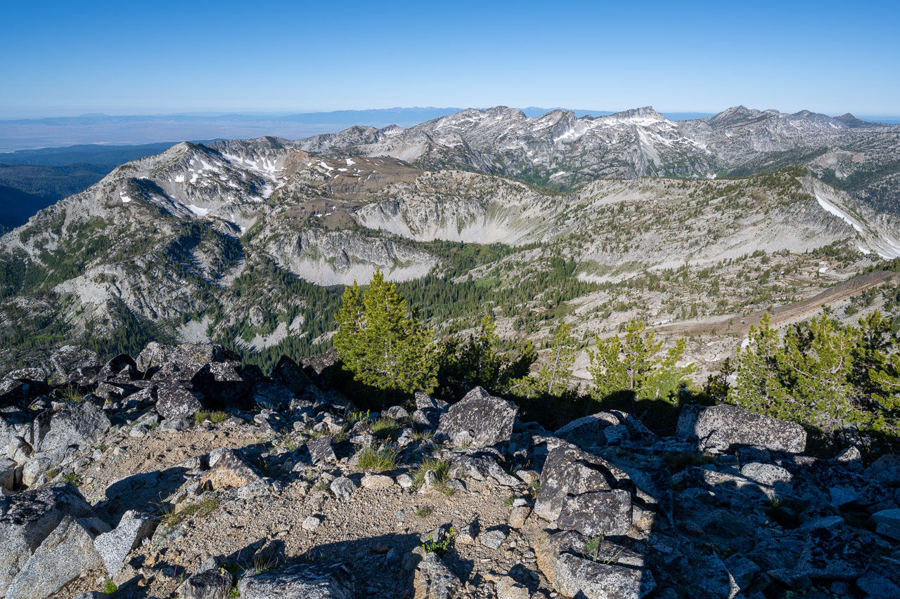
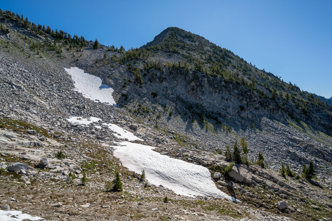
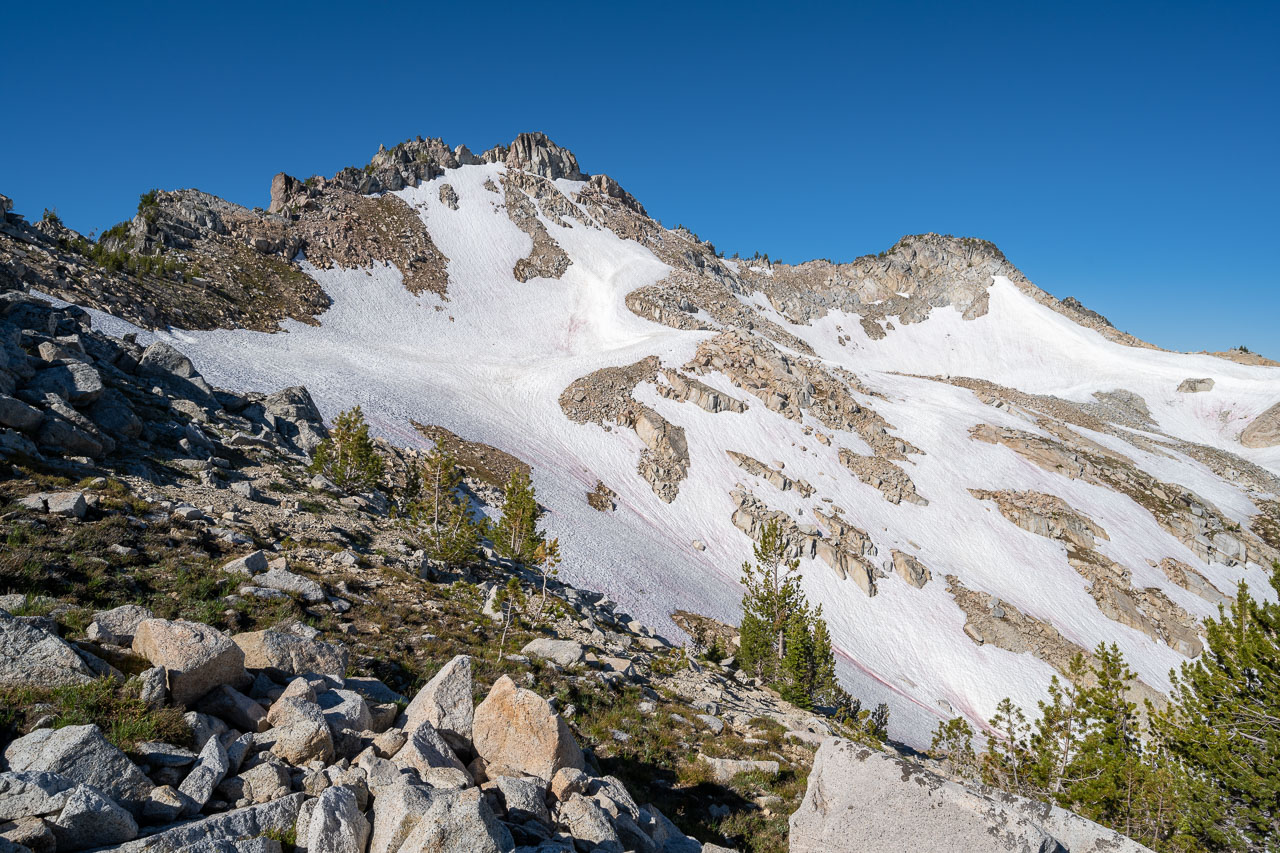
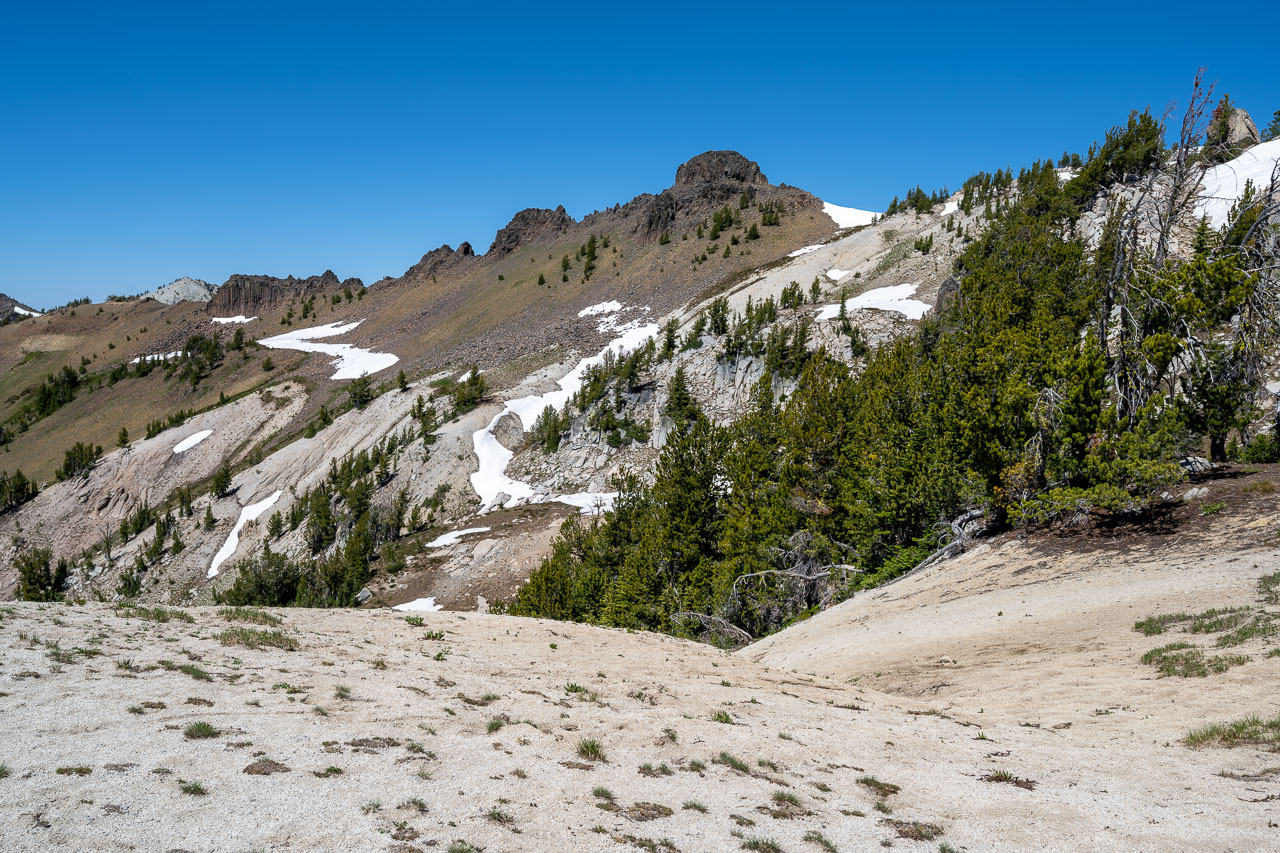
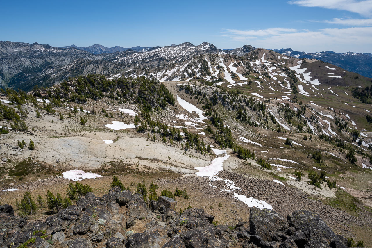
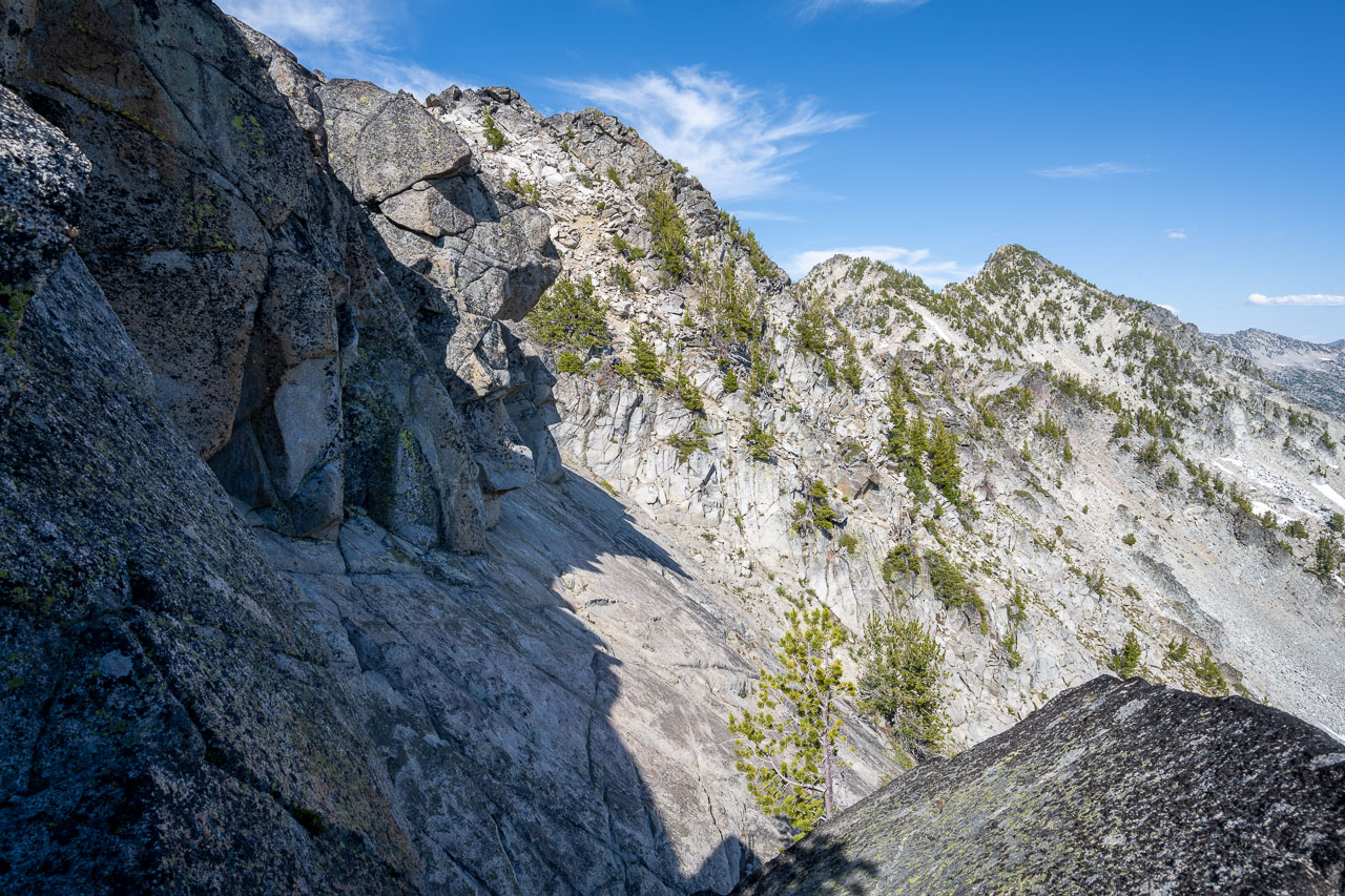
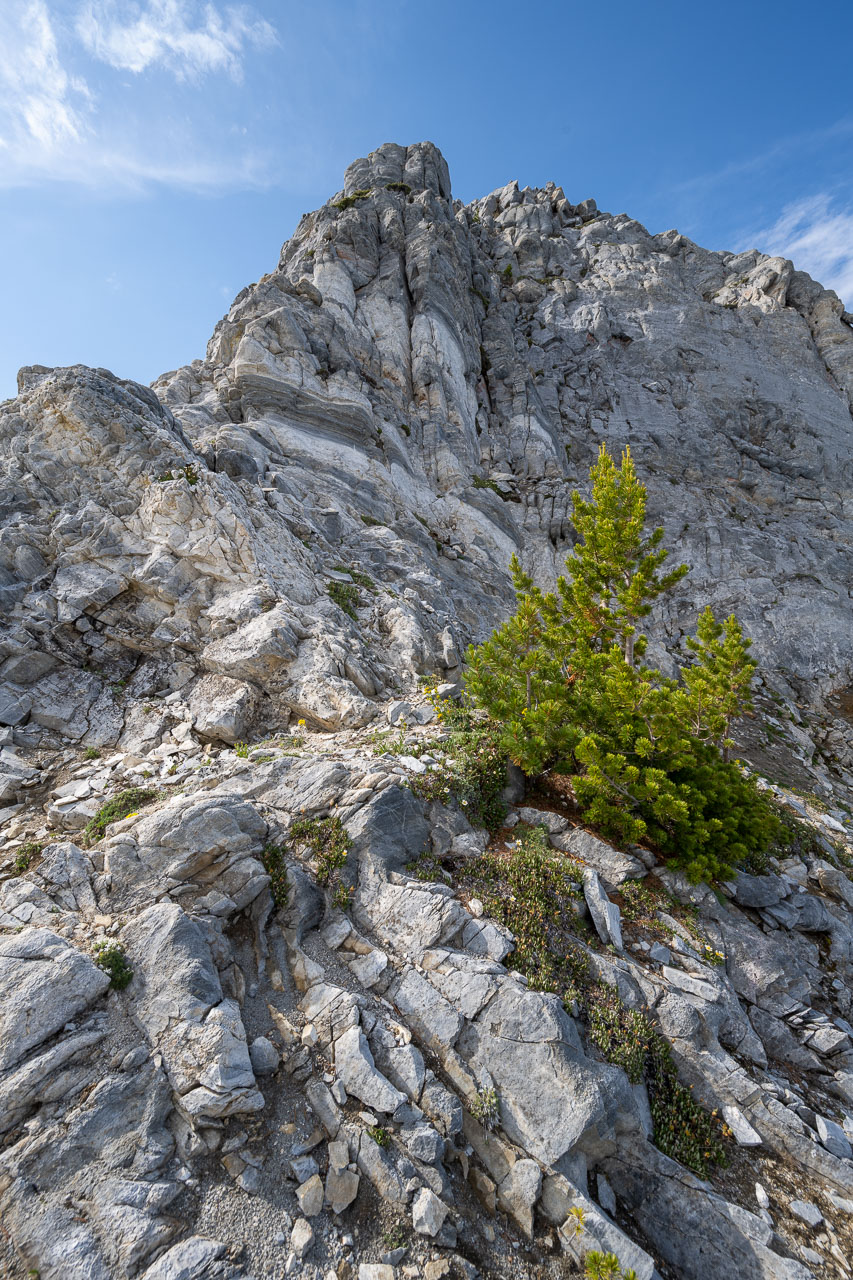
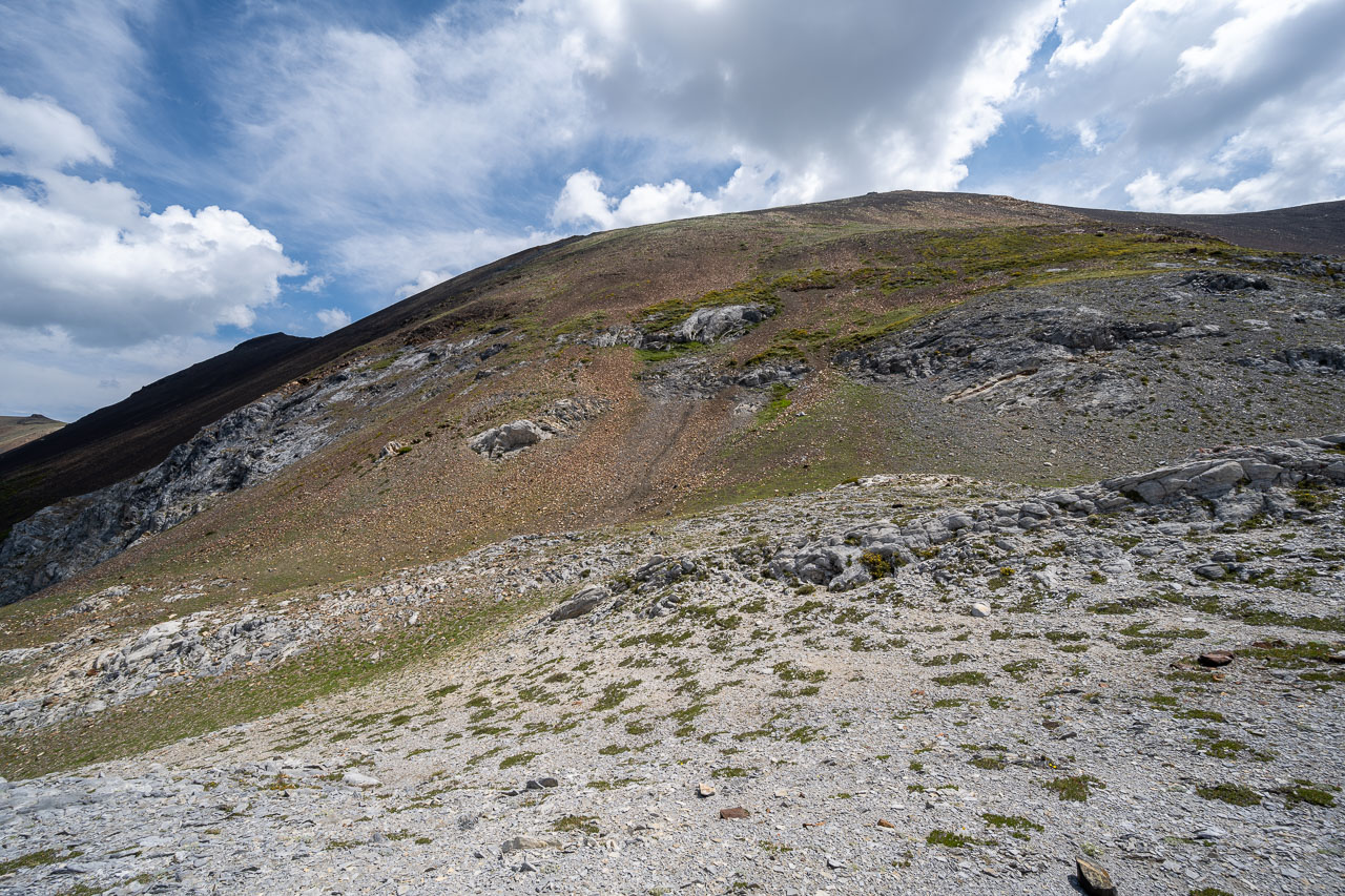
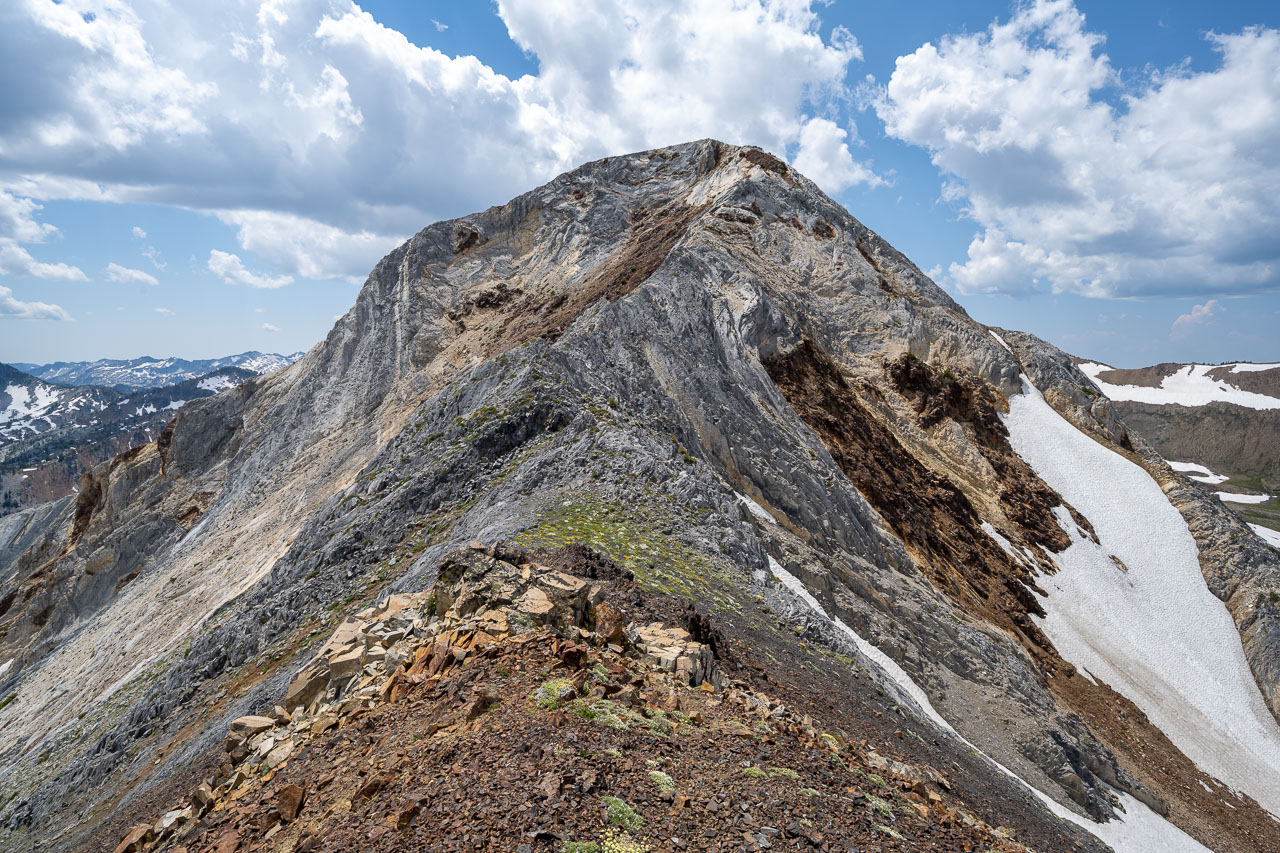
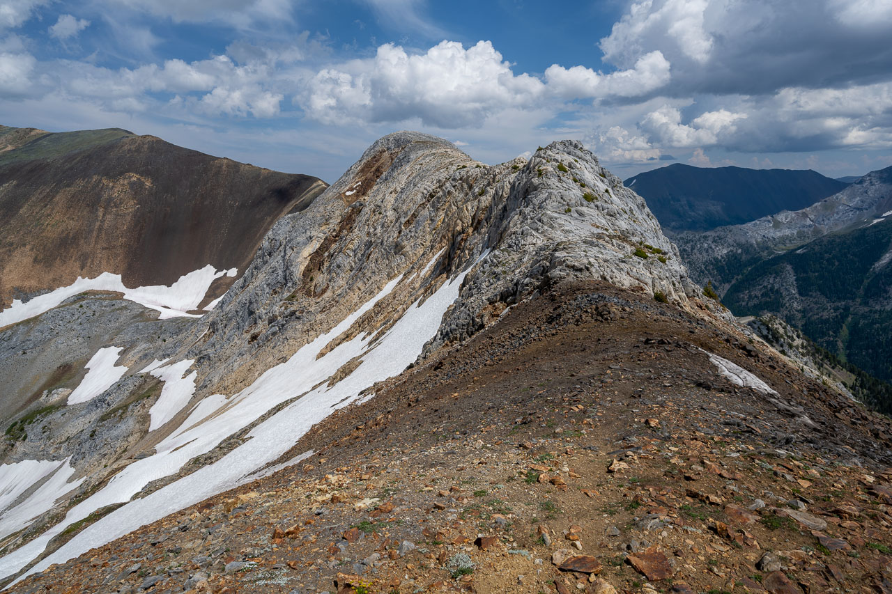
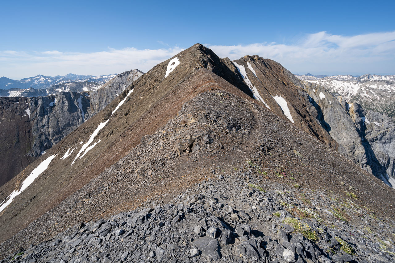
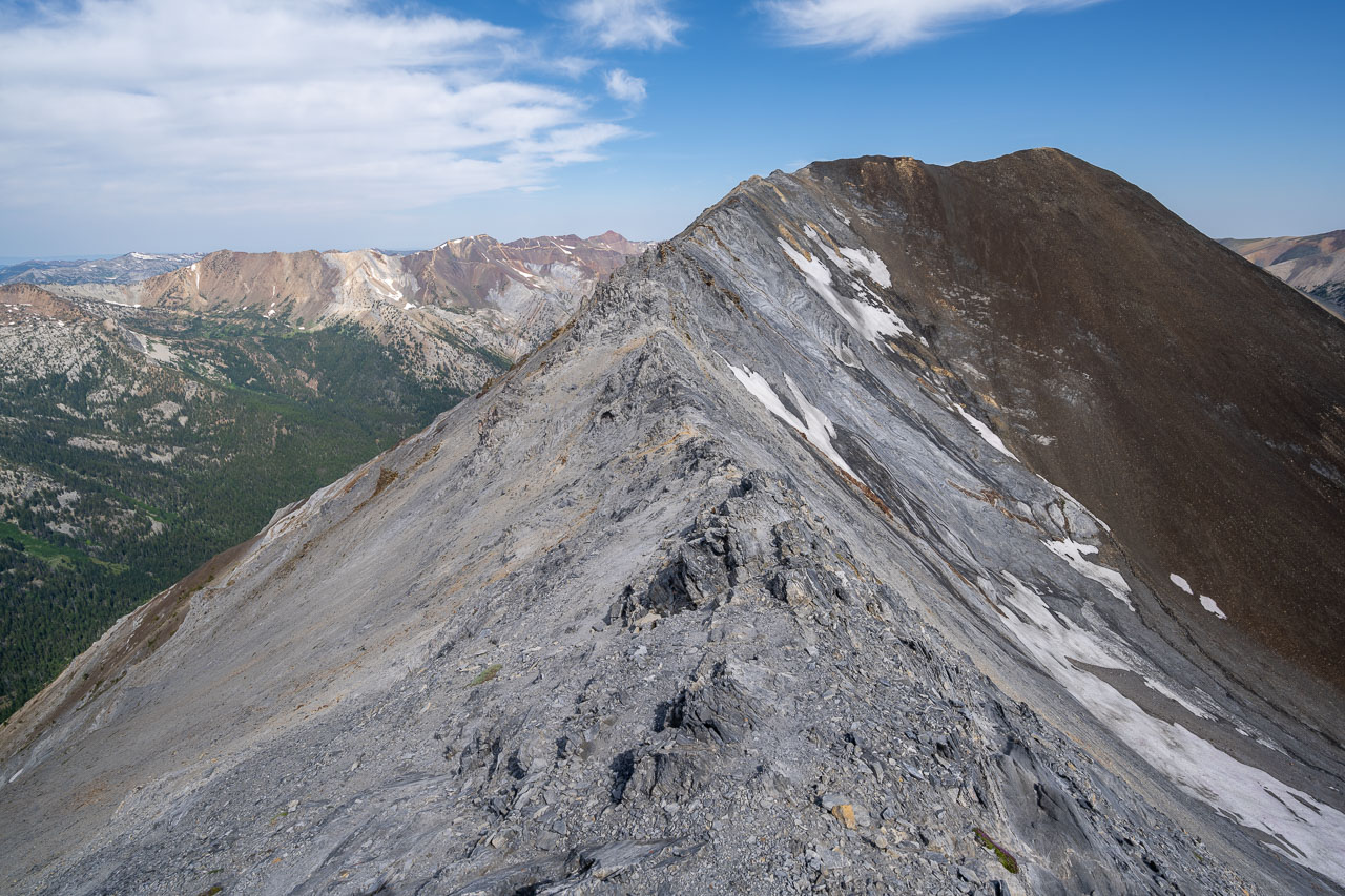
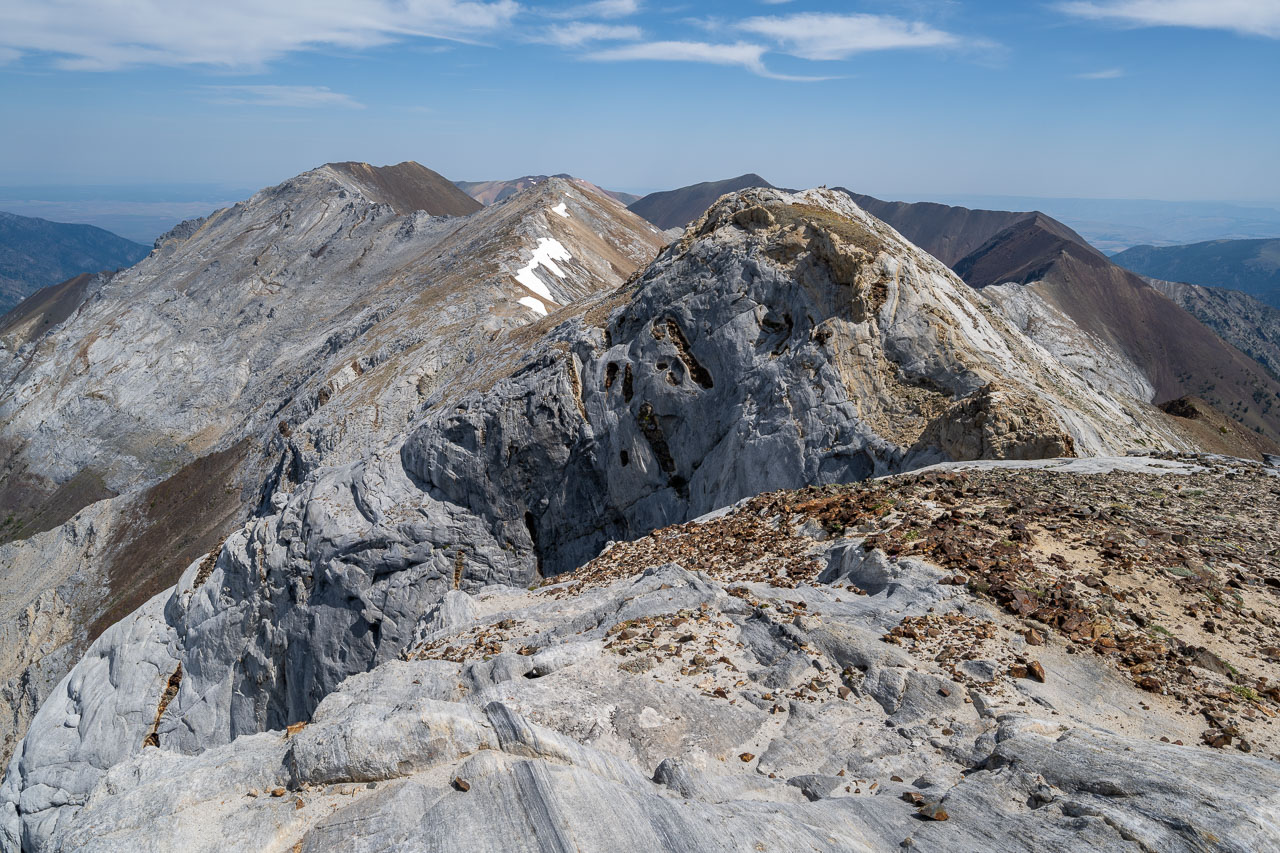
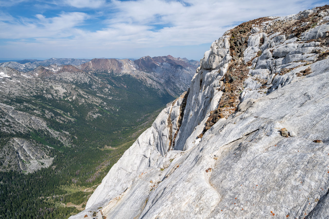
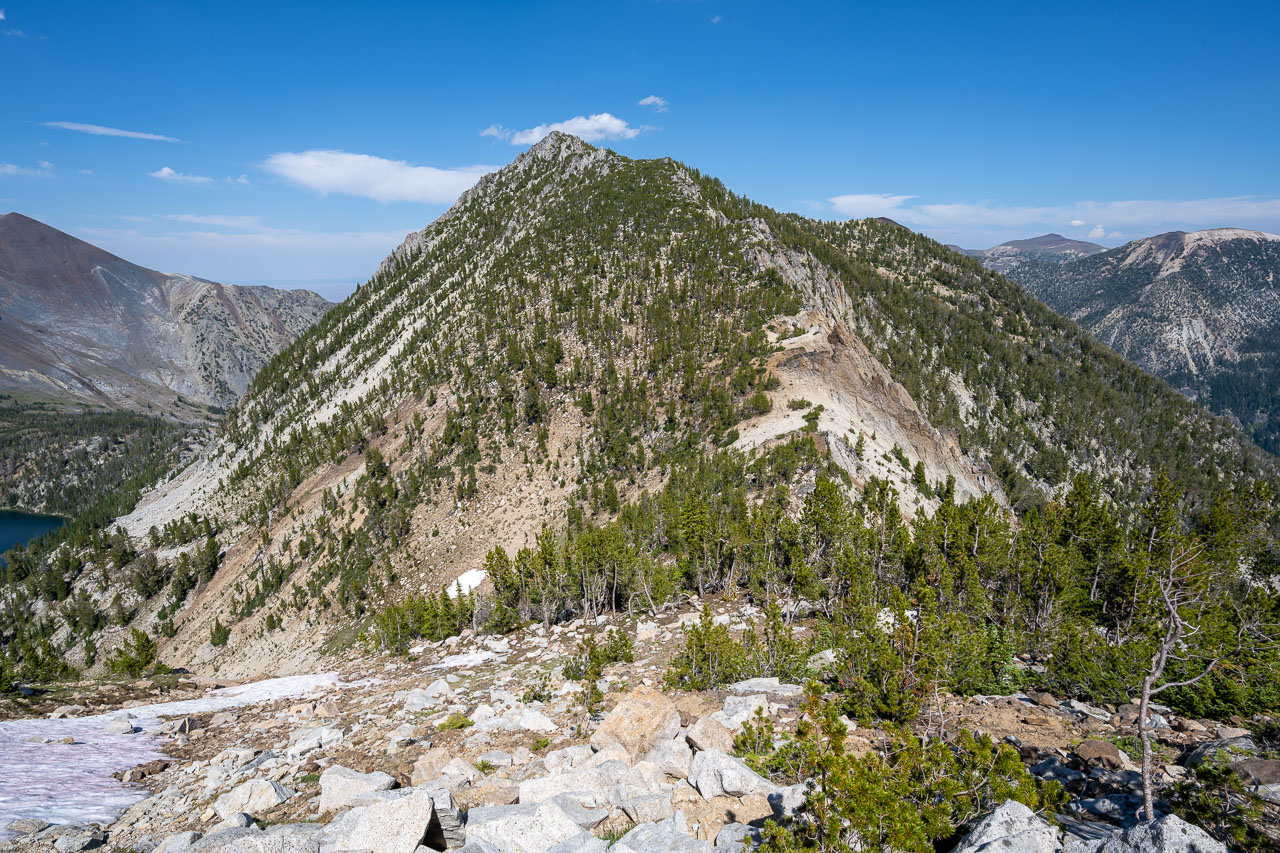
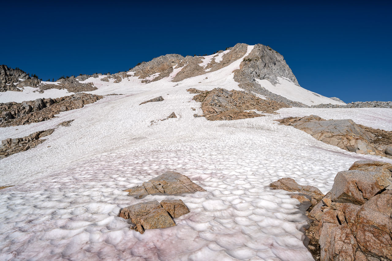
I broke camp and started heading for Glacier Mountain shortly after sunrise. There are several cliff bands blocking direct access to the mountain, but I found a convenient chute that led up through the largest of the cliffs. I had originally been intending to go over a sandy pass that I had scoped out beforehand on the satellite view, which I have shown as “Glacier Pass” on the map. As I would find out later, this pass would provide easy access over the north ridge, but on my way up I decided that I should head up the southeast ridge instead. LoJ and Peakbagger show two different summits for Glacier Mountain. Taking the southeast ridge would allow me to tag both summits. I took a GPS reading on top of both and found that eastern summit listed on Peakbagger was about 20ft taller. The western summit was a better climb though.
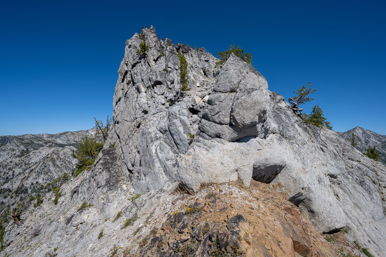
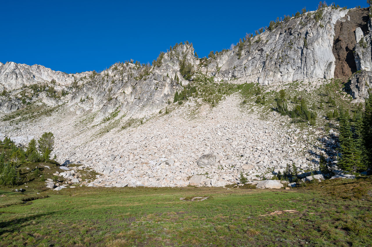
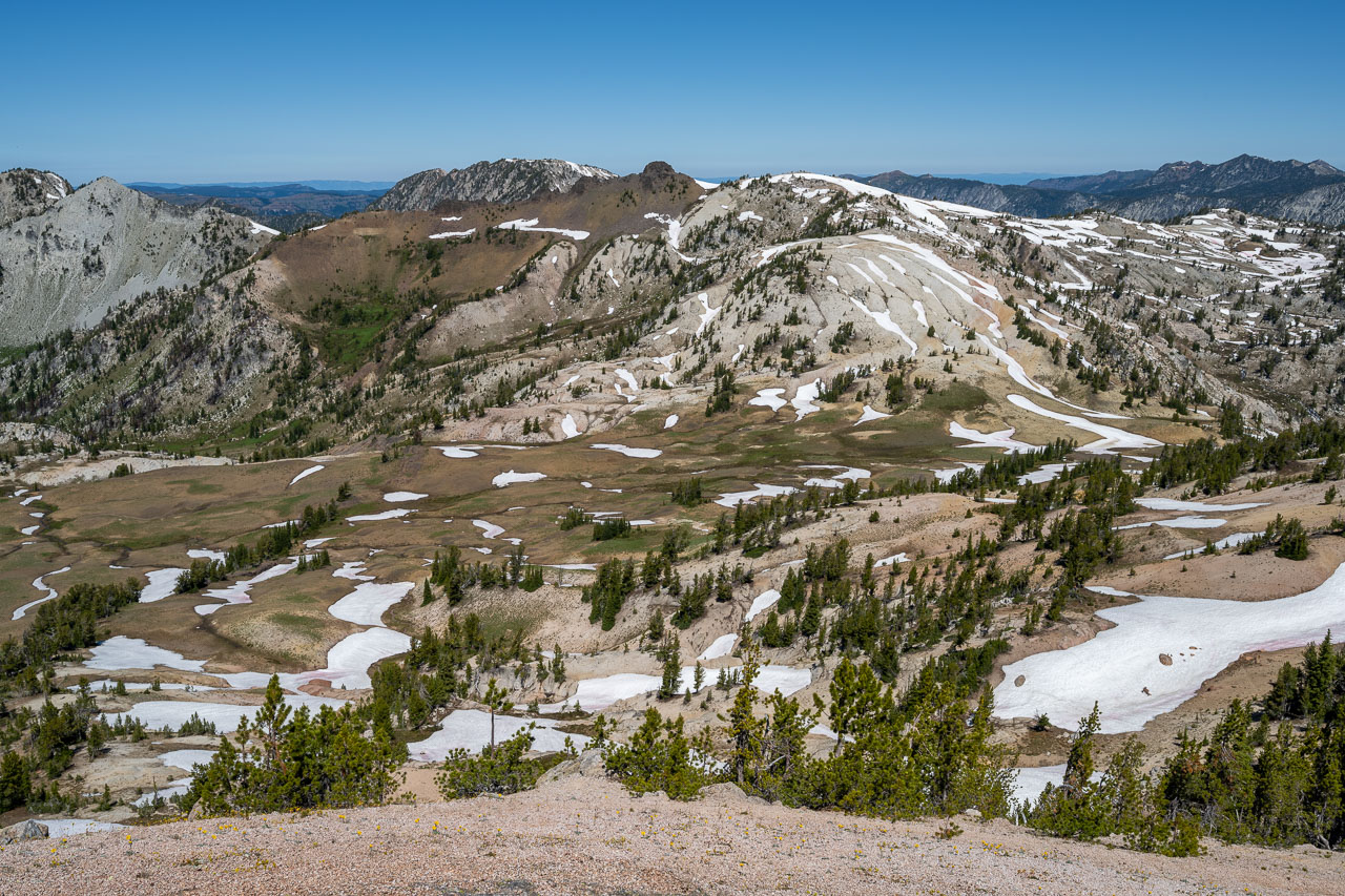
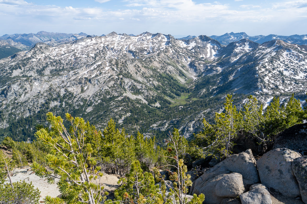
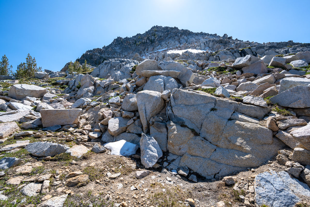
There were three more unnamed peaks I was planning to climb further to the west. With some effort, it might have been possible to stick to the main ridge on my way over, but it seemed far more convenient to drop into the basin, then climb back up to the next peak. I took a break near a small creek at the headwaters of Copper Creek, then went up a grassy slope to reach Peak 8861. From the summit, I could see a large decomposed granite slope ahead to the west. From a distance it appeared that it might be a sandy slope, but as I got closer, I found it was hard packed with only a few inches of soft sand on top of harder granite underneath. Just beyond this I reached the volcanic summit of Peak 8820.
Peak 8820 looked difficult as I was approaching it, but there was a convenient Class 3 chute on the south side that provided access to the summit. From the summit I saw another group of backpackers heading in the direction of Steamboat Lake. They would be the only people that I saw all day. There was one more peak to the west that I wanted to tag before heading for Elkhorn Peak. The next peak had the same elevation on the map as the peak I was standing on, both Peak 8820. I descending to the pass to the west where the backpackers had just come over, then left my backpack in some trees for the out-and-back to Peak 8820. Surprisingly, near the summit I passed on old fence line, which seemed out of place high up on the mountain. I had a nice view down the Minam River canyon from the summit, which runs for more than 30 miles to the north before reaching any developed roads.
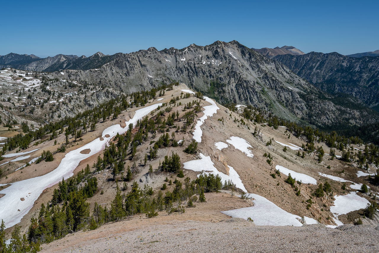
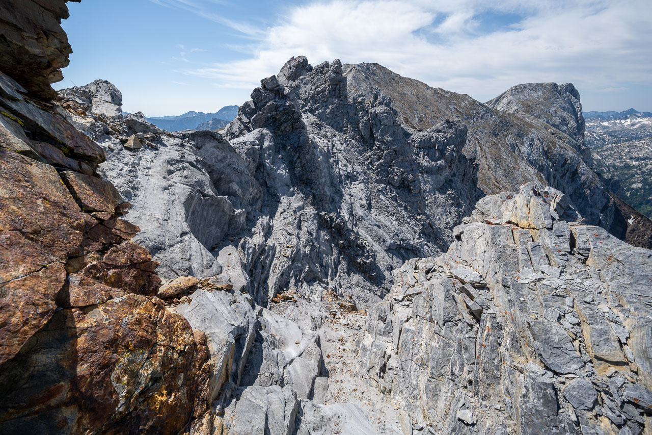
Elkhorn Peak would be the final peak of the day. Earlier from Glacier Mountain I had noticed that the west ridge of Elkhorn had appeared longer and more complicated than I had been expecting. I hadn’t done much research on the peak, assuming that it would be a straightforward ridge traverse. In particular, there was a steep looking pinnacle part way along the ridge that looked like it might be difficult to bypass. I made my way over to the base of the west ridge and left my backpack in some trees before the ridge steepened. It would be a little over a mile each way to reach the summit. Initially I stuck to the north side of the ridge, but when they started to cliff out I moved onto the ridge proper.
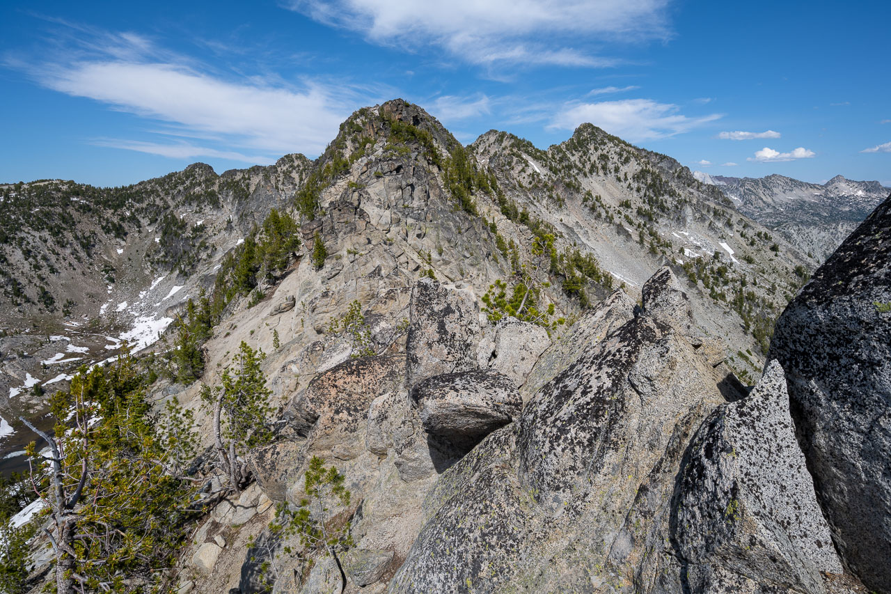
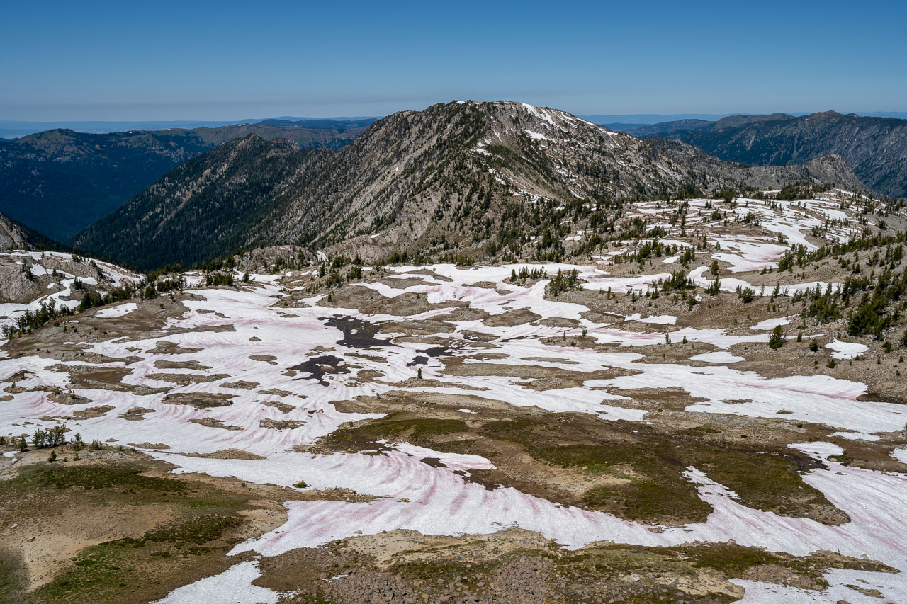
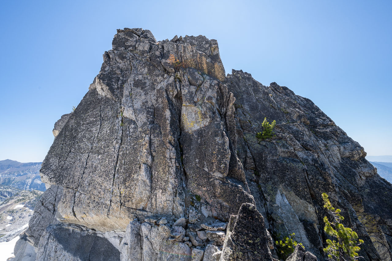
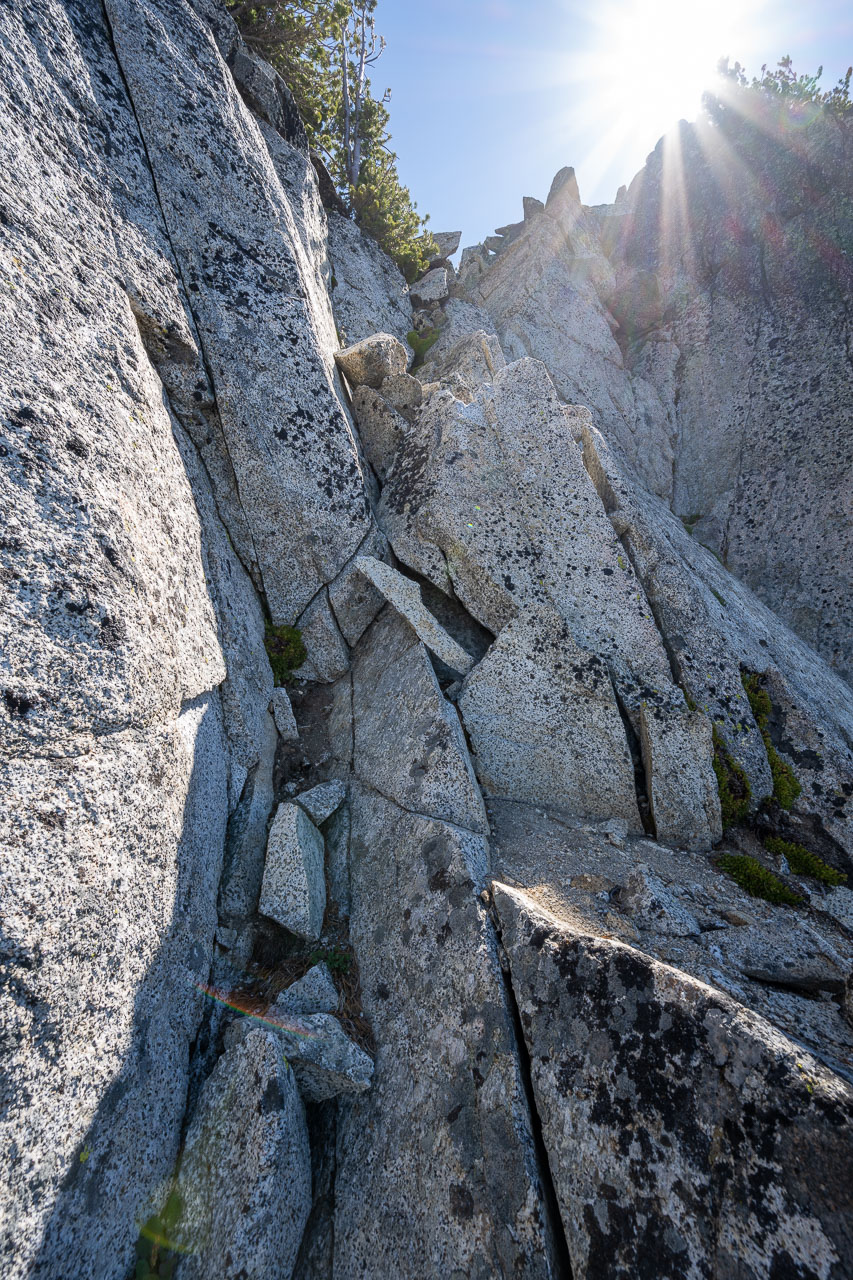
Things were going well until I ran into a cliff just before reaching the rock pinnacle (shown at Point 8995 on the map). I backtracked a few hundred feet and found a steep downclimb onto the south side of the ridge that traversed a sloping friction slab over to the notch. There were two options at this point, either go over the top of the rock pinnacle, or traverse around on the south side. I decided to go over the top on the way out, then check out the lower traverse on the way back. I climbed a short section of Class 4 going up, although there was probably a Class 3 alternative if I had looked around more. I had a good view of the remaining ridge from the sub-summit. Getting down the backside of the rock pinnacle involved more Class 3. After that I was back on easier terrain the remaining distance over to the summit of Elkhorn. There was a nice view from the summit, including Glacier Mountain to the north, and the Lostine River drainage below me to the north. Across the valley in the distance I could see Hurricane Divide and the Hurwal Divide, which I would cross later in the trip.
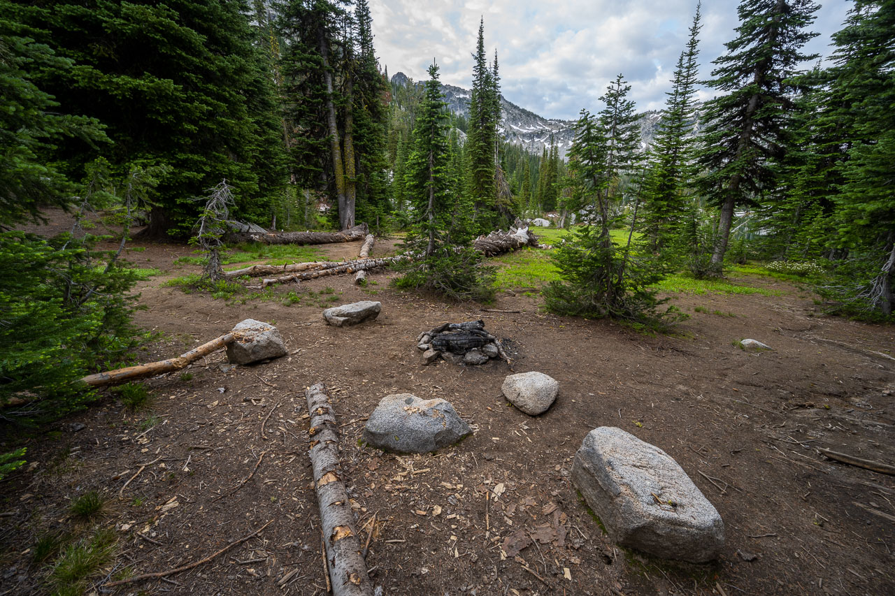
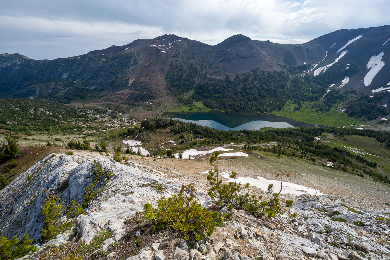
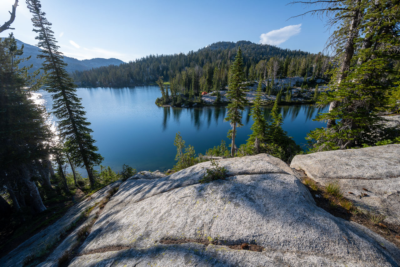
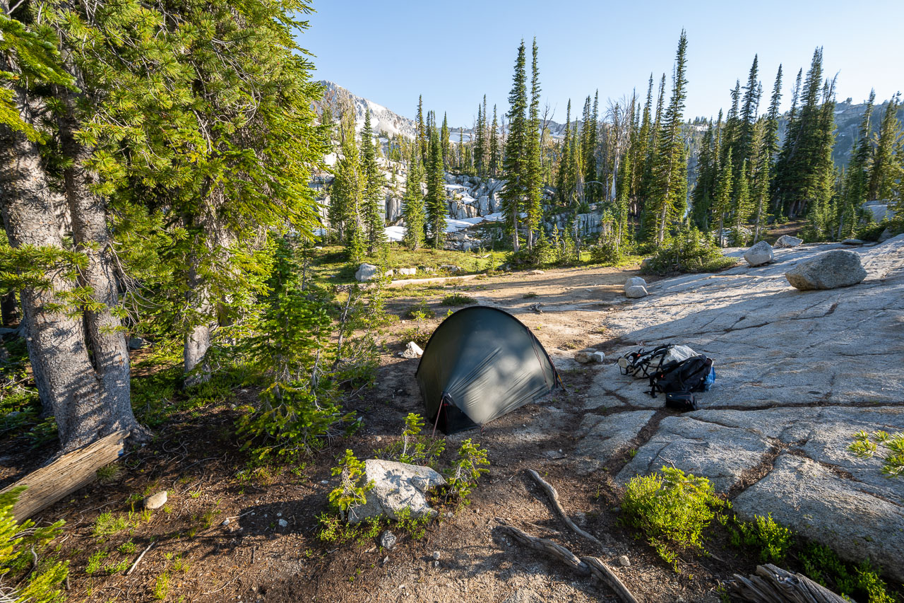
On my way back I made good time getting back across the ridge. At the rock pinnacle, I traversed around the south side finding nothing more difficult than Class 3. After returning to my backpack I started down the ridge separating Swamp Lake and Steamboat Lake. It would have been easy to drop down to Swamp Lake and catch the trail over to Steamboat, but I had noticed an old abandoned trail on the satellite view that would provide more direct access down from the ridge. This ended up working out nicely. After going over a few bumps on the ridge I followed the abandoned trail down to the lake. I picked up the main trail near the lake and followed that over to a nice campsite on the east side of the lake.
18.1 Miles, 4400 Gain
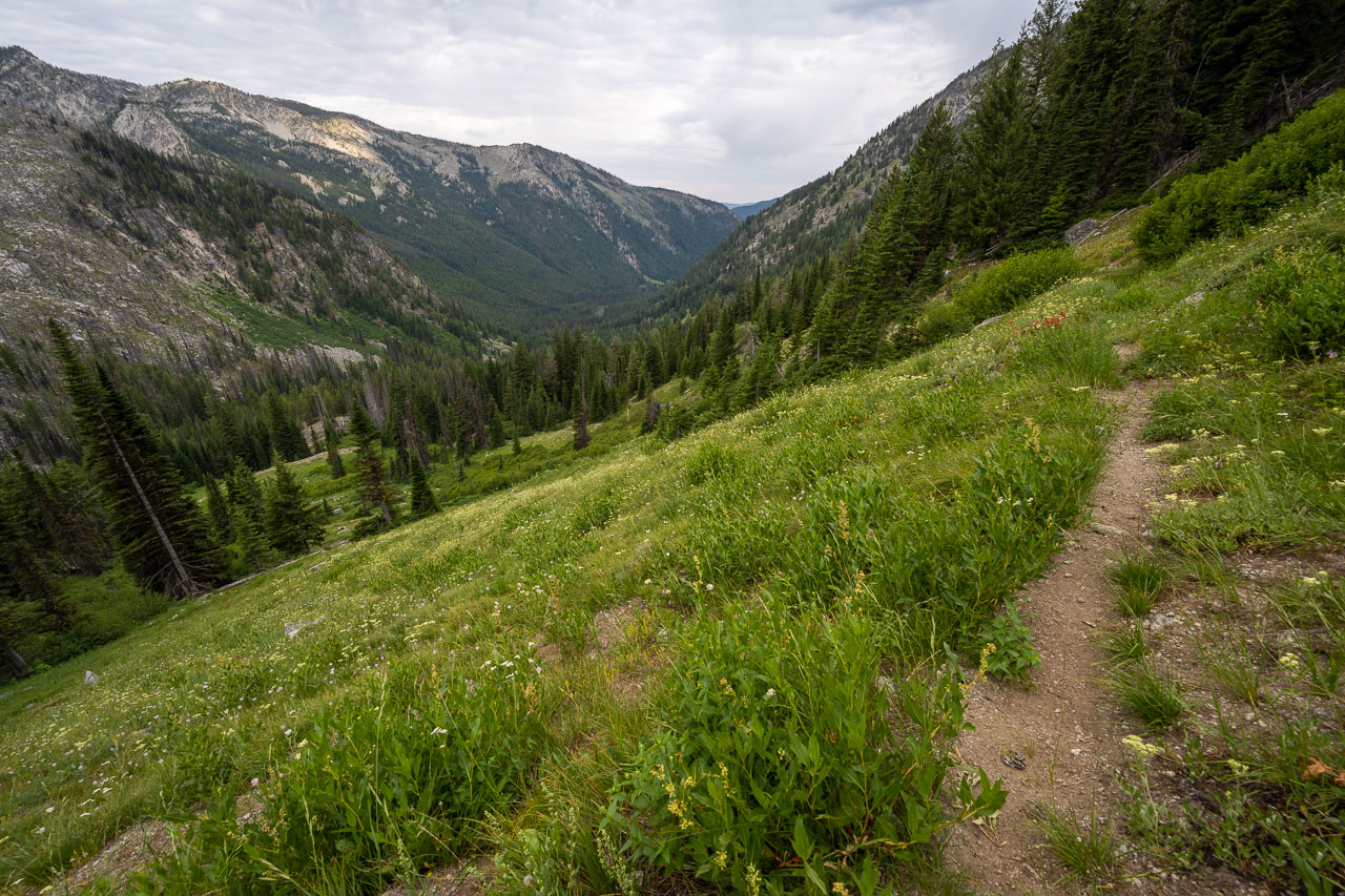
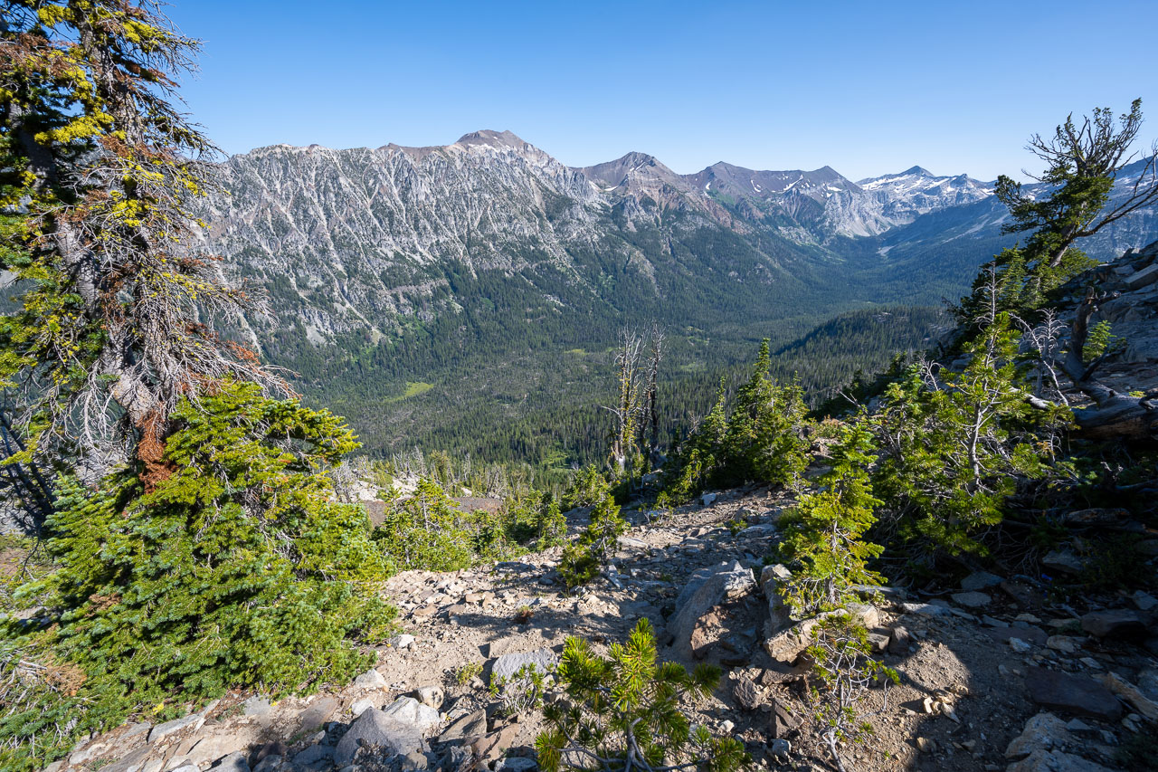
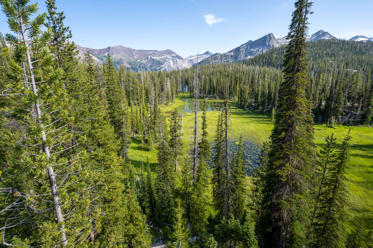
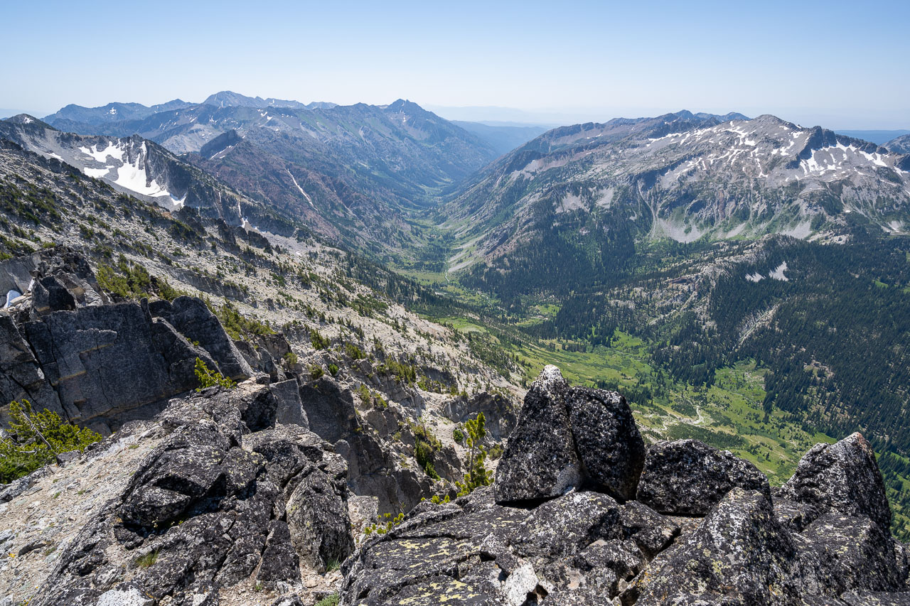
I was up and moving shortly after sunrise. I was planning to meet up with some family and friends later in the day along the Lostine River near the Lillyville Day Use Area. They were staying at the campground at nearby Wallowa Lake State Park, and had agreed to help me out with a food resupply at the half way point of the trip. I was able to get cell service on the summits, and they had cell service down at the marina, so it worked out nicely for coordinating a meetup time. To reach them I was planning to head down the valley to North Minam Meadow, then up and over the ridge near Lookout Mountain before dropping down to the Lostine River.
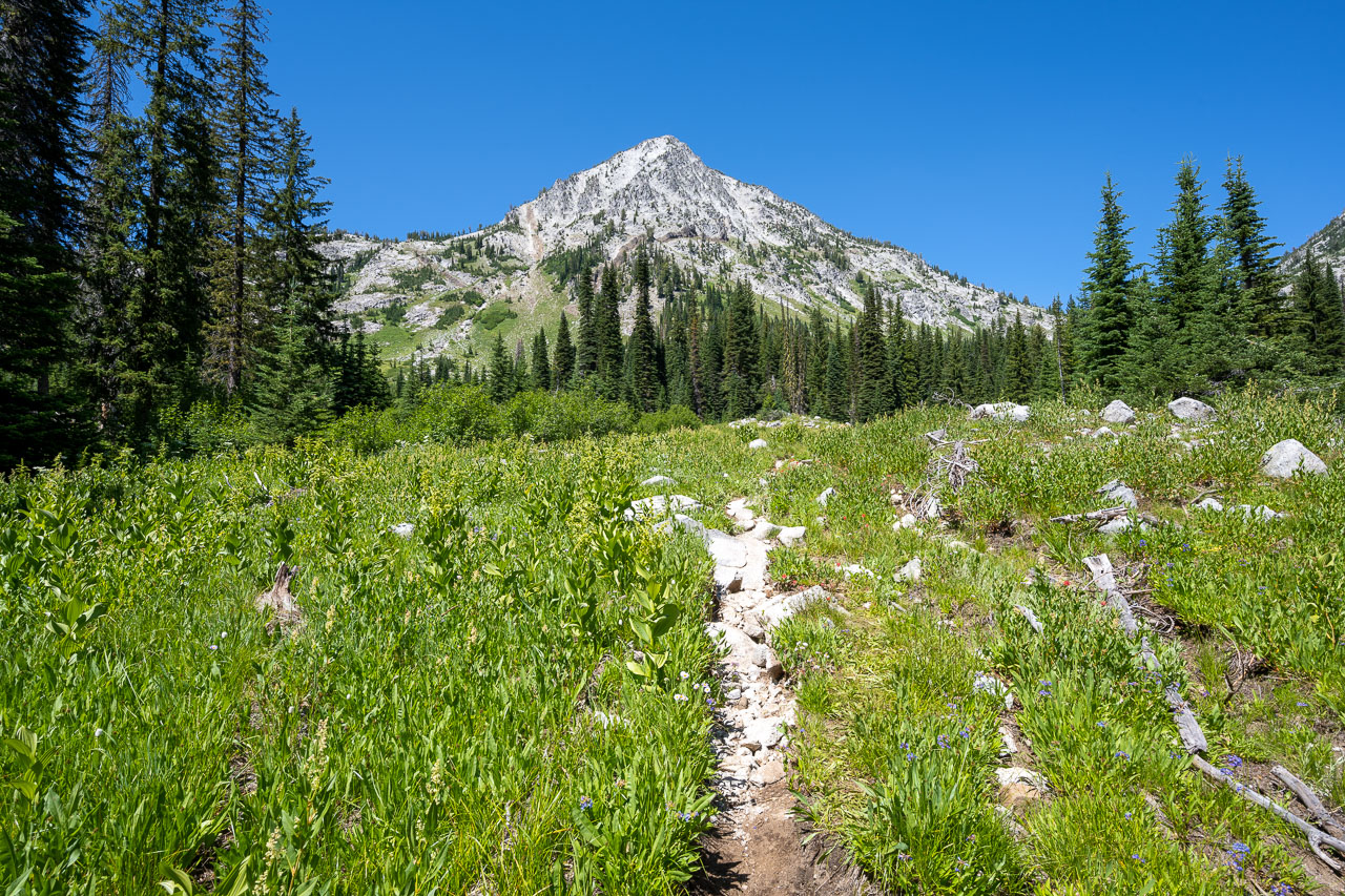
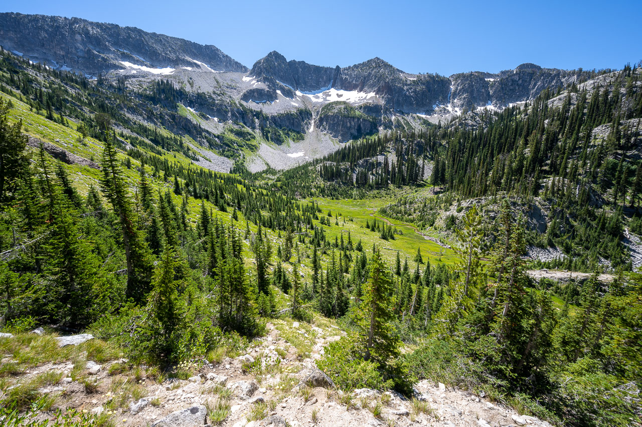
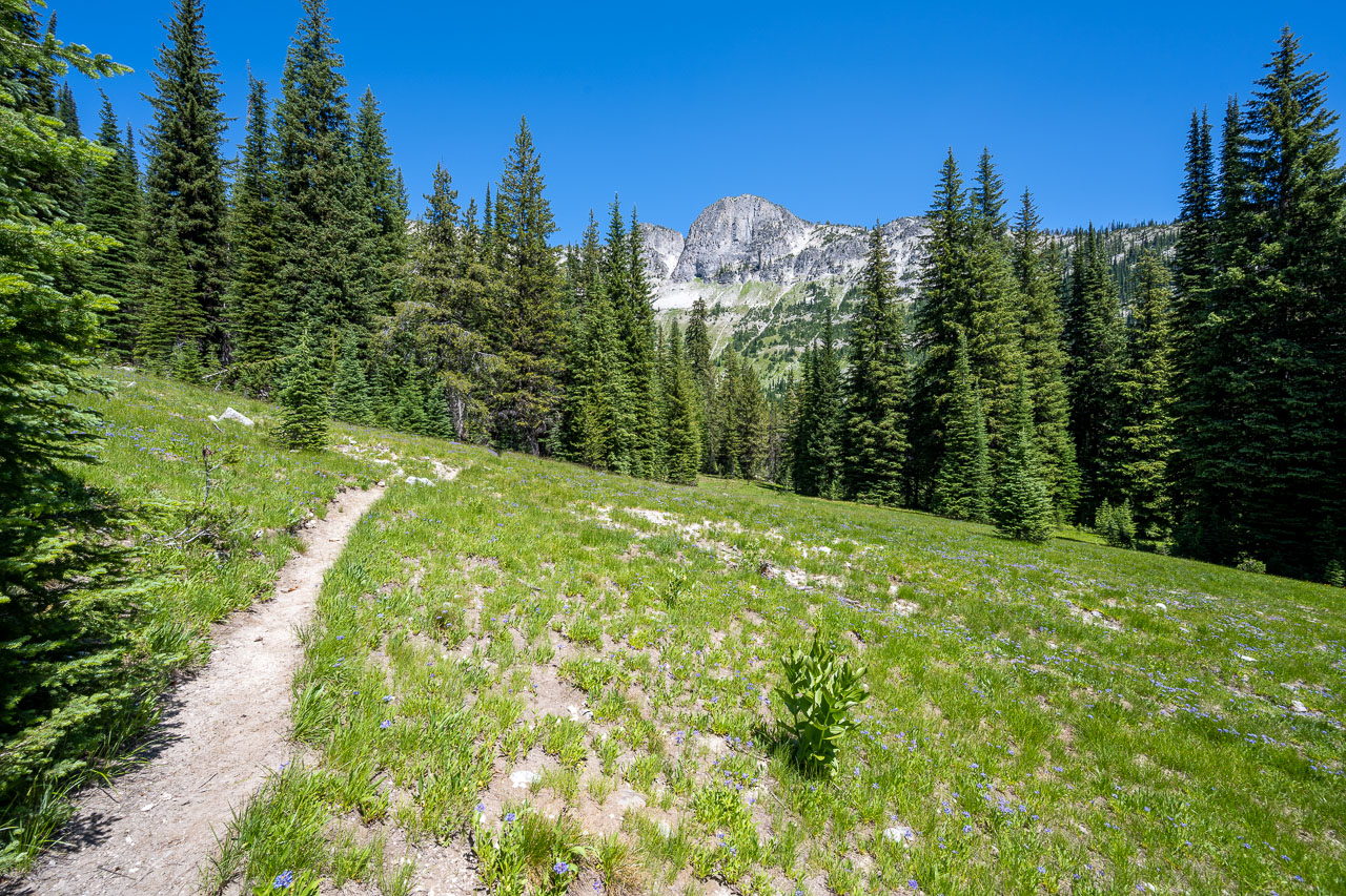
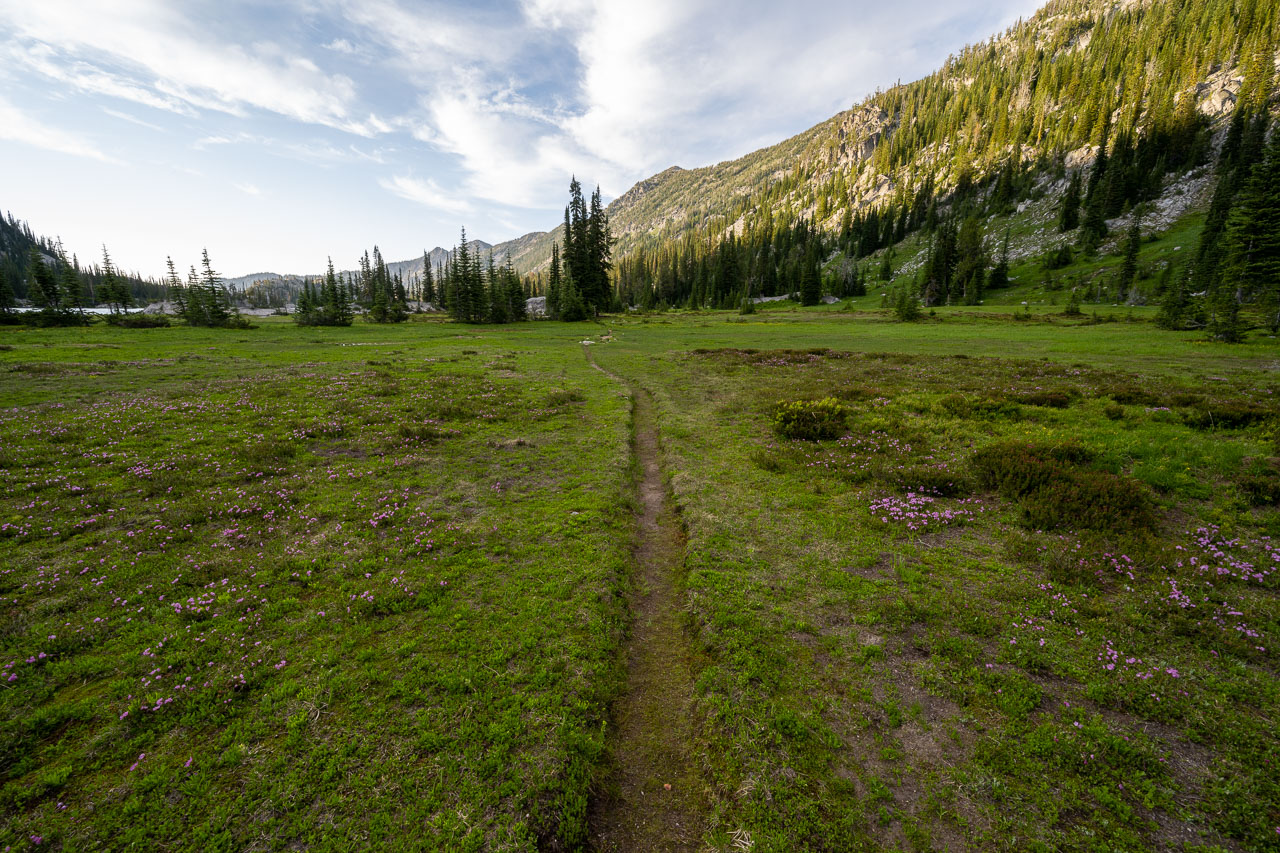
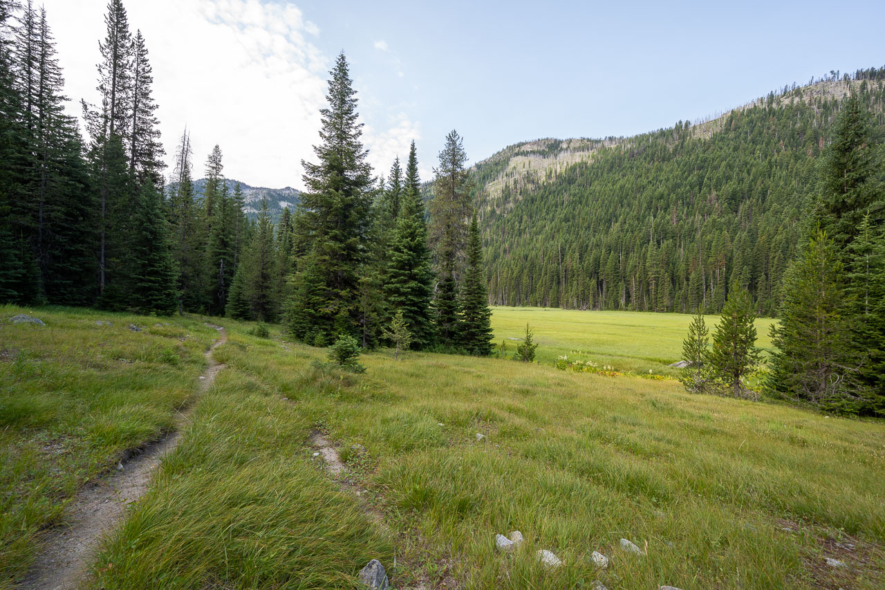
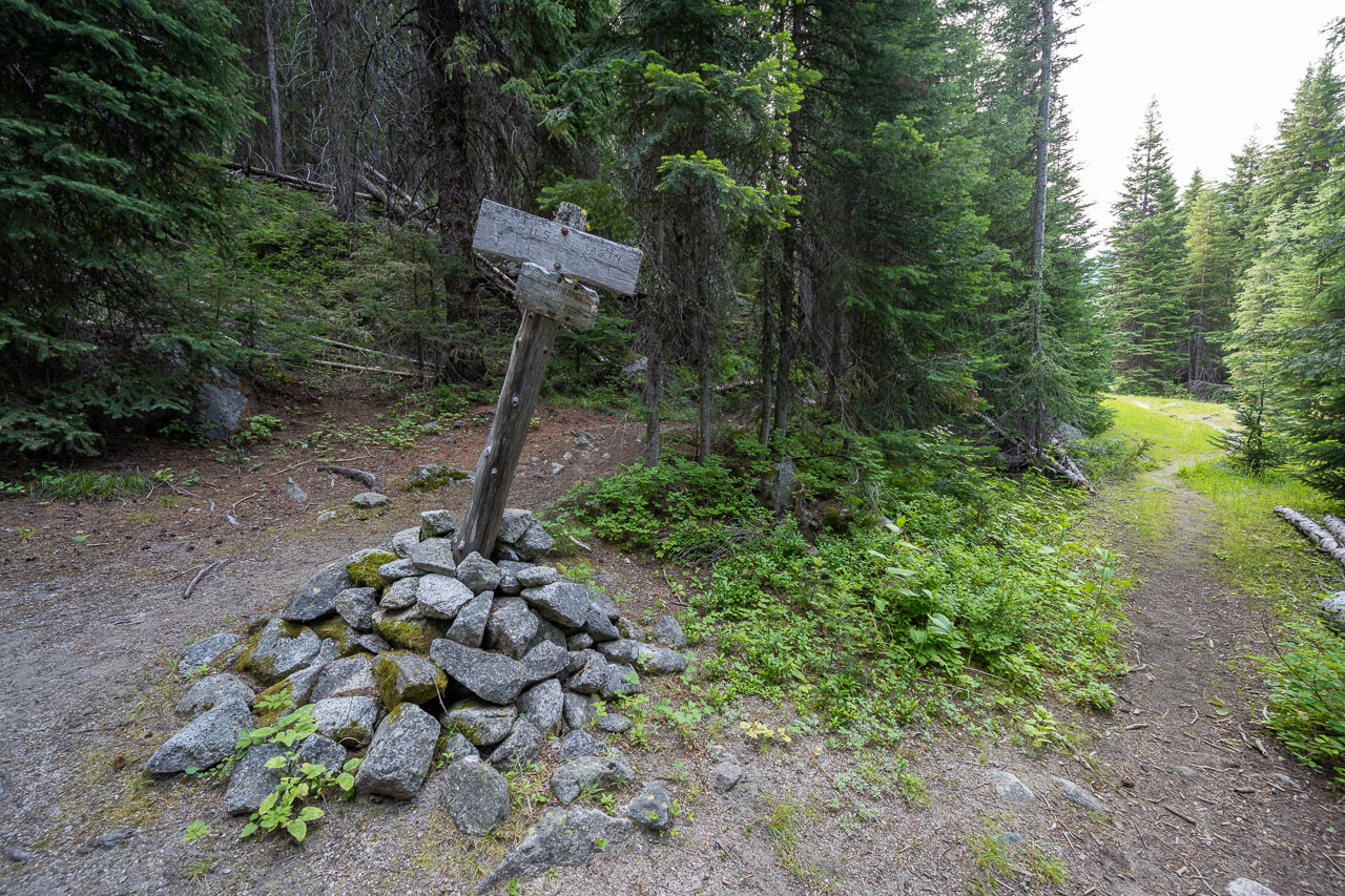
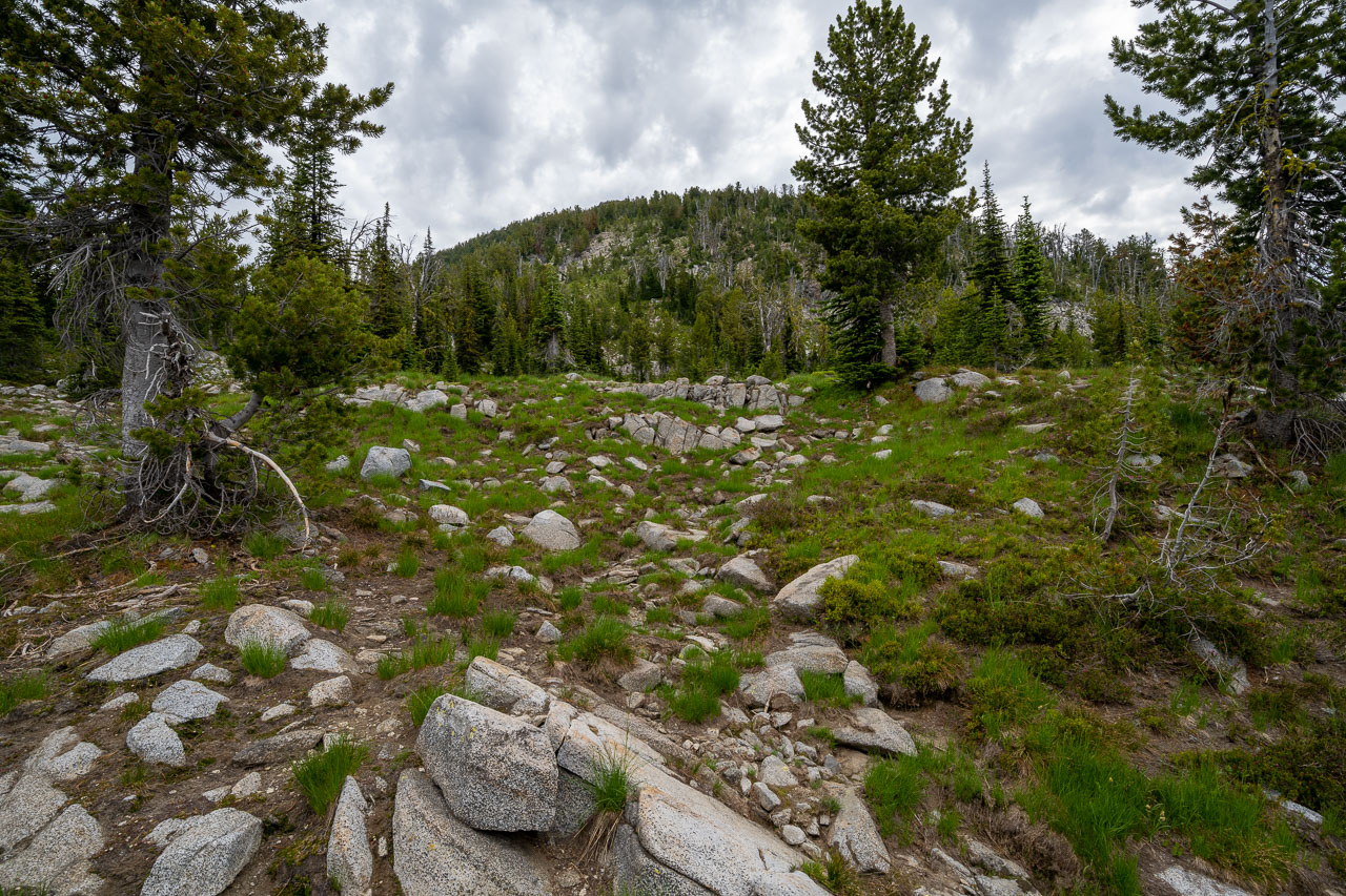
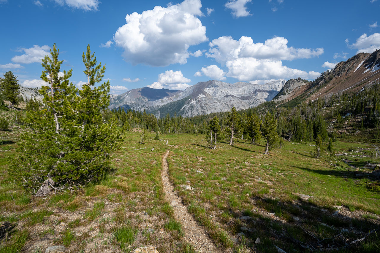
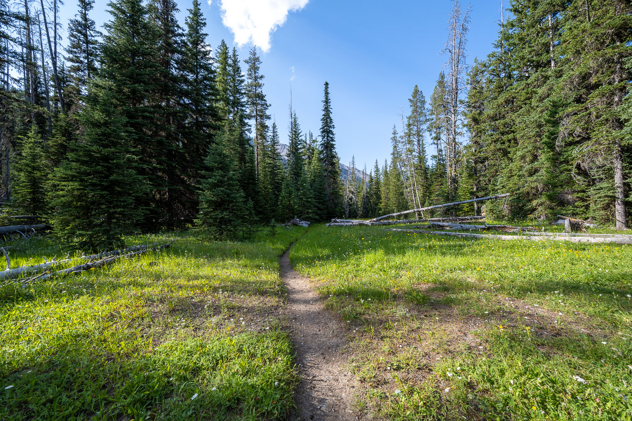
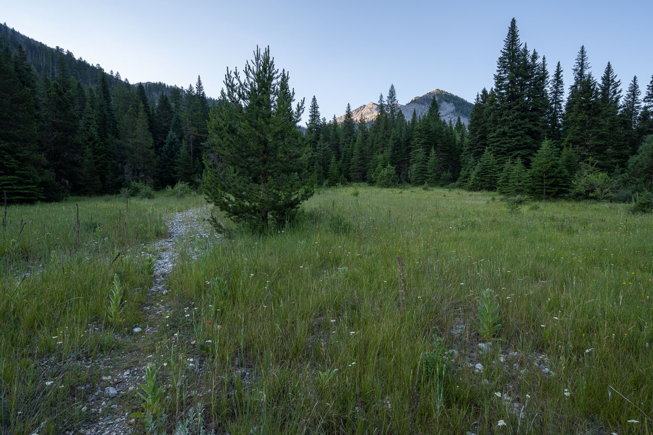
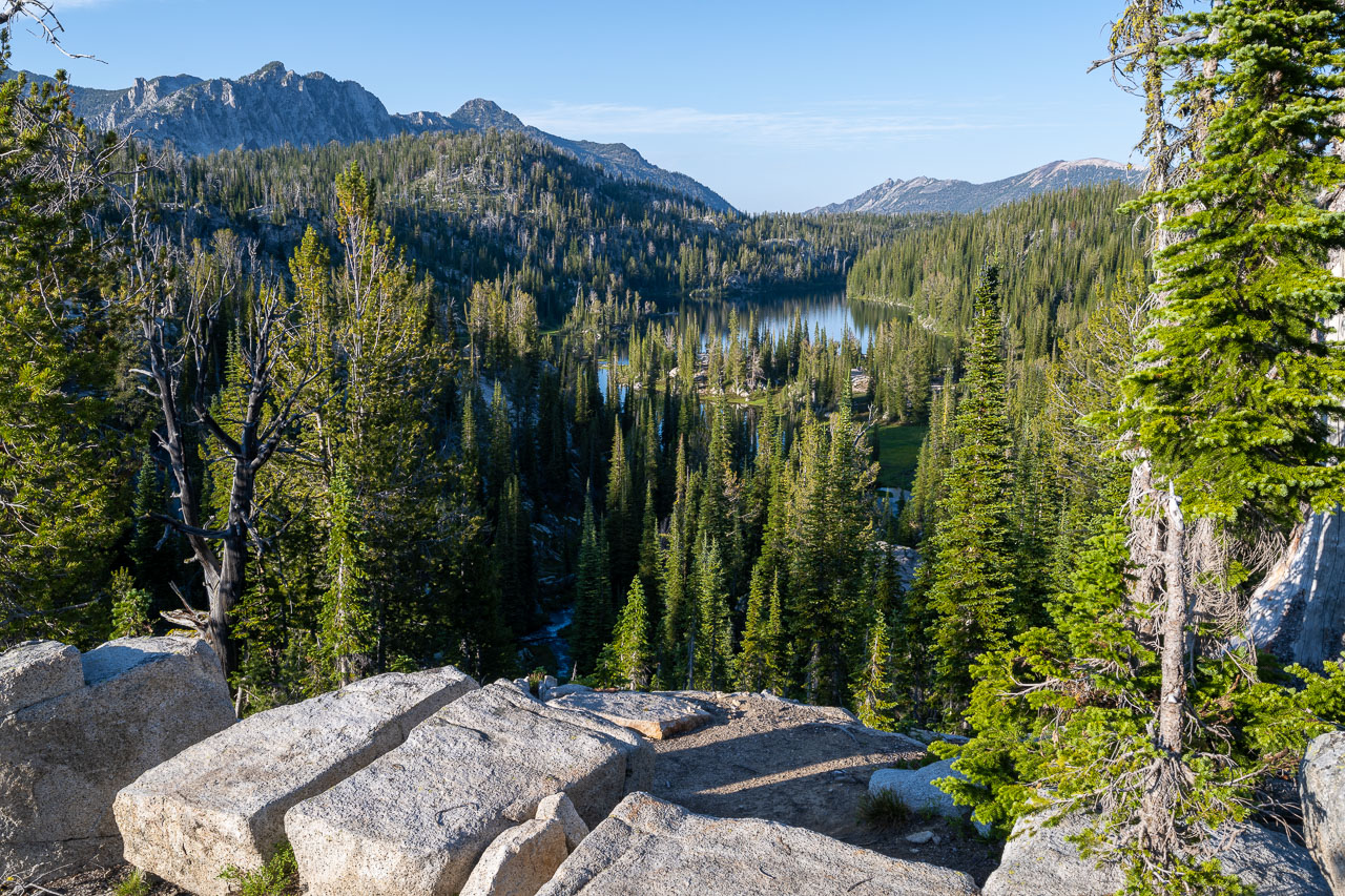
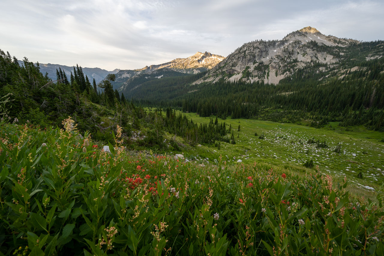
The trail out to North Minam Meadow was in good shape. I passed through some hillsides full of wildflowers before dropping into the forest alongside the North Minam River. The area appears to be popular with horse packers, and I passed a few empty campsites near the meadow. At the north end of the meadow I caught the junction leading toward Wilson Basin, then started the steady uphill climb on some switchbacks. After roughly a 2500ft climb I arrived at a meadow on the west side of Lookout Mountain. I left the trail here and made my way up to the summit. I had cell service at the summit, so I left a message that I would be down to the river in a few hours.
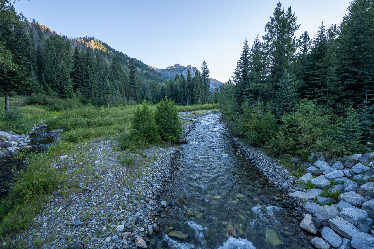
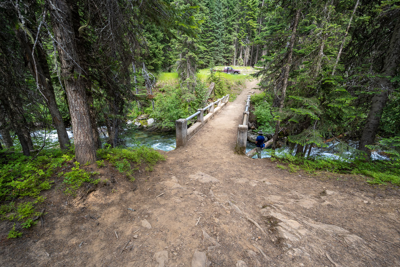
After taking a break at the summit I made my way down the snowy east face of Lookout Mountain. I met up with the trail and followed it past Hobo Lake, which was still partially frozen. Before heading down, I dropped my pack and did a short out-and-back to Peak 8675. The view east from the summit was even better than Lookout, and I could see down to the Lostine River 3500ft below. Returning to my pack, I started the trail descent to the river. By mid-afternoon I arrived at the Lostine and met up with the group. There is a convenient footbridge at the crossing, otherwise getting across the river would be difficult. After catching up on how each of our trips had been going, I resupplied with a food bag I had given them. Afterwards they went up the road to check out the popular trailhead near Two Pan Campground that provides access to Lakes Basin. I would be travelling through Lakes Basin in a few days and was expecting it to be crowded.
I had been considering continuing up the trail to Frances Lake, but finding a campsite near the river was too tempting to pass up. There was one tent site at the day use parking, which was already occupied, and a few other sites along the road, but they were all filled with RVs. After searching around I eventually settled for a spot near the footbridge. I took a refreshing swim in the river then got to bed early. A light rain would move through during the night, which turned out to be the only rain of the entire trip.
19.0 Miles, 7150 Gain
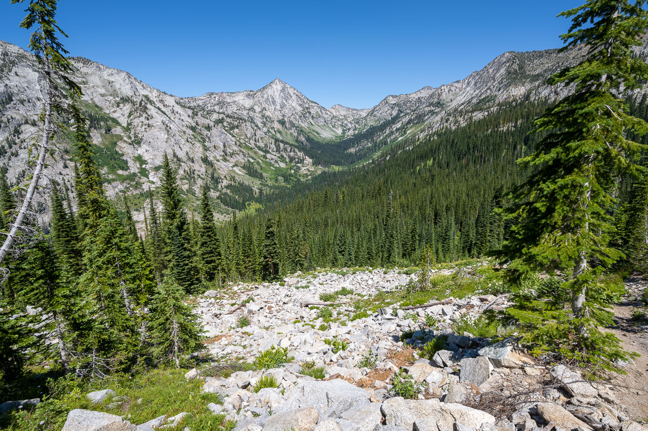
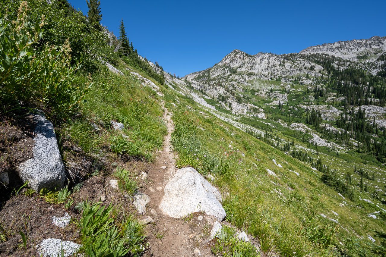
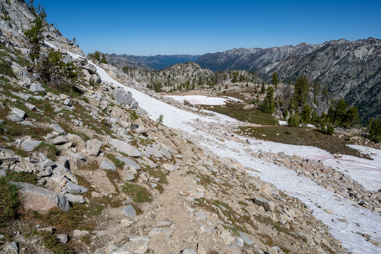
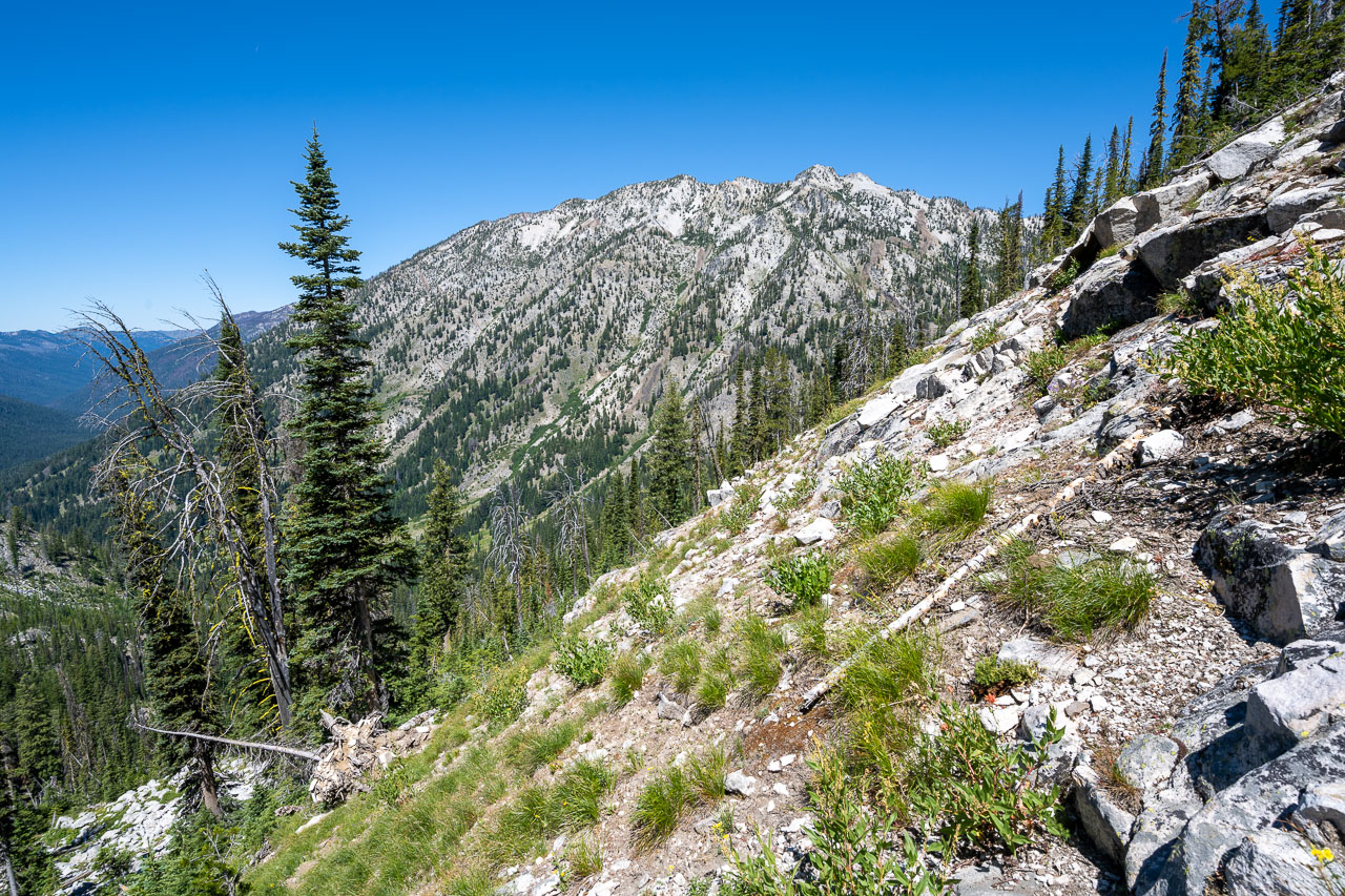
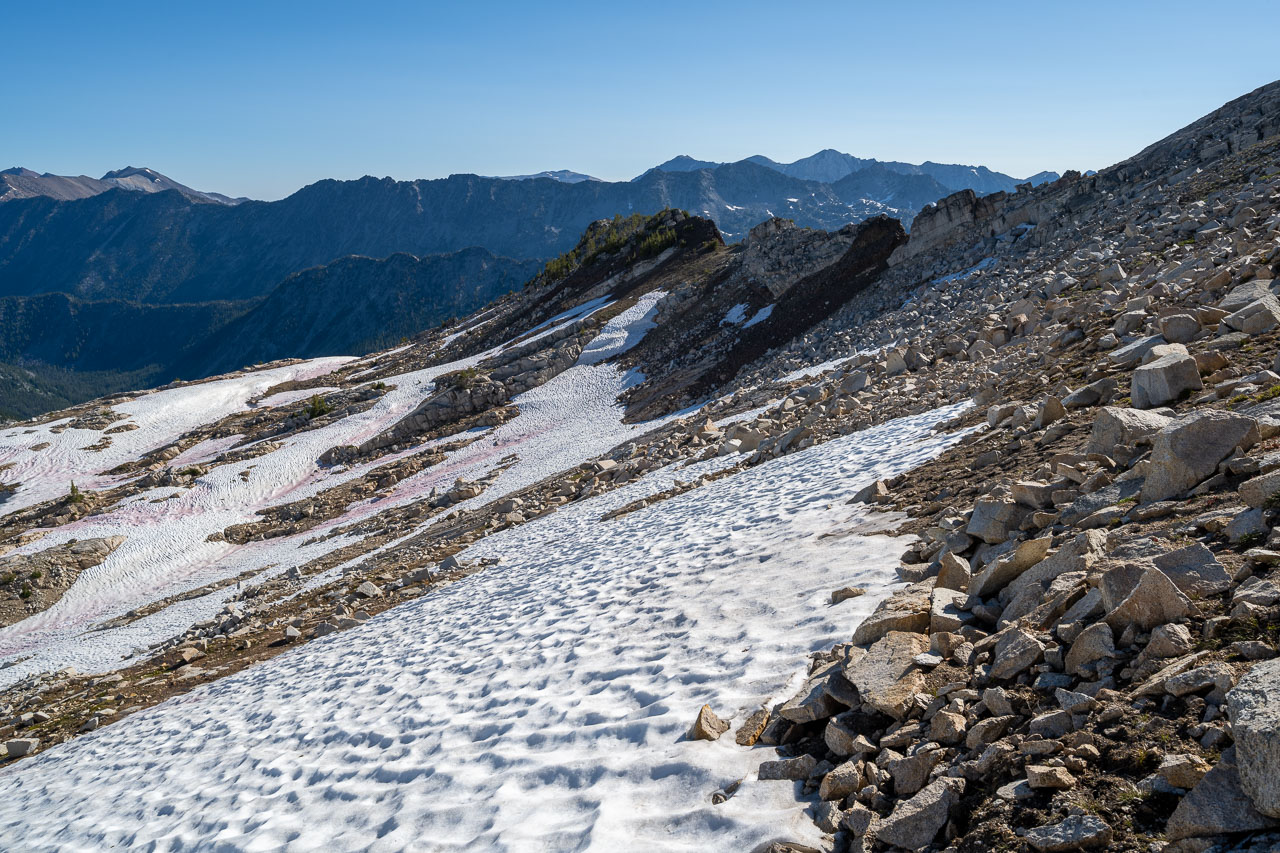
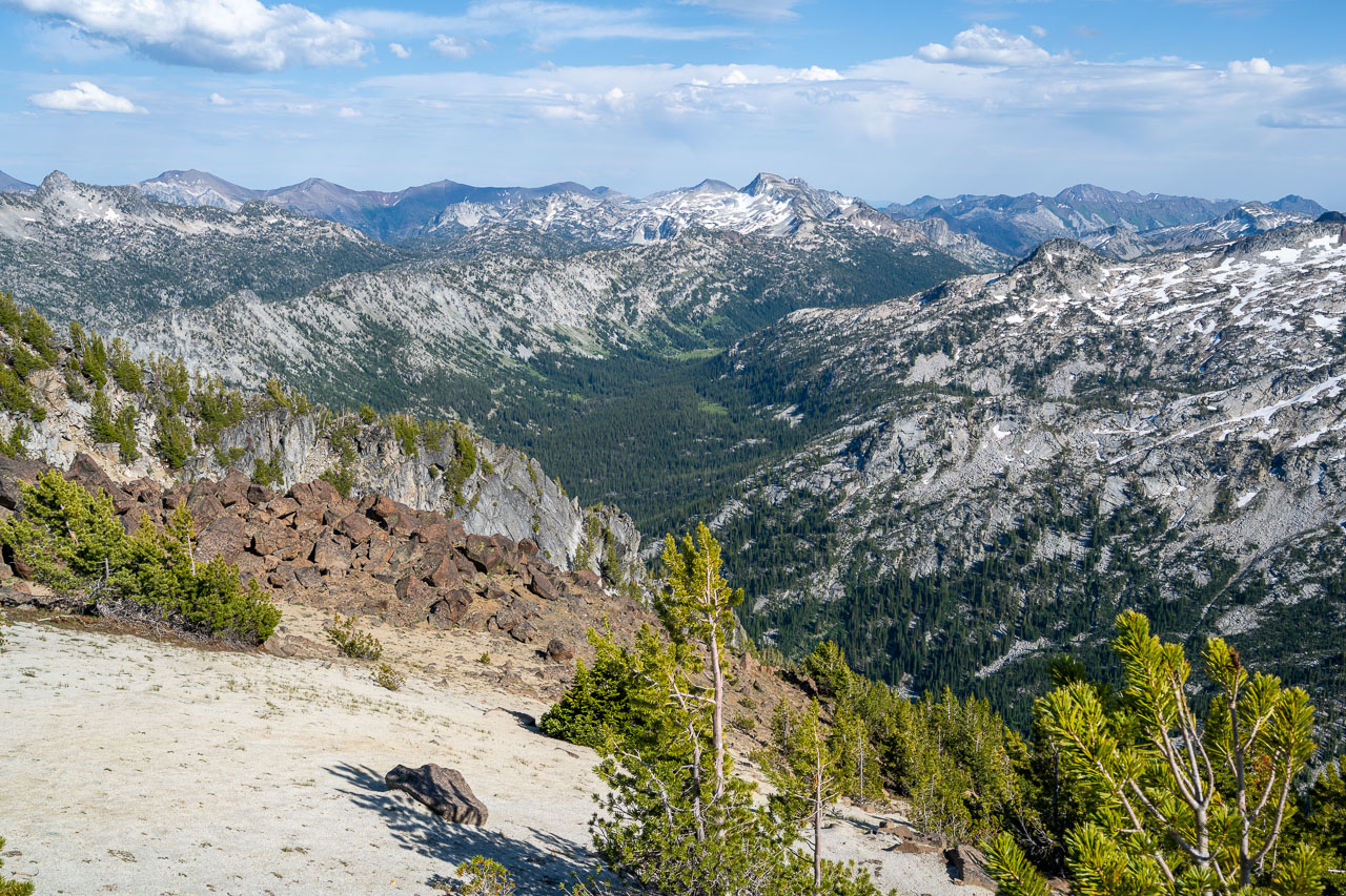
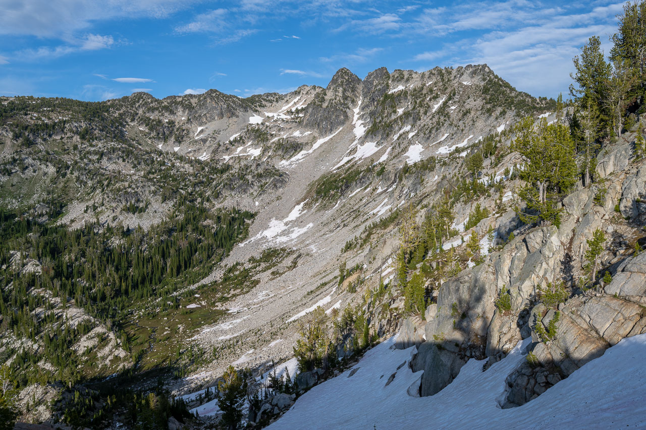
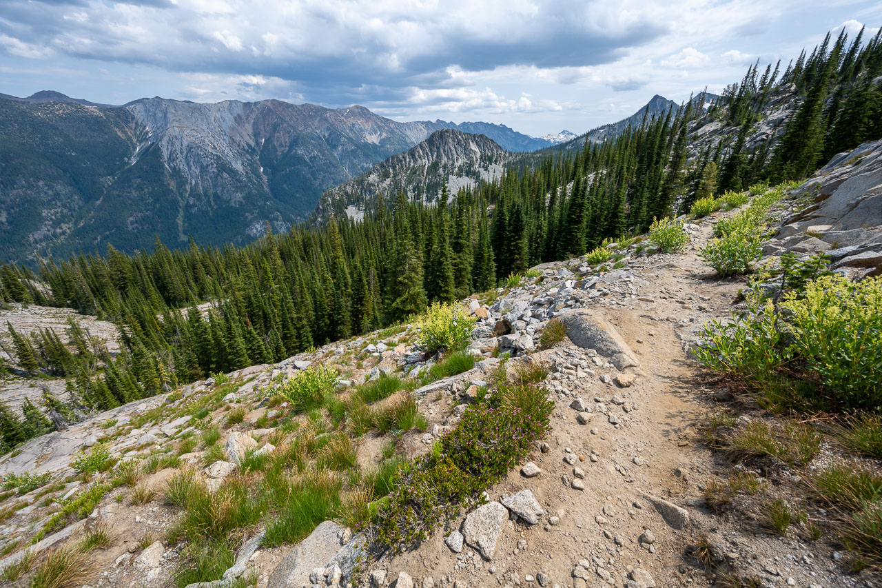
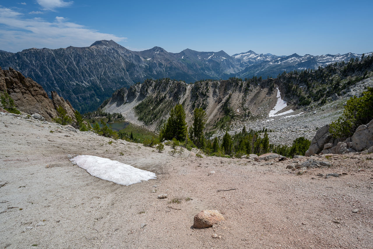
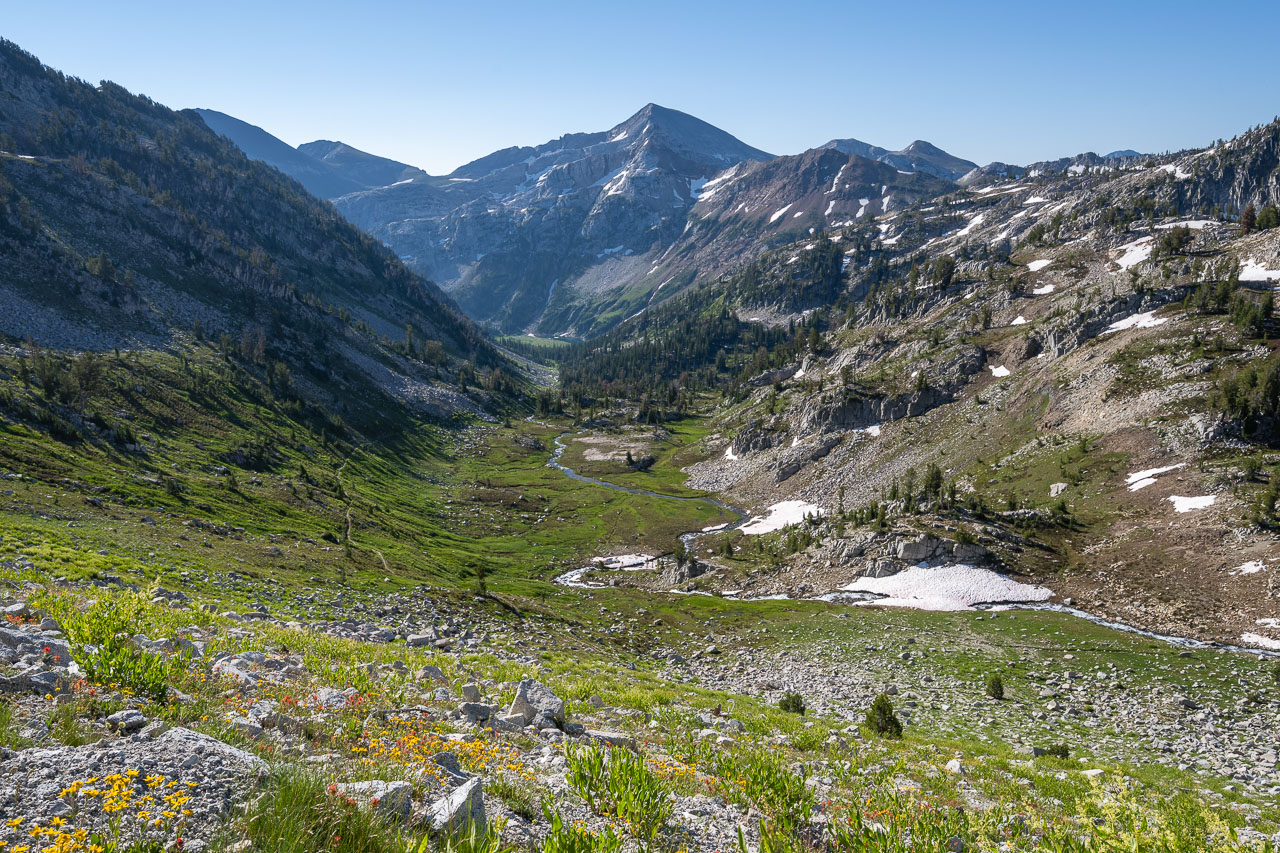
After packing up camp in the morning I went to find the trail leading to Frances Lake. I had noted the trail sign the previous day, but the actual start of the trail was a little difficult to find. I had to walk through an RV tent site and parallel the road for roughly a quarter mile before eventually finding the correct trail leading up the mountain. With that confusion out of the way, all that was left was a steady grind up many long gently sloping switchbacks. A direct route straight up the mountain would have been roughly 1.3 miles, but with all the switchbacks it turned out to be closer to 7 miles before I eventually reached the pass.
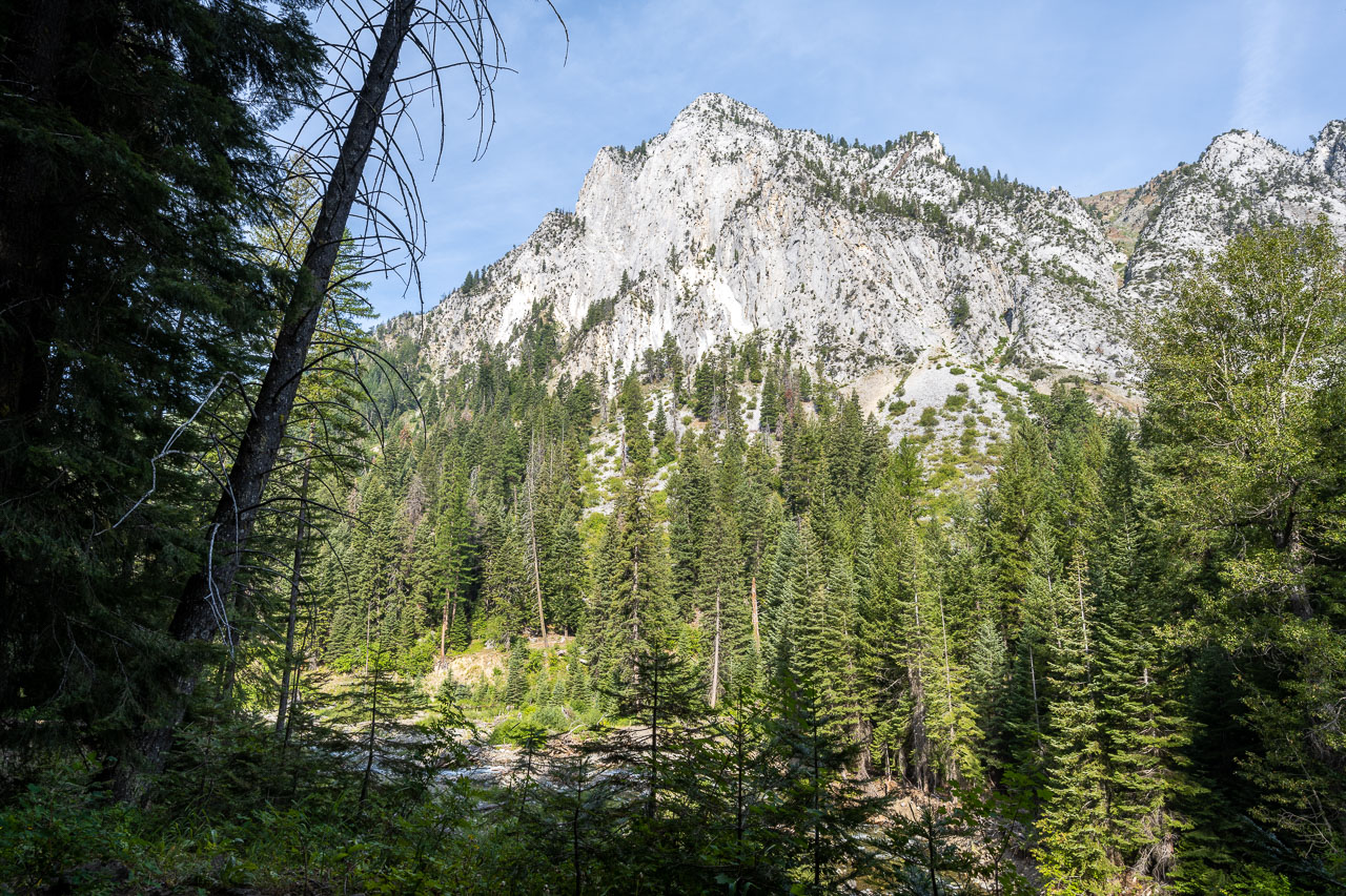
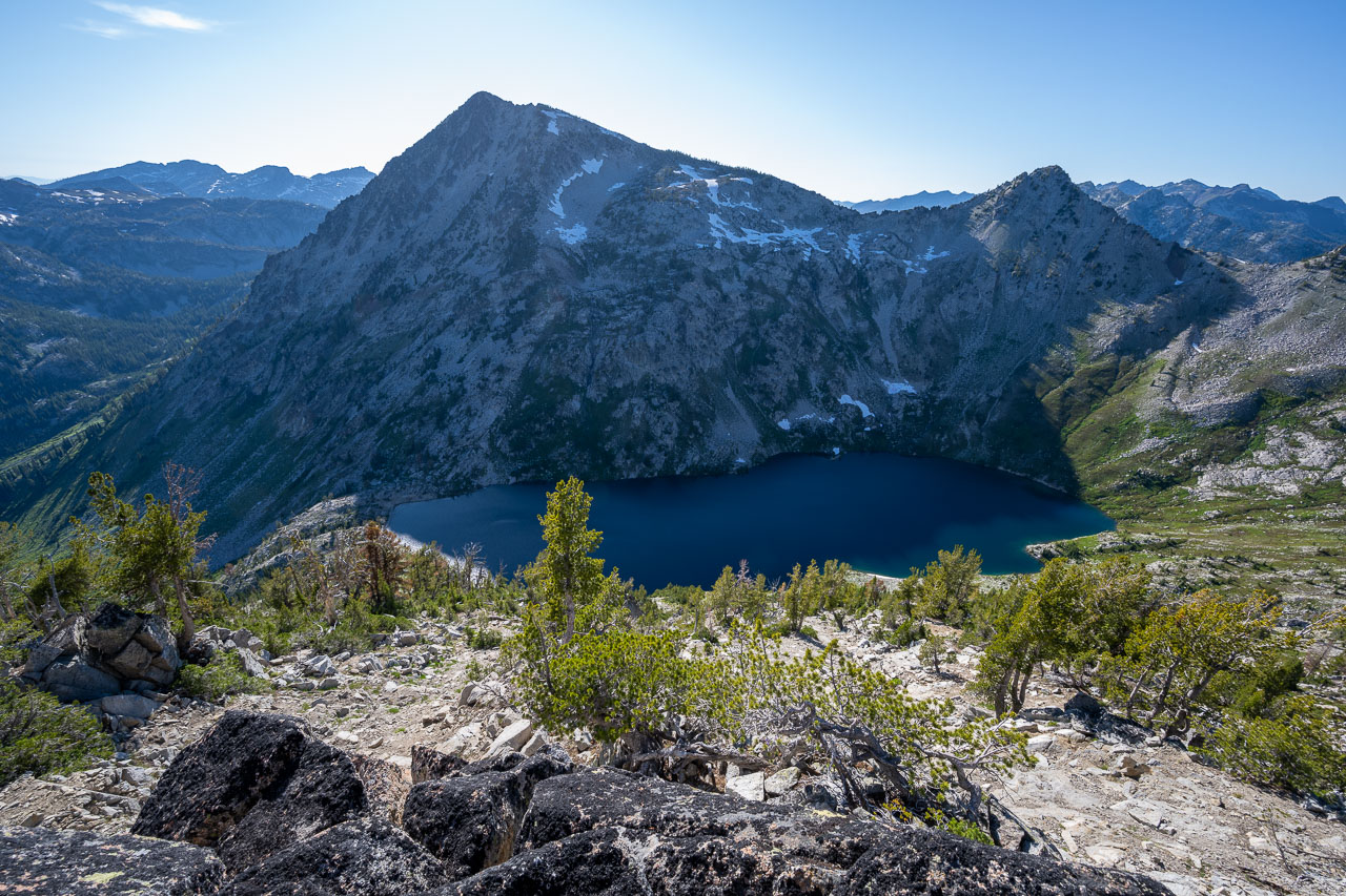
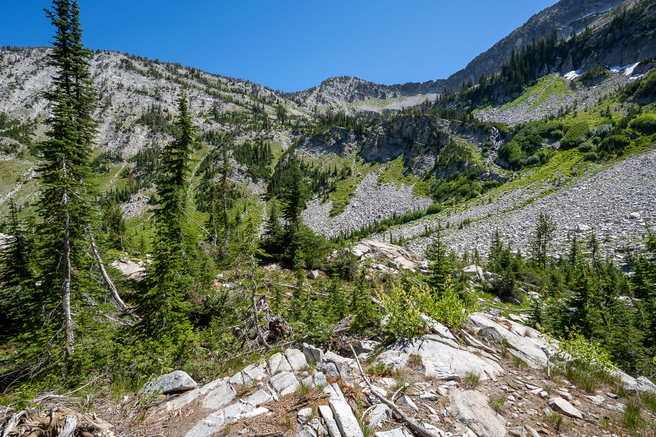
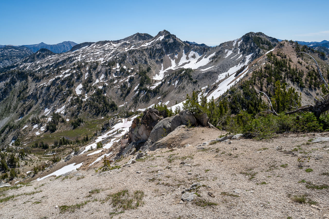
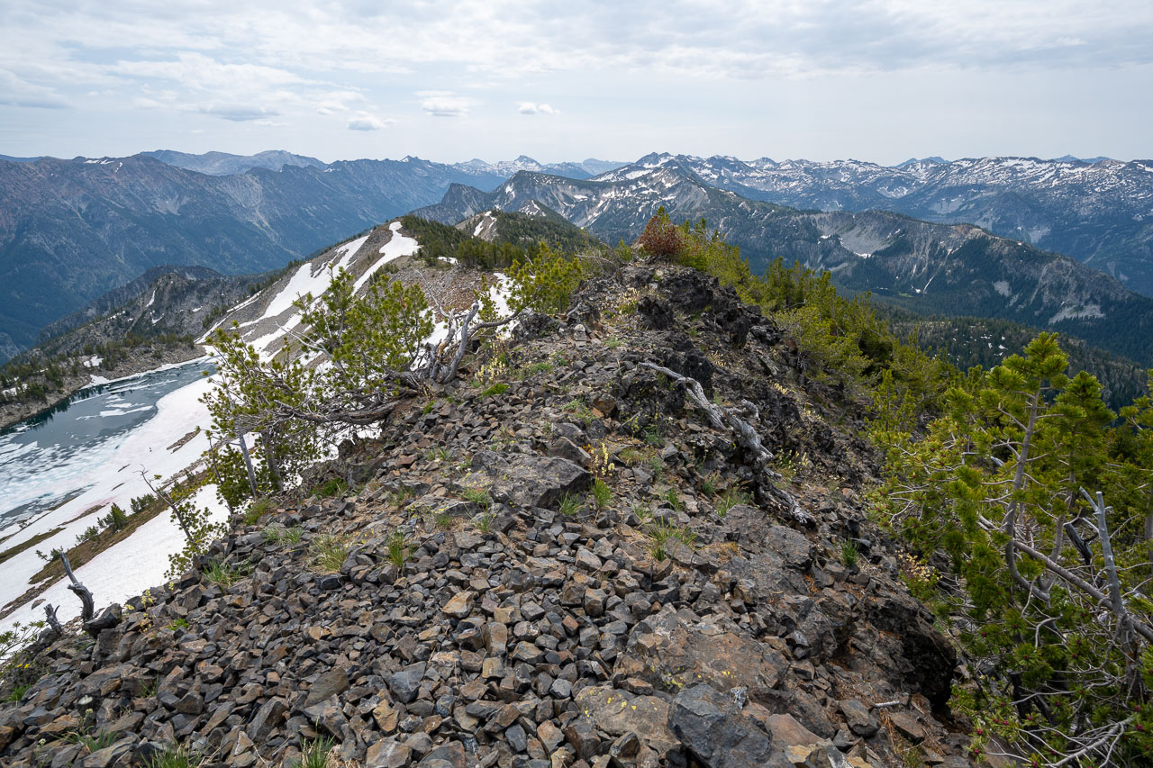
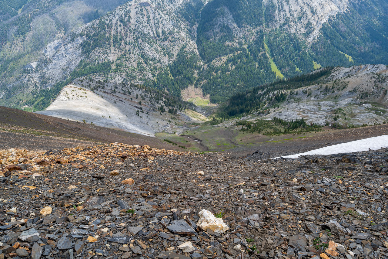
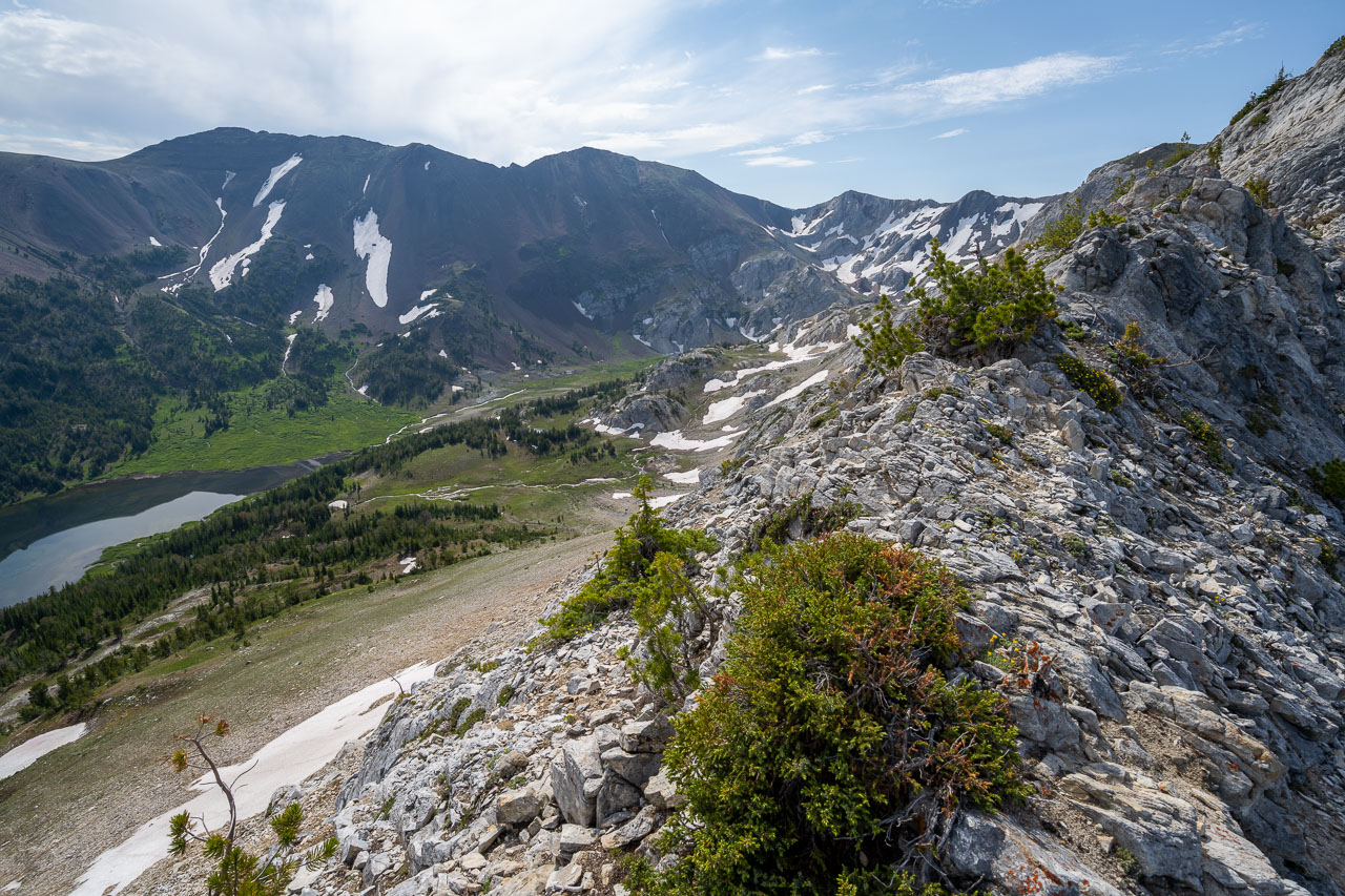
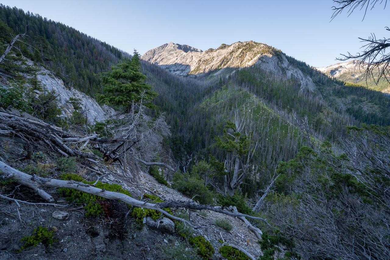
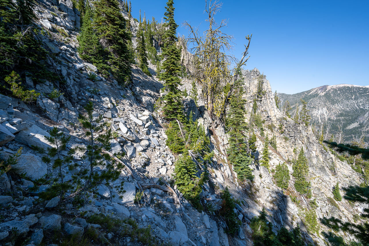
I left the trail at the final switchback and made my way up to the base of Marble Point. This had looked like it might be challenging from below, but I found a pretty straightforward Class 3 route leading up the ridge. From the summit I had a good view across the valley to Twin Peaks, one of the few Class 5 peaks in the area, and the north end of the Hurricane Divide. A more direct route from the summit would have continued south on the ridge from Marble Point, but I was interested in climbing the highpoint of Hurricane Divide, so I made my way back down the north ridge of Marble Point then followed a game trail into the Frances Lake Basin.
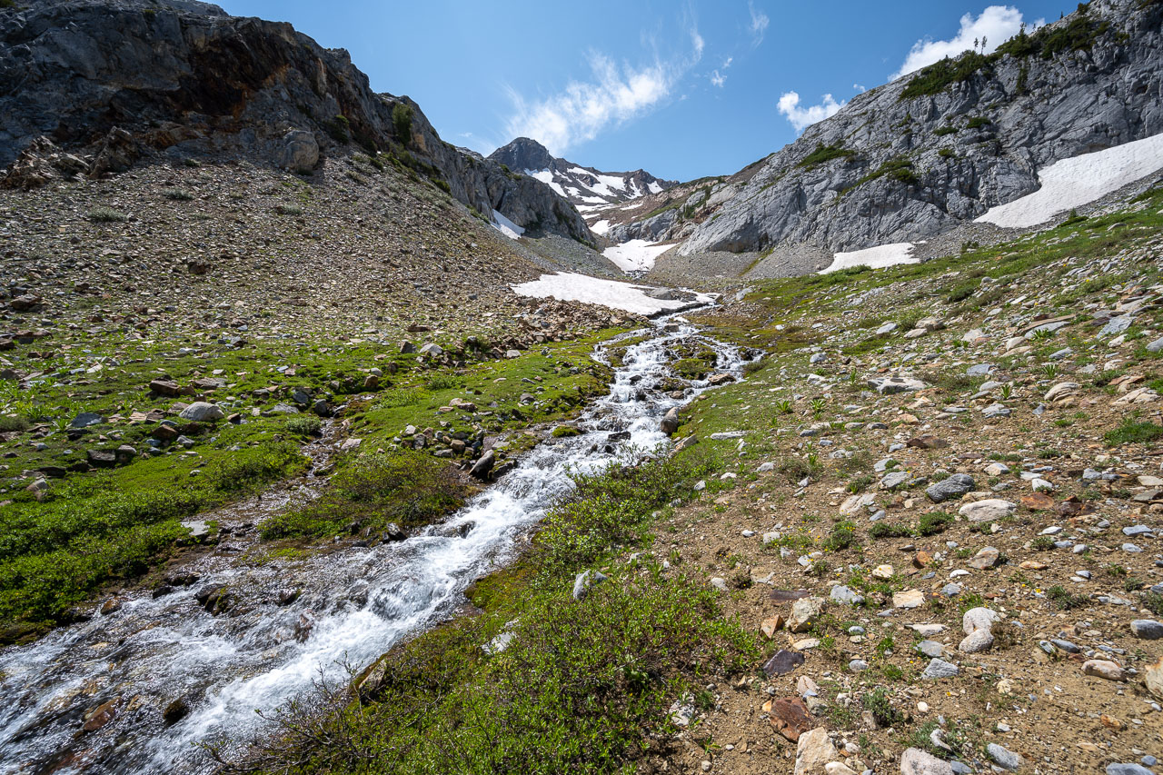
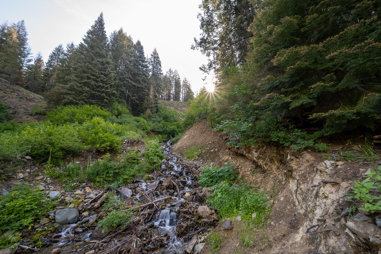
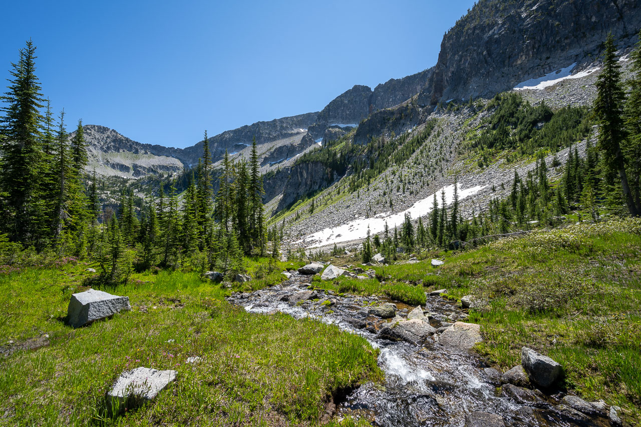
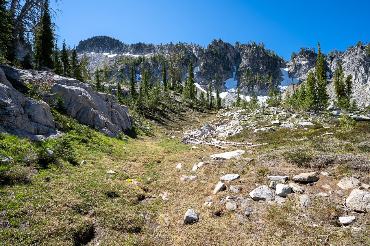
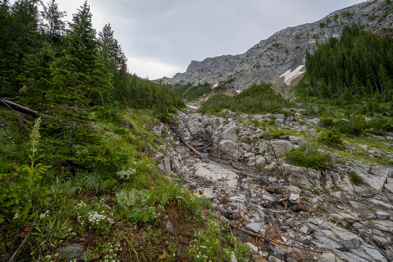
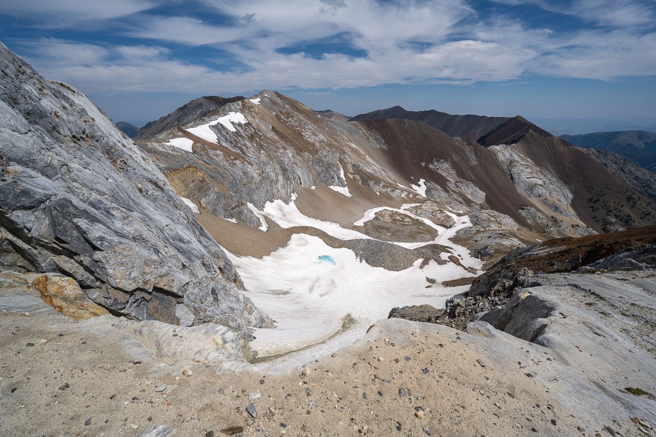
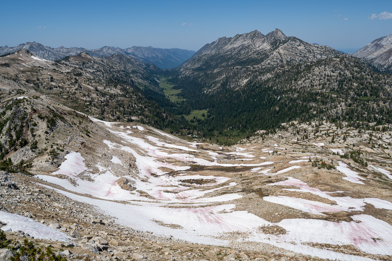
Once down in the valley I followed Lake Creek into the scenic upper bowl at the head of the canyon, then took the west slope up to the highpoint of Hurricane Divide. The summit had some of the best views of the day. To the south stood Sacajawea Peak and Matterhorn, two of the tallest peaks in the state. Just below the summit on the northeast side I could see Deadman Lake, which was still partially frozen. As I was making my way back down the ridge, I came across an impressive avalanche path that had gone down 4000ft into the canyon below and had then gone several hundred feet up the opposite side. Later in the day I would cross through that section on the trail.
My plan for the afternoon was to make my way down to Hurricane Creek. There was a trail leading down that way in the basin to the south, so I followed the Hurricane Divide in that direction. Along the way I went over a colorful peak listed on Peakbagger as Hinterstoisser Peak, which apparently has a snowfield that has some resemblance to a snowfield on the north face of the Eiger. Shortly after crossing Hinterstoisser I dropped off the ridge and made my way down to Echo Lake. Peak 8987 was close enough to the lake that I decided to drop my pack and do a short out-and-back to the summit. I made my way up the ridge separating Echo and Billy Jones Lake, which was mostly Class 2 with a few short sections of Class 3. The summit had a nice perspective across the valley to the near vertical west face of the Matterhorn.
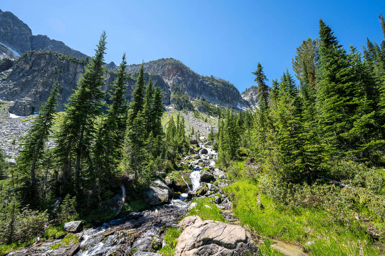
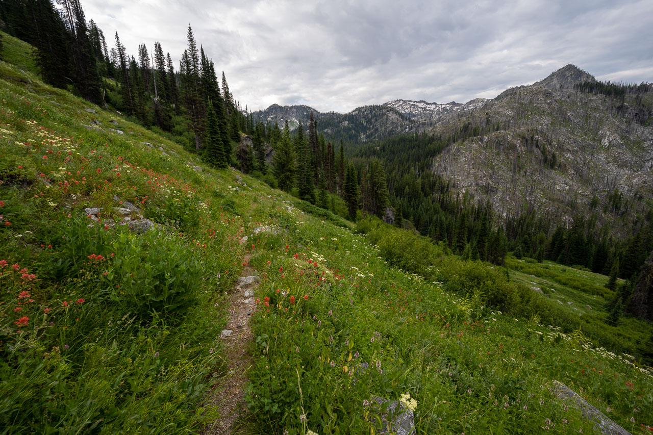
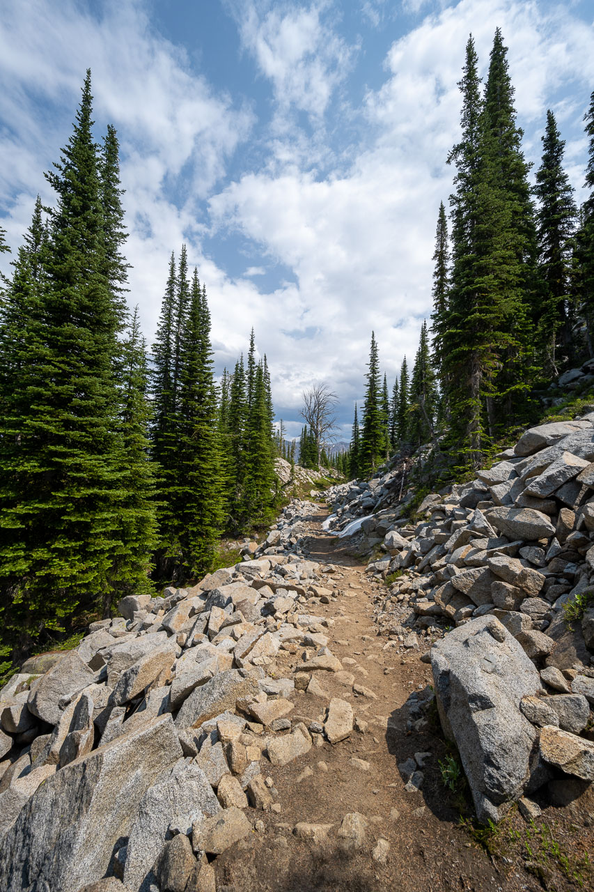
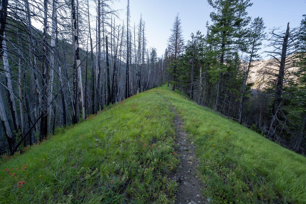
Retracing my route to my pack, I picked up the trail heading down Granite Creek. The trail led through a few scenic meadows before entering the forest down lower. Eventually I met up with the Hurricane Creek Trail down in the valley at an unsigned trail junction. A pile of rocks and some cut trees were all that marked the trail leading to Echo Lake. Once I was on the main trail, I had another three miles of hiking to reach the unsigned creek crossing leading to Sacajawea Peak. Along the way I passed through the avalanche path that I had seen earlier from the ridge. It was even more impressive down lower, with a huge swath of trees leveled for roughly a quarter mile. It seems like this area is prone to avalanches but judging by the number of large trees caught in the slide, this one must have been much bigger than normal.
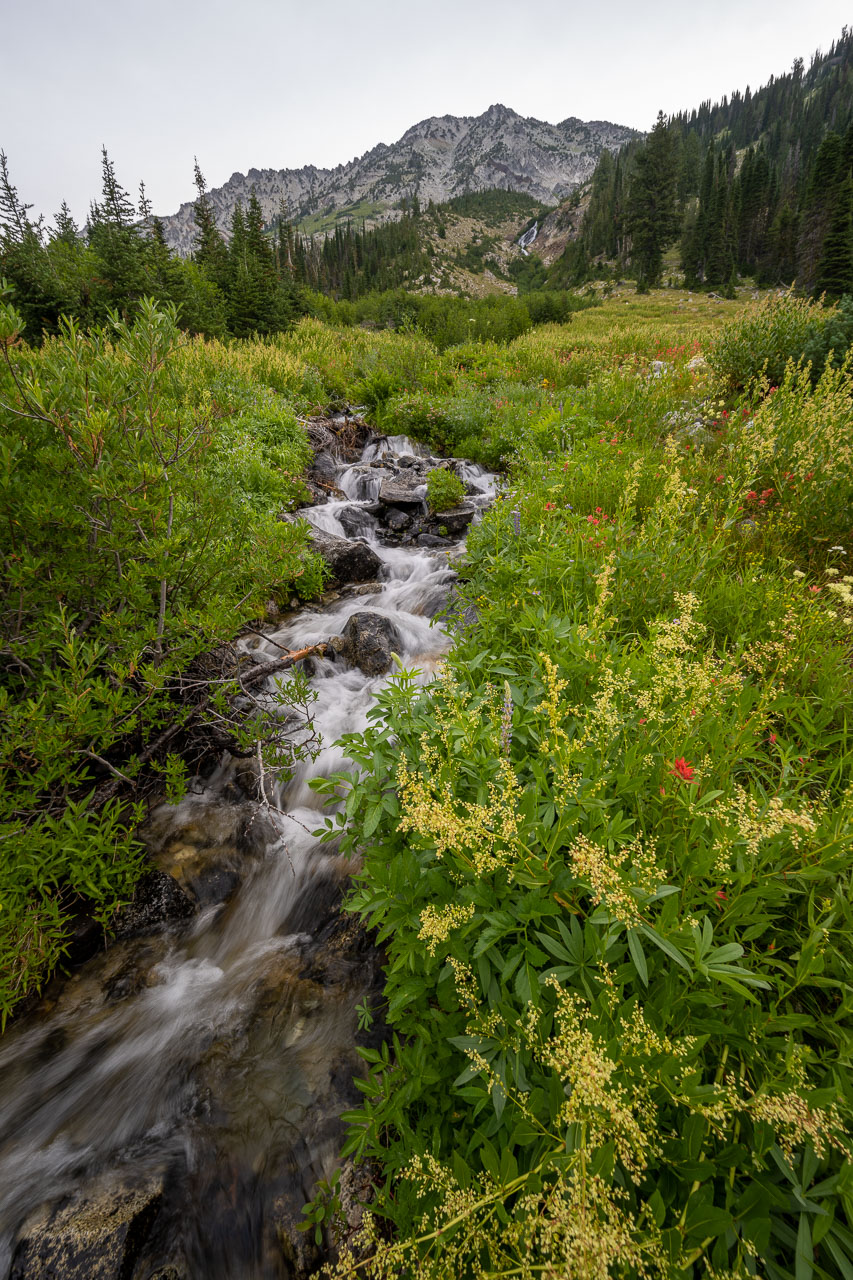
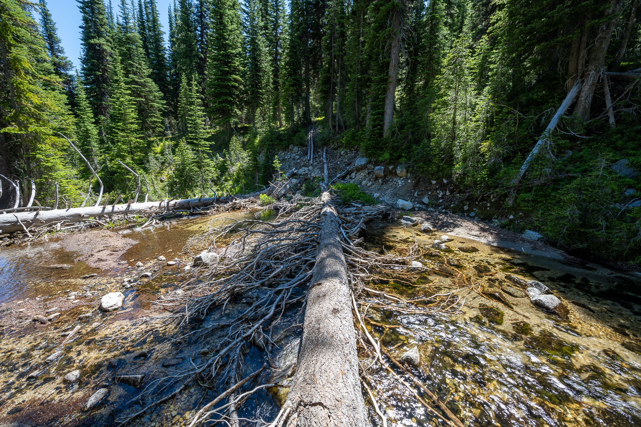
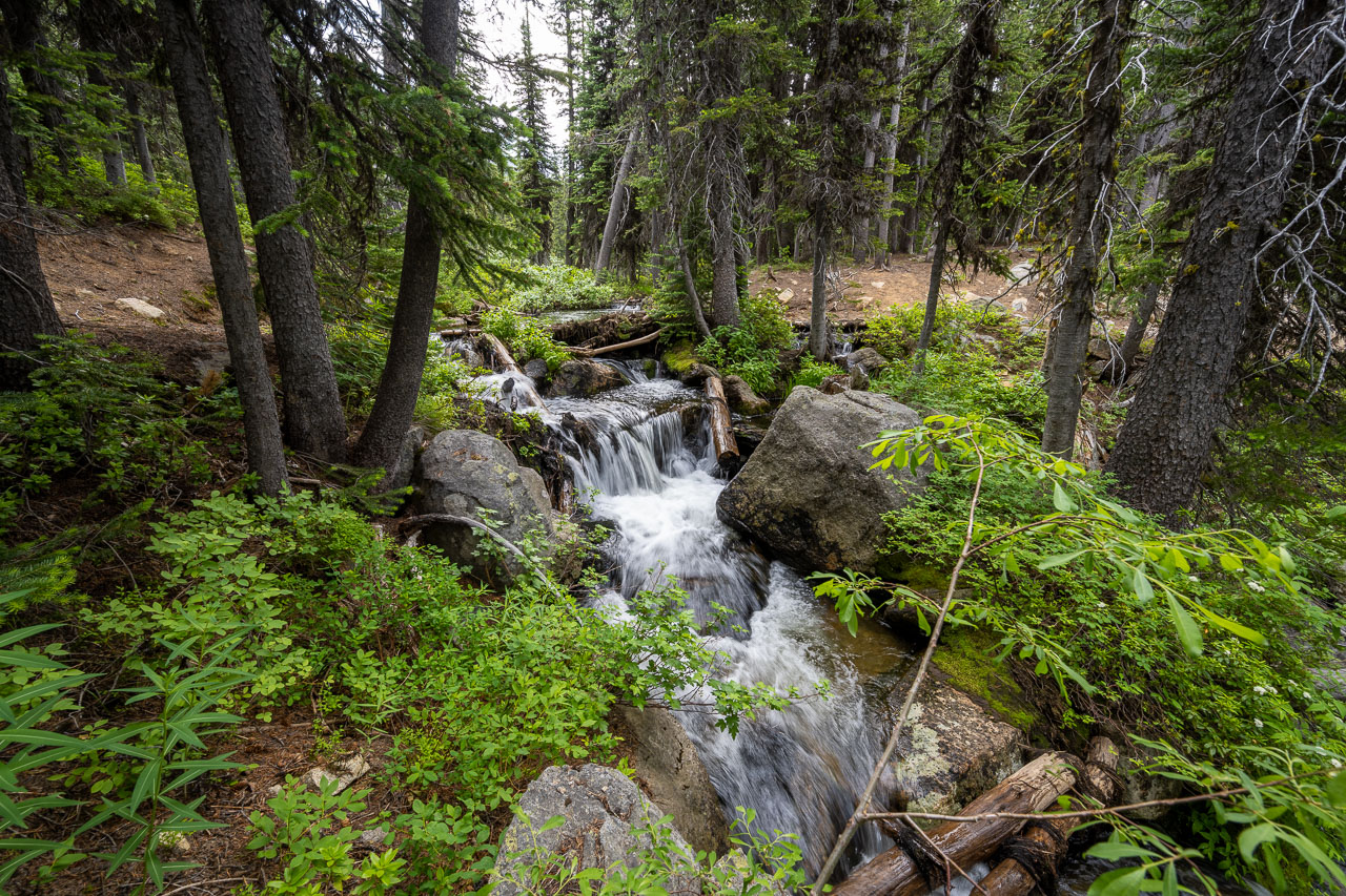
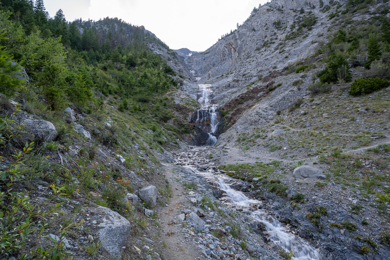
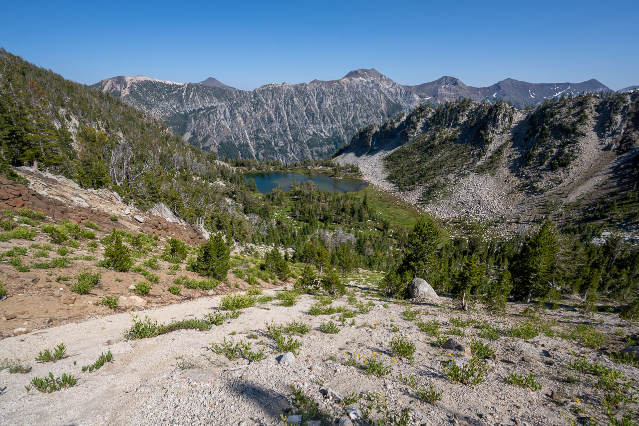
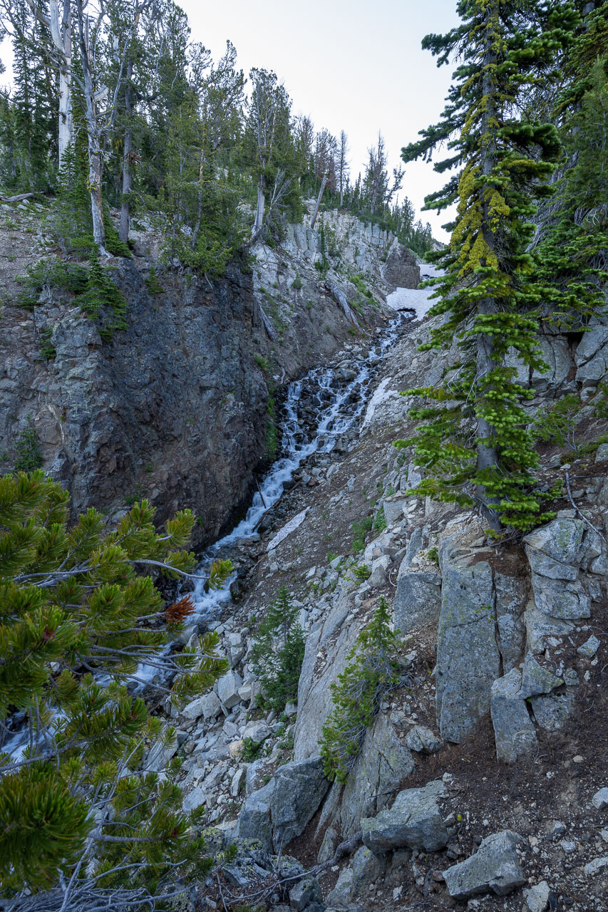
Before reaching camp, I passed one more scenic area where a waterfall was flowing down Slick Rock Creek. The were multiple sections of the waterfall that continued for as far as I could see up the canyon. With more time it would have been fun to go up and check it out more, but it was getting late in the day, so I only took a few pictures from below before continuing down the trail. About a mile below Slick Rock Creek I found the creek crossing. Some logs had been notched, which made for an easy crossing. Just across the creek I found a nice campsite that was next to the use trail I planned to take the following day to climb Sacajawea Peak.

16.6 Miles, 8050 Gain
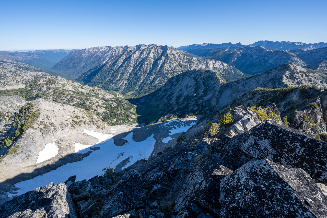
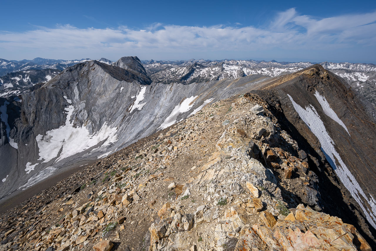
I broke camp and started up the use trail leading to Sacajawea Peak shortly after sunrise. Sacajawea is one of the most popular peaks in the Wallowa Mountains, so I wasn’t surprised to find the use trail in good condition. As I made my way higher up the canyon above Thorp Creek, the views of Sacajawea slowly started to improve. Eventually the trail dropped down to the creek and crossed it a few times on the way up to the Hurwal Divide and the upper basin below Sacajawea. There were a few nice campsites in the area, and I stopped to talk to one group that was just getting ready to start up the peak. After refilling on water out of the creek, I started up the Class 2 east ridge following a good use trail that I was able to take all the way to the summit. There were some really nice views from the top, including over to Matterhorn that I planned to visit next. I also spotted the first mountain goats I had seen the entire trip in the basin on the west side of the peak.
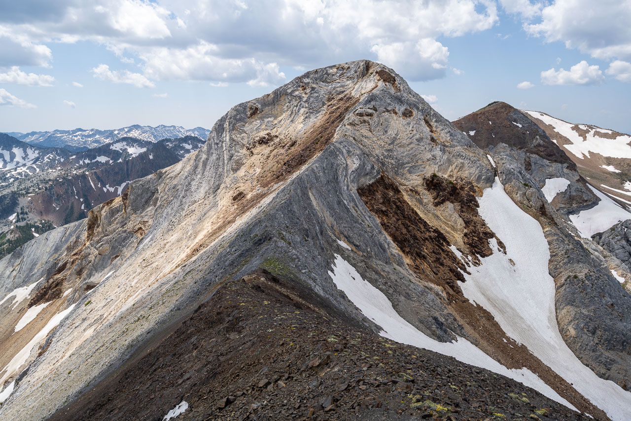
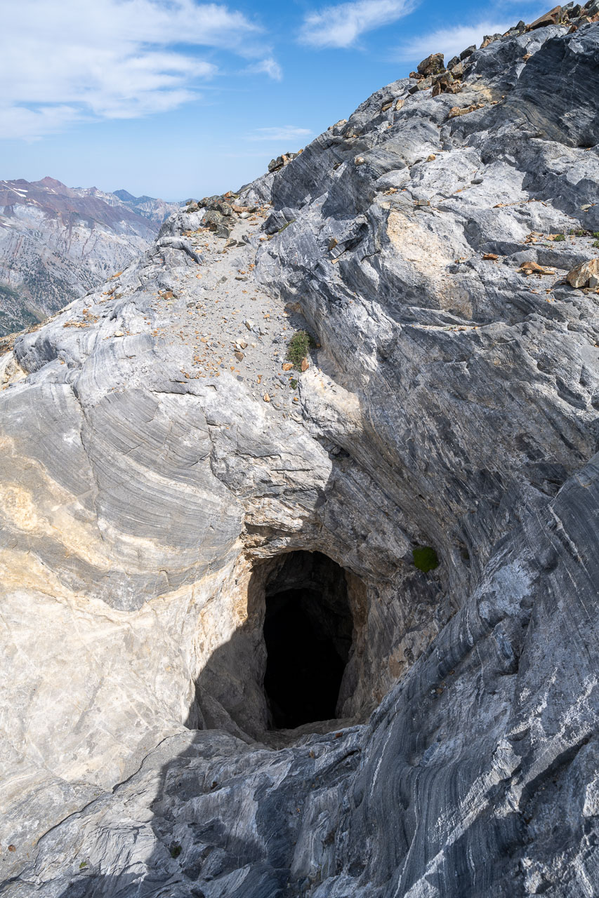
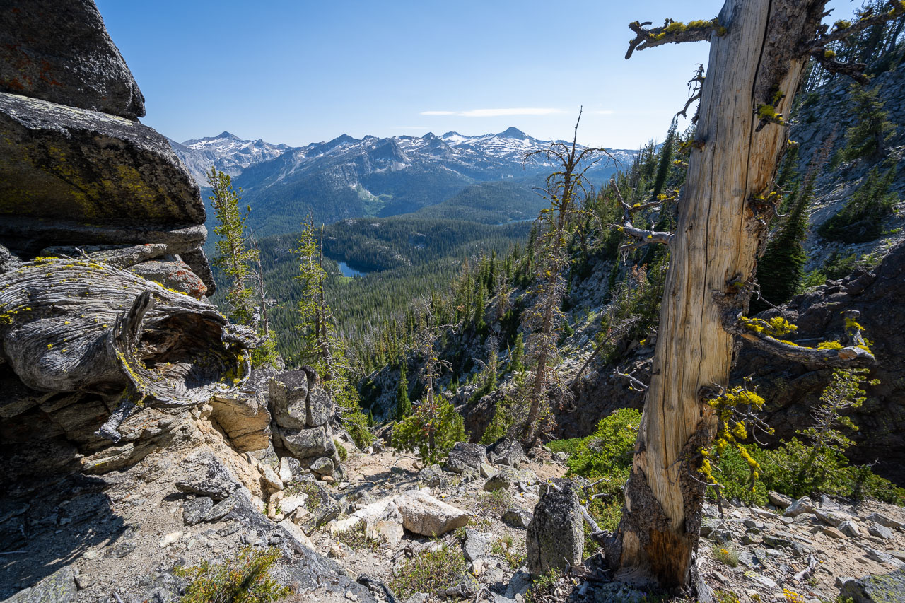
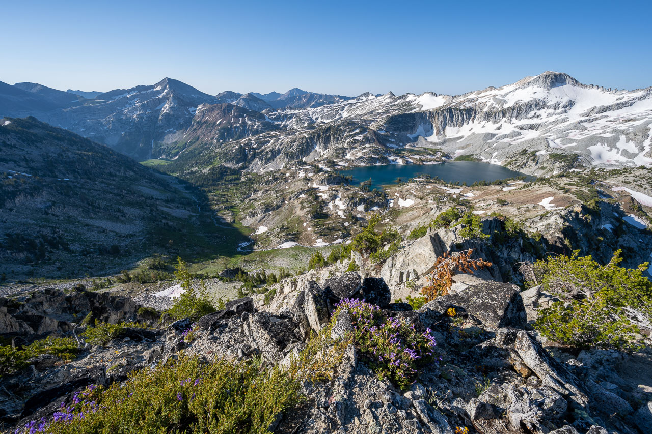
After taking a break on the summit, I started across the ridgeline connecting to Matterhorn. This was mostly Class 2, with one Class 3 section to get past a steeper section along the ridge. Interestingly, as I got closer to Matterhorn, I passed what appeared to be a natural cave descending vertically into the mountain. I looked down into the hole but couldn’t see the bottom. I am guessing it must eventually empty out onto the west face of Matterhorn. There were a few groups already at the summit of Matterhorn when I arrived. After tagging the summit, I went down the ridge a little and found a nice wind sheltered spot to take a break. From there, I could see out to the Lake Basin that I planned to reach later in the day. I knew from my view the previous day that I was standing at the very edge of the sheer west face of Matterhorn. From my vantage point I could only see the upper couple hundred feet, but I knew that it dropped off near vertical for well over 1000ft below me. I had seen this face from many of the other summits I had been on, so it was nice to finally be on top.
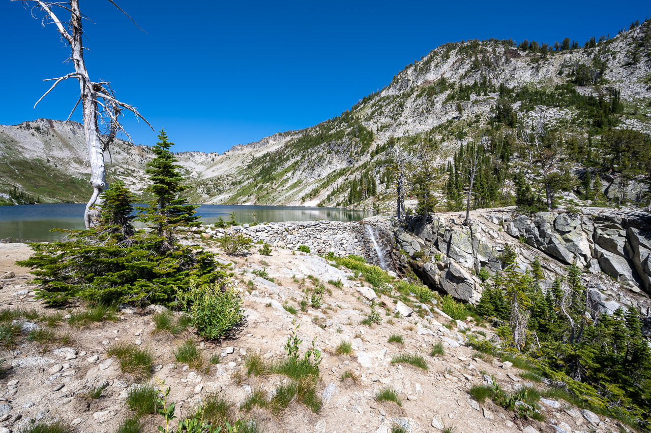
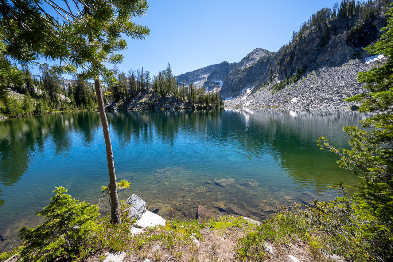
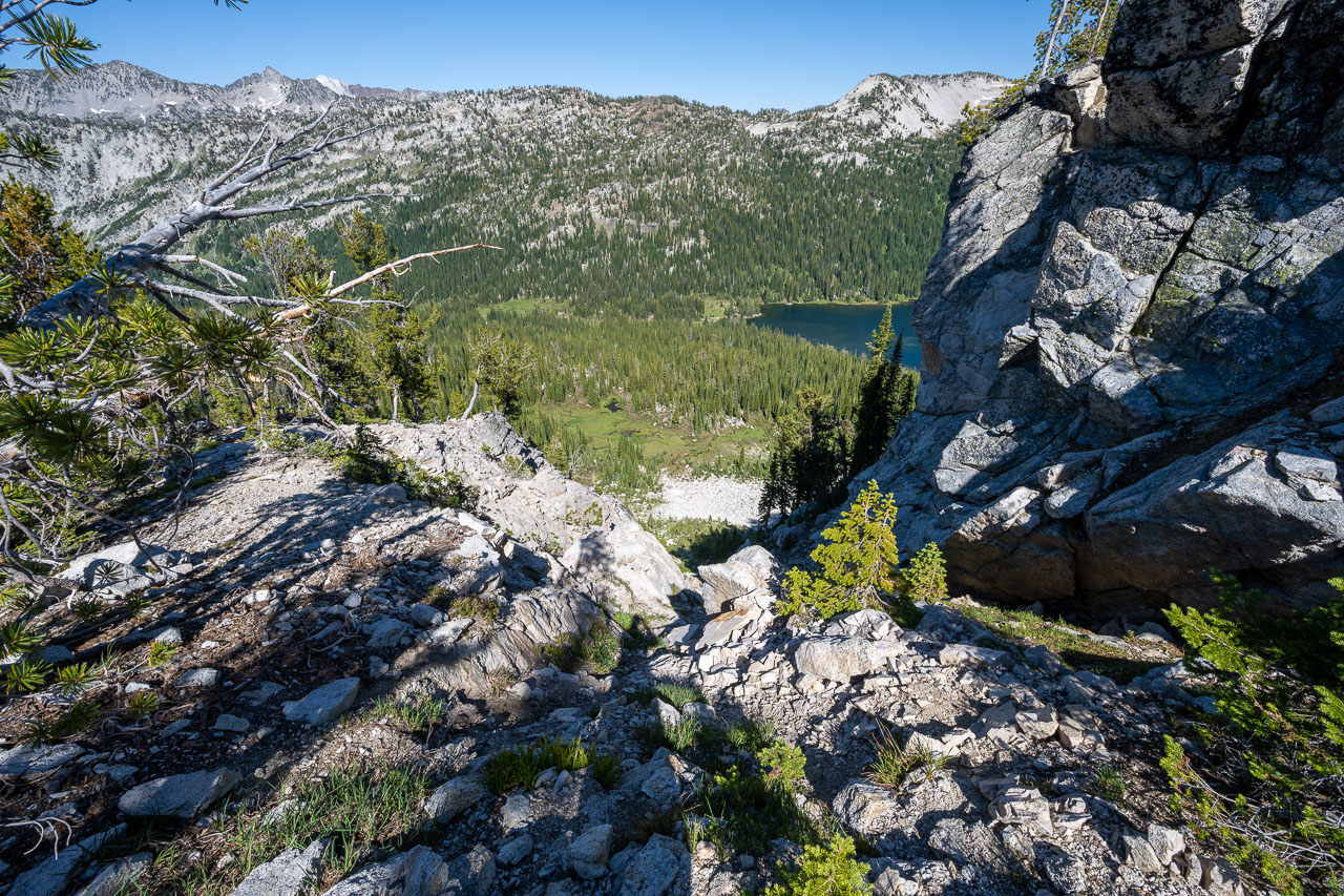
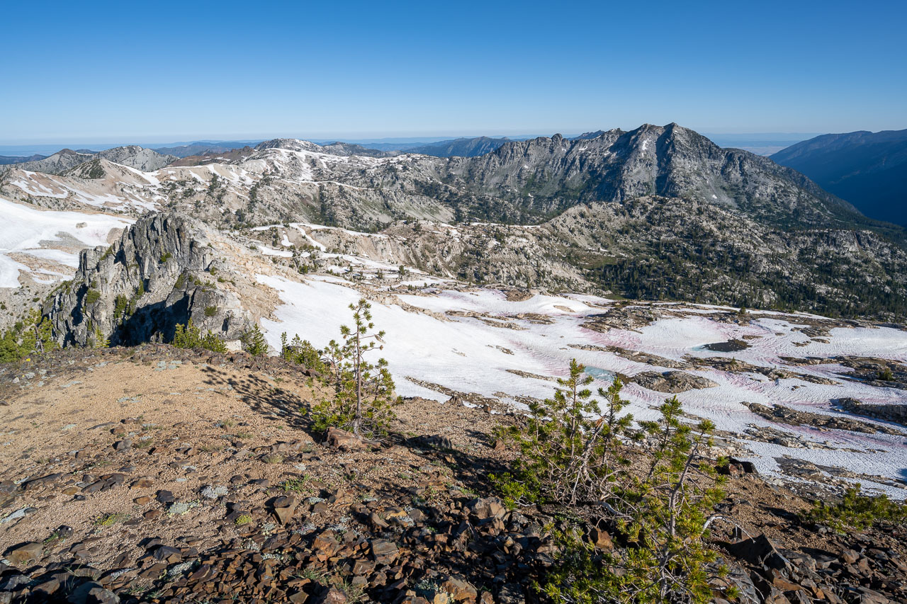
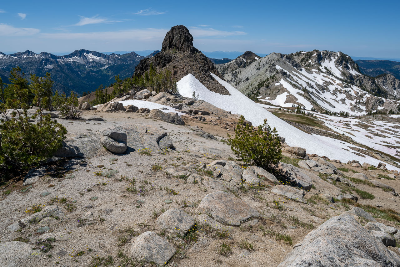
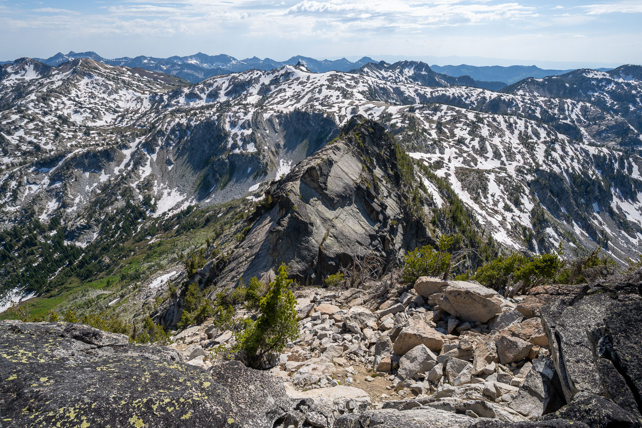
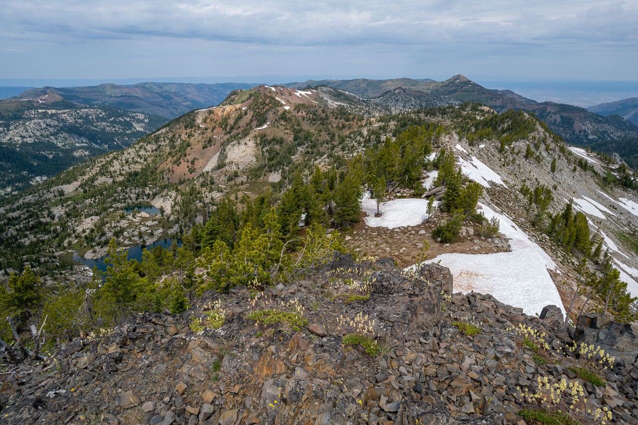
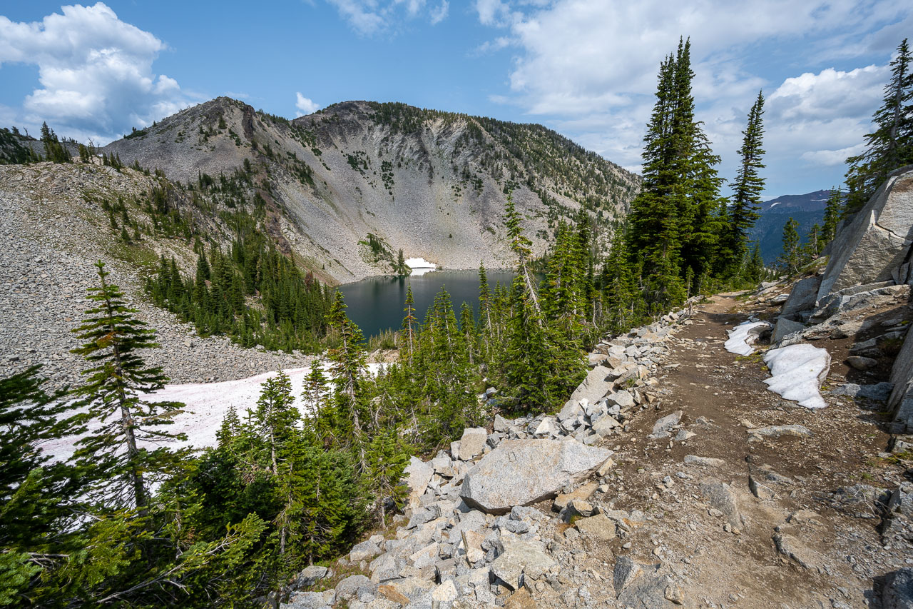
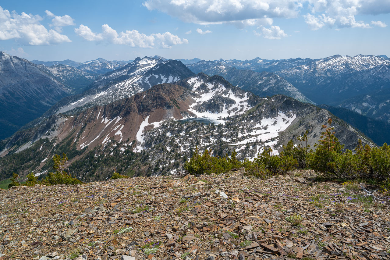
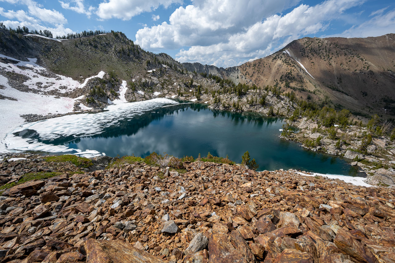
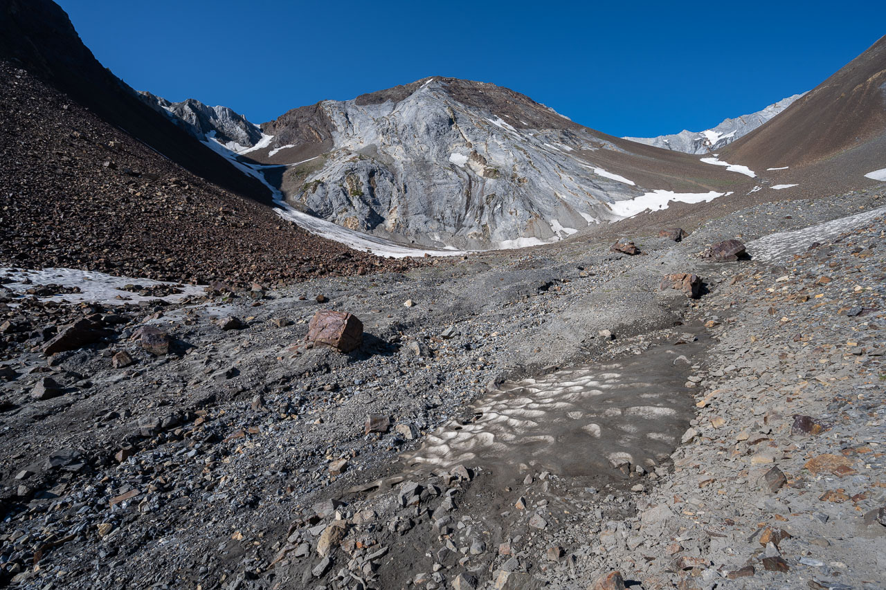
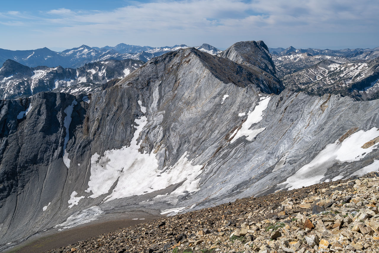
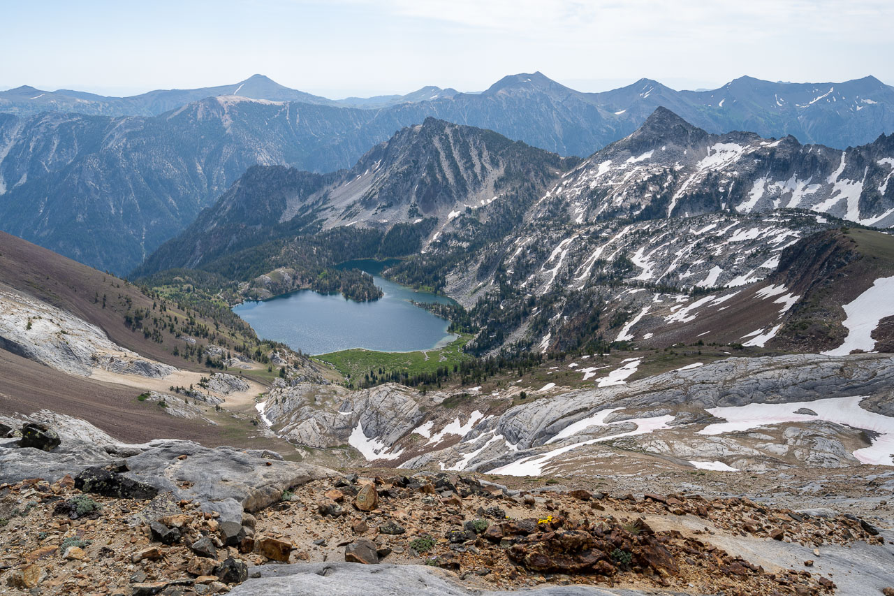
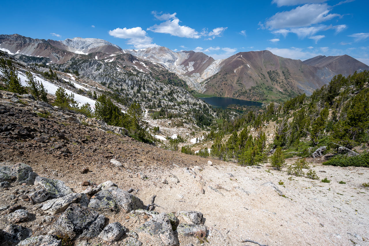
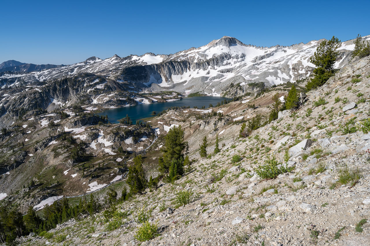
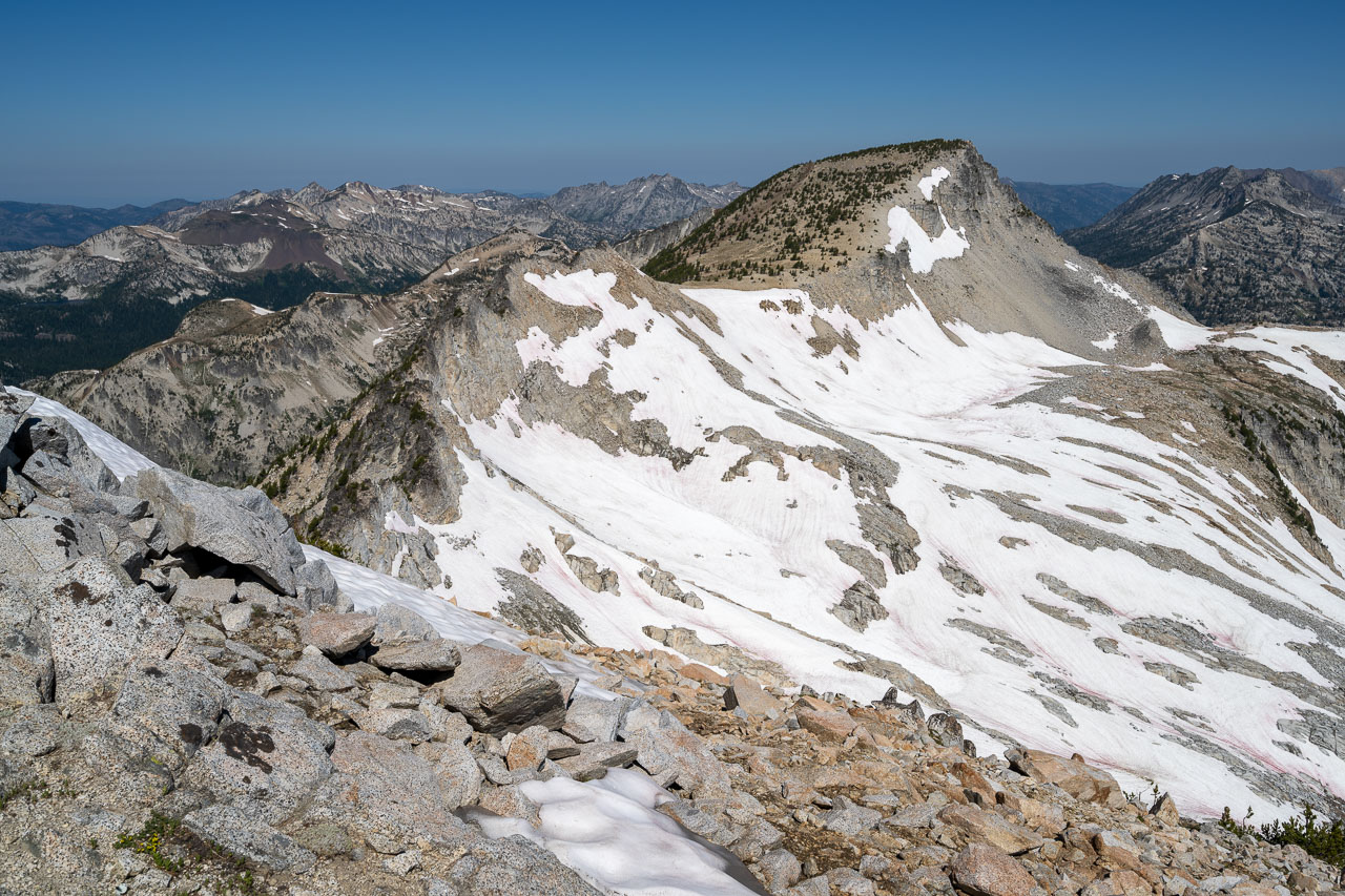
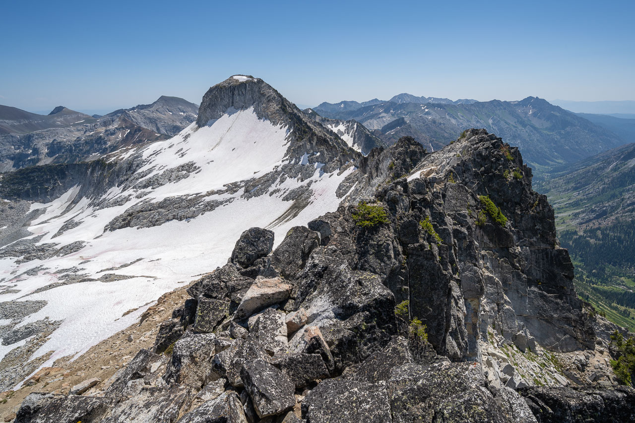
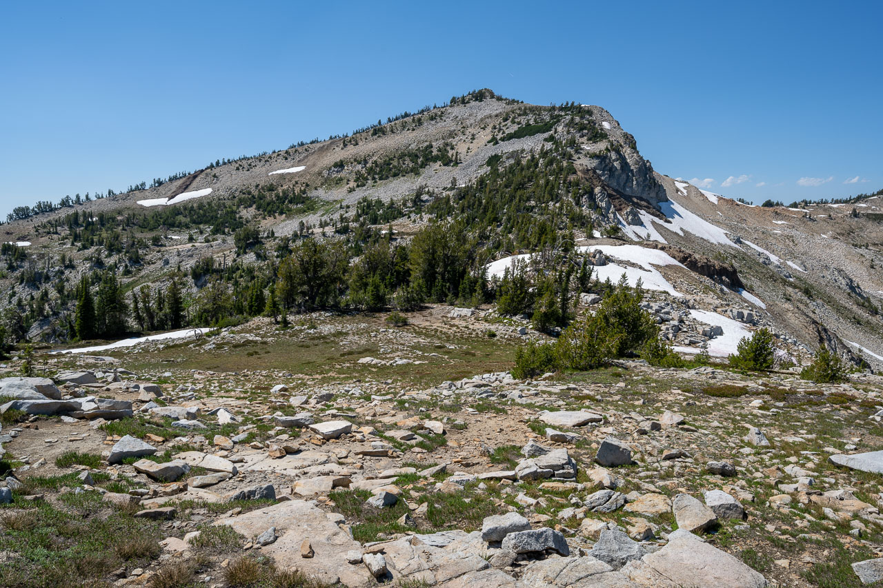
To reach Lake Basin I was planning to descend past Ice Lake, then take an unnamed pass to the south. I had no trouble picking up the use trail as I started down the east ridge of Matterhorn. On my way down I passed about a dozen groups making their way up the mountain, which was more people than I had seen on all previous days of the trip combined. Once down at Ice Lake, I continued around the south side of the lake past a large number of tents before the use trail I had been following eventually ended. From there I angled up towards the pass, finding a mostly open slope on my way up. There was a peak on each side of the pass, so before continuing on to Lake Basin I set out to climb them both.
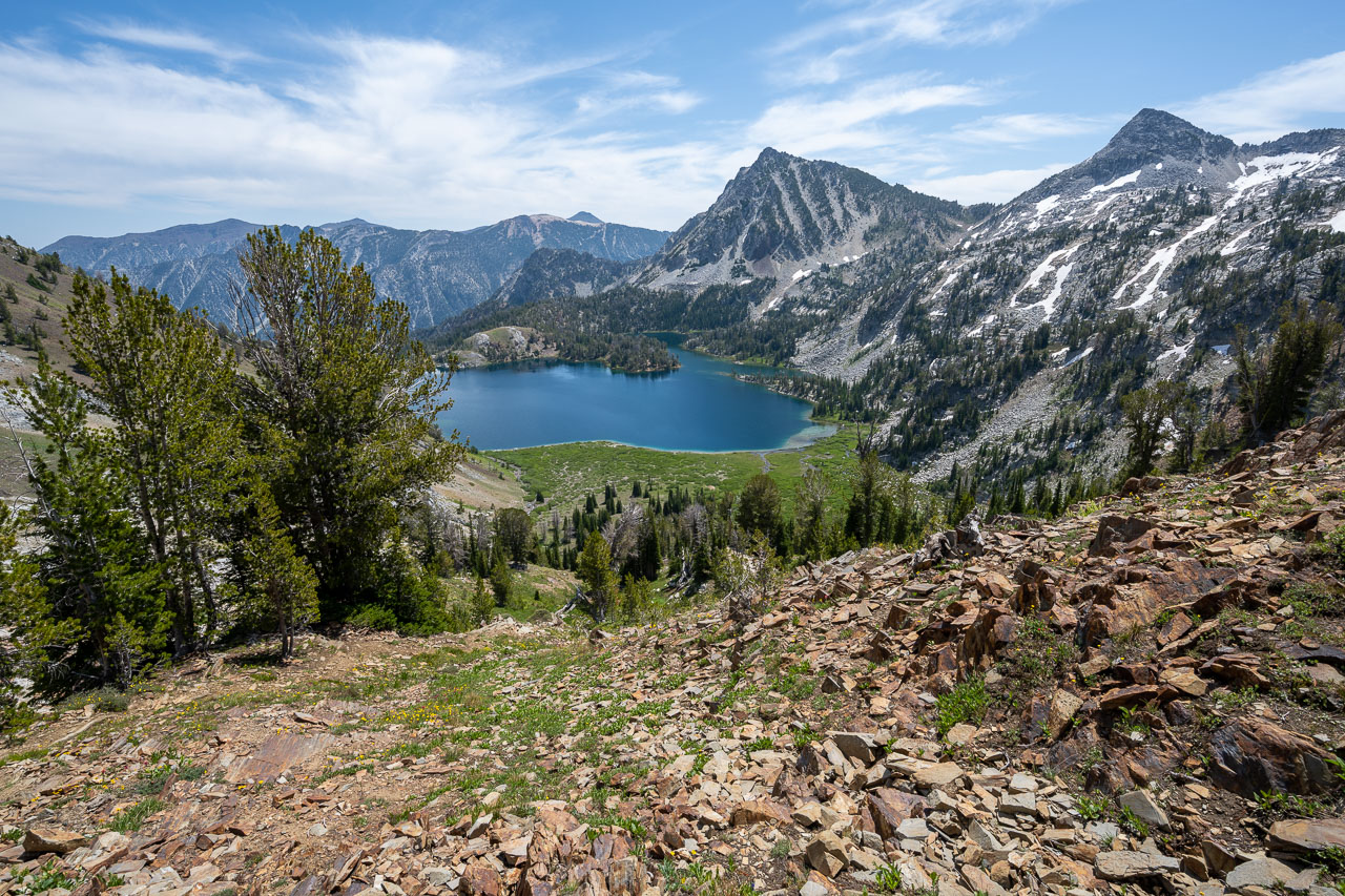
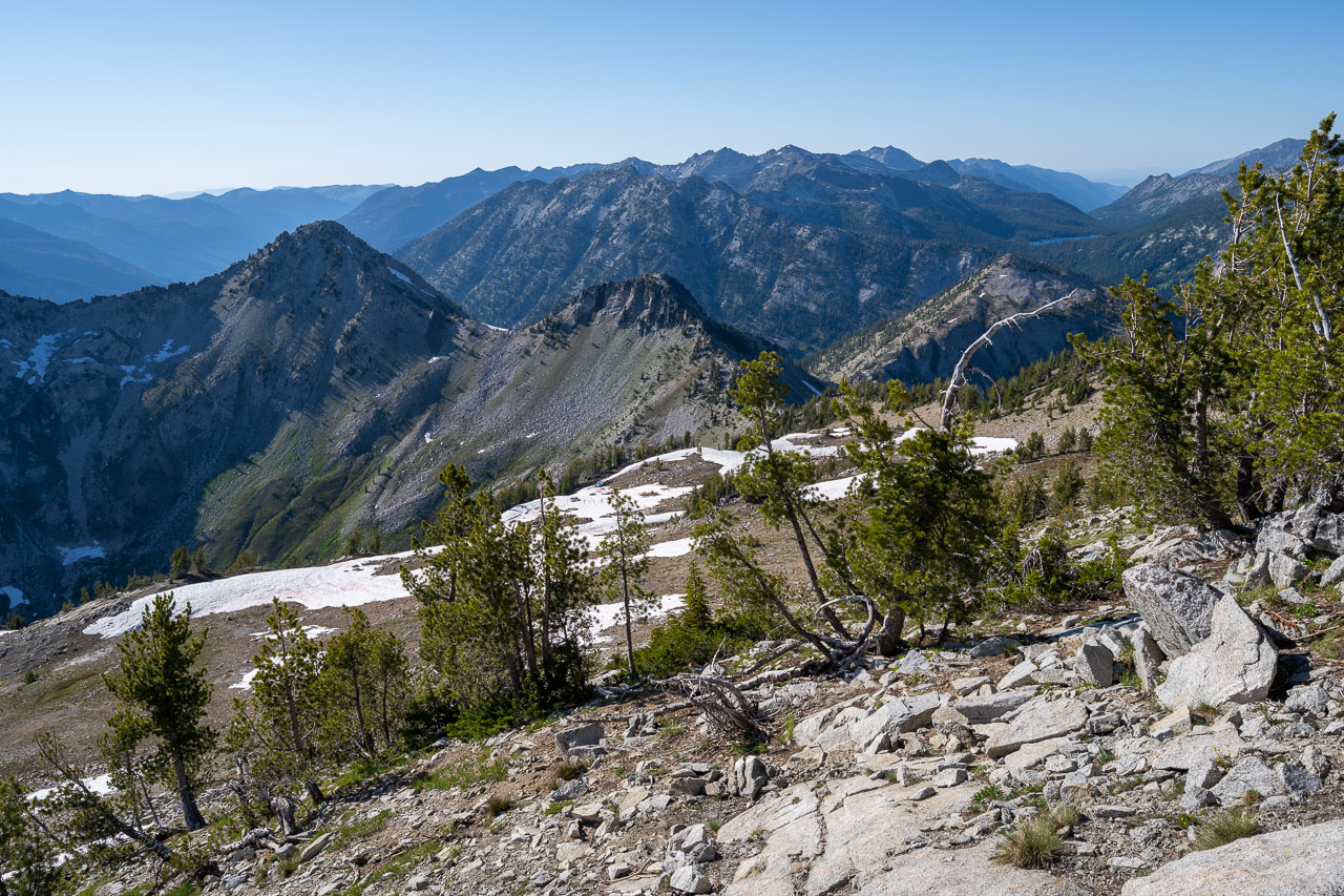
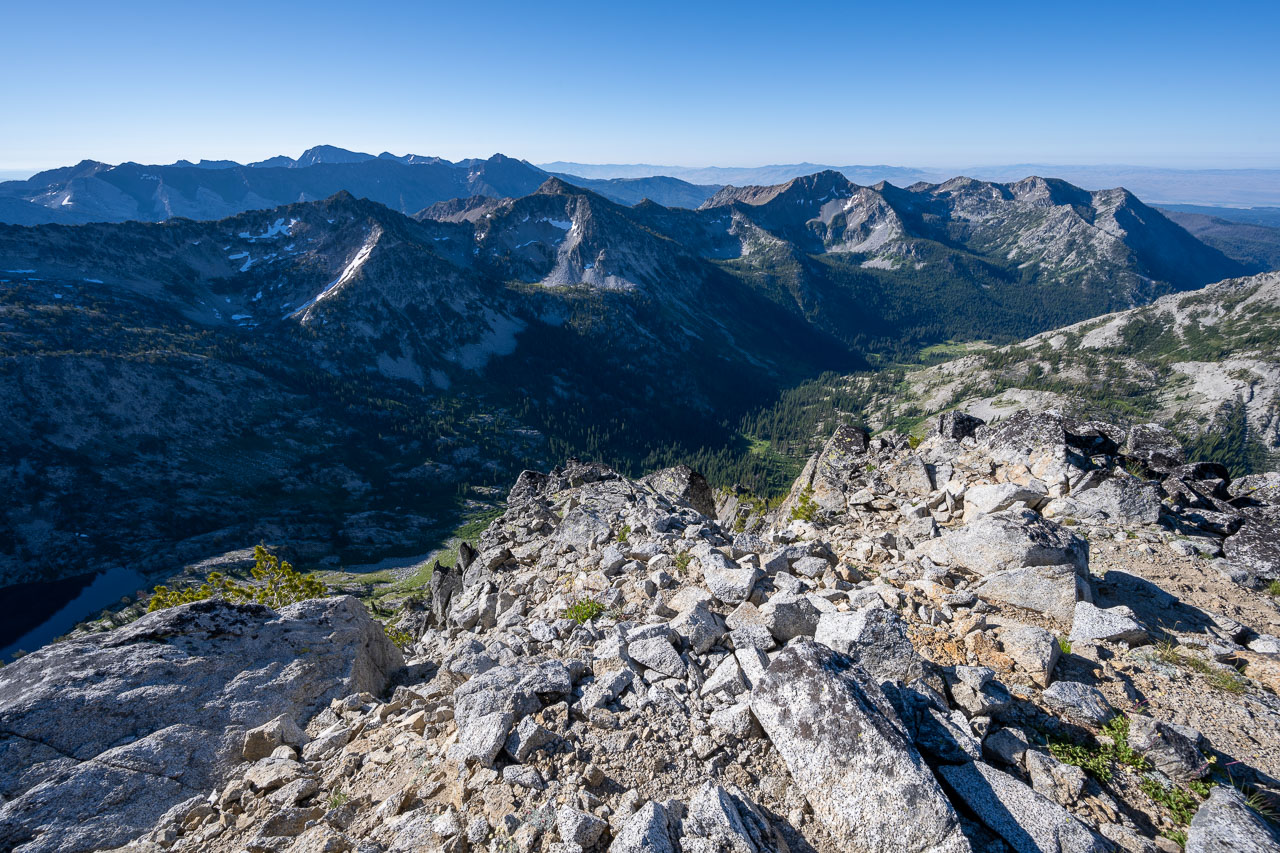
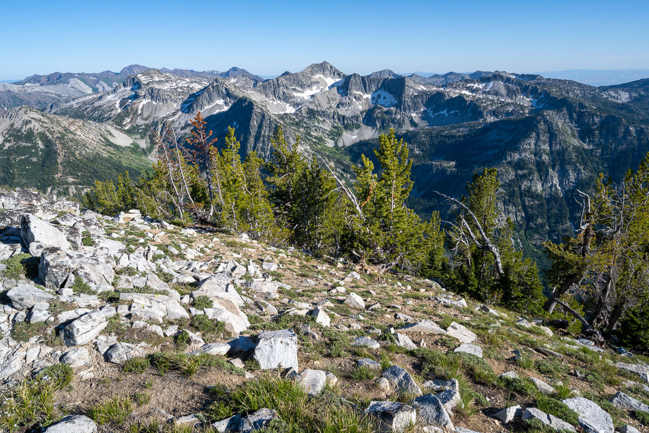
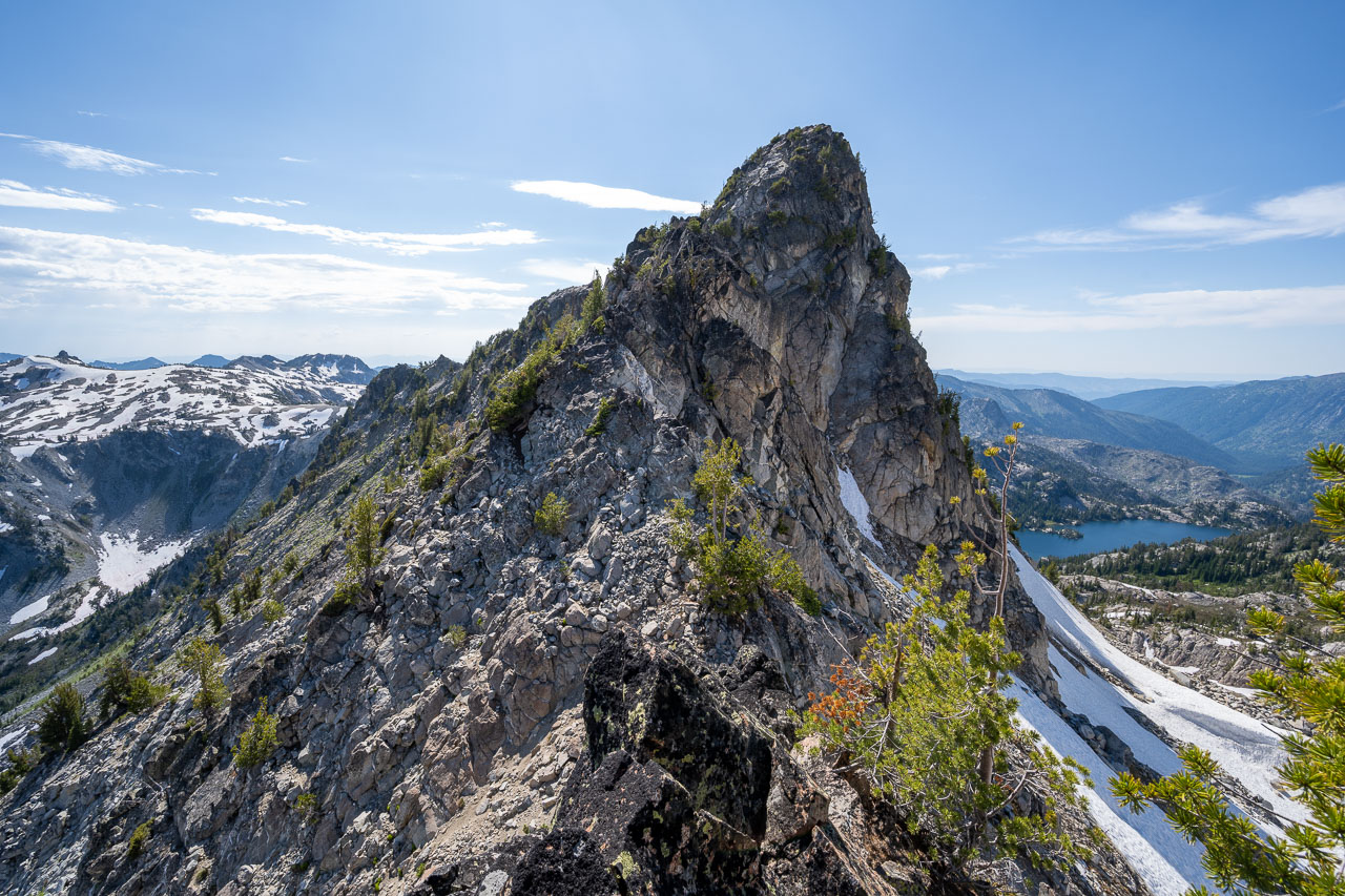
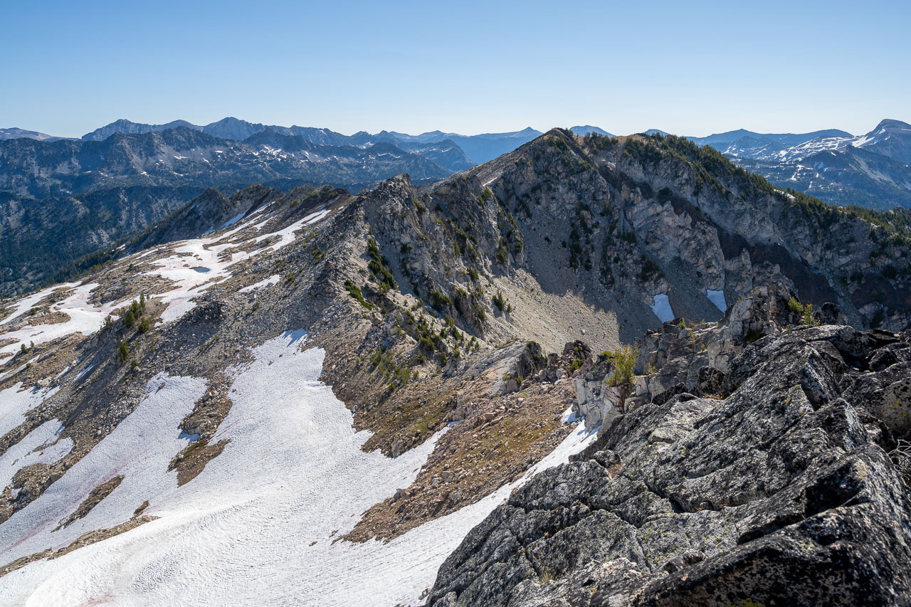
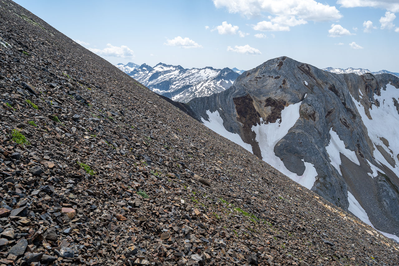
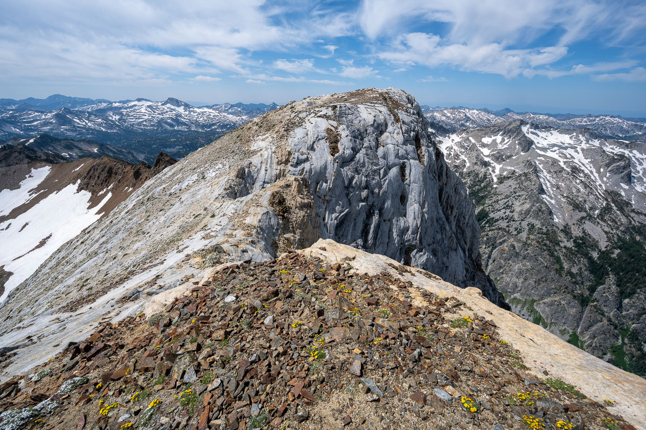
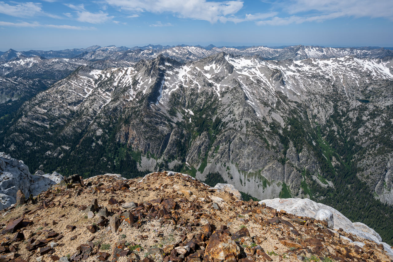
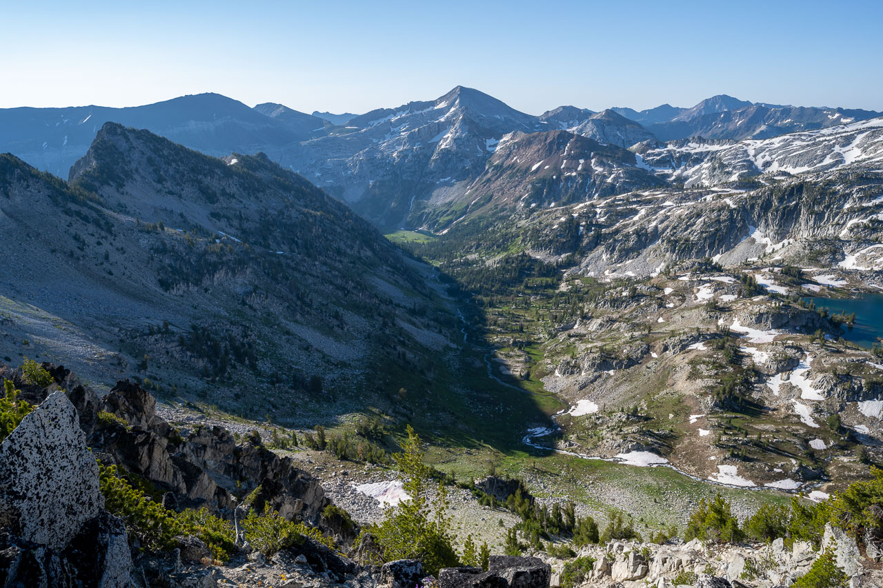
I went up Craig Mountain first. The west slope did not look very appealing from the pass. It was mostly covered in dense trees that looked like it would be slow going. This turned out to be the case, although part way up I went over the ridge to the south and found the terrain more open there. There was a nice view from the summit down to Ice Lake, as well as the next peak I was planning to climb on the west side of the pass. I picked out a slightly better line on my way back to the pass, then started up Peak 9314. This turned out to have the best climbing of the day. Much of my route up was Class 3 with some optional steeper climbing to reach summit. From the summit I had a good view out to Lake Basin. After studying the route I was planning to take over to Mirror Lake, I dropped back down to my pack and descended the south side of the pass on a nice sandy slope.
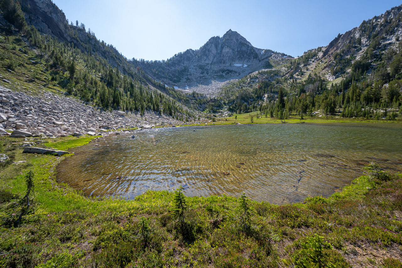
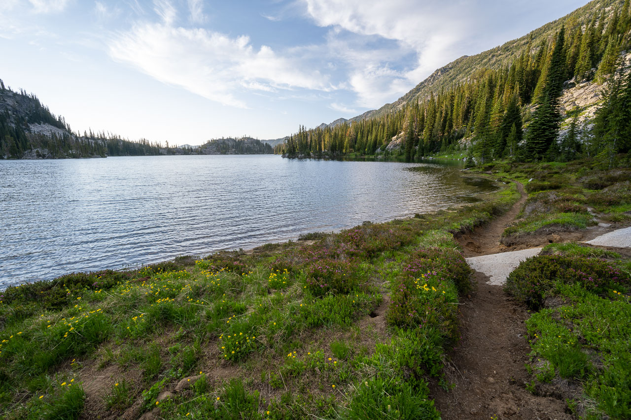
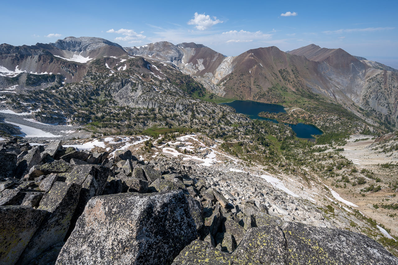
I passed an unnamed lake below the pass then contoured around a ridgeline before heading for Lake Basin. Unfortunately, I went a little too high on my traverse and ended up on some loose slopes. To get lower I had to downclimb through a cliffband before reaching easier forested terrain below. A better line would have dropped a few hundred feet further down from the outlet of the lake before starting the traverse. Once down in the forest, I maintained a general heading leading toward Horseshoe Lake. Near the lake I picked up the trail and followed that up to Mirror Lake. Along the way I passed a number of other scenic lakes, and it became clear why the area is so popular. Arriving at Mirror Lake, I found that most of the best tent sites had already been taken, but after some searching I eventually found a nice spot above the creek overlooking Moccasin Lake.
11.4 Miles, 5200 Gain
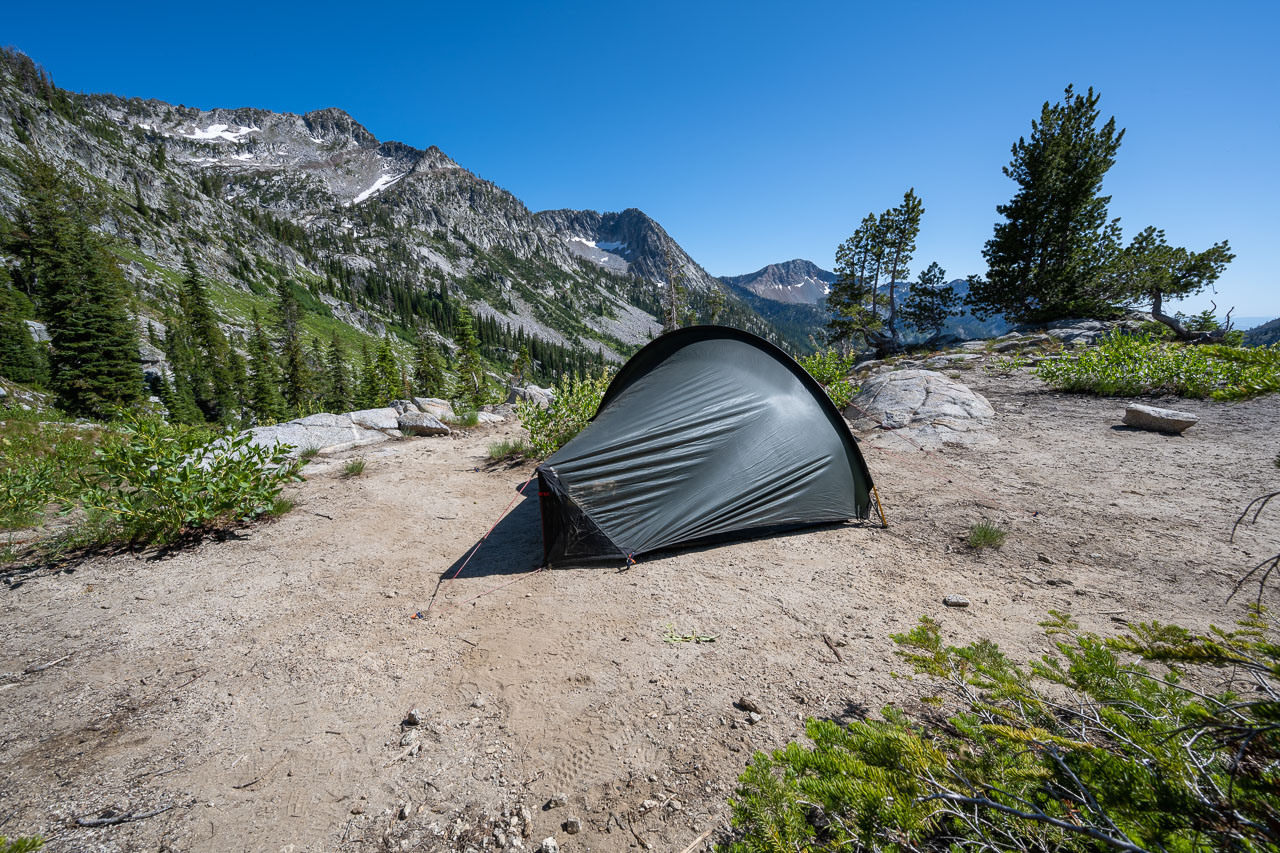
The second to last day of the trip was the only day that I wasn’t planning to move camp. This meant a light daypack for the entire day, which was a nice change of pace. I got another early start and was moving shortly after sunrise. I had planned a loop that would allow me to tag a few peaks in the vicinity of Glacier Lake, including Eagle Cap which is the namesake of the wilderness area that I had been travelling through.
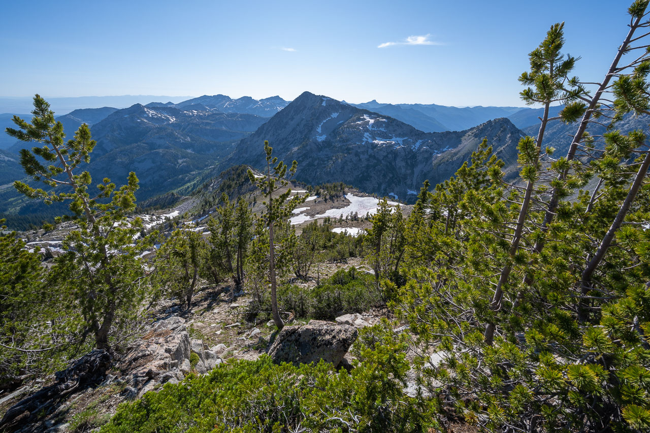
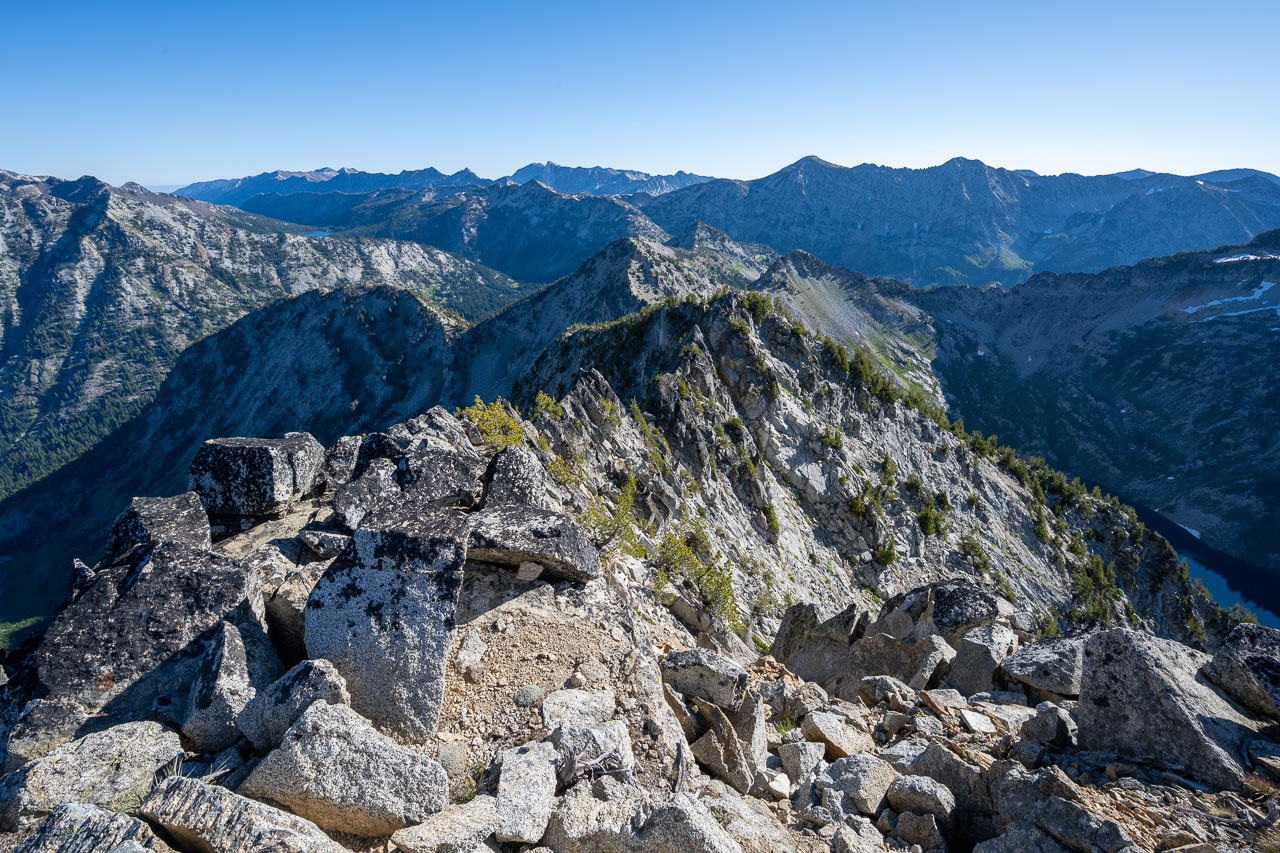
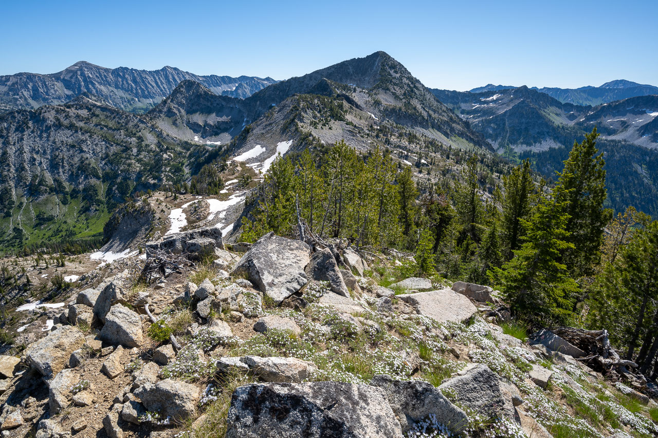
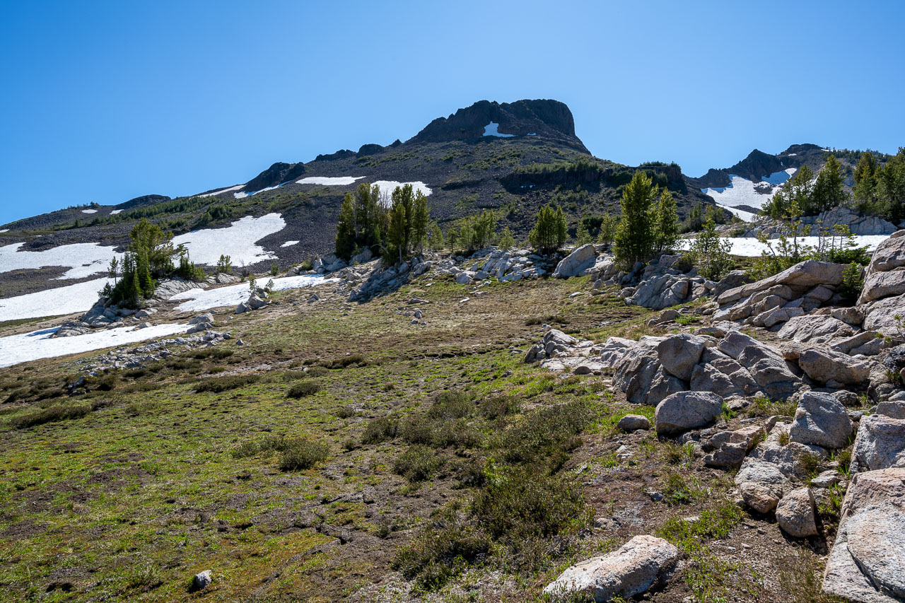
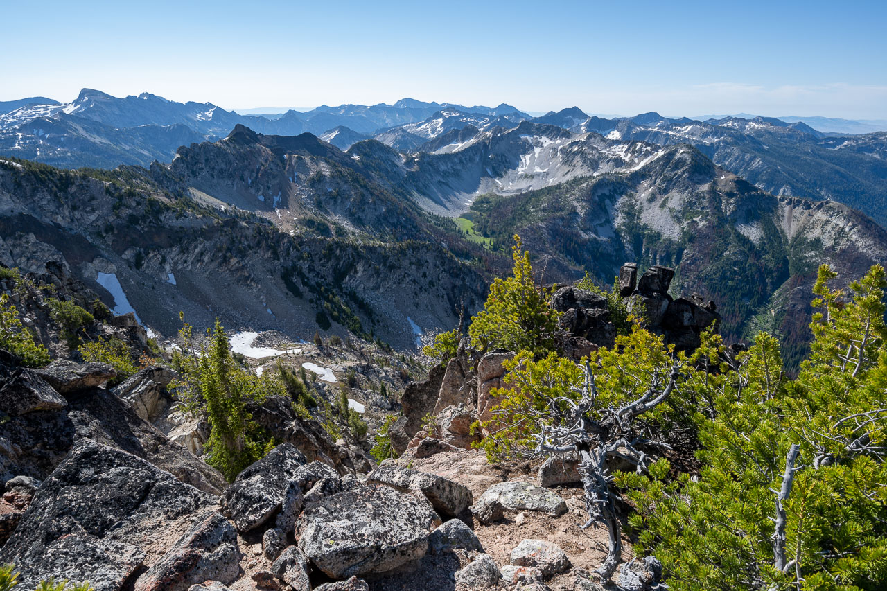
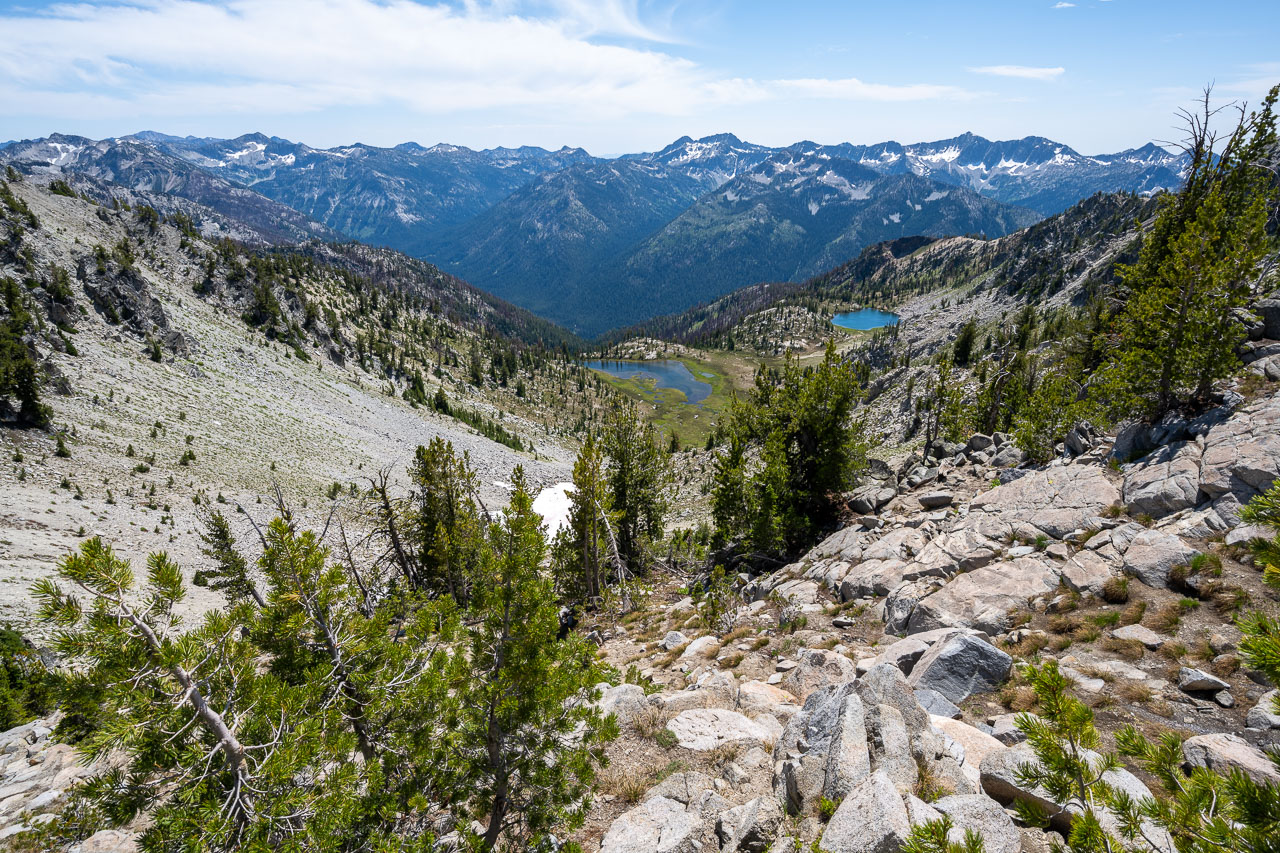
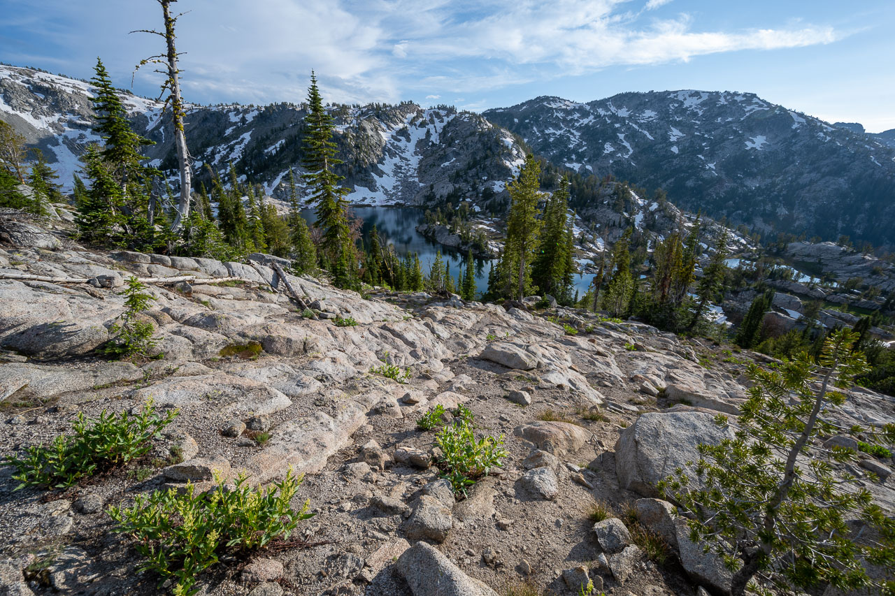
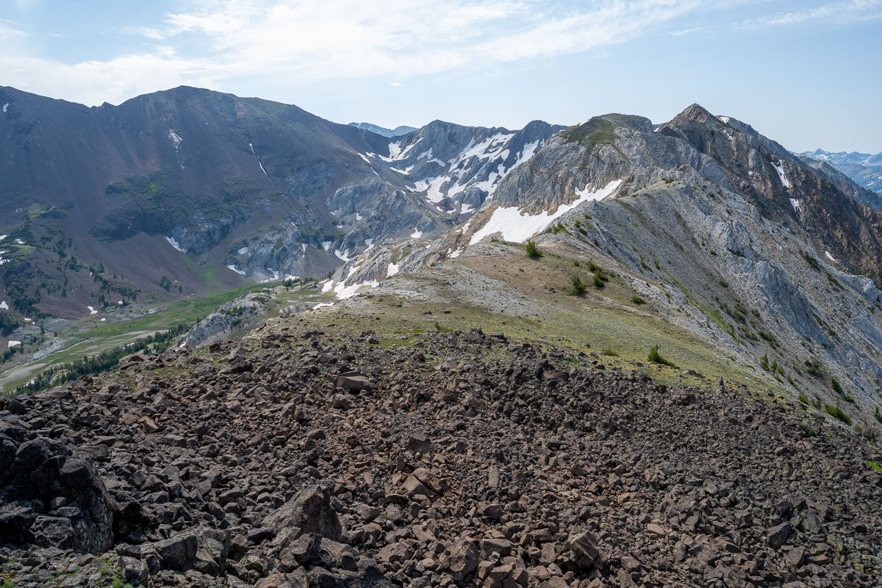
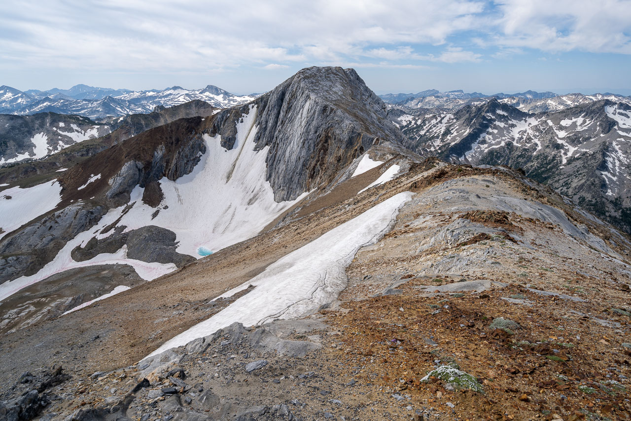
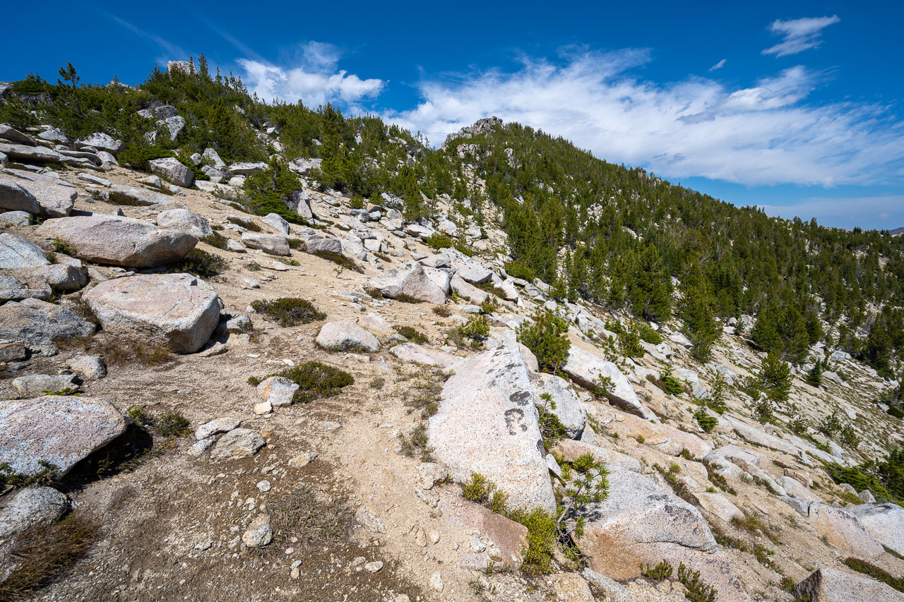
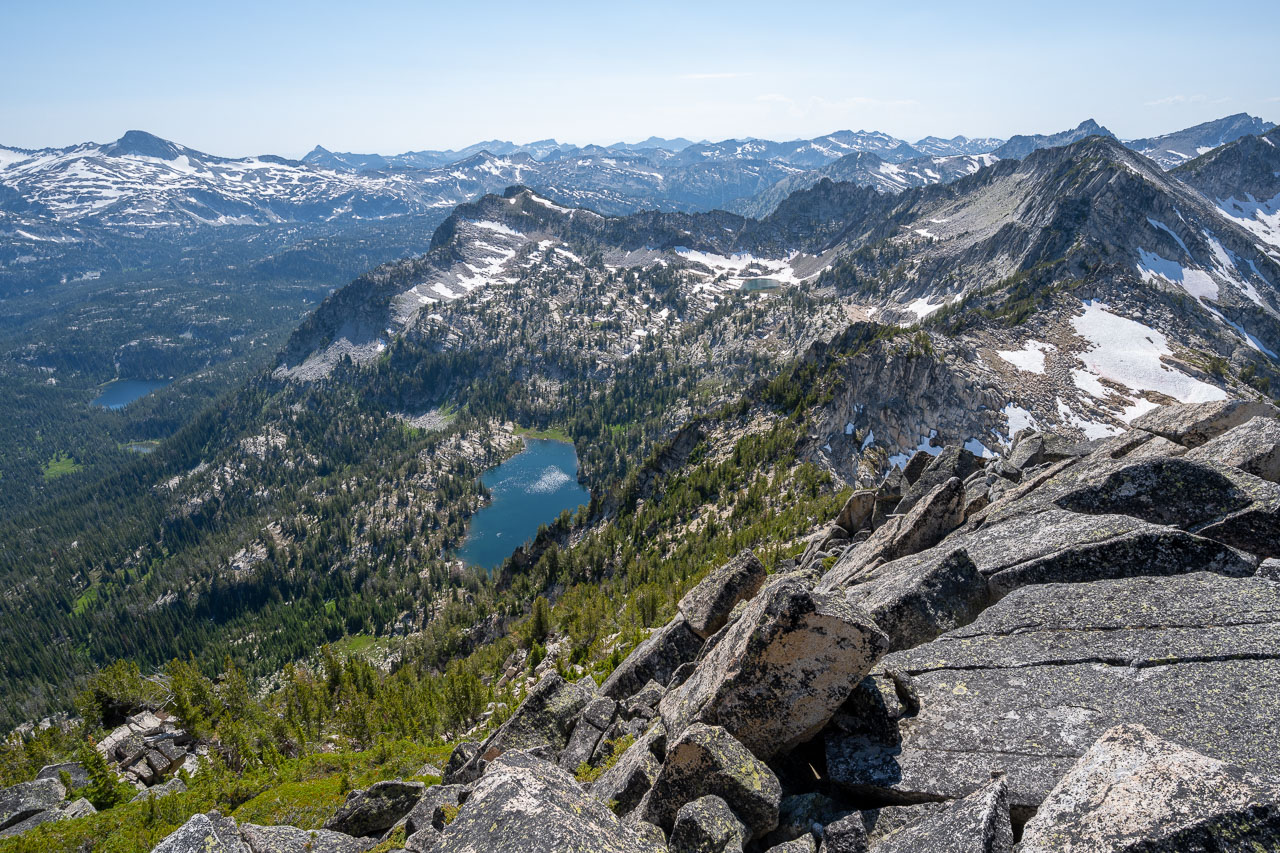
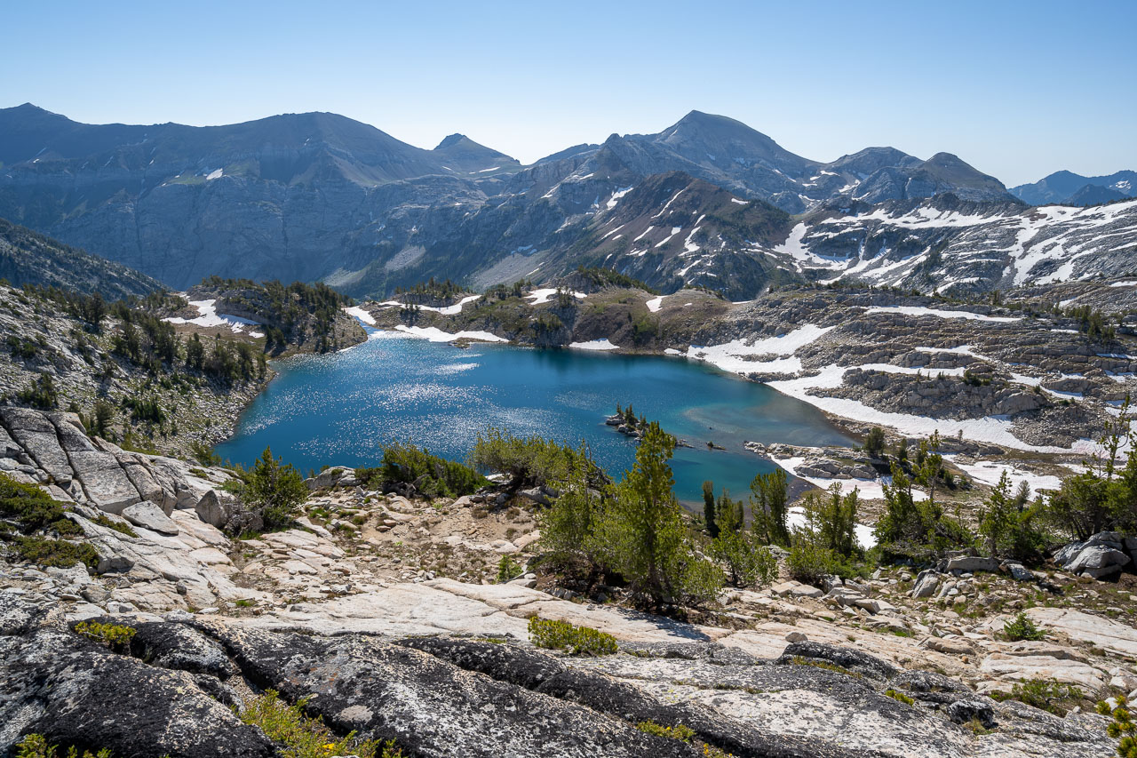
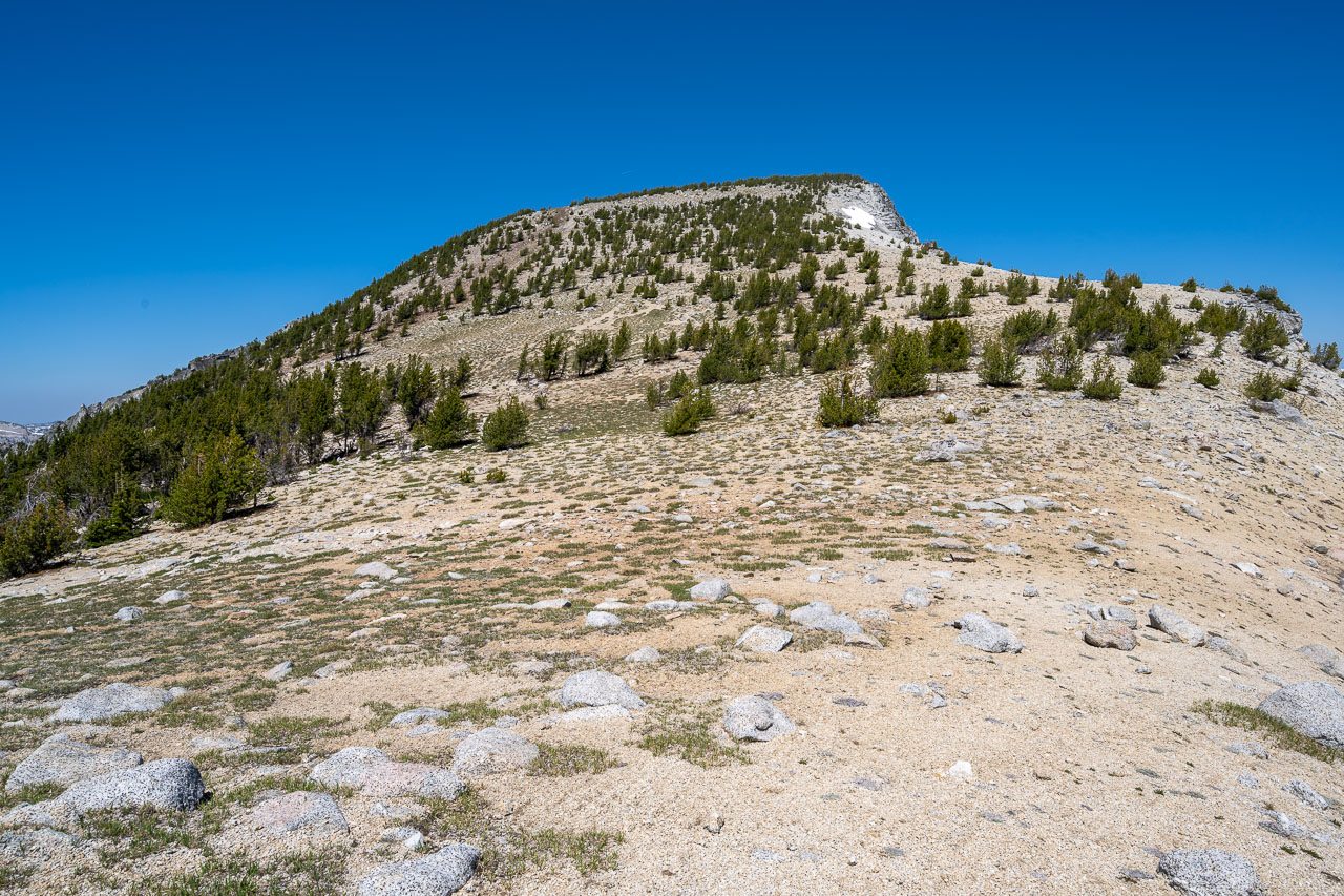
Leaving camp, there was a short stretch of cross country before I picked up the trail leading to Glacier Lake. I briefly followed the trail before heading toward the first unnamed peak of the day, Peak 9020. I made my way up a loose sandy slope before eventually reaching the ridge just south of the summit. At the summit I found two different summit registers, which was a little surprising considering I had seen very few of them on the other summits. The view from the top was among the best of the trip, with Cusick Mountain and headwaters of the Wallowa River to the south, and Glacier Lake and Eagle Cap to the west. Further north I could see Matterhorn that I had been over the previous day. After enjoying the view, I started down the south side of the peak on what turned out to be a really nice slope for glissading.
I picked up the trail just below Glacier Lake then followed that over to the ridgeline leading to Peak 9495. This peak is unnamed on maps but is referred to on Peakbagger as Glacier Peak. I followed a snow-covered slope over to the base of the peak, then climbed a sandy Class 2 slope up to the summit. From the summit I had a good view down the East Fork of Eagle Creek, which I was planning to travel down the following day to finish up the trip.
Next up was Eagle Cap, which stood about a mile to the north. I could have descended the same Class 2 slope I had used on the way up, then followed easier snow slopes over, but I was interested to see if I could stick to the more difficult ridgeline instead. Starting along the ridge I soon encountered Class 4 terrain. Generally, it was possible to bypass the more difficult terrain by staying just below the ridgeline on the west side, but even so there were some unavoidable Class 4 sections with one section that might be considered low Class 5. Adding to the difficulty was that much of the rock was covered in dried lichen that made the climbing less secure. Going in my direction most of the difficult sections needed to be downclimbed, so going the other way from Eagle Cap to Glacier Peak might make the traverse easier.
Eventually the difficulties ended, and I was back on Class 2 terrain leading up to the summit of Eagle Cap. There was a large group of people at the summit, so I stayed only long enough to get a few pictures before heading down. I followed the trail down to Horton Pass then did an out-and-back to get an unnamed peak, Peak 8910. I had travelled just below this peak on the second day of the trip, so it was nice to see some familiar terrain from a different perspective.
Returning to Horton Pass, I had one final unnamed peak planned for the day, Peak 8441. I took the trail down to Upper Lake, then started up through mostly forested slopes toward the summit. Near the top I startled a few elk, which was the second time I had seen elk on the trip. The summit had a nice perspective on the sheer face of Matterhorn to the north. On my way down I stopped to take a swim in one of the small meltwater ponds just below the summit. The pond was shallow and lined by granite, so it had warmed up nicely. After some sunbathing, I returned to my camp at Mirror Lake by early afternoon.


13.2 Miles, 1300 Gain
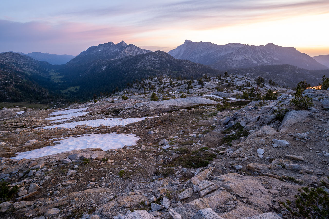
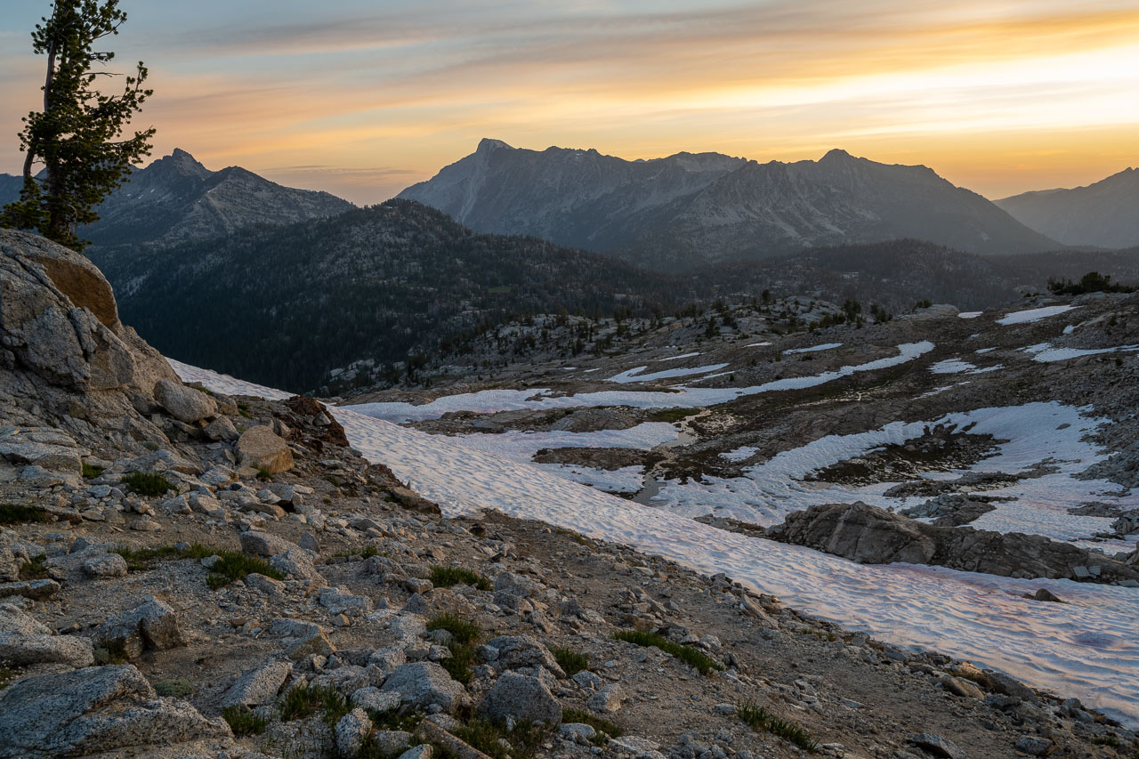
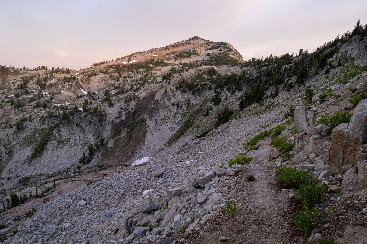
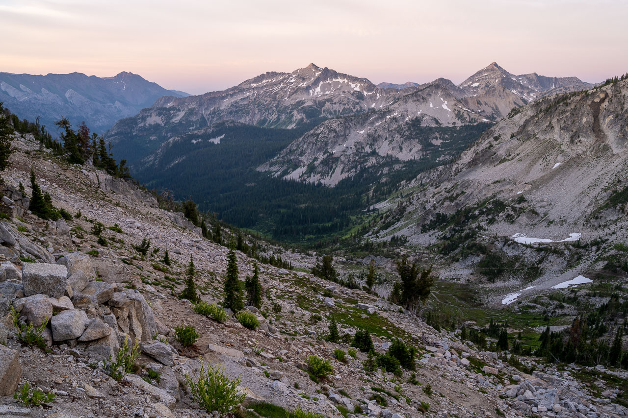
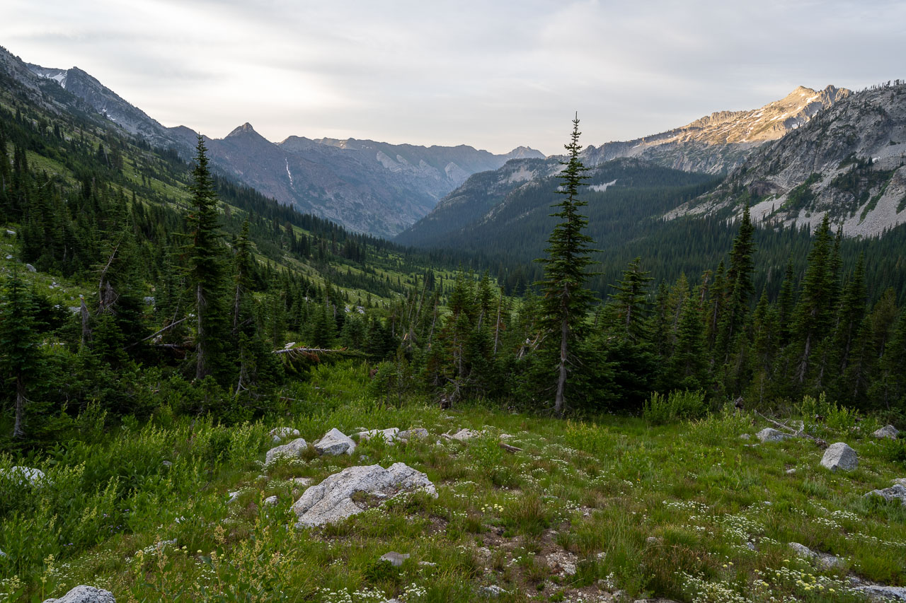
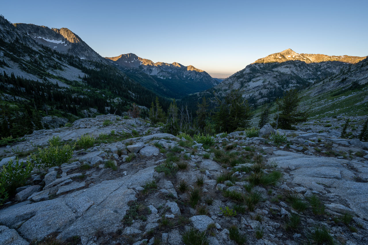
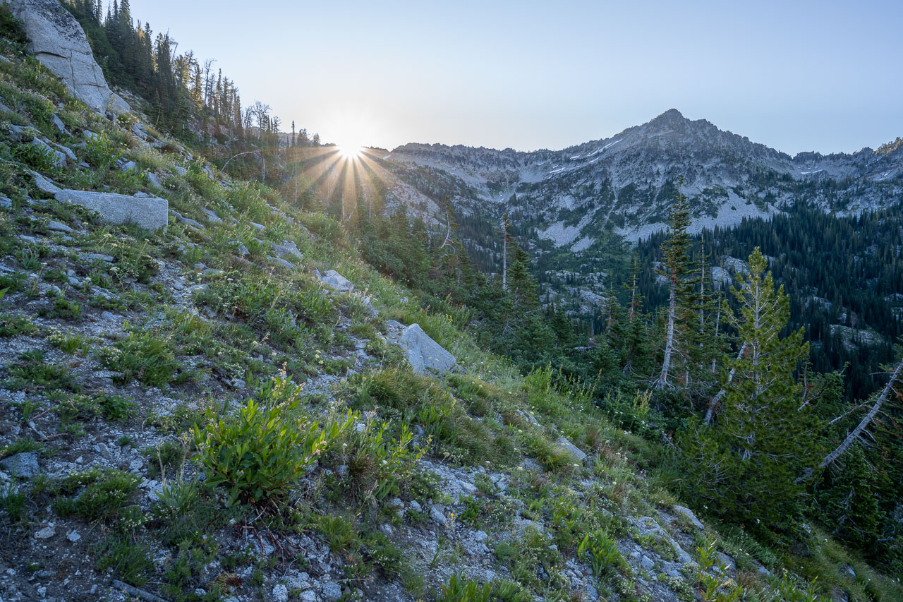
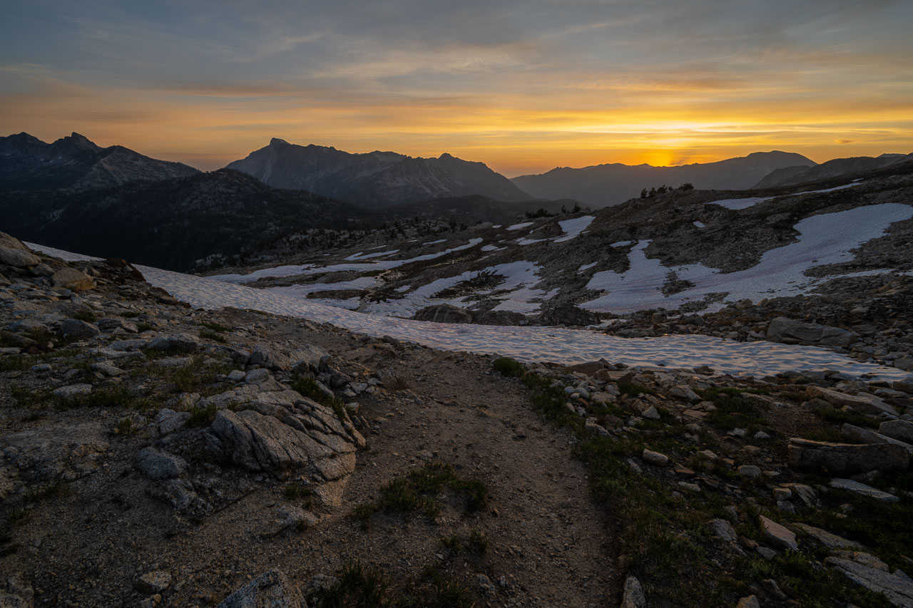
For the final day of the trip I was planning to get an early start so that I could get back to the car at a reasonable time. This was the only day of the trip that I wasn’t including any peaks, so I figured I should be able to make good time. I woke up at 3AM and quickly packed up camp. I followed the trail up to Horton Pass by headlamp and arrived just as the sky to the east was starting to glow with the morning sunrise. I hung out for a few minutes to watch the sun come over the ridge, then started down the pass.
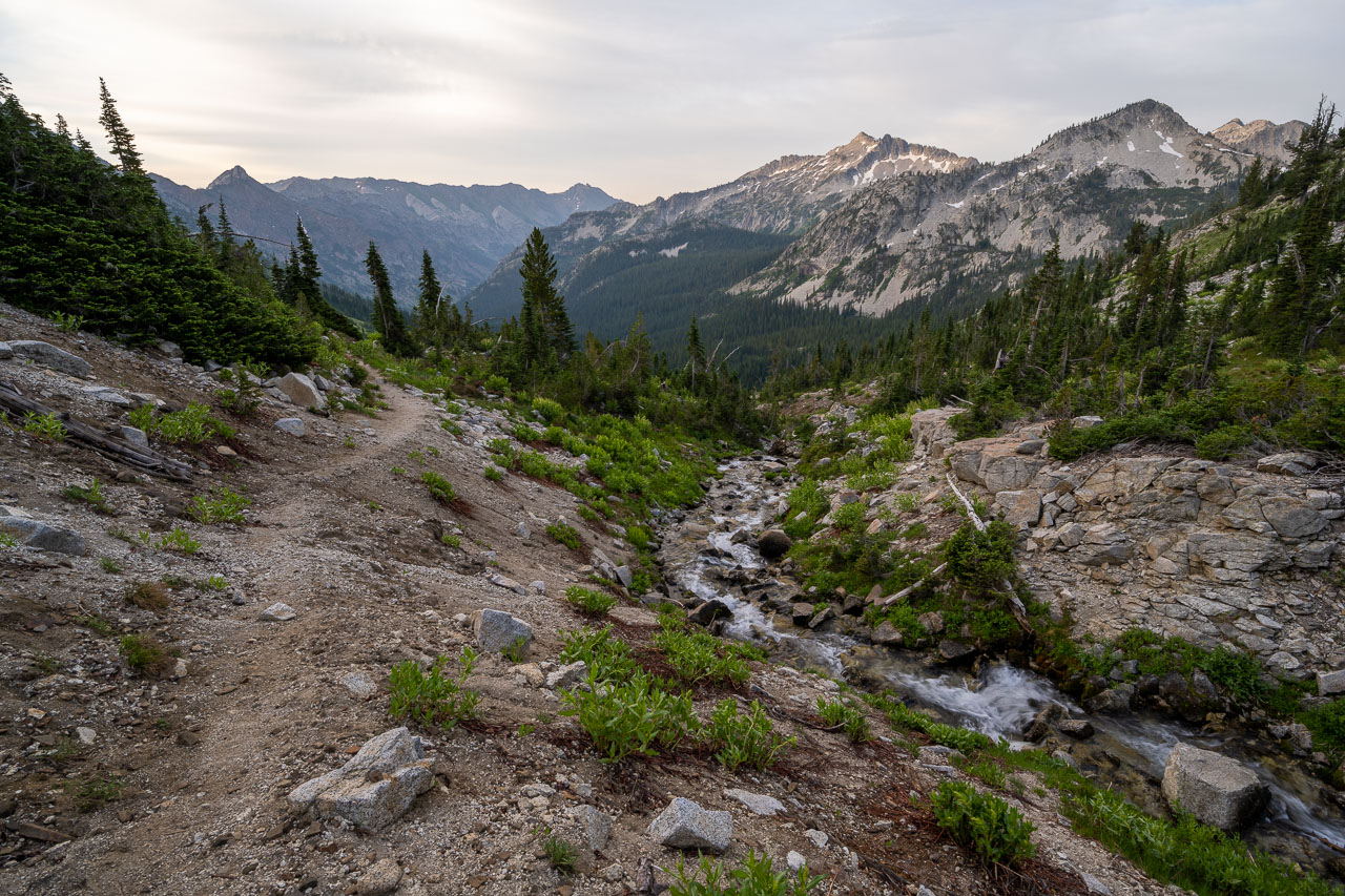
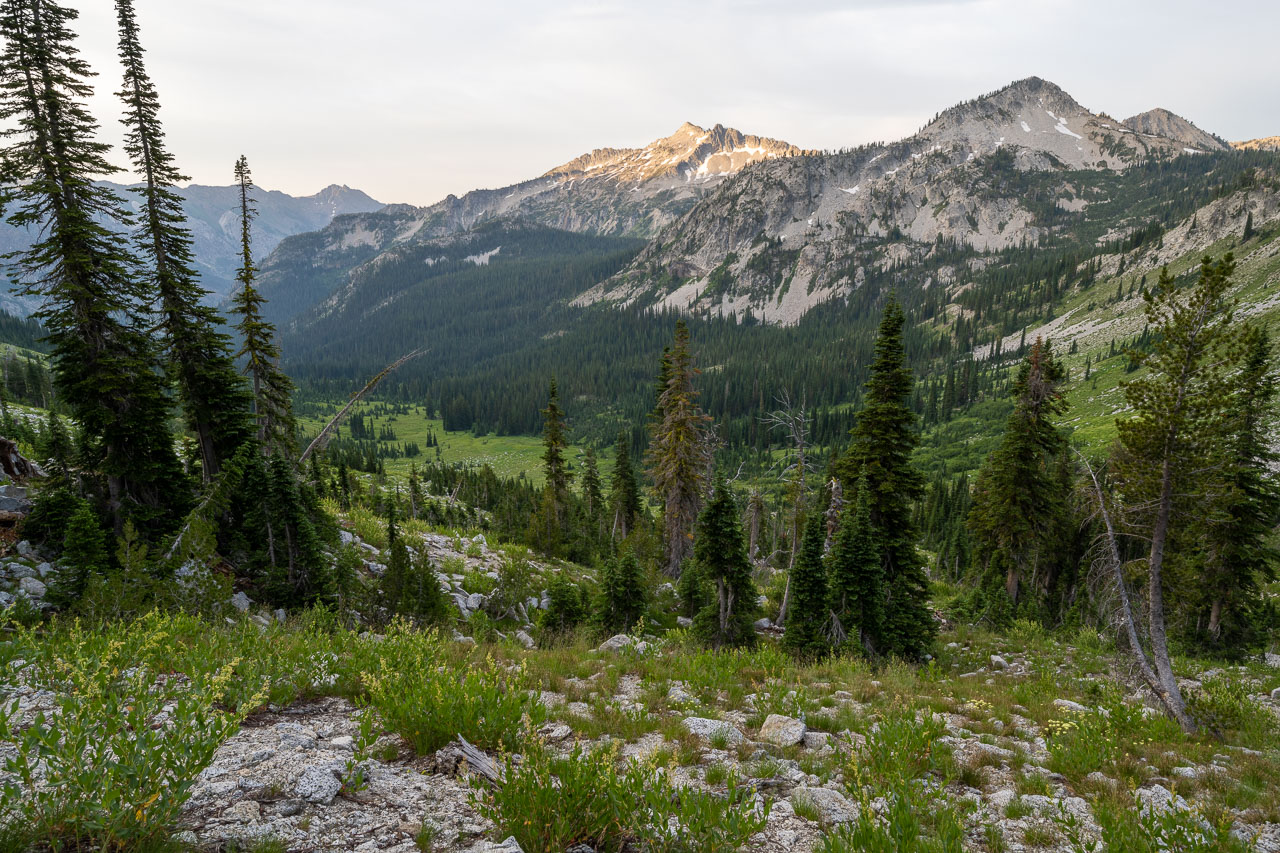
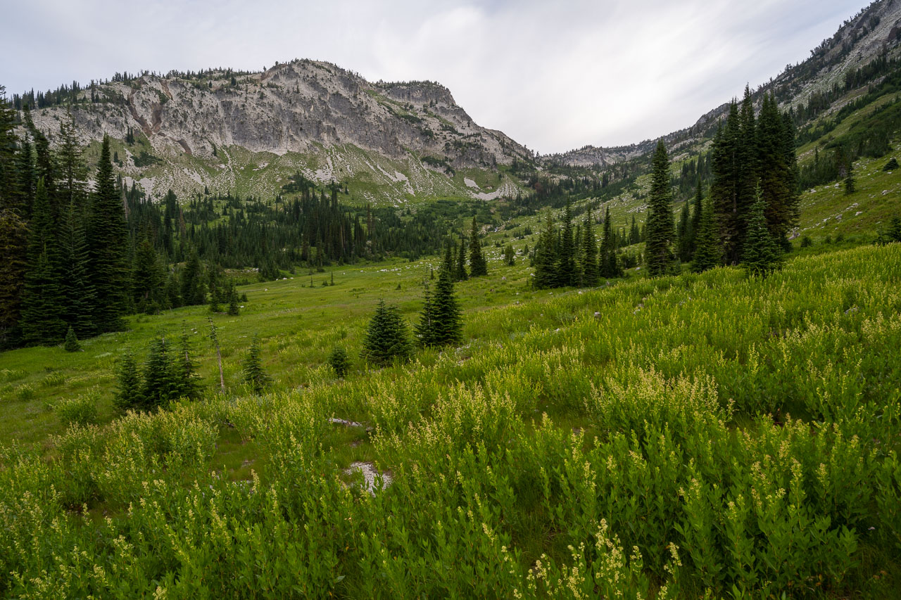
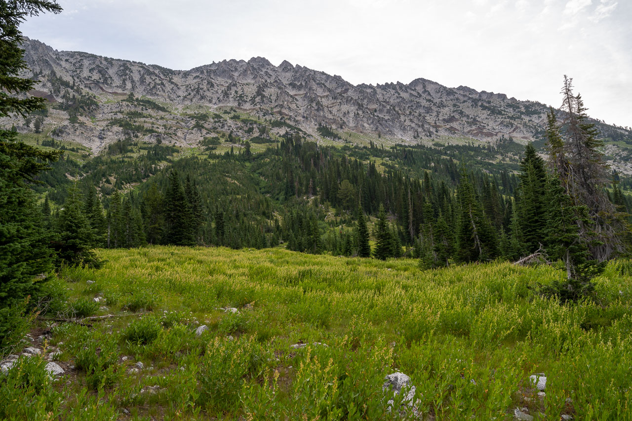
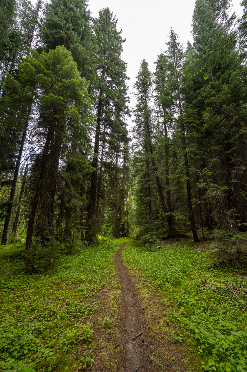
It was a little over 12 miles from the pass to get back to the car. As I made my way down the valley I watched as the sun slowly lit up the peaks. A few of these I had climbed on the first day of the trip, so it was nice to see them again from a different perspective at the end of the trip. The trail passed through a few nice meadows on my way down, and by mid-morning I was back at the car. I had finished early enough that I was able to make the 11-hour drive home that evening.
Overall, I was really impressed with the Wallowa Mountains. The route ended up working out nicely and went through some really scenic areas. I have already sketched out a few other routes in the area, so hopefully I will be able to come back sometime soon.