17.6 Miles, 5200 Gain
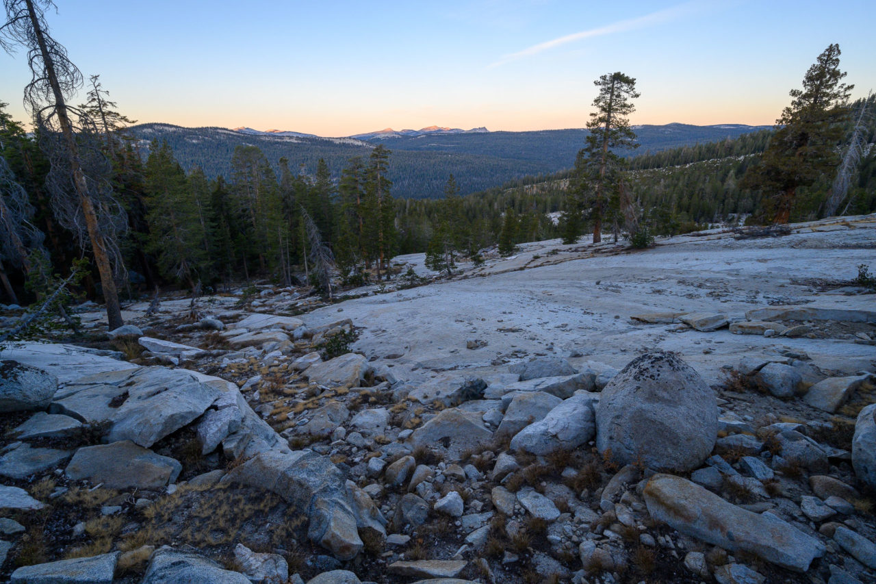
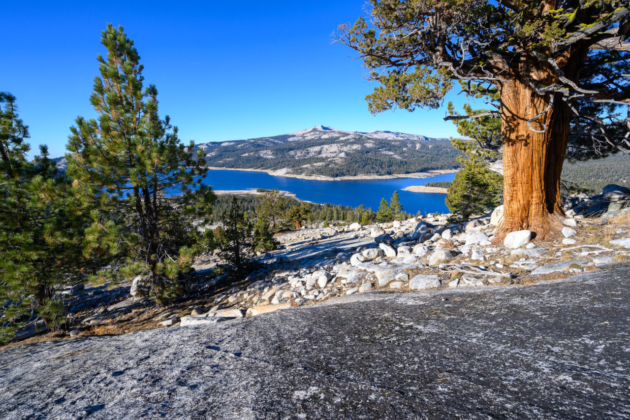
Courtright Reservoir is one of my favorite east side access points to the High Sierra. The area is relatively uncrowded, and offers nice granite domes right from the trailhead. There were two basins that I had yet to visit in the area, Red Mountain Basin and Blackcap Basin, both of which are most easily accessed from Maxson Trailhead near Courtright Reservoir. I planned a four day loop that would visit a majority of the peaks in Red Mountain Basin, with plans for a return trip to Blackcap Basin. The forecast called for a warm start to the weekend, with a cold front moving in on the final day of the trip. There were also extreme winds in the forecast, over 90mph in some areas of the central valley, which would result in planned power outages affecting 2.7 million people. With the wind chill, it was going to get down to around 0F on the ridge, so we took all our warm weather gear with us.
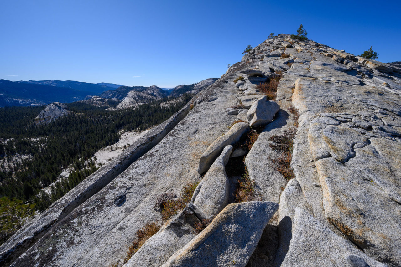
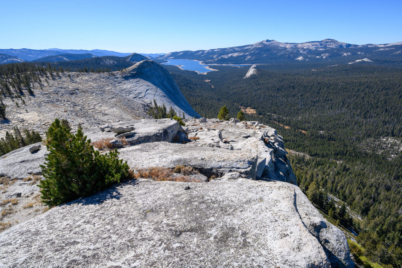
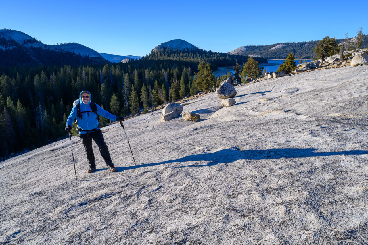
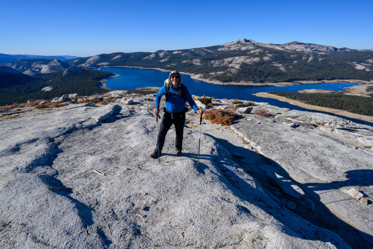
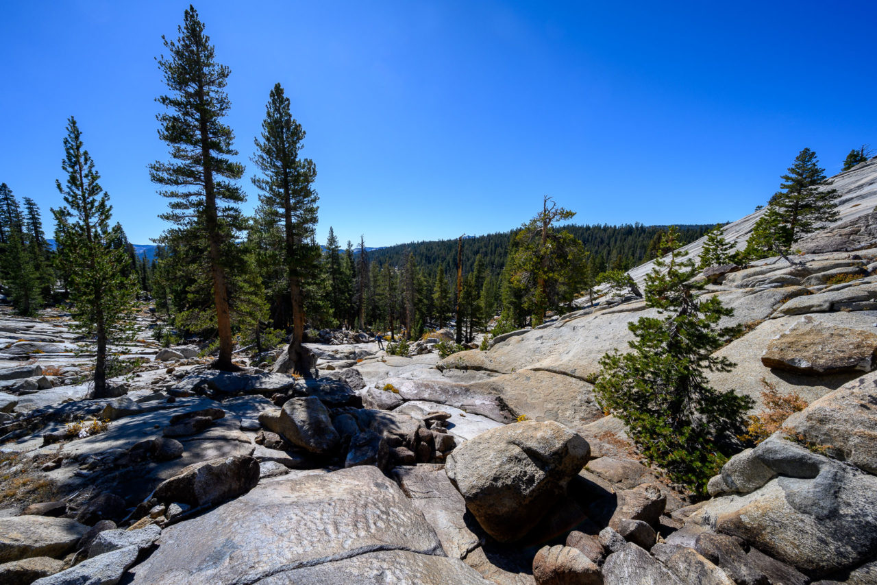
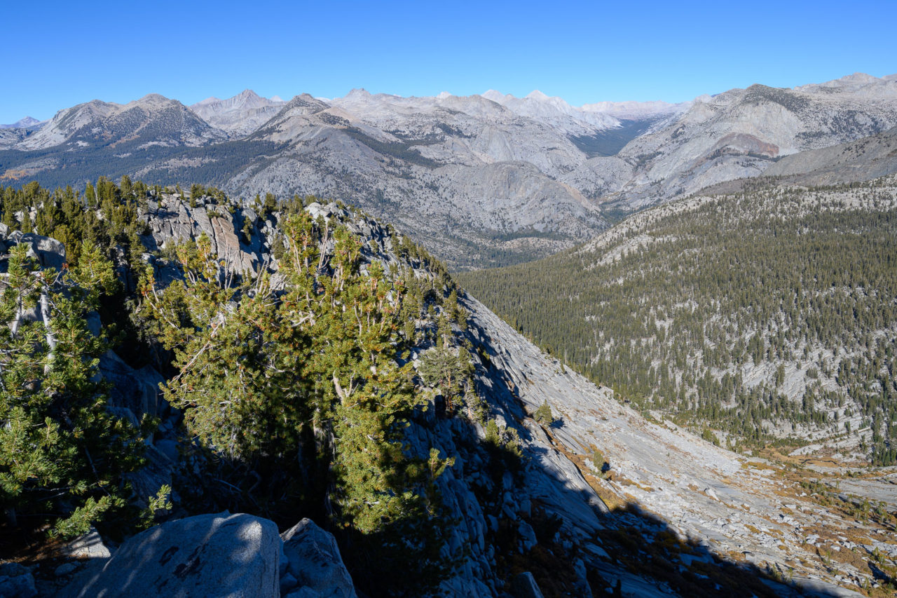
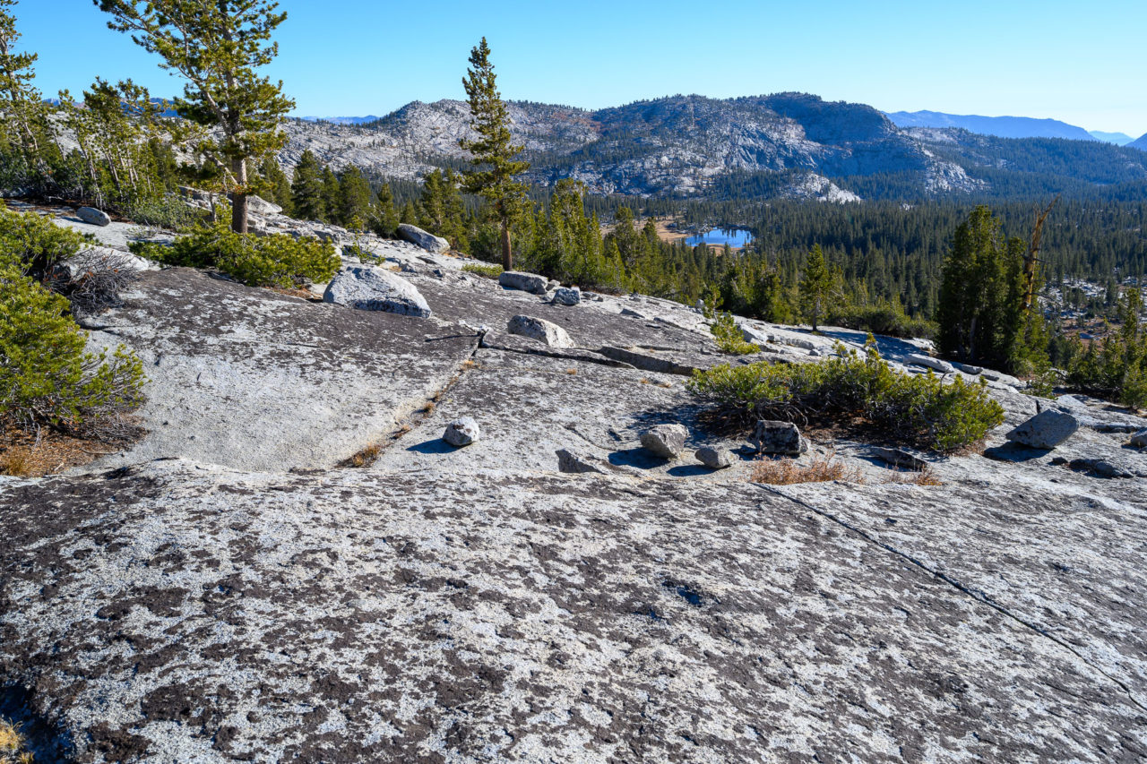
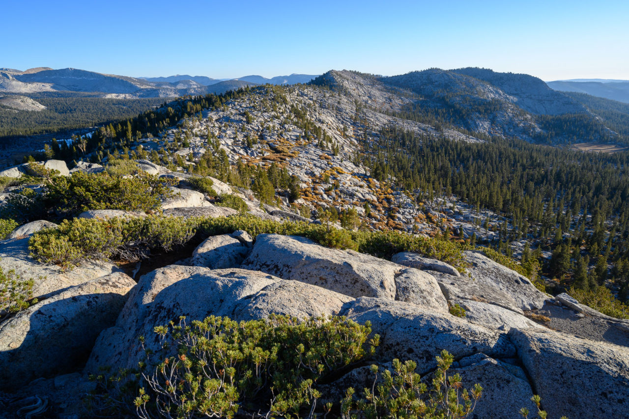
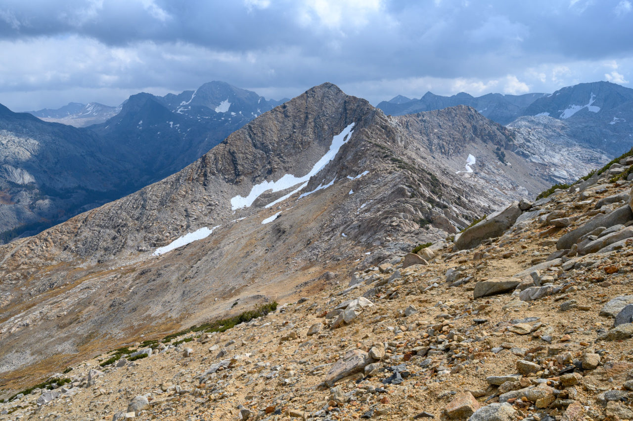
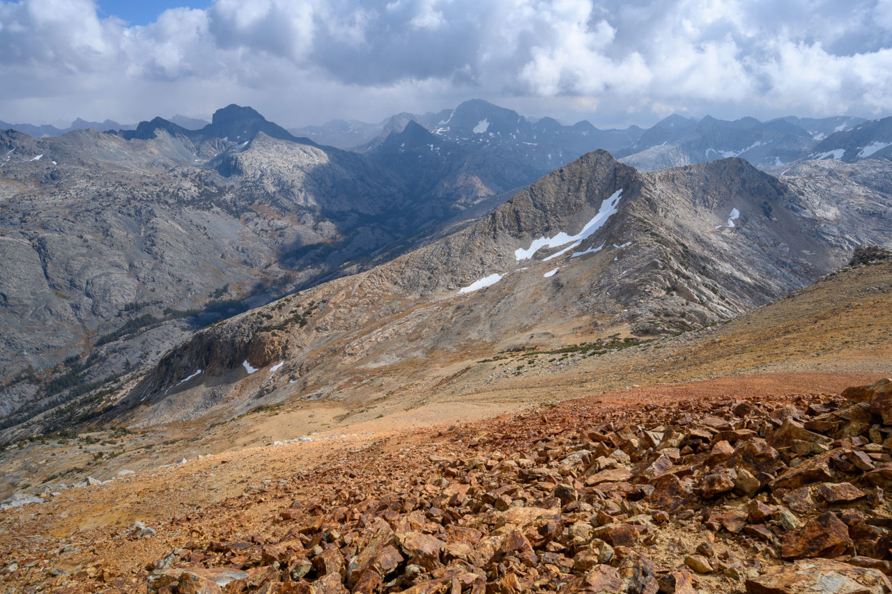
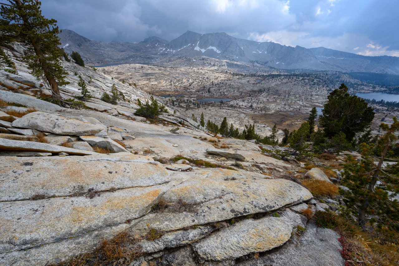
We drove in the night before and slept at the Maxson Trailhead. We got an early start the next morning, following the Dusy Ershim OHV route for roughly two miles to Maxson Dome, the first peak of the trip. There were good views of Courtright Reservoir from the summit, with many other domes visible in the distance. From the summit we continued north on the mostly level ridge leading toward Peak 9928. There was a short section of easy Class 3 leading to the summit, with good views to Dogtooth Peak across the valley. The Dusy Ershim OHV continues up Dusy Creek in the drainage below Peak 9928, but I couldn’t see any sign of the road from the summit.
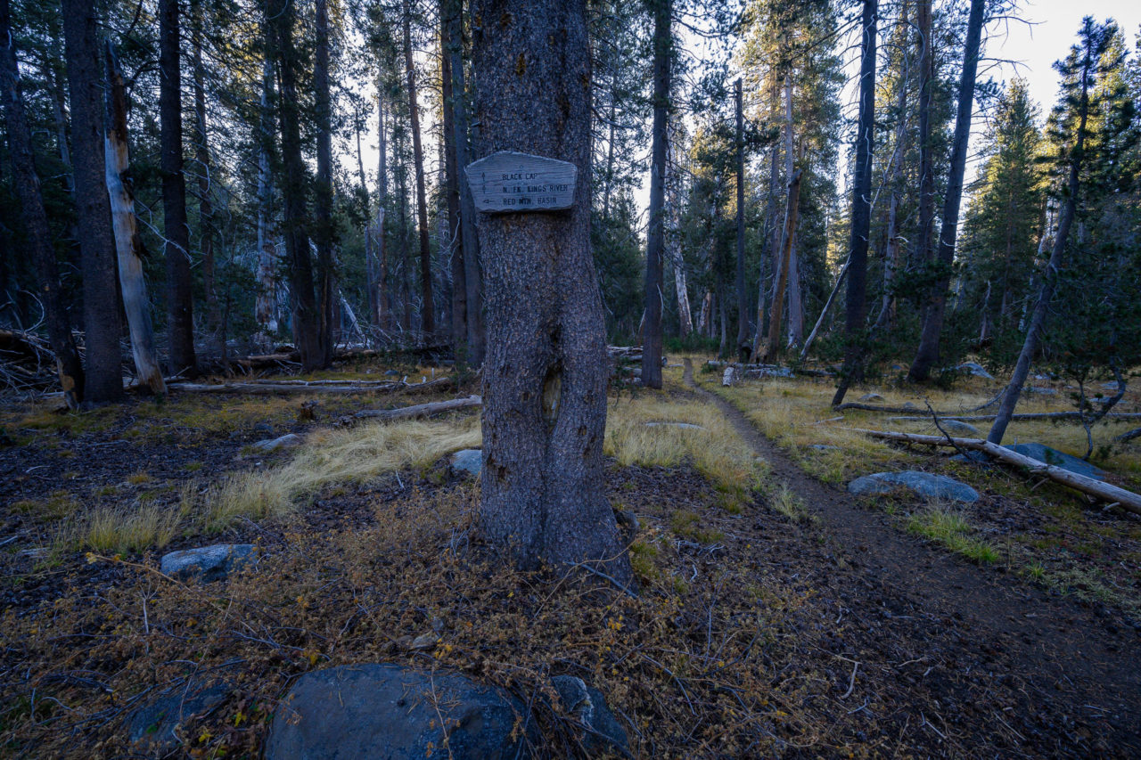
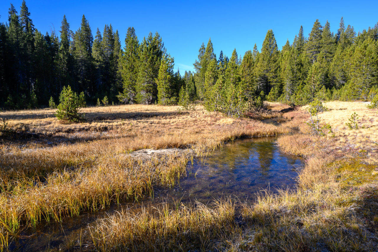
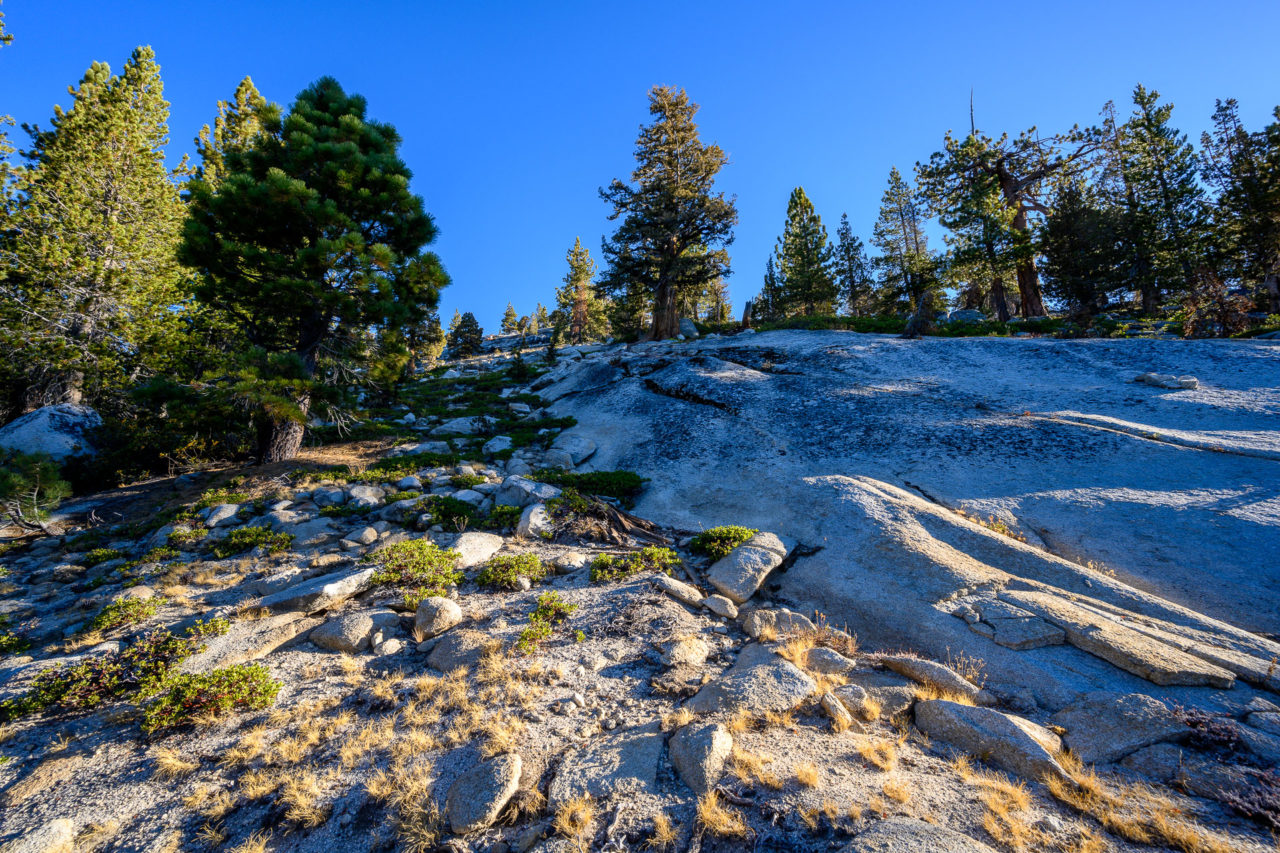
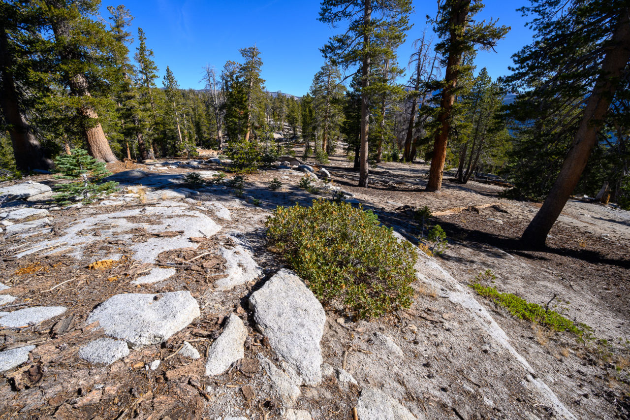
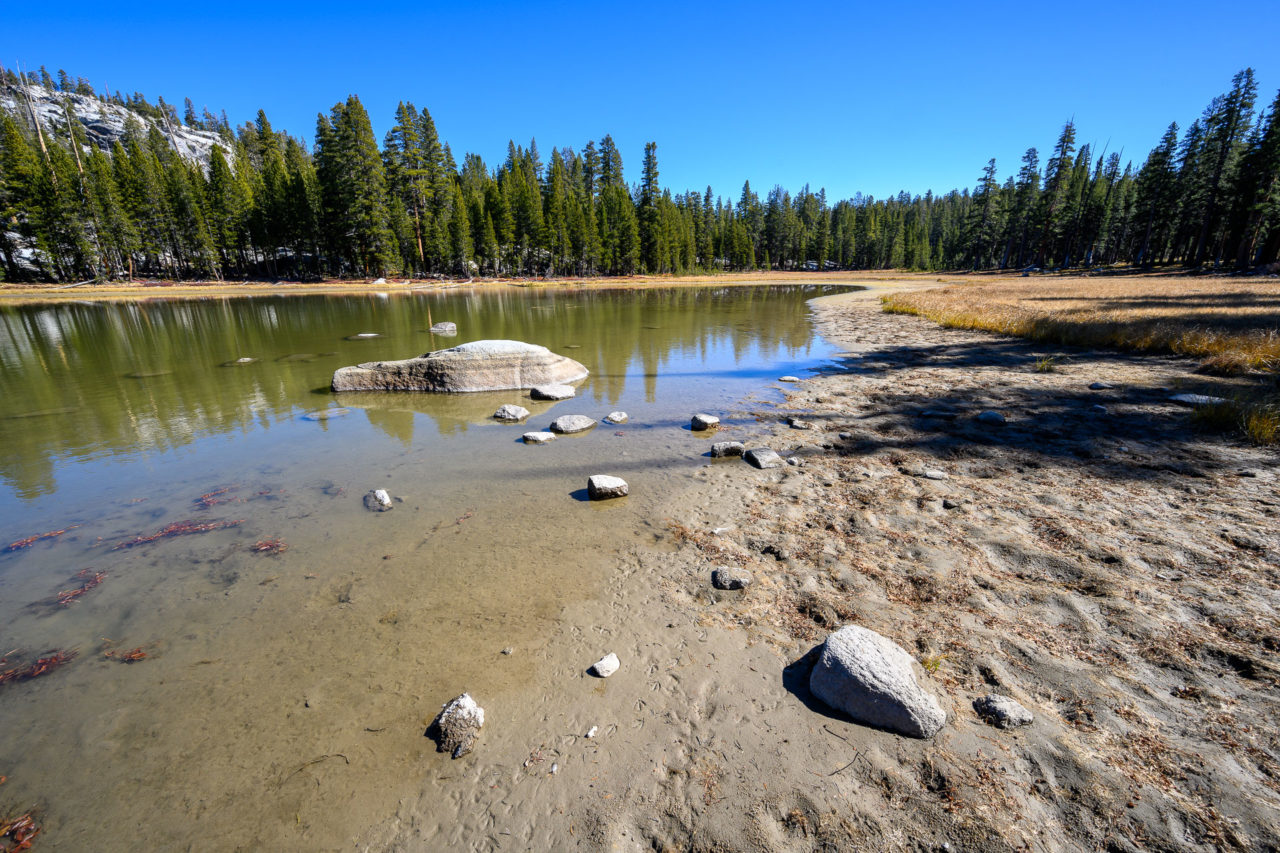
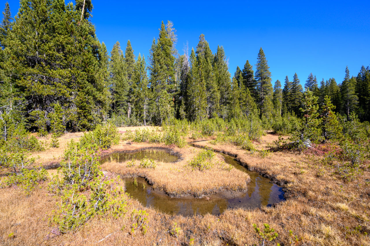
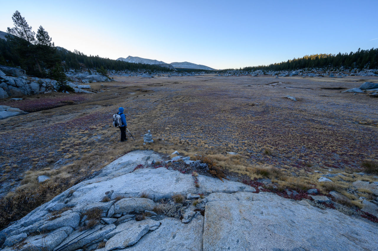
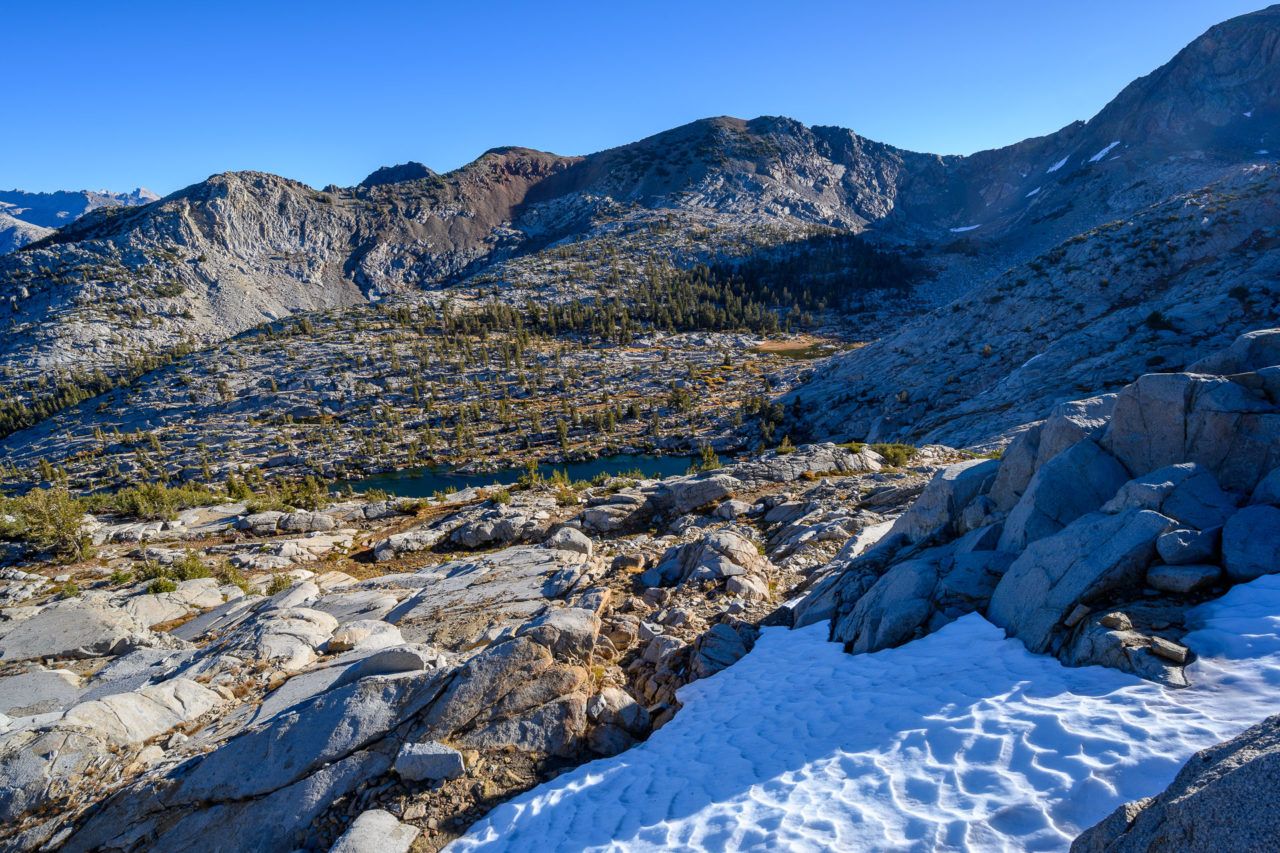
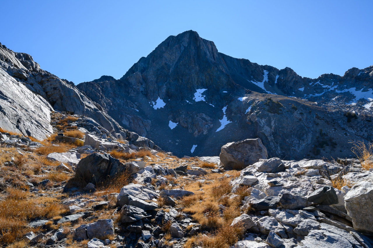
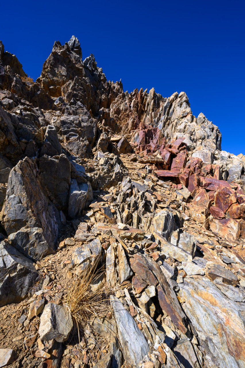
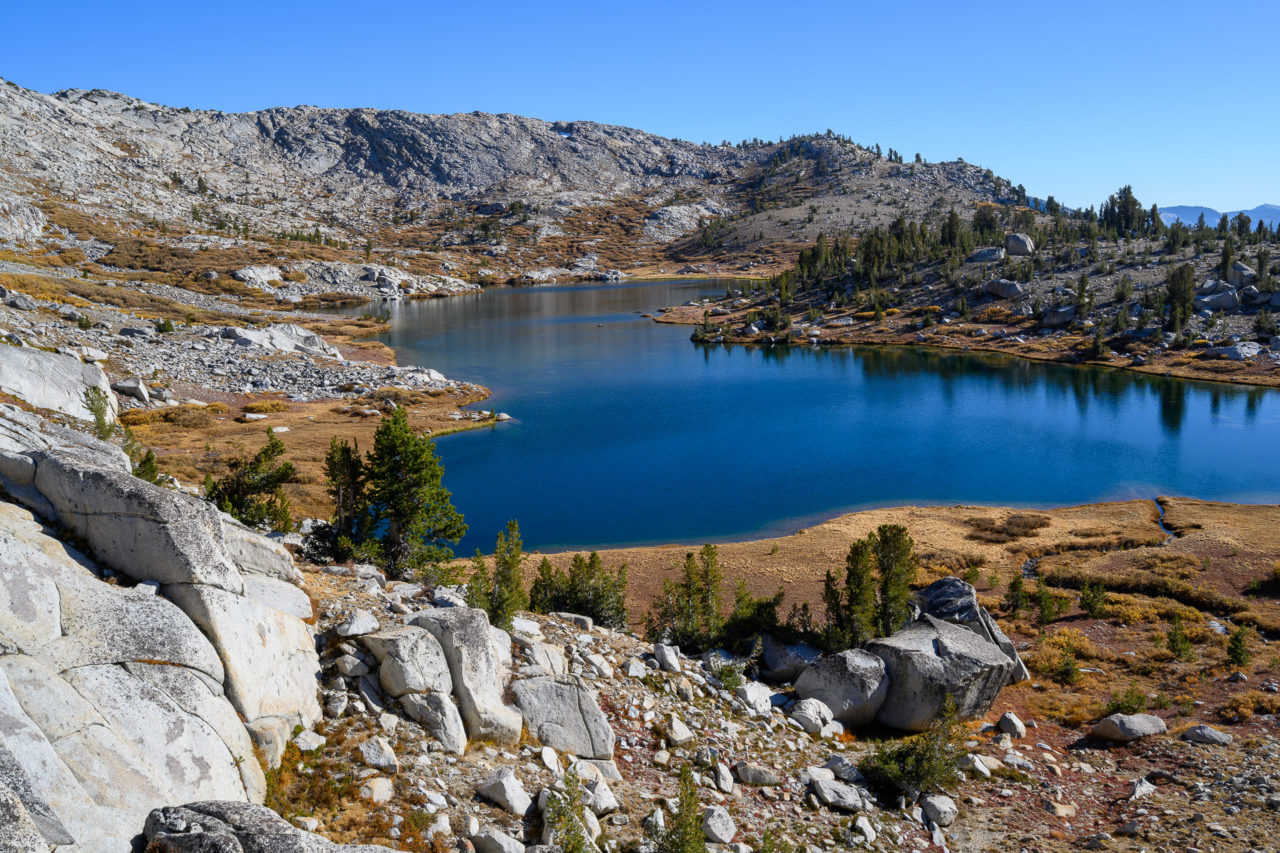
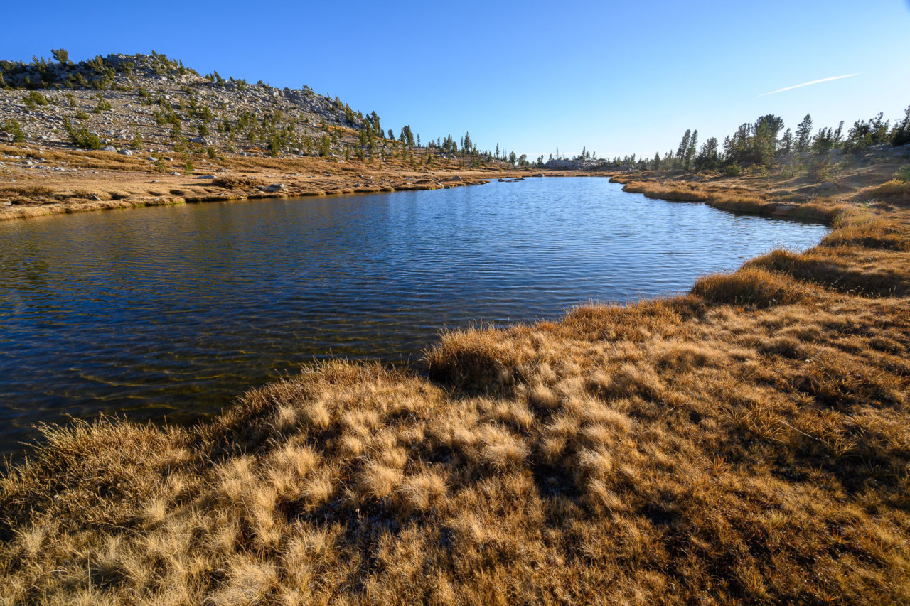
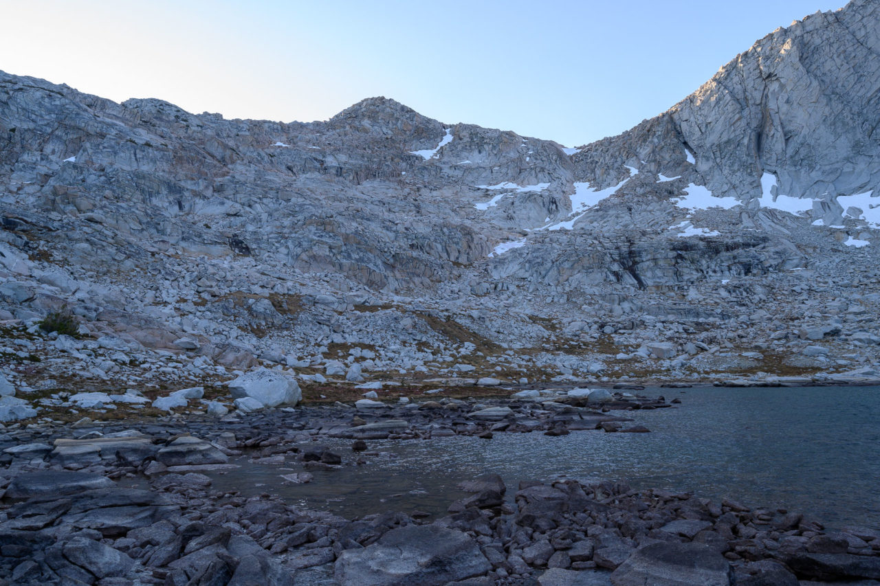
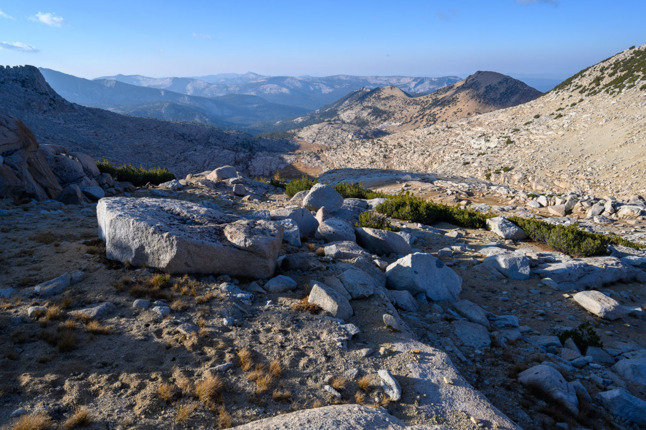
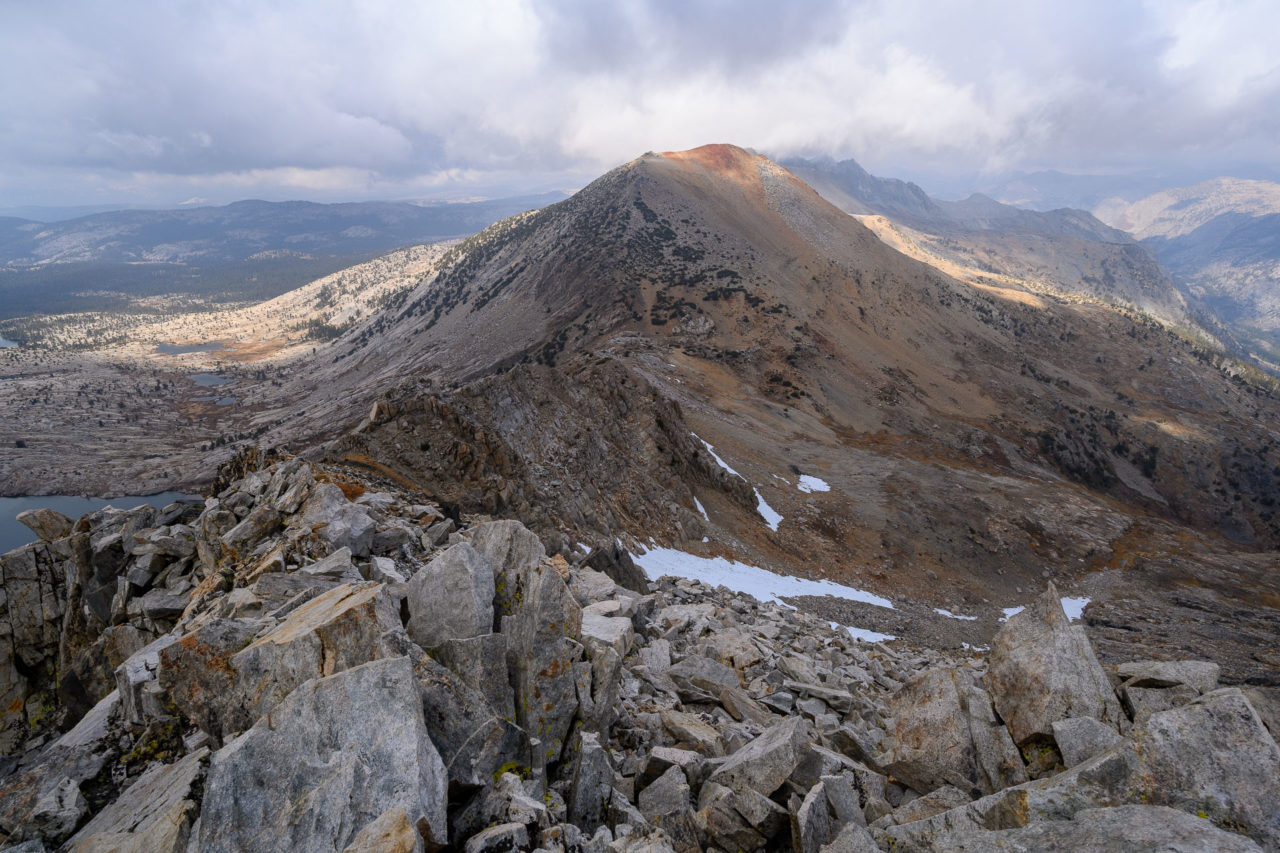
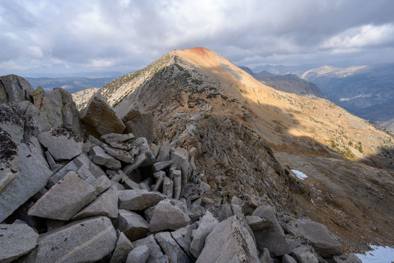
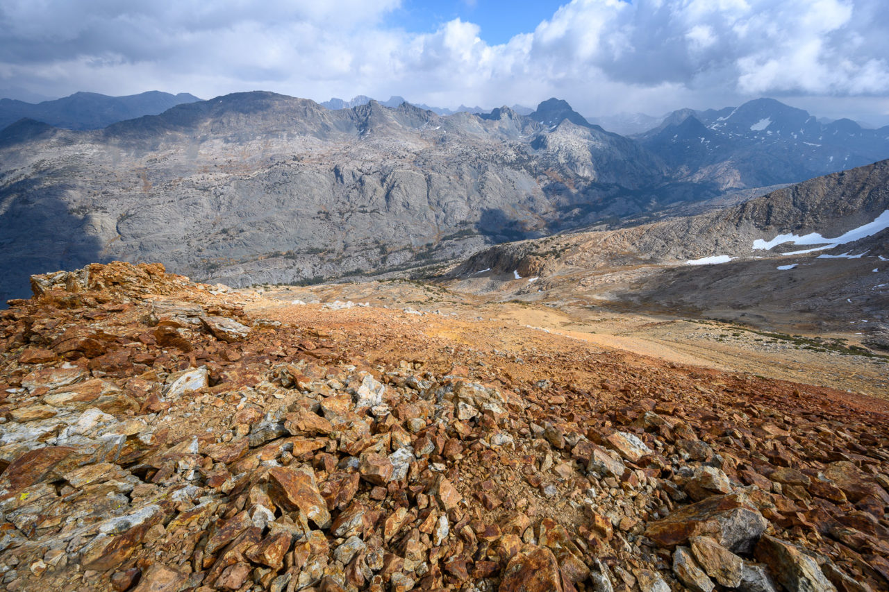
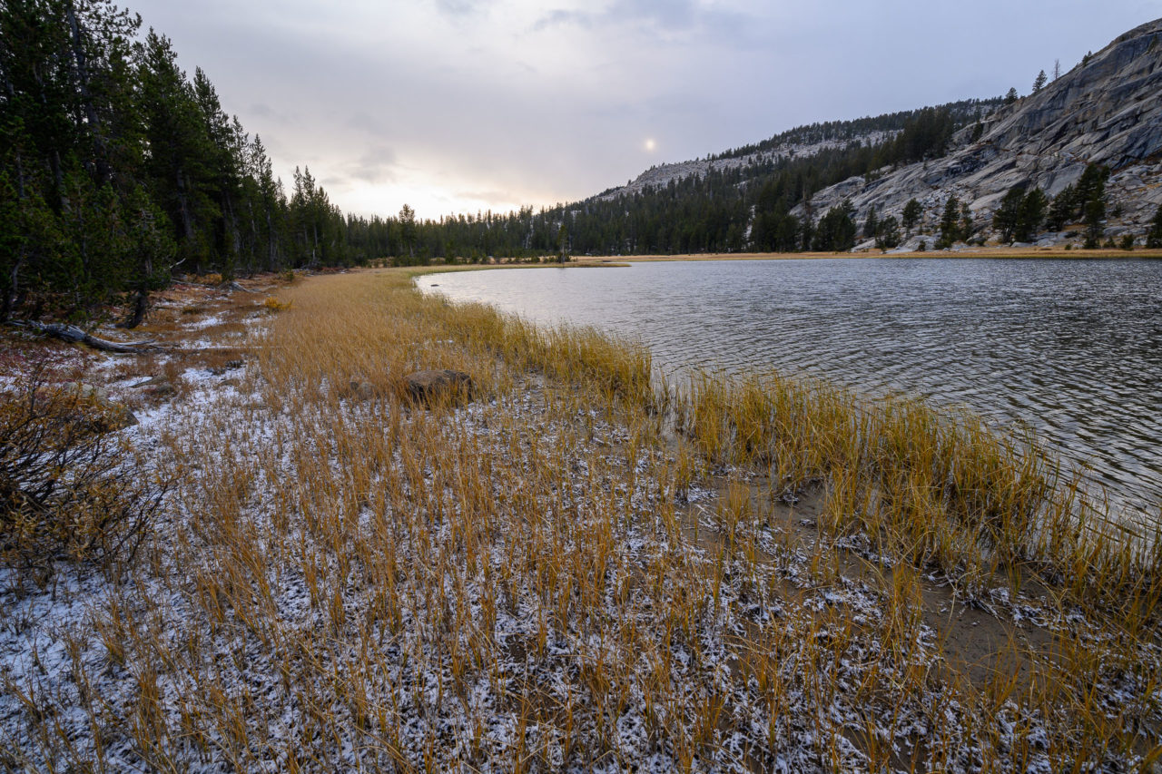
We were planning to camp near Lower Indian Lake in Red Mountain Basin later in the day. To get there would require an extended cross-country section through forested terrain, past Burnt Corral Creek and Post Corral Creek, then across the ridge above Reddy’s Hole to visit a few peaks in the area. We made steady progress through the forested section, passing an old trail near Burnt Corral Creek and an unnamed lake with an old campfire circle. We followed Post Corral Creek up to a nice meadow below Reddy’s Hole, then continued up a short section of ridge leading to Peak 10836. There was a summit register that had been left by Smatko/Lilley in 1977. The peak had been visited in 1980 and 1986, then not again for 33 years. We added our names to the register then continued towards Zingheim Heights.
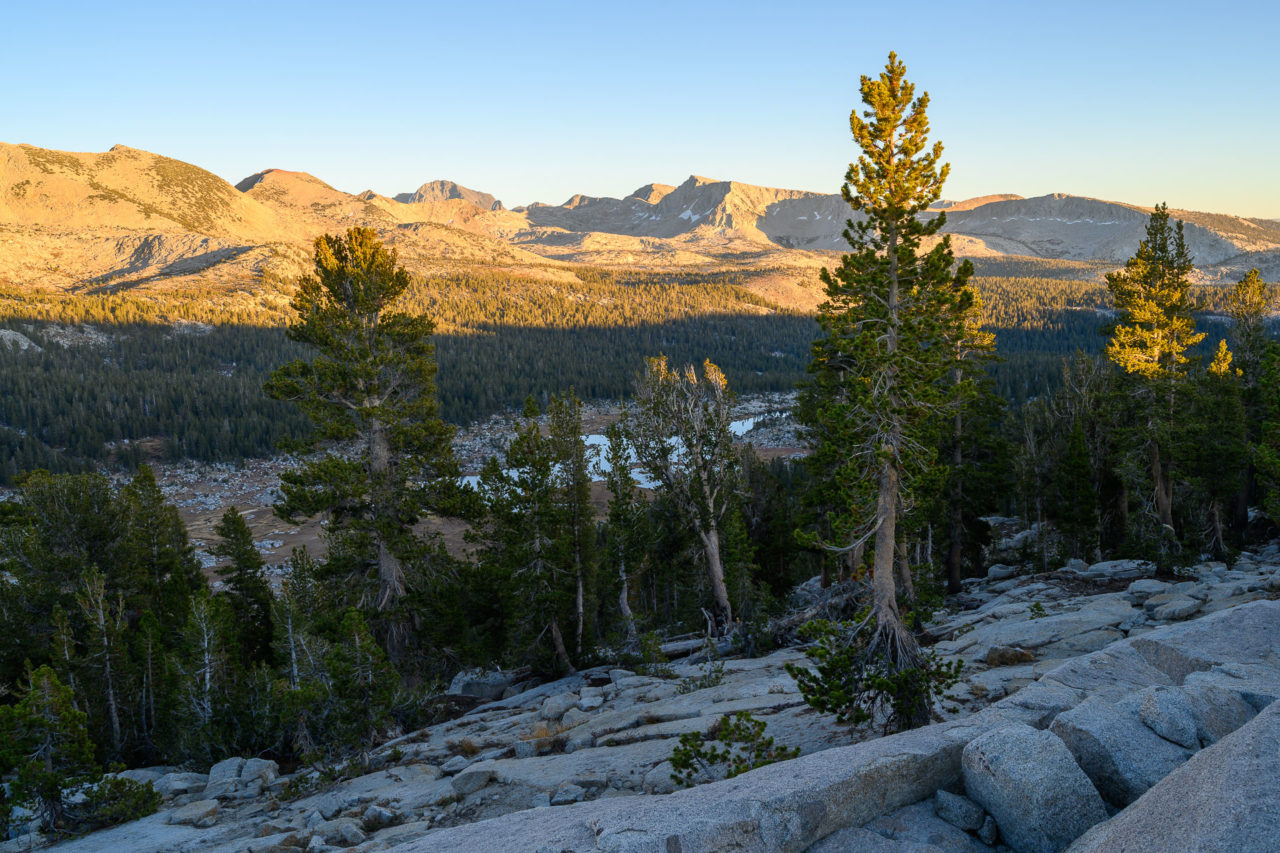
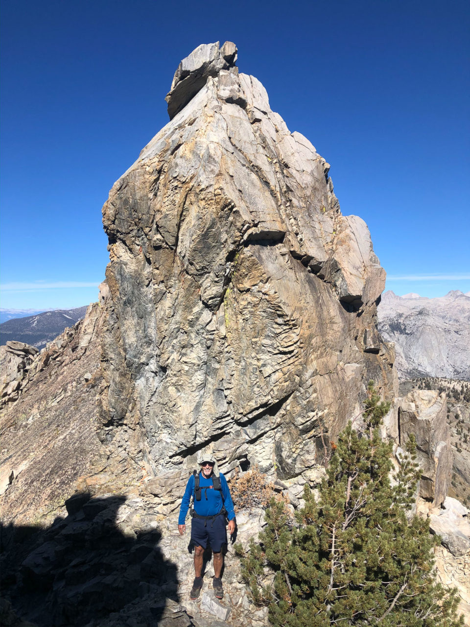
There were open granite slabs leading to the saddle with Zingheim Heights, then a blocky ridge leading to the summit. We bypassed some of the ridge on the south side, then made our way to the summit. There were two points competing for the highpoint. A more interesting set of large boulders, which turned out to be slightly lower, and a Class 2 summit area further up the ridge that had an old metal sign but no summit register. It was starting to get close to sunset by this point, but I still wanted to visit one more named point in the area, Fleming Mountain, which was two miles further south on a connecting ridge above Lower Indian Lake. It appeared it might be slow going, with trees and large blocks on the ridge, but there turned out to be some nice ledges that allowed for quick progress. I made a short out-and-back trip from the saddle below Flemming Mountain, arriving at the summit just as the sun was starting to set. In the setting light there was a ghostly white hue to the taller granite peaks around Lake Italy that was quite impressive.
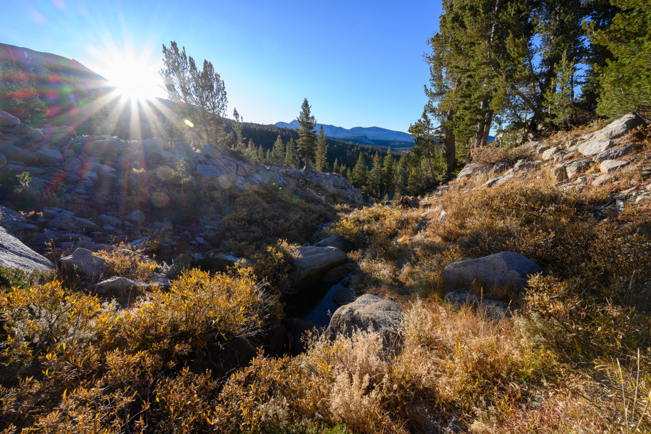
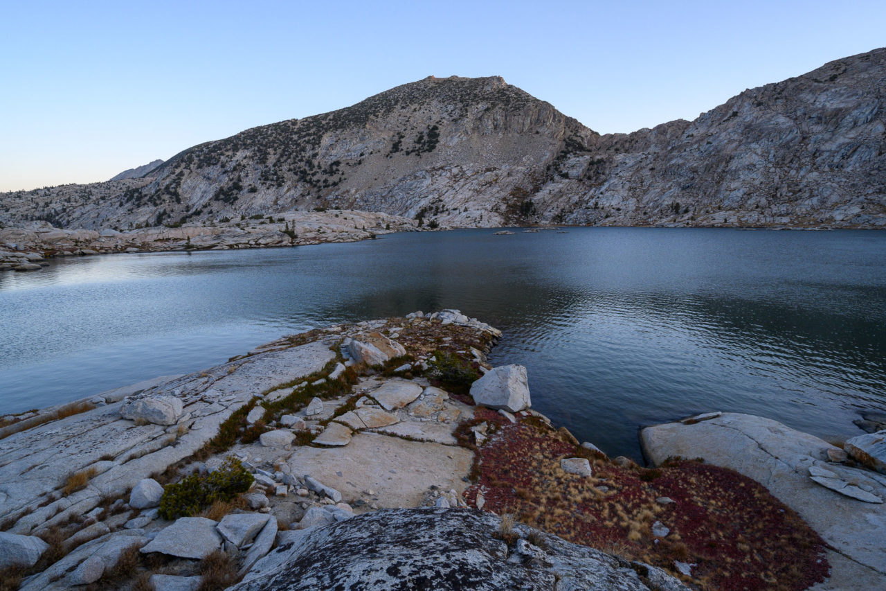
By the time I got back to the saddle the sun had set. We put on our headlamps and made our way to Lower Indian Lake. According to the map, there was supposed to be a trail in this area, but we never saw it. We got water from the lake, then moved up slope into the trees to avoid the freezing air that would collect around the lake overnight.
11.0 Miles, 4750 Gain
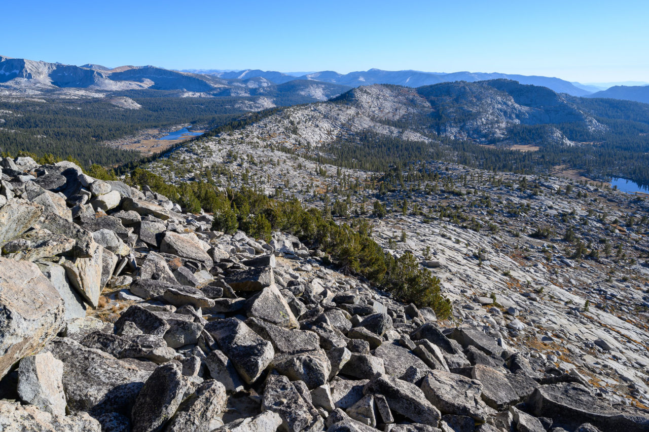
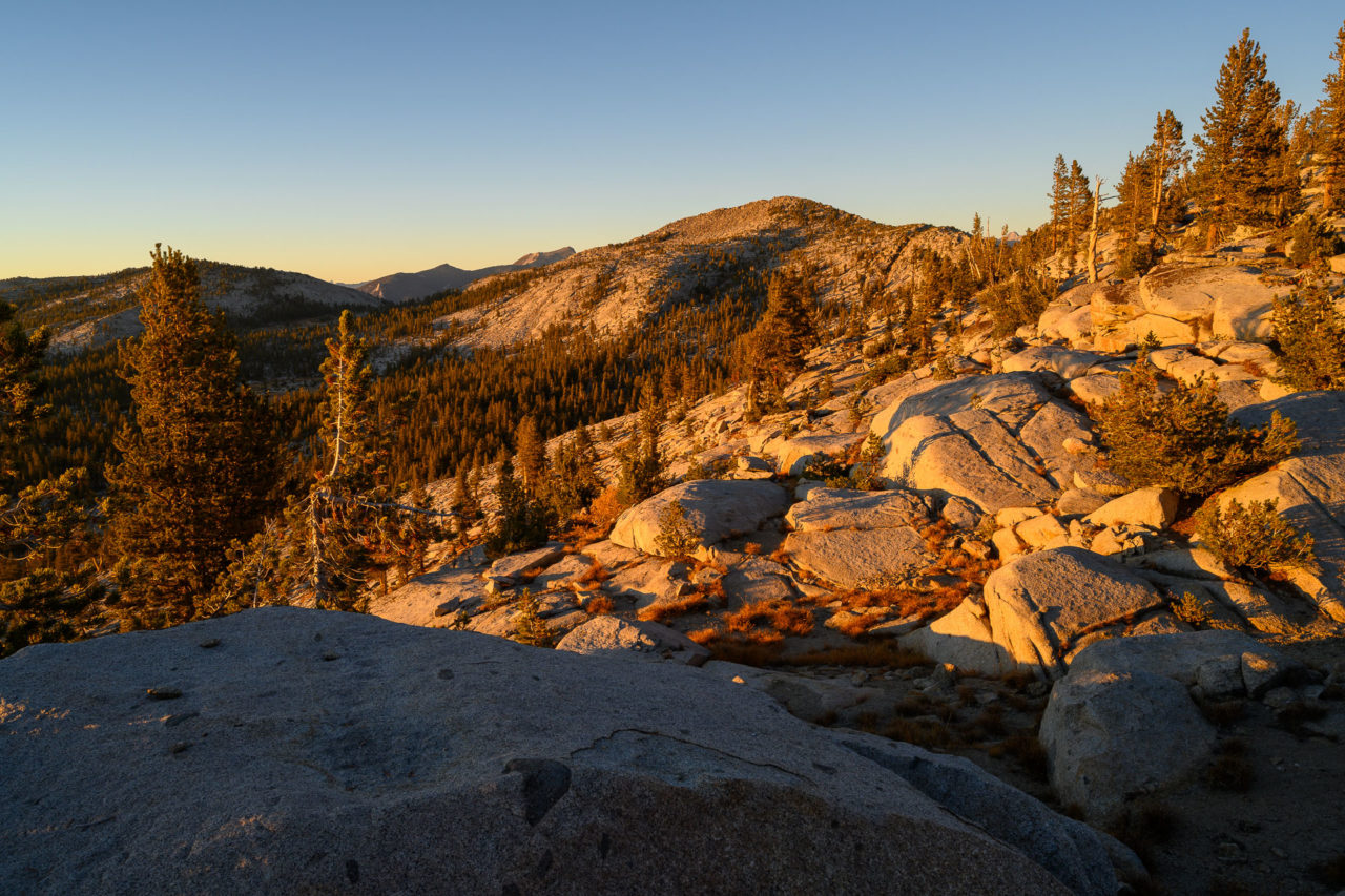
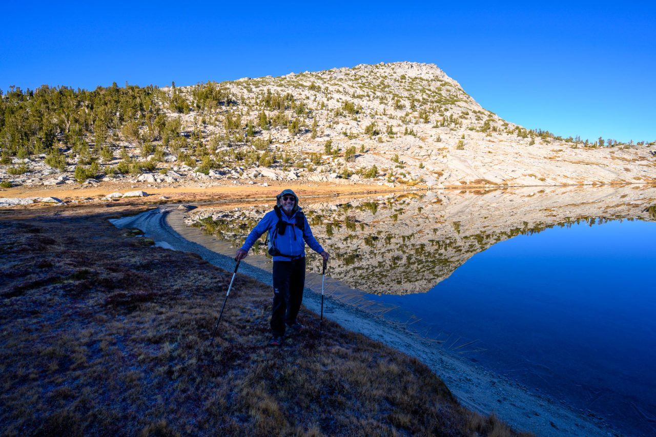
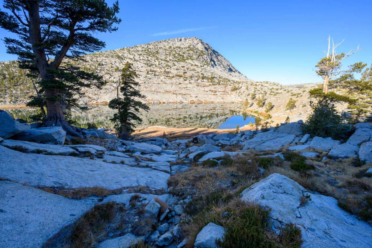
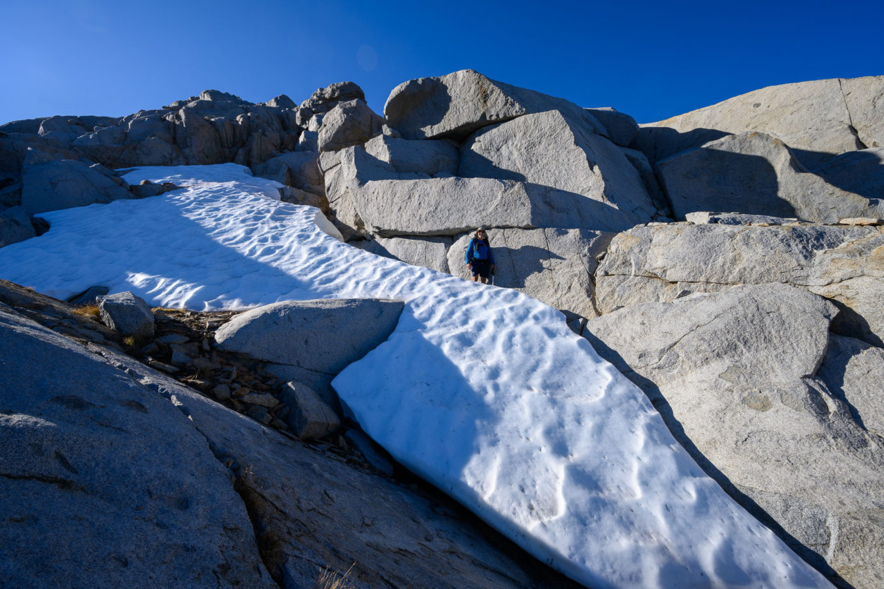
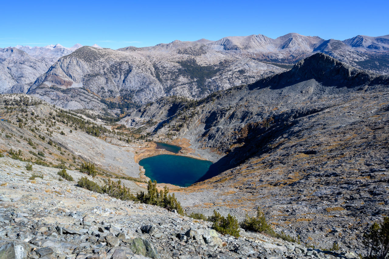
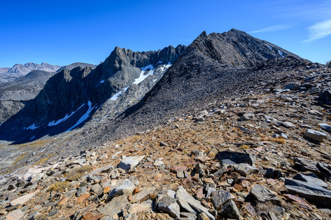
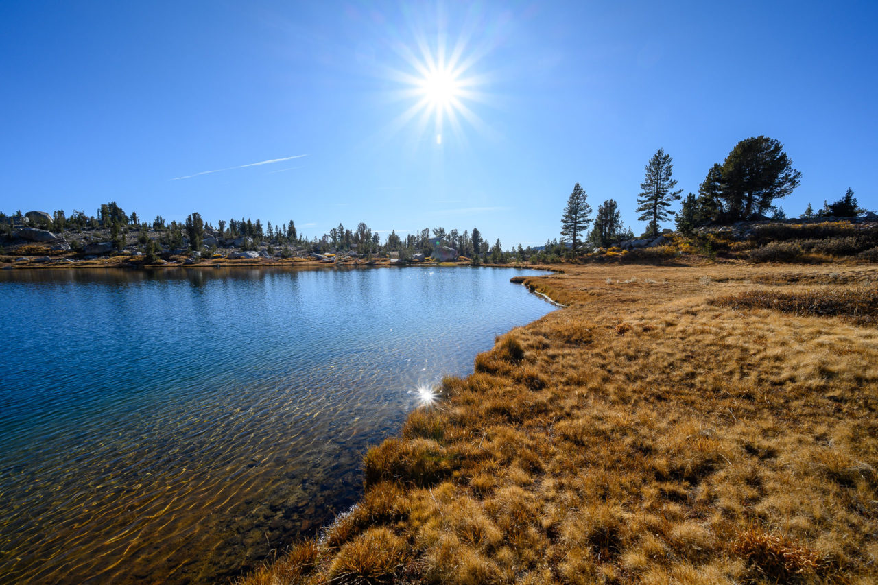
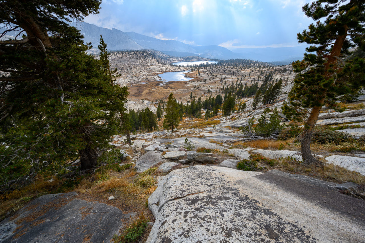
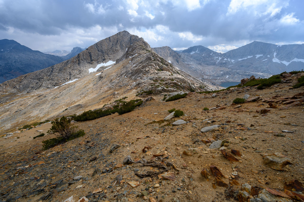
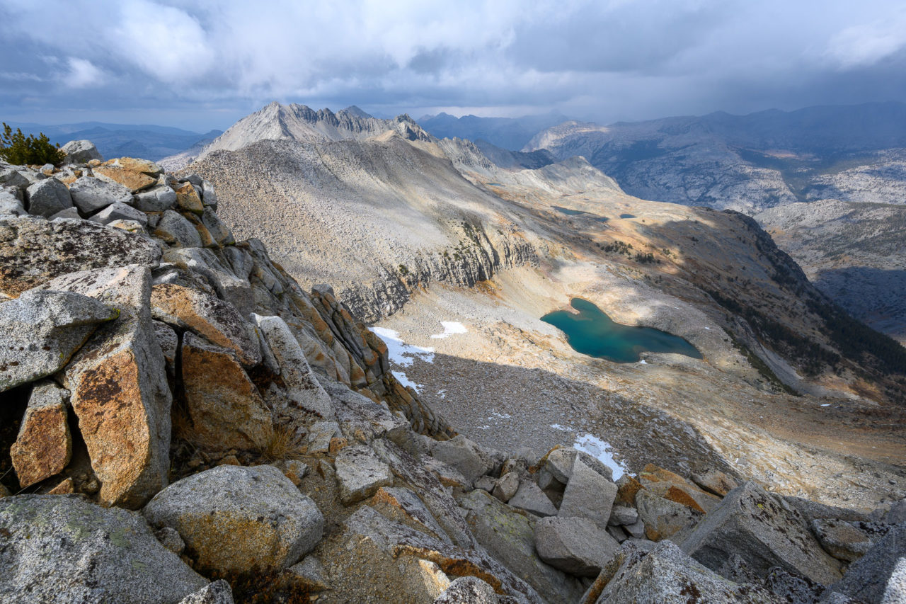
We got an early start the next morning, leaving a majority of our overnight gear in the tents. The plan was to do a ridge traverse including Mount Henry and two unnamed peaks on the LeConte Divide, then move camp a few miles to Hell For Sure Lake. By the time we reached Upper Indian Lake the sun was just starting to come over the ridge. There is an interesting gap in the rock at the far end of the lake called Mosquito Pass, which eventually leads to the South Fork of the San Joaquin River. We went over the ridge to the east of the pass, dropping down some snowy slabs above Bonita Lake on our way to the basin below Mount Henry.
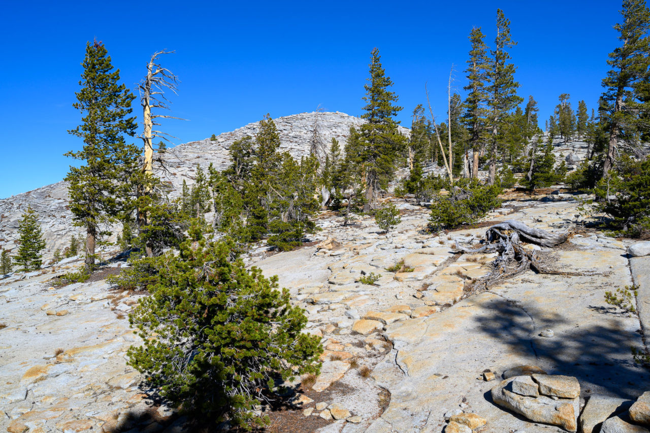
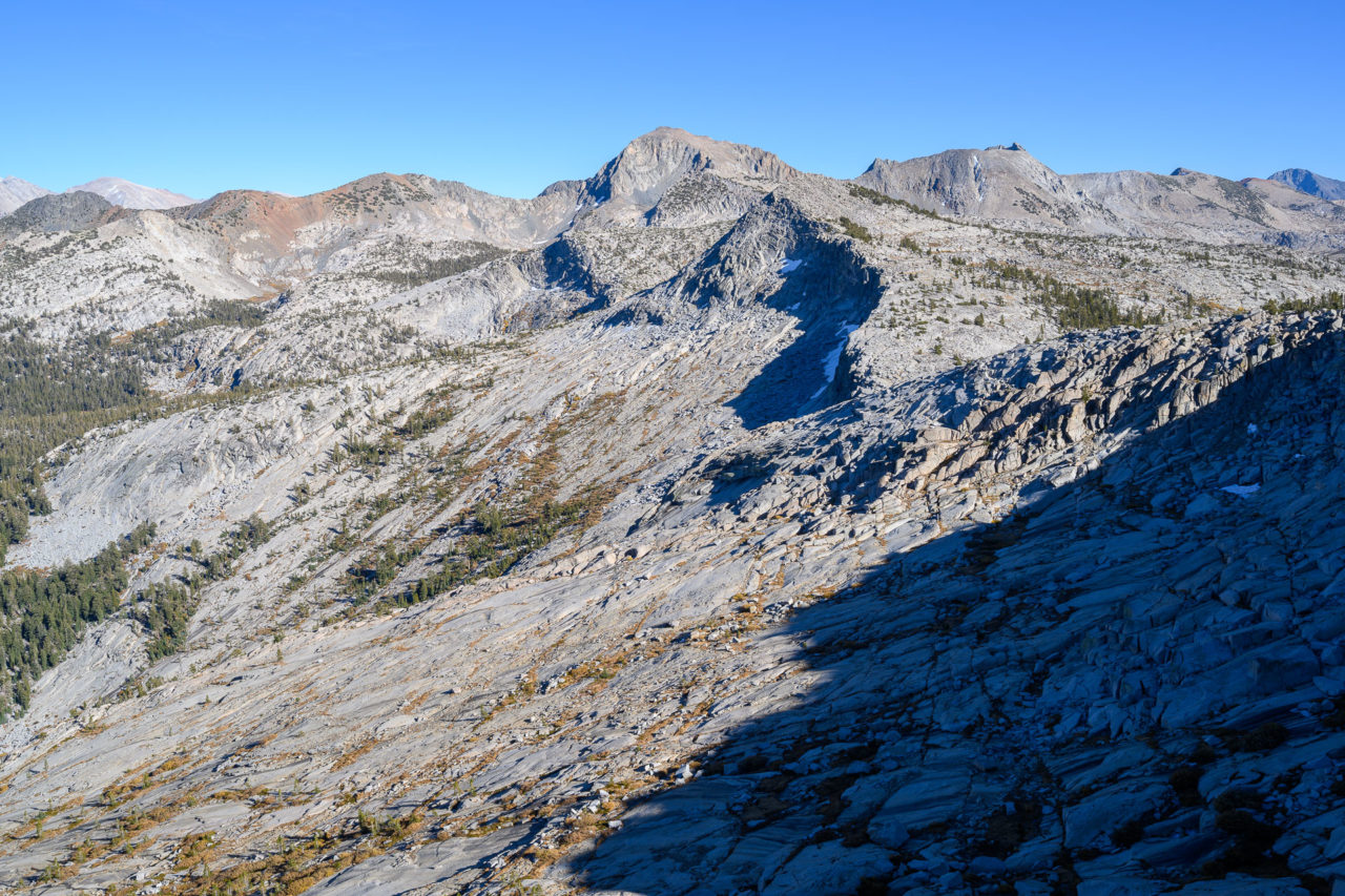
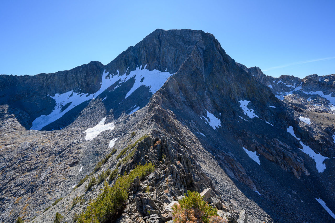
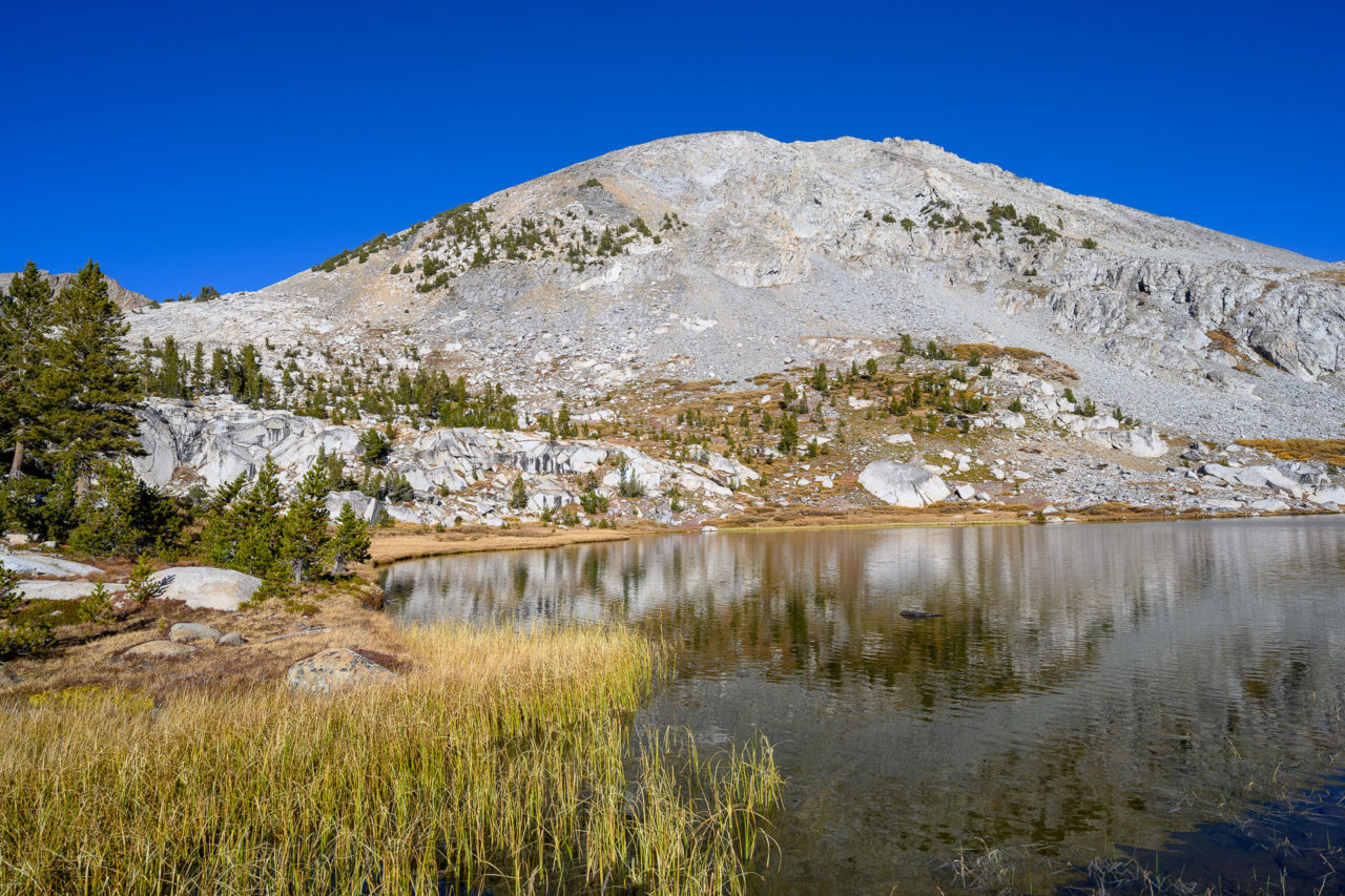
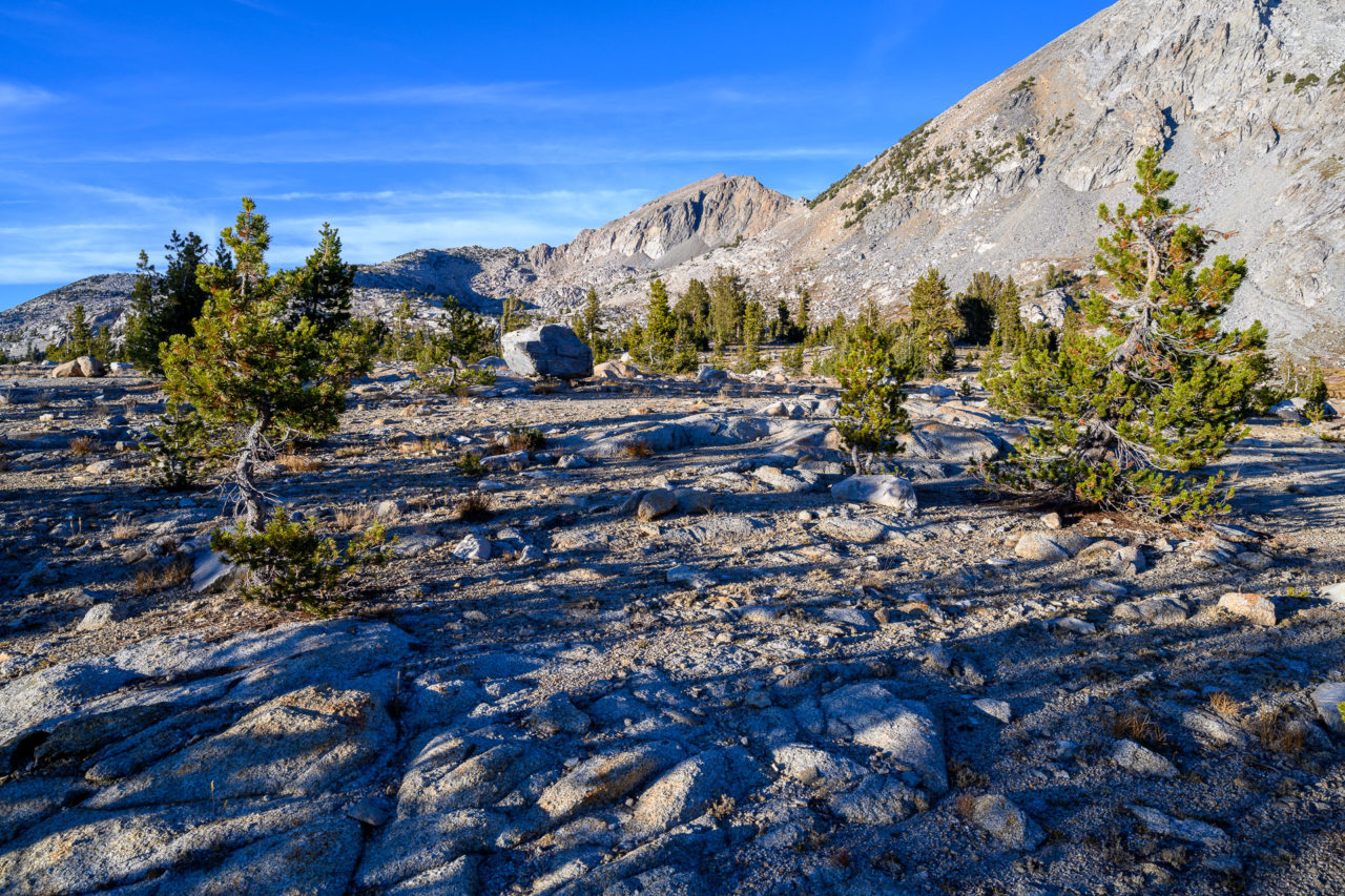
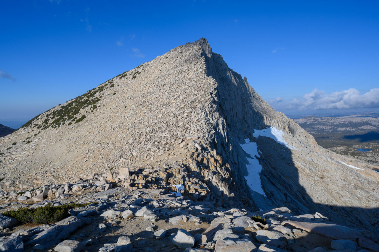
We got our first views of the north ridge of Mount Henry from the basin. The ridge appeared quite steep, nearly vertical at the top where the north ridge met the main face. The route was supposed to be Class 3, so we figured it would look easier as we got further up the ridge. First we turned our attention to Peak 11620, the northern most peak on the LeConte Divide. We made our way through forested terrain, which eventually transitioned to loose scree near the summit. There was no summit cairn, although groups that do the north ridge of Mount Henry likely go over this point.
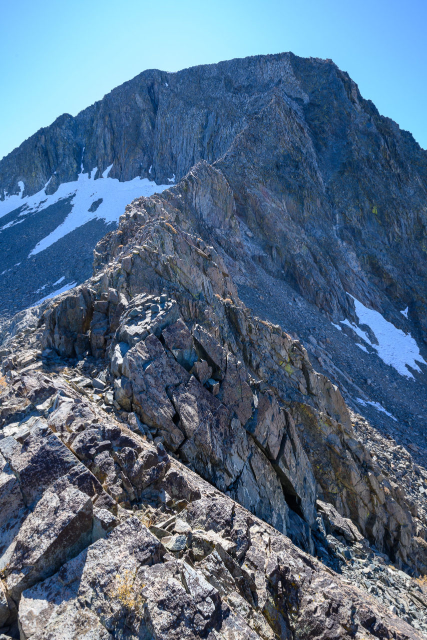
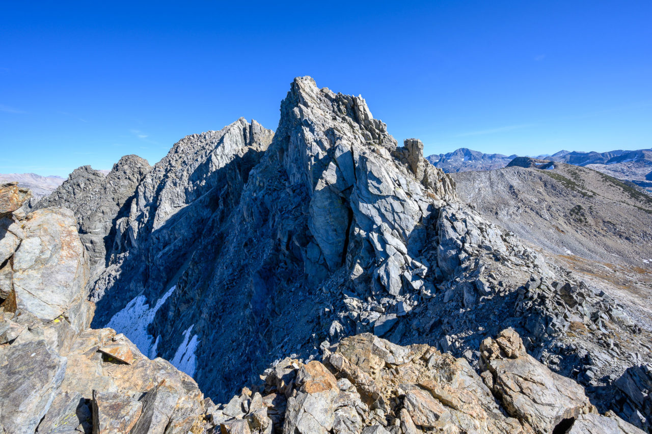
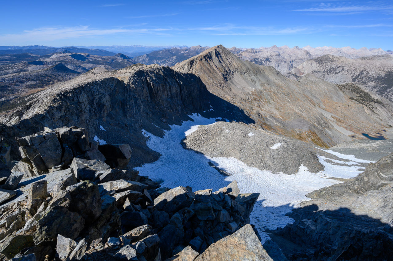
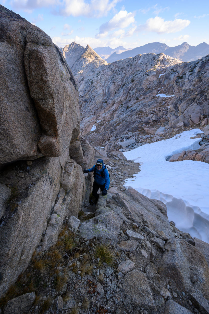
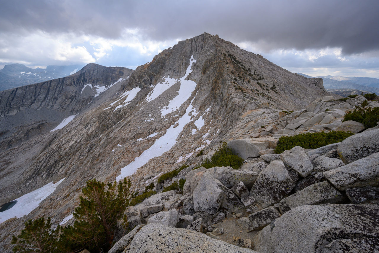
The initial section of ridge leading from the summit of Peak 11620 towards Mount Henry was loose, but never beyond easy Class 3. We bypassed some of the ridge on the east side, eventually making it down to the saddle. There is a large notch on the North Ridge that we could see from the saddle, which we assumed we would have to bypass on the east side by dropping off the main ridge. The climb up the ridge turned out to be quite enjoyable, and we quickly reached the notch. A short section of exposed Class 3/4 down climbing led to a ledge system on the east side that took us over to the notch.
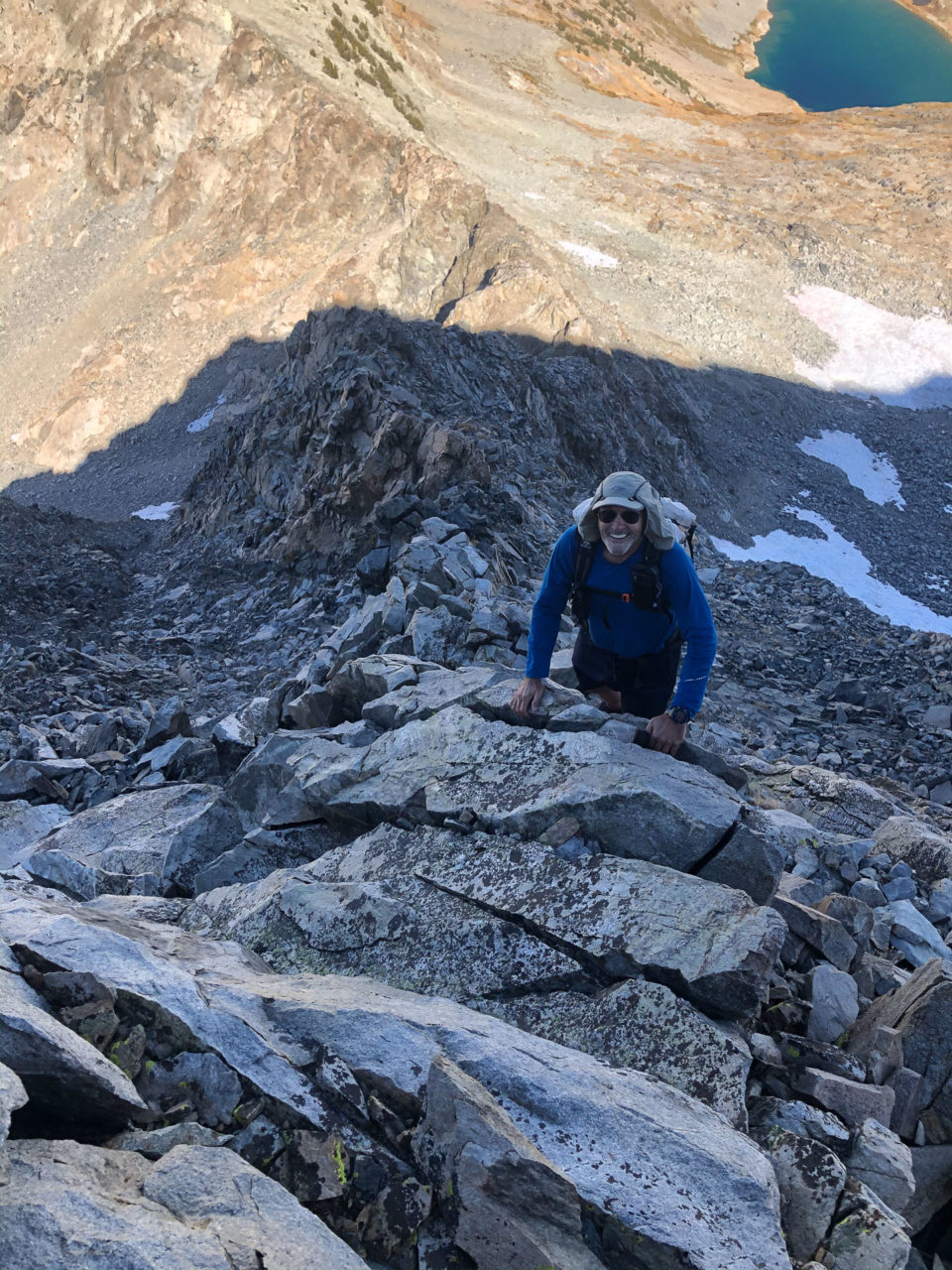
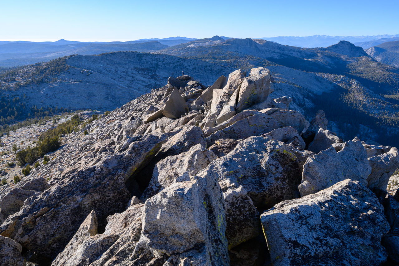
The climbing improved above the notch, remaining solid Class 3, steeper but with plenty of options to make upward progress. The route description I had suggested leaving the ridge to head further west near the main face, but the climbing looked no more difficult by continuing directly up the face. There was some exposed Class 3 on the upper face, but nothing that felt too difficult. At the top of the face there was a short section of Class 3 that led to the summit plateau. Enjoying the views from the summit, we both agreed that the climb was one of the better Class 3 routes that we had done.
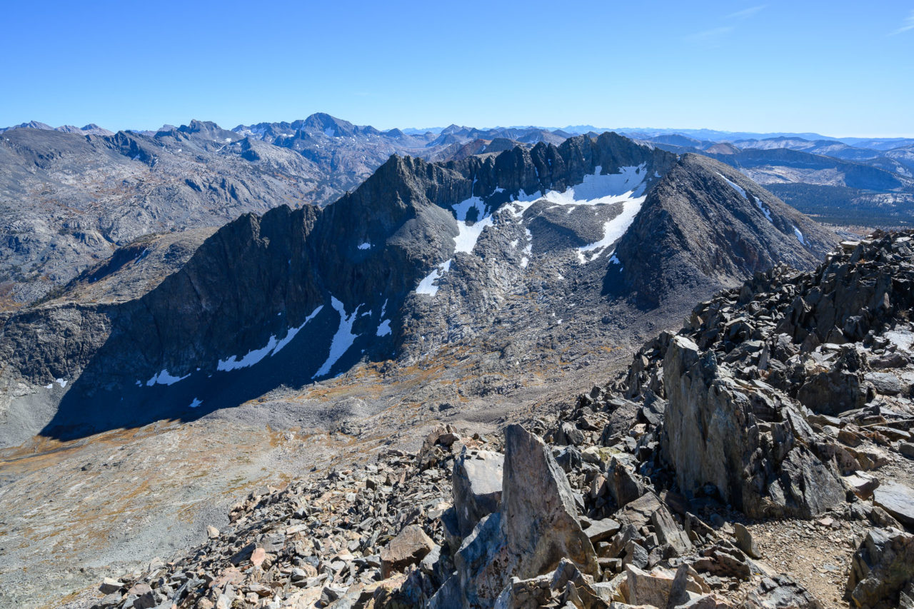
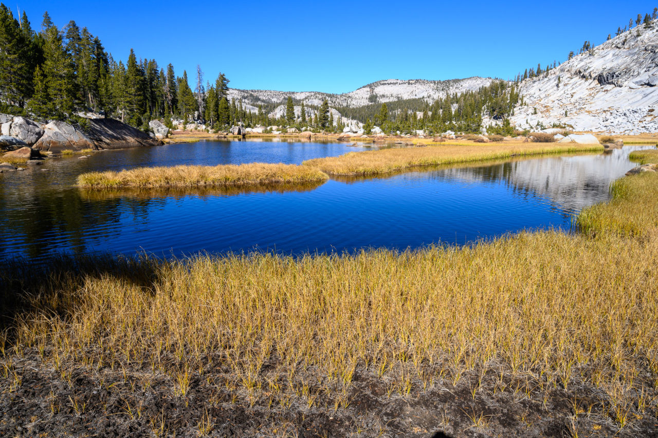
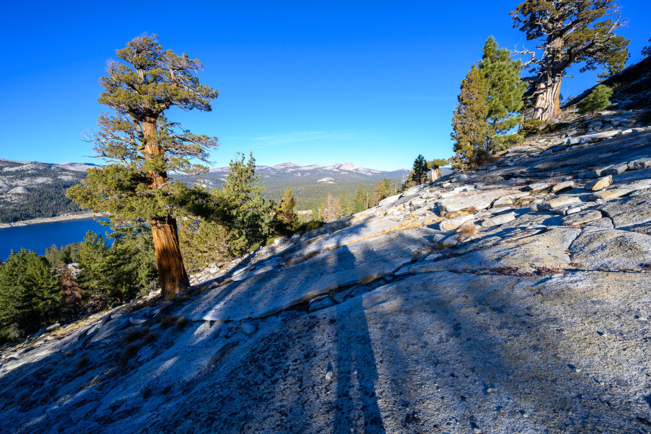
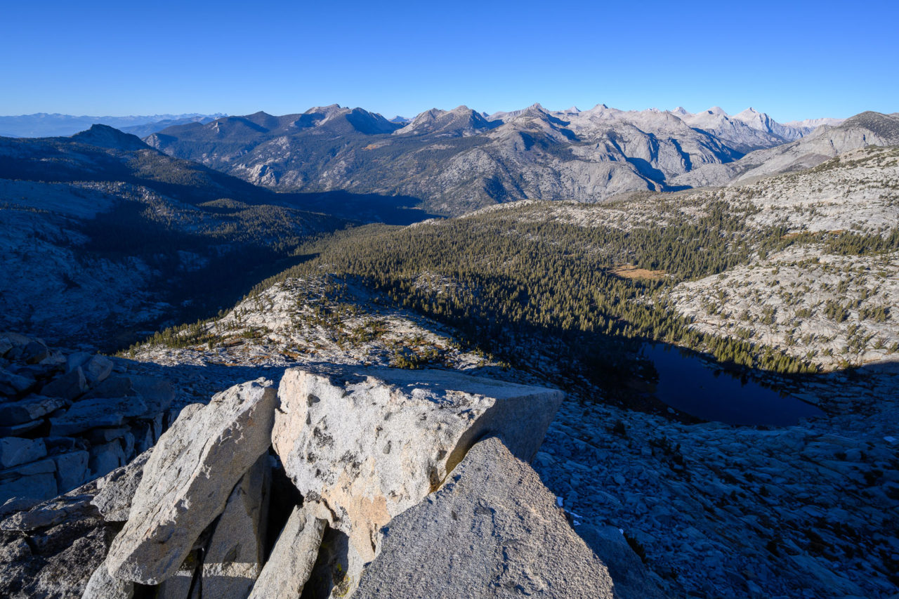
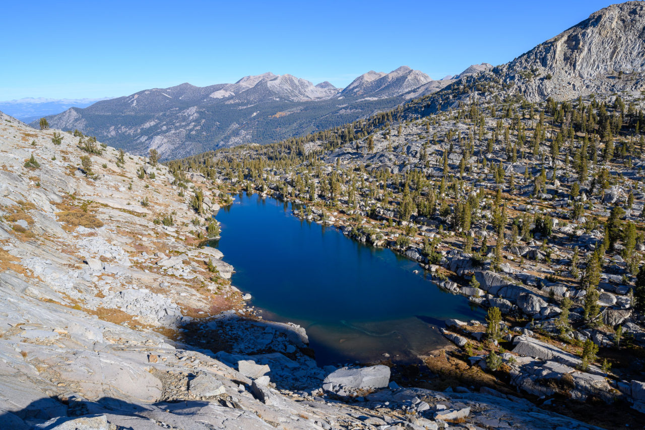
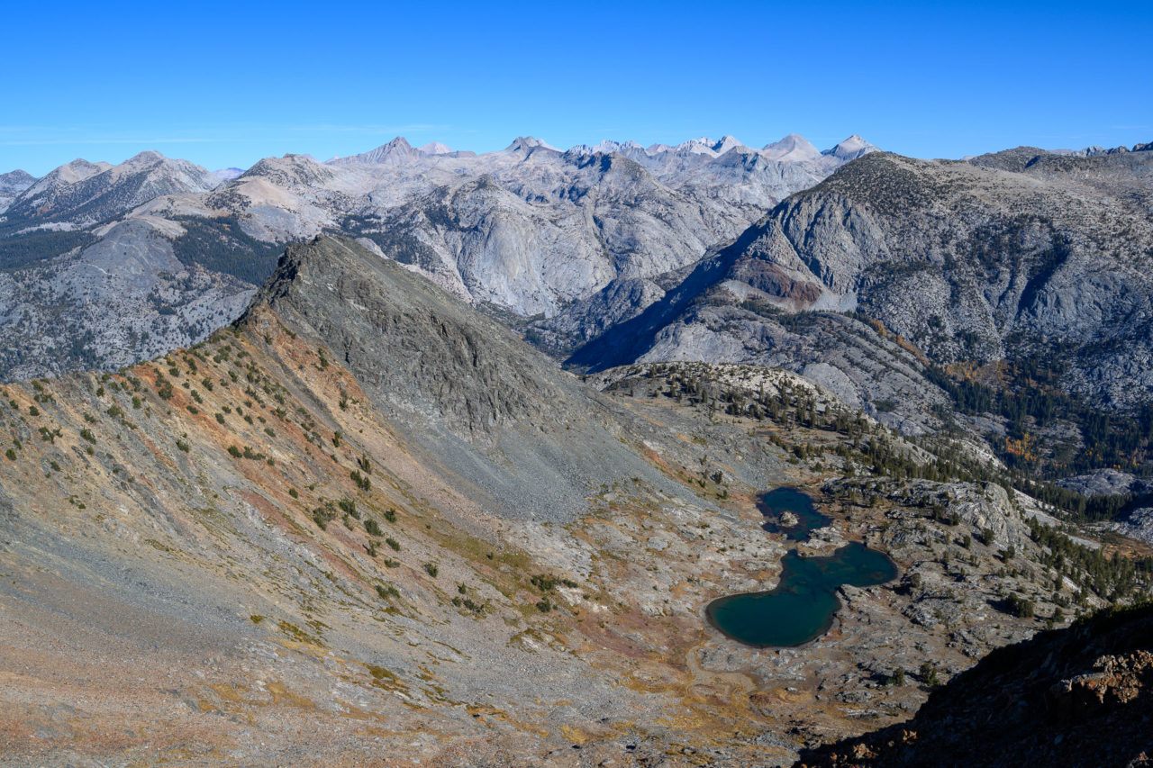
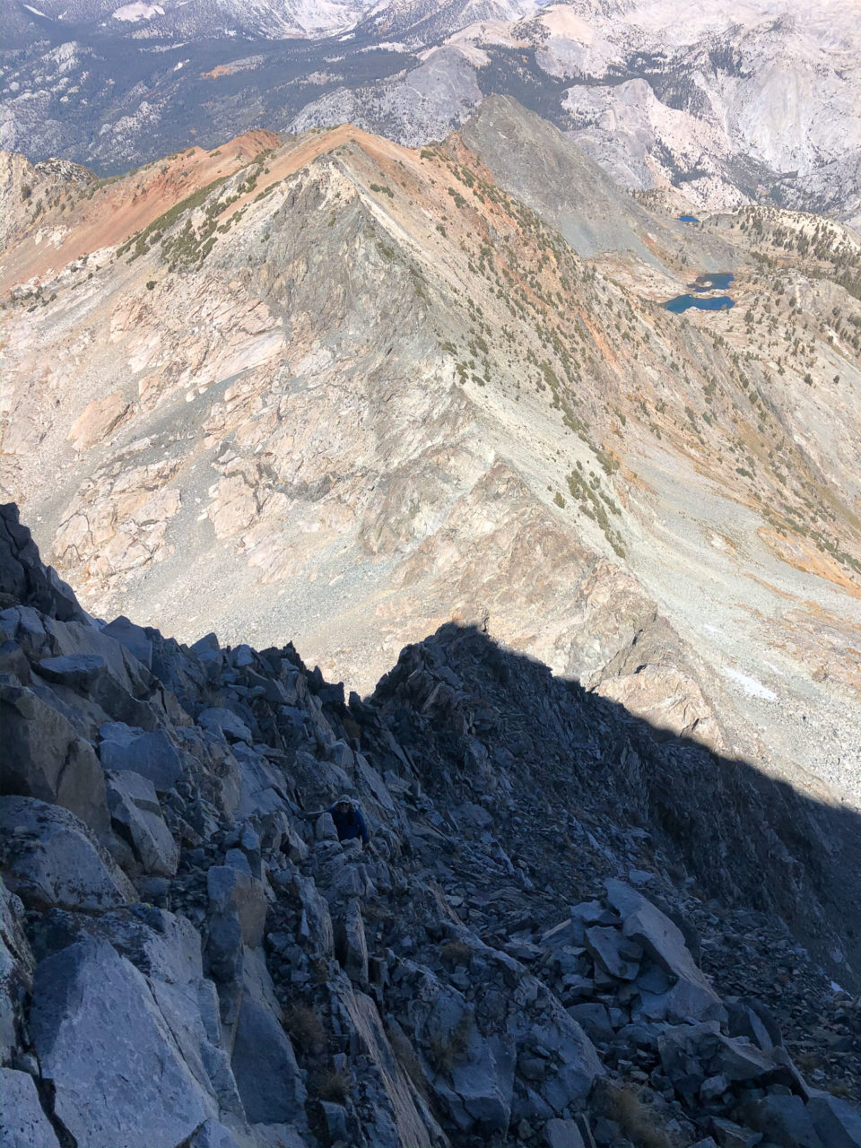
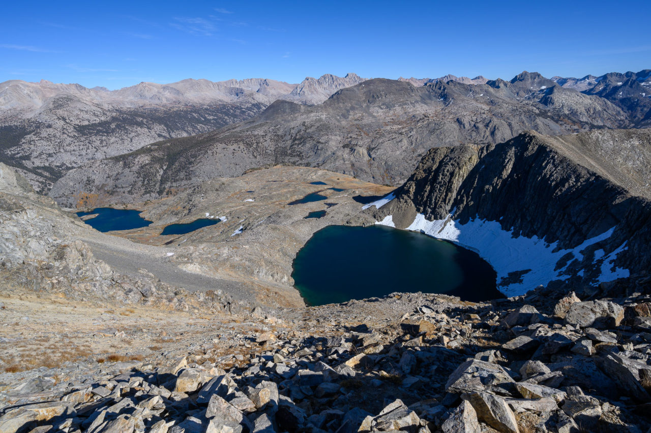
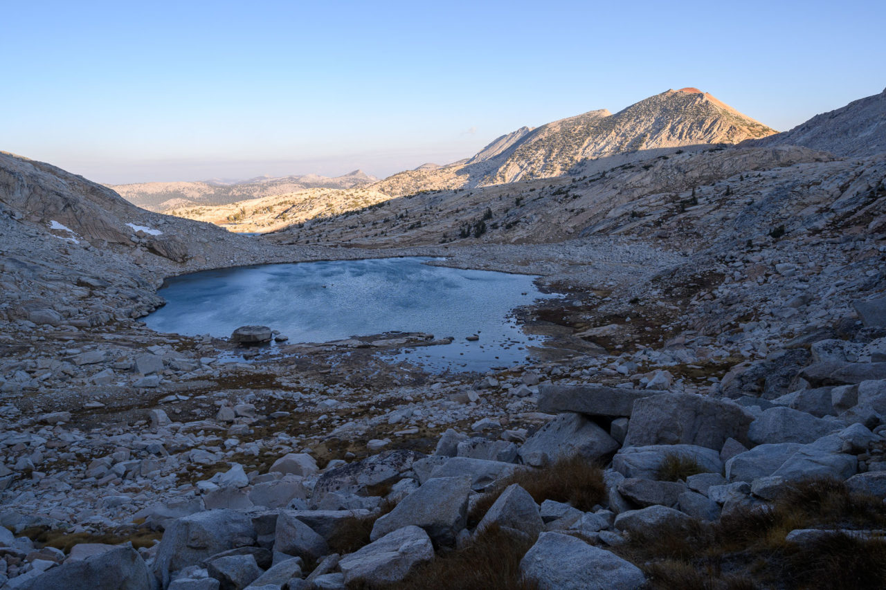
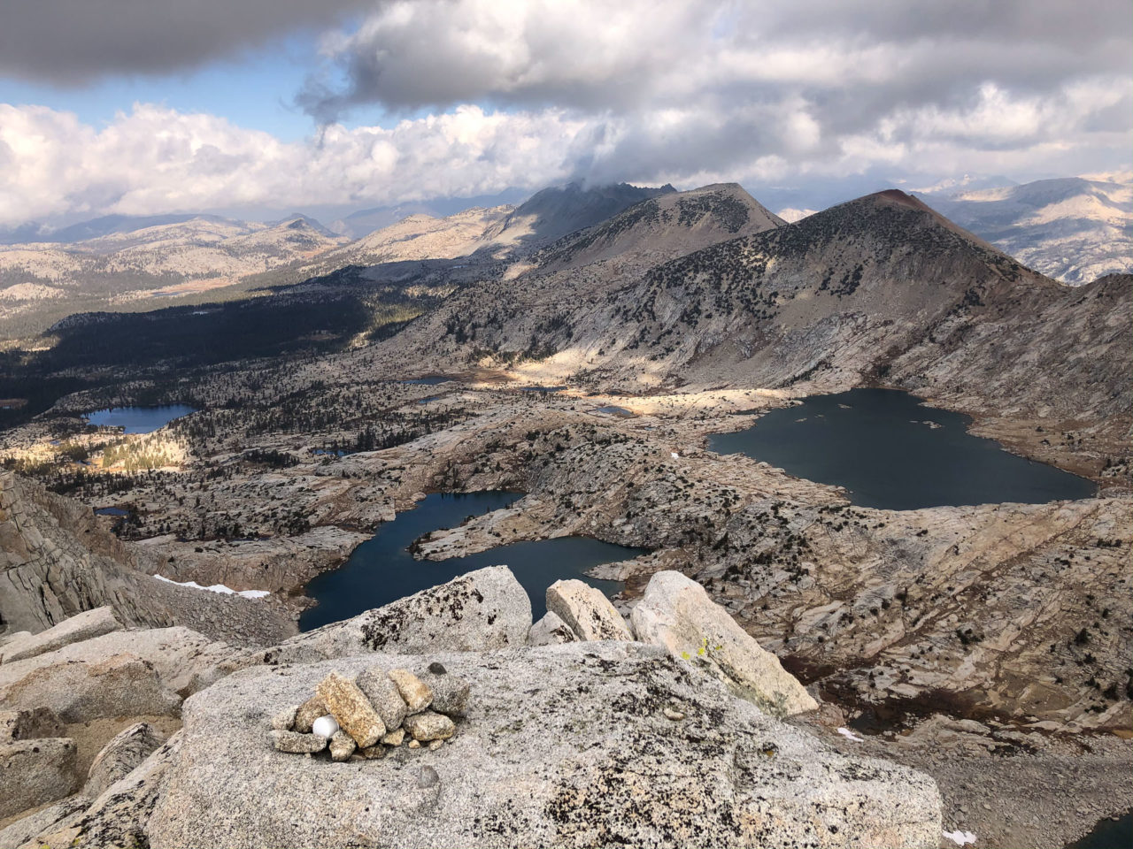
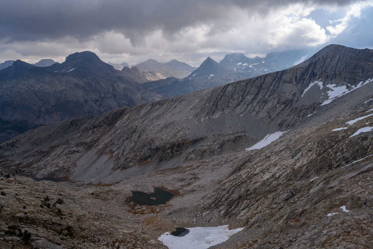
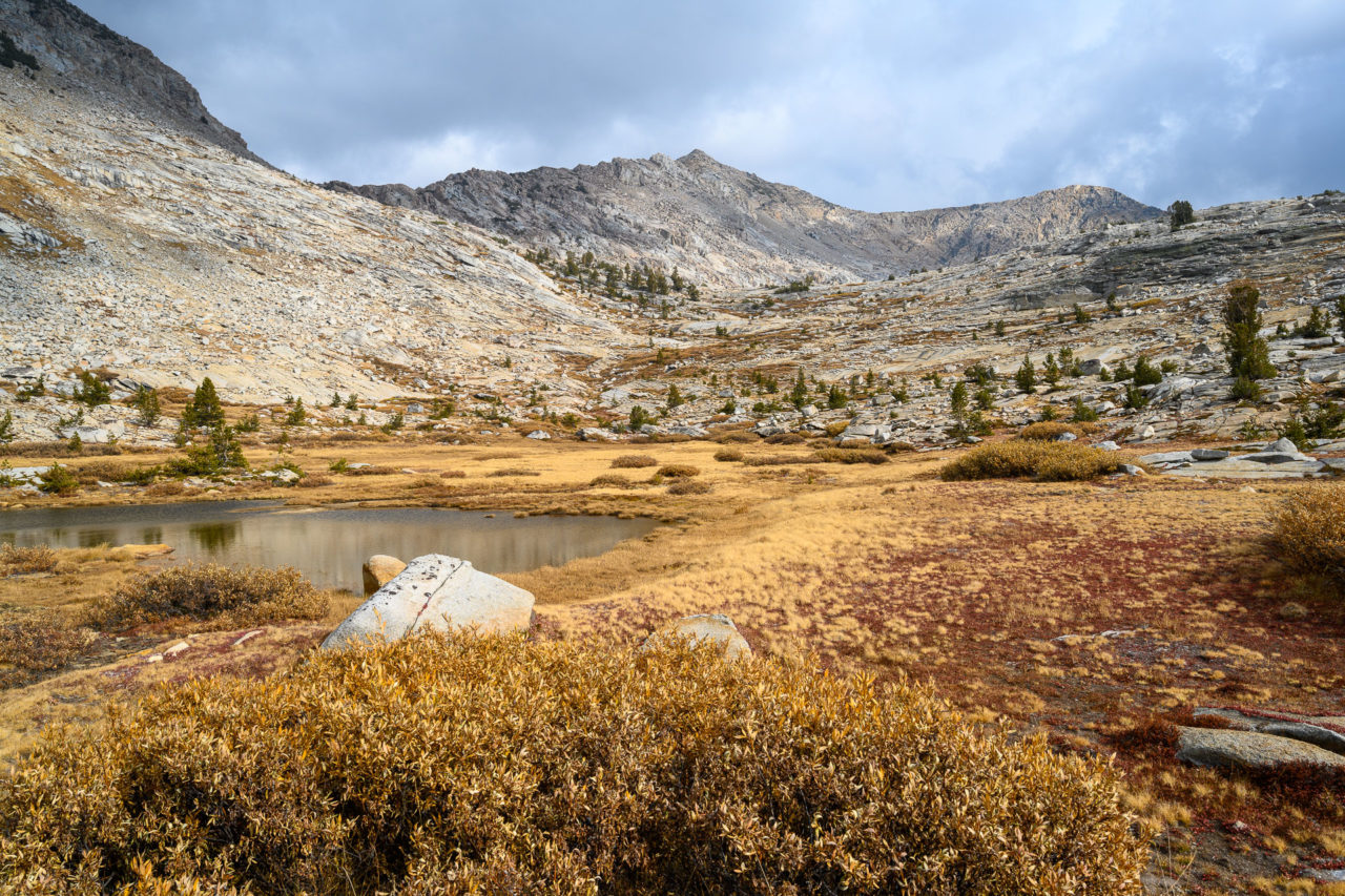
I was planning to visit Peak 12140 a mile further south on the divide. My dad was going to drop down the standard west ridge route for Mount Henry, with plans to meet up at Turf Lake. There was one section of steep loose Class 3 getting down to the saddle, then I stayed slightly below the crest on the east side as I made my way over to the summit. There was another short section of Class 3 on good rock near the summit, but otherwise most of the ridge was loose. Lake 11328 sits impressively in a bowl just east of the summit, still lined with deep pockets of snow despite being late in the year. I had expected that I might find a Smatko/Lilley register at the summit, as they had visited the peak in 1977, but I saw no sign of a previous ascent.
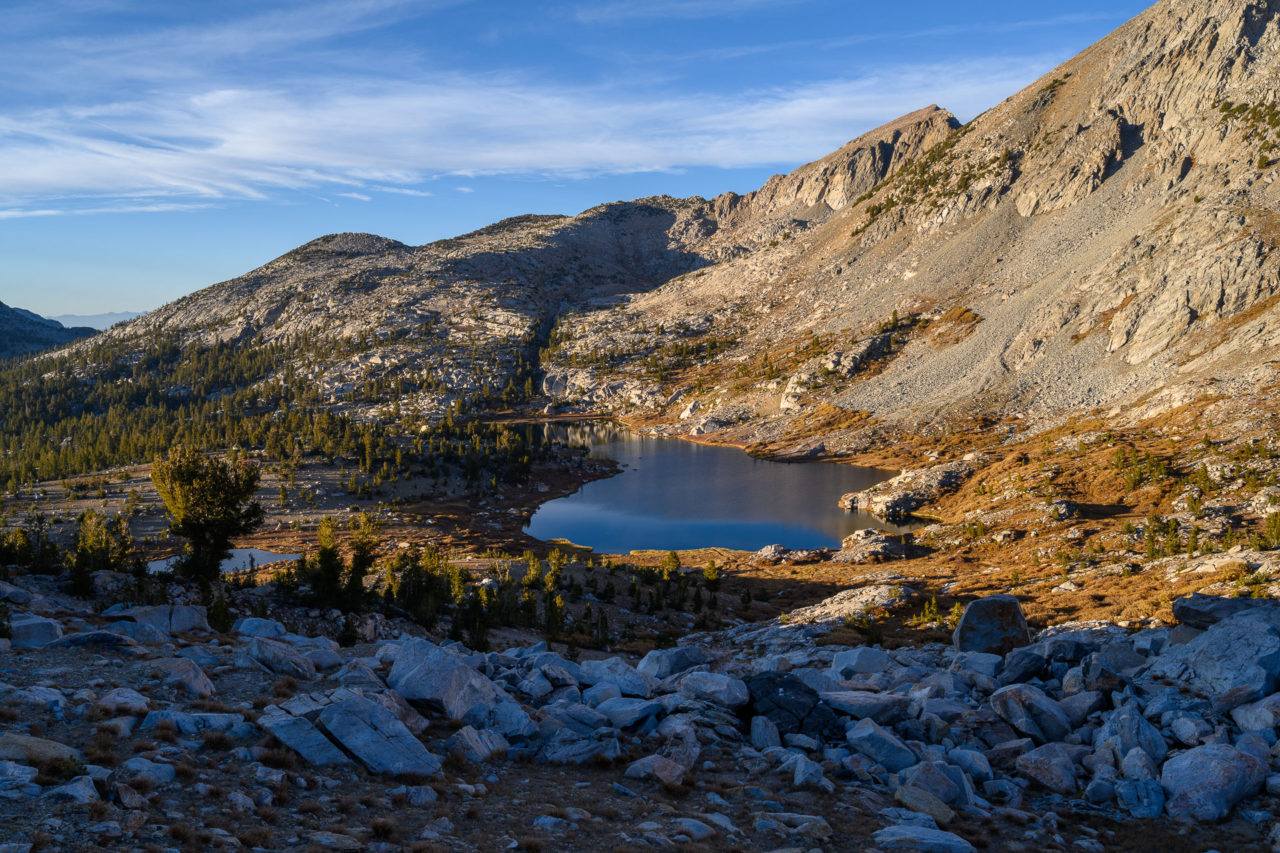
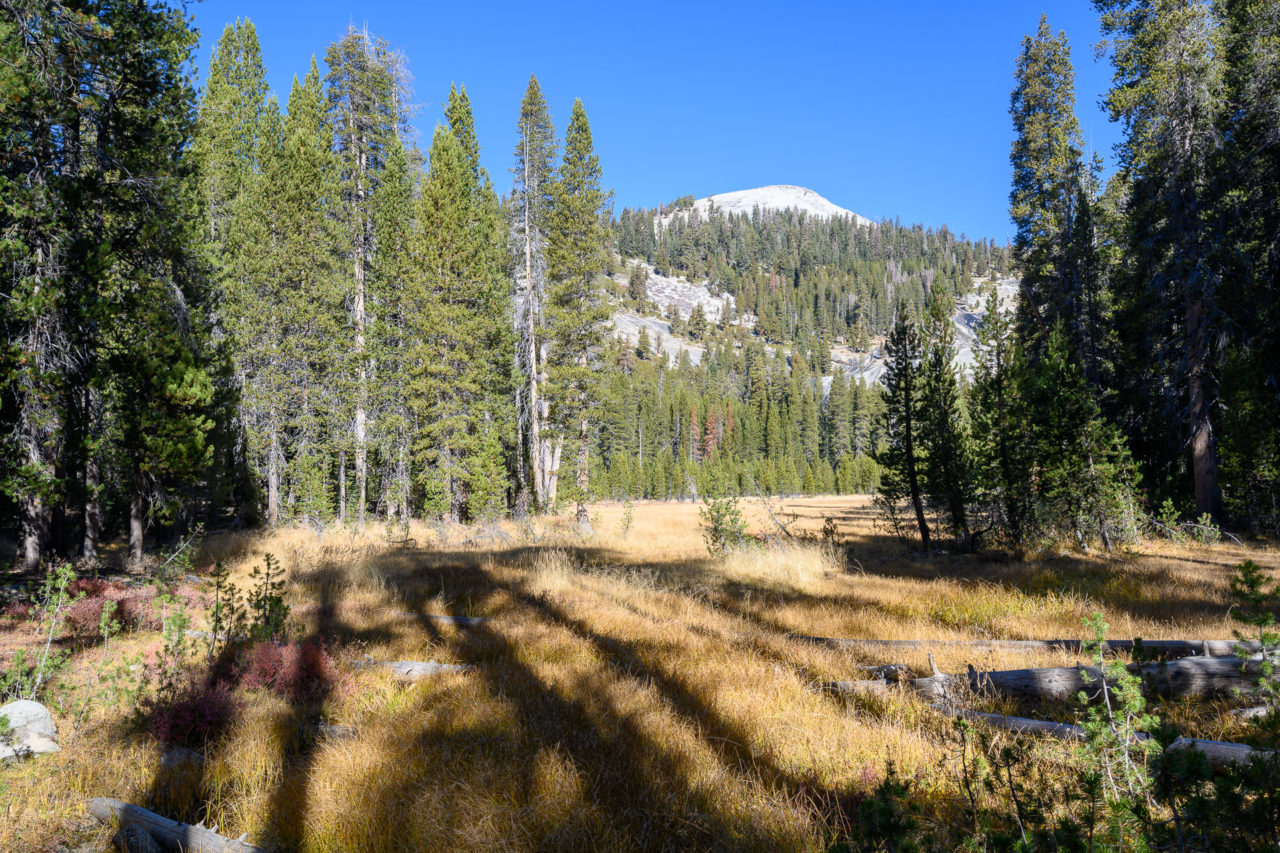
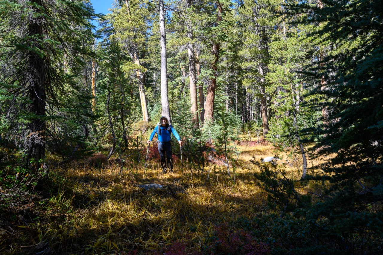
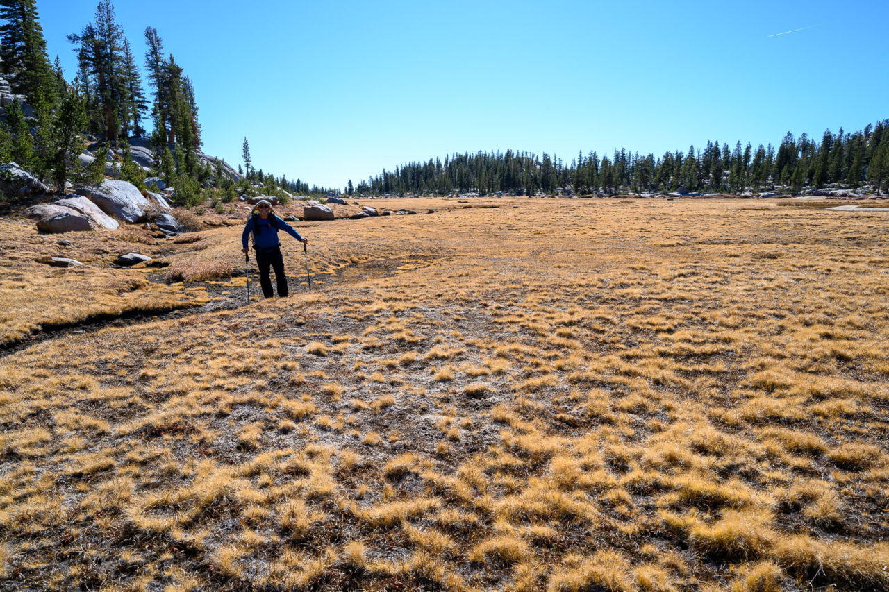
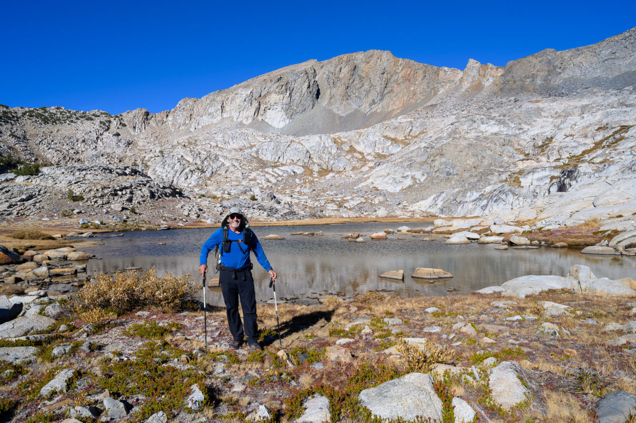
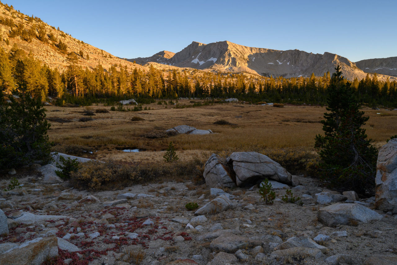
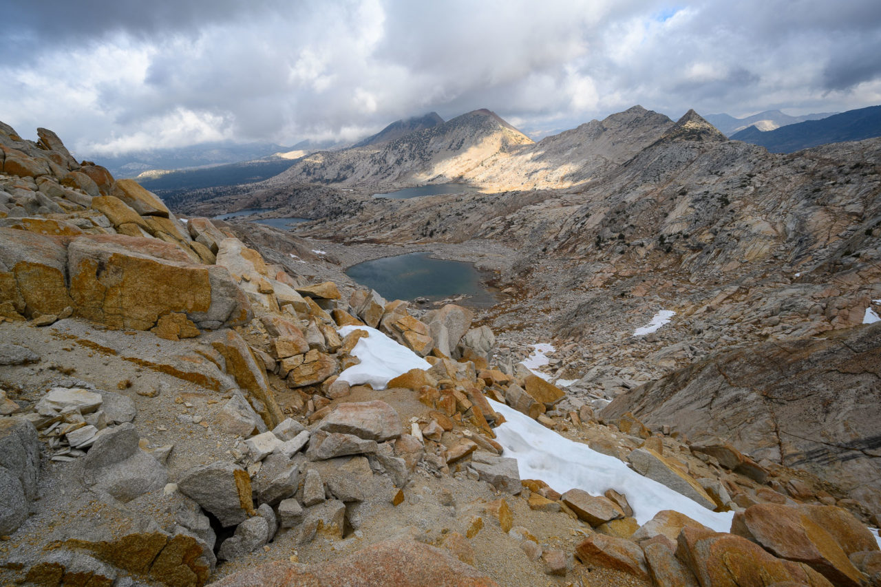
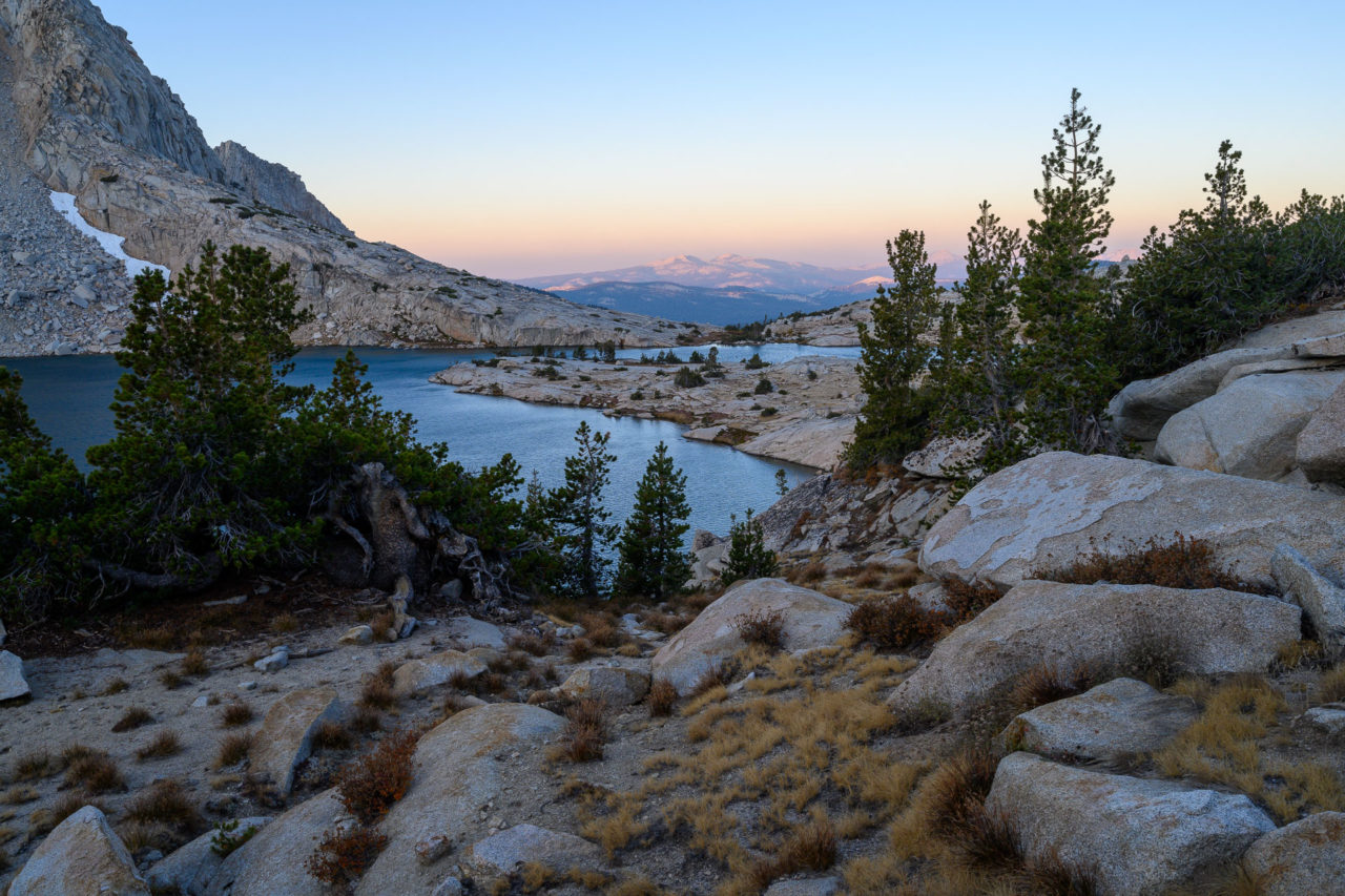
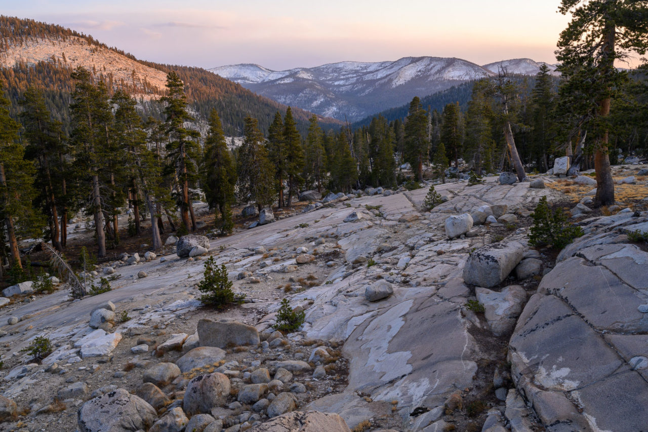
From the summit, I made my way down 1500ft of loose nastiness to Turf Lake, at one point briefly surfing on a large granite slab that came loose under my weight. The rest of the route back to the tents was much more pleasant. We followed a nice grass lined chute down to Davis Lake, then continued through forested terrain and meadows back to the tents. It was late afternoon by the time we were packed up and ready to move. The route to Hell For Sure Lake took us back up to Davis Lake, then across a large plateau below Diamond X Lake. The sun was starting to set on the mountains as we joined up with the trail below Hell For Sure Lake. We found a wind sheltered spot on a granite bluff above the lake to set up our tents, which had great views for stargazing.
13.0 Miles, 3900 Gain
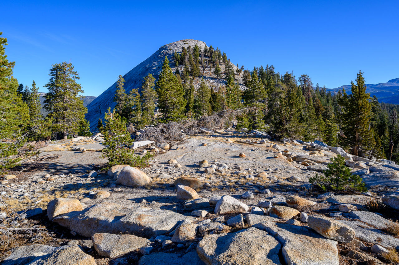
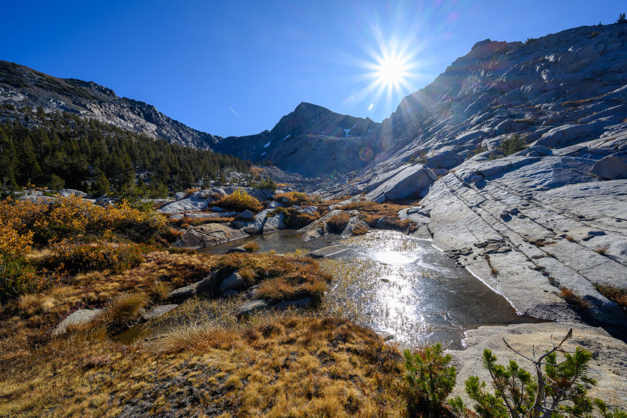
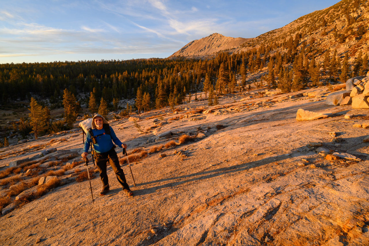
The weather pattern was supposed to shift on the third day of the trip. Temperatures were going to drop roughly 15F from the previous day, and the wind was supposed to pick up. We took all our warm weather gear with us when we started off around sunrise for Mount Hutton. The plan was to do a ridge traverse above Hell For Sure Lake, first visiting Mount Hutton, then continuing north on the ridge to Peak 11387, Red Mountain, and finally Peak 12020.
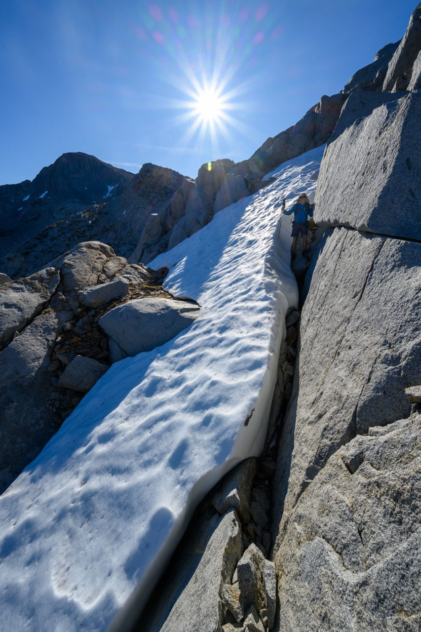
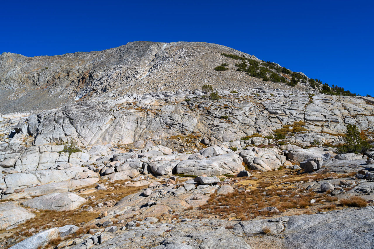
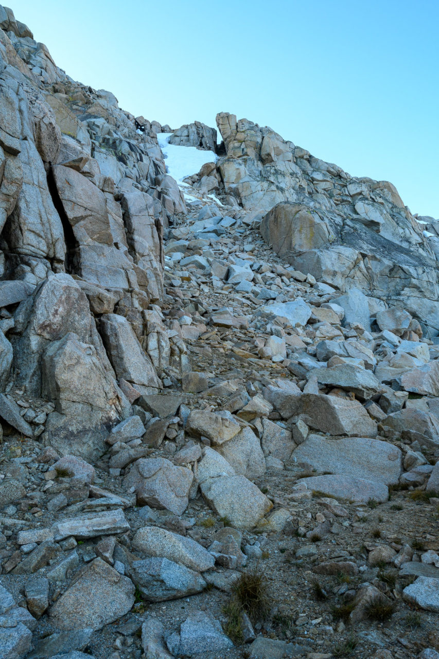
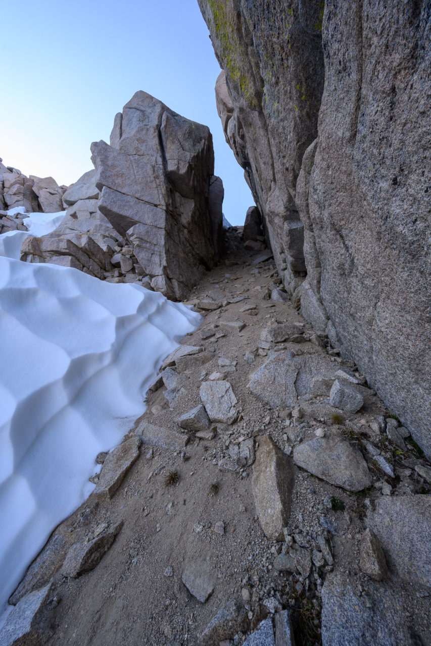
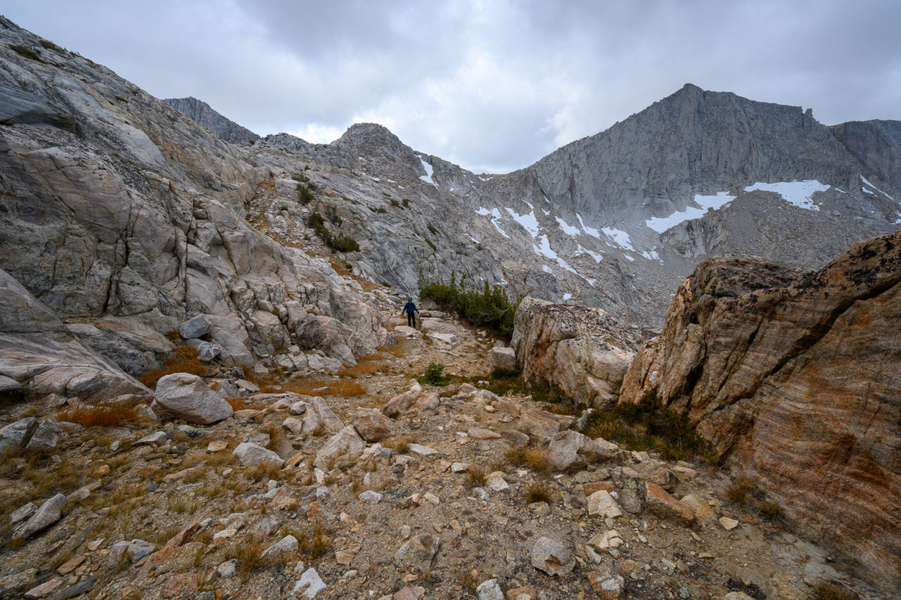
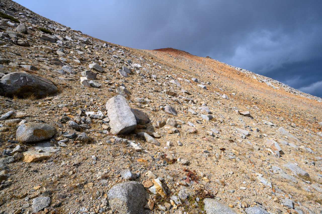
We were planning to use Hutton Pass to access the east ridge of Mount Hutton, but there was a tongue of icy snow blocking access, so we had to find a different way up. We started up slightly to the east of the pass, zig zagging up a system of granite ledges until we spotted a gap in the cliff. Just to the right of a large snow bank there was a steep ramp leading to the gap. The upper part of the ramp was loose scree, but it made for a decent alternative to Hutton Pass. We nicknamed the crossing “Arctic Pass” after the name of the nearby lake.
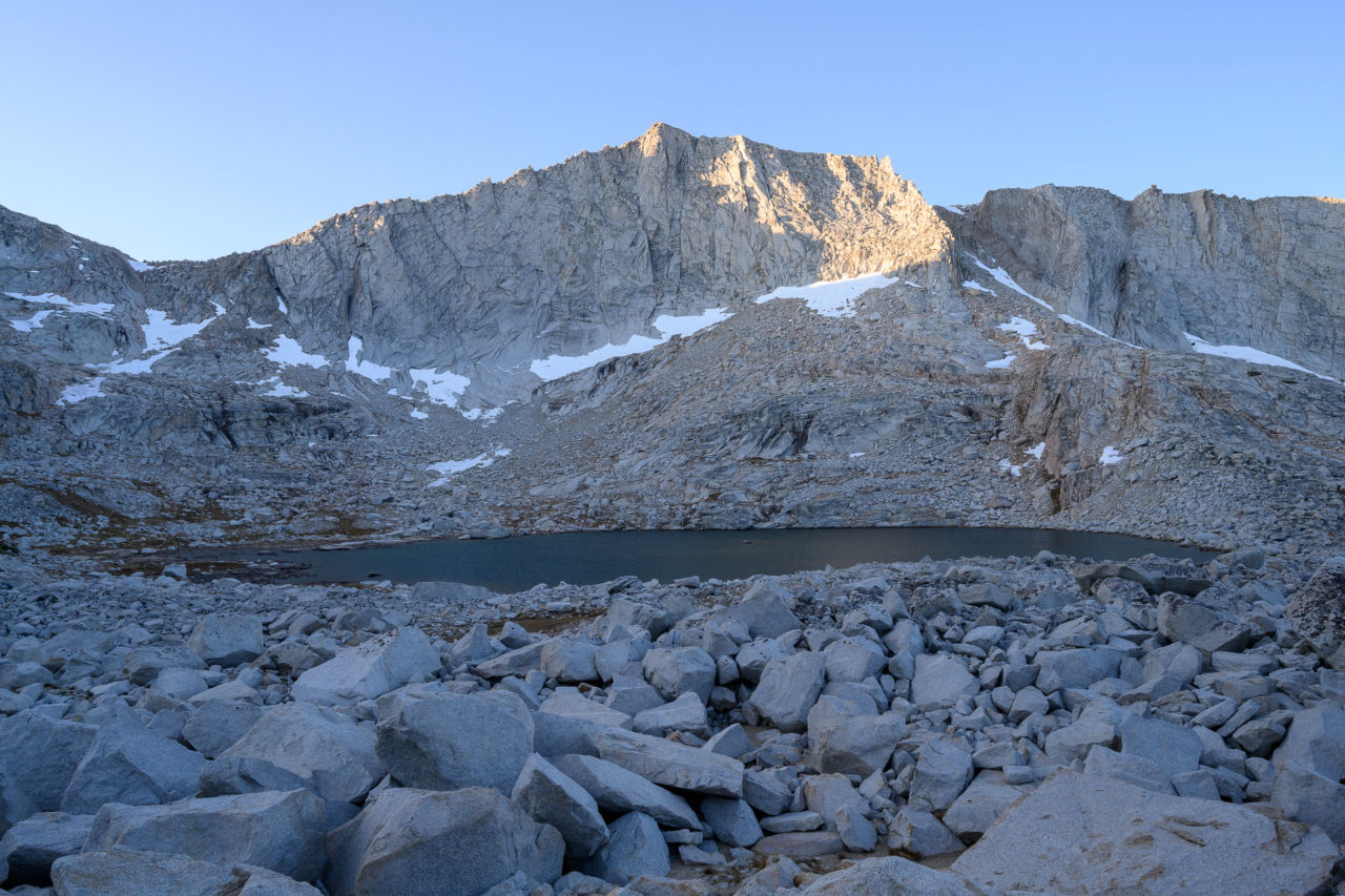
Once on the east ridge of Mount Hutton the full force of the wind became apparent, blasting us as we made our way behind the cover of a rock. Not only was it windy, but it was also starting to look like it might snow. There hadn’t been any precipitation in the forecast, so this came as a bit of a surprise. We made a quick climb up Mount Hutton on Class 2/3 terrain, taking cover behind a boulder near the summit. My dad had left his water bottle in an outside pouch and it had started to freeze solid. The summit of Red Mountain had dark clouds streaming past, and the higher peaks around Mount Goddard were completely socked in. We regrouped at the saddle below Mount Hutton and discussed our plans.
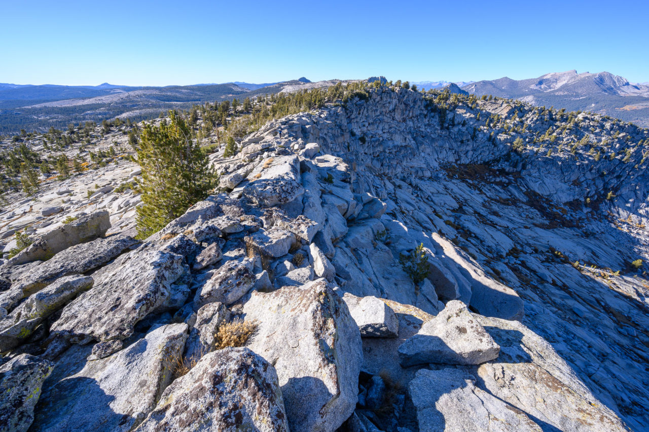
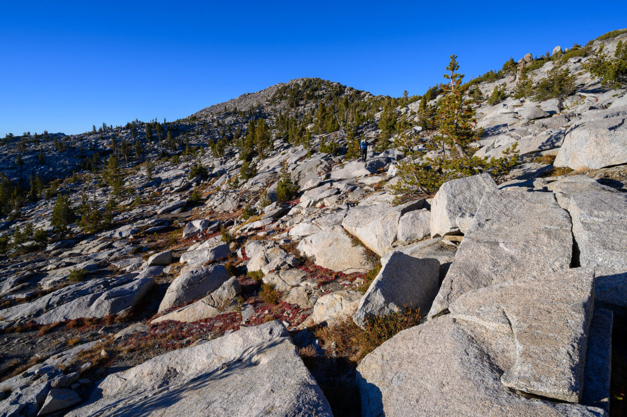
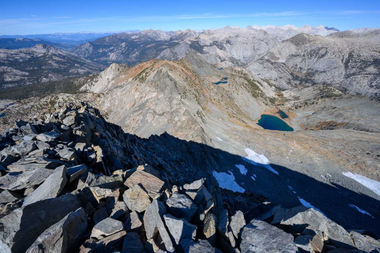
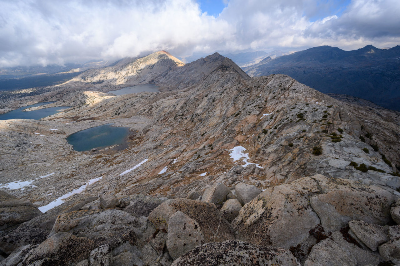
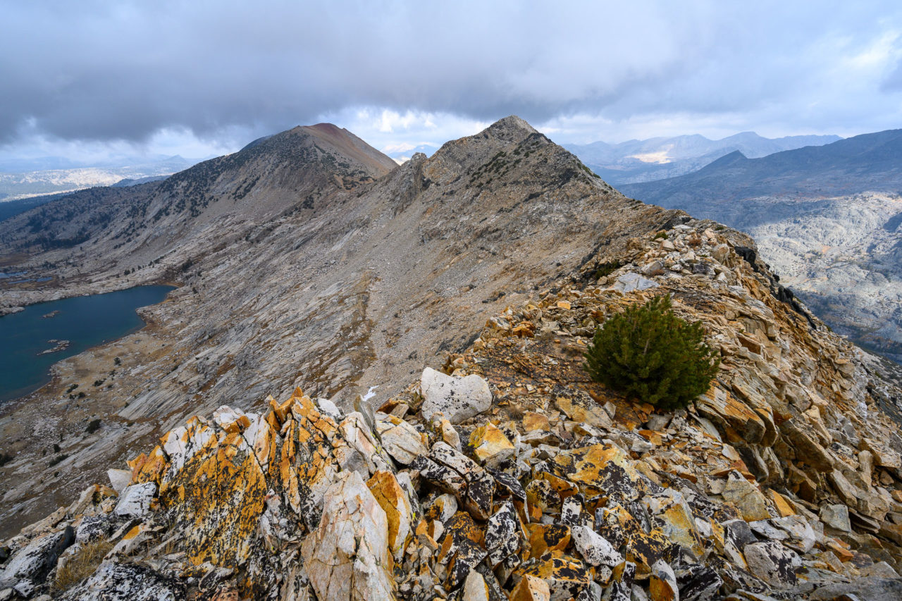
I had been planning to climb nearby Peak 12020, but we decided it would be better to start north on the ridge. If the weather worsened there was an easy ramp half way along the ridge that led down to Hell For Sure Lake. Despite the wind, the ridge turned out to be fairly interesting, with good views up cloudy Goddard Canyon. There were a series of granite ledges that led to a grassy shelf on the west side of the crest. The grassy section allowed for quick progress over to the base of the ridge leading to Peak 11837. We found a cairn at the summit, but no summit register.
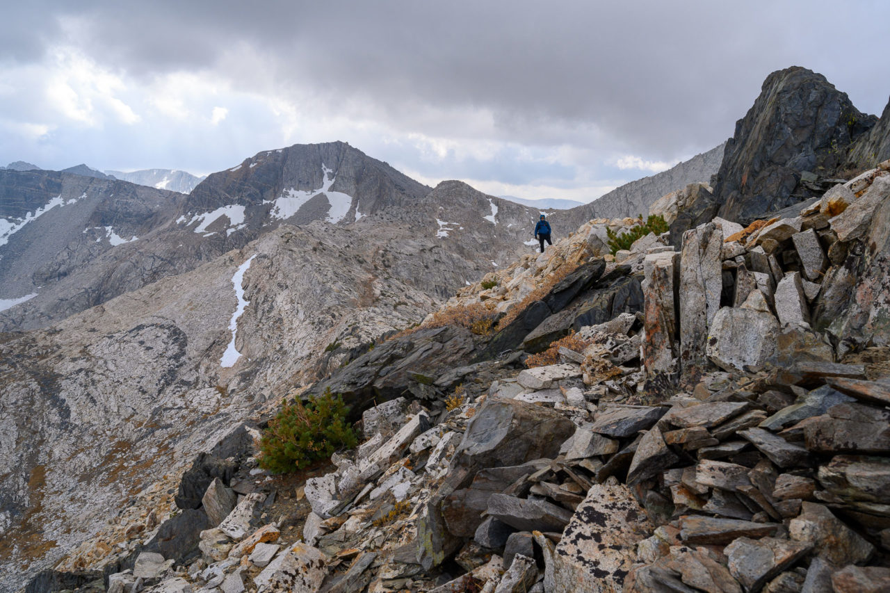
As we started down Peak 11837 the weather began to improve. The sun was breaking through the clouds and the wind started to let up. It was still fairly dark to the north, but the wind seemed to be pushing the storm front away from us. We stayed mostly on the ridge as we descended Peak 11837, finding one blocky Class 3 section that we bypassed on the east side. At the saddle we found a use trail leading to Red Mountain, one of the first trails we had been on the entire trip. My dad was planning to climb Red Mountain, then return to the pass and come down the trail to Hell For Sure Lake. I was planning to continue on to Peak 12020, so I went ahead at this point, signing into the register on Red Mountain, and then continuing north.
There was a mixture of sandy slopes with a few rocky sections that made for quick progress over to Peak 12020. I found a rock cairn at the summit, but no register. Rather than re-climb Red Mountain to get back to Hell For Sure Pass, I chose to descend the basin below Peak 12020 and loop back to the lake. Steep slabs led back to the trail, where I found my dad repacking his gear. Our plan was to move down the canyon to Fleming Lake, finding a spot below tree line that we expected to be slightly warmer. I had checked the forecast ahead of time and it was supposed to get down to 15F that night at Hell For Sure Lake.
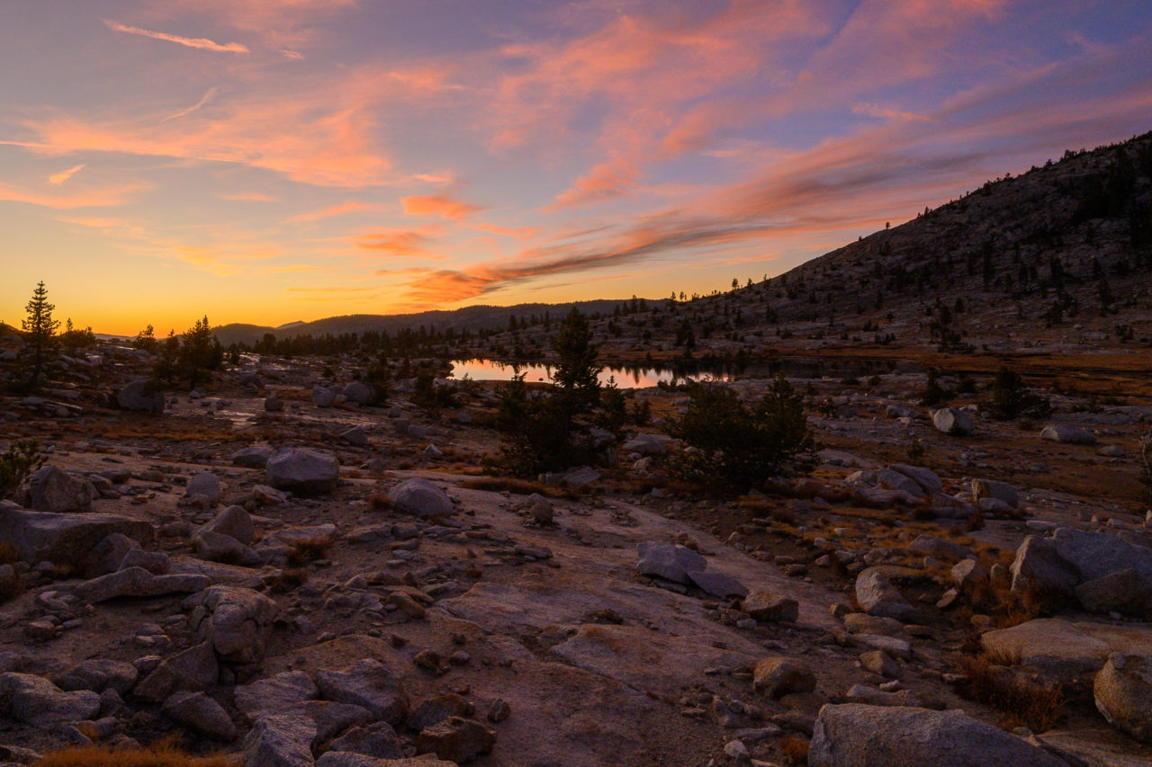
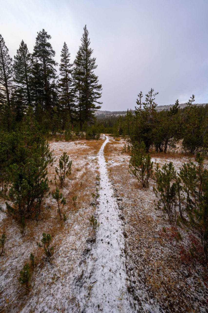
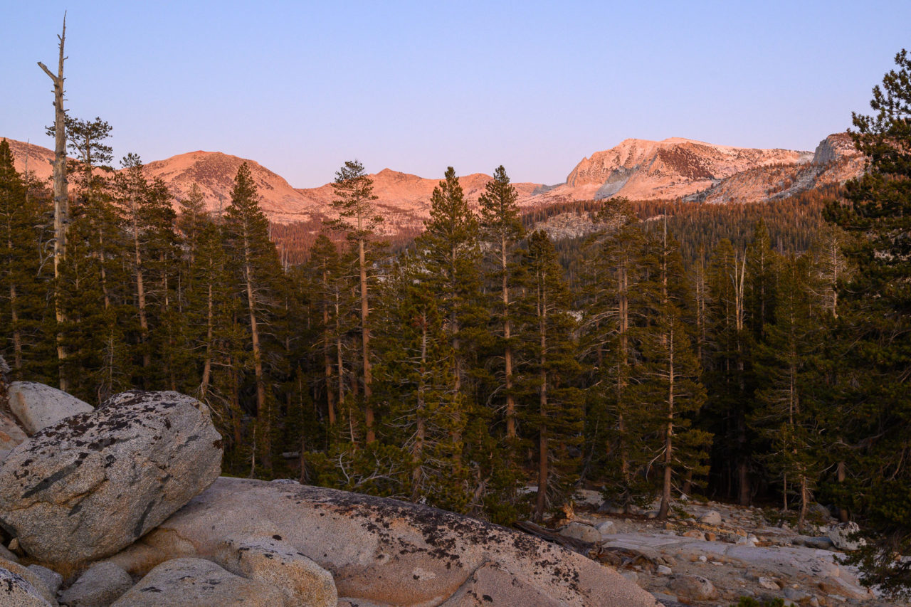
Just as I was starting to pack up there was a sudden change in the weather. A fierce wind started to blow across the lake creating large white caps and it started snowing. The snow was coming down nearly horizontal with the wind, quickly reducing visibility. I finished packing up and we started down the trail. The snow kept falling, but as we made it below tree line the wind started to lessen. By the time we reached Fleming Lake the snow had stopped entirely. We briefly considered stopping at Fleming Lake, but camping on wet snow didn’t sound very appealing, so we continued down a few more miles, eventually dropping below the snow line. We found a nice spot on the ridge above Fleming Creek and enjoyed the sunset on Mount Hutton as we made camp for the night.
11.3 Miles, 1800 Gain
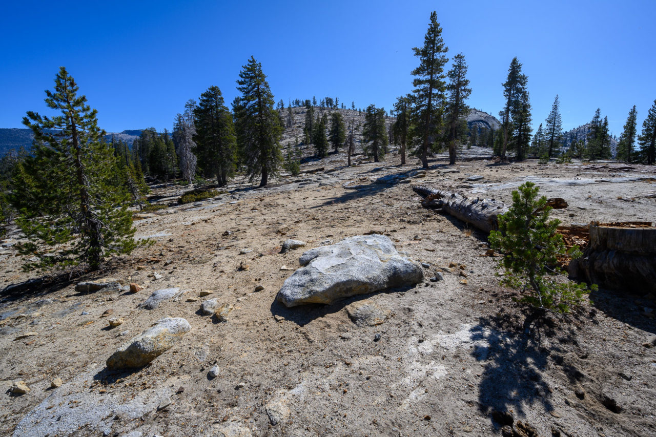
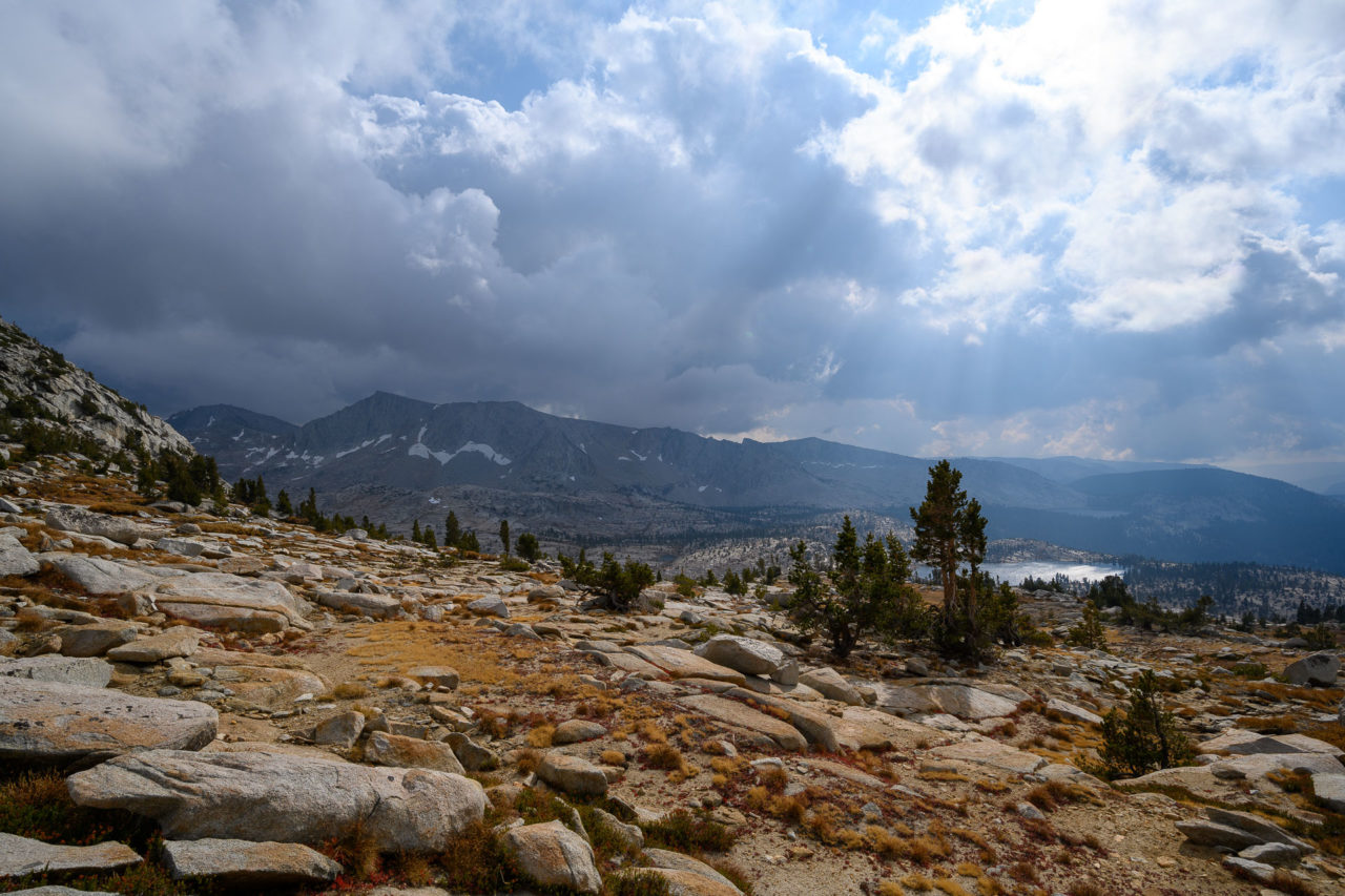
The previous night had been the coldest of the trip. We slept with our water bottles in our sleeping bags, but in the few minutes that we had them out in the morning to make breakfast they had started to freeze. The final day of the trip was meant to get us back to the car early so we could get home at a reasonable hour. We had roughly ten trail miles back to the car, with a quick detour to climb Voyager Dome near the trailhead. All of the standing water near camp frozen overnight. We checked the depth with the point of our hiking poles, and found the ice was roughly a half inch thick.
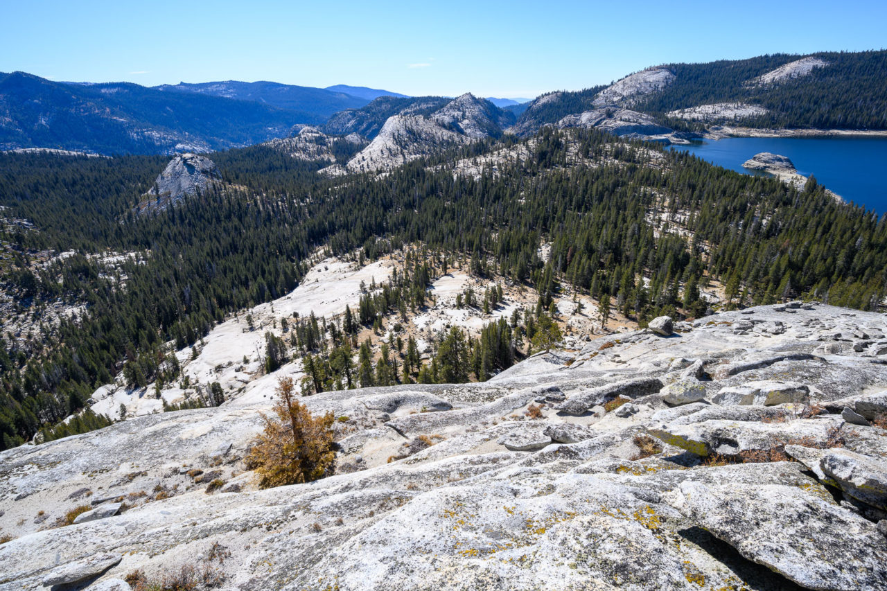
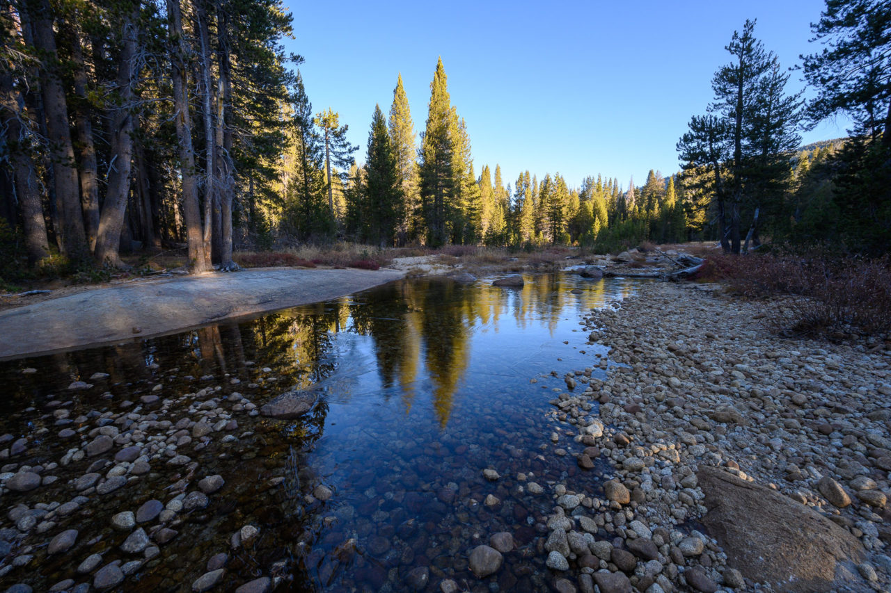
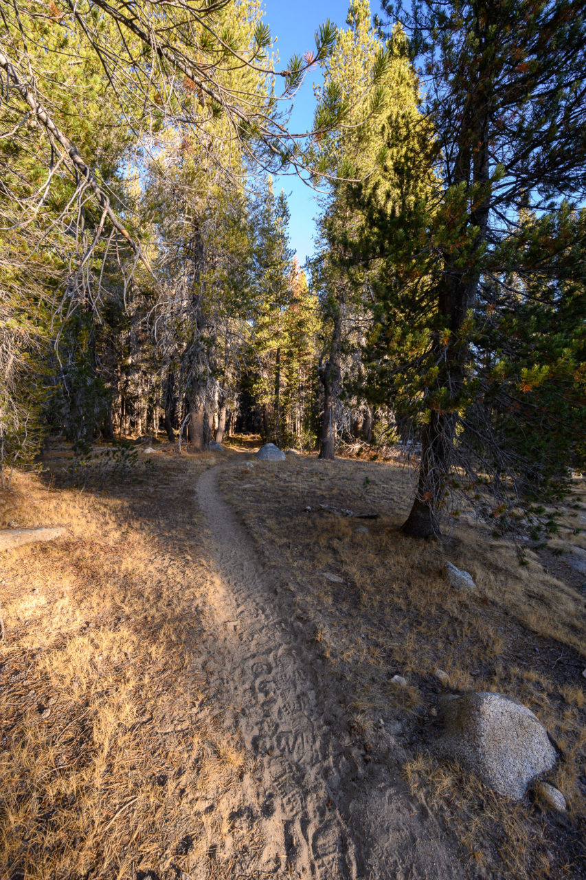
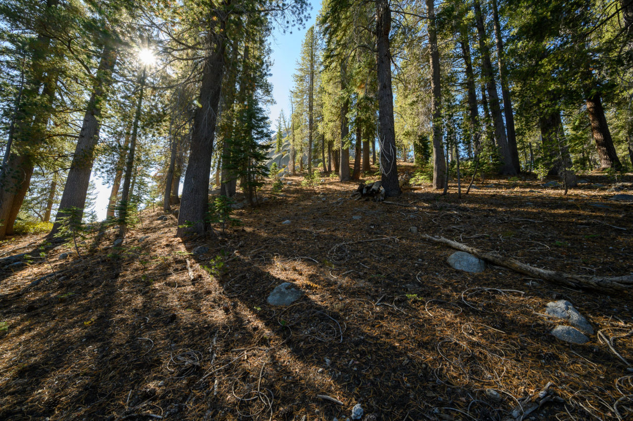
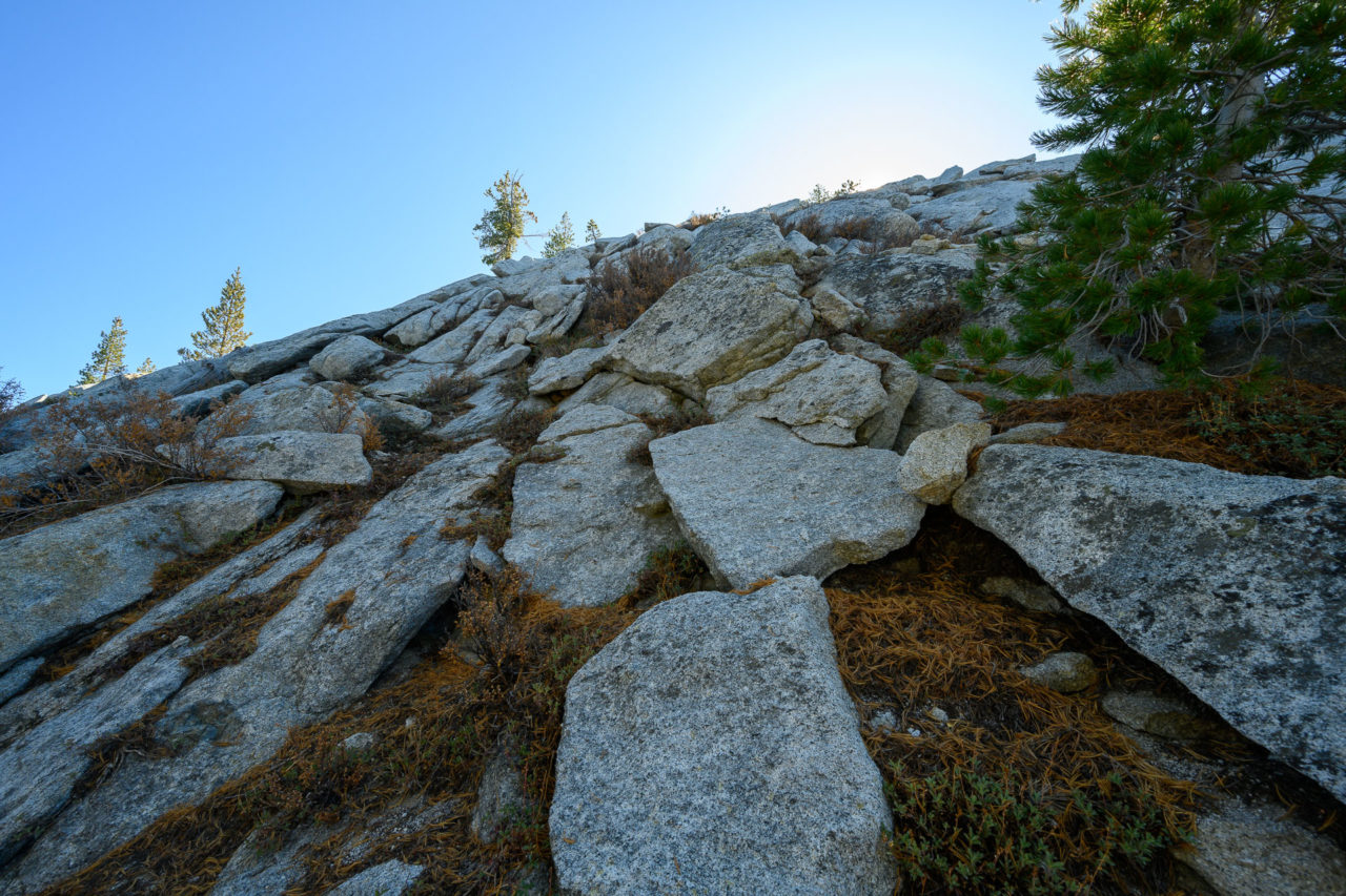
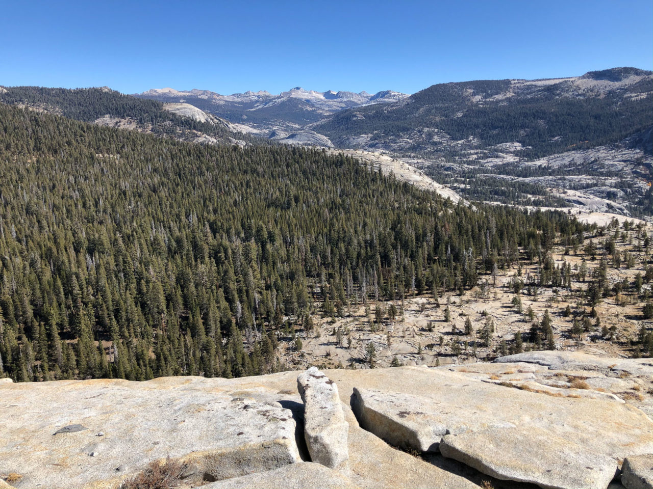
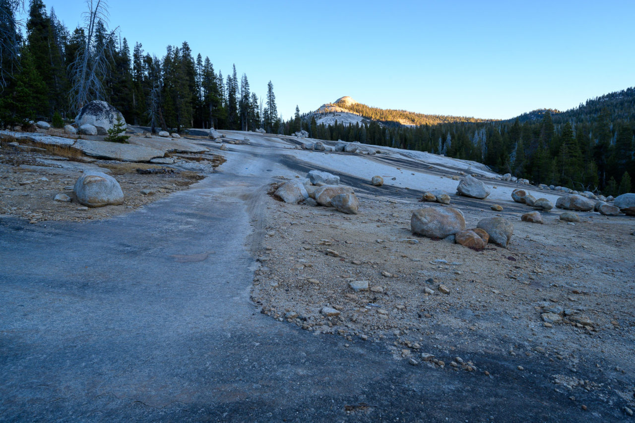
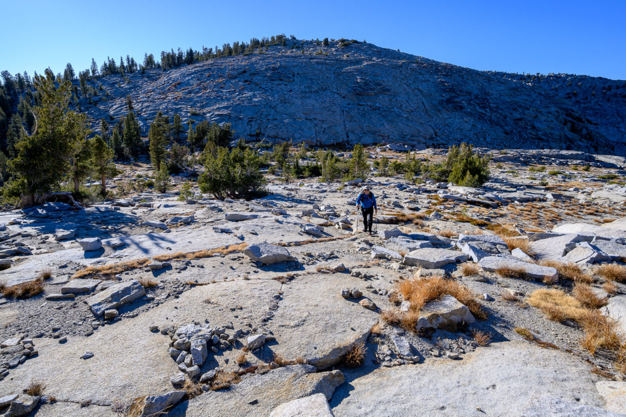
We continued down the trail until we crossed Post Corral Creek. The creek had started to freeze, but there was still enough flowing water to fill up our water bottles. We continued on the trail, mostly through forest, until we reached Voyager Dome. A short Class 3 scramble up the north side led to the summit. There were nice views of the peaks surrounding Courtright Reservoir, and we could see most of the route we had taken over the long weekend. We made our way down Voyager Dome, then a little over a mile back to the cars. I made a brief trip to climb nearby Power Dome before starting the drive home.