12.6 Miles, 3100 Gain
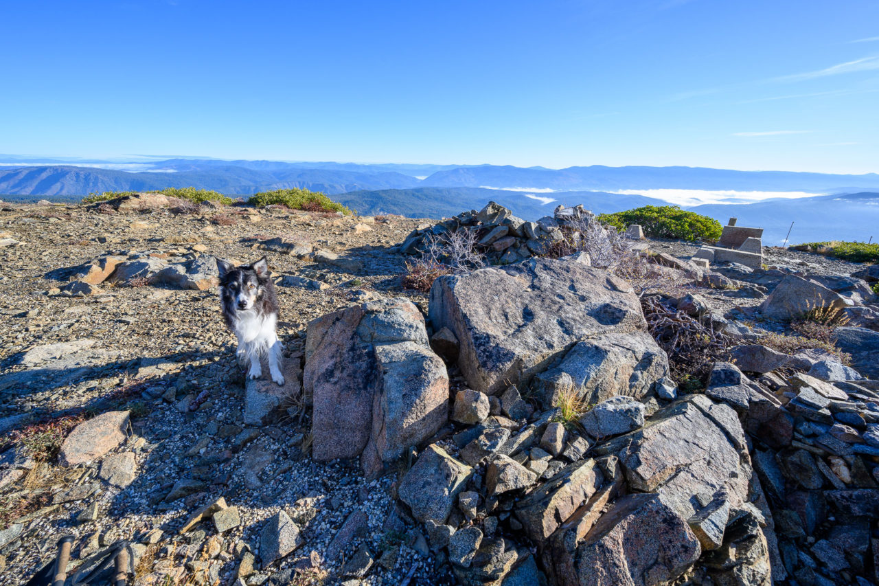
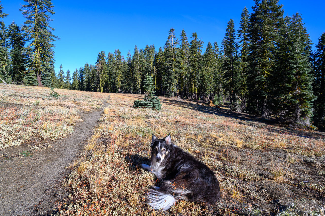
Bald Eagle Mountain is a P2K located in the Bucks Lake Wilderness. A 4WD road leads to the summit, hardly a full day activity, so I planned to visit two other named peaks in the area in the morning, then drive the road to Bald Eagle Mountain in the afternoon. From what I had read online, the road to Bald Eagle Mountain was pretty rough, and I was anticipating needing to hike at least part of the road to the summit. The peaks I had planned for the morning were Spanish Peak and Mount Pleasant, which are most easily reached from Silver Lake. I drove up the night before with my dog, Toby, and slept near the trailhead.
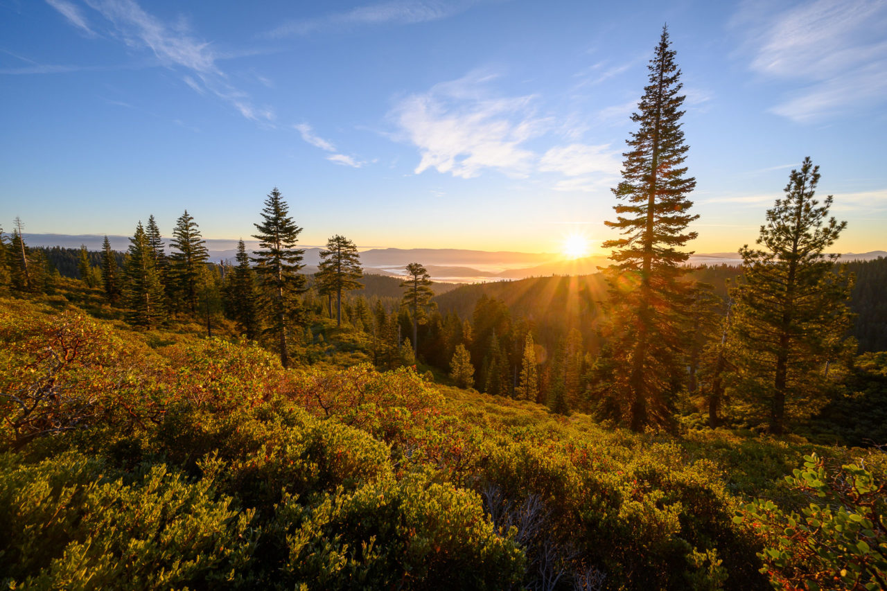
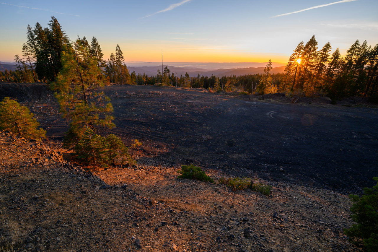
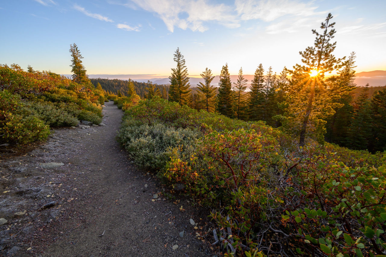
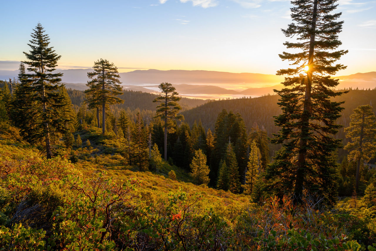
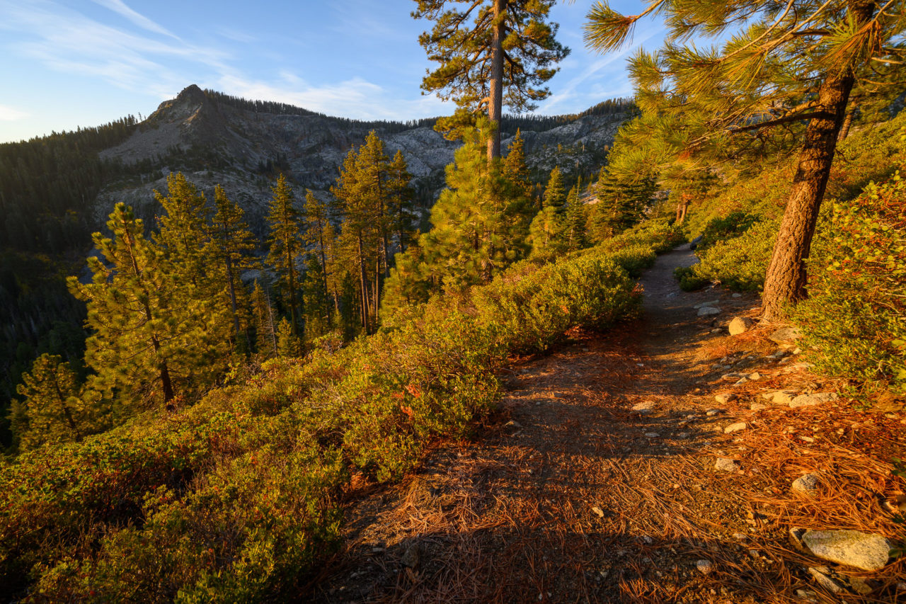
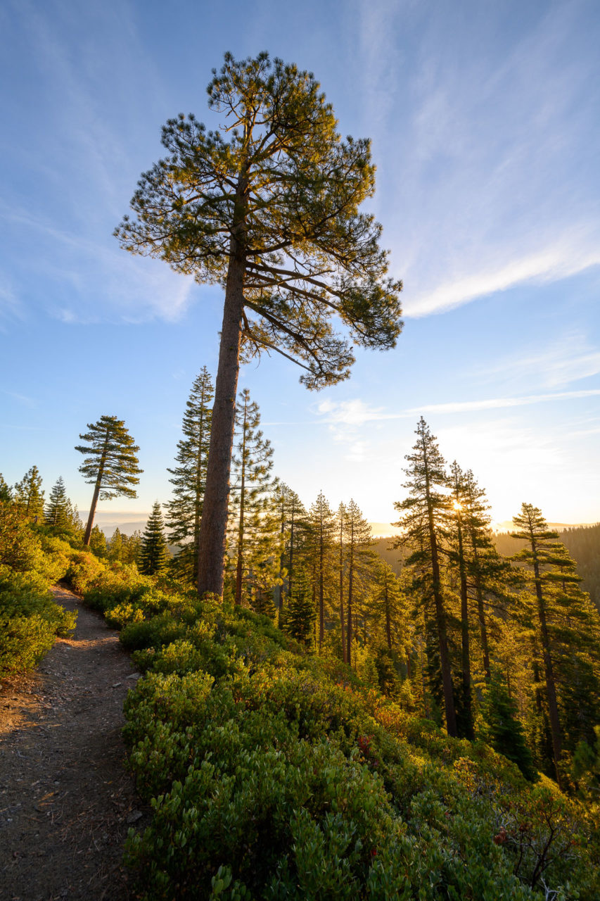
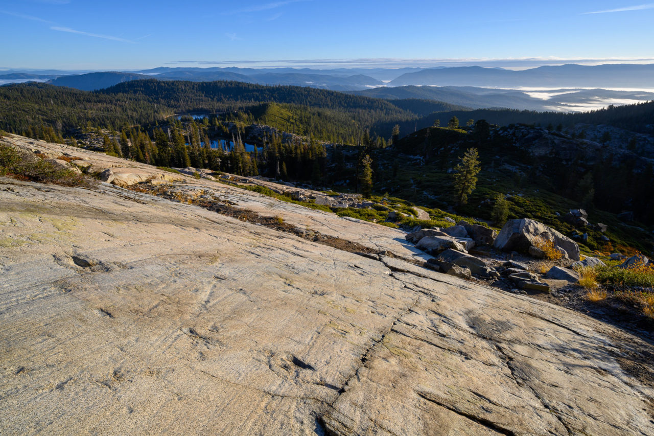
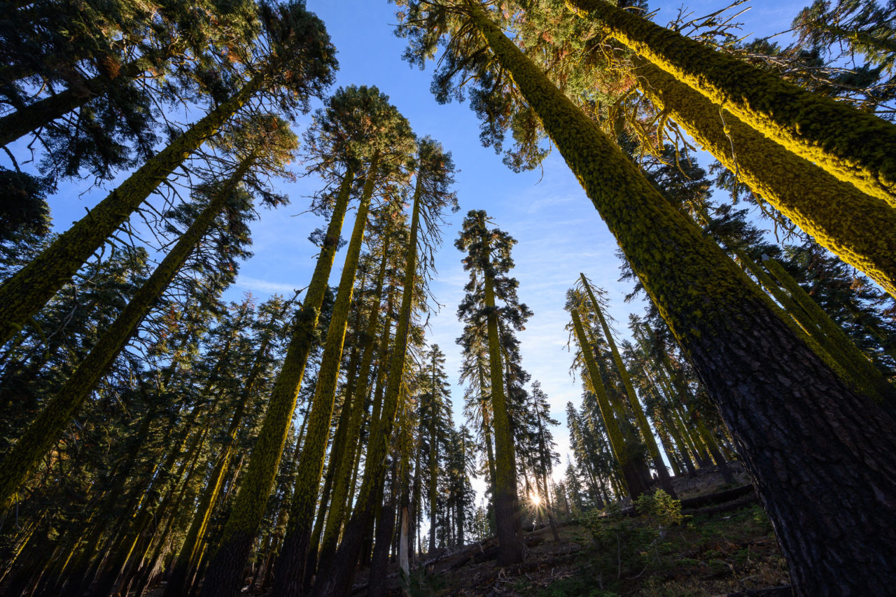
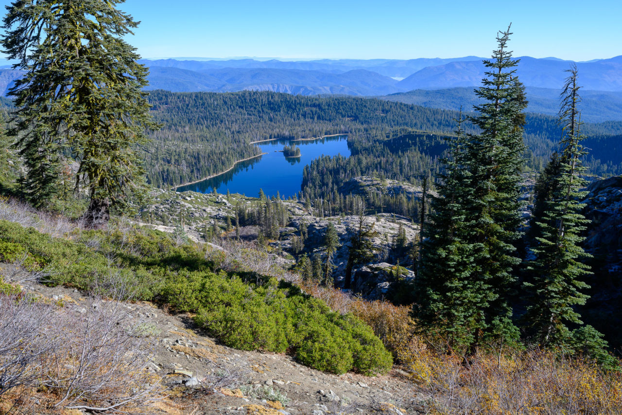
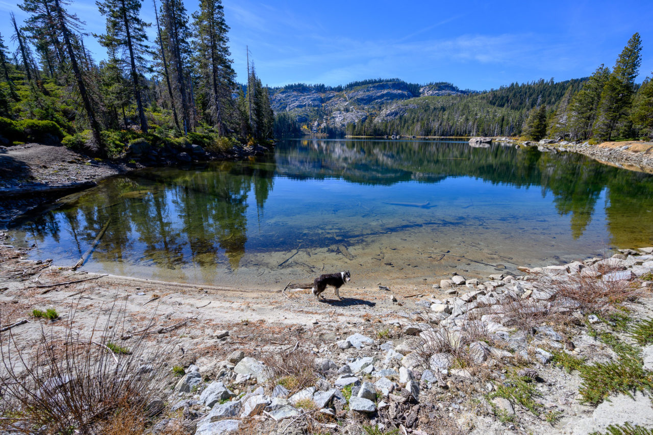
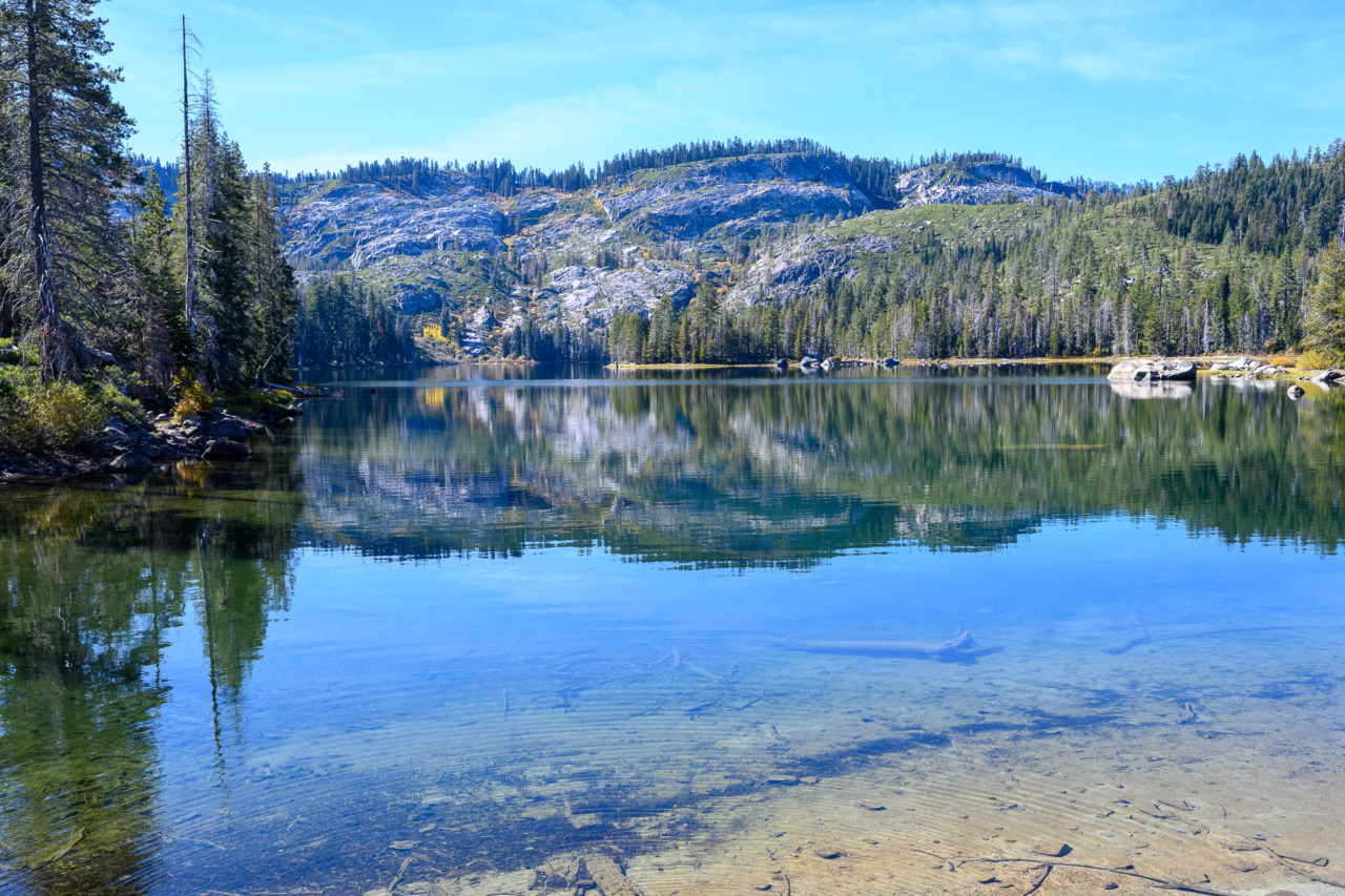
In the morning I made my way up the first hill above Silver Lake and found a nice spot to watch the sunrise. There was a layer of fog that had formed over the town of Quincy, adding to the picturesque scene as the sun started to rise. After enjoying the sunrise I continued up the trail to Granite Gap, where the trail joins the PCT. I first visited Spanish Peak, which was a little over a mile to the east. There were nice sweeping views from the summit, with the Sierra Buttes visible in the distance to the south and Mount Lassen visible in the distance to the north.
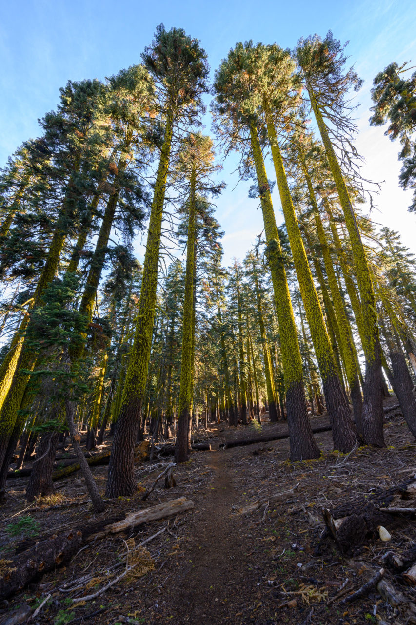
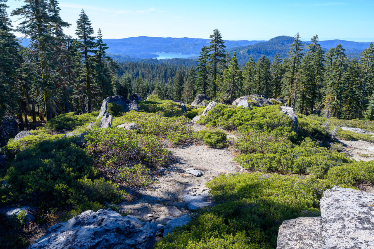
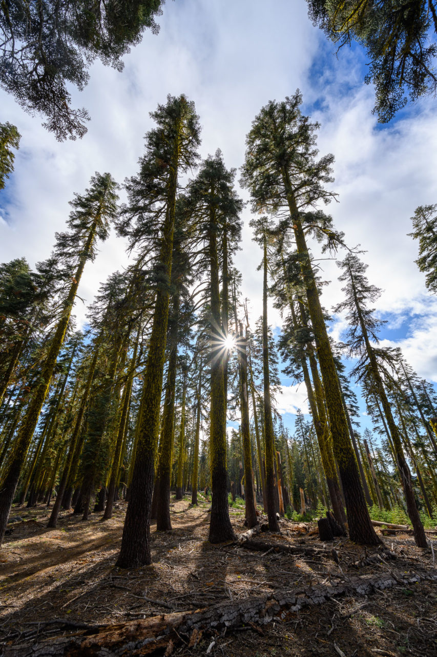
From the summit I retraced my steps to Granite Gap, enjoying the mostly level trail through sections of old growth forest. Along the way I passed several groups of hunters, one of them warning me they had just seen a large bear ahead of me on the trail. I made some noise as I kept hiking, but never saw the bear. From Granite Gap I continued north on the PCT another 2.5 miles to the summit of Mount Pleasant. There were nice views from the summit, with views down the 5000ft deep canyon containing the North Fork of the Feather River just a few miles to the north. I made a brief detour to the east to climb a competing highpoint, but found it to be significantly shorter. From the false summit, I dropped down an open forested slope to rejoin the PCT. I made my way back to Granite Gap, then down to Silver Lake, returning to the car by mid-afternoon.
2.2 Miles, 400 Gain
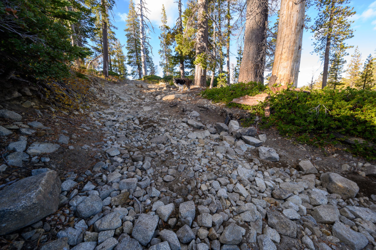
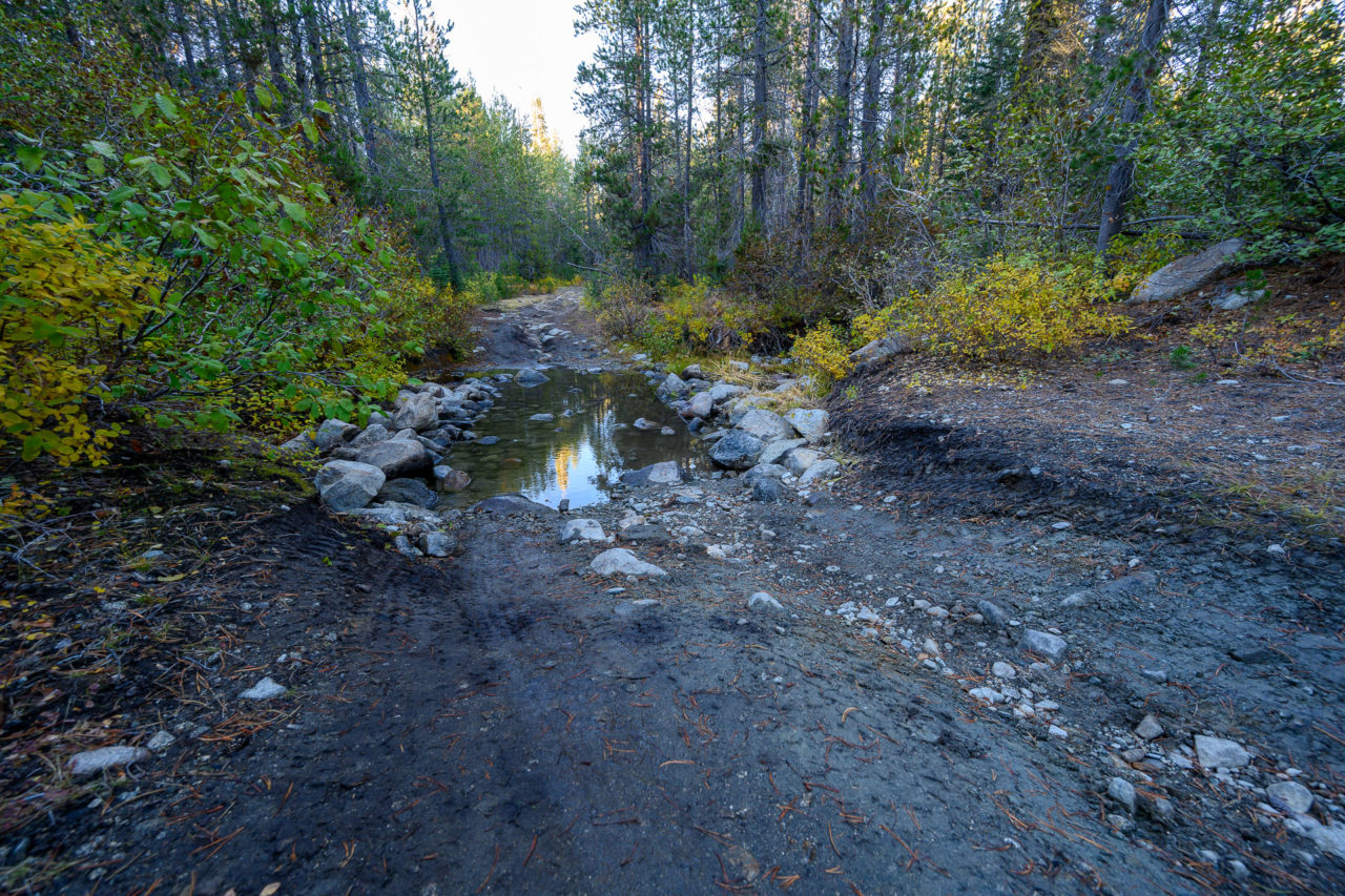
The road to Bald Eagle Mountain starts near Bucks Lake. The initial portion of the road is paved to several campgrounds located on the west and north side of the lake. Near the junction with Mill Creek Campground the road transitioned to dirt. The road started off in good shape, a little rocky, but easily manageable by high clearance vehicles. I followed my GPS for a few miles up the road, passing several junctions to where it crossed Mill Creek. There were some large boulders in the creek which required careful maneuvering to avoid hitting them. Beyond the creek the road became significantly rougher, with large boulders and deep ruts.
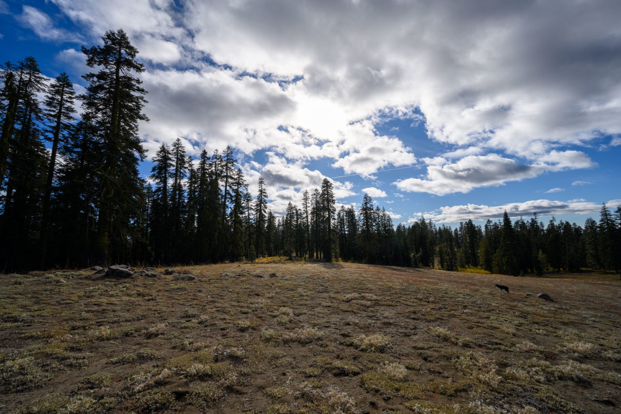
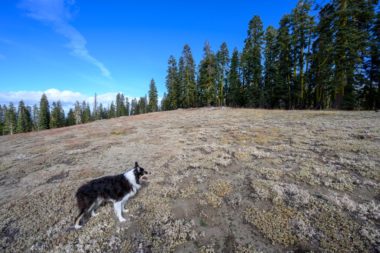
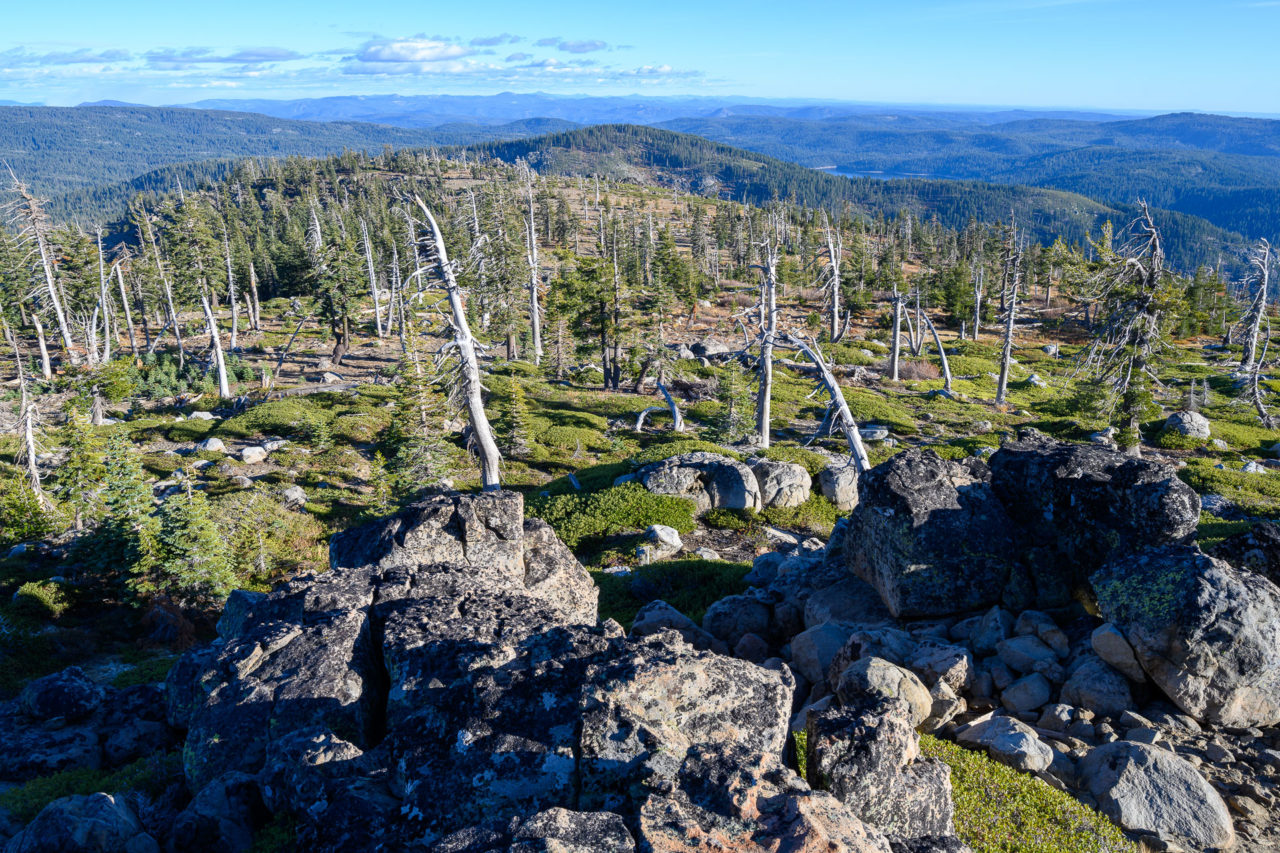
The road passed within a mile of Peak 6979, a ranked peak in the Bucks Lake Wilderness. The road I was on offered the most logical approach, so I decided to visit the peak while I was in the area. I parked off the side of the road and made the short hike to the summit. The route was mostly through old growth forest, with a few open areas along the way. The summit was in a clearing, but the views were mostly blocked by surrounding trees.
2.0 Miles, 450 Gain
After finishing the hike to Peak 6979 I continued up the road to Bald Eagle Mountain. With about a mile left to go to the summit, I came to the roughest section yet. There were several large boulders and a tree root sticking out on the right side of the road. There was evidence that other cars had scraped bottom in this section. From what I could see, the difficulties looked to continue around the next bend. I started up this section, but when my back tires started to lose traction getting over one of the larger boulders, I decided it wasn’t worth risking damage to my vehicle. I backed down and parked just below the difficult section.
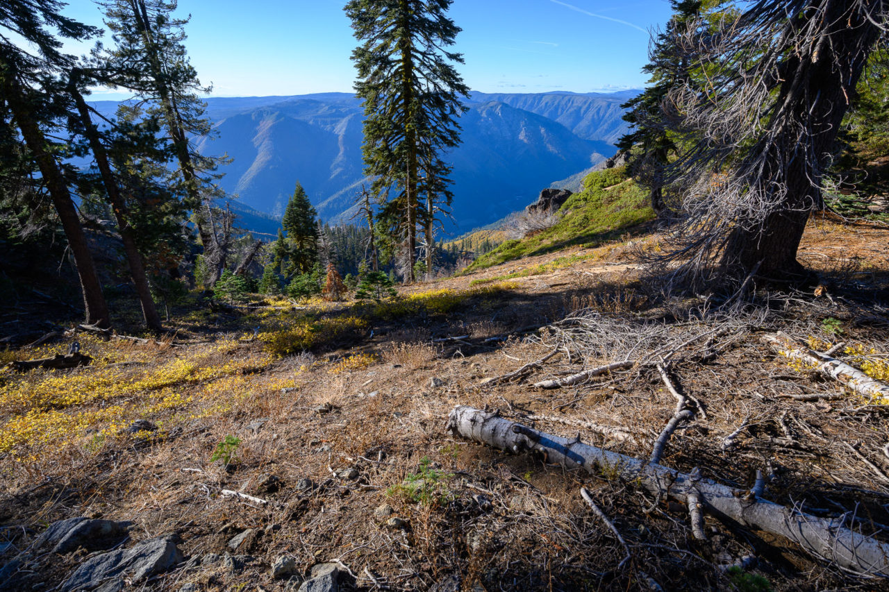
I continued on foot, finding the difficult section ended about a quarter mile up the hill. After that, the road improved, and I was soon at the summit. The hillside near the summit had burned at some point in the recent past, leaving open views toward the North Fork of the Feather River. I signed into the register, then retraced my steps back to car.