Area:
Toiyabe National Forest
1.0 Miles, 350 Gain
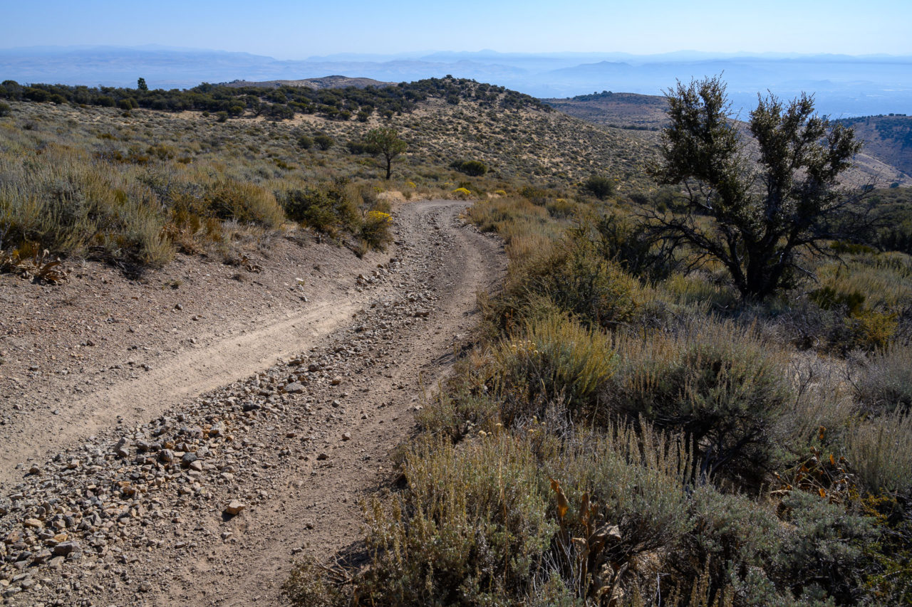
I had spent the previous three days hiking in Central Nevada. The final day of the trip was mainly spent driving, but near Reno I made a detour to visit Peavine Peak and several other minor peaks in the area. To reach East Point I took Peavine Road for several miles then turned briefly onto FS-649 before parking on a bluff overlooking the point. I walked down a steep and rough section of road for roughly a half mile before reaching East Point.
0.2 Miles, 50 Gain
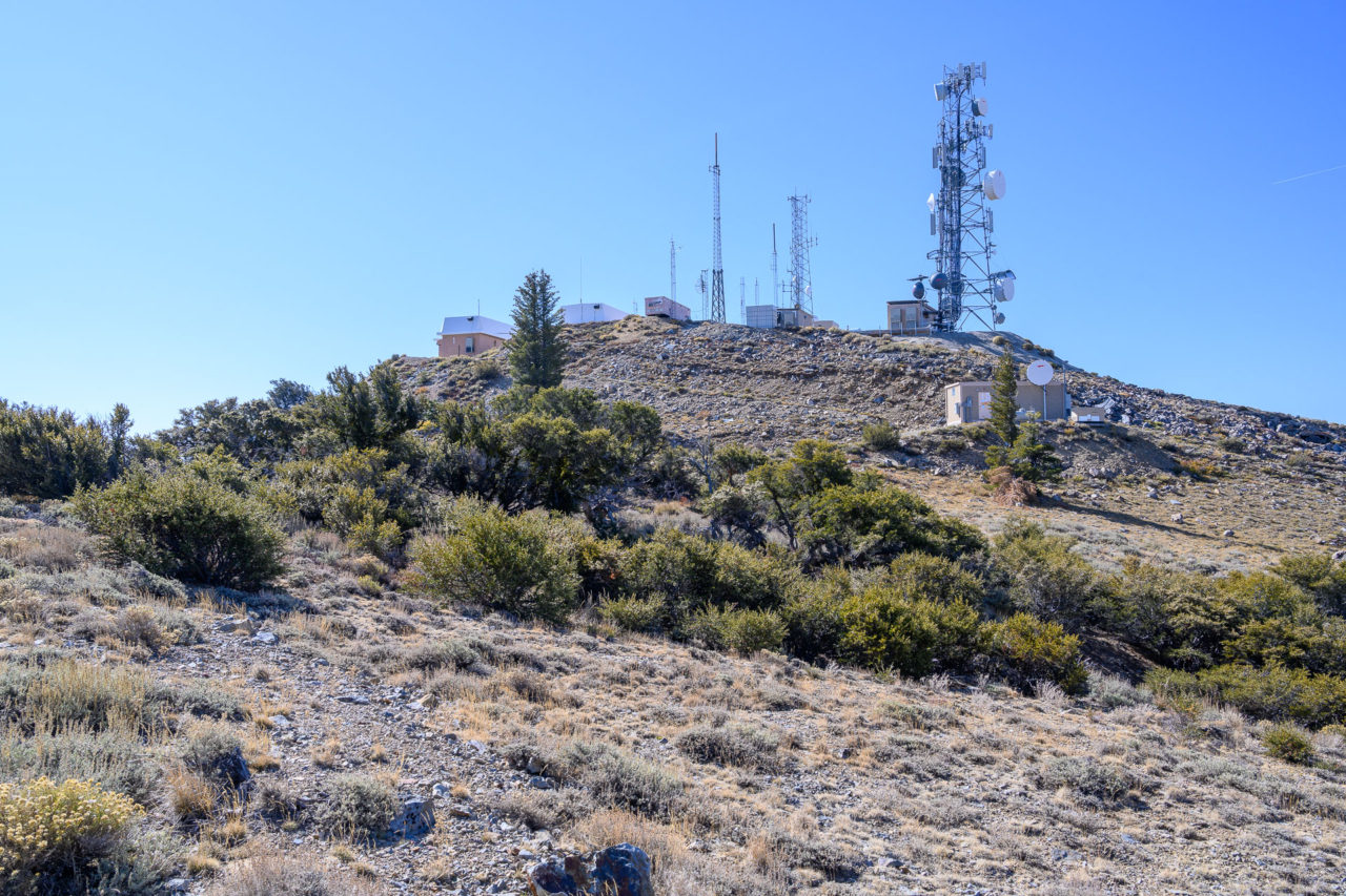
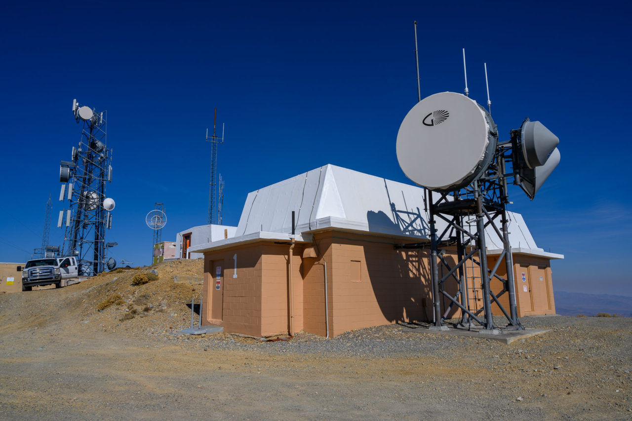
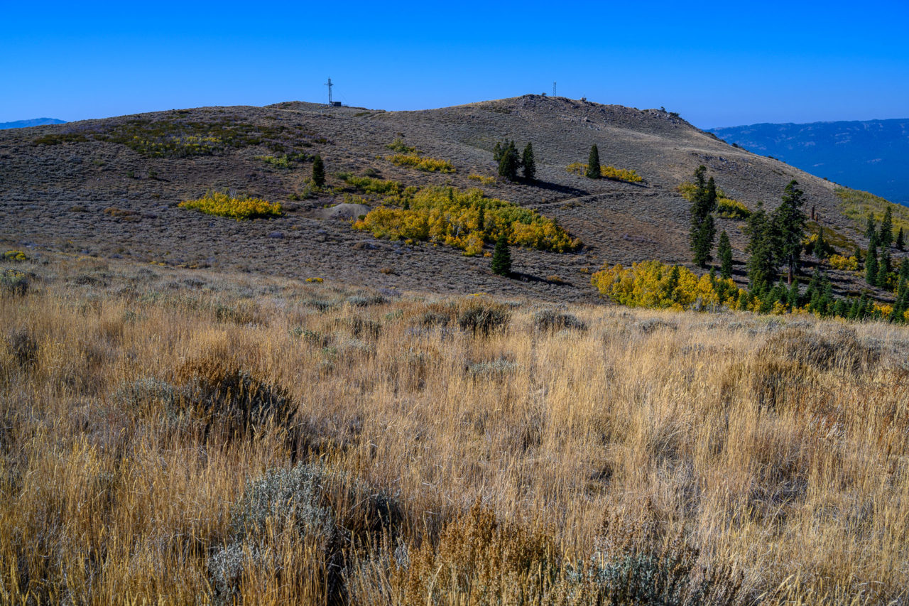
Before continuing on to Peavine Peak I made a brief stop at nearby South Mountain. A road travels nearly to the summit. A short walk led to the highpoint near a collection of communication towers.
0.5 Miles, 100 Gain
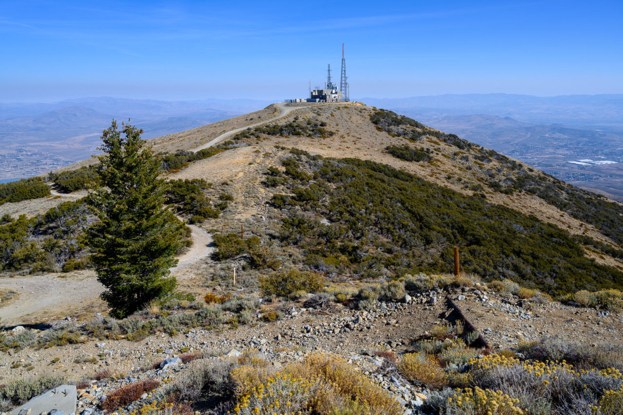
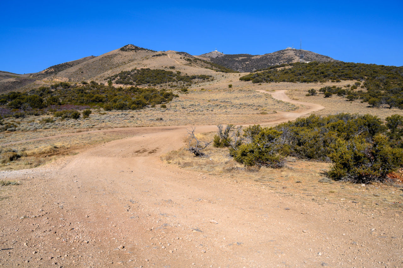
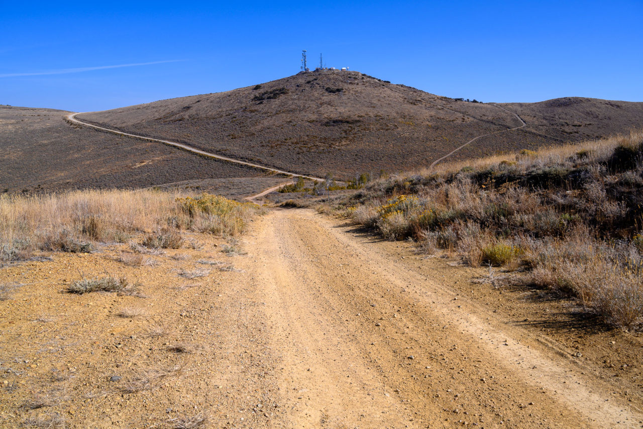
I parked on the north side of Peavine Peak in a small pullout, then followed an access road to the summit. There was a group working on one of the communication towers, but they didn’t seem to mind me walking over to the highpoint. From the summit there were good views out to the Reno area and some of the higher peaks on the north side of Lake Tahoe.