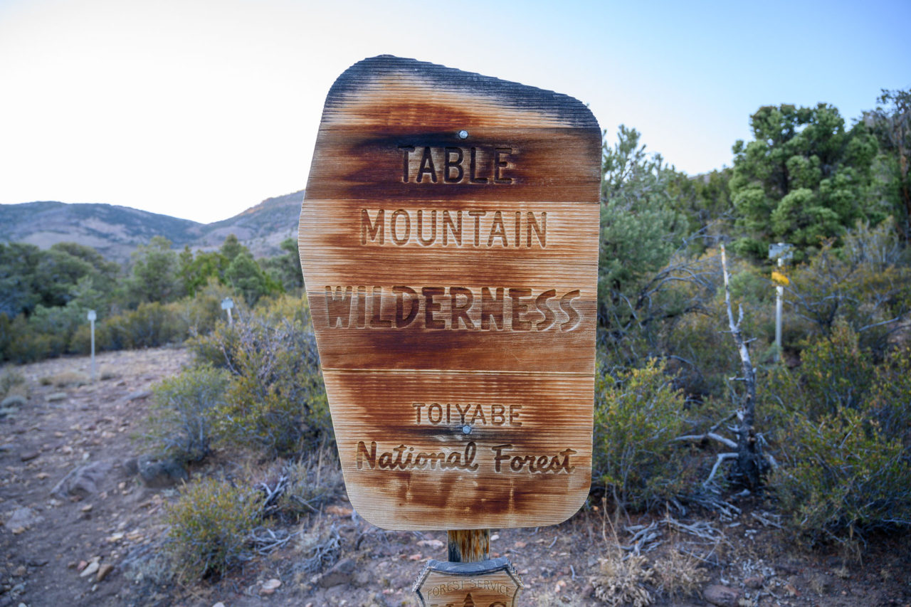
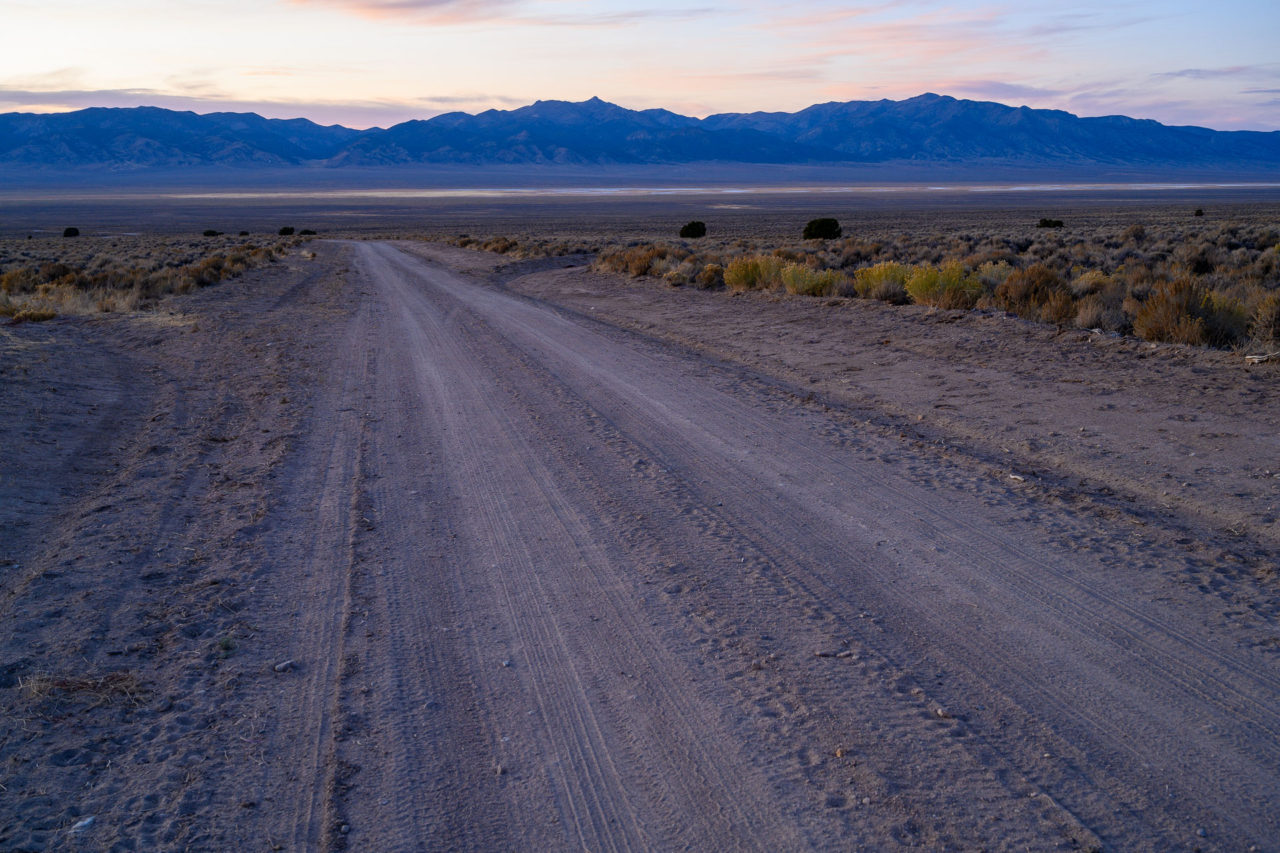
Table Mountain, highpoint of the Table Mountain Wilderness, is a remote P3K lying in central Nevada. Getting to the trailhead is an adventure in itself, requiring close to 150 miles of round trip distance from the nearest gas station, roughly half of which is on dirt roads. The approach from the south out of Tonopah requires a mandatory creek crossing, making the approach from the north out of Austin easier and safer for vehicles that might have trouble making the crossing. Late in the season when I crossed the creek it was not deep, but I expect it would be more challenging earlier in the season. Other than the creek crossing, the road was in great shape, drivable at 50+ mph for most of the way. Given the remoteness, I was expecting the trailhead to be deserted when I arrived late in the evening. Instead I found six cars and a large group camped in the trailhead parking lot, with several more groups camped a quarter mile down the road. Surprised at the areas popularity, I drove back down the road a half mile finding a nice campsite near Morgan Creek where I spent the night.
The next morning I drove back to the trailhead, taking one of the last available spots in the small parking area. In addition to Table Mountain, I was planning to extend the hike by doing a loop to visit two other P1Ks in the area, Peak 10260 and Tulle Mountain. The trailhead I started from would allow me to use the Table Mountain trail in morning and the Morgan Basin trail in the afternoon, with some cross country in the middle to connect the two. There were two other peaks along the route, Peak 9670 and Peak 10465, that I chose to include as bonus peaks.
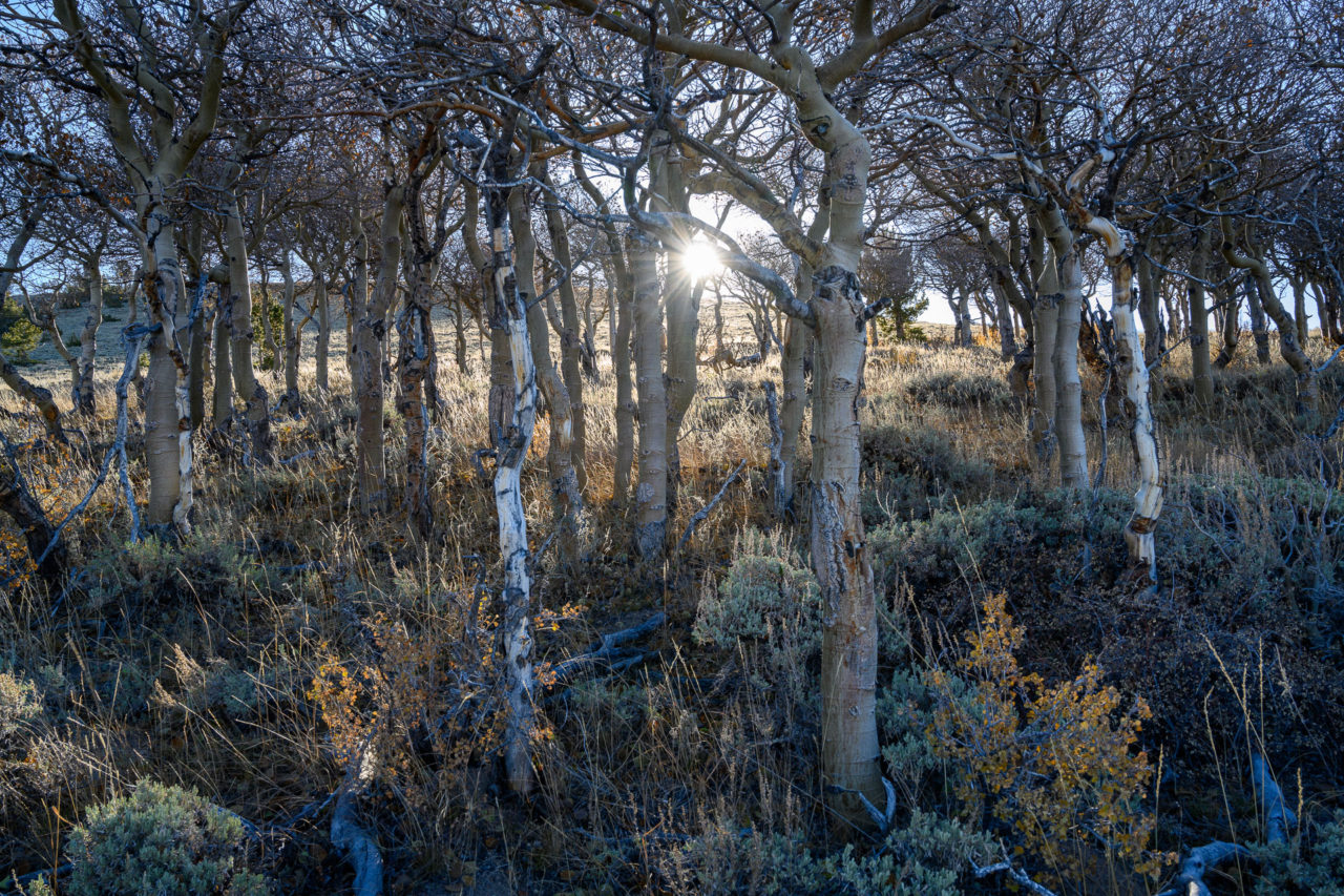
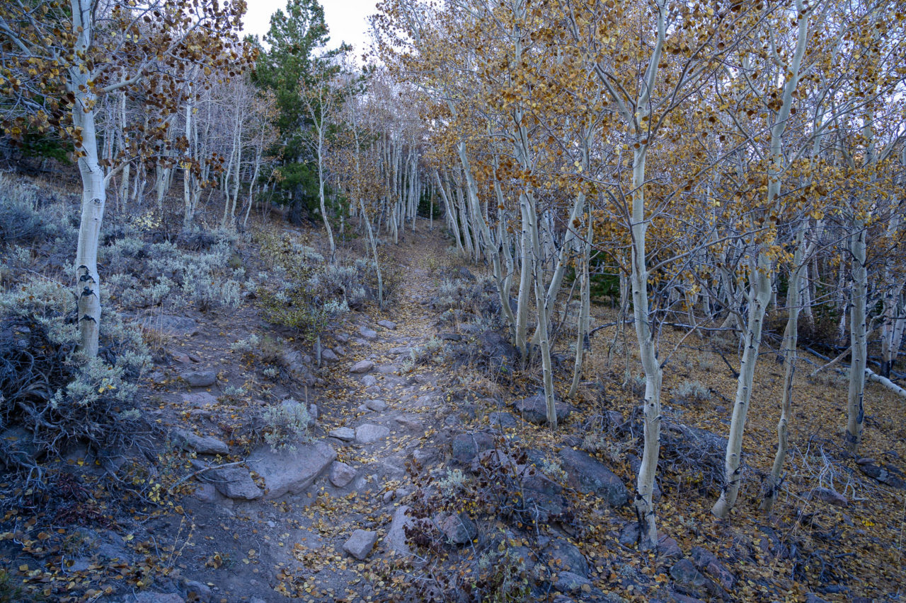
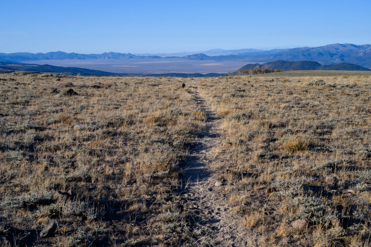
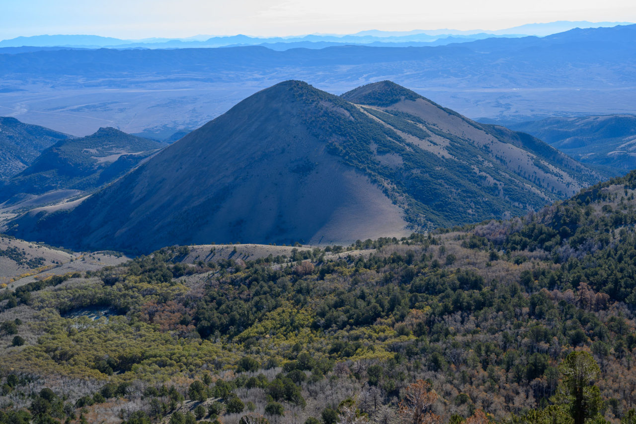
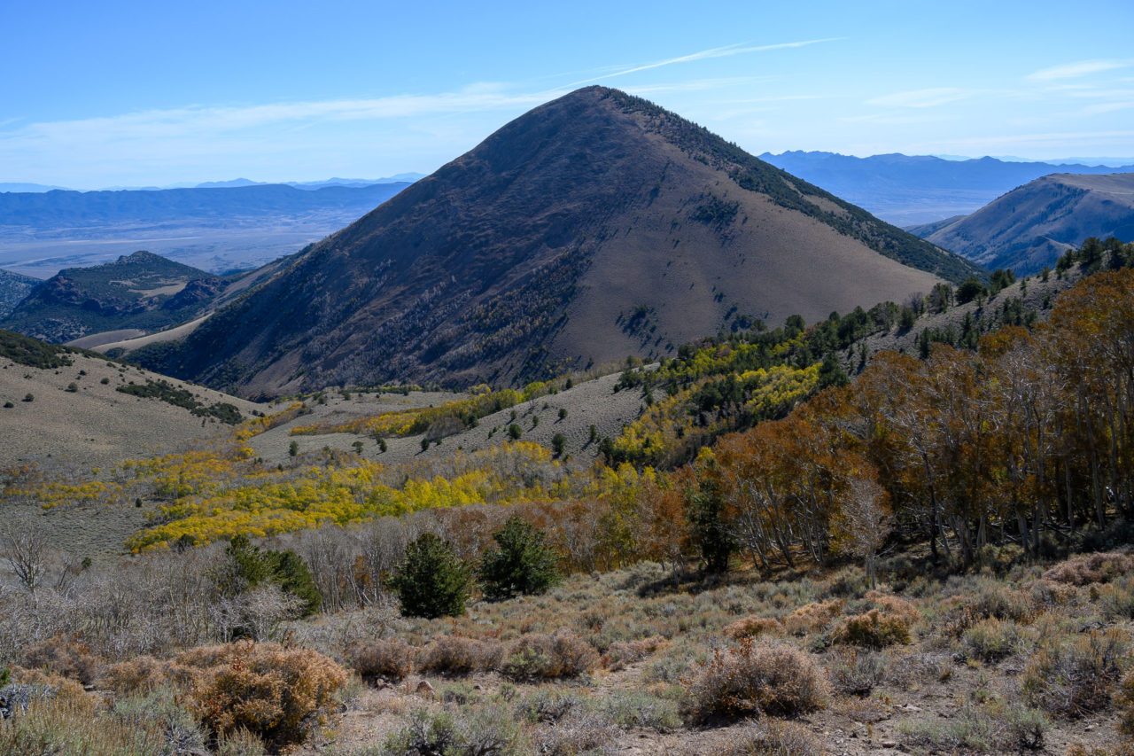
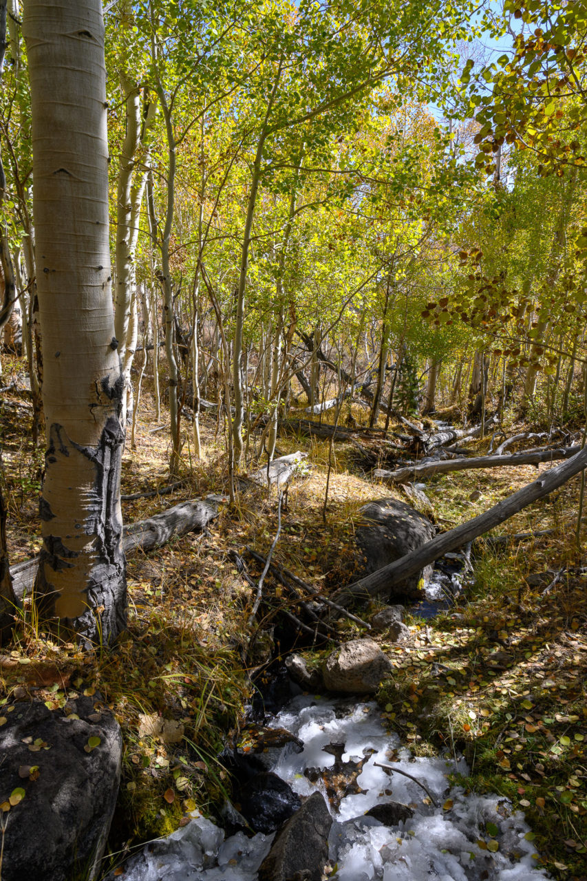
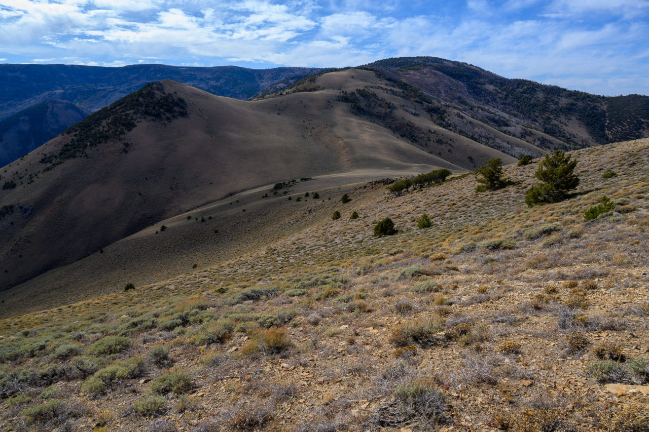
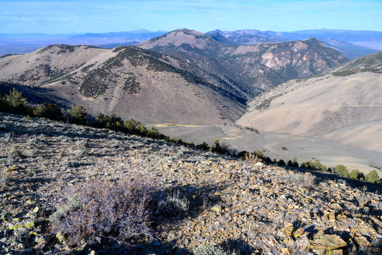
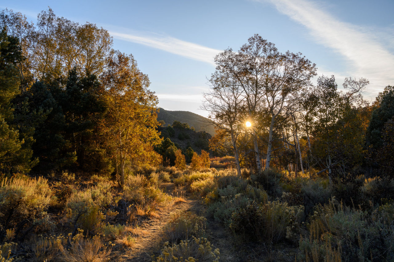
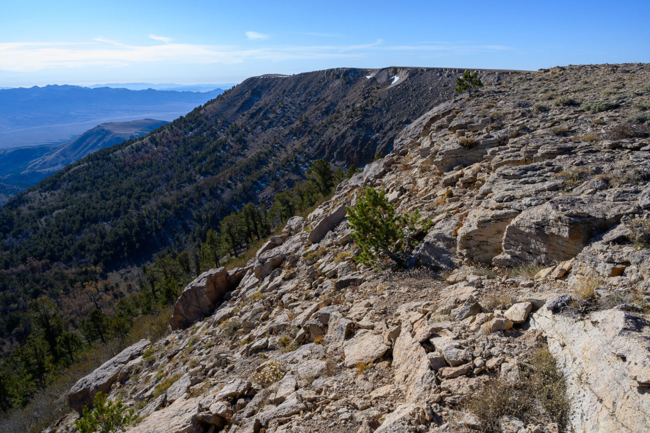
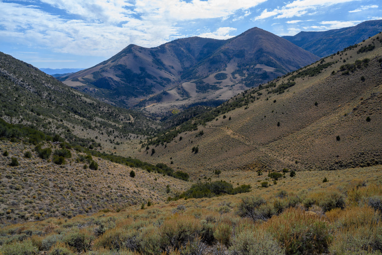
Starting up the trail, I quickly reached the wilderness boundary where the trail transitioned from an old road to single track. The trail was nicely maintained as it made short switchbacks through a grove of aspens on the north side of Table Mountain. After roughly two miles the trail crested the plateau, with expansive views extending to the south. I left the trail at this point heading east towards the ridge leading to Table Mountain. Once on the ridge I crossed several high points before eventually reaching the summit of Table Mountain. There was a large cairn built at the summit, with a register that had been placed earlier that year.
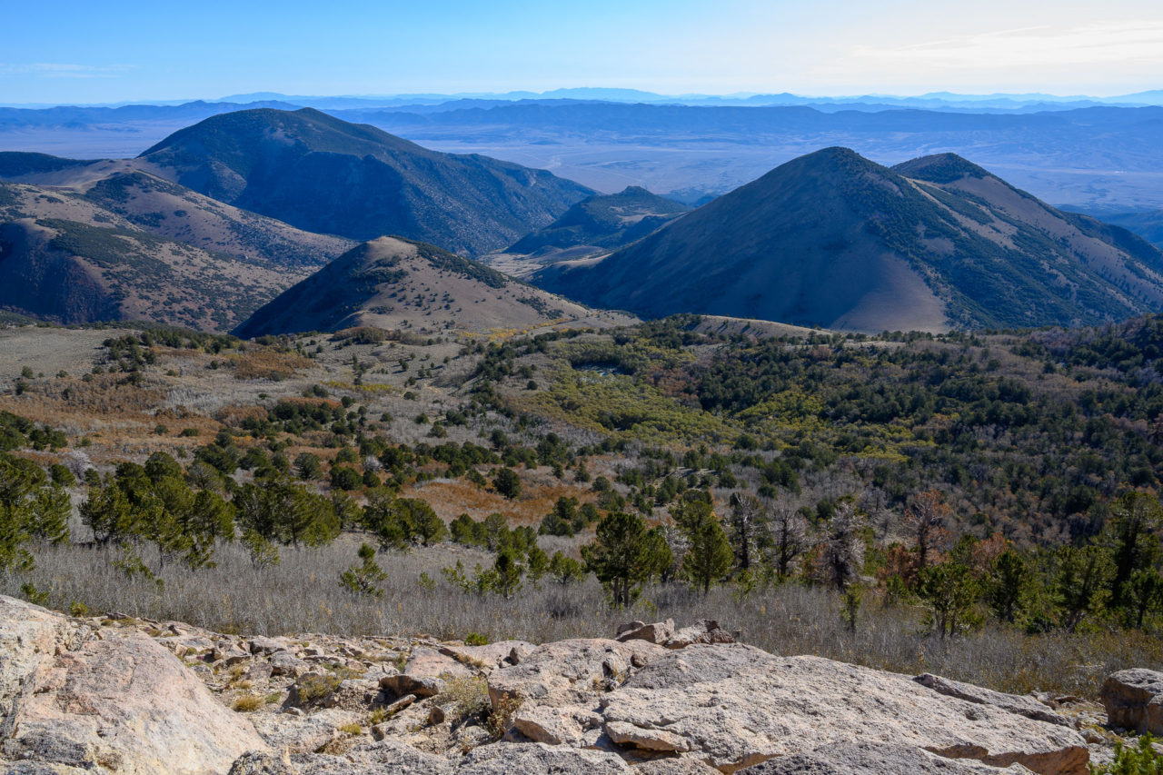
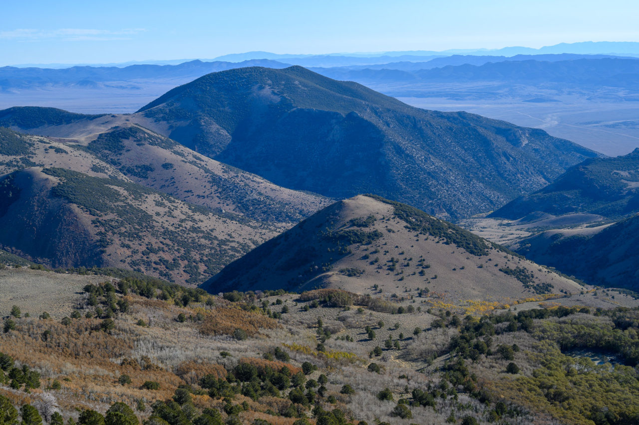
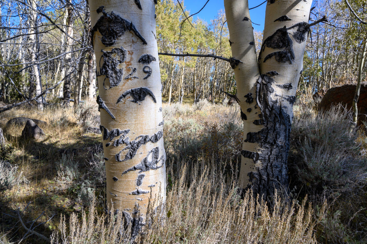
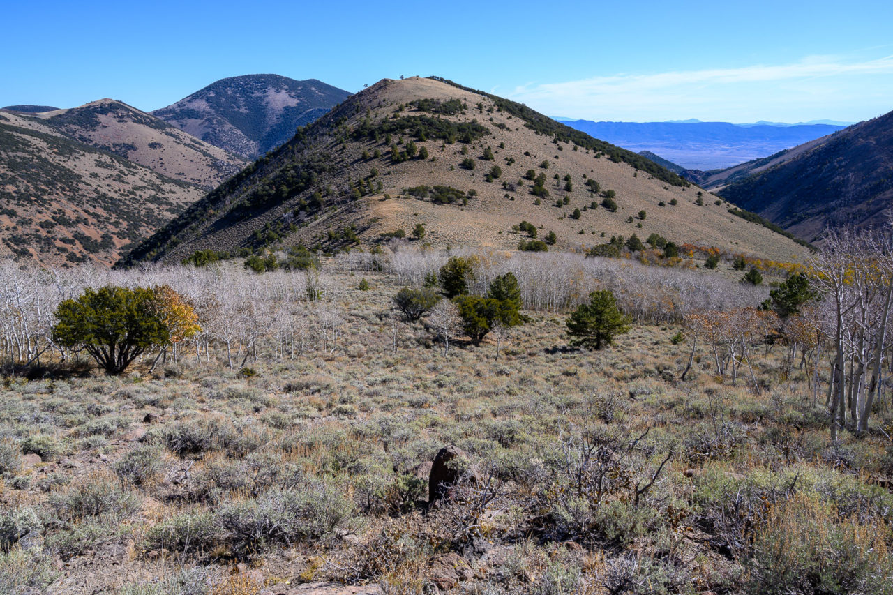
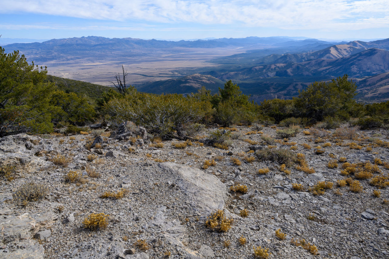
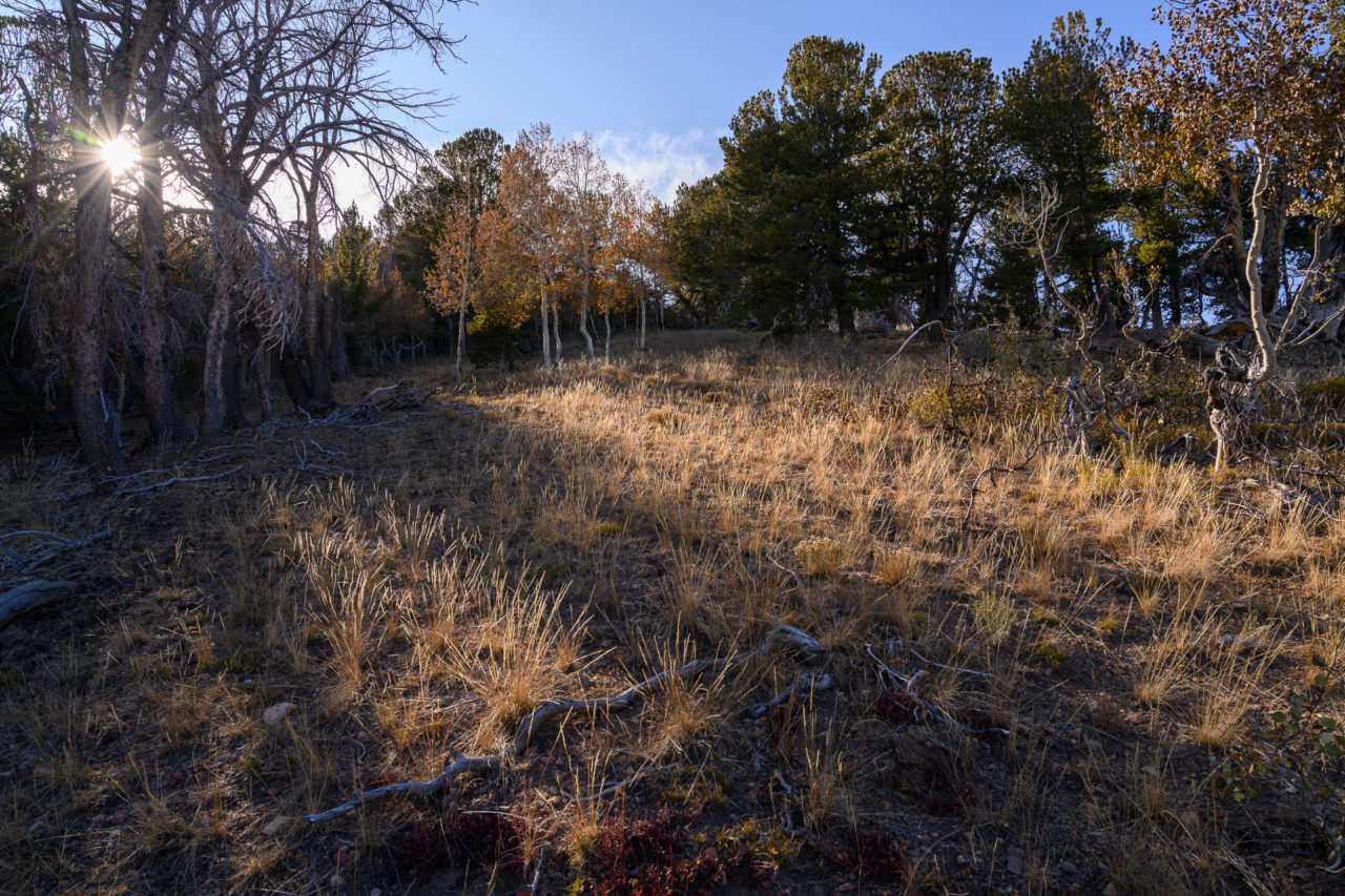
After enjoying the view from the summit, I made my way steeply down through open forest to Clear Lake which is perched on a terrace roughly 1,000 ft below the summit of Table Mountain. I found a carving from 1929 in a tree near the lake, but other than that the lake appears to be rarely visited. There is a trail shown on the forest service topo map that leads to Clear Lake, but that seems to have been reclaimed by nature. Still, the forest remained open and I had no trouble continuing down the slope to the saddle with Peak 9670. From the saddle, it was a short climb to summit, where I had a good view of the remaining route.
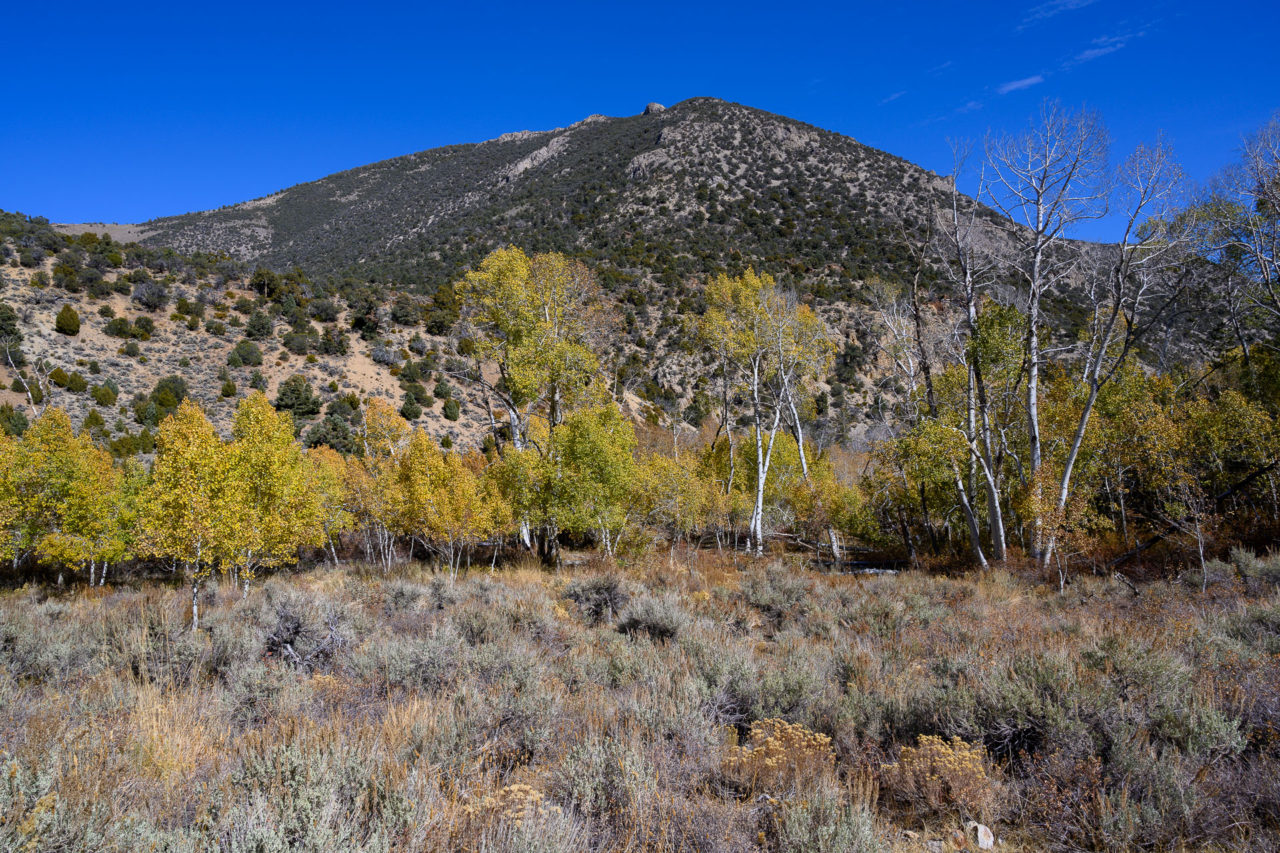
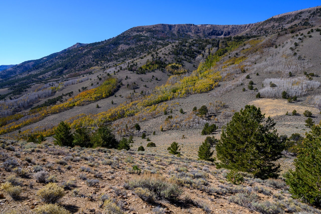
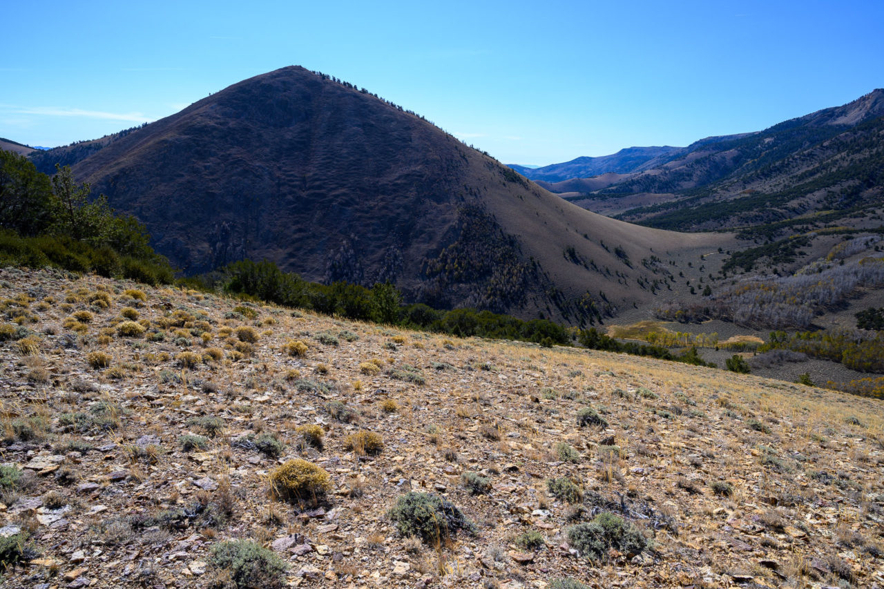
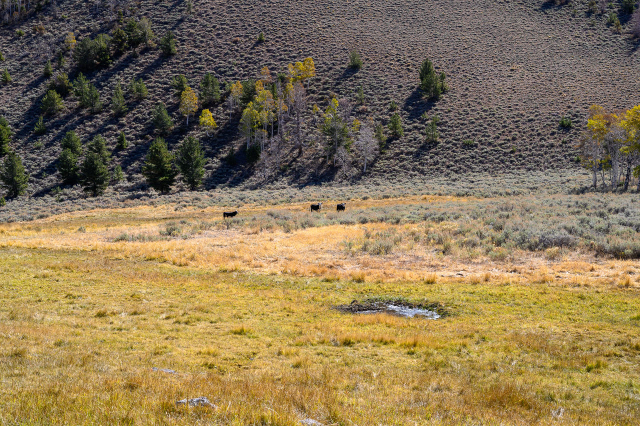
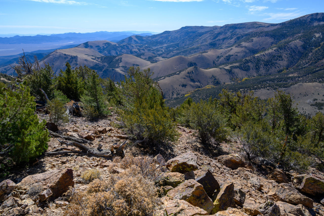
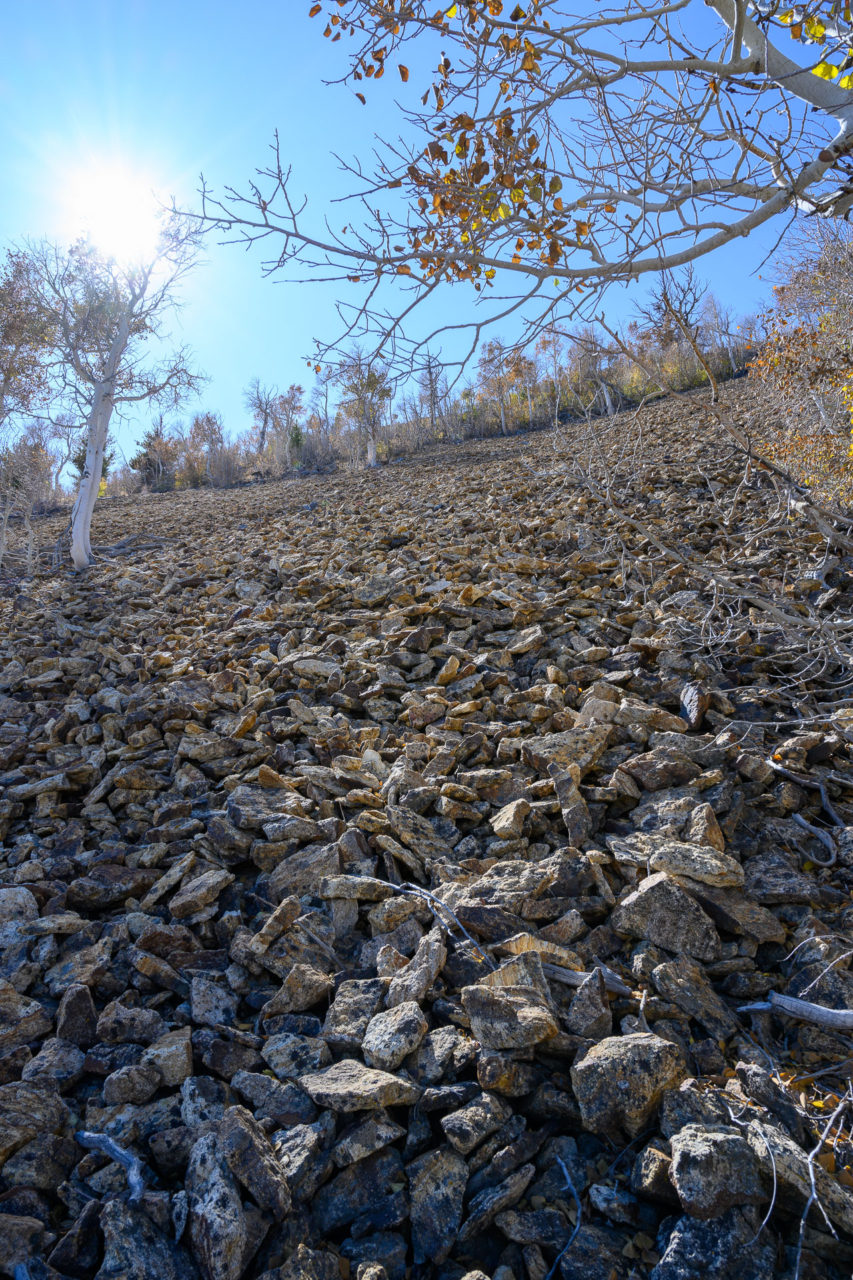
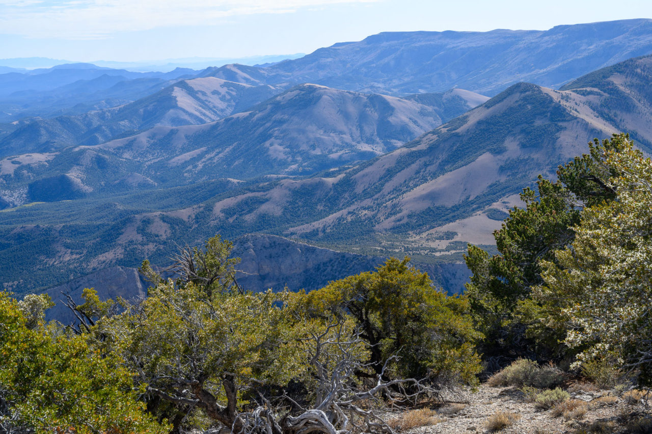
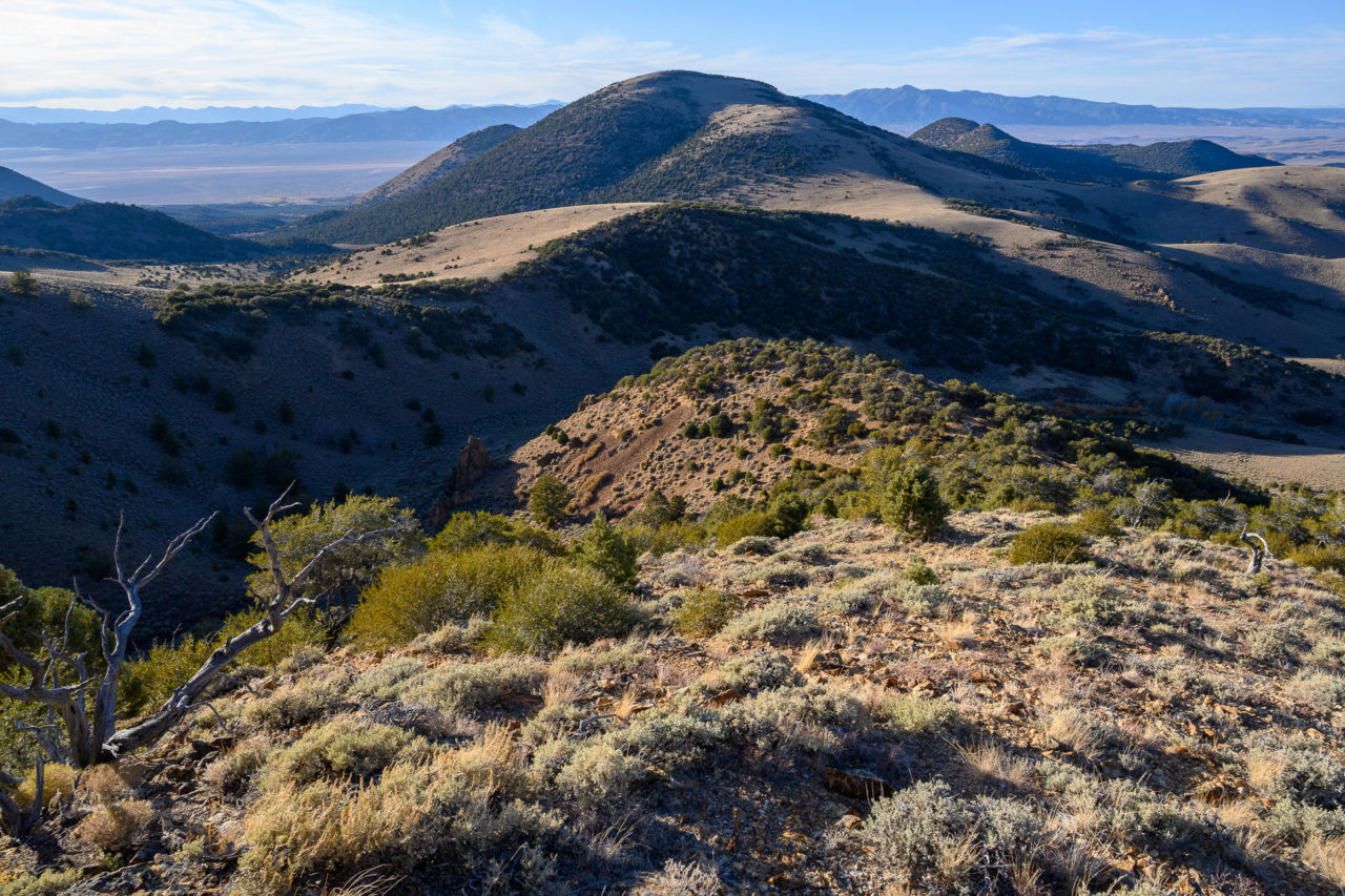
I dropped south toward an open slope leading to a meadow below Peak 10260. A few cows grazing in the meadow eyed me cautiously before taking off over the ridge into the next basin. Steady uphill climbing brought me to the summit, where I got my first unobstructed view into some of the remote basins on the south side of the peak. The satellite view had made it appear that there might be a grassy slope leading off the north side of the mountain, but instead I found a significant amount of loose rock. After dropping roughly 2000ft on the loose rock I eventually got on a more gradual slope leading down to Clear Creek.
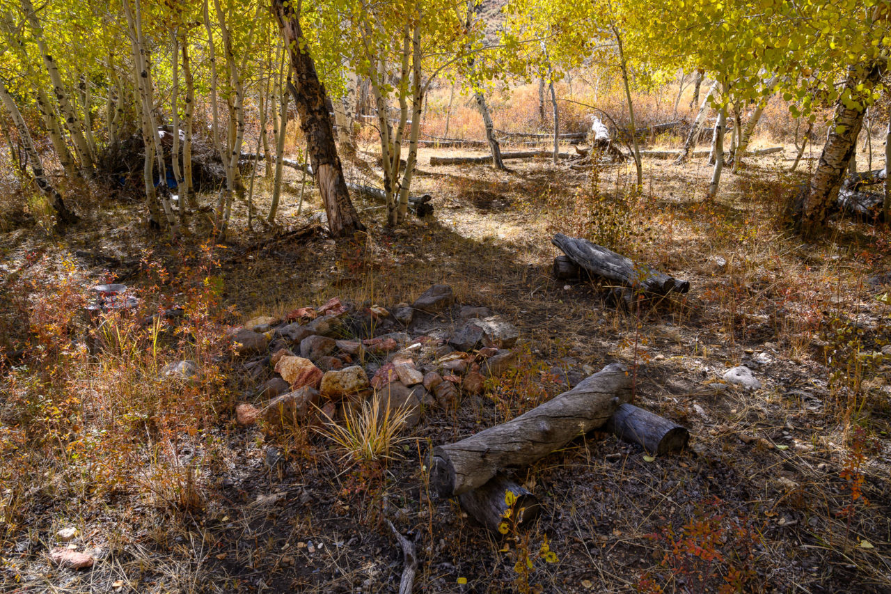
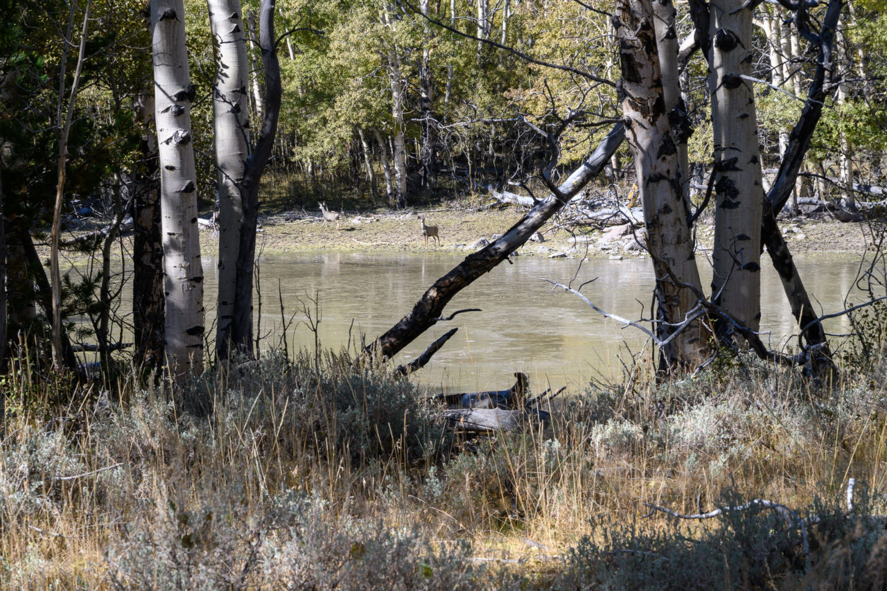
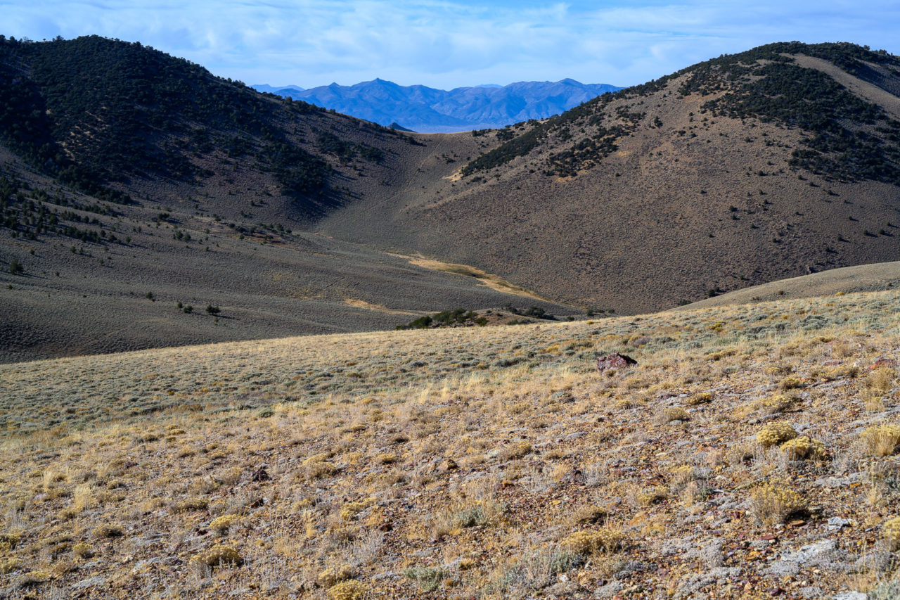
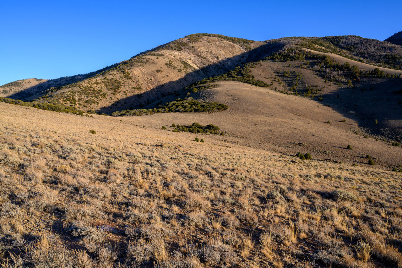
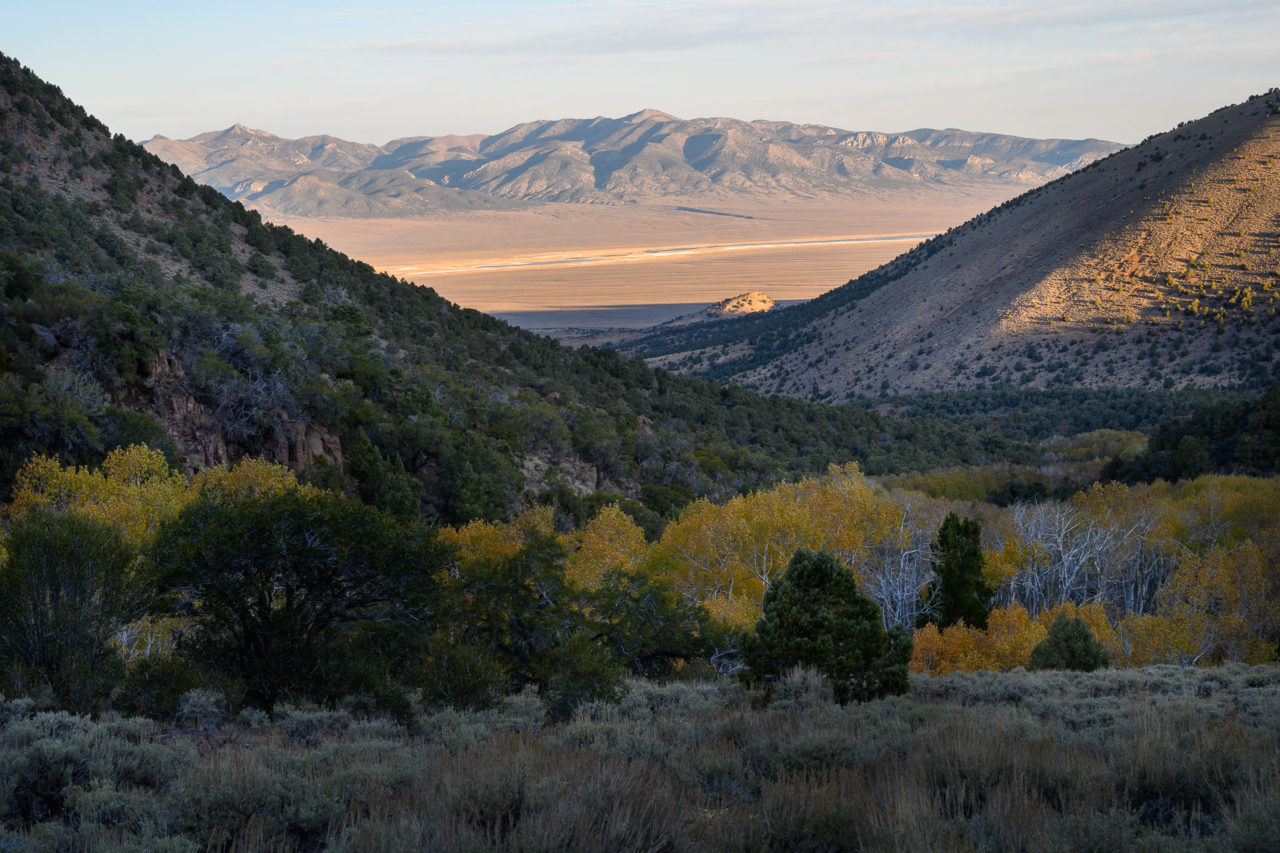
Near the creek I passed an old campsite that looked like it had not been used in many years. There was an old tarp over a large pile of firewood, looking like someone had been planning to return but never did. Crossing the creek, I followed an old road paralleling a side drainage below Tulle Mountain. Near the upper end of the drainage I cut up the hillside, gaining the ridge to the west of Tulle Mountain. There are two highpoints on Tulle Mountain. I visited both, finding they were roughly the same height, with the point further east having better views of Little Fish Lake Valley. I retraced my steps to the saddle, then continued west on the ridge to Peak 10465. There was a small clearing at the summit, but views were mostly blocked by trees.
To complete the loop I planned to drop down the north ridge of Peak 10465 towards the headwaters of Tulle Creek. As I was starting down I saw something ahead in the trees with dark tan fur. At first I thought it was a deer, but as I got closer it had disappeared without making a noise. A short distance further down the hill I noticed cat prints in the dirt, confirming that I had most likely just seen a mountain lion. I continued to spot prints as I made my way down, cautiously looking over my shoulder to make sure the mountain lion wasn’t following me. Near the bottom I met up with a road that led back to the trailhead.