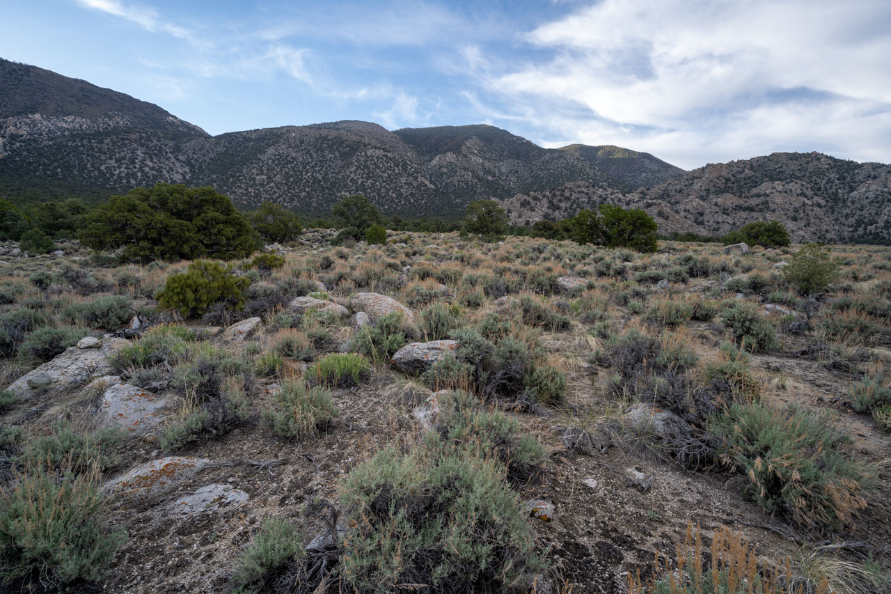
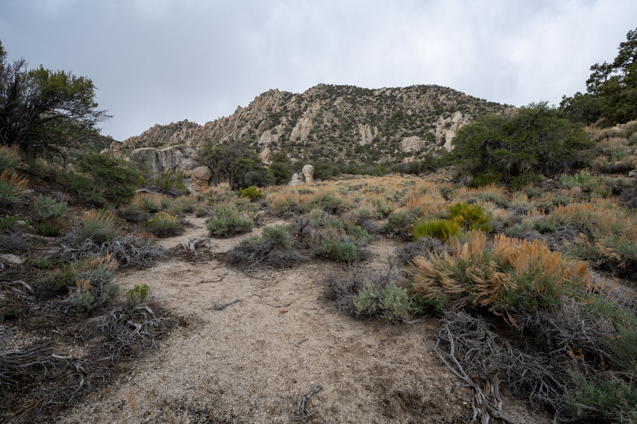
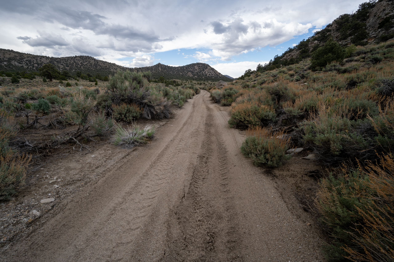
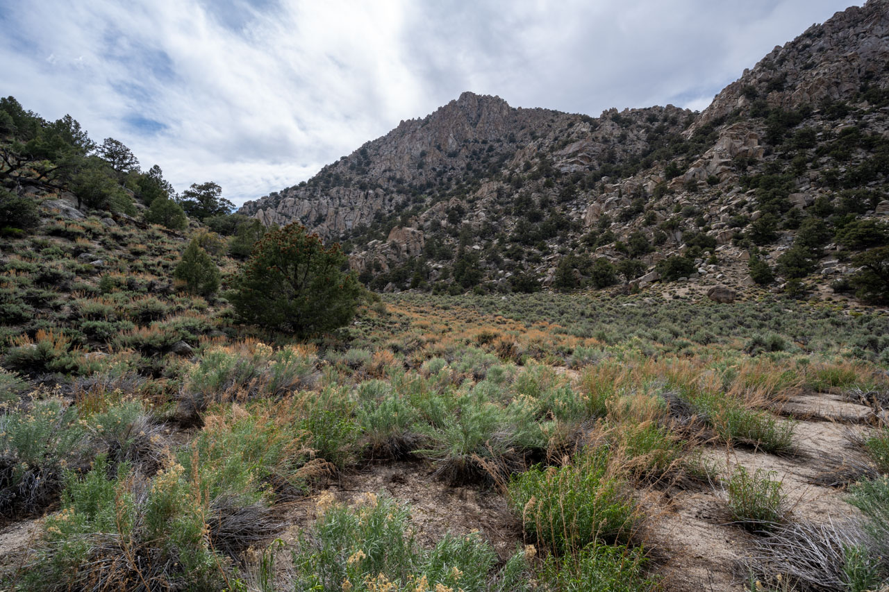
I had driven into Squaw Flat the previous evening on 4WD FS9S14, which comes in from the north off of Death Valley Road. The road climbed steadily up to a small saddle, then dropped steeply into Squaw Flat. I drove out into Squaw Flat and found a place to car camp at the junction of two 4WD roads.
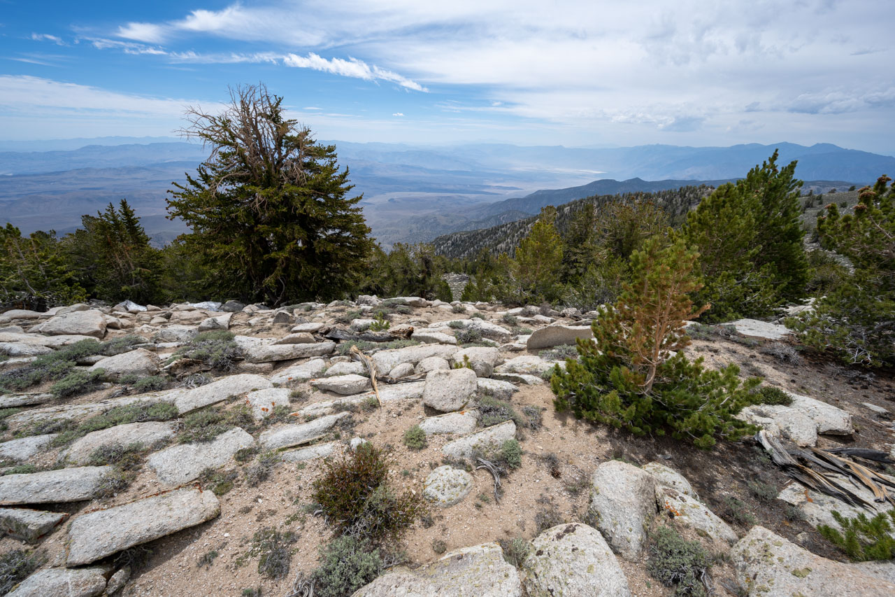
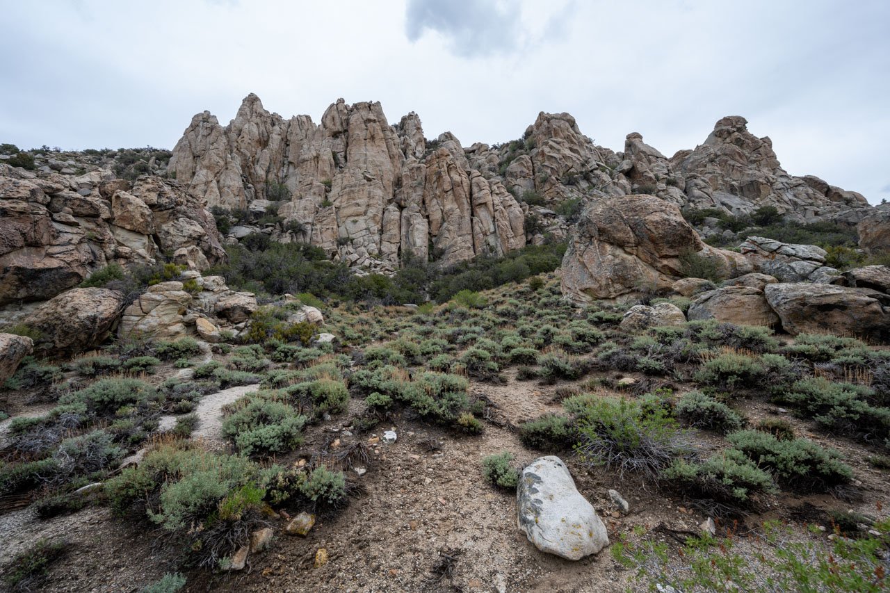
I was mainly in the area to visit Waucoba Mountain, a P3K and DPS Peak, as well as Wunupu Peak, which can be accessed along the same ridgeline. There are some interesting looking granite rock formations on the south end of Squaw Flat, so I decided to make it a loop hike, starting with Wunupu and Waucoba, then tagging a few of the unnamed rock formations in a clockwise loop leading back to the car.
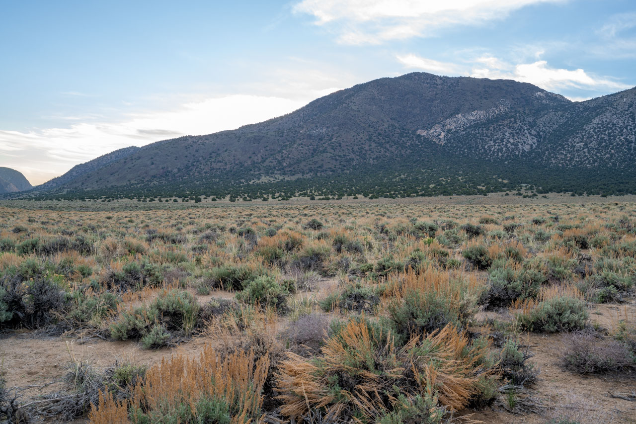
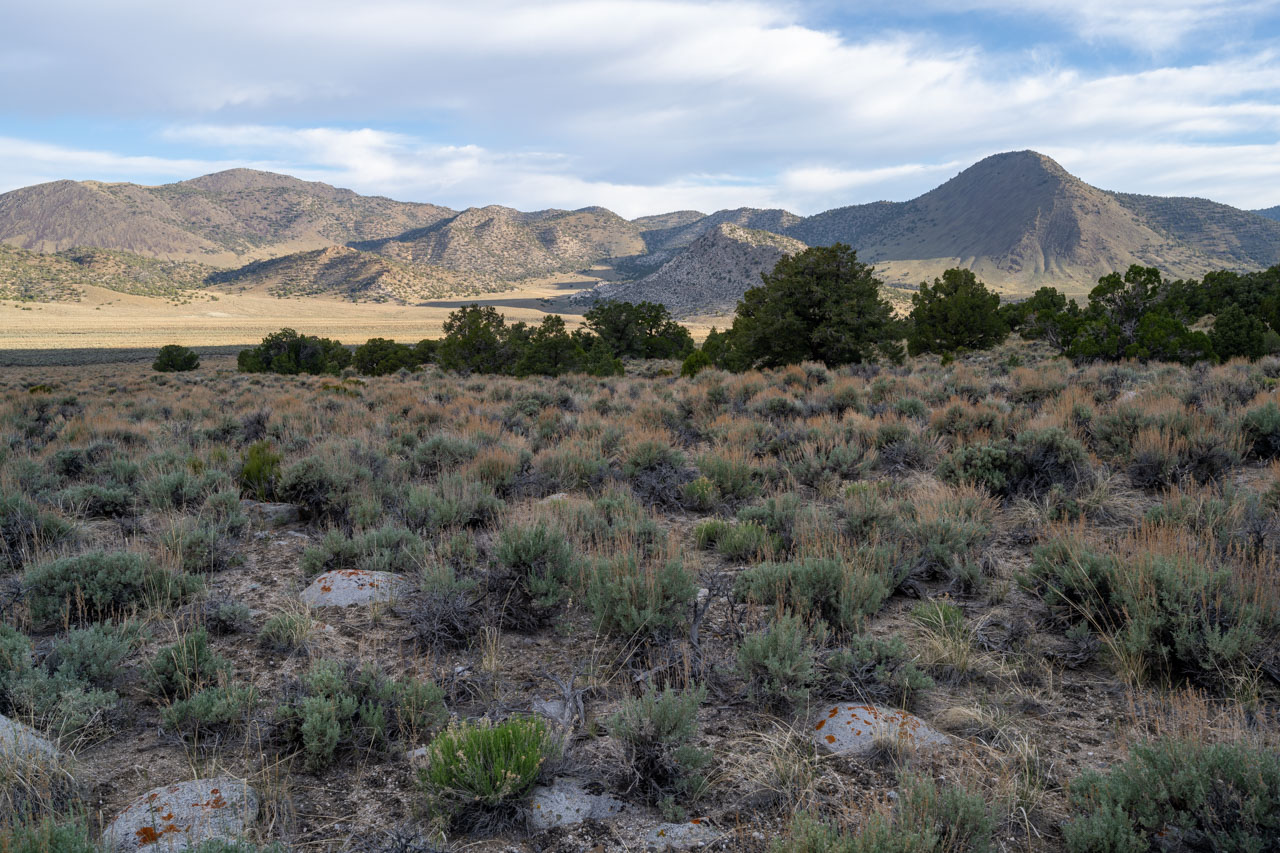
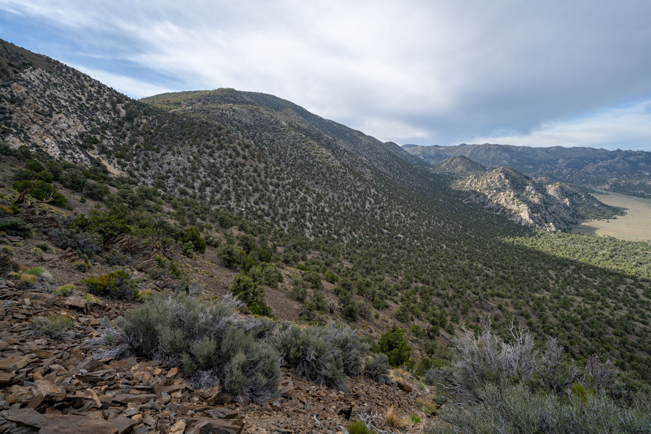
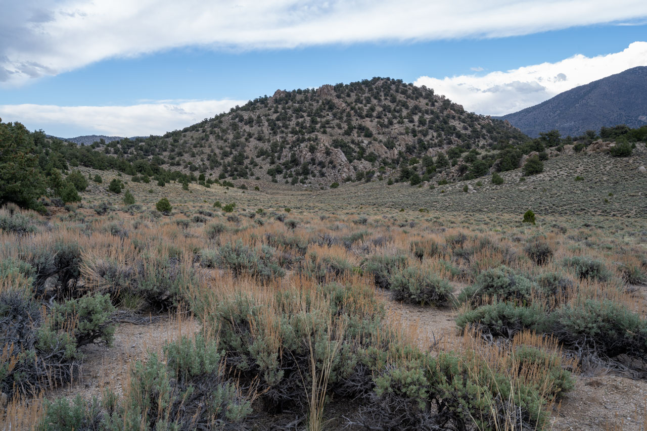
There were still some lingering clouds in the sky in the morning as I was getting ready. The forecast called for a chance of rain and snow later in the afternoon, which was the start of a cold front moving through the area. I started by making my way east across Squaw Flat, climbing roughly 2,500ft up the west ridge of Wunupu Peak on some relatively stable talus.
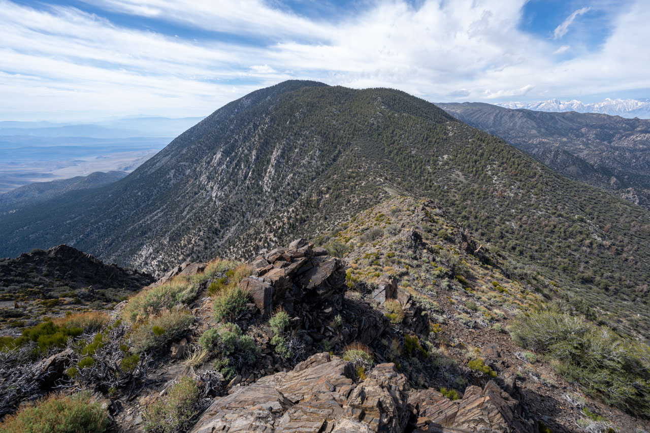
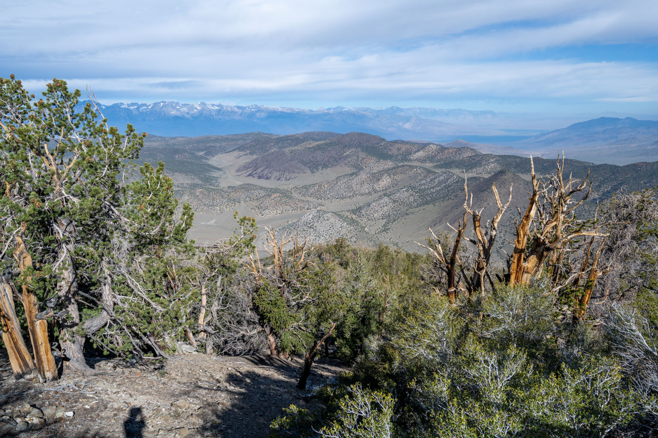
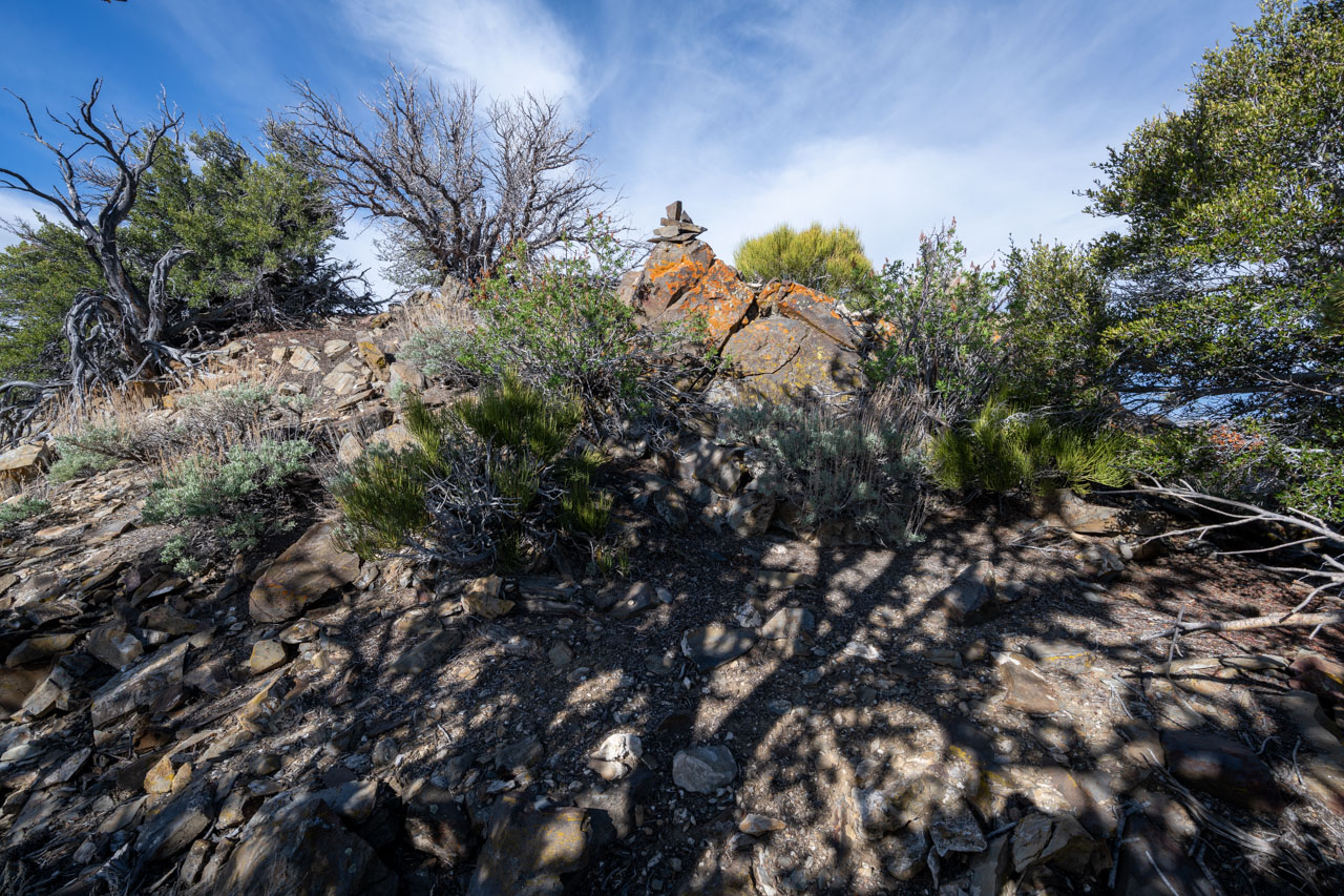
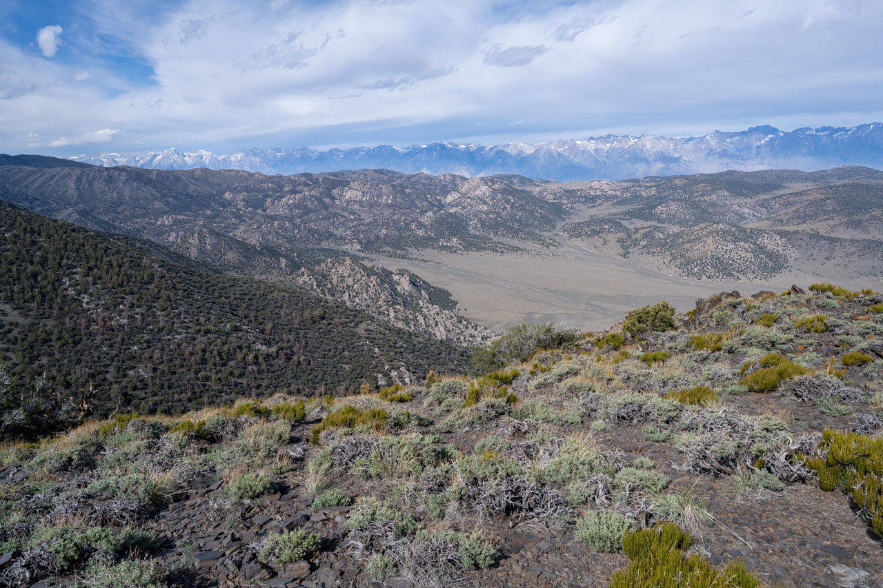
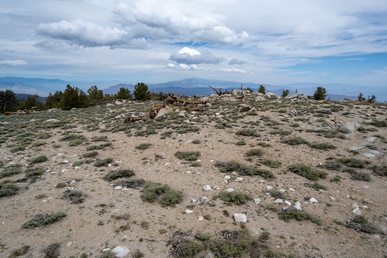
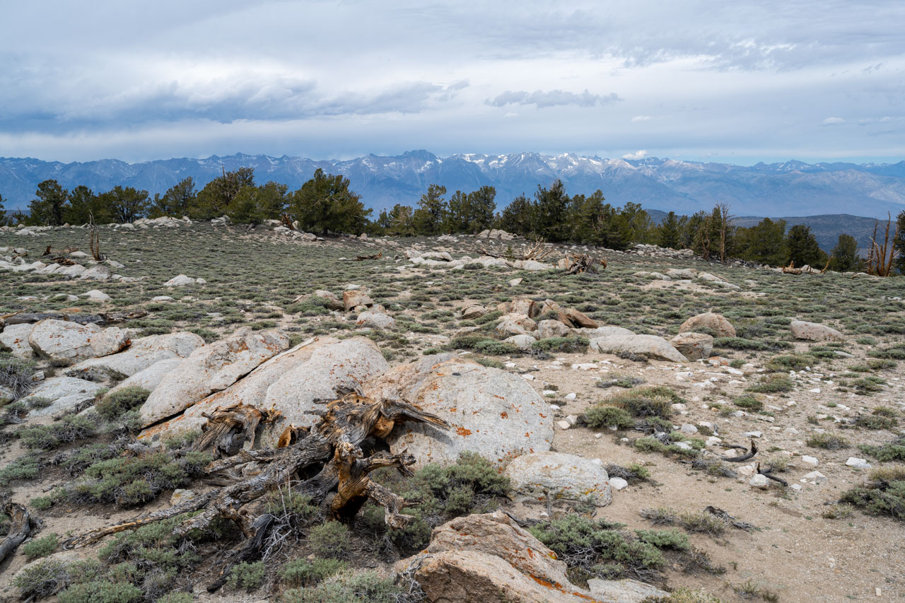
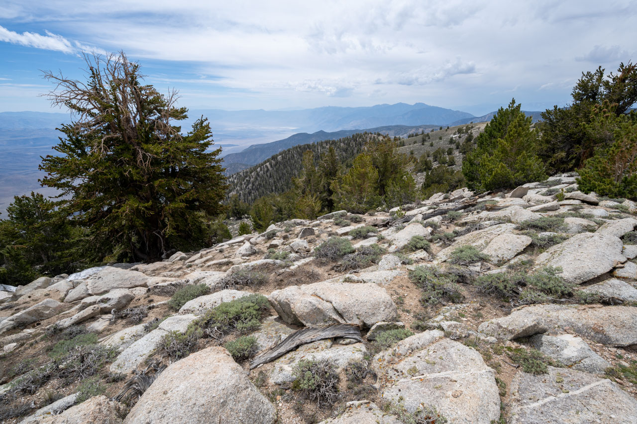
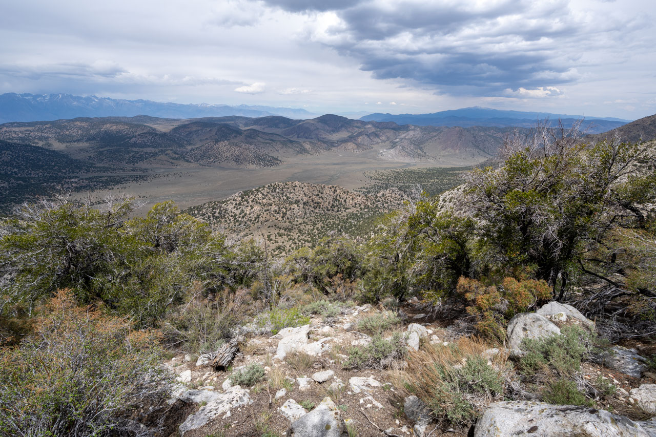
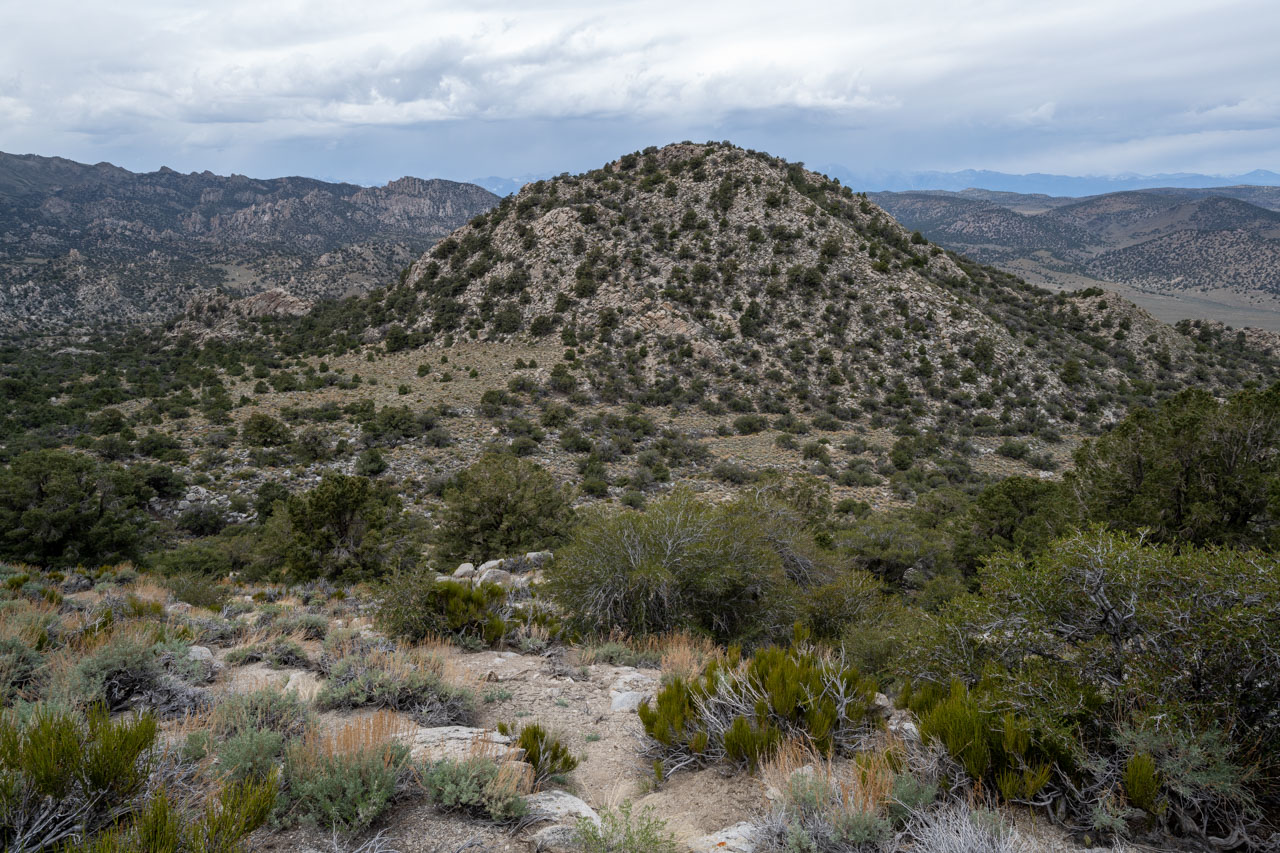
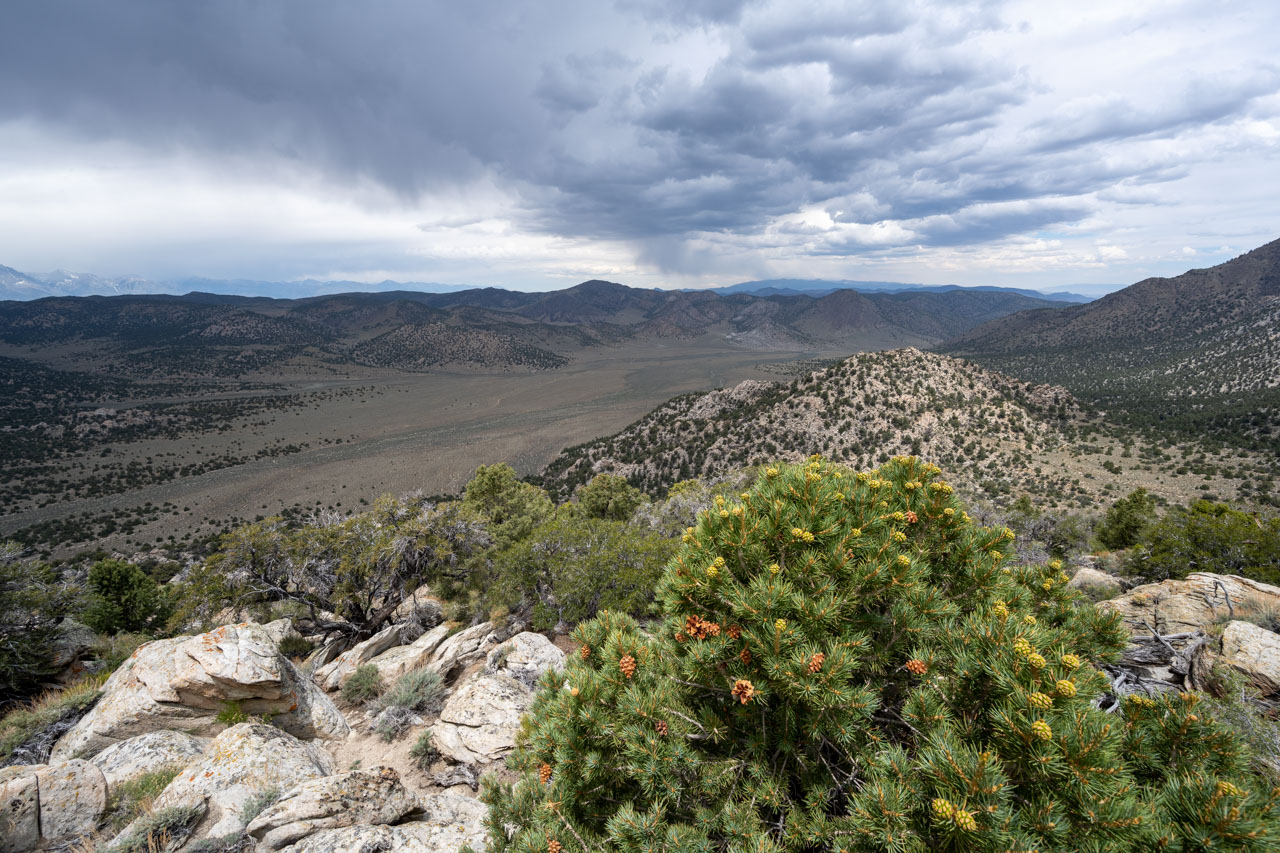
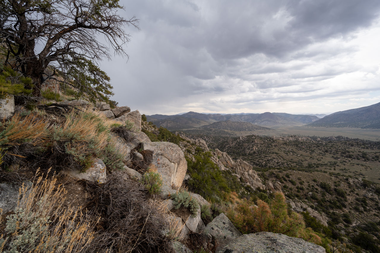
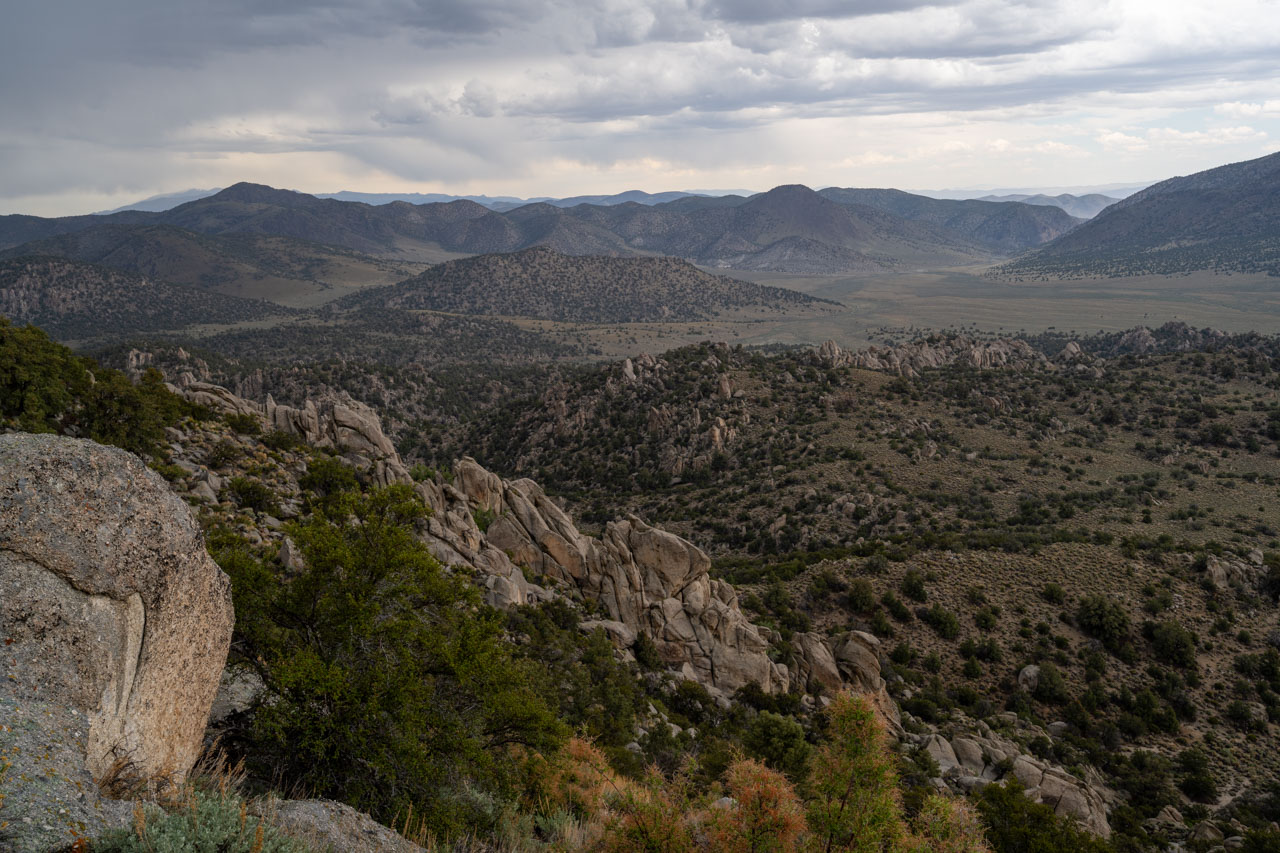
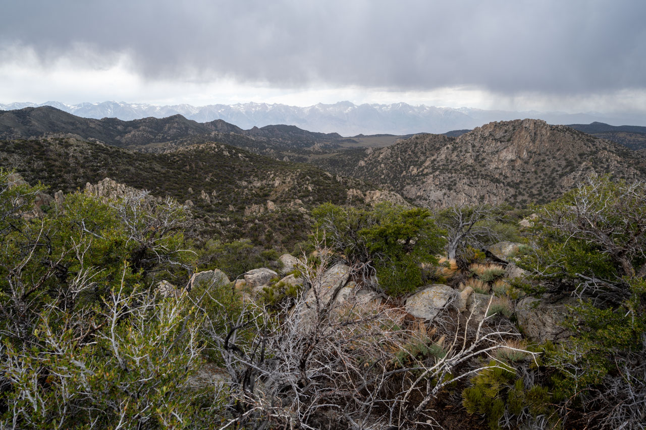
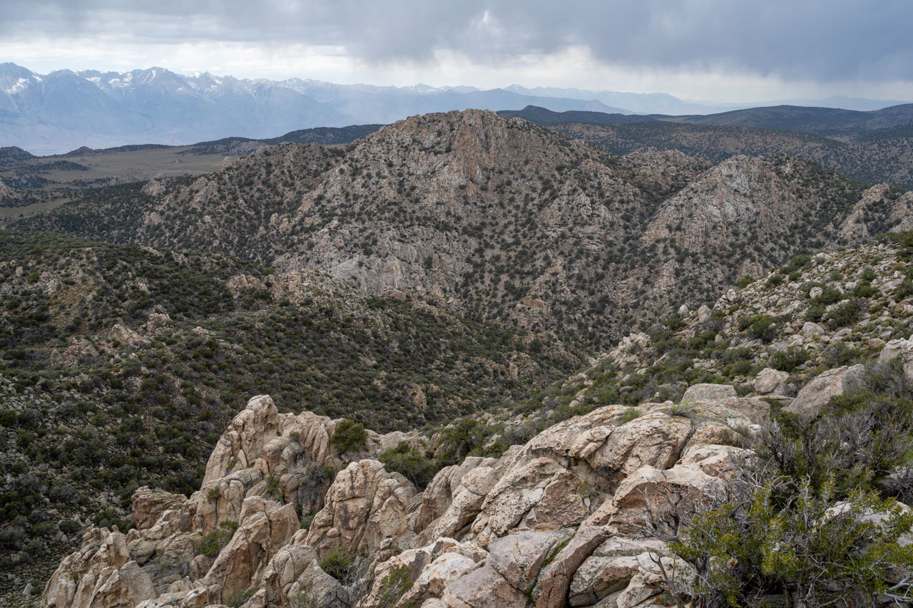
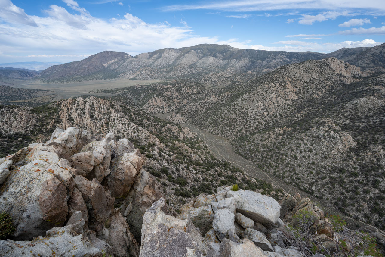
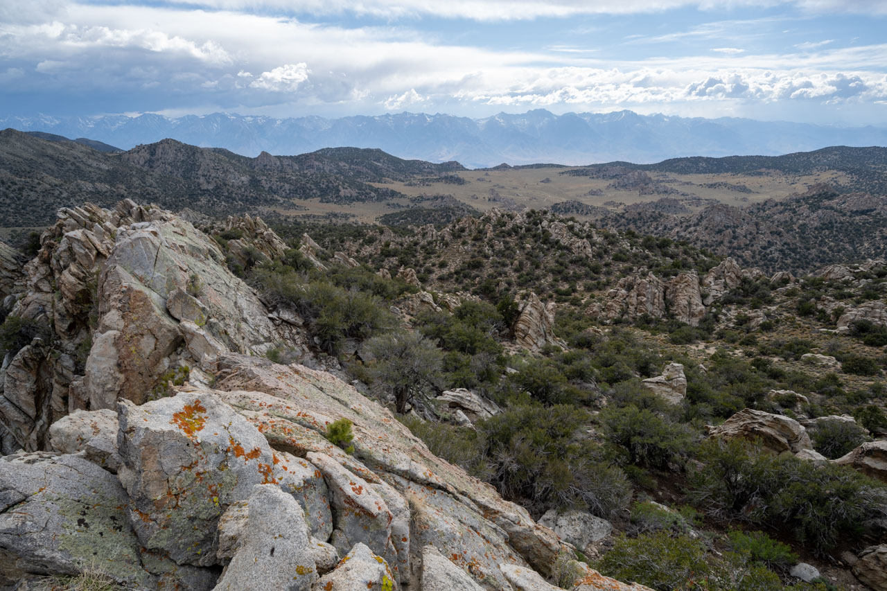
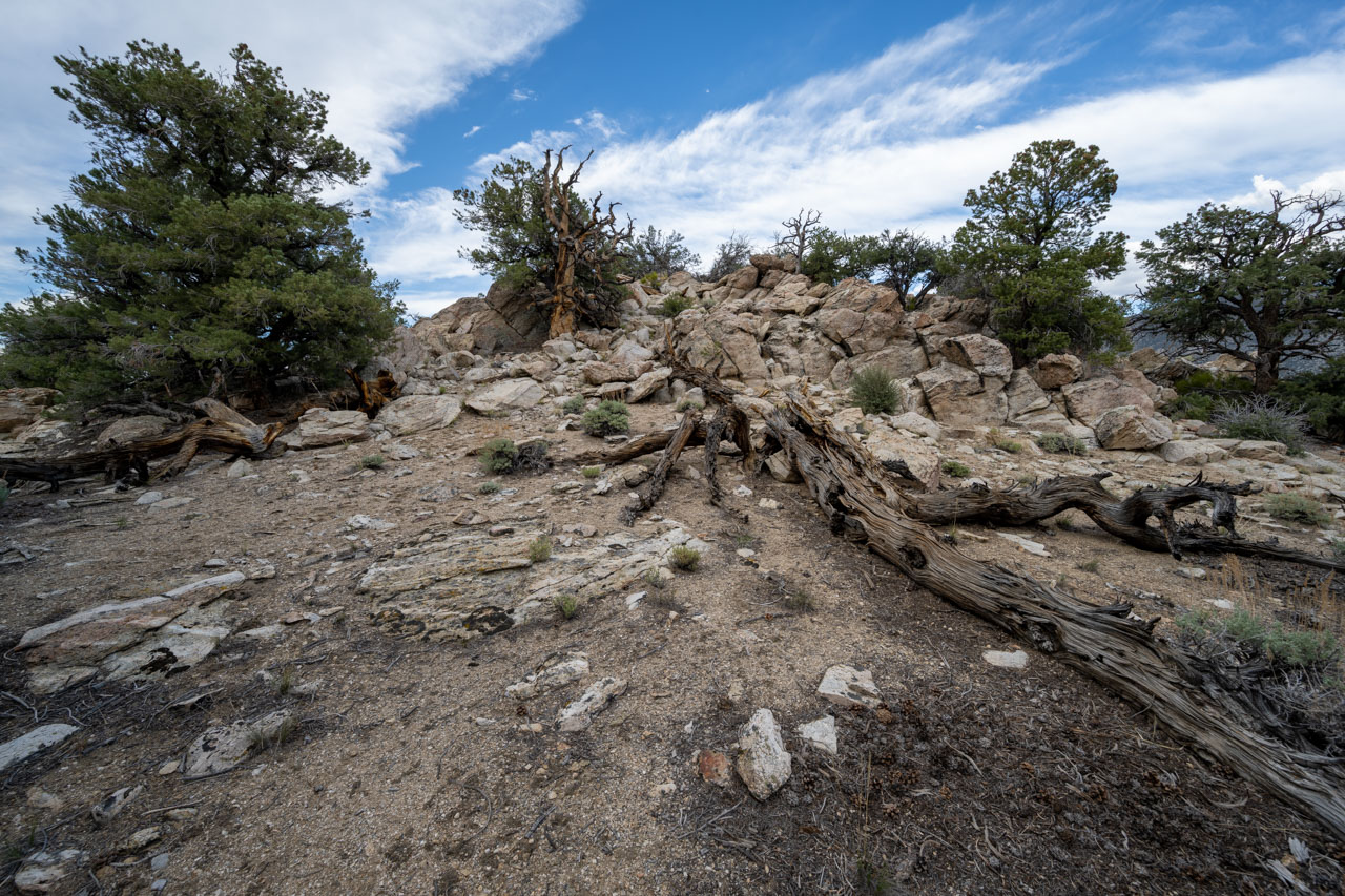
There was an impressive view as I made my south toward Waucoba Mountain. To the east across the Owens Valley were 14,000ft snowcapped peaks in the Sierra, and to the west was Saline Valley, a difference in elevation of more than 13,000 ft in just a few miles. By the time I reached the summit of Waucoba Mountain, the clouds were starting to build over the crest, and it looked like it would start to rain soon. I enjoyed the view out to Saline Valley from the summit, then started down the west ridge toward the first of the unnamed peaks, Peak 9140. Some brushy scrambling led to the summit, which not surprisingly looked like it had not been visited before.
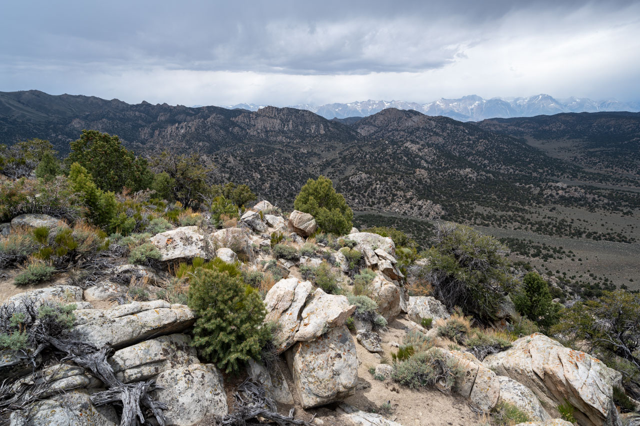
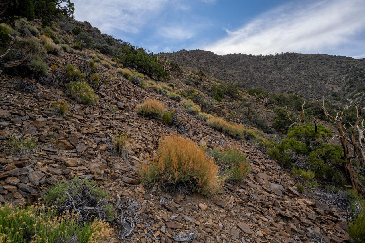
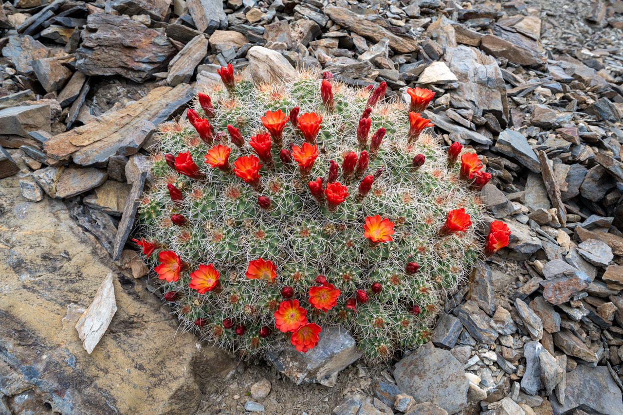
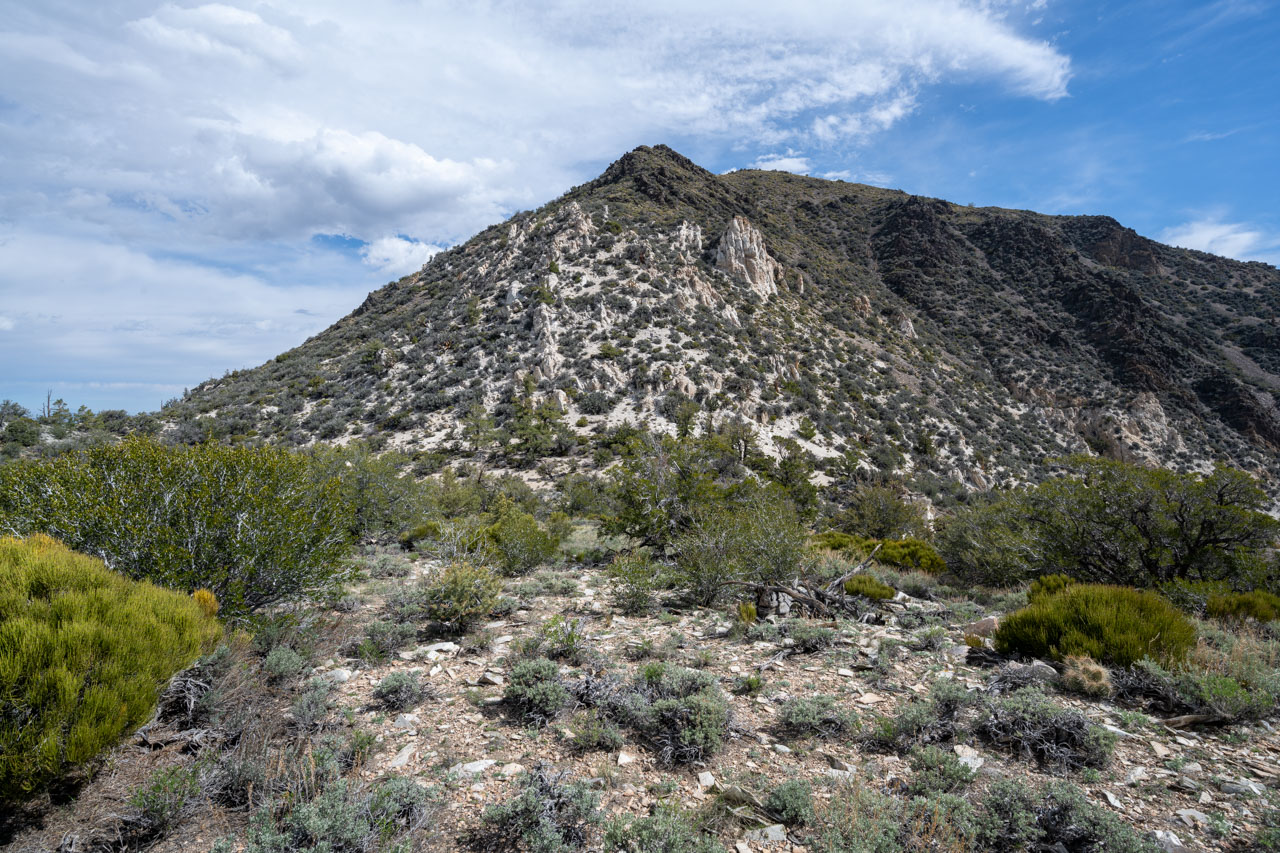
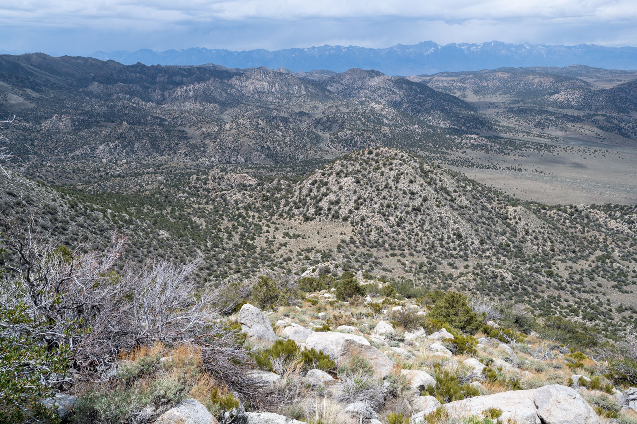
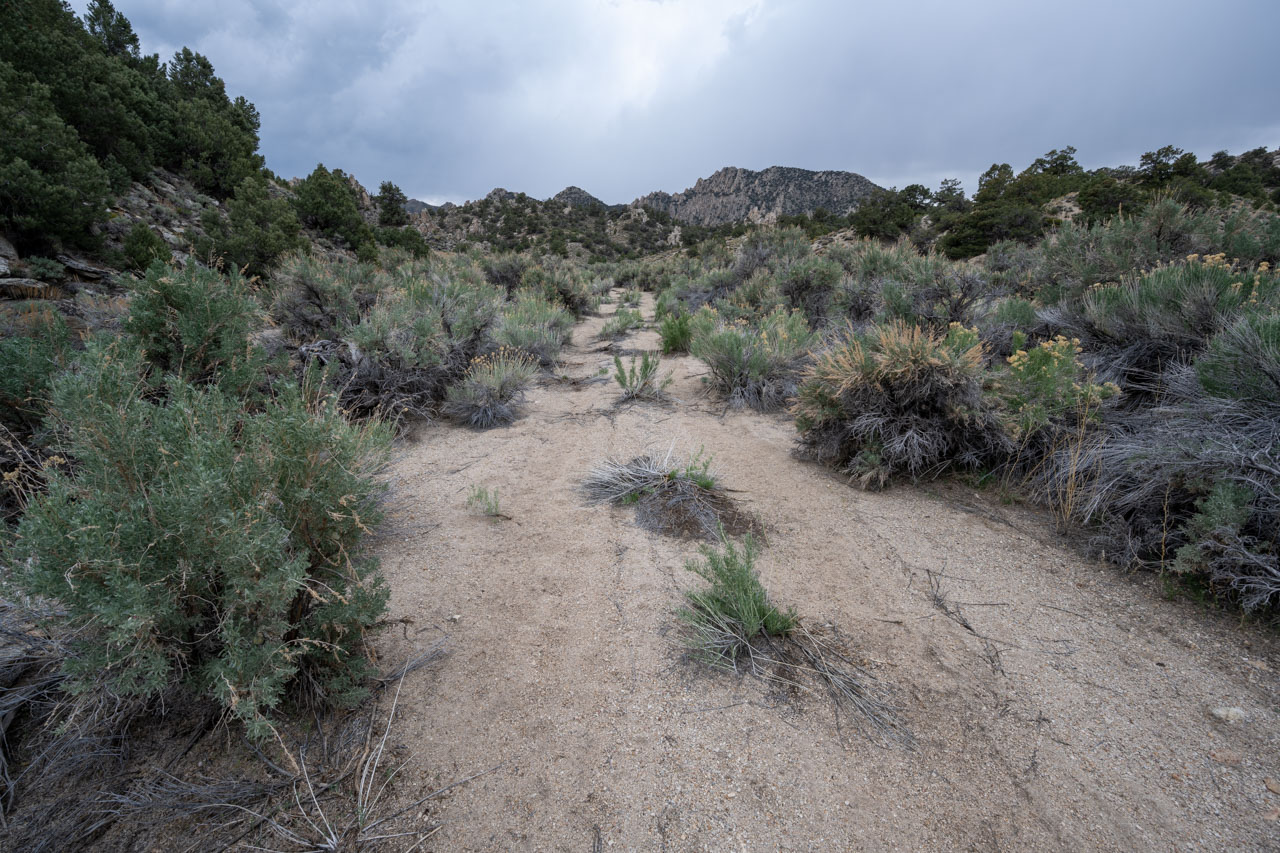
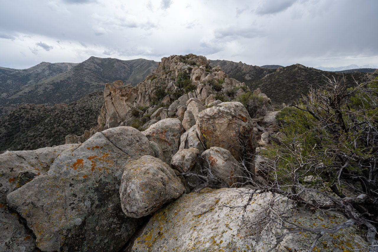
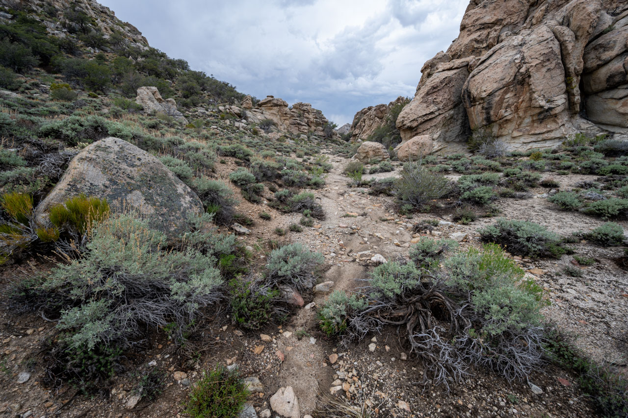
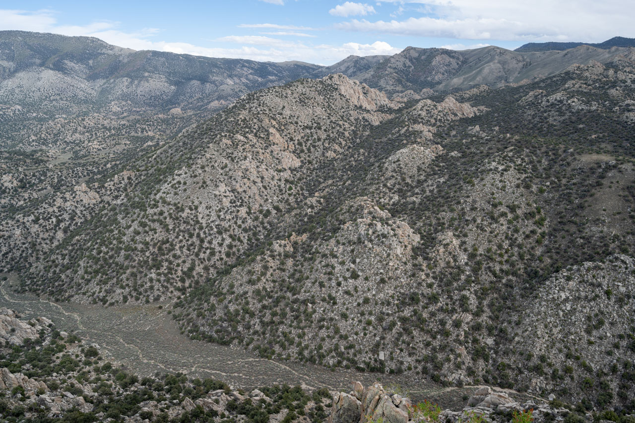
The next two peaks, Peak 9460 and Peak 9380, lay a few miles to the west. I crossed a series of small washes that led over to the base of the first peak. A thunder cell moved through the area as I was hiking up the wash, which resulted in a mixture of rain and snow. The cell moved over after roughly 30 minutes, and the rest of the afternoon was dry. After some initial bushy slopes, some scrambling along the north ridge led to the summit of Peak 9460. There were some impressive cliffs on the south and west sides of the peak.
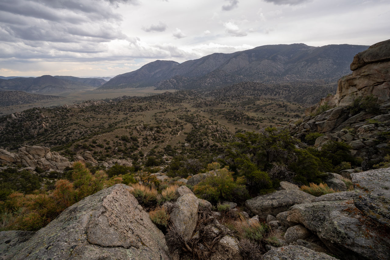
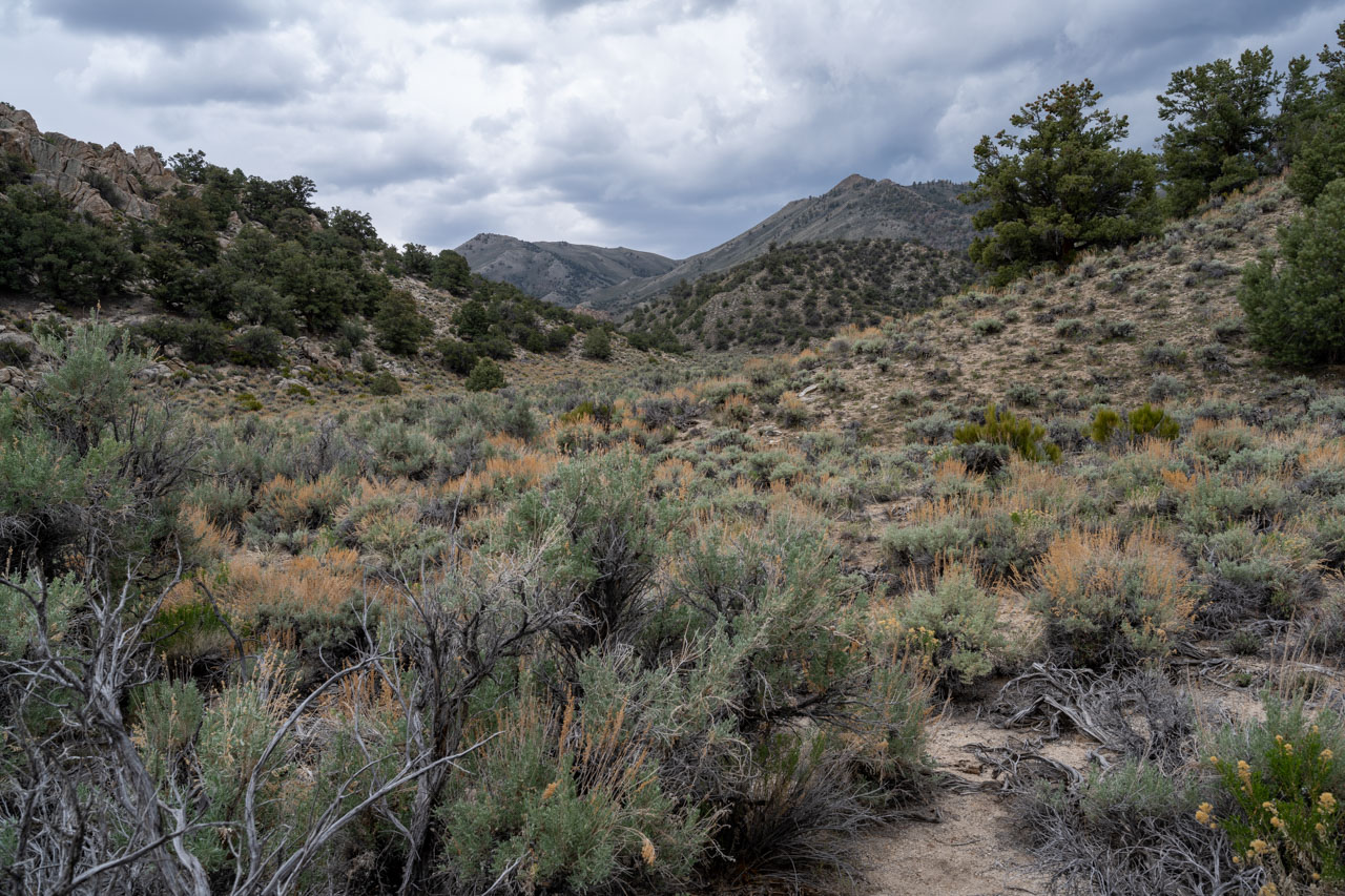
A canyon separated Peak 9460 from Peak 9380. An inviting sandy wash initially led toward Peak 9380, but that shortly turned into a steep brushy side canyon. A 1,000 ft descent led to the base of Peak 9380. Thankfully the slope up the south side of Peak 9380 was much more open. I made my way around to the north side of the peak, arriving at the summit by mid-afternoon.
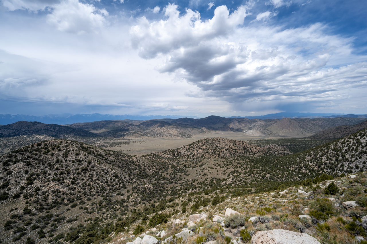
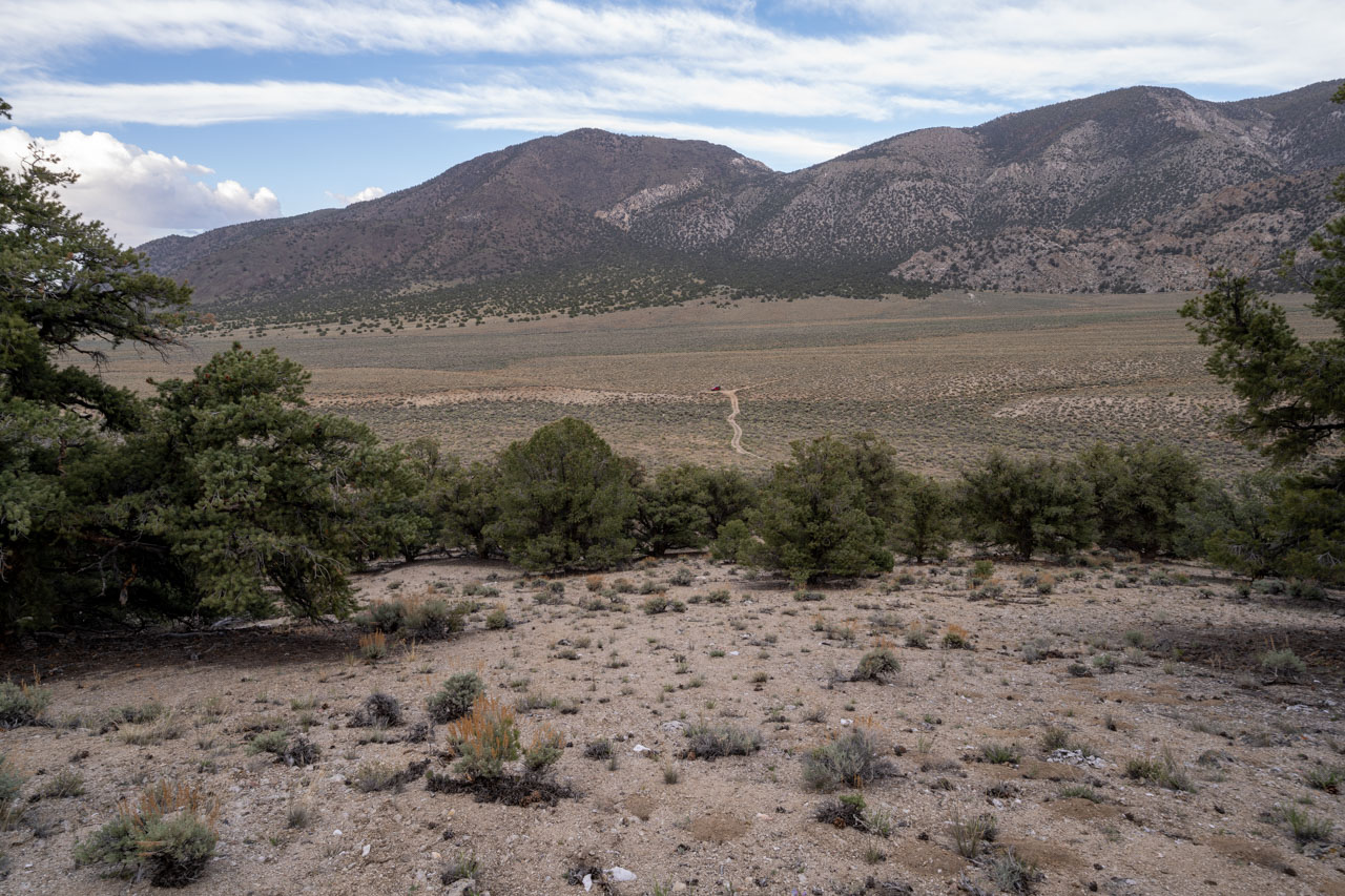
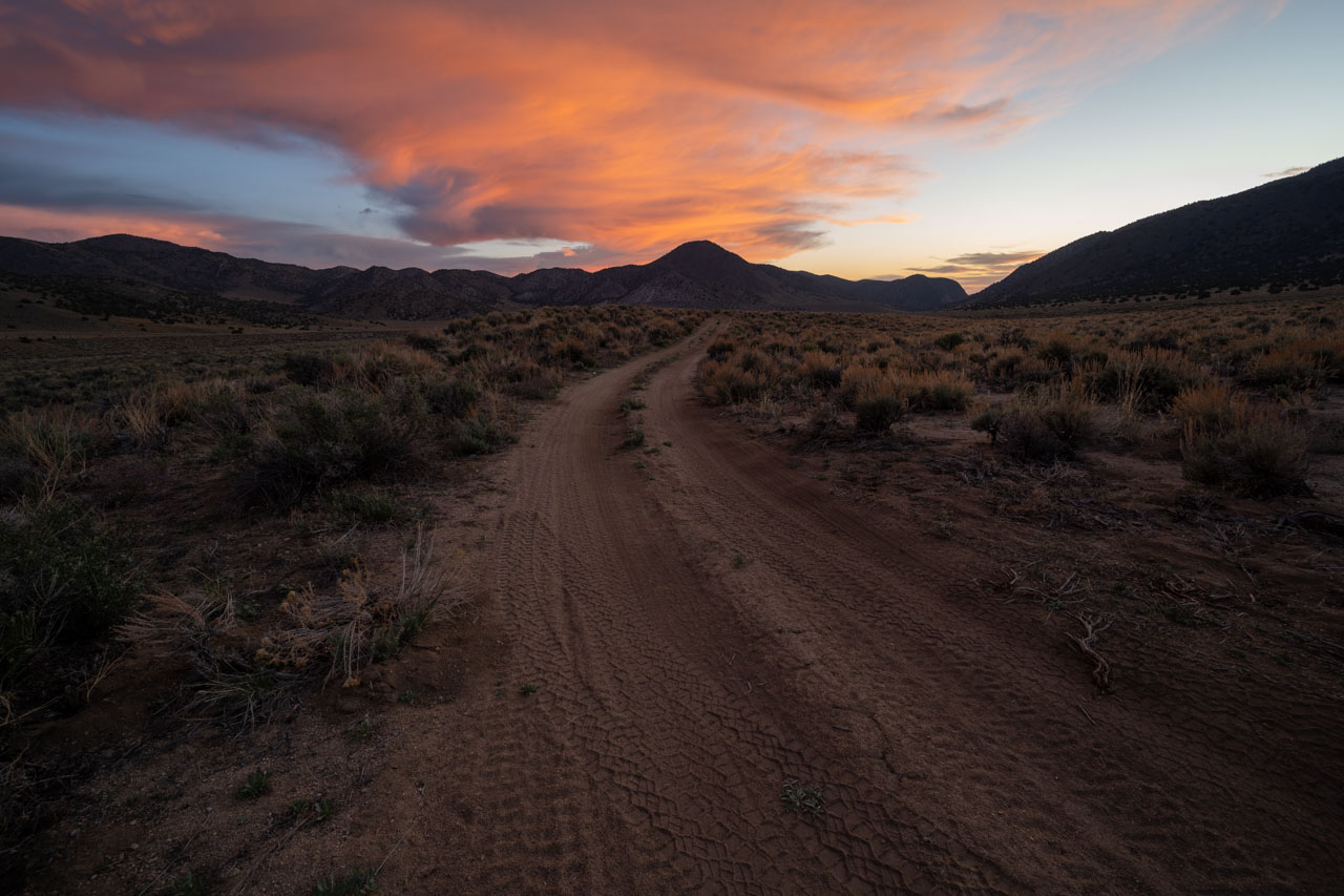
I had one more peak to complete my planned loop. To reach it, I dropped north toward a 4WD road, which I followed briefly before heading across the flat toward Peak 8540. A short climb led up to the summit. From there, it was less than a mile back to the car. I was planning to spend the next two days exploring the Cottonwood Basin in the White Mountains, so afterward I drove a few hours north to a campsite near Crooked Creek.