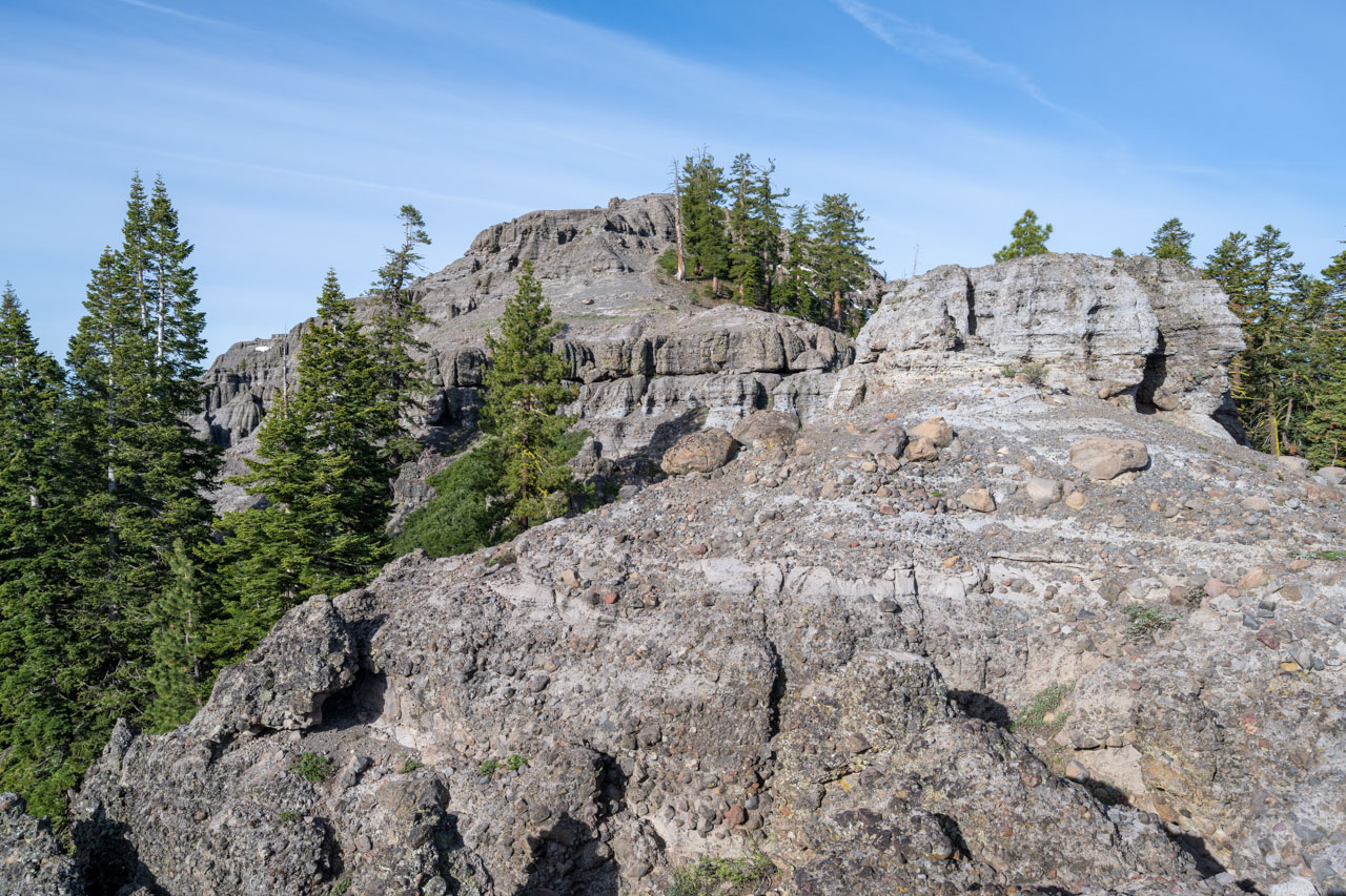
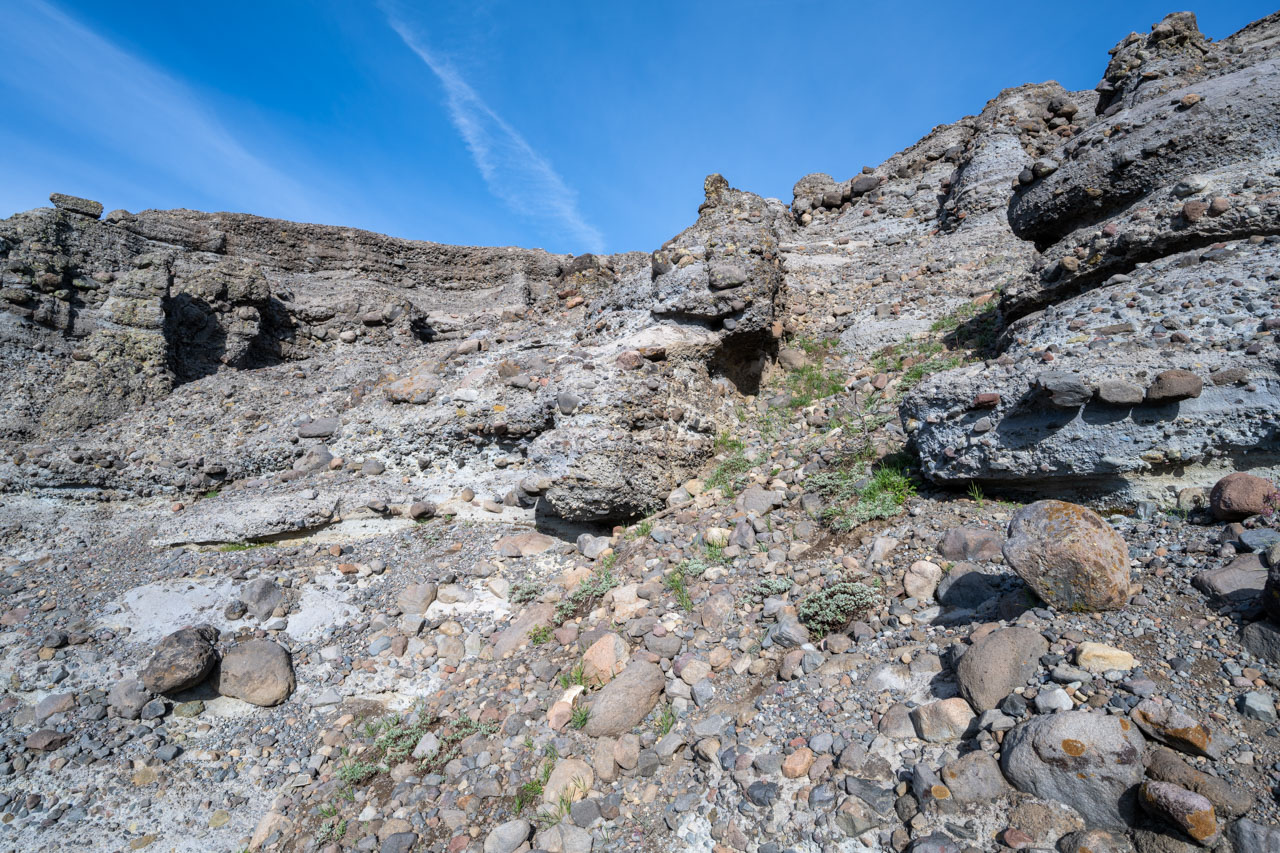
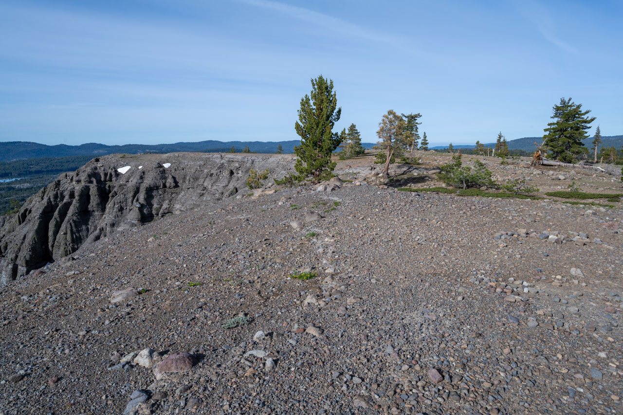
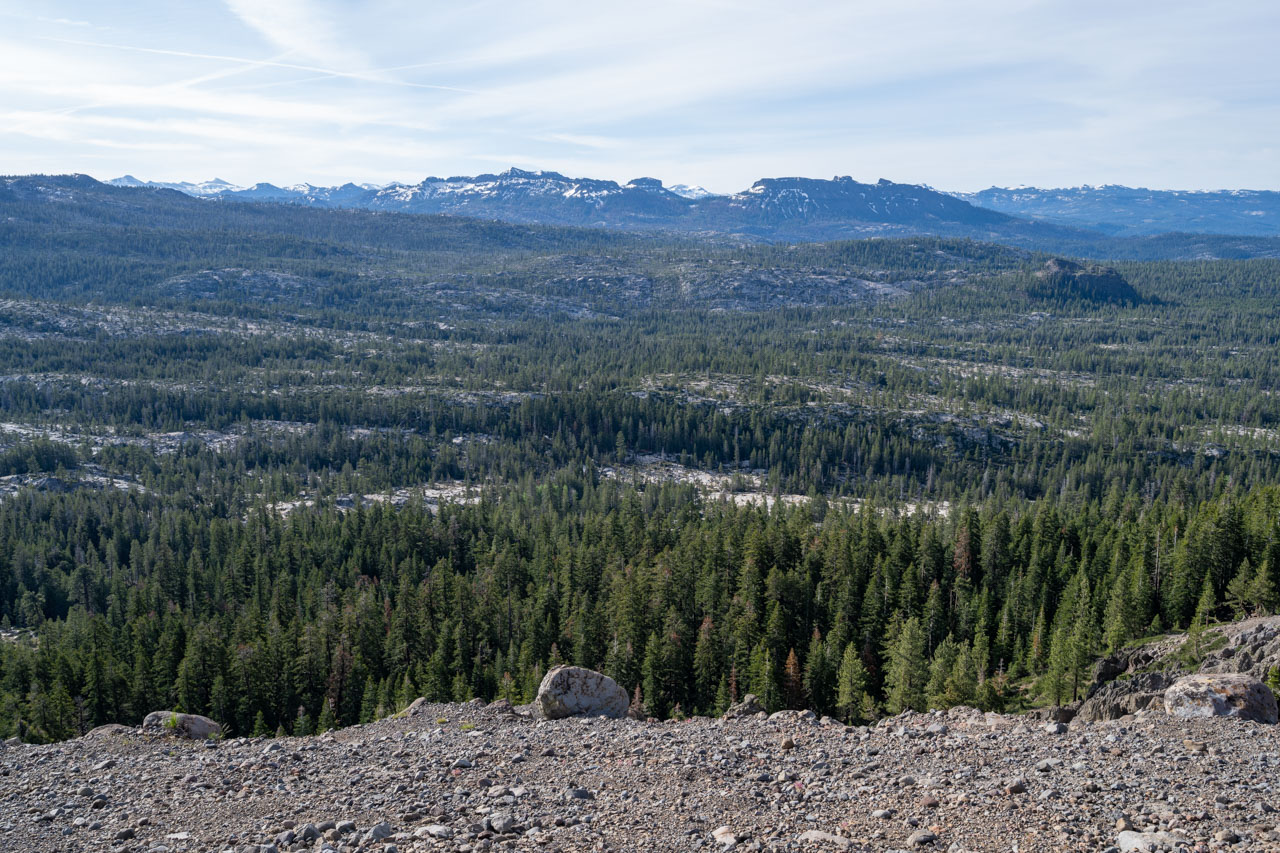
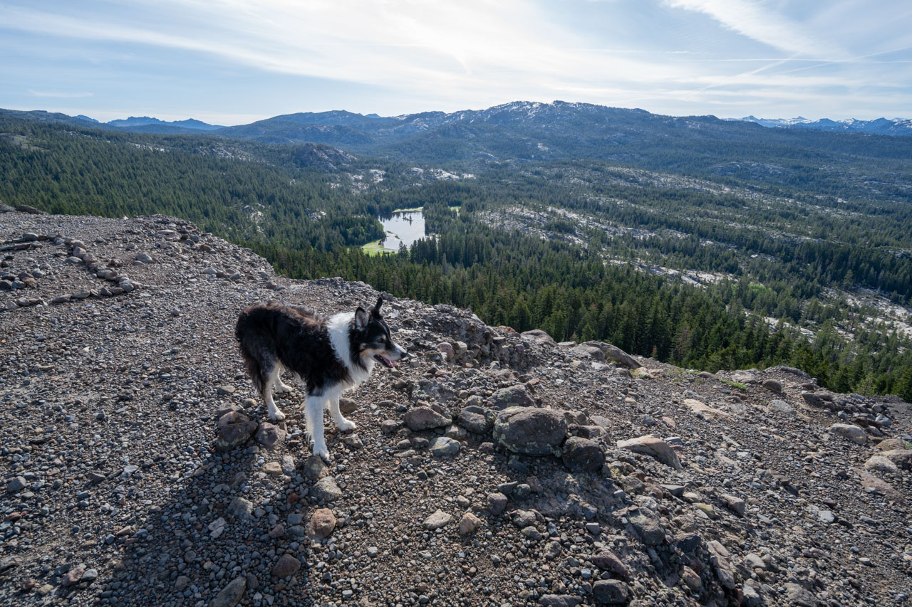
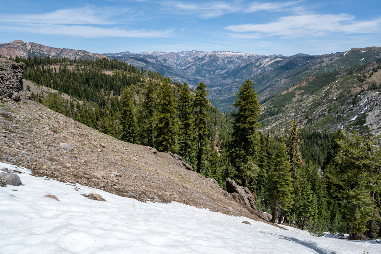
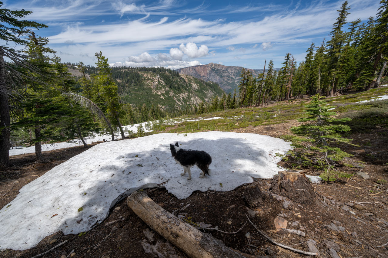
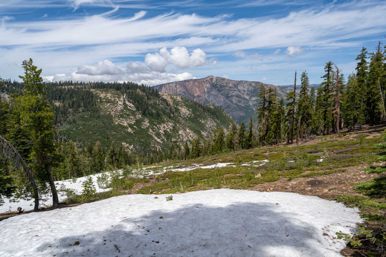
2.7 Miles, 700 Gain
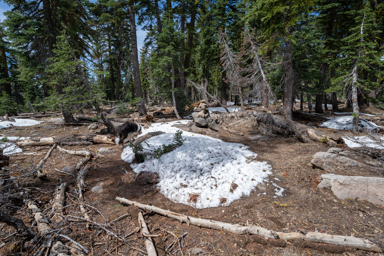
Inspiration Point is a short hike from Silver Valley Campground off of Highway 4 near Bear Valley. The campground and trailhead were still closed for the season, so I started from the highway and walked through the campground until I found the trailhead. There was patchy snow on the trail, but that cleared up as soon as I started up the north ridge of Inspiration Point. I followed a use trail past some volcanic outcrops, which led to a dog-friendly slope on the east side of the ridge. From the summit, there was a good view of many of the peaks in the Carson-Iceberg Wilderness.
1.4 Miles, 350 Gain
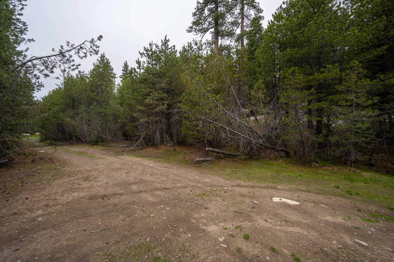
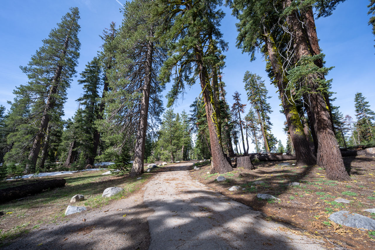
Osborn Hill is a short hike off of Highway 4. The Silvertip Campground was still closed, so I parked in a small pullout near the road. I followed a well-used trail that led up to the summit. The views were not as good as they had been on Inspiration Point, but I was able to see most of the route along Bloods Ridge that I planned to visit next.
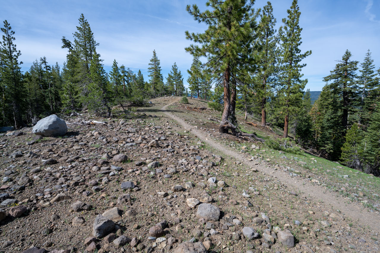
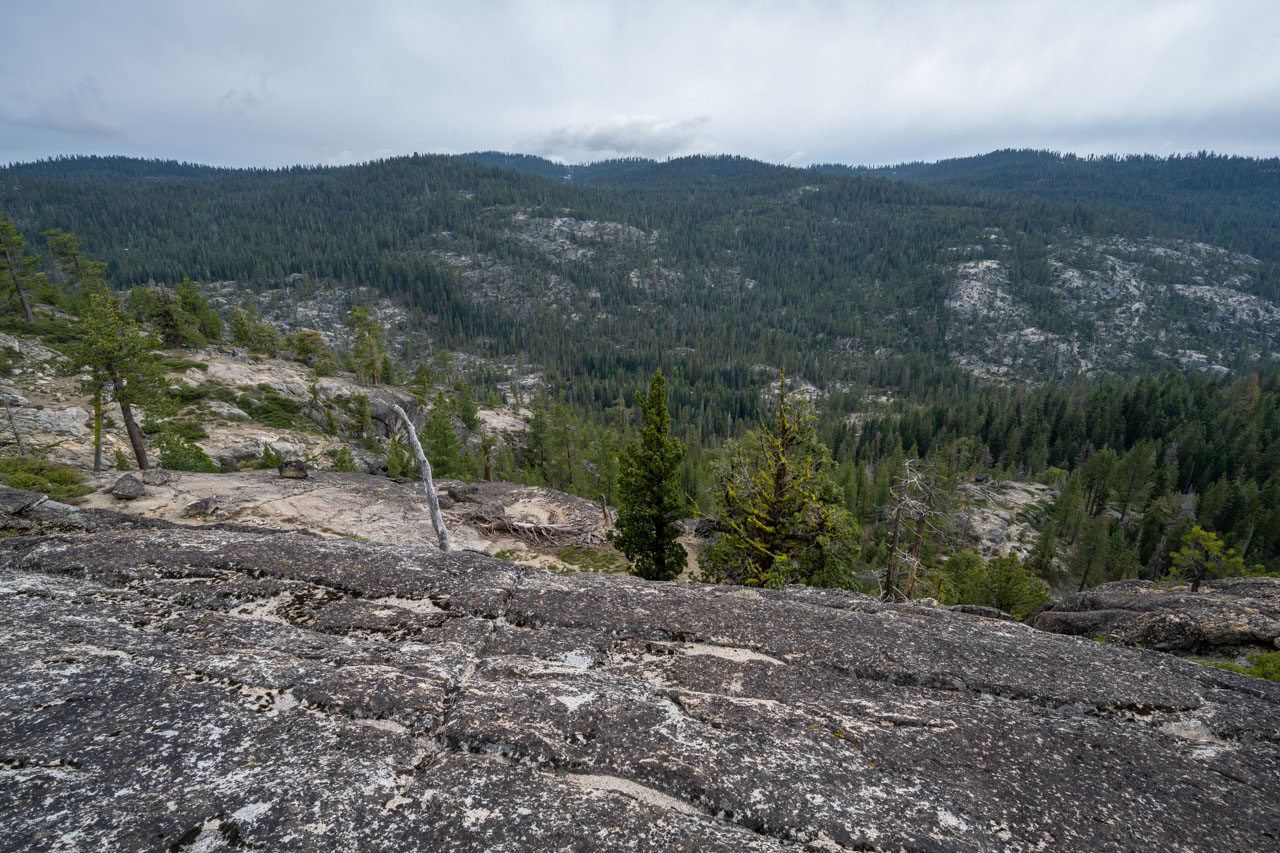
6.4 Miles, 1400 Gain
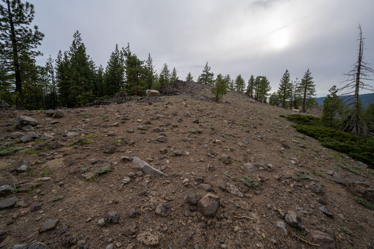
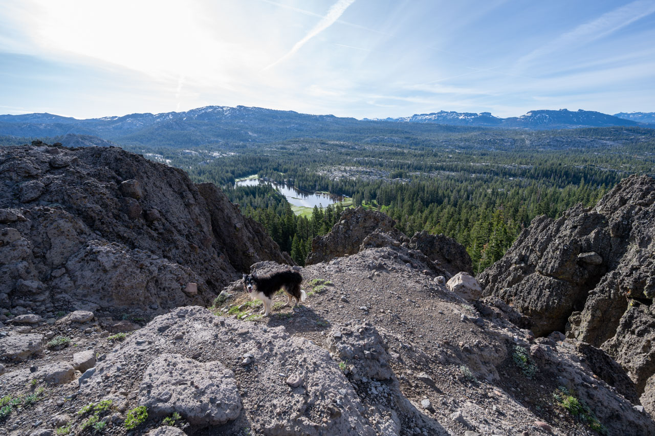
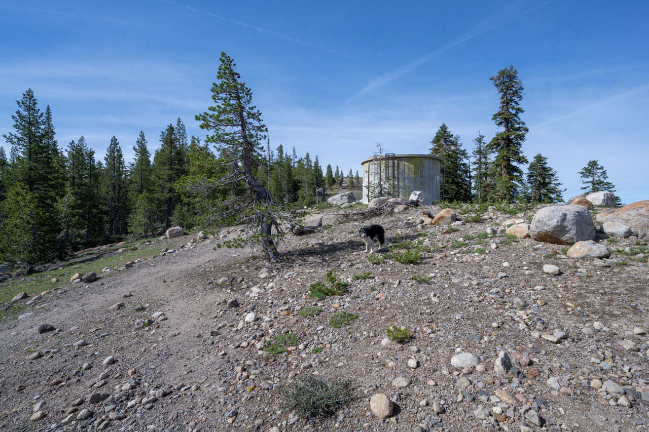
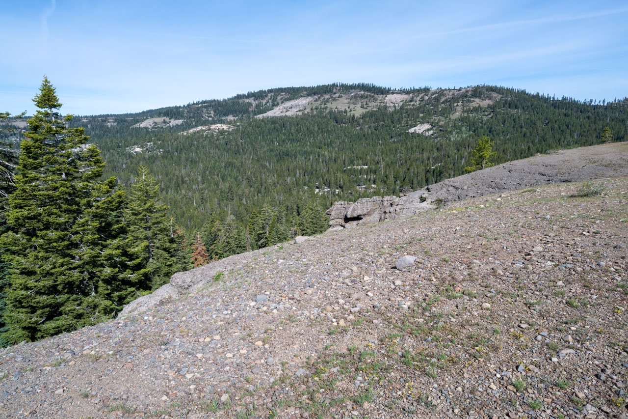
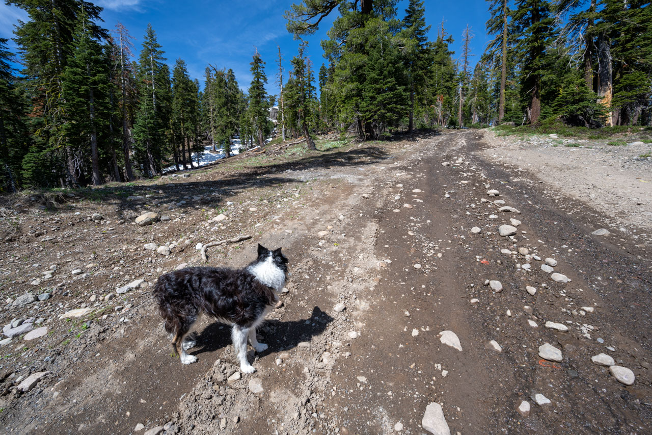
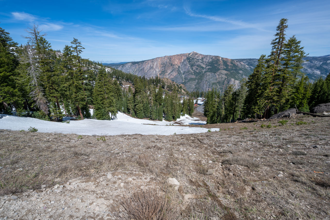
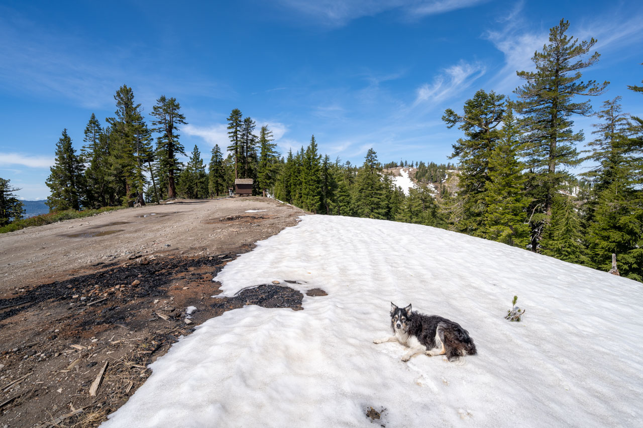
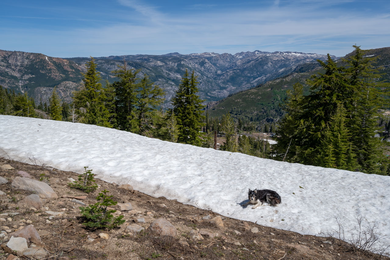
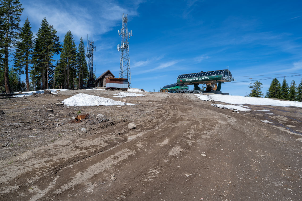
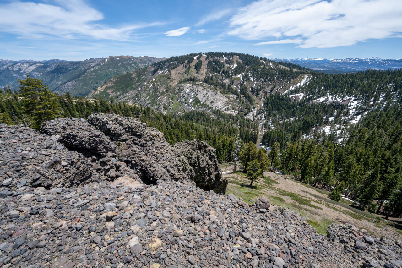
The primary reason I had planned a trip to the area was to visit the Calaveras County Highpoint, which is located atop Corral Ridge above the town of Bear Valley. I parked in a large empty lot at the Bear Valley Ski Area and continued up an access road that is used to service the ski lifts. Along the way, I passed over the highpoint of Bloods Ridge, which has several large ski lifts and a communications building near the summit.
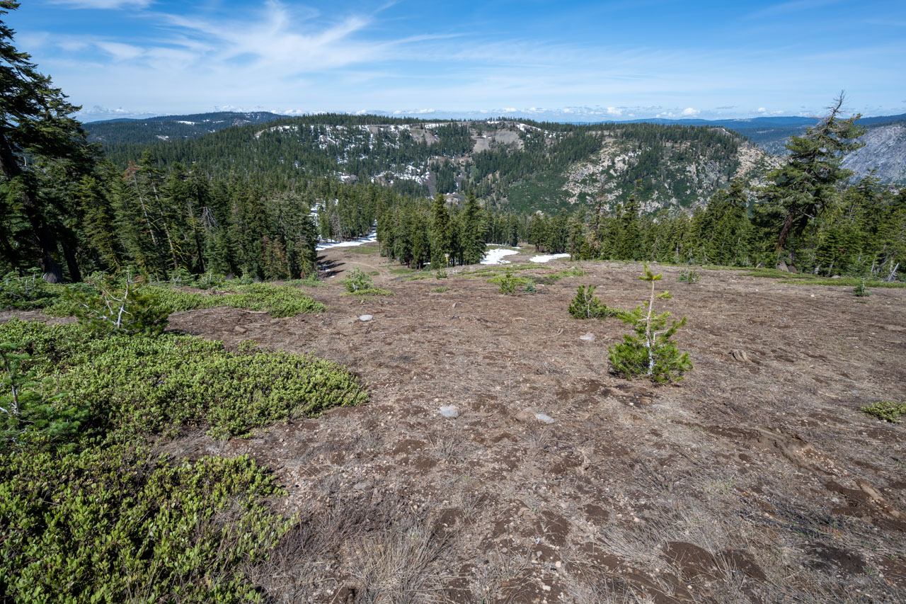
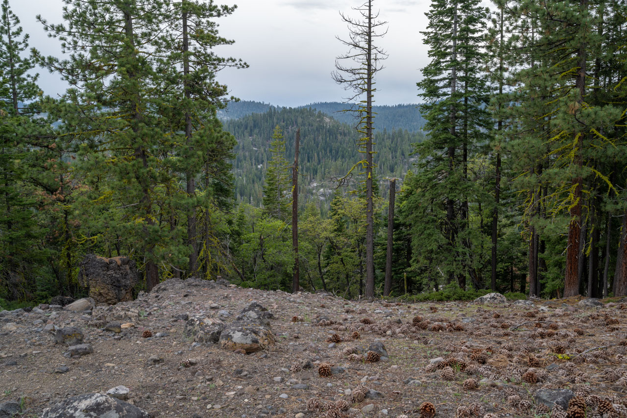
Continuing along the ridge, I descended a clearing in the forest that would normally be a ski run earlier in the year. I followed a road along the ridge before heading through the forest to find the highpoint. I found a small cairn at the highpoint, which had an old Gatorade bottle that held the summit register. There was a jumble of paper stuffed inside the bottle, so I didn’t bother to sign in. After taking a short break, I continued to nearby Point 8170, which was slightly lower but had a much better view of the surrounding area. Mokelumne Peak and the Mokelumne Tetons stood out prominently on the opposite side of the valley. In the distance, I could see Round Top and the impressive Mokelumne River gorge. After enjoying the views, I followed my same route back to the car.
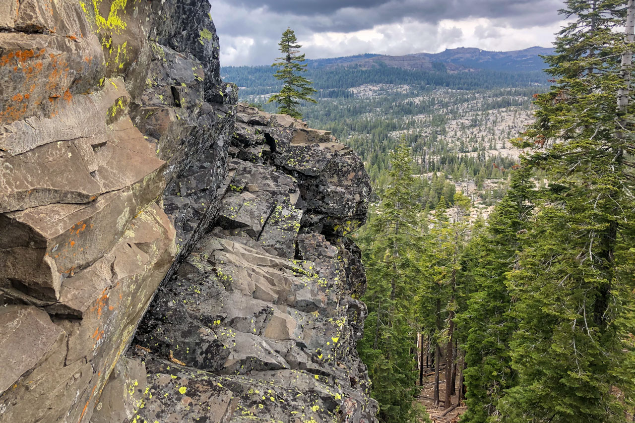
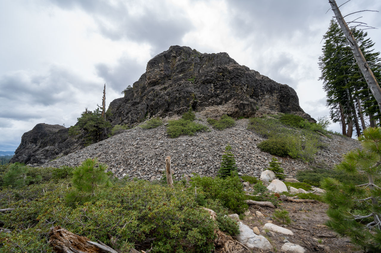
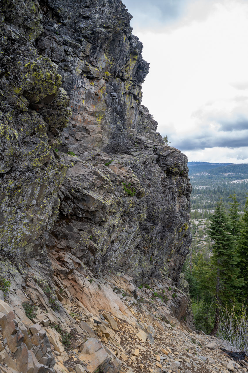
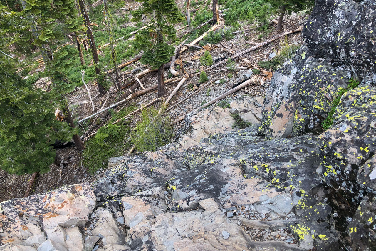
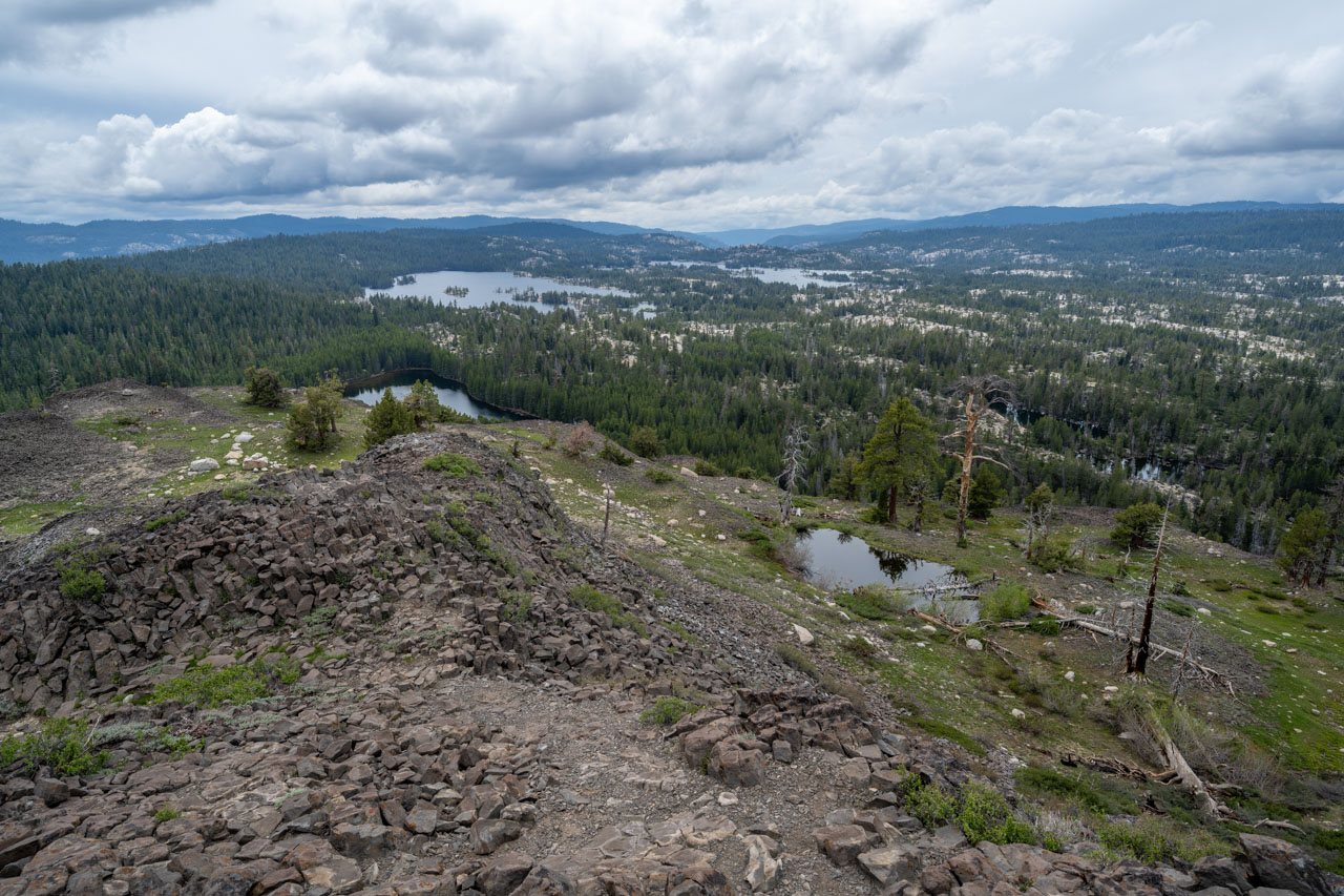
2.0 Miles, 750 Gain
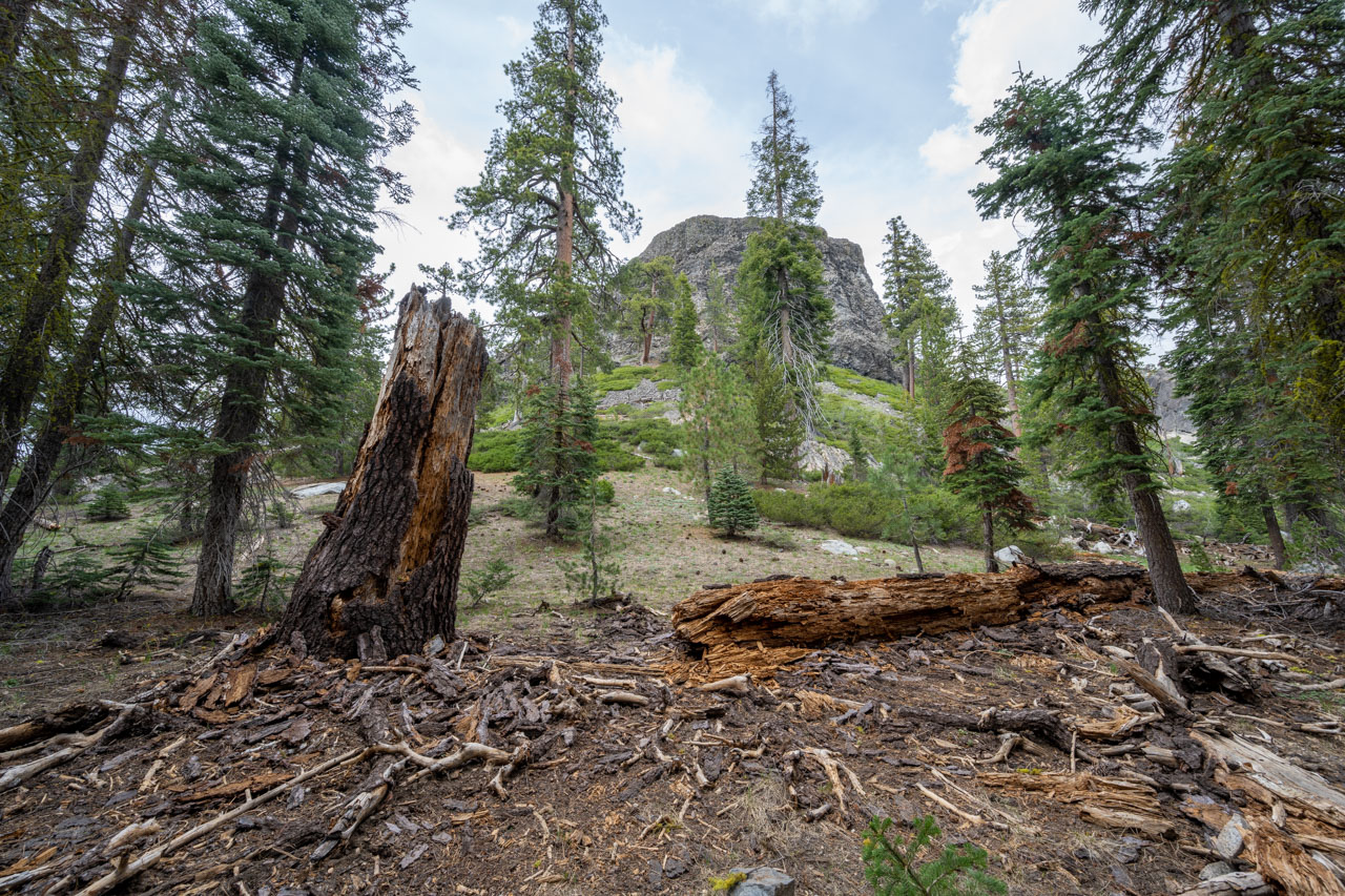
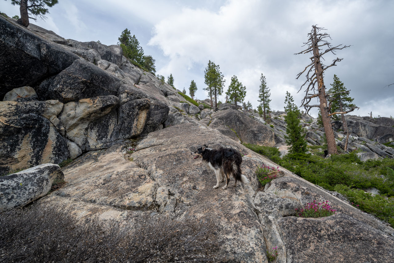
To reach Elephant Rock, I followed the main forest service road coming in from the south until it eventually ended at Elephant Rock Lake. A trail led past the lake before continuing over to Elephant Rock. From there, I found a dog-friendly route up some granite slabs that led to the east side of the peak. I had my dog wait near an old campfire circle at the base of the peak, then continued around the north side following a use trail. The trail ended near a narrow ledge that led to a short but enjoyable Class 3 scramble up to the summit.
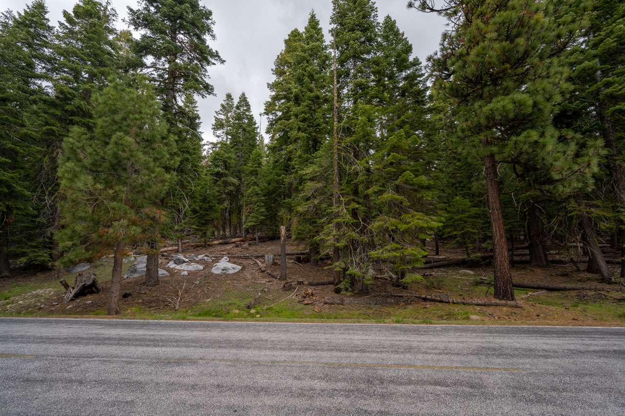
1.1 Miles, 350 Gain
There were several other named and unnamed peaks along the road that I had used to reach Elephant Rock, so I did a short hike to reach each of them on the drive out. Sapps Hill was the first of these. I parked near the junction of a dirt road, then continued directly through the forest toward the summit. There was a small clearing at the summit, but not much in the way of views.
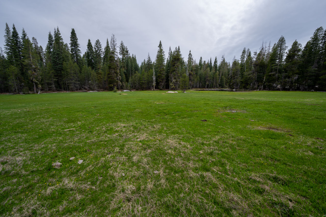
3.0 Miles, 600 Gain
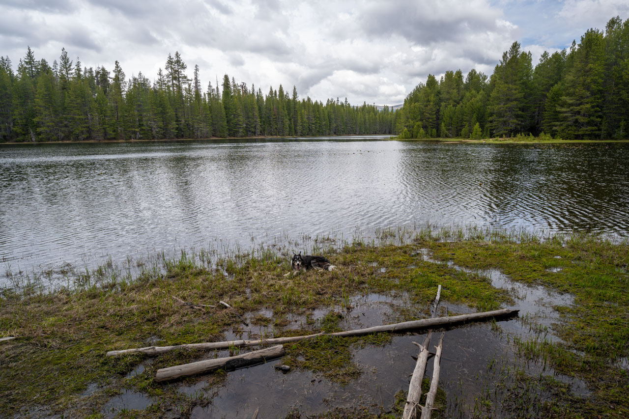
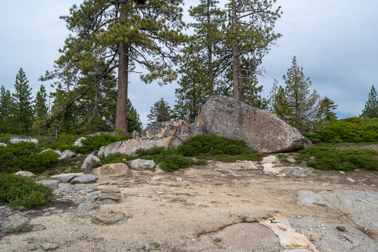
I continued a bit further down the road and found another pull-off near a small unnamed lake. To reach Peak 6963, I descended through a forested section to reach Corral Meadow. The meadow was still pretty damp this time of year, and I passed it on the outskirts before heading through the forest in the general direction of the peak. After a brief section of bushwhacking near the summit, I found the summit boulder in a clearing overlooking Highland Creek.
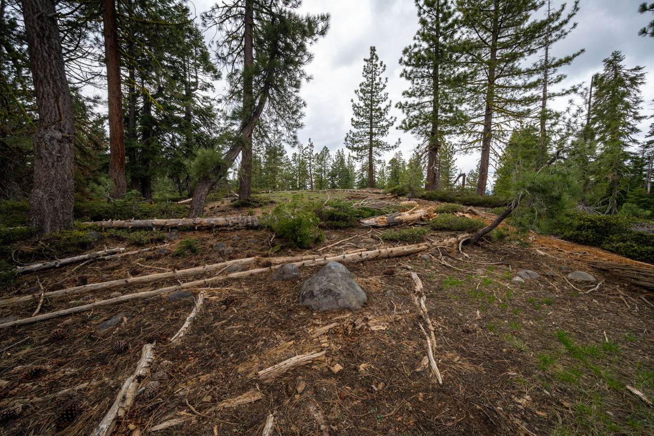
1.0 Miles, 300 Gain
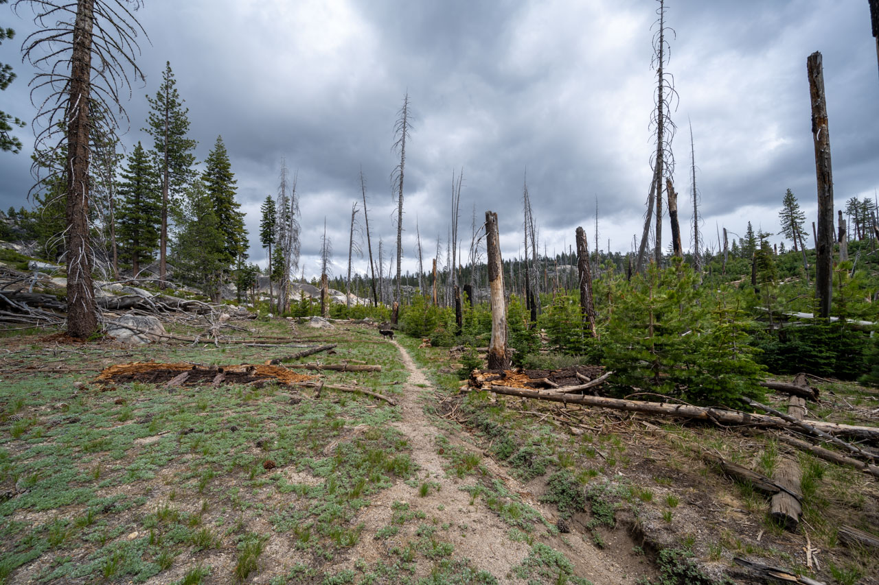
To reach the final peak of the day, Peak 6900, I parked just off the main road near an old campfire circle. I followed some orange flagging through the forest, likely put in place by hunters. I passed several small ponds before reaching a clearing at the summit. There were minimal views from the summit, although I could make out nearby Sapps Hill and Peak 6963 that I had just visited.