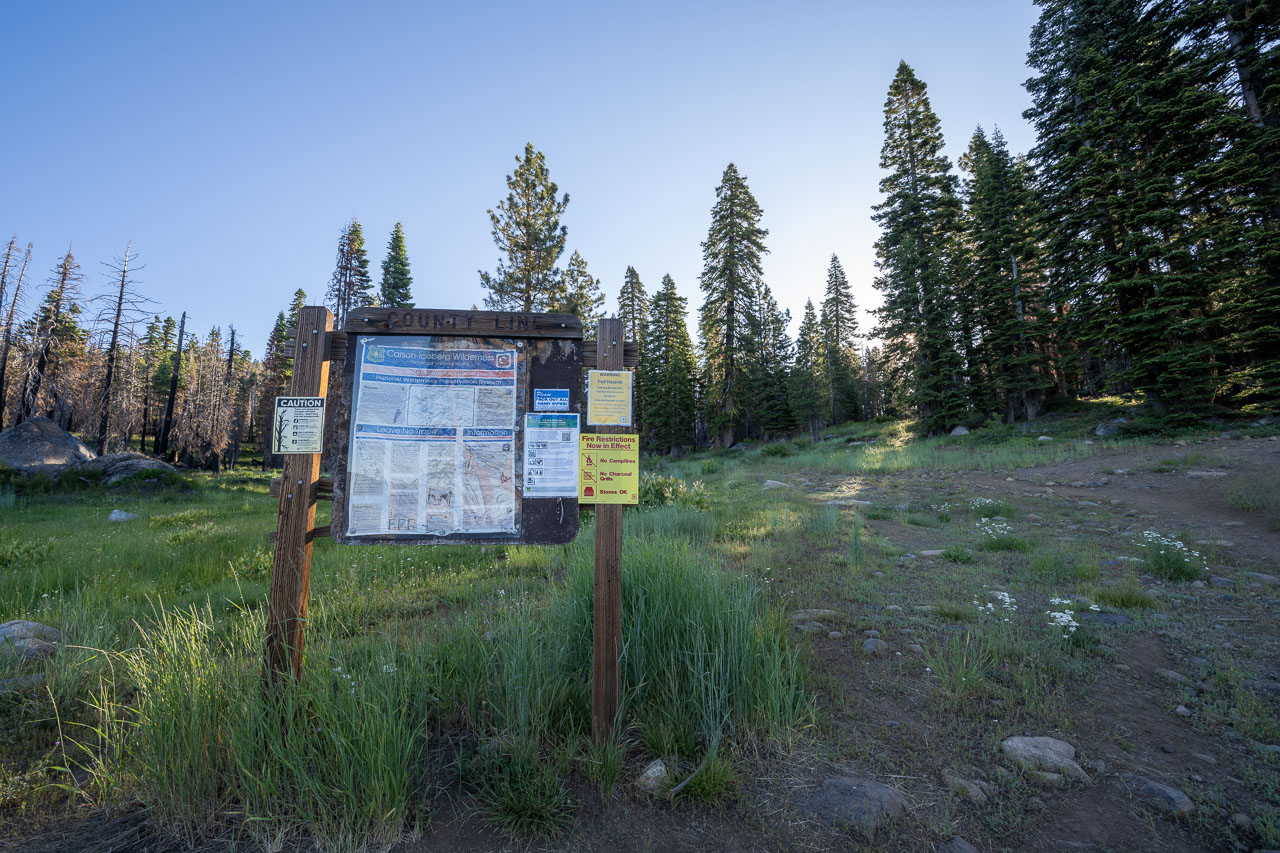
Starting from the County Line Trailhead. The trailhead is also shown as Sword Lake Trailhead on some maps.
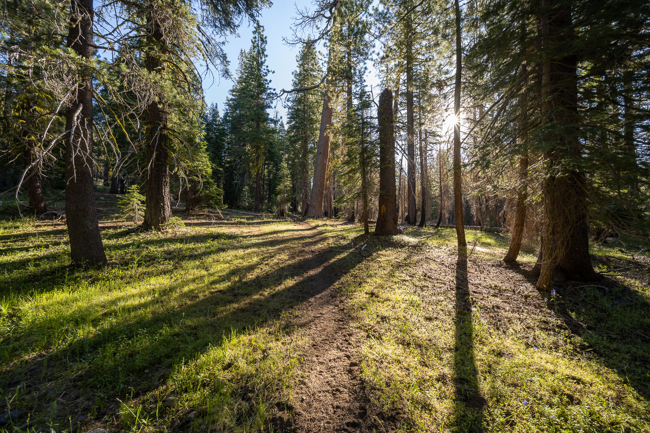
There are two trails that leave from the trailhead. The more obvious trail leads to Sword Lake. We took the less obvious trail that led into the McCormick Creek drainage.
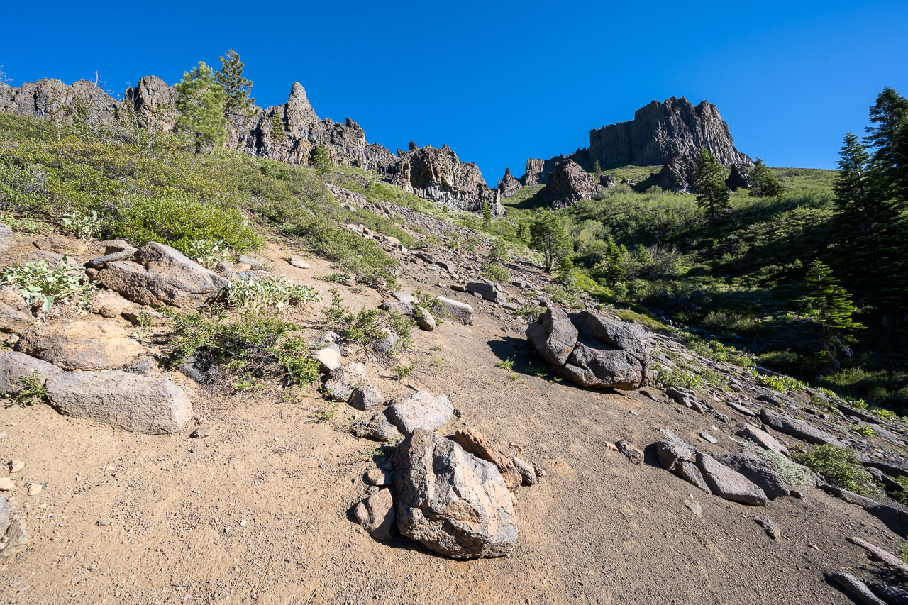
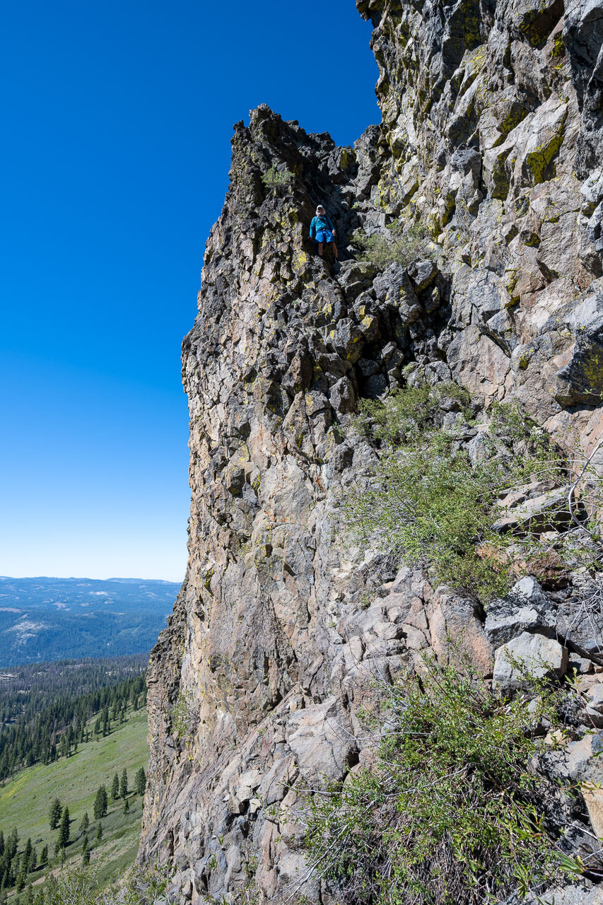
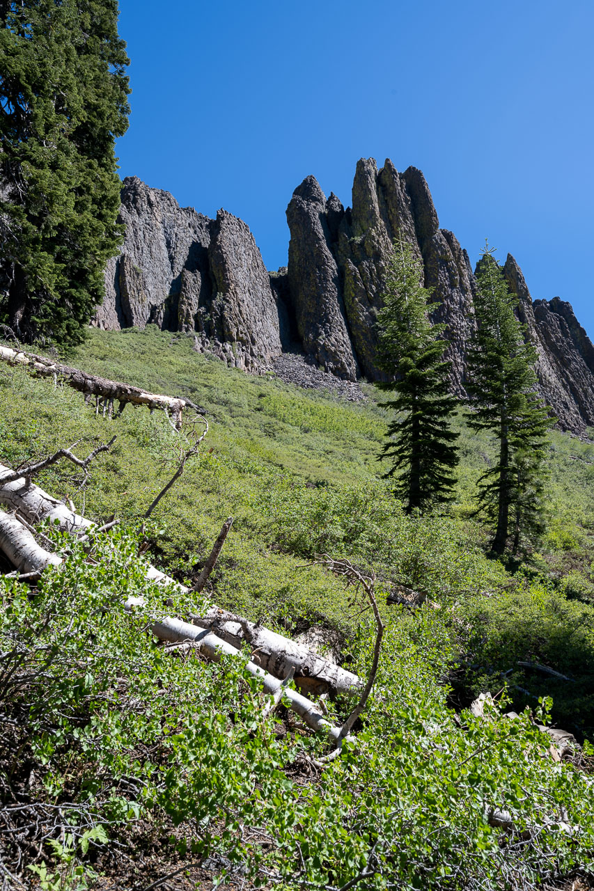
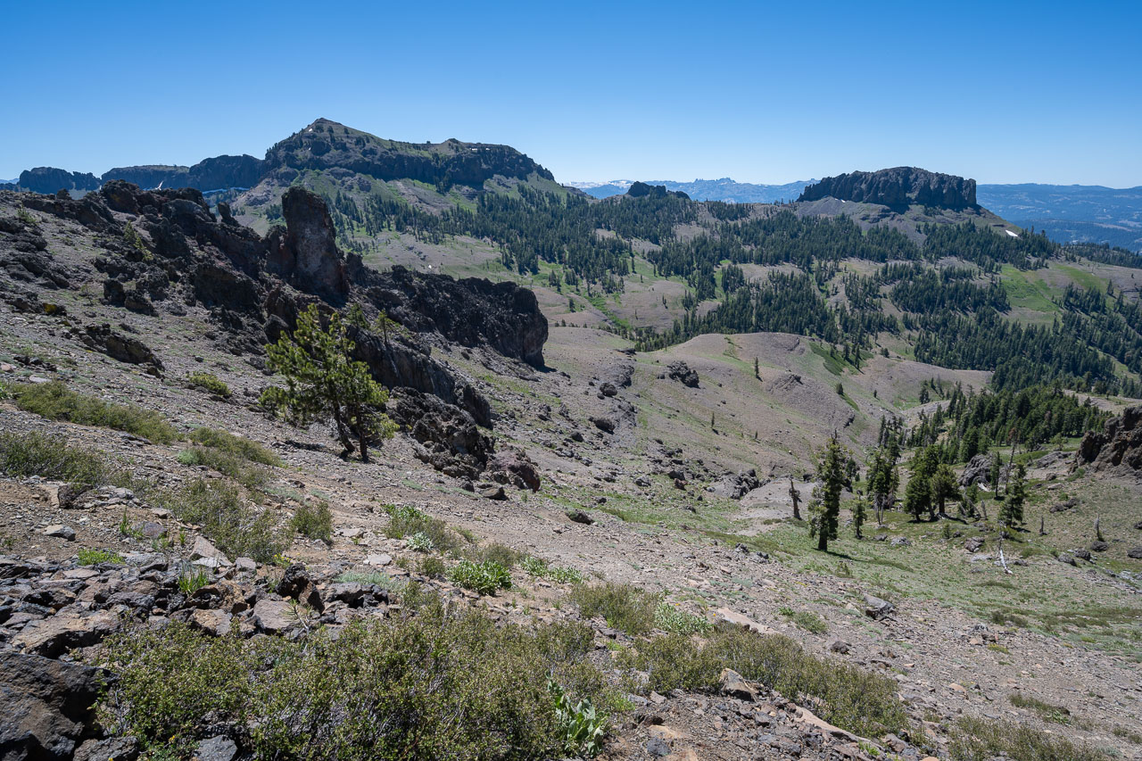
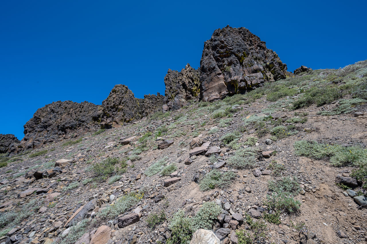
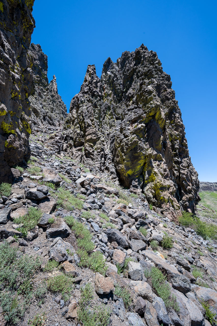
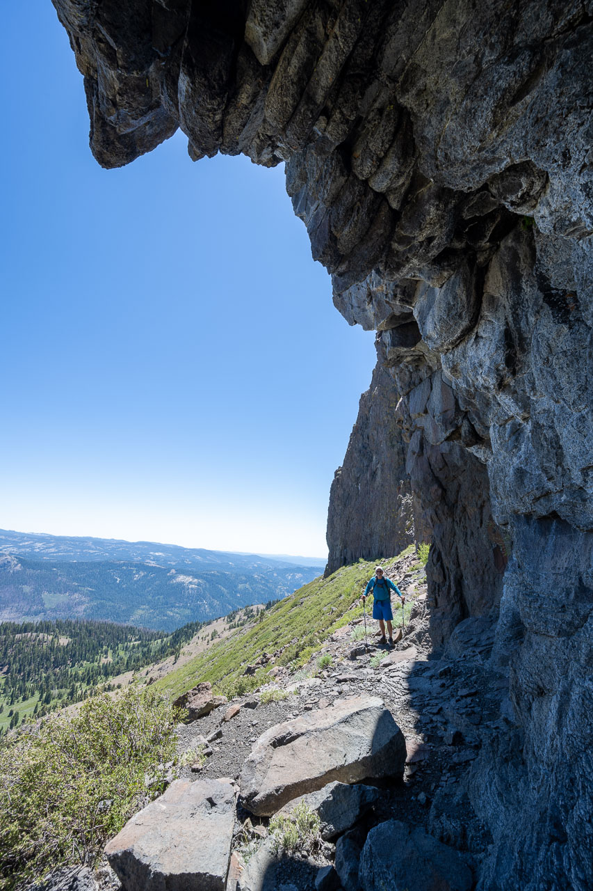
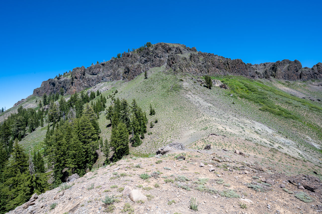
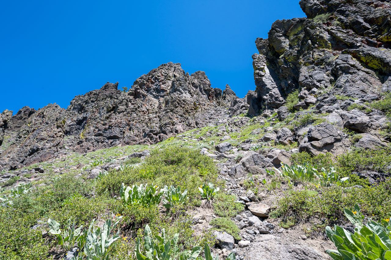
Easy Class 2 gap in the cliffs leading to Dardanelles West. By staying on the west side of the small drainage we avoided the worst of the brush.
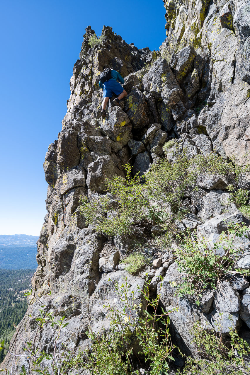
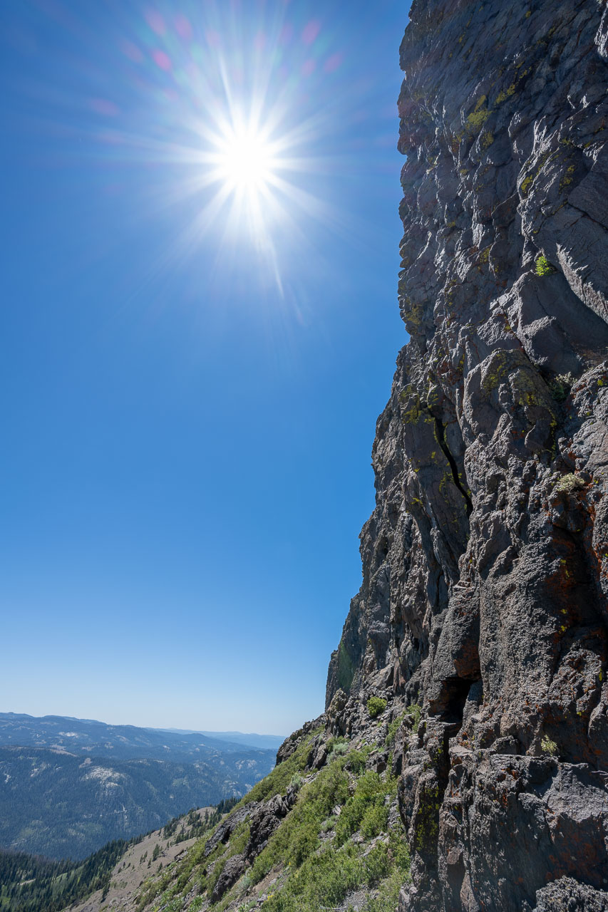
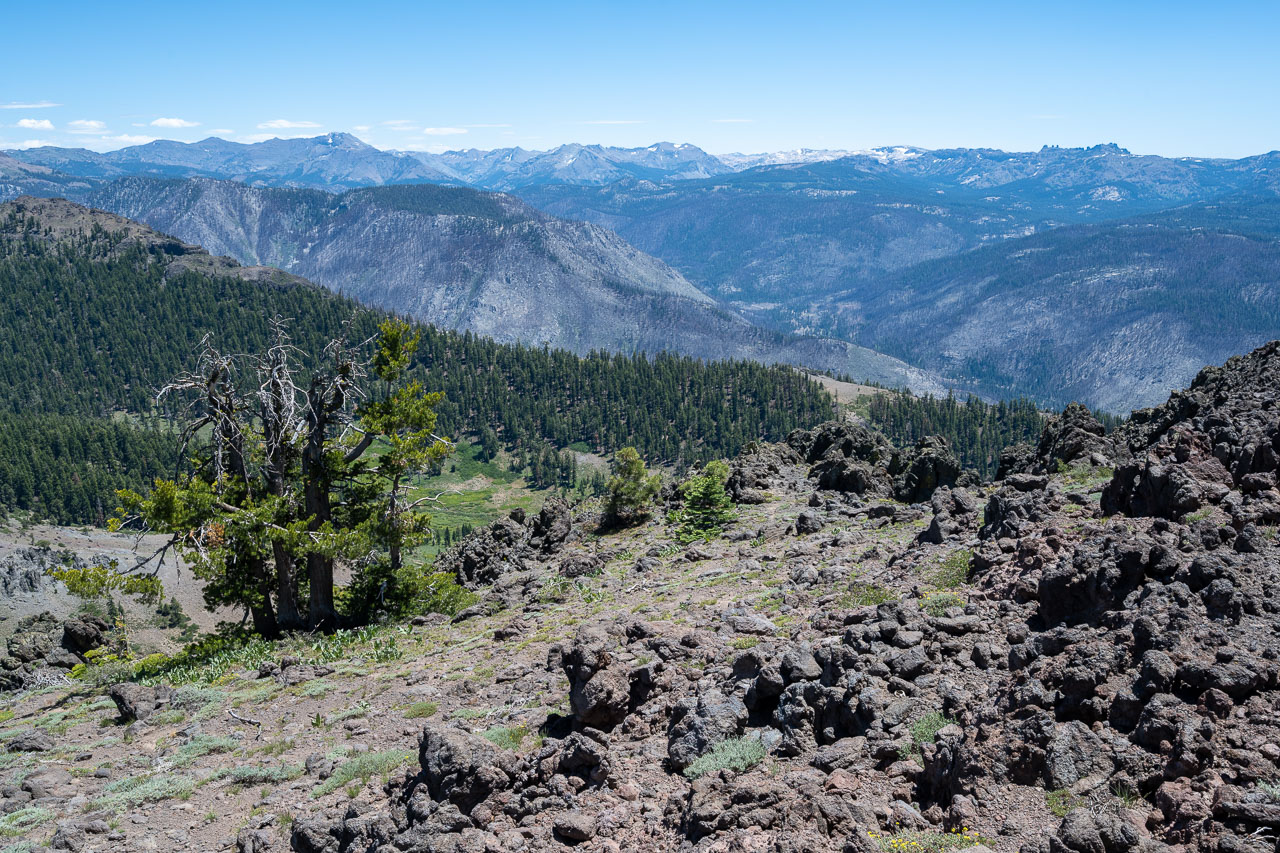
Light brush on the way to the summit.
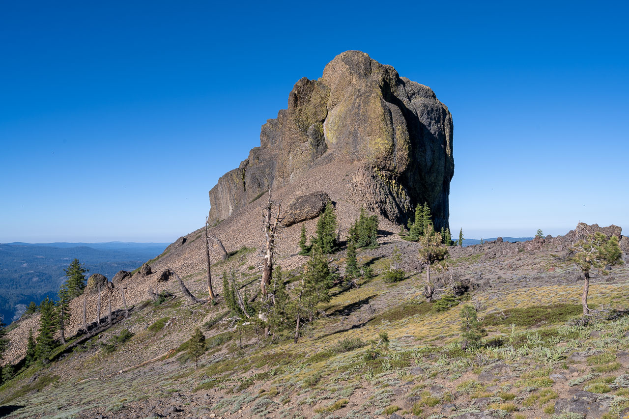
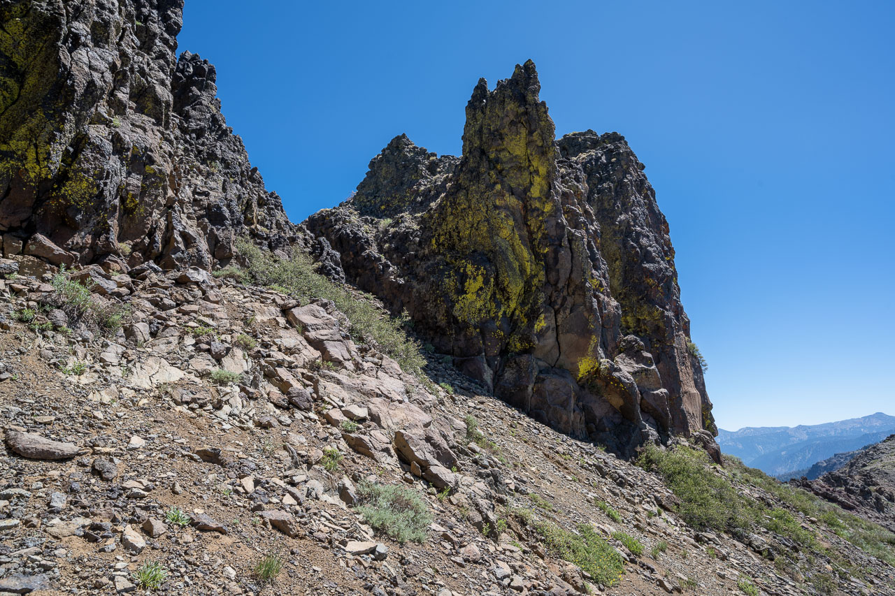
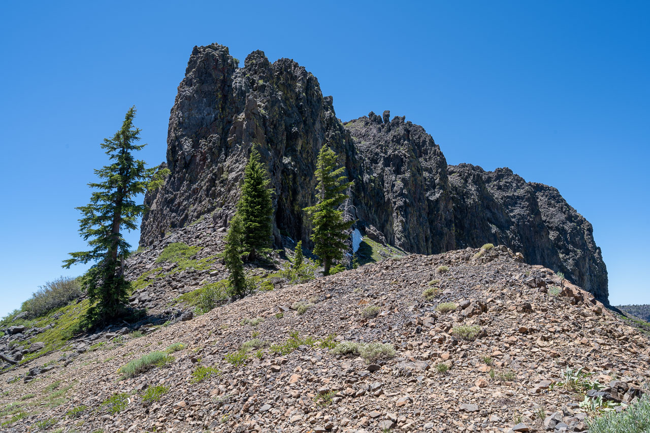
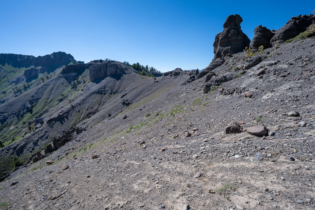
Volcanic pinnacle south of the summit.
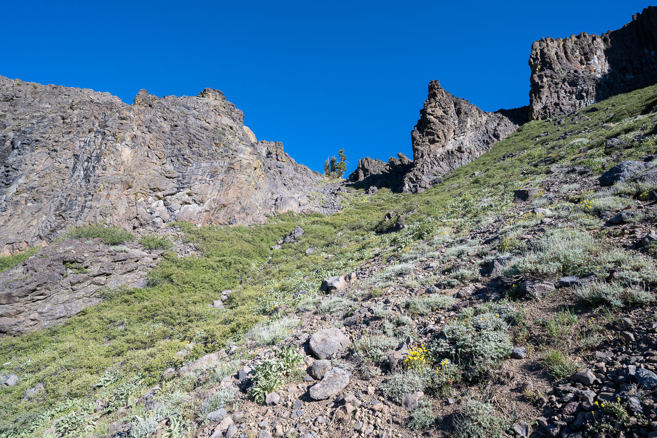
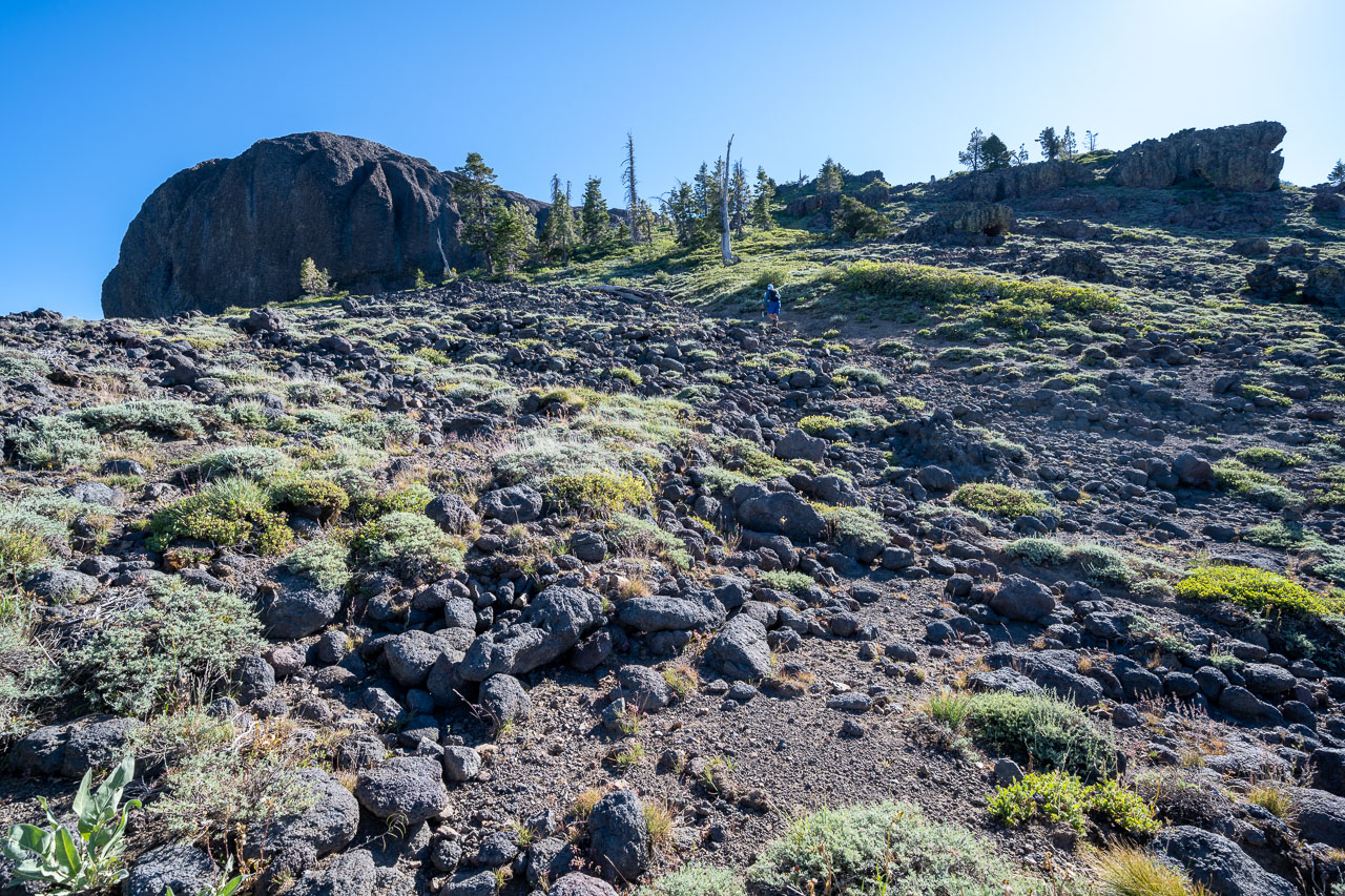
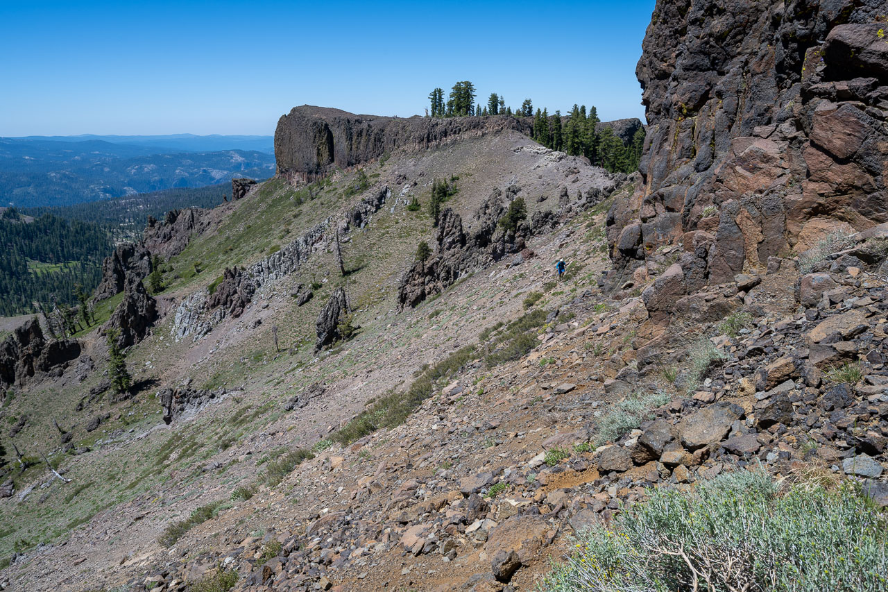
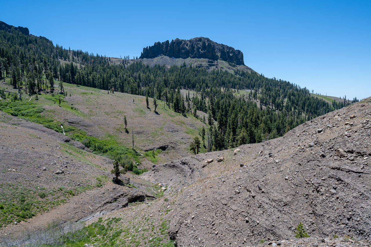
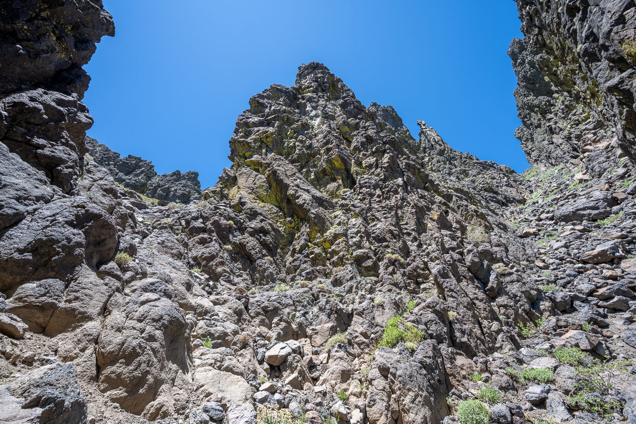
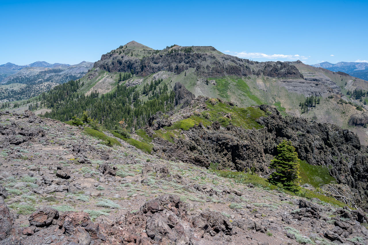
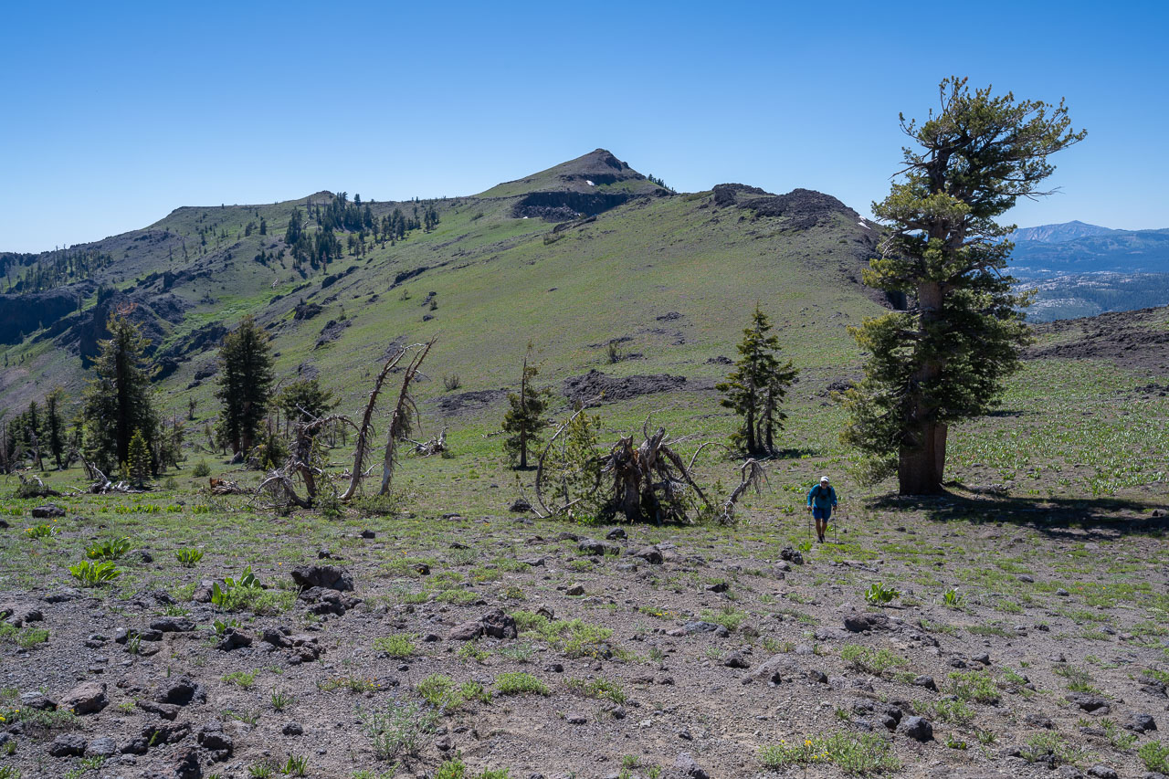
Easier terrain leading to the summit.
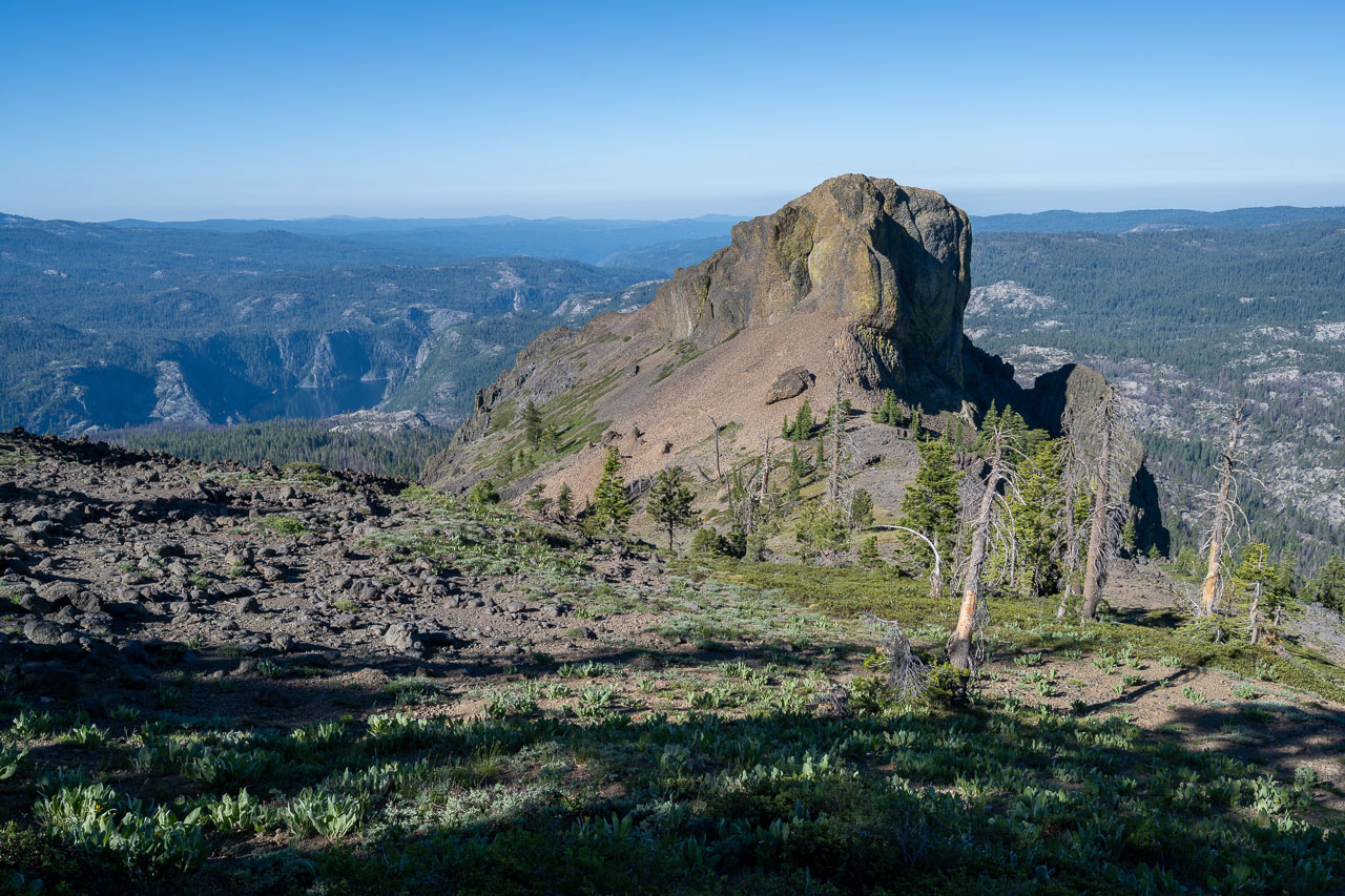
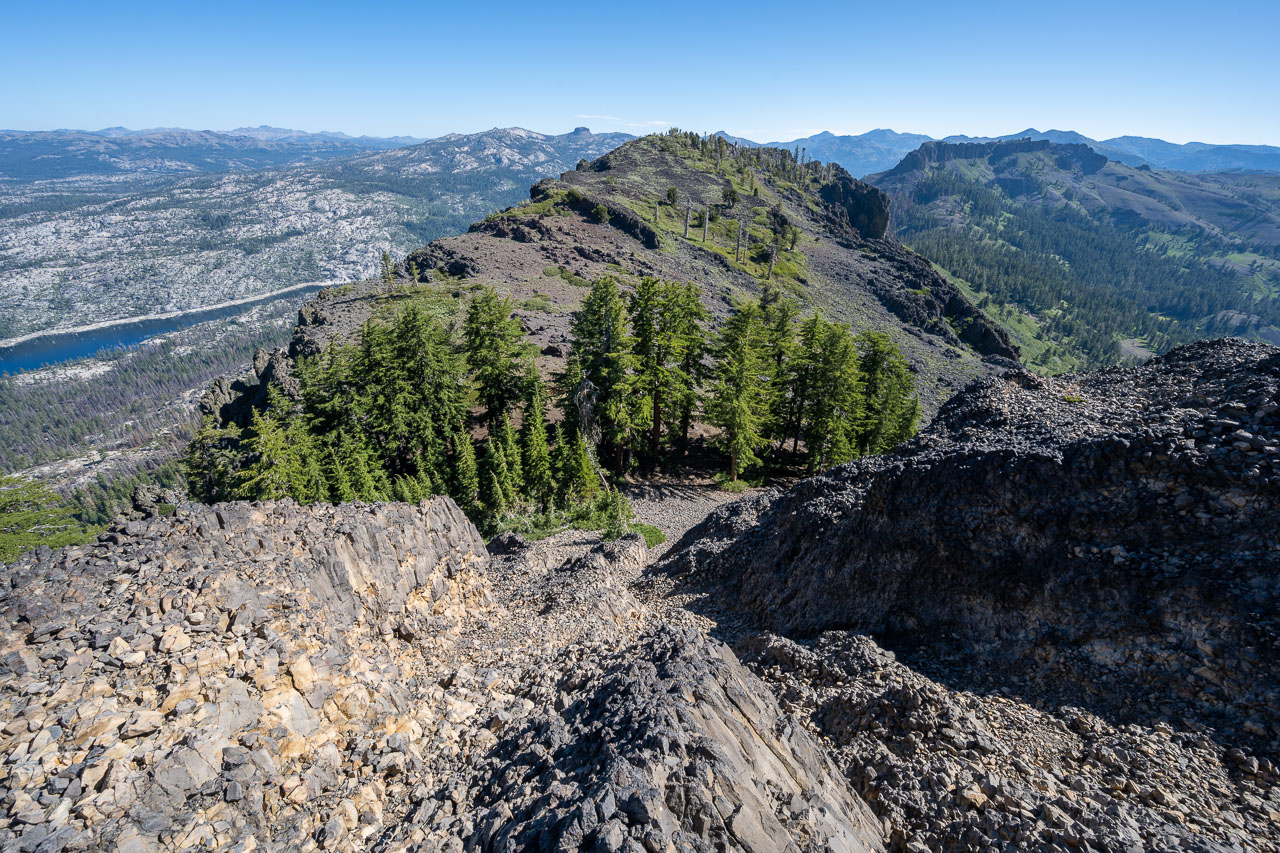
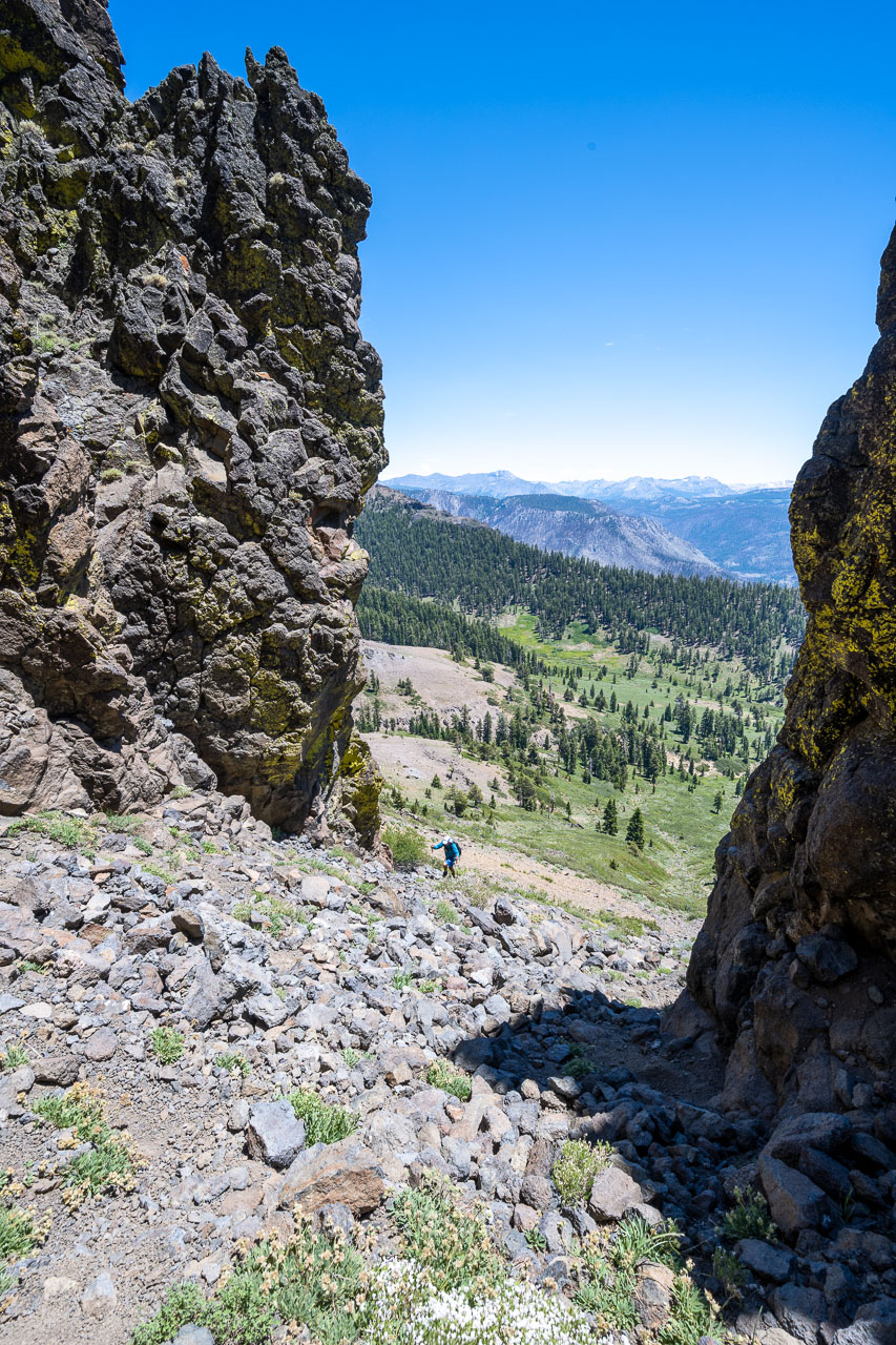
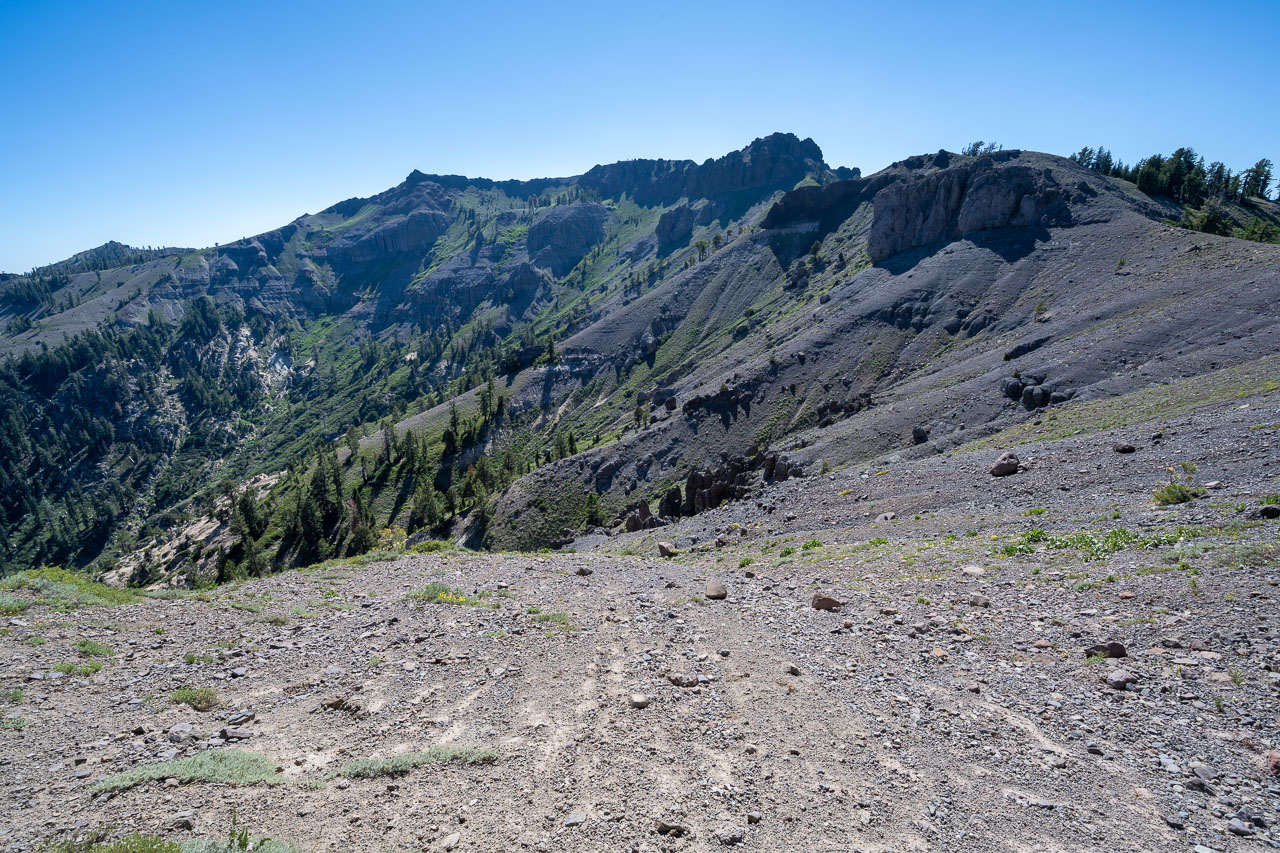
View back down the slope from near the summit.
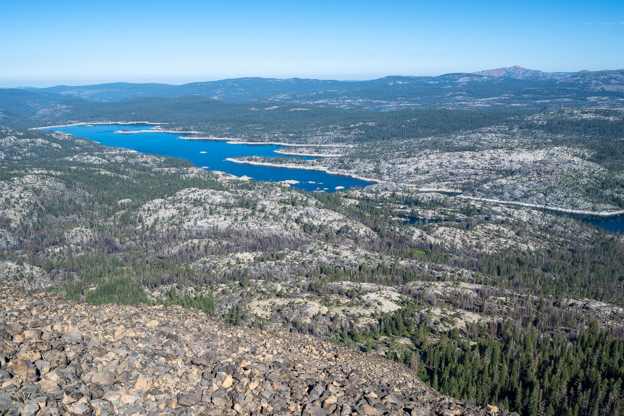
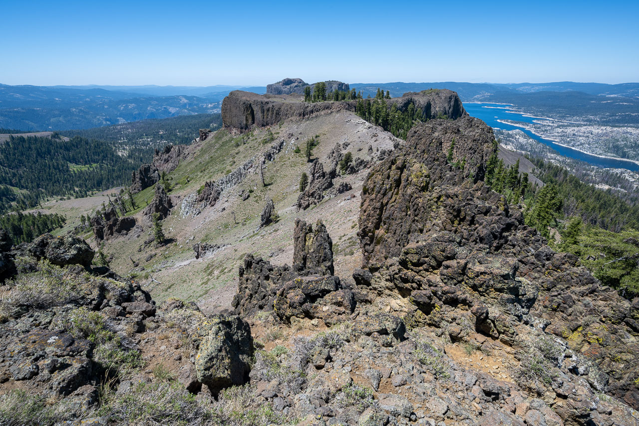
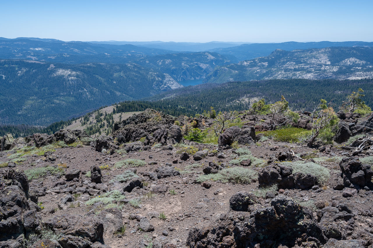
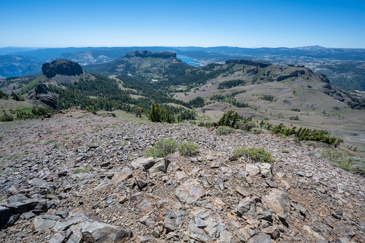
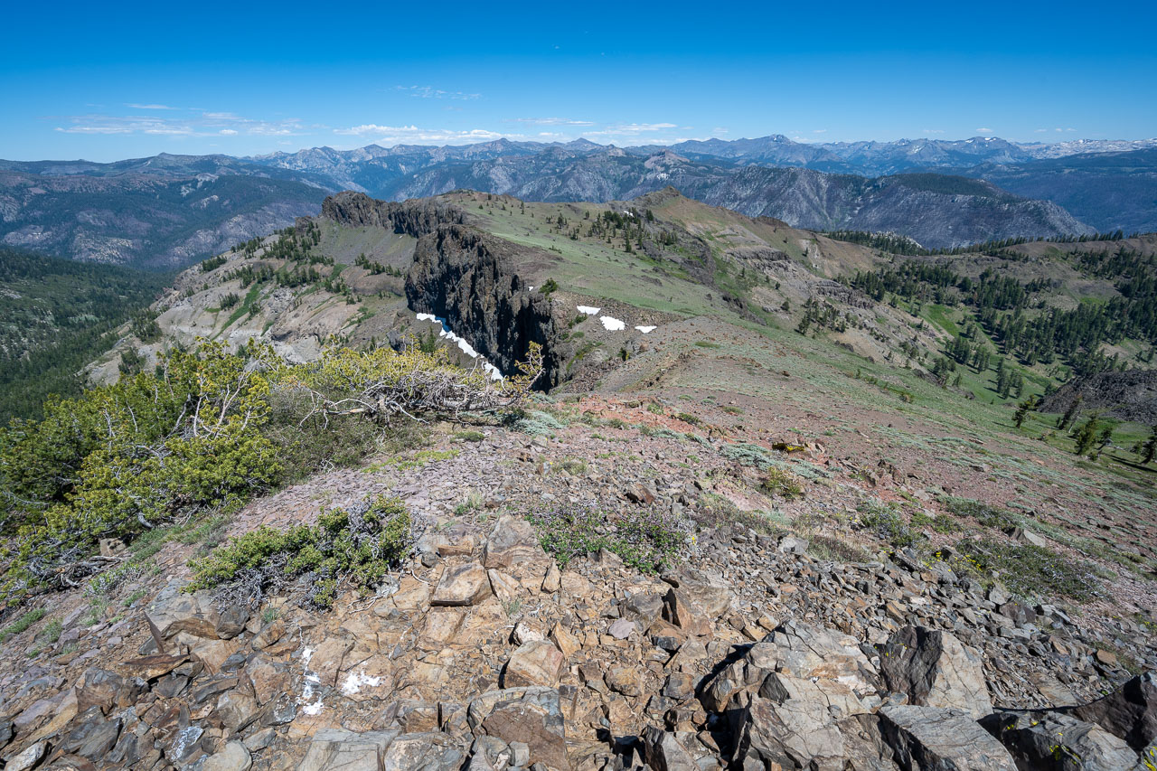
Spicer Meadow Reservoir from near the summit of Dardanelles West.
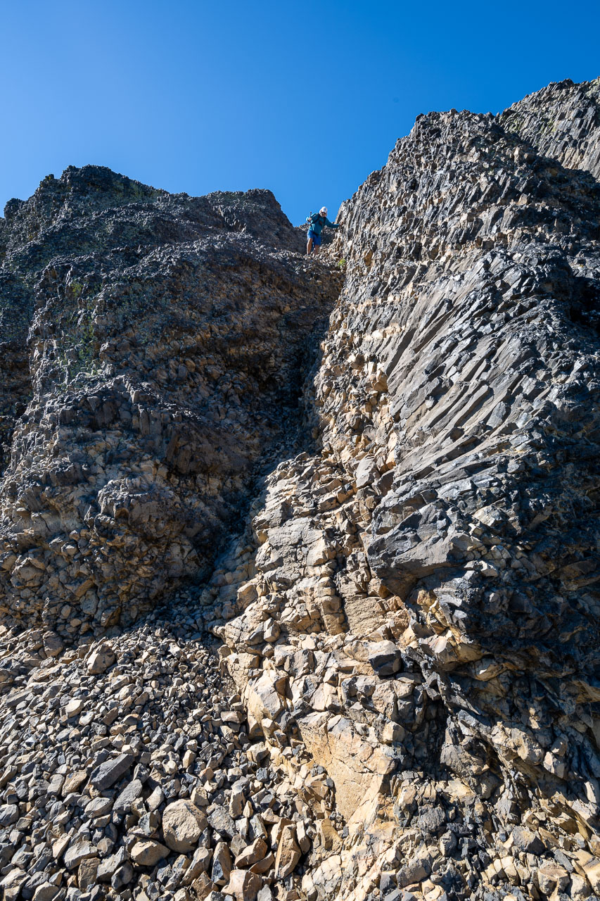
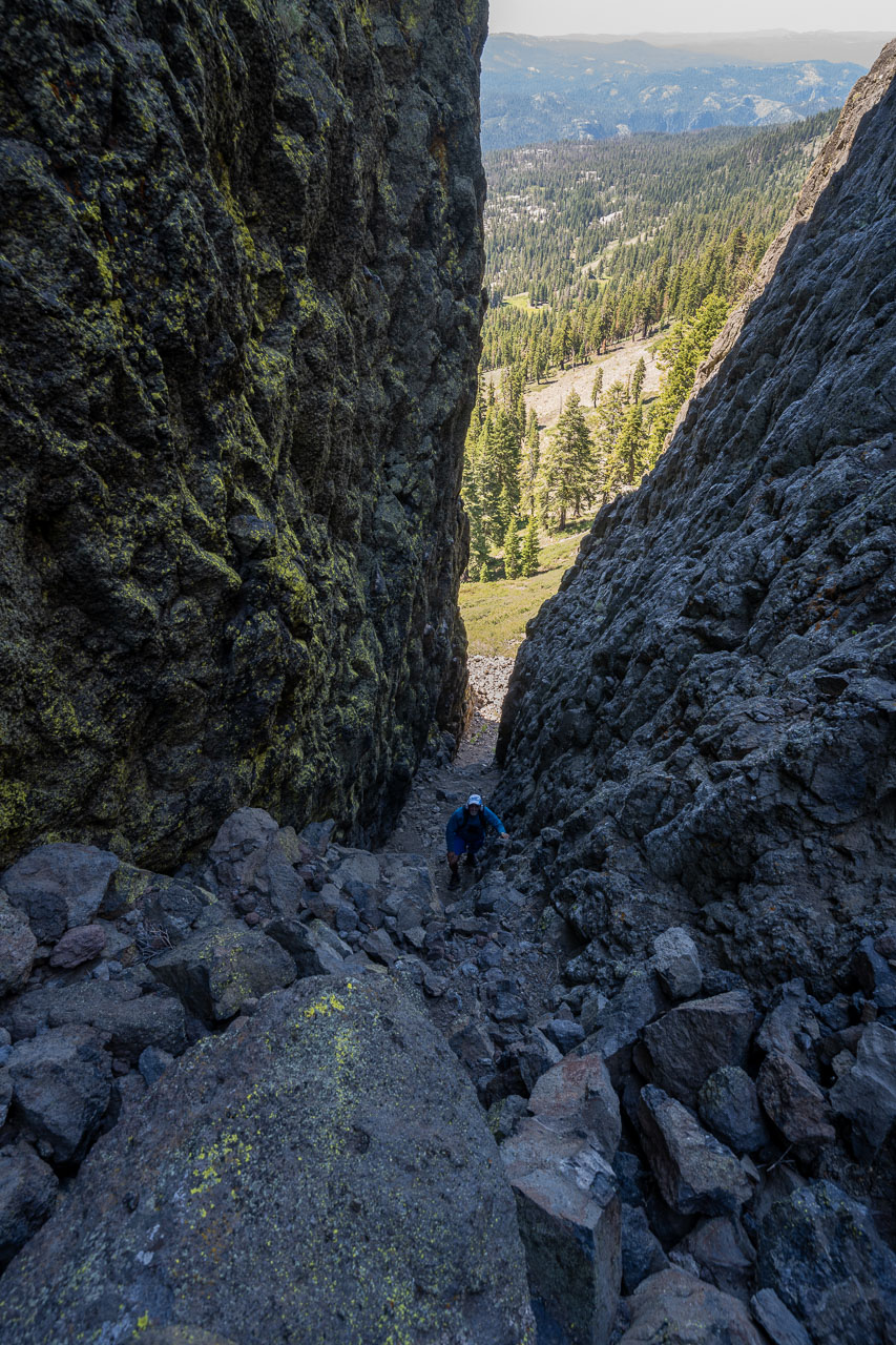
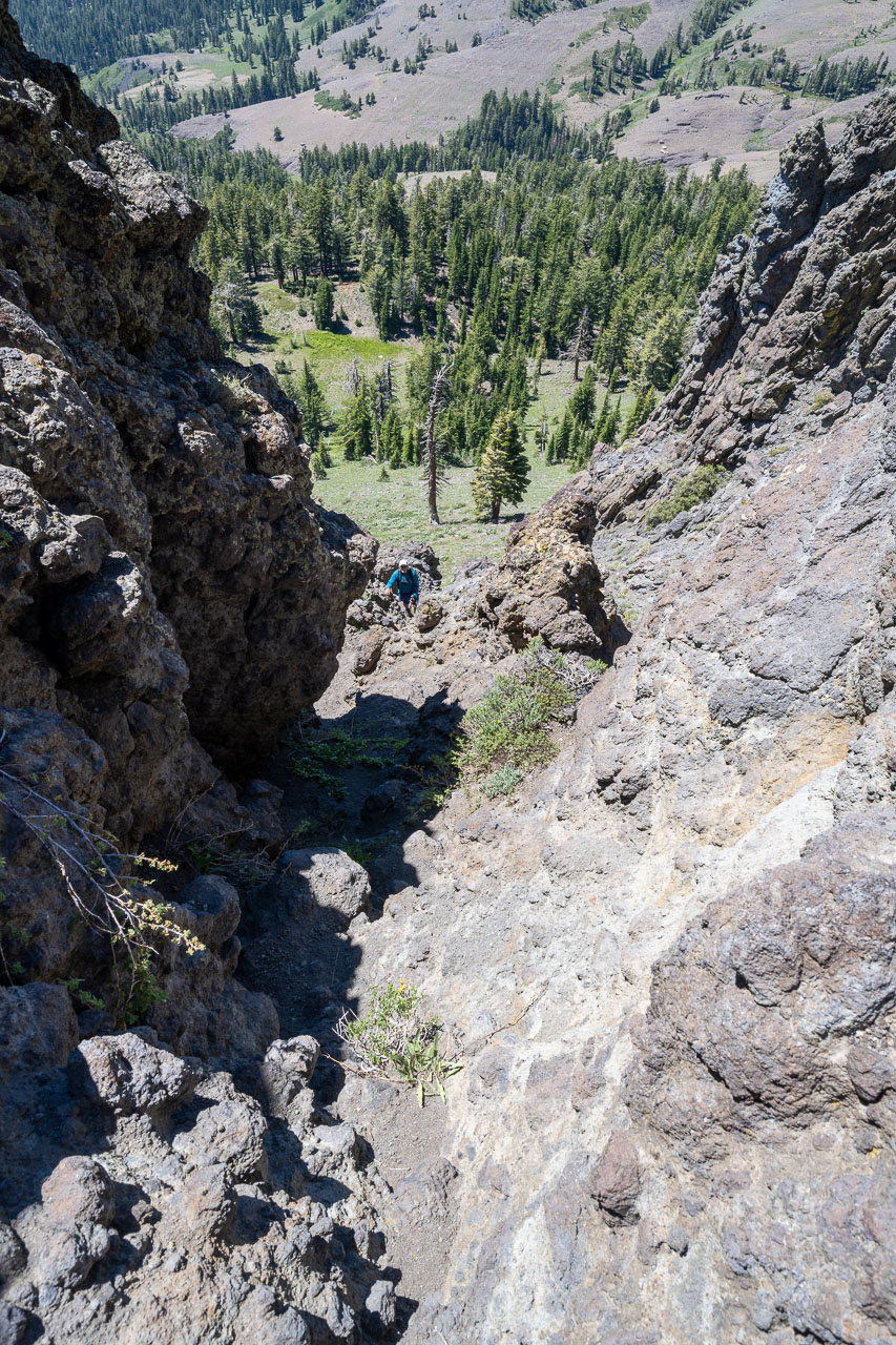
Looking down the Class 3 chute on north side of Dardanelles West.
Class 3 chute from below.
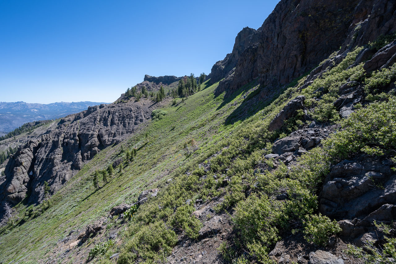
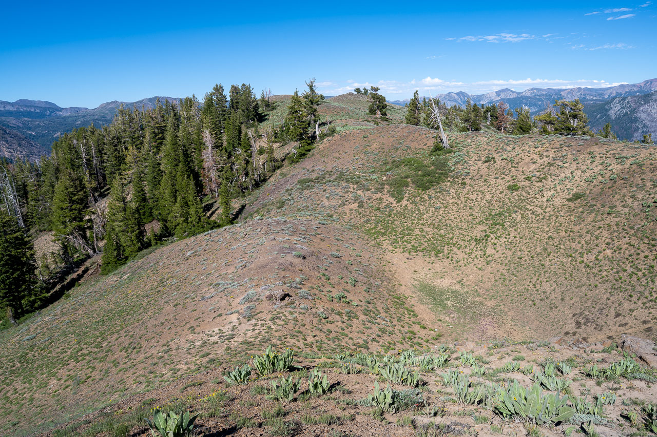
Continuing along the upper plateau of Dardanelles West.
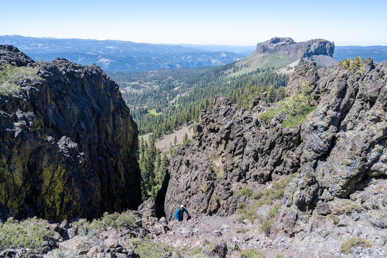
View down the Class 4 chute on Dardanelles West. This seemed to be the only reasonable way down on the far north end of the plateau. There was an easier Class 2 alternative closer to main summit (shown in the map link).
Class 4 downclimb from below.
The moves were not difficult but there was some exposure.
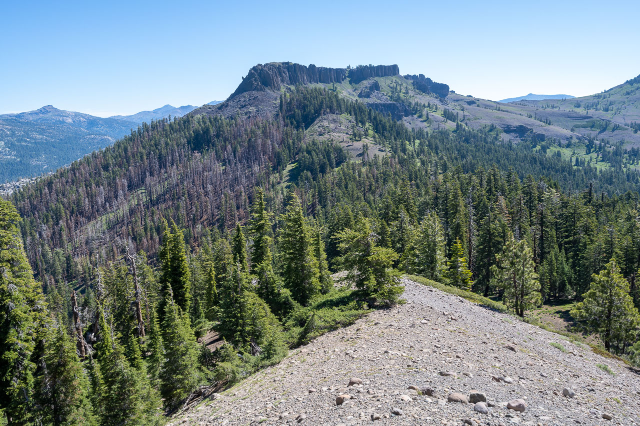
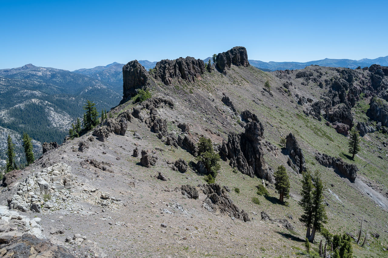
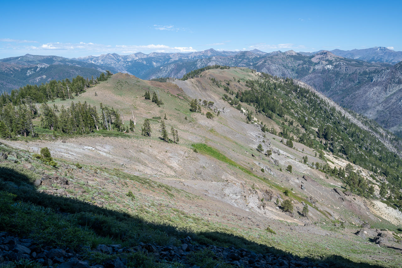
Continuing on the ridge to Peak 8980.
View back to Dardanelles West.
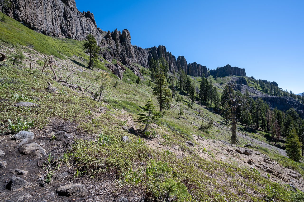
Volcanic cliffs on the way to Peak 8980.
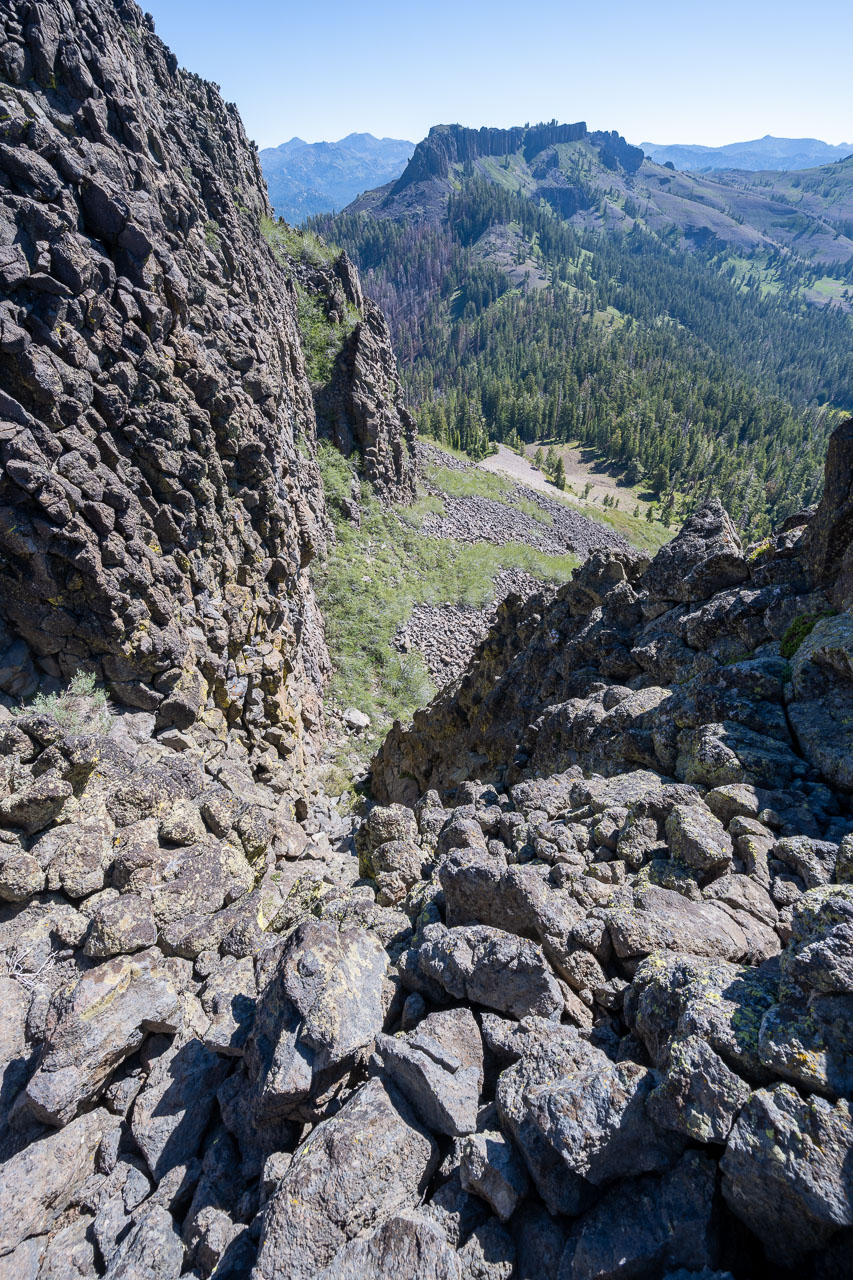
Class 3 chute that we used to gain the volcanic ridge west of Peak 8980.
View down the Class 3 chute.
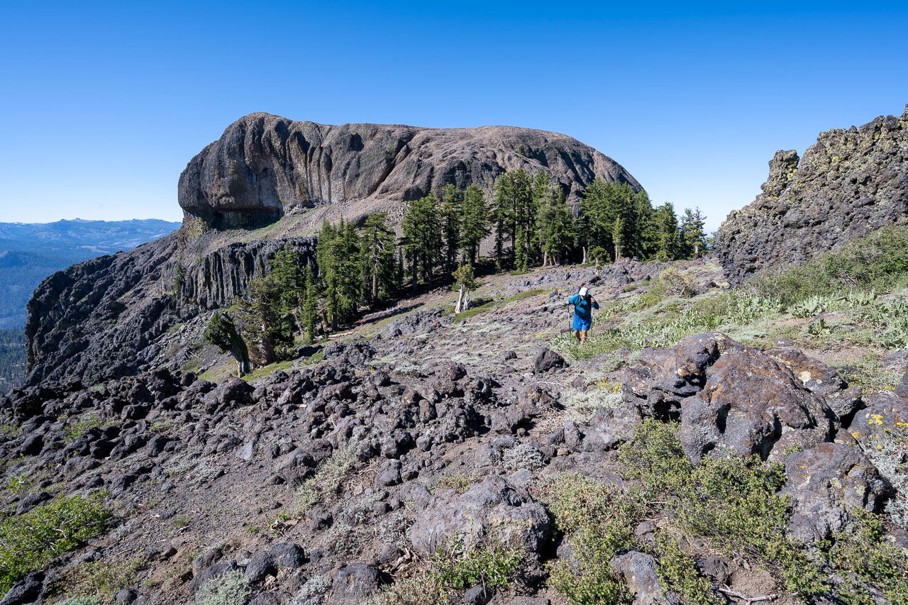
Final scramble up to the volcanic ridge. Dardanelles West in the background.
Peak 8980 ahead.
Dardanelles Cone (left) and Peak 9070 (right).
Peak 8980 looked difficult from a distance, but was actually pretty straightforward Class 2.
Looking back along the ridge leading to Peak 8980.
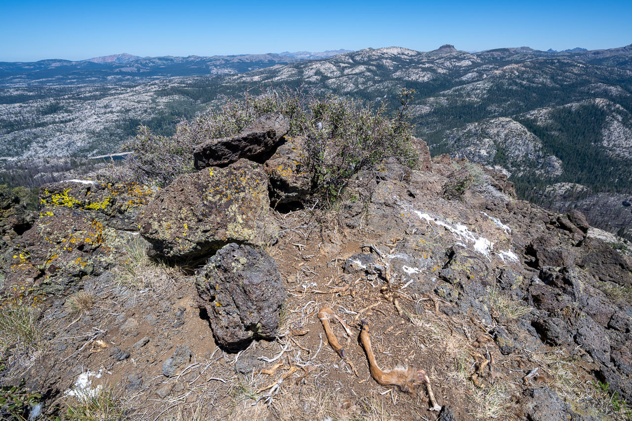
Morbid summit view from Peak 8980. The leg bones were all that was left of a small deer that had been eaten at the summit.
View back to Dardanelles West from the summit.
Peak 8980 from below.
Peak 9070 ahead.
Peak 9070 looking difficult from the east.
Vertical south face of Peak 9070.
Class 2 chute on the southeast side of the peak.
The left branch leads easily to the summit.
Starting up the Class 2 chute.
Dardanelles Cone from the summit of Peak 9070.
Sierra Crest in the distance.
Donnell Lake in the distance.
Overhanging volcanic cliff on the south side of Peak 9070.
South ridge of Dardanelles Cone.
Class 3 chute leading to the summit.
View down the Class 3 chute.
Peak 9070 (left), Dardanelles West (center), and Peak 8980 (right) from near the summit of Dardanelles Cone.
View east from the summit.
View back to Dardanelles Cone.
Traversing below loose volcanic cliffs on the east side of Dardanelles Cone.
Ridge leading to Peak 9000.
Looking back across the loose volcanic slope crossed on the way to Peak 9000.
Cliffs on the east side of Dardanelles Cone.
Peak 9000 ahead.
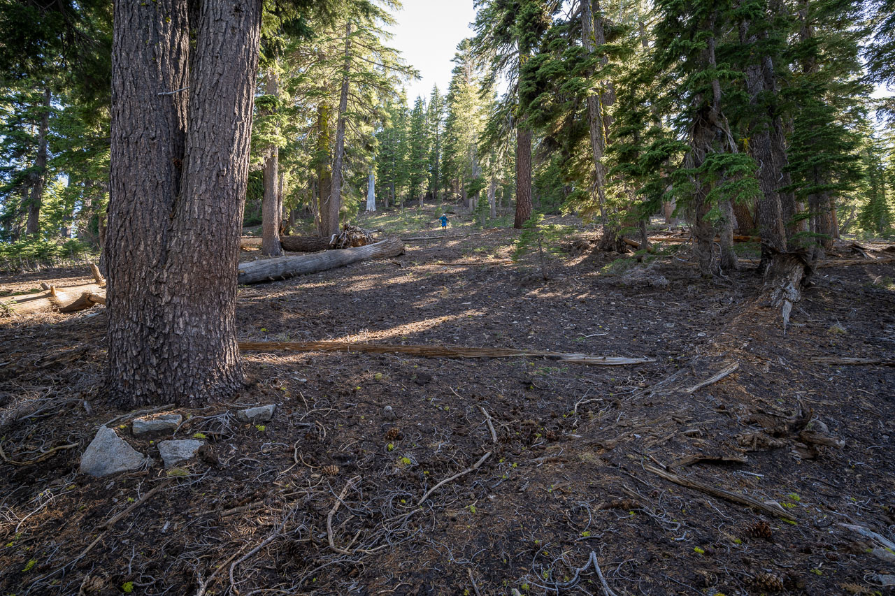
Descending through the forest to join up with the trail in Woods Gulch.
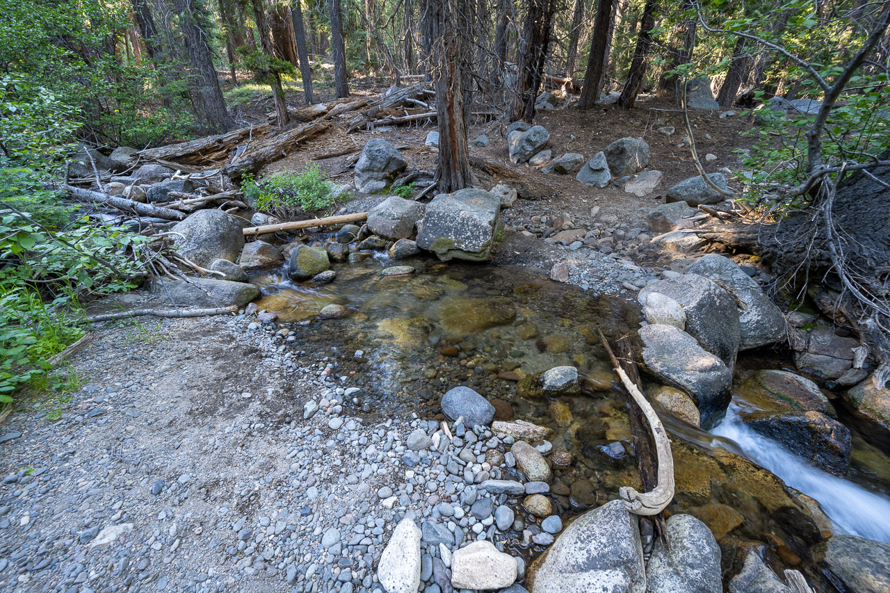
Creek crossing in Woods Gulch.
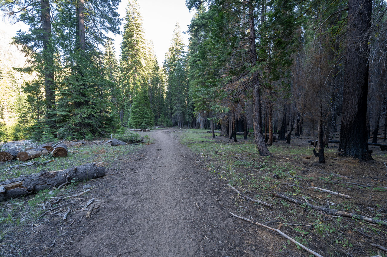
Following the trail along Arnot Creek back to the car.