Area:
Shasta National Forest
8.0 Miles, 2650 Gain
The first decent storm of the season was scheduled to hit Northern California over the weekend. Checking the forecast, it appeared there would be a window on Saturday morning prior to the main front moving in so I made plans to visit Mount Eddy, the Trinity County highpoint. I drove up the paved Parks Creek Road the night before and slept in my car near the trailhead.
I was expecting clear skies in the morning, but instead woke up to a light snow. As I was getting ready the snow began to intensify and the visibility dropped. I was considering abandoning my plans when the skies suddenly cleared. The brief storm left 1-2 inches of fresh snow that would mostly melt off by the time I got back to the car.
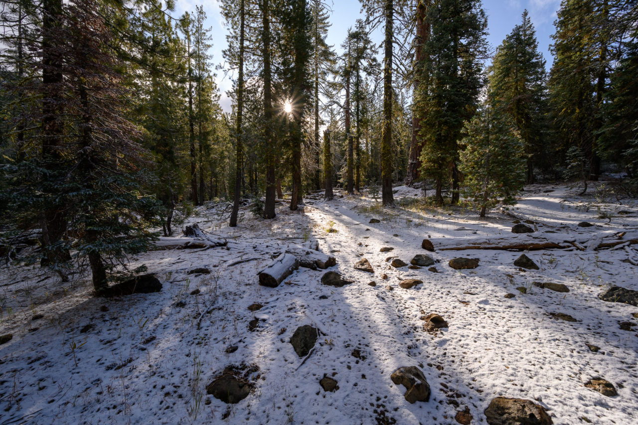
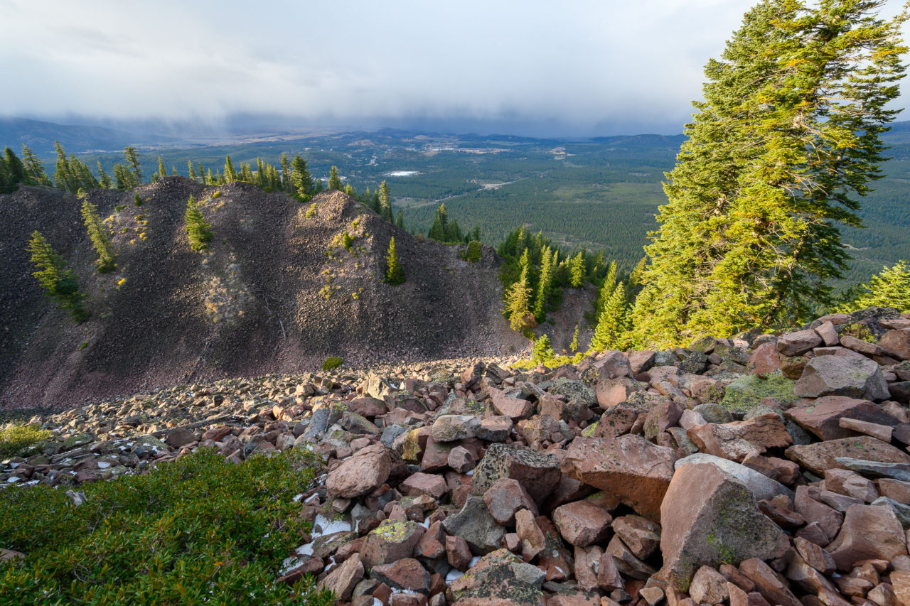
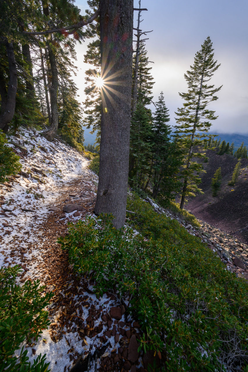
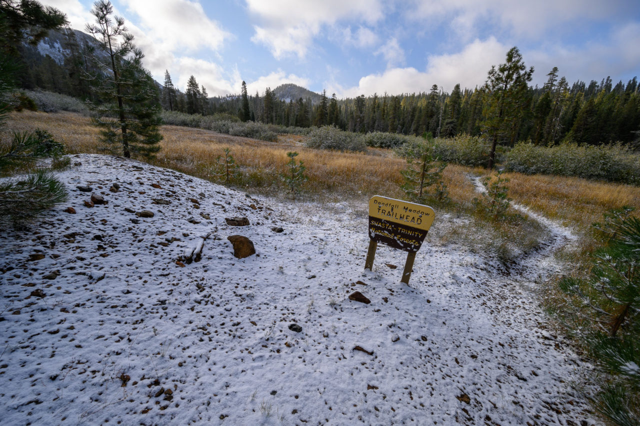
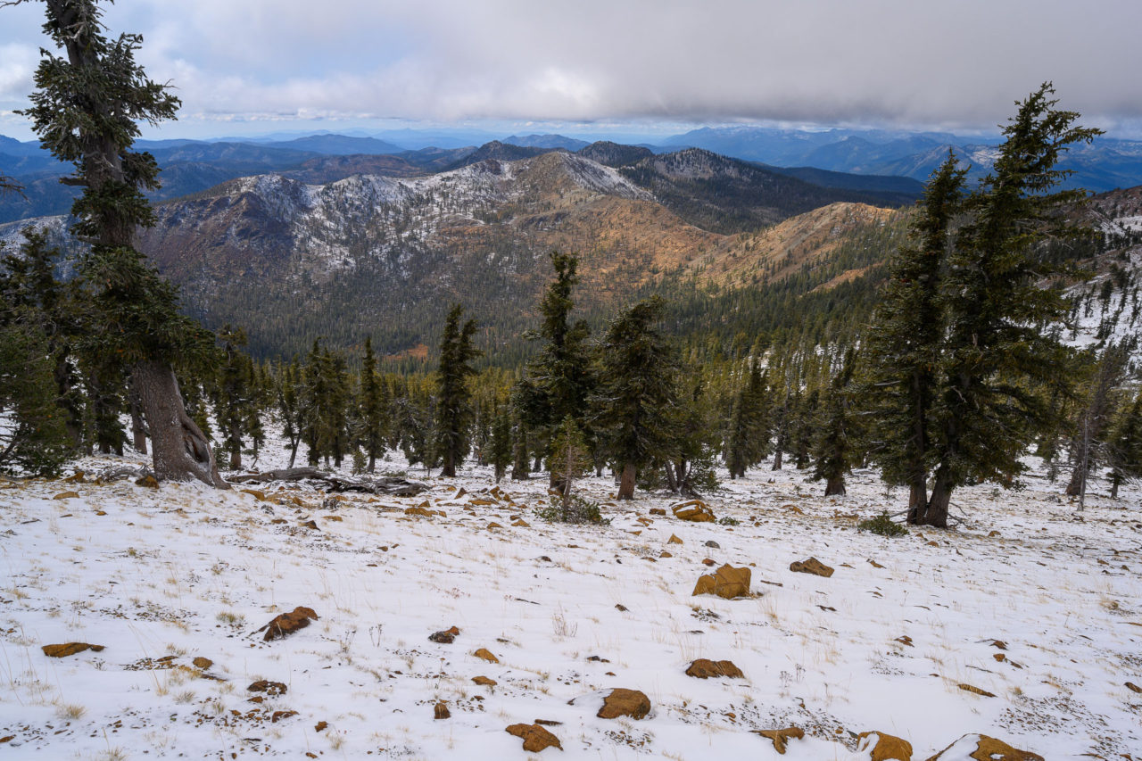
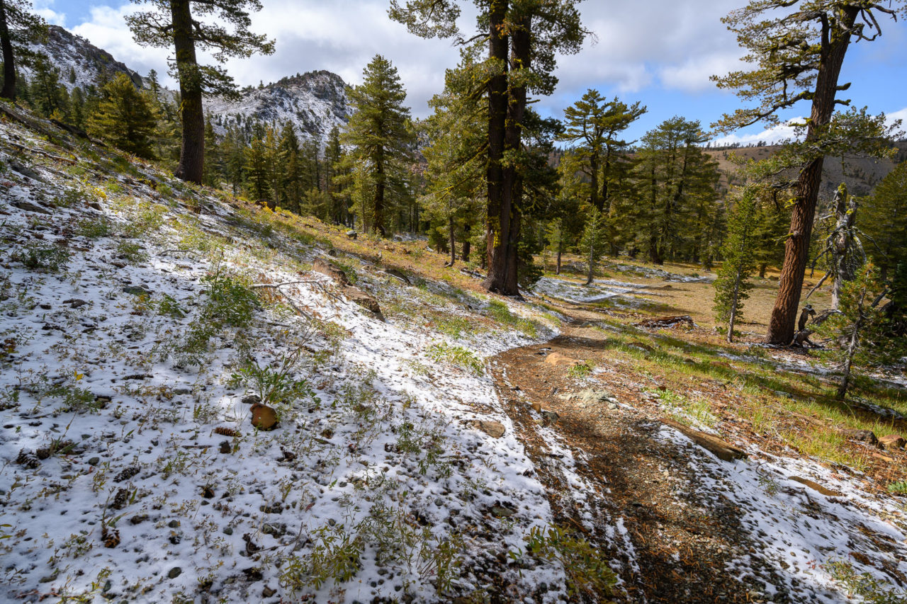
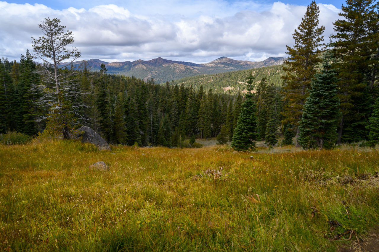
I started from the Deadfall Meadow Trailhead, finding that the trail was still easy to follow despite the snow. The trail climbed gradually for several miles past Deadfall Lakes before reaching the saddle with Mount Eddy. The wind intensified at the saddle and I had to pause to put on all of my layers.
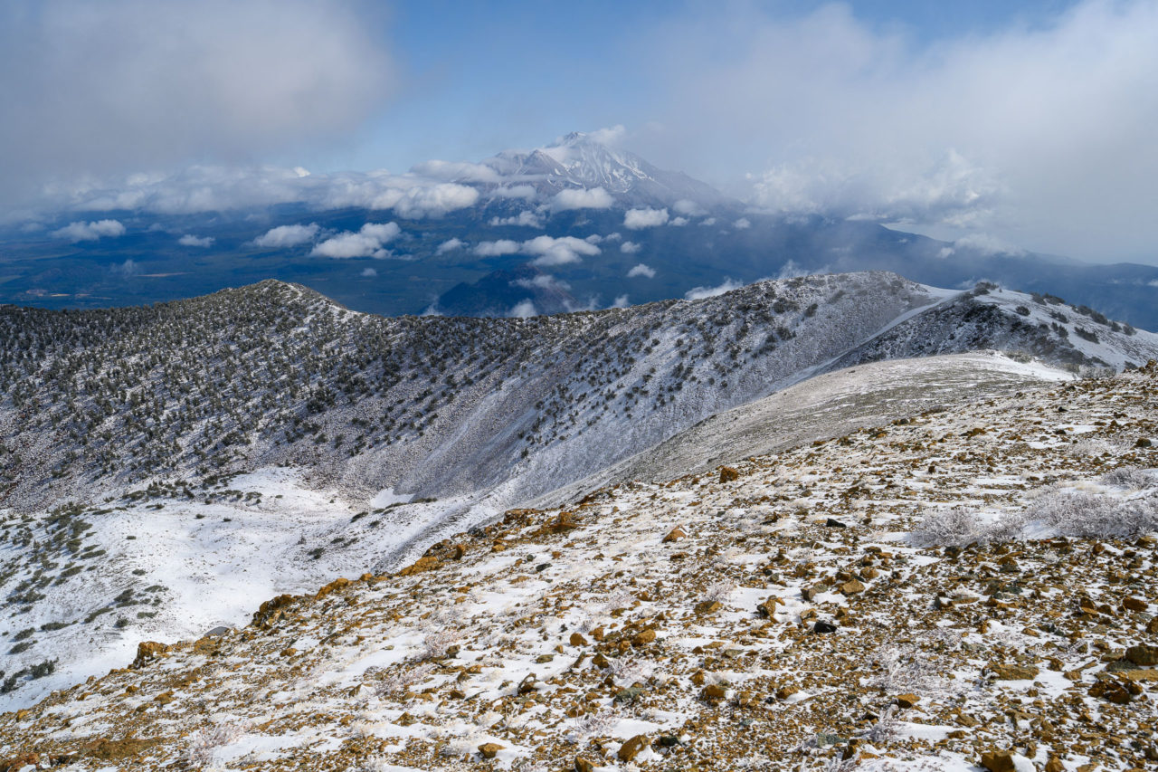
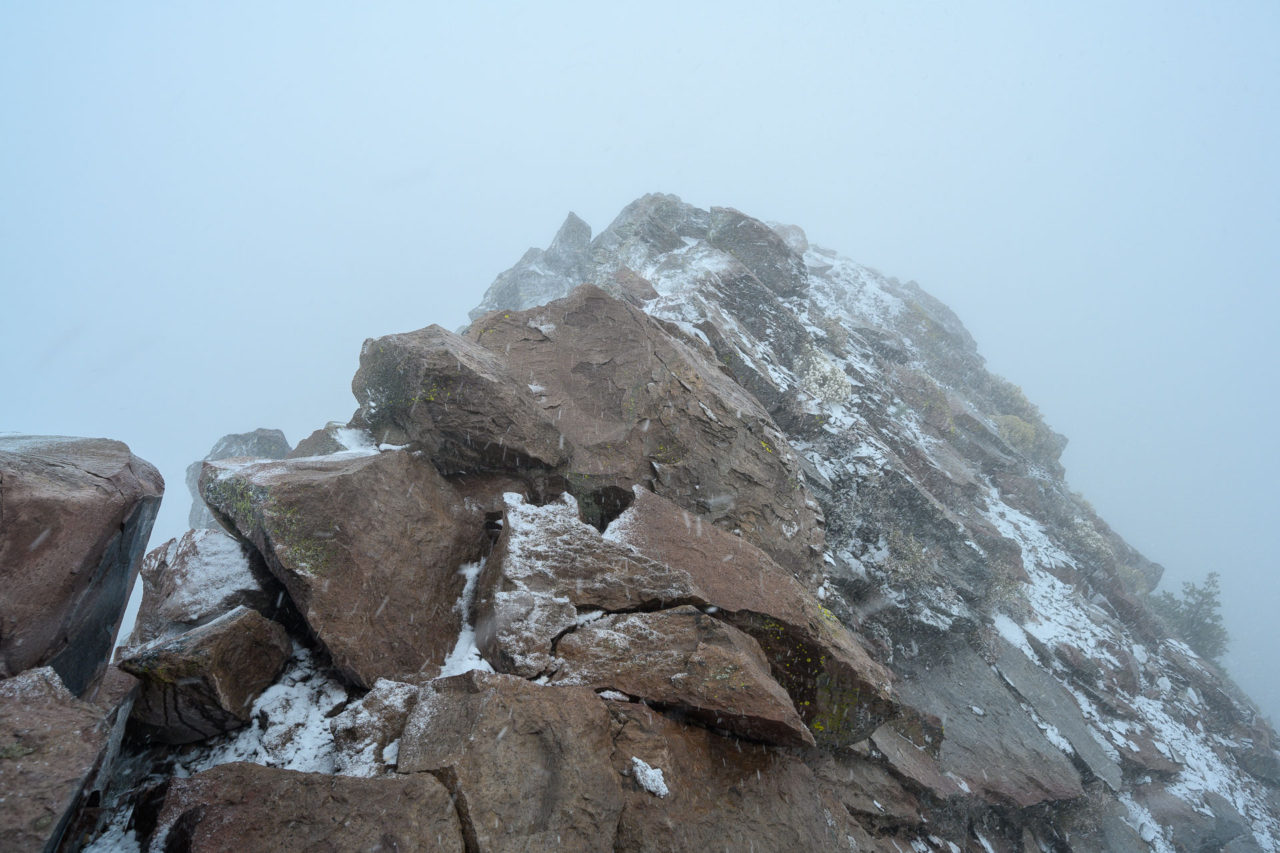
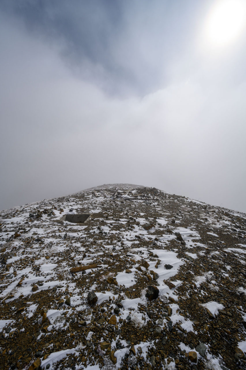
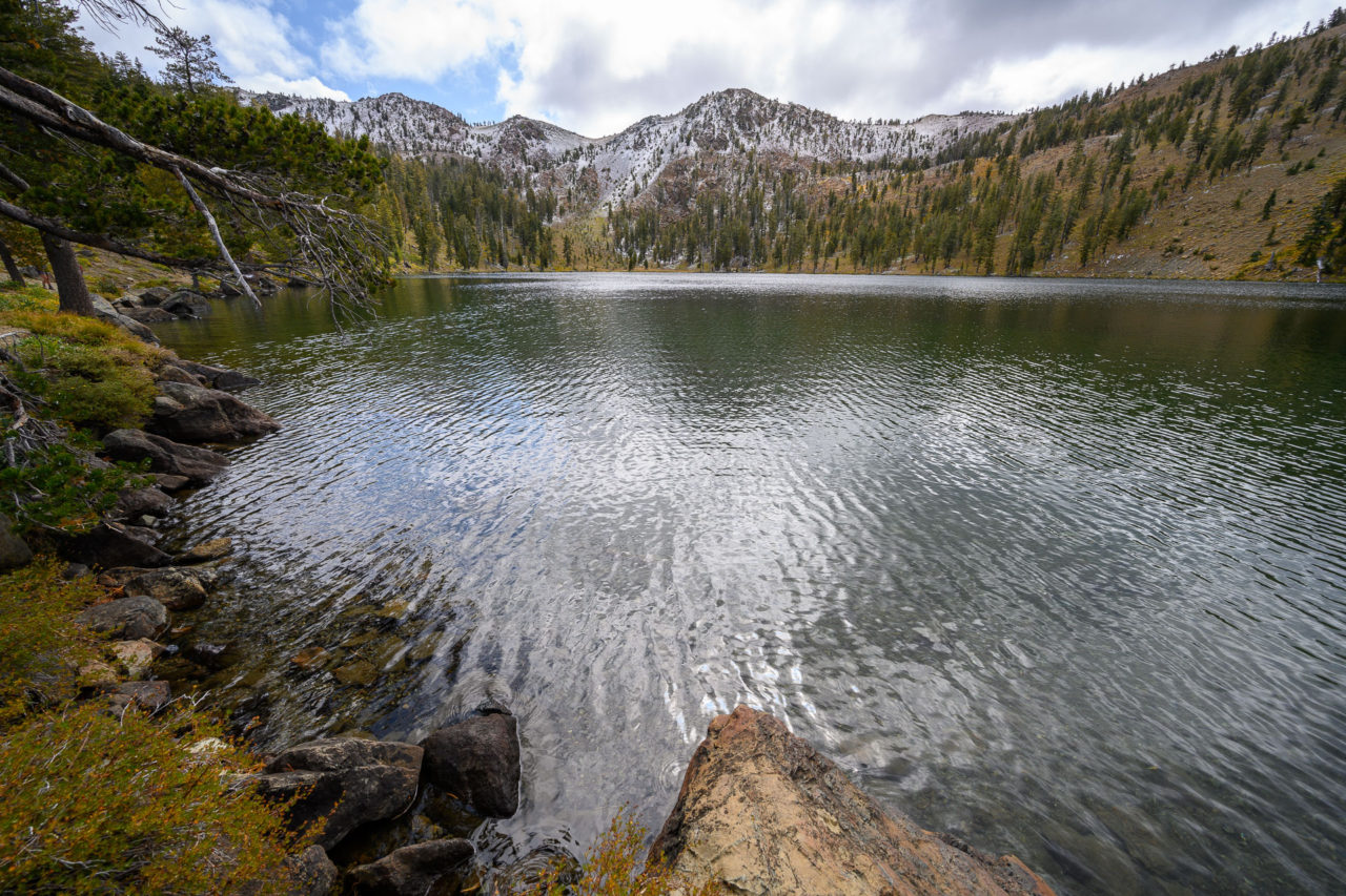
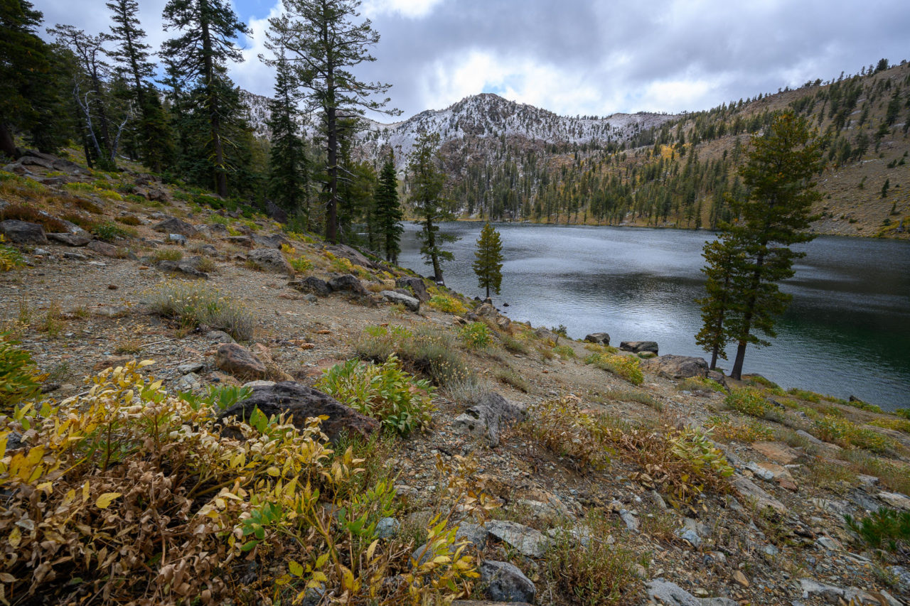
Mount Eddy had remained in the clouds for much of the approach. When I arrived at the summit the visibility had not improved, extending perhaps 100 feet in any direction. The wind was fairly intense at the summit and quite cold, but just as I was starting to head down the conditions began to clear and I was able to get a few pictures of Mount Shasta across the valley.
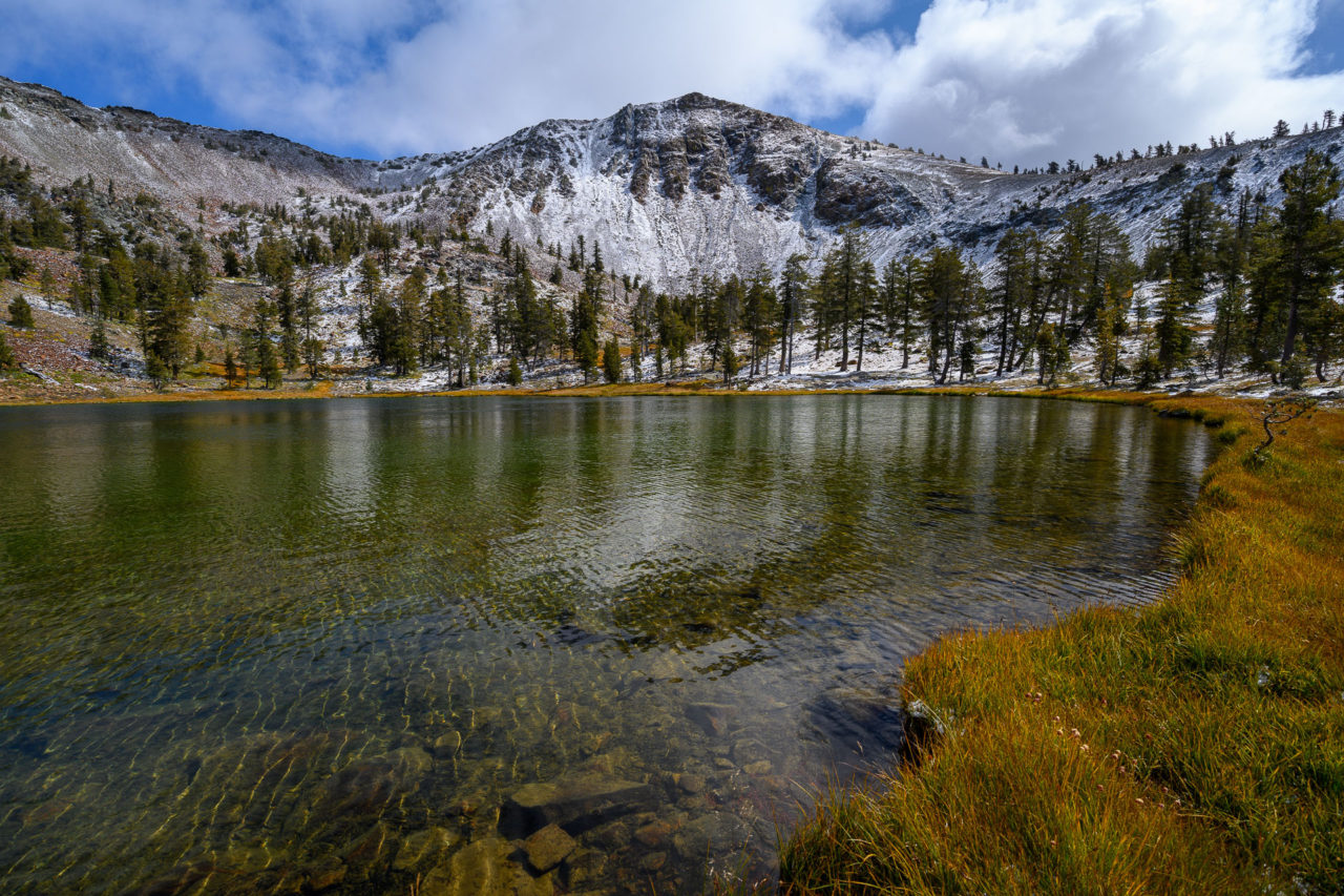
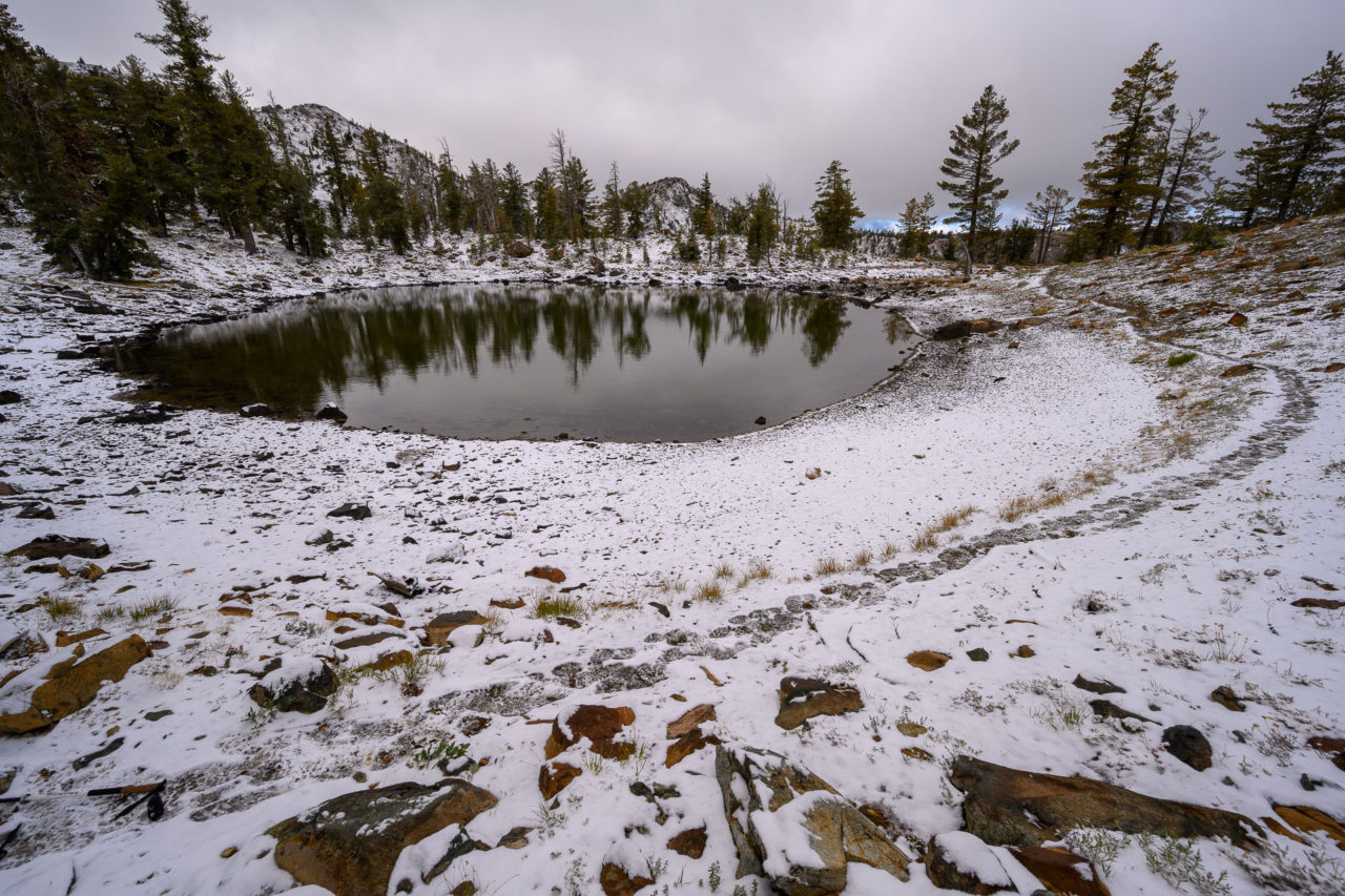
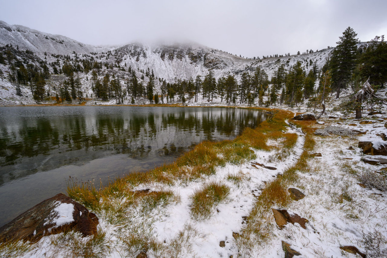
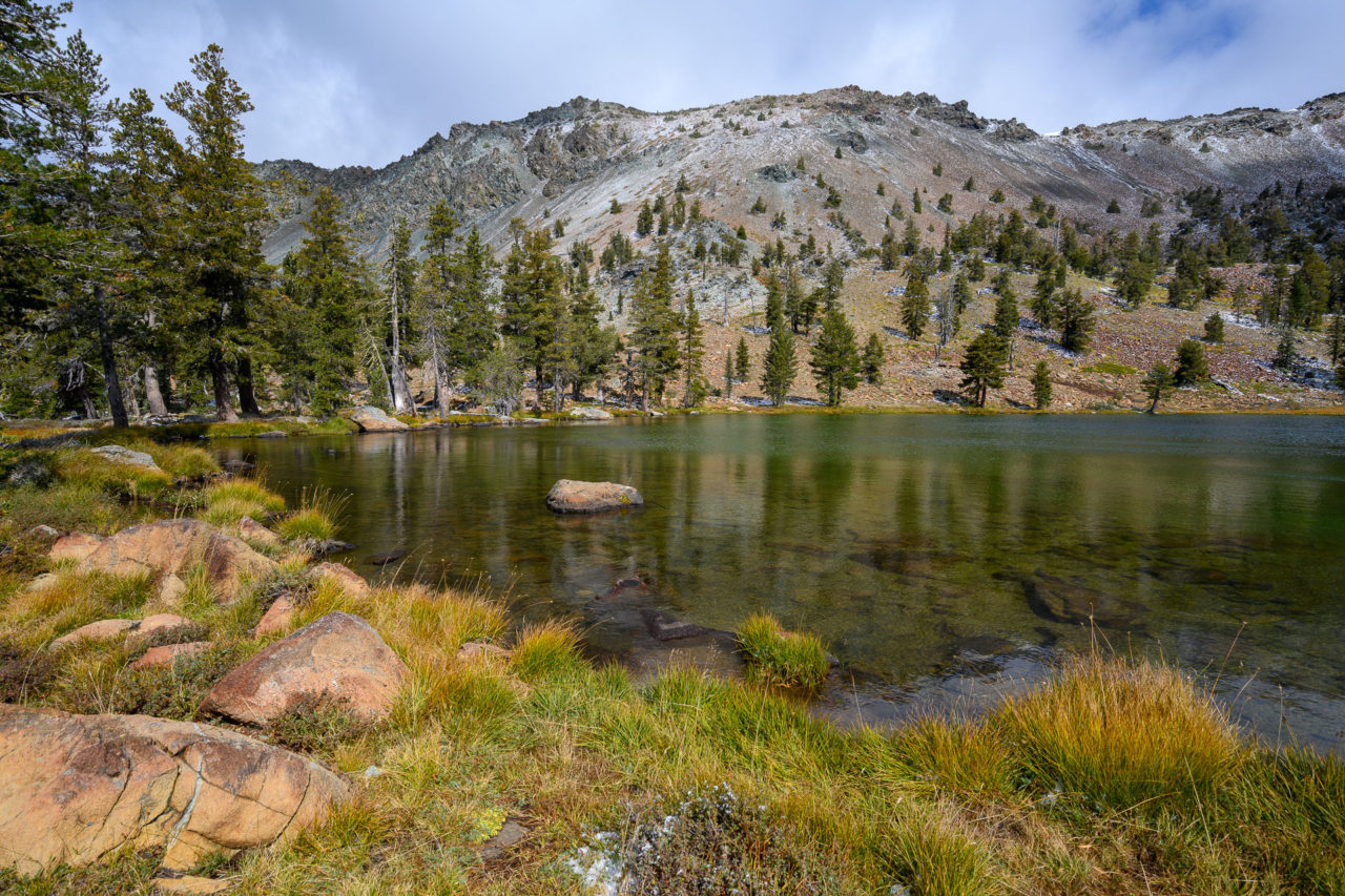
By the time I made it back down to Upper Deadfall Lakes the conditions had improved, offering a good view back to Mount Eddy. I made a brief detour to Middle Deadfall Lake on the way back, then made my way back to the car.
2.3 Miles, 400 Gain
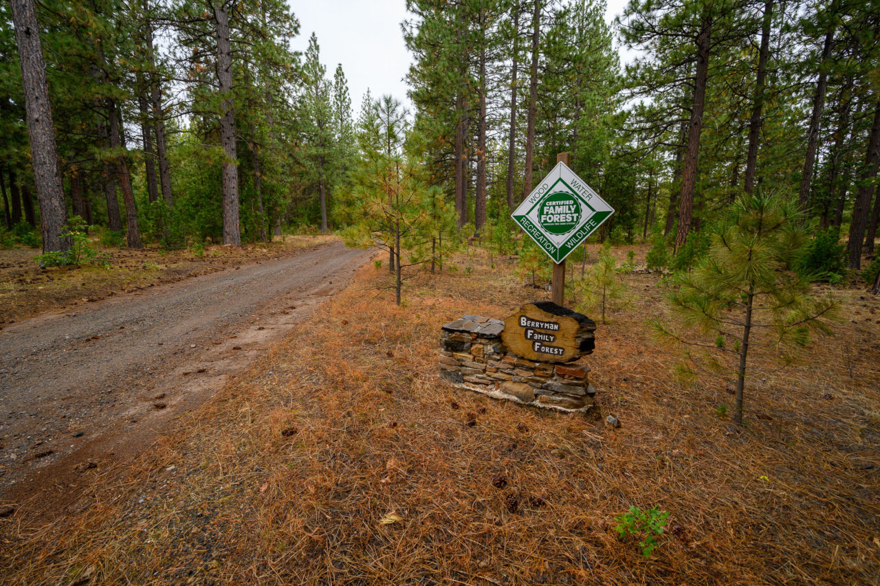
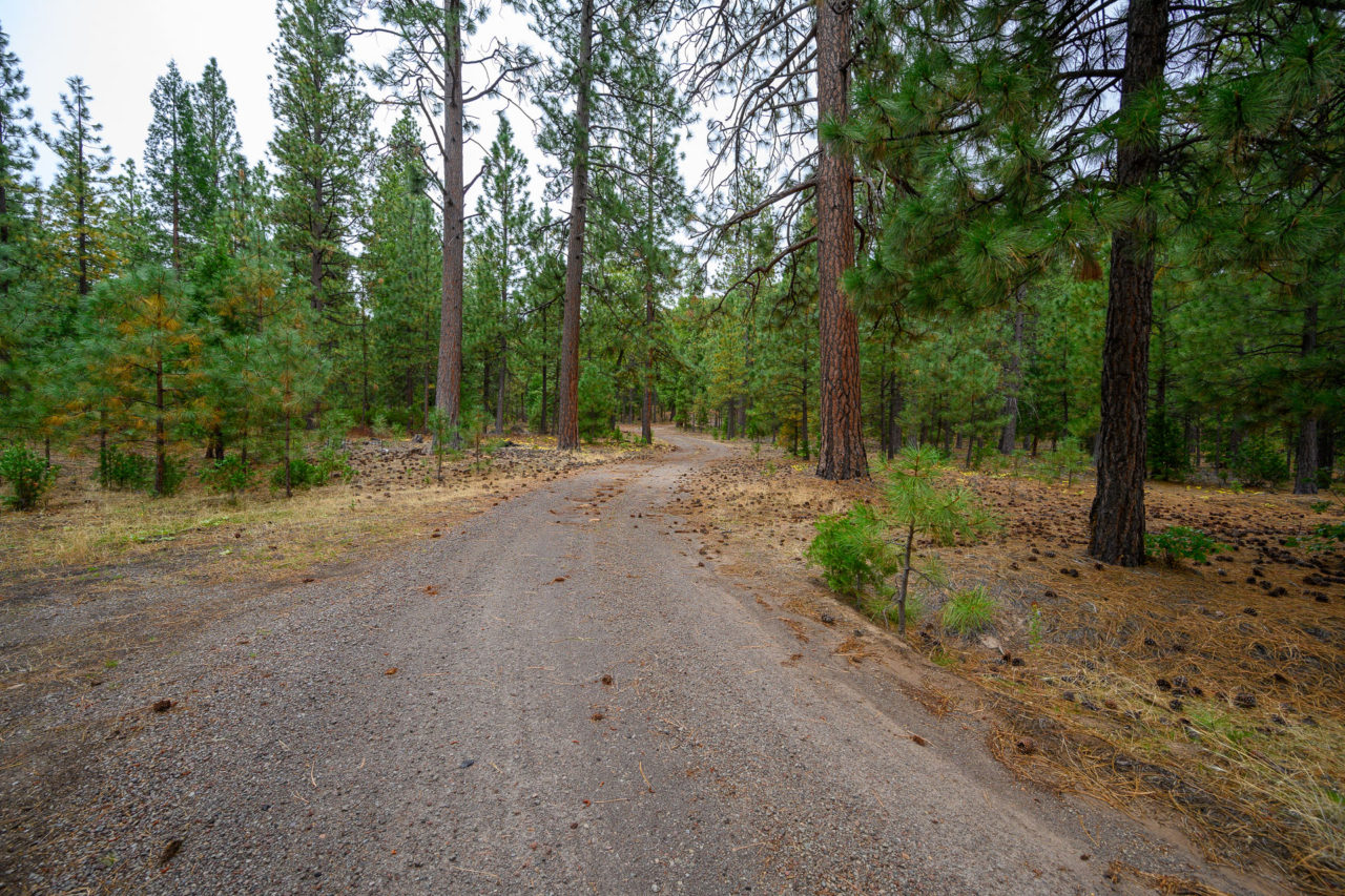
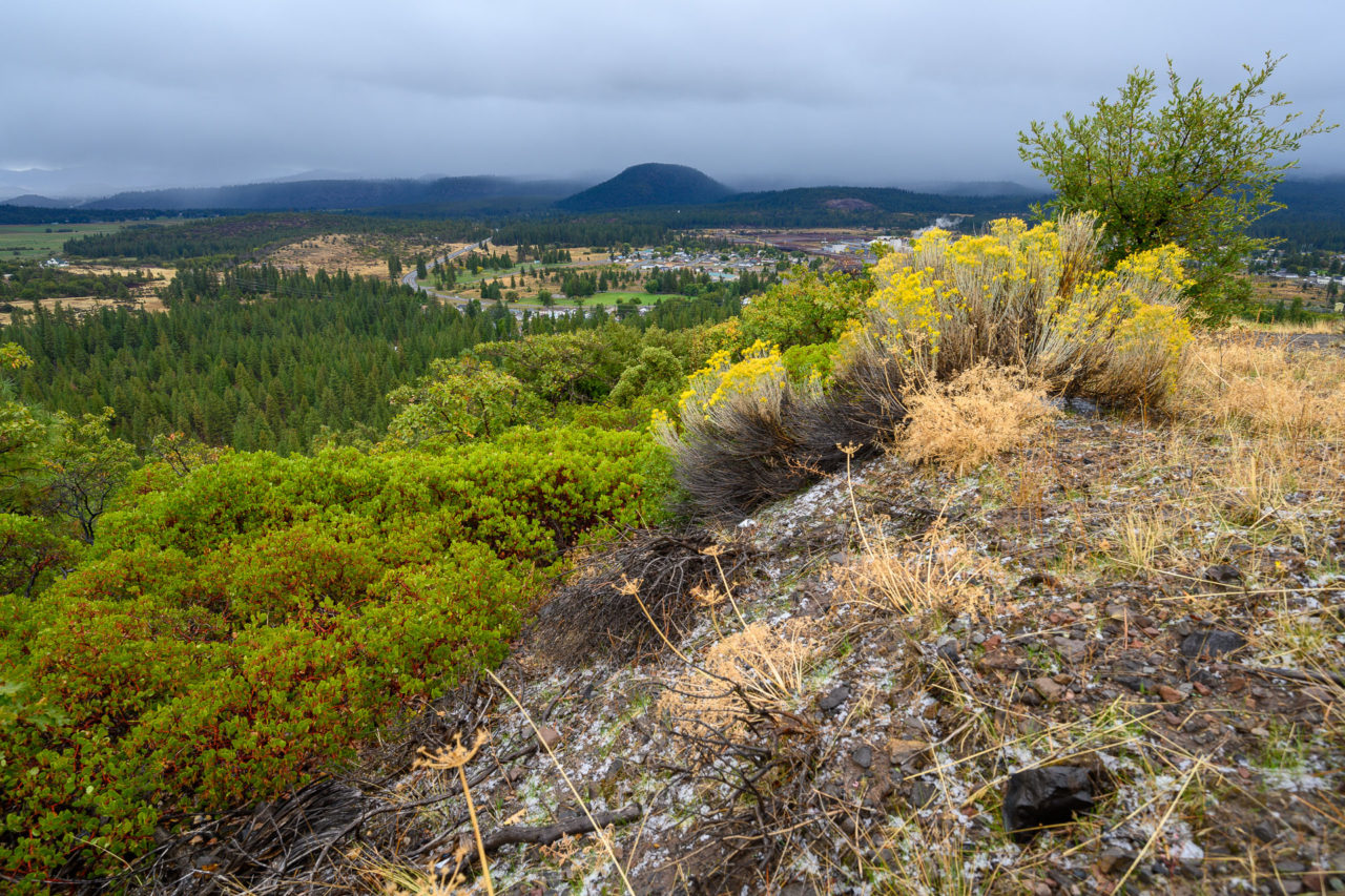
I was expecting Weed Benchmark to be a drive-up, but instead found a gate shortly after exiting Highway 97. There was a sign for the Berryman Family Forest just beyond the gate, and a break in the fence to allow hikers in, so I assumed it was open to the public. I made my way roughly one mile along the service road to a collection of communication towers overlooking the town of Weed. I expect the views from the summit would be much better on a clearer day.
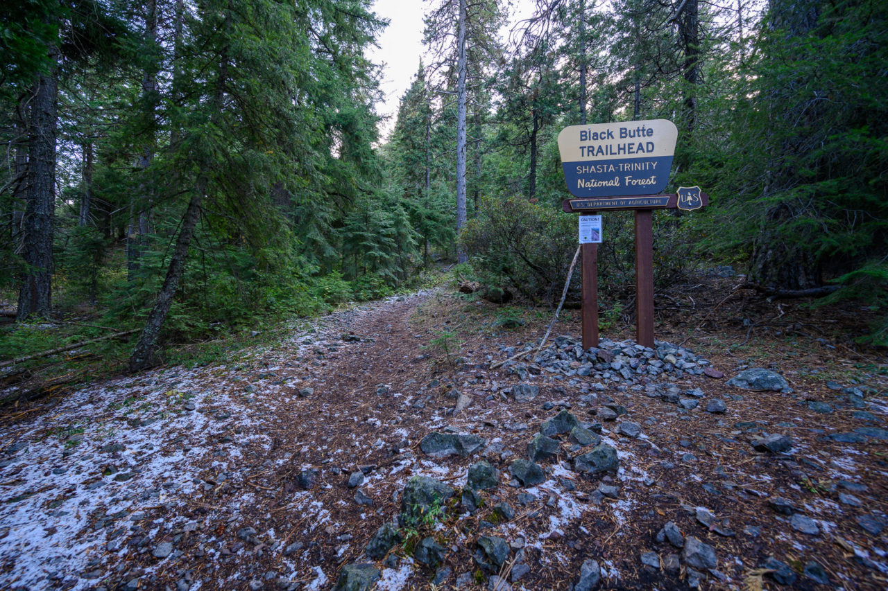
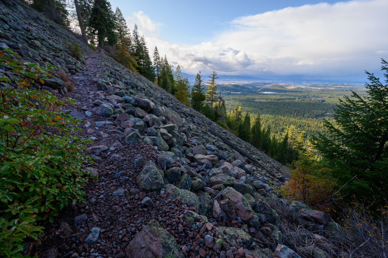
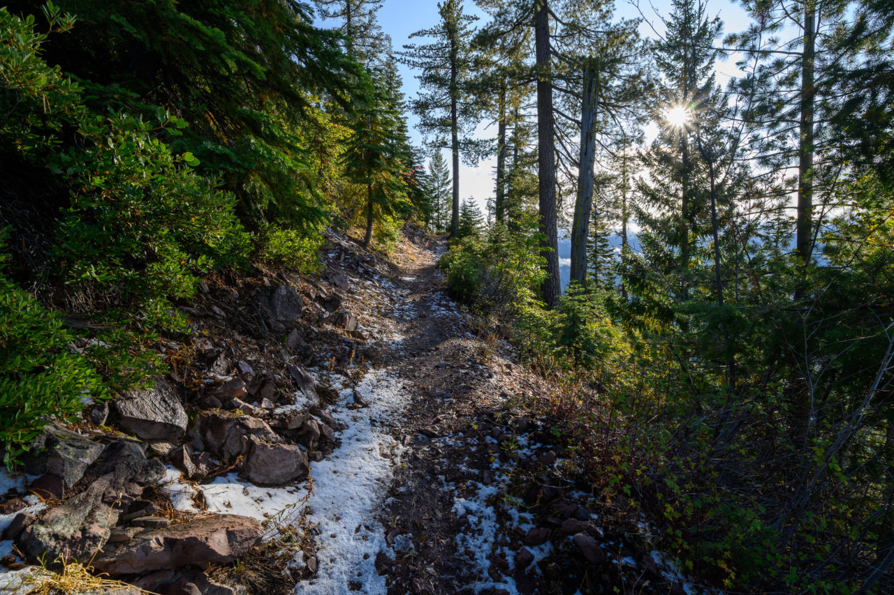
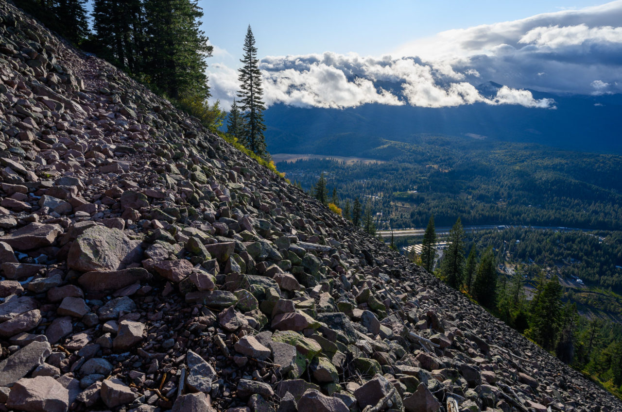
5.1 Miles, 1850 Gain
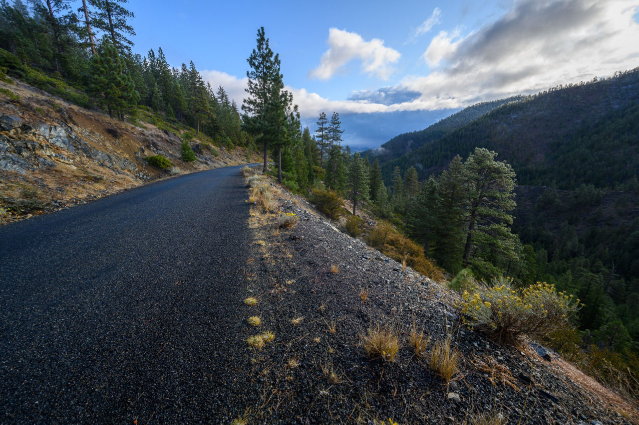
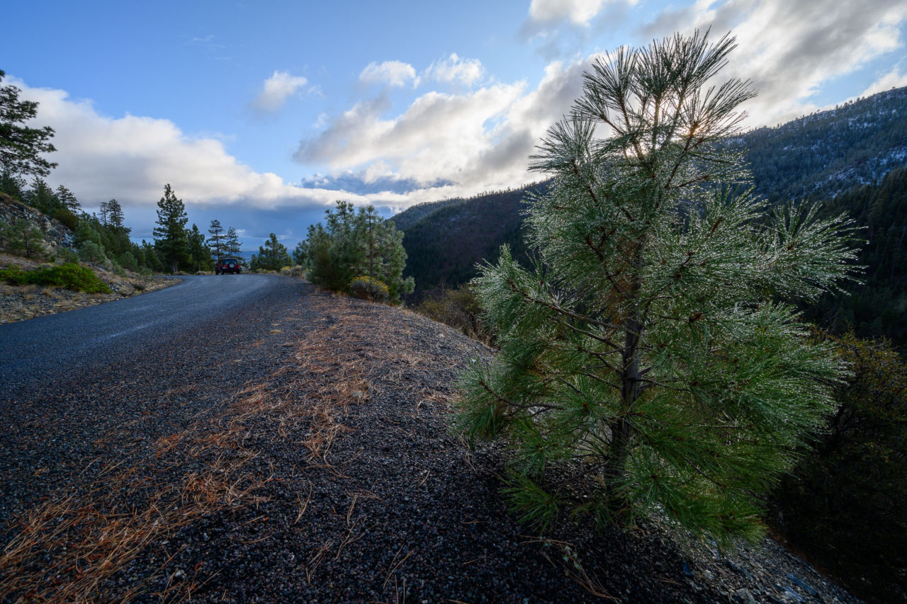
The weather had once again cleared as I made my way to Black Butte. The road to the trailhead was in good shape, drivable by most 2WD vehicles. The trail made several long, gradual switchbacks on the 2.5 mile approach to the summit, with some impressive trail maintenance to hold back a few large rockfalls. I could see dark clouds looming on the horizon as I was making my way to the summit, and I knew it was only a matter of time before they reached me. I was hoping I could get to the top before the storm moved in, but with several switchbacks left to go the snow started falling. I took a few pictures in near whiteout conditions, before making my way back to the trailhead.