16.0 Miles, 7350 Gain
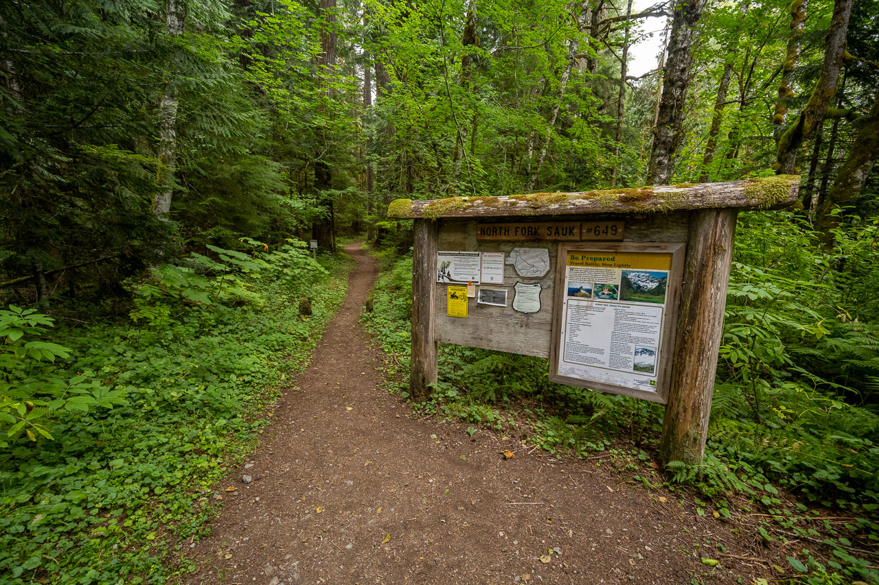
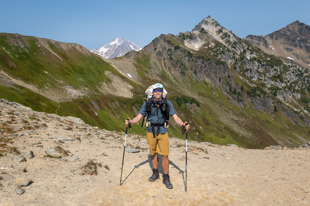
Glacier Peak is one of the five major volcanoes in Washington. It requires a long approach, so we were planning to do the trip as a three day backpack trip and include a few other peaks in the area. We made the long 14 hour drive from California the previous day and found a spot to car camp near the trailhead. The road was in good shape and should be accessible to most vehicles. We got started the next morning from the crowded North Fork Sauk Trailhead. Judging from the number of groups carrying snow pickets, it looked like most of them would also be attempting Glacier Peak. This was sort of expected considering it was a holiday weekend with a good weather window.
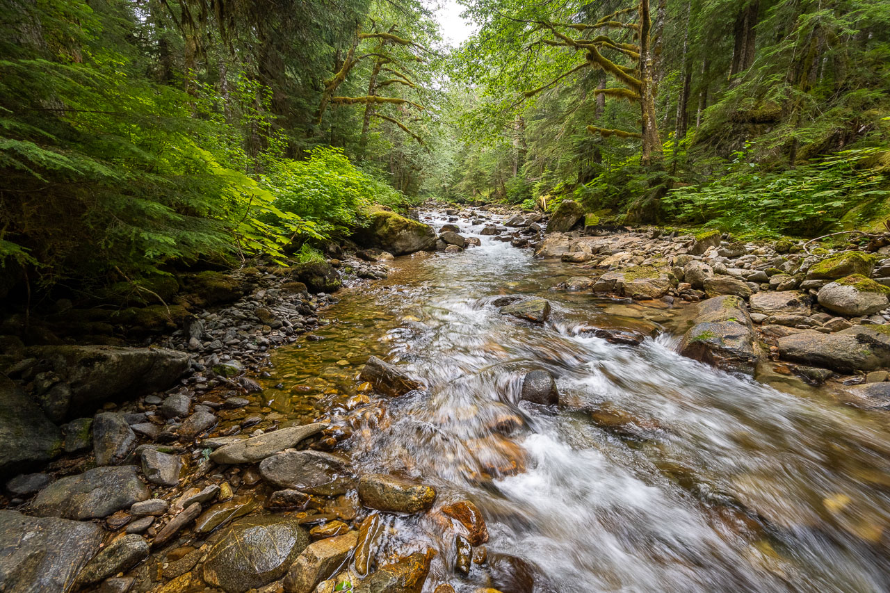
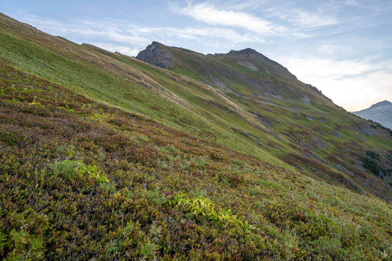
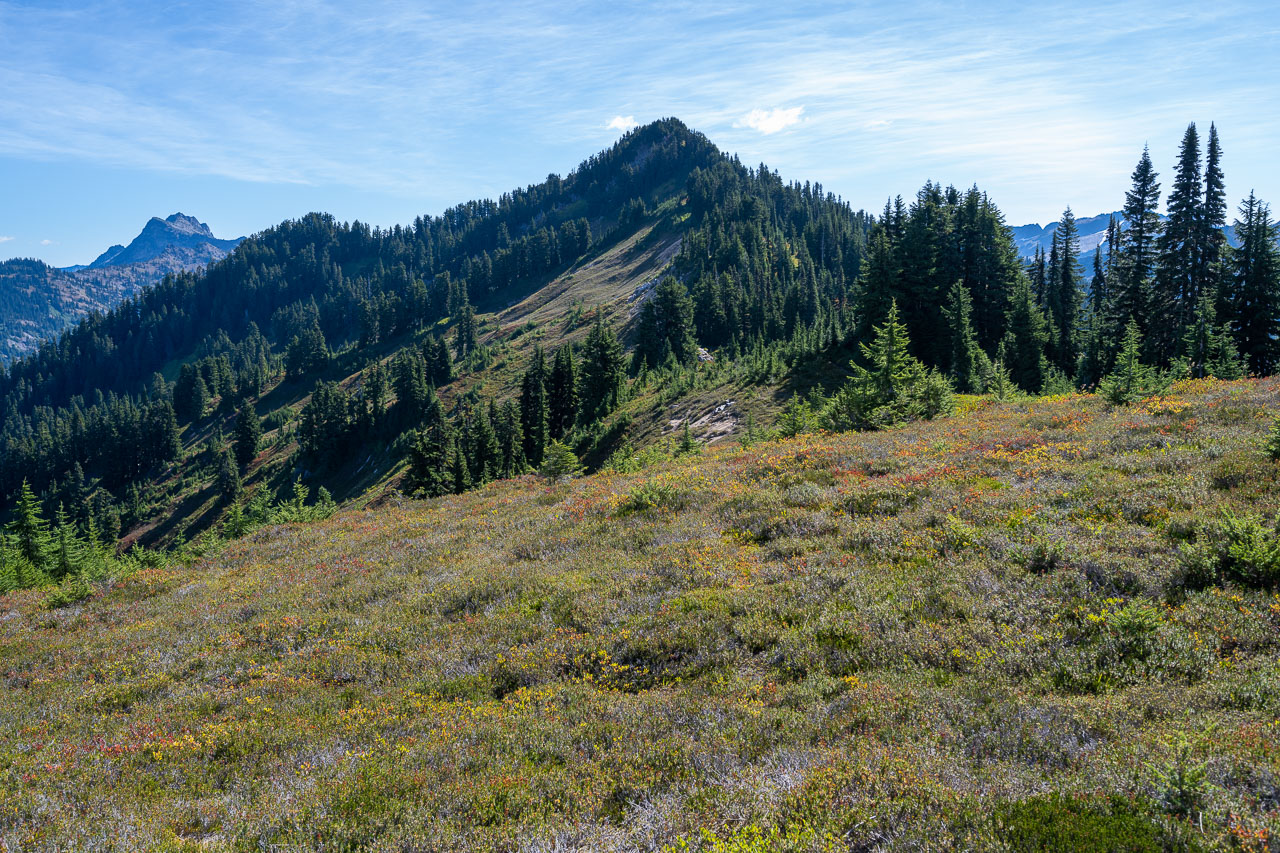
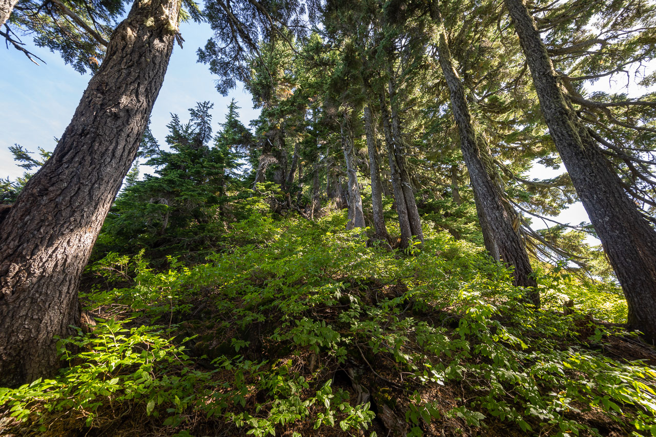
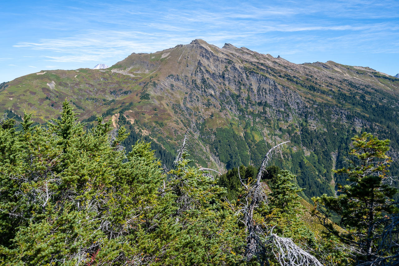
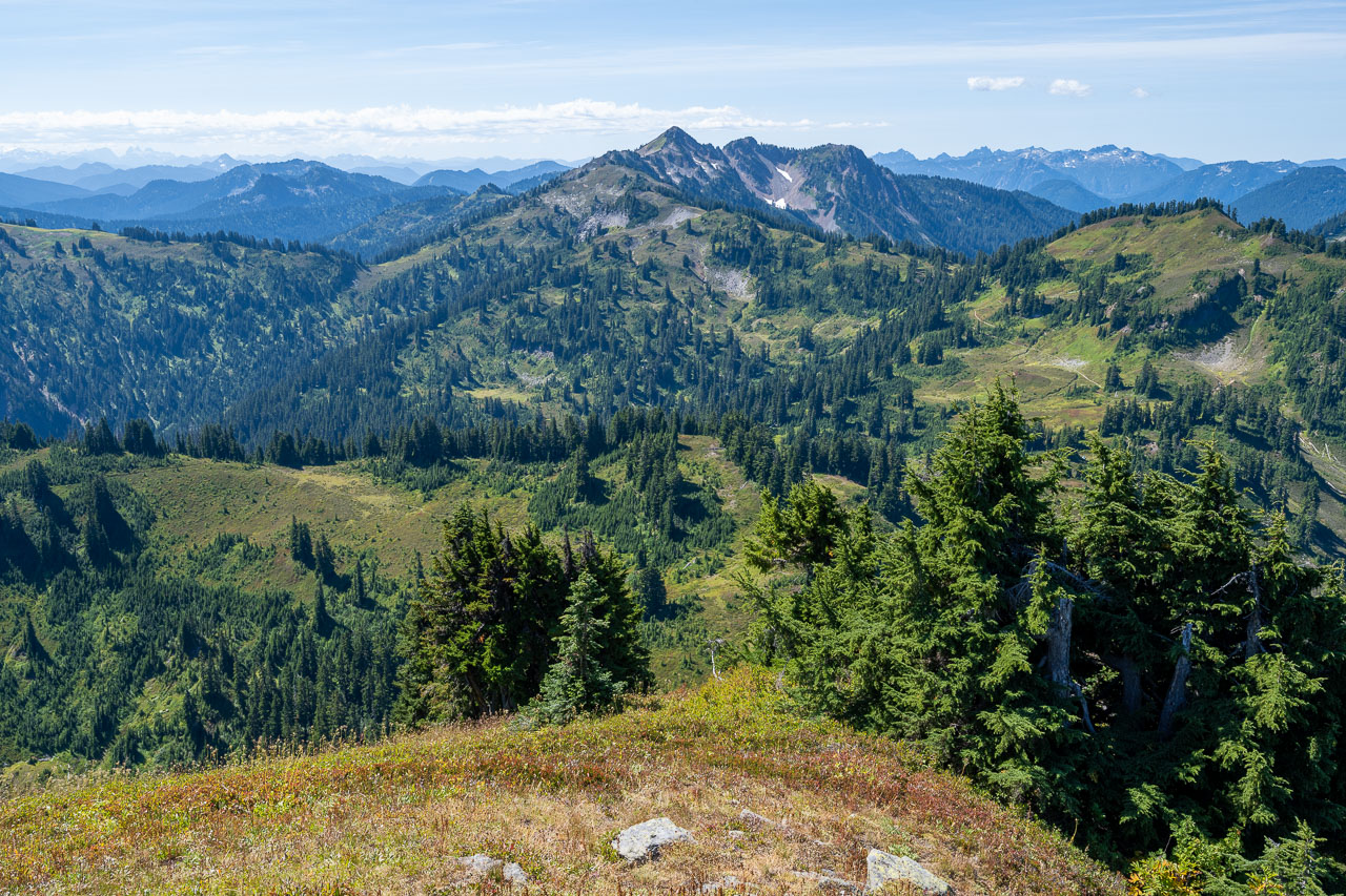
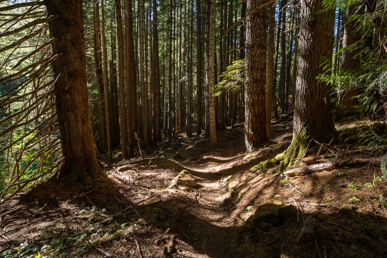
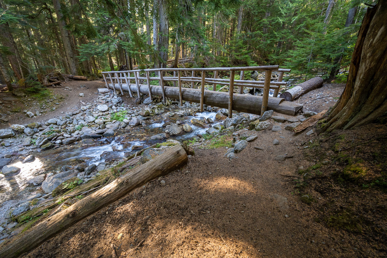
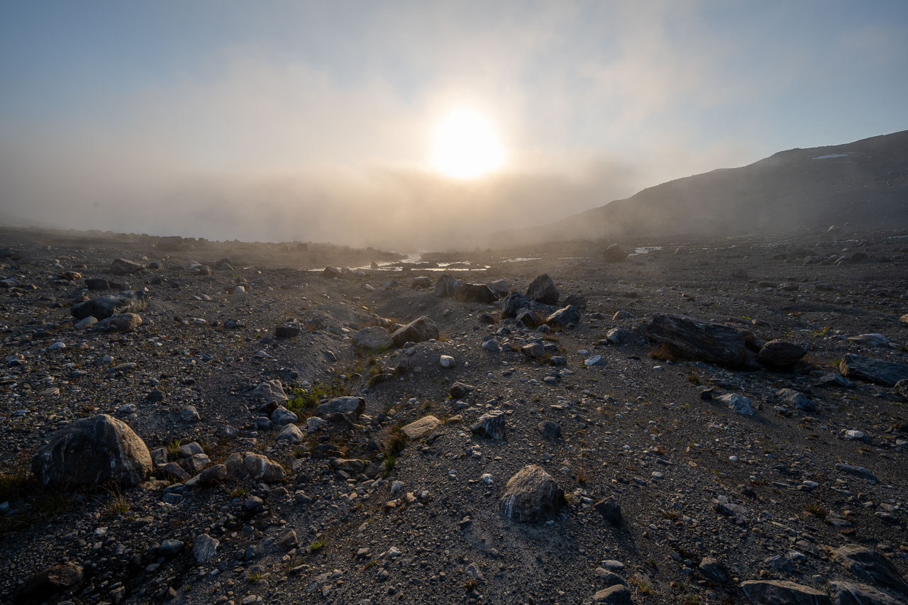
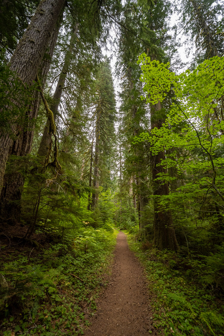
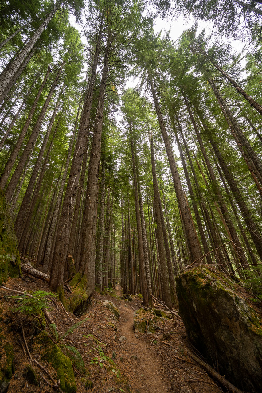
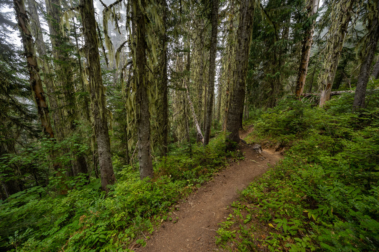
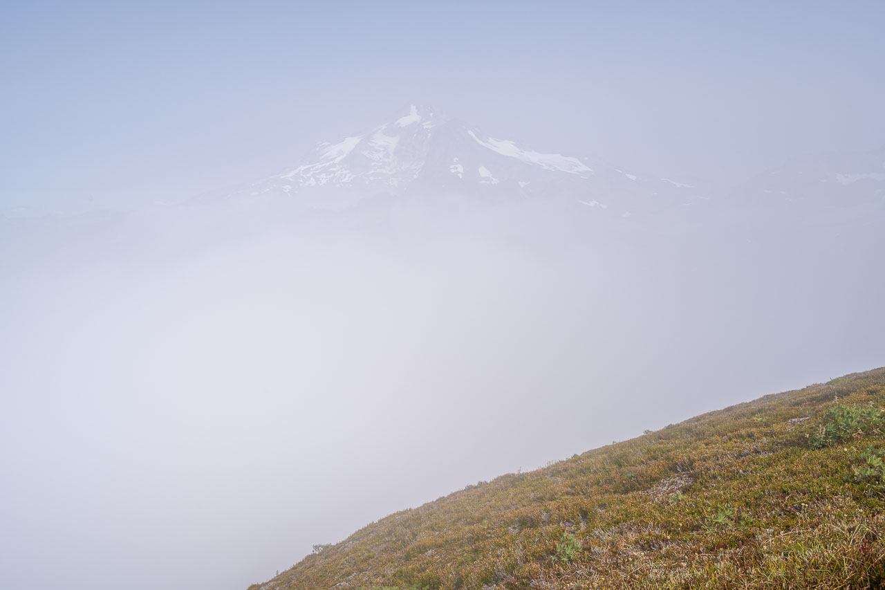
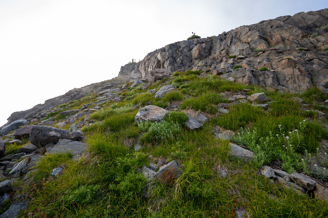
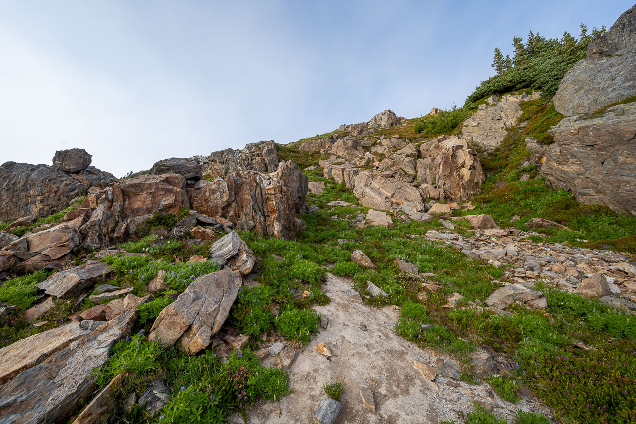
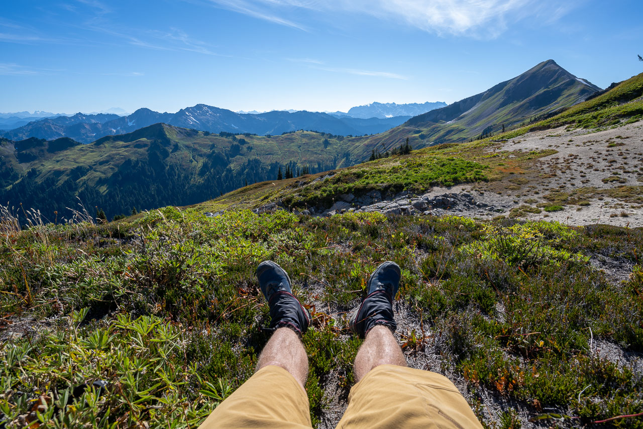
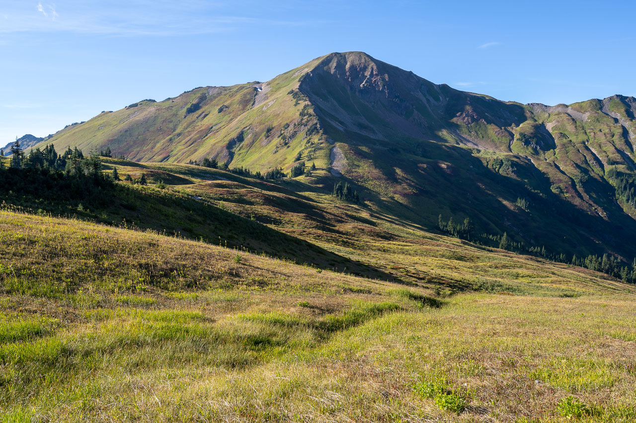
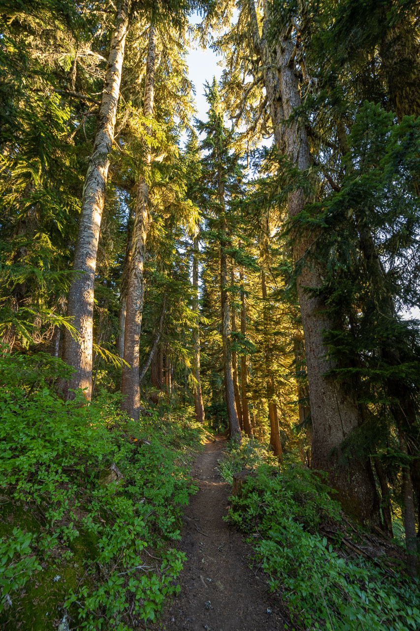
The first 5-6 miles were through old growth forest along the river. It had been a misty morning, but as we climbed toward White Pass the wind and sun helped clear things out. I got to White Pass a little before my dad, so I hiked the grassy ridgeline above the pass up to White Mountain. Normally there would be a great view of Glacier Peak from the summit, but unfortunately there were some clouds in the way. The wind was blowing hard, so I waited for a few minutes to see if things would clear out, but only managed to catch a brief glimpse of the peak. The views to the south were still nice though.
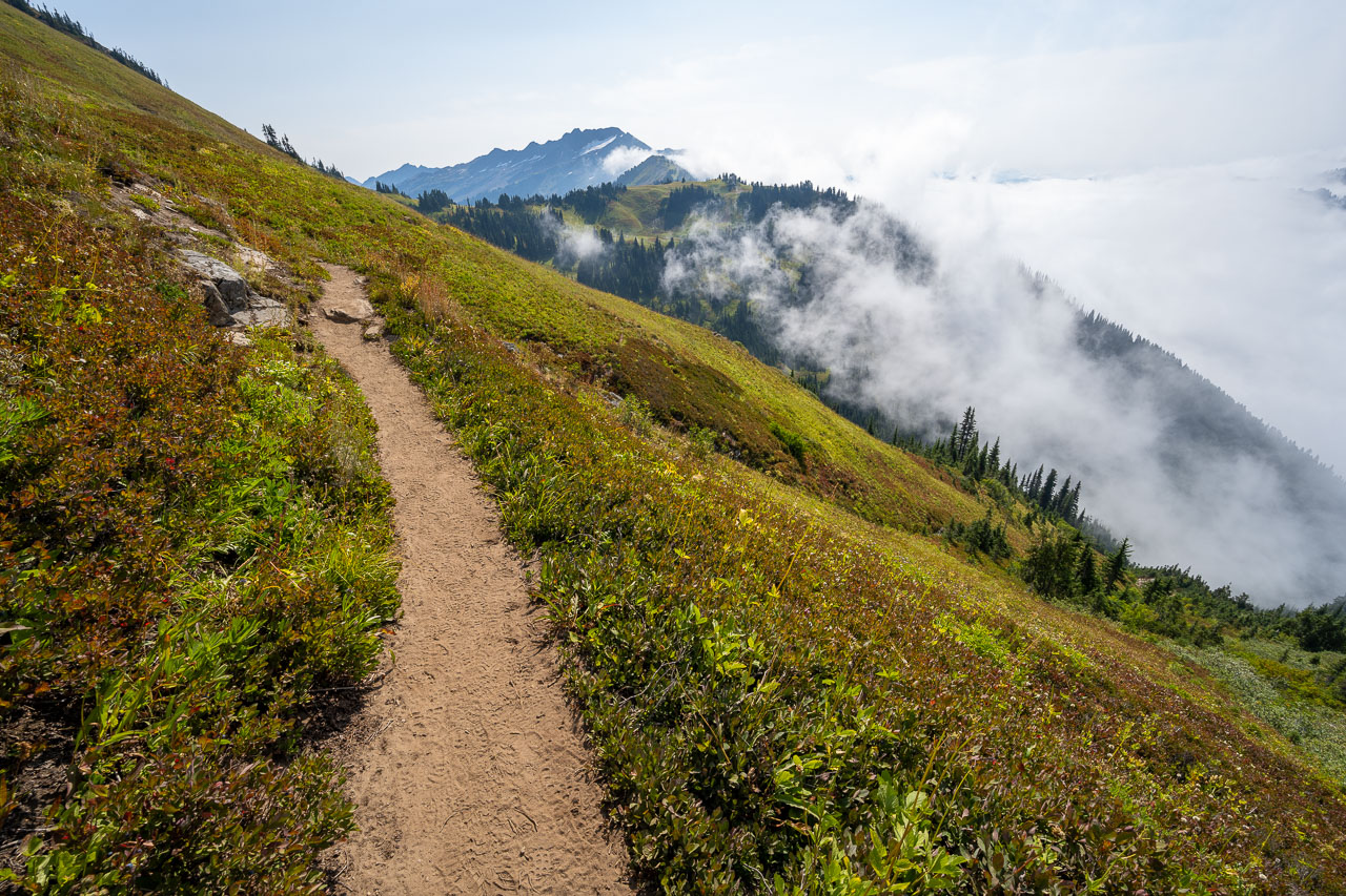
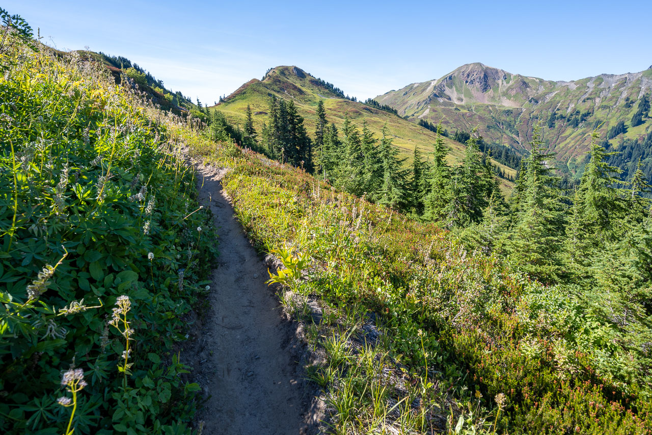
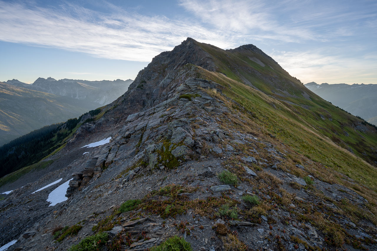
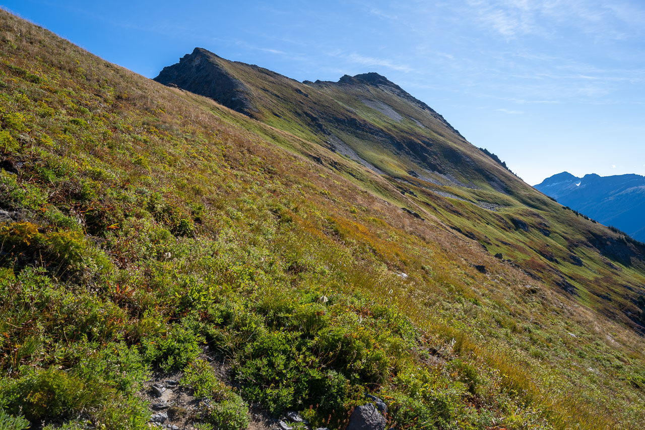
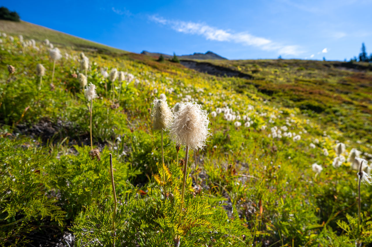
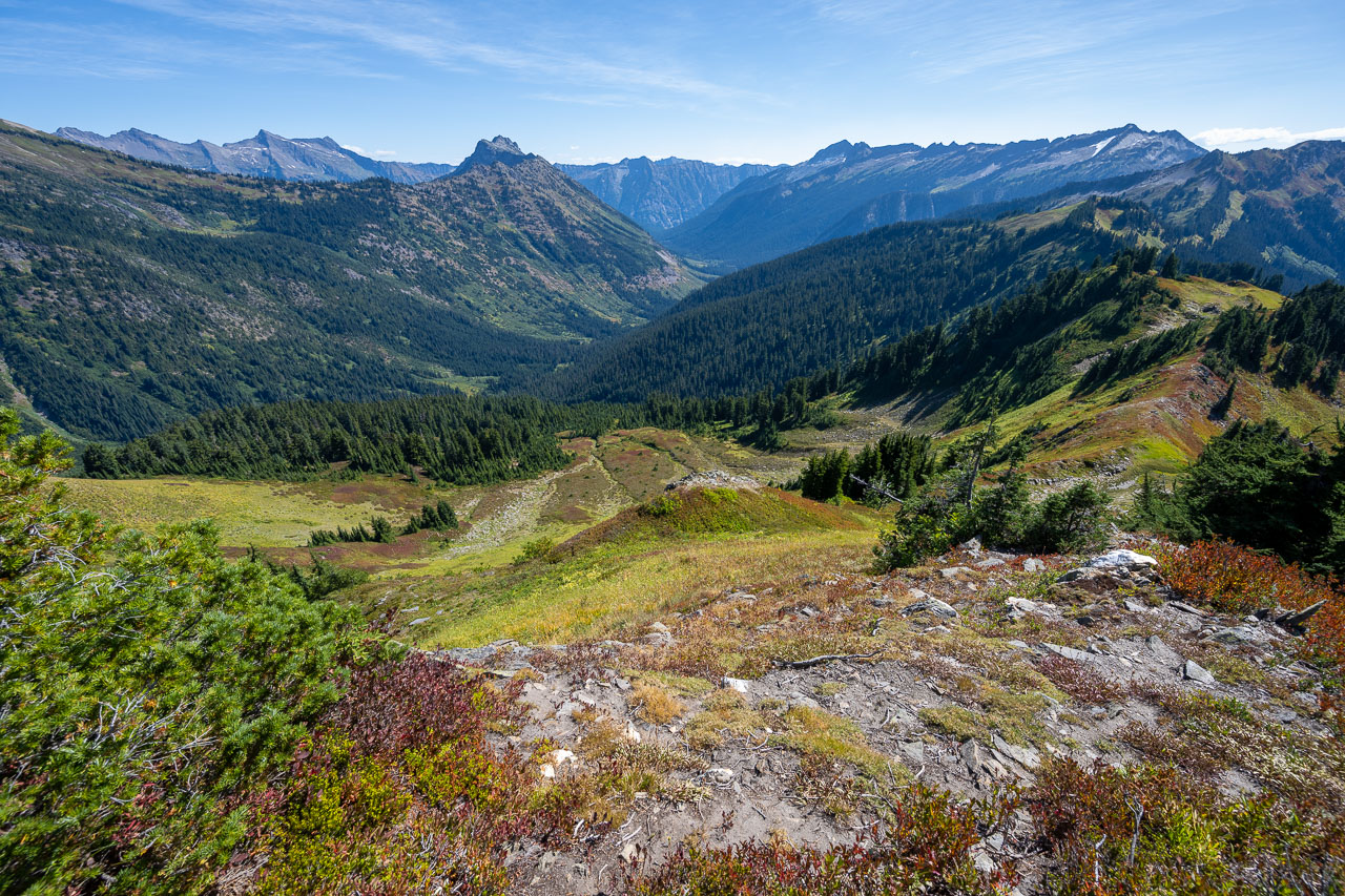
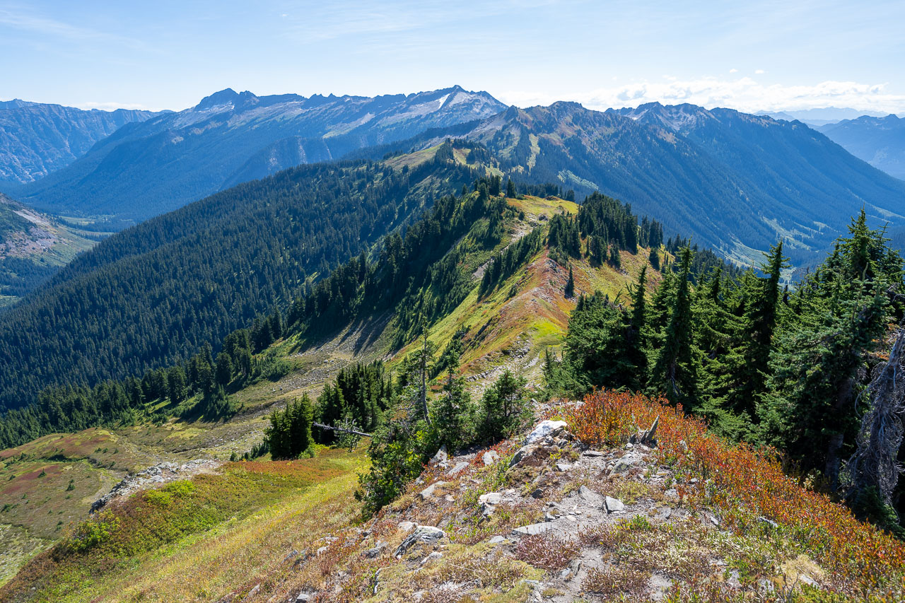
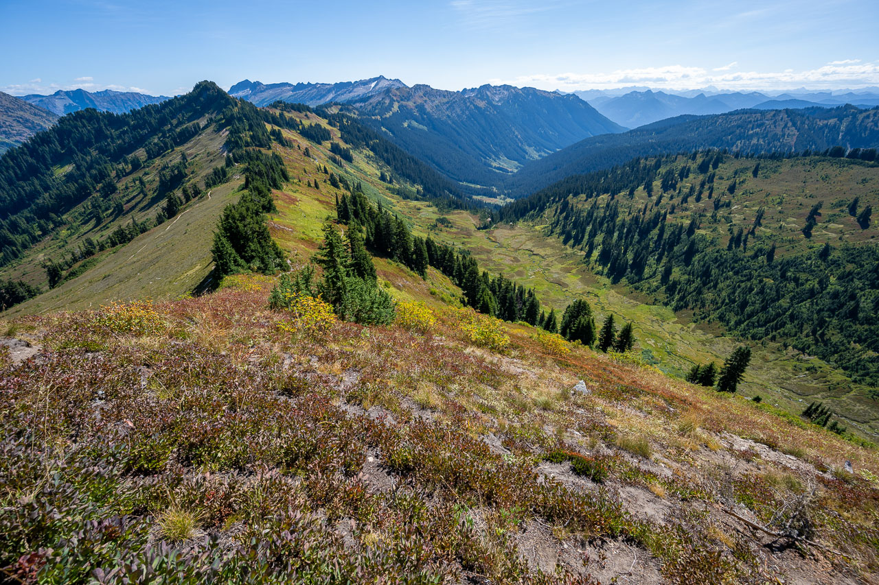
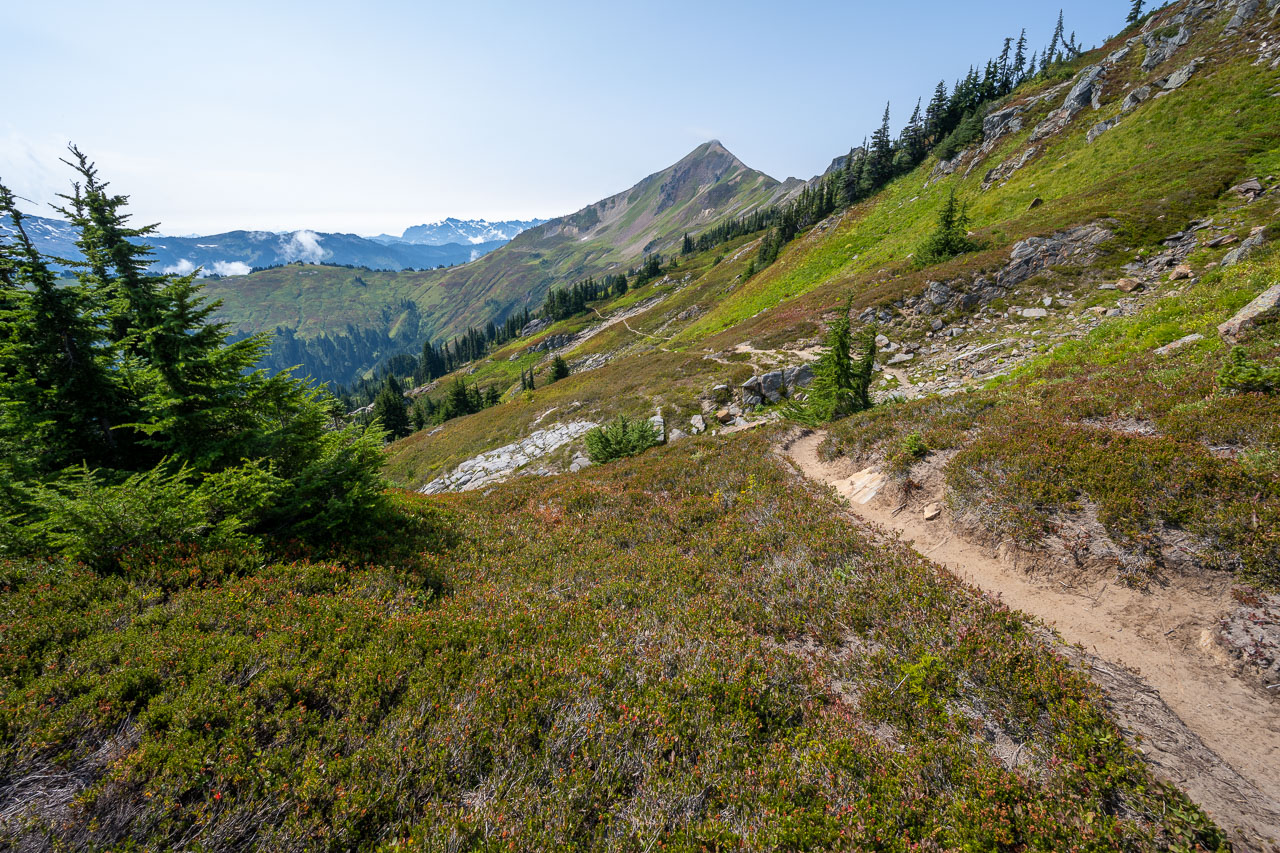
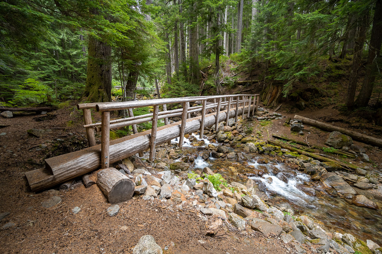
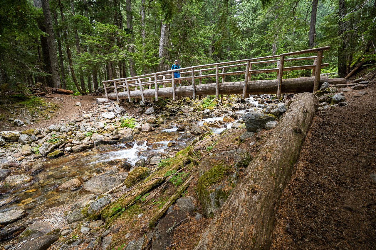
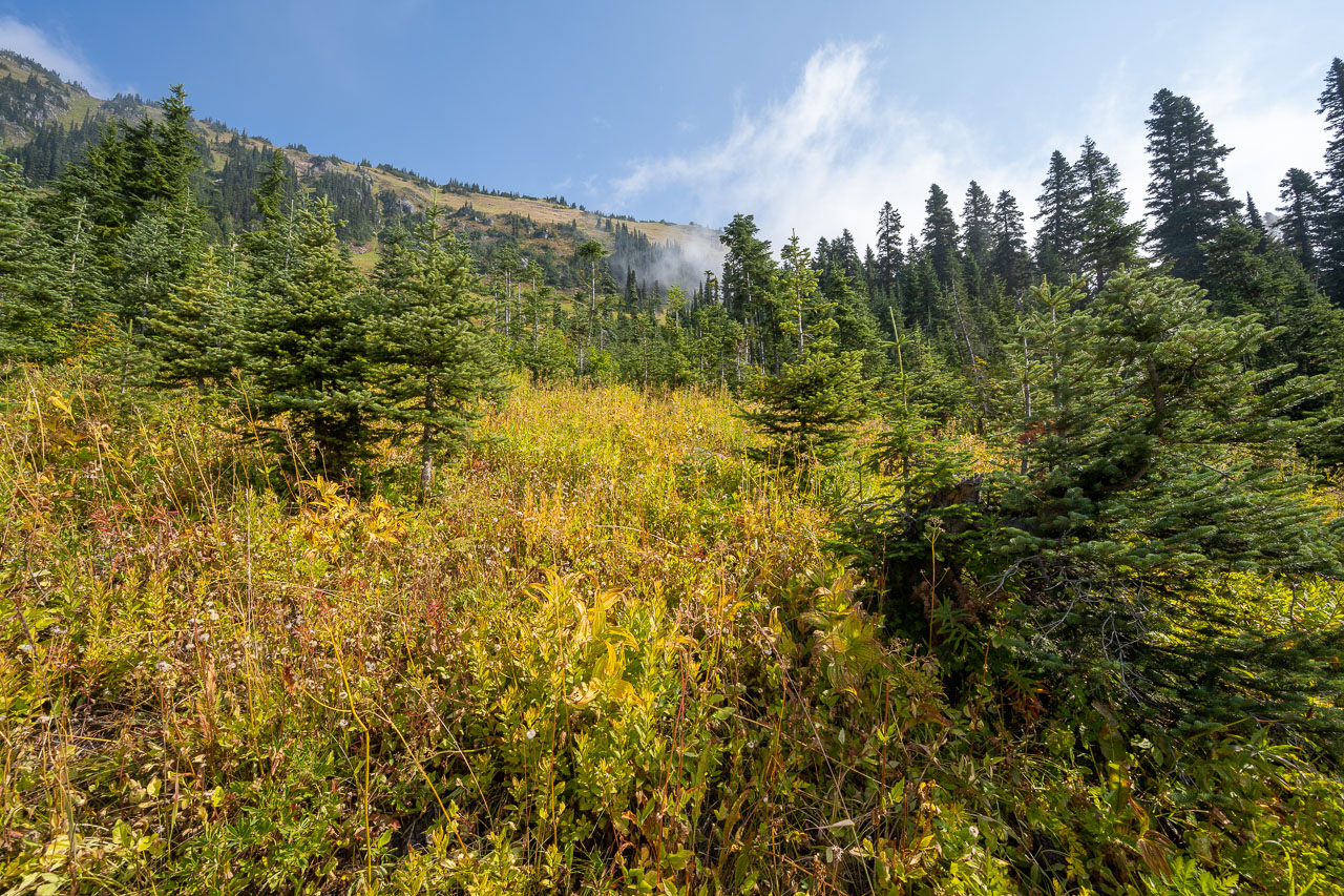
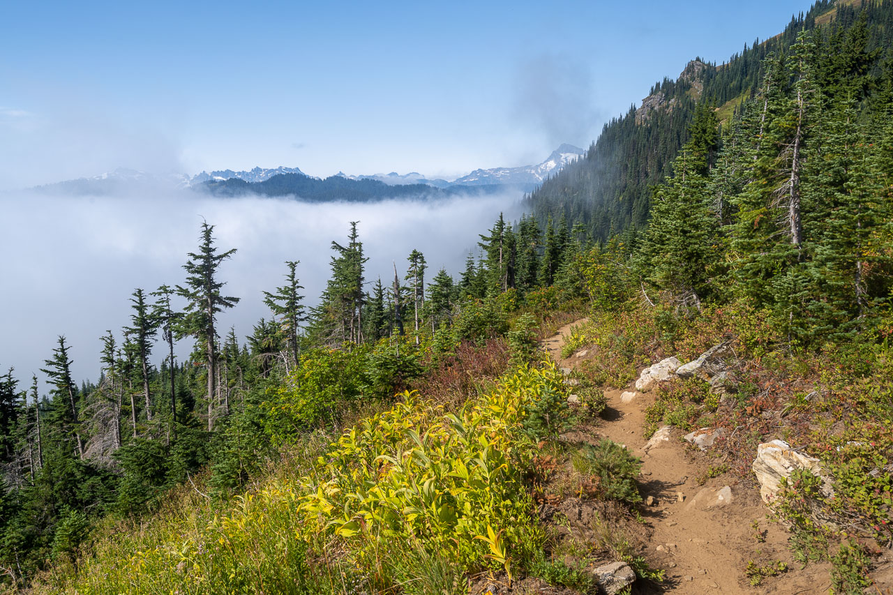
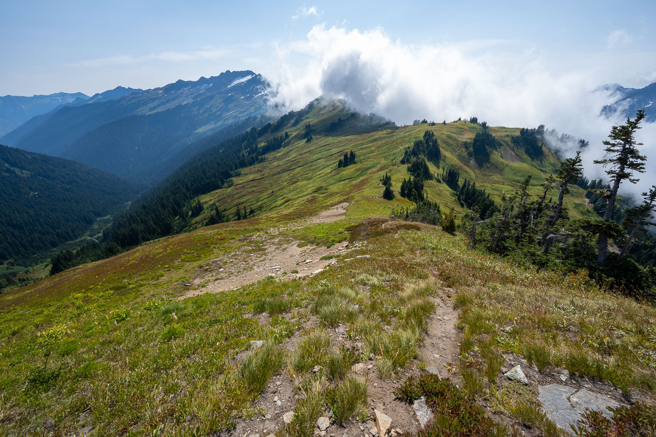
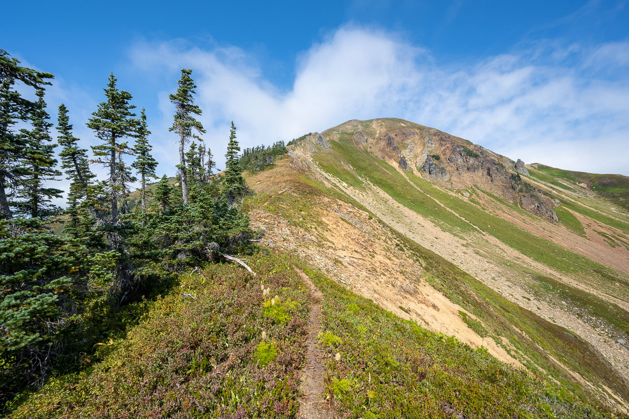
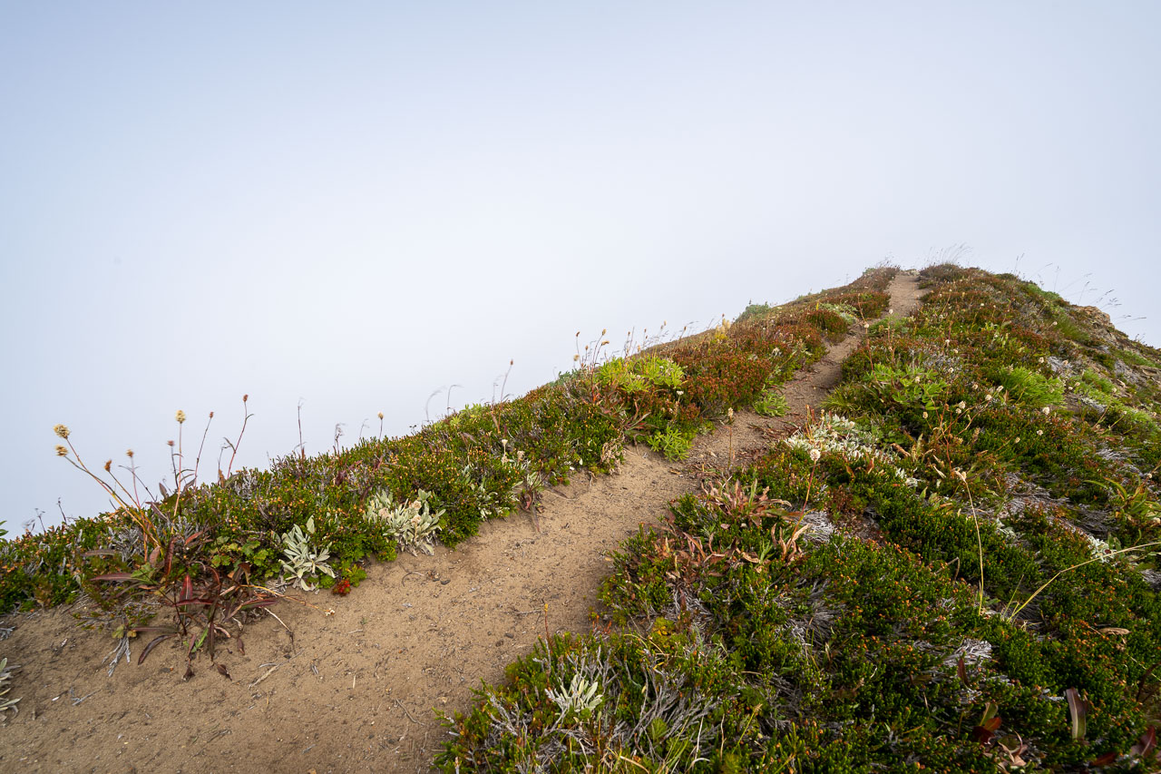
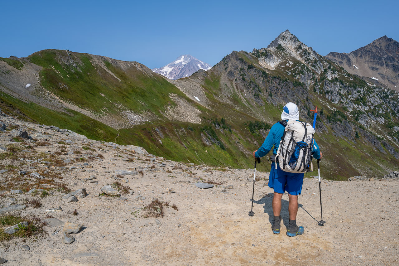
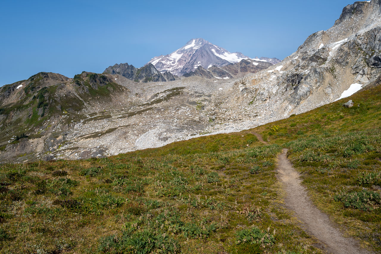
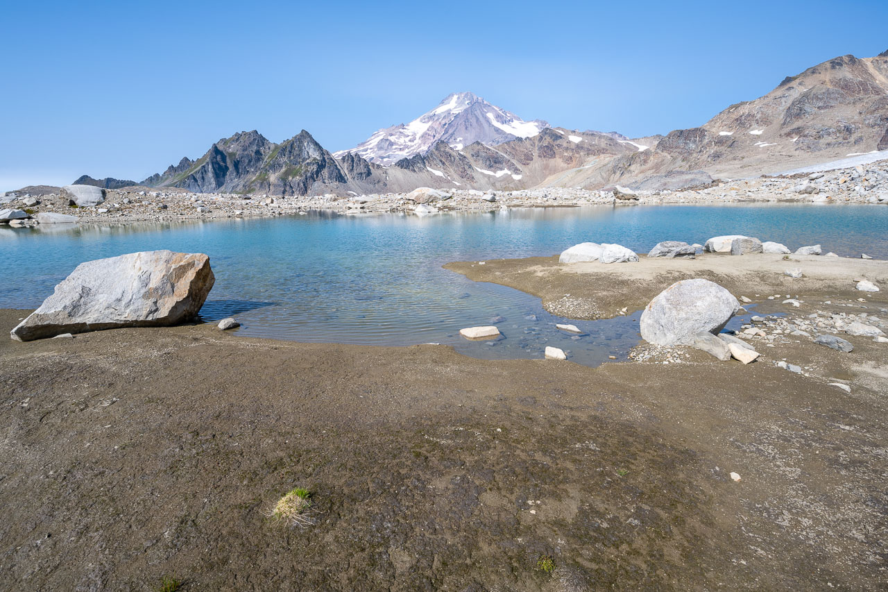
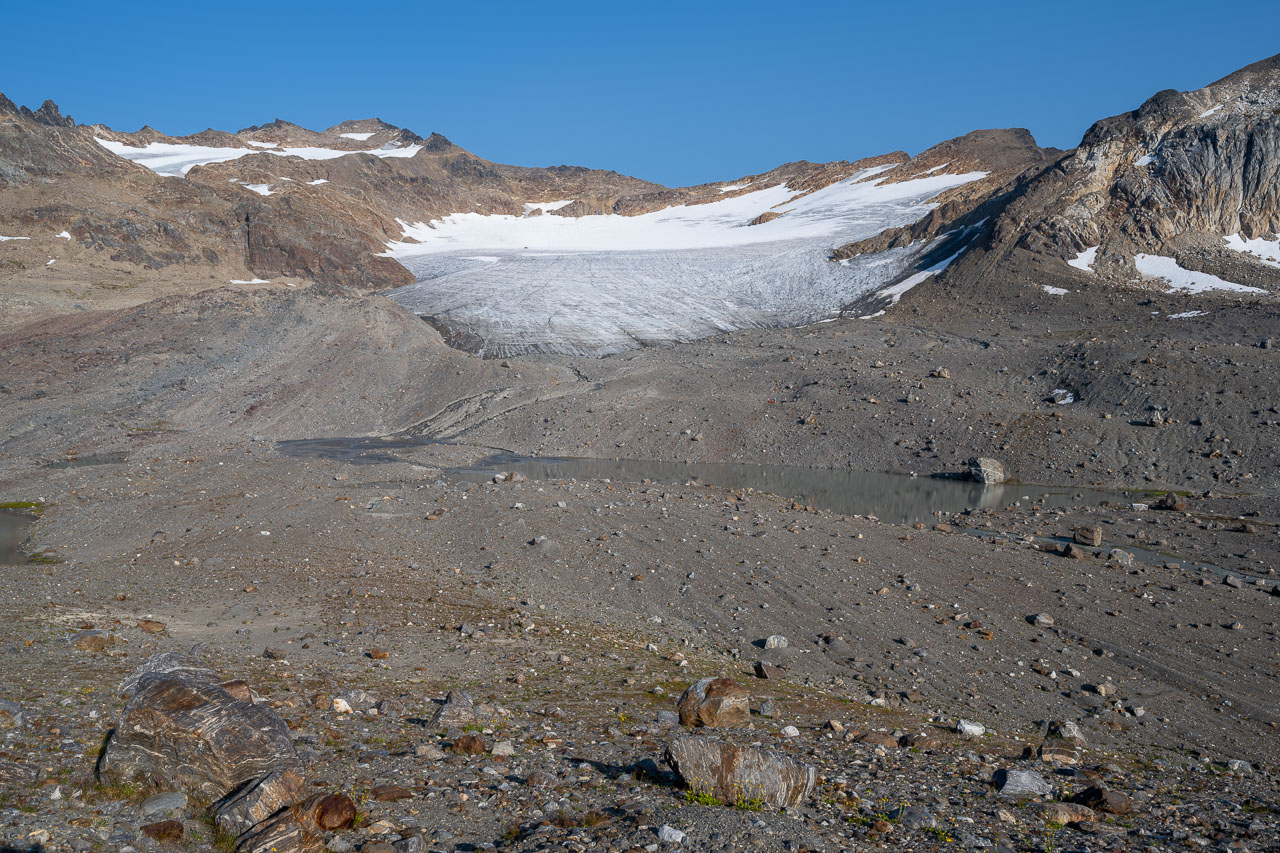
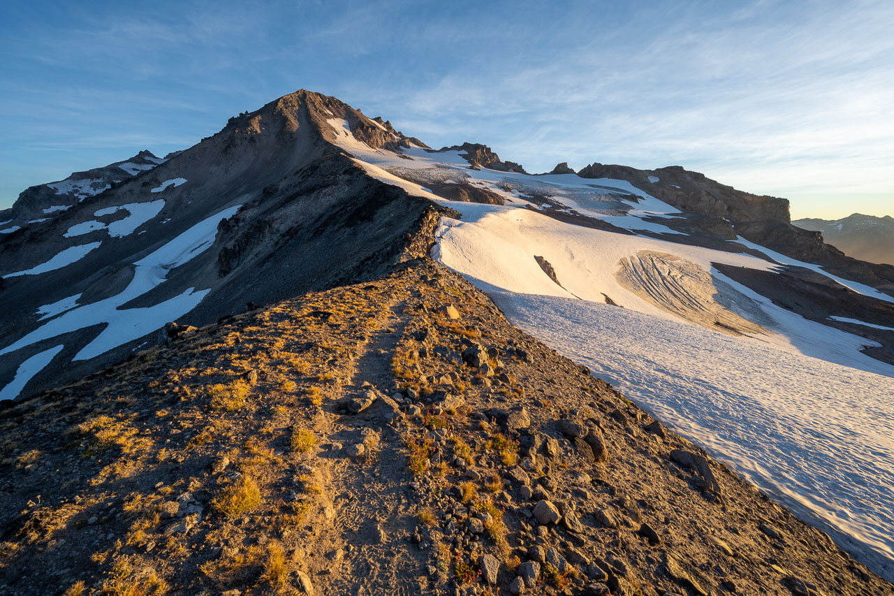
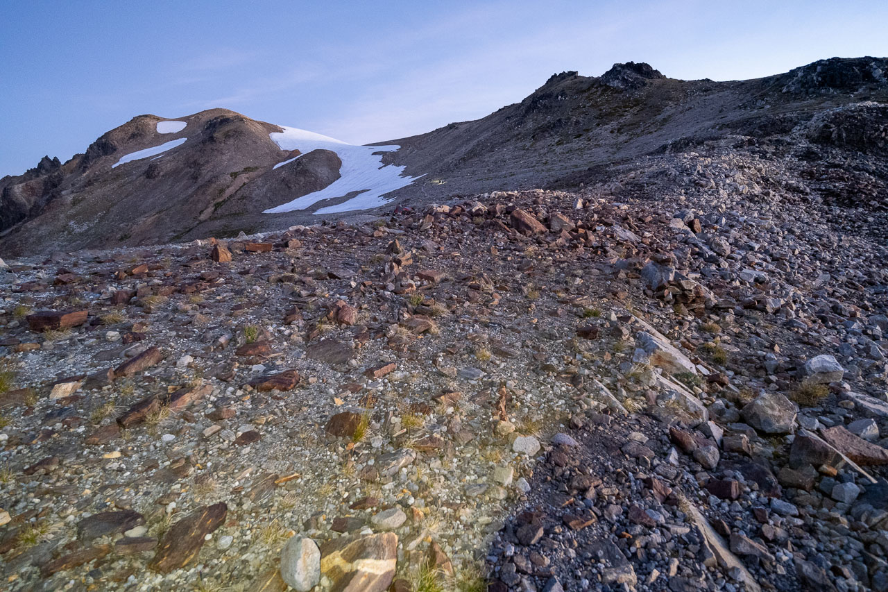
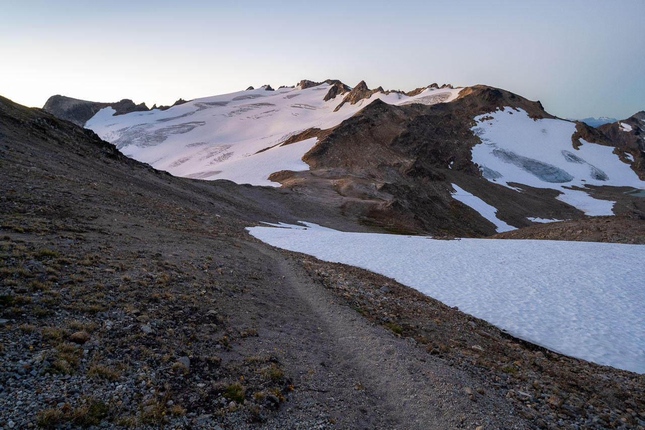
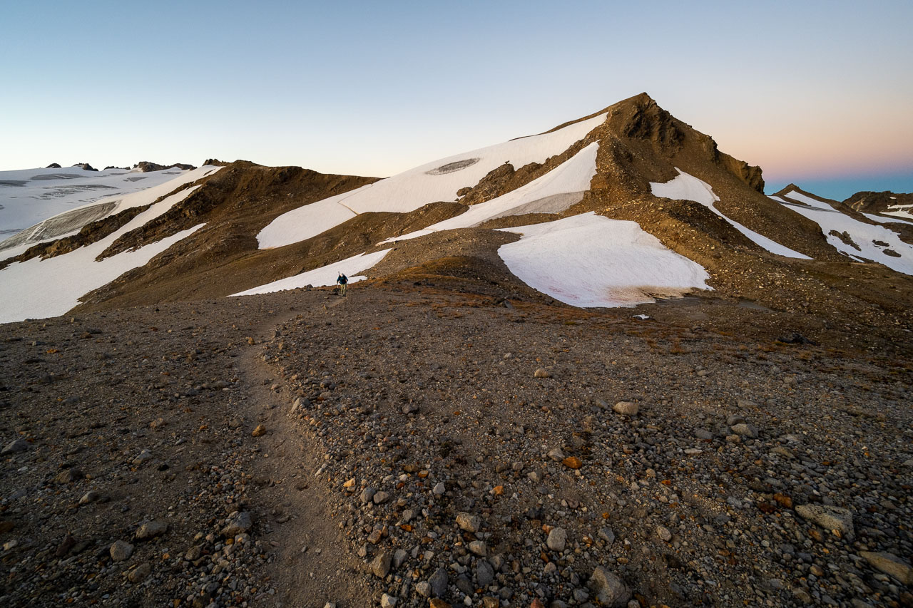
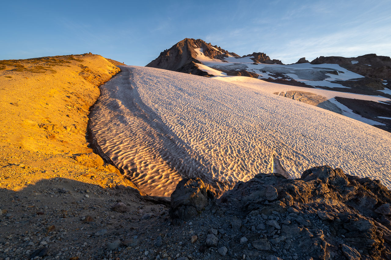
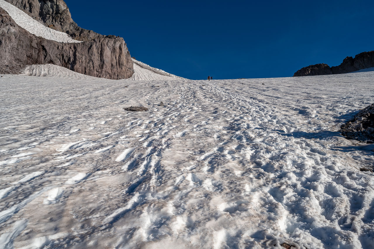
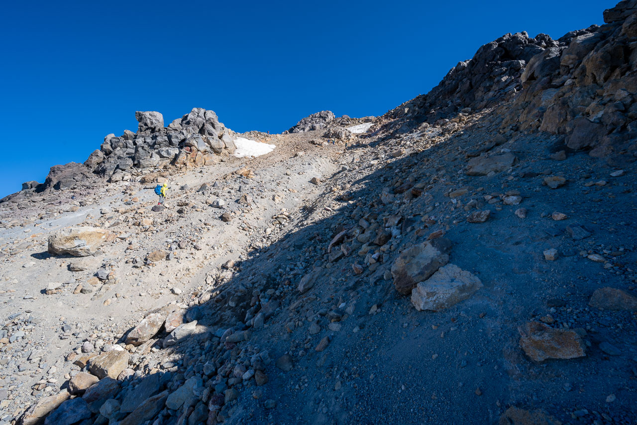
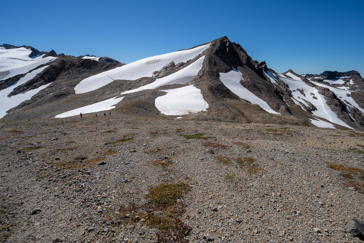
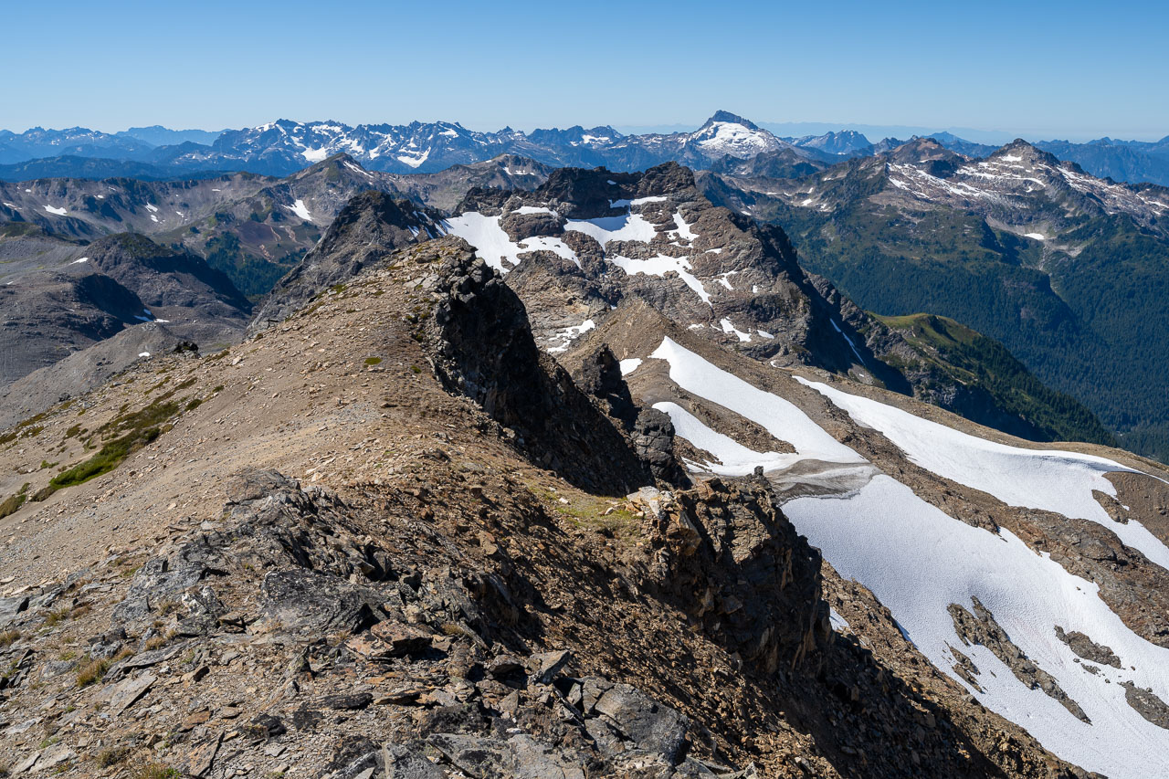
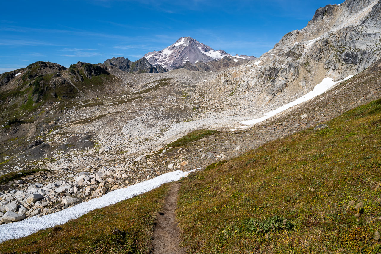
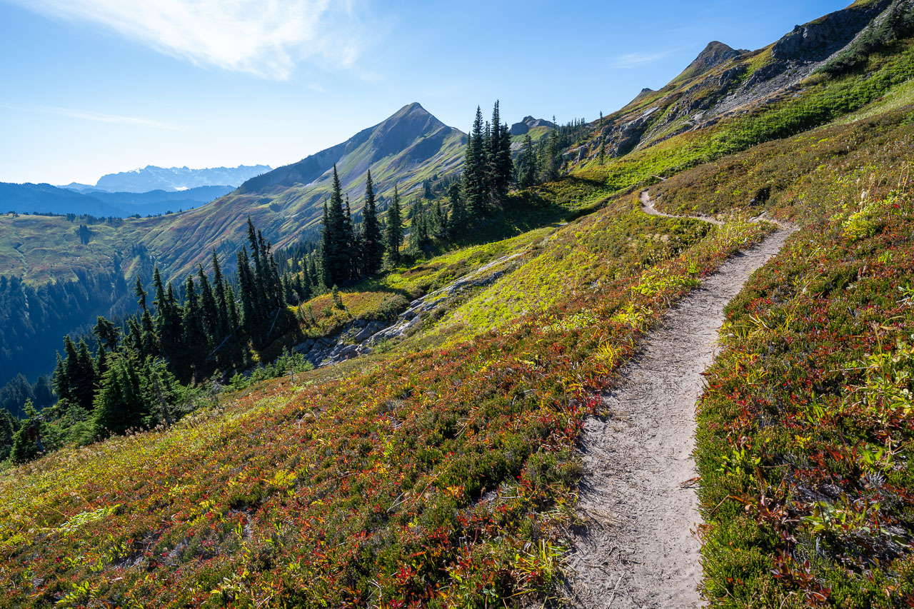
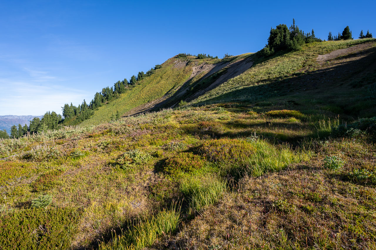
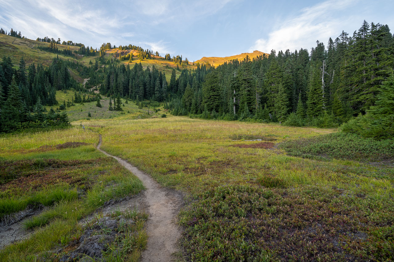
Returning to the pass, we started along the use trail leading toward Glacier Peak. The trail doesn’t actually show up on the map, but enough people have done the approach to Glacier that it has become a well-worn path. After crossing an intervening ridgeline we dropped into a rocky basin that marks the beginning of the final approach to Glacier Peak, which was still over five miles to the north. Earlier in the year much of the remaining distance would be covered by snow, but it had all melted out by early September.
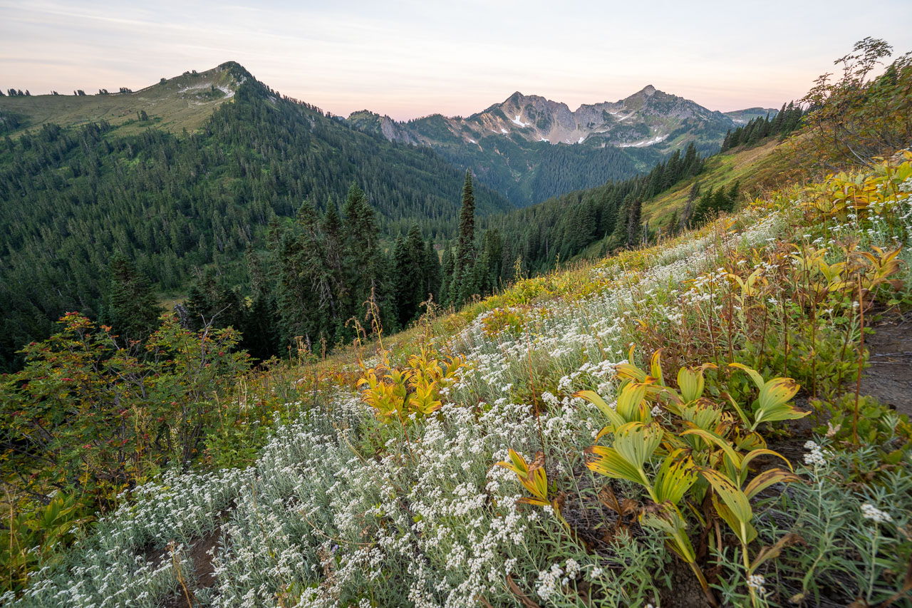
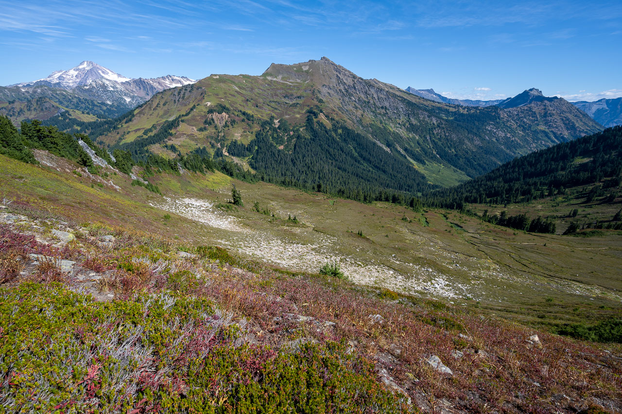
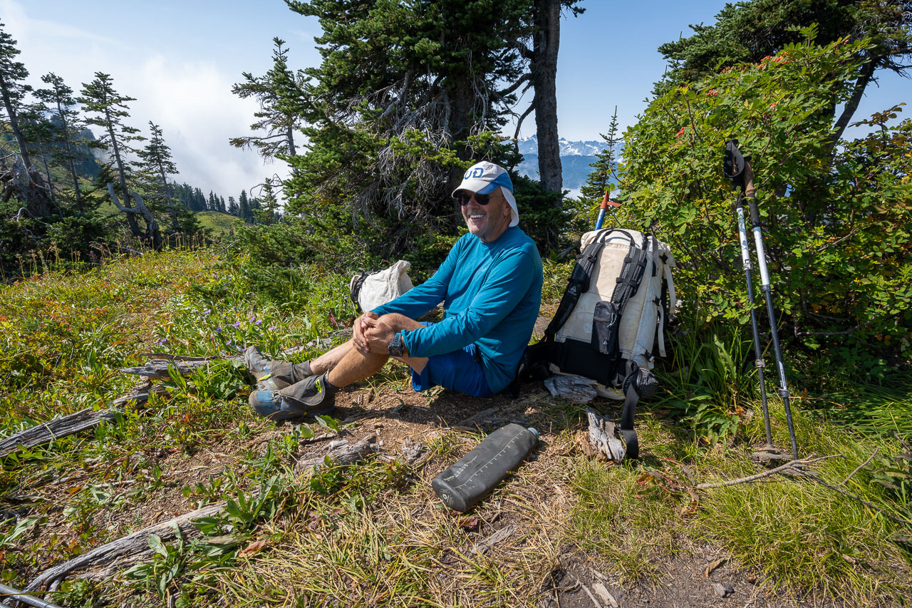
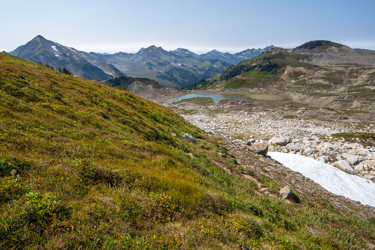
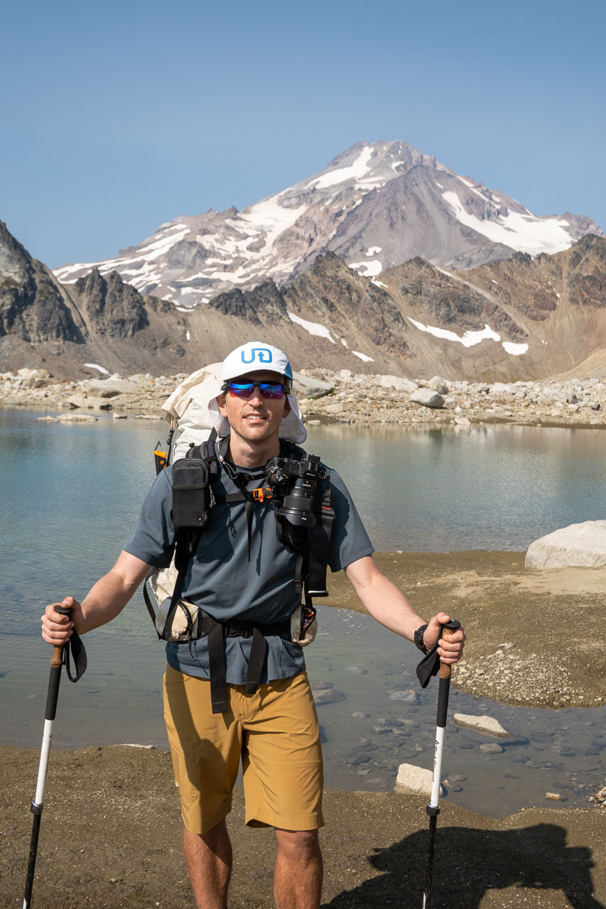
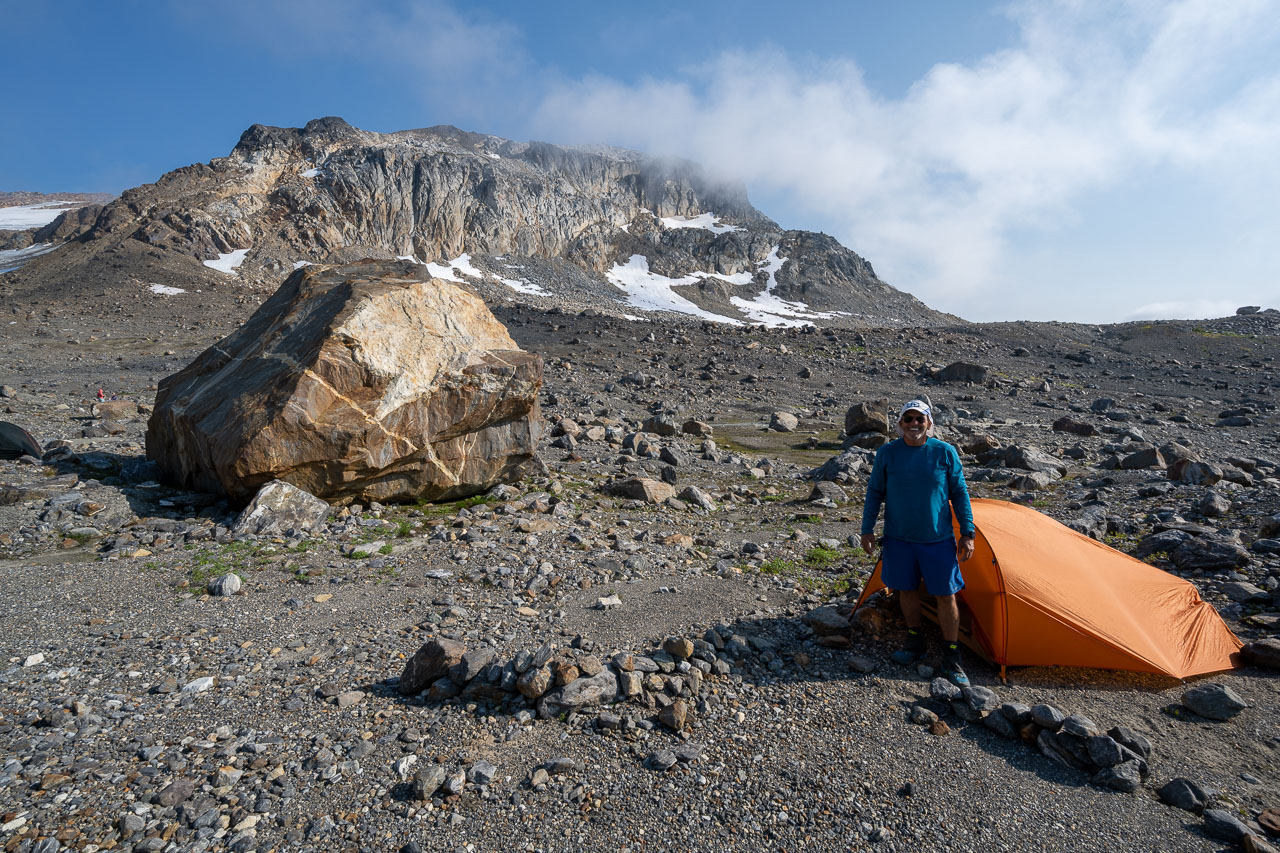
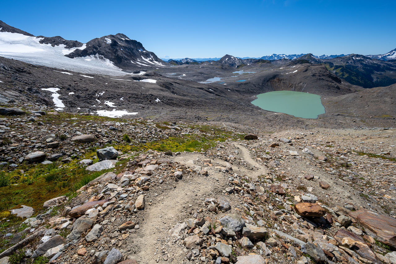
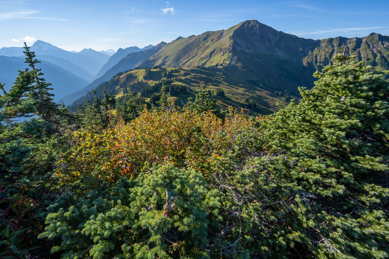
As we continued toward the peak we were debating where to camp for the night. There was still plenty of daylight left, but the idea of moving camp higher up on the mountain didn’t sound very appealing considering we would be hiking out the following day. Eventually we found a spot near a large meltwater stream coming off the White Chuck Glacier. After setting up camp there was still enough time that I decided to do a short hike to an unnamed bonus peak, Peak 6810, which was about a mile to the west.
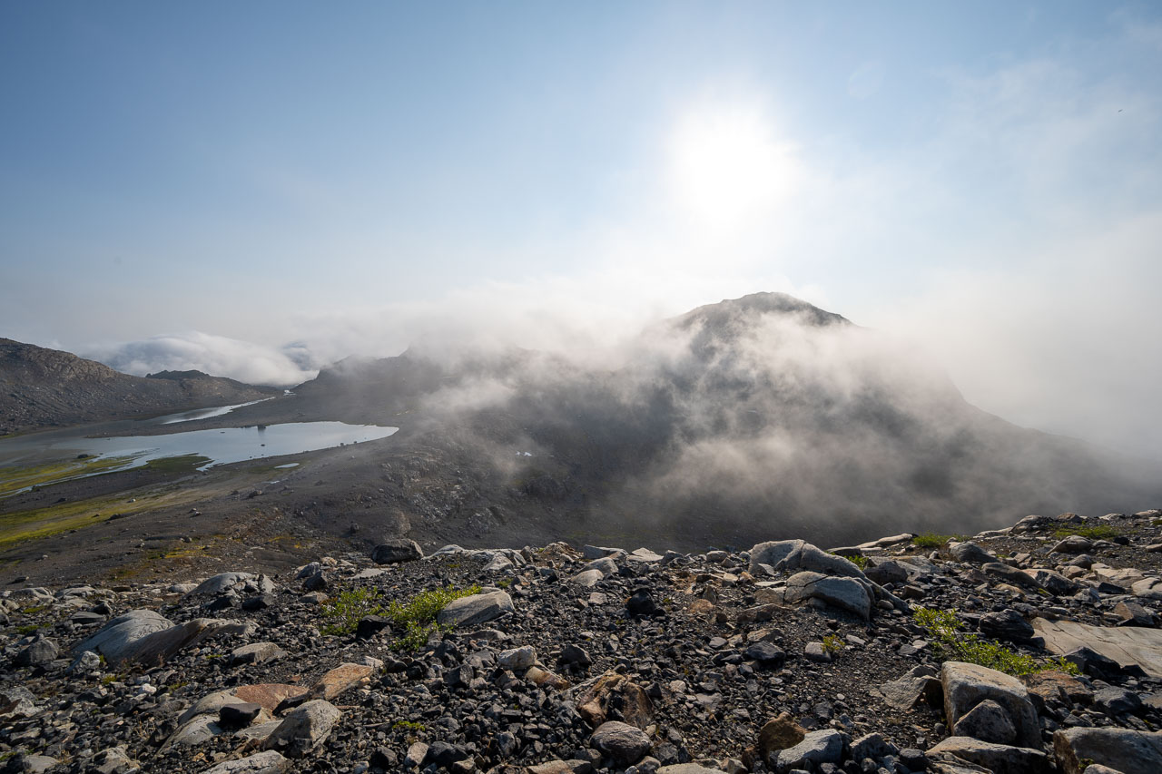
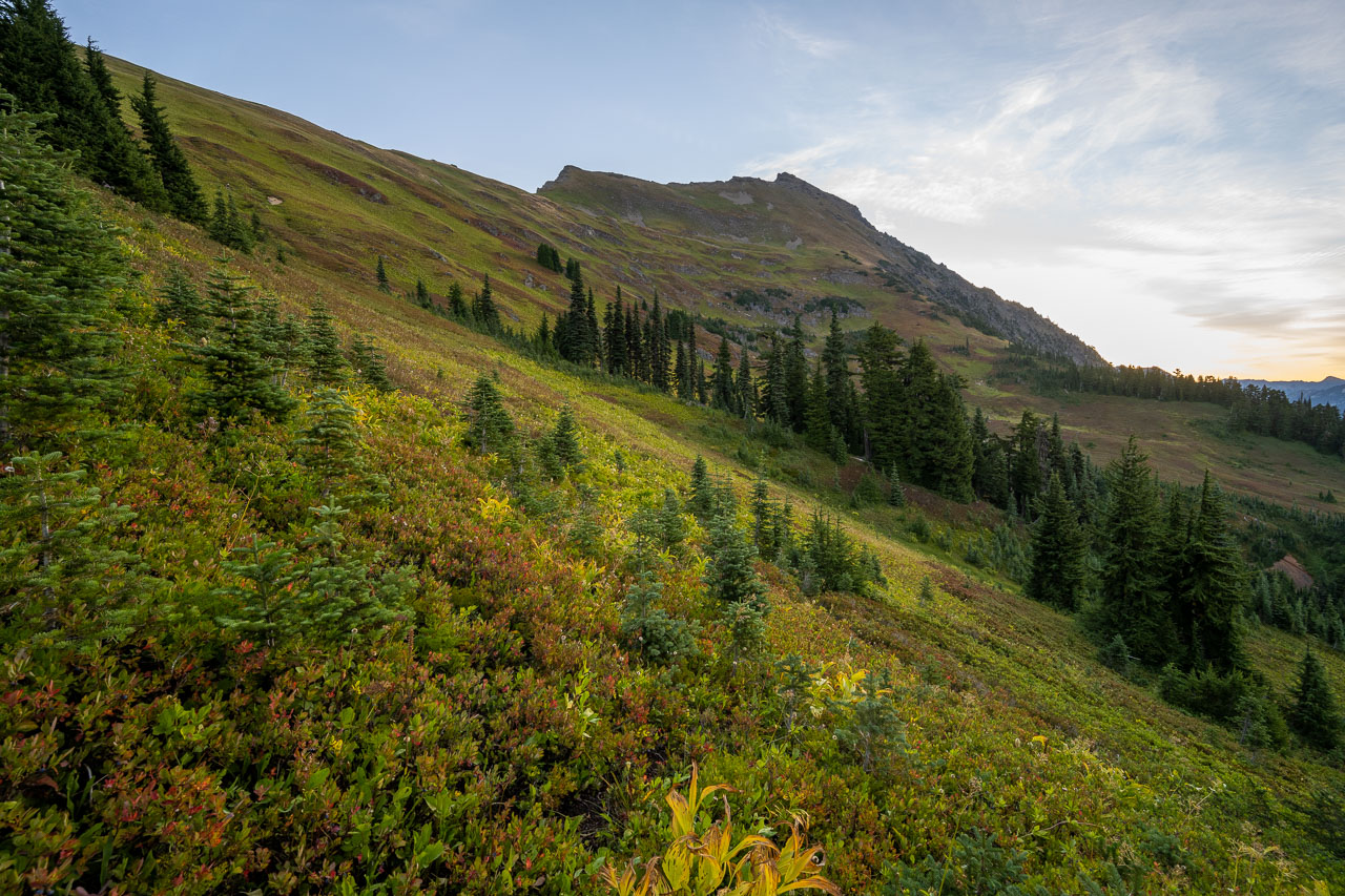
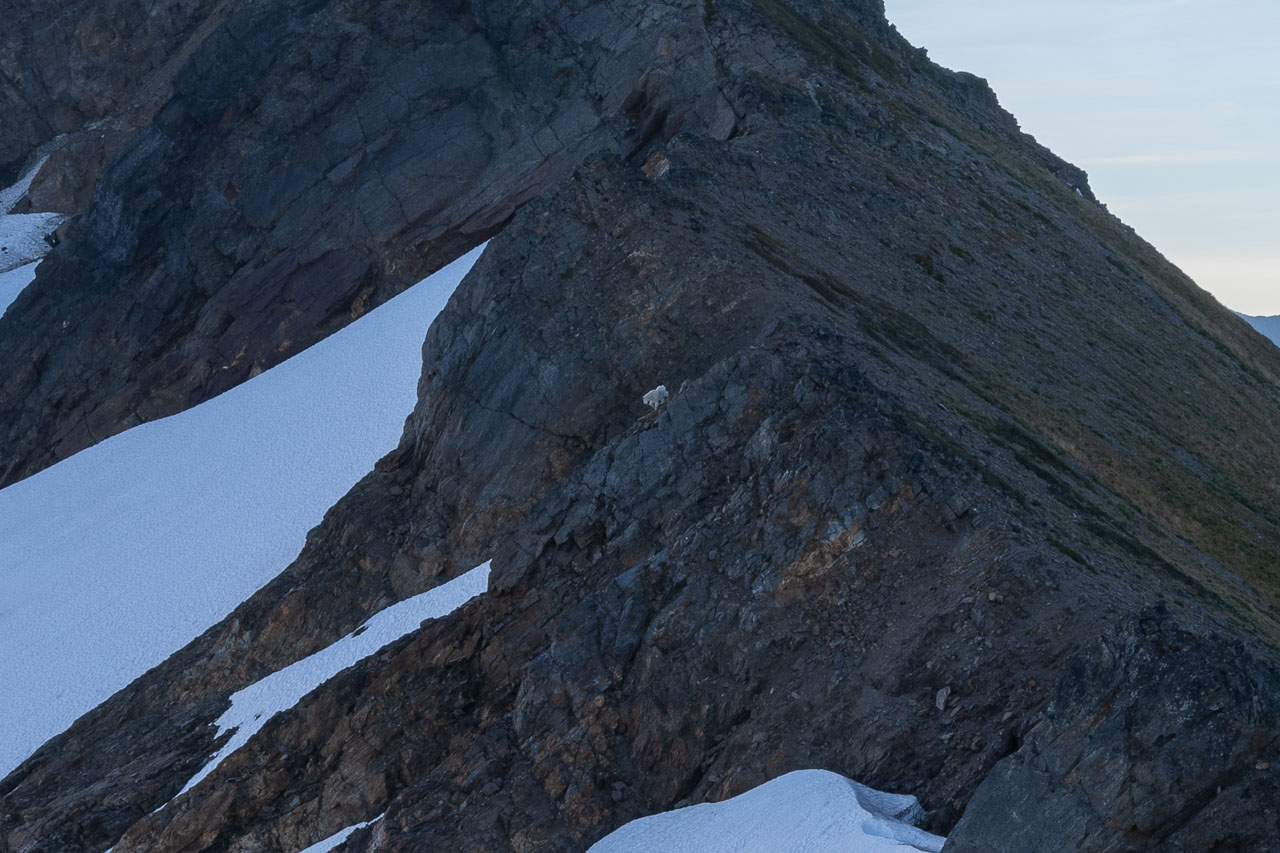
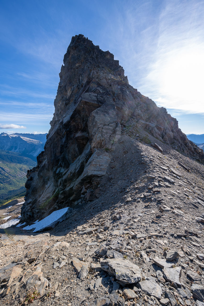
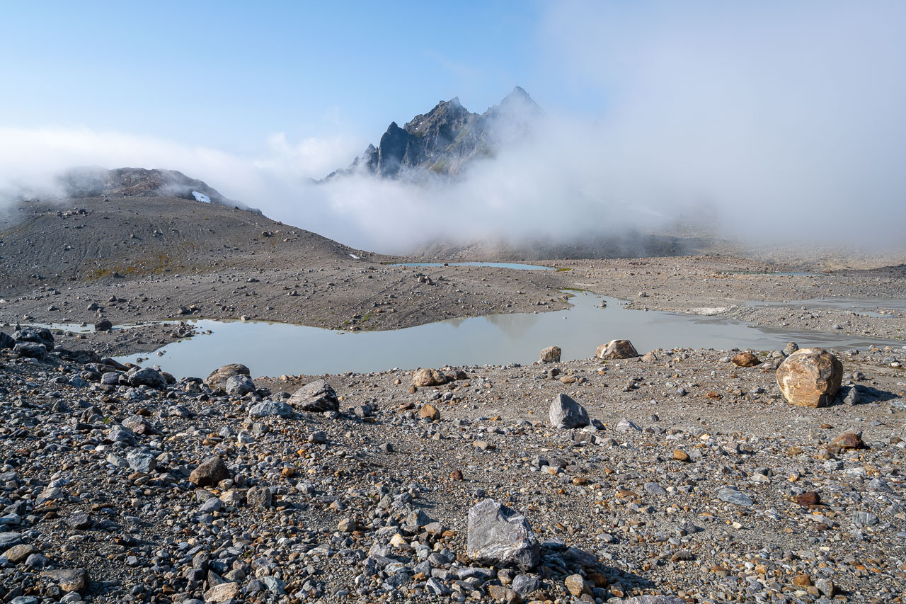
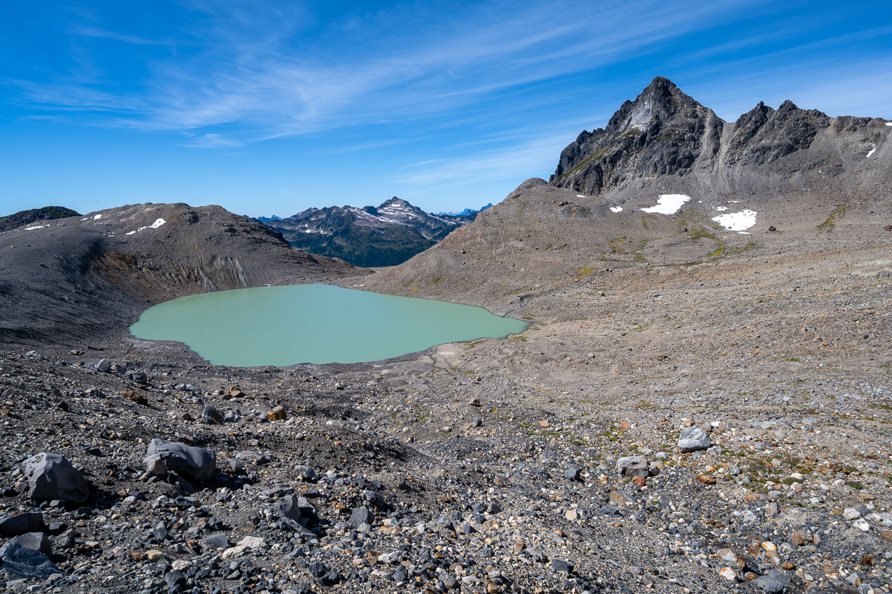
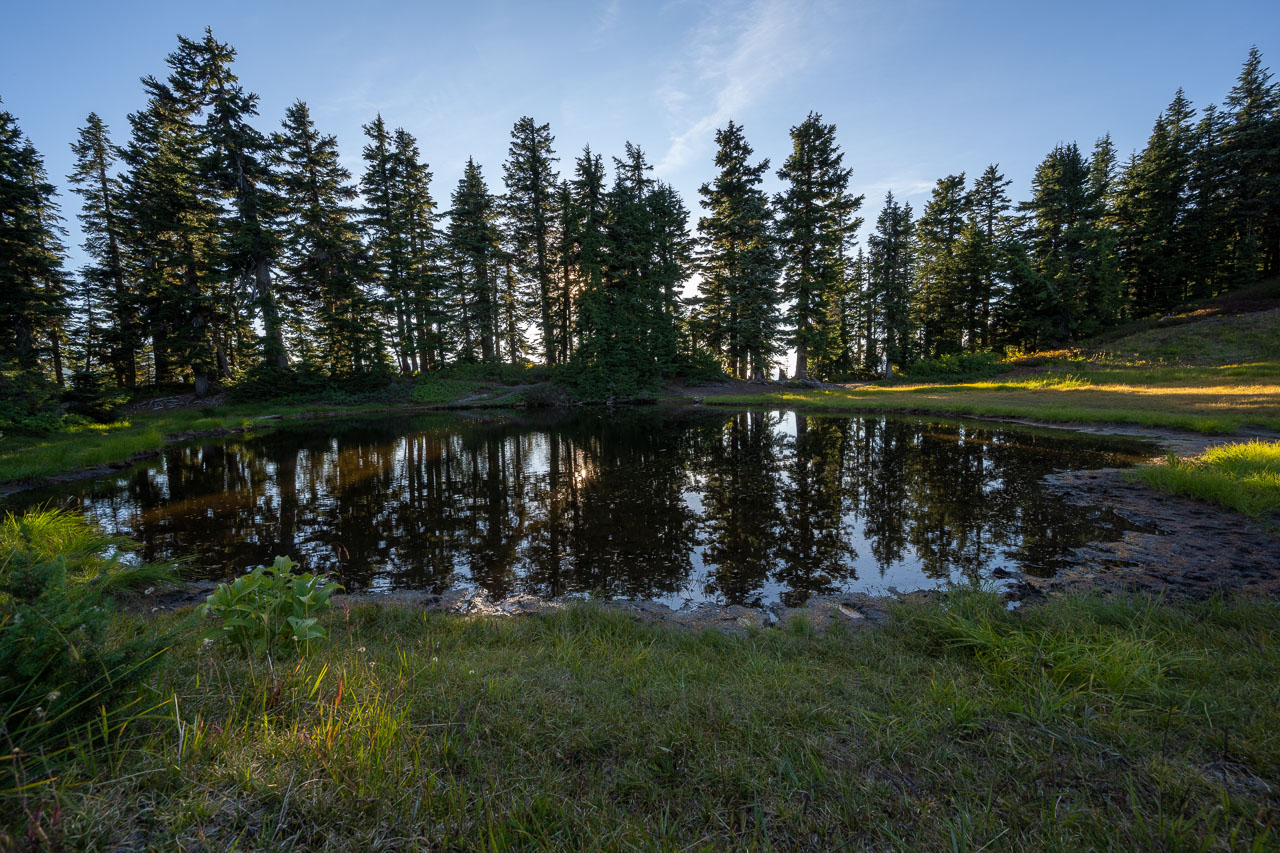
The skies had been clear for the last couple hours, but as I approached Peak 6810 the mist began to blow in from the west. I passed a large meltwater pond in the basin below the peak, then took a rocky ramp leading up to the south ridge. From there an easy slope led up to the summit. To the north there would have been a nice view of Baekos Peak and Glacier Peak, but unfortunately the mist had mostly hidden the peaks. I took a break at the summit to see if the conditions would improve, but eventually settled for a partial view during a brief clearing.
On the way back a helicopter passed overhead and landed somewhere on the Suittale Glacier on the north side of Kololo Peak. Over the next couple hours, the helicopter returned several times. We couldn’t tell exactly where they were landing because it was on the other side of the ridge, but we assumed they must be performing a rescue of some kind. Eventually the helicopter left for the final time in the late afternoon and we were left to wonder what had happened. We got to bed early that night for a planned headlamp start the following morning.
17.4 Miles, 5750 Gain
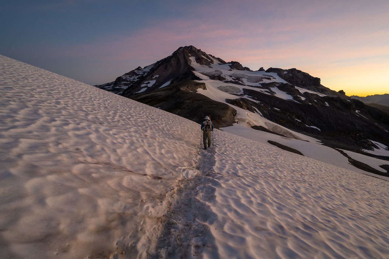
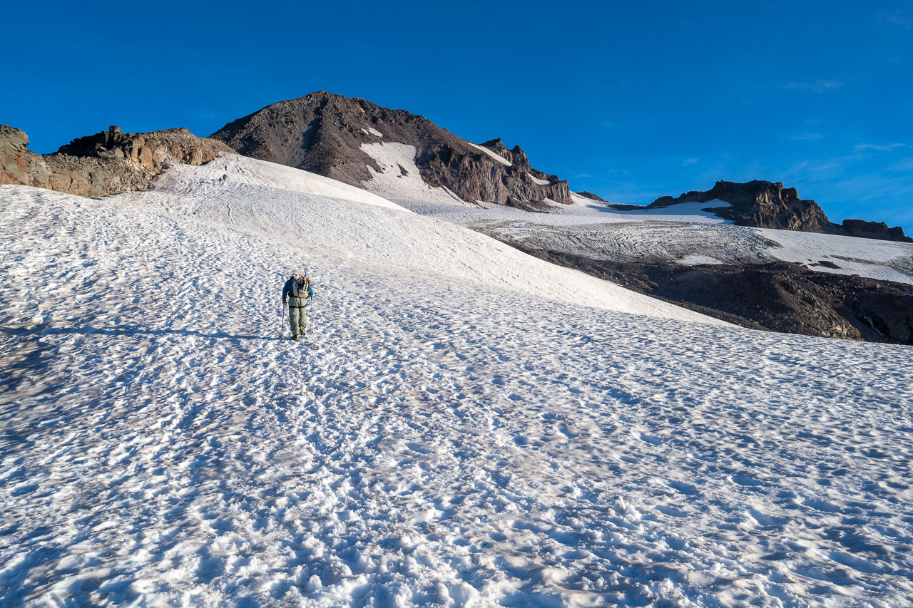
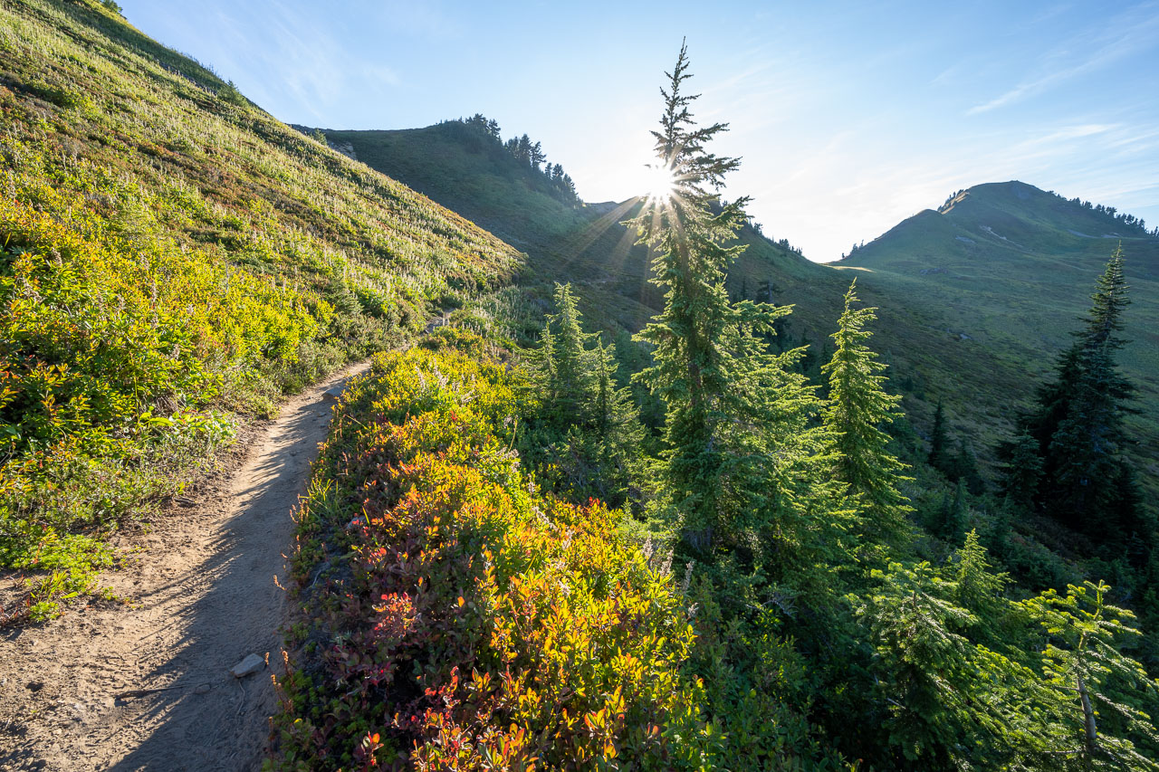
We got up in the predawn hours and got ready for the hike to Glacier Peak. The weather was perfect with clear skies and almost no wind. It was a holiday weekend, so there were a large number of other groups camped nearby that were also getting ready to head up the mountain. We soon picked up the climber’s trail leading toward the peak and started following that by headlamp. As we were rounding the bend towards Glacier Gap I looked back and saw a long string of headlamps stretching off into the distance. It would be a crowded day on the summit, but I guess that is to be expected for a holiday weekend.
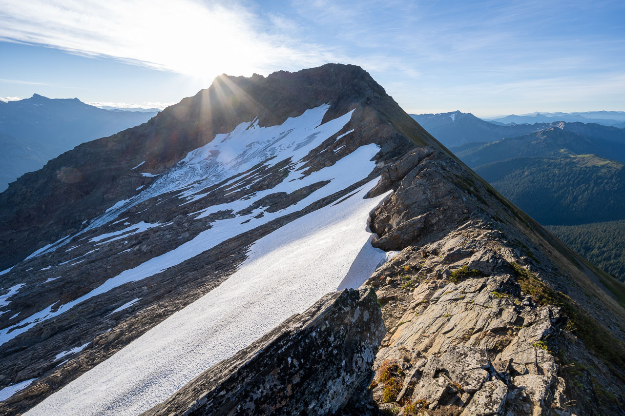
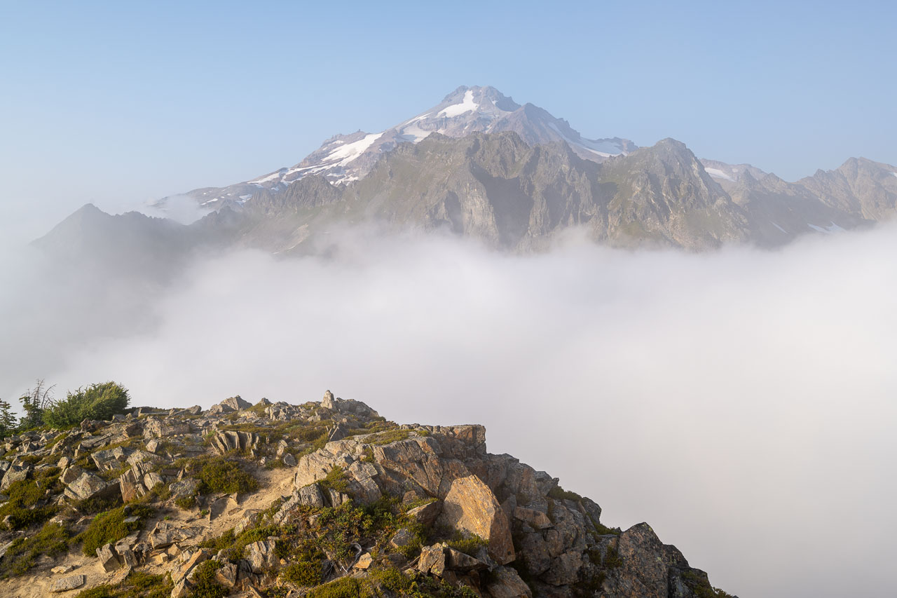
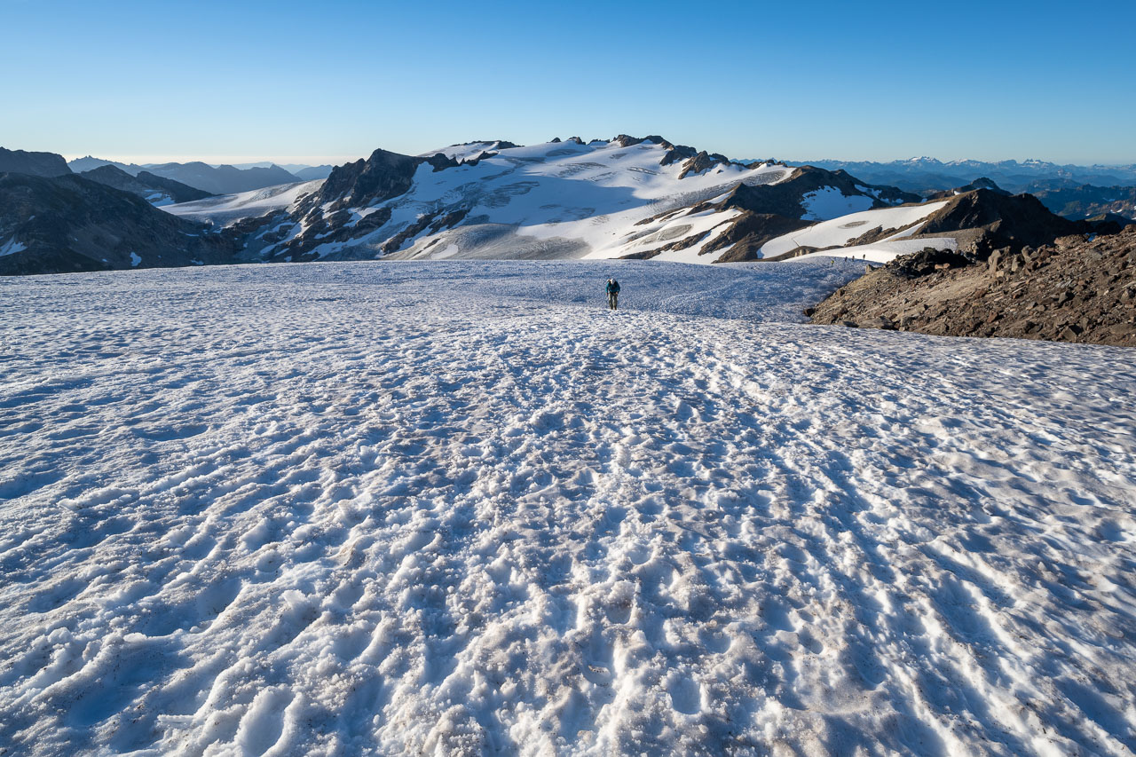
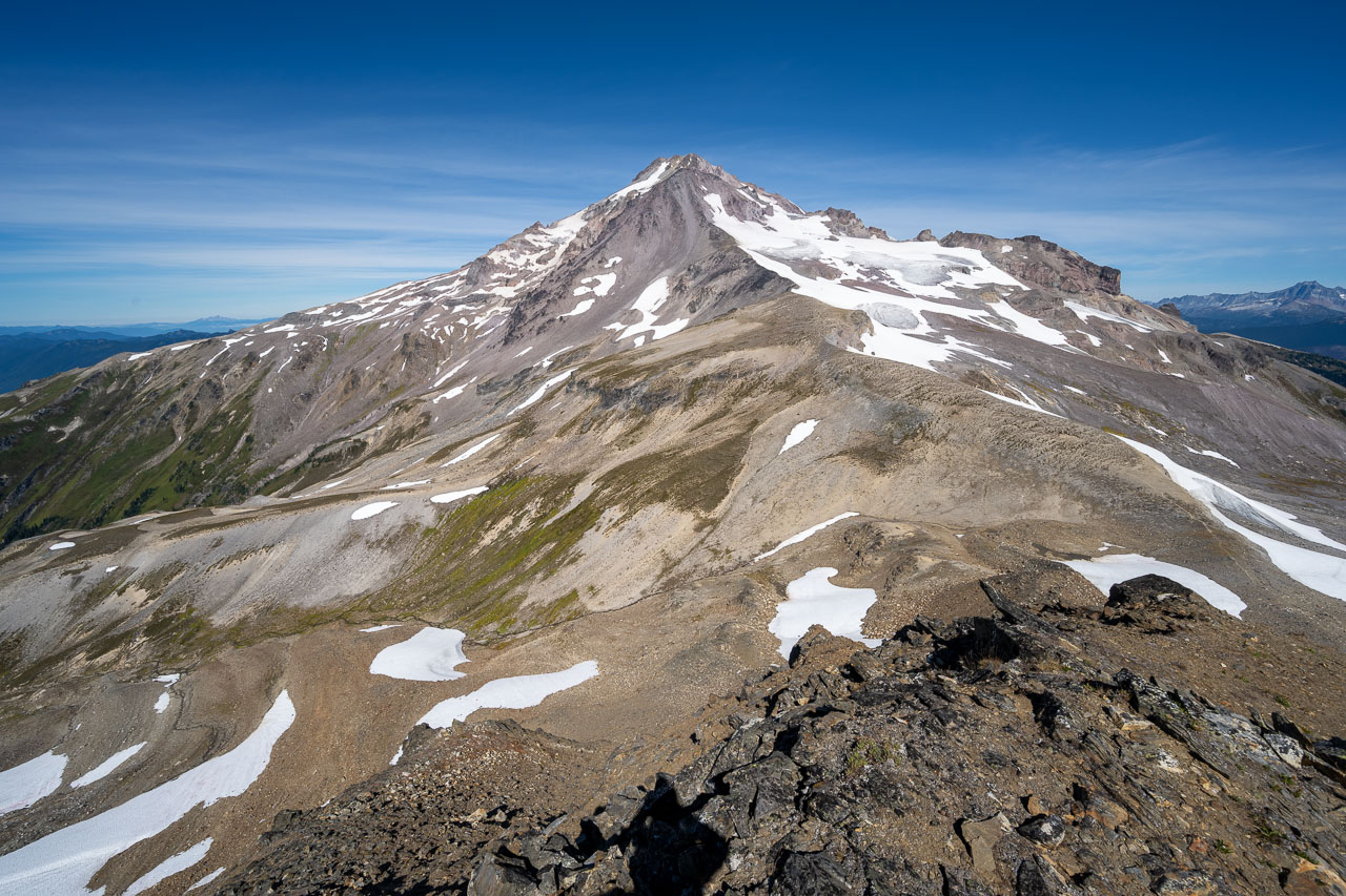
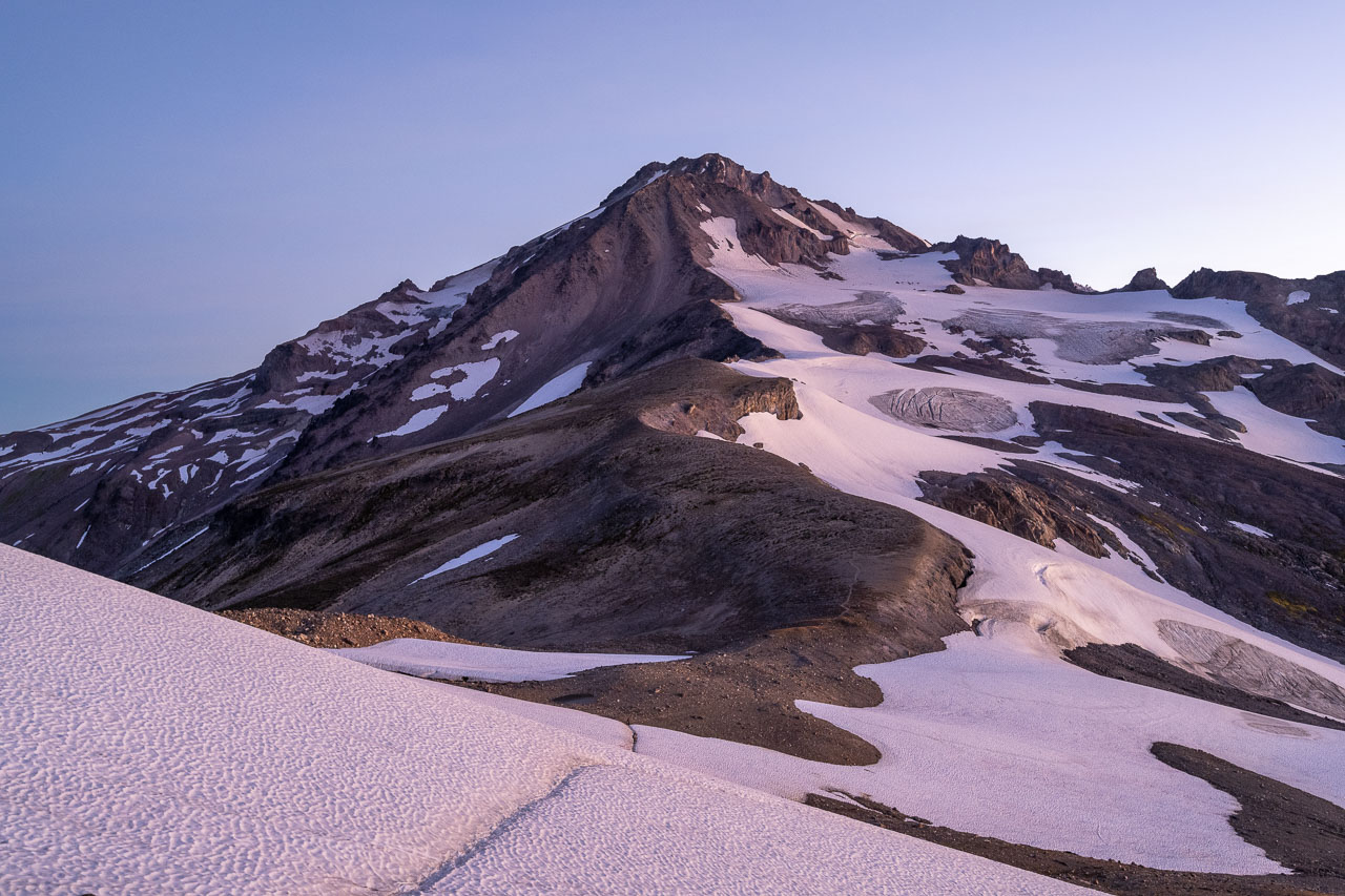
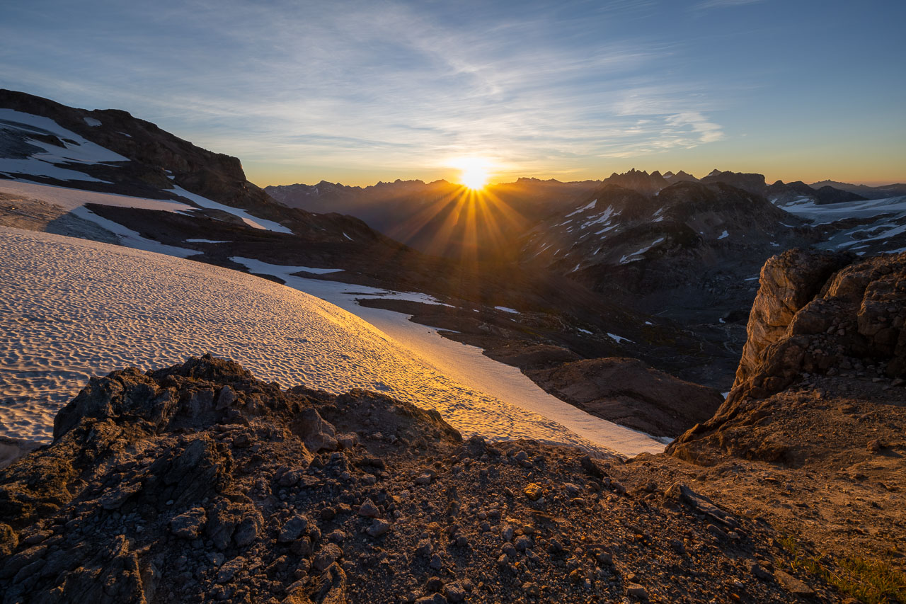
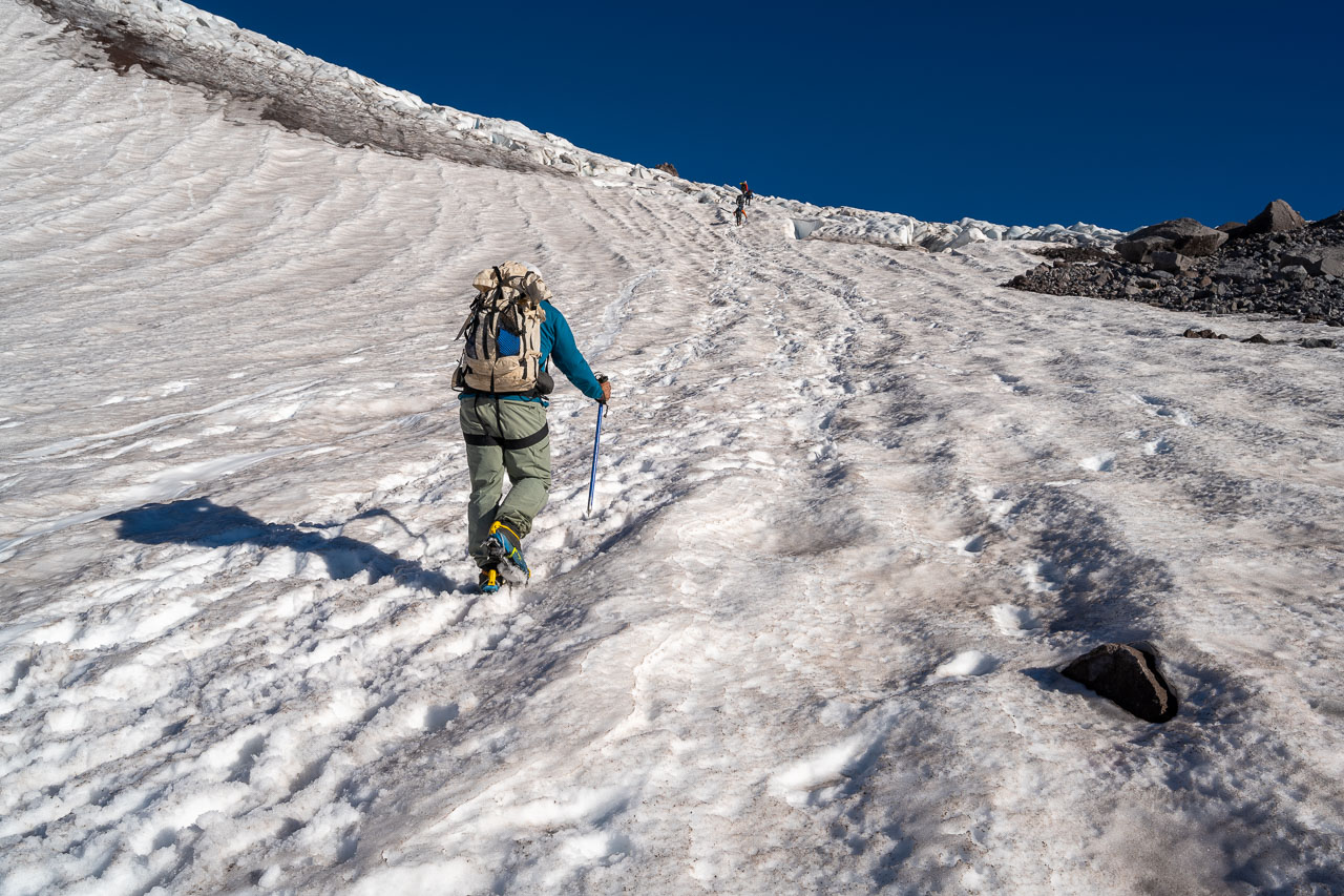
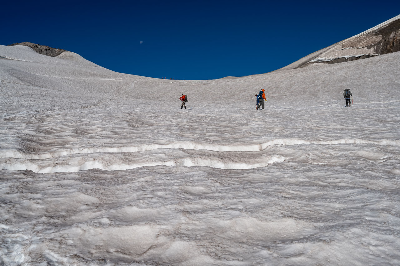
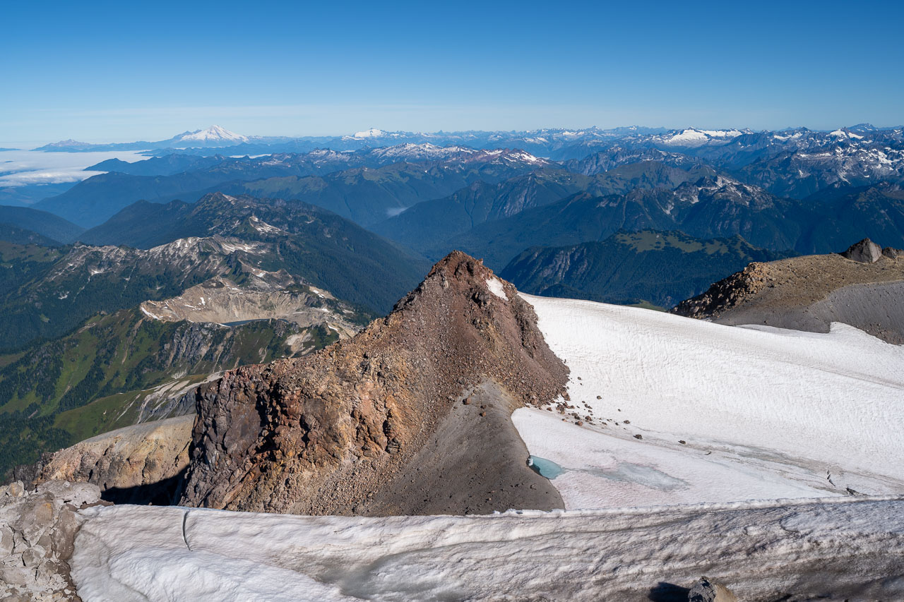
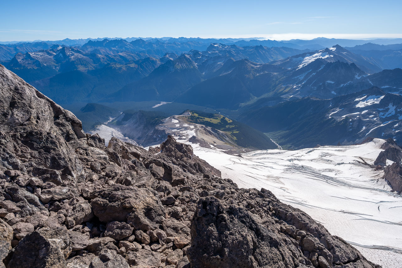
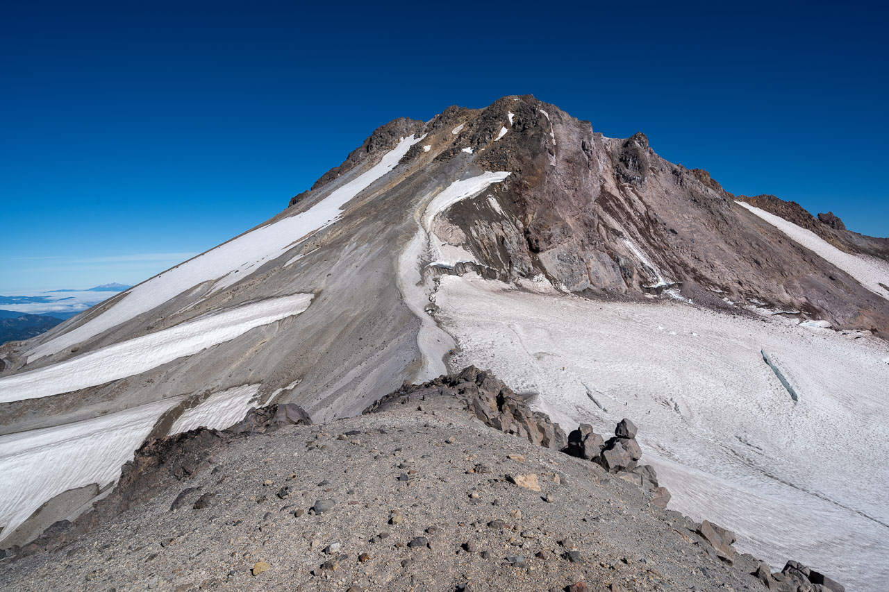
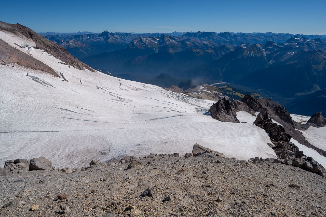
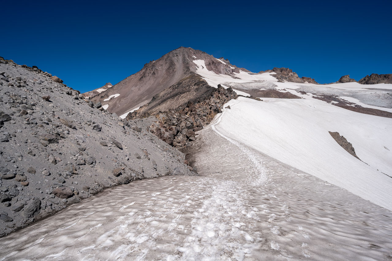
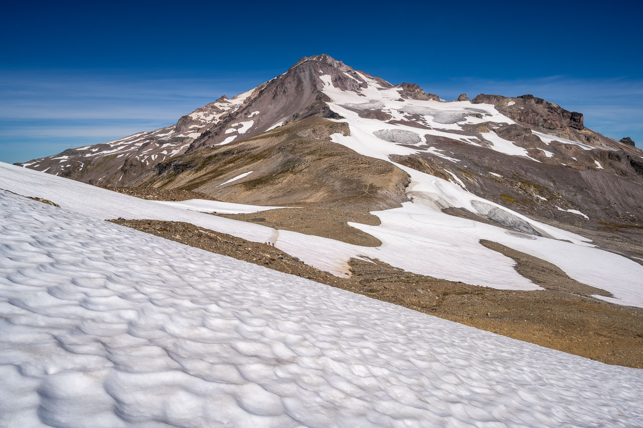
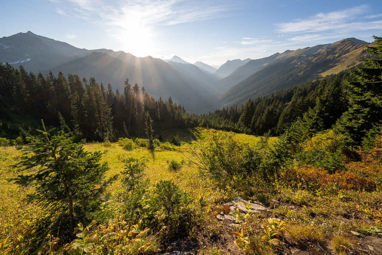
We passed a few more tents at Glacier Gap. Everyone there had apparently already left for the summit. We continued on the climber’s trail up to the small saddle on the east side of Peak 7739 (Glacier Gap Peak) and got our first clear view of Glacier Peak just as the sun was starting to rise. It was an impressive sight. This late in the season there were several large sections of exposed ice with plenty of crevasses visible. Fortunately, there is a well-established path that avoids the crevasses on the Gerdine Glacier. We followed the path on exposed rock on the left side of the glacier before it eventually made sense to transition over to the snow. We put on our lightweight crampons and started following a few other groups across the glacier.
Gradual snow slopes eventually led to a steeper section just below the transition to the Cool Glacier. There were a few groups that had stopped to rope up here. I had talked with some of the people that had come down the previous day that mentioned making it through without a rope, so we both decided to head up un-roped and see what the crevassed area looked like. The broken ice at the transition between the two glaciers is only about 200ft long, and it was pretty easy to follow the path that others had taken. There were some exposed crevasses, but they were pretty easy to avoid with crampons. As we were making our way through, someone in the group just ahead of us had their hat blow off. It landed not far from me at the edge of a deep crevasse. I was able to carefully retrieve it for them, but if it had gone a few more inches it would have fallen in.
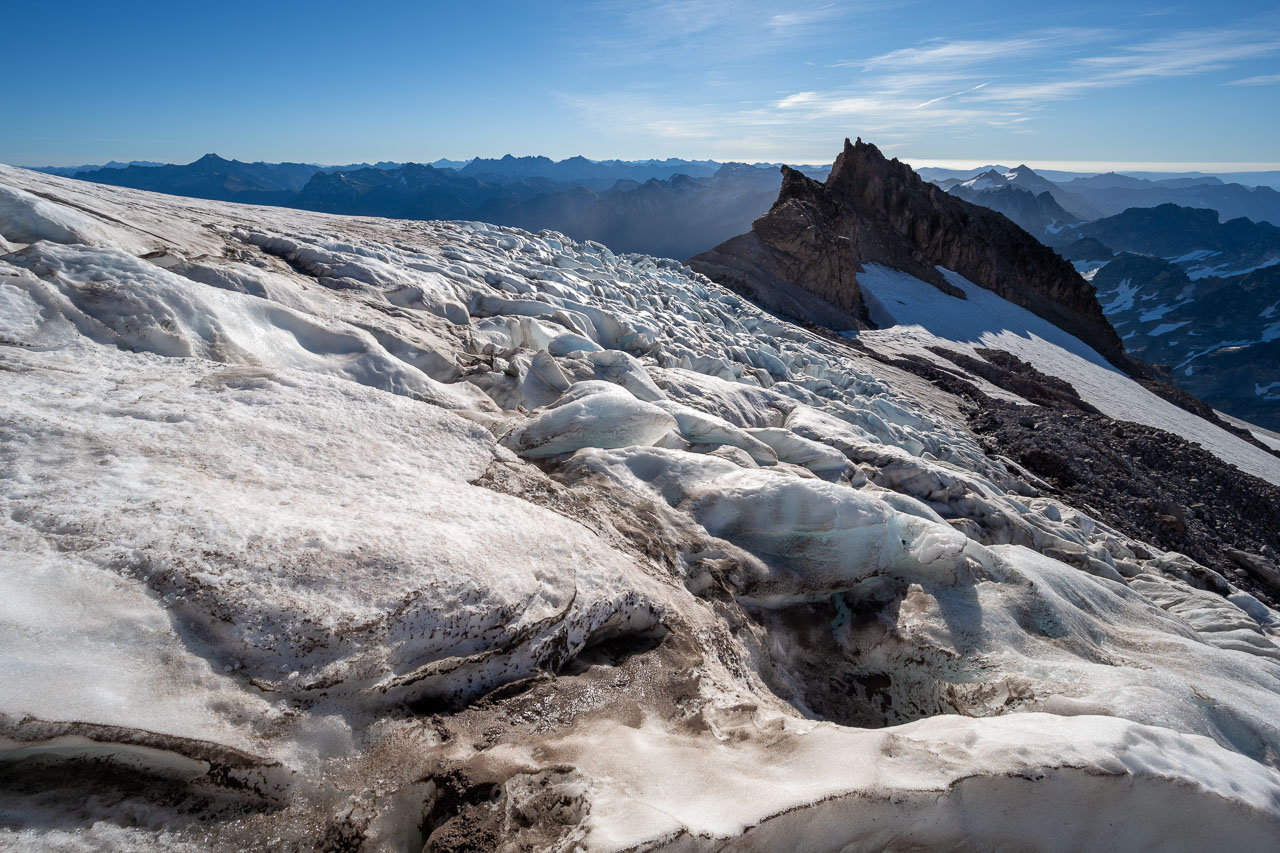
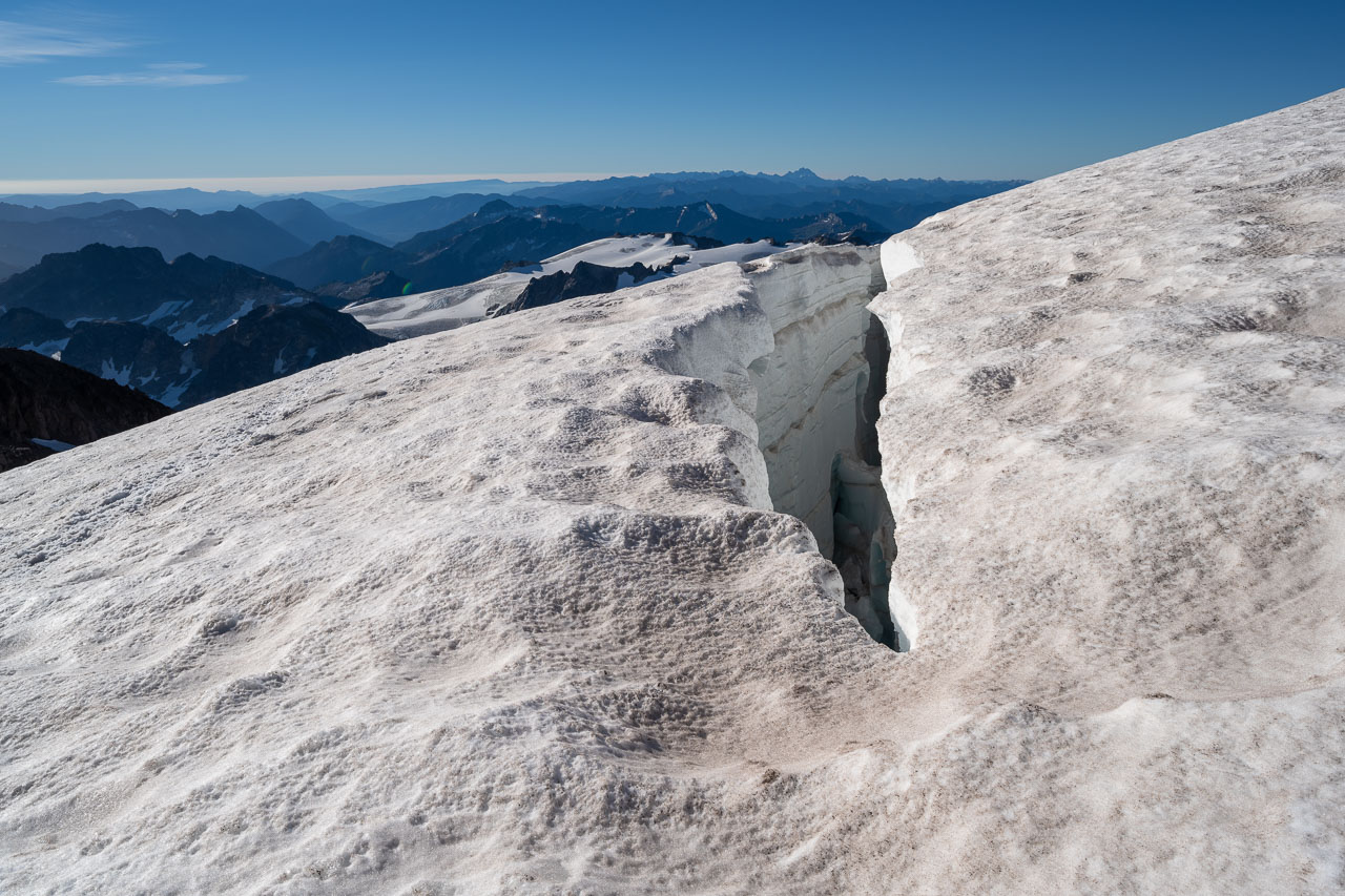
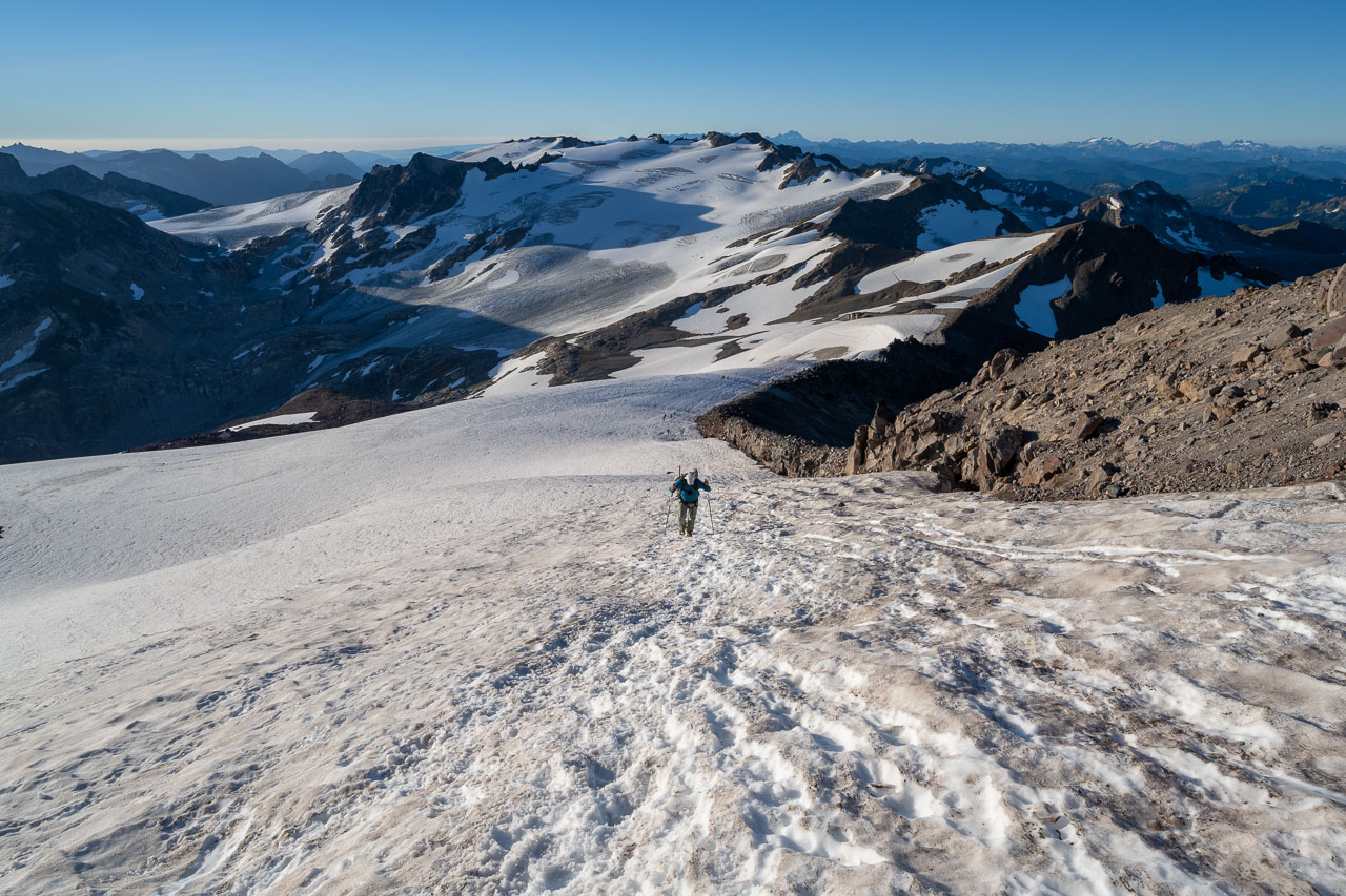
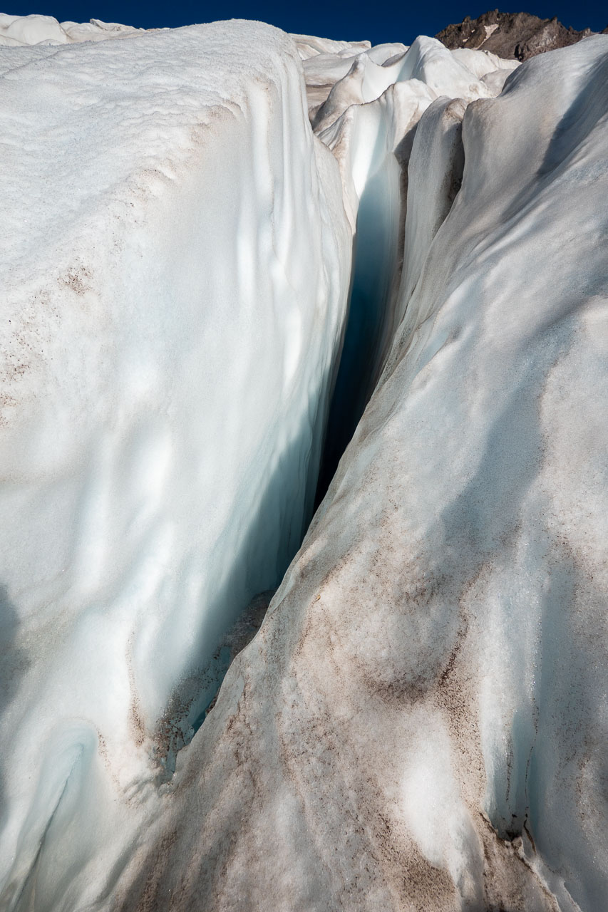
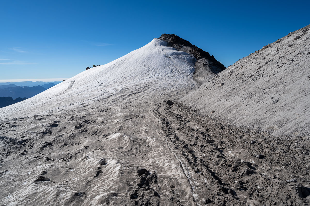
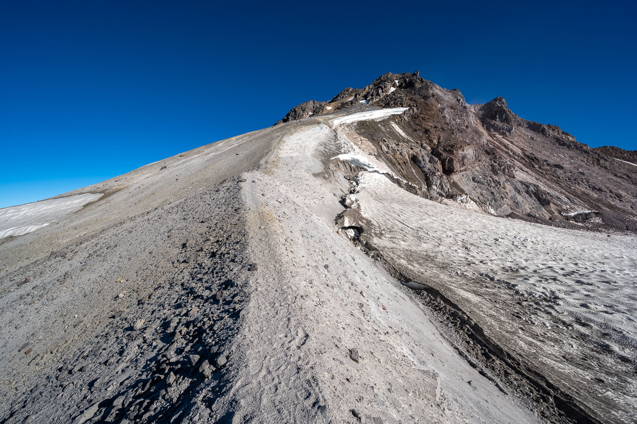
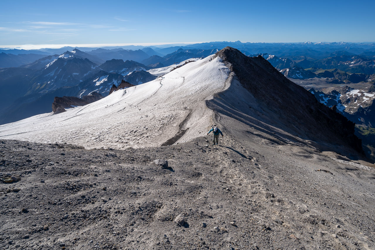
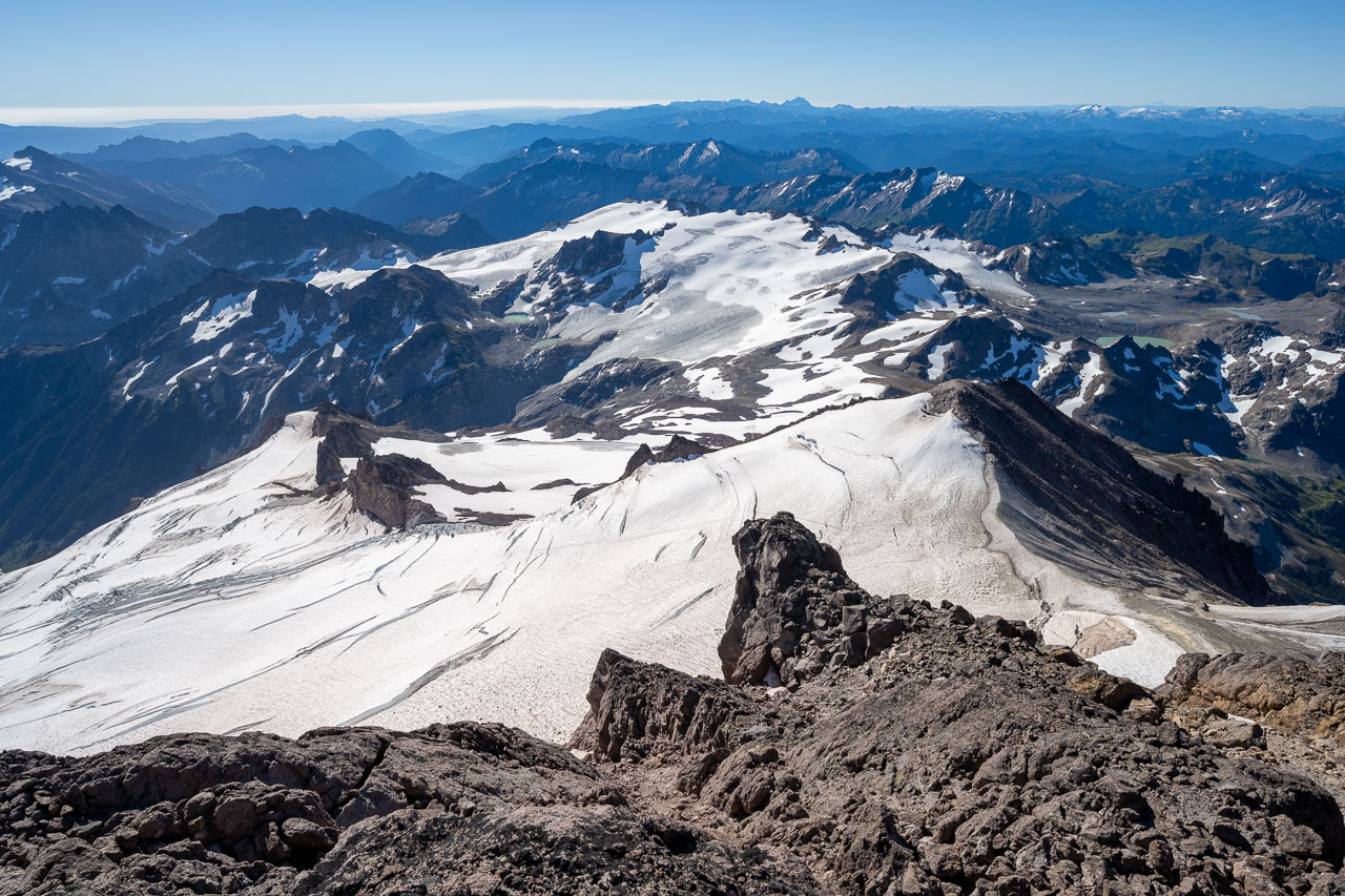
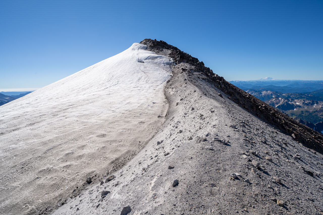
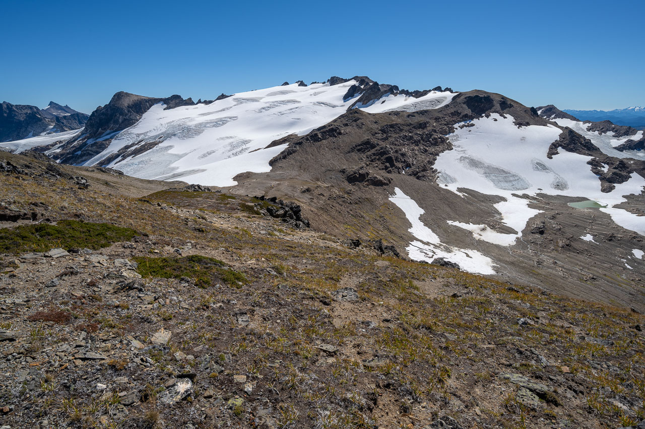
Once we made it onto the Cool Glacier there were more gradual snow slopes leading up to the south ridge. To get there required zig-zagging around several large crevasses that had become exposed late in the season. A good climber’s trail made it easy to find our way through. Somewhat ominously, there was an older climber’s trail nearby that led directly over a gaping crevasse that was now several feet wide. At the top of the Cool Glacier, we transitioned out of our crampons and onto the volcanic south ridge of the peak. There was some loose rock in the final chute leading up to the summit, but thankfully the other groups above us were careful not to knock anything down.
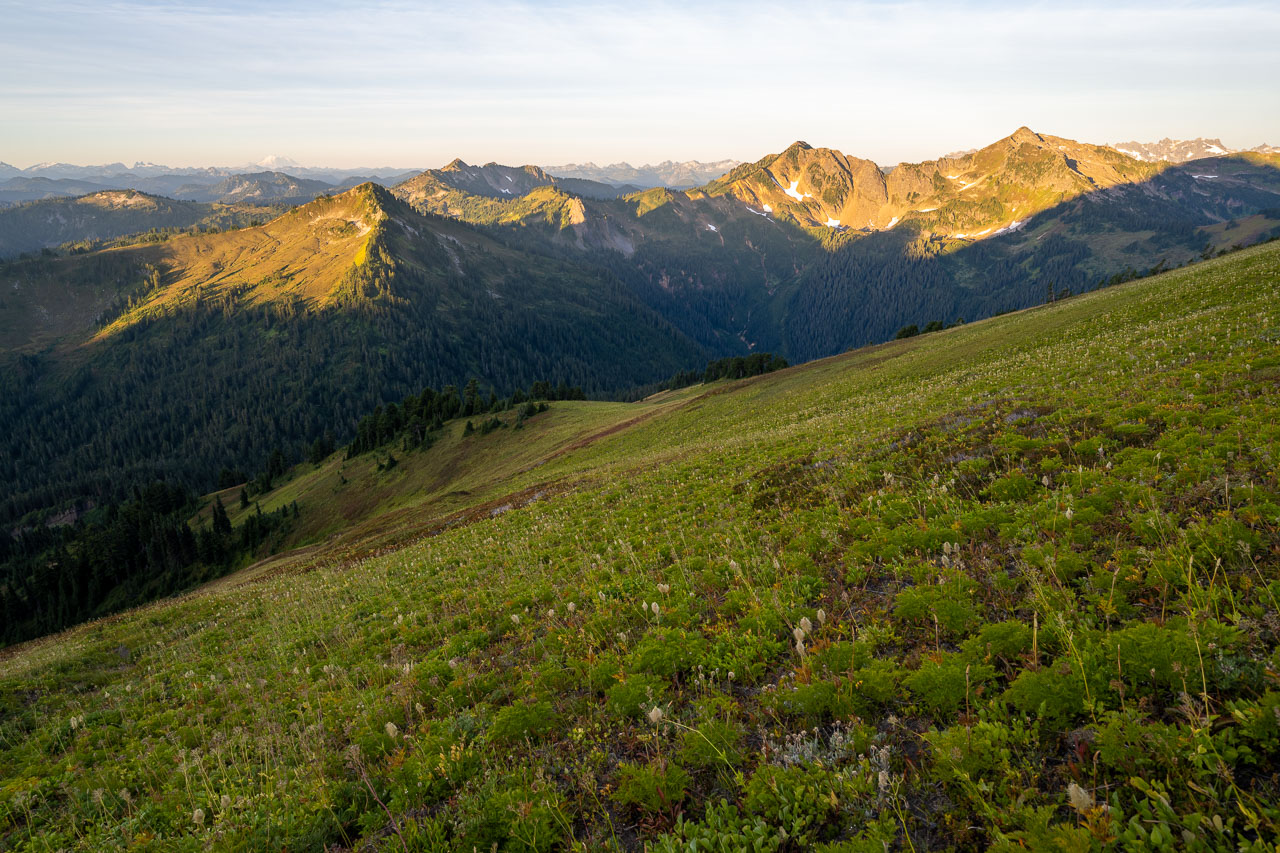
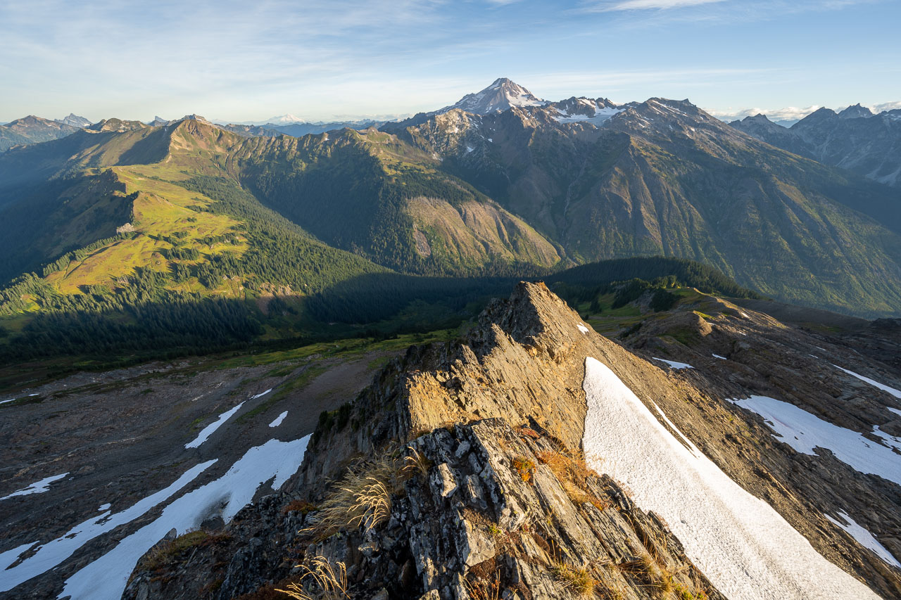
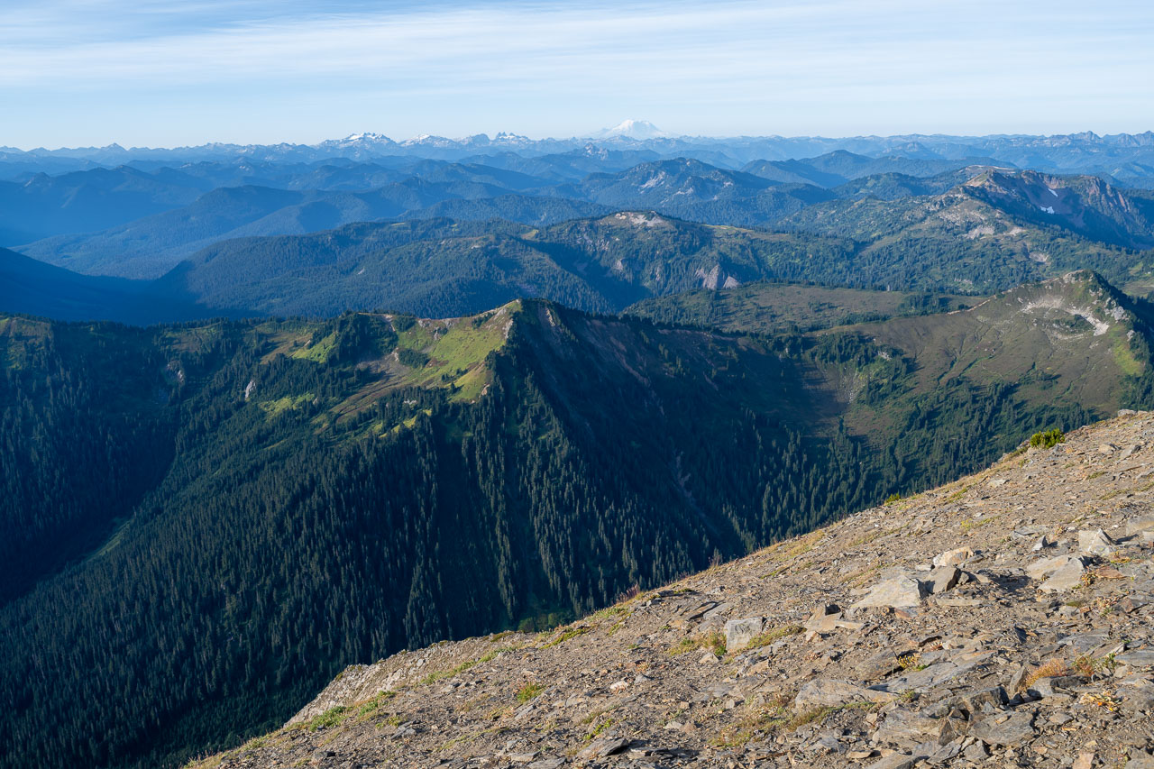
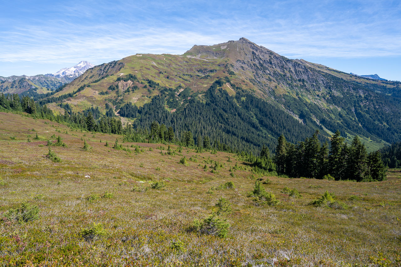
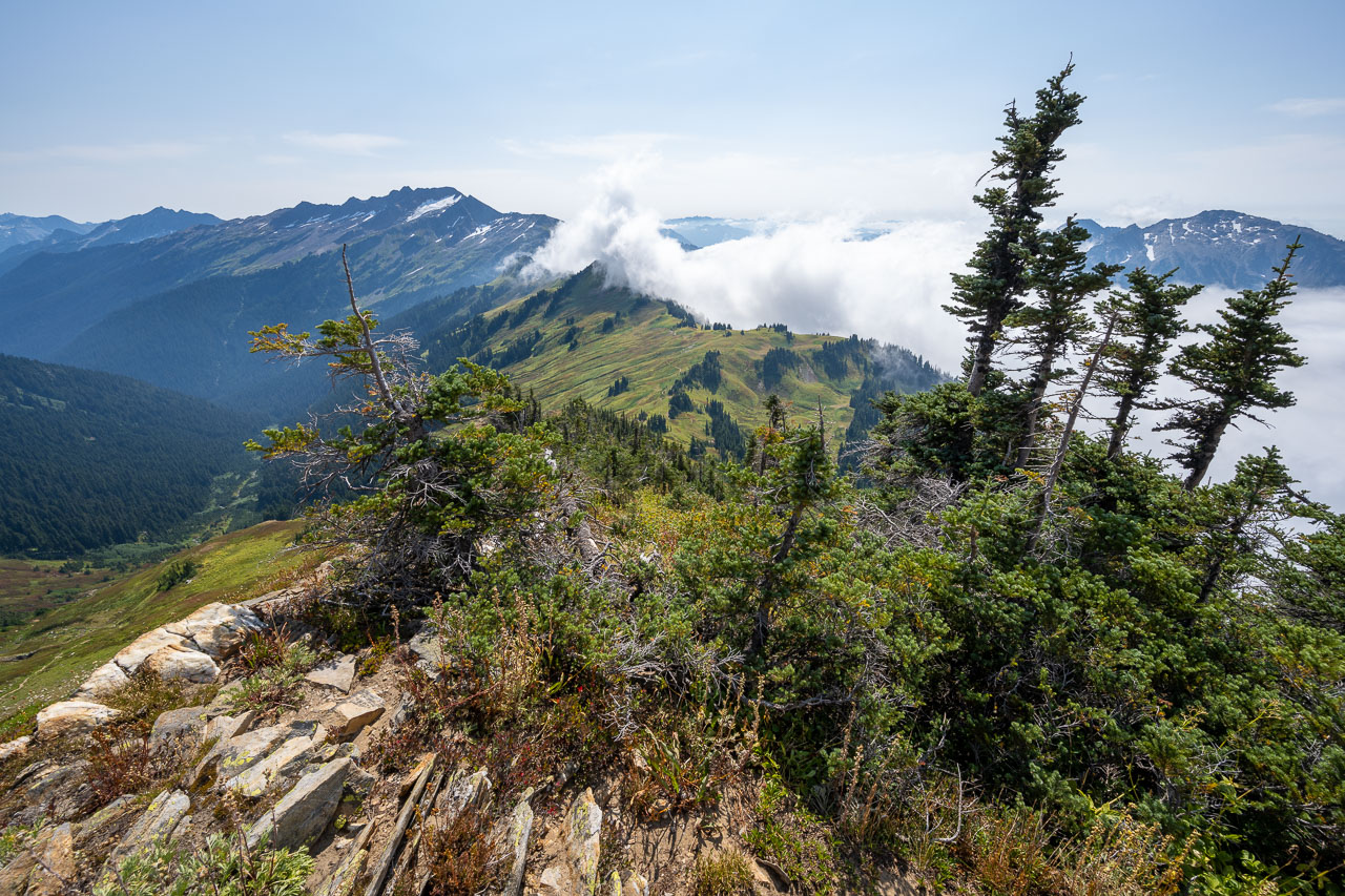
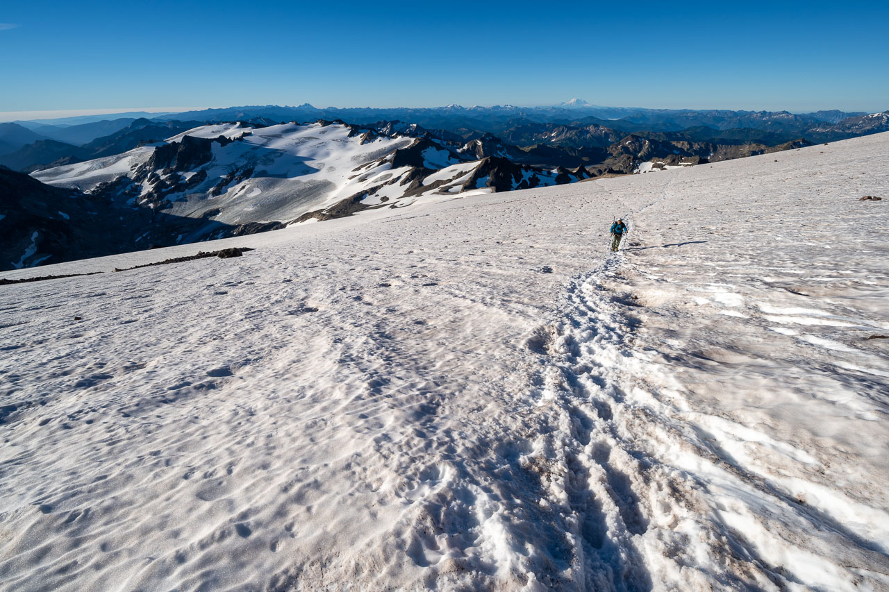
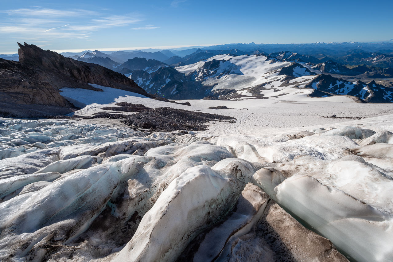
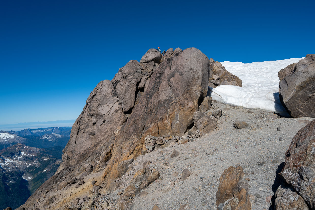
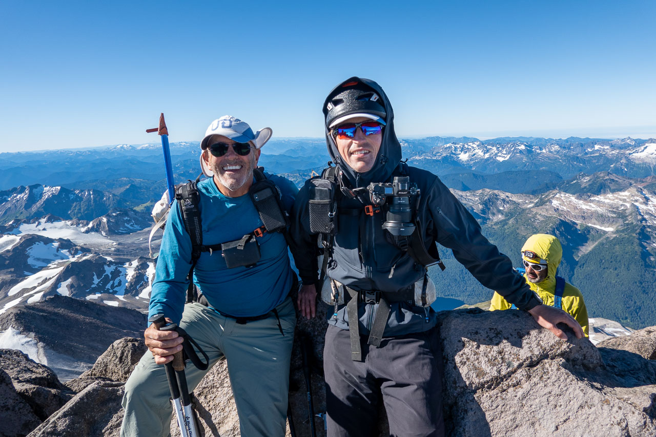
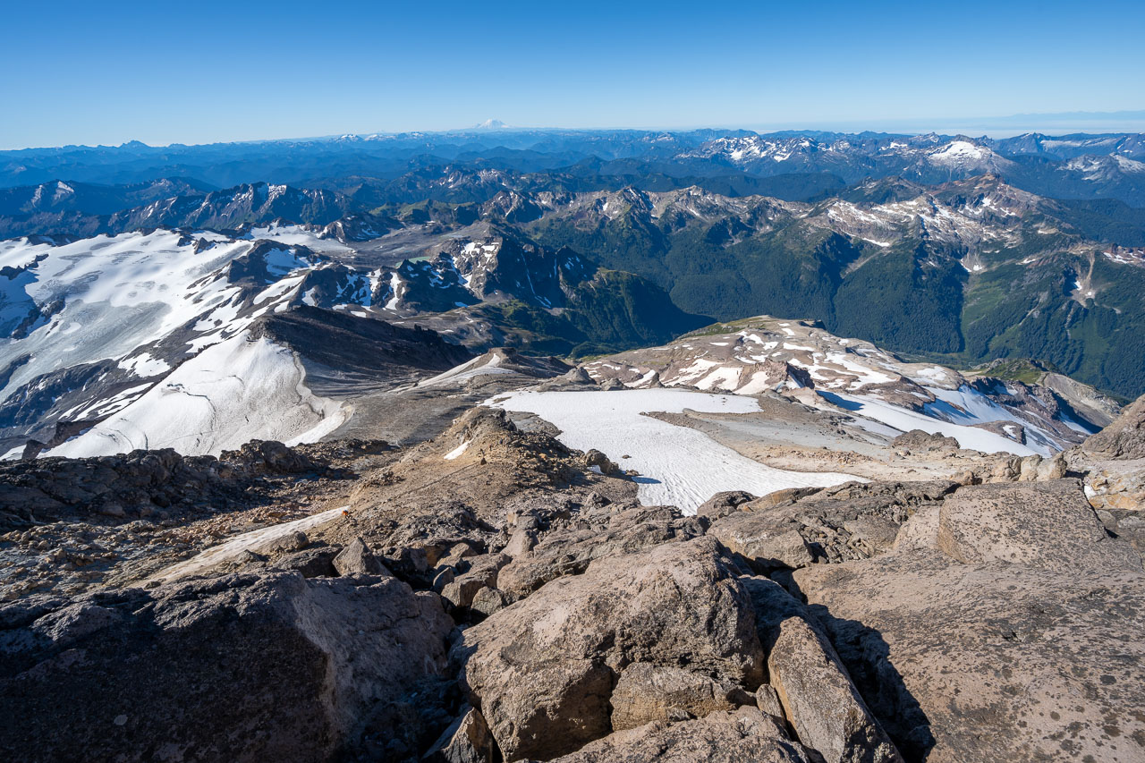
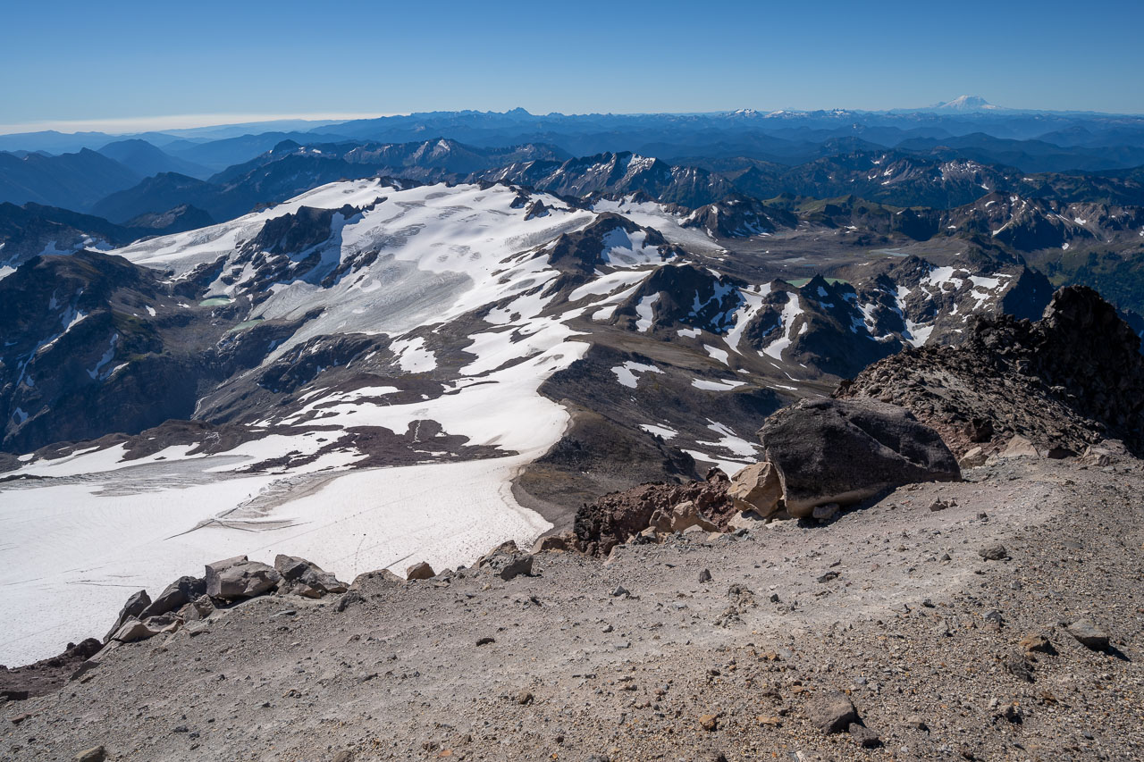
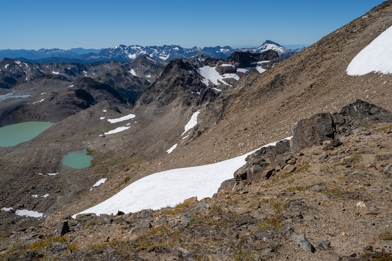
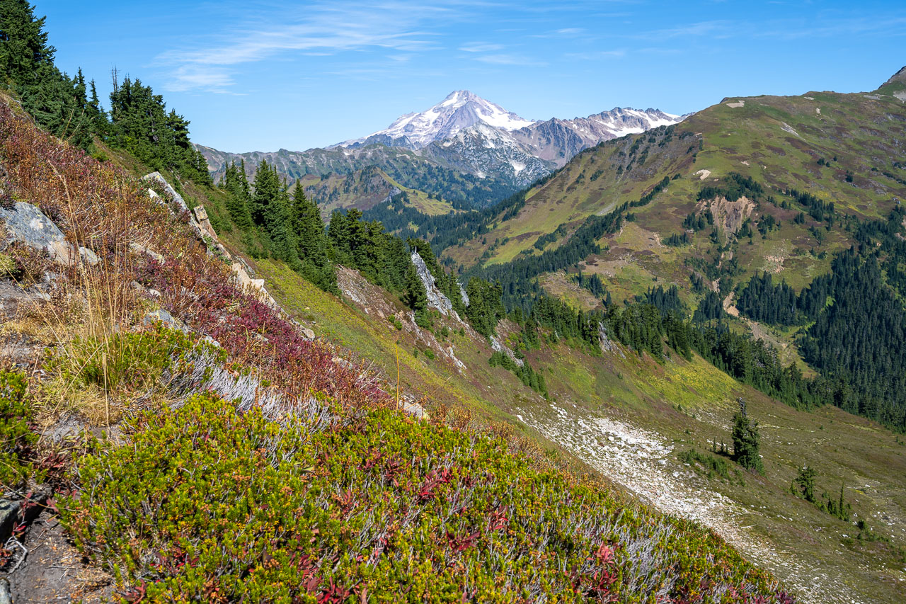
The views from the top were amazing. After weeks of smoky skies in California it was nice to finally be on a summit without having to deal with wildfire smoke. I walked around and took some pictures of the different glaciers and peaks in the area. Mount Rainier was visible to the south, and Mount Baker and Mount Shuksan were visible to the north. Seattle is a short flight from Sacramento, so this is definitely an area that I will be looking to spend more time exploring in the future. After enjoying the views, we started back down the mountain. On the way down I made a short out-and-back over to nearby Disappointment Peak. A short rocky scramble led up to the summit, which had a good view back to Glacier Peak. On the way back I also went up Peak 7739 (Glacier Gap Peak), which was a short hike off the main climber’s trail.
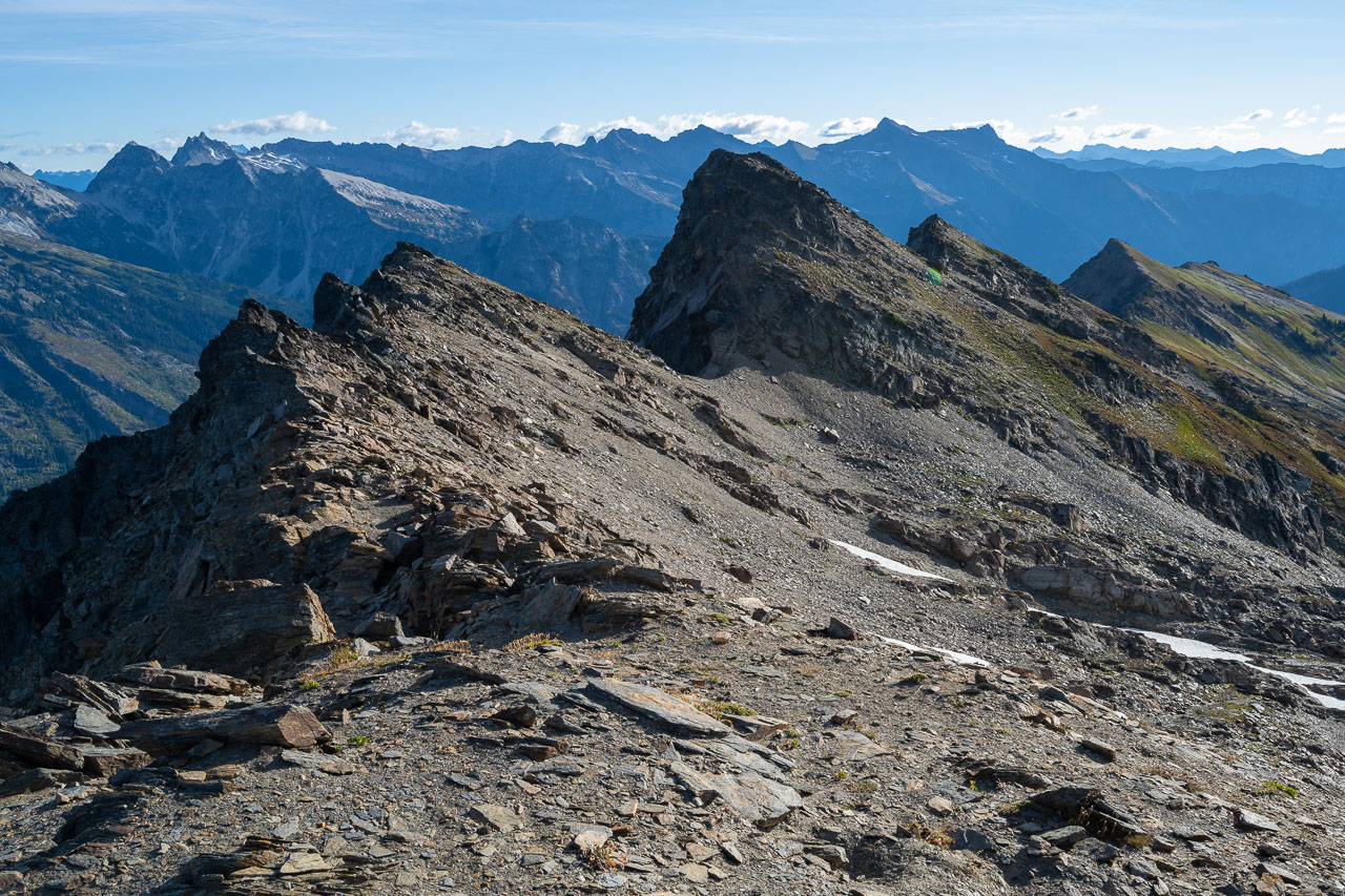
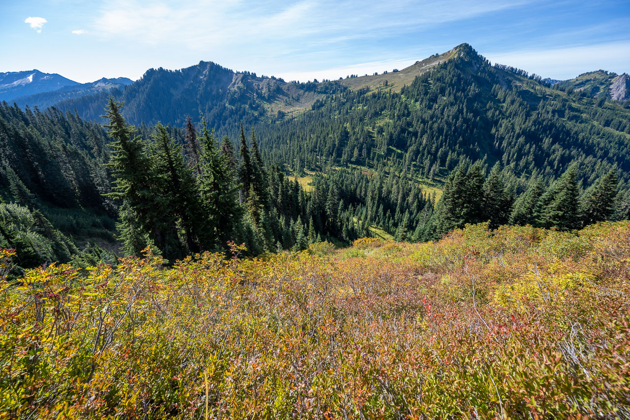
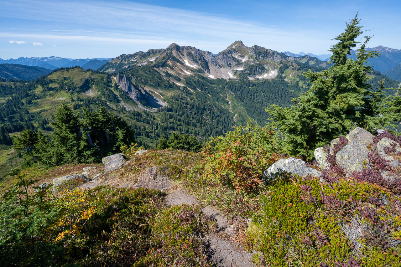
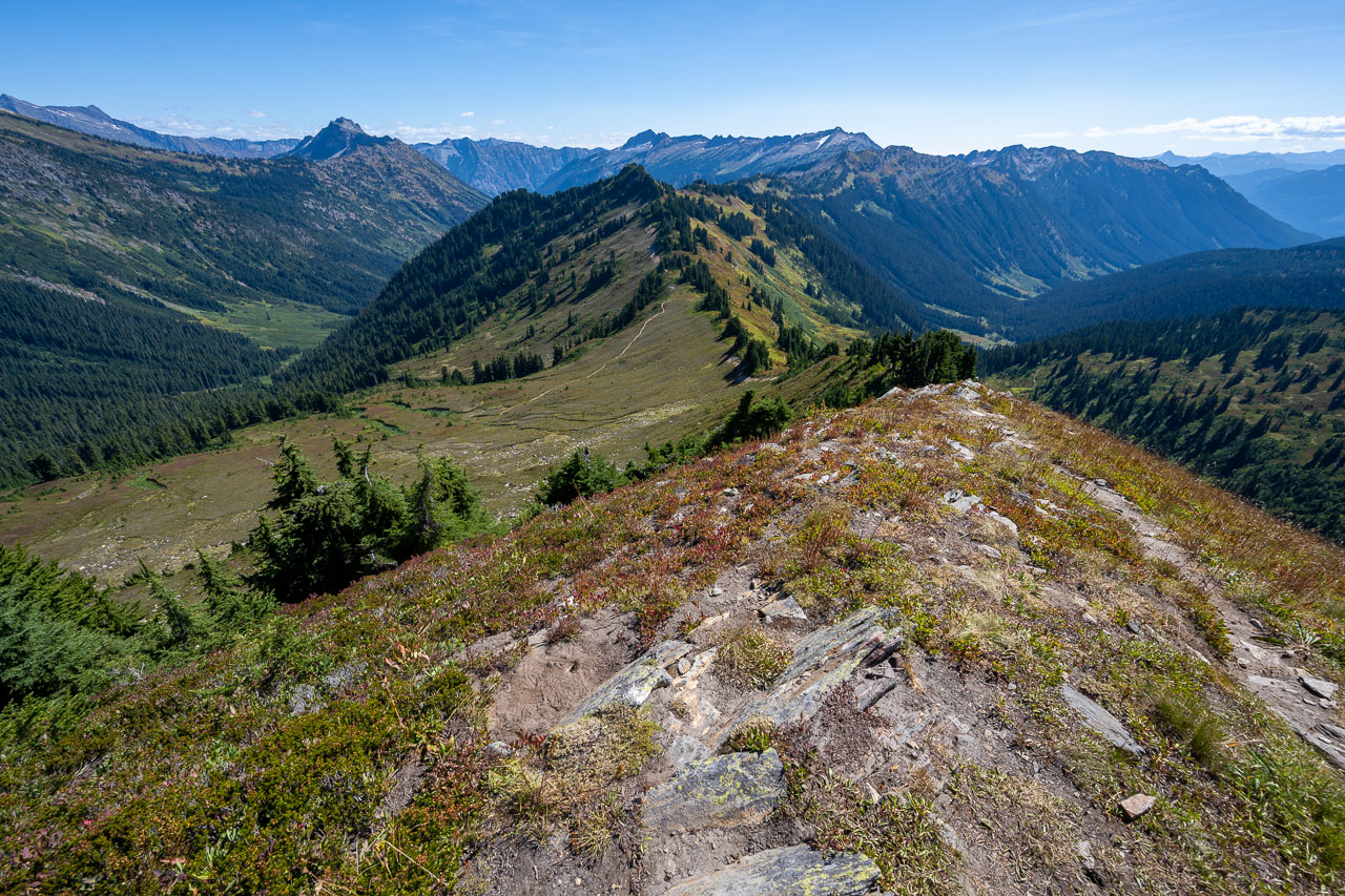
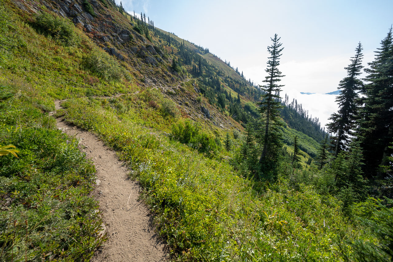
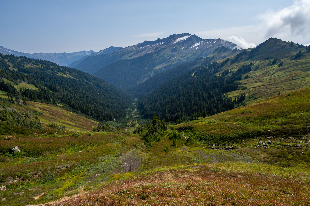
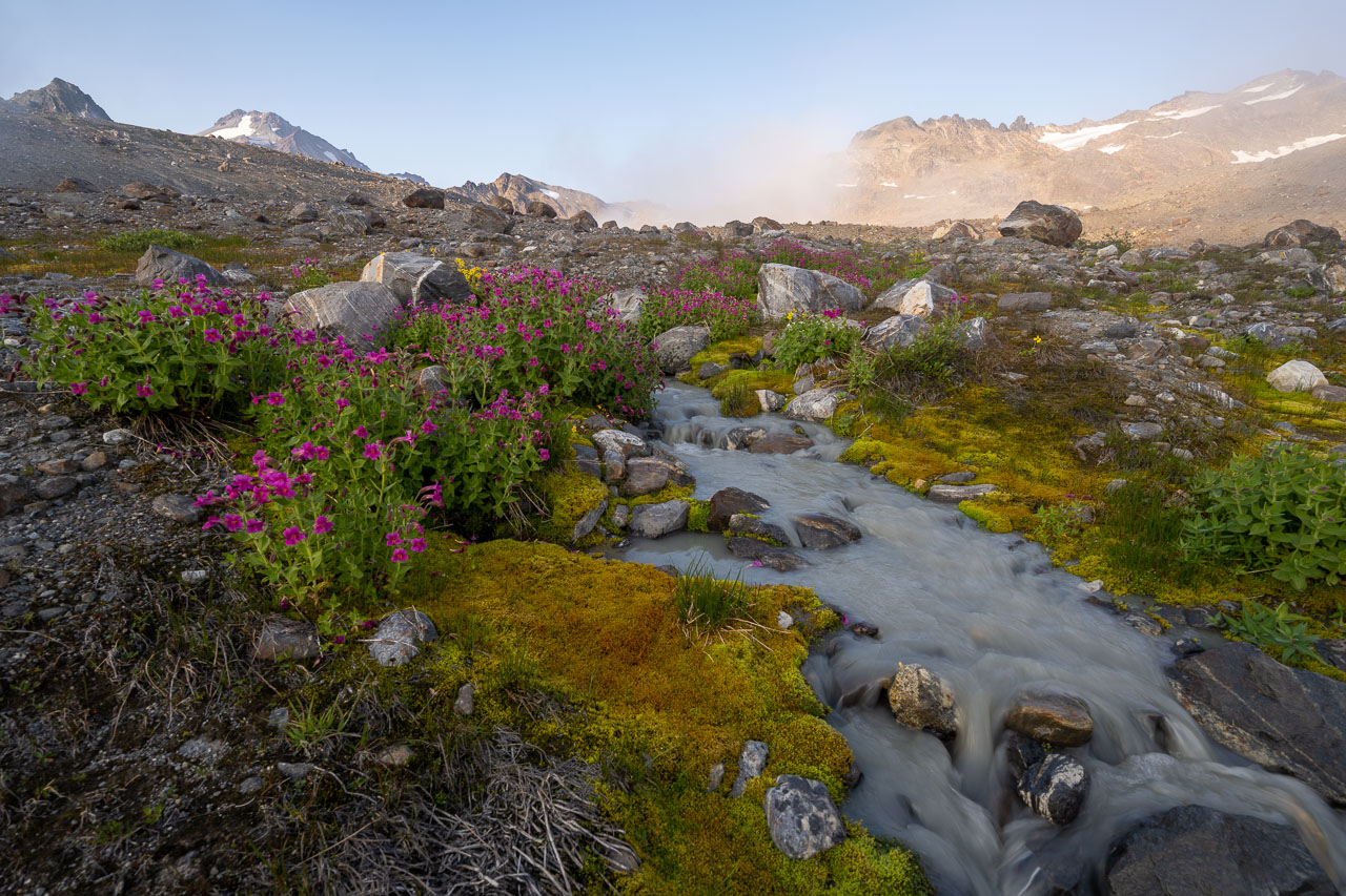
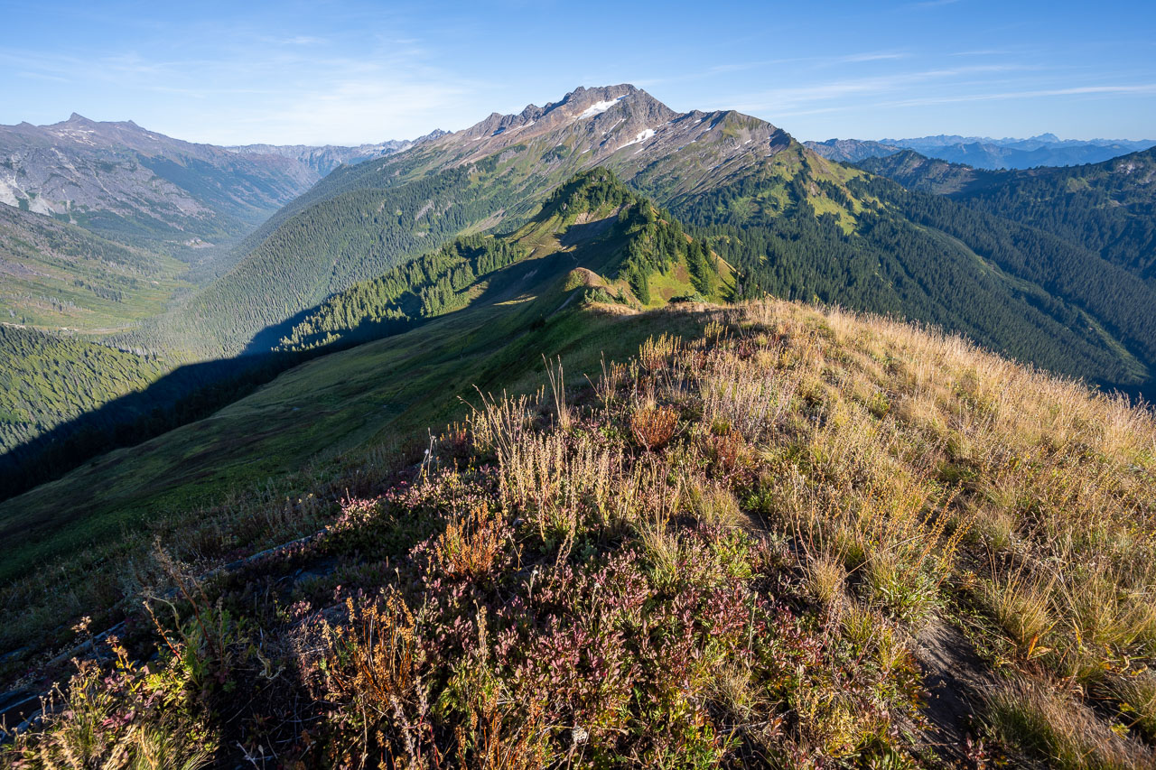
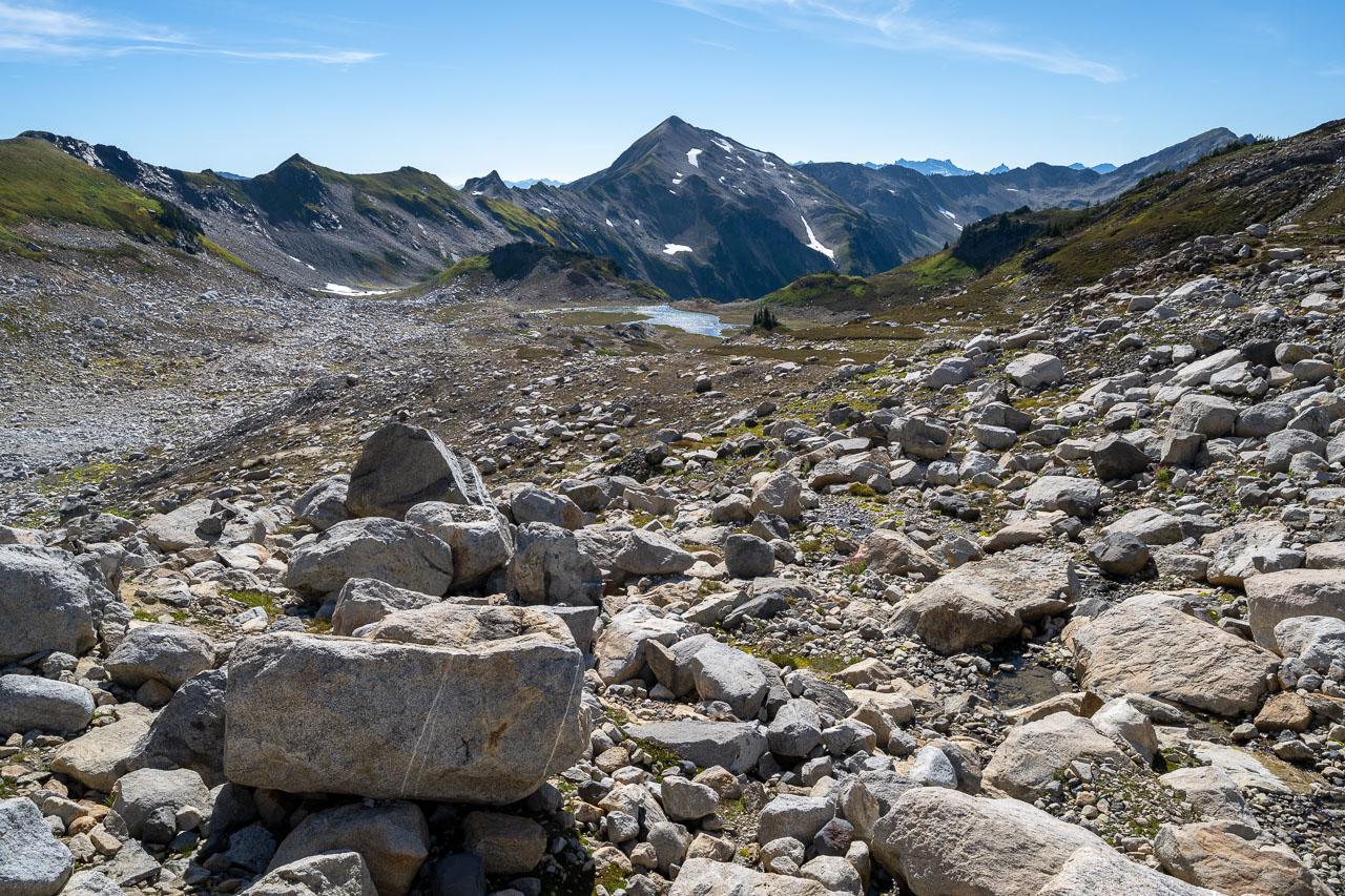
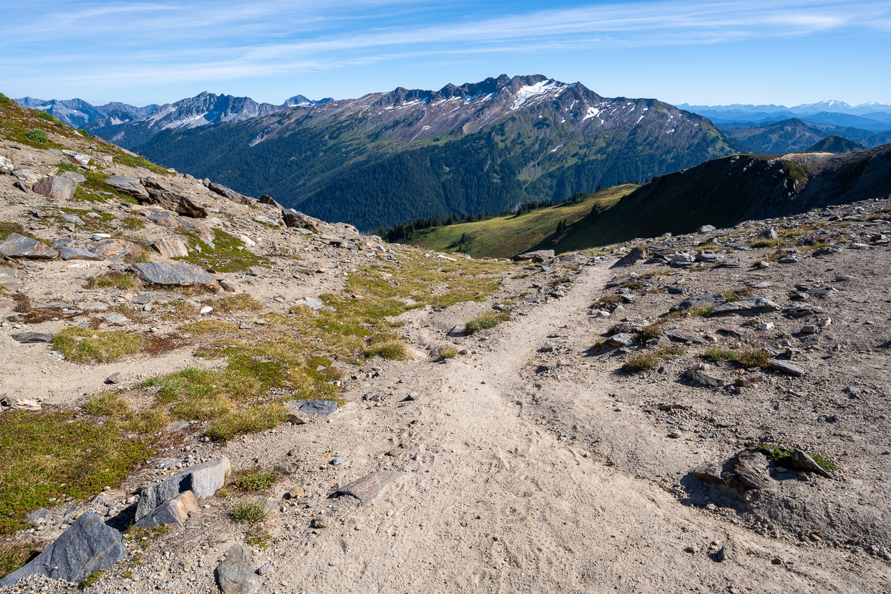
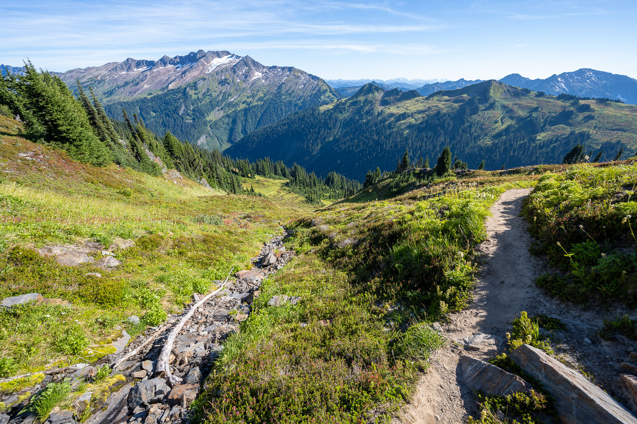
By mid-afternoon we made it back to our tents and began packing up. Our plan for the afternoon was to move camp to Indian Pass so that we could do a few other peaks the following day. We made our way back to White Pass, then took the PCT south for a few miles. Along the way I did a short hike up to Peak 6203, which provided a good vantage point for Indian Head Peak that I was planning to do the following morning. Afterwards we continued to Indian Pass. There are some nice tent sites at the pass, but unfortunately no water. The closest water going southbound is a meltwater pond about a mile before reaching the pass. We had come prepared, though, and had filled up from a small stream near White Pass. We found a short side trail near the pass led to several tent sites.
21.7 Miles, 5900 Gain
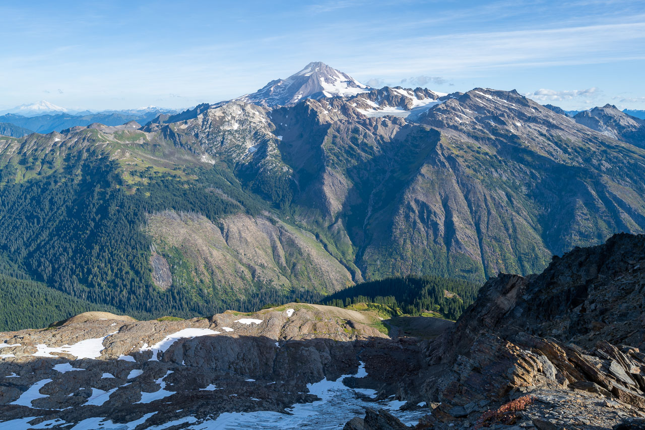
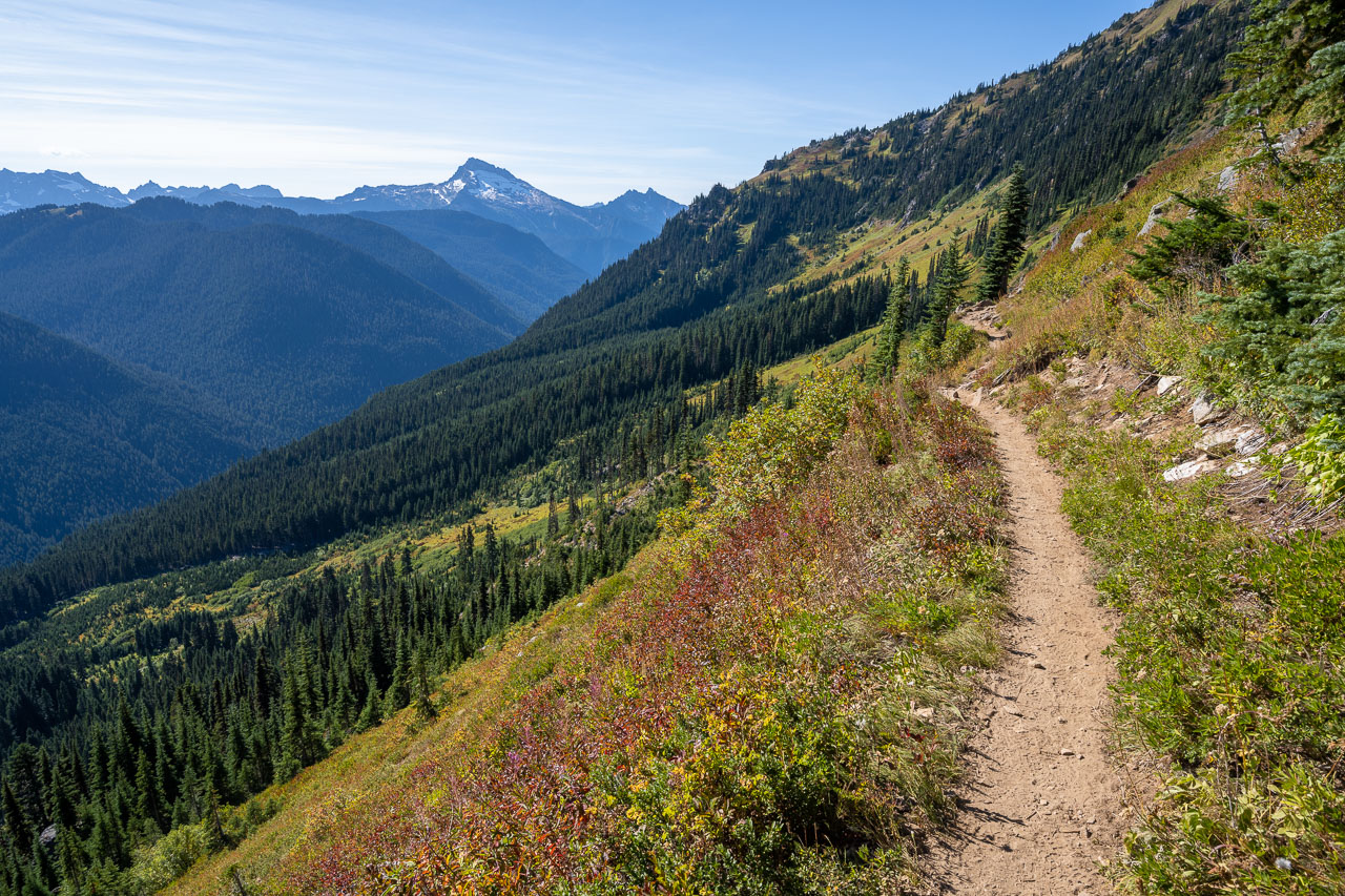
In the morning I got an early start for Indian Head Peak. I started up the south slope of the peak just as it was starting to get light. After a few hundred feet of bushy hillside, the slope opened up nicely. The sun started to brighten up the surrounding peaks just as I reached the west ridge. I was treated to an impressive view to the north of Glacier Peak and the White River valley just as the sun was starting to rise over the ridge. Most of the remaining distance up to peak was Class 2, with a few short sections of Class 3. I checked the summit register and noted there seemed to be some controversy over which of the twin summits was the tallest. I decided to visit both just to be safe. The east summit has some better Class 3 scrambling, but they are both very close in height.
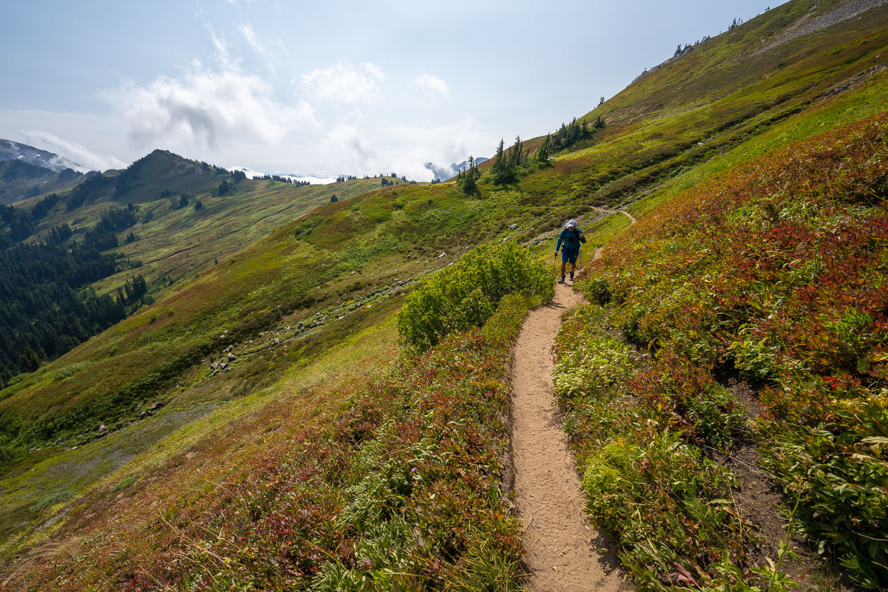
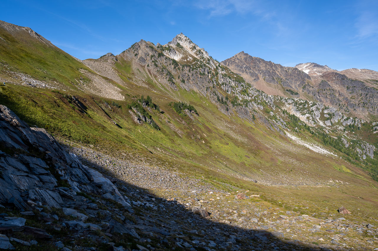
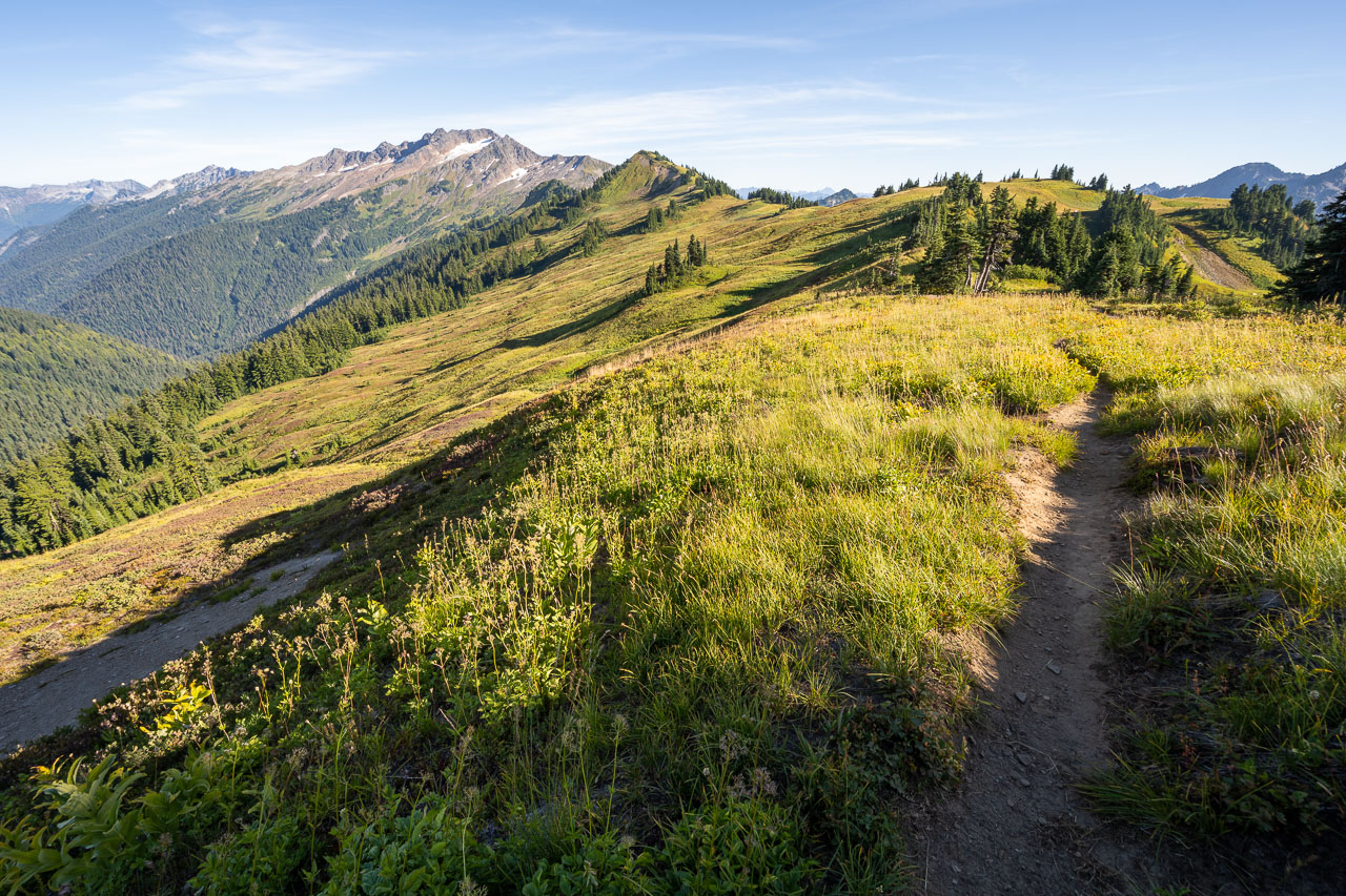
It was still relatively early when I got back to camp, so I wanted to try and include two more peaks to the south before hiking back out to the trailhead. After some discussion, Bill decided to skip those also. He had mainly been interested in doing Glacier Peak and was looking forward to taking a relaxed pace back to the car. He started to break camp as I headed south on the PCT. The trail led gradually up to a shallow saddle between the two peaks. First, I did an out-and-back to Peak 6052 (Emerson Peak). The map shows an old trail leading up to the peak, but it seems to have disappeared in places. I did some bushwhacking on the way up and did a slightly better job of following the old trail on the way down.
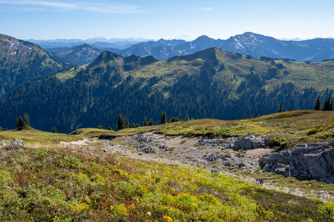
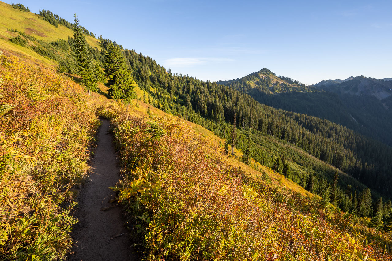
There was a better trail leading up to Kodak Peak. As the name would suggest, it had a great view of many of the surrounding peaks. On the way back I took a more direct route down some steep slopes to the north and met up with the PCT. After breaking camp, I hiked back to the car over White Pass. On my way back, I began to notice some more smoke in the air. Unfortunately, this would turn out to be the beginning of an extended period of poor air quality that would last for several weeks in Washington. After meeting back up at the car we drove a few hours north to North Cascades National Park for the next part of our trip.