After finishing our backpacking trip to Glacier Peak the previous day, we had driven to Newhalem Campground in North Cascades National Park. When we got up in the morning the smoke that we had noticed the previous evening had become much worse. There was cell service at the campground, so I checked InciWeb and discovered that a fire burning on the east side of the park had exploded in size overnight due to strong winds in the area. Conditions looked pretty miserable for hiking, but we decided to continue with our plans in the hopes that conditions would improve later in the day.
We first went over to the ranger station to get a wilderness permit for the following day. We got there about 45 minutes before they opened and were able to get a good ticket number. While we were waiting for them to open, we debated different plans for rearranging the trip to avoid the worst of the smoke. After checking wind and smoke forecasts, I concluded that conditions would likely improve over the next couple days, so we moved forward with our original plan to get a wilderness permit for Luna and Prophet.
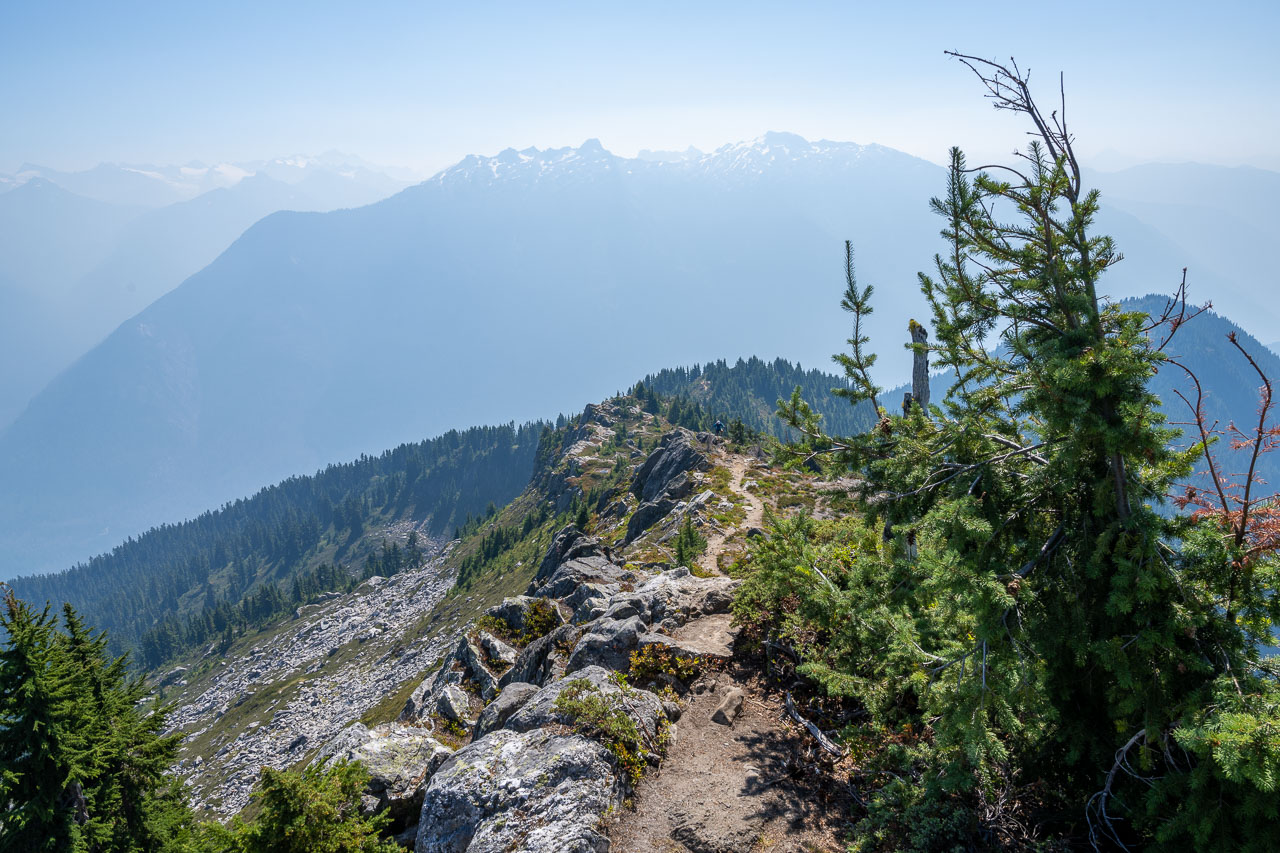
After getting the permit there was still plenty of time for a hike, but the conditions didn’t seem to be improving. If anything, they were getting worse. Hiking in thick smoke with limited views didn’t sound very appealing but sitting around the campground all day didn’t sound any better. The original plan was to do a hike to Trappers Peak, so we decided to drive up to the trailhead and see if it was a little less smoky up there. Fortunately, as we made the drive up to the Thornton Lakes Trailhead the conditions did get a little better. There was some wind higher up that seemed to be clearing out some of the smoke. Conditions wouldn’t be ideal, but still far better than what I had become accustomed to in California over the previous couple weeks.
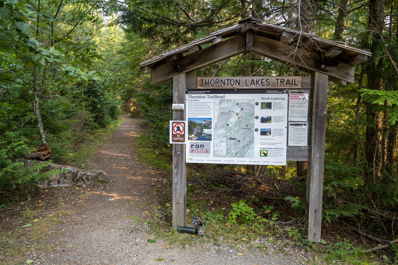
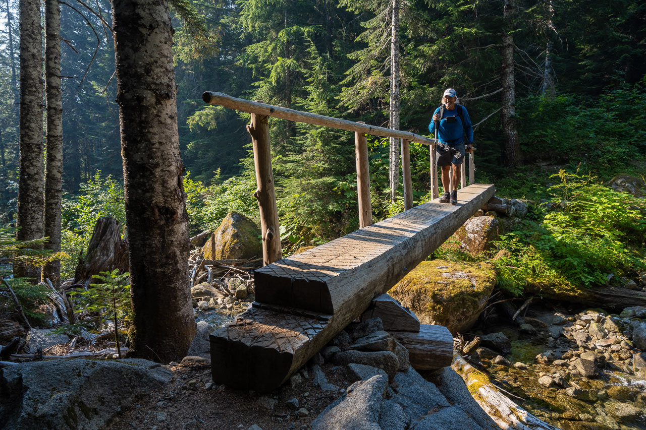
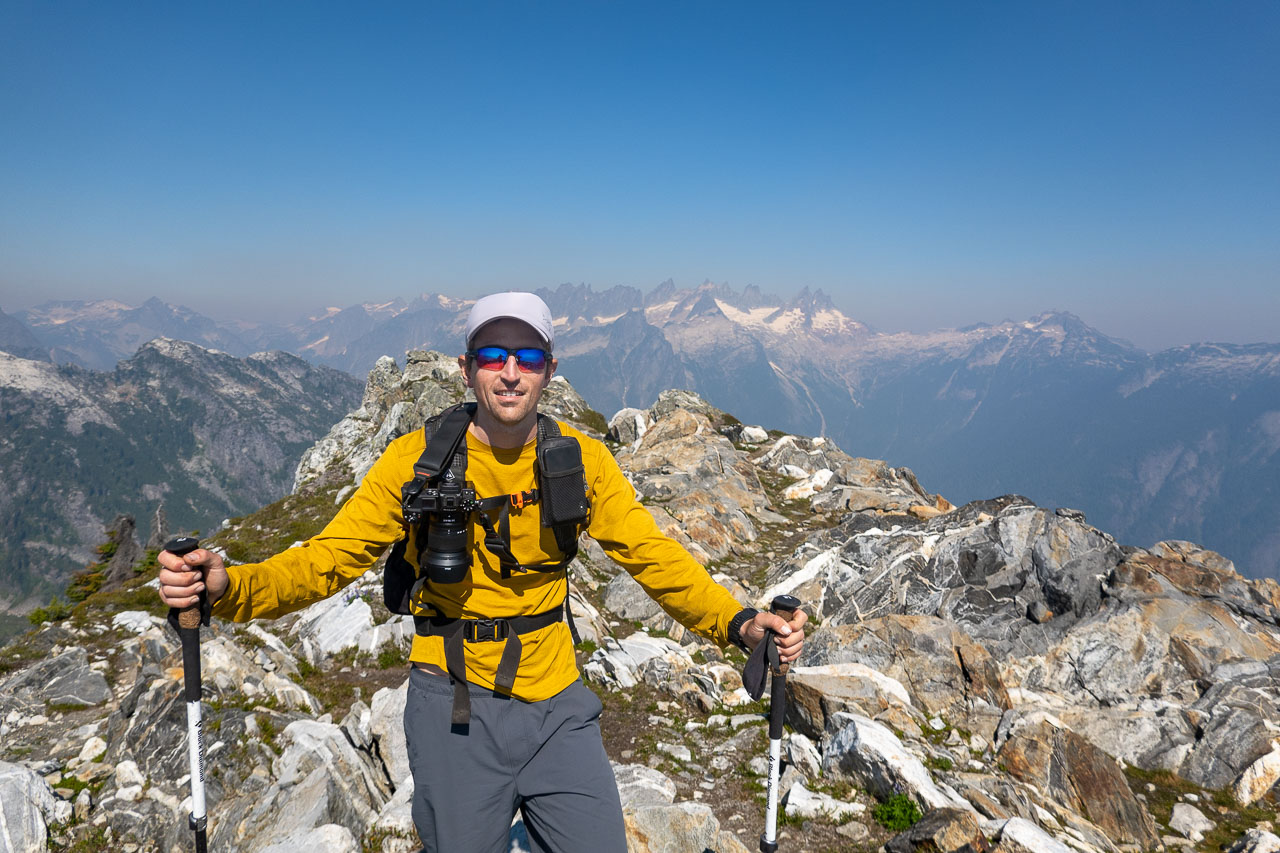
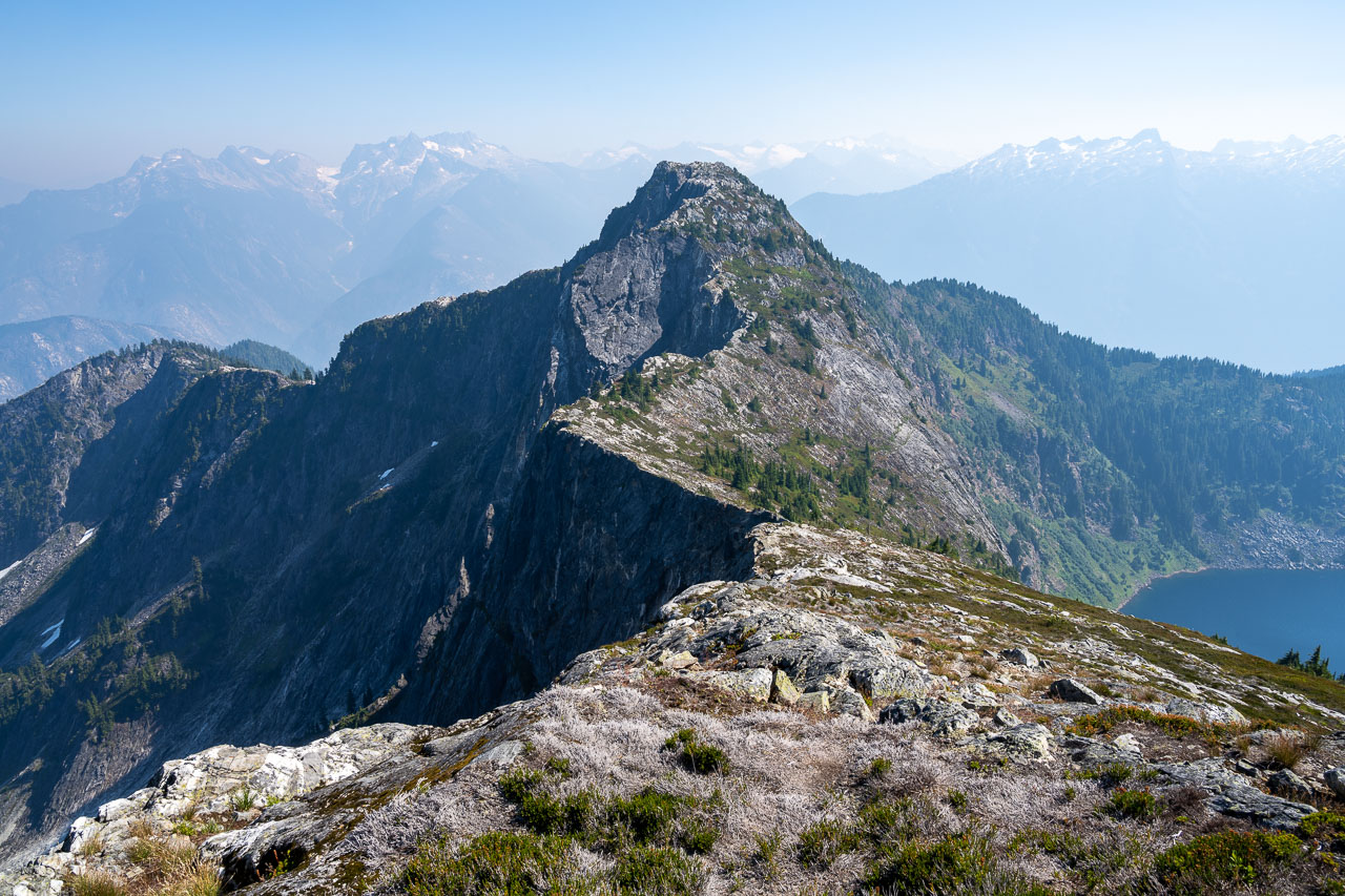
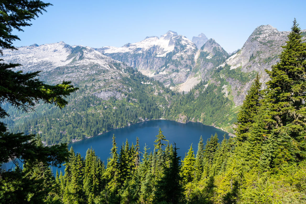
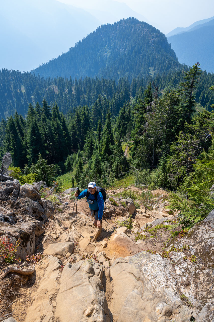
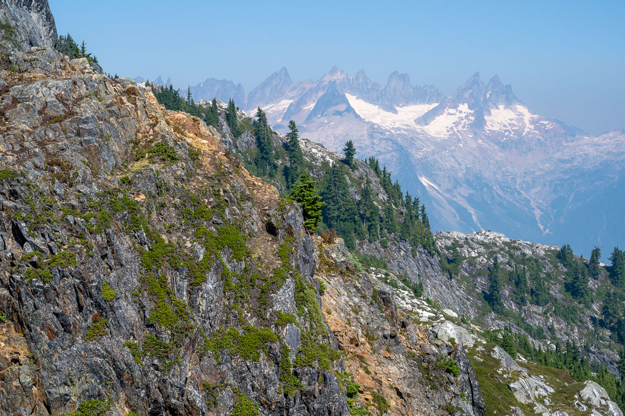
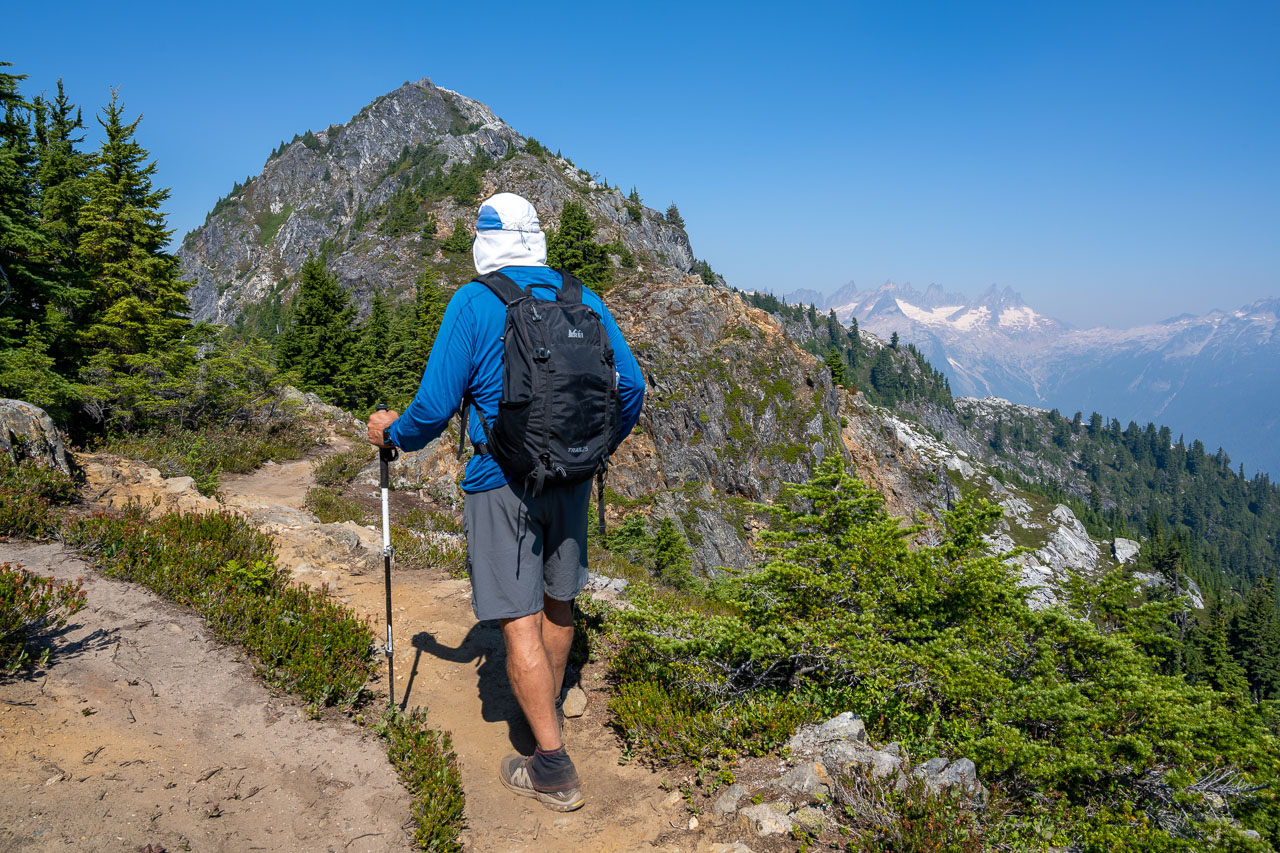
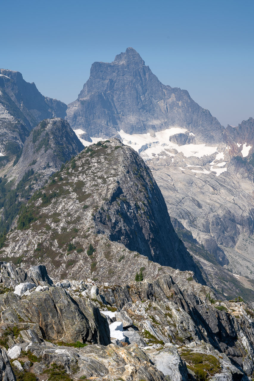
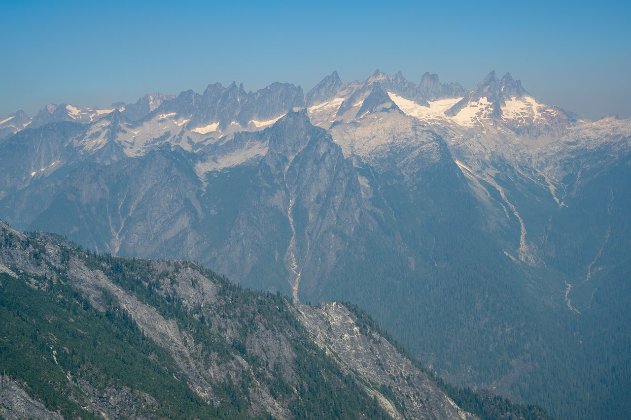
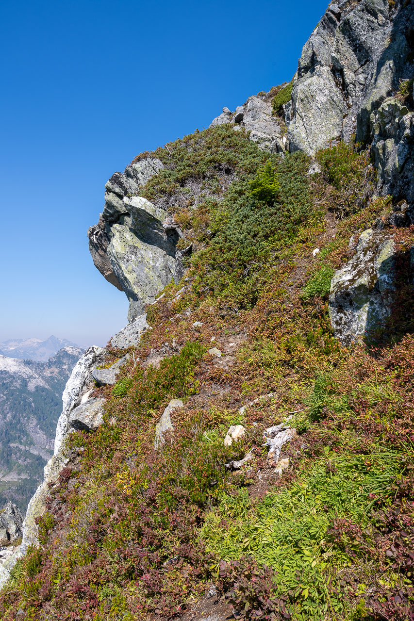
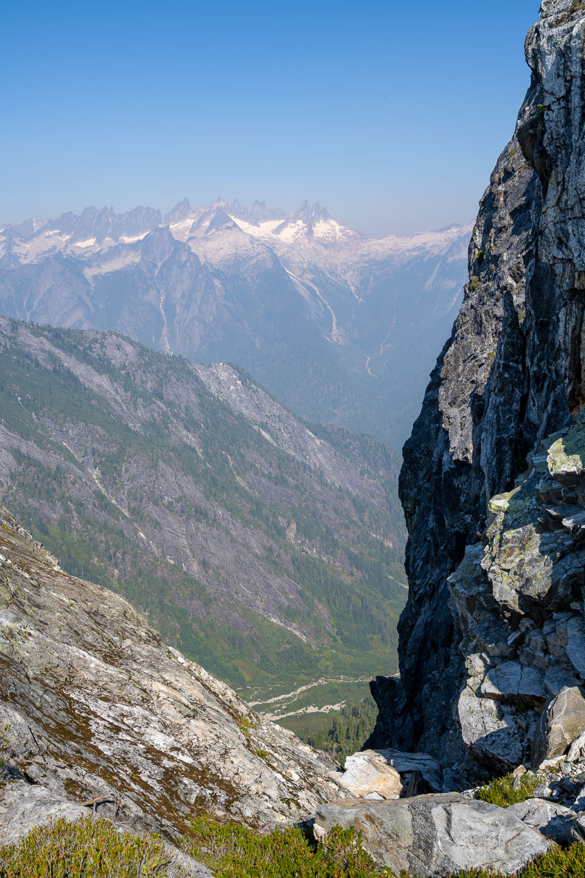
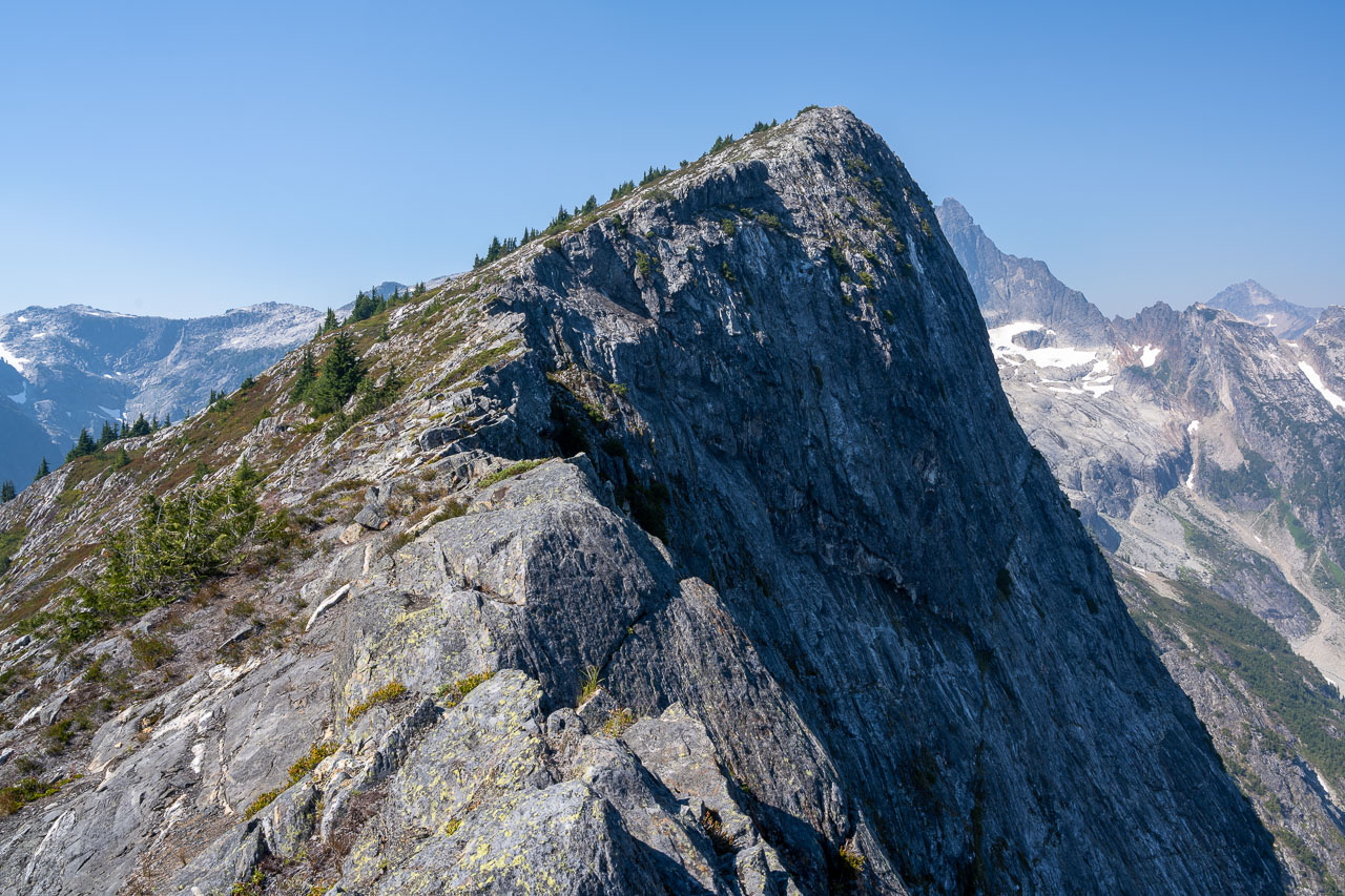
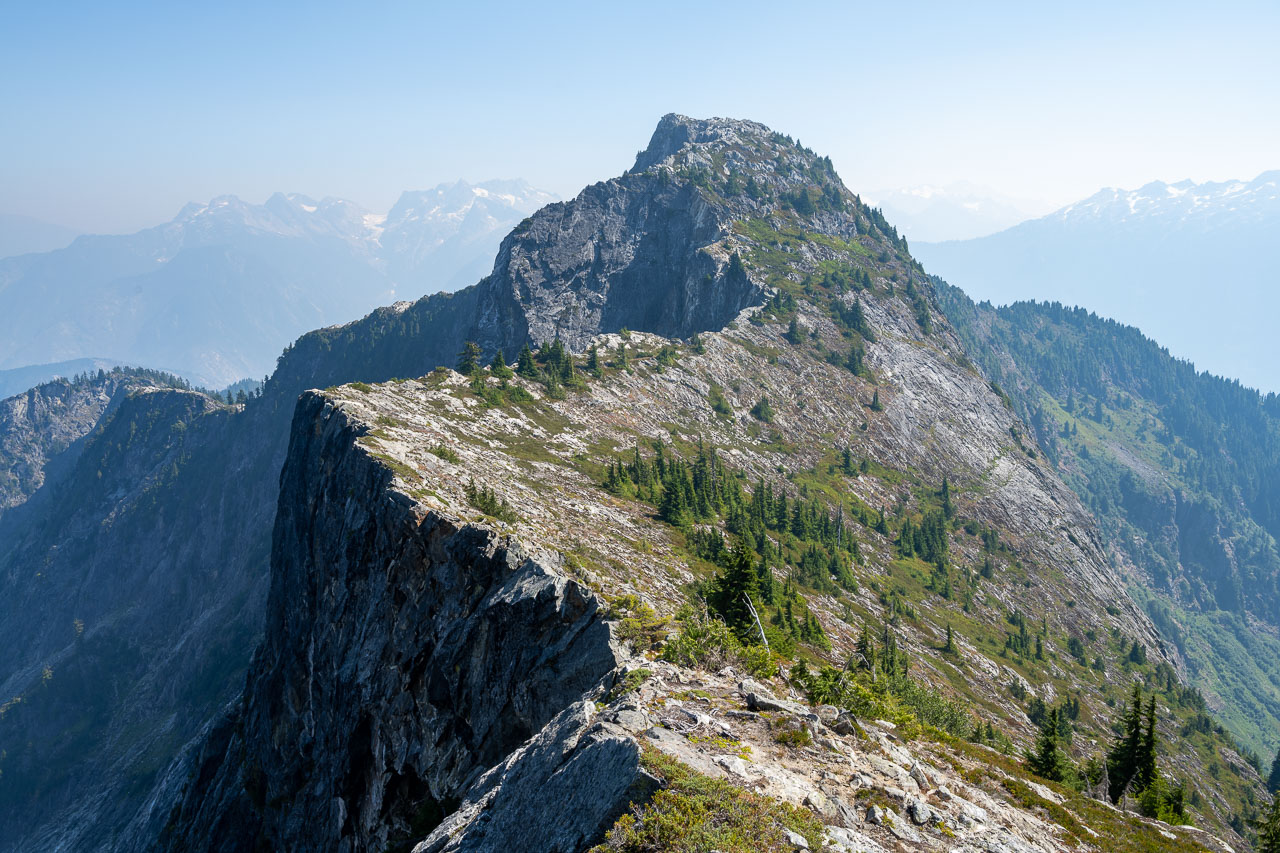
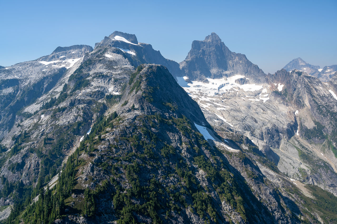
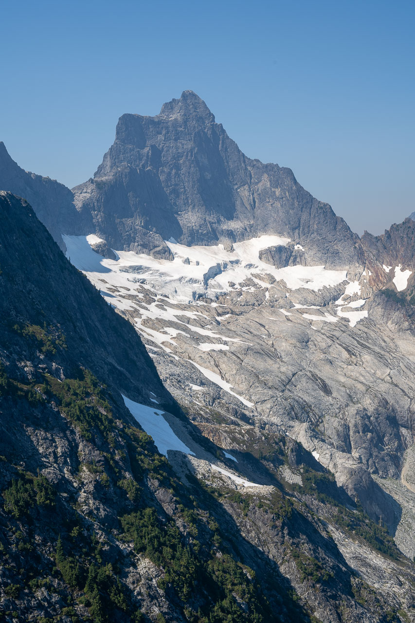
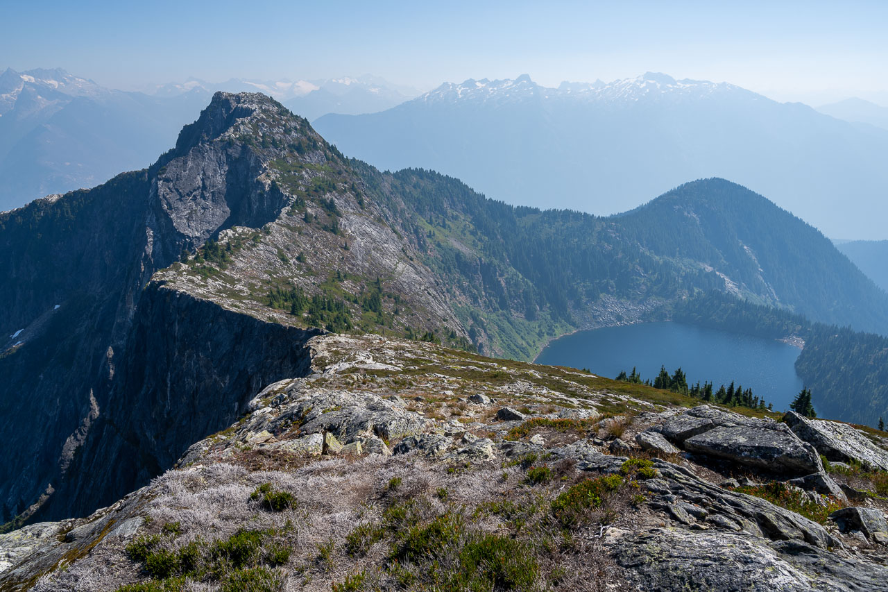
The first couple miles of the trail were along an old logging road with little elevation gain. After crossing a bridge over Thornton Creek, the trail gradually switchbacked up to the junction with Thornton Lakes. The official trail heads down to the lake, but there is a pretty popular use trail branching off toward Trapper’s Peak. We followed the use trail up a few scramble sections to the summit, which had great views of the southern Pickets and nearby Mount Triumph. This was my first time seeing the Pickets and they were certainly impressive. I was interested in continuing on to X Mountain, so after taking a break at the summit I parted ways with my dad who was planning to relax at the summit for a while longer then head back to the car.
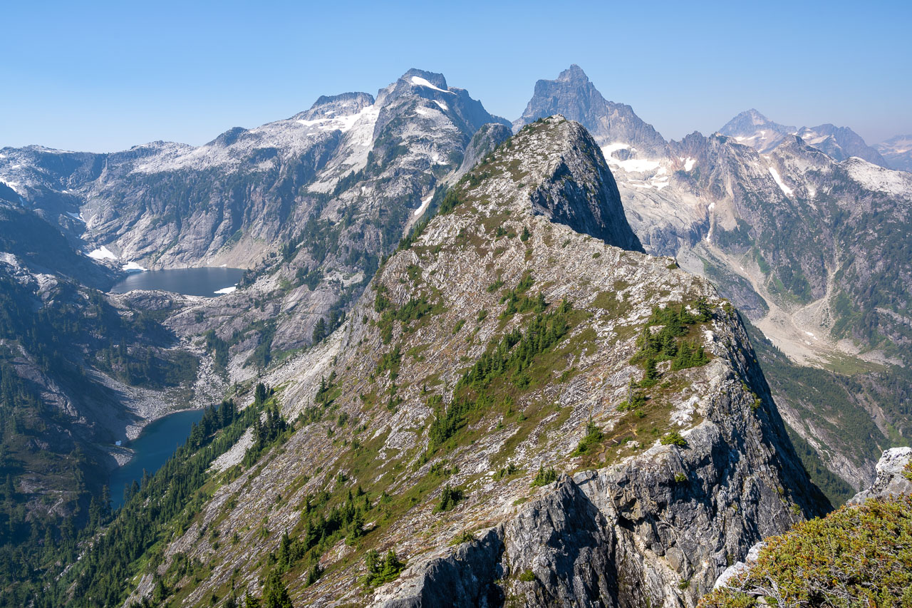
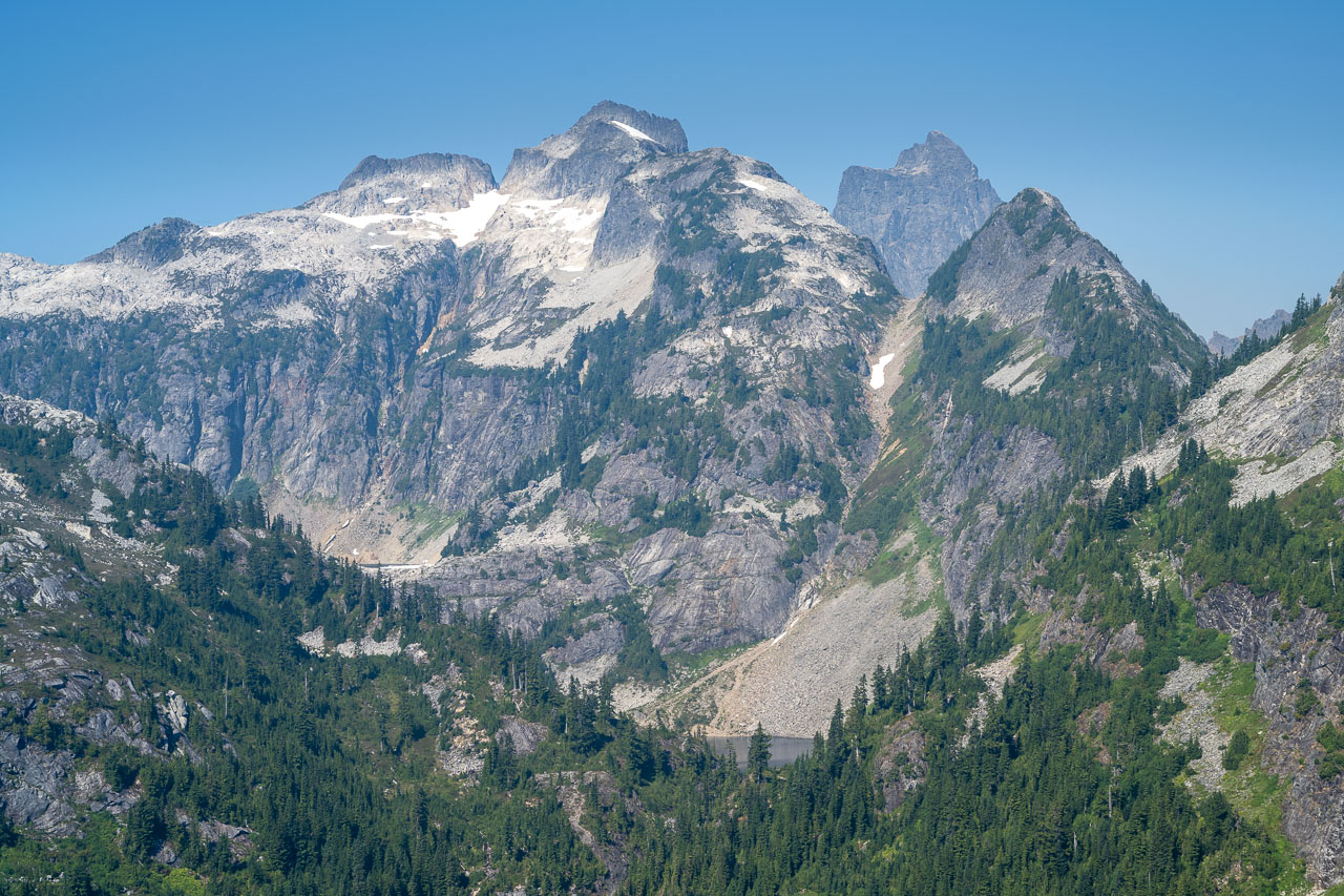
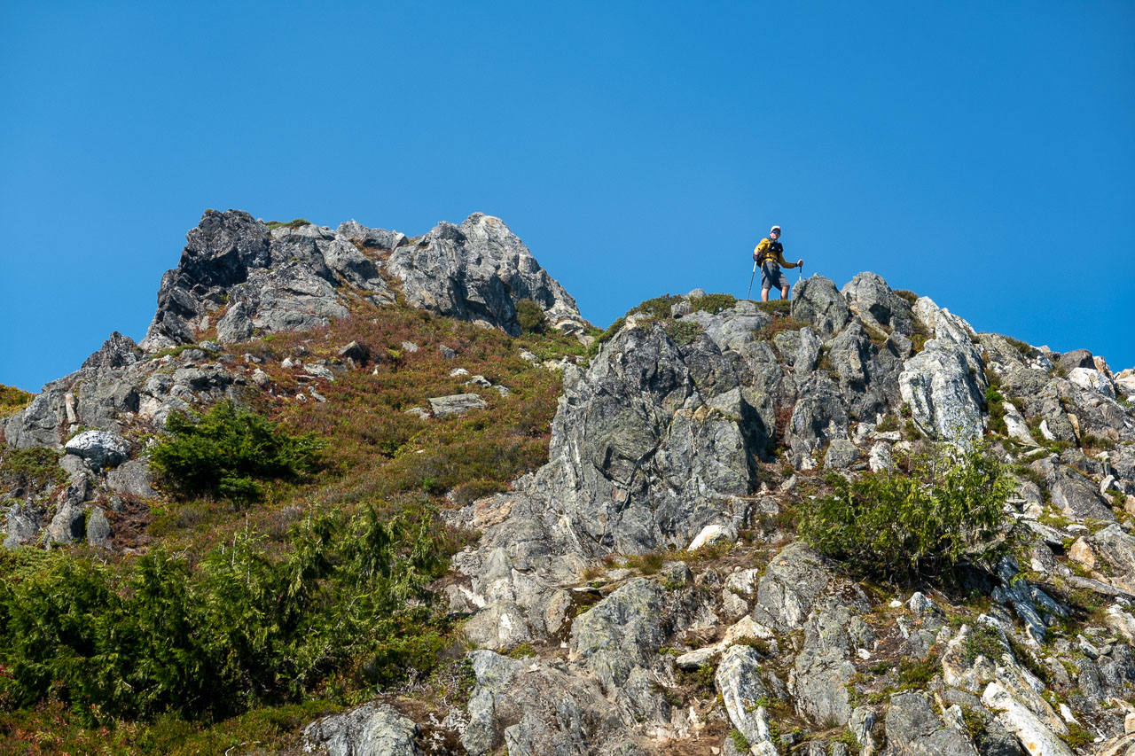
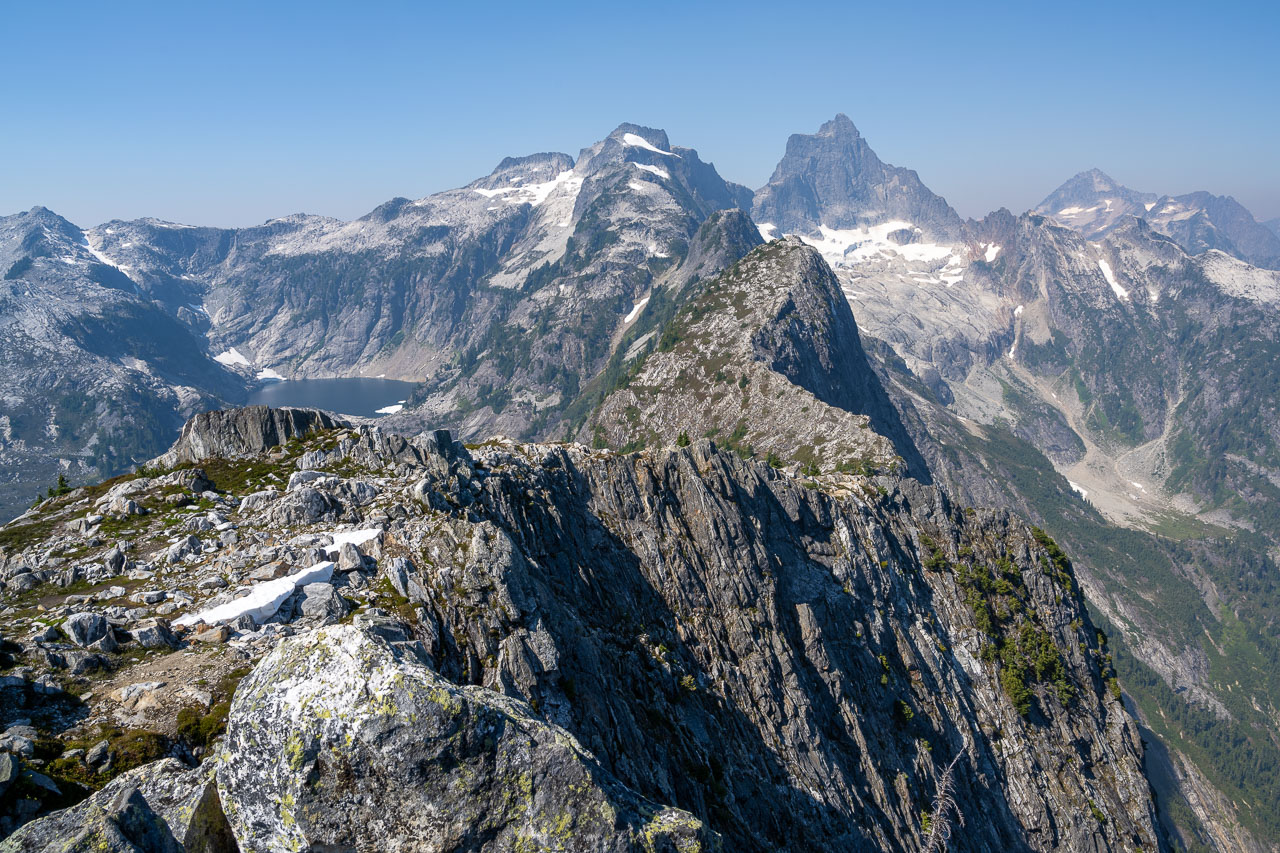
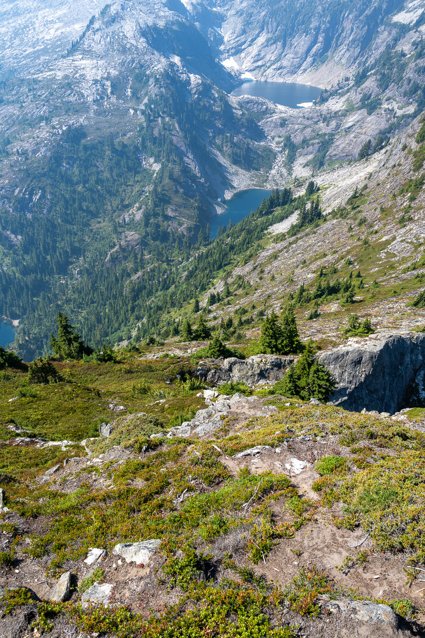
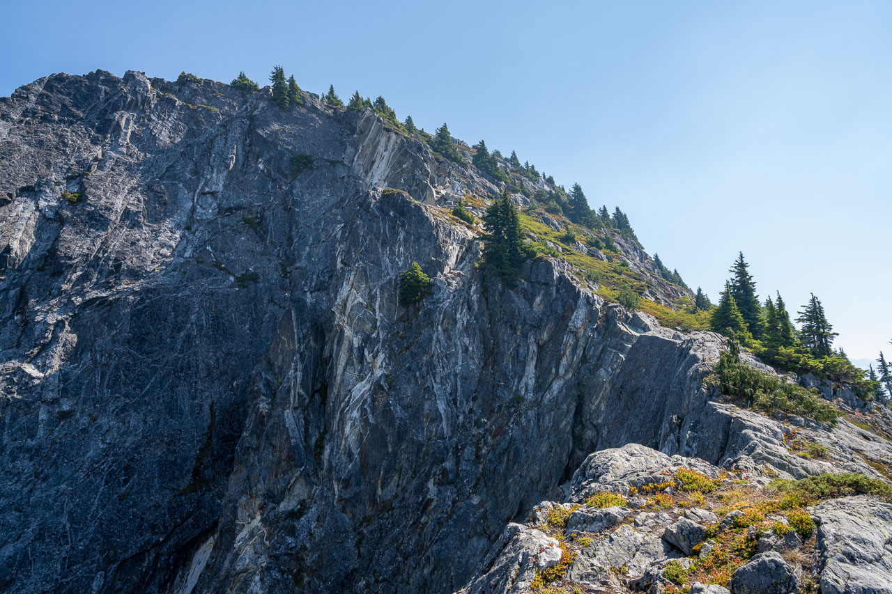
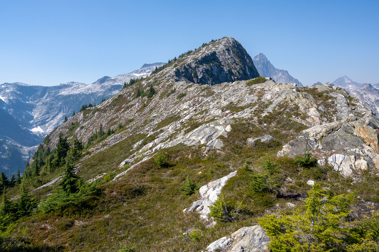
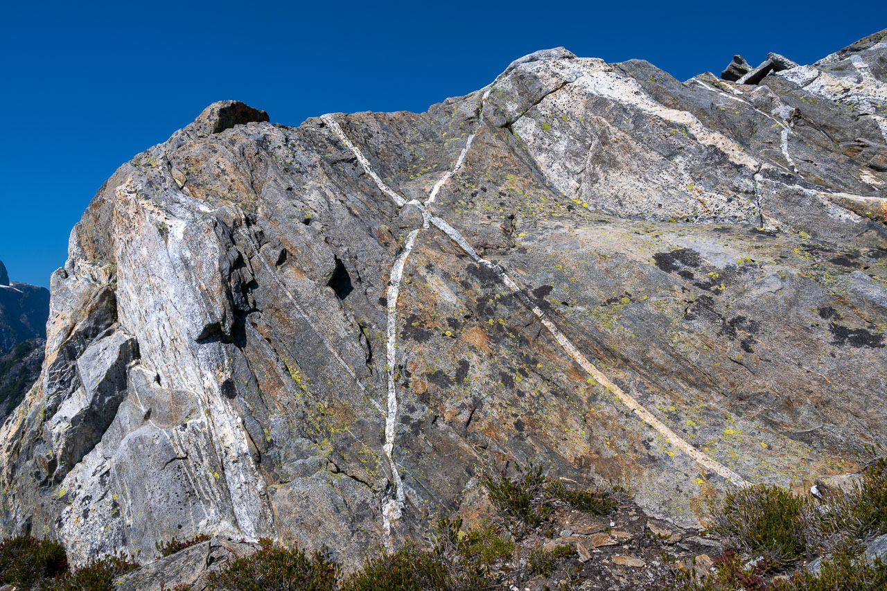
To get to X Mountain requires dropping steeply down to a small saddle between the peaks. I took a brushy slope skirting the edge of a large dropoff on the north side of Trapper’s Peak. Once at the saddle it was an easy hike along the ridge over to the summit of X Mountain. The mountain gets its name from intersecting quartz veins that form a large X just below the summit. There were some nice views back to Trappers Peak from the summit, and a mostly unobstructed view to the impressive east face of Mount Triumph. I made sure to get a picture of the X before retracing my route back to the car. We stayed in the same campground that night with plans to catch the water taxi across Ross Lake in the morning.