14.4 Miles, 3600 Gain
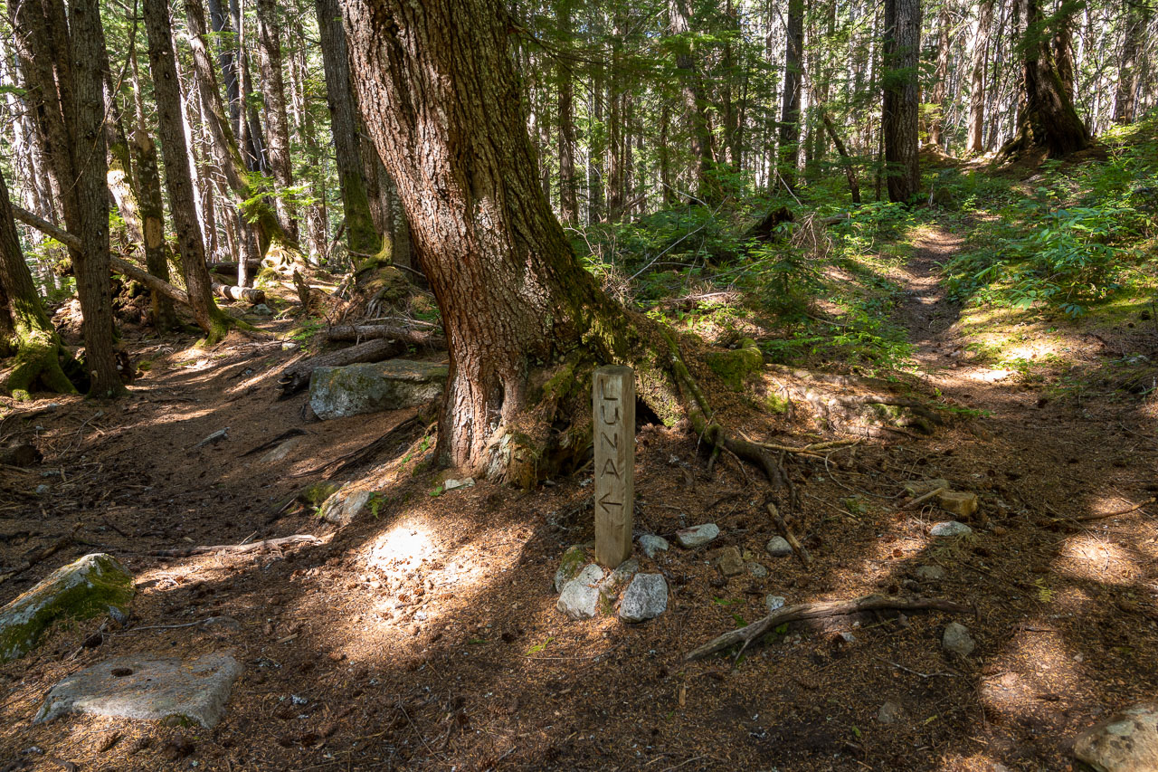
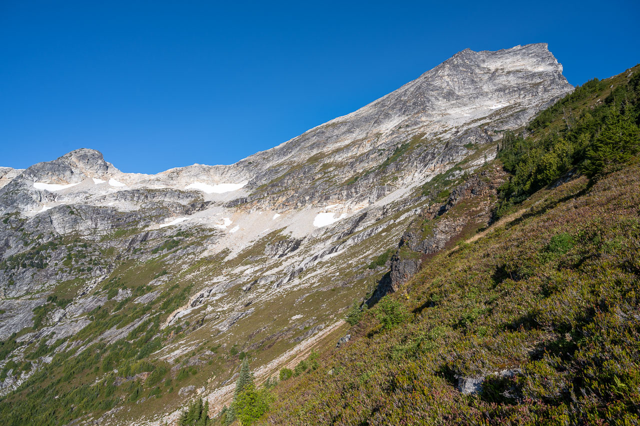
Luna Peak is the tallest peak in the remote and rugged Picket Range of the North Cascades. The peak has a reputation for having one of the best views in the state, so it was high on my list when I was planning the trip. The standard approach begins at Ross Lake and requires a long, mostly flat approach around the west side of the lake and then up Big Beaver Creek. After roughly 17 trail miles, there are a few additional miles of bushwhacking required to reach the base of the peak. Mount Prophet, a P4K, can be accessed along the same approach, so we were planning to include both peaks as part of a four day backpacking trip.
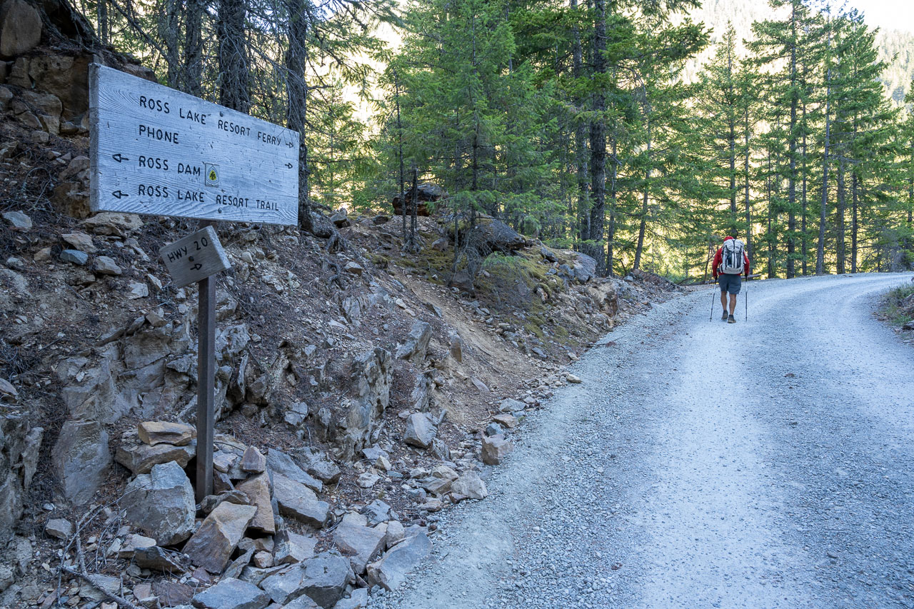
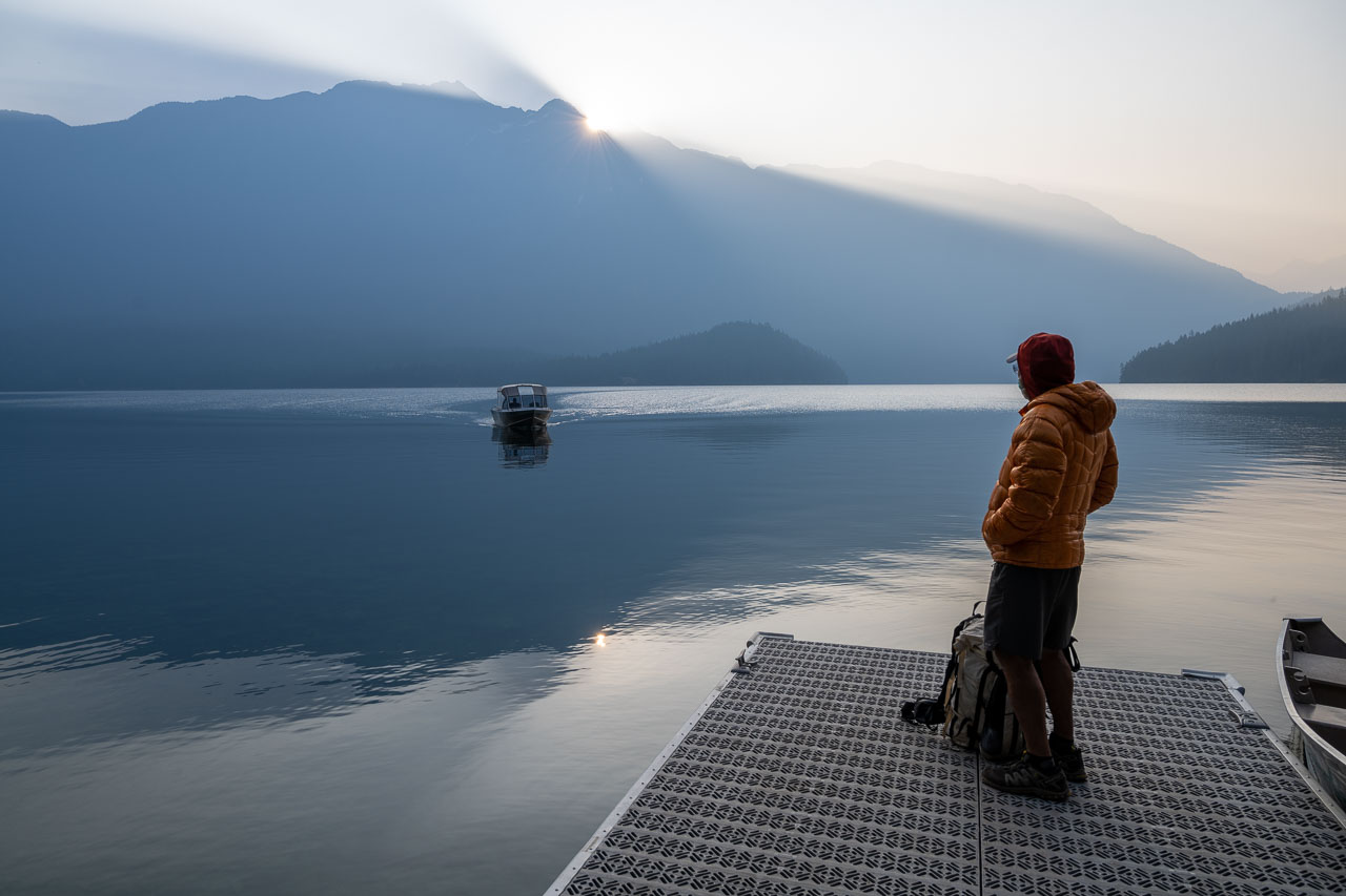
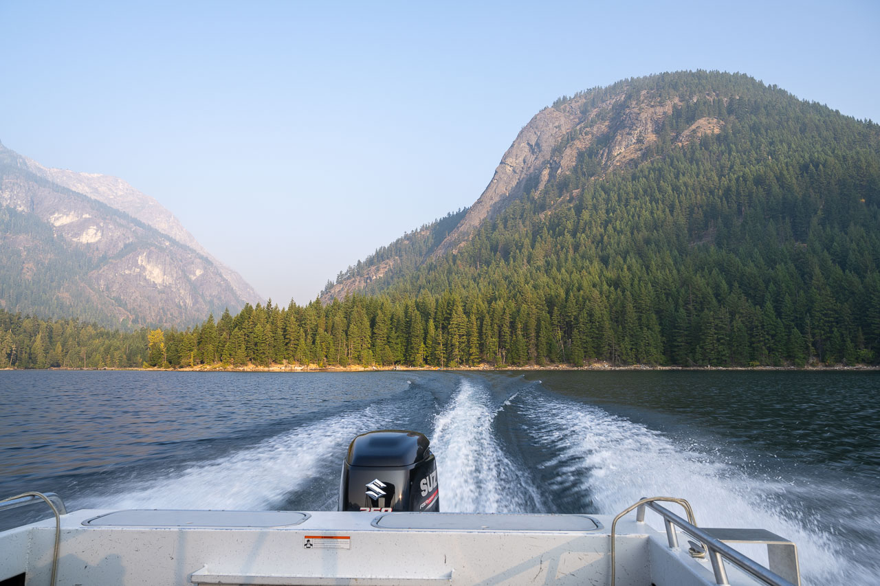
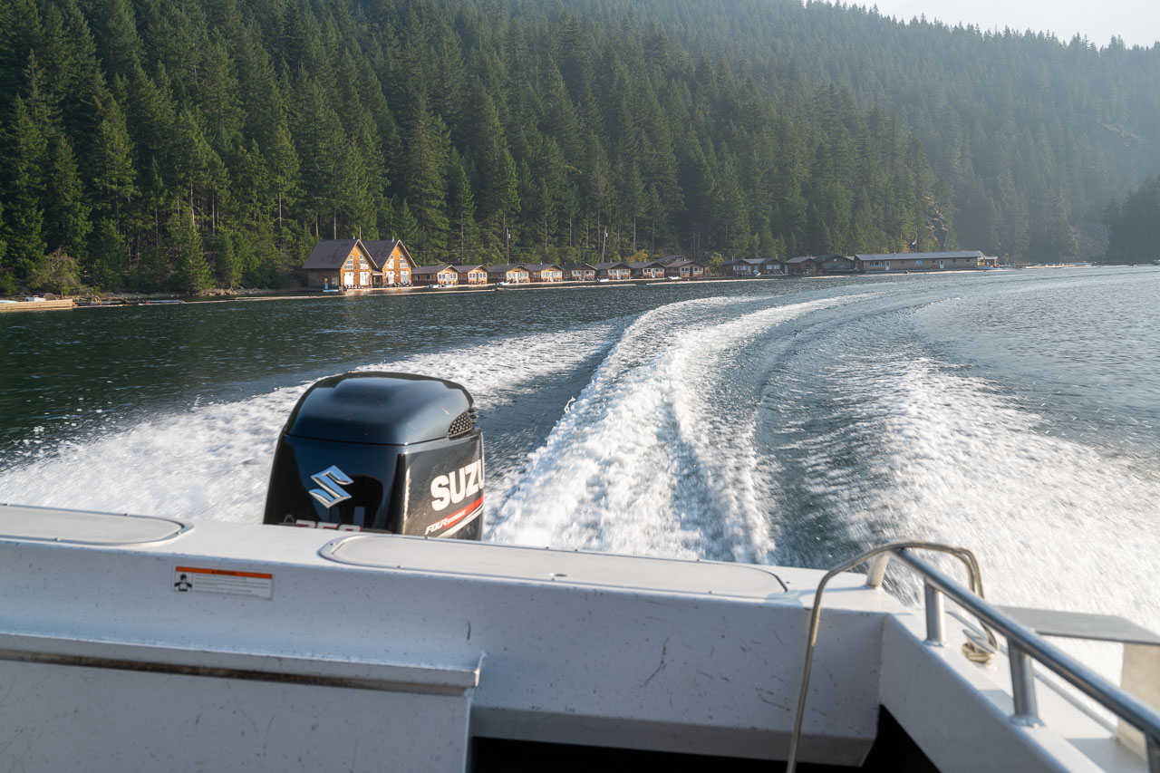
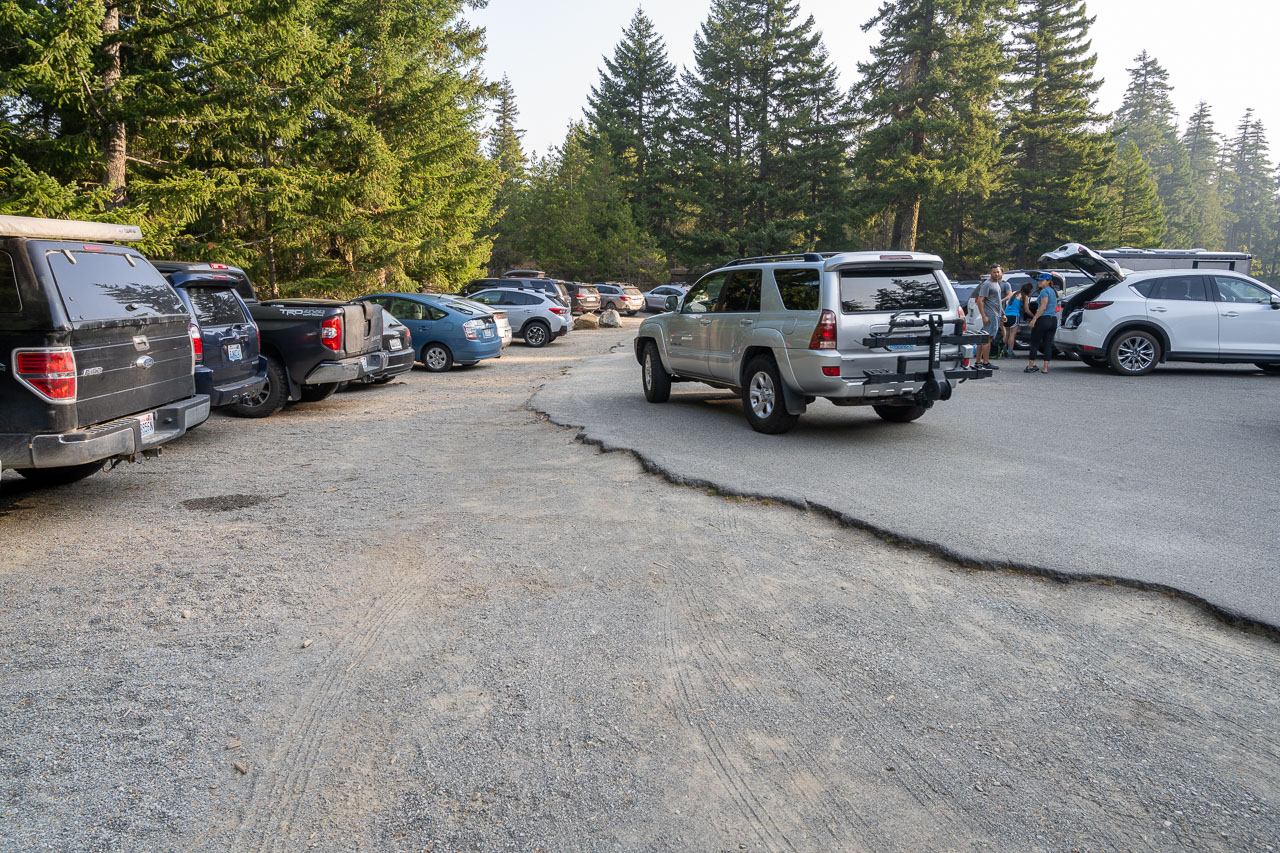
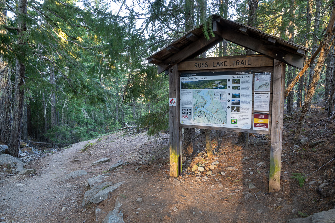
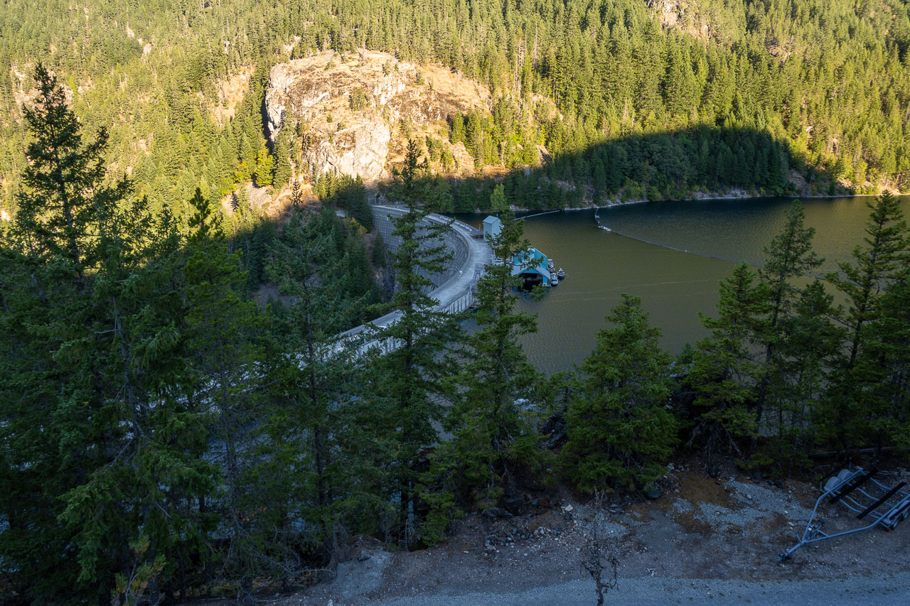
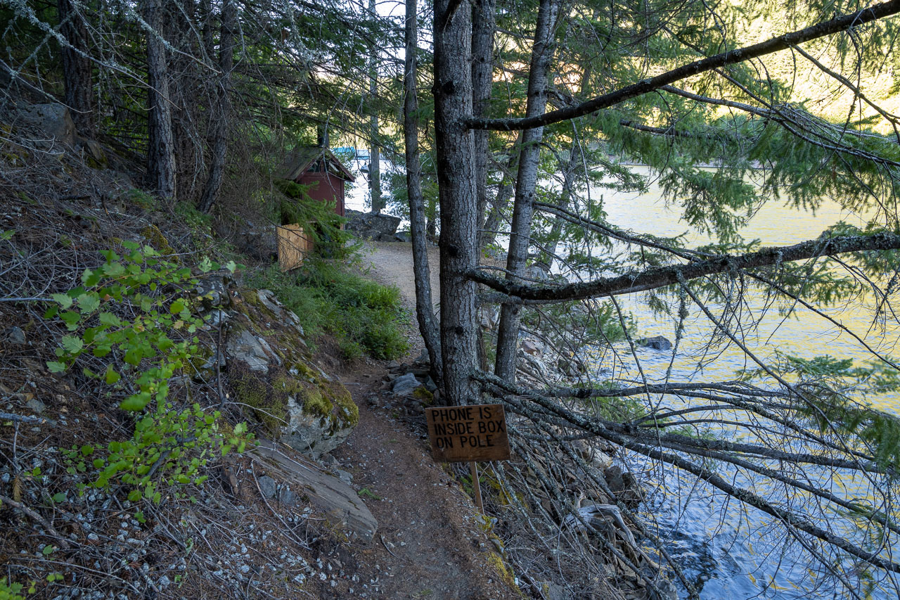
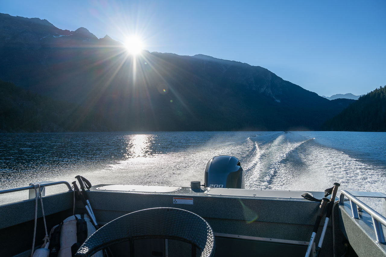
After our hike to Trapper’s Peak the previous day, we spent a second night at Newhalem Campground. In the morning we drove up the North Cascades Highway to the Ross Dam Trailhead. We were planning to take the water taxi across the lake, which saves seven trail miles around the west side of the lake. I had called the week before and reserved the earliest taxi across the lake at 8AM. After a short hike down to the lake, we used a phone near the dock to call the resort. Shortly afterwards we were boating up the lake.
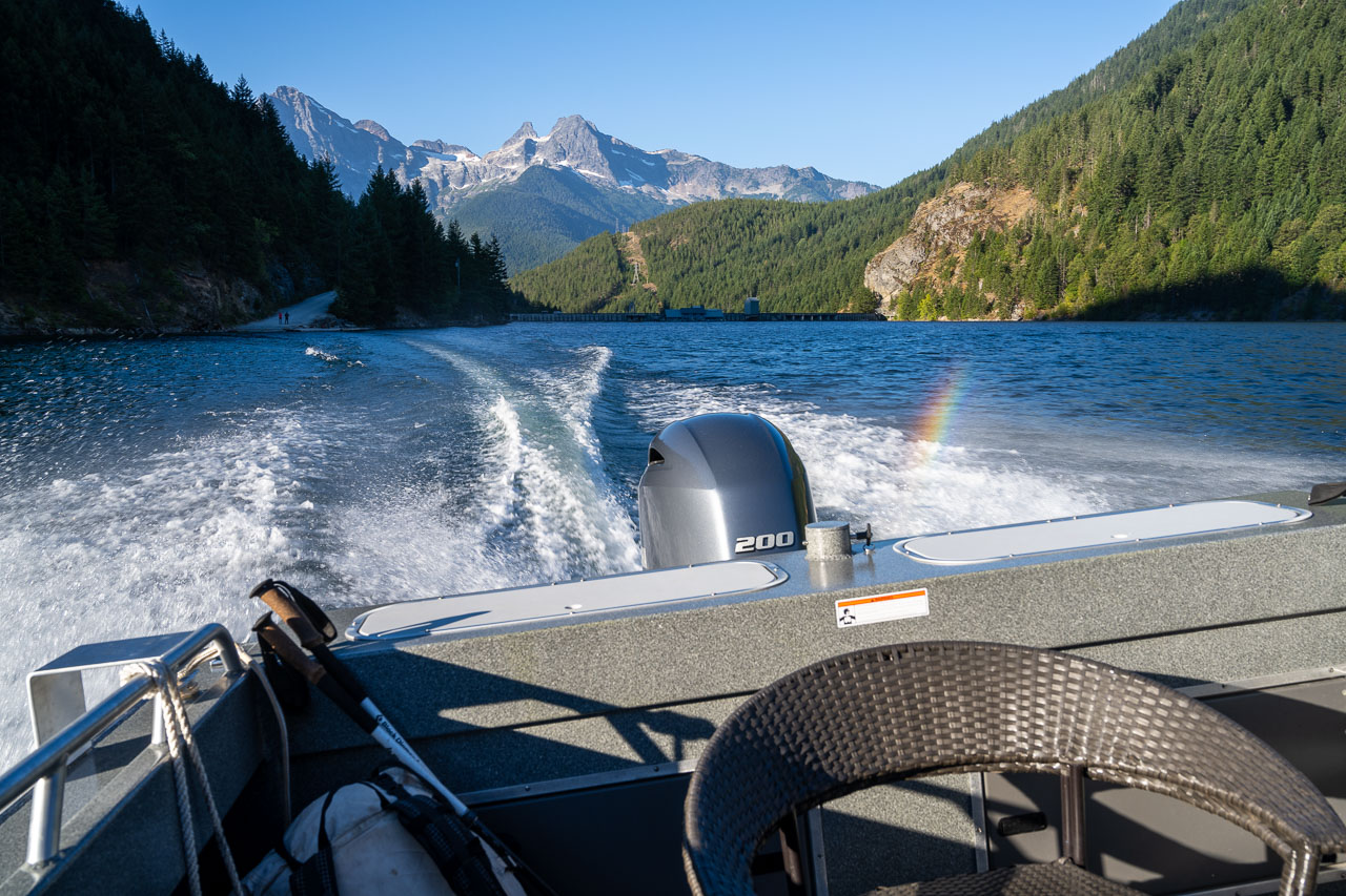
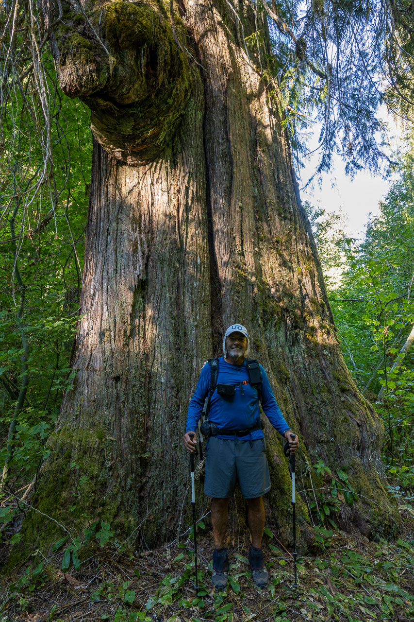
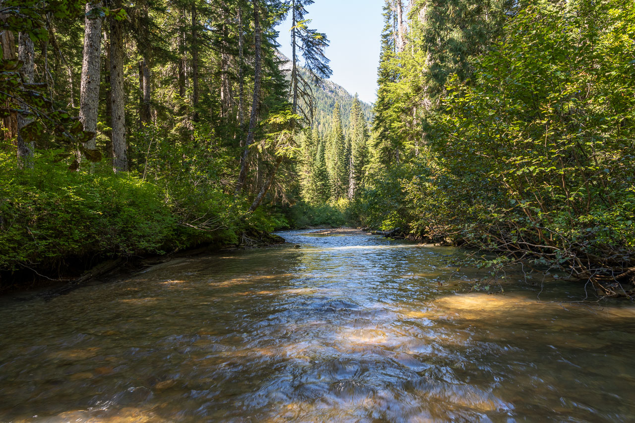
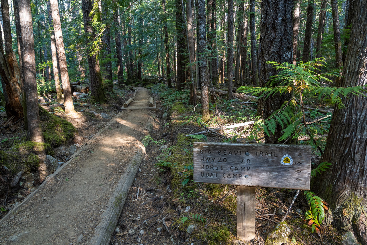
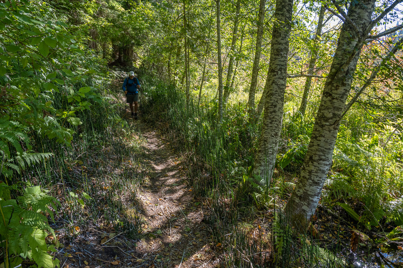
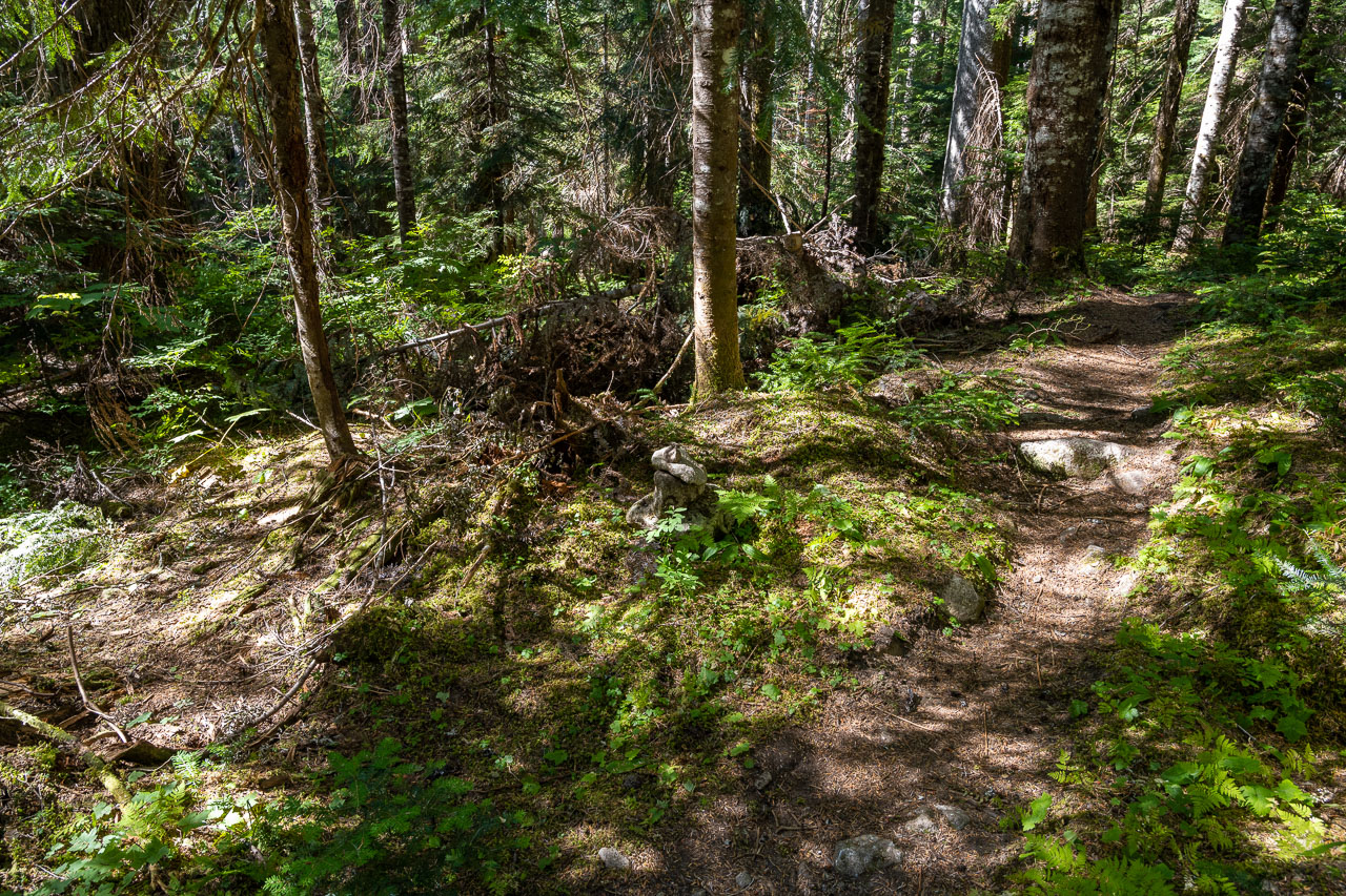
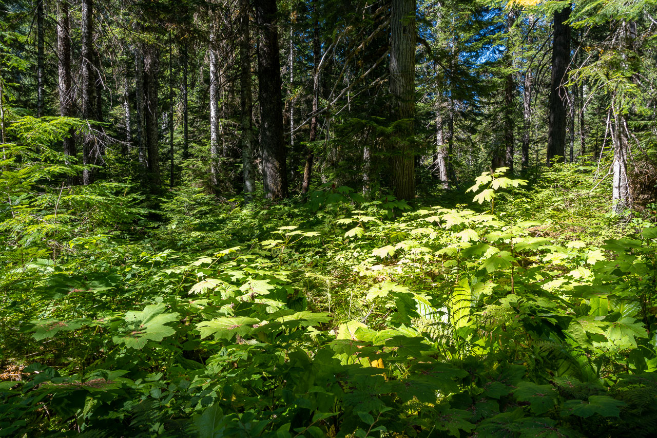
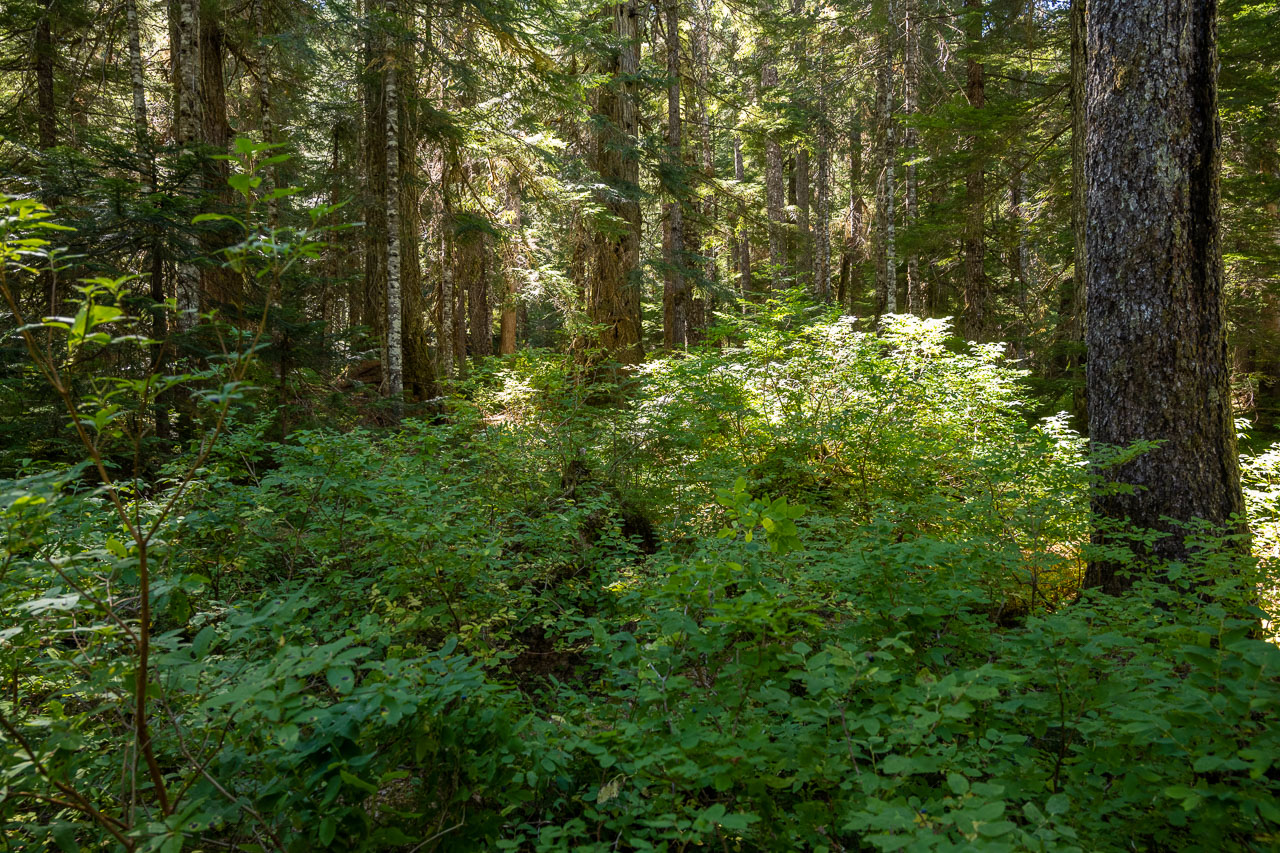
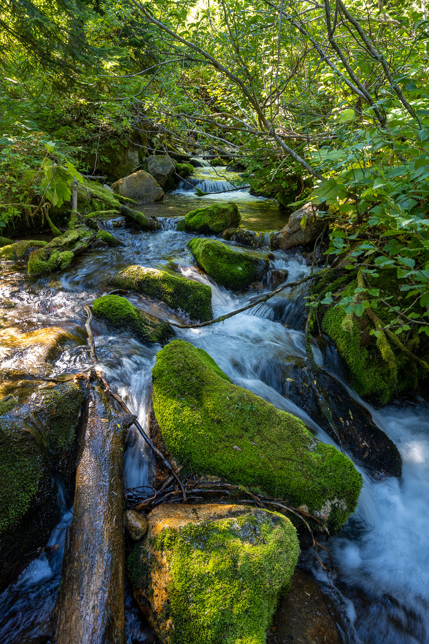
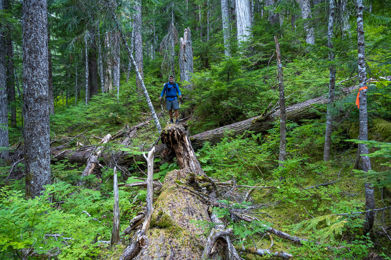
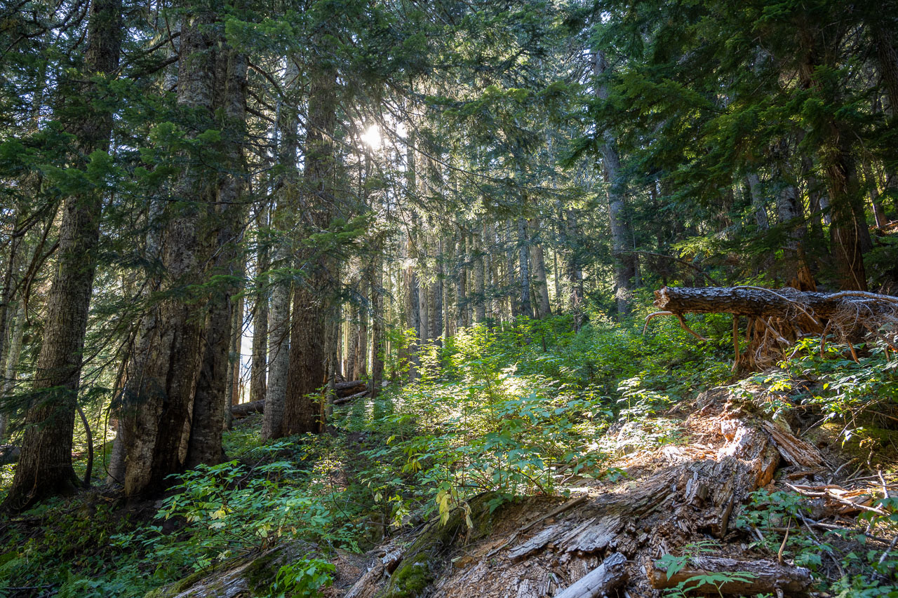
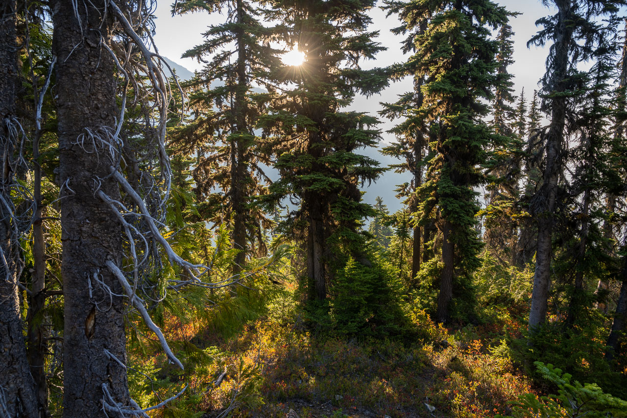
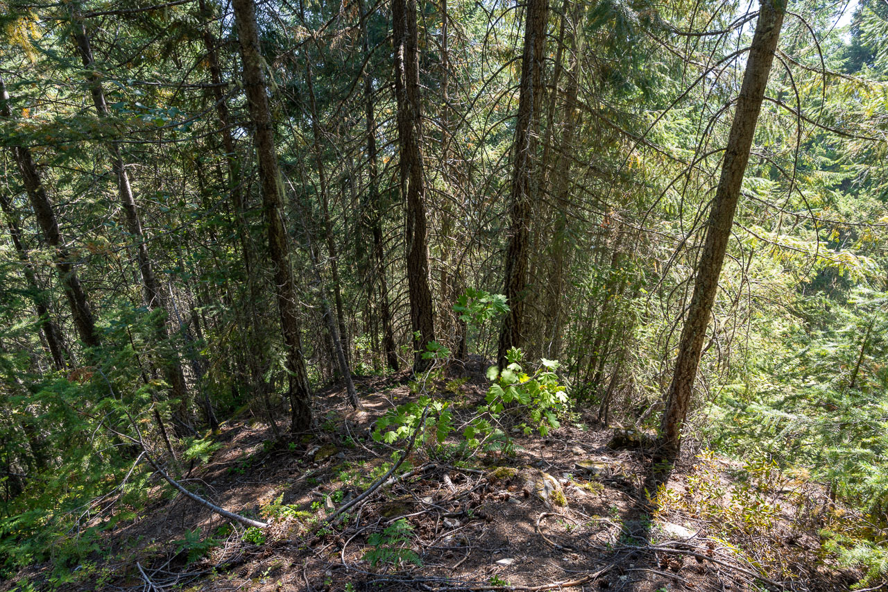
After a pleasant ride across the lake, we got off at the dock at Big Beaver Campground. I confirmed our pickup time with the driver, then we started up the trail. Our plan for the day was to camp at the head of the Access Creek basin. This would setup a short approach the following day to climb Luna Peak. The trail passed through some impressive old growth forest as we made our way up Big Beaver Creek.
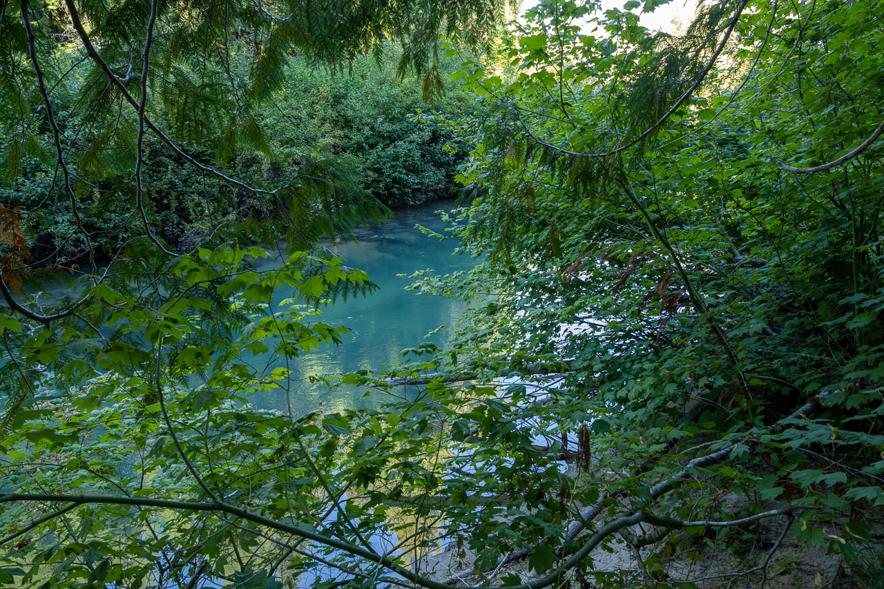
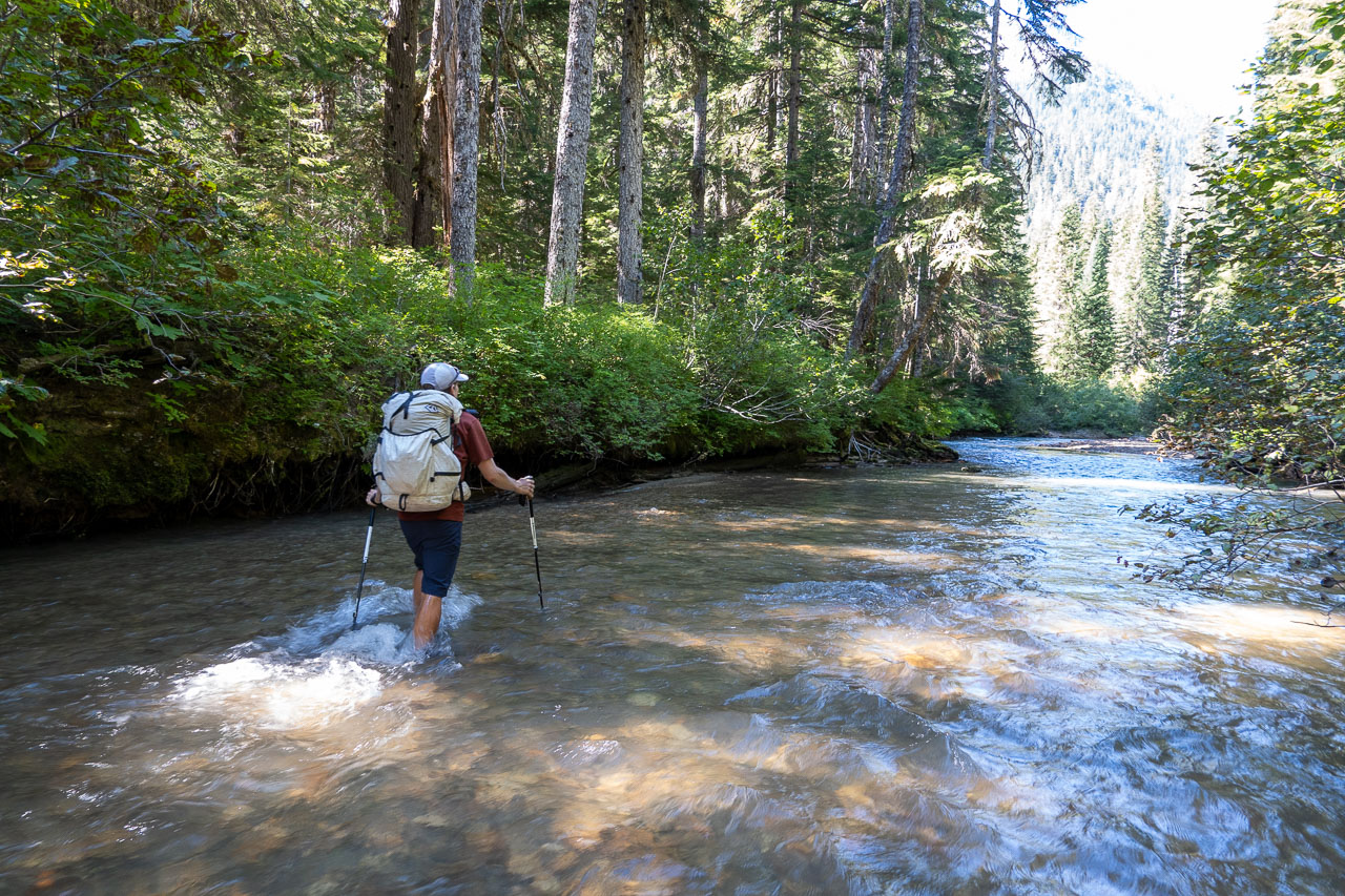
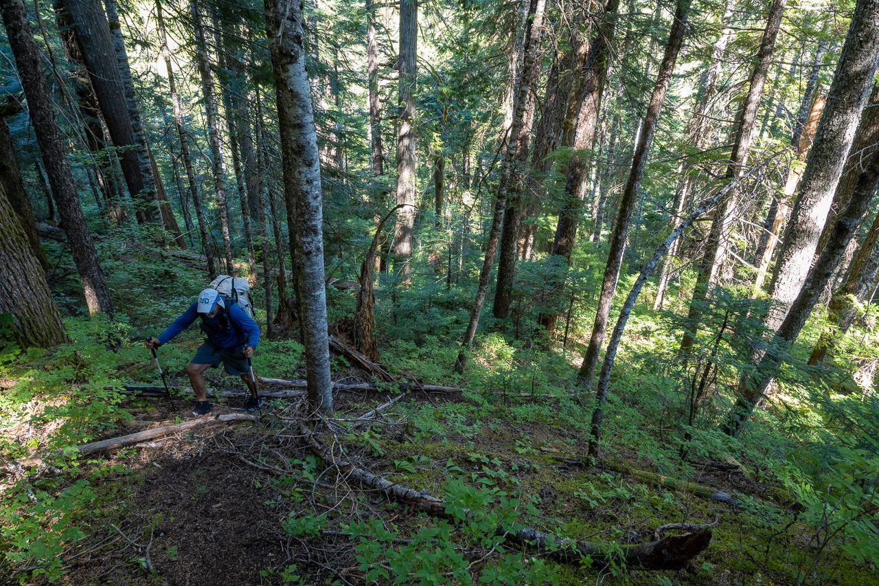
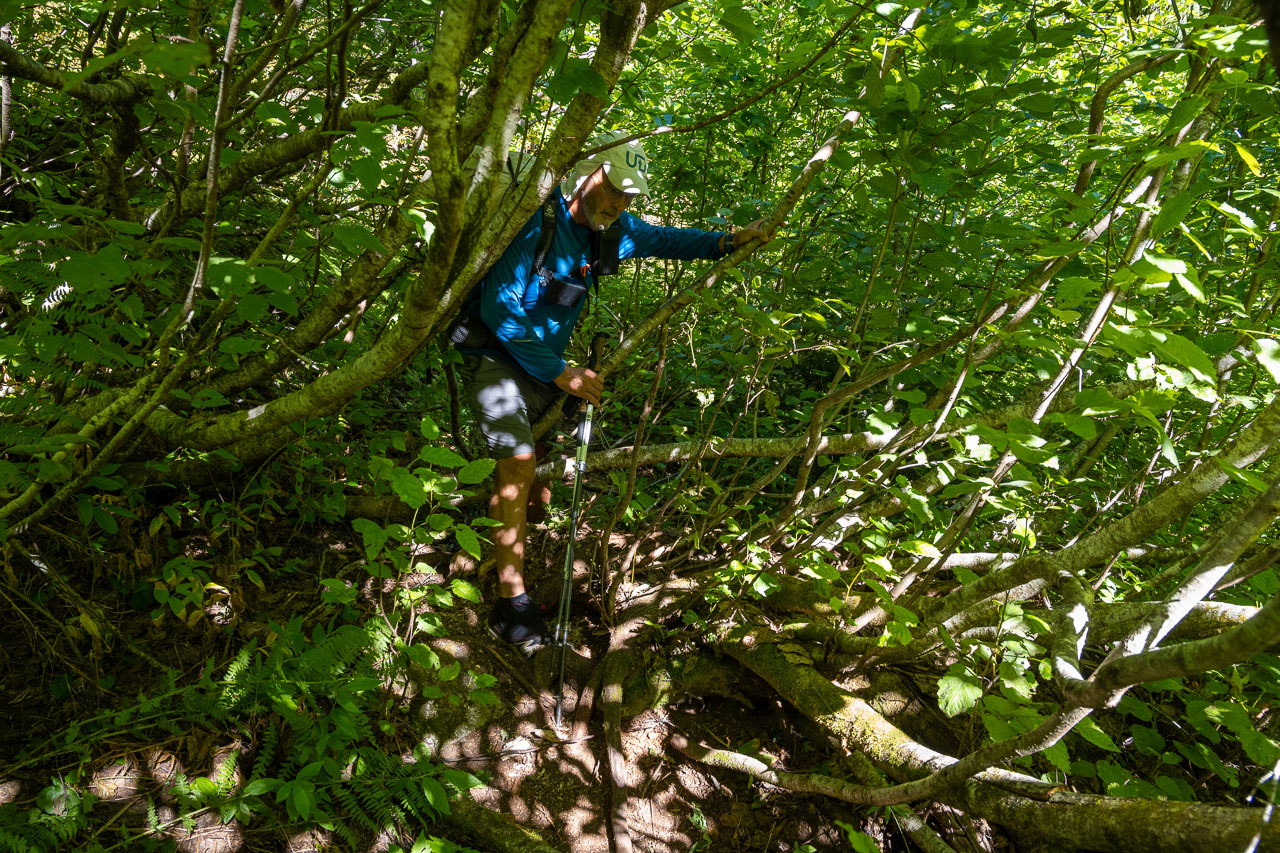
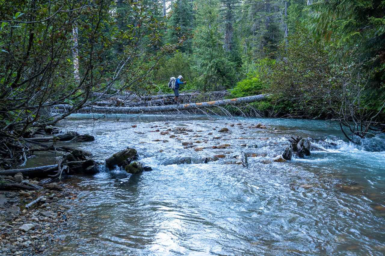
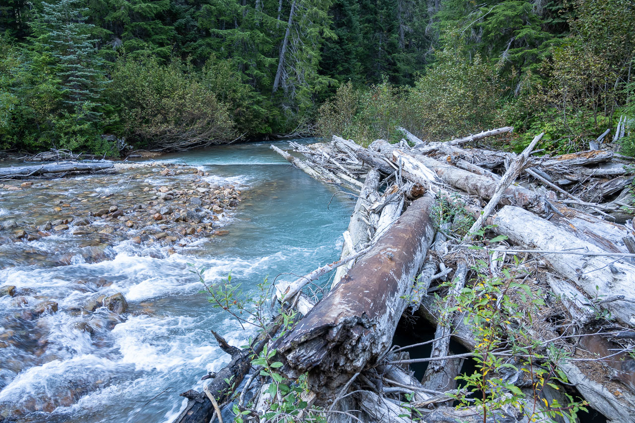
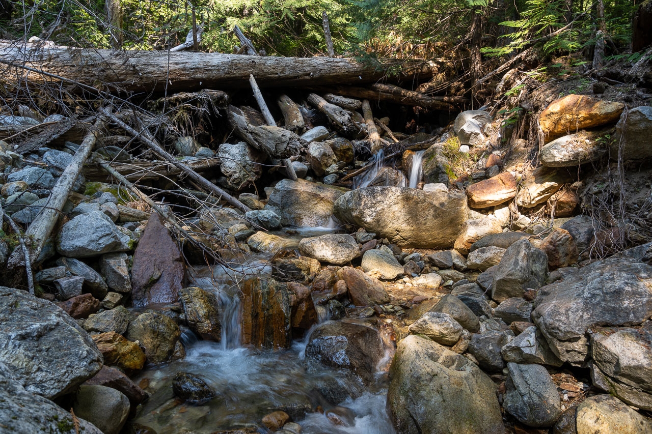
After roughly 10 miles we started to get close to the creek crossing that I had marked on the GPS. We left the trail after spotting a small rock cairn and began the bushwhack down to Big Beaver Creek. I had read there was a log crossing to get across the creek, but from where we hit the creek there were no logs in sight. There was some thick devil’s club lining the edge of the creek, and the water didn’t look very deep, so we decided to wade across instead of searching for the log crossing. The water was only shin-deep and made for a pretty easy crossing.
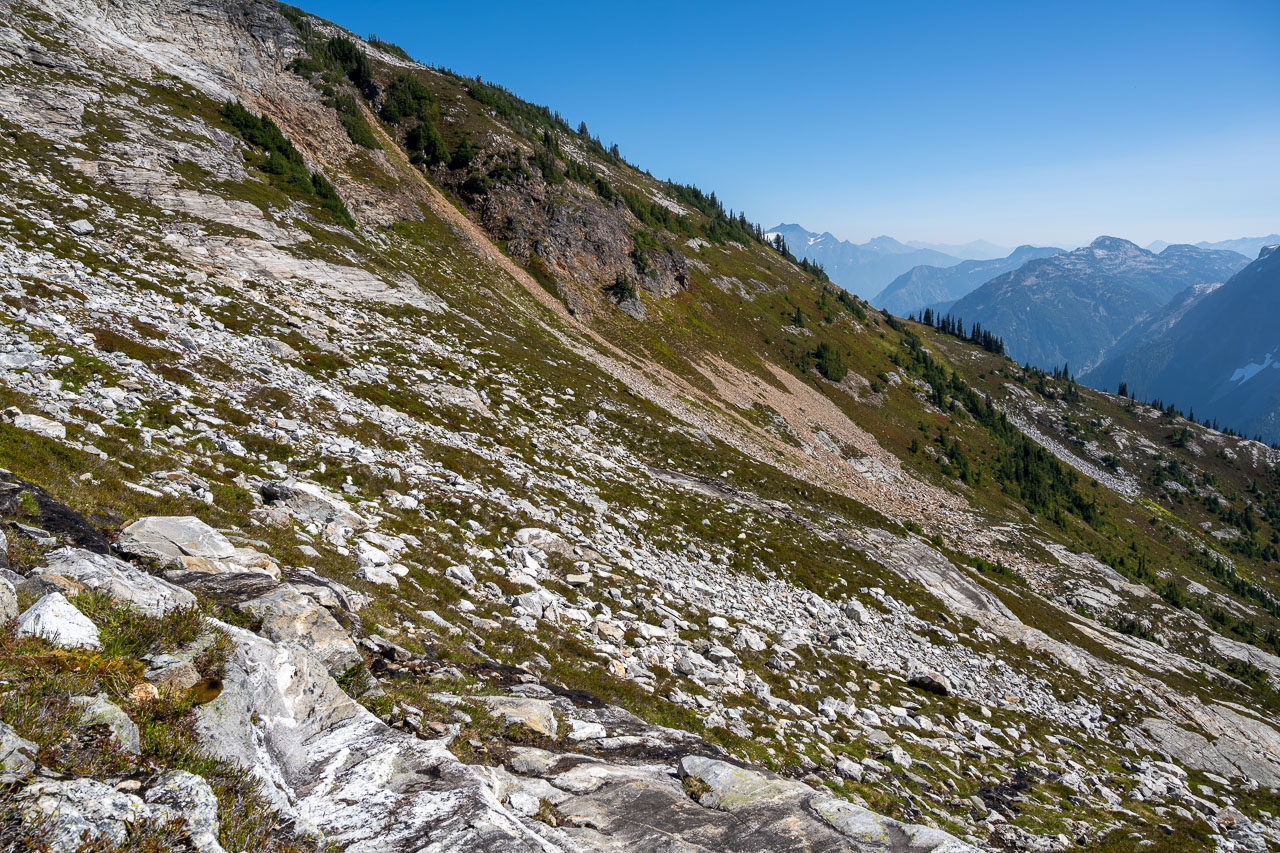
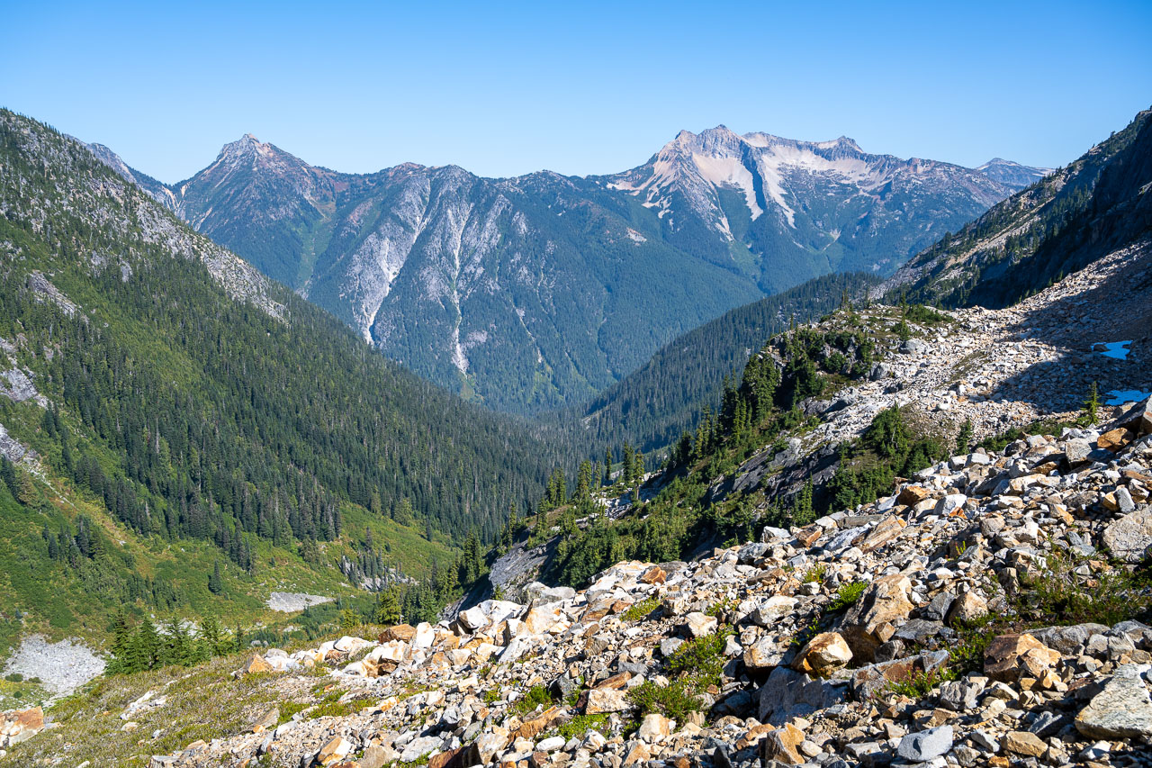
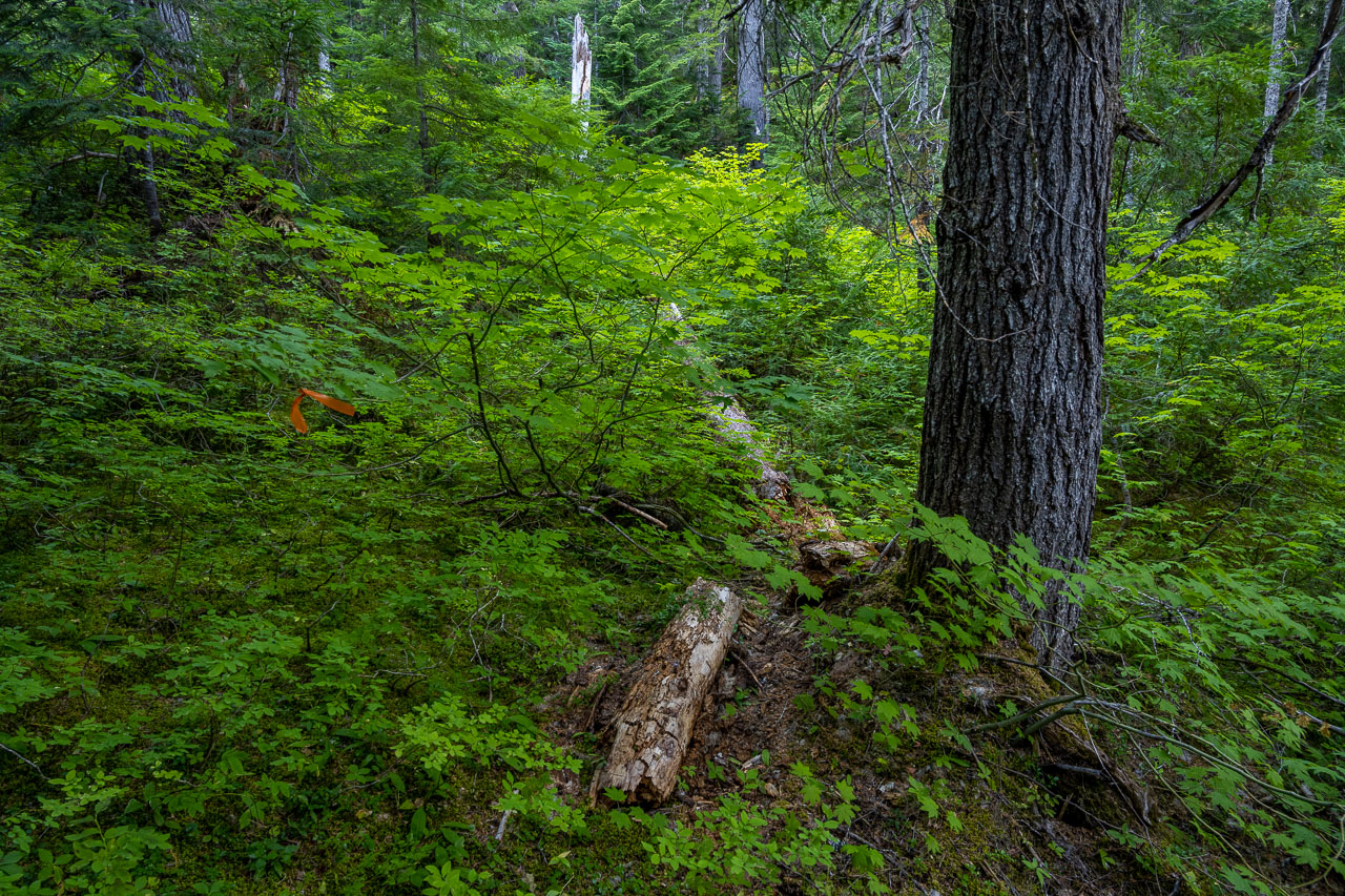
On the far side of the Big Beaver Creek we began searching for Access Creek. There are some braided channels in the area, but after some bushwhacking we found our way to the north side of the northernmost channel of Access Creek. We picked up some orange flagging and started following a pretty good use trail up the hillside. Unfortunately, at the top of a small rise, we strayed a little too far from the creek and ended up losing the trail. After a half mile of side hilling through the bush we eventually rejoined the route higher up.
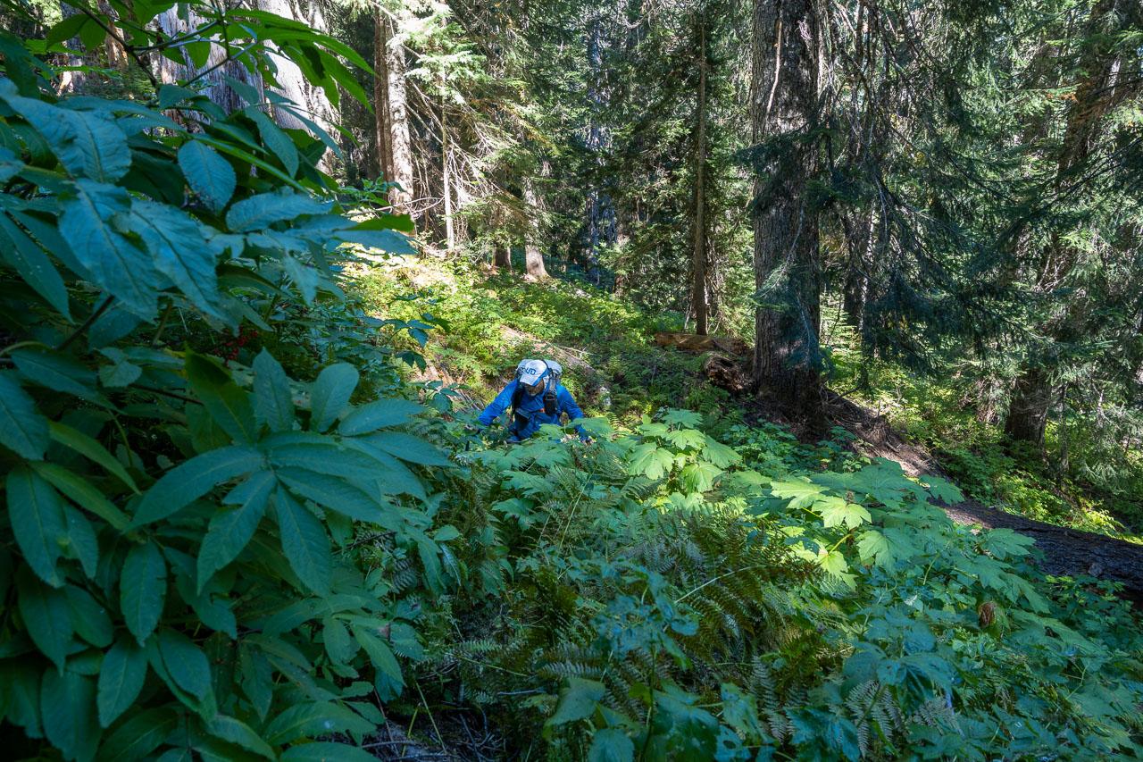
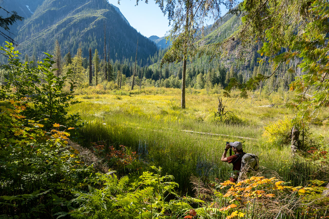
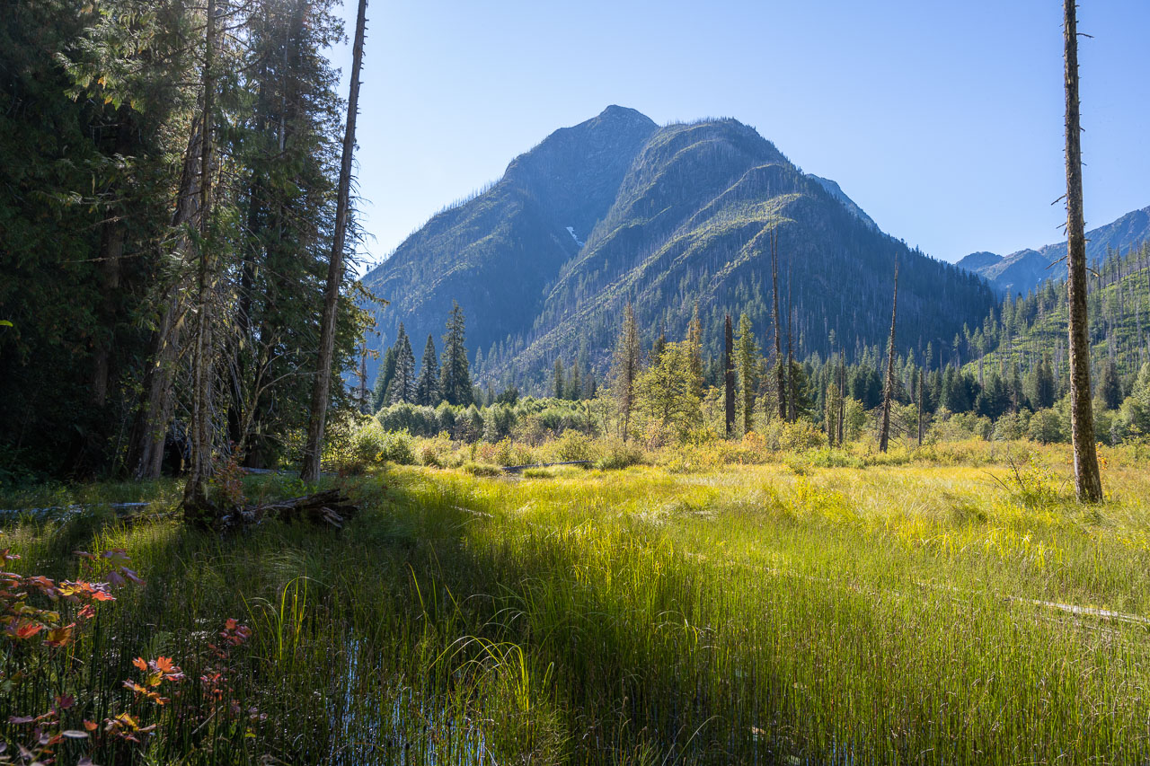
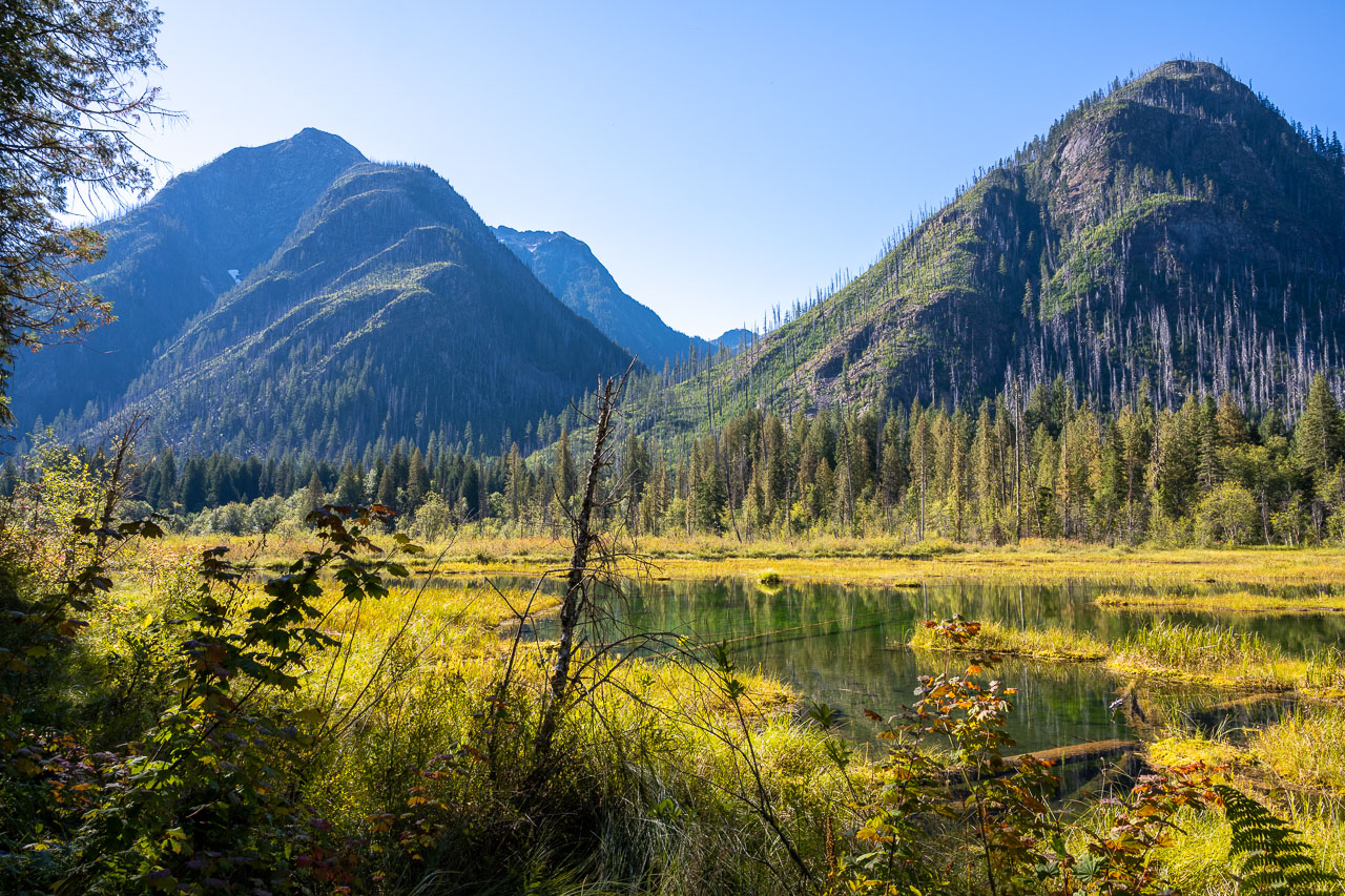
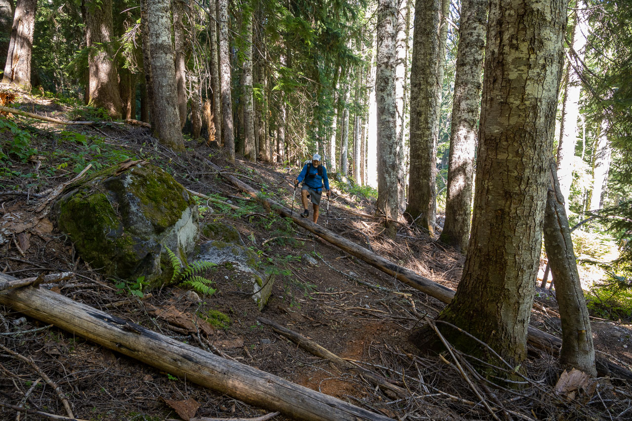
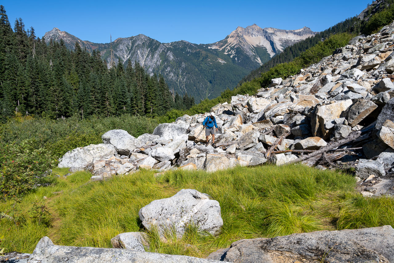
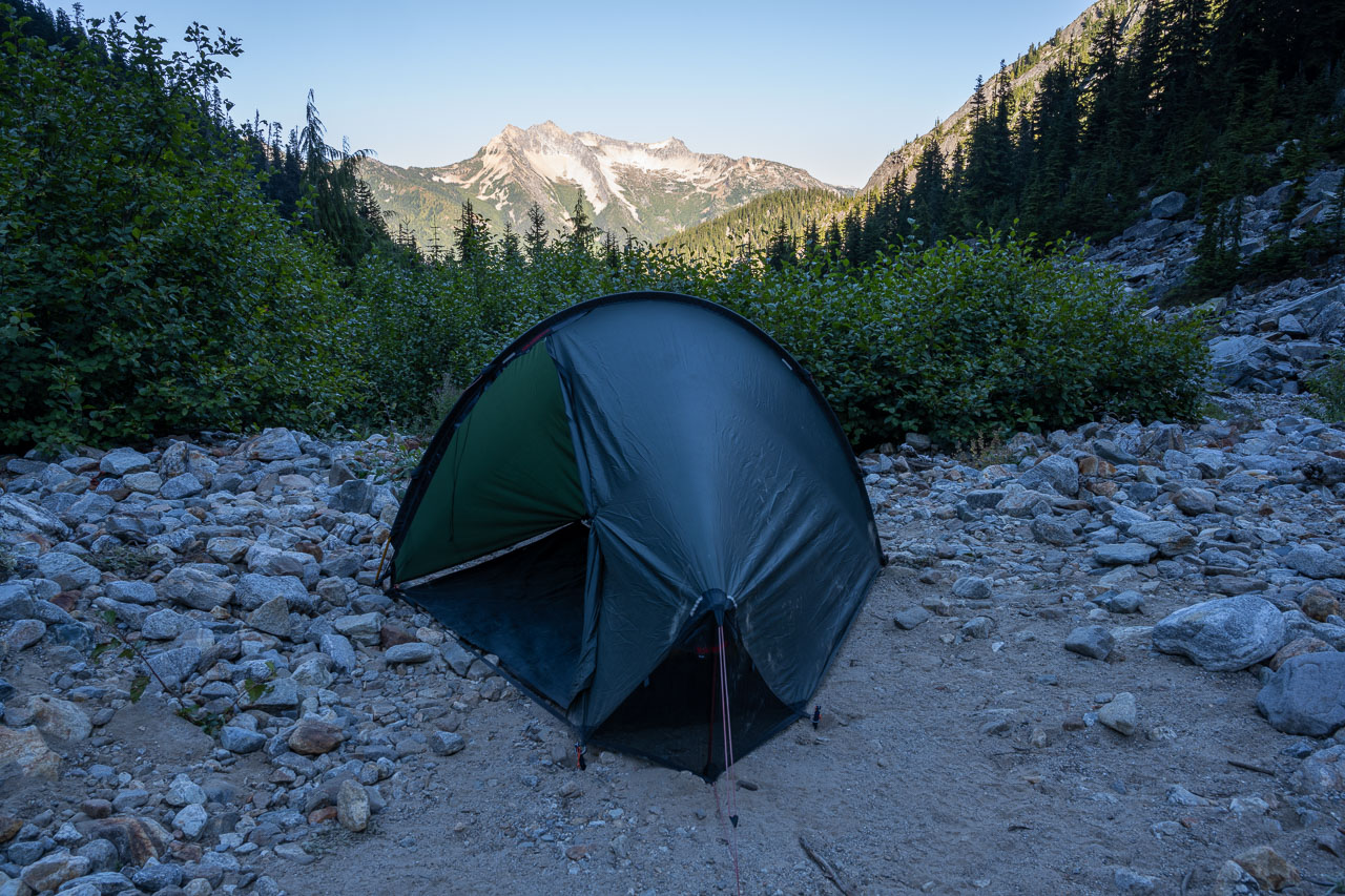
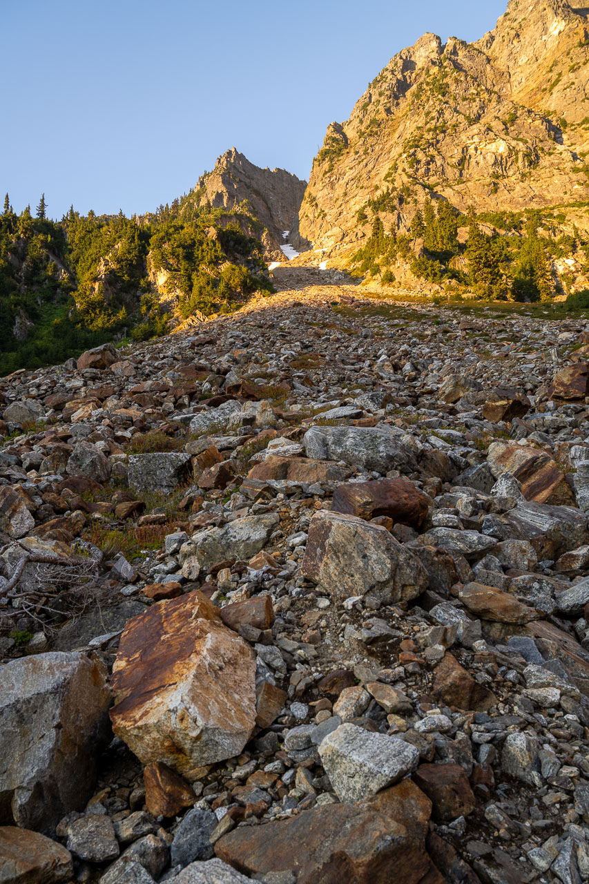
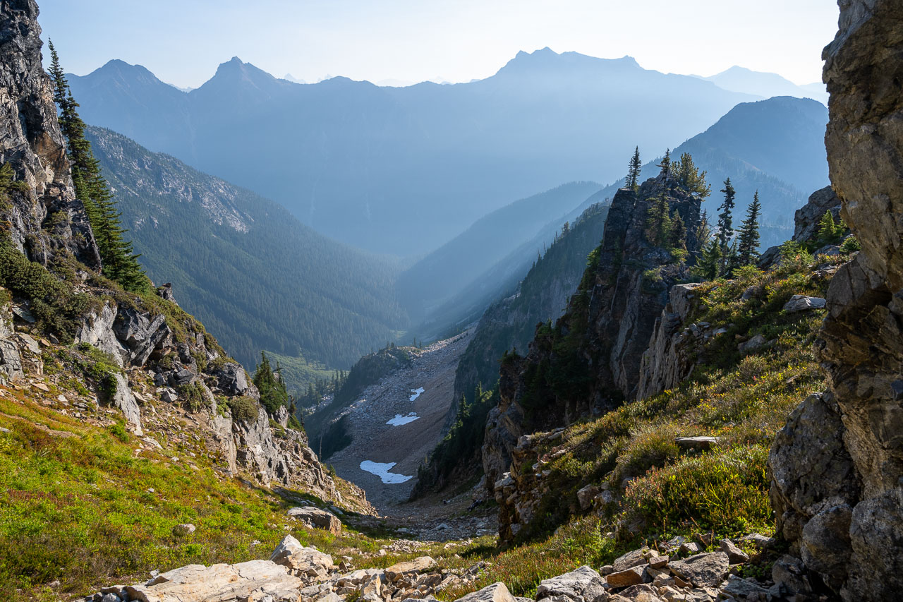
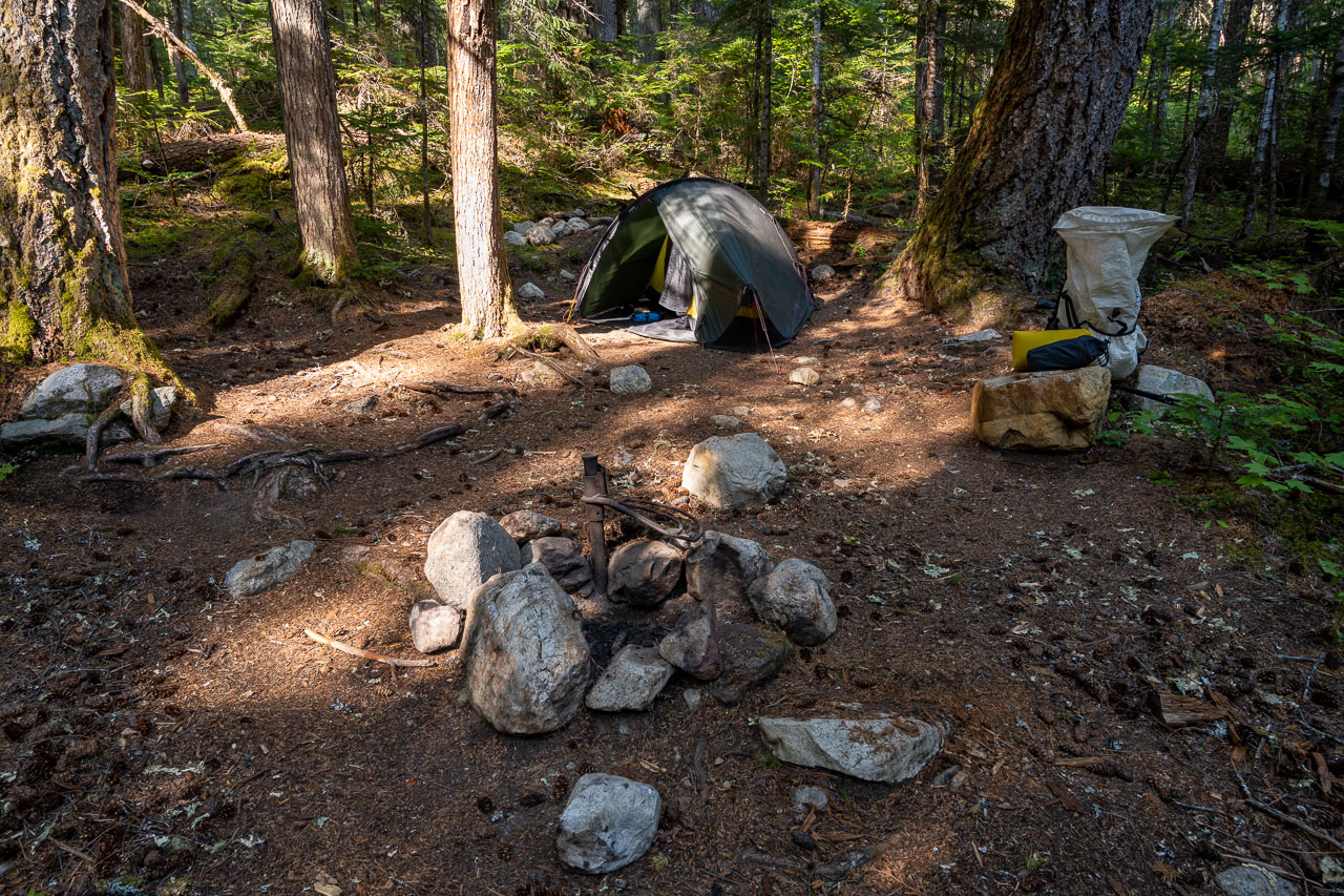
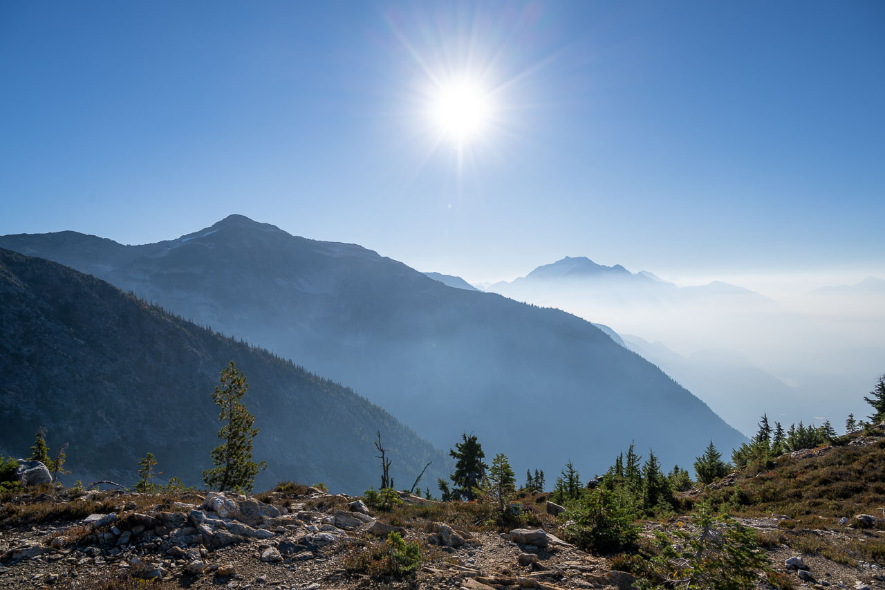
The use trail became more well defined the higher we went, and we soon found the crossing over to the south side of Access Creek. From there, we passed through some boulder fields and began to look for a campsite. The best spot is probably in a grassy area shortly after crossing Access Creek, but we eventually found a few small spots that had been cleared in the wash beyond the uppermost boulder field. We spent the afternoon relaxing at camp and enjoying the views. The smoke from the previous day had mostly cleared and we were hoping it would stay that way for remainder of the trip.

13.3 Miles, 4700 Gain
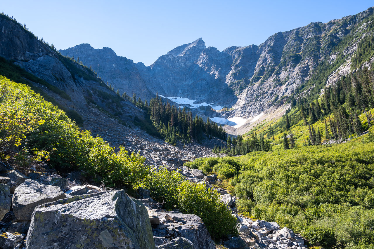
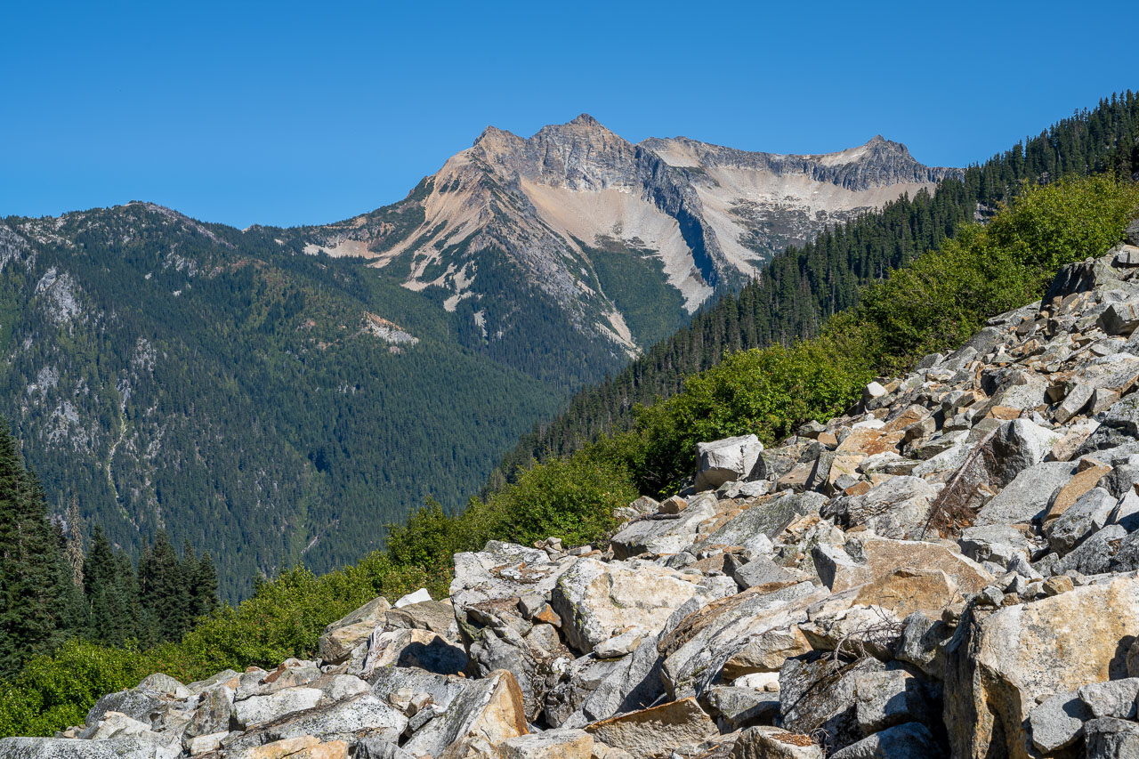
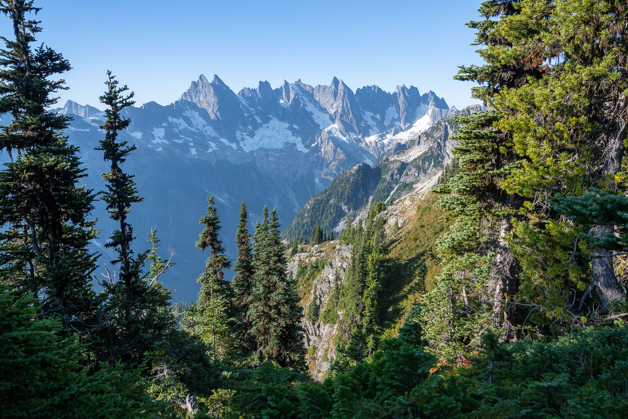
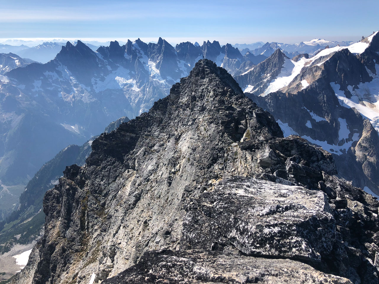
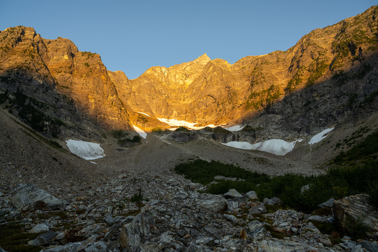
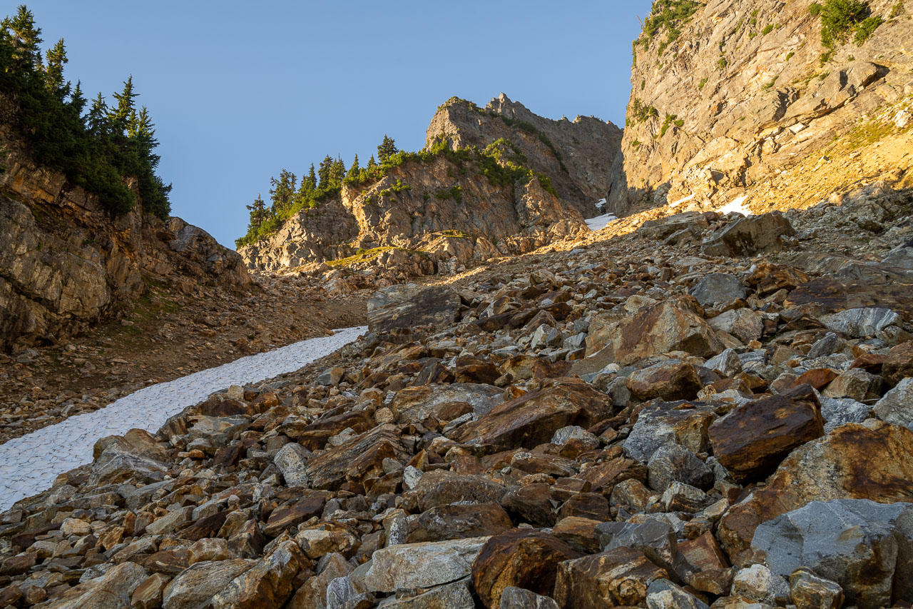
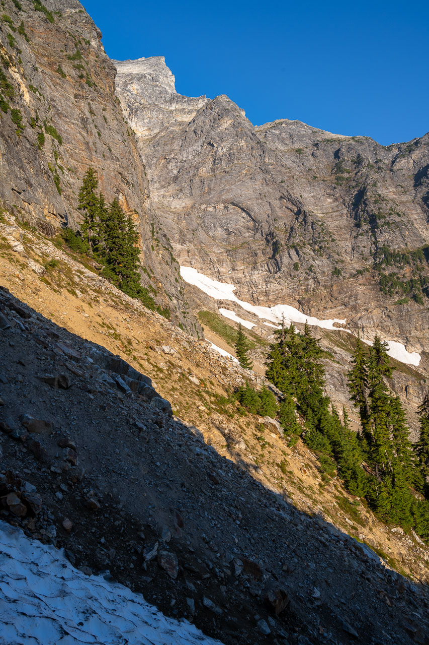
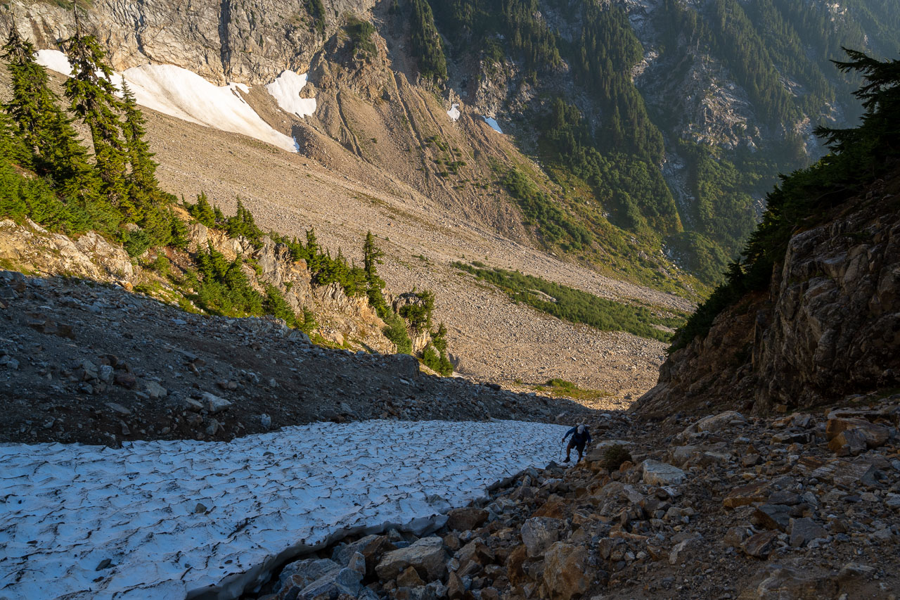
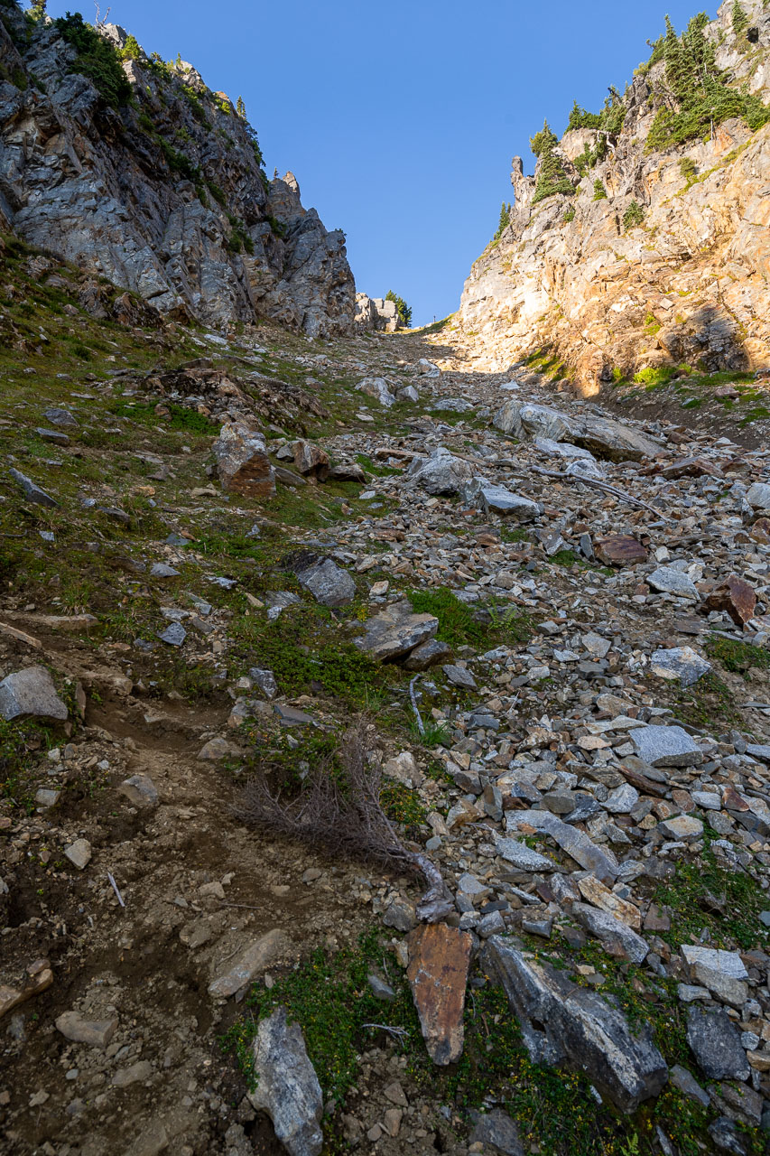
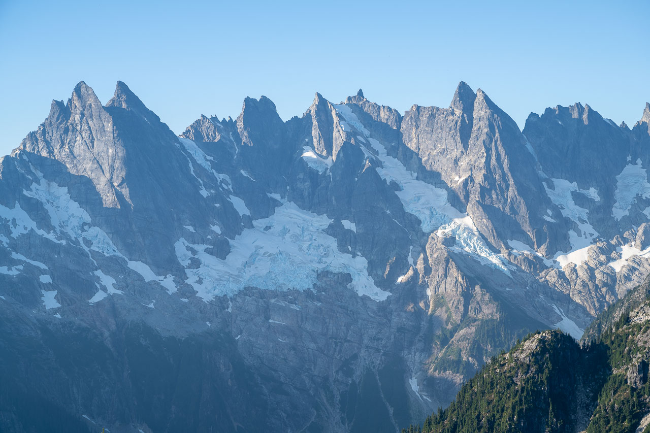
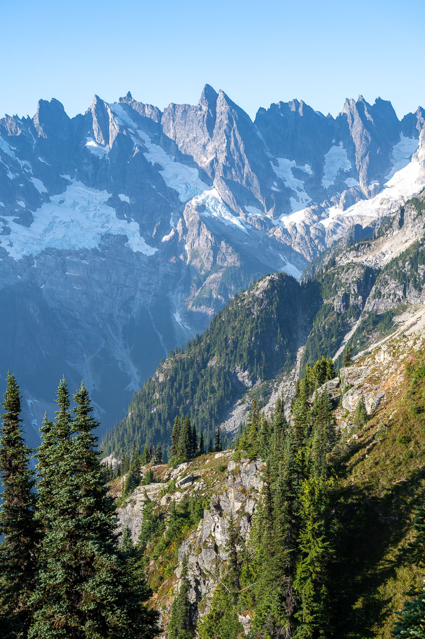
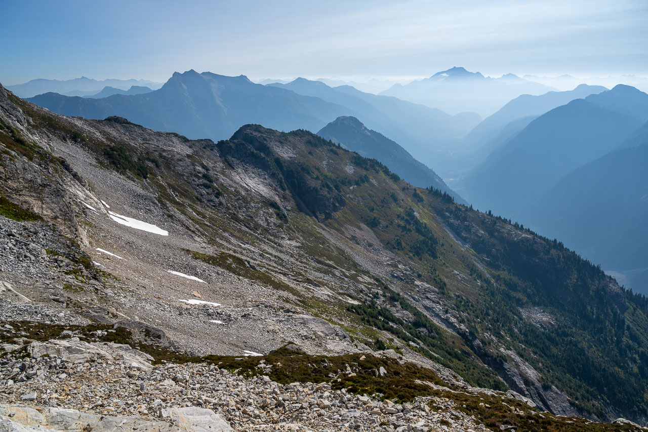
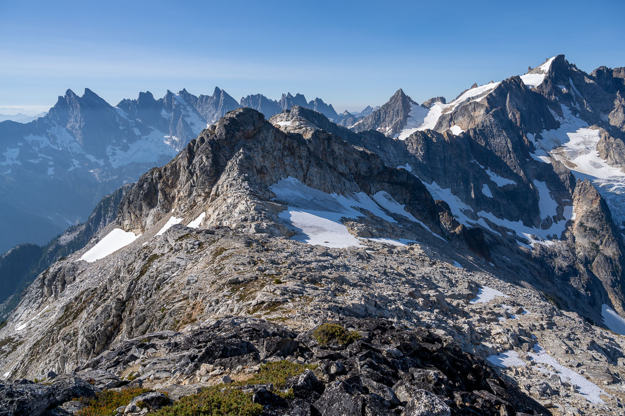
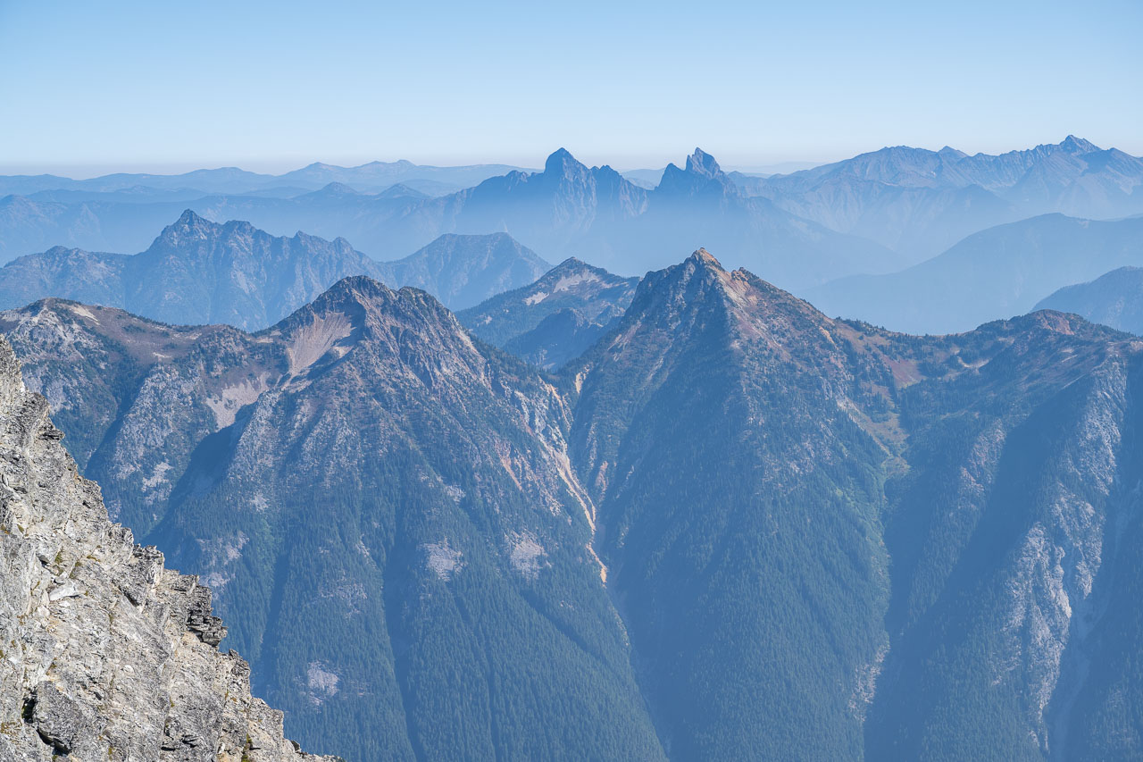
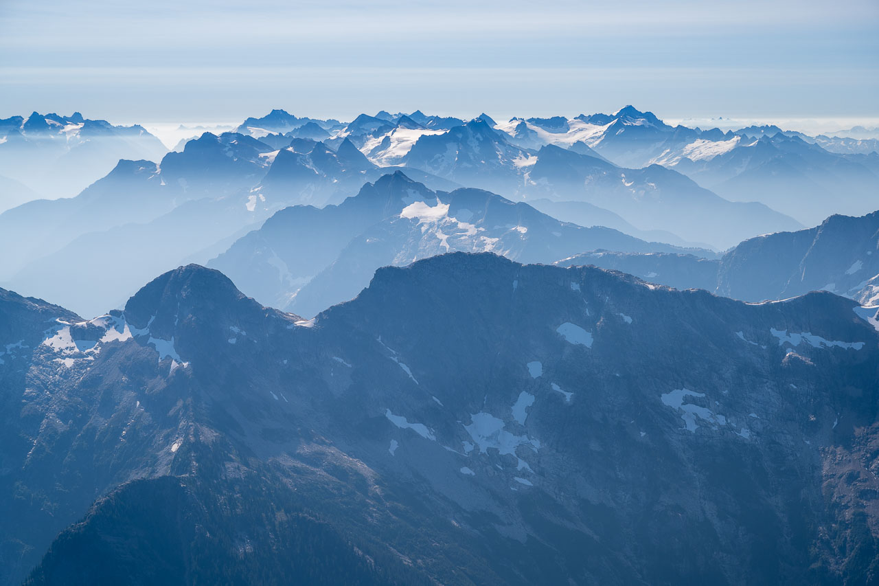
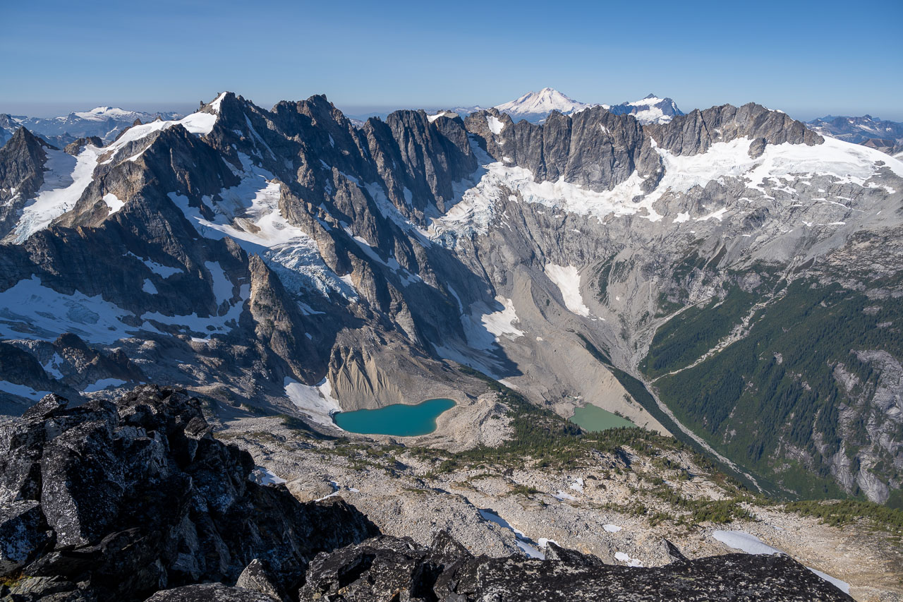
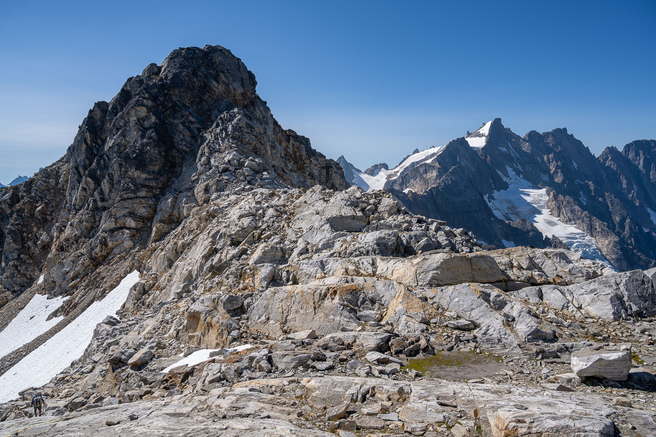
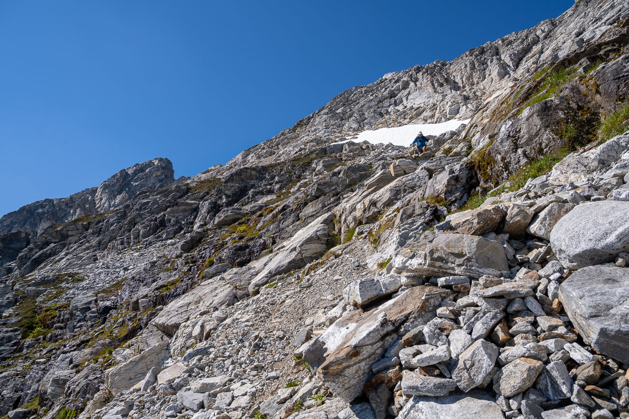
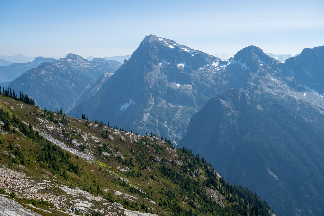
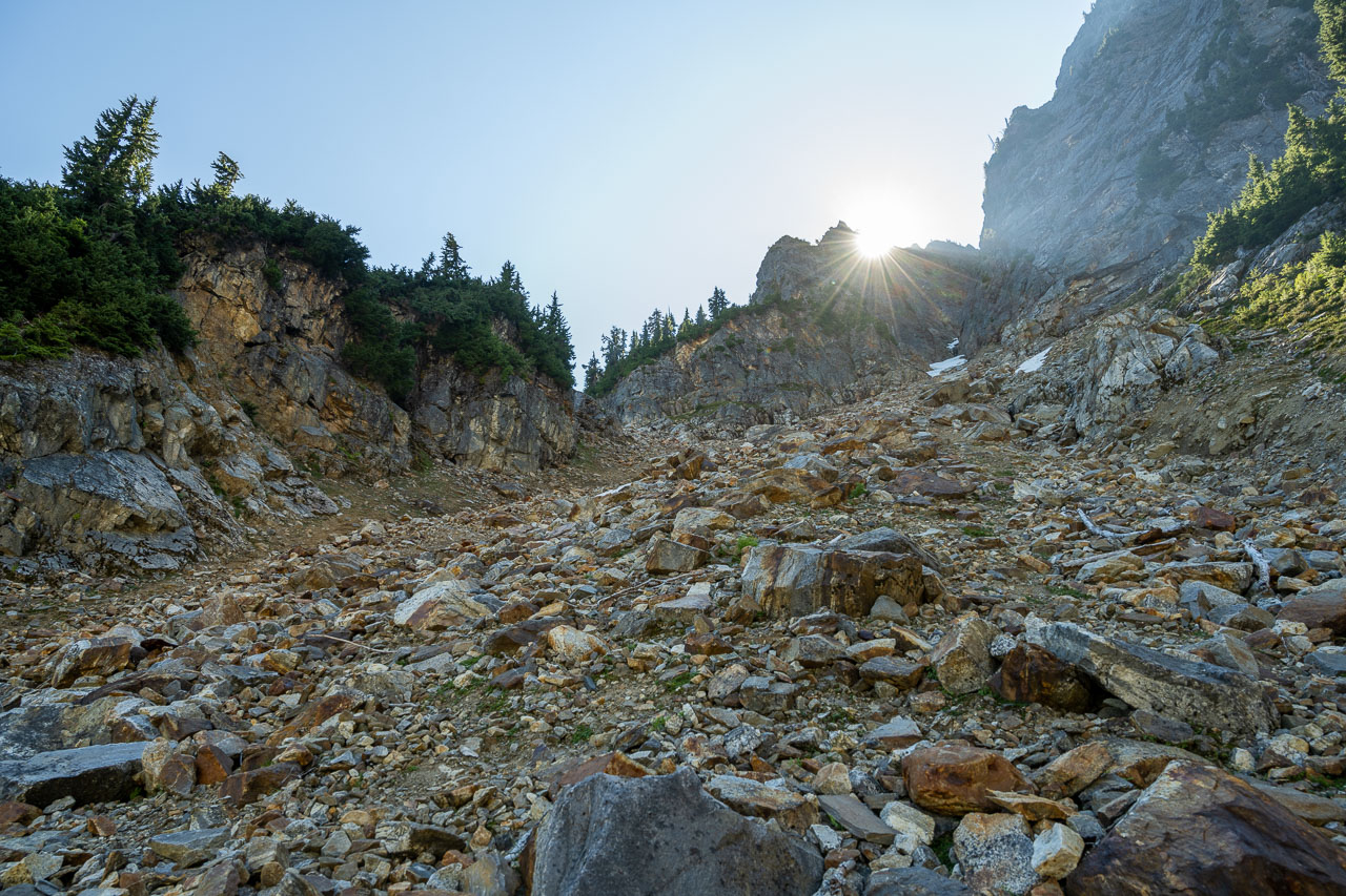
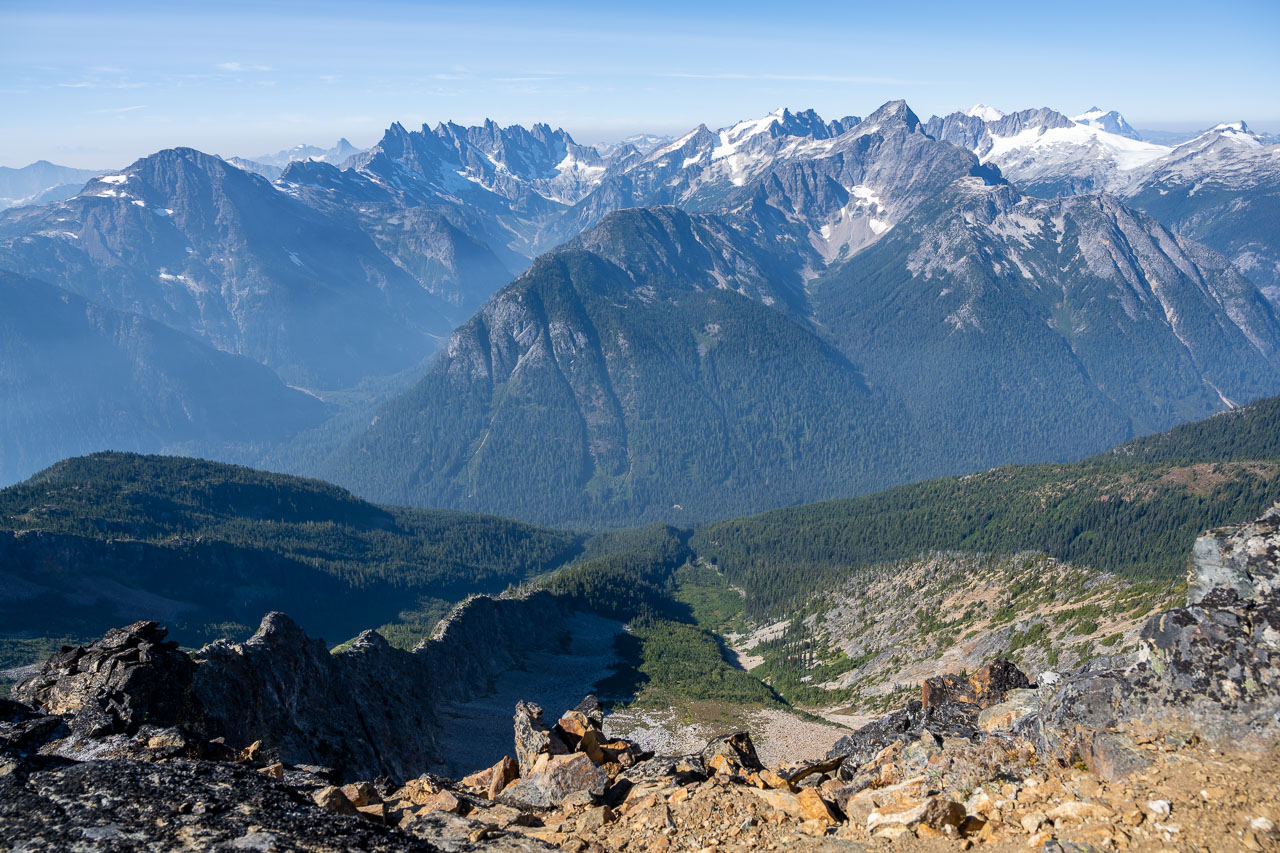
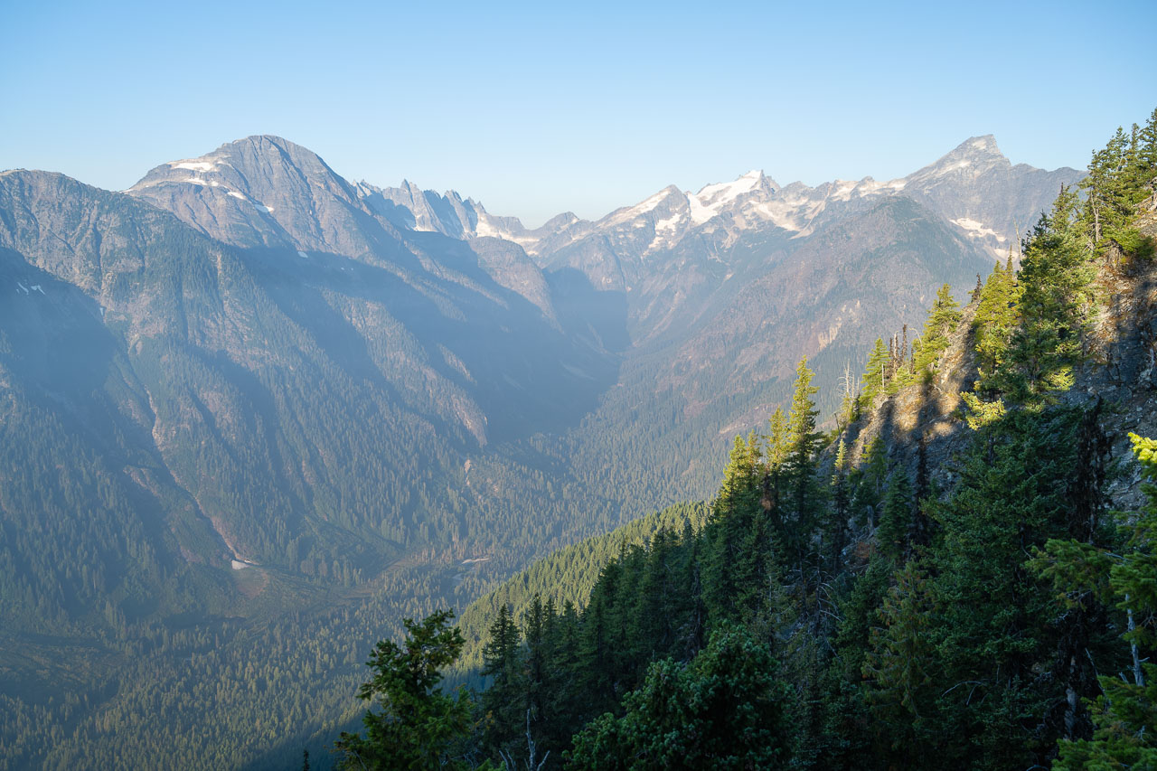
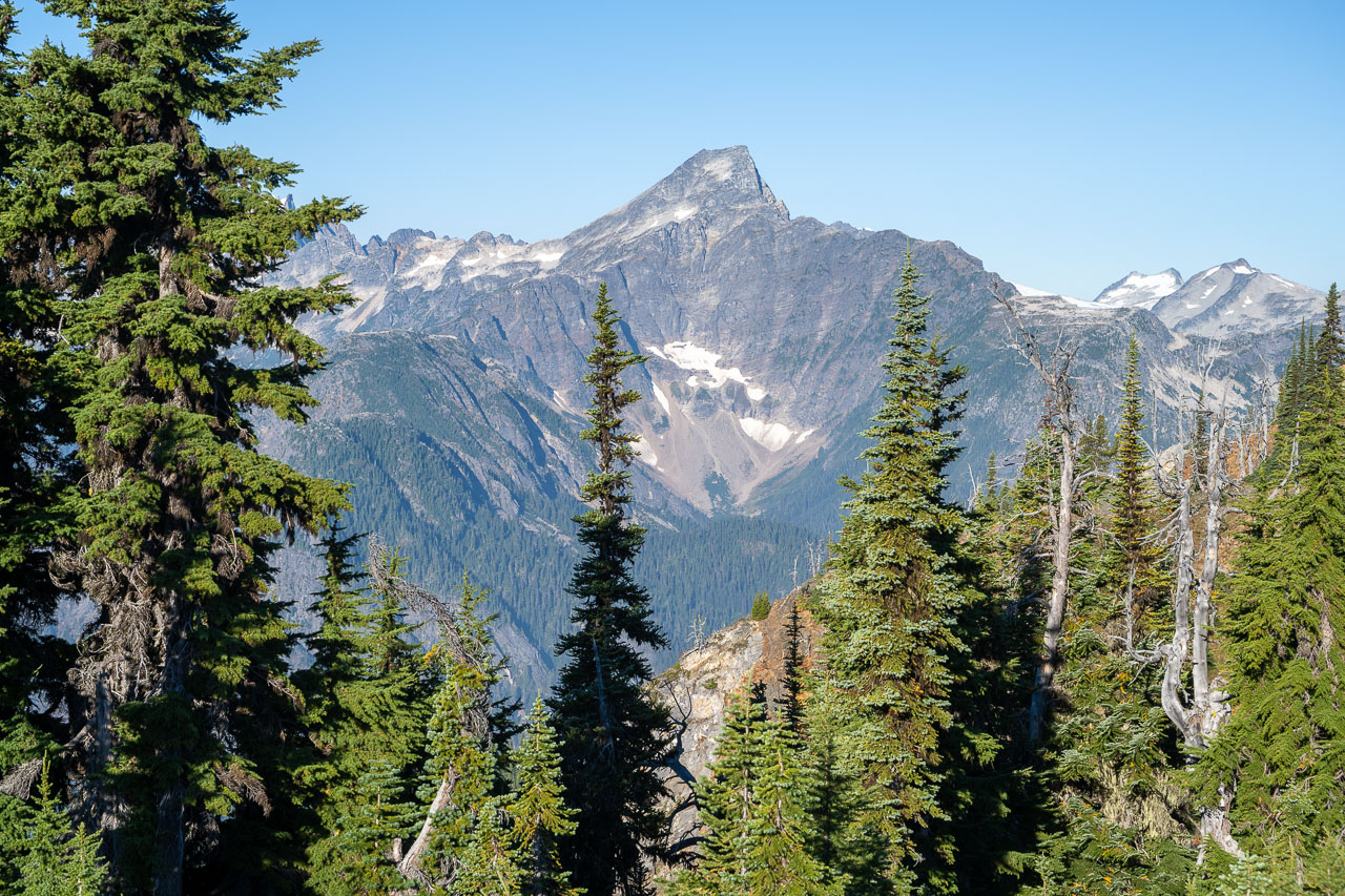
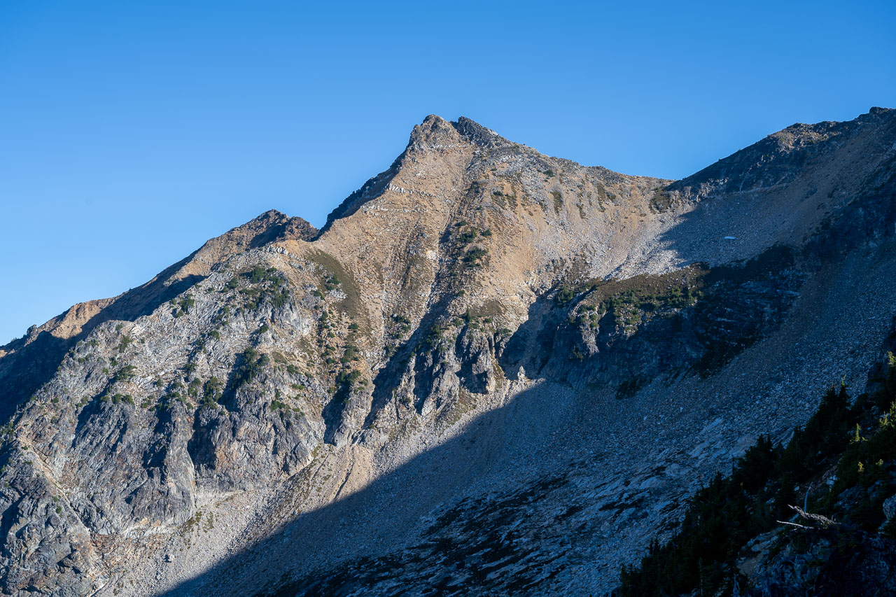
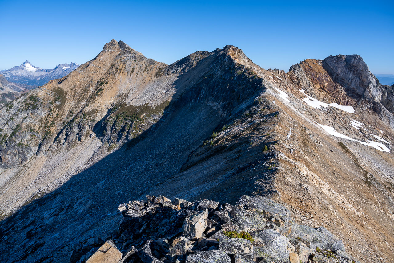
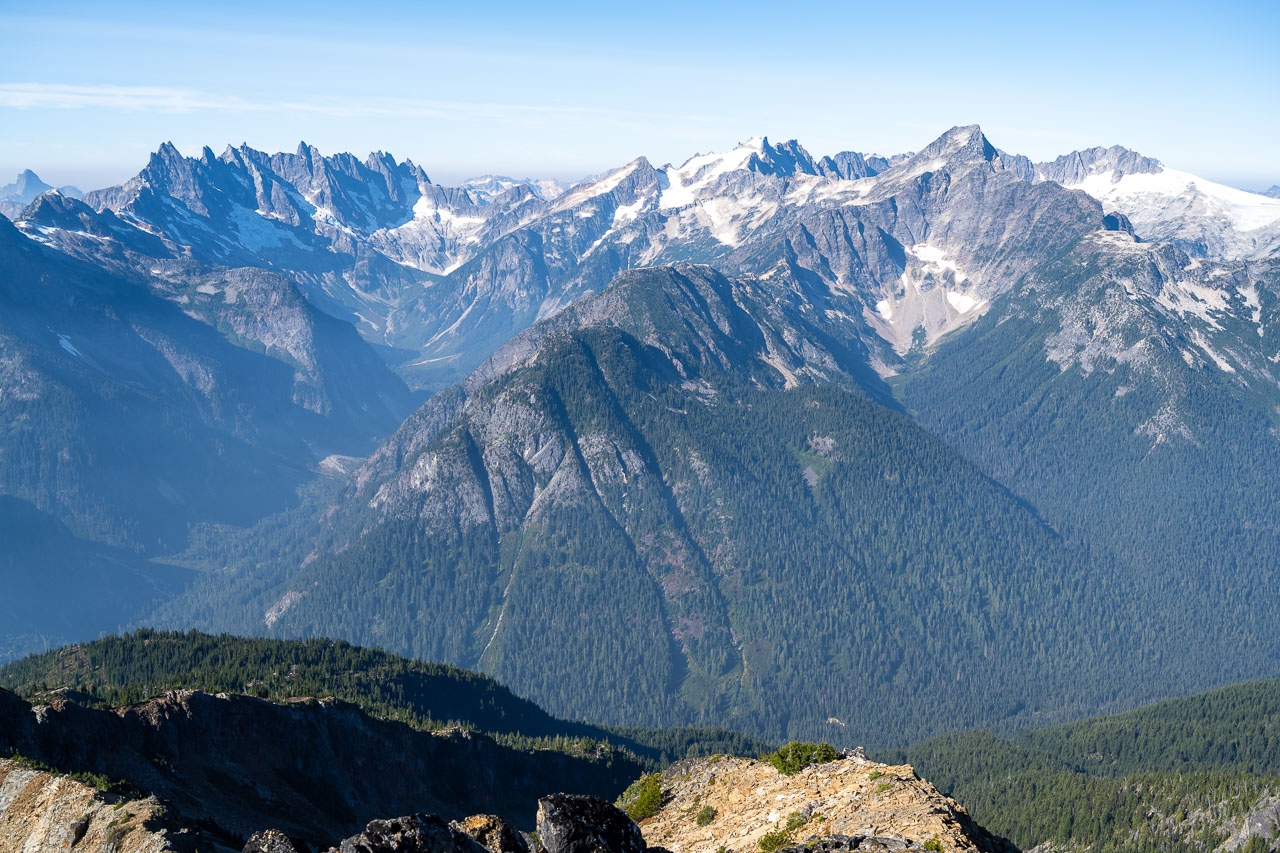
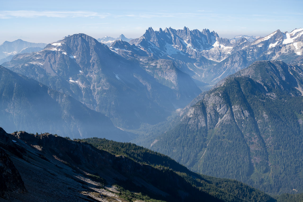
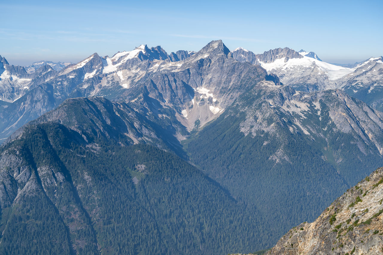
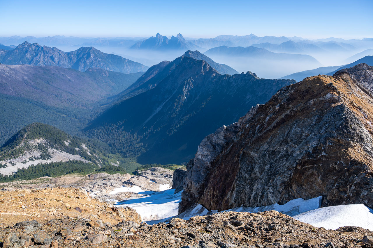
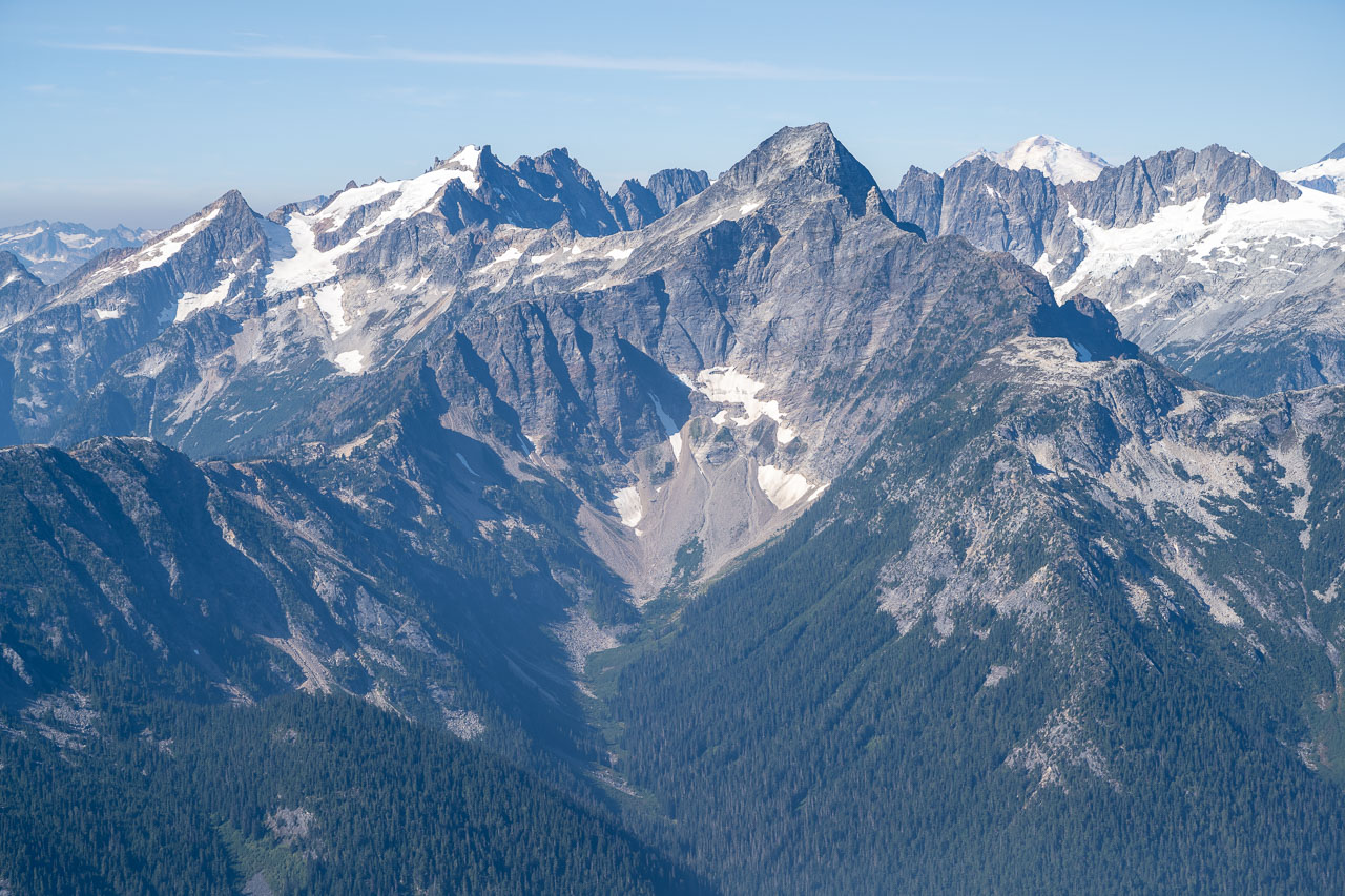
In the morning we started hiking just as the sun was starting to hit the east face of Luna Peak. From camp we went up a series of two chutes to reach the ridgeline above. The lower chute was rocky with a small patch of icy late season snow that could be avoided on the left. The upper chute was completely melted out with a climber’s trail that led conveniently to the top. Arriving at the top of the upper chute, we got our first view of the jagged Southern Pickets. Combined with the Northern Pickets, these make up some of the most rugged peaks in the state. This is definitely an area that I would like to come back and spend some more time exploring. We spent some time taking pictures and enjoying the view, then started the traverse over to Luna Col.
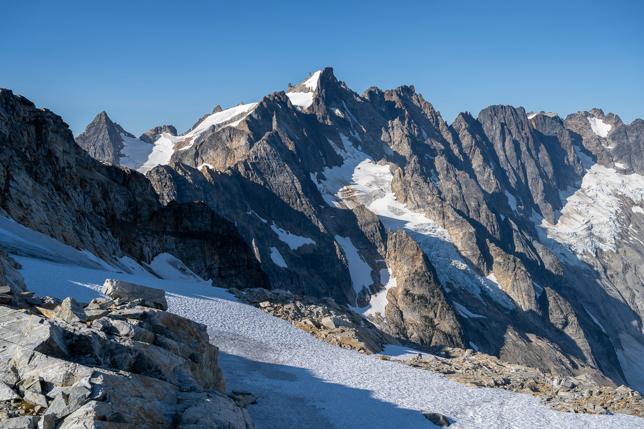
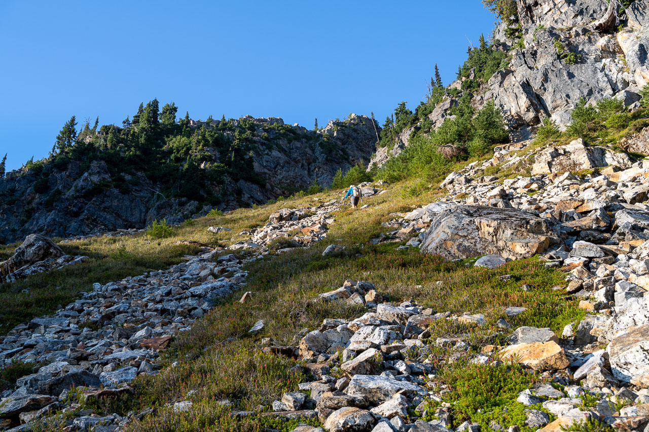
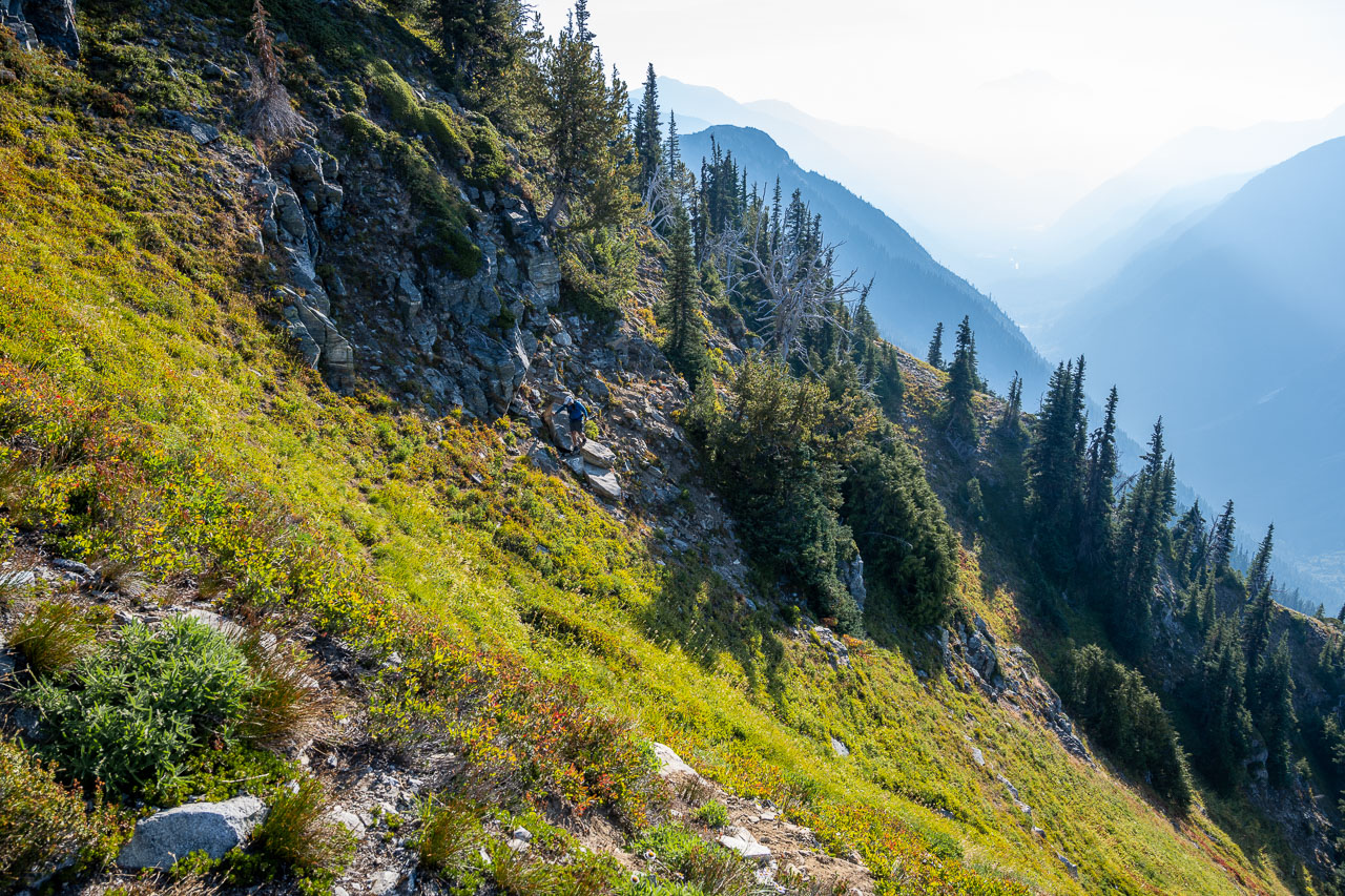
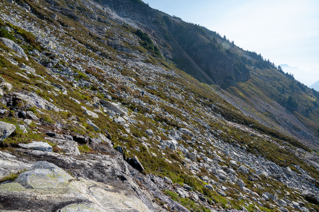
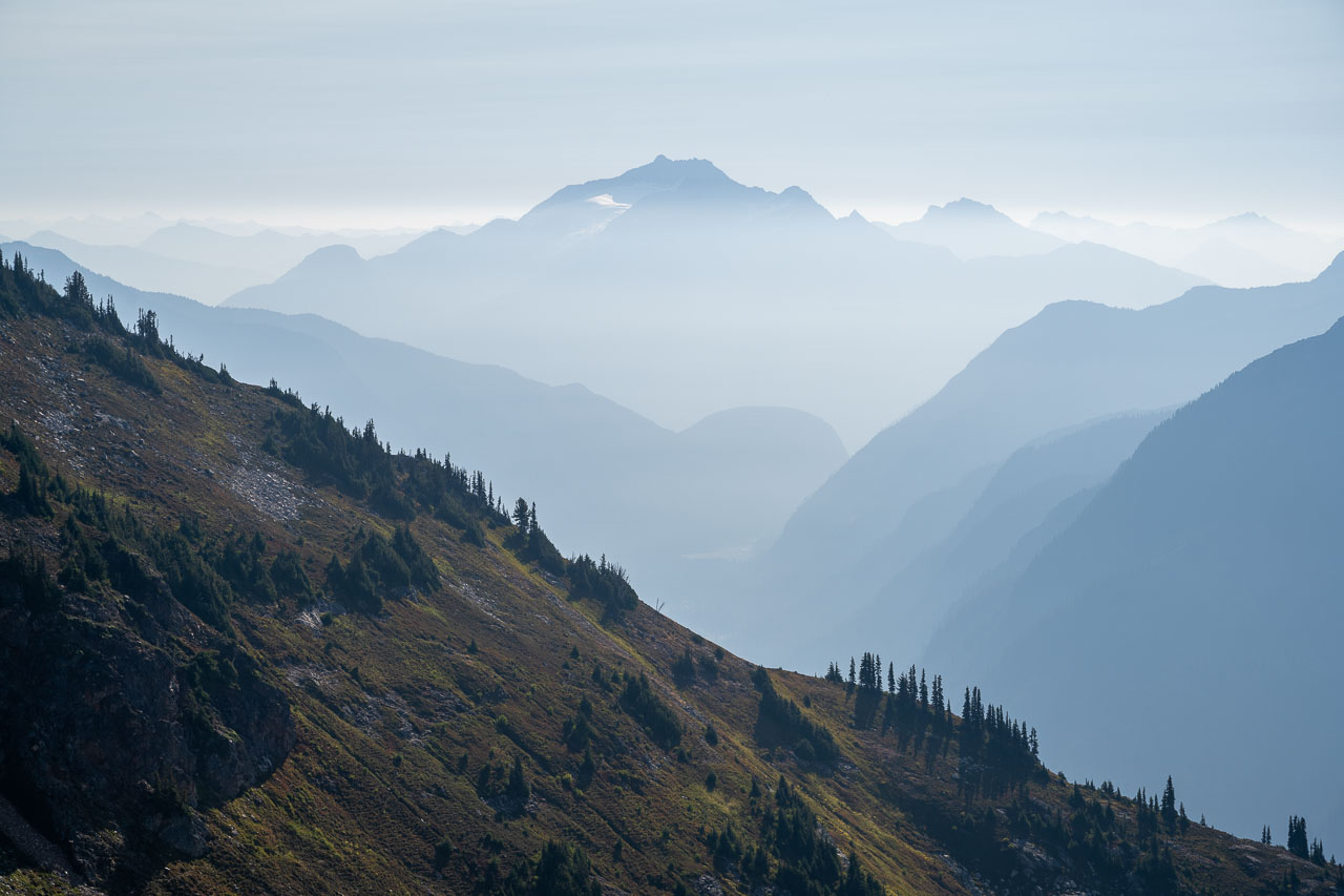
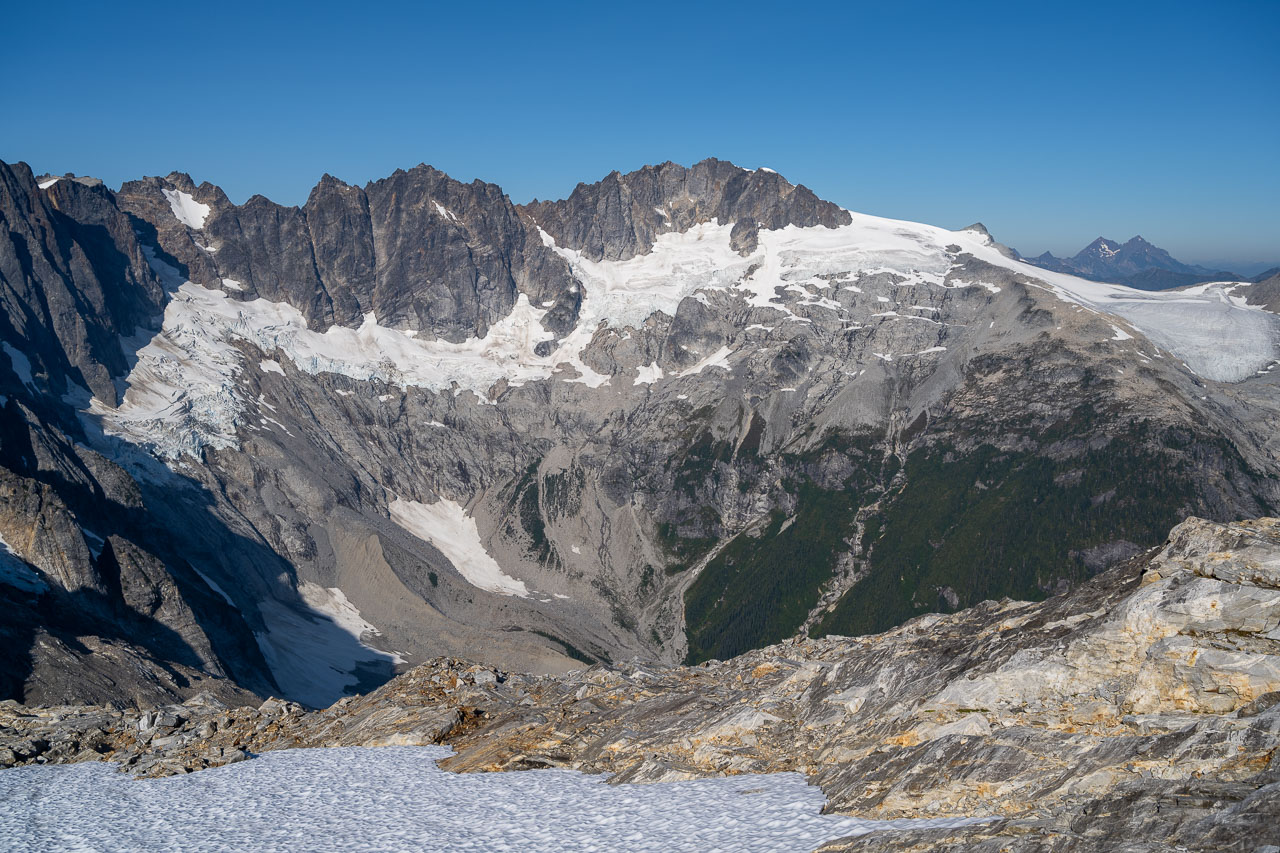
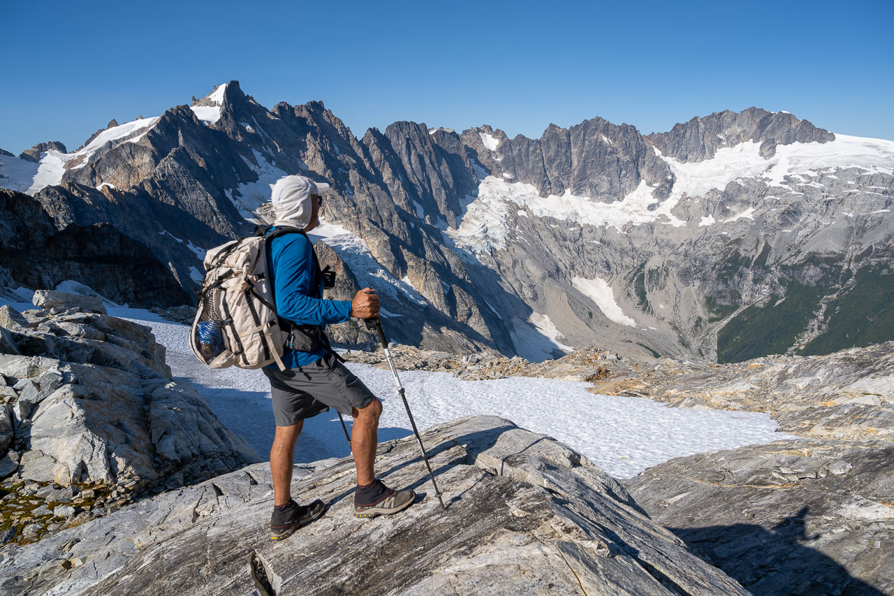
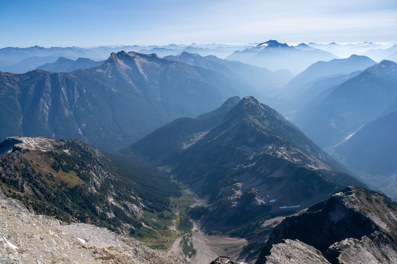
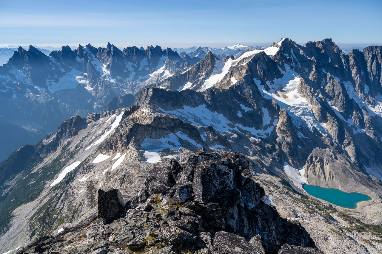
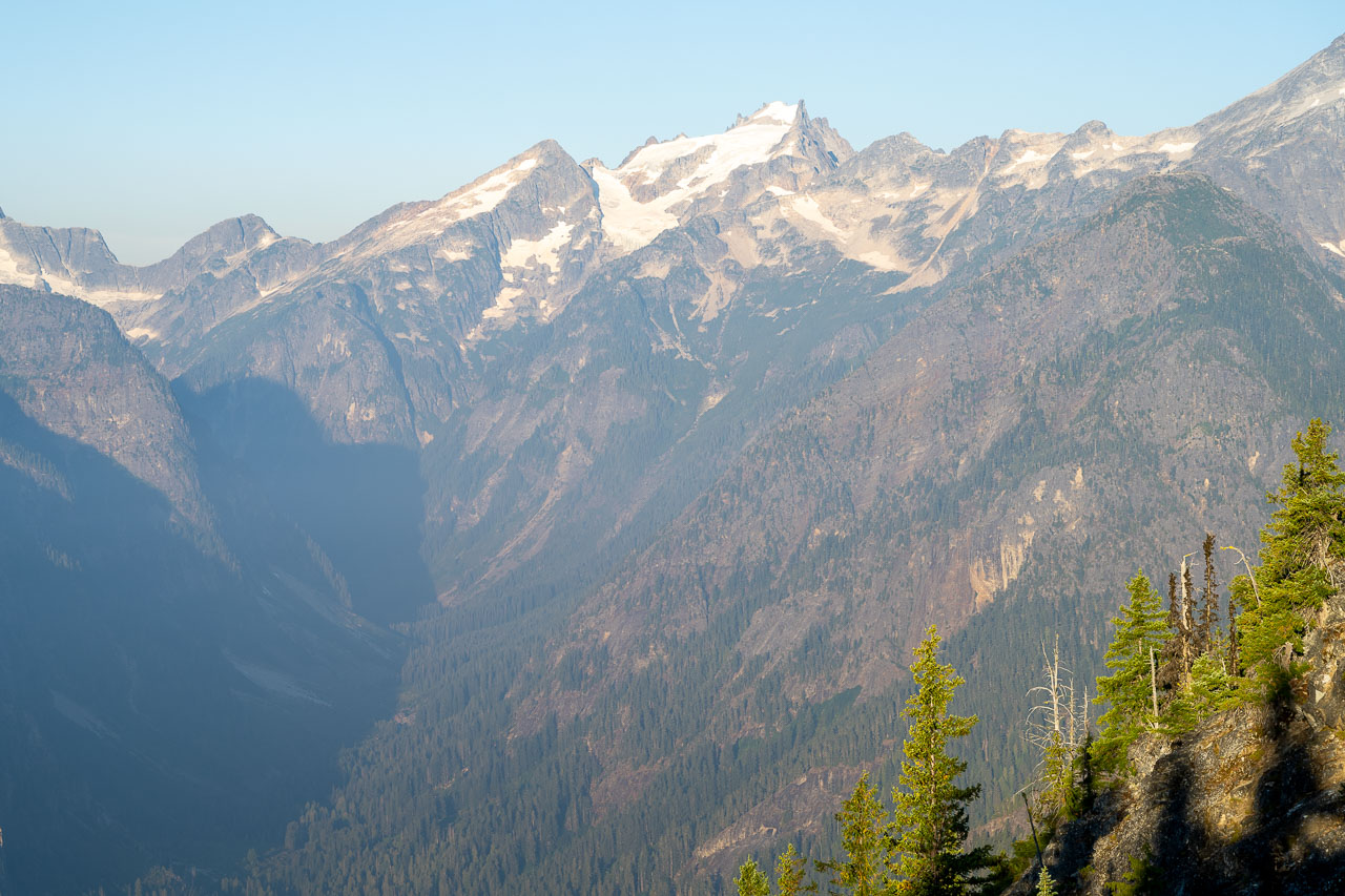
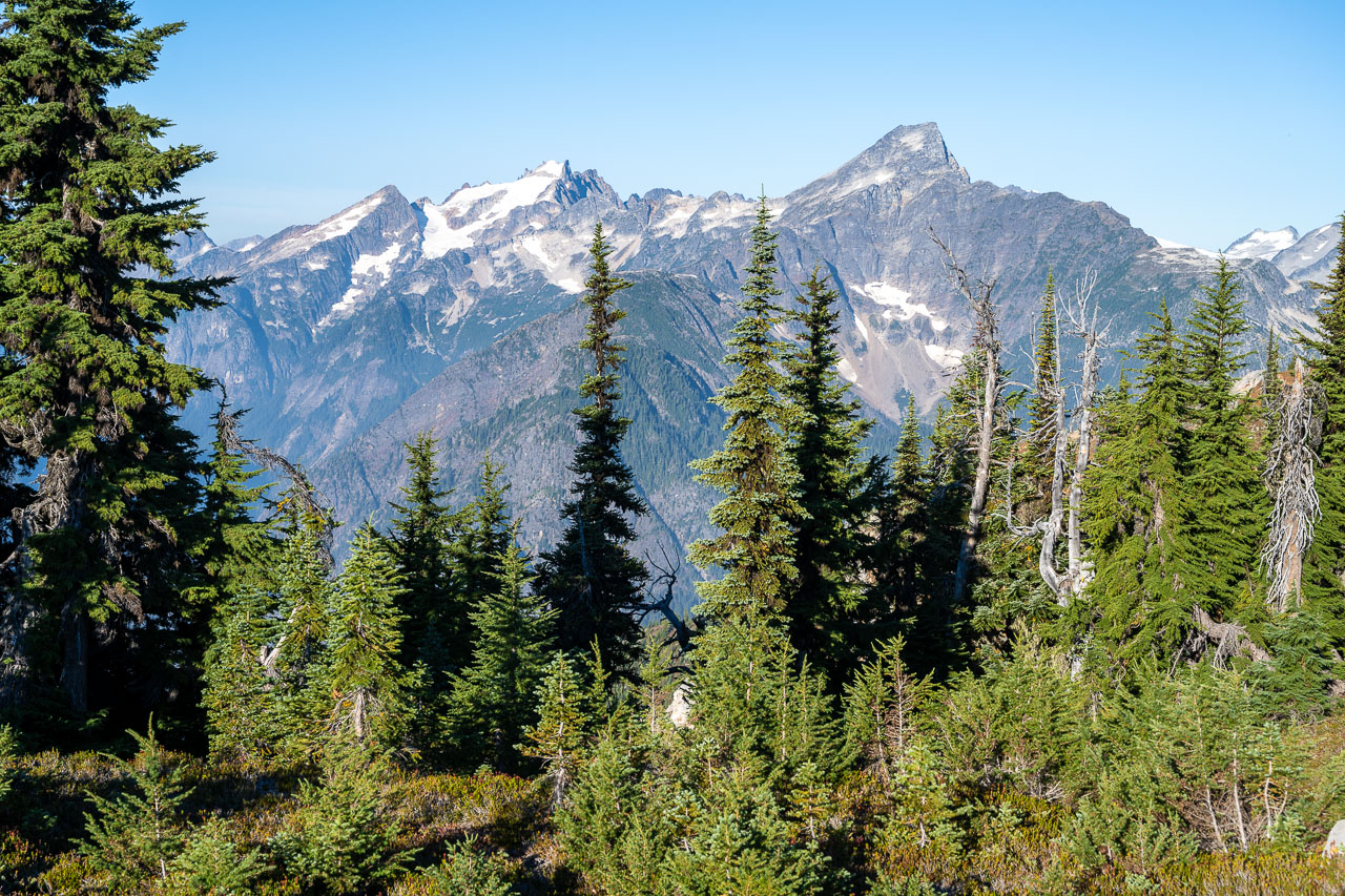
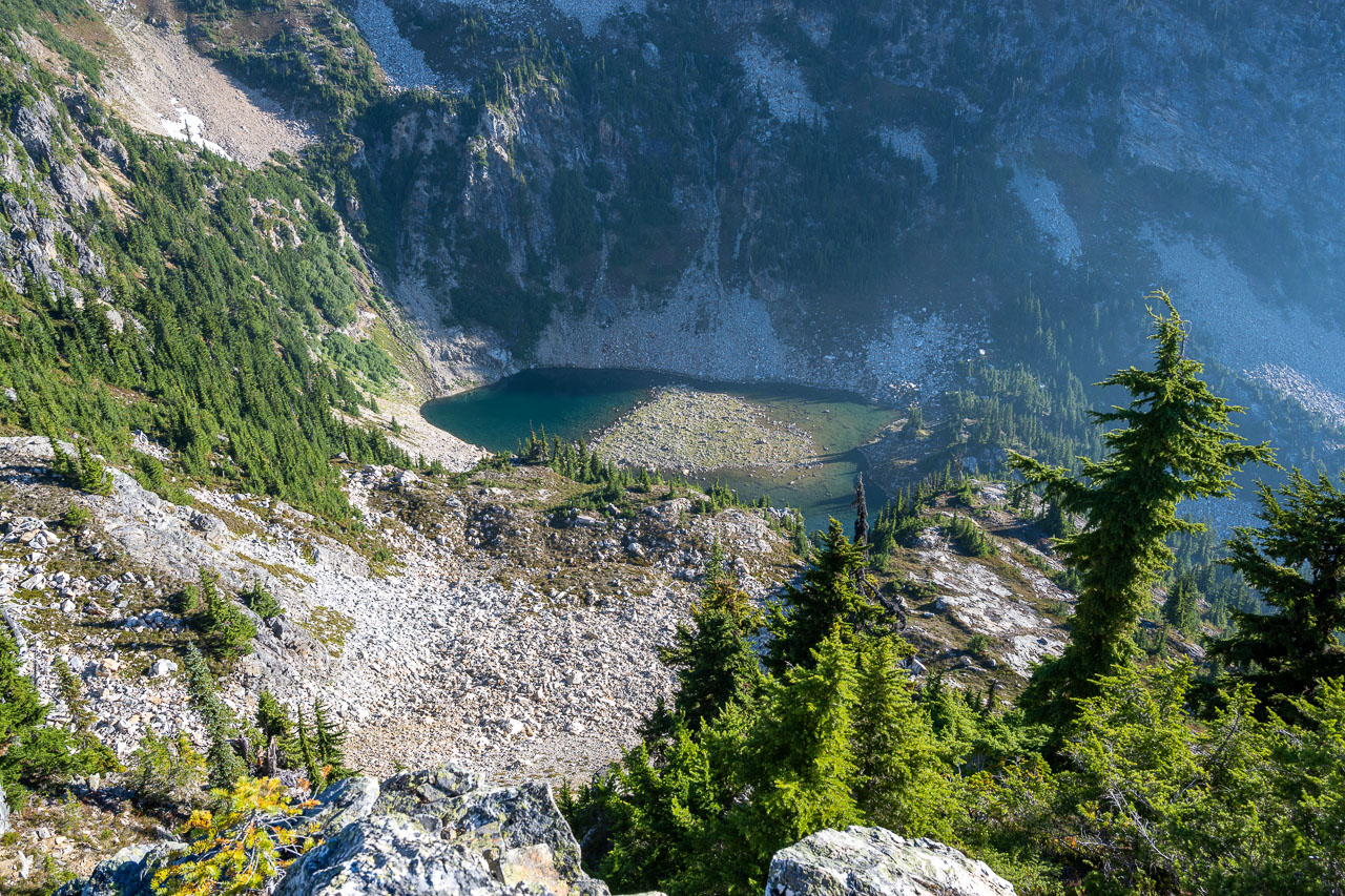
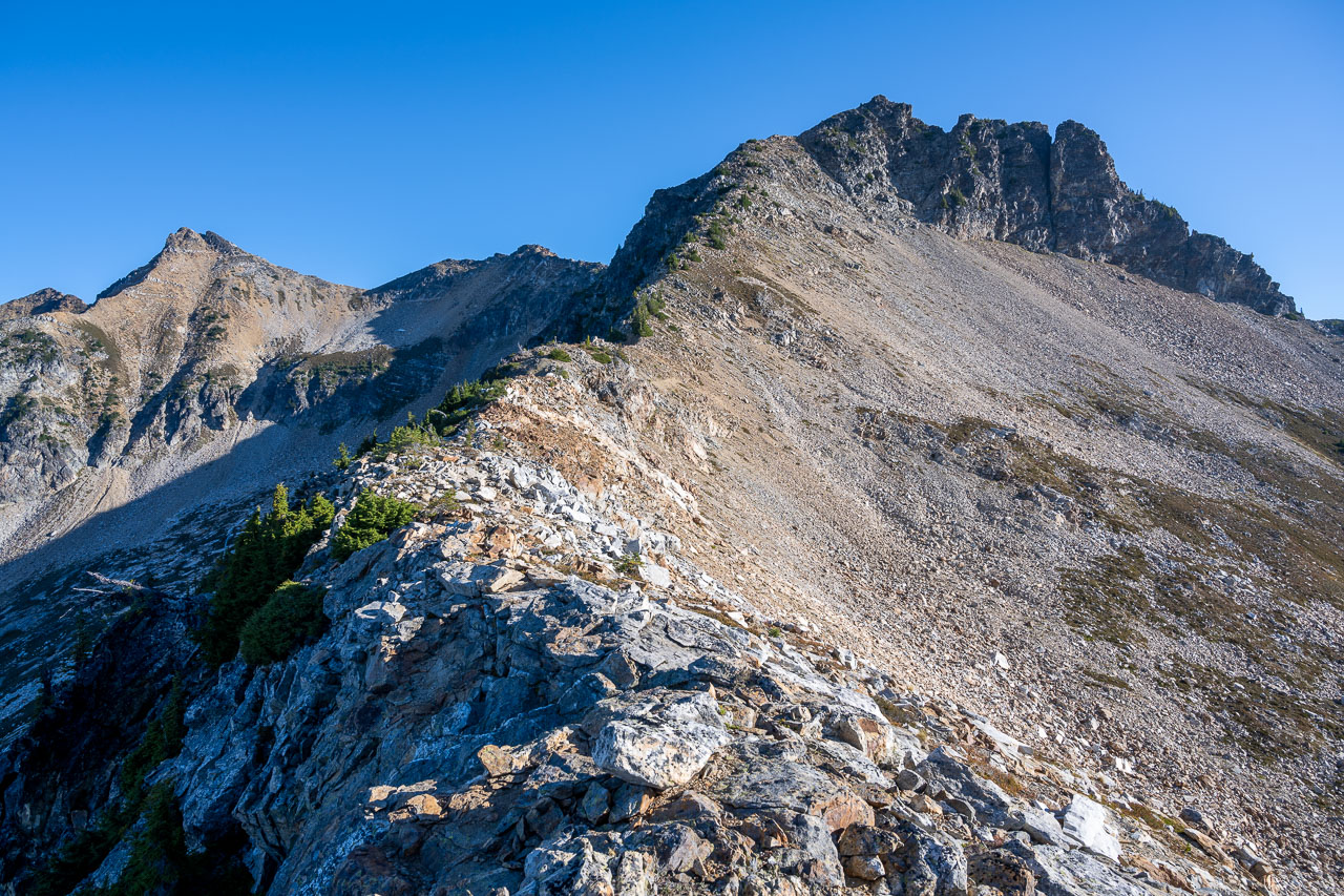
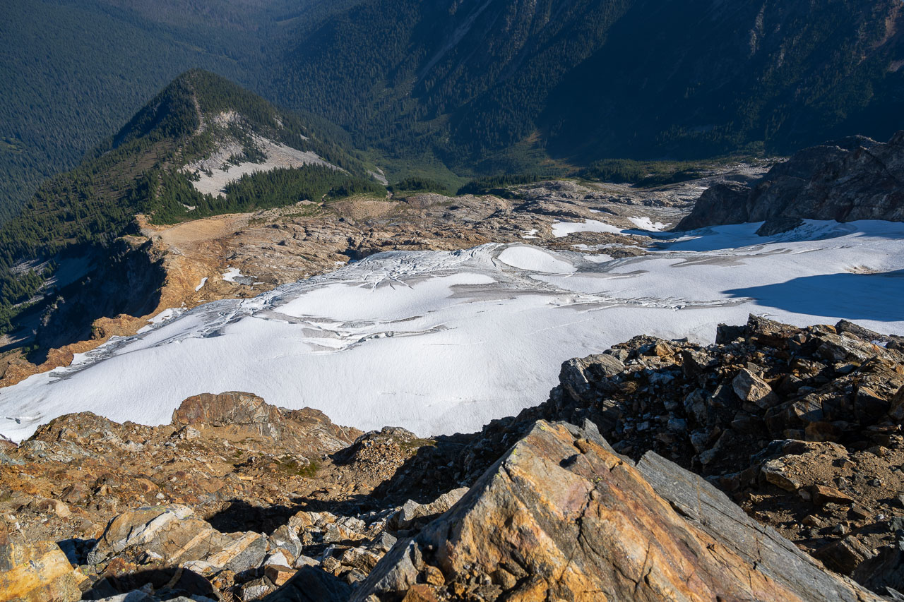
The traverse is pretty straightforward from the top of the upper chute. We crossed heather slopes on a gradually ascending traverse aiming for the low point in the ridge. There were some snowfields just before reaching the col, but they had melted out to the point that they could be easily avoided. From the col we could see both the Southern and Northern Pickets, which made for an incredible panorama. There were several nice campsites at the col, which would make a great spot to watch the sunrise. As we were enjoying the view, we were surprised to see another group coming up from the west. I talked with them for a little bit and found out they were doing a multi-day traverse from Perfect Pass. They had spent the night at Luna Lake and were intending to continue down Access Creek to complete the route. They were going to take a break at the col, so we started up the southwest ridge.
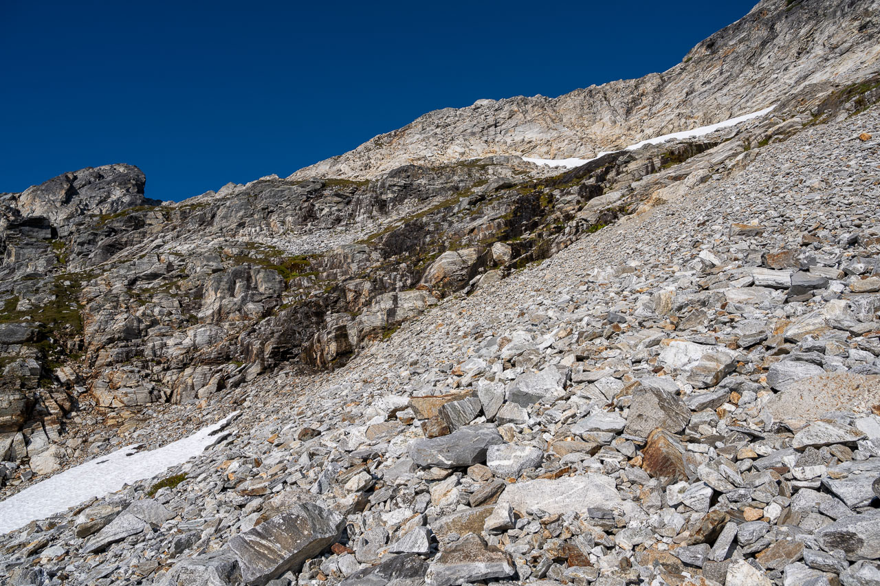
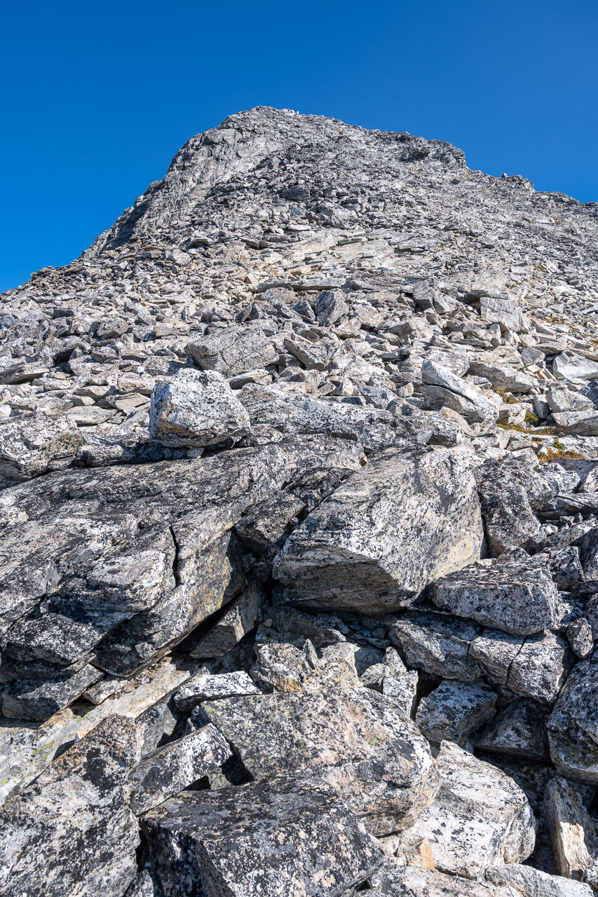
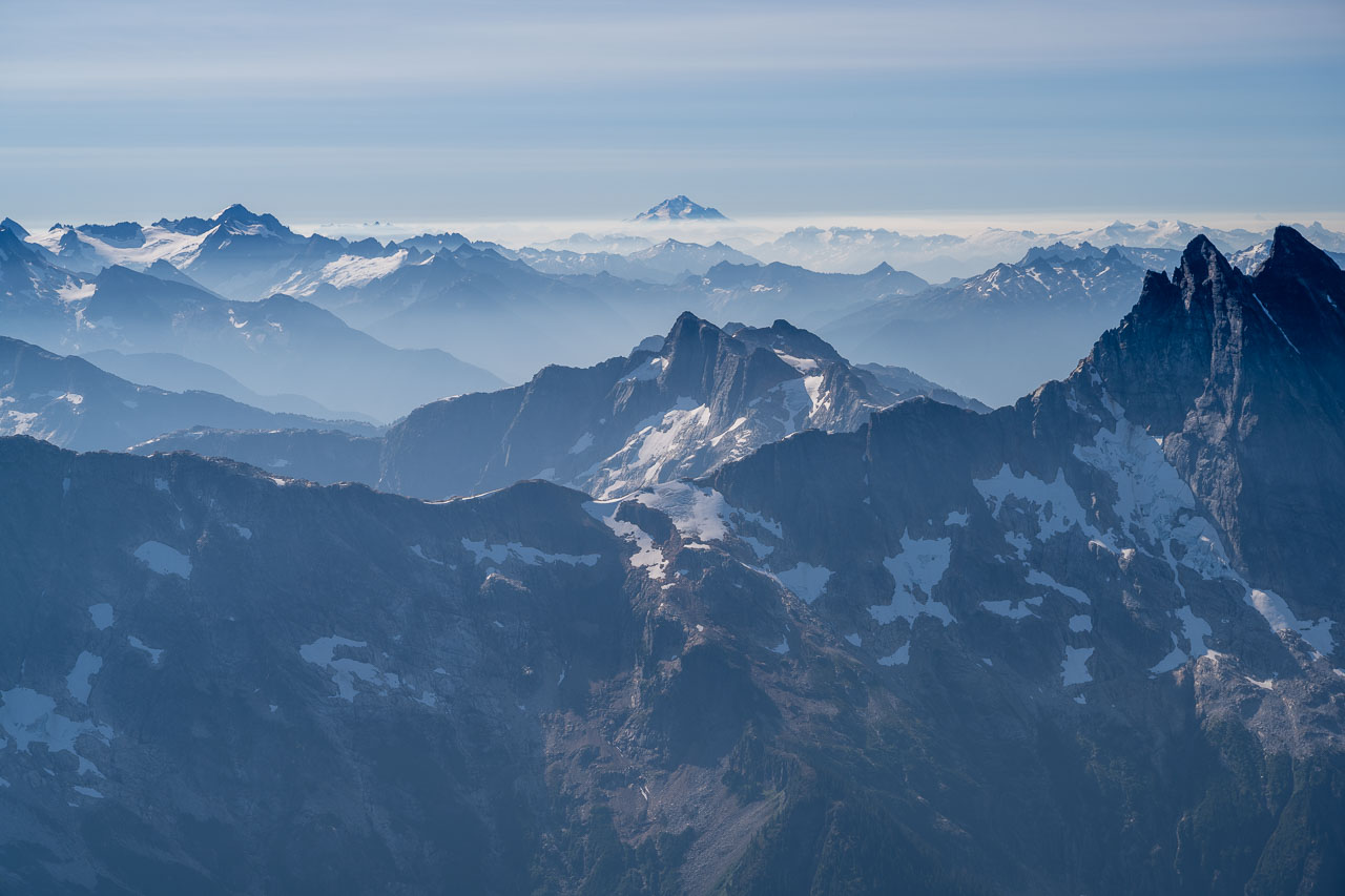
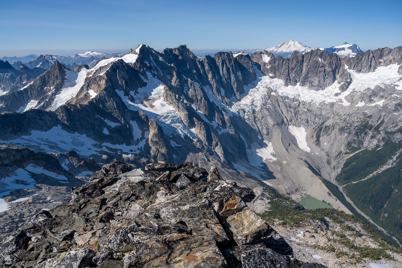
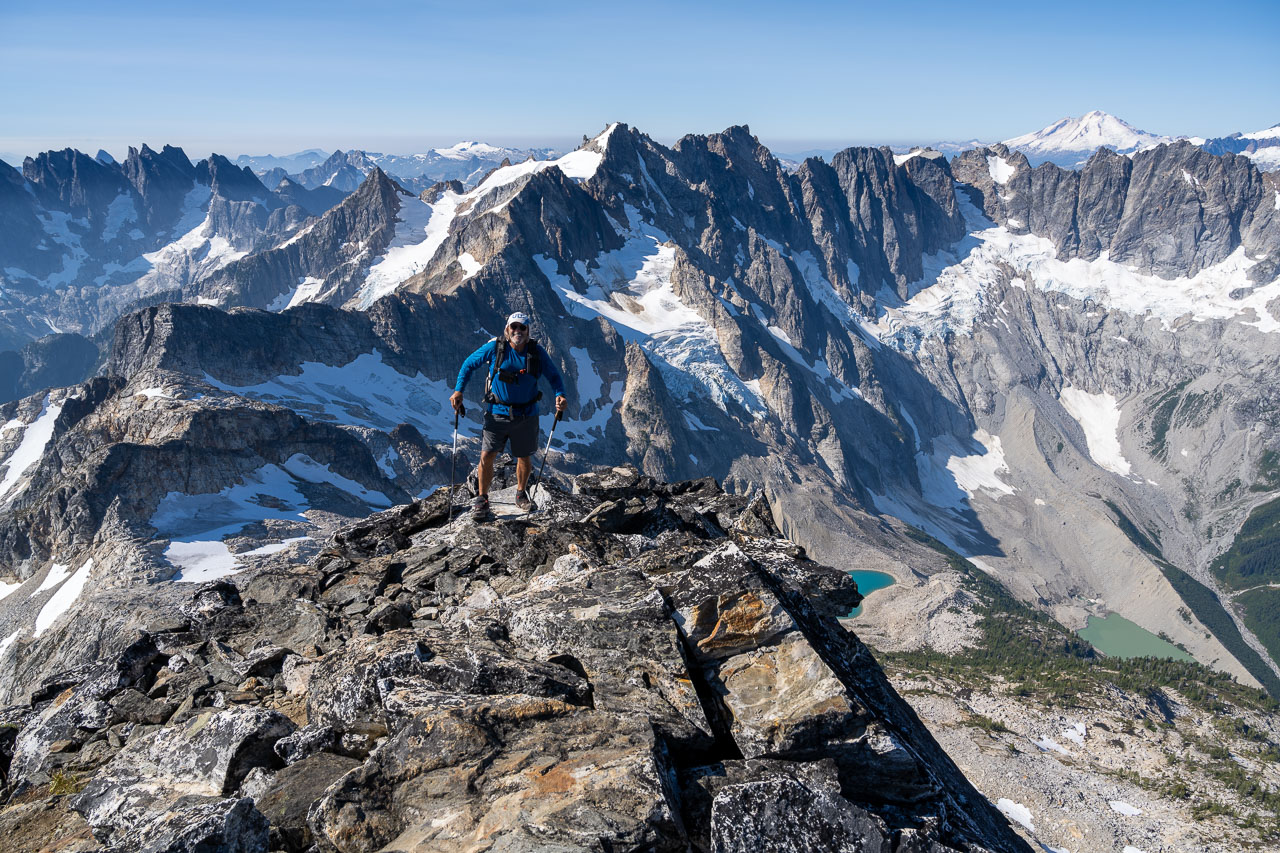
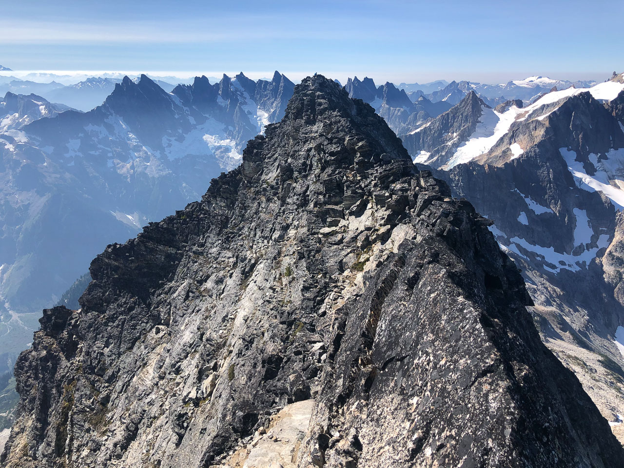
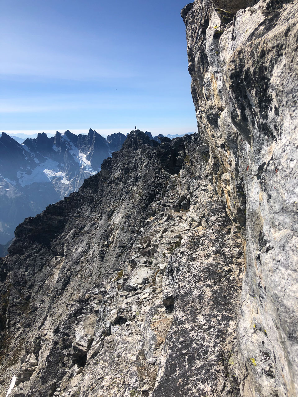
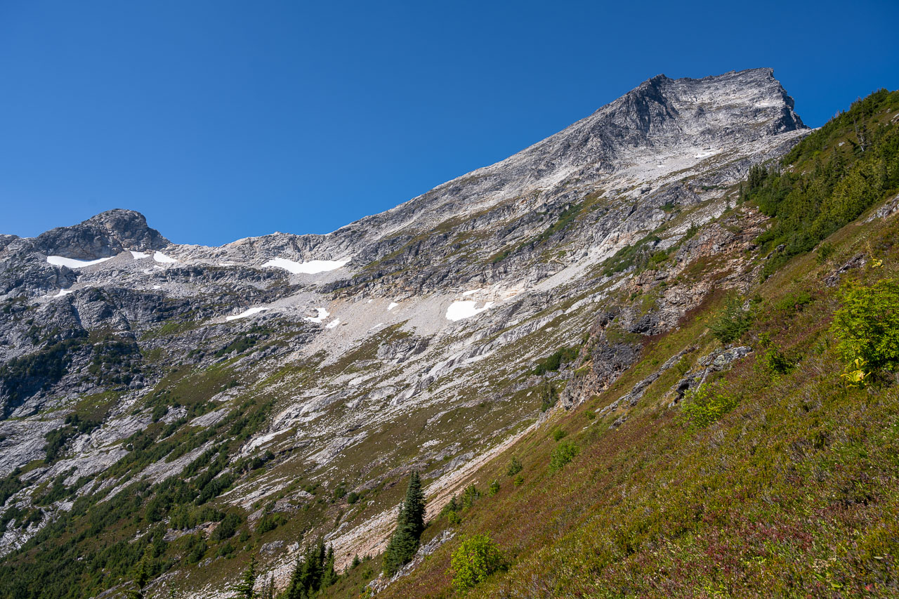
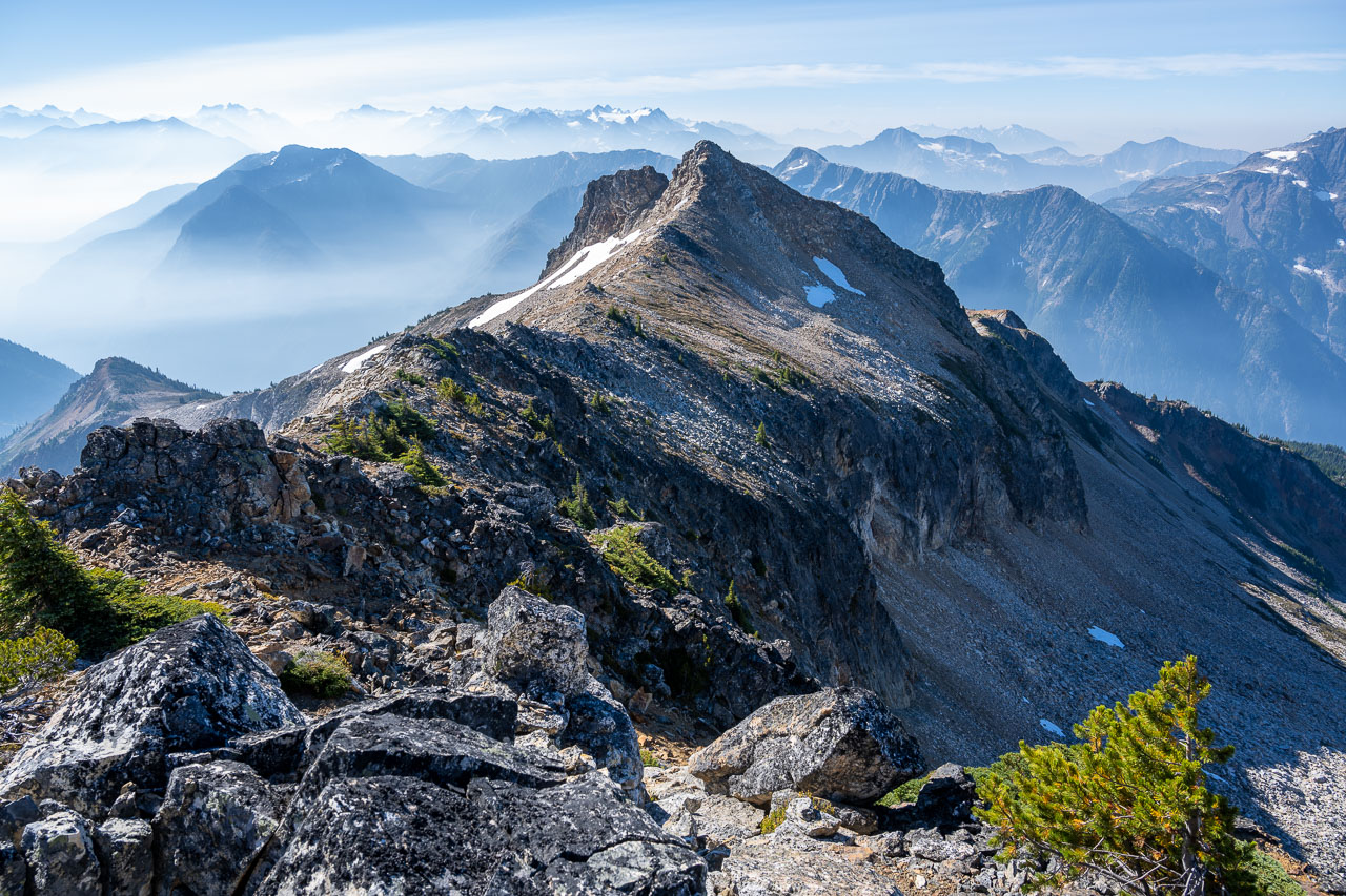
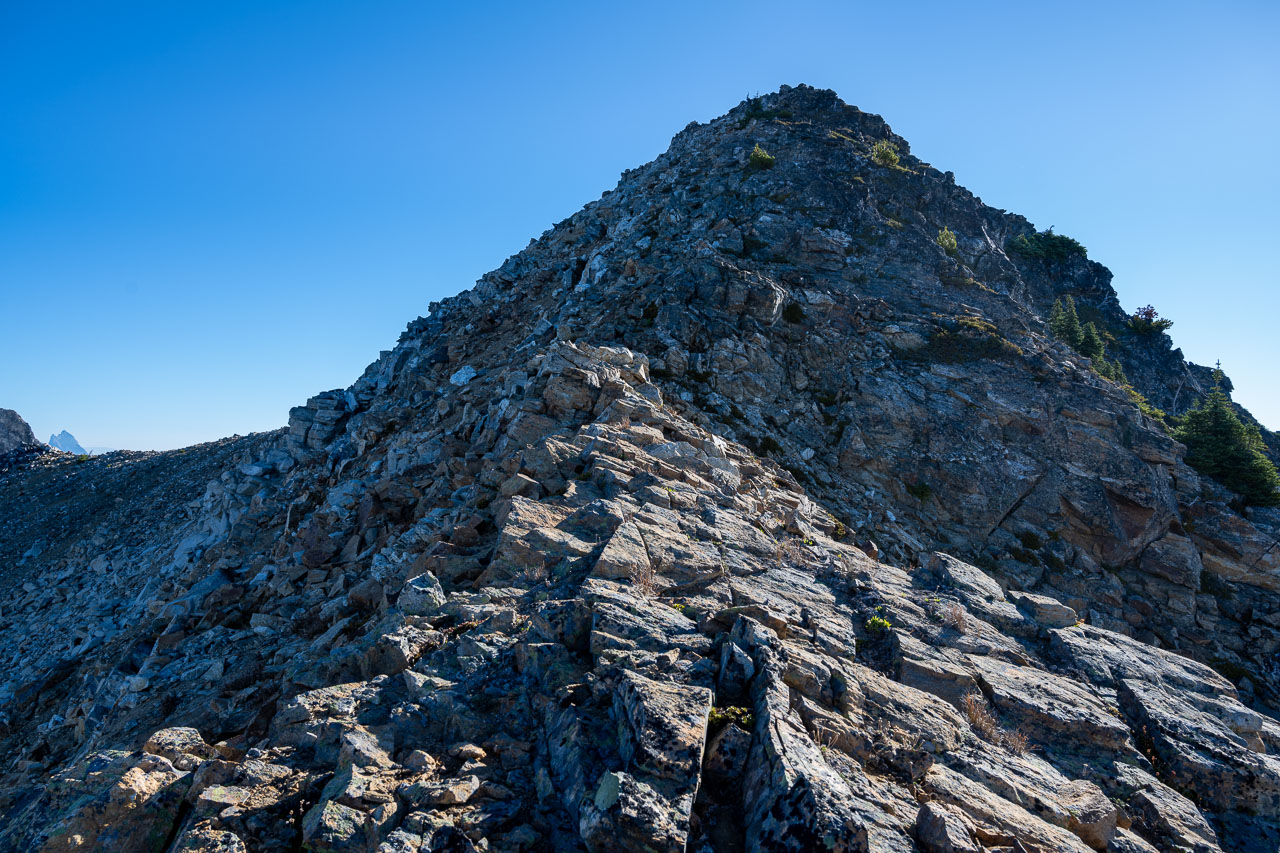
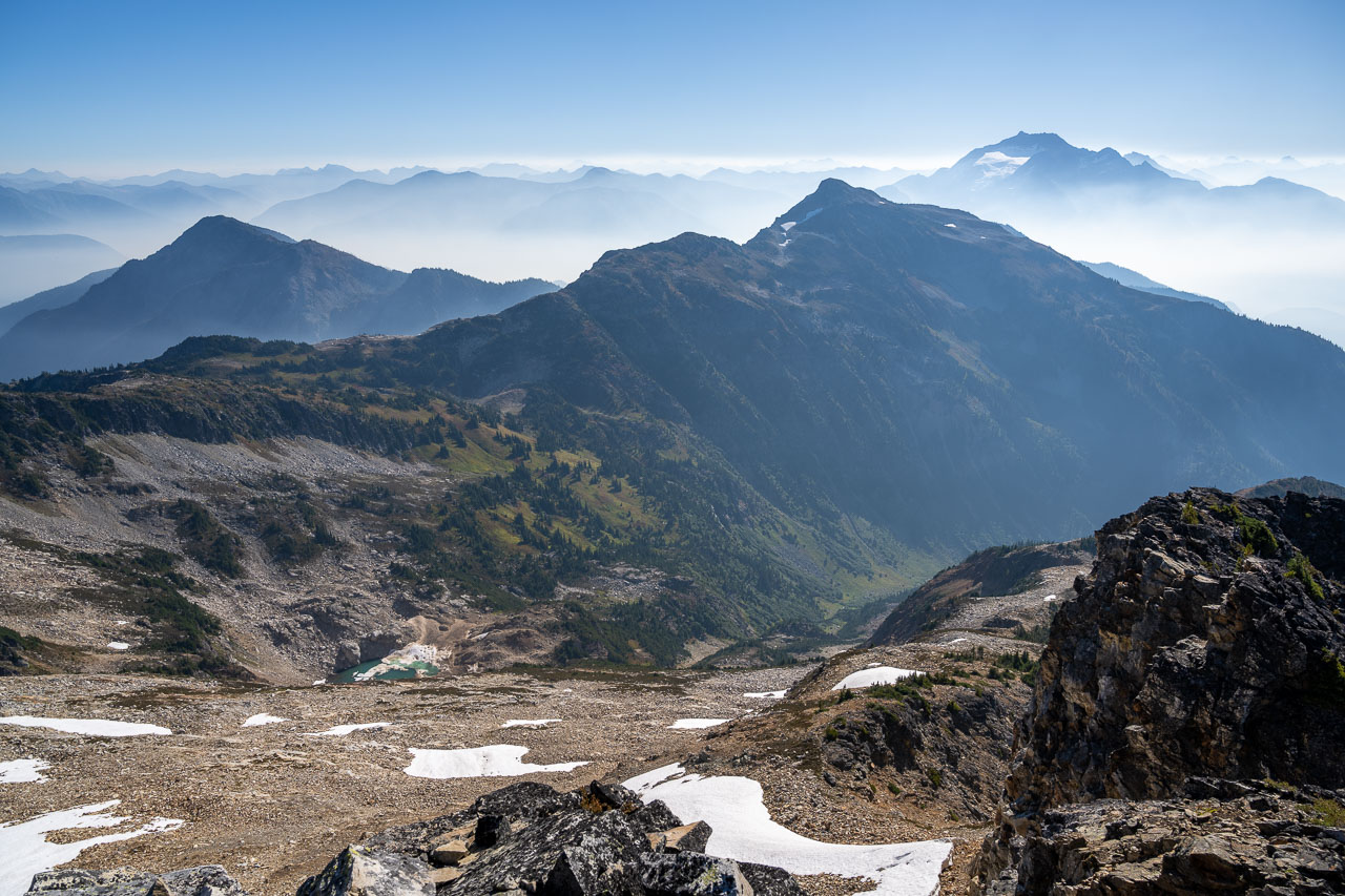
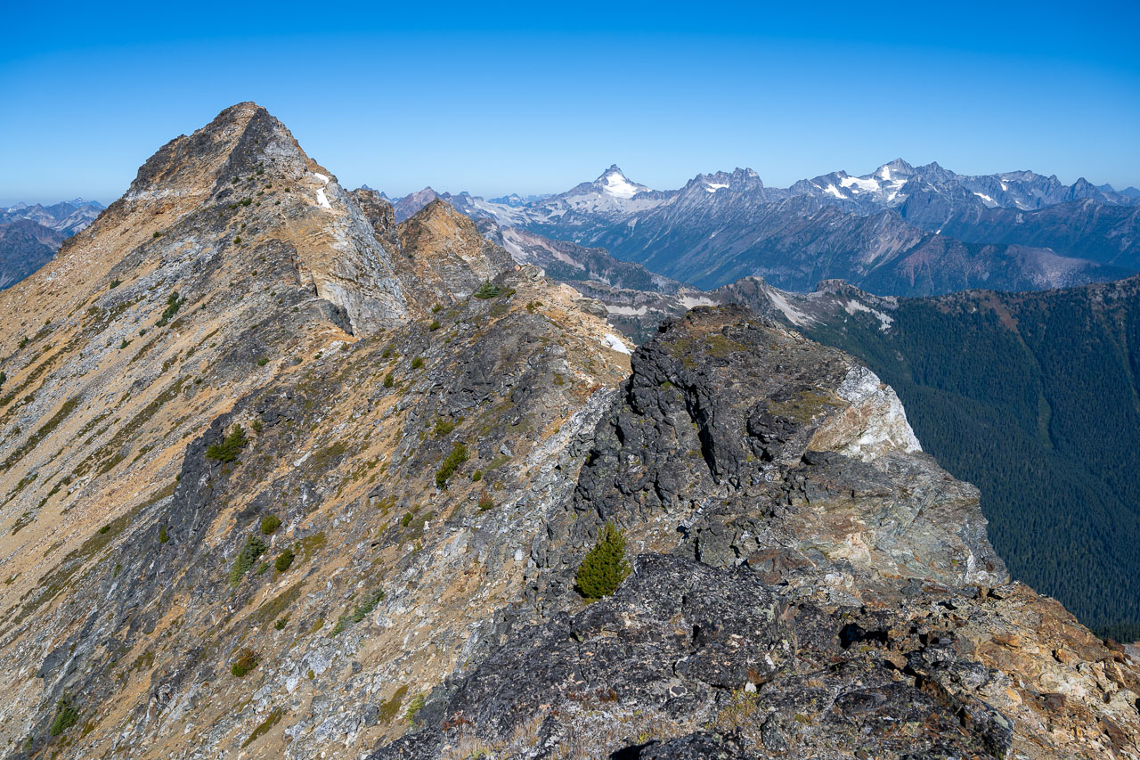
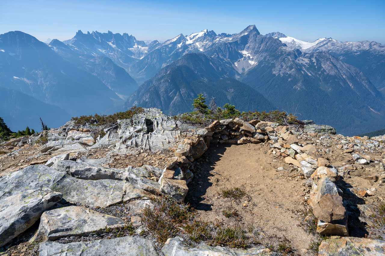
From the col, Luna Peak looked far less intimidating than it had from our campsite. A mostly Class 2 slope led up to the false summit. The view from the top was amazing, and I can understand why this is considered one of the best views in the state. This was my first trip to the North Cascades, so there were a huge number of unfamiliar peaks in all directions. It was only after I got home that I was able to identify some of them on a map. We took a long break on the false summit to enjoy the view. There was even enough cell service for a FaceTime call back home.
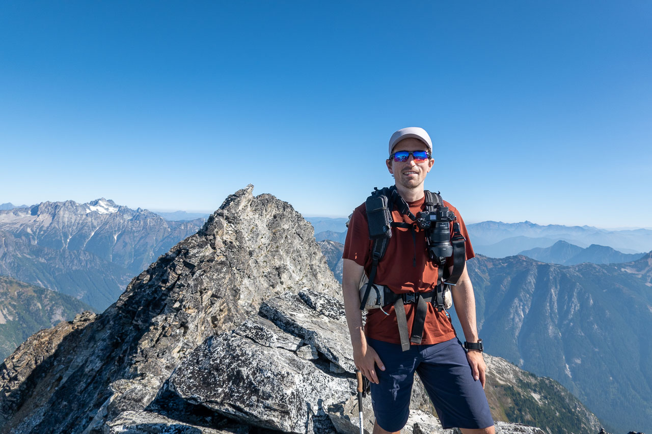
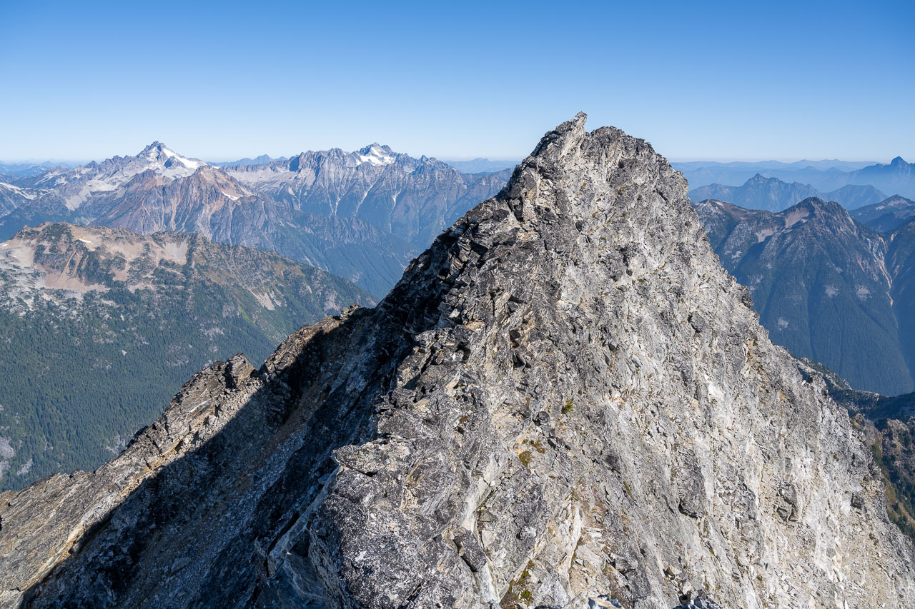
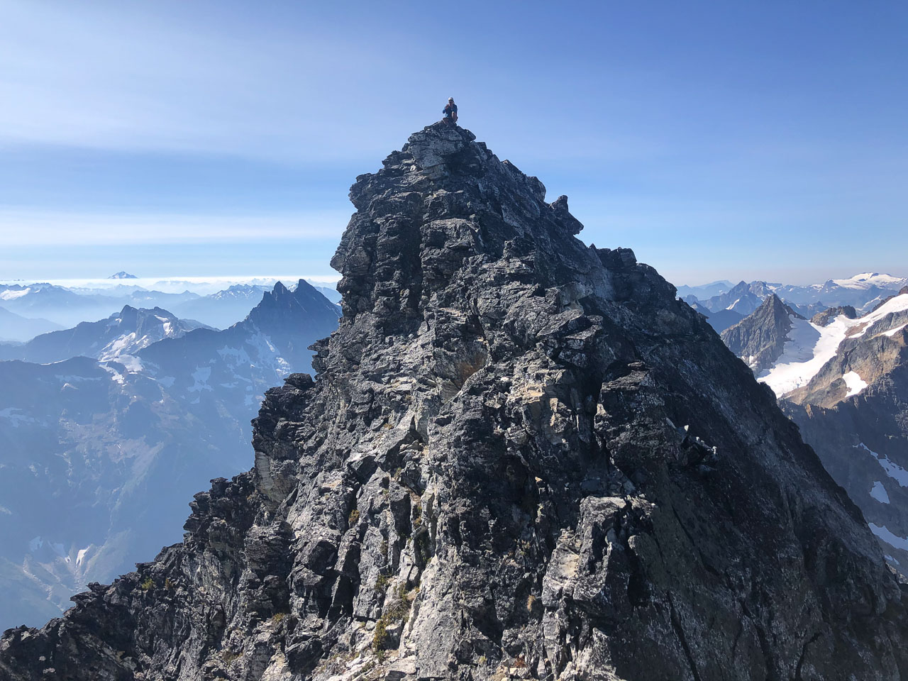
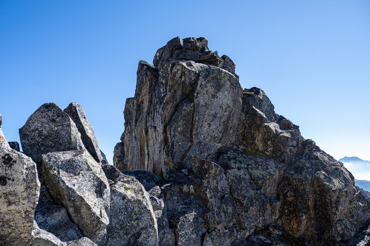
The true summit is separated from the false summit by 500ft of Class 4 ridgeline, however a good chunk of this can be avoided by following a ledge on the east side of the ridge. After a short downclimb from the false summit I made my way onto the ledge and found it was mostly Class 3 over to the true summit. The easiest way up the summit block is on the north side. I signed into one of the last remaining spots in the summit register then retraced my route back to where Bill was waiting. From there we followed the same route back to our tents.
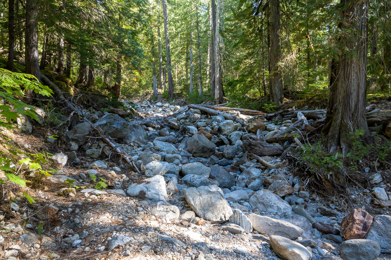
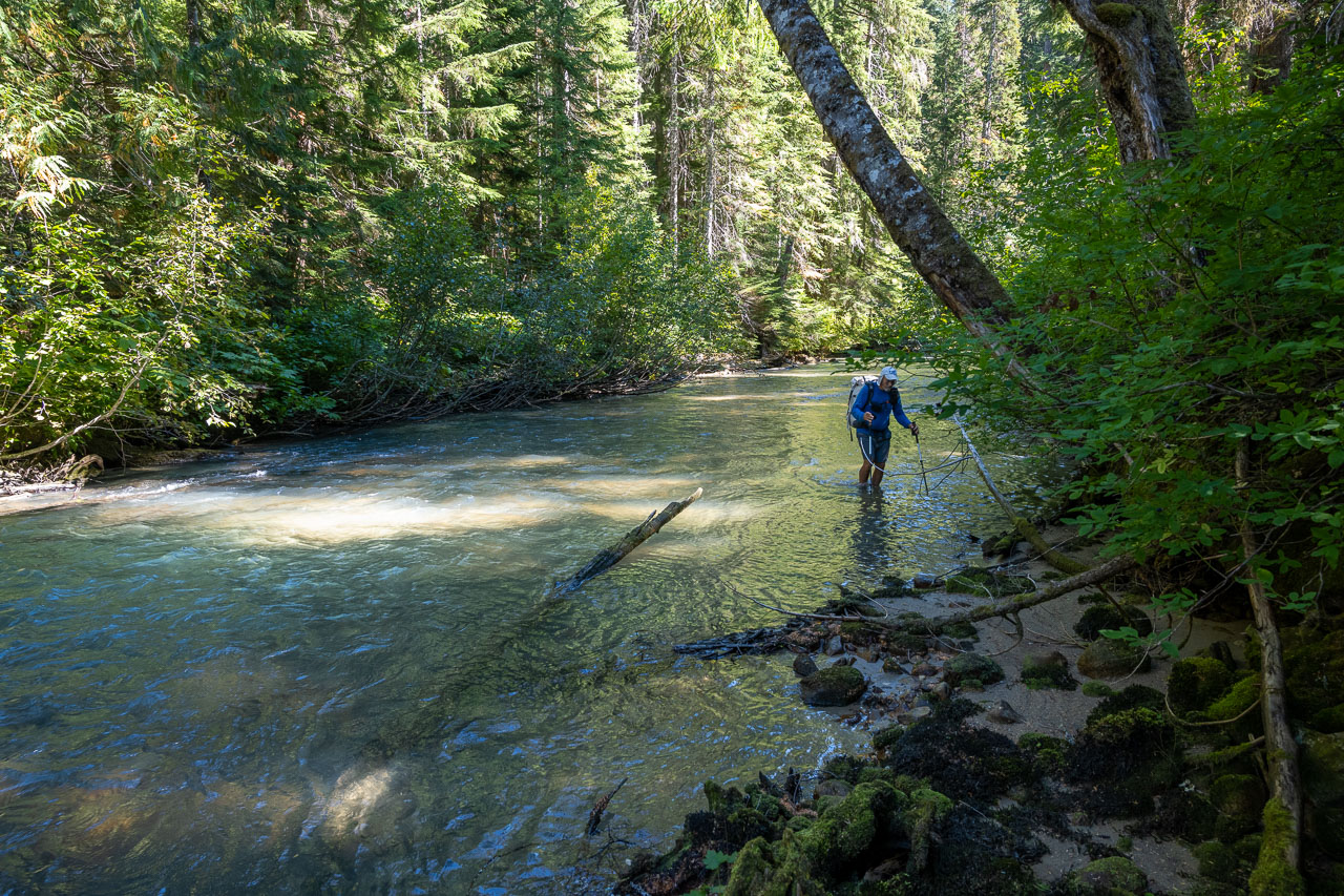
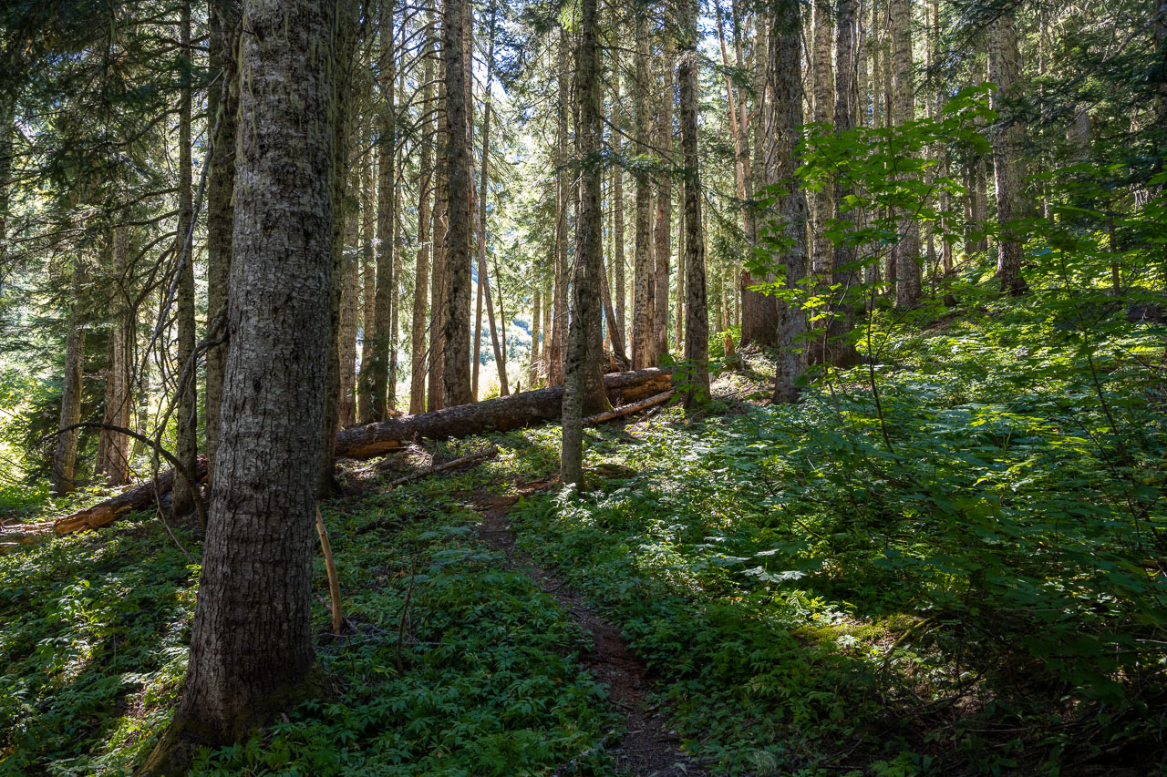
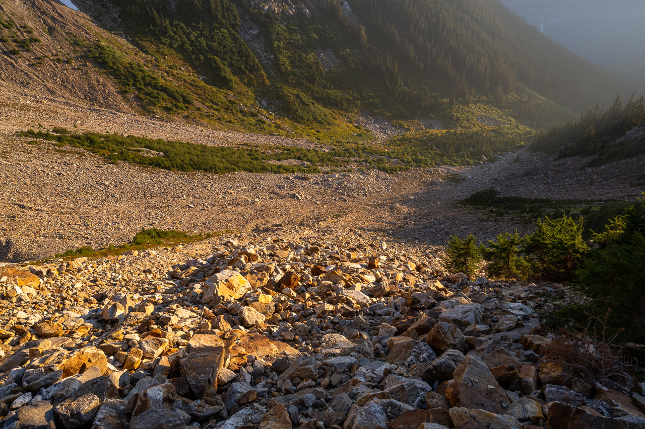
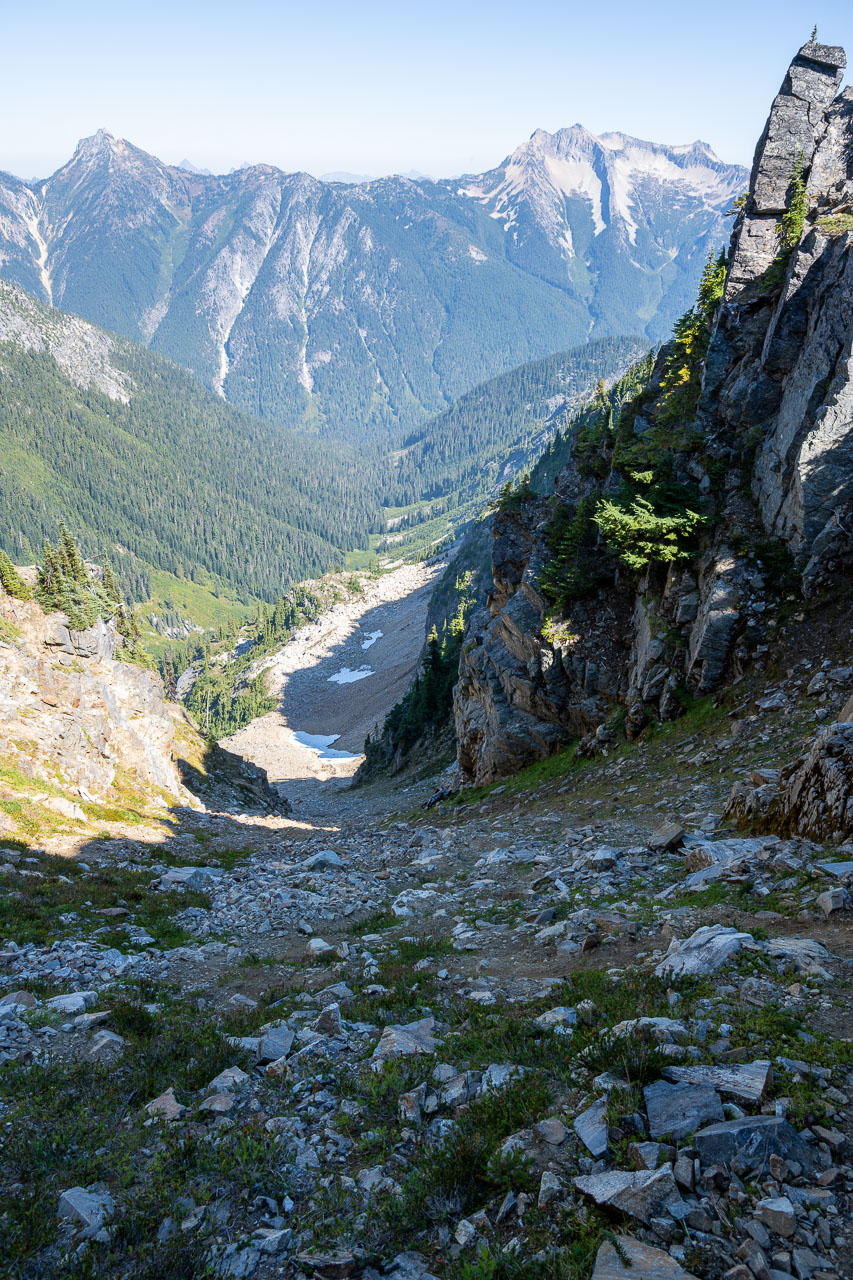
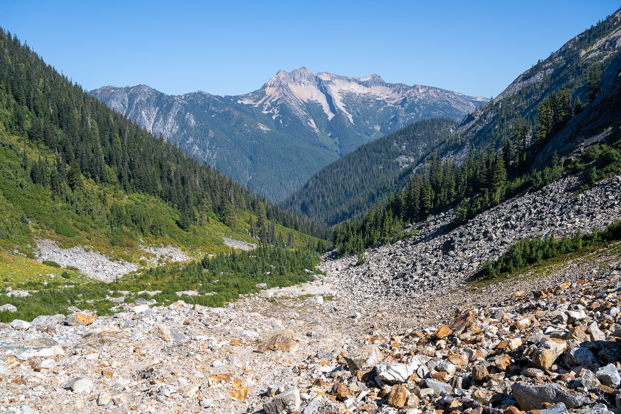
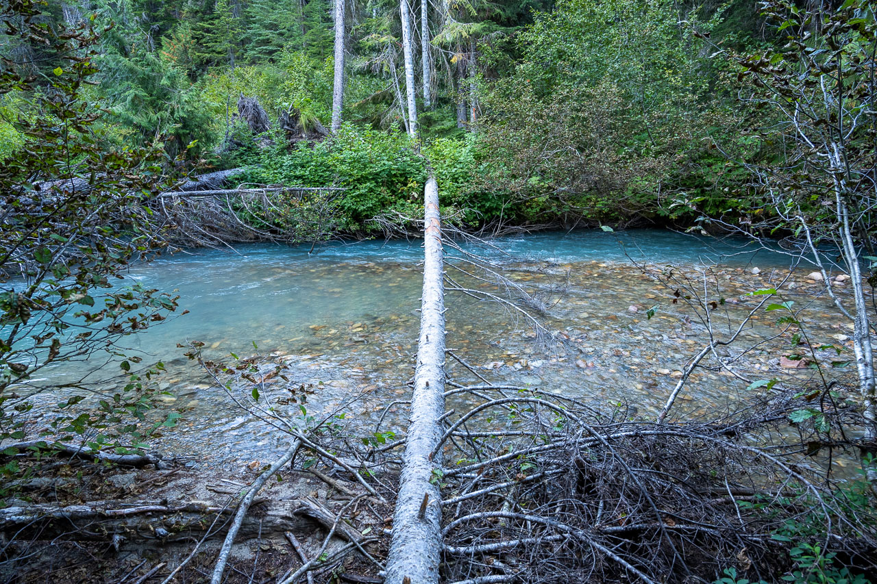
It was mid-afternoon by the time we got back to the tents. We quickly packed up and were soon heading back down Access Creek. I was planning to climb Mount Prophet the following day, so to make the approach more reasonable we were moving to one of the designated campsites at Thirtynine Mile Creek. We did a better job of following the orange flagging on the way down which eventually led us back to Big Beaver Creek. The flagging ended at a large log jam, but the logs no longer bridged across the creek. The log jam looked familiar from pictures I had seen online, so it must have washed out in the last couple seasons. We started following the creek downstream and found a new log crossing after a few hundred feet. The map link includes the location of the old and new log crossing.
Once we were back on the trail it was a five mile hike down to Thirtynine Mile Camp. The only excitement came when I almost stepped on a large toad in the middle of the trail. From our hike in the previous day, we knew that the creek near camp wasn’t flowing, so we got water from a small side creek about a mile before reaching camp. As I would find out the following day, Thirtynine Mile Creek does have good flow, but you have to walk up the creek a quarter mile to find it. This late in the season, the creek flows underground near the campsite.


14.0 Miles, 6600 Gain
Mount Prophet is a P4K, which makes it one of only 148 peaks in the contiguous United States that have at least 4,000 feet of prominence. This is a list that I have become more interested in completing over the last couple years, so I was glad to be able to include it on the same trip as Luna Peak. Bill wanted to take it easy after doing Luna the previous day, so I got an early start in order to get back at a reasonable hour.
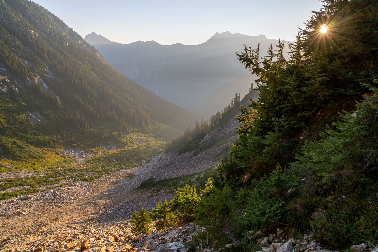
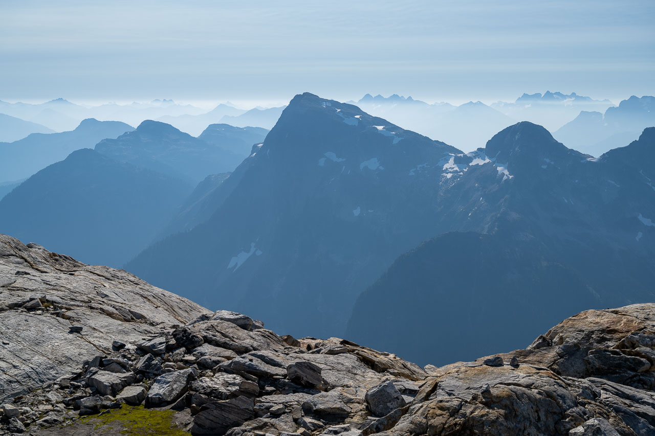
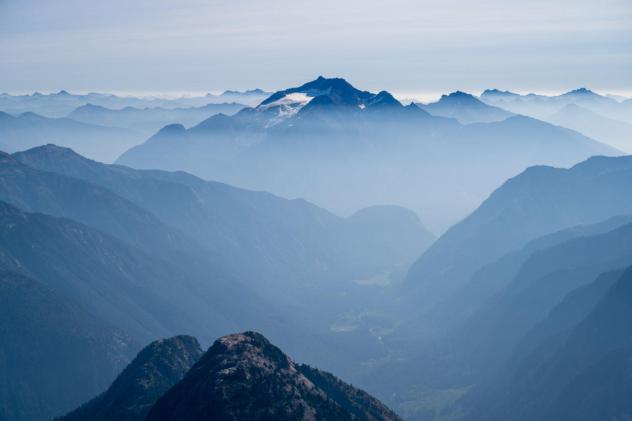
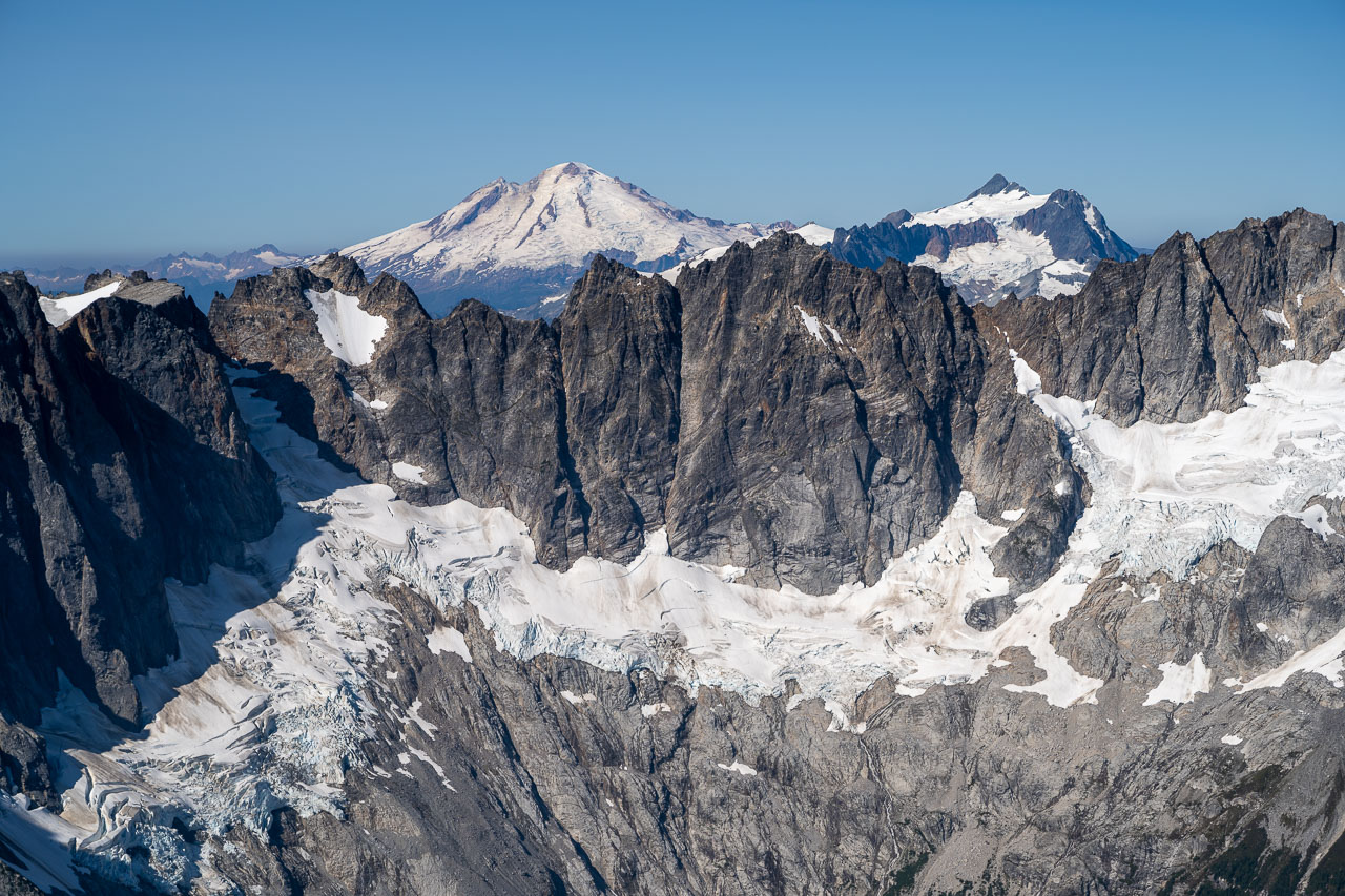
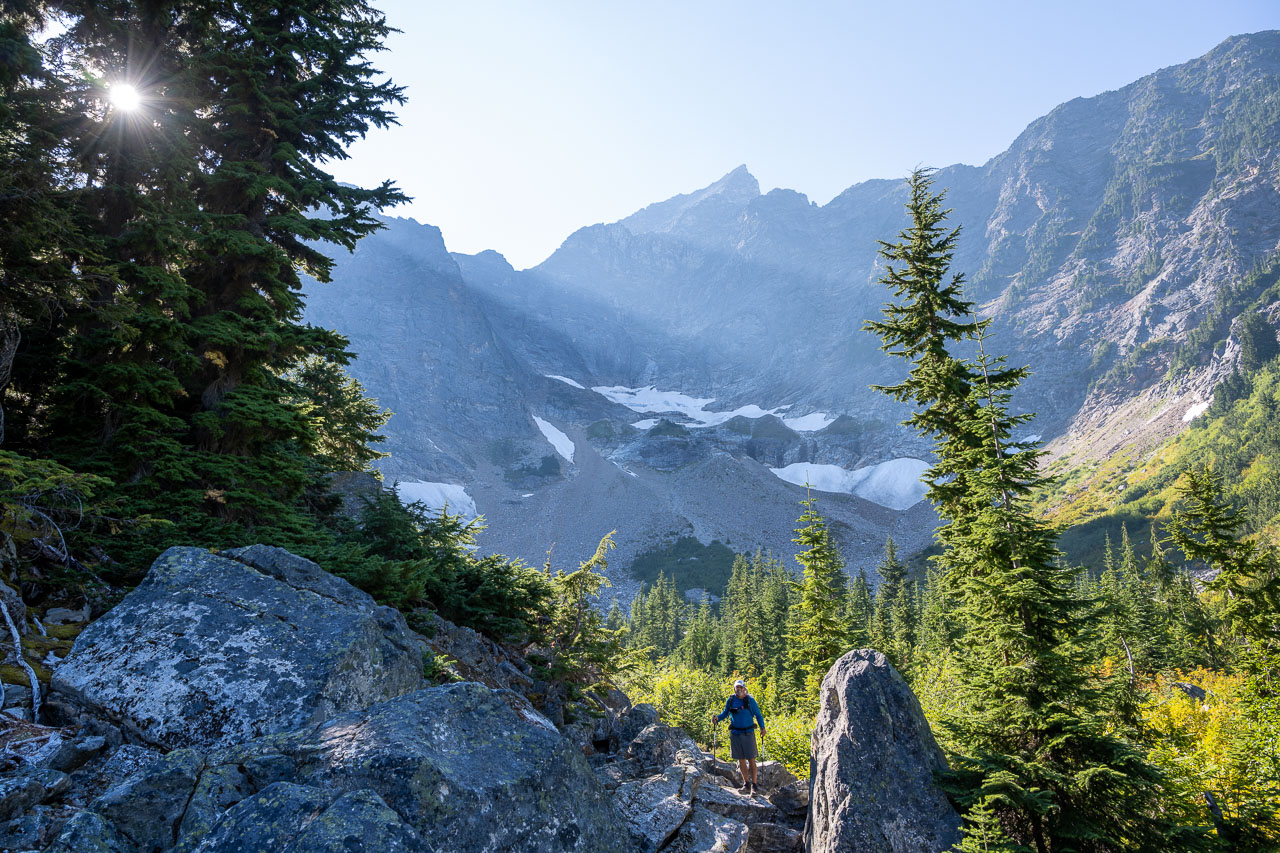
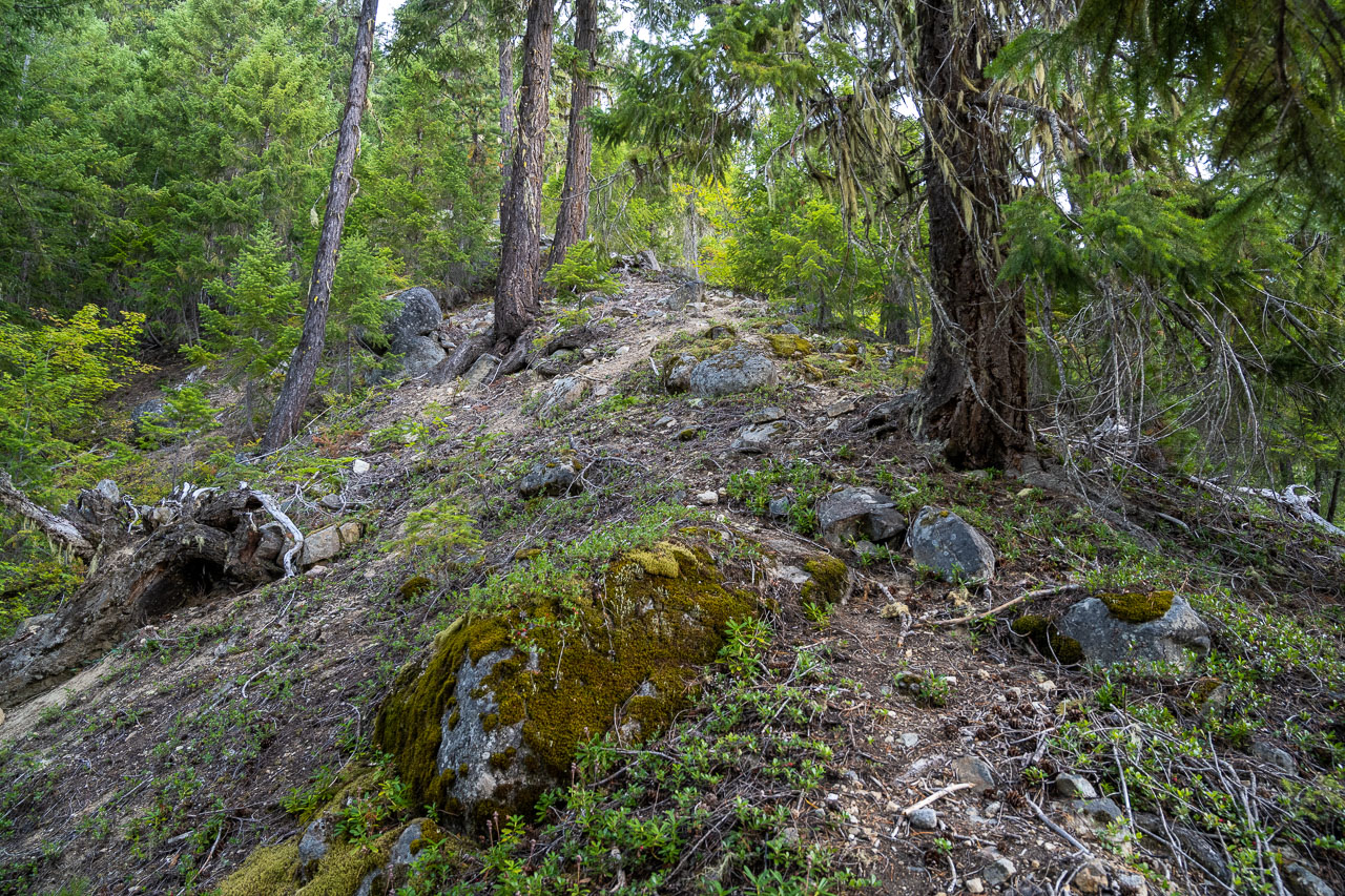
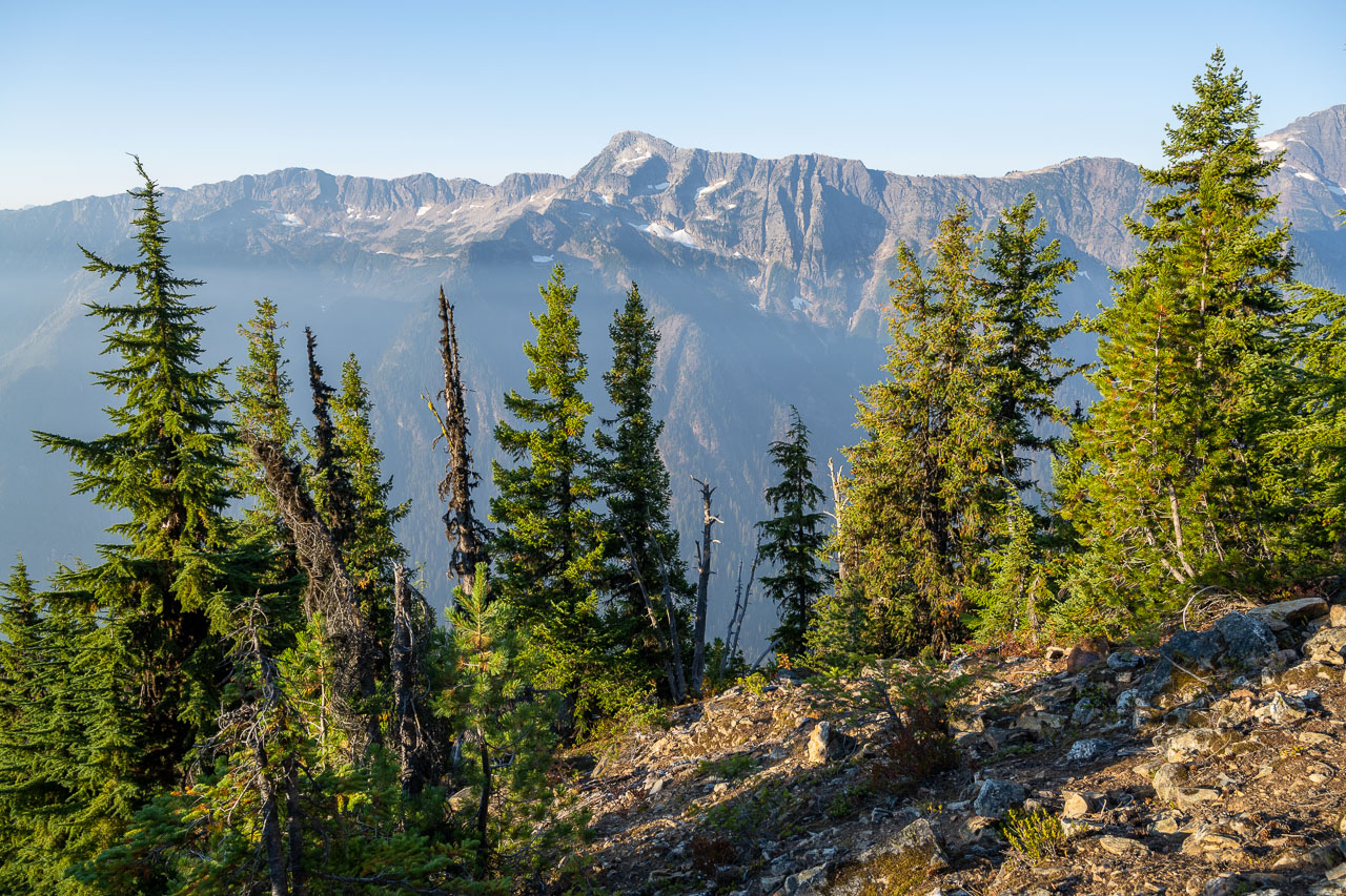
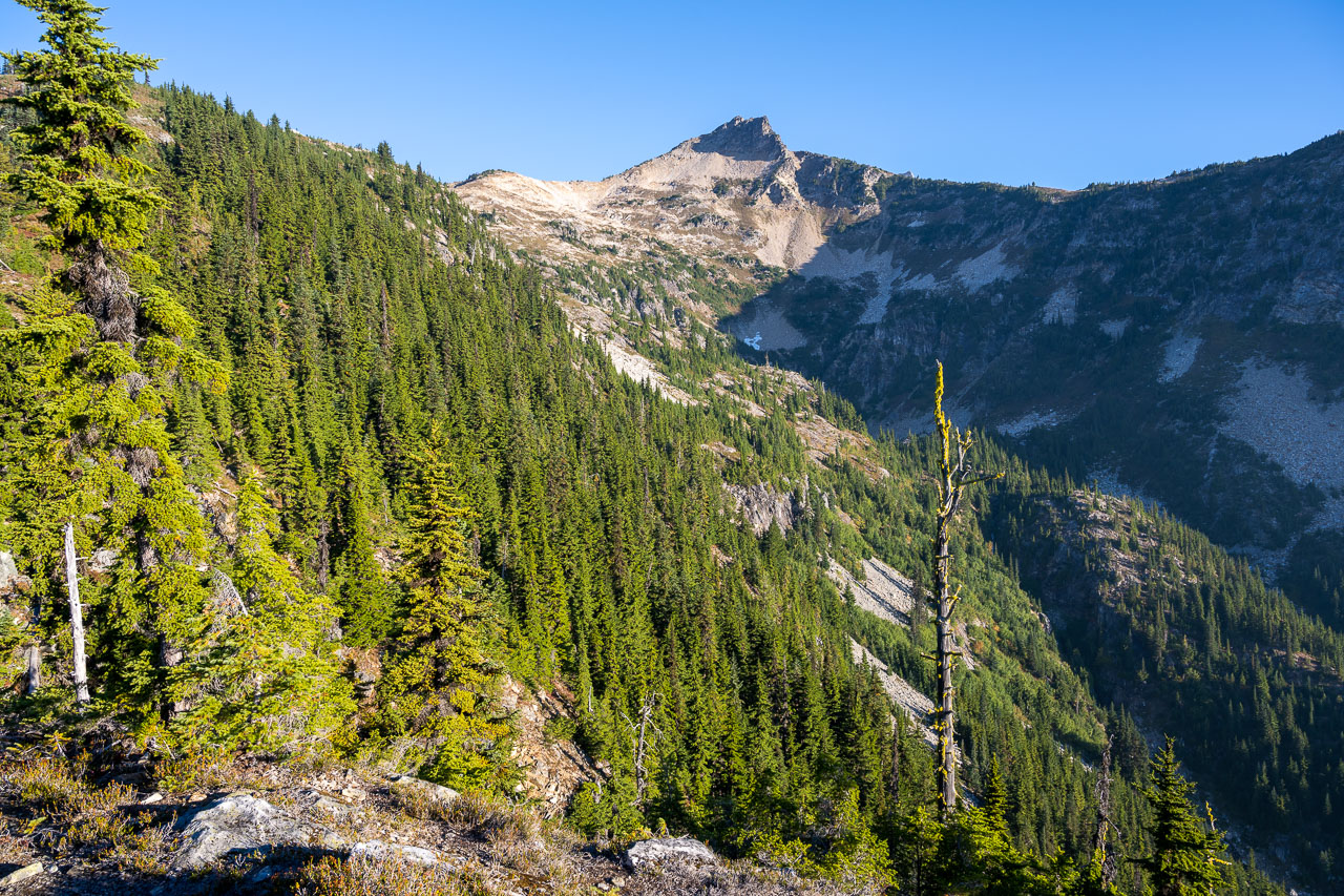
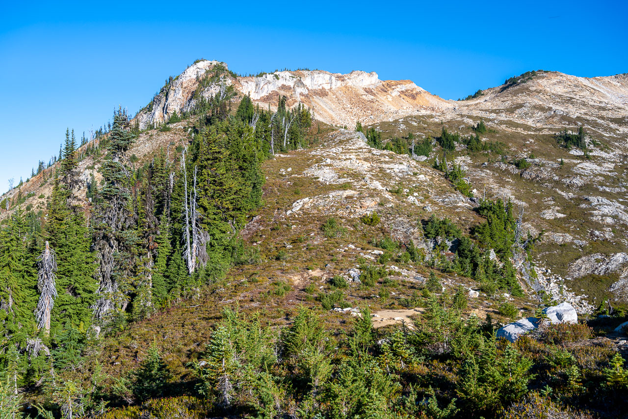
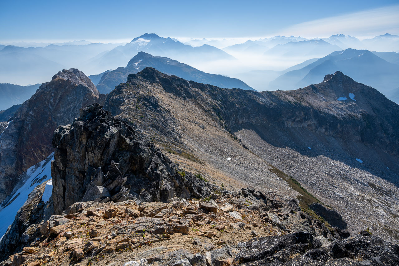
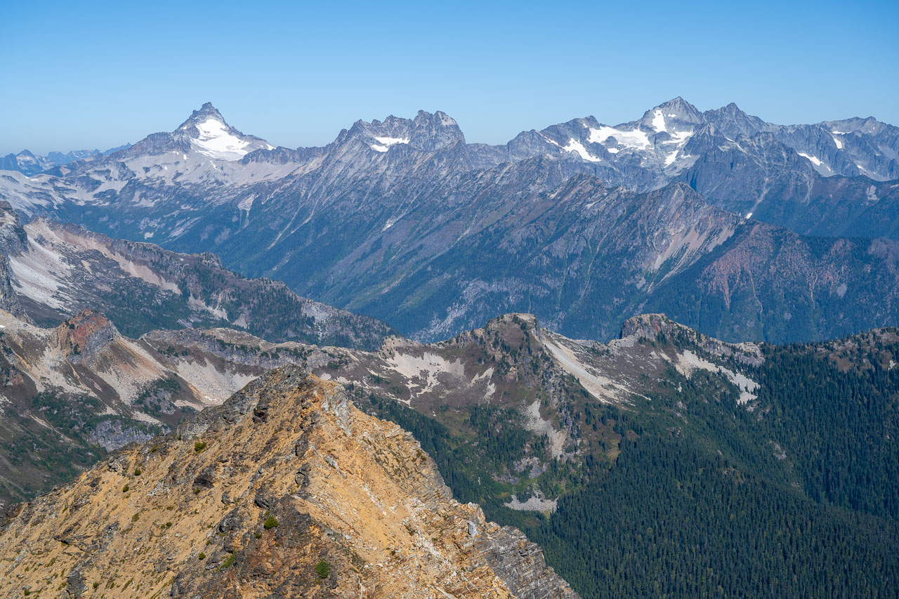
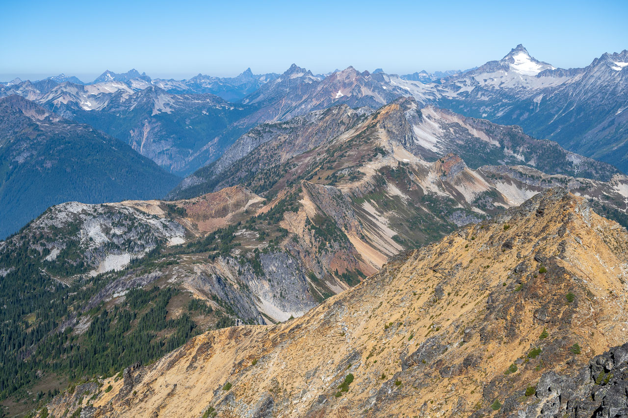
I set my alarm early and started hiking up the ridge adjacent to Thirtynine Mile Creek just as it was starting to get light. The route went steeply at first, gaining over 3,000ft in about 1.5 miles, but thankfully the forest was mostly open and there was very little bushwhacking required. Higher up, the slope eased off and there was some pleasant travel on an open ridgeline with good views to the Pickets and the remote McMillan Creek drainage. I could see smoke building to south around Jack Mountain, but conditions were still mostly clear around Mount Prophet. I figured I would probably get cell service at the summit, so I was planning to check the smoke forecast.
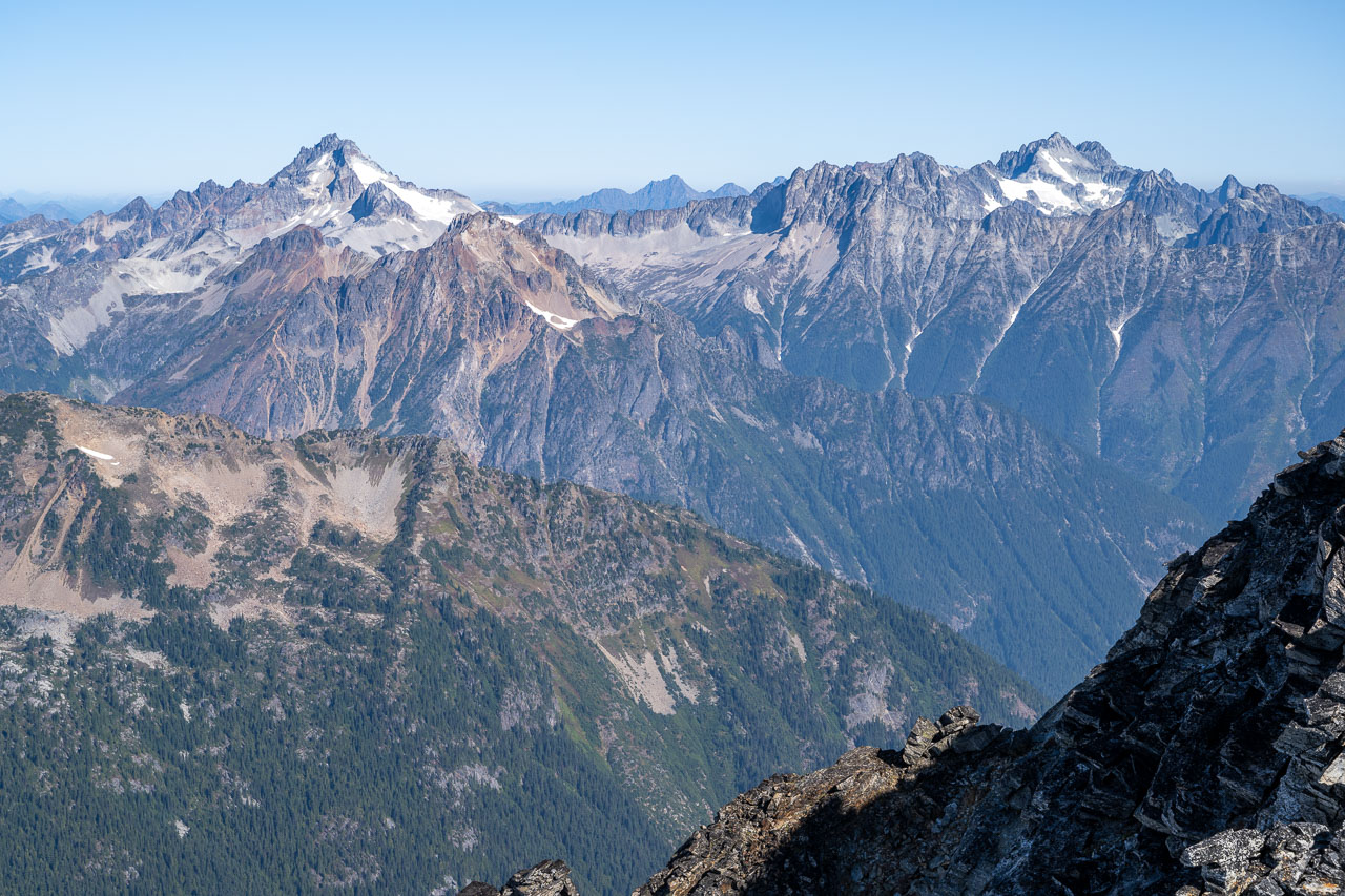
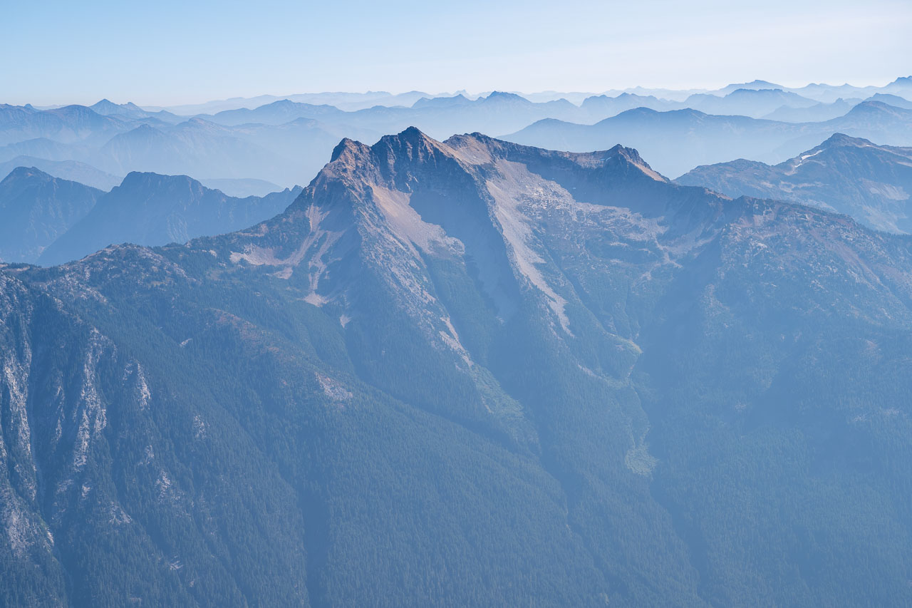
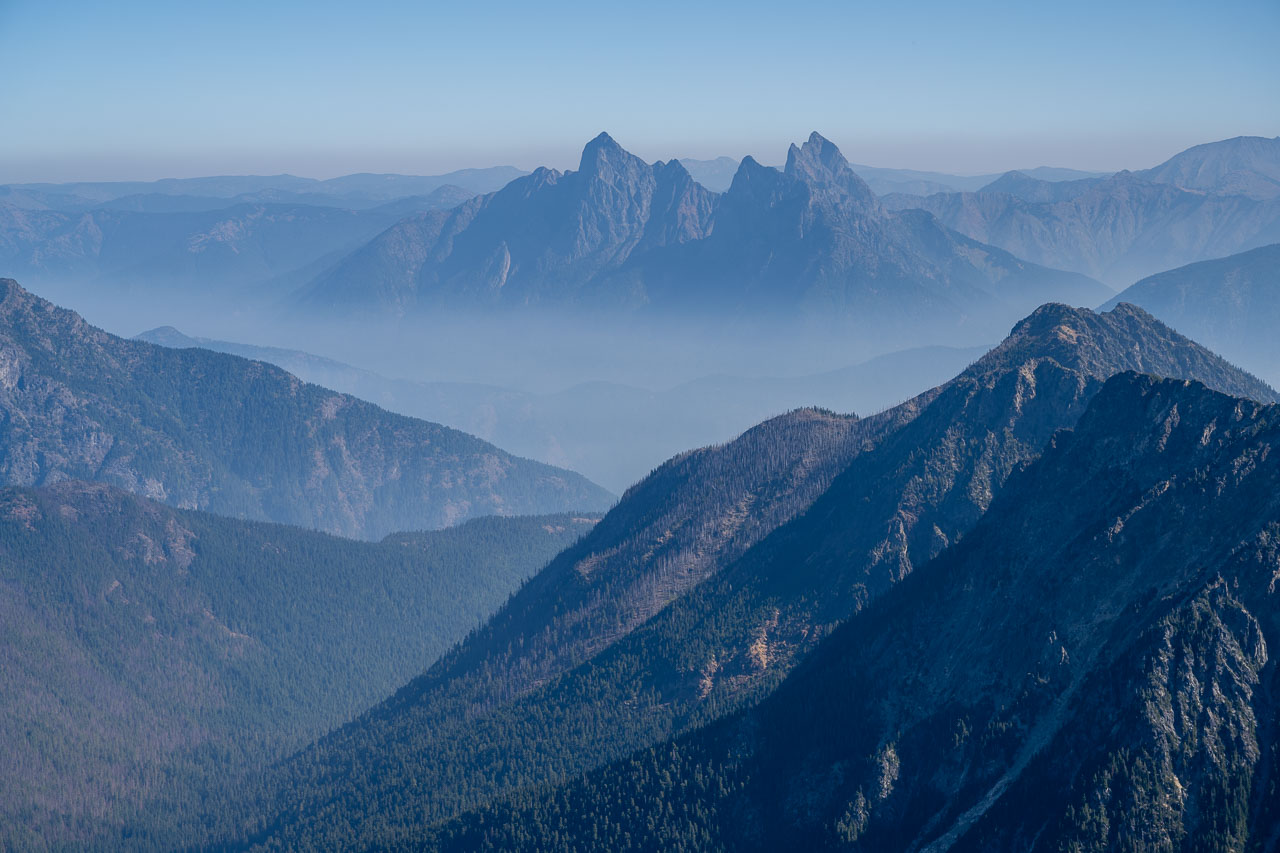
I passed over a few sub-summits on my way along the ridge. The route was mostly Class 2 with a few short sections of Class 3. The trickiest section was a steep downclimb just before reaching the summit, although that could have been bypassed on the south side of the ridge. There was a great view from the top that included all of the major peaks in the Pickets. There were also some impressive peaks to the north and northeast, which I later identified as Mount Redoubt, Mox Peaks, Mount Spickard, and Hozomoeen Mountain. The south summit of Hozomeen Mountain in particular looked impossibly steep from this perspective.
I had cell service on the summit, so I checked the smoke forecast. Unfortunately, I found multiple stories about a looming “super-massive smoke plume” that was getting ready to sweep across the entire state. Apparently all the smoke from the fires in California and Oregon had been pooling off the coast and would soon get blown on shore. The air quality was expected to remain poor for the remainder of the trip and beyond. Our original plan was to head down to the Enchantments to do some hikes in that area, but it now appeared like there would be nowhere in the state that we could escape the smoke. Somewhat dejected, I retraced my route back down the ridge.
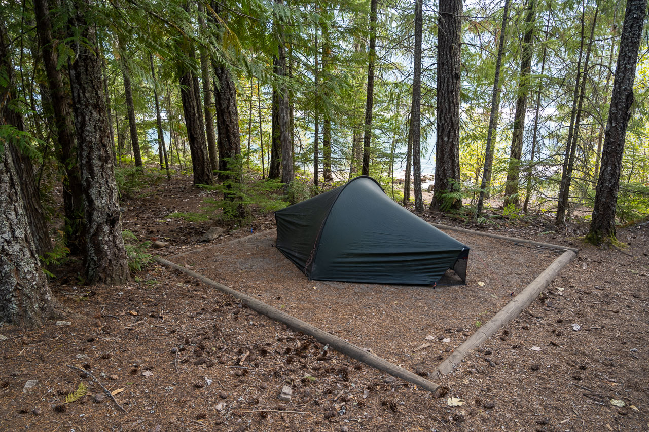
I found my dad relaxing in camp when I got back. Apparently he had an enjoyable morning relaxing around camp. He had slept in then hiked down to Big Beaver Creek and found a nice beach to relax. It was still relatively early in the afternoon, so I was hoping we might be able to catch the water taxi out that evening. The last available boat ride out was at 5PM, but to get picked up we would need to be there when another group got dropped off. It seemed like a long shot, but if nothing else we still had a campground reservation at Big Beaver and the water taxi was scheduled to pick us up the next morning at 8AM. The smoke gradually increased as we made our way back down the trail. We got to campground in time to get picked up, but it turned out that no one else got dropped off that afternoon.
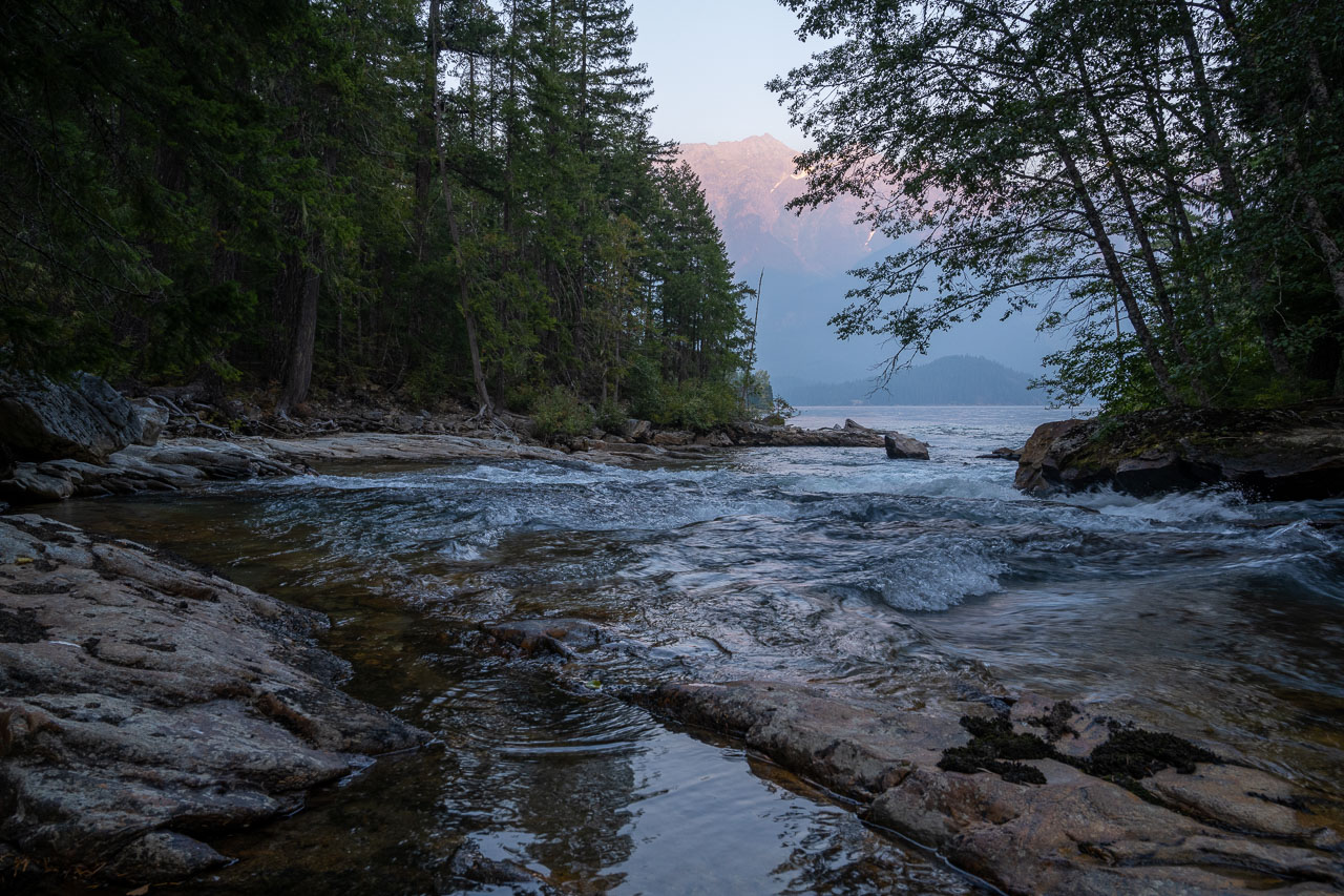
The campground had a few nice campsites on the shore of Ross Lake, so we picked one of the remaining open sites. There were three or four other groups camped nearby but the tent sites were spaced far enough apart that we still had some privacy. After making dinner I hiked over to where Big Beaver Creek flows into Ross Lake. The shoreline had an impressive view of Jack Mountain, which towers more than 7,000 ft above the lake. In camp that evening we talked about various backup plans to avoid the smoke. I was hoping we might be able to do something on the Olympic peninsula, but that would depend on the smoke clearing out.
1.1 Miles, 750 Gain
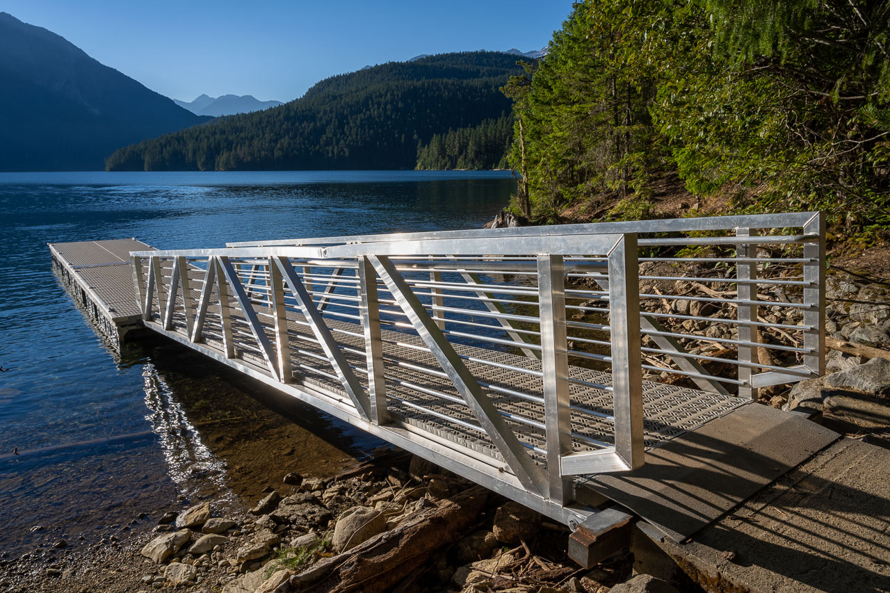
When we got up the next morning, we found that the smoke had gotten much thicker overnight. We packed up camp then went down to the dock to wait for the water taxi. The taxi arrived on time just as the sun was starting to rise over Jack Mountain. After a short ride across the lake, we hiked the final mile back up the hill to the trailhead.
We drove down the road until we found a spot with cell service, then I spent some time researching the smoke conditions. We still had a few days left on the trip, but nothing within reasonable driving distance looked good. I checked the Olympic peninsula, parts of southern Washington, Glacier National Park, and parts of Idaho and Oregon, but everywhere I looked the forecast had extremely unhealthy air quality. In the end we decided it wasn’t worth continuing with the trip if the conditions weren’t good, so we made the decision to drive all the way home that evening.
Driving back through Oregon was the worst air quality I have ever seen. We needed to drive with the headlights on even though it was the middle of the day. We stopped for food in Eugene and I checked to see where the fires were located. As it turns out, there was a large fire burning in the hills less than 20 miles from where we stopped. Thankfully driving along Interstate 5 wasn’t affected, but major highways to the east and west were closed at various points along the way. We eventually got back around midnight after a long day of driving.
The trip hadn’t ended the way I had planned, but overall I was still really impressed with the mountains in the Cascades. We had great conditions for Glacier Peak and good conditions for the North Cascades until the smoke arrived. Seattle is a short flight from Sacramento, so I hope to spend more time exploring the area in the upcoming years.