The Skyline Wilderness Park located near the town of Napa has an interesting history. Prior to the park opening in 1983, the property originally belonged to the State. The origins date back to 1875 when the state opened the Napa Insane Asylum. At its peak, the asylum housed more than 1,300 patients on the 192 acre property. In 1979 it was determined that the hospital no longer needed a portion of the property that extended into the hills above Napa. The state was originally going to sell the property to a private buyer, but a group of concerned citizens intervened to preserve the area as park land. The resulting deal transferred ownership of the property to Napa County, who in turn leased the property to the Skyline Park Citizens Association. Today the park has twenty five miles of trail, and includes camping, disc golf, and archery. The loop I had planned would use several of the trails to access peaks located inside the park and in adjacent farm land.
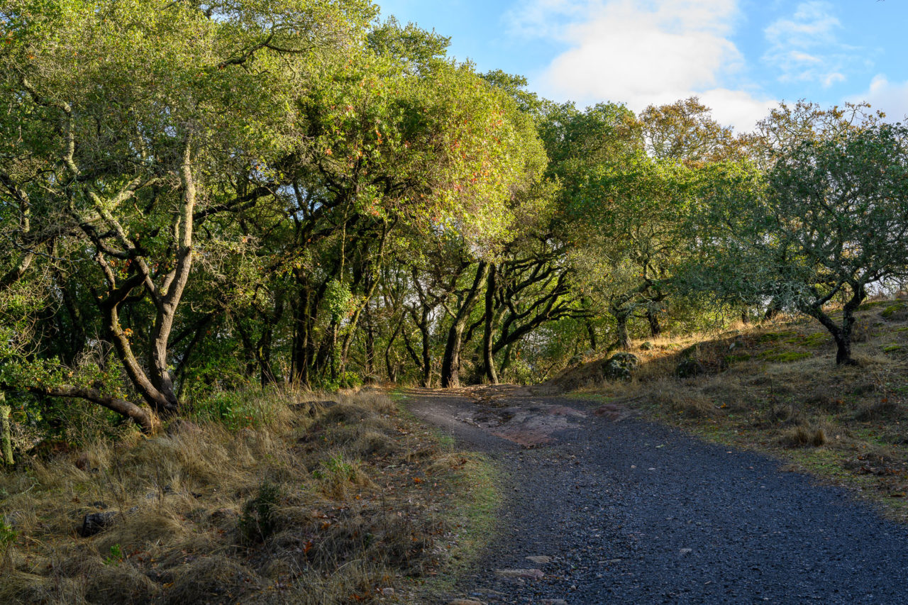
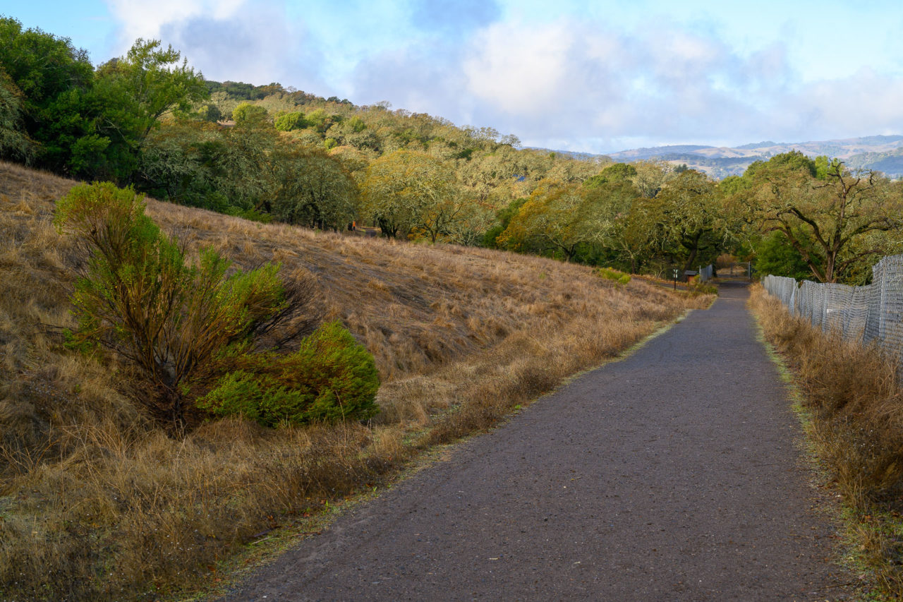
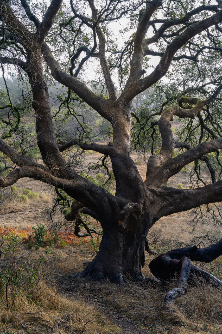
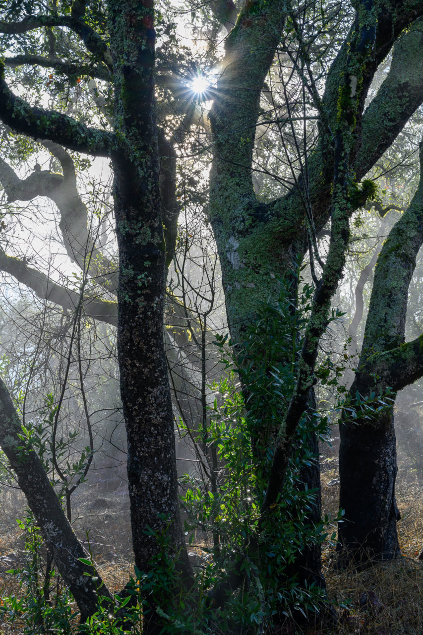
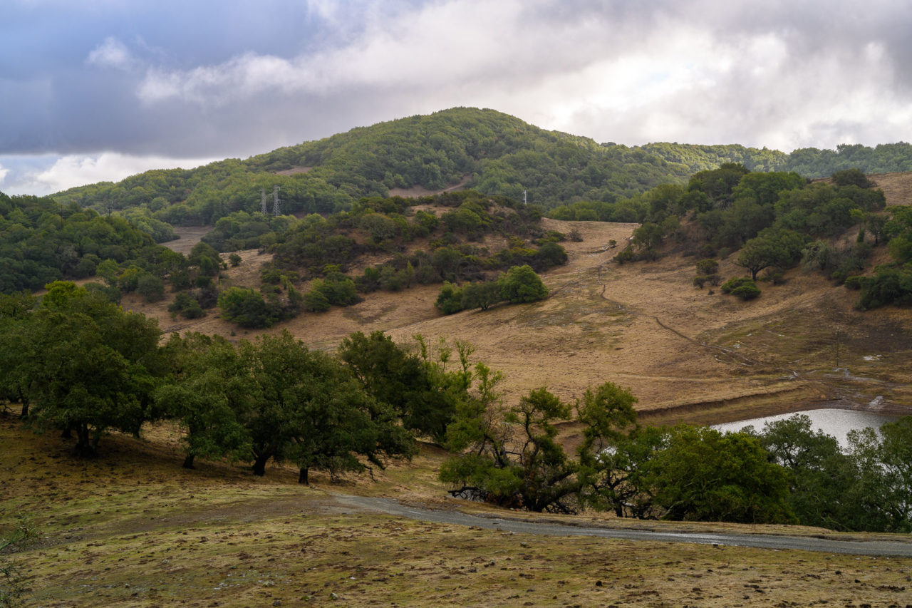
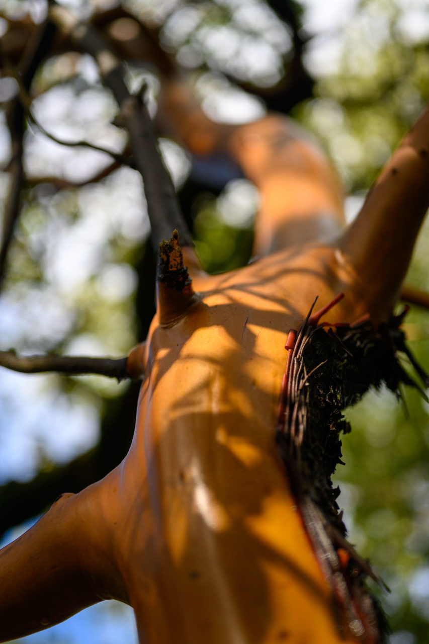
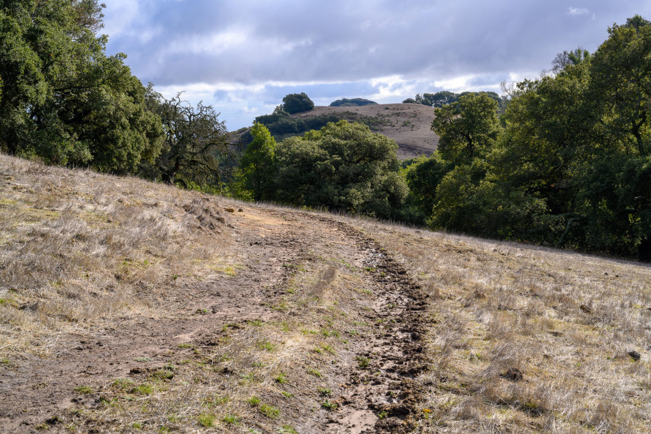
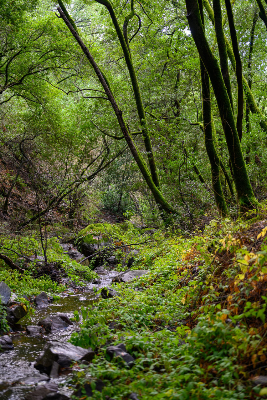
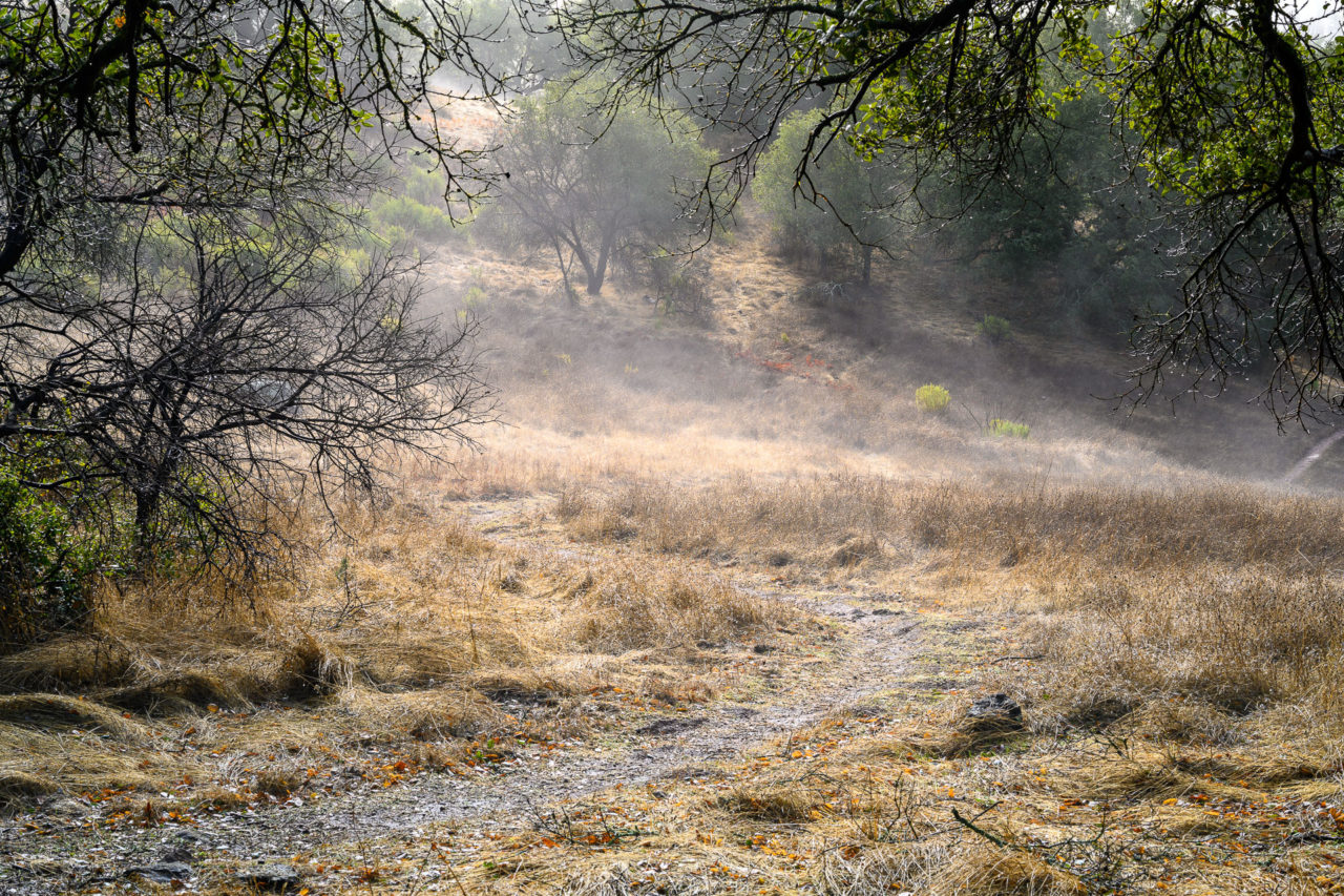
From the parking area, I followed signs through a nicely developed picnic and day use area. A narrow fenced corridor led through the former hospital grounds to the trail system beyond. I followed Lake Marie Road as it paralleled Marie Creek for roughly a mile before reaching the Rimrock Trail. I followed that trail as it switchbacked up the hill towards the first peak of the day, listed as Sugarloaf on the map. It had rained over an inch the previous day, which had left the trails muddy. A fog layer surrounded the peaks, and it had not yet fully burned off by the time I reached the summit.
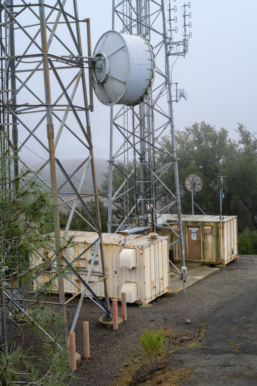
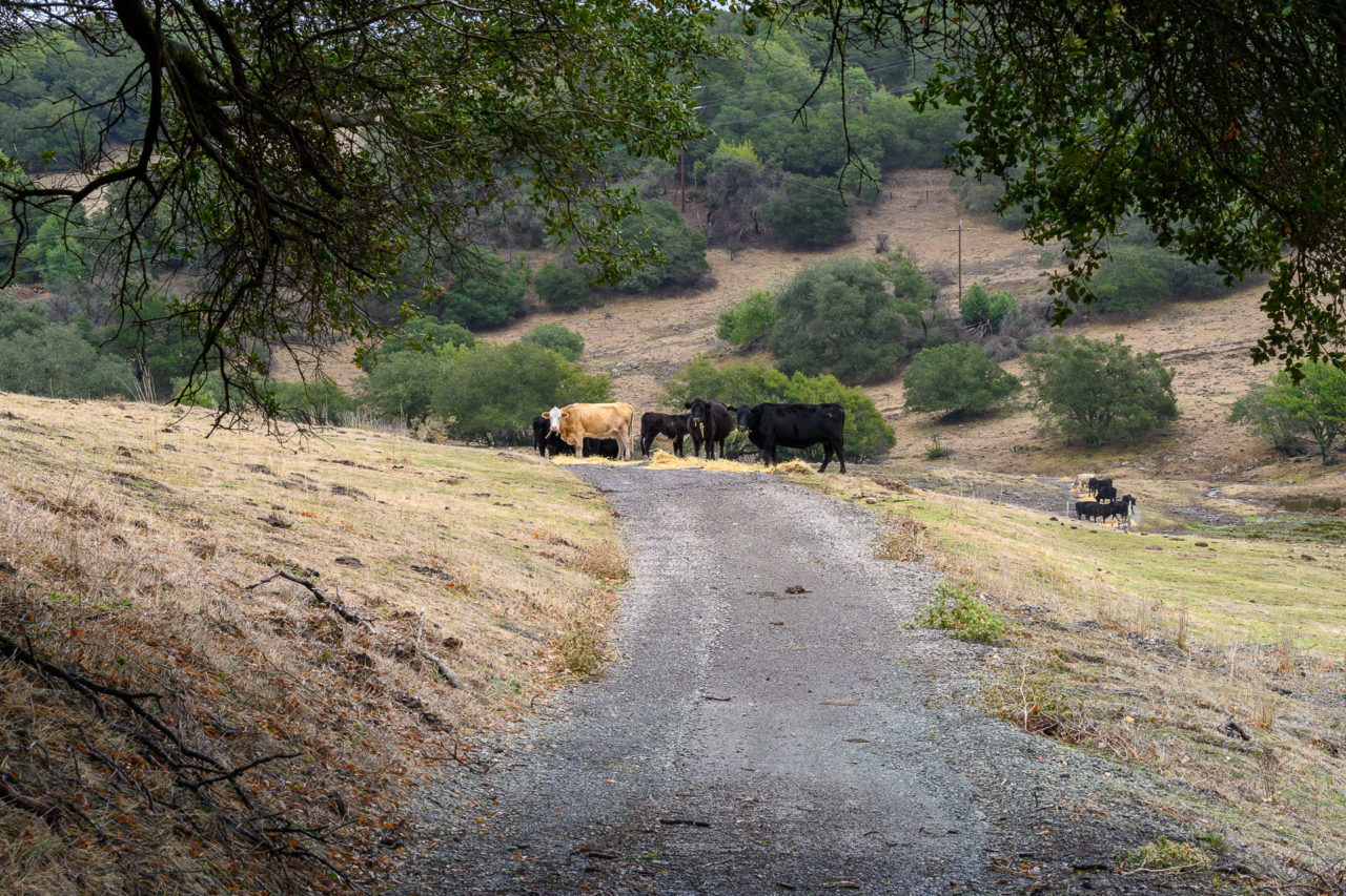
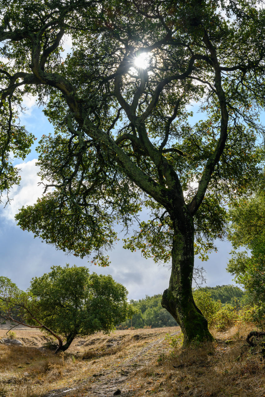
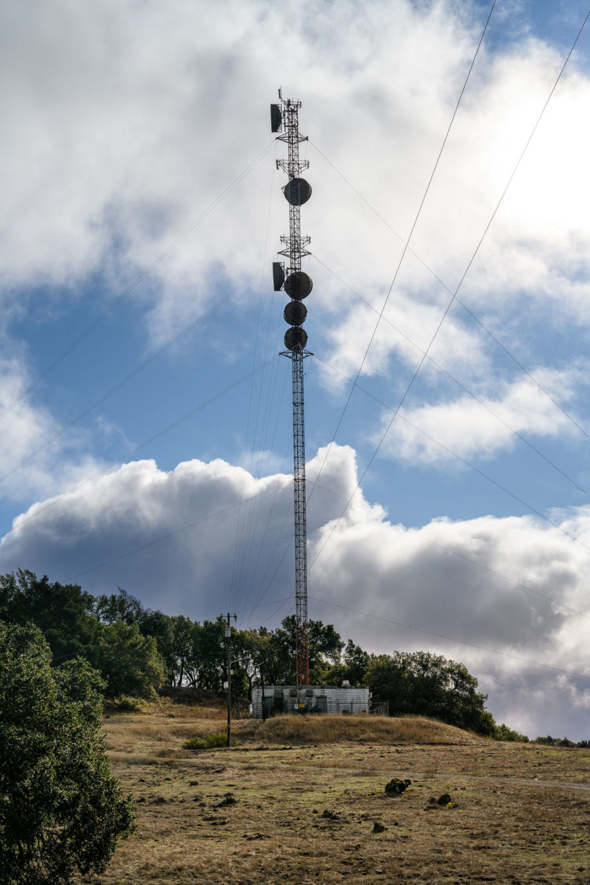
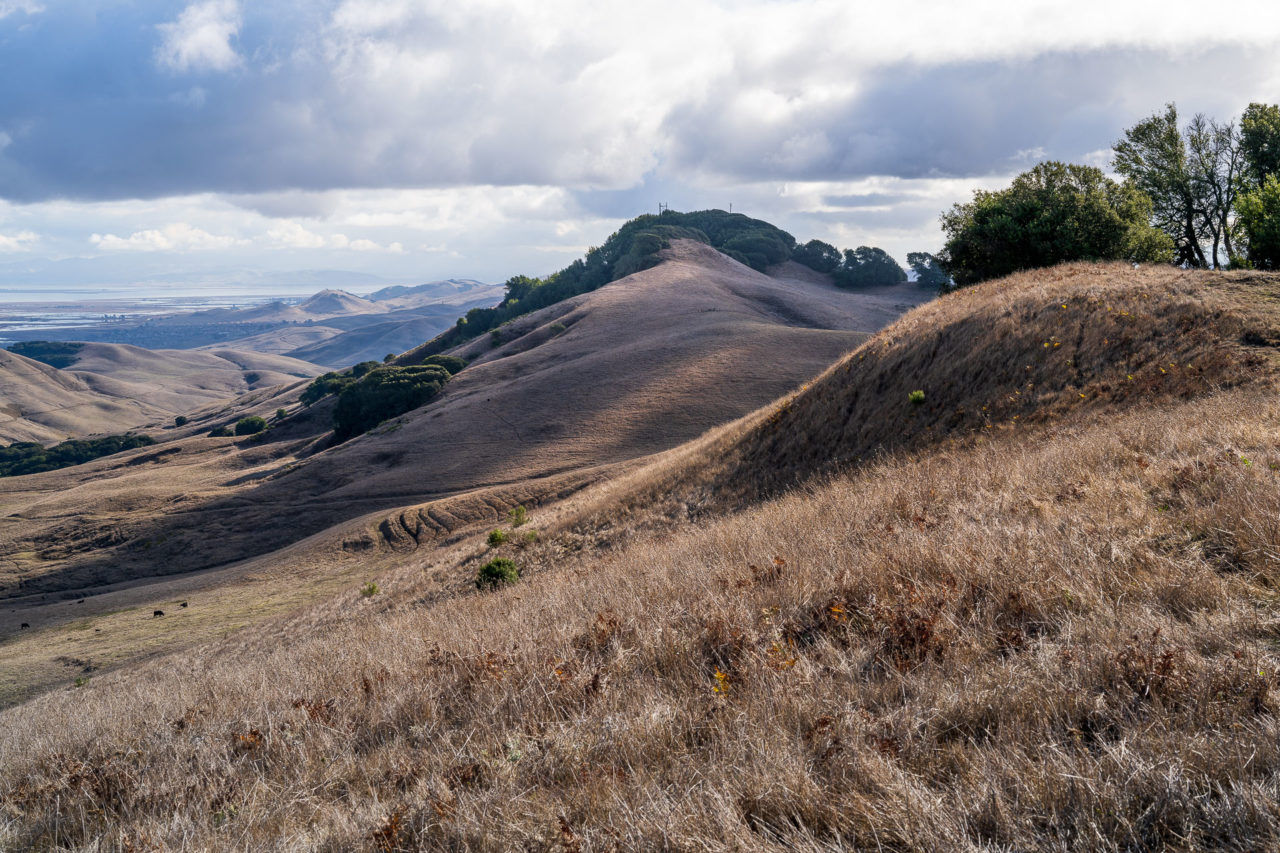
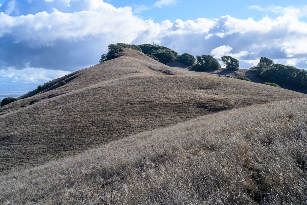
After taking a break at the summit, I started cross-country along the ridge towards Tulucay Benchmark. Arriving at the summit, I walked by a communications building to the highpoint lying on the west side of the peak. From there an access road led down the hill towards the next peak, Peak 1593. On my way down the road, I passed a herd of cows grazing on hay that appeared to have been left out by a rancher earlier that morning. I left the road near a small reservoir, crossing a muddy field on a cow track that led towards Peak 1593. I picked up another access road at the base of Peak 1593 that I followed for a short way before cutting up the hillside towards the summit. There were a few highpoints along the ridge. I checked the GPS a few times, finding they were all roughly the same height.
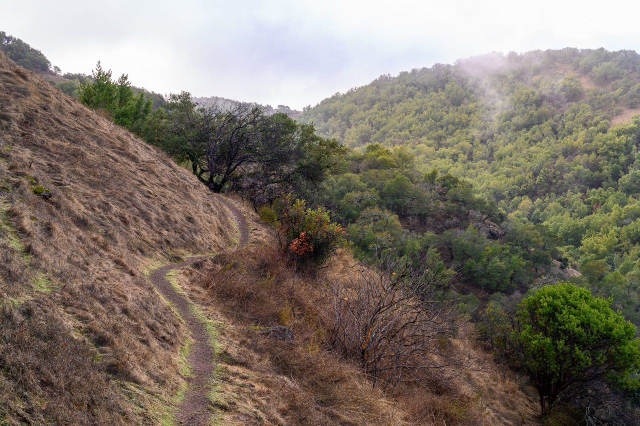
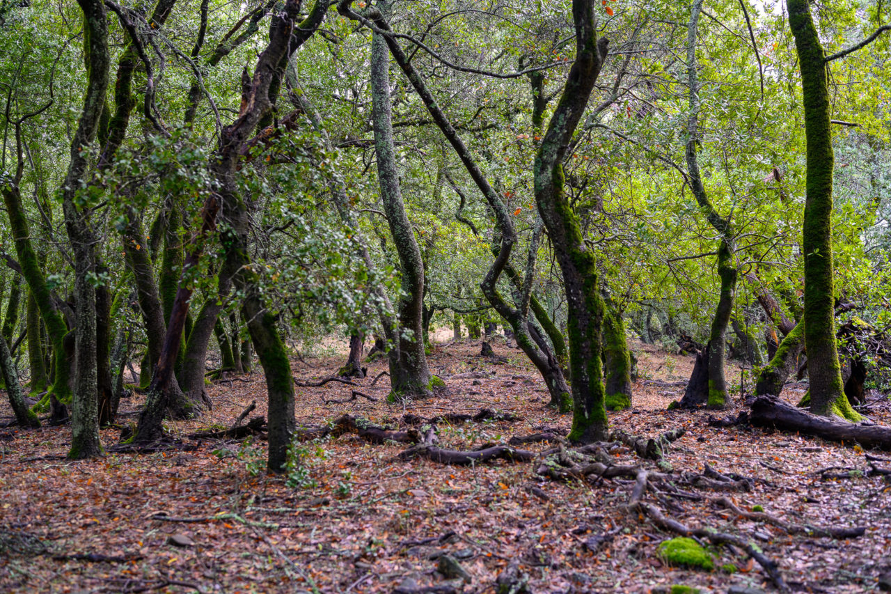
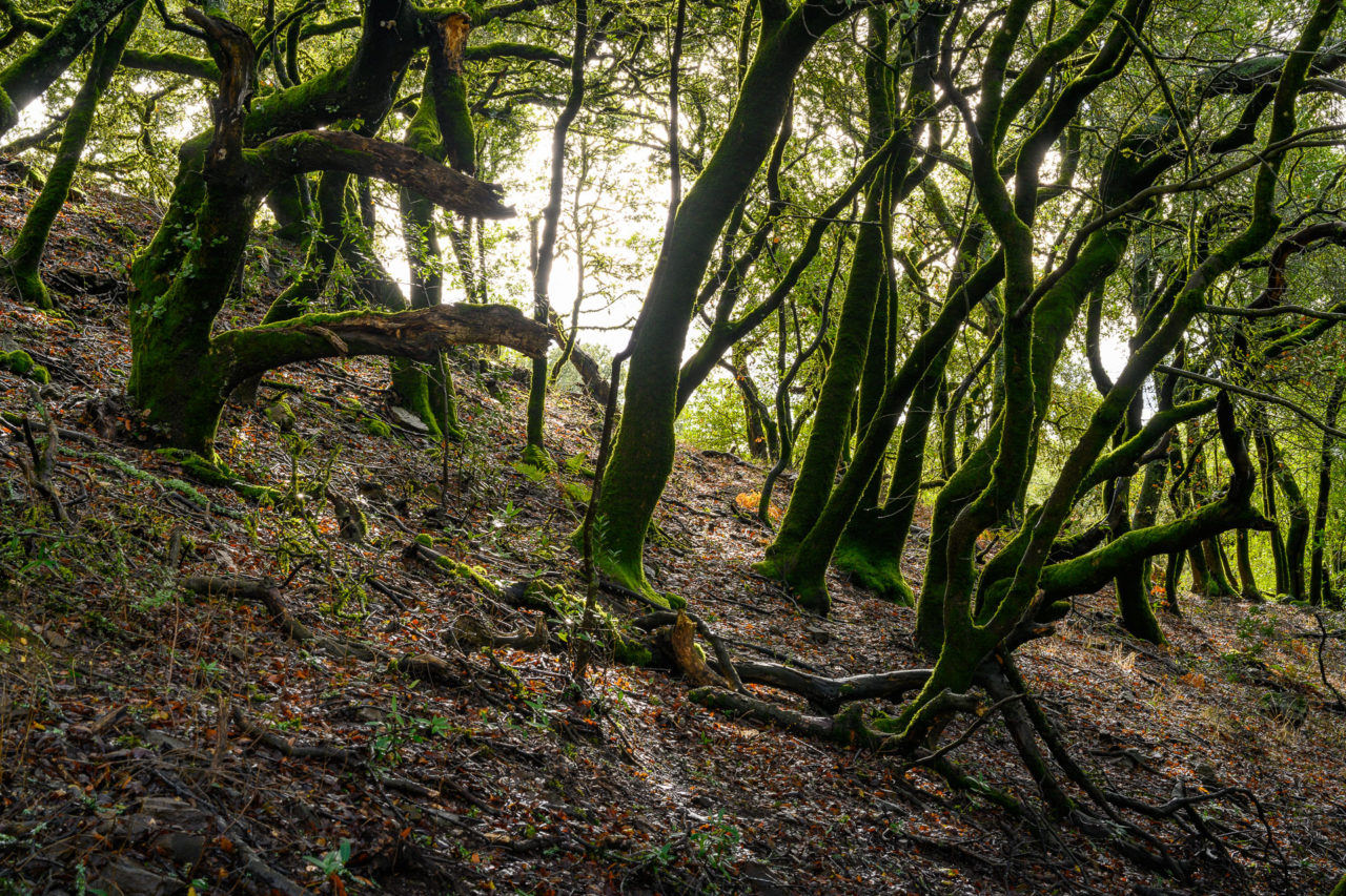
The final peak of the day, Elkhorn Peak, was still three miles to the south. The bush up to this point had been relatively mild, but shortly after crossing an open grassy field I encountered the first thick section. I had been trying to follow a direct path towards Elkhorn Peak, toggling between the terrain and satellite view on my phone to make sure I was heading in the right direction. I started off following an old ranch road down the hill, but soon realized it was heading in the wrong direction. To correct course, I cut into the bush toward an open grassy area at the bottom of the hill. Some tunneling around and through a grove of manzanita eventually got me back on course.
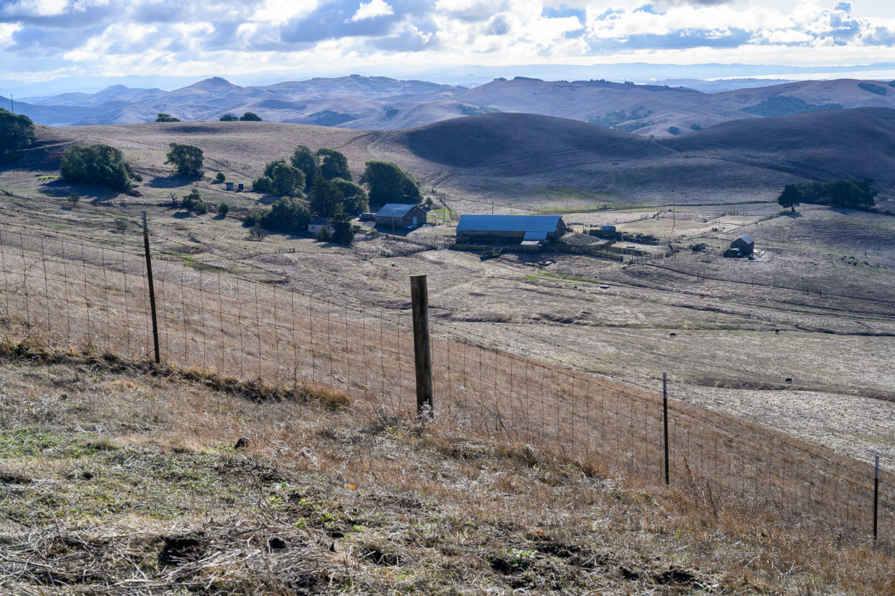
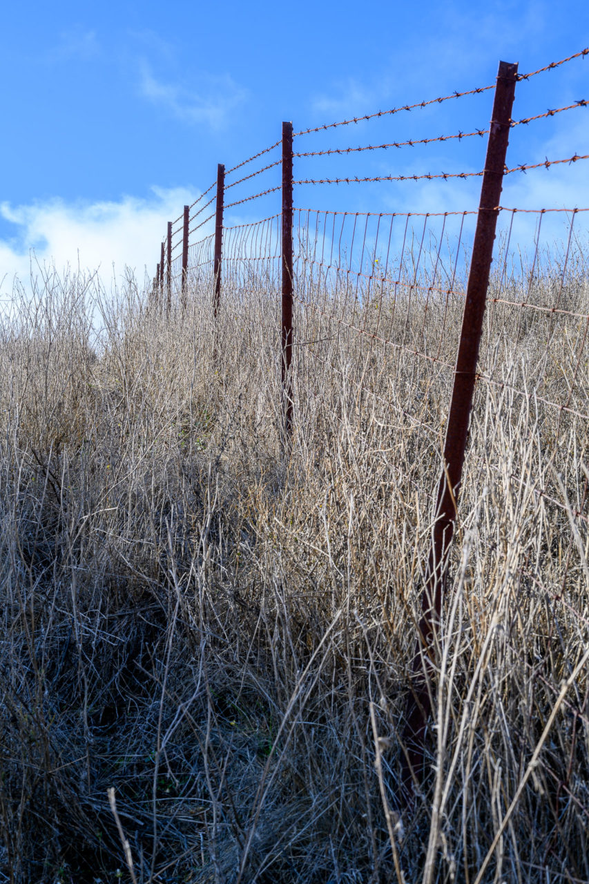
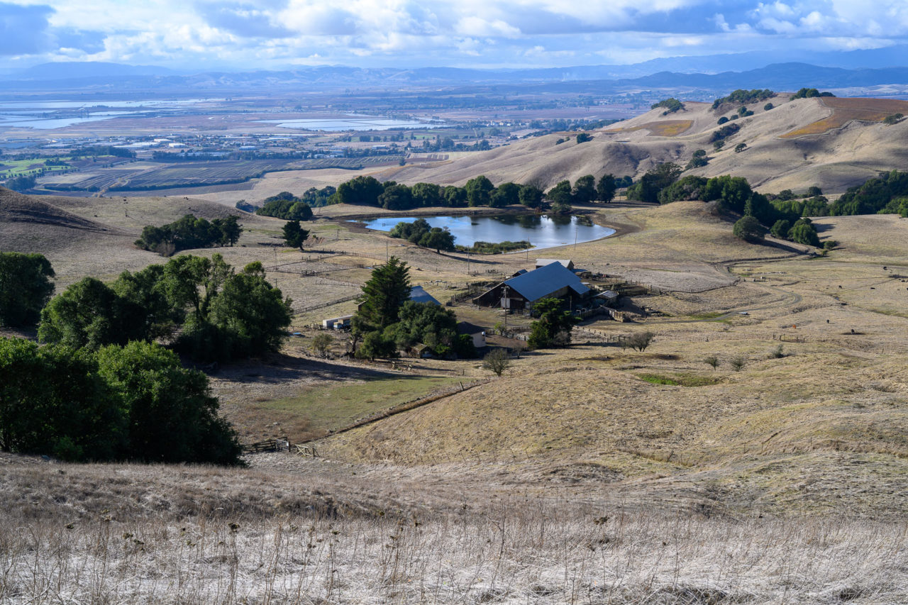
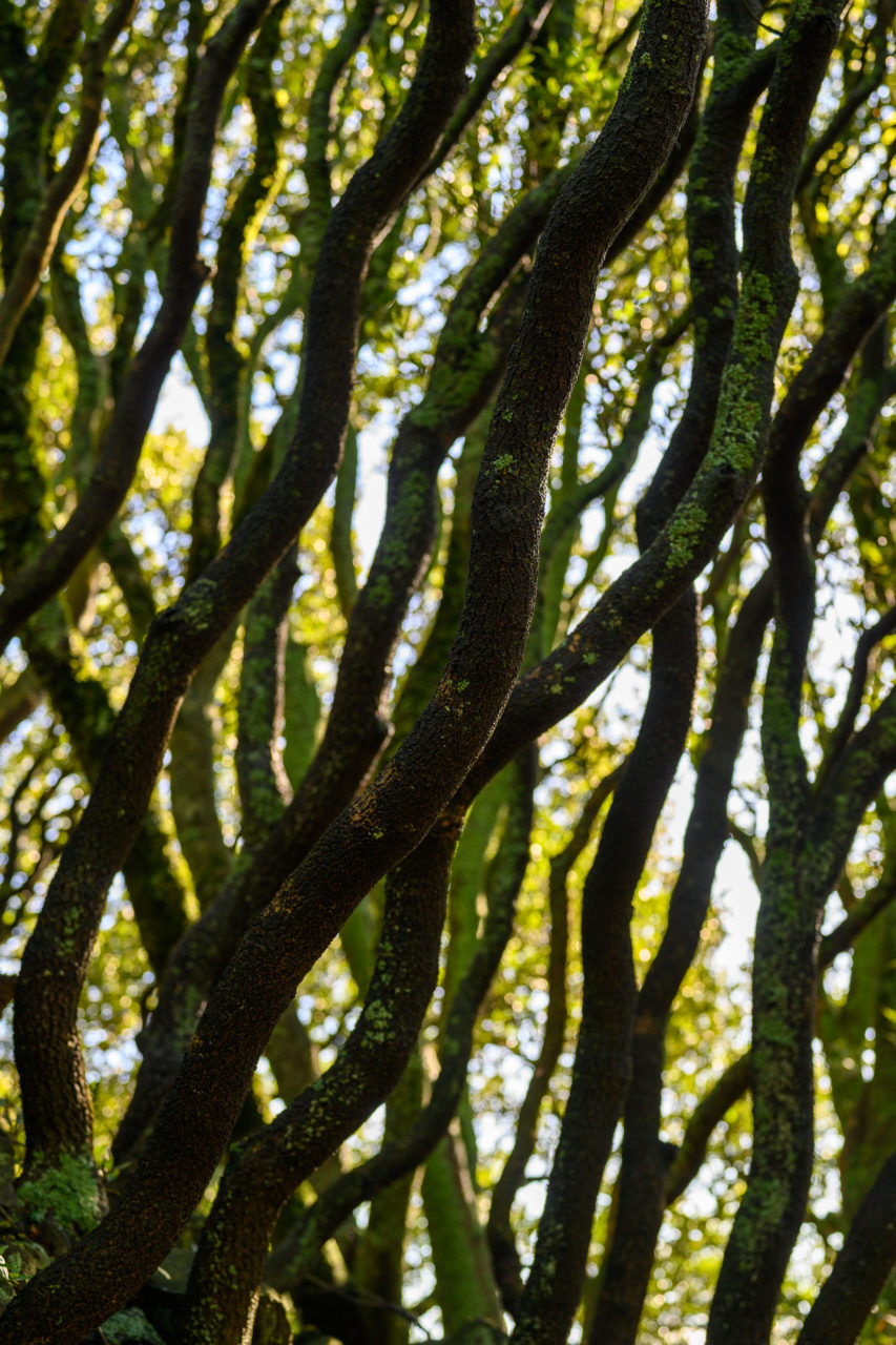
The rest of the hike to Elkhorn Peak was across open grassy fields. I passed several cow herds and another communication tower on my way to the peak. Just before reaching the final slope leading to the summit I encountered the most imposing barbed wire fence of the day. The fence was reinforced at the bottom and tall enough that it would be difficult to get over. Fortunately after dropping a few hundred feet down the hillside I found a section that had partially collapsed. The final stretch to the summit crossed an exposed slope directly above a farm house. As far as I could tell there was no one home, but a horse did start to make plenty of noise after it noticed me. A thick stand of trees guarded the final rocky slope leading to the summit. I took a few pictures out toward the Fairfield area from the summit, then started back the way I had come.
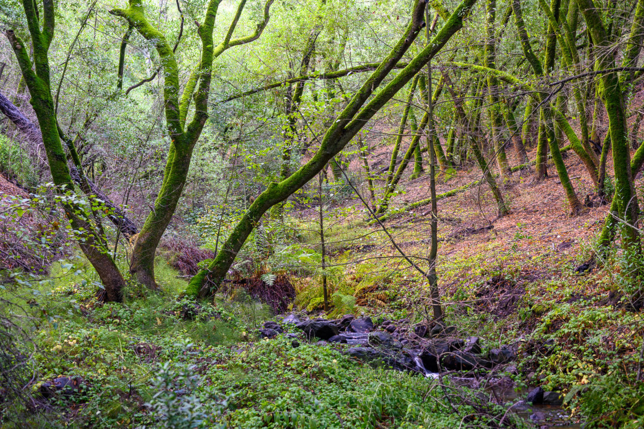
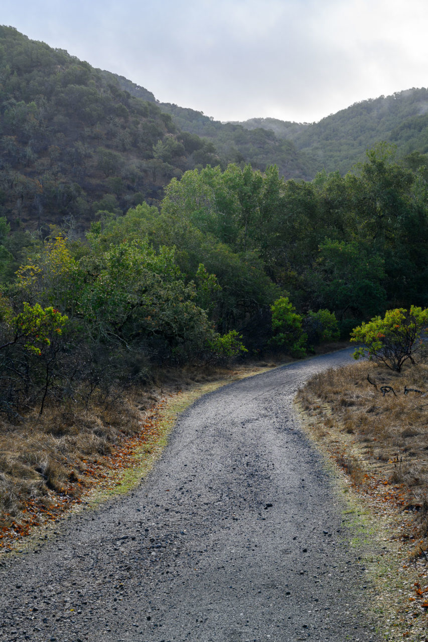
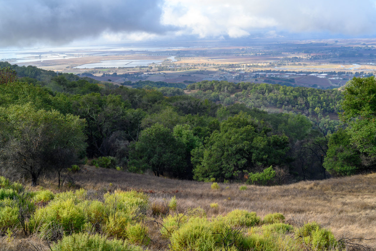
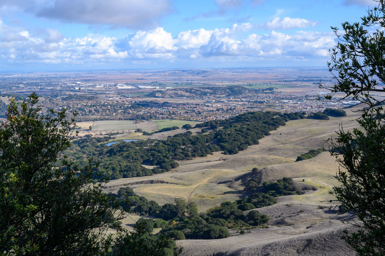
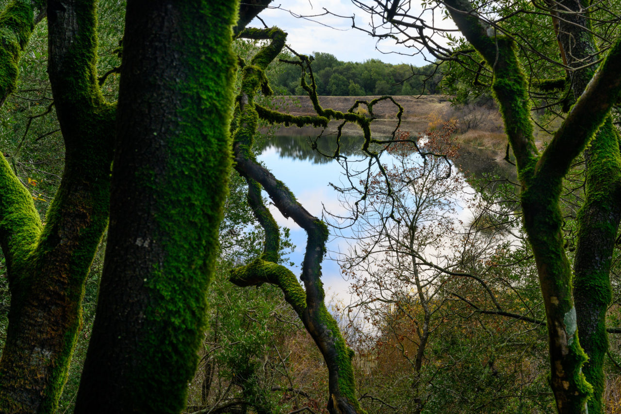
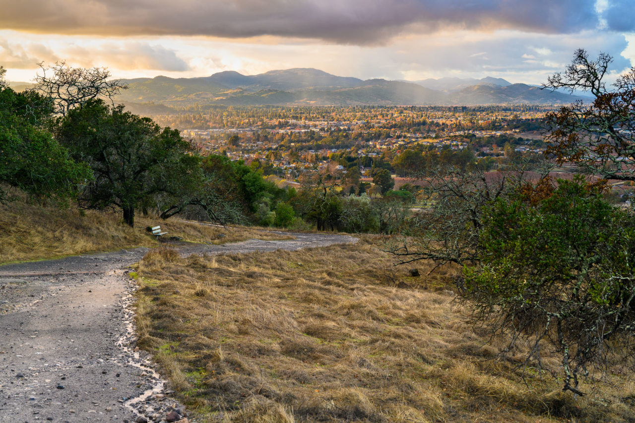
To complete the loop I went over the ridge at the head of the canyon I had been travelling up earlier that morning. An old tire track led most of the way down the hill, requiring a short bushwhack across Marie Creek to rejoin the trail system. From there I followed the Skyline Trail past Marie Lake, then took the Marie Creek Trail back to the parking lot. It rained briefly on the way back, but cleared up in time to take a few pictures of Napa in the fading light.