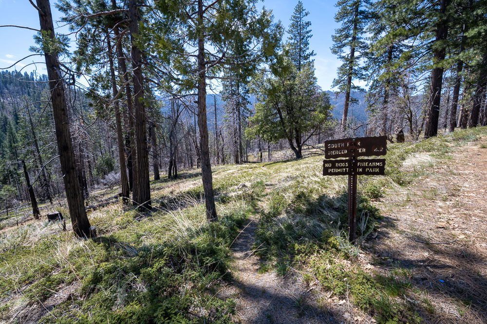
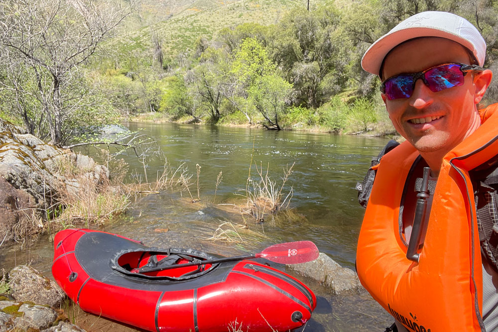
Trailhead along Highway 41. I did a hike with my dad in the morning so I didn’t get started until mid-afternoon. I was thinking this would still give me plenty of time to reach Peachtree Bar but the trail turned out to be more overgrown than expected. I carried a packraft with me for this trip, which was the only way to get across the South Fork Merced during spring runoff.
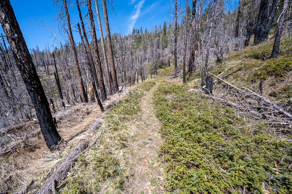
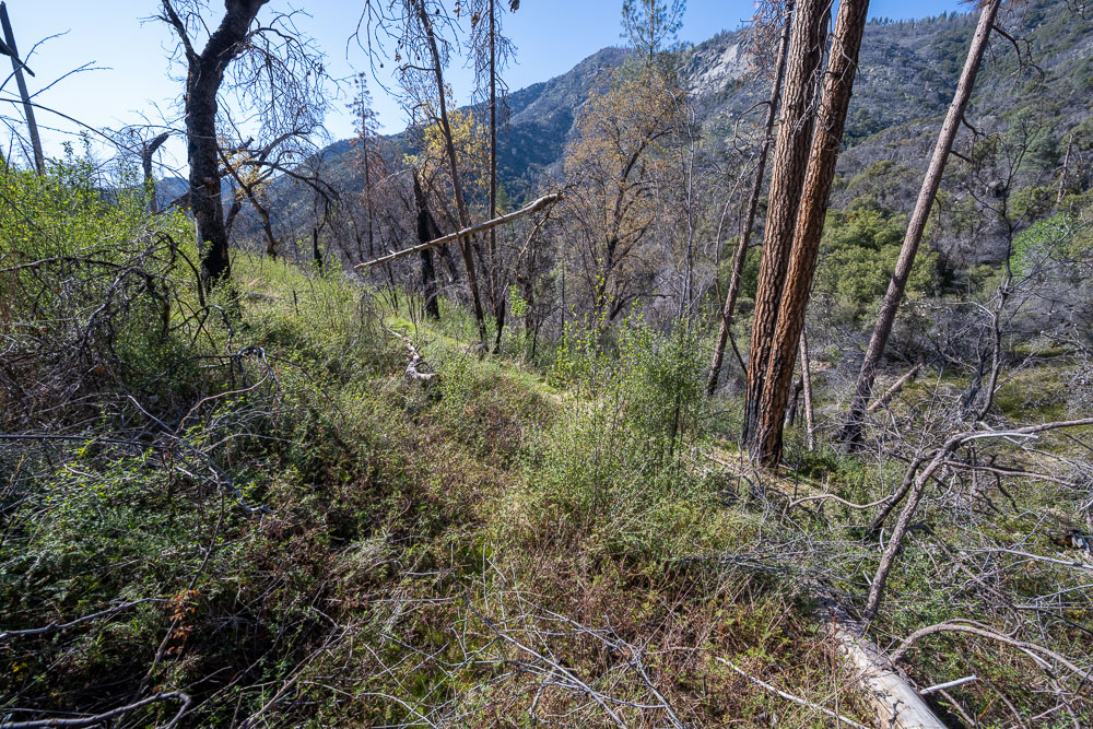
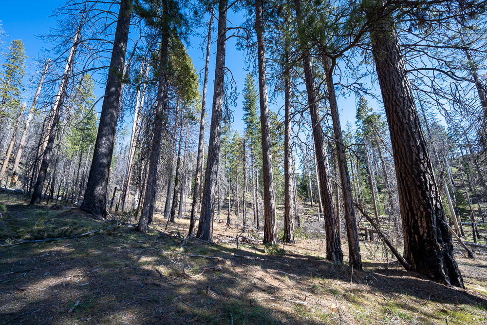
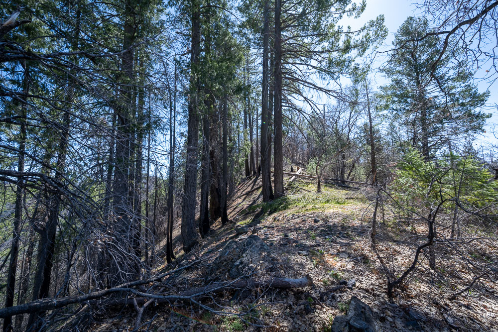
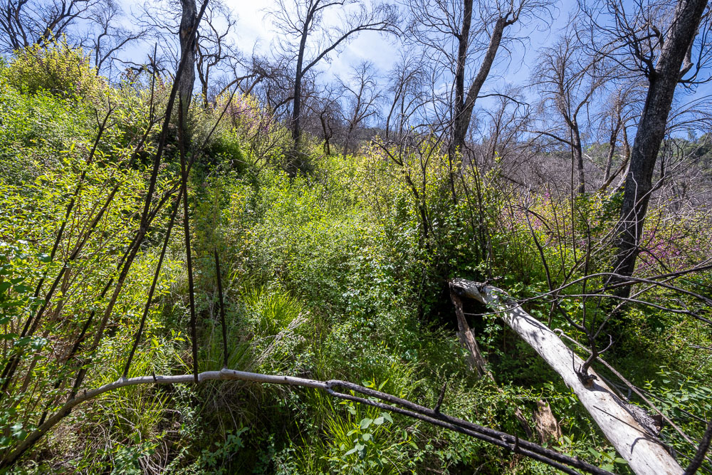
Trail heading through a burn zone. Much of this area was burned in the 2018 Ferguson fire.
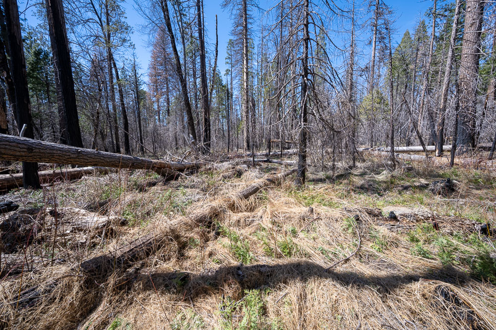
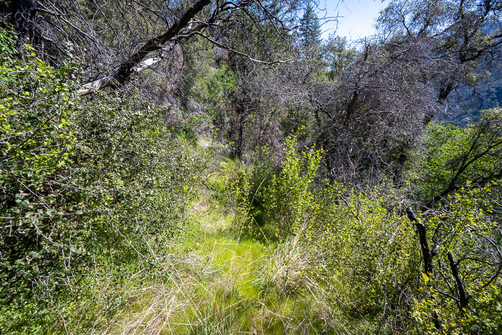
Losing the trail briefly in a marshy section.
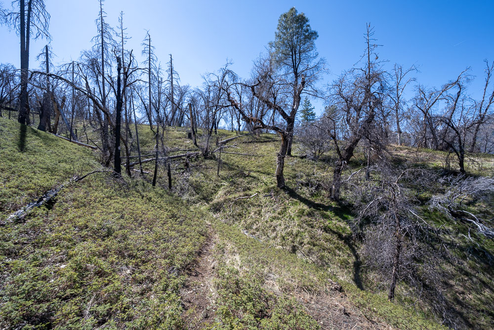
Picking up the trail again.
Crossing Bishop Creek.
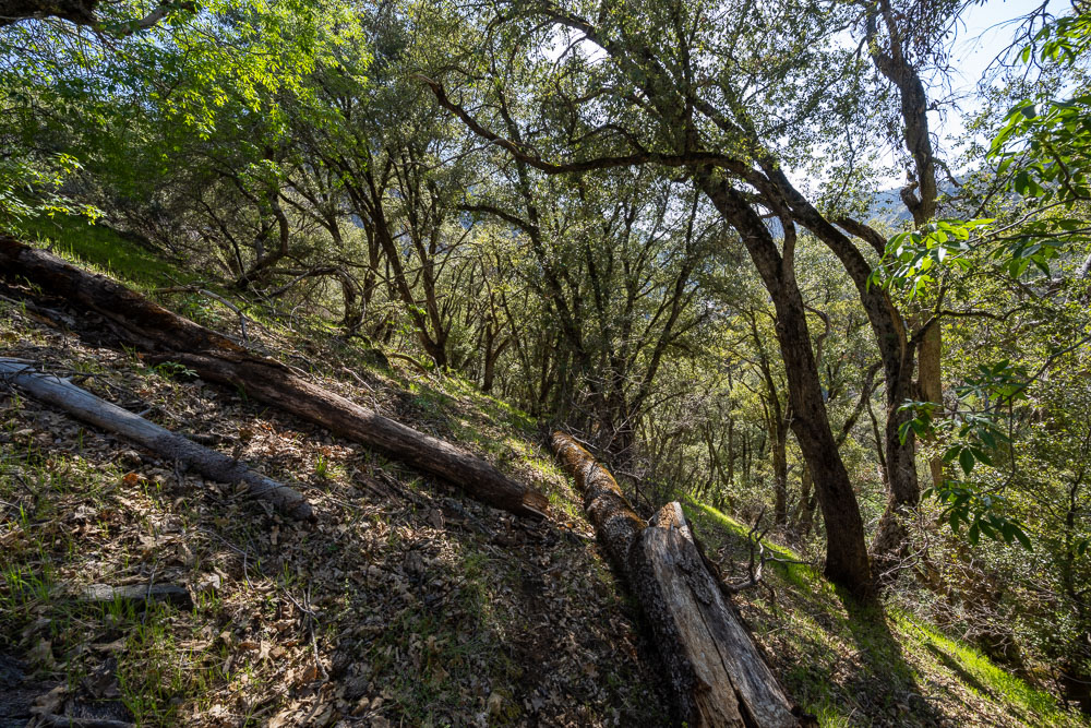
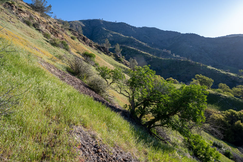
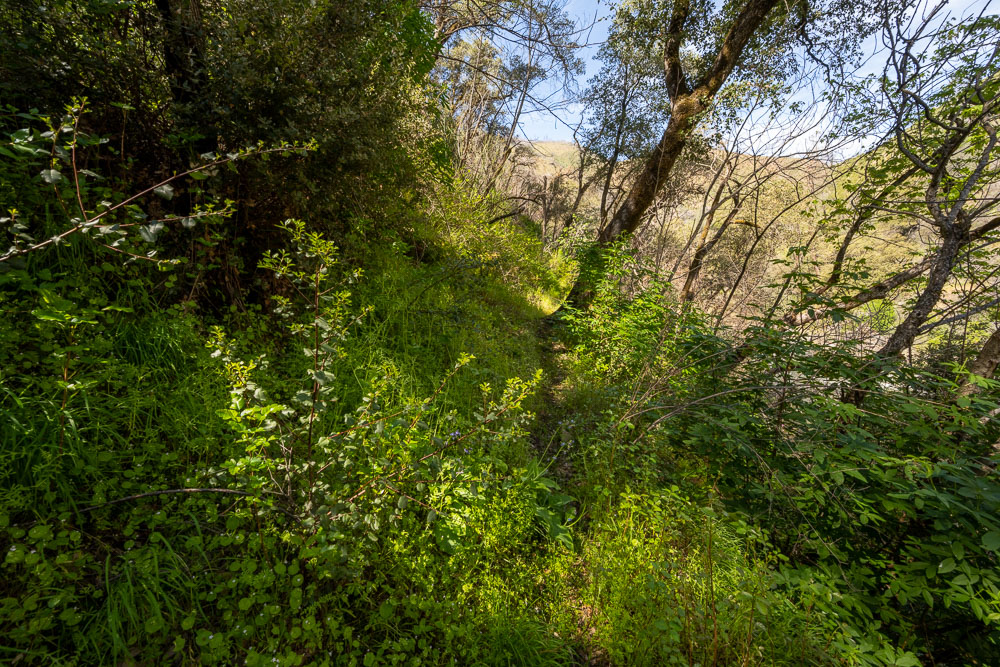
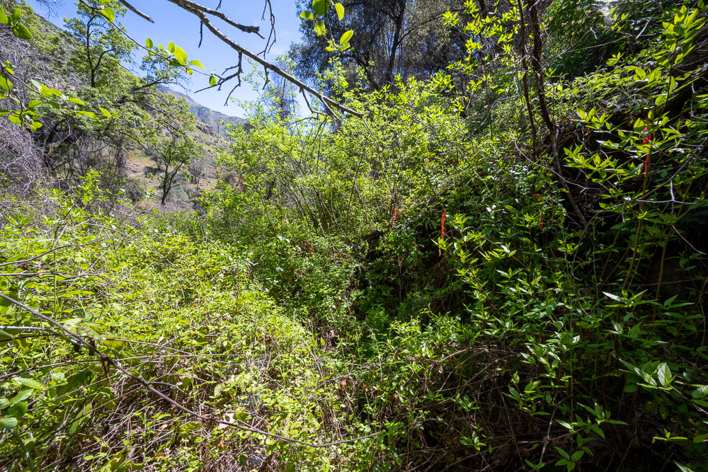
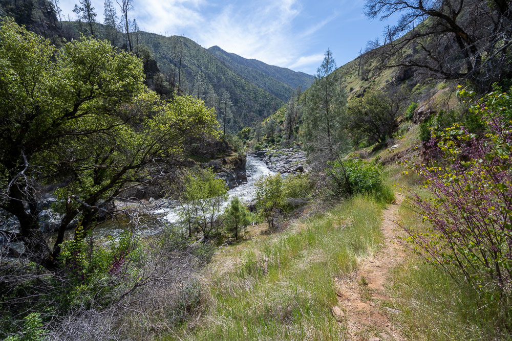
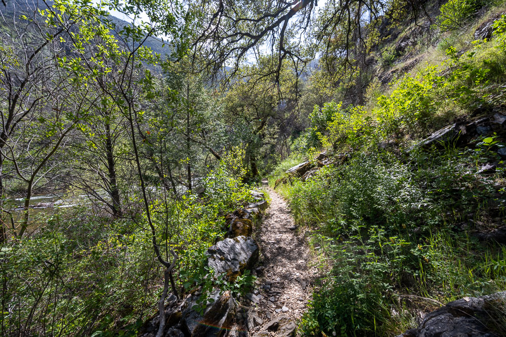
Typical trail conditions below Bishop Creek. Plenty of poison oak to avoid.
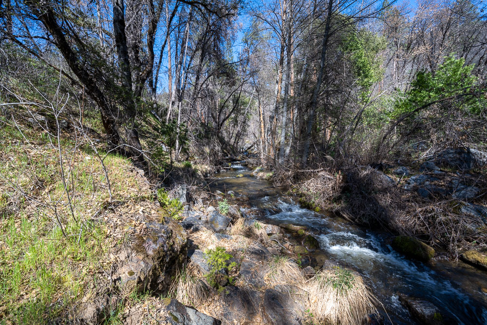
Bishop Creek down lower. There was a side trail leading down to the South Fork Merced so I went over to check out the river conditions.
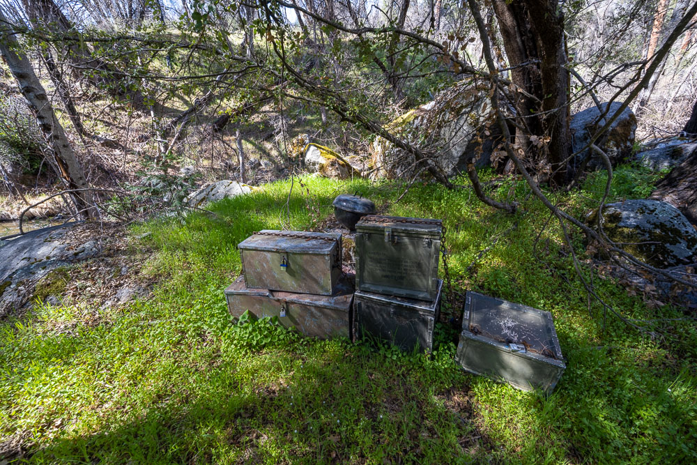
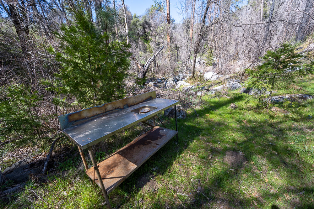
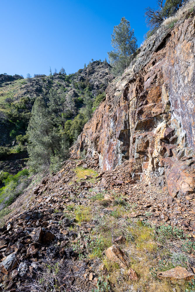
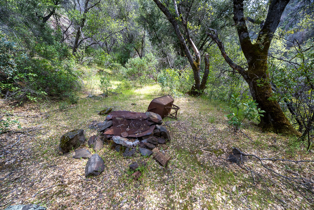
Some old storage containers near the crossing. This looked like it was part of a mining camp.
The camp even had a sink.
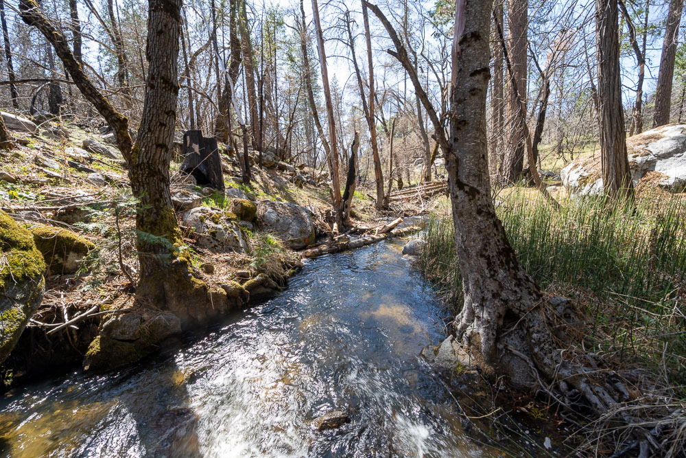
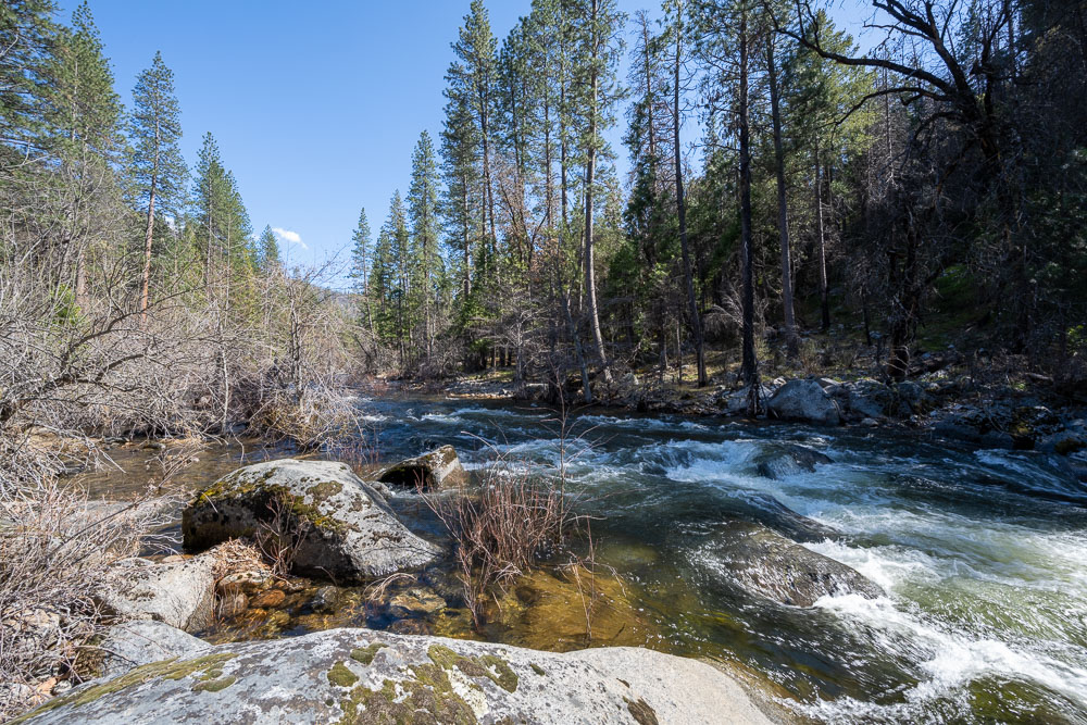
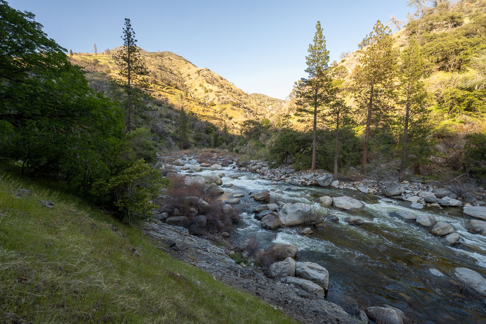
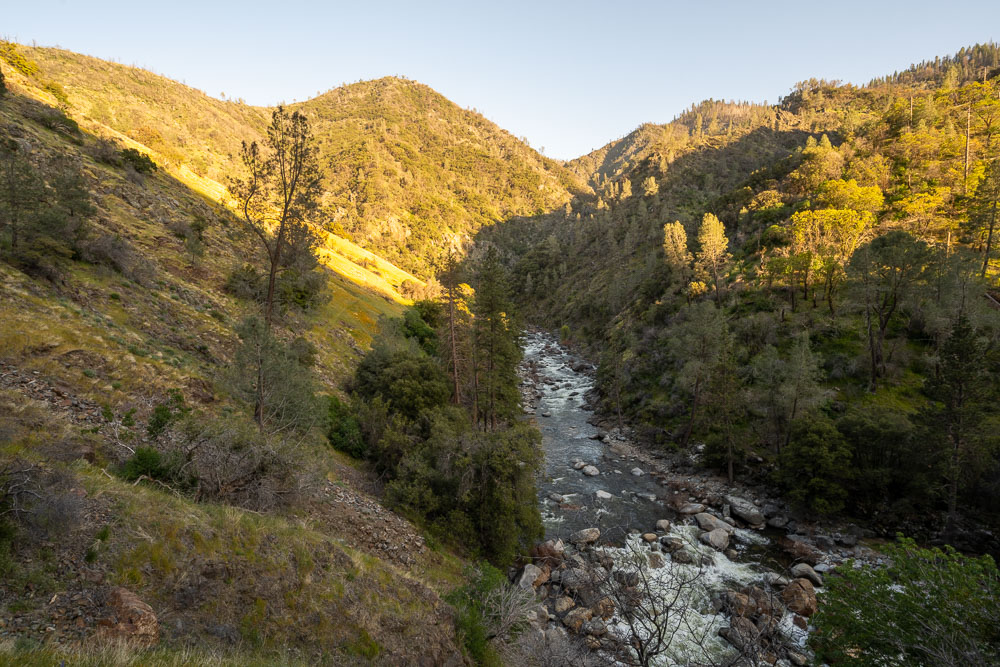
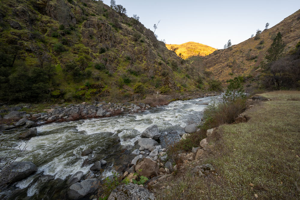
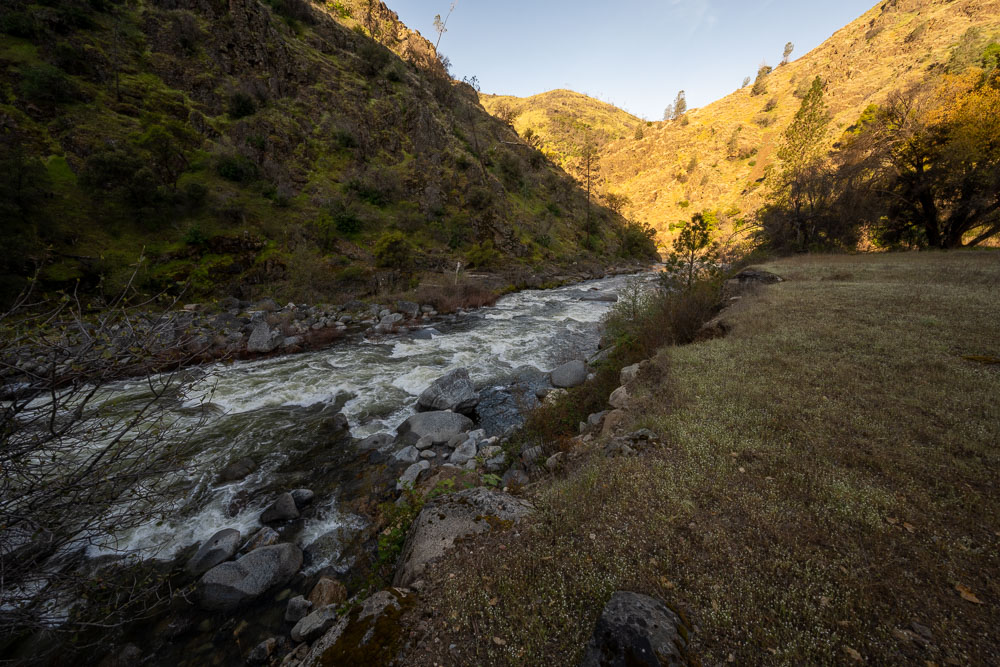
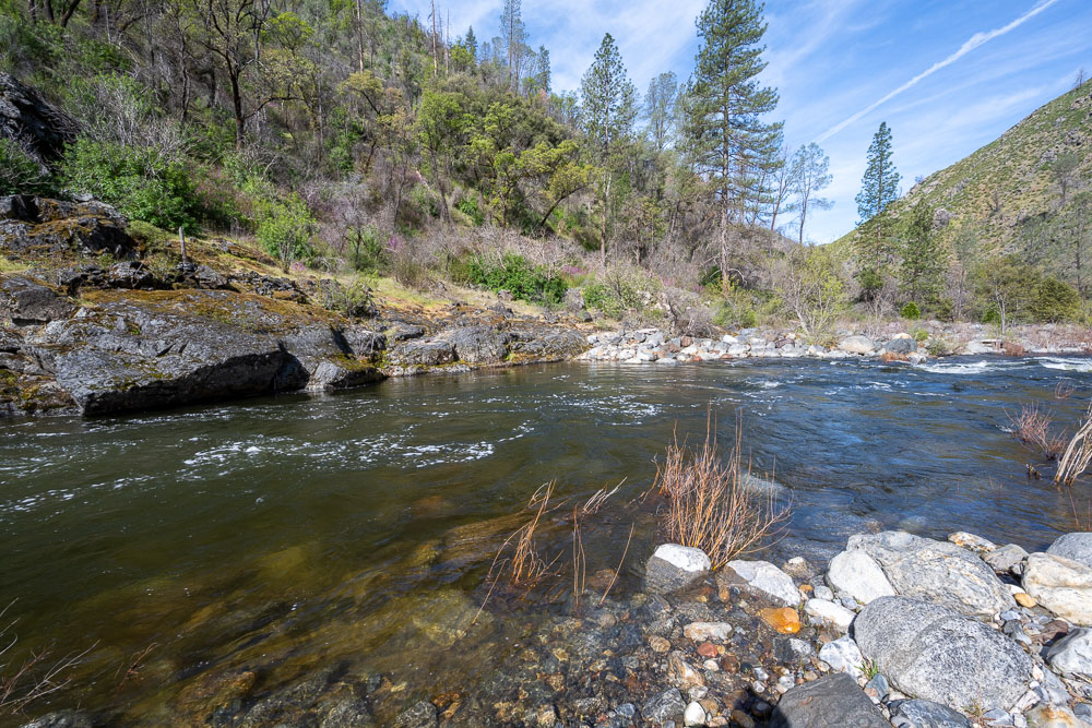
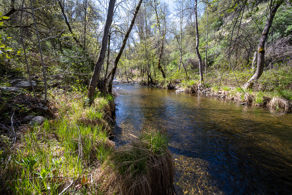
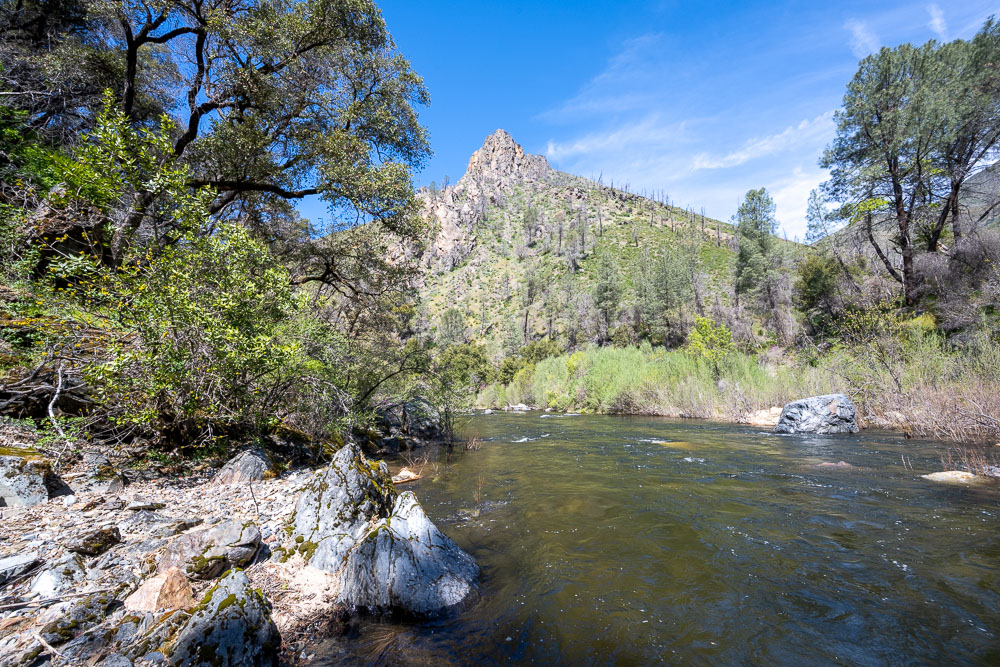
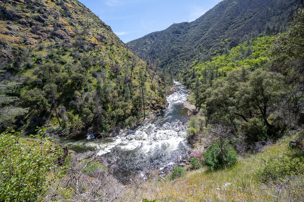
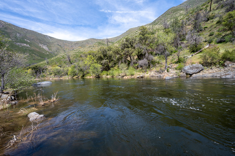
South Fork Merced where the Rush Creek trail crosses.
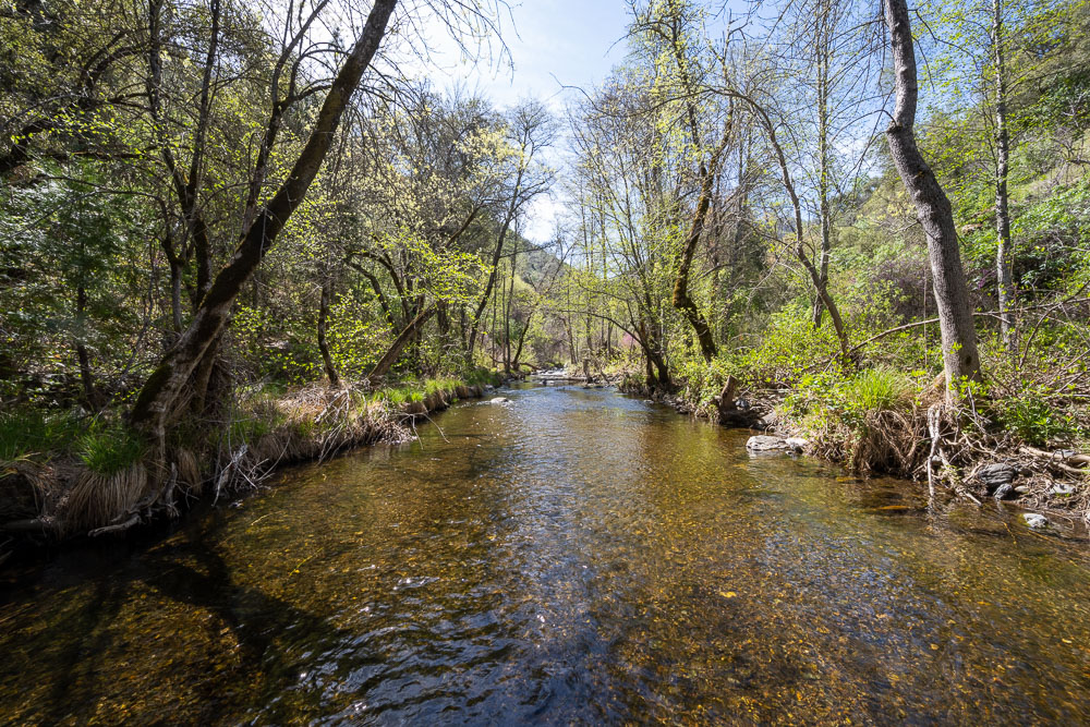
Another view of the river. It was flowing much too high this time of year to cross without flotation. Thankfully I had a packraft to help me get across.
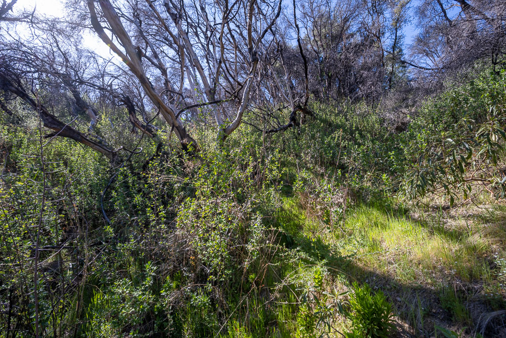
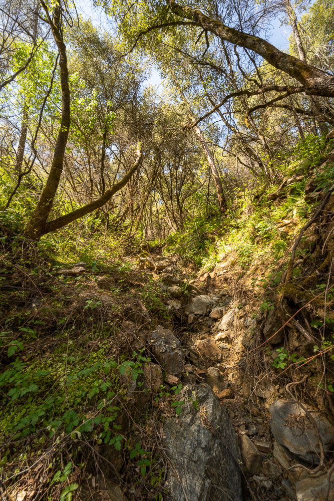
The trail mostly dissapeared as I started down the river. There were some thick sections of poison oak that were difficult to avoid. I brought Technu with me to wash up each night.
Typical conditions. Sometimes I could make out the trail, but for the most part this upper section was cross country.
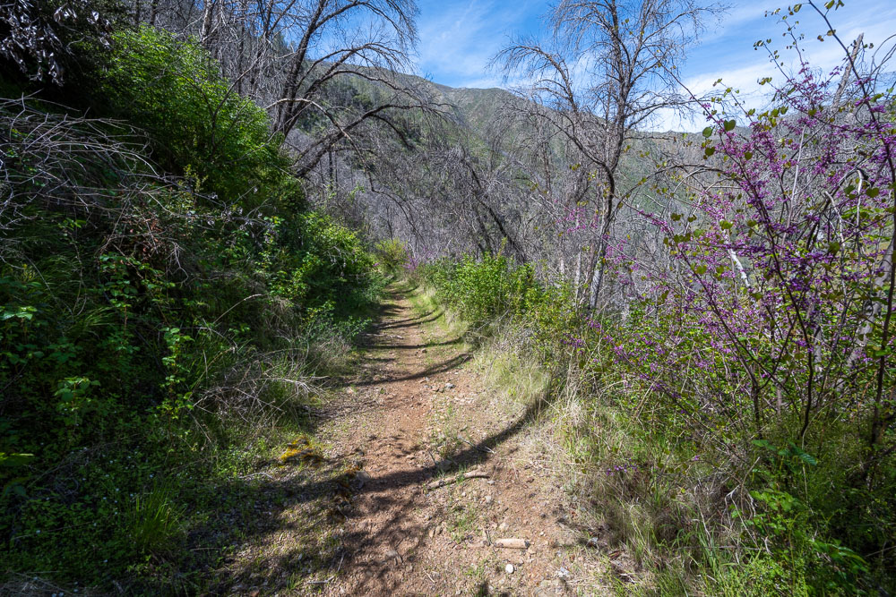
Finding the trail in an unburnt section.
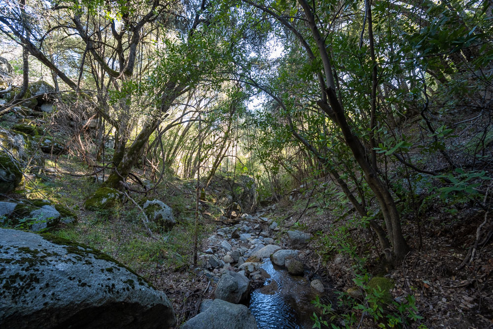
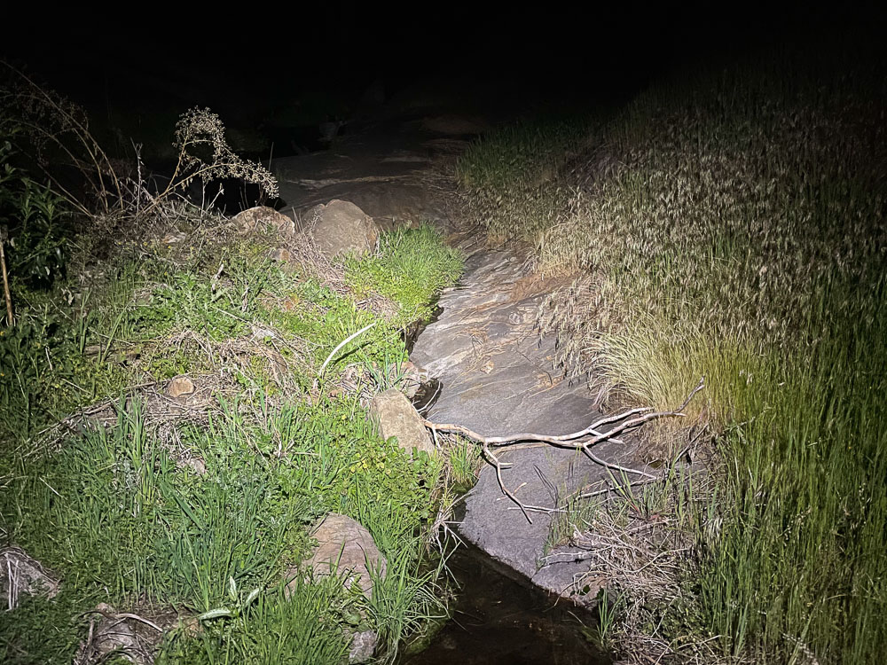
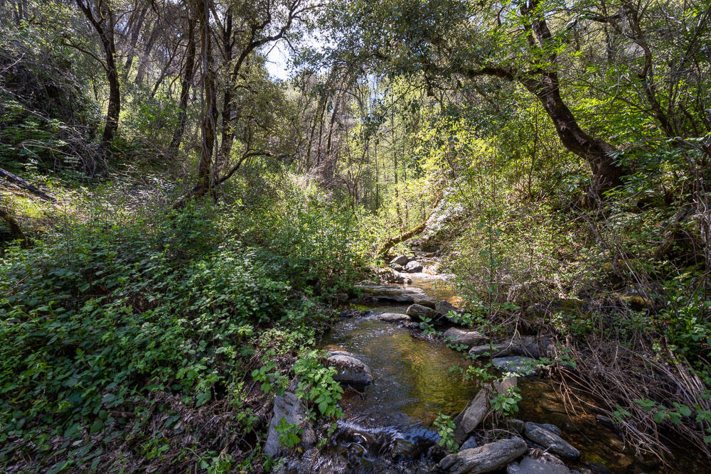
Creek crossing during a cross country section.
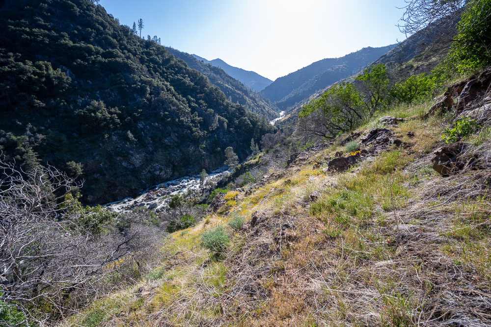
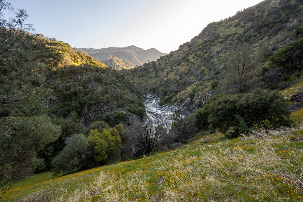
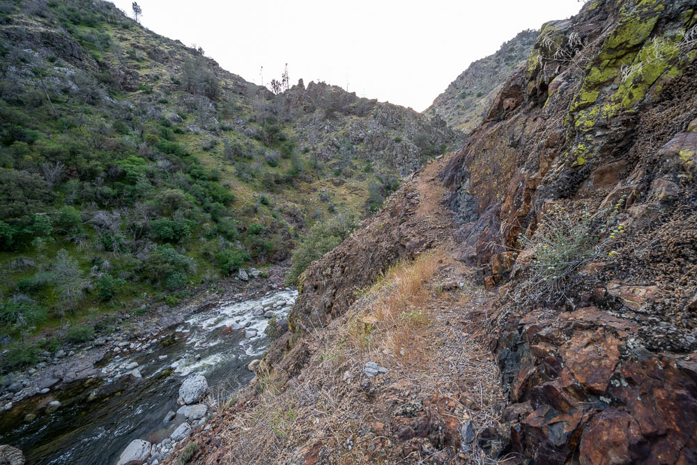
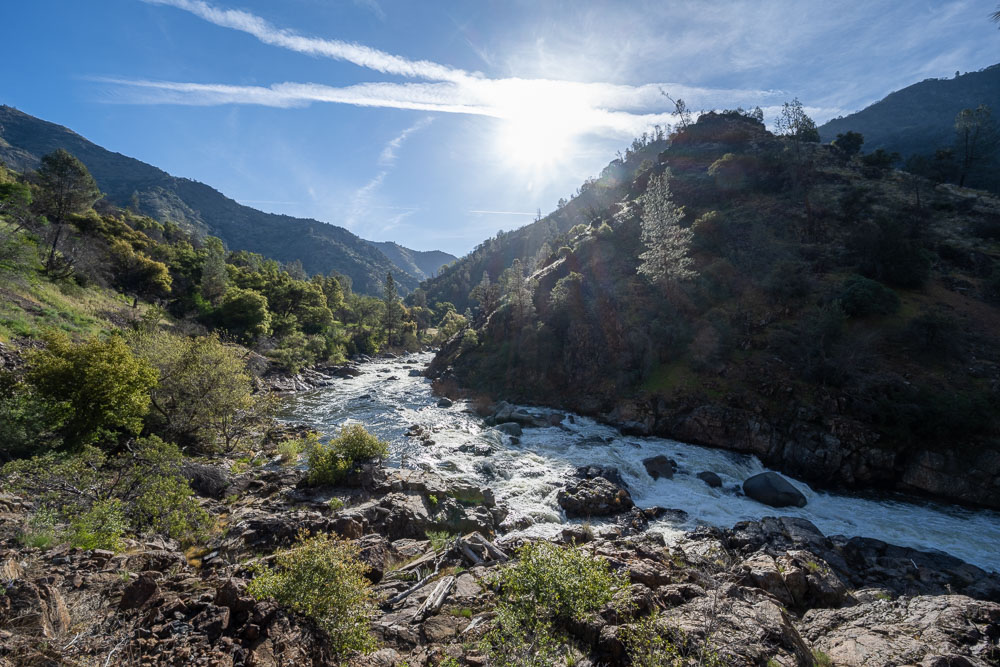
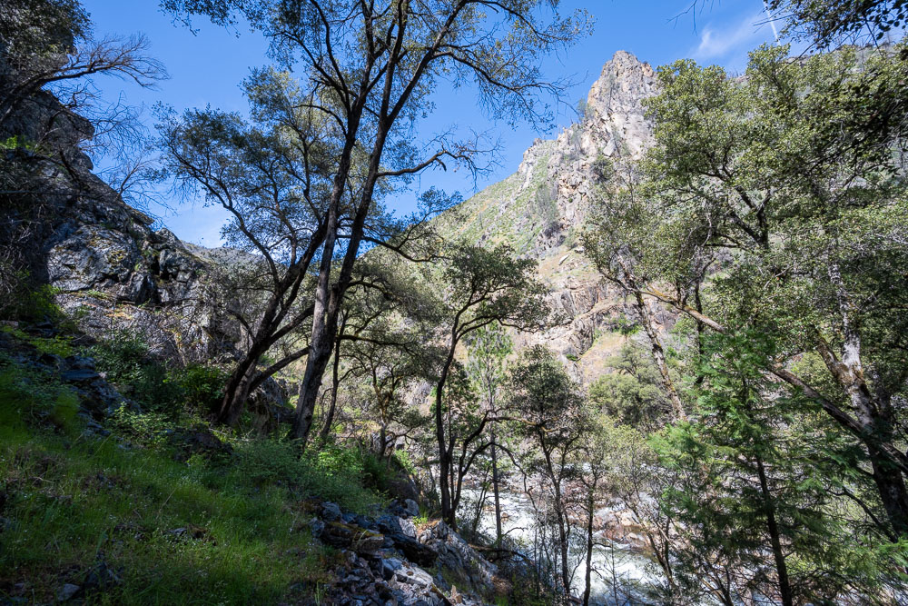
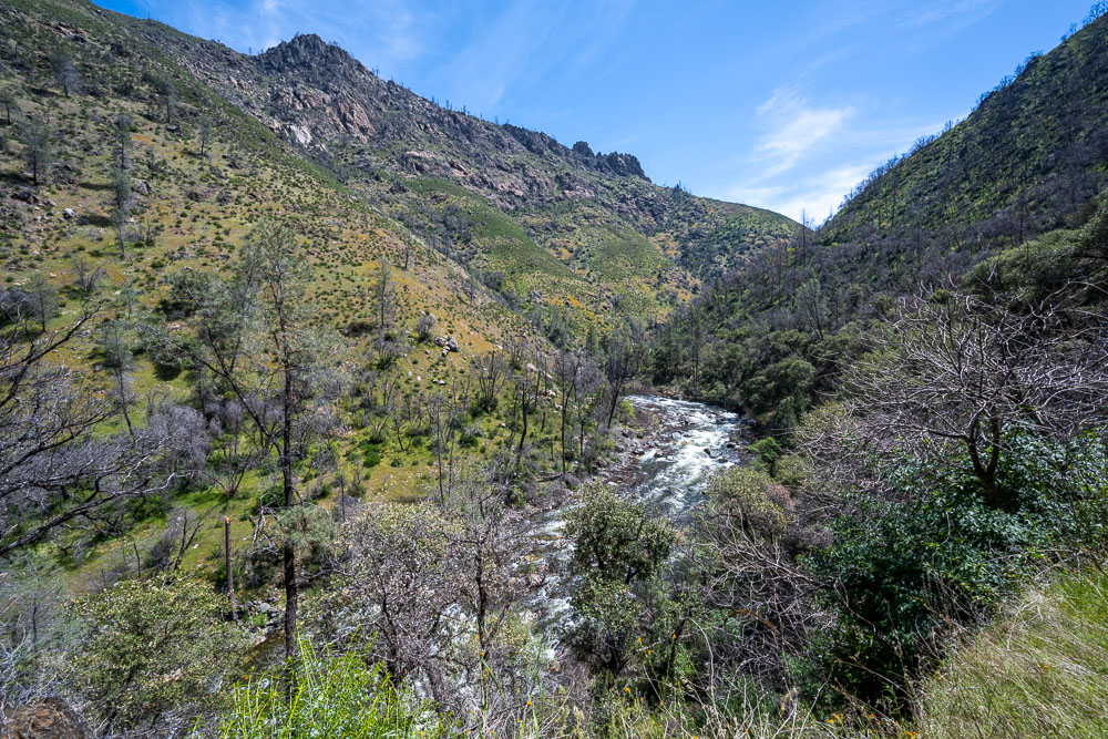
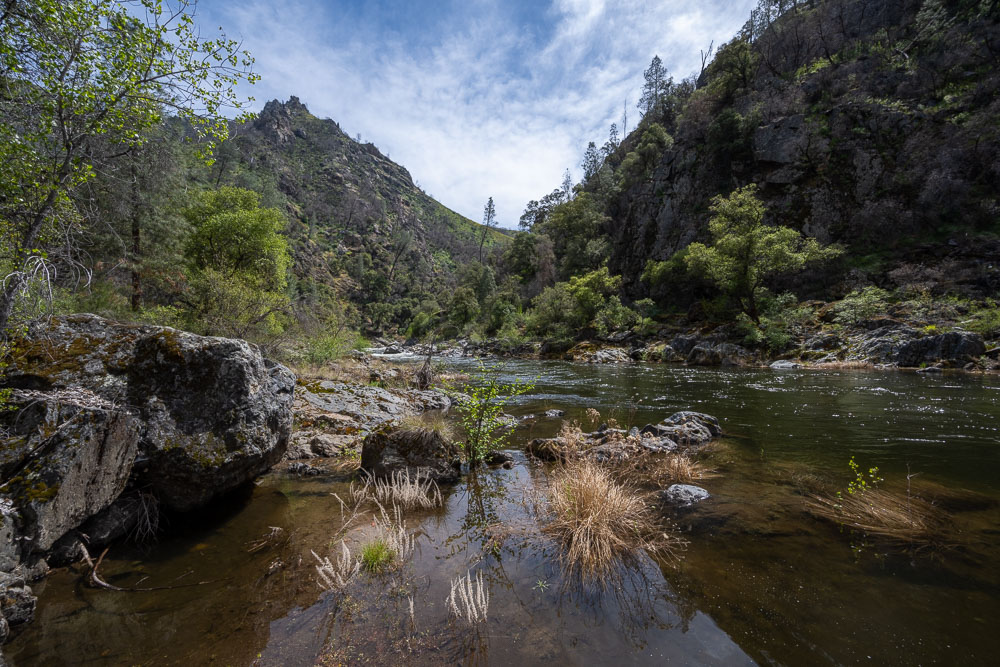
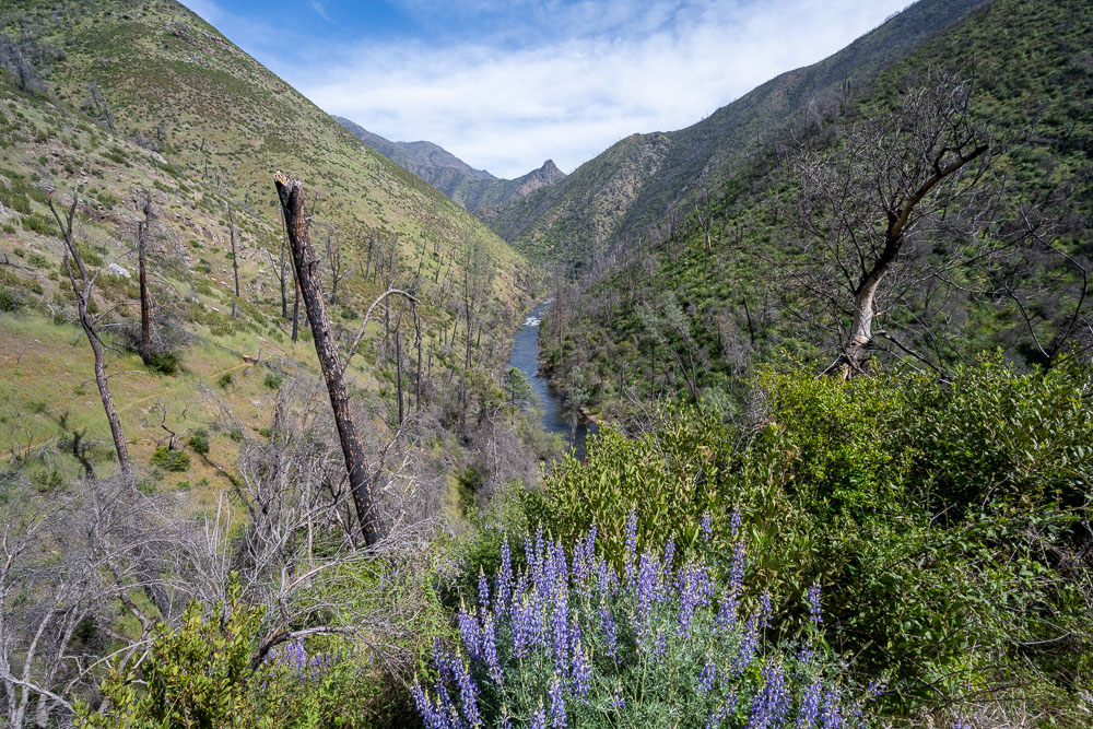
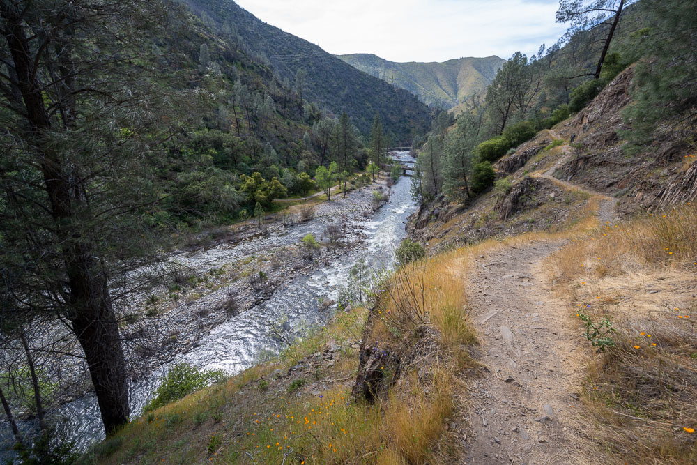
Following the South Fork Merced. This entire stretch of canyon has the Wild & Scenic designation. Unless there is some trail maintenance this will become a very wild canyon.
The old trail cut became easier to spot as I made my way down the canyon.
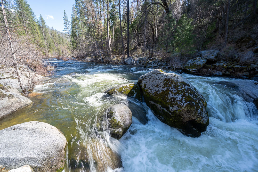
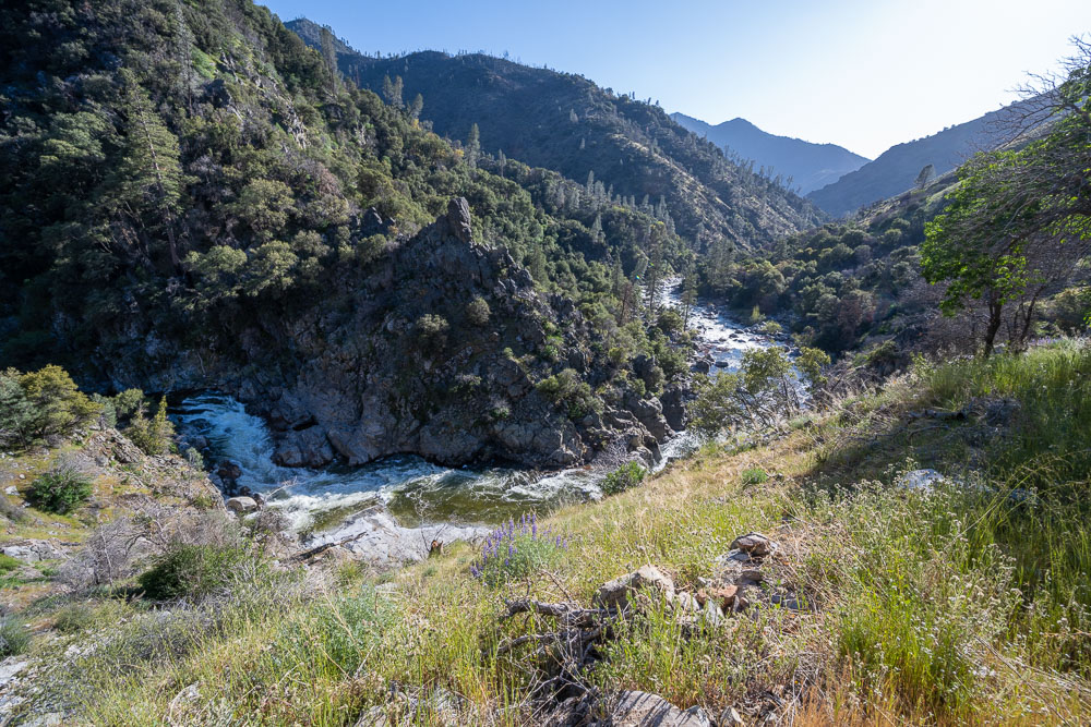
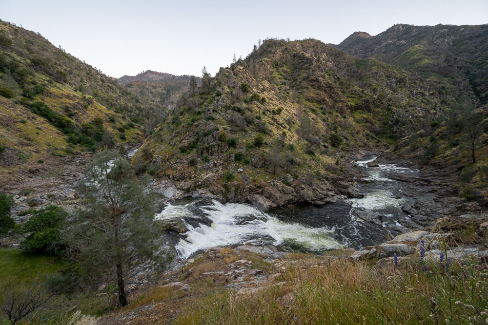
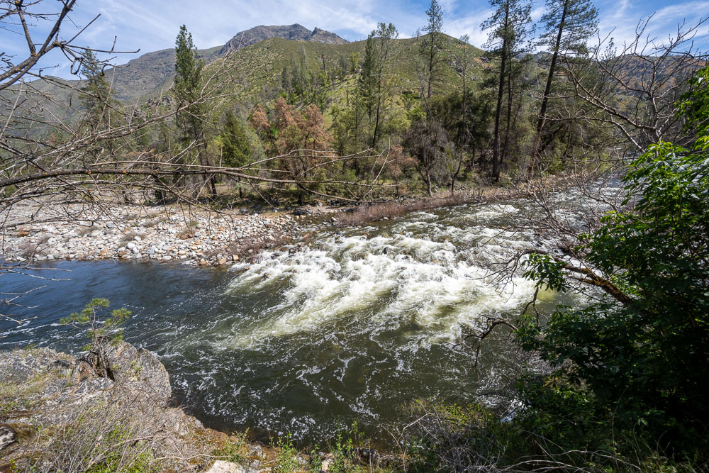
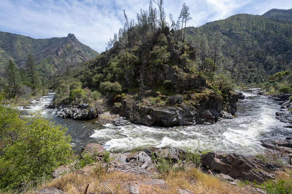
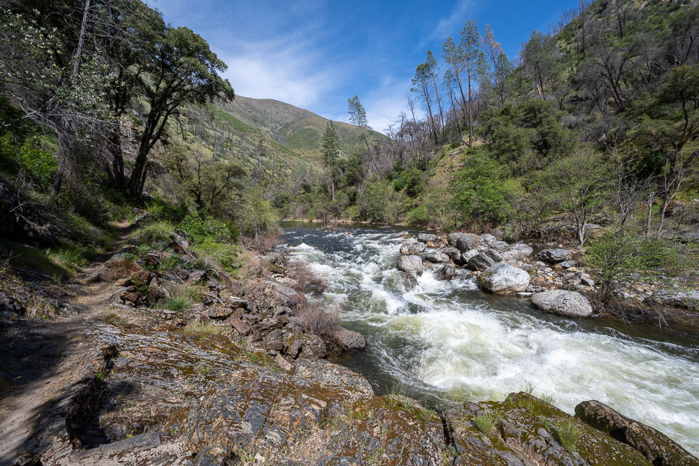
Big rapid at a bend in the river.
Another view of the rapid.
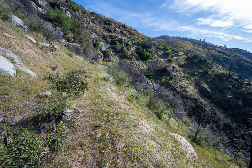
Trail cut above the river.
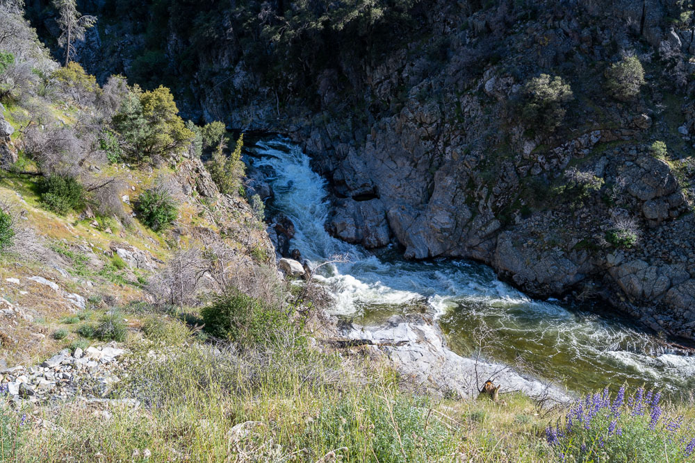
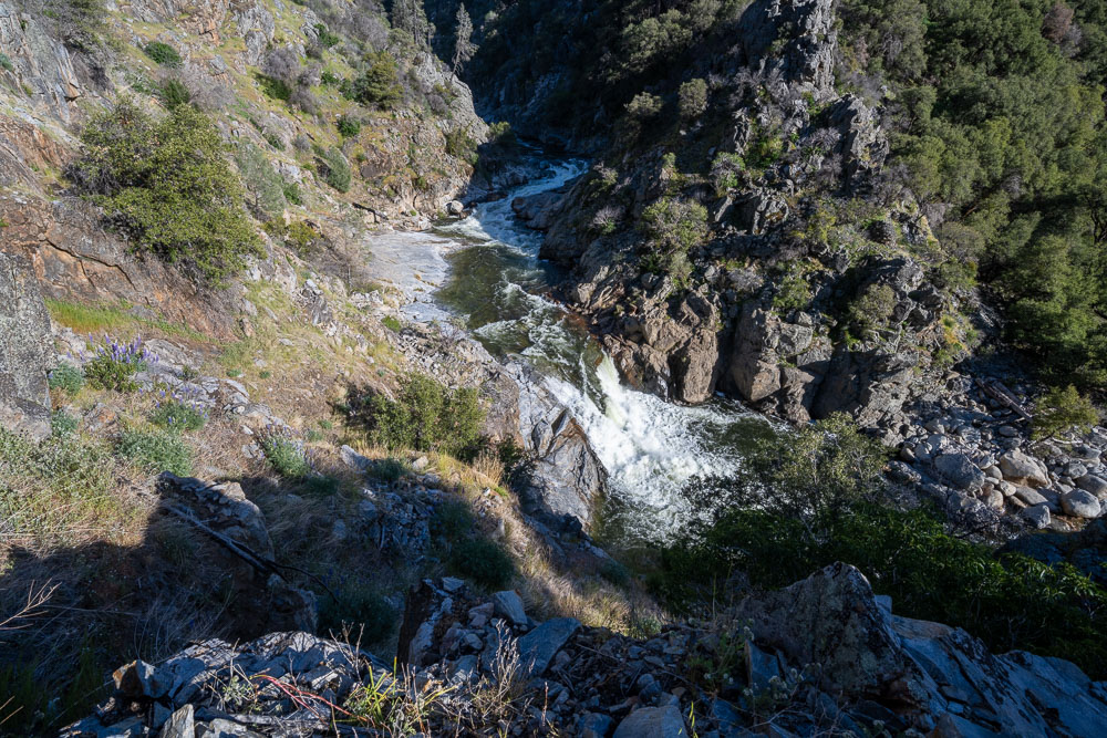
Waterfall rapid.
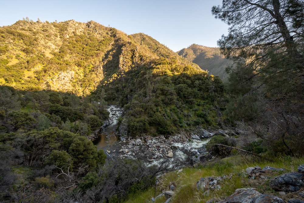
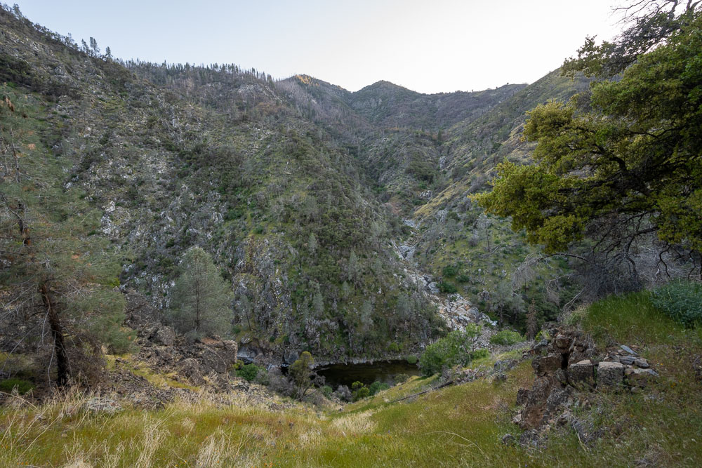
Continuing down the canyon.
Side canyon across the river.
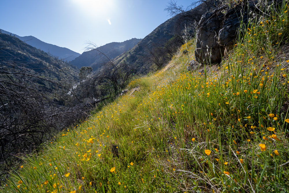
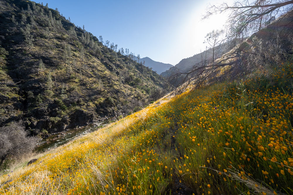
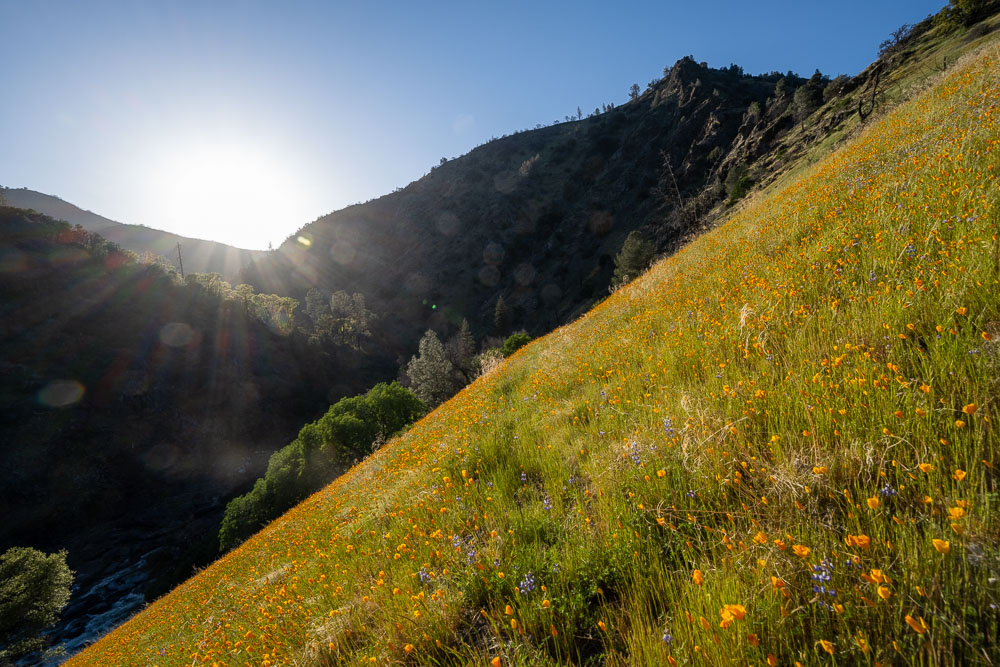
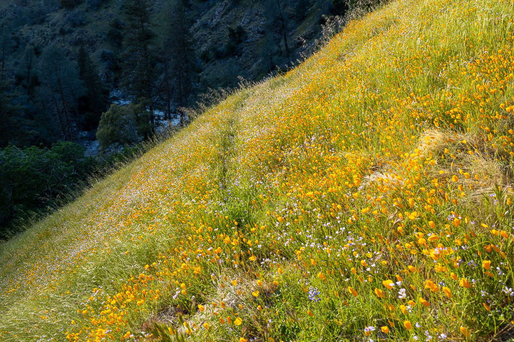
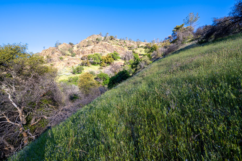
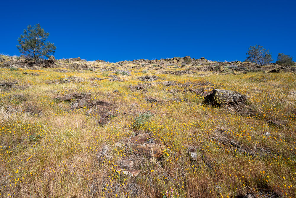
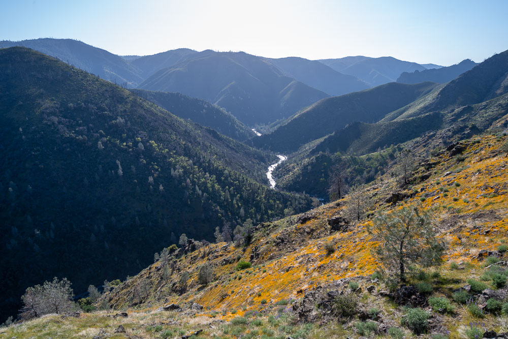
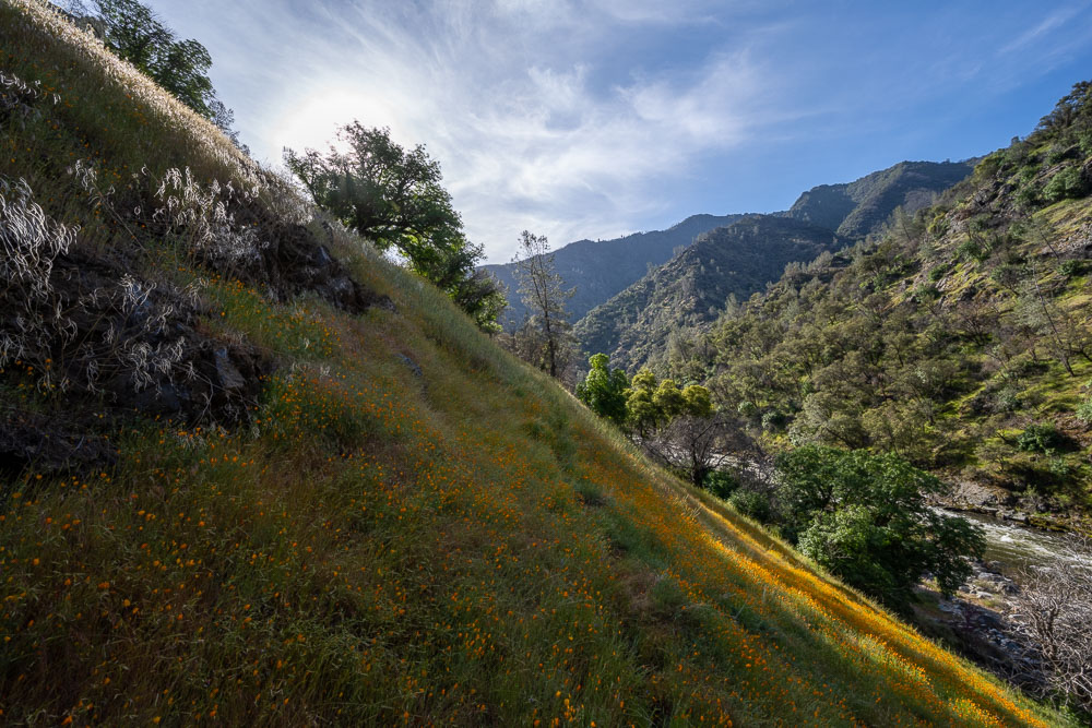
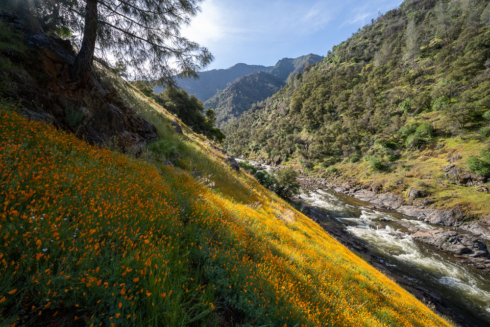
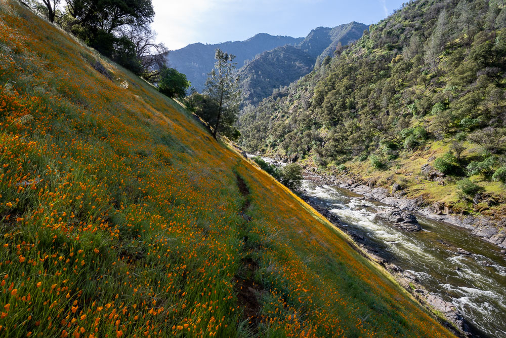
Hillside covered in poppies.
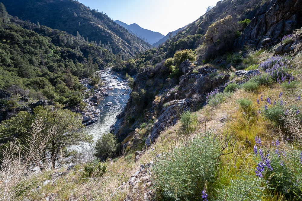
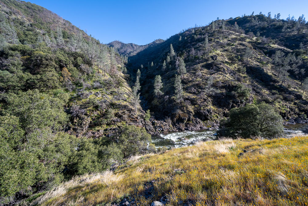
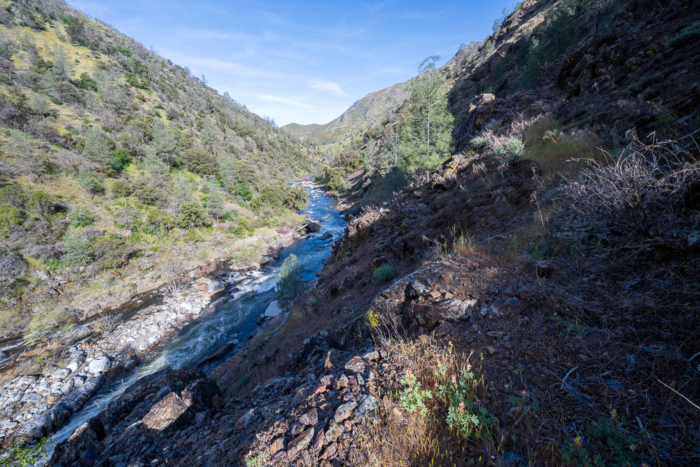
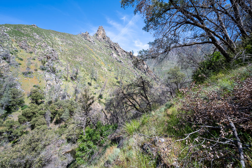
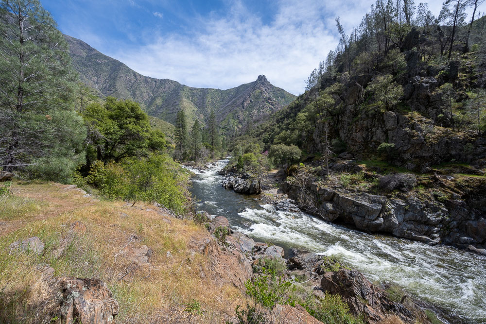
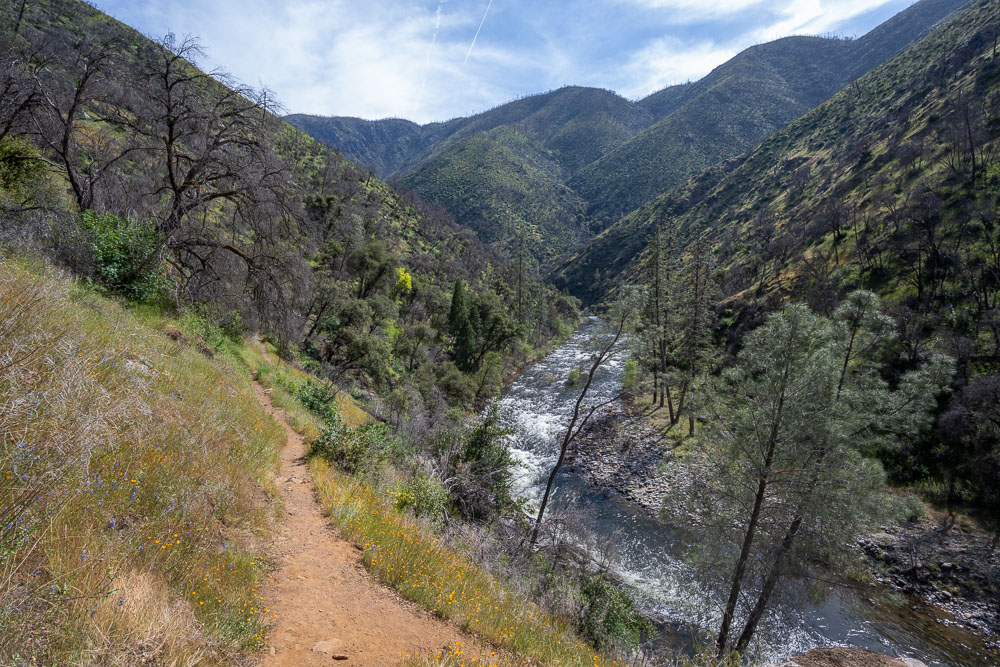
View up canyon.
View down canyon.
Another big rapid at a bend in the river.
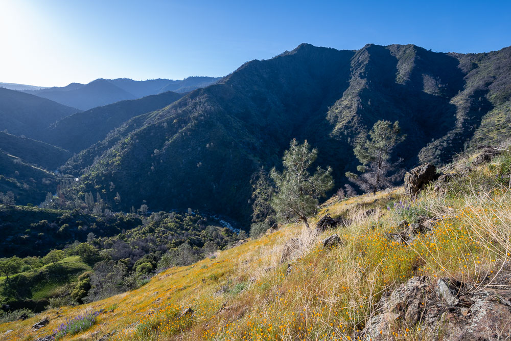
Long stretch across a hillside full of poppies.
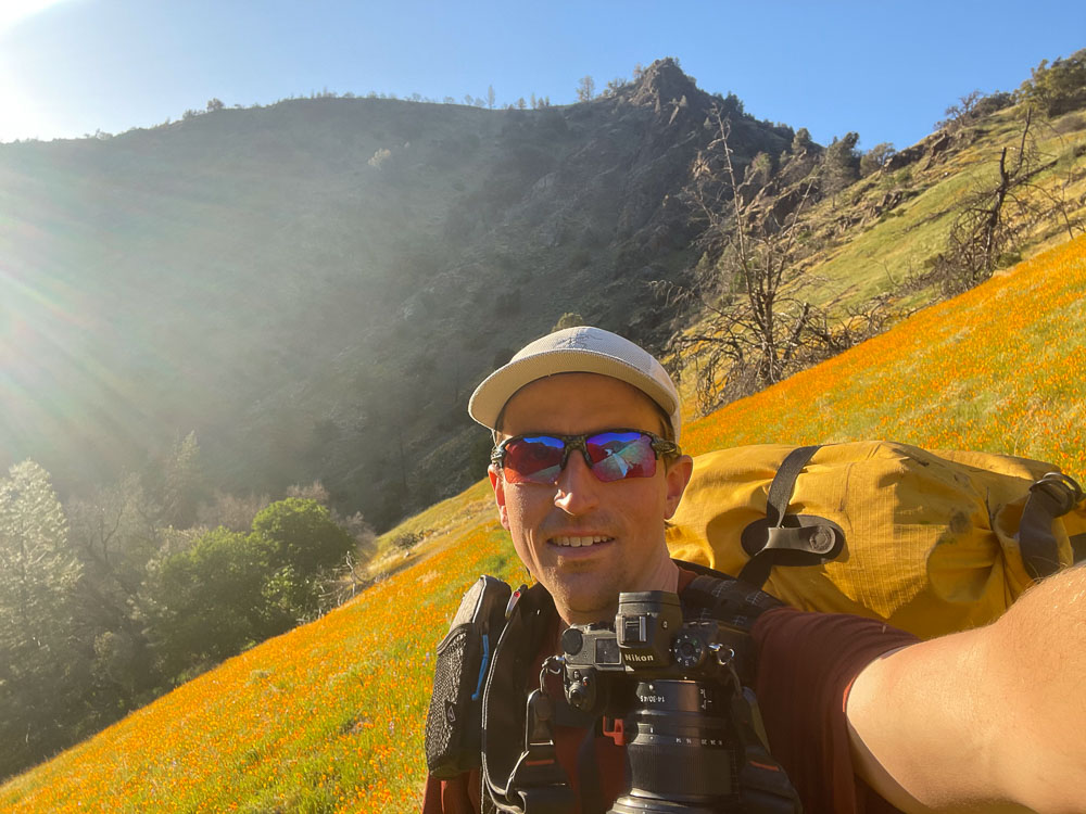
Selfie along the trail.
Old trail that is probably maintained more by animals these days.
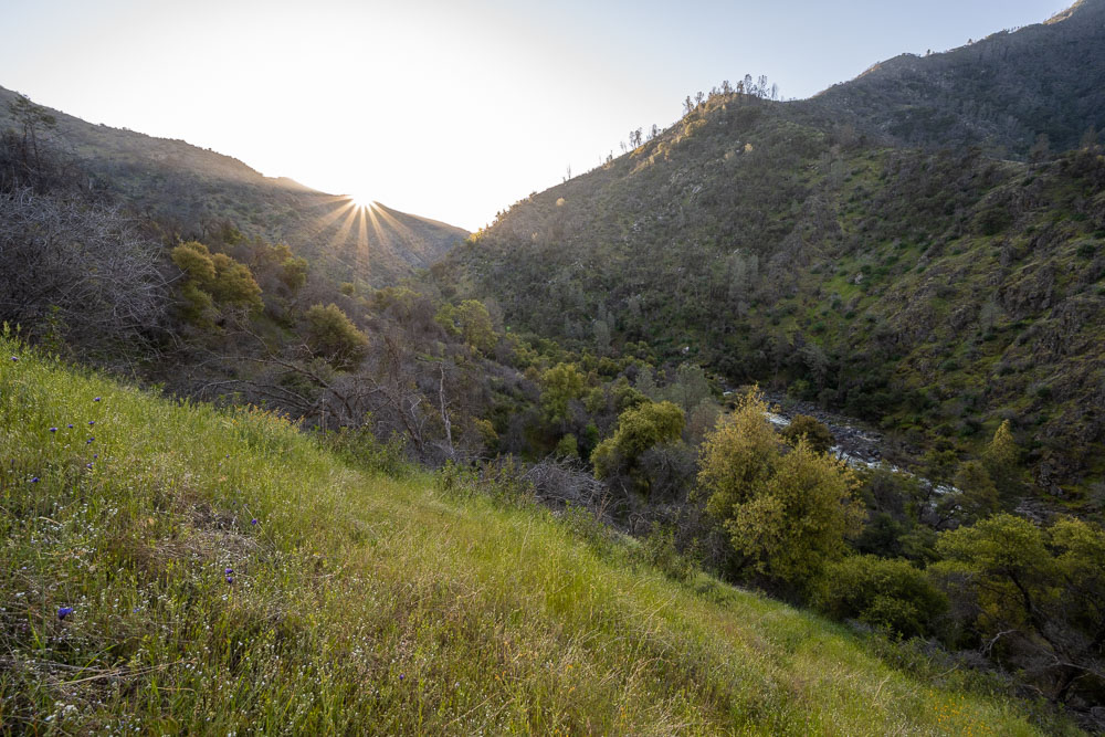
Sun starting to set. By this point I was expecting some headlamp time to get to camp.
Granite Creek on the other side of the river.
View down the canyon. Peachtree Bar was just around the bend in the distance.
The trail was easy to follow through a rocky section.
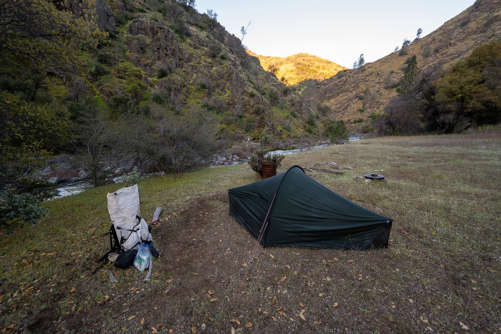
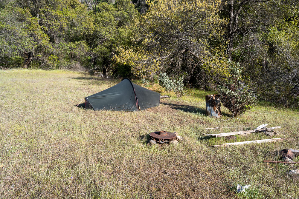
Campsite at Peachtree Bar. I was planning to spend another night at this campsite and do a dayhike up the ridge to a few peaks.
View up the canyon from just above camp.
Heading for the ridge.
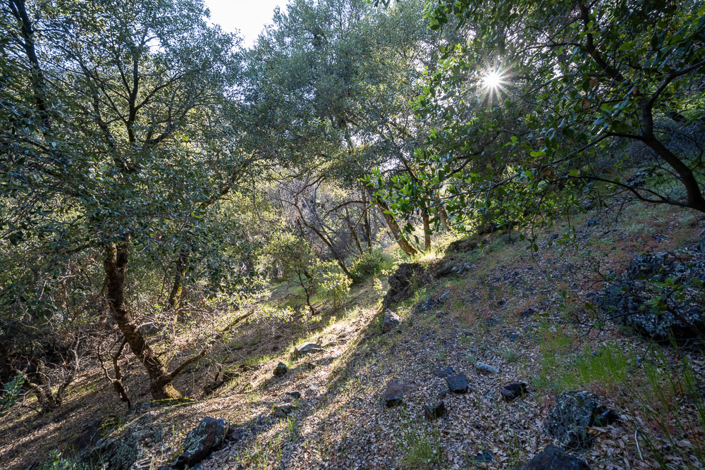
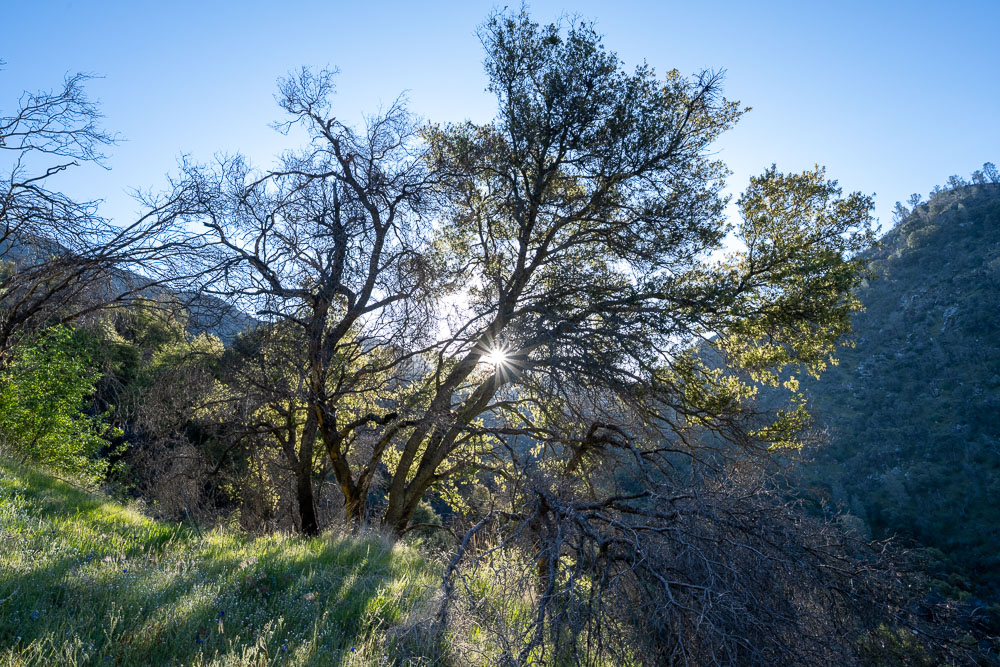
Sun coming through the trees.
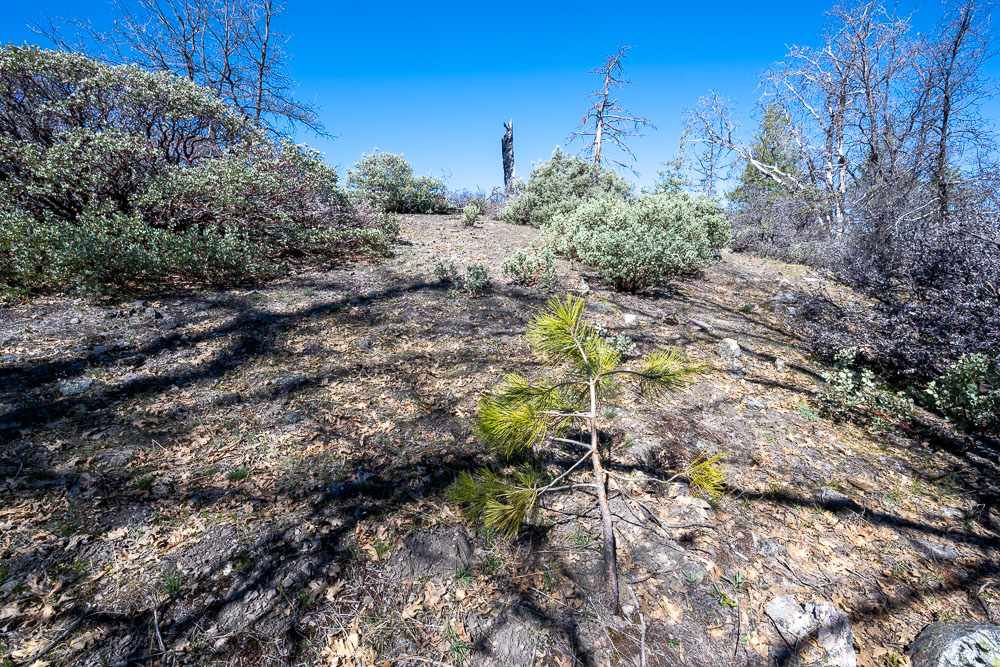
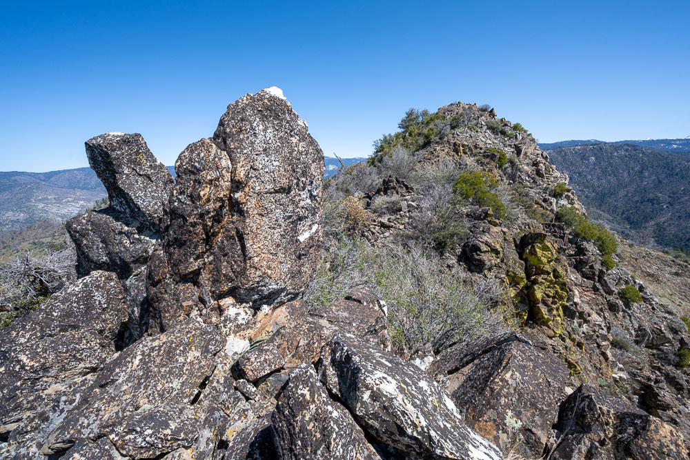
Pinoche Peak.
Flowers on the way up.
View back towards camp.
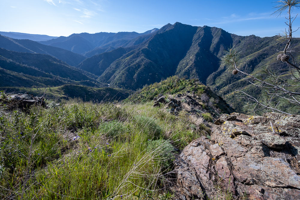
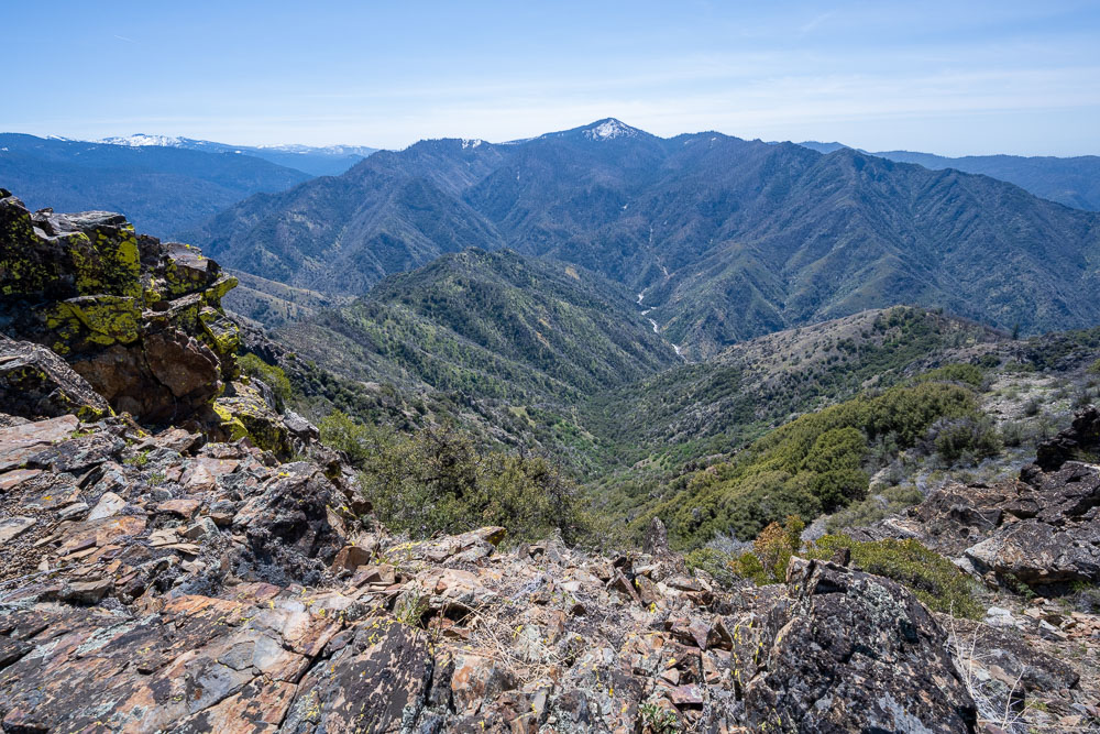
View up the canyon from the ridge.
Heading up the ridge.
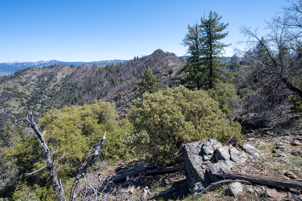
Chowchilla Mountain across the valley.
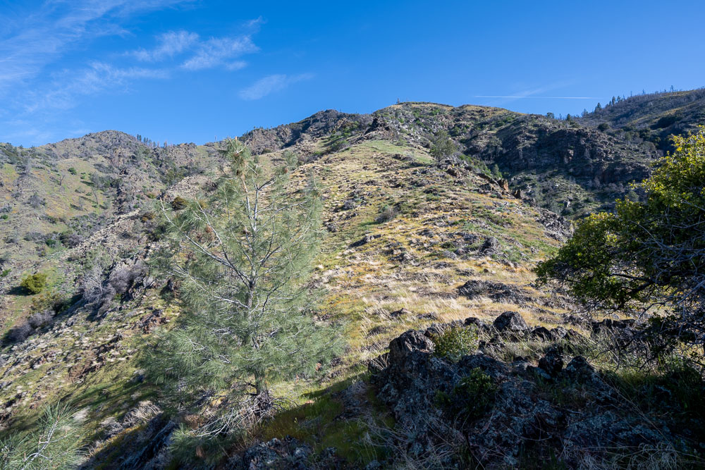
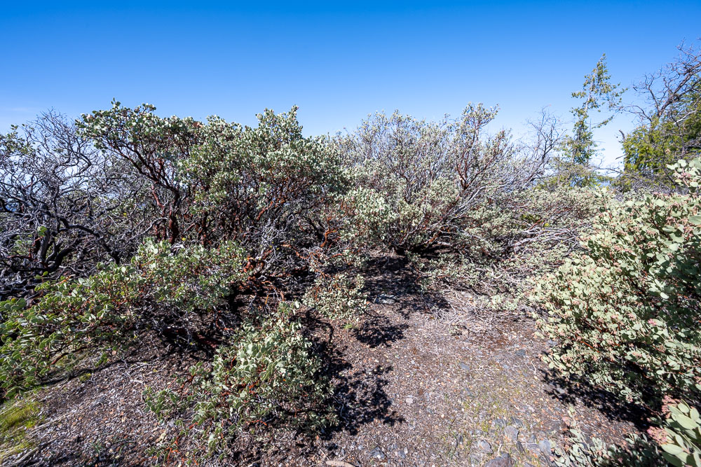
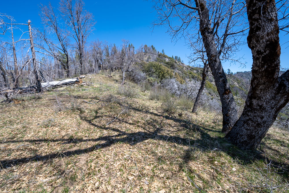
Mostly open along the ridge.
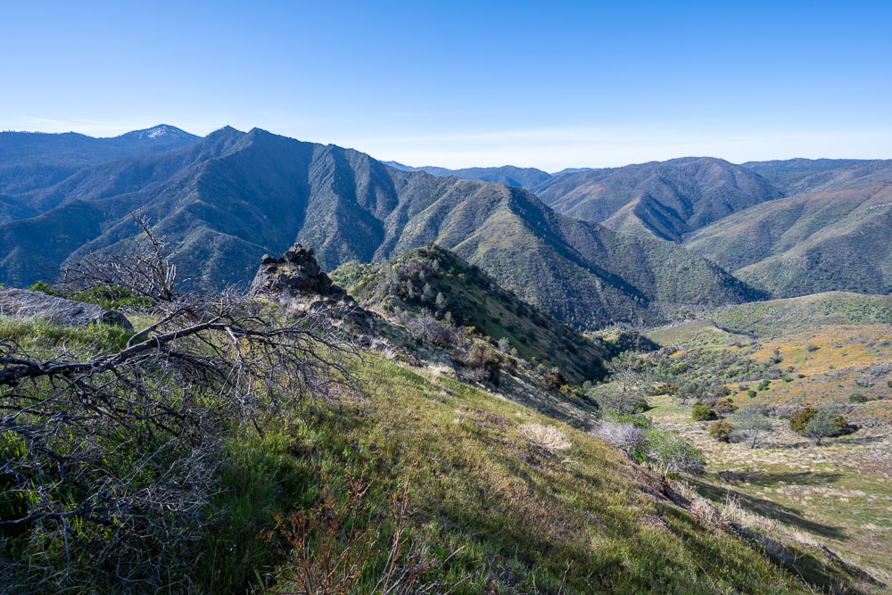
View down from higher up.
Road leading to an abandoned mine.
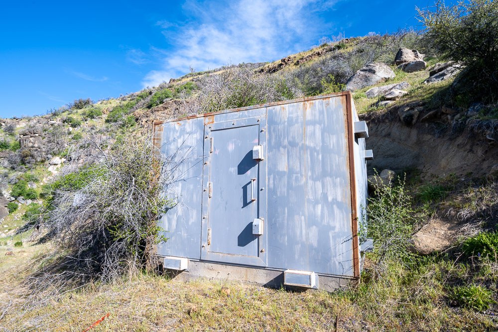
Well built storage container.
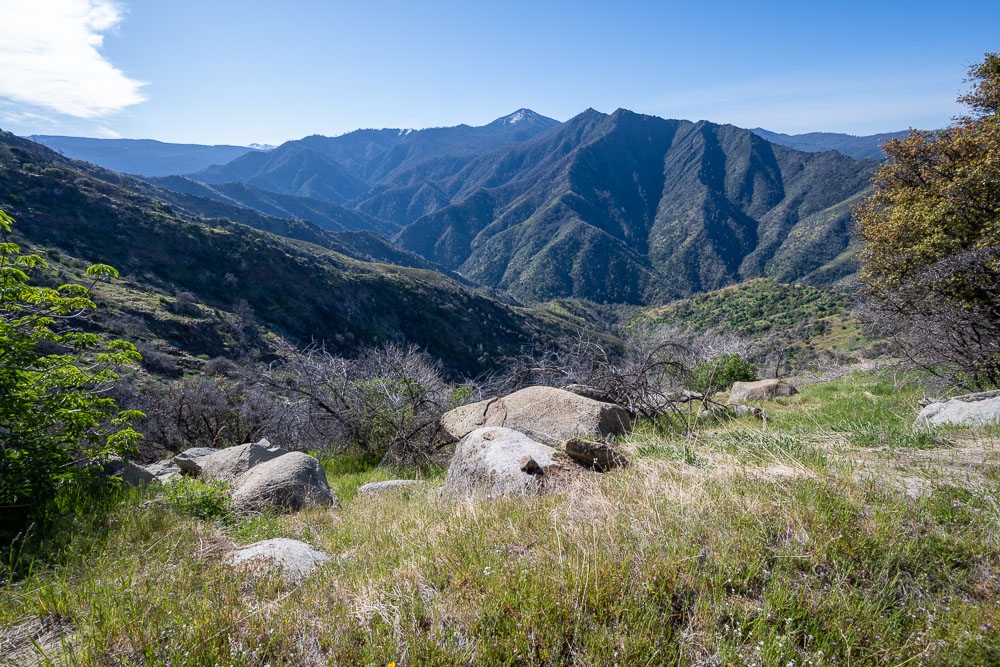
Chowchilla Mountain and Devil Peak.
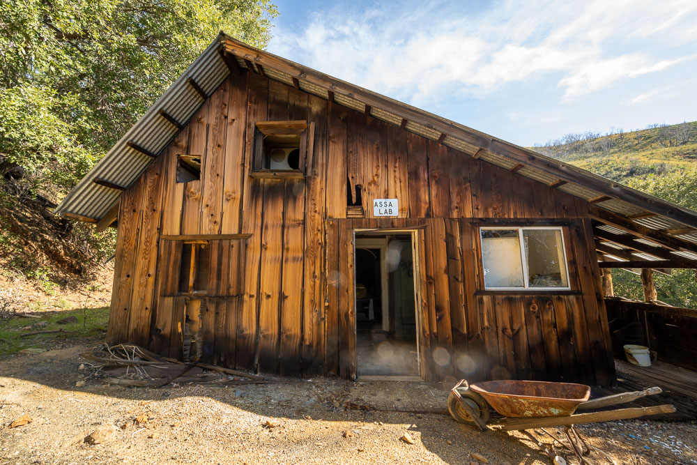
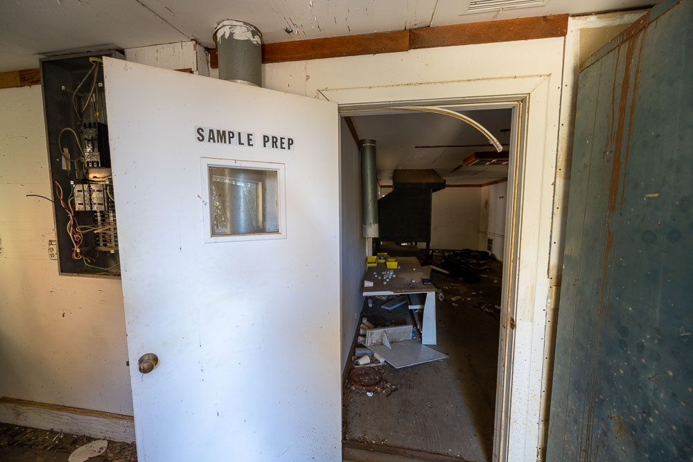
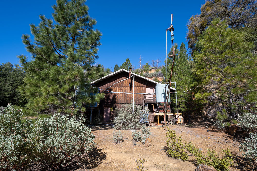
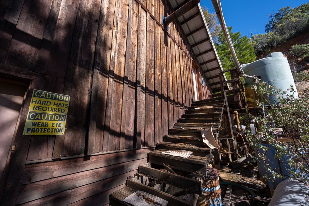
Abandoned assay lab building.
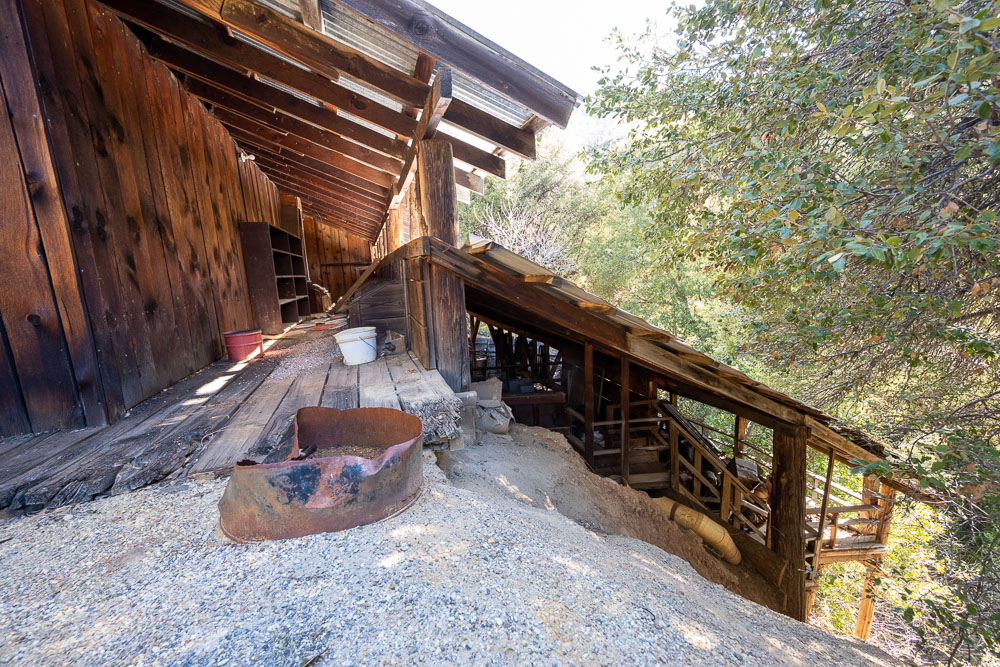
Impressive covered deck built into the hillside.
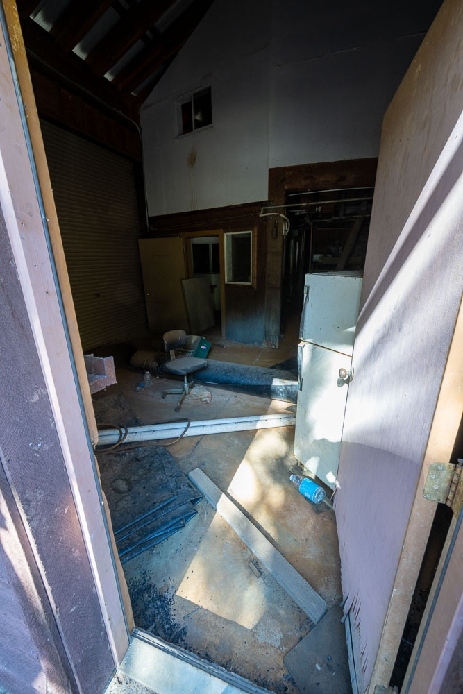
Checking out the inside of the building.
Writing on the wall for “mercury contaminated soil” and “toxic bulk”.
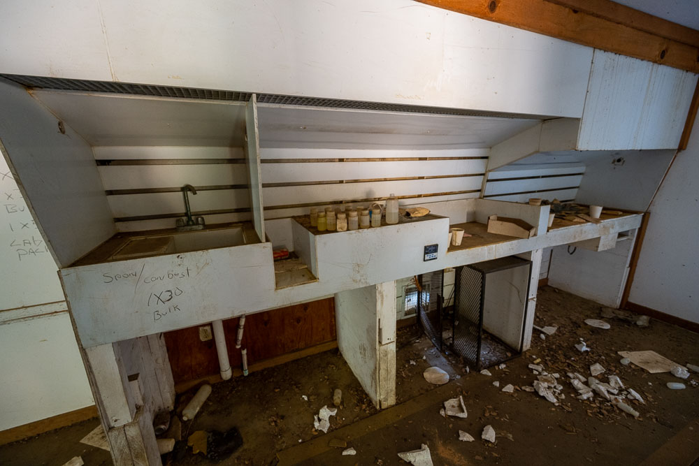
Sink with a bunch of partially filled bottles.
Sign marking daily production. There was a date in the lower corner from 1988.
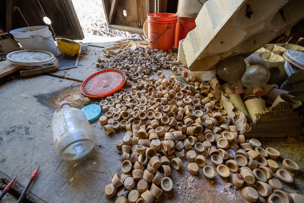
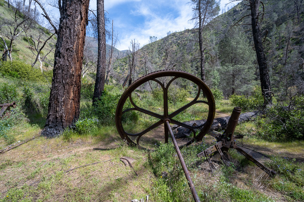
Mining equipment scattered across the floor.
A little further up the road there were several more buildings. A significant amount of money had been invested in the mine but it seemed to have been abandoned in a hurry.
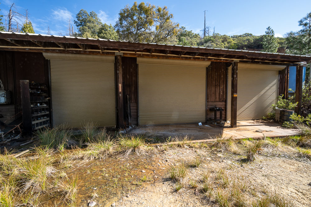
Another mining building.
View inside the building.
Stairs leading to the second story.
I followed the road above the mine up toward Brown Peak.
Clearing near Brown Peak.
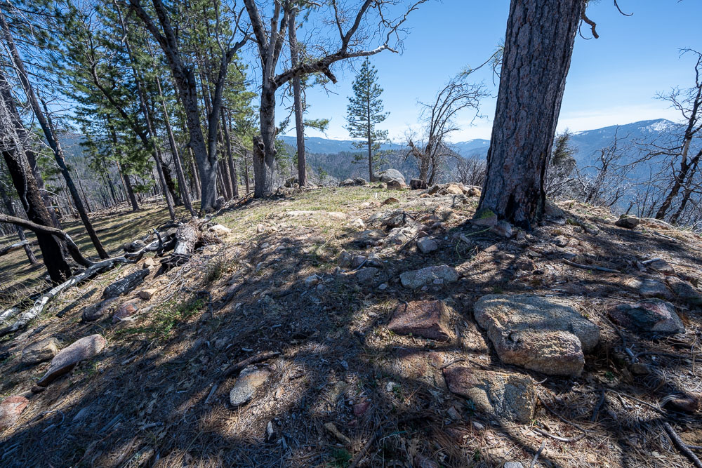
Summit of Brown Peak.
Following the ridge to Pinoche Peak.
Pinoche Peak in the distance.
Getting close to the summit.
Summit ahead.
Devil Peak to the south.
Summit register.
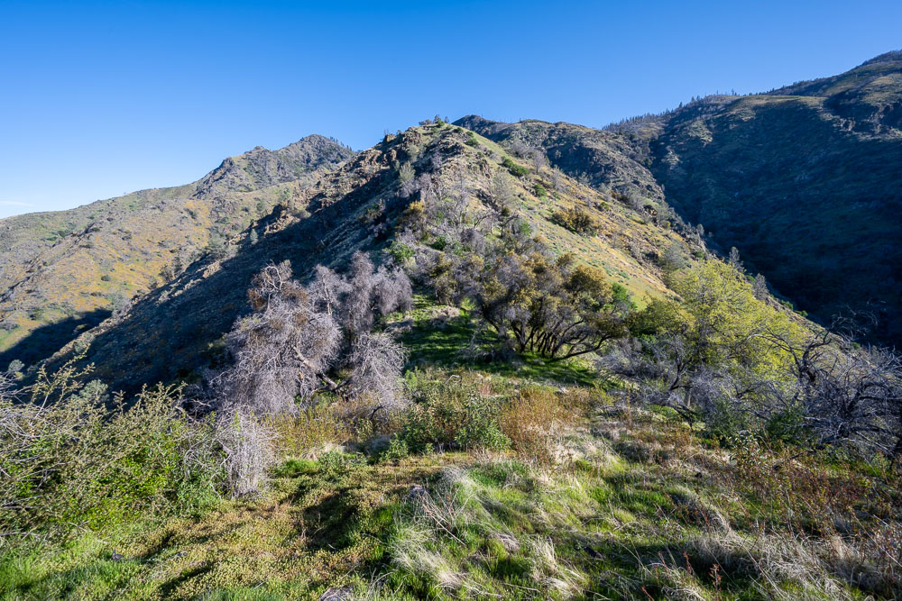
Continuing over to the highpoint of Henness Ridge.
Big tree on the ridge.
Dropping down to Cathewood Saddle.
Final stretch to the summit.
Highpoint of Henness Ridge.
Back at the assay lab.
On the way back I continued down the road to check out a mine shaft.
The mine shaft only went back a few feet.
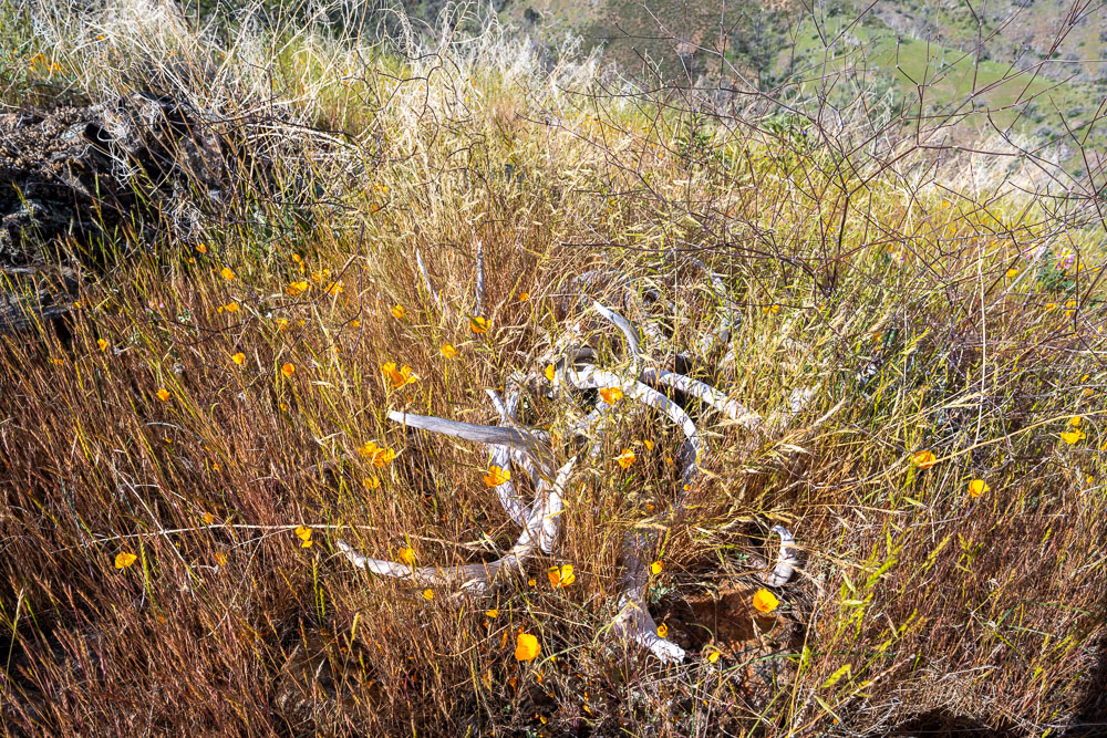
Deer antlers stashed in a remote spot on the ridge.
View down the canyon.
Back down near the river.
Camp at Peachtree Bar.
Day 3: Peachtree Bar to Highway 140
10.0 Miles, 2450 Gain
Packing up camp in the morning.
Rapid just below Peachtree Bar.
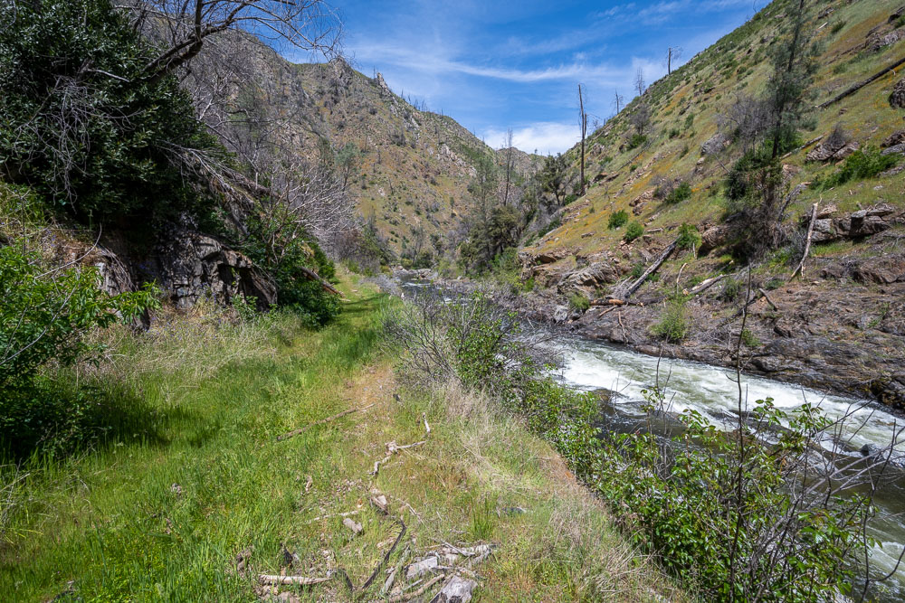
Heading down the canyon.
Nice section with lots of poppies.
More poppies a bit further down the canyon.
Poppies and the south fork.
The trail was easy to follow in places.
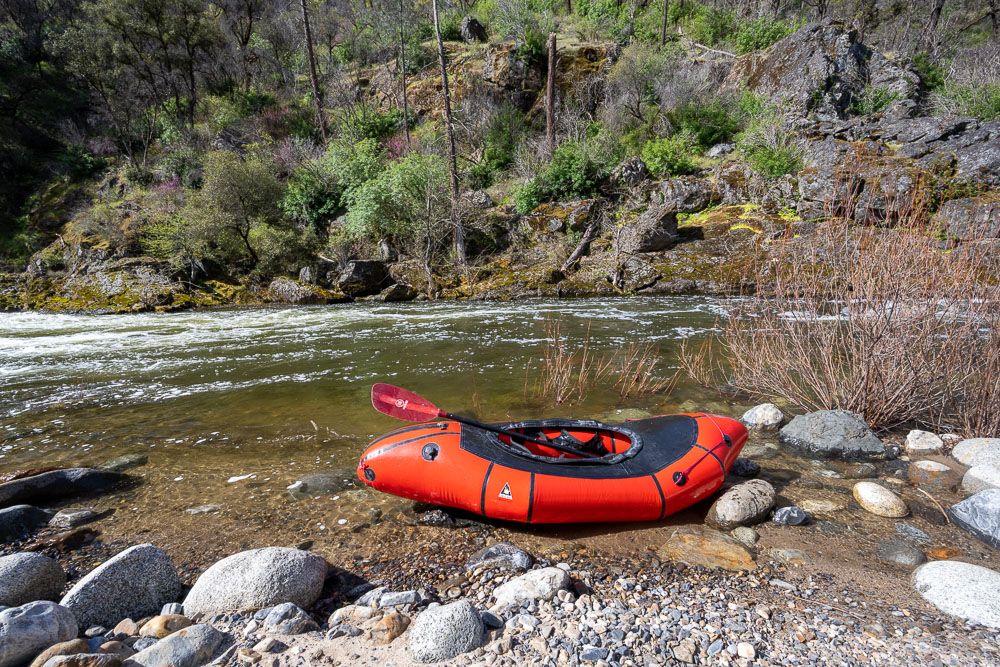
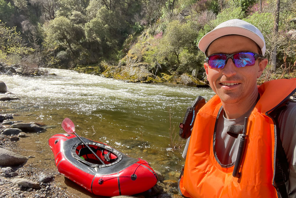
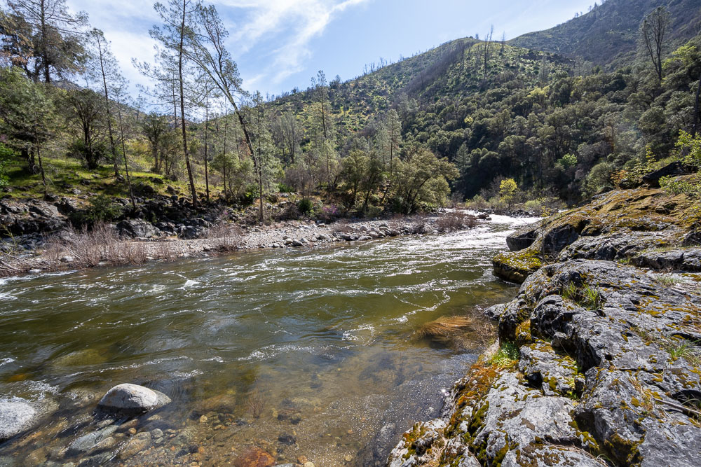
The first of two river crossings. There wasn’t any whitewater at the crossing but the river was moving swiftly. Just downstream from the crossing was a long rapid that stretched around the corner.
Getting the packraft ready.
Selfie with the packraft.
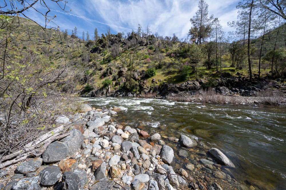
On the far side of the crossing.
Start of the rapid just downstream from the crossing.
It became impossible to avoid the poison oak after the crossing.
Creek crossing at Devil Gulch. A few months after I got home I read a news story of a family that mysteriously died in this area. A husband, wife, one year old child, and dog were all found dead. Their death may have been related to an algae bloom in the water. I didn’t take a water filter with me on this trip so I may have gotten lucky to avoid getting infected.
Another view up Devil Gulch.
Rapid below Devil Gulch.
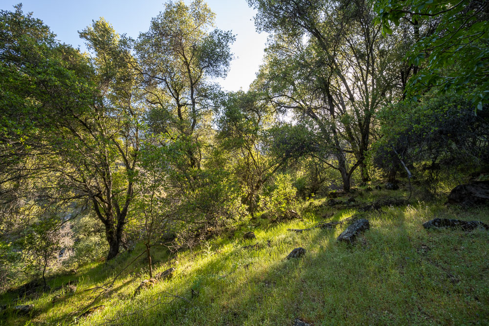
Thick forest just above the trail.
Rocky point called Casa Diablo.
There was some nice trail work near Casa Diablo to get by some cliffs.
View back to Casa Diablo.
Thick bushwhack. Someone had flagged the trail which helped in a few spots.
View up canyon.
Nasty bushwhack in the vicinity of Marble Point.
Following the Hite Cove OHV road.
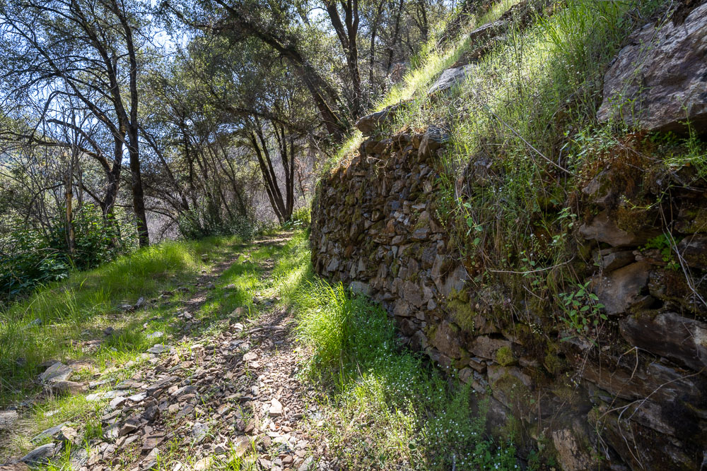
Old stone retaining wall along the road.
View up canyon.
Crossing Nutmeg Gulch.
The OHV road followed right next to the river. It was a hot afternoon so I stopped for a swim.
Final river crossing before reaching the popular Hite Cove trail.