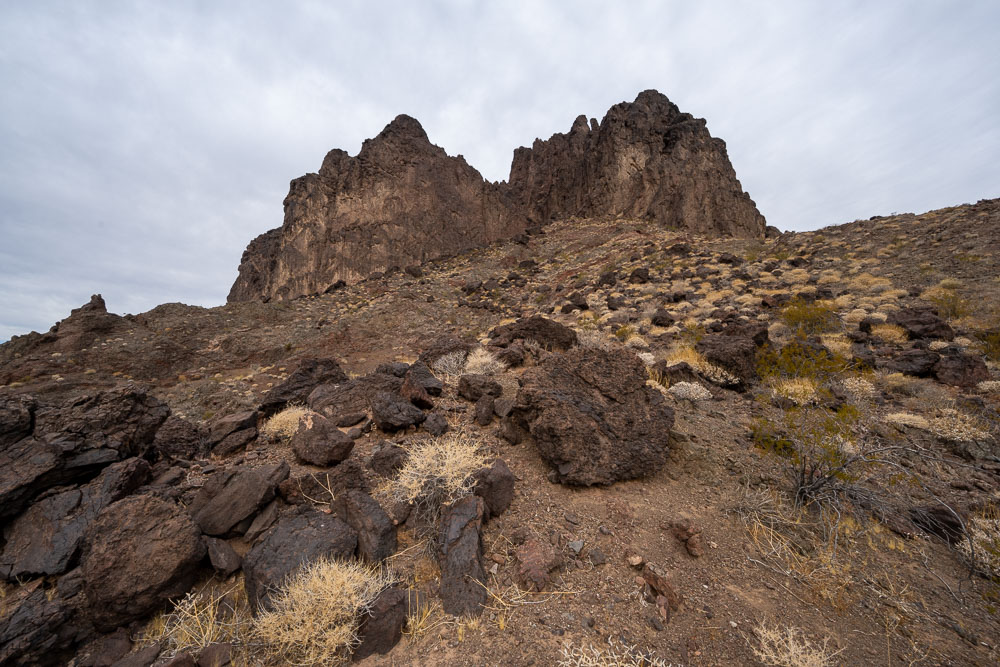
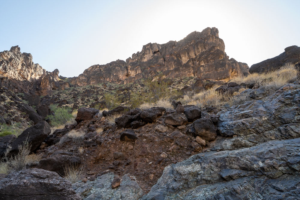
I followed the same route that Bob and company had used to get up through the cliff band.
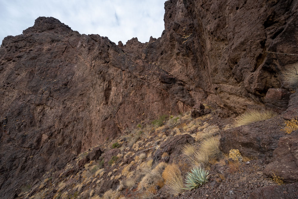
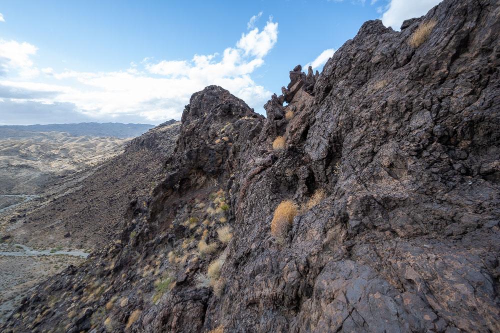
Some rocks had been placed at the bottom to help overcome a small overhang. Above the overhang there was about 50ft of Class 4 before reaching easier ground.
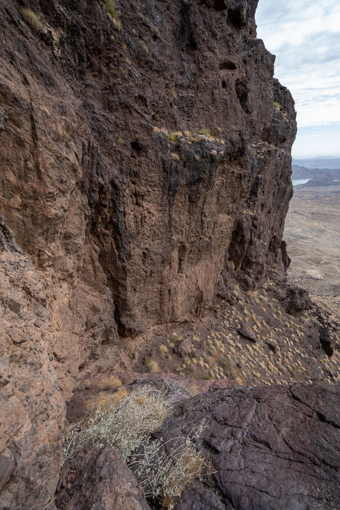
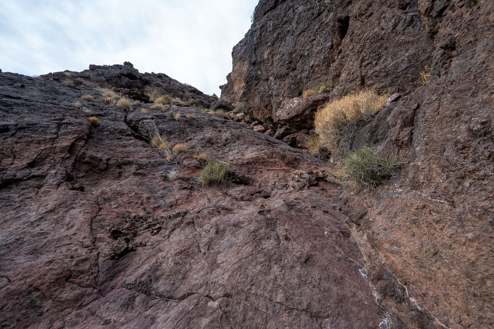
View down the Class 4 section.
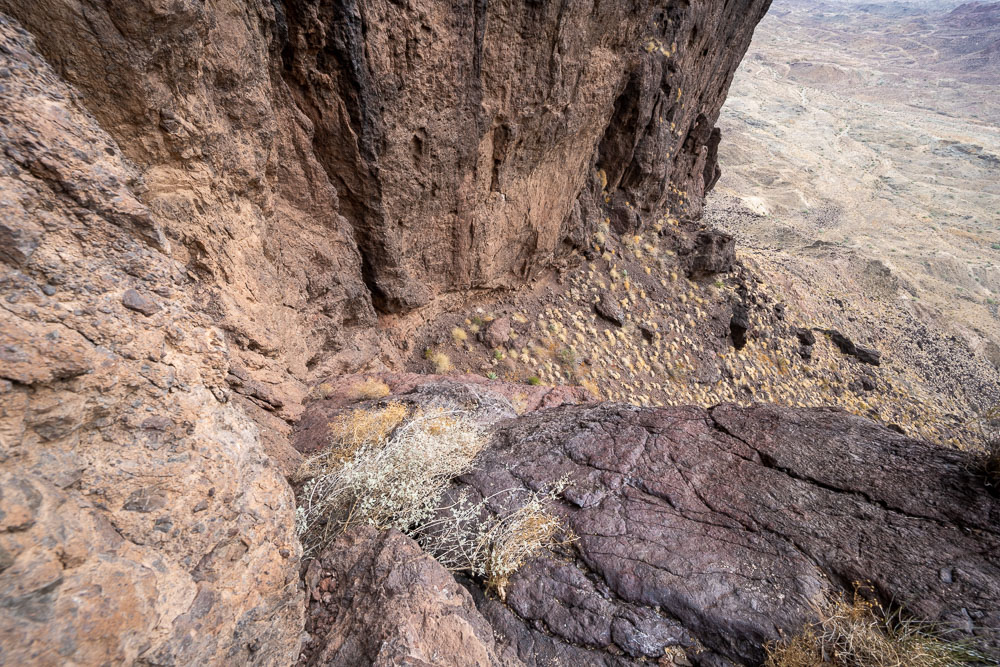
Another view down the Class 4 section from higher up.
Easier scrambling the rest of the way.
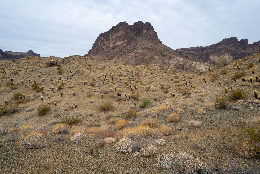
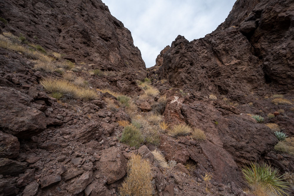
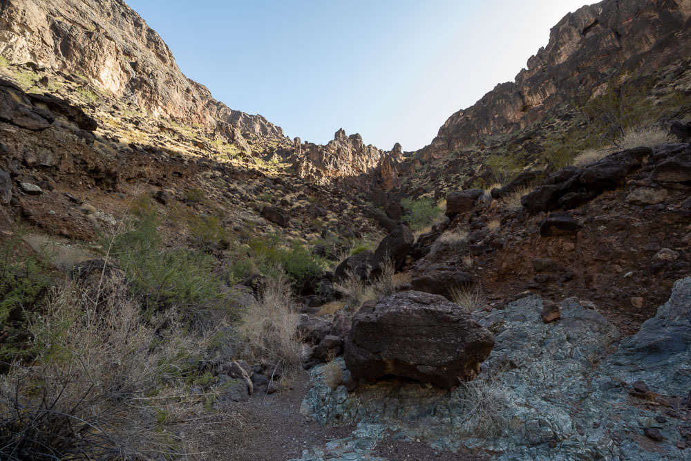
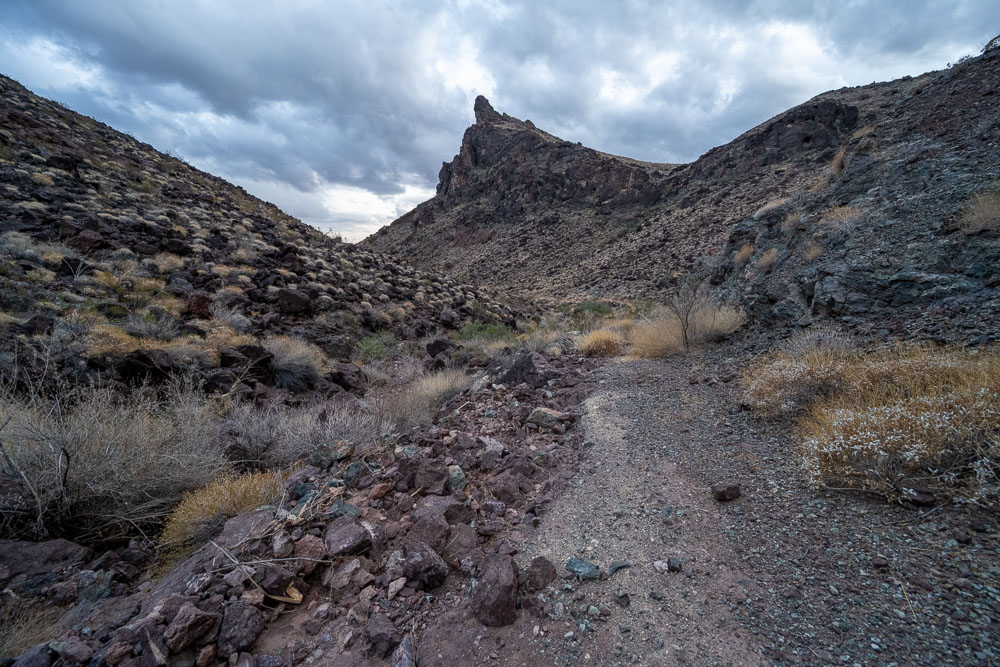
Small canyon leading up to the summit.
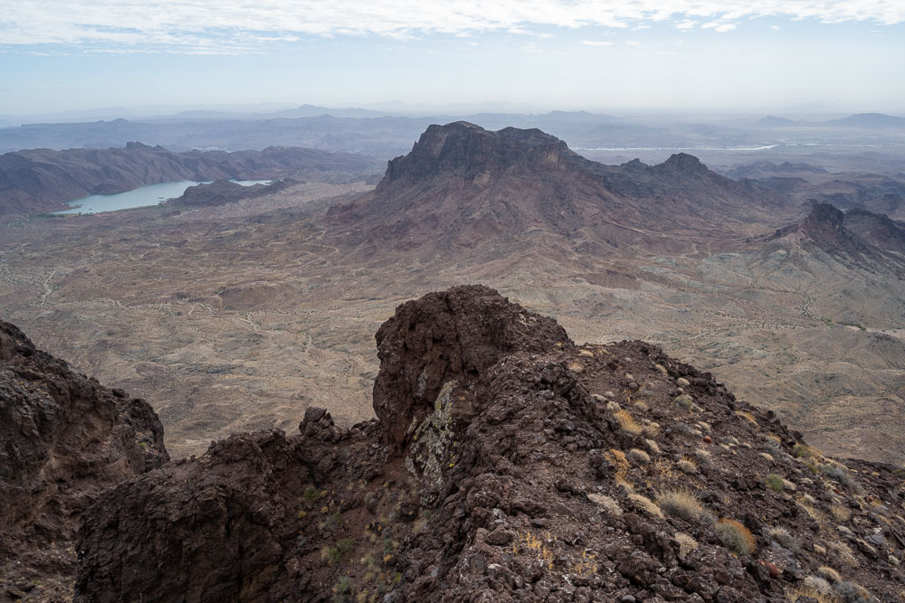
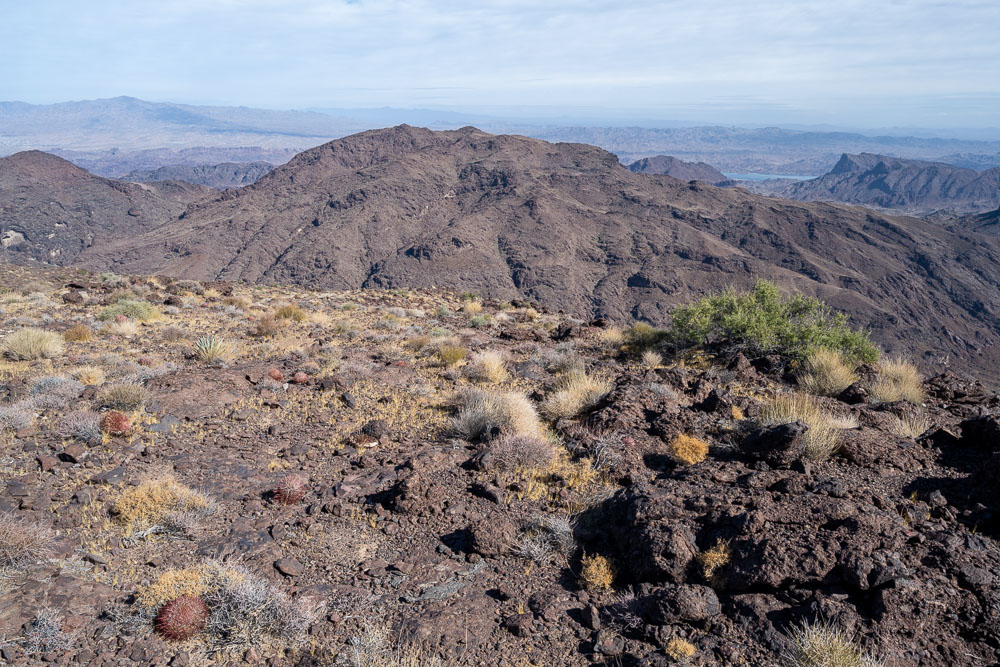
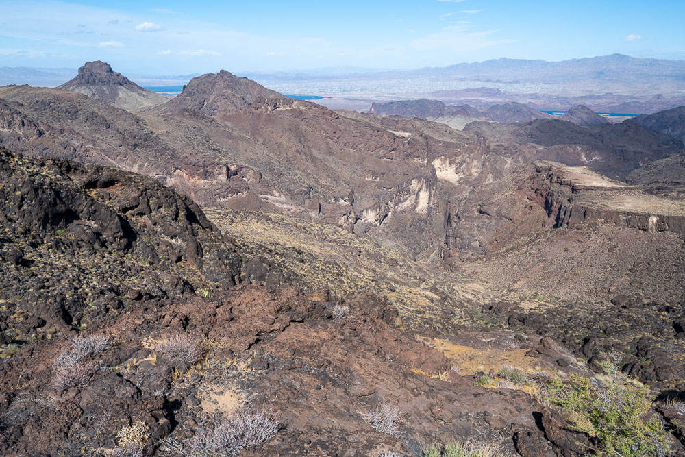
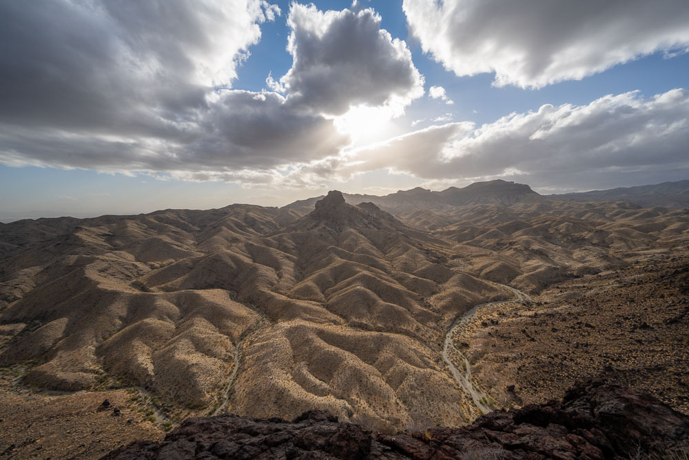
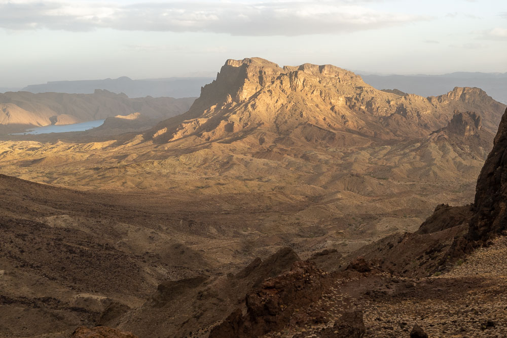
Copper Mountain to the east.
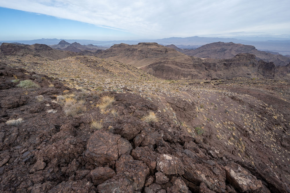
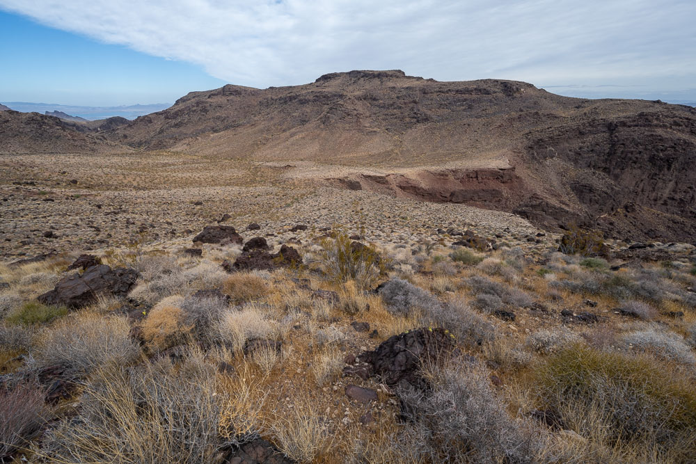
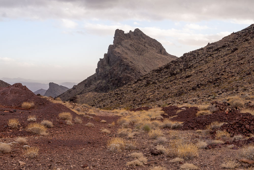
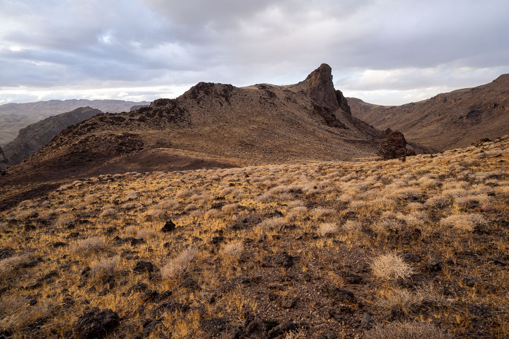
Peak 2922 to the north, the next peak in the loop.
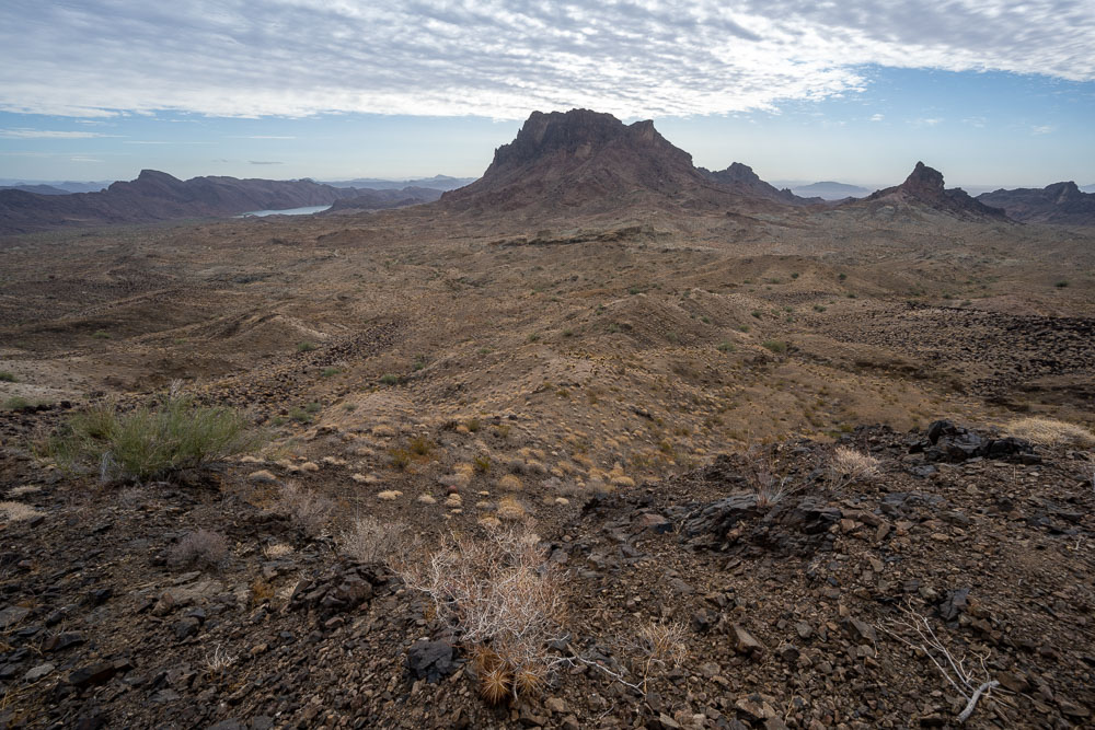
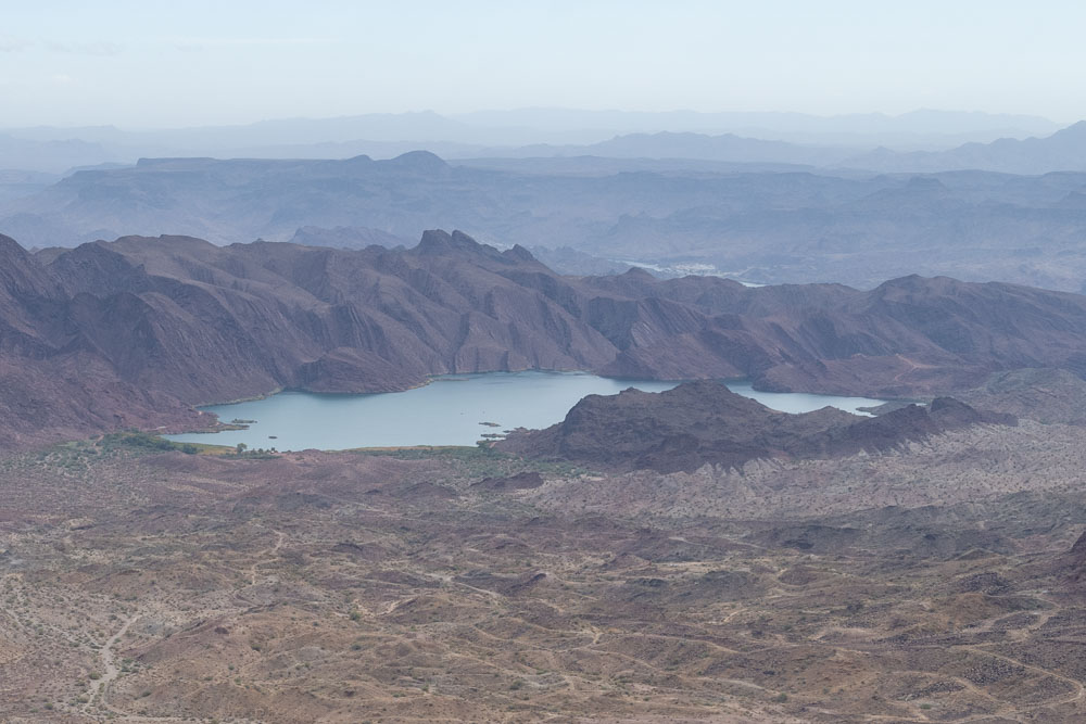
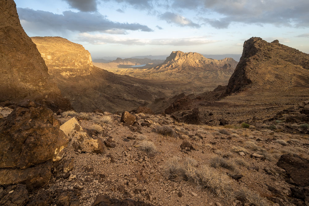
Copper Basin Reservoir in the distance.
Approaching Peak 2922.
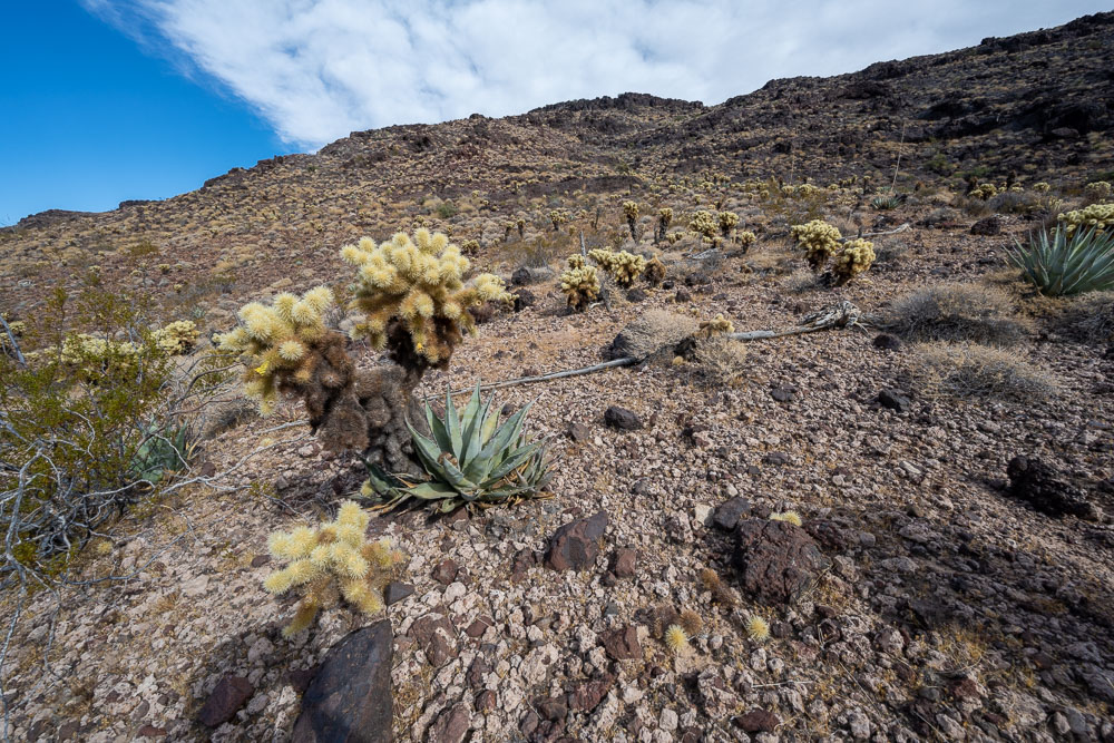
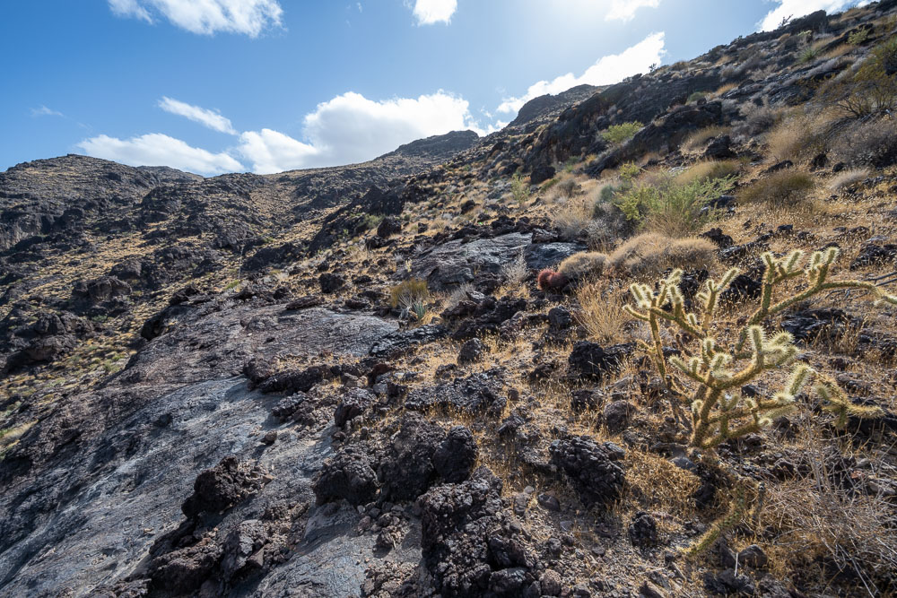
Some cholla cactus on the way to the summit.
View back to Peak 3012. As an alternative to the Class 4 route, there is also a Class 2/3 route that skirts below the cliff band.
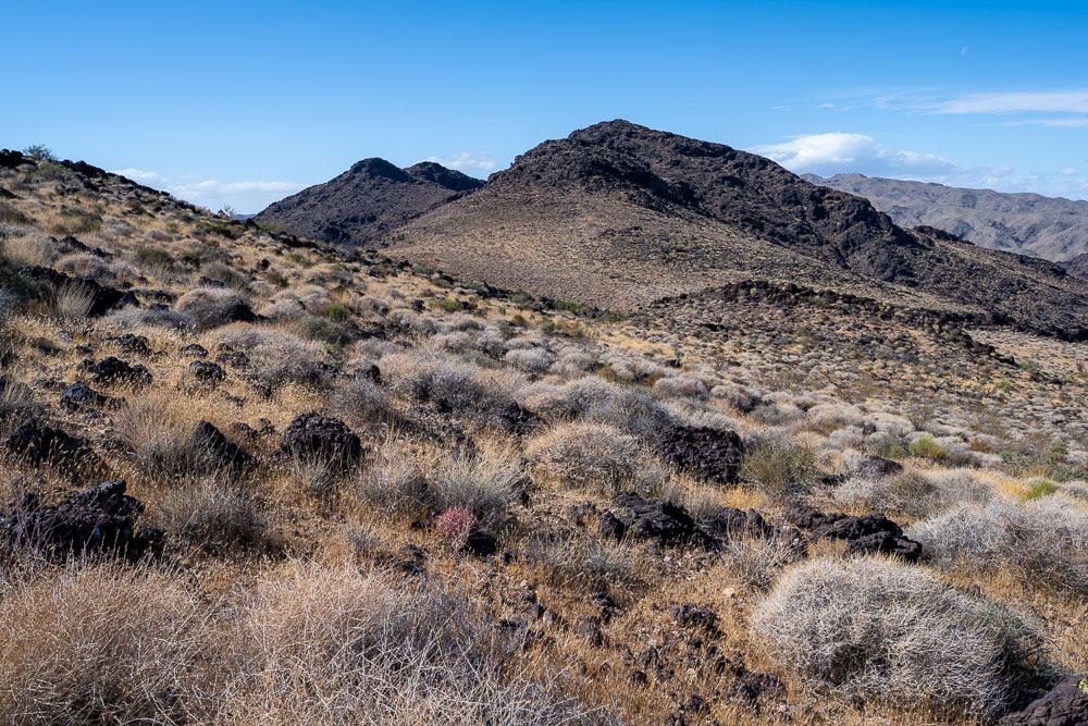
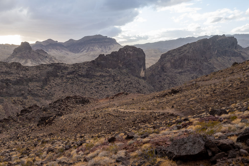
Peak 2860, one of several unnamed P1K’s in the Whipple Mountains.
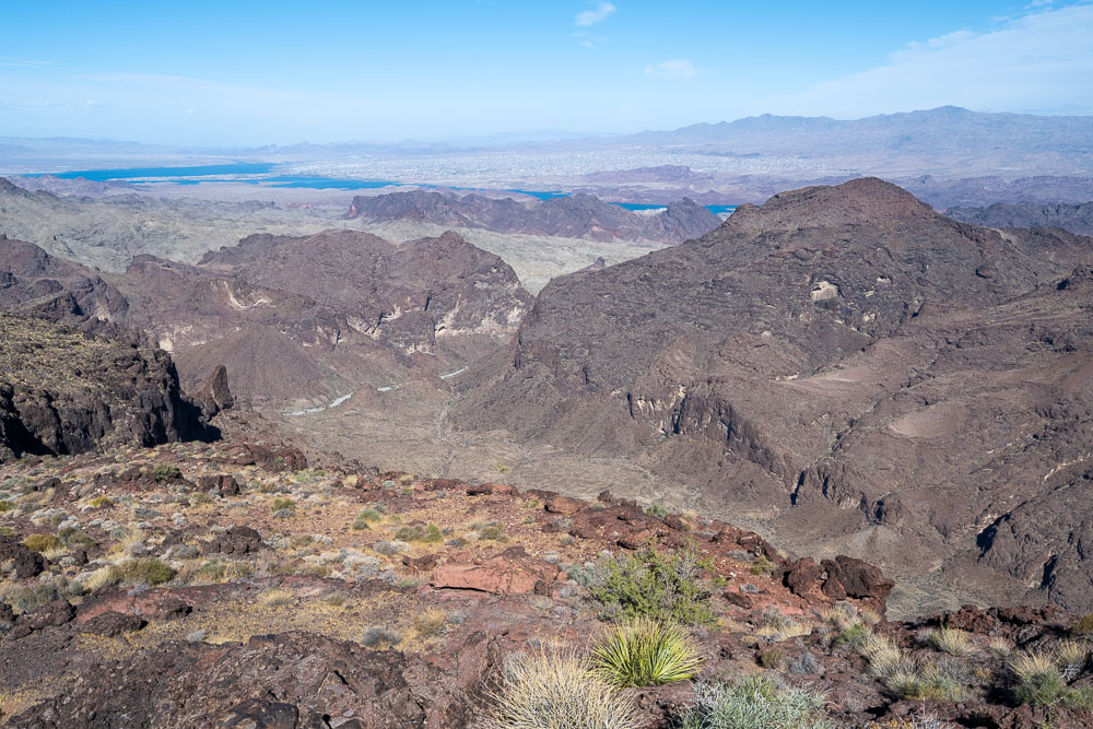
View out to Lake Havasu.
Heading for Peak 2892.
Jagged summits to the south.
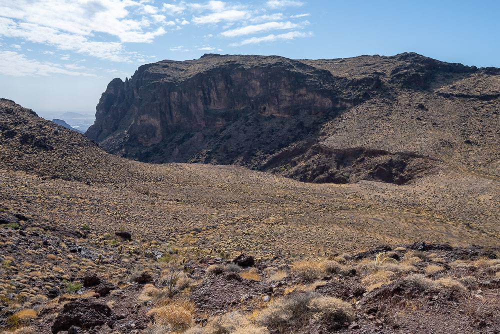
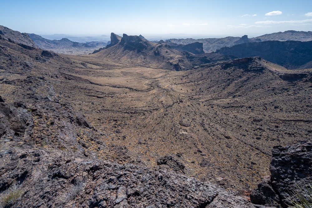
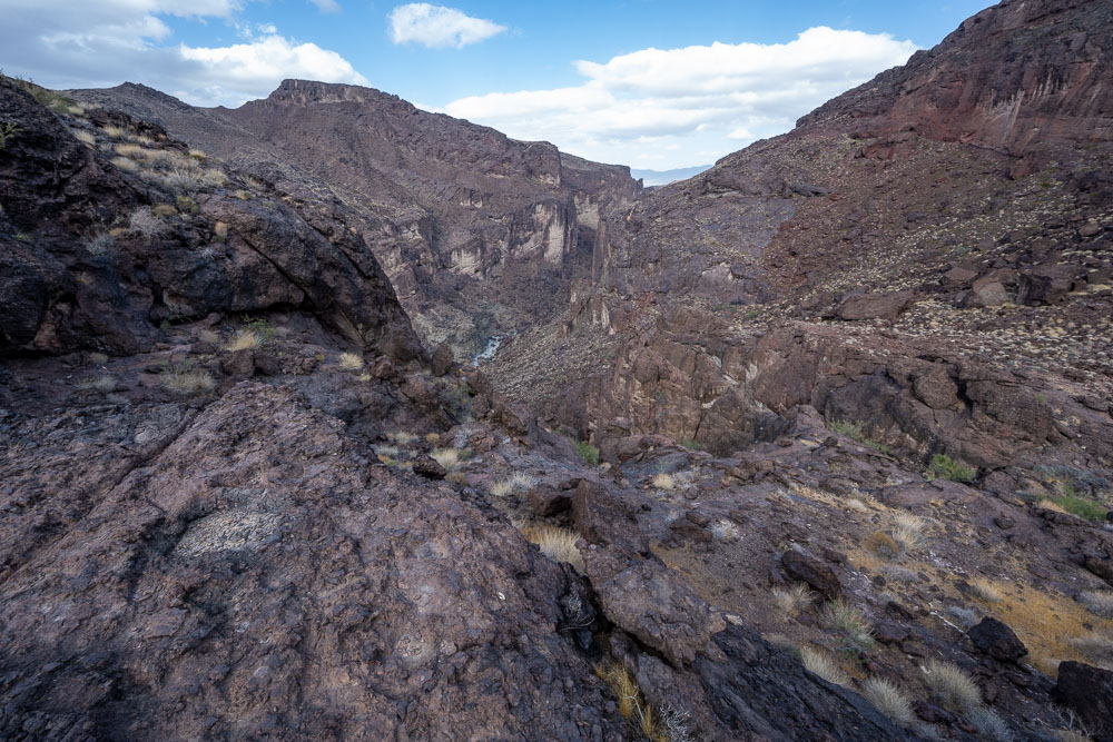
View down to the Whipple Wash.
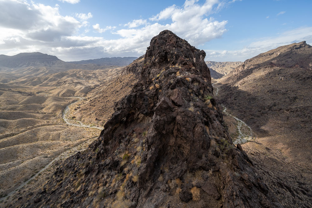
Summit of Peak 2892.
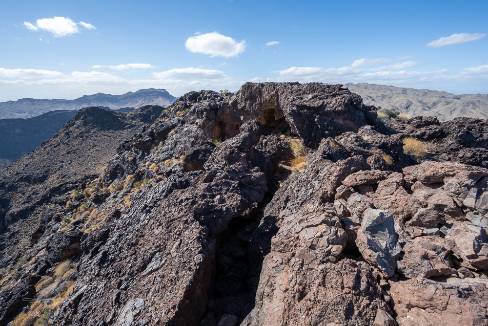
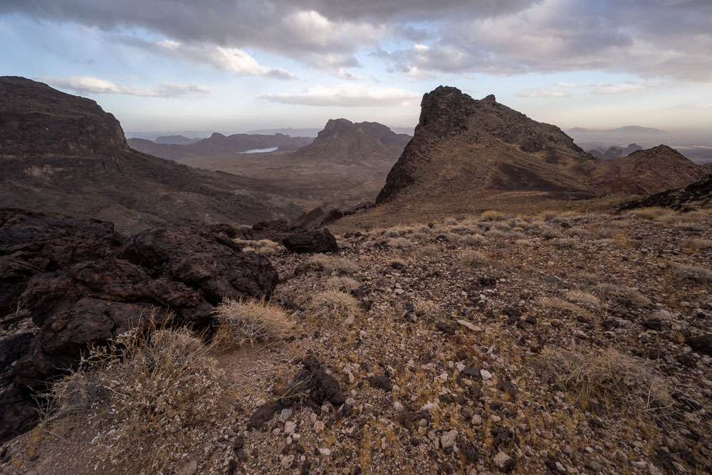
View back to Peak 3012.
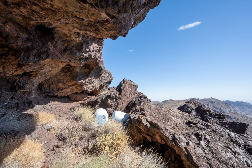
There was a large cave just below the summit of Peak 2892. Strangely there were two barrels wedged into the rock.
View back to Peak 2892 on the way down to Whipple Wash.
I wasn’t sure if I would get stuck above a dryfall, but thankfully there was a way down on the right side of the canyon I was following.
Whipple Wash with Peak 2712 on the left.
View up from Whipple Wash. I came down on the left side.
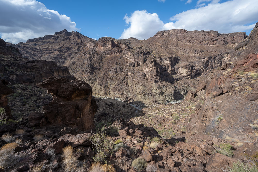
Some impressive cliffs from down in the wash.
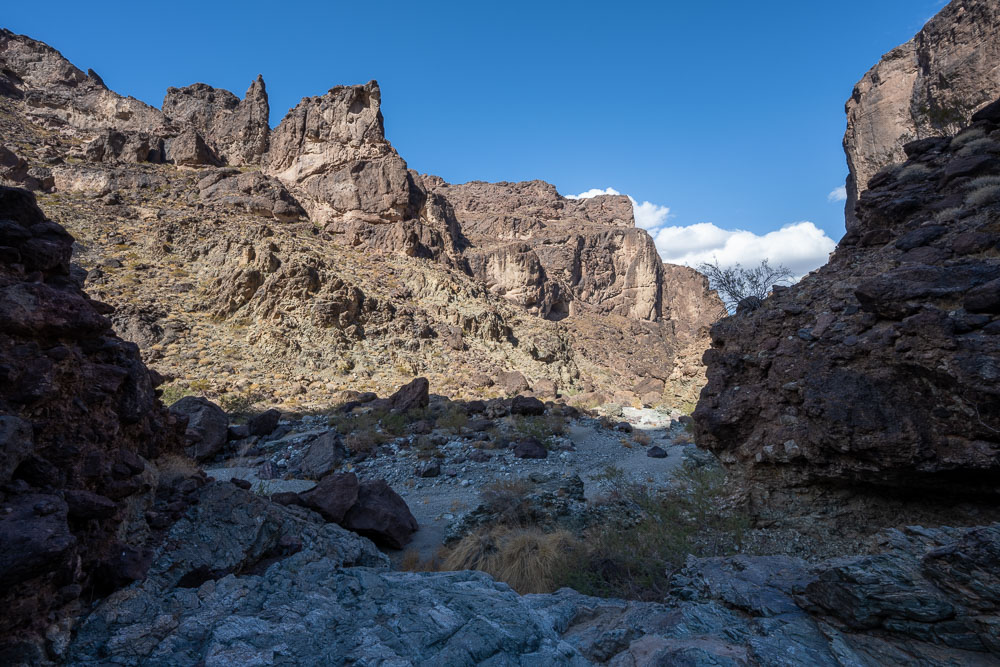
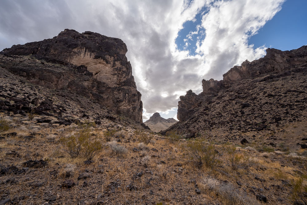
View from where the side canyon enters the main wash.
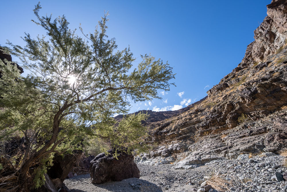
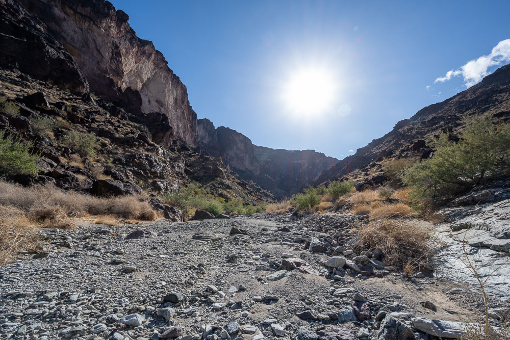
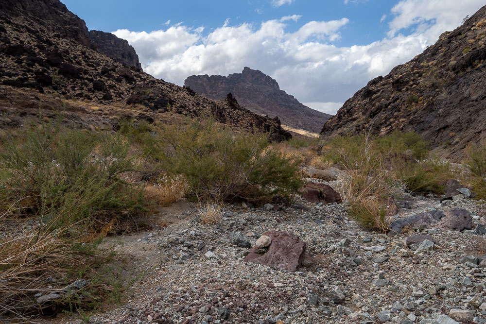
I followed the wash for several miles as I started looping back towards the Jeep.
Continuing up the wash.
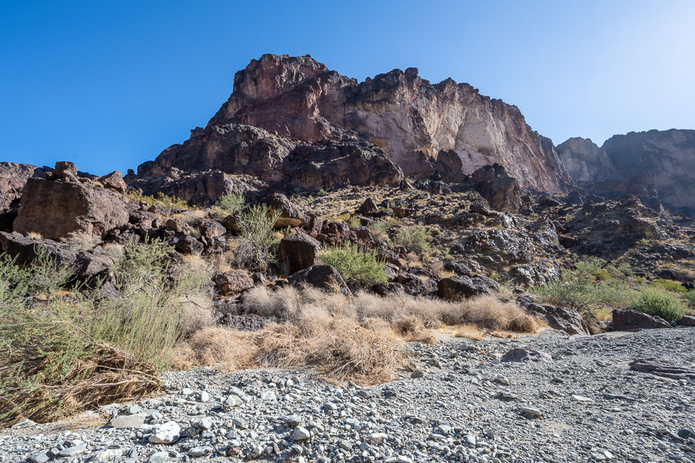
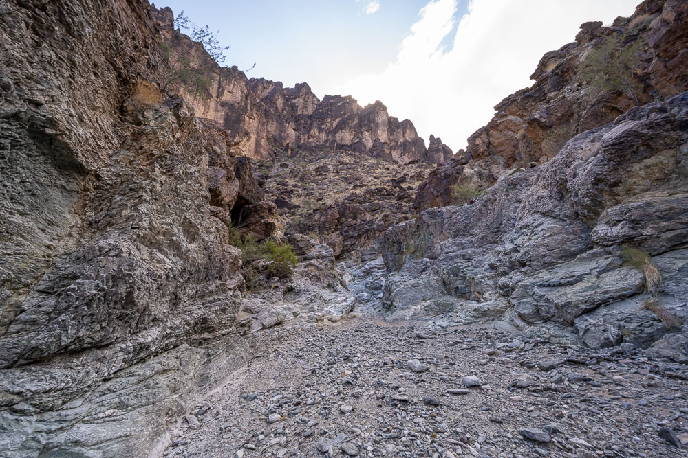
Large cliffs lined much of the wash,
Continuing up the wash.
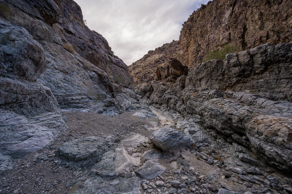
A short narrows section that surprisingly had a few pools of water.
Narrows section.
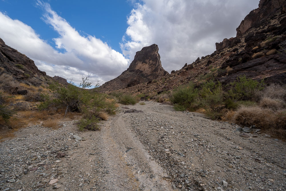
I took a branch to the left after a few miles of following the wash.
Spire of Peak 2380. I later found a way up on the south side.
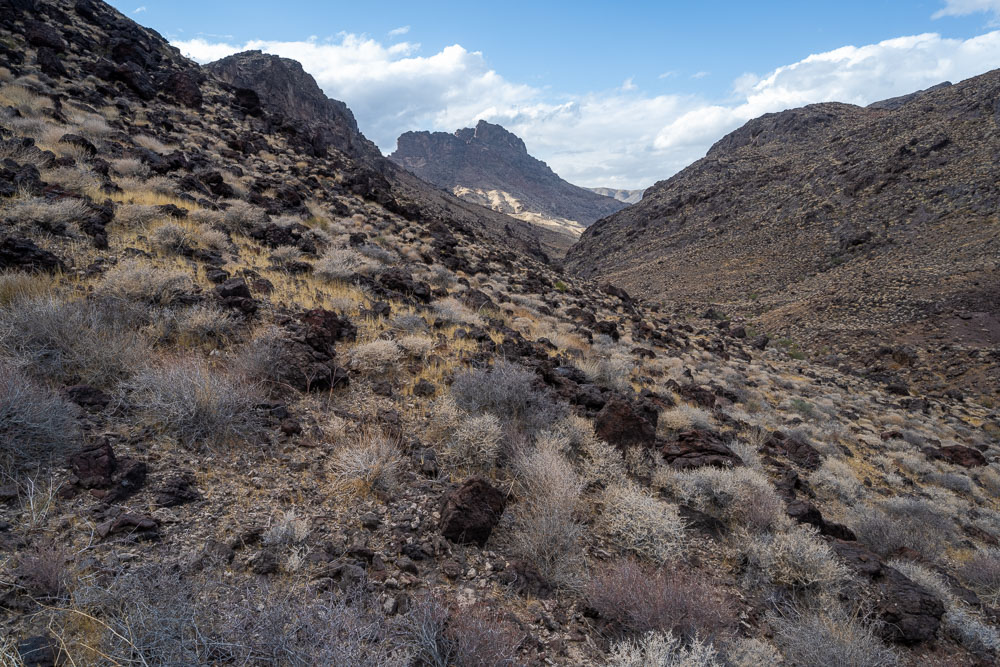
View back down the wash to Peak 2940.
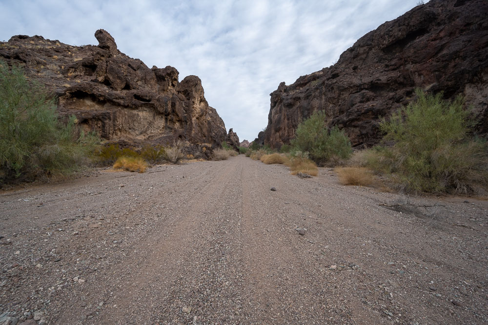
Canyon formed directly through a steep cliff band.
Another view of Peak 2940.
Approaching Peak 2380 from the south.
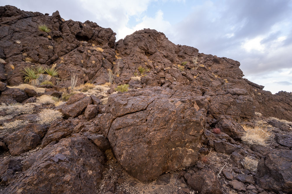
Some Class 3 scrambling to reach the summit.
View back from part way up.
Both sides of the wash that cut through the ridge are visible here. Some fun Class 3 scrambling led up to the summit.
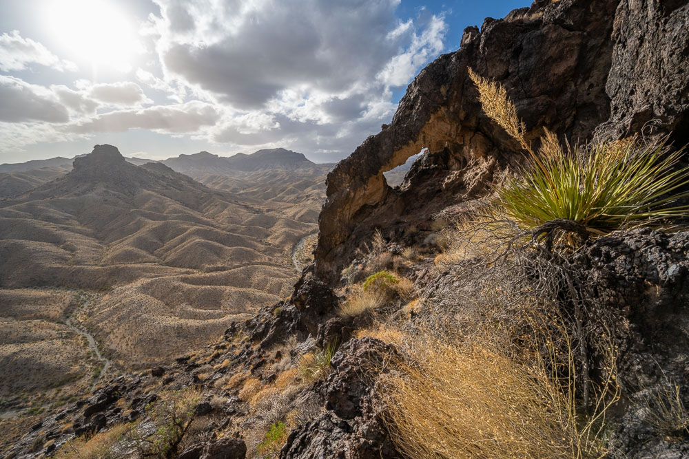
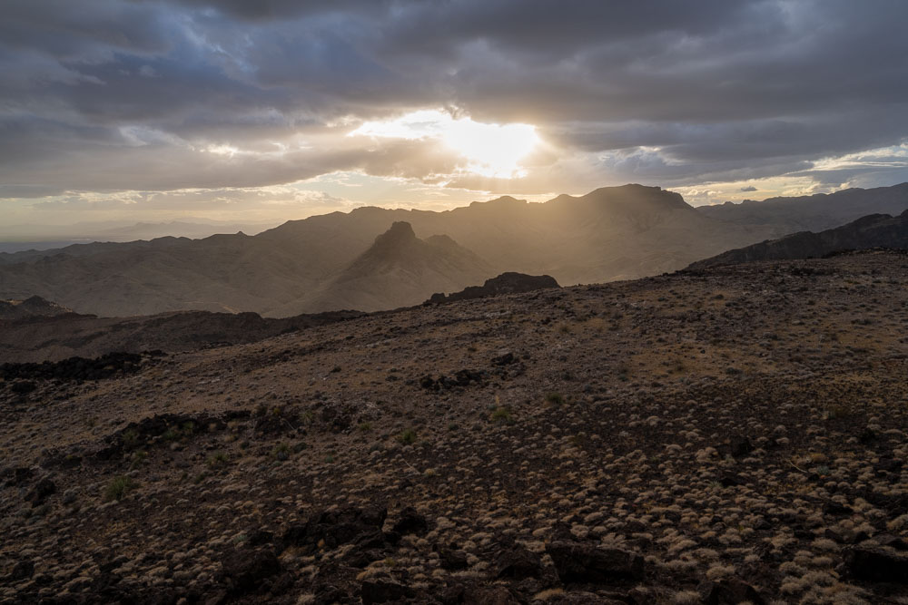
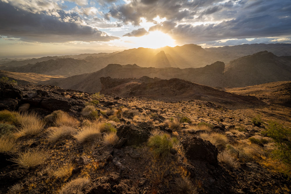
Natural arch on the way to the summit. The clouds and setting sun made for some nice light over the next couple hours.
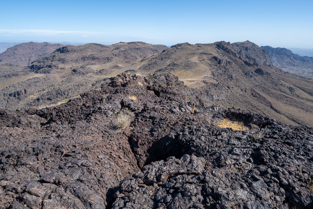
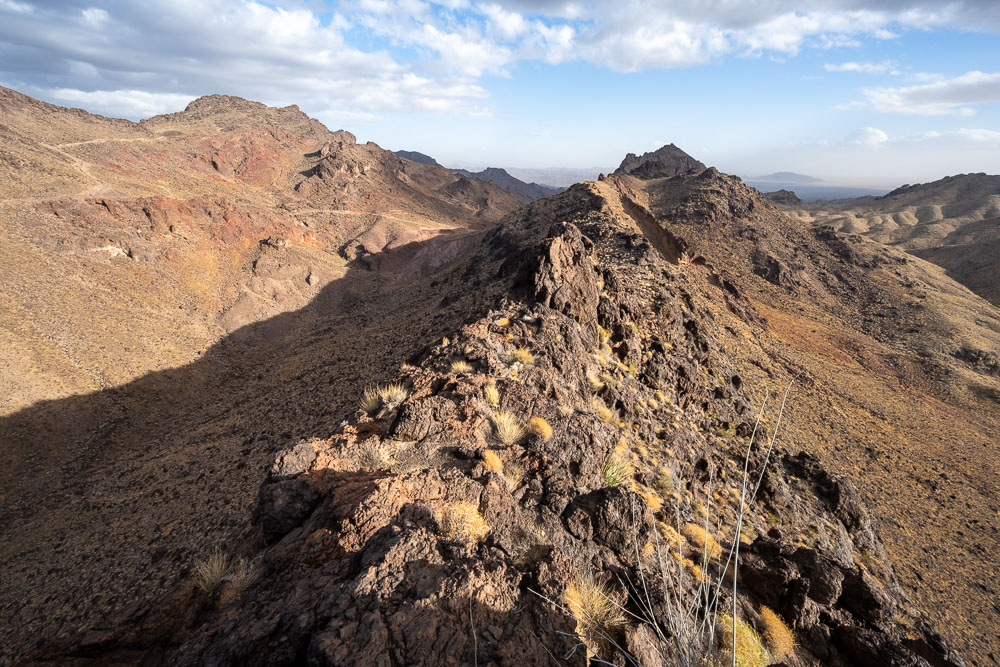
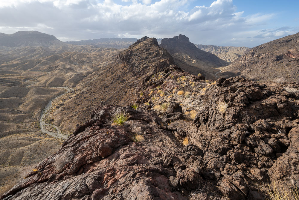
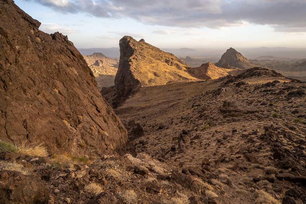
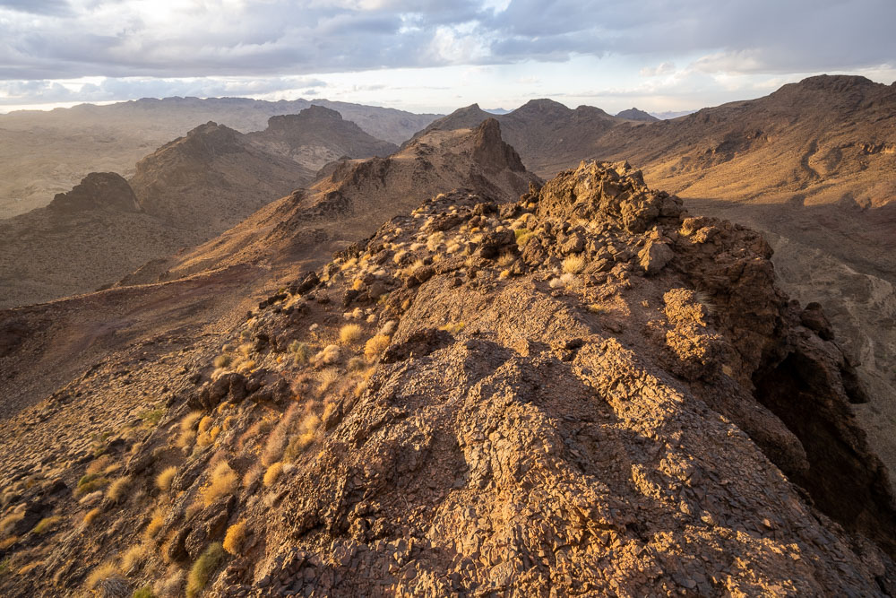
View back along the ridge.
Peak 3357, another unnamed P1K in the Whipple Mountains Wilderness.
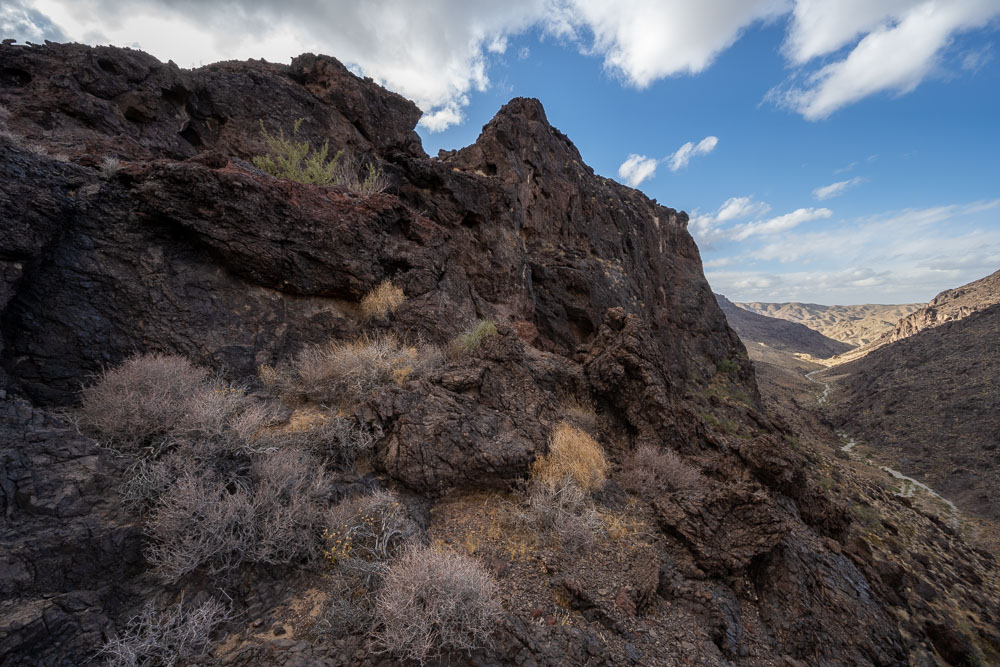
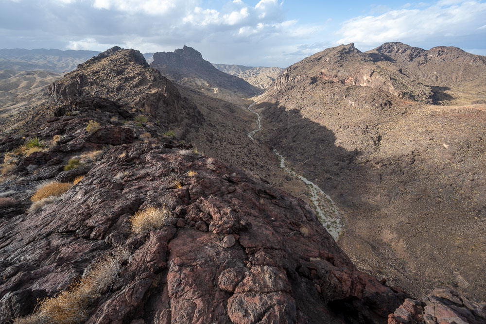
The ridge looks like it keeps going, but the wash on the left has cut directly through the ridge creating a large cliff.
Wash that I hiked up earlier in the afternoon.
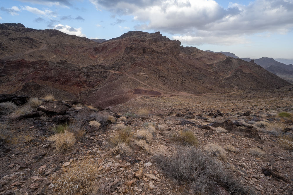
I tagged two more unnamed peaks before looping back to the Jeep. An old mining road was helpful for reaching them.